
Curated by 360alpenland
Molln
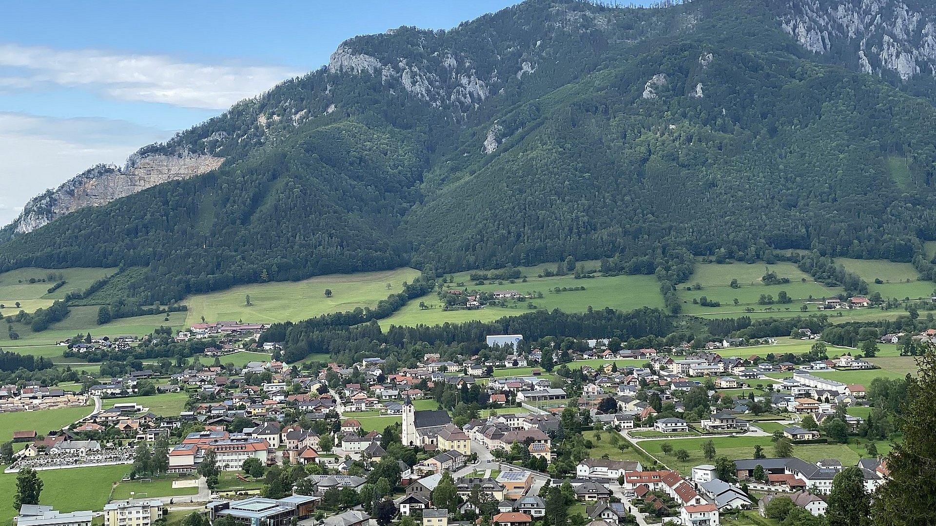
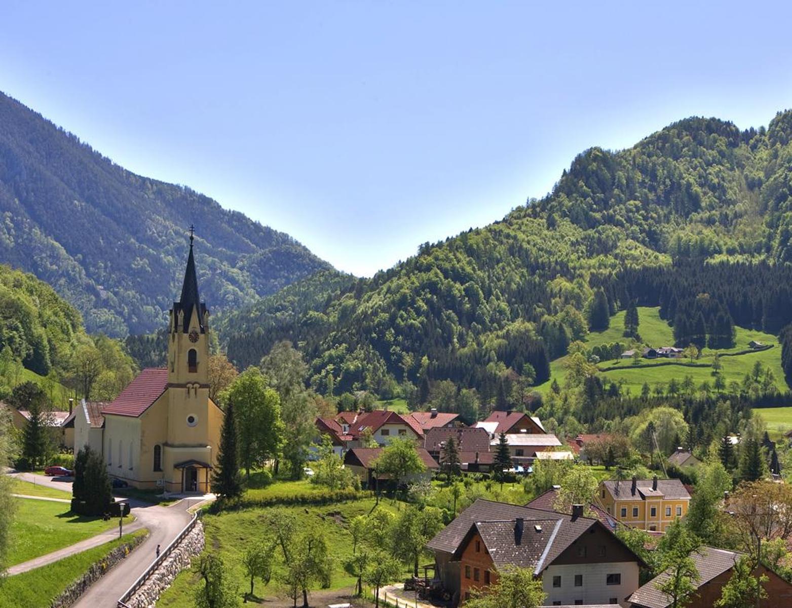
The jew's-harp village of the Steyrtal and a gateway into the Kalkalpen national park, with a poacher museum, the Frauenstein pilgrimage church and alm paths to the Feichtau lakes.
- 10Highlights
- 65Routes
Highlights
5 from neighbouring places
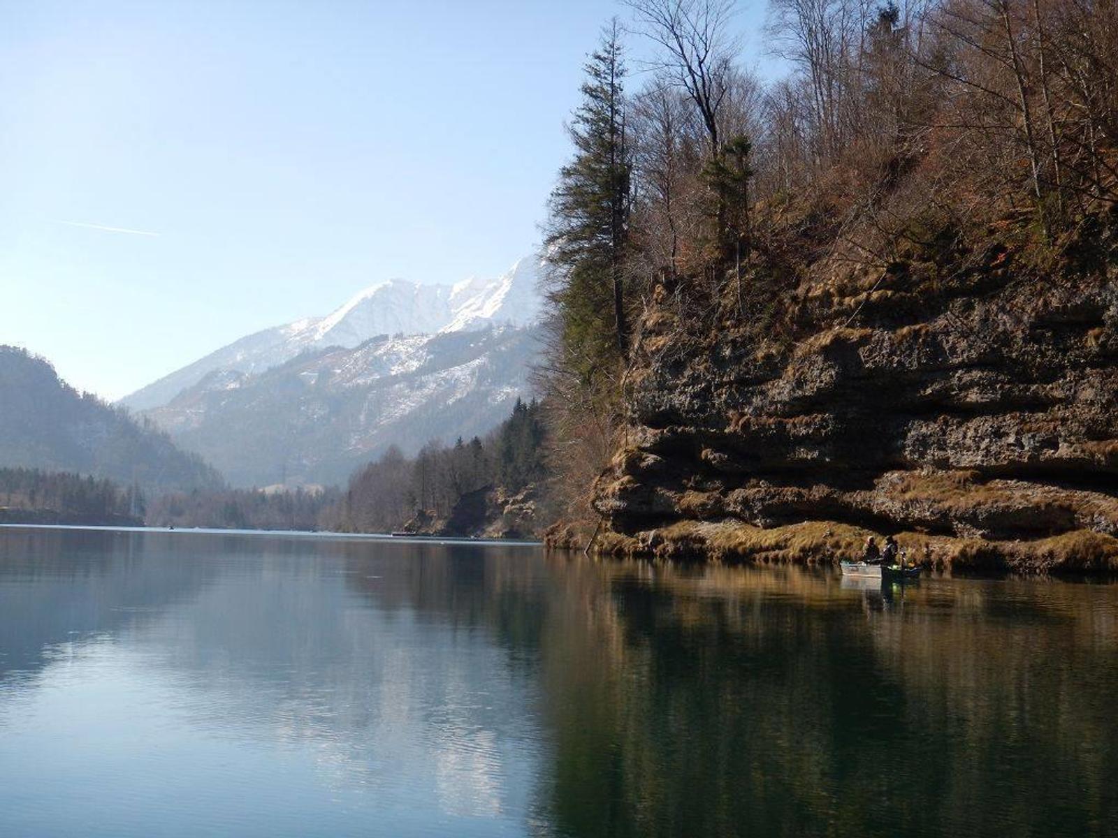
Angeln am Stausee Klaus
Fishing on the Klaus reservoir for trout and char, and for pike and perch in season.
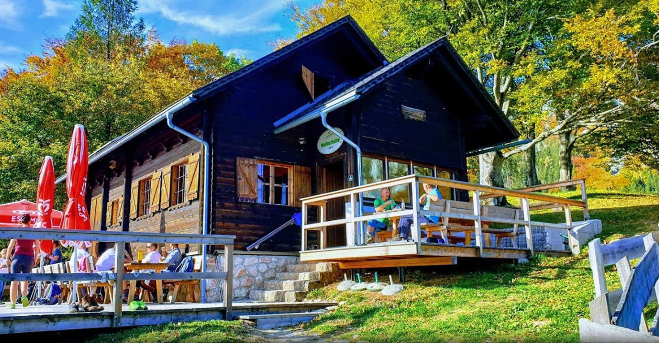
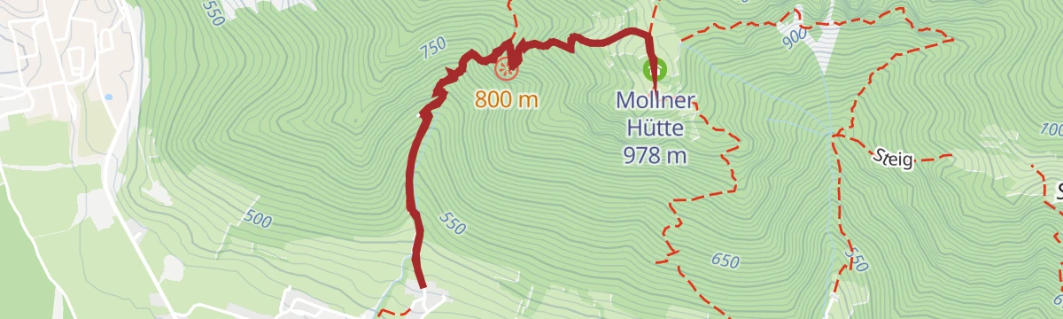
Mollner Hütte
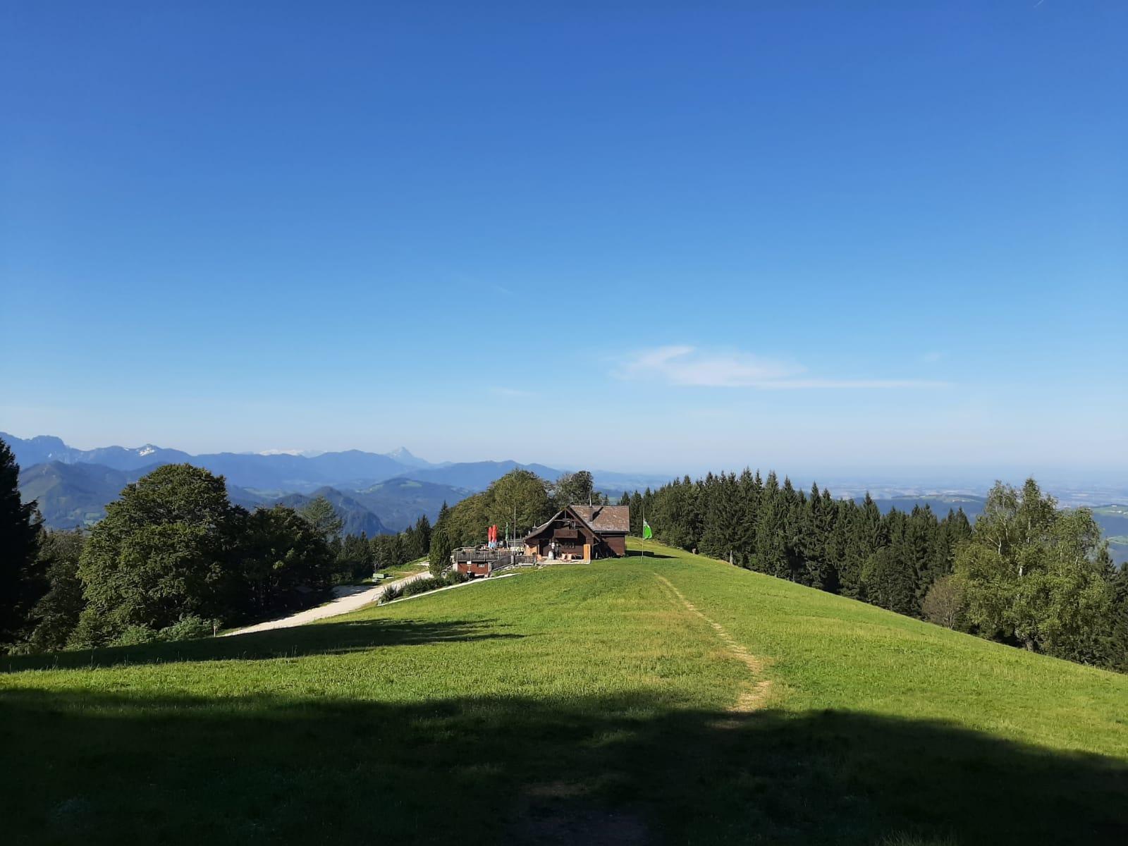
A hut above Molln in the Kalkalpen, with a phone charging point and partial mobile coverage.
Naturbadeplatz am Stausee Klaus
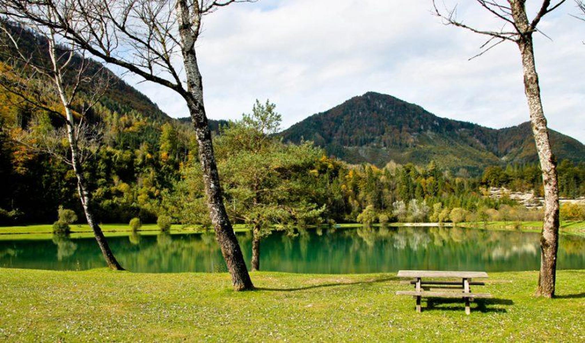
A public bathing place on the Klaus reservoir, where the Steyr is dammed below Molln.
Steyrdurchbruch Hütte
A hut at the Steyr gorge below Molln, where the river cuts through the rock.
Freibad Klaus
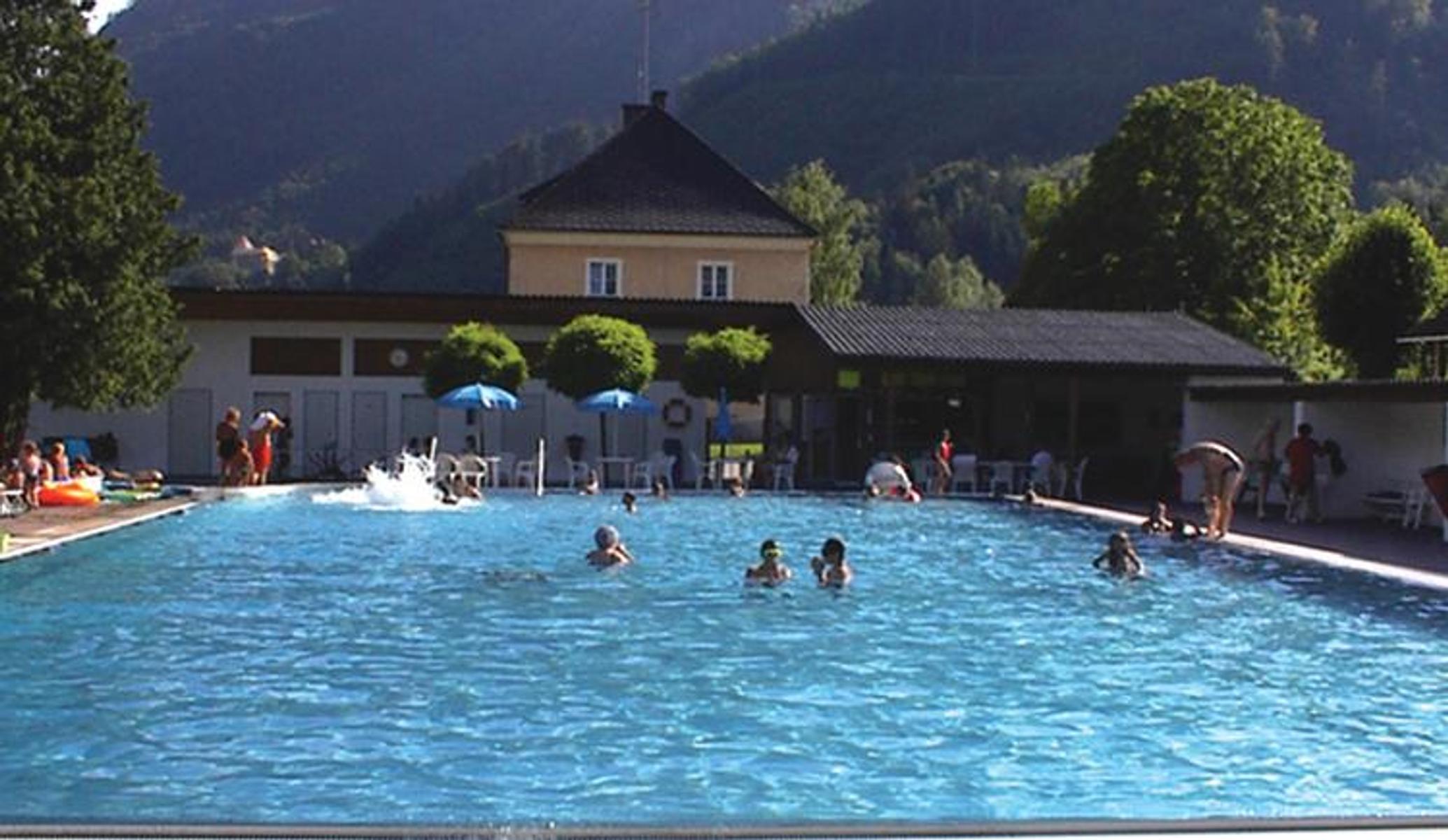
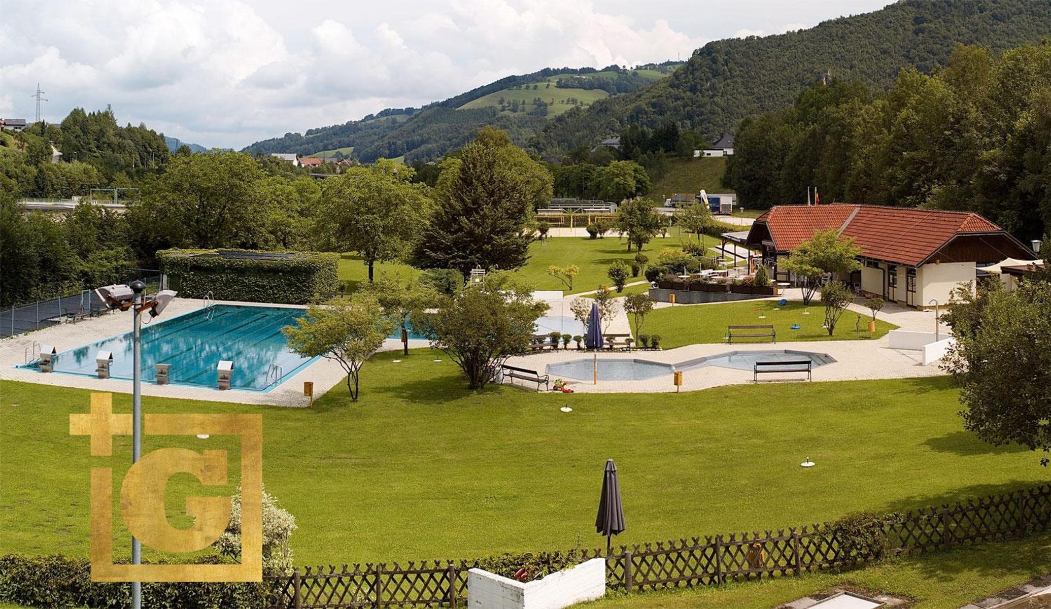
An open-air pool at Klaus, ringed by mountains, with table football, table tennis and a buffet.
Maultrommel- und Harmonika-Erlebniswelt Schwarz
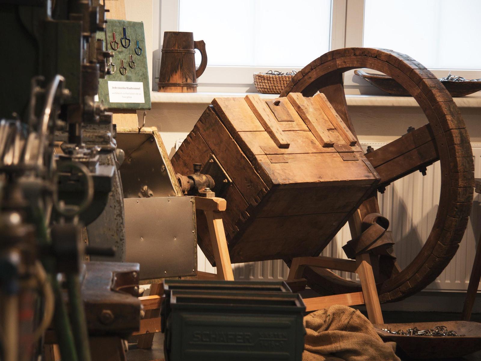
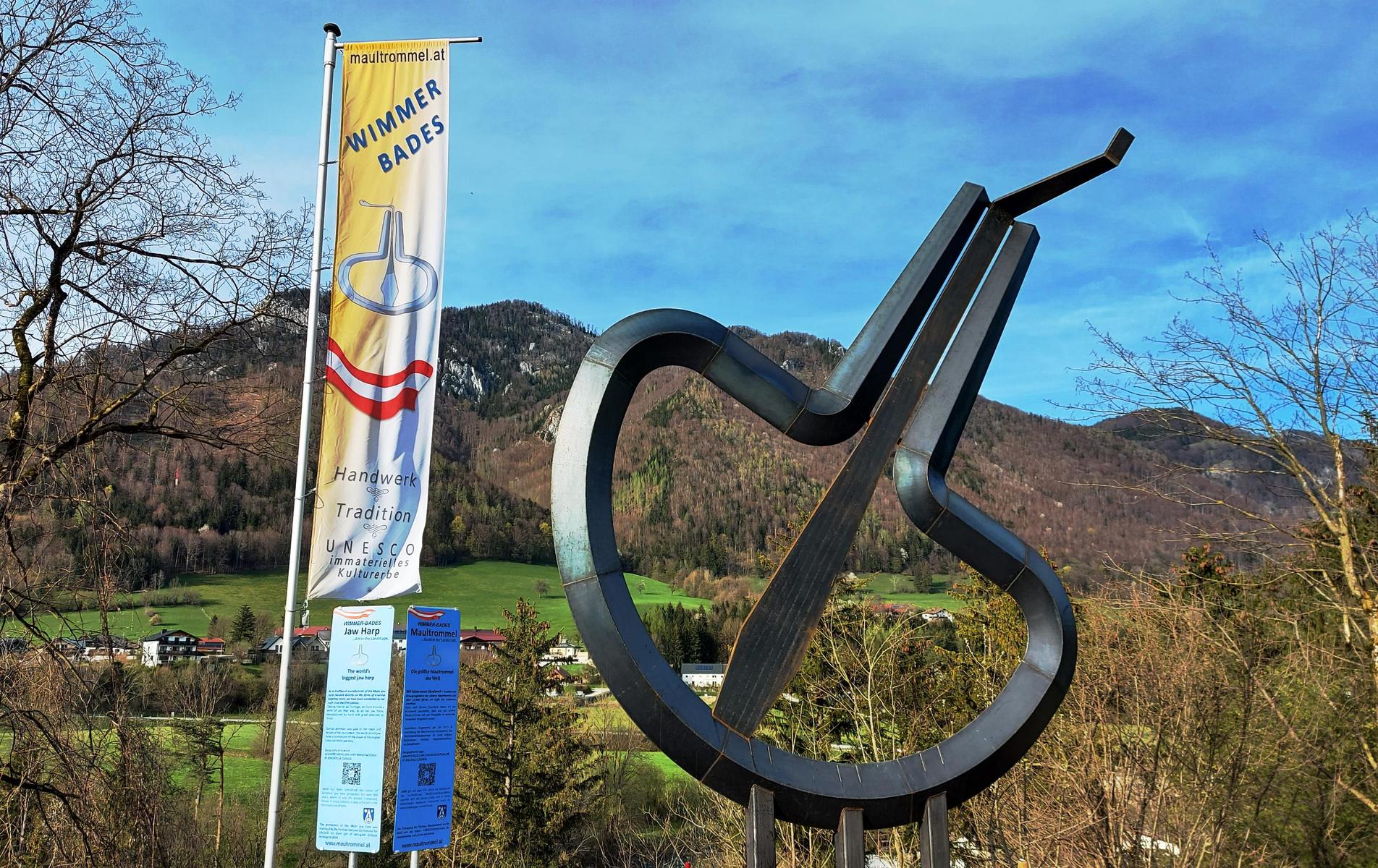
An exhibition in Molln on the jew's harp and the accordion, the instruments the village has made for generations.
Maultrommelmacher Molln
A jew's-harp workshop in Molln, where the instrument is still made by hand.
Wilderer Museum Molln
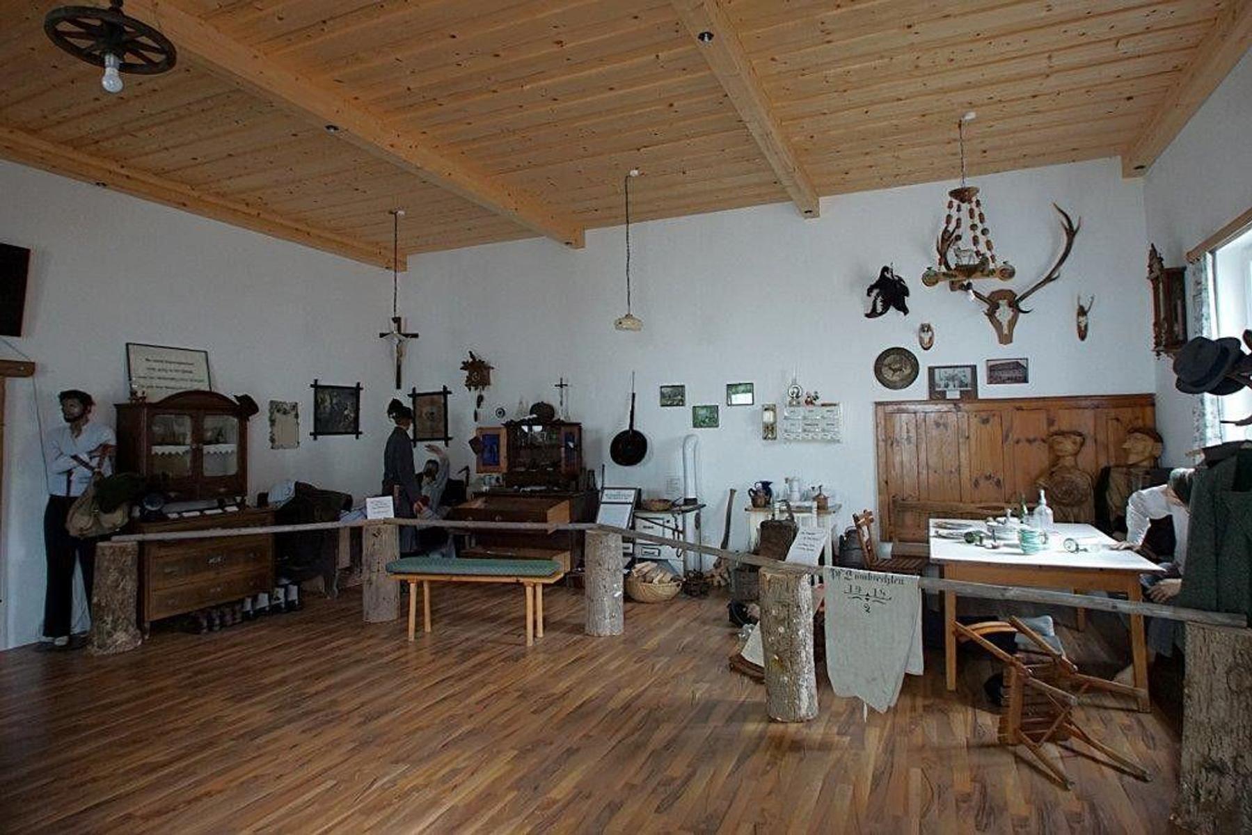
A museum of poaching in Molln, on the long conflict between poachers and foresters in the Kalkalpen; tours by arrangement.
Öffentlicher Spielplatz Klaus an der Pyhrnbahn
A public playground in Klaus an der Pyhrnbahn, near the church.
Wallfahrtskirche Frauenstein
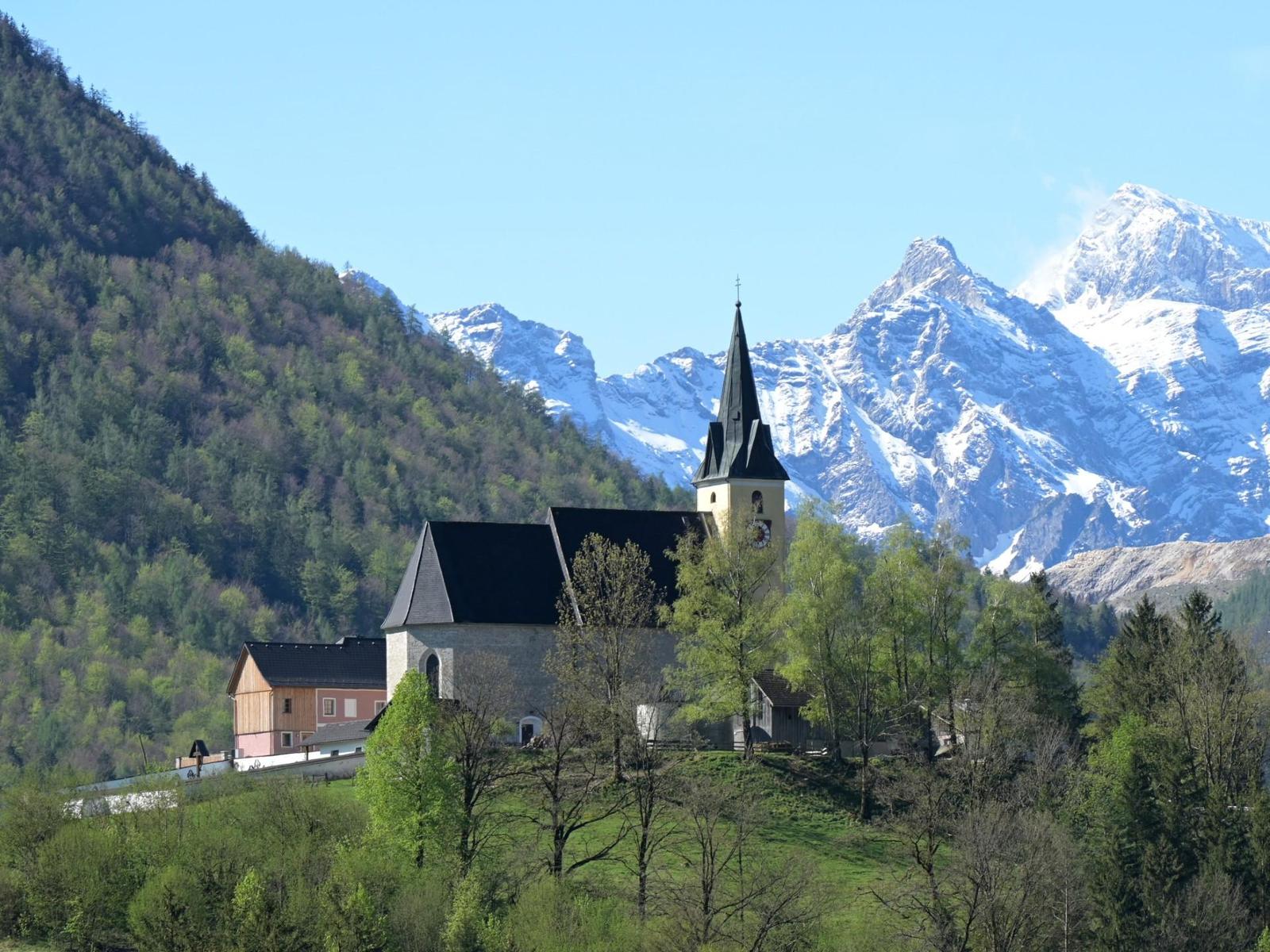
The pilgrimage church of Frauenstein above Molln, in the Steyr valley.
Grünburger Hütte
8.1 km away, in Steinbach an der Steyr
A hut above Steinbach an der Steyr, closed Wednesdays and Thursdays in May, June and October.
Anton Schosser Hütte
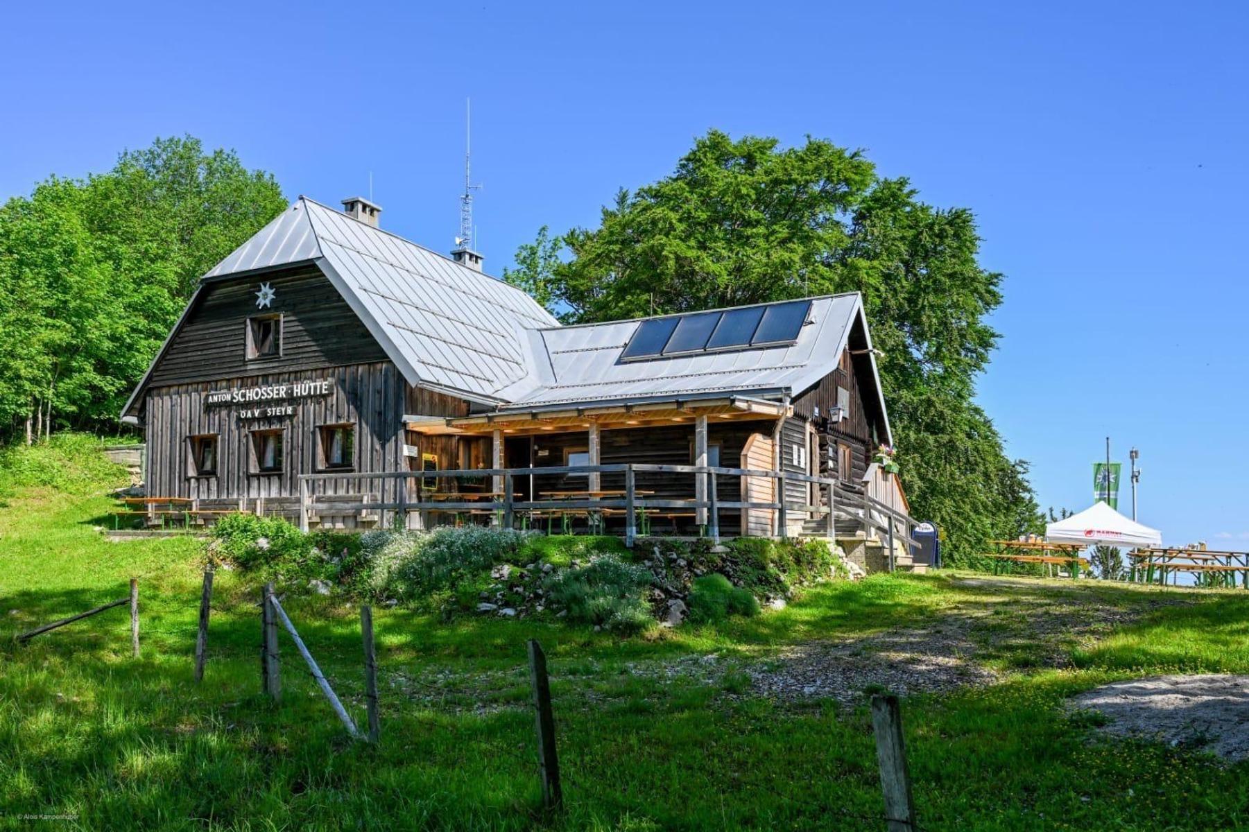
10.8 km away, in Reichraming
A hut at 1,158 m above Reichraming in the Ennstal national park region.
Freibad Ternberg
11 km away, in Ternberg
A solar-heated open-air pool in Ternberg with a large pool and a separate children's pool.
Elisabethsee
12.2 km away, in Klaus an der Pyhrnbahn
A bathing lake at Klaus an der Pyhrnbahn, shallow and warm enough to swim from early summer.
Pfarrkirche Steyrling
12.8 km away, in Klaus an der Pyhrnbahn
The parish church of Steyrling, in the side valley south of Klaus an der Pyhrnbahn.
 Mountain hut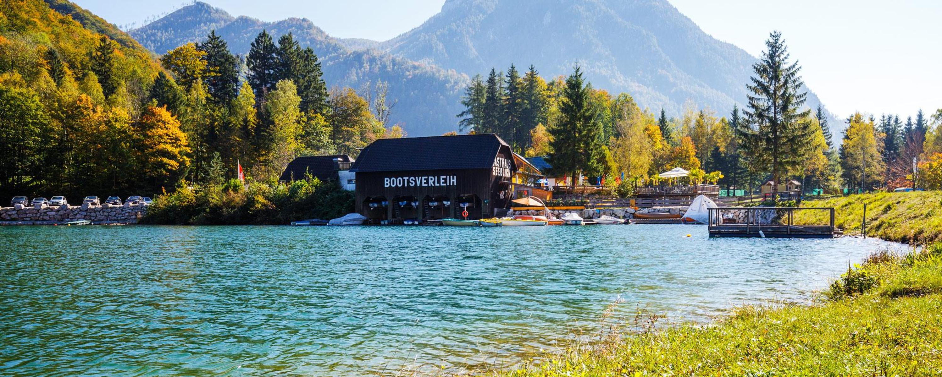

Nothing of this kind in Molln.
Routes
50 routes, an even mix of activities · see the rest on 360alpenland.com ↗
Auf den Spuren der Schwarzen Grafen
An easy circuit from Schloss Leonstein into a deeply cut side valley, following the Rinnerberger Bach upstream.
- 4.0 km
- Distance
- 139 m
- Ascent
- 1 h 17 min
- Duration
Bilderstadel Molln
A medium walk from Molln in Upper Austria, a half day out with a few hundred metres of climbing.
- 12.8 km
- Distance
- 492 m
- Ascent
- 4 h 13 min
- Duration
Alpstein-Trämpl
A long and demanding mountain walk above Molln in Upper Austria, with more than a thousand metres of climbing.
- 14.5 km
- Distance
- 1 110 m
- Ascent
- 7 h 13 min
- Duration
MTB Tour Schaumbergalm
A steep forest-road climb out of Molln in Oberösterreich, gaining nearly 800 m to an alm in the hills above the village.
- 16.5 km
- Distance
- 787 m
- Ascent
- 2 h 13 min
- Duration
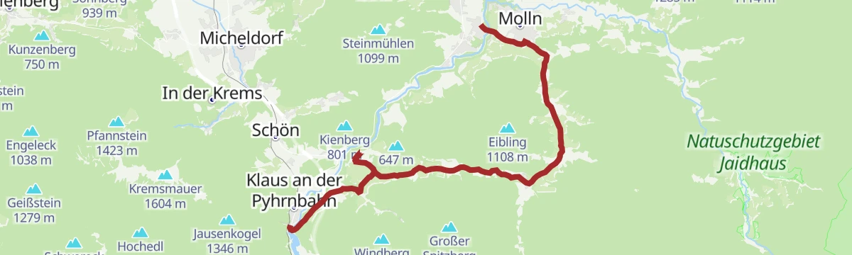
Blumauer Alm
A long there-and-back to a dairy hut at the head of the Bodinggraben, one of the finest valley closes in the Nationalpark Kalkalpen.
- 44.7 km
- Distance
- 793 m
- Ascent
- 4 h 43 min
- Duration
383 Radtour "Hüttenzauber"
One of the numbered cycle routes around the spa town of Bad Hall, a medium loop with a good deal of climbing for its short length.
- 56.9 km
- Distance
- 650 m
- Ascent
- 5 h 39 min
- Duration
Mollner Runde
A long, nearly level circuit around Molln, taking the valley route out and back with very little climbing anywhere along it.
- 19.6 km
- Distance
- 302 m
- Ascent
- 2 h 2 min
- Duration
Bachaufwärts im Bodinggraben zum Jagahäusl
A very short and easy stroll upstream into the Bodinggraben from the Scheiblingau car park near Molln.
- 1.9 km
- Distance
- 78 m
- Ascent
- 35 min
- Duration
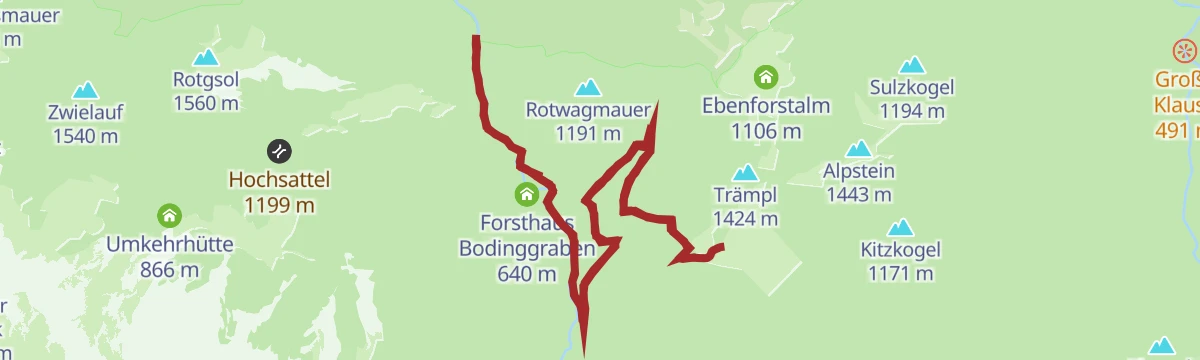
Ebenforstalm von Molln/Bodinggraben
A steady climb from the Bodinggraben above Molln up to the high pasture, and back down by the same way.
- 16.5 km
- Distance
- 712 m
- Ascent
- 5 h 38 min
- Duration
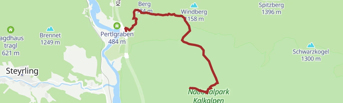
Bergwanderung auf den Spering
A steep mountain walk from the Pertlgraben at Klaus an der Pyhrnbahn to a summit looking out over the whole region.
- 6.5 km
- Distance
- 1 132 m
- Ascent
- 4 h 22 min
- Duration
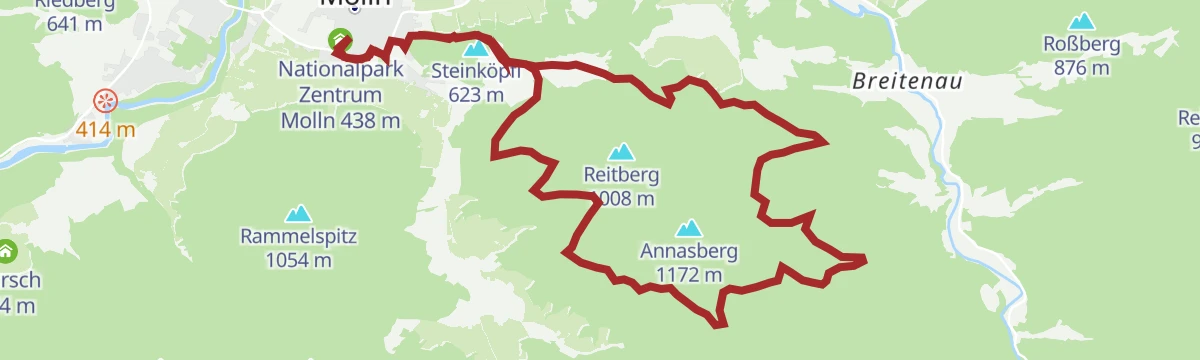
Mollner Maultrommel Runde
A loop from the Nationalpark Zentrum in Molln, the service point for walkers and nature lovers, climbing steeply onto the hillside above.
- 18.3 km
- Distance
- 730 m
- Ascent
- 2 h 19 min
- Duration
Bodinggraben
A long route out of Molln beside the Krumme Steyrling, starting at the national park centre and its exhibition, with places to stop en route.
- 19.0 km
- Distance
- 432 m
- Ascent
- 2 h 2 min
- Duration
Pyhrn-Priel Panorama Radtour
A very long circuit of the Pyhrn-Priel region on quiet back roads, with enough climbing to make an electric bike welcome.
- 115.5 km
- Distance
- 850 m
- Ascent
- 11 h 3 min
- Duration
Erlebnisweg Wasser-Spuren (Bodinggraben)
A short themed path about water at the head of the Bodinggraben, easy going, family-friendly and passable with a pushchair.
- 3.6 km
- Distance
- 217 m
- Ascent
- 1 h 25 min
- Duration
Feichtau Alm (von Ramsau-Hopfing)
A steady climb from Ramsau-Hopfing up to the alpine pasture above Molln, gaining most of its height on the way.
- 5.7 km
- Distance
- 774 m
- Ascent
- 3 h 5 min
- Duration
Ebenforstalm
A varied climb to an alpine pasture on good paths that steepen in places and turn slippery after rain.
- 8.8 km
- Distance
- 995 m
- Ascent
- 4 h 29 min
- Duration
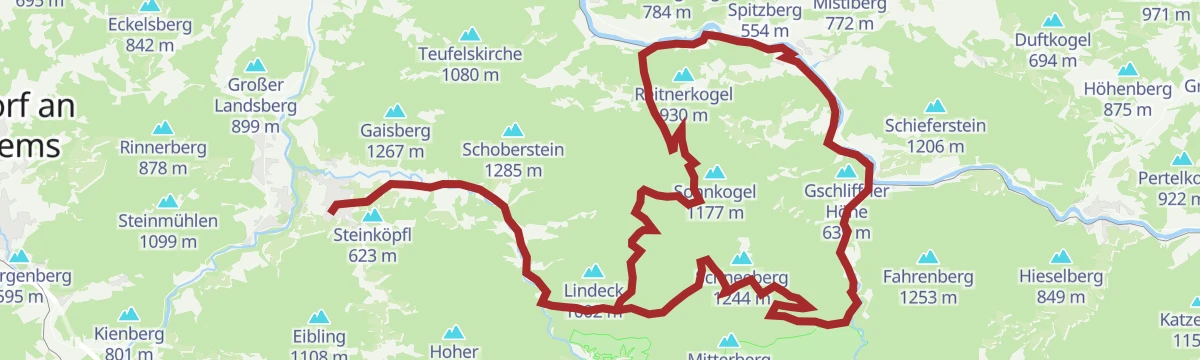
Gaisberg-Runde (ab Molln)
A demanding round from Molln over the Gaisberg, with the Grünburger Hütte for a halt on the way.
- 46.4 km
- Distance
- 1 715 m
- Ascent
- 5 h 45 min
- Duration
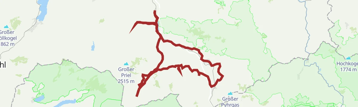
Rund um den Nationalpark Kalkalpen
A long tour right around the Nationalpark Kalkalpen, big enough that it is often split across two days.
- 138.4 km
- Distance
- 3 147 m
- Ascent
- 15 h 15 min
- Duration
Flötzersteigrunde
A riverside round by the Steyr and the left bank of the Krumme Steyrling, past remains of the timber-floating works; sure footing needed.
- 4.3 km
- Distance
- 91 m
- Ascent
- 1 h 14 min
- Duration
Frauenstein
A ten-kilometre walk on the lower ground around Molln, with only a couple of hundred metres of climbing.
- 10.9 km
- Distance
- 273 m
- Ascent
- 3 h 14 min
- Duration
Energie Tour
A long circuit through the hills around Molln in Upper Austria, nearly thirty kilometres with only moderate climbing.
- 28.4 km
- Distance
- 552 m
- Ascent
- 8 h 12 min
- Duration
Hohe Dirn (ab Molln)
A sunny climb from the national park centre at Molln to the Hohe Dirn and the Anton Schosser hut.
- 48.4 km
- Distance
- 241 m
- Ascent
- 4 h 31 min
- Duration
Steyr - Spital am Pyhrn
A valley ride from Steyr along the old Steyrtalbahn alignment, past the Klaus reservoir and over a former Pyhrnbahn bridge into the Kalkalpen.
- 72.0 km
- Distance
- 1 309 m
- Ascent
- 7 h 30 min
- Duration
Gaisberg-Dürres Eck (über Grünburger Hütte)
An easy forest-road stretch from the Grünburger Hütte over the Brettmaisalm and the Pfaffenboden across to the Mandlmais.
- 3.4 km
- Distance
- 306 m
- Ascent
- 1 h 43 min
- Duration
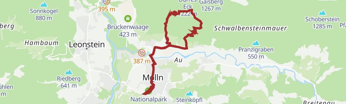
Gaisberg-Dürres Eck (über Mollner Hütte)
A summit outing from Molln onto two neighbouring tops, steep for its length and noted for its geology and plant life.
- 4.0 km
- Distance
- 782 m
- Ascent
- 3 h 2 min
- Duration
Etappe N10 Benedikt-Pilgerweg OÖ
A long pilgrimage stage on the route linking the Benedictine houses of Admont, Seckau and Sankt Paul im Lavanttal across three provinces.
- 23.3 km
- Distance
- 1 038 m
- Ascent
- 8 h 1 min
- Duration
MTB32 Hambaumrunde mit Altpernstein
A long circuit in the hills above the Steyr valley, passing the castle of Altpernstein and gathering a lot of climbing over its length.
- 25.4 km
- Distance
- 823 m
- Ascent
- 3 h 2 min
- Duration
Steyrtal Radweg R8
A route that follows the Steyr upstream from the town as far as Klaus, threading the valley through the Oberösterreich foothills.
- 49.4 km
- Distance
- 898 m
- Ascent
- 5 h 8 min
- Duration
Klaus
A riverside walk along the Steyr from the village on the Pyhrnbahn line up to the pilgrimage church at Frauenstein.
- 3.9 km
- Distance
- 149 m
- Ascent
- 1 h 16 min
- Duration
Gaisberg-Runde (ab Steinbach)
A circuit from Steinbach over the Pfaffenboden, calling at Gasthaus Klausriegler and Gasthaus Steiner Kraml in the Breitenau before turning for home.
- 56.9 km
- Distance
- 860 m
- Ascent
- 15 h 27 min
- Duration
Feichtau Alm
A pasture-and-summit walk, well trodden but thinly waymarked at the start, with a marked black path on to the Hohe Nock for settled weather.
- 25.2 km
- Distance
- 1 734 m
- Ascent
- 11 h 35 min
- Duration
Molln
A climb up to the Ebenforstalm, with wide views over the Reichraminger Hintergebirge and across to the Sengsengebirge.
- 23.8 km
- Distance
- 960 m
- Ascent
- 2 h 47 min
- Duration
Trailing Runde
A varied round of two foothill summits above Molln, with one steep descent and wide valley views.
- 21.4 km
- Distance
- 875 m
- Ascent
- 2 h 43 min
- Duration
Kreuzweg
An easy path up from the Schwertschmiede Schmidberger to the Mollner Satterl, lined with carefully made stations and mixed woodland.
- 1.2 km
- Distance
- 140 m
- Ascent
- 40 min
- Duration
Grünburger Hütte über Dorngraben Molln
A steep hike in the Upper Austrian limestone Alps, gaining close to 600 metres in barely three kilometres to reach the hut on the slope above.
- 3.4 km
- Distance
- 591 m
- Ascent
- 2 h 14 min
- Duration
Feichtau Alm (vom Bodinggraben)
A climb from the Bodinggraben car park past the Blumaueralm, with the Feichtau lakes a short detour on from the high pasture.
- 9.4 km
- Distance
- 922 m
- Ascent
- 4 h 11 min
- Duration
Um die Hohe Dirn
A sunny route around the Hohe Dirn from Molln, out to a balcony above the Enns and its foreland.
- 68.0 km
- Distance
- 2 158 m
- Ascent
- 8 h 4 min
- Duration
L2 Molln
A varied woodland circuit through the Satterl area, with openings in the trees looking back down on the village below.
- 6.3 km
- Distance
- 244 m
- Ascent
- 2 h 4 min
- Duration
L2 Lustiges Kegerl
A pleasant loop that circles the Kienberg and then takes in its top, on the wooded ground above Molln.
- 12.3 km
- Distance
- 375 m
- Ascent
- 3 h 48 min
- Duration
Grünburger Hütte (über Schoberstein)
A demanding walk above Molln that links two popular huts, both of them known for their long views out over the surrounding ranges.
- 7.3 km
- Distance
- 920 m
- Ascent
- 5 h 26 min
- Duration
L2 Rinnende Mauer
An easy, short round in the Steyrschlucht nature reserve, running beneath overhanging conglomerate faces with views down to the river.
- 10.0 km
- Distance
- 260 m
- Ascent
- 2 h 58 min
- Duration
L2 Mollner Trail
A moderate running loop climbing to the hut on the hillside, with somewhere to stop for a meal before heading back down.
- 10.1 km
- Distance
- 250 m
- Ascent
- 2 h 59 min
- Duration
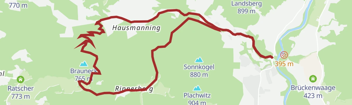
L3 Rinnerberg-Trail
A long, demanding circuit through the Rinnerberger Klamm and right around the hill it cuts into, in the wooded country near Molln.
- 15.1 km
- Distance
- 418 m
- Ascent
- 4 h 34 min
- Duration
Maultrommelweg
An easy, almost level themed path on the valley floor at Molln, a little over three kilometres from end to end.
- 3.1 km
- Distance
- 41 m
- Ascent
- 50 min
- Duration
L3 Rinnende Mauer Trail
A varied loop that follows the Steyr with open views of the water, then climbs away to the Mollnerhütte before returning to the valley.
- 14.0 km
- Distance
- 733 m
- Ascent
- 5 h 18 min
- Duration
L5 Sonnseiten-Trail Molln
A long, hard circuit up the Schoberstein, a local classic of a summit day, with a hut to stop at somewhere along the way.
- 22.5 km
- Distance
- 1 200 m
- Ascent
- 8 h 37 min
- Duration
Pranzlgraben
A short and easy walk into a narrow side valley near Molln, with a gentle couple of hundred metres of climbing.
- 4.0 km
- Distance
- 193 m
- Ascent
- 1 h 25 min
- Duration
Mollner Hütte
A short, steep ascent to the hut above the village, gaining close to 500 metres in under four kilometres of walking.
- 4.0 km
- Distance
- 498 m
- Ascent
- 2 h 57 min
- Duration
L5 Trailing Trail Molln
A longer but technically straightforward loop around the Hohe Trailing, taking in the summit and open views on the way round.
- 22.4 km
- Distance
- 1 093 m
- Ascent
- 8 h 3 min
- Duration
Schloss Klaus
A short, easy round from the valley up to the castle and on to the Bergkirche, returning across the meadow of the Hofwiese.
- 1.7 km
- Distance
- 62 m
- Ascent
- 34 min
- Duration














No routes of this kind in Molln yet.
Planning a trip to Molln?
Everything else Upper Austria has, in one place


Take Molln with you into the mountains
Every route on this page with 3D terrain, GPX navigation and offline maps — including the valleys with no signal.
Data sources
- Official website: 360alpenland.com ↗
- Routes and highlights: 360alpenland
- Published as open data by the tourist boards named above.
- Region summary generated from the board's own material.
