
 Historic site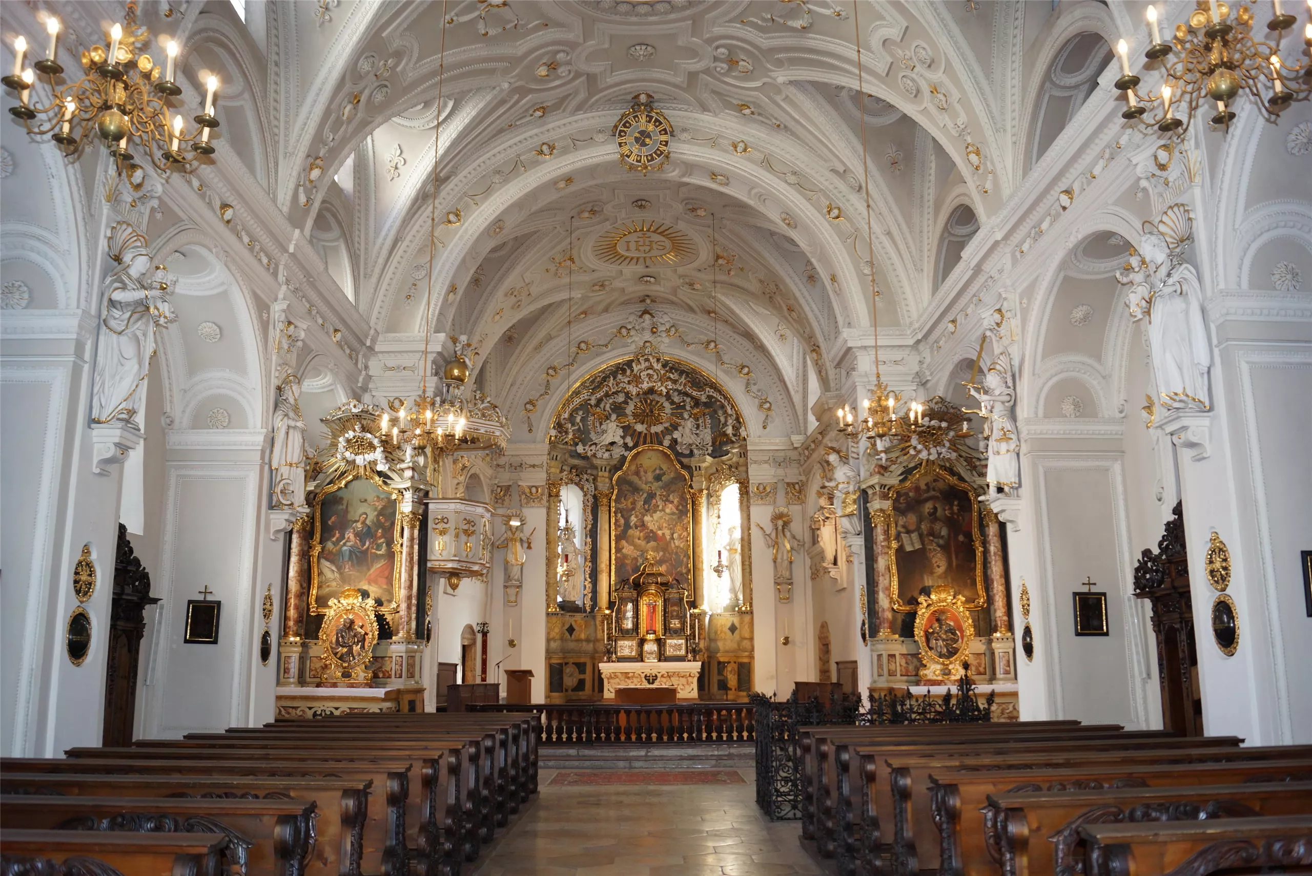






Curated by Region Hall-Wattens
Mils
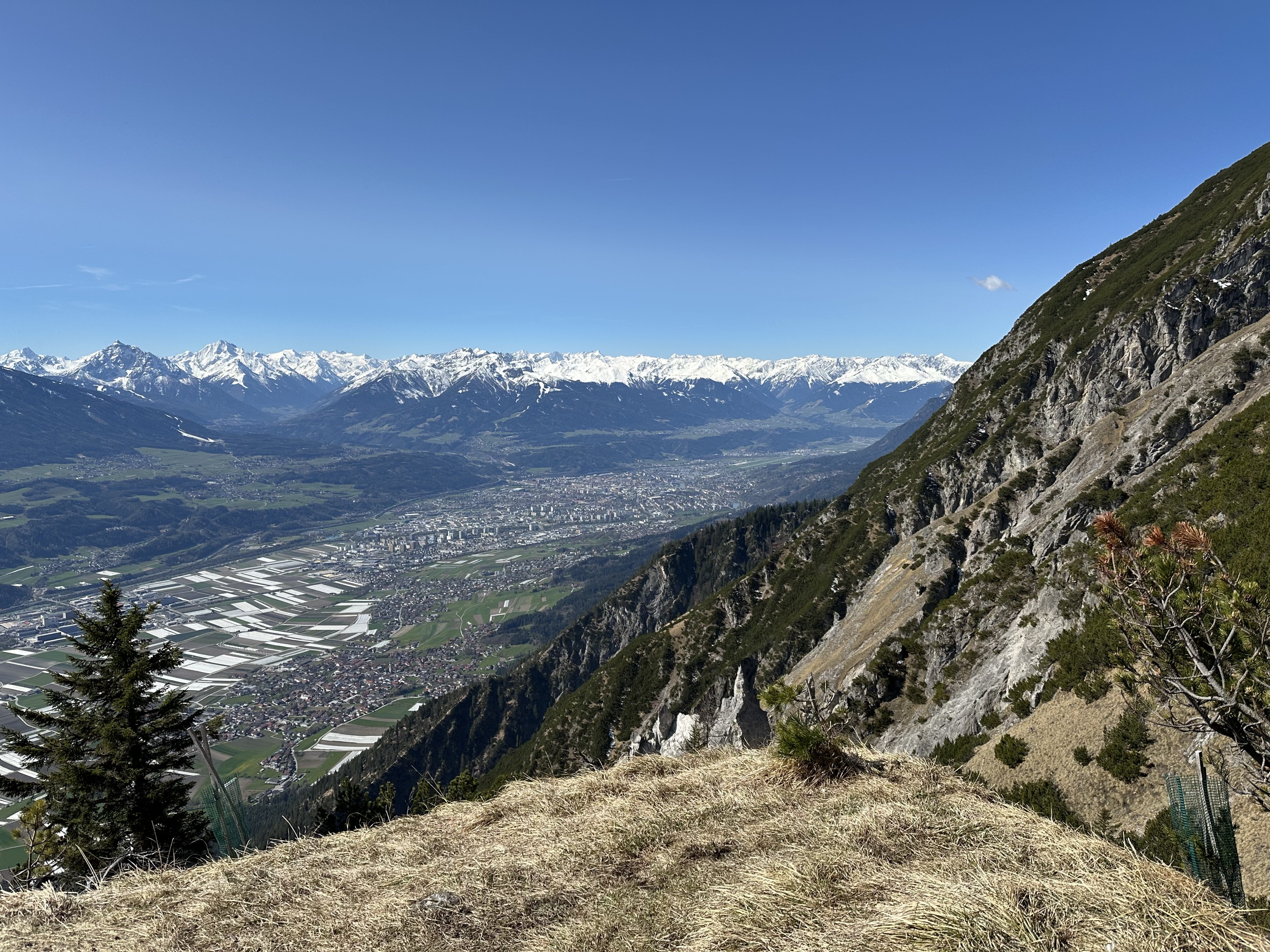
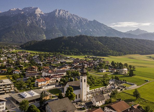
On the sunny terrace of the Unterinntal just east of Hall in Tirol at about 600 m, with the Bettelwurf and the Karwendel wall rising behind.
- 15Highlights
- 21Routes
- Featured summit · Hochmahdkopf
Highlights
All 15 from neighbouring places
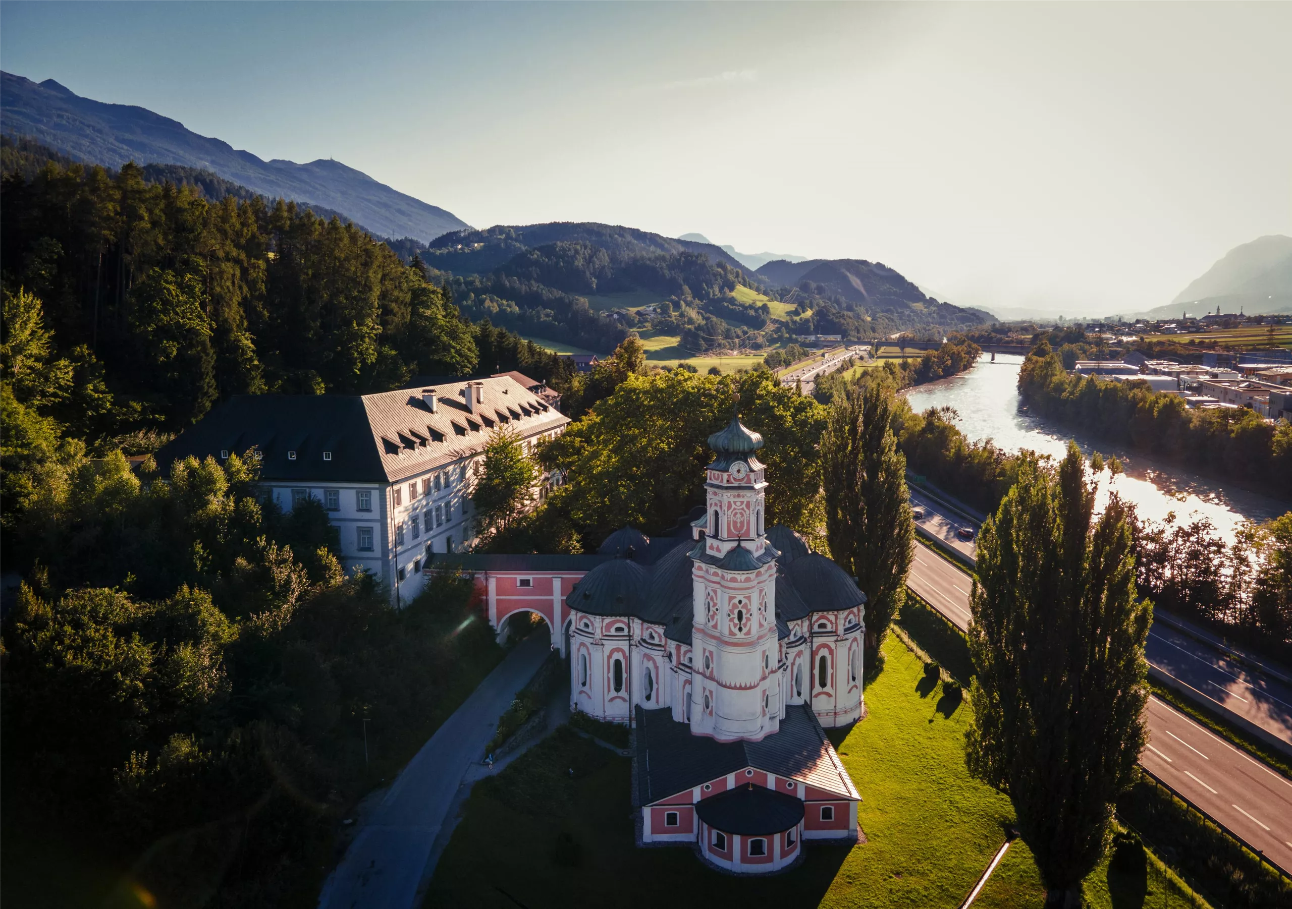
Karlskirche
1.6 km away, in Volders
A 17th-century pilgrimage church at Volders beside the Inn, dedicated to St Charles Borromeo and known for its unusual round baroque plan.
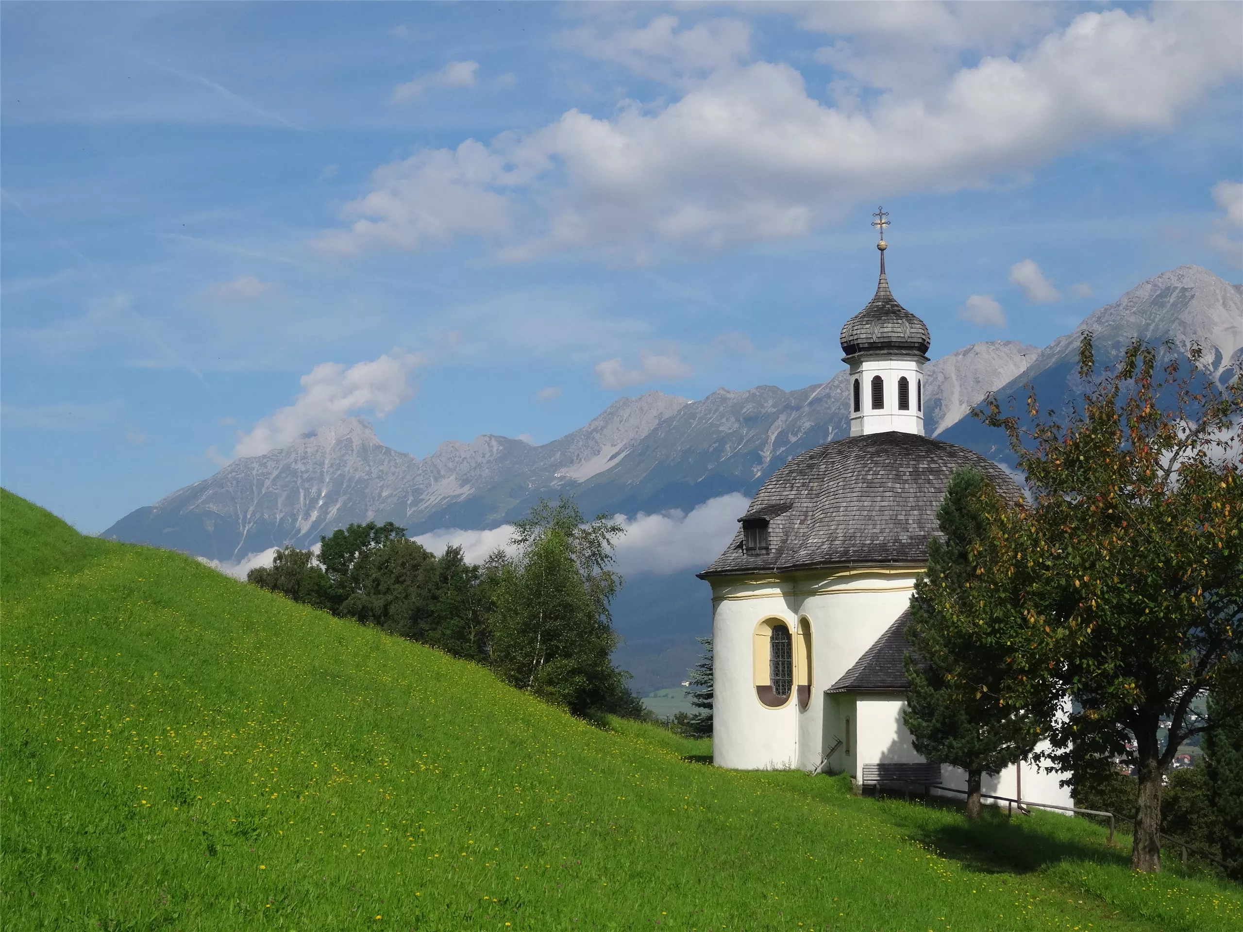
Borgiaskapelle
2.1 km away, in Tulfes
A small chapel near Tulfes dedicated to St Francis Borgia, a quiet wayside landmark on paths around the village.
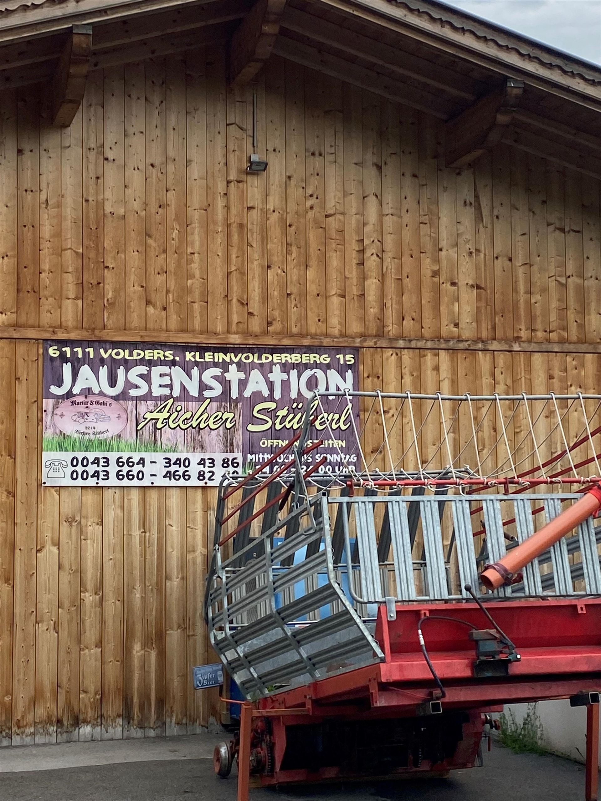
Jausenstation Aicherstüberl
2.3 km away, in Volders
A snack station above Volders serving cold platters and home cooking to walkers on the low paths between the Inn valley villages.
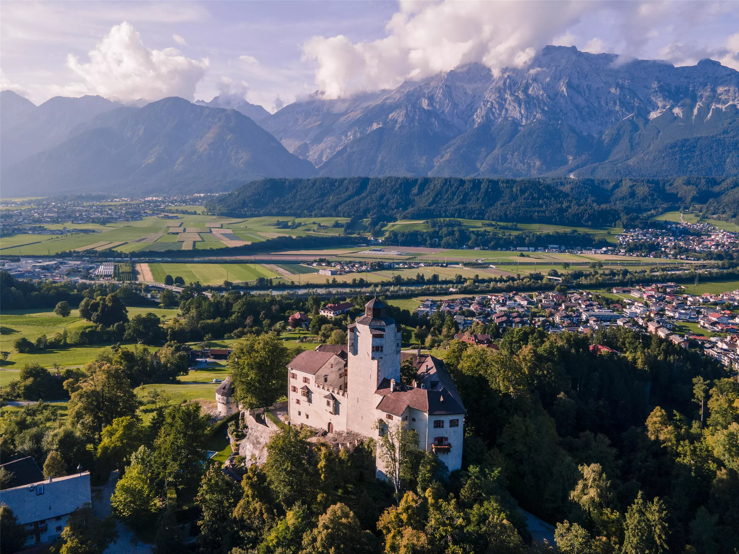
Schloss Friedberg
2.3 km away, in Volders
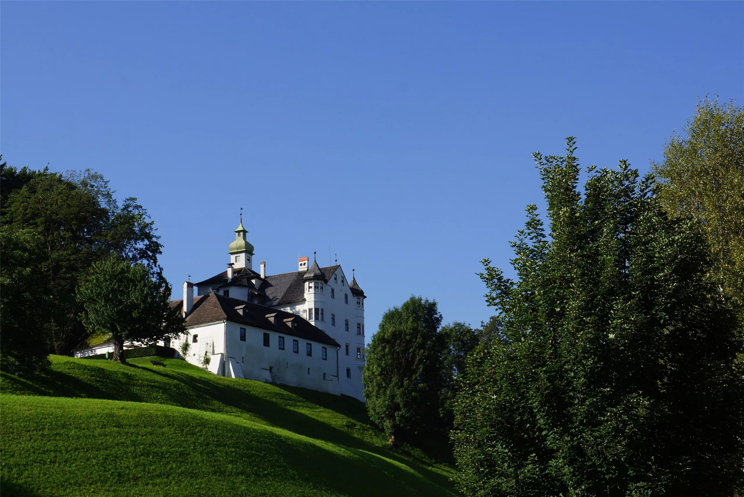
A medieval hilltop castle above Volders in the Inn valley, in private hands for centuries and occasionally opened for guided visits.
Jesuitenkirche
2.5 km away, in Hall in Tirol
The church of the former Jesuit college in Hall in Tirol, an early baroque building set among the lanes of the old town.
Herz Jesu Kloster
2.5 km away, in Hall in Tirol
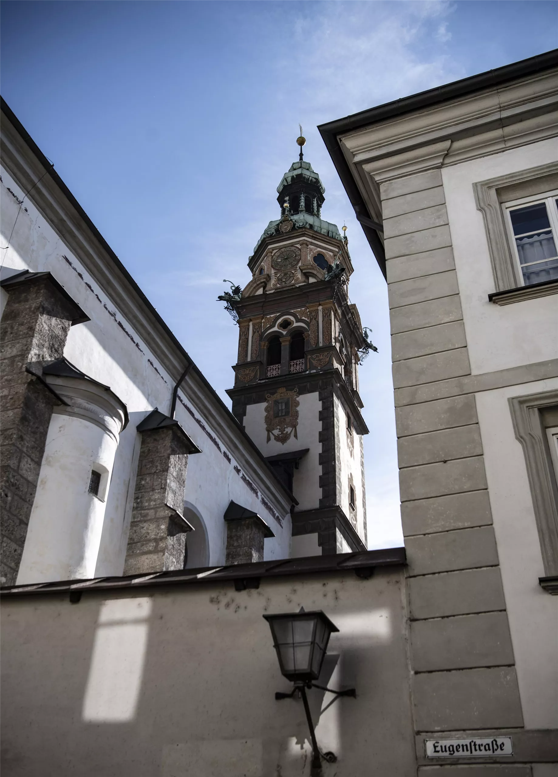
A convent church in Hall in Tirol dedicated to the Sacred Heart, holding basilica rank and still home to a religious community.
Bergbaumuseum Hall in Tirol
2.6 km away, in Hall in Tirol
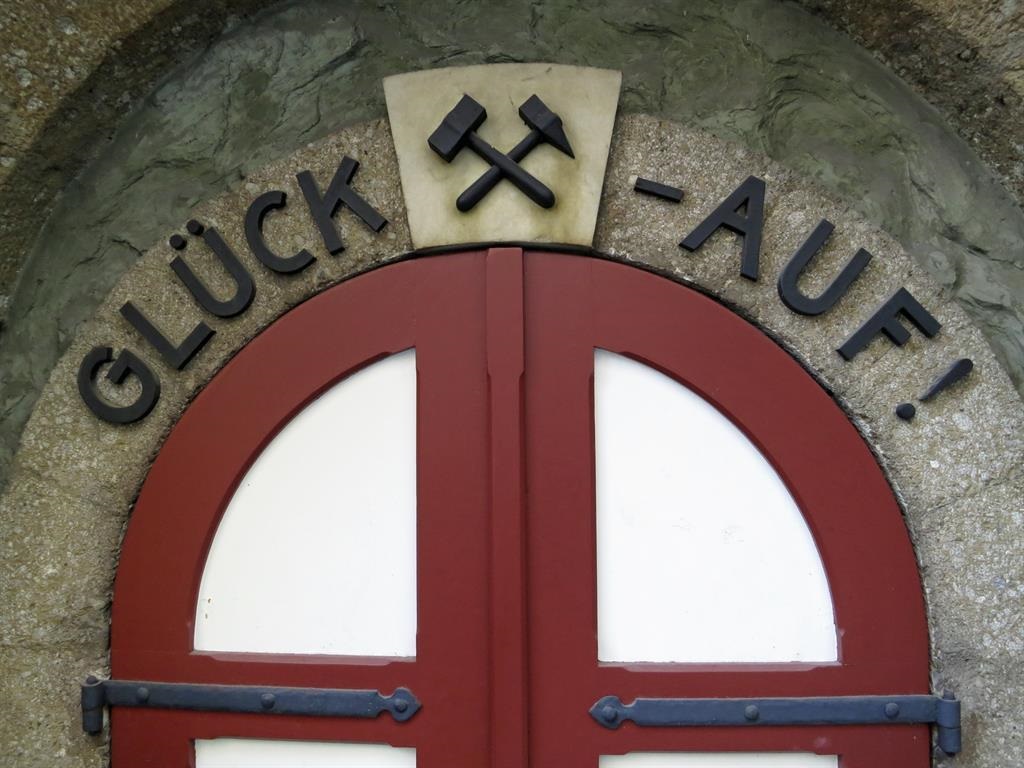
A museum in Hall in Tirol on the salt mining of the Halltal, with a reconstructed mine gallery showing how the town's wealth was dug from the mountain.
Schloss Aschach
2.6 km away, in Volders
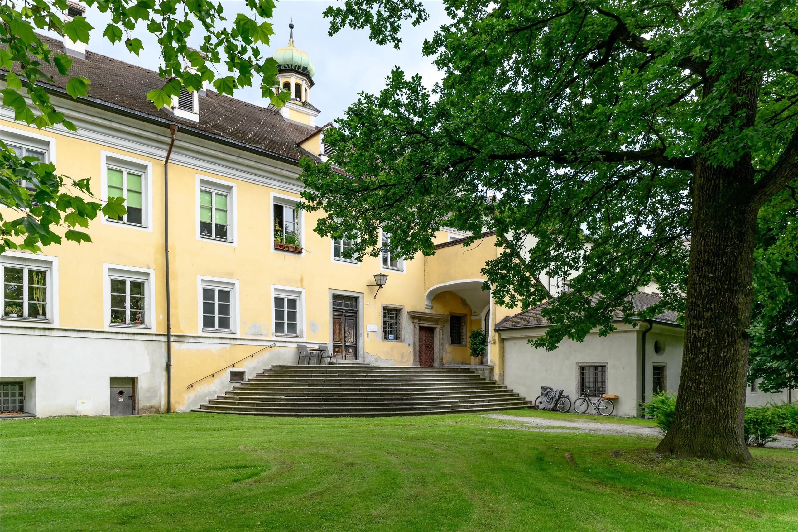
A castle at Volders in the Tyrolean Inn valley, one of a cluster of historic noble seats between Hall in Tirol and Wattens.
Matschgerermuseum Absam
2.7 km away, in Absam
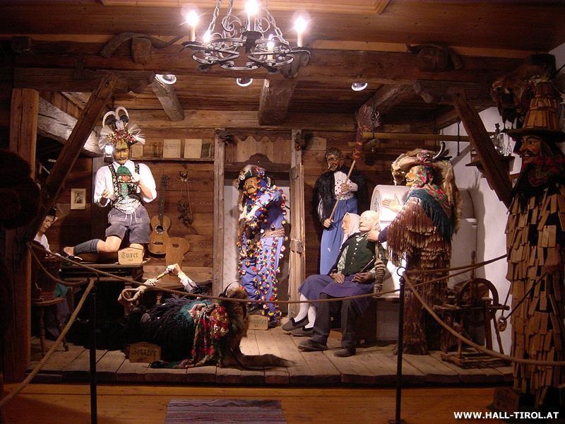
A museum in Absam on the Matschgerer, the village's traditional carnival figures, showing their carved wooden masks and costumes.
Pfarrkirche St. Nikolaus
2.7 km away, in Hall in Tirol
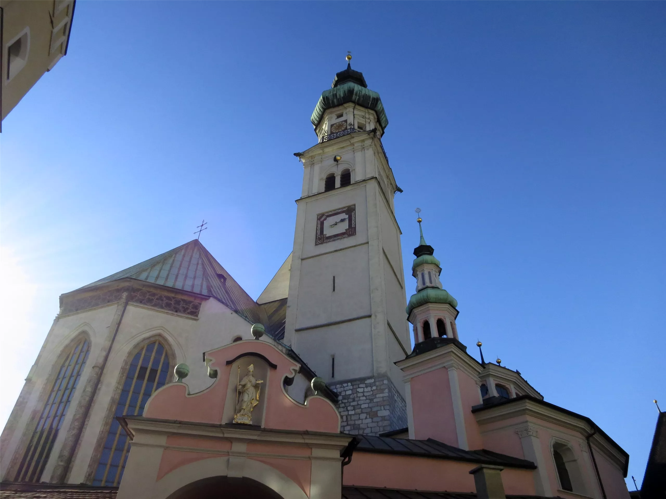
The Gothic parish church of Hall in Tirol, dedicated to St Nicholas, whose broad nave anchors the upper square of the medieval old town.
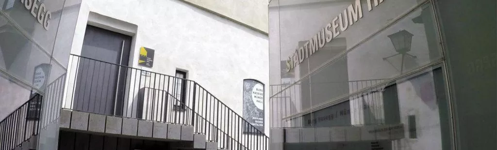
Burg Hasegg & Museum Münze Hall
2.7 km away, in Hall in Tirol
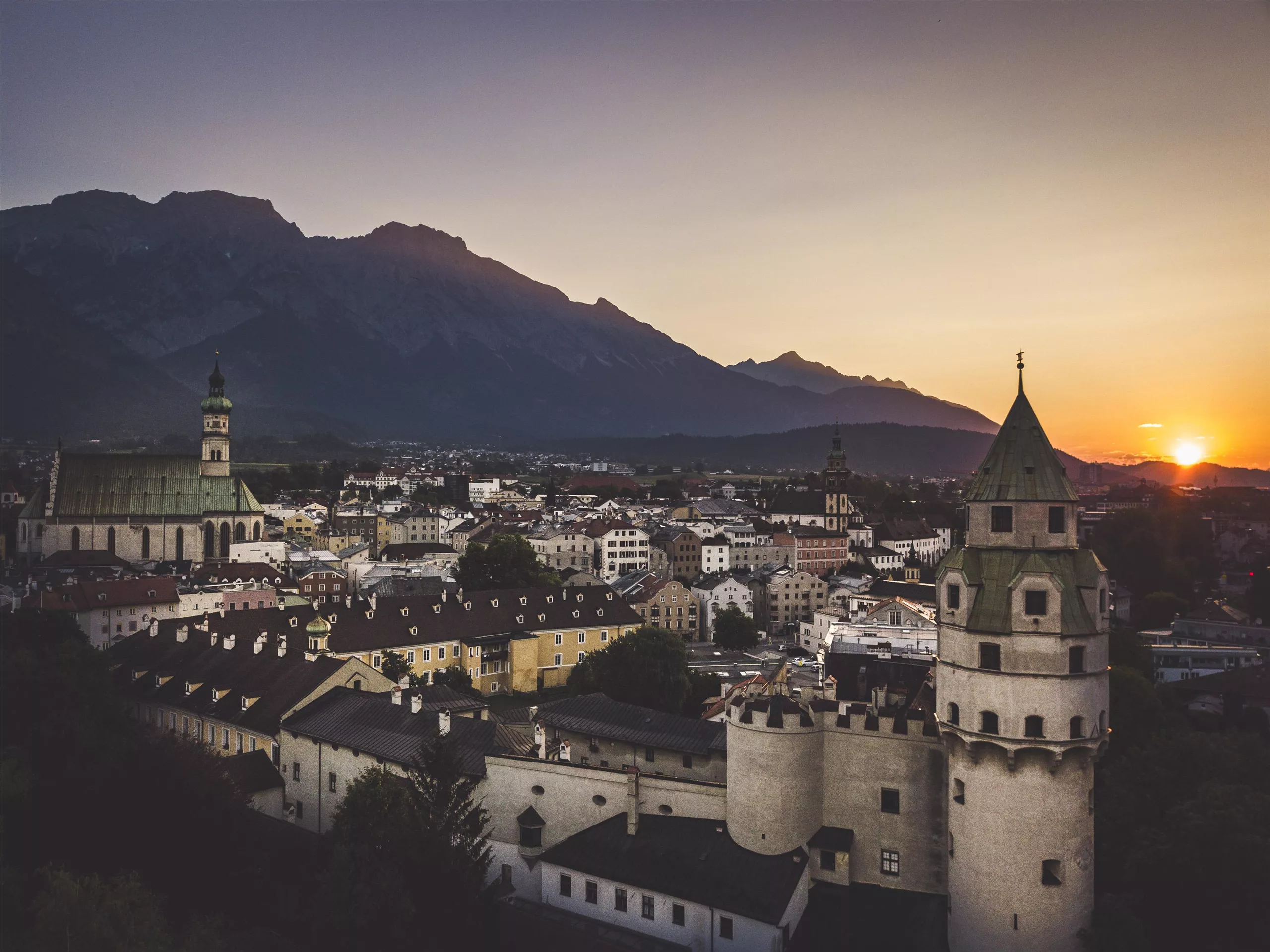
The mint castle of Hall in Tirol, where silver thalers were struck from the late 15th century; the museum demonstrates historic coining presses beneath the Münzerturm tower.
Johanneskirche
2.7 km away, in Hall in Tirol
A church dedicated to St John within the old town of Hall in Tirol, one of several historic churches a few steps from the main square.
Klocker Museum
2.8 km away, in Hall in Tirol
A private museum in the old town of Hall in Tirol, showing changing exhibitions drawn from an art collection built up over decades.
Stadtmuseum Hall
2.8 km away, in Hall in Tirol
The town museum of Hall in Tirol, presenting the salt town's history from medieval trade and minting to everyday life in the old lanes.
Münze Hall
2.8 km away, in Hall in Tirol
A museum in the mint of Hall in Tirol, where large silver coins ancestral to the taler were struck from the late 15th century.
Nothing of this kind in Mils.
Routes
Gnadenwaldrunde leichte Nordic Walking Runde in Gnadenwald, Tirol
A gently graded Nordic-walking loop on the Gnadenwald terrace, running mostly through mixed woodland above the Inn valley.
- 6.8 km
- Distance
- 162 m
- Ascent
- 1 h 59 min
- Duration
Durch das Halltal zum Kleinod Issanger
Up the Halltal past St. Magdalena and the old salt-mining buildings to the Issanger meadows below the Issjöchl, some 900 m of climbing in all.
- 13.7 km
- Distance
- 893 m
- Ascent
- 6 h 3 min
- Duration
- 27
- Check-ins
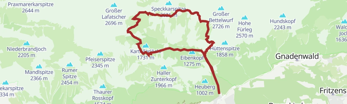
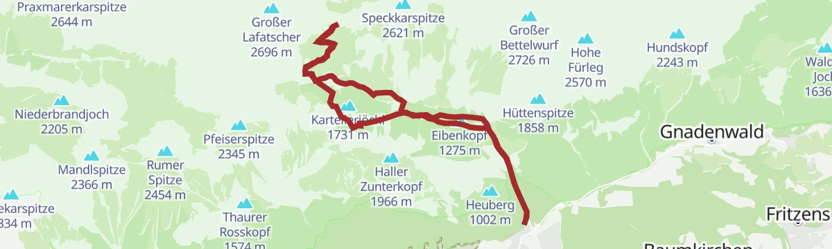
Zur Bettelwurfhütte über das Lafatscherjoch
Nearly 1,500 m of climbing through the Halltal and over the Lafatscher Joch to the Bettelwurfhütte, high in the Karwendel above Absam.
- 18.3 km
- Distance
- 1 472 m
- Ascent
- 9 h 29 min
- Duration
- 50
- Check-ins
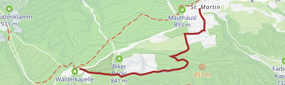
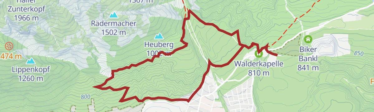
Der Neissweg MTB Route 5084 - Verbindung Bogner Aste nach Gnadenwald
A short connector at around 800 m between the Bogner Aste and Gnadenwald, passing the Walderkapelle above the Inn valley.
- 3.5 km
- Distance
- 103 m
- Ascent
- 23 min
- Duration
- 2
- Check-ins
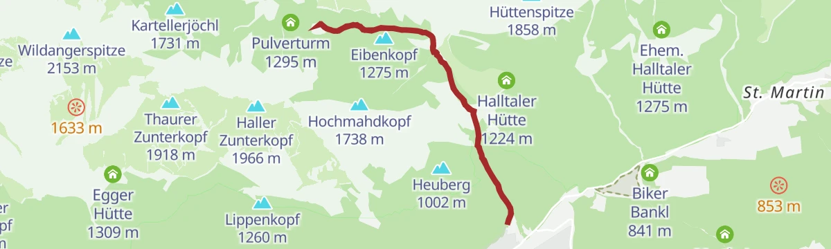
Tour Herrenhäuser MTB Tour 5000
A climb into the Halltal past the Ladhütten and the cableway to the Bettelwurfhütte, topping out near the Knappenhäusl at 1,490 m.
- 5.3 km
- Distance
- 716 m
- Ascent
- 1 h 5 min
- Duration
- 17
- Check-ins
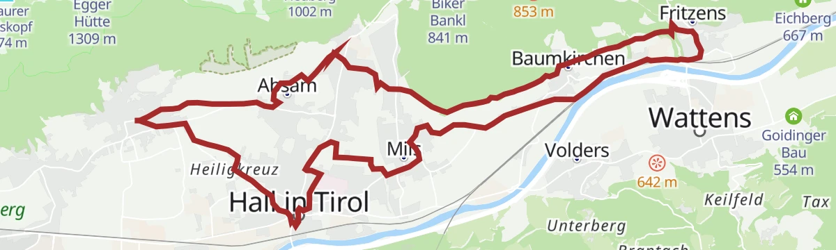
Kulinarische Radtour. Durch die Region
An easy-going tour through the Hall-Wattens region, linking the villages of the lower Inn valley between Fritzens and Wattens.
- 26.4 km
- Distance
- 315 m
- Ascent
- 2 h 38 min
- Duration
- 3
- Check-ins
Rennrad 17 Highway to Höll - auf den Spuren der Rad WM 2018
A long ride on the roads of the 2018 world championships, out along the Inn valley and up to the Hungerburg terrace above Innsbruck.
- 110.0 km
- Distance
- 1 100 m
- Ascent
- 10 h 47 min
- Duration
- 42
- Check-ins
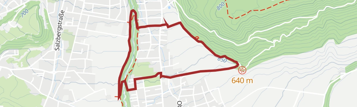
Haslachrunde mittelschwere Nordic Walking Runde in Mils, Tirol
A four-kilometre training loop at Mils for runners and Nordic walkers, with a little over 100 m of climbing past the Untritt reservoir.
- 4.1 km
- Distance
- 92 m
- Ascent
- 1 h 11 min
- Duration
 Hochbehälter Untritt 695 m
Zum Alpengasthaus St. Magdalena im Halltal
A climb through the Halltal on the Fluchtsteig to the inn at St. Magdalena, some 500 m above the valley entrance, past the two Ladhütten.
- 7.2 km
- Distance
- 509 m
- Ascent
- 3 h 22 min
- Duration
- 16
- Check-ins
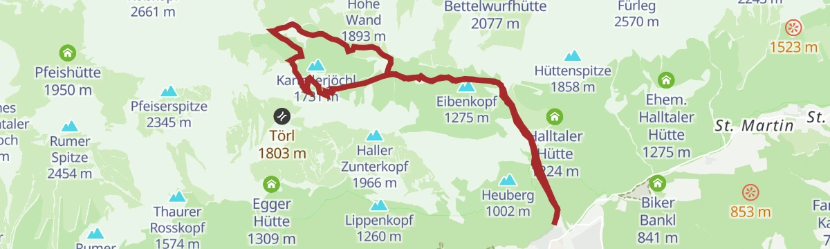
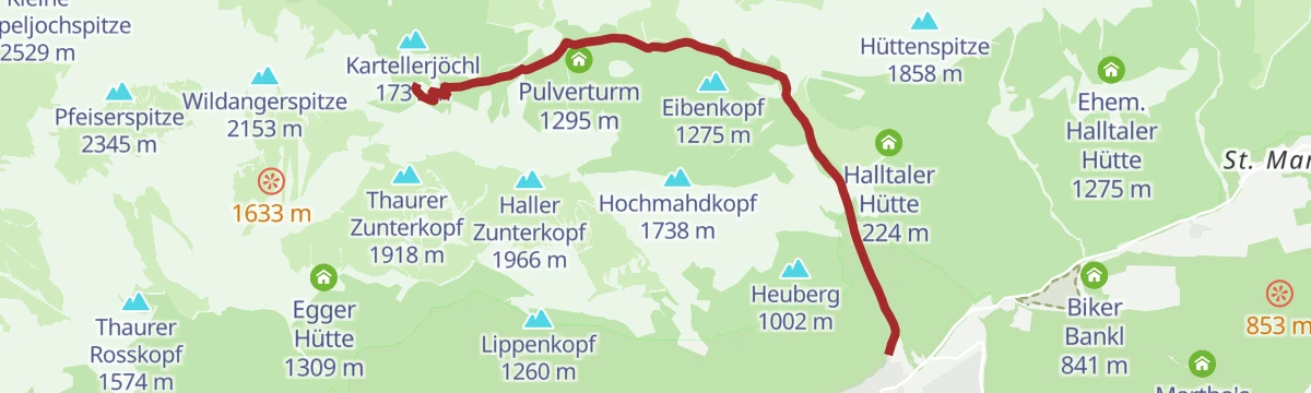
Durch das Halltal auf das Lafatscherjoch
A long day up the rough Halltal to the Lafatscher Joch, taking in the Eibenkopf and the old Knappenhäusl, with 1,365 m of climbing.
- 17.5 km
- Distance
- 1 351 m
- Ascent
- 8 h 46 min
- Duration
- 33
- Check-ins
Silberrunde mittelschwere Rennradtour durch Tirol
A tour along the Inn valley floor from Hall in Tirol out past Terfens and Pill, with barely 220 m of climbing in more than 40 km.
- 41.8 km
- Distance
- 183 m
- Ascent
- 3 h 53 min
- Duration
- 3
- Check-ins
Innsbruck - Hinterhornalm
A road climb from Innsbruck's old town up the toll road above Thaur to the Hinterhorn Alm at 1,522 m, and the same way back.
- 41.5 km
- Distance
- 1 168 m
- Ascent
- 4 h 47 min
- Duration
- 21
- Check-ins
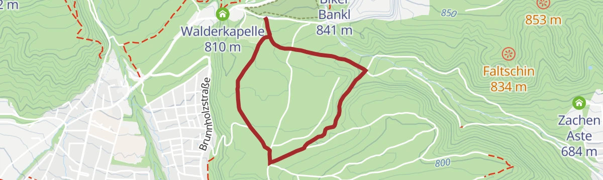
Laufrunde Bogner Aste
A short, shaded running loop of under three kilometres in the Milser woods at Bogner Aste.
- 2.8 km
- Distance
- 51 m
- Ascent
- 47 min
- Duration
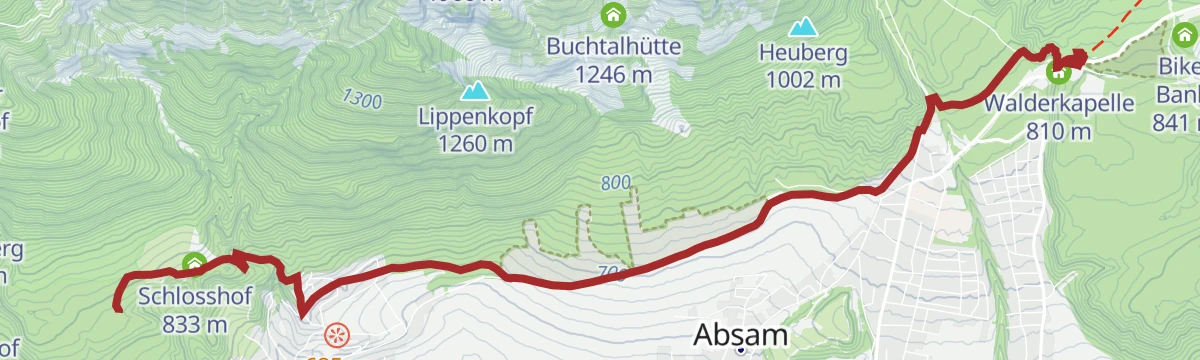
Verbindungsstrecke Bogner Aste - Thaur
A well-used link along the Adolf-Pichler-Weg from Bogner Aste to Thaur, passing the Walderkapelle on the wooded terrace above the Inn.
- 7.4 km
- Distance
- 198 m
- Ascent
- 2 h 11 min
- Duration
- 3
- Check-ins
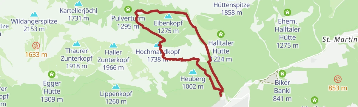
Auf den aussichtsreichen Hochmahdkopf
A steep 960 m pull from the Halltal to the Hochmahdkopf and on over the Rädermacher, with the Absamer Rodelhütte on the way.
- 8.1 km
- Distance
- 986 m
- Ascent
- 5 h 51 min
- Duration
- 29
- Check-ins
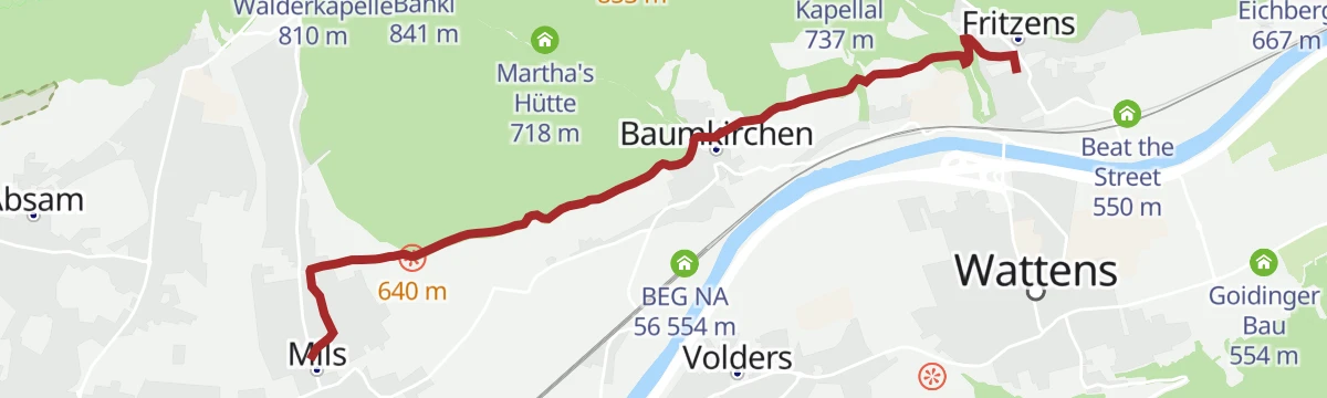
Von Mils über Baumkirchen nach Fritzens
An almost flat village-to-village walk across the Inn valley terrace, linking Mils, Baumkirchen and Fritzens in about six kilometres.
- 6.3 km
- Distance
- 72 m
- Ascent
- 1 h 40 min
- Duration
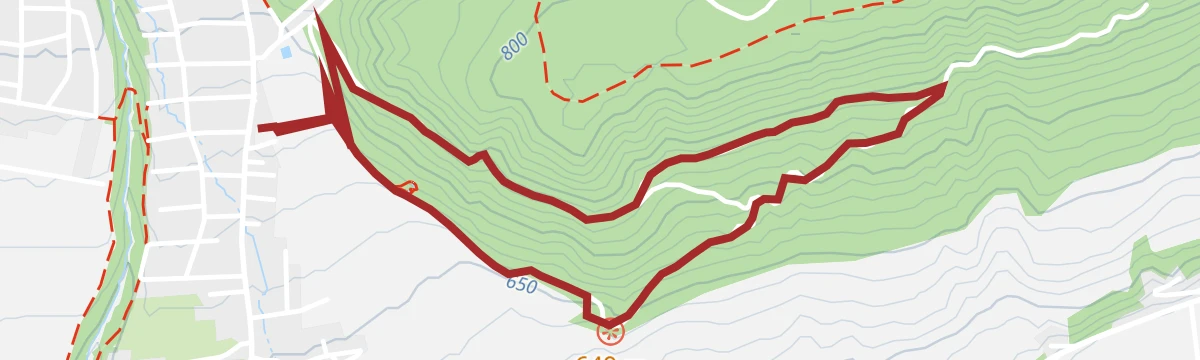
Baumkirchner Tal leichte Wanderung zwischen Mils und Baumkirchen, Tirol
A round of 8.4 km through the Baumkirchner Tal, passing the Walderkapelle and the Untritt reservoir on the slopes above the Inn.
- 8.4 km
- Distance
- 214 m
- Ascent
- 2 h 30 min
- Duration
- 2
- Check-ins
 Walderkapelle 810 m
- Hochbehälter Untritt 695 m
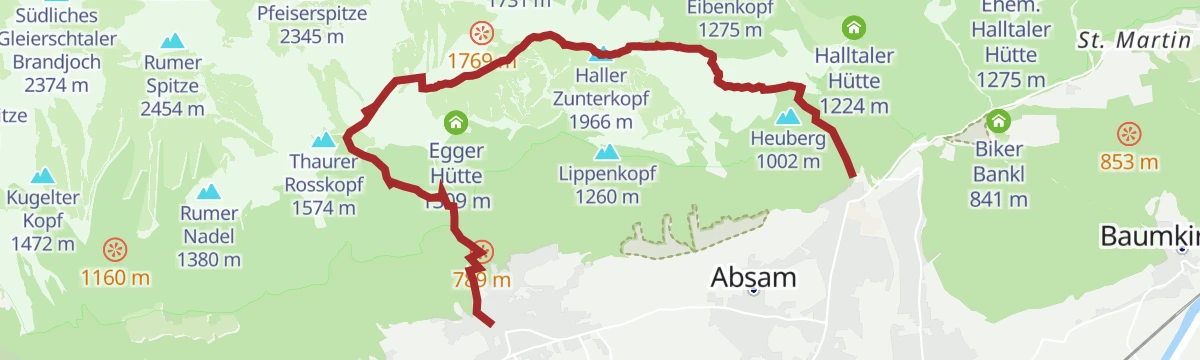
Vom Halltal über die 3 Zunterköpfe zur Kaisersäule
From the mouth of the Halltal over the three Zunterköpfe to the Kaisersäule, more than 1,200 m of climbing with the Thaurer Alm on the way.
- 12.0 km
- Distance
- 1 252 m
- Ascent
- 7 h 55 min
- Duration
- 20
- Check-ins
Weissenbachrunde leichte Nordic Walking Runde bei Mils, Tirol
A beginners' Nordic-walking loop from Mils toward Baumkirchen, returning beside the Weissenbach with under 70 m of climbing.
- 3.5 km
- Distance
- 55 m
- Ascent
- 57 min
- Duration
Runstbodenrunde mittelschwere Nordic Walking Runde in Absam, Tirol
A Nordic-walking round out of Absam that takes in a stretch of the Halltal and the Walderkapelle, with just over 300 m of climbing.
- 7.3 km
- Distance
- 215 m
- Ascent
- 2 h 15 min
- Duration
- 2
- Check-ins
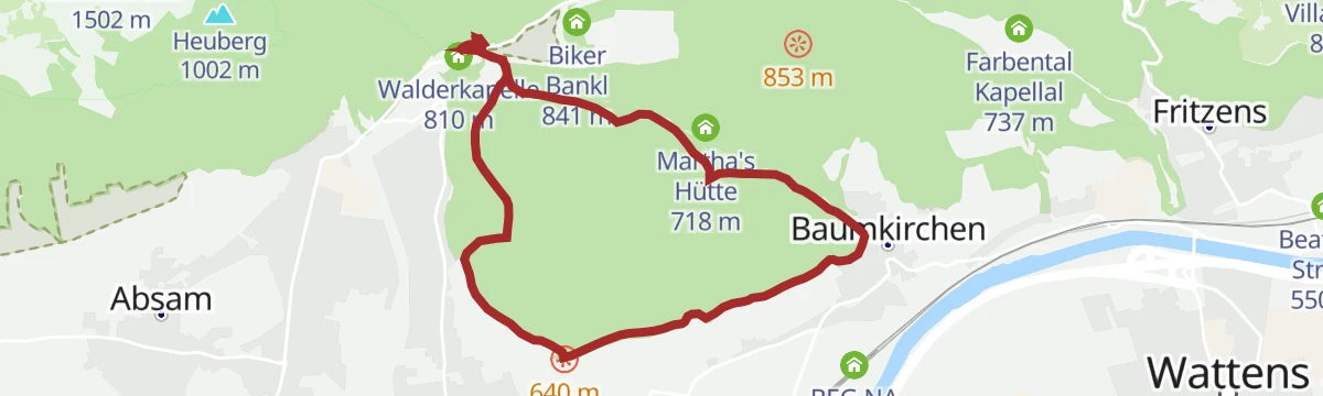
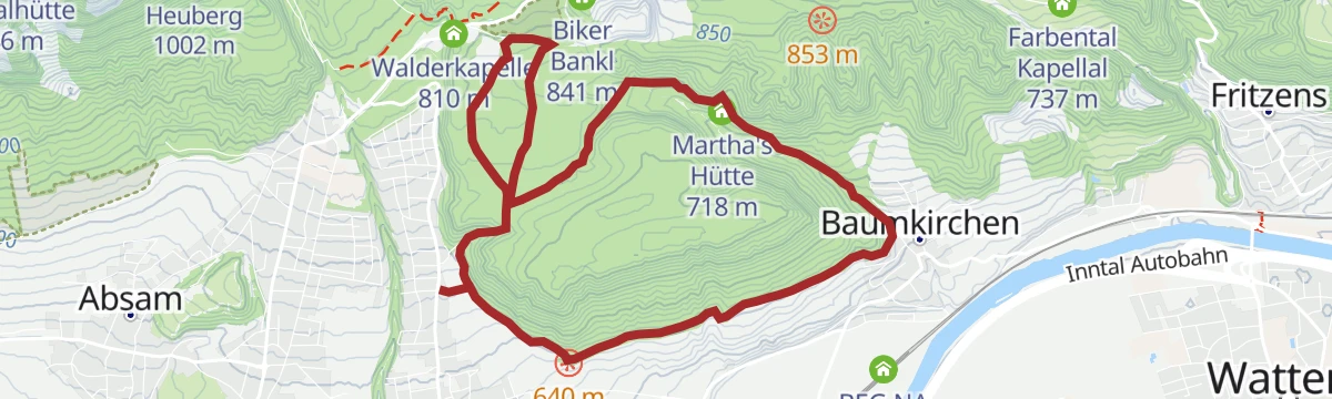
Baumkirchner Waldrunde
A woodland round joining Mils with Bogner Aste, level at first toward Baumkirchen and then climbing through the Baumkirchner Tal past Martha's Hütte.
- 9.0 km
- Distance
- 224 m
- Ascent
- 2 h 38 min
- Duration
- Martha's Hütte 718 m
- Hochbehälter Untritt 695 m
No routes of this kind in Mils yet.
The region's own picks
Featured route
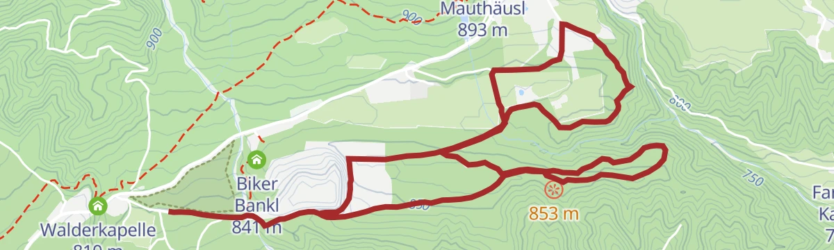
Gnadenwaldrunde leichte Nordic Walking Runde in Gnadenwald, Tirol
A gently graded Nordic-walking loop on the Gnadenwald terrace, running mostly through mixed woodland above the Inn valley.
Planning a trip to Mils?
Everything else Tyrol has, in one place


Take Mils with you into the mountains
Every route on this page with 3D terrain, GPX navigation and offline maps — including the valleys with no signal.
Data sources
- Official website: hall-wattens.at ↗
- Routes and highlights: Region Hall-Wattens, Innsbruck Tourismus, Alpbachtal Tourismus
- Published as open data by the tourist boards named above.
- Region summary generated from the board's own material.
