
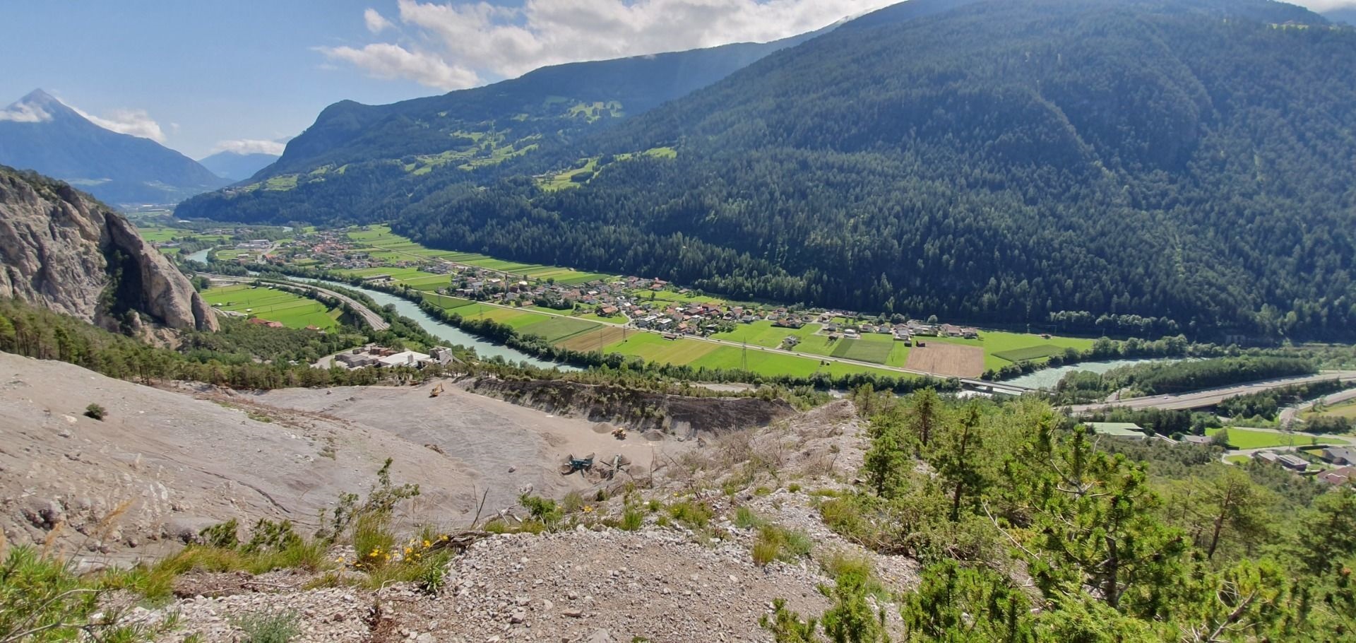
- 15Highlights
- 9Routes
Highlights
All 15 from neighbouring places
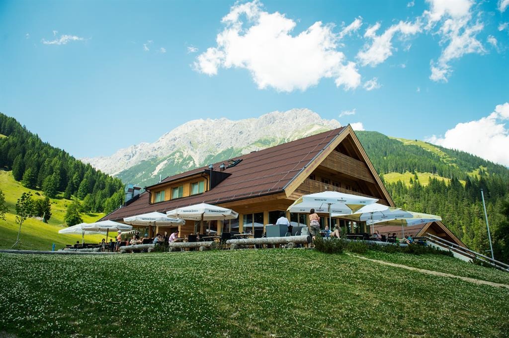
UAlm
4.1 km away, in Imst
An easily reached pasture hut above Imst with a sun terrace, serving hut fare and offering simple overnight accommodation.
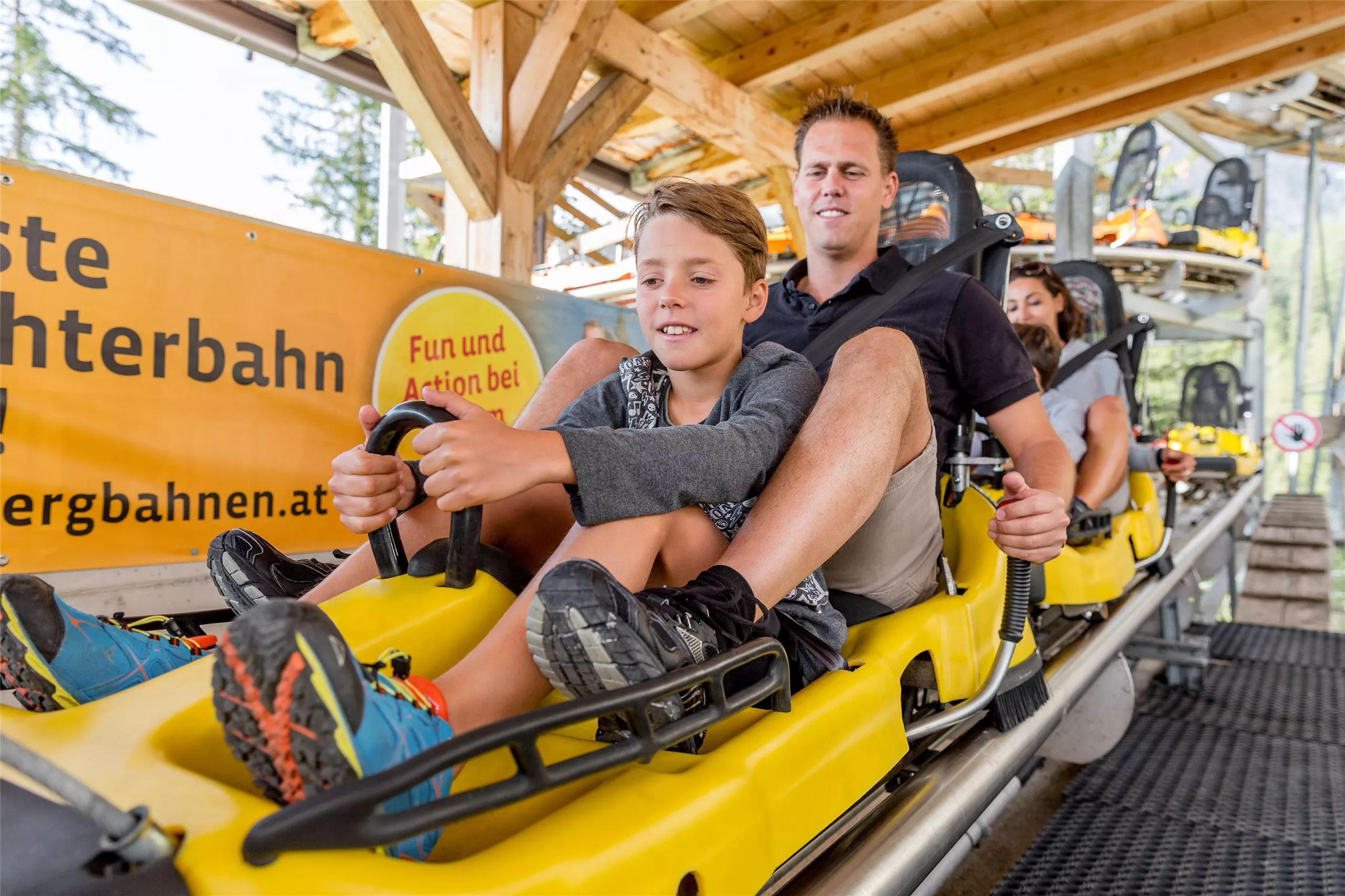
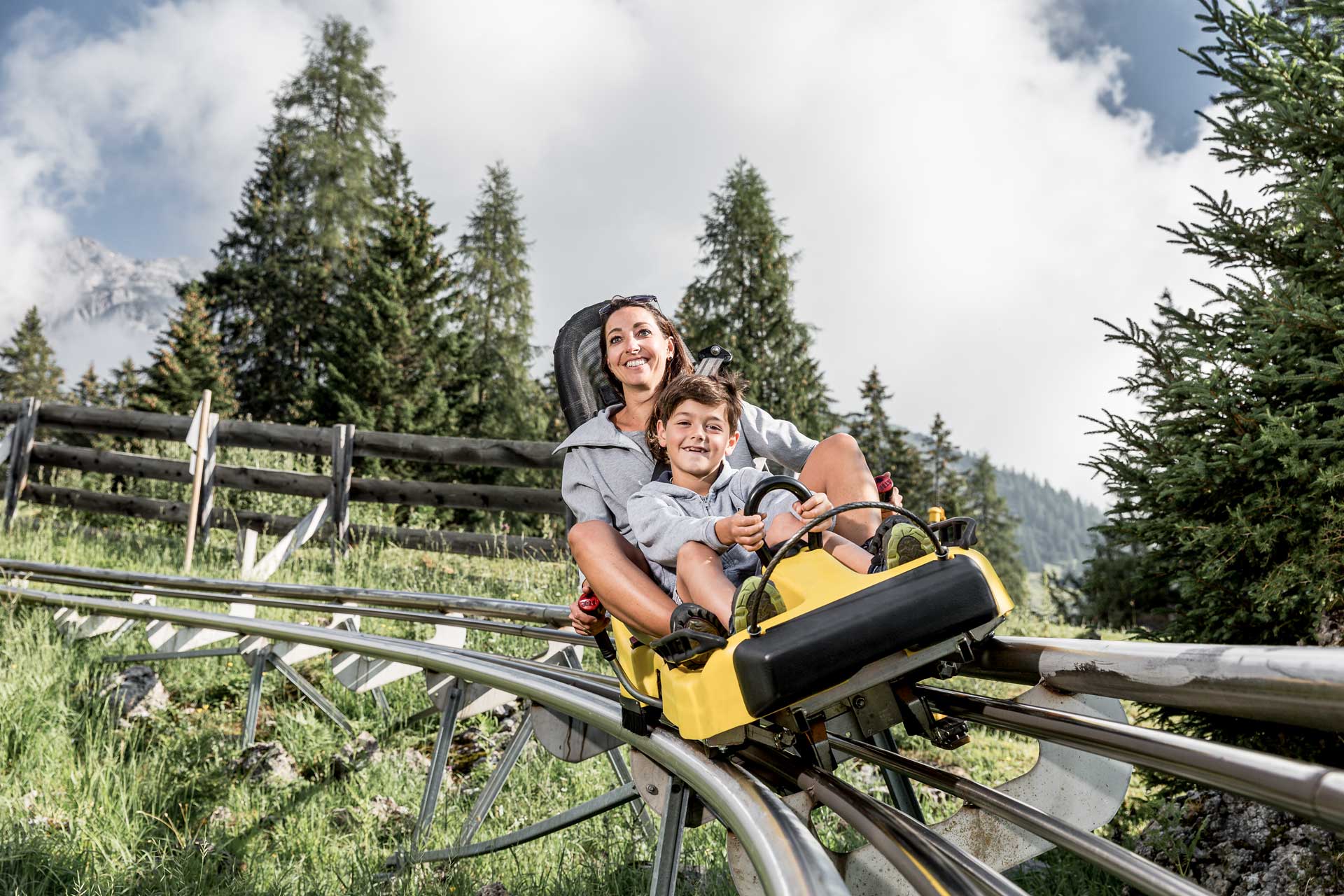
Alpine Coaster
4.7 km away, in Imst
A rail-mounted toboggan run at Hoch-Imst above Imst, open in summer and winter, descending the hillside in long curves.
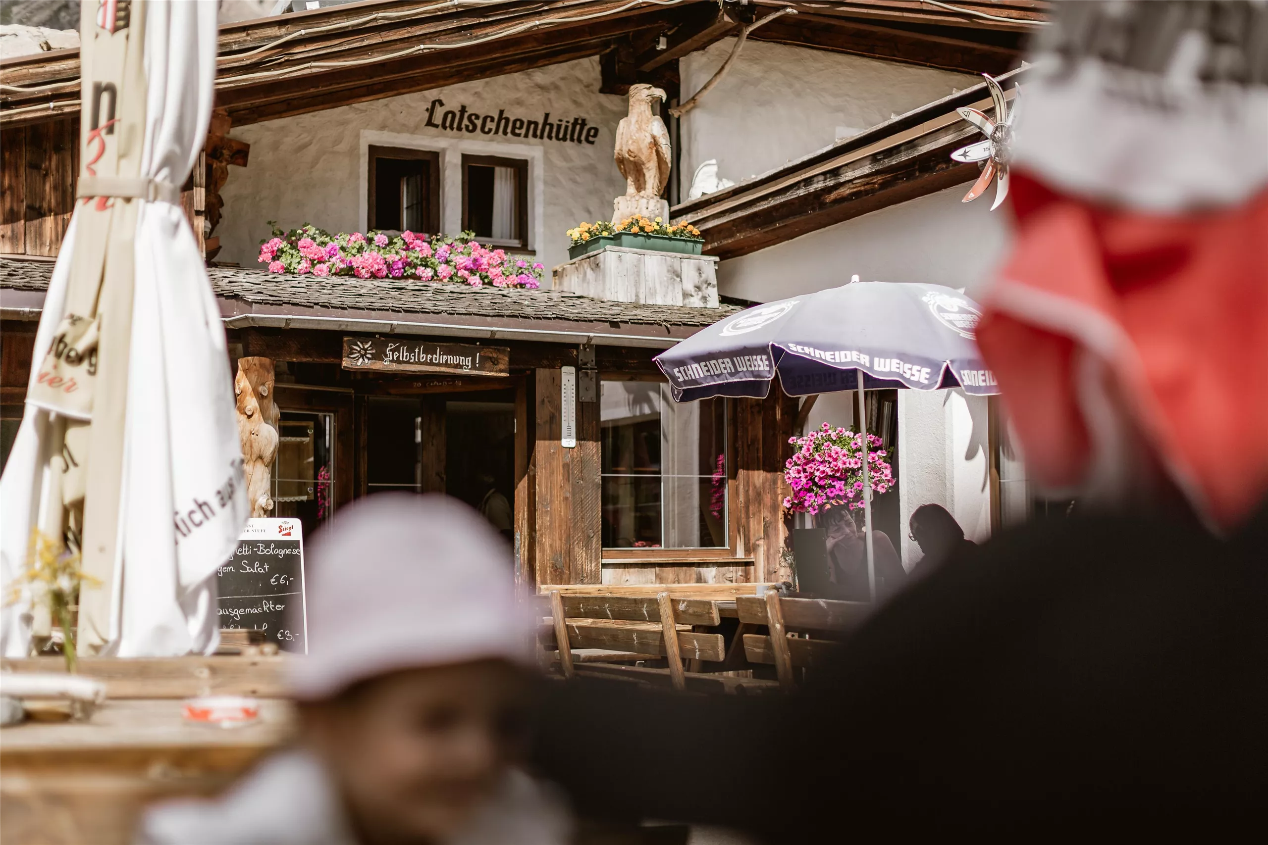
Latschenhütte
4.8 km away, in Imst
A mountain hut in the dwarf-pine zone above Imst (827 m), a stop on walks into the Muttekopf area of the Lechtal Alps.
Alpine Coaster Imst
4.8 km away, in Imst
A rail-mounted toboggan run at Hochimst above Imst, descending the mountainside in banked curves and spirals.
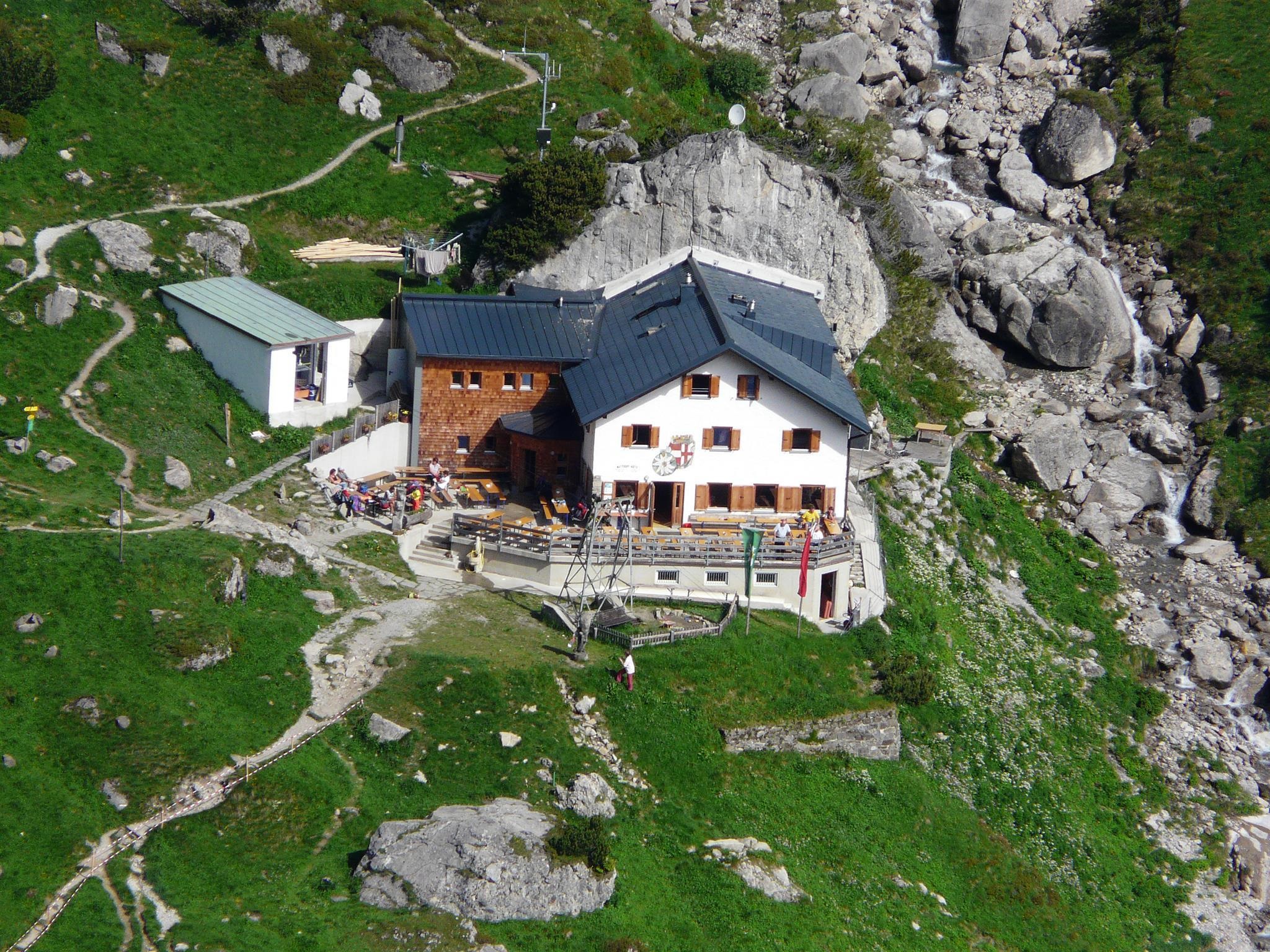
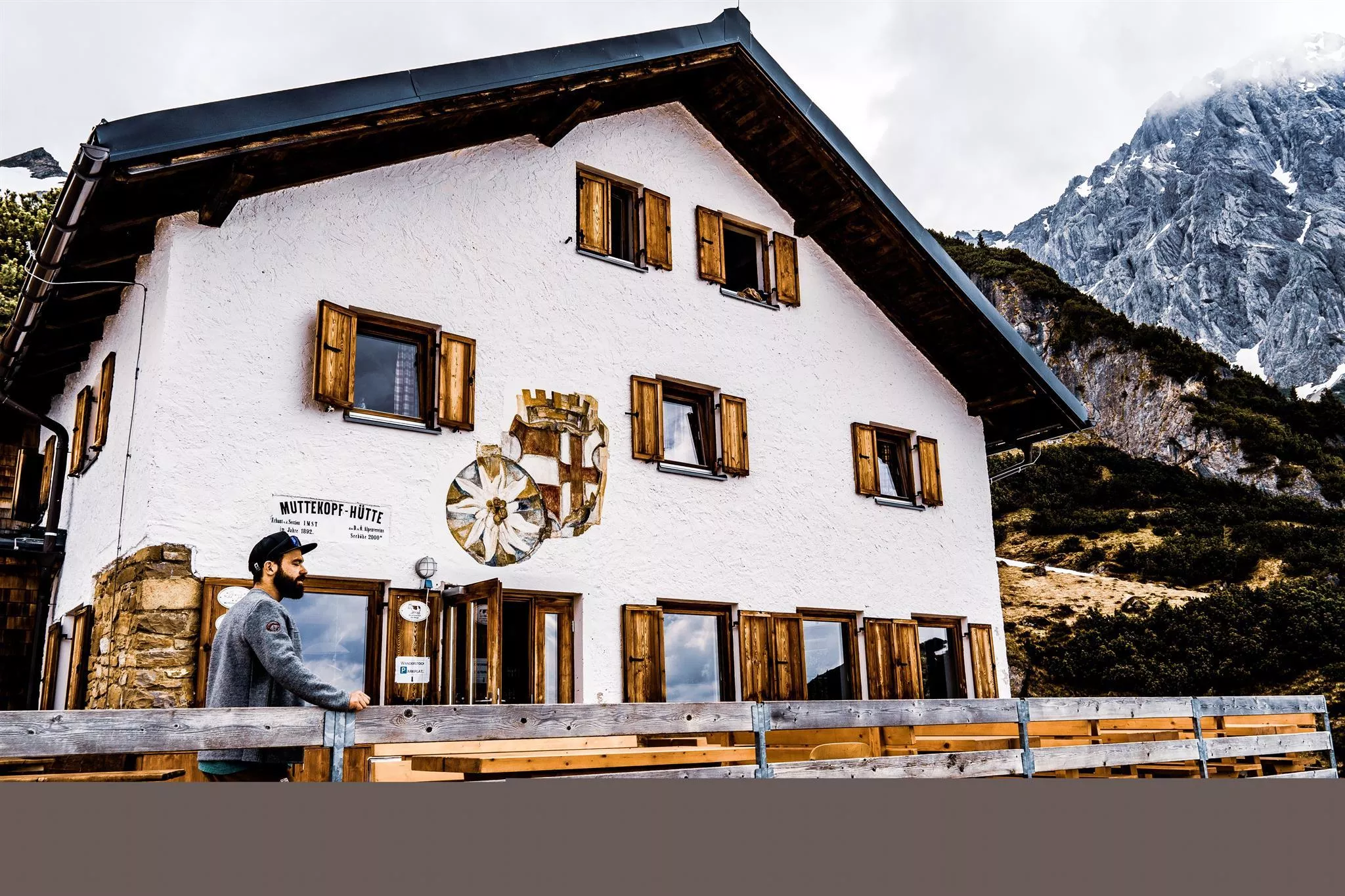
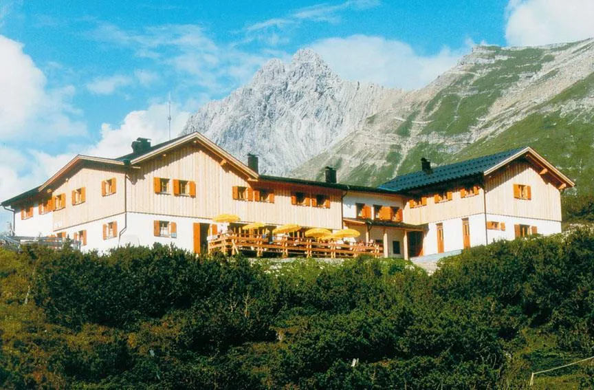
Muttekopfhütte
5.1 km away, in Imst
A mountain hut above Imst below the Muttekopf in the Lechtal Alps, offering meals and overnight beds for climbers and walkers.
Muttekopfhütte 1.934 m
5.1 km away, in Imst
An alpine club refuge at 1,934 m below the Muttekopf, a base for climbing and walking in the reddish rock scenery of the eastern Lechtal Alps.
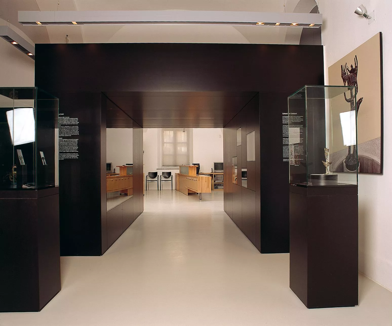
Museum im Ballhaus
5.9 km away, in Imst
The town museum of Imst, housed in the Ballhaus, covering local history from the market town's trades to alpine daily life.
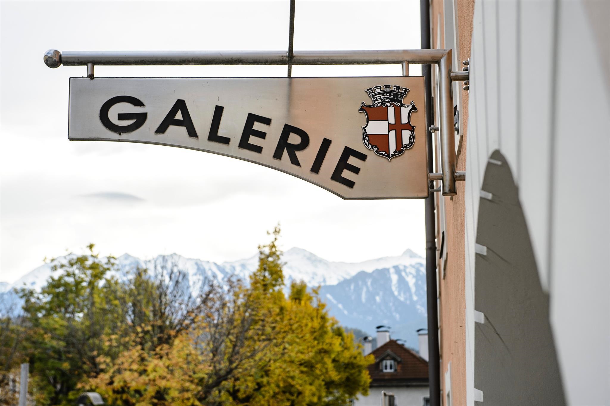
Städtische Galerie Theodor von Hörmann
5.9 km away, in Imst
The municipal gallery of Imst, named after the painter Theodor von Hörmann, born in the town in 1840, with changing exhibitions.
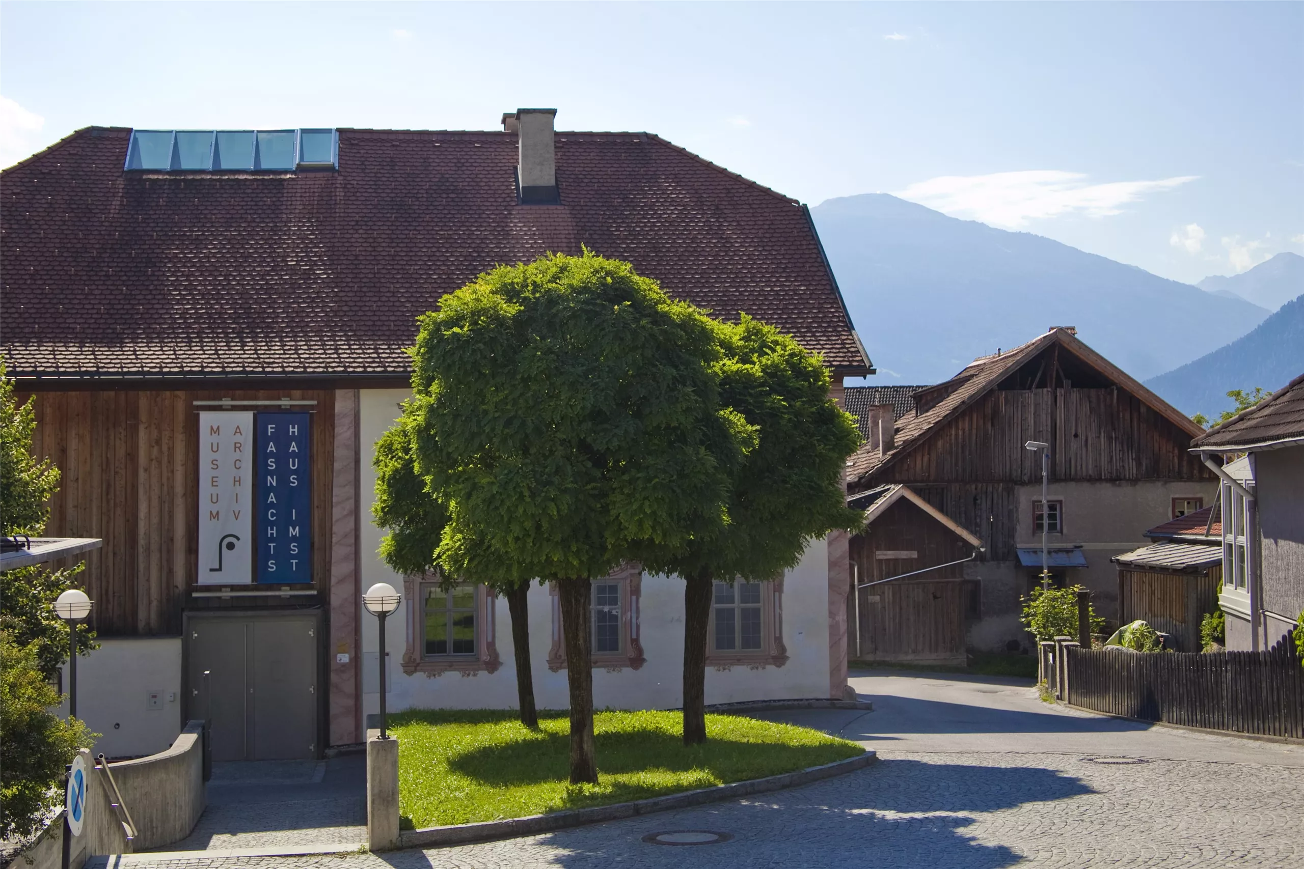
Haus der Fasnacht
6.1 km away, in Imst
A museum in Imst on the town's Schemenlaufen carnival, a masked procession inscribed on UNESCO's intangible cultural heritage list.
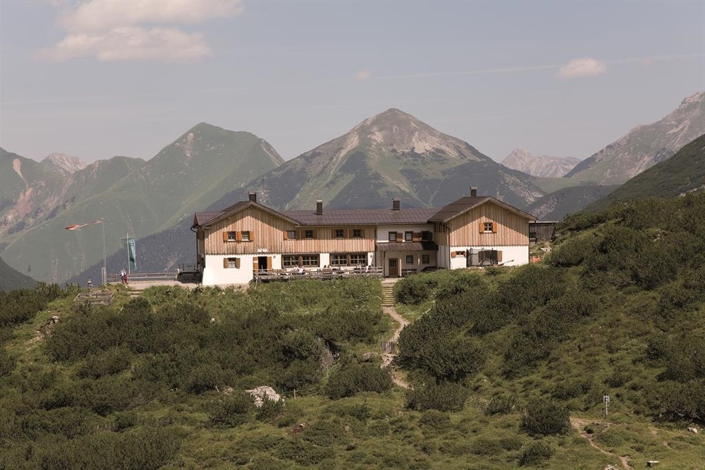
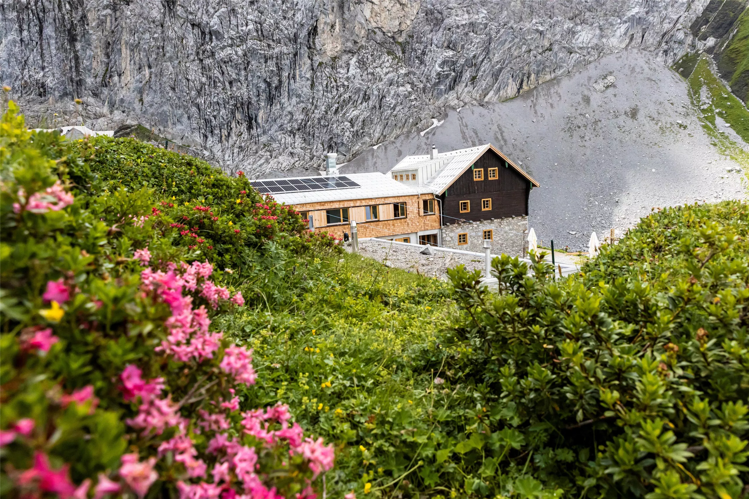
Hanauer Hütte
7.1 km away, in Imst
An alpine club hut in the Lechtal Alps above the Angerletal, a base for walks and climbs among the Dremel and Parzinn peaks.
Hanauer Hütte 1.922 m
7.1 km away, in Imst
An alpine club refuge at 1,922 m above the Pfafflar area, a base for the rock summits and lake basins of the eastern Lechtal Alps.
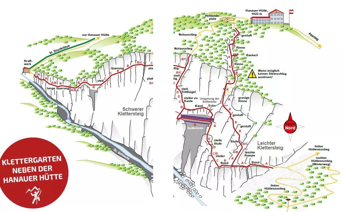
Hanauer Klettersteig 1.770 m
7.1 km away, in Imst
A via ferrata at about 1,770 m near the Hanauer Hütte above Boden in the Bschlabertal, a protected route in the Lechtal Alps.
Klettergarten Hanauer Hütte
7.1 km away, in Imst
A climbing garden beside the Hanauer Hütte in the Lechtal Alps above Pfafflar, with bolted routes a short walk from the hut.
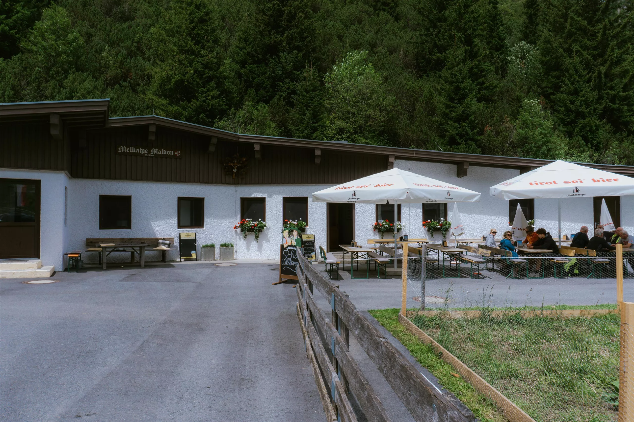
Maldonalm
8.1 km away, in Imst
An alpine pasture hut in the mountains northwest of Imst (827 m), reached on foot from the town and its surrounding valleys.
Anhalter Hütte
9.4 km away, in Imst
An alpine club hut in the Lechtal Alps reached from the Hahntennjoch road near Imst, offering meals and overnight beds.
Nothing of this kind in Mils bei Imst.
Routes
11 from neighbouring places
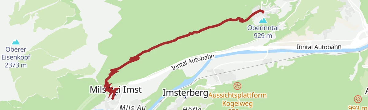
Milsbergsteig
A 6.1 km path from Gunglgrün across the Milsberg to Mils bei Imst, on a mix of panorama tracks and narrow trails.
- 6.1 km
- Distance
- 265 m
- Ascent
- 2 h 24 min
- Duration
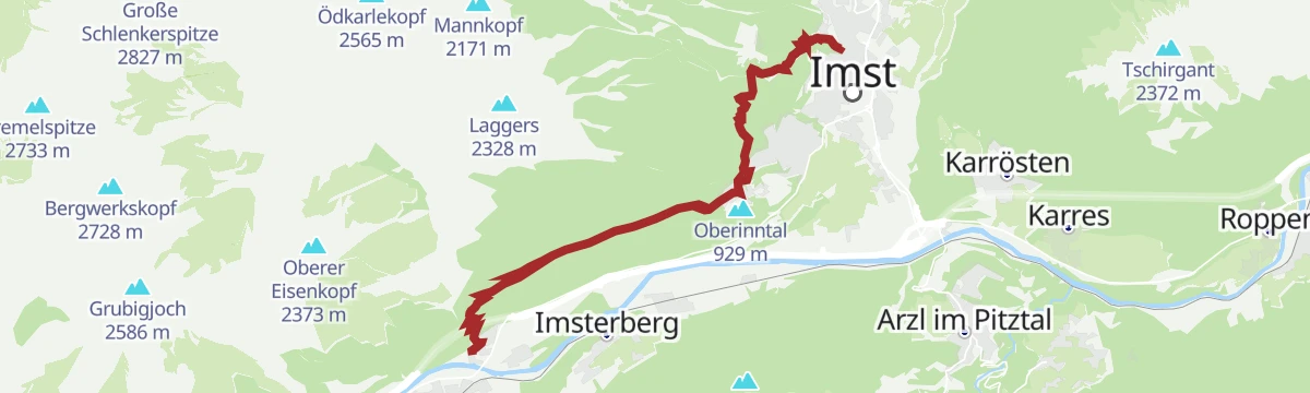
Abschnitt 3: Mils – Imst
A 10.4 km water-themed stage from Mils bei Imst down to Imst, with 463 m of ascent.
- 10.4 km
- Distance
- 653 m
- Ascent
- 4 h 21 min
- Duration
Gravelrunde Venetmassiv
A gravel loop around the Venet massif crossing the Pillerhöhe at 1,559 m, with the Gachenblick and the Gasthof Kronburg on the way back.
- 56.6 km
- Distance
- 1 203 m
- Ascent
- 6 h 11 min
- Duration
- 20
- Check-ins
 Pillerhöhe 1 590 m
 Pillerhöhe 1 559 m
 Gachenblick 1 576 m
- Gasthof Kronburg 938 m
- Info-Point Pitztal 750 m
 Zweiter Weiher 920 m
- +2
Piller Runde
A road loop out of the Pitztal that crosses the Pillerhöhe at 1,559 m, dropping to the Inn valley for the ride home.
- 51.2 km
- Distance
- 1 110 m
- Ascent
- 5 h 35 min
- Duration
- 17
- Check-ins
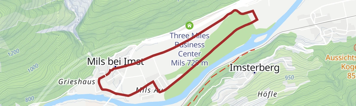
„Hitte-Hatte“ Dorfrunde Mils
A level 4.5 km round through the small village of Mils bei Imst and the meadows around it.
- 4.5 km
- Distance
- 11 m
- Ascent
- 1 h 5 min
- Duration
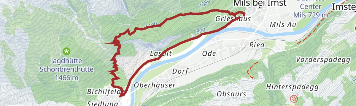
Panoramasteig
A 7.7 km panorama path from Mils bei Imst over to Starkenbach, gaining 502 m.
- 7.7 km
- Distance
- 502 m
- Ascent
- 3 h 24 min
- Duration
Pillerrunde
A big loop through the Inn valley and the Pitztal mouth, climbing over the Pillerhöhe pass before the run back to Imst.
- 65.8 km
- Distance
- 1 587 m
- Ascent
- 7 h 20 min
- Duration
- 11
- Check-ins
Mieminger Plateau Runde
A near-100 km road round out of the Inn valley, climbing to the terrace villages above Mieming and past Gasthaus Arzkasten.
- 97.1 km
- Distance
- 1 138 m
- Ascent
- 9 h 41 min
- Duration
- 12
- Check-ins
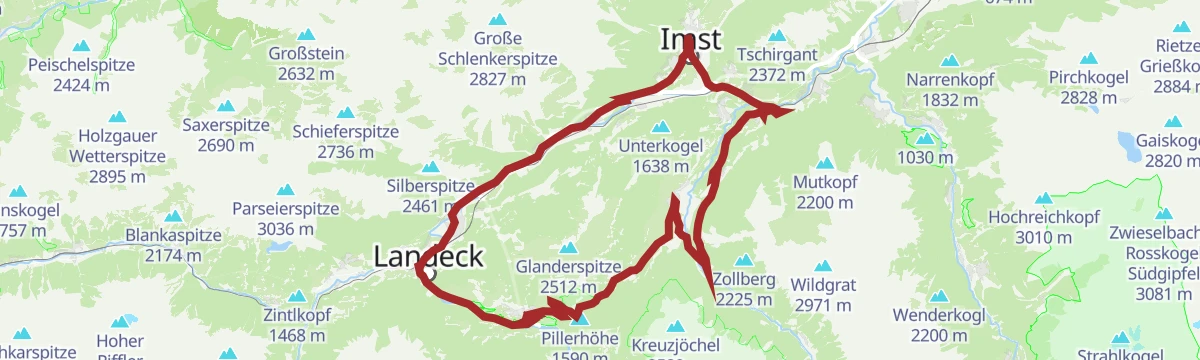
Hoch über Landeck (Tobadill)
A long circuit above the Inn valley between Landeck-Zams and Schönwies, starting from the tourist office in Tirol West.
- 61.1 km
- Distance
- 577 m
- Ascent
- 5 h 58 min
- Duration
- 4
- Check-ins
Imsterberger Venetalm
2.2 km away, in Imsterberg
A demanding 1,099 m climb from Imsterberg up to the Venetalm, with the Gamssteinhütte close by.
- 8.8 km
- Distance
- 1 100 m
- Ascent
- 4 h 27 min
- Duration
- 5
- Check-ins
Venetalm
2.6 km away, in Imsterberg
A 919 m snowshoe climb over snow-covered meadows to the Venetalm above Imsterberg.
- 5.6 km
- Distance
- 919 m
- Ascent
- 0 m
- Descent
- 2 h 39 min
- Duration
- 5
- Check-ins
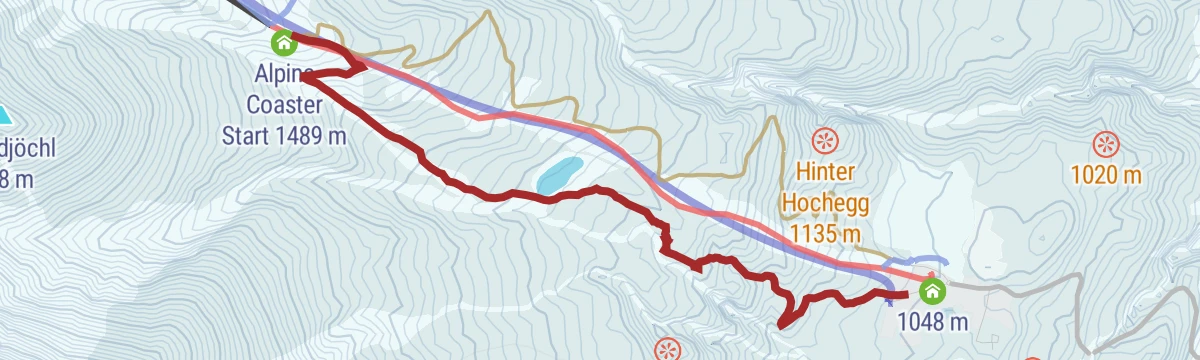
Ursprungweg
4.7 km away, in Imst
A varied snowshoe route away from the pistes at Hoch-Imst, 427 m of climbing past the reservoir to the Untermarkter Alm.
- 3.0 km
- Distance
- 426 m
- Ascent
- 0 m
- Descent
- 1 h 17 min
- Duration
- 23
- Check-ins
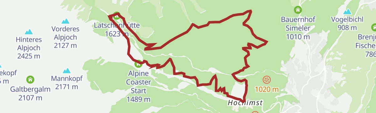
Imster Almenrunde (Nr. 615)
4.8 km away, in Imst
A hut-to-hut circuit above Imst linking the Untermarkter Alm and the Latschenhütte, with the Badesee at the lower end.
- 12.5 km
- Distance
- 642 m
- Ascent
- 1 h 46 min
- Duration
- 31
- Check-ins
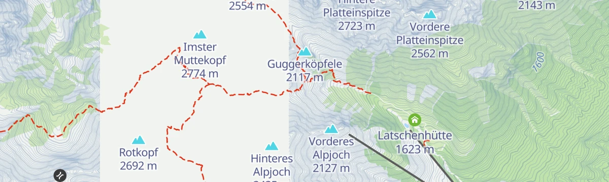
Wasserfallklettersteig
5 km away, in Imst
A short modern sport via ferrata close to the Muttekopfhütte, with only 24 m of climbing on the route itself.
- 44 m
- Distance
- 24 m
- Ascent
- 6 min
- Duration
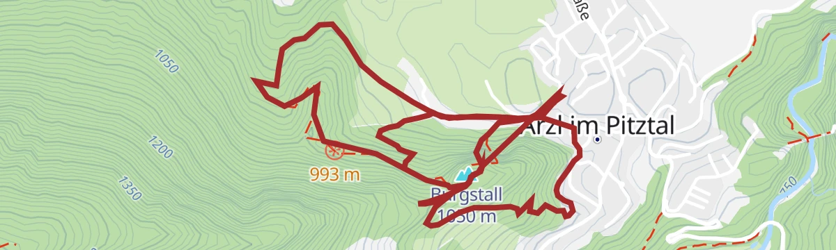
Steinwand - Arzl im Pitztal
6.5 km away, in Arzl im Pitztal
A medium-grade via ferrata on the Steinwand crag above Arzl, with the wooded Burgstall top close by; its low altitude at the mouth of the Pitztal gives it a long season.
- 5.7 km
- Distance
- 402 m
- Ascent
- 3 h 54 min
- Duration
- 2
- Check-ins
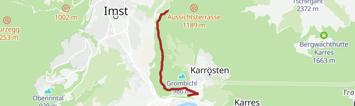
Verbindungsroute (Nr. 631)
6.9 km away, in Karrösten
A short, near-level link track above Karrösten, joining the numbered mountain-bike routes of the upper Inn valley.
- 3.0 km
- Distance
- 99 m
- Ascent
- 20 min
- Duration
Kletterpark Jerzens-Hochzeiger
9.3 km away, in Jerzens
Secured climbing routes in the Hochzeiger area above Jerzens, set among the huts around the Zeigerrestaurant and Tanzalm; counted from the valley, the full round adds up to a demanding day.
- 12.1 km
- Distance
- 1 380 m
- Ascent
- 9 h 5 min
- Duration
- 42
- Check-ins
Einsteiger-Route
10.8 km away, in Jerzens
A first taste of ski touring at the Hochzeiger: a short, gentle skin up to the Zeigerrestaurant — made for testing gear and technique before attempting the longer marked routes.
- 982 m
- Distance
- 121 m
- Ascent
- 0 m
- Descent
- 23 min
- Duration
- 8
- Check-ins
Milser Au
2 km away, in Imst
Level walk through the riverside floodplain woods along the Inn near Mils bei Imst — barely five metres of climbing over the whole round.
- 4.1 km
- Distance
- 0 m
- Ascent
- 57 min
- Duration
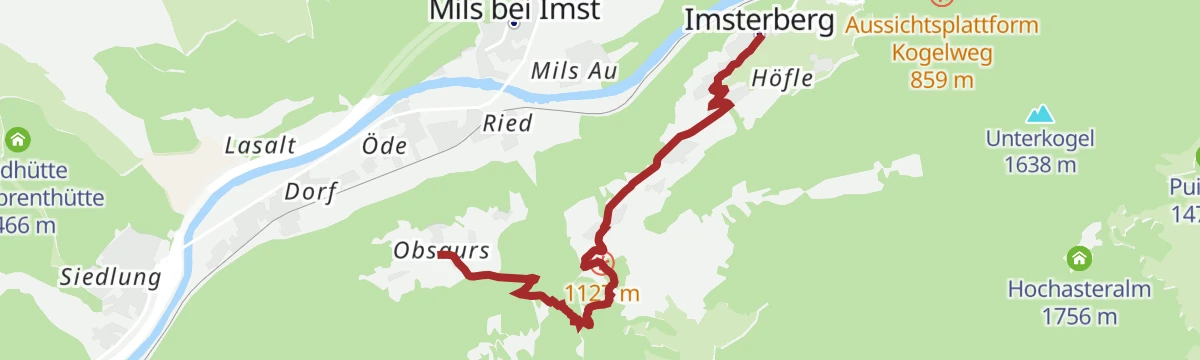
Rüsselbach
2.2 km away, in Imsterberg
A 4.7 km climb along the Rüsselbach on the pilgrims' route to Obsaurs, with 390 m of ascent.
- 4.7 km
- Distance
- 319 m
- Ascent
- 1 h 55 min
- Duration







No routes of this kind in Mils bei Imst yet.
Planning a trip to Mils bei Imst?
Everything else Tyrol has, in one place


Take Mils bei Imst with you into the mountains
Every route on this page with 3D terrain, GPX navigation and offline maps — including the valleys with no signal.
Data sources
- Official website: imst.at ↗
- Routes and highlights: Imst Tourismus, Lechtal Tourismus, Tourismusverband Pitztal, St. Anton am Arlberg, Serfaus-Fiss-Ladis
- Published as open data by the tourist boards named above.
- Region summary generated from the board's own material.
