
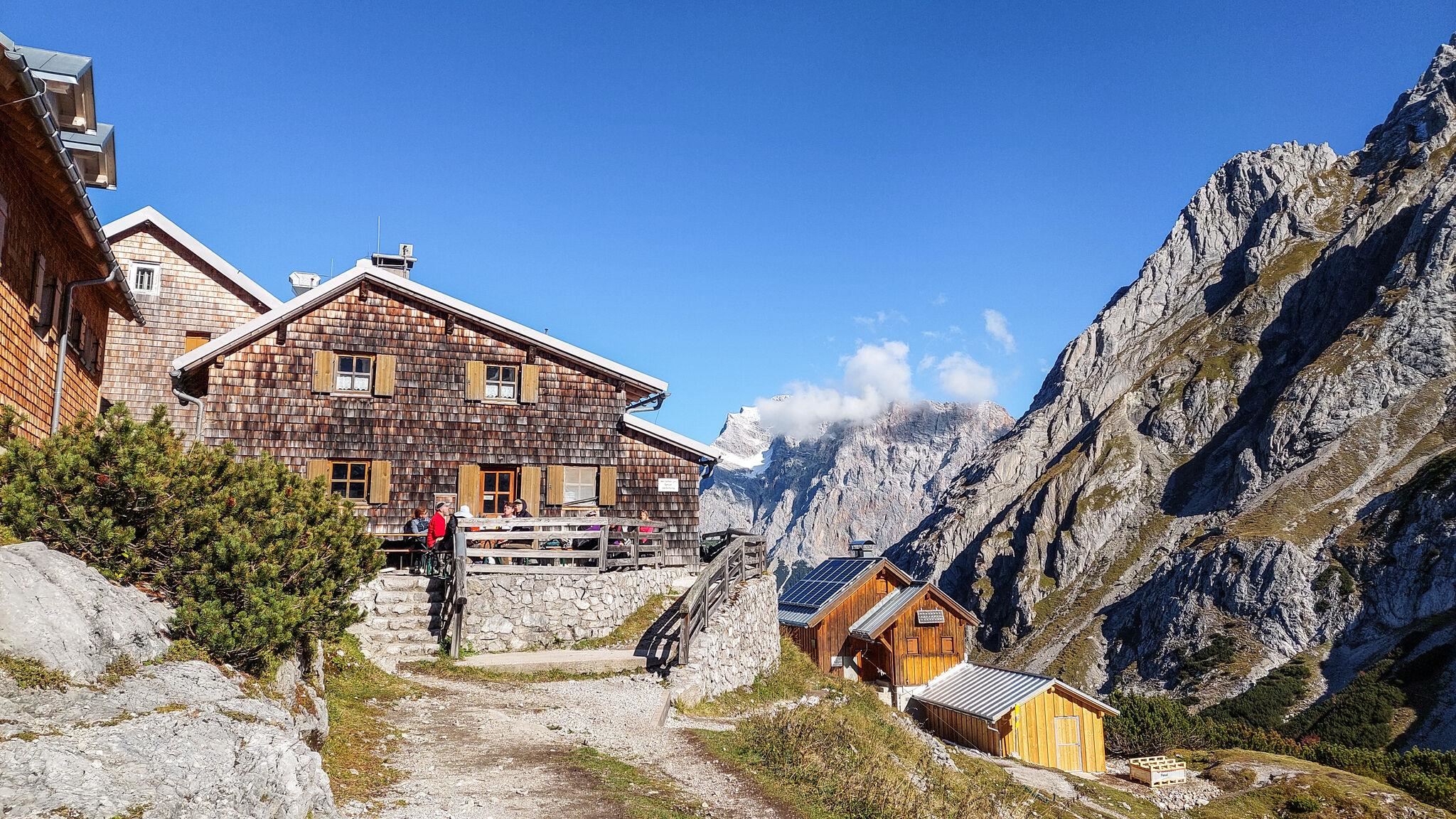
 Mountain hut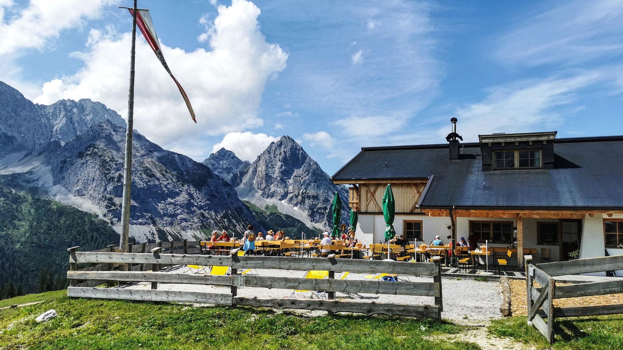
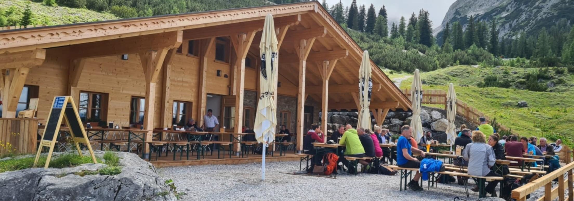
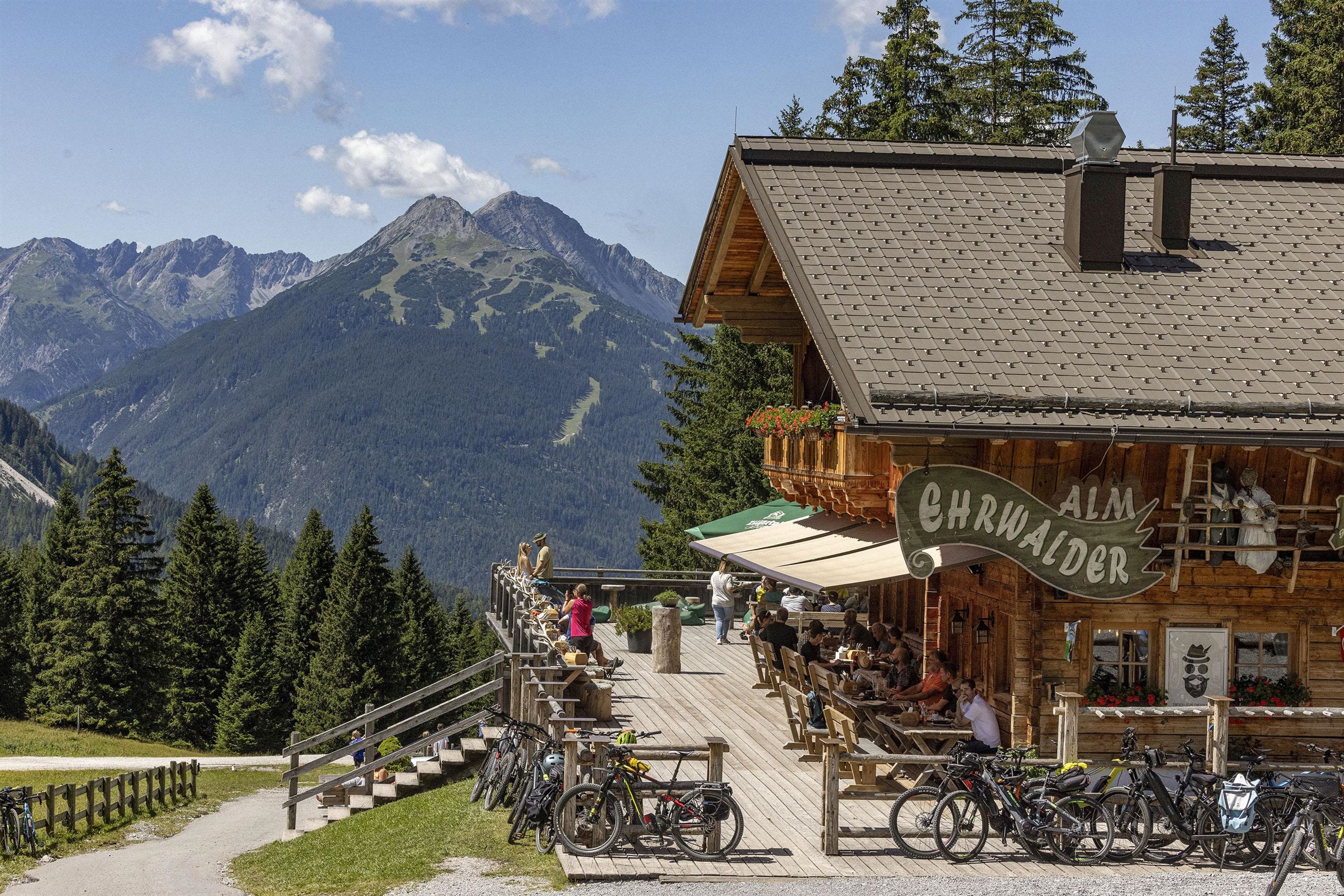
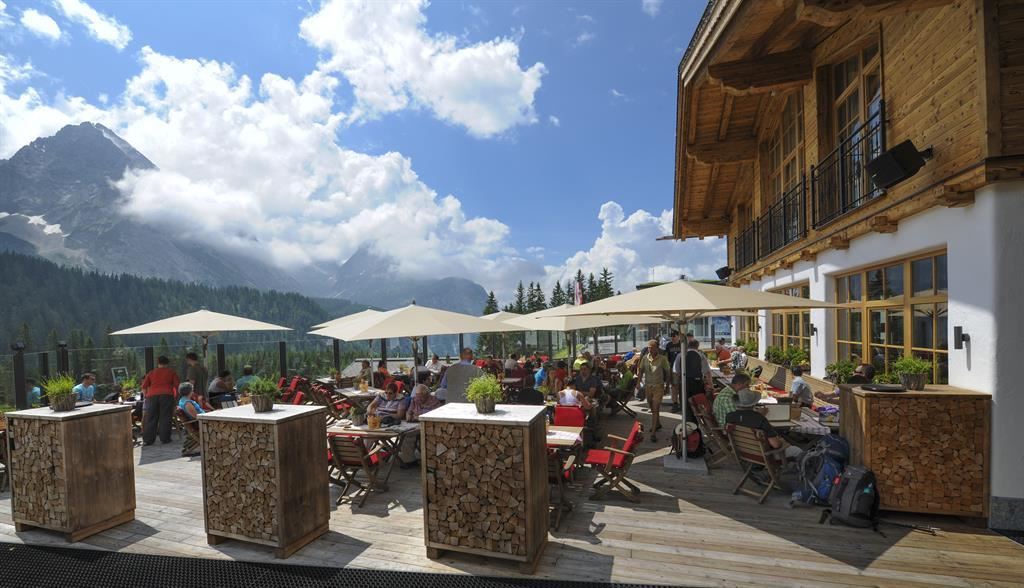
 Historic site












Curated by Innsbruck Tourismus
Mieming
Villages scattered across the larch meadows of the Mieminger Plateau above the Inn, sunny terrace country beneath the Mieminger Kette.
- 2Highlights
- 40Routes
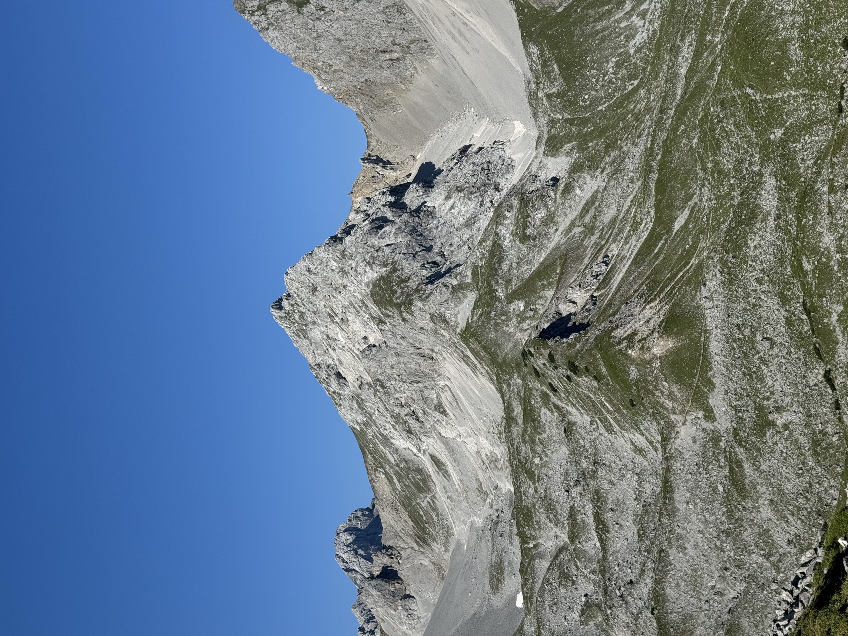
- Featured summit · Hinterer Tajakopf
Highlights
13 from neighbouring places
Coburger Hütte
An Alpine Club hut above the Seebensee near Ehrwald, set among the lakes of the Mieming range and a base for the Sonnenspitze.
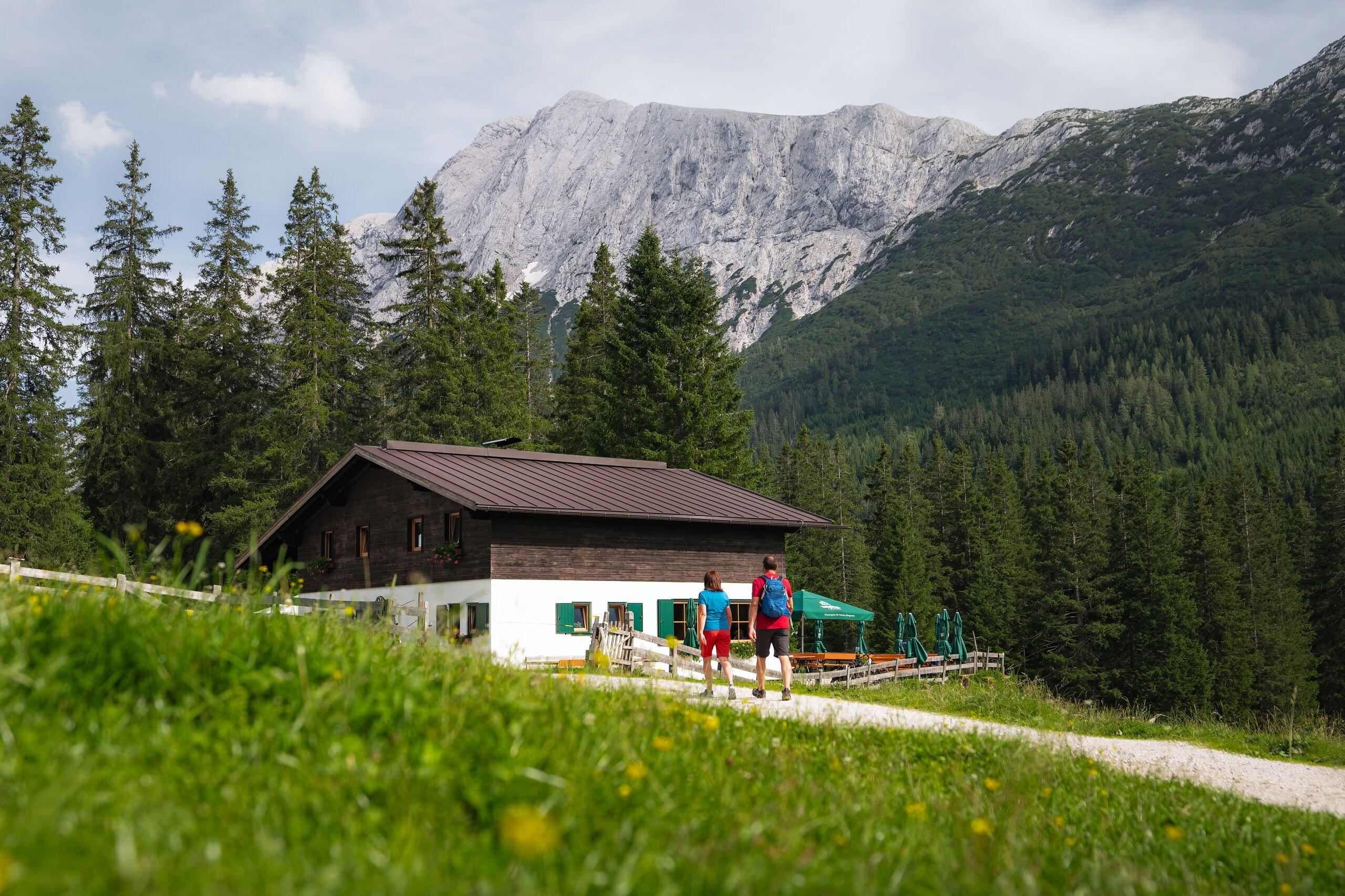
Hochfeldern Alm
An alm at about 1,700 m between the Ehrwalder Alm and the Gaistal, on the high route below the Mieming range.
Seebenalm
4.7 km away, in Ehrwald
An alm near the Seebensee above Ehrwald, on the much-walked route from the Ehrwalder Alm toward the Coburger Hütte.
Ehrwalder Alm
5.5 km away, in Ehrwald
A large alm area above Ehrwald at about 1,500 m, reached by cable car and used as a walking and ski base below the Zugspitze massif.
Tirolerhaus
5.6 km away, in Ehrwald
A day lodge at the Ehrwalder Alm above Ehrwald, serving food beside the cable-car top station below the Zugspitze massif.
Tillfussalm
6.8 km away, in Wildermieming
An alm in the Gaistal above Leutasch beside Ludwig Ganghofer's former hunting lodge, serving walkers on the valley's high tracks.
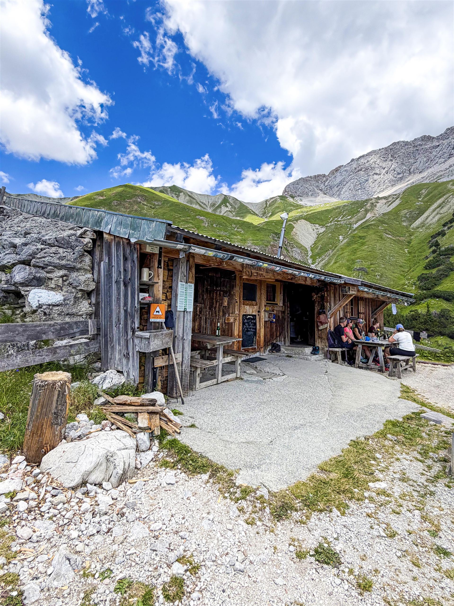
Steinernes Hütt'l
7.7 km away, in Wildermieming
A small stone-built refuge high above the Gaistal near Leutasch, a plain shelter on routes below the Wetterstein range.
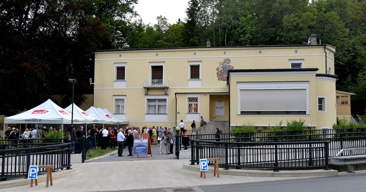
Villa Schindler
7.9 km away, in Telfs
A villa in Telfs (634 m) used today for exhibitions and cultural events, one of the market town's notable historic houses.
Rathaussaal Telfs
8.4 km away, in Telfs
The hall of the town hall in Telfs (634 m), used for concerts, theatre and civic events in the market town west of Innsbruck.
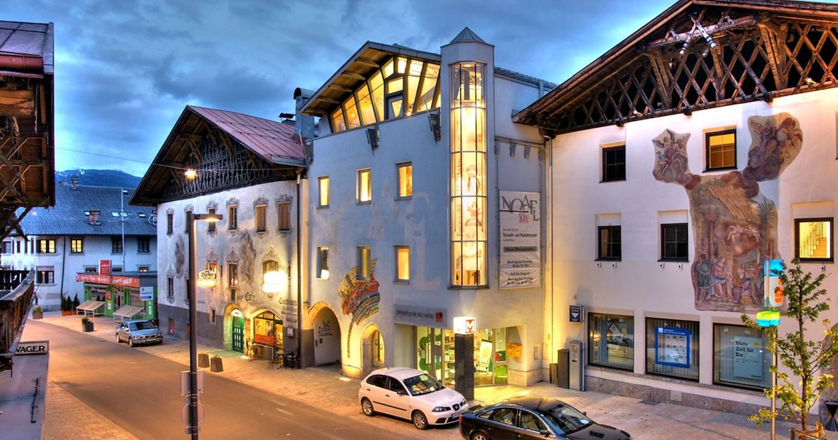
Fasnacht- und Heimatmuseum "Noaflhaus"
8.5 km away, in Telfs
A museum in the Noaflhaus in Telfs on local history and the Schleicherlaufen, the town's large traditional carnival procession.
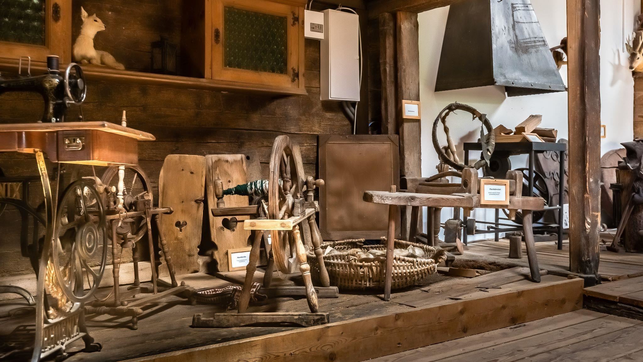
Bergbauernmuseum beim Landgasthof Ropferstub'm
10.7 km away, in Telfs
A private museum of mountain farming at the Ropferstub'm inn south of the Seefeld plateau, showing old tools and rural household gear.
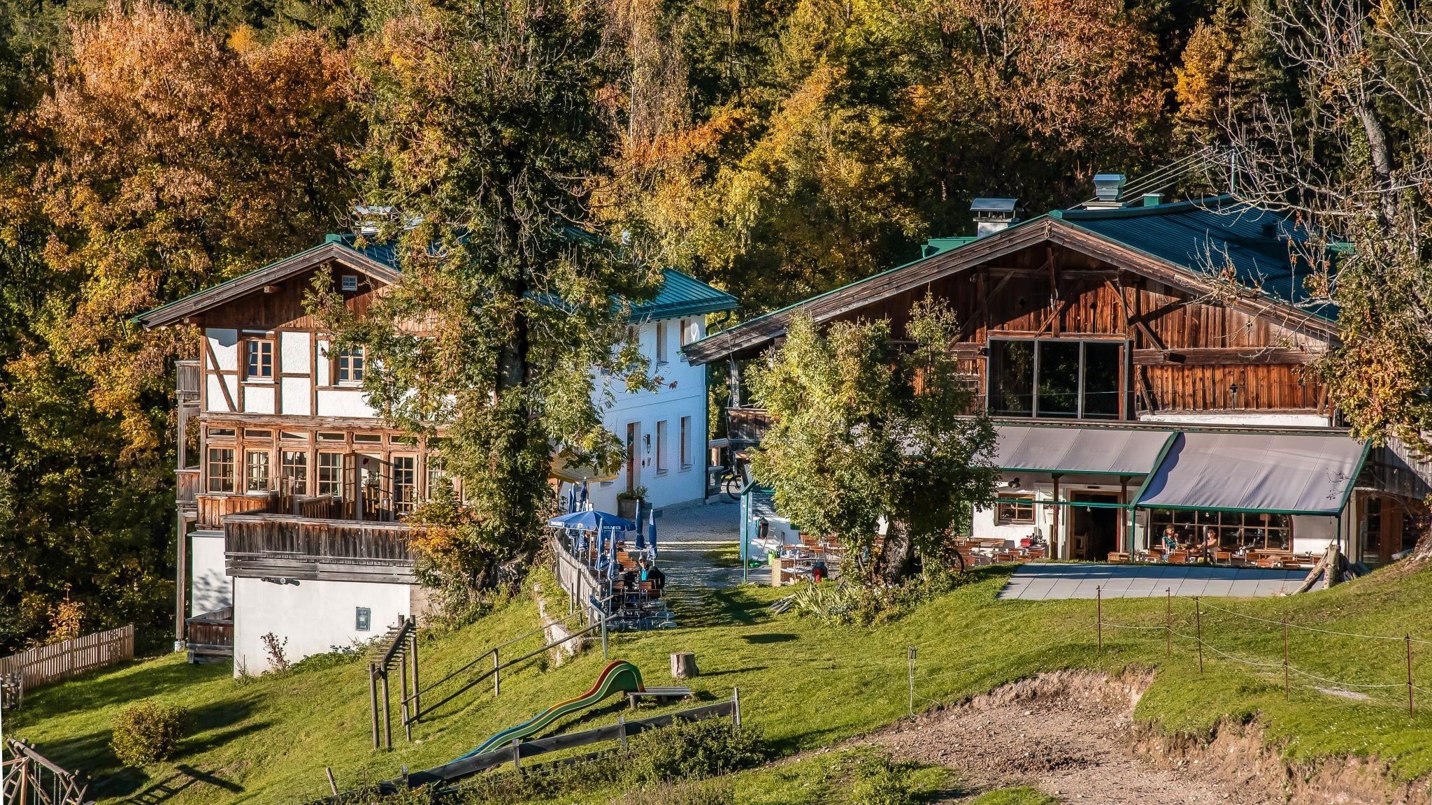
Ropferstub'm, Gasthof
10.7 km away, in Telfs
A country inn between Buchen and Telfs south of the Seefeld plateau, serving Tyrolean cooking with a small farming museum attached.
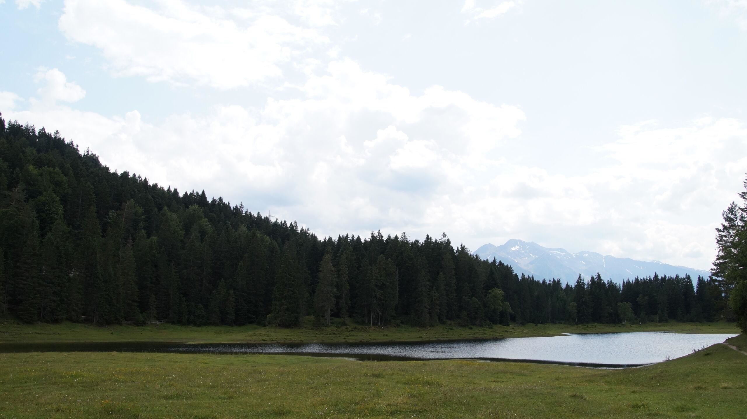
Lottensee - ein Naturphänomen
12.1 km away, in Telfs
A periodic lake near Wildmoos on the Seefeld plateau, appearing only when groundwater is high and sometimes staying dry for years.
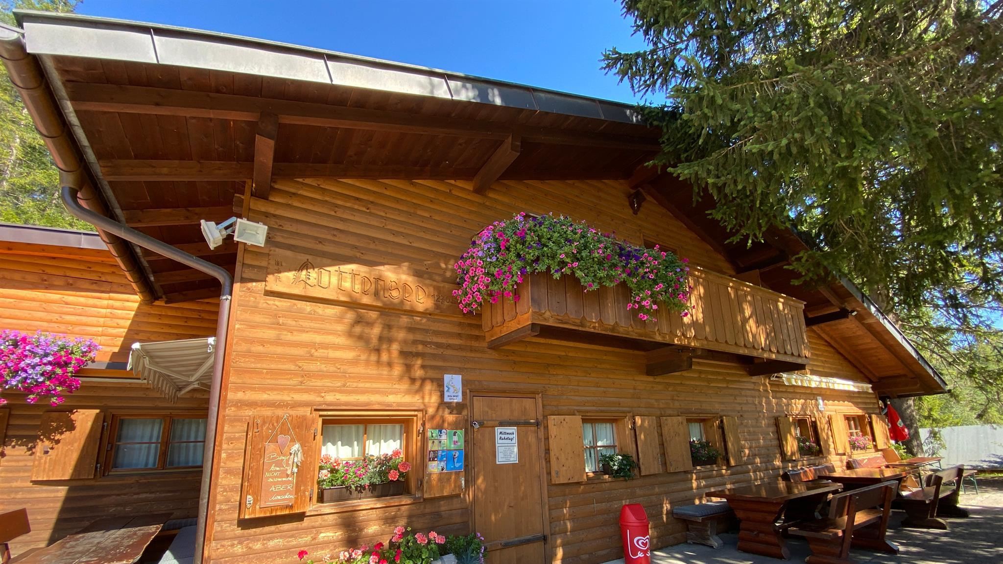
Lottenseehütte
12.1 km away, in Telfs
A hut by the Lottensee on the Wildmoos plateau near Seefeld, beside a shallow lake that periodically disappears.
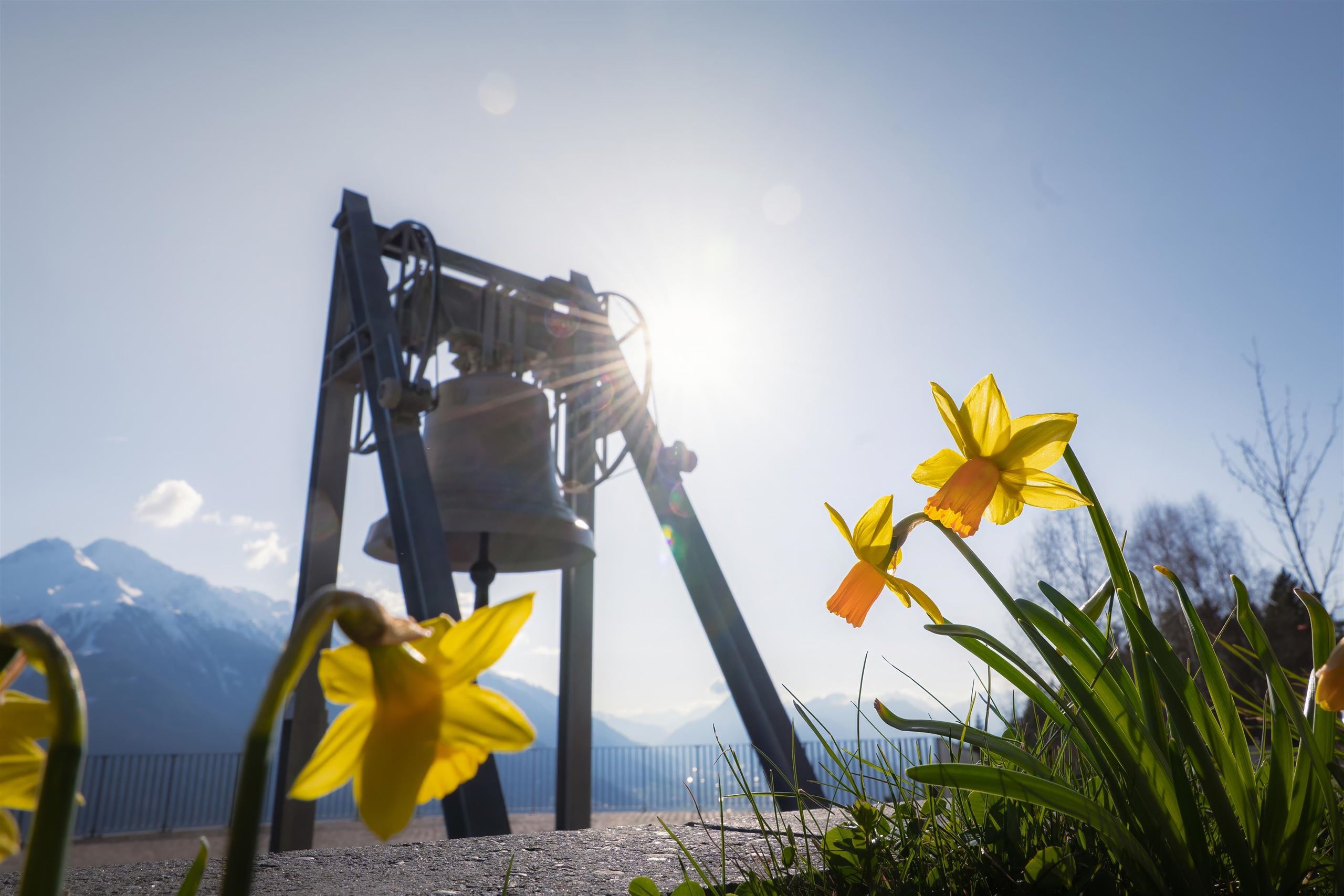
Die Friedensglocke
13.1 km away, in Telfs
The Peace Bell of Mösern, installed in 1997 above the Inn valley and rung daily as a sign of cross-border friendship in the Alps.
Nothing of this kind in Mieming.
Routes
Coburger Steig
Short secured passage at the Vorderes Tajatörl easing the way toward the Coburger Hütte and the Drachensee, easily combined with other Mieminger routes from Ehrwald.
- 5.4 km
- Distance
- 90 m
- Ascent
- 2 h 13 min
- Duration
- 21
- Check-ins
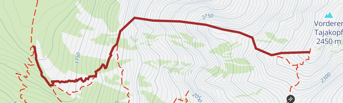
Tajakante Klettersteig
Sustained via ferrata straight up the edge of the Vorderer Tajakopf above the Seebensee - 600 m of climbing on one ridgeline, with descent by the normal route to the Coburger Hütte.
- 1.3 km
- Distance
- 600 m
- Ascent
- 3 h 50 min
- Duration
Golfplatzrunde
Easy circuit skirting the golf course on the Mieming plateau, with the Stöttlalm as a refreshment stop along the way.
- 4.5 km
- Distance
- 109 m
- Ascent
- 1 h 19 min
- Duration
- 6
- Check-ins
Rundwanderung Stöttlalmbrücke
Plateau loop linking the Stöttlalm and the Moosalm, crossing the footbridge that gives the round its name.
- 8.7 km
- Distance
- 178 m
- Ascent
- 2 h 29 min
- Duration
- 7
- Check-ins
Zwei Tages-Tour: Lehnberghaus - Coburger Hütte - Marienbergalm
Two-day crossing of the Mieminger range from the Lehnberghaus over the Biberwierer Scharte to the Coburger Hütte by the Drachensee, finishing via the Marienbergjoch and Marienbergalm.
- 18.8 km
- Distance
- 1 623 m
- Ascent
- 10 h 17 min
- Duration
- 83
- Check-ins
Skitour Wankspitze 2.209 m
Ski tour from Arzkasten onto the Wankspitze, the classic tour of the Mieming plateau, with just over 1,000 m of skinning and a steeper summit slope.
- 5.1 km
- Distance
- 1 045 m
- Ascent
- 1 045 m
- Descent
- 3 h 21 min
- Duration
- 10
- Check-ins
Gaistalrunde - Mieminger Kette Rundtour
A long loop right around the range over the Marienbergjoch, linking the Ehrwalder Alm, Gaistalalm, Marienbergalm and Tillfussalm on forest roads.
- 66.6 km
- Distance
- 2 310 m
- Ascent
- 8 h 5 min
- Duration
- 247
- Check-ins
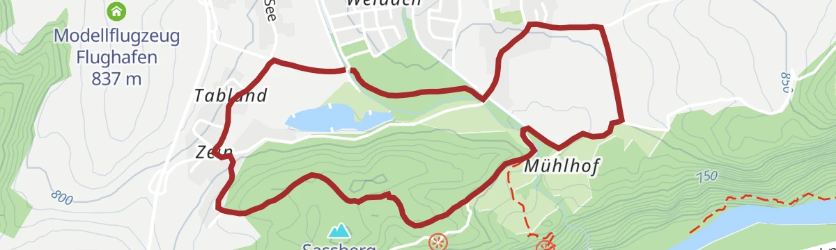
Mieminger Runde
A medium loop on the plateau above Mieming, rolling between the villages on the terrace high over the Inn valley.
- 14.3 km
- Distance
- 228 m
- Ascent
- 1 h 29 min
- Duration
Bike & Hike Seebensee & Drachensee
A ride up through the woods to the Seeben Alm, where the bike is left for the walk on to the Coburger Hütte and the two lakes above it.
- 31.0 km
- Distance
- 1 022 m
- Ascent
- 3 h 43 min
- Duration
- 101
- Check-ins
Wanderung zur Stöttlalm
Short, family-friendly walk across plateau meadows to the Stöttlalm, one of Mieming's easiest alm destinations.
- 3.9 km
- Distance
- 106 m
- Ascent
- 1 h 11 min
- Duration
- 6
- Check-ins
Jakobsweg „Tirol-Allgäu“ von Stams bis Obsteig
Pilgrim stage of the Tirol–Allgäu Way of St James from the abbey village of Stams up onto the Mieming plateau to Obsteig.
- 16.0 km
- Distance
- 600 m
- Ascent
- 5 h 13 min
- Duration
- 2
- Check-ins
Gipfeltour: Wankspitze
Summit hike from Arzkasten past the Lehnberghaus onto the Wankspitze, a steep 1,000 m day topping out high above the Mieming plateau.
- 10.7 km
- Distance
- 1 026 m
- Ascent
- 6 h 22 min
- Duration
- 15
- Check-ins
Bike & Hike Seebensee & Drachensee
A forest-road ride over to the Seeben Alm, with the walk up to the two lakes and the Coburger Hütte where the track ends.
- 31.0 km
- Distance
- 822 m
- Ascent
- 3 h 31 min
- Duration
- 143
- Check-ins
Tschirgantrunde
A road circuit around the massif between the Inn and Ötz valleys, climbing to Gasthaus Arzkasten before the run back down the river.
- 54.3 km
- Distance
- 986 m
- Ascent
- 5 h 45 min
- Duration
- 14
- Check-ins
Alpinpark Mooswiesen
Flat, short stroll through the Mooswiesen past the Moosalm — pram-friendly and easy to combine with a longer plateau walk.
- 1.9 km
- Distance
- 23 m
- Ascent
- 31 min
- Duration
- 1
- Check-ins
Burg Klamm - Wasserfall - Gschwenter Hohlweg
Varied round past the Burg Klamm ruin and its waterfall, returning through the old sunken lane at Gschwent, with the Liftcafe at the Grünberg lift en route.
- 9.8 km
- Distance
- 296 m
- Ascent
- 3 h 1 min
- Duration
- 1
- Check-ins
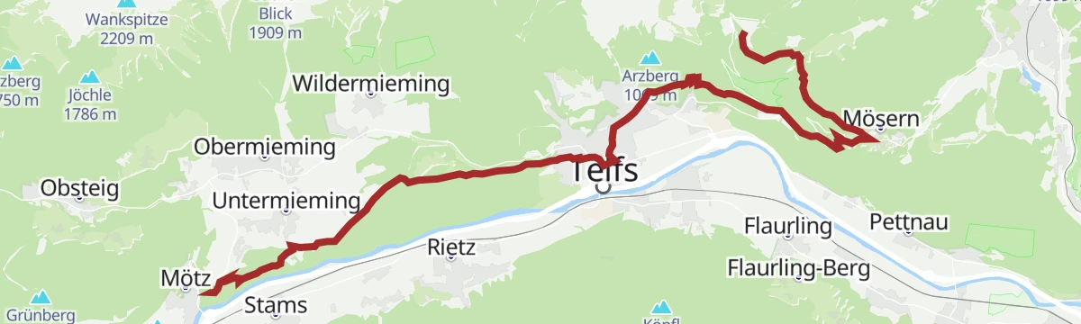
Jakobsweg Etappe 12: Von Buchen nach Telfs/Mötz
Way of St James stage of 23.7 km from Buchen past the Wildmoos golf course and the Lottenseehütte to Mösern, then down by the Möserer chapel and Bairbach to Telfs and Mötz.
- 23.7 km
- Distance
- 585 m
- Ascent
- 7 h 24 min
- Duration
- 8
- Check-ins
Biketour Nr. 551 Seebensee
A long forest-road ride from the Leutasch valley over to the Seeben Alm, with the viewpoint over the Seebental where the track tops out.
- 27.8 km
- Distance
- 569 m
- Ascent
- 3 h
- Duration
- 44
- Check-ins
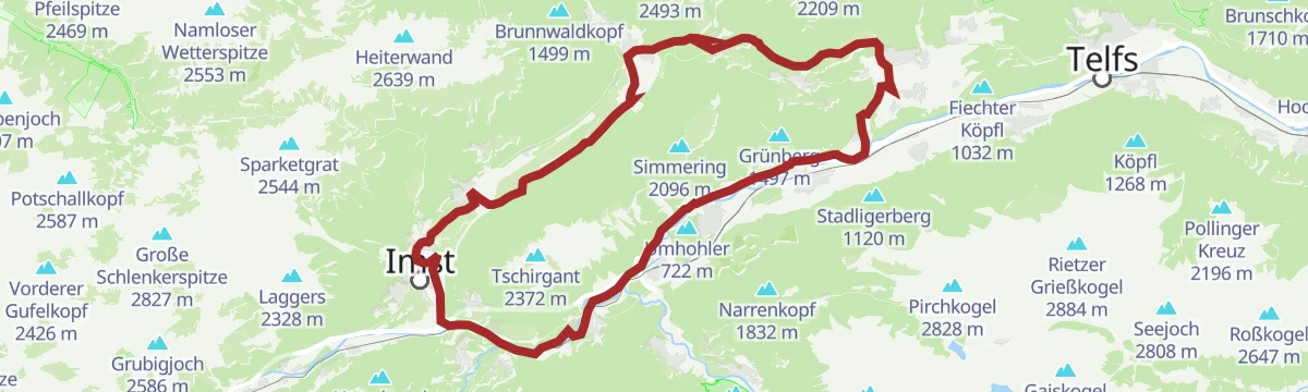
Mieminger Plateau Runde
A near-100 km road round out of the Inn valley, climbing to the terrace villages above Mieming and past Gasthaus Arzkasten.
- 97.1 km
- Distance
- 1 138 m
- Ascent
- 9 h 41 min
- Duration
- 12
- Check-ins
Nordic Walking: Mooswiesen-Runde
Waymarked Nordic walking circuit over the Mooswiesen past the Moosalm — flat, open ground that suits a quick training round.
- 1.3 km
- Distance
- 19 m
- Ascent
- 20 min
- Duration
- 1
- Check-ins
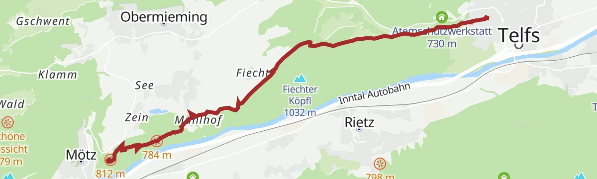
Besinnungsweg Mötz-Telfs
Contemplation route between Mötz and Telfs along the plateau rim, its themed stations spaced out above the Inn valley.
- 10.1 km
- Distance
- 241 m
- Ascent
- 2 h 57 min
- Duration
Jakobsweg „Isar-Loisach-Leutascher Ache-Inn“
Long Camino de Santiago stage through the Seefeld region, following the pilgrim route from the Isar catchment over Mösern towards the Inn valley.
- 24.3 km
- Distance
- 730 m
- Ascent
- 7 h 29 min
- Duration
- 8
- Check-ins
Biketour Nr. 552 Gaistal-Hochfeldern Alm
A forest-road climb to the Hochfeldern Alm at 1,732 m, with the Feldernalm passed on the way up and a fast descent back to the valley.
- 20.2 km
- Distance
- 654 m
- Ascent
- 2 h 25 min
- Duration
- 21
- Check-ins
Von Innsbruck aufs Mieminger Plateau und retour
An 80 km out-and-back from Innsbruck down the Inn past Kranebitten and Hatting, then up onto the Mieminger Plateau.
- 79.5 km
- Distance
- 774 m
- Ascent
- 7 h 47 min
- Duration
- 6
- Check-ins
Besinnungsweg zur Wallfahrtskirche Maria Locherboden
Quiet path with reflection stations leading up through woods to the pilgrimage church of Maria Locherboden, a balcony viewpoint above the Inn.
- 5.3 km
- Distance
- 157 m
- Ascent
- 1 h 38 min
- Duration
Fiechter Köpfl
Loop from Mieming onto a wooded knoll at the plateau's edge, a moderate round with repeated views toward the Mieminger chain.
- 7.2 km
- Distance
- 240 m
- Ascent
- 2 h 17 min
- Duration
Gipfeltour: Gacher Blick
Summit outing from Mieming to a lookout point a thousand metres above the plateau, steep and steady nearly the whole way up.
- 12.9 km
- Distance
- 1 003 m
- Ascent
- 6 h 30 min
- Duration
Gravelrunde Tschirgantmassiv
A gravel circuit right around the Tschirgant massif, passing the Rafting Alm on the Inn and the mouth of the Pitztal.
- 56.0 km
- Distance
- 691 m
- Ascent
- 5 h 37 min
- Duration
- 20
- Check-ins
Genuss-Radweg Mieminger Plateau
A long tour over the terraces above Mieming, climbing to Gasthaus Arzkasten at 1,150 m and passing the Grünberg lift on the way round.
- 40.1 km
- Distance
- 731 m
- Ascent
- 4 h 15 min
- Duration
- 4
- Check-ins
Mooswiesen-Runde
Easy circuit over the moss meadows of the Mieming plateau, level walking with the Mieminger peaks as a constant backdrop.
- 5.3 km
- Distance
- 97 m
- Ascent
- 1 h 30 min
- Duration
Hängebrücke - Wallfahrtskirche Maria Locherboden
Round that crosses a suspension footbridge and climbs to the pilgrimage church of Maria Locherboden on its lookout knoll above the Inn valley.
- 8.5 km
- Distance
- 279 m
- Ascent
- 2 h 41 min
- Duration
Tschirgantrunde
A circuit of the Tschirgant on valley tracks, passing the Weiße Haus, Camping Rossbach and the turn-off into the Pitztal.
- 56.0 km
- Distance
- 691 m
- Ascent
- 5 h 37 min
- Duration
- 20
- Check-ins
Radweg Mieming (23)
A signed road tour out of Mieming with a long pull up to Gasthaus Arzkasten, then a descent back to the valley floor.
- 32.9 km
- Distance
- 665 m
- Ascent
- 3 h 33 min
- Duration
- 1
- Check-ins
Nordic Walking-Strecke: Badesee Runde
Short Nordic walking loop around Mieming's swimming lake, an easy round that doubles as a family stroll with a swim at the end.
- 4.3 km
- Distance
- 85 m
- Ascent
- 1 h 13 min
- Duration
Nordic Walking: Gschwenter Runde
Nordic walking circuit around the Gschwent side of Obsteig — steady, open going on plateau lanes and field paths.
- 8.4 km
- Distance
- 167 m
- Ascent
- 2 h 23 min
- Duration
Imster Radmarathon | Panoramarunde (Jubiläum)
A long tour out of Imst over the Holzleitensattel at 1,119 m, looping back down the Inn valley past the mouth of the Pitztal.
- 79.5 km
- Distance
- 727 m
- Ascent
- 7 h 45 min
- Duration
- 14
- Check-ins
Nordic Walking: Pro Activ Runde
The shortest of Mieming's Nordic walking circuits: under two kilometres of easy going, made for a quick workout or a warm-up round.
- 1.8 km
- Distance
- 28 m
- Ascent
- 29 min
- Duration
Nordic Walking: Kapellenweg, Mieming
Long Nordic walking round that strings together the chapels scattered across the Mieming plateau — quiet lanes and field paths throughout.
- 10.5 km
- Distance
- 198 m
- Ascent
- 2 h 56 min
- Duration
Tschirgantrunde mit dem Rennrad
A round of the Tschirgant crossing the Holzleitensattel at 1,119 m, with the return along the floor of the Inn valley.
- 51.8 km
- Distance
- 683 m
- Ascent
- 5 h 14 min
- Duration
- 12
- Check-ins
Seerosenteich
Plateau round to a small pond covered in water lilies — a gentle half-day on field paths and forest edges near Mieming.
- 7.1 km
- Distance
- 112 m
- Ascent
- 1 h 56 min
- Duration
No routes of this kind in Mieming yet.
The region's own picks

Featured route
Golfplatzrunde
Easy circuit skirting the golf course on the Mieming plateau, with the Stöttlalm as a refreshment stop along the way.
Planning a trip to Mieming?
Everything else Tyrol has, in one place


Take Mieming with you into the mountains
Every route on this page with 3D terrain, GPX navigation and offline maps — including the valleys with no signal.
Data sources
- Official website: innsbruck.info ↗
- Routes and highlights: Innsbruck Tourismus, Region Seefeld, Imst Tourismus, Naturparkregion Reutte, Serfaus-Fiss-Ladis
- Published as open data by the tourist boards named above.
- Region summary generated from the board's own material.
