
 Historic site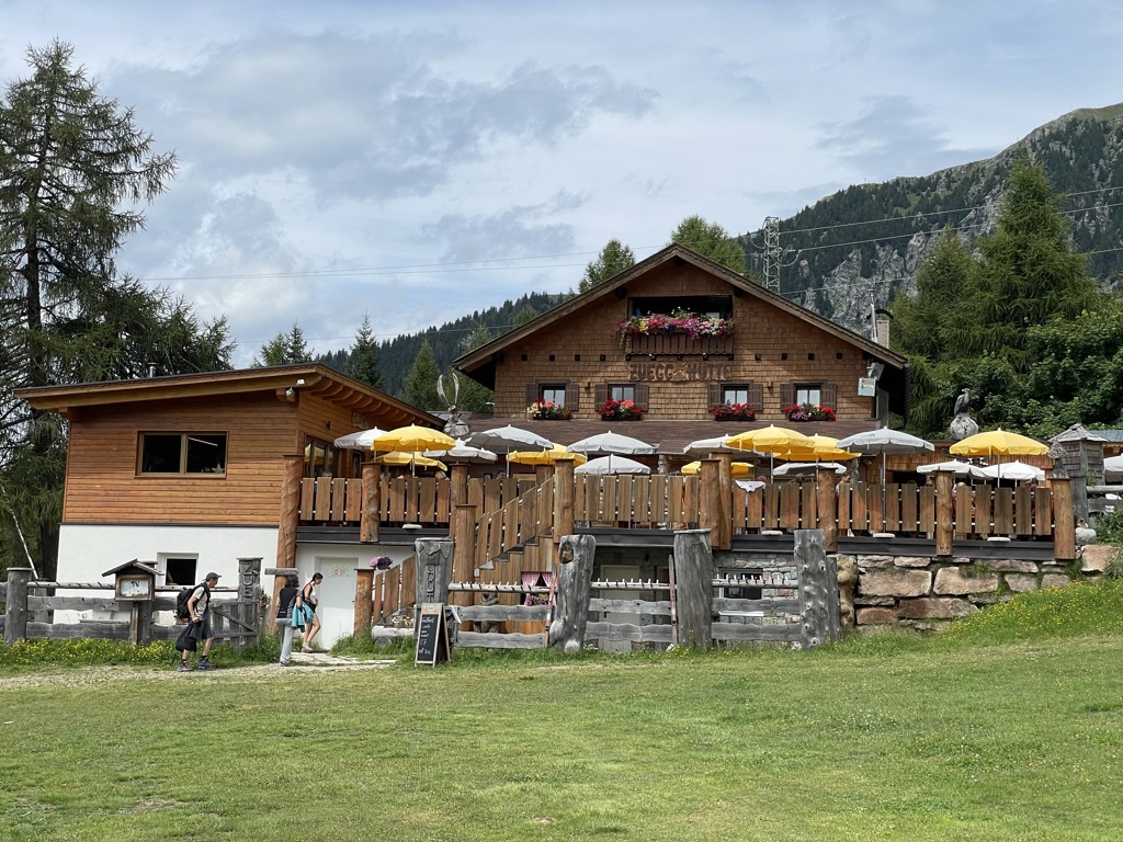





Curated by Sterzing, Pfitsch und Freienfeld
Meltina/Mölten
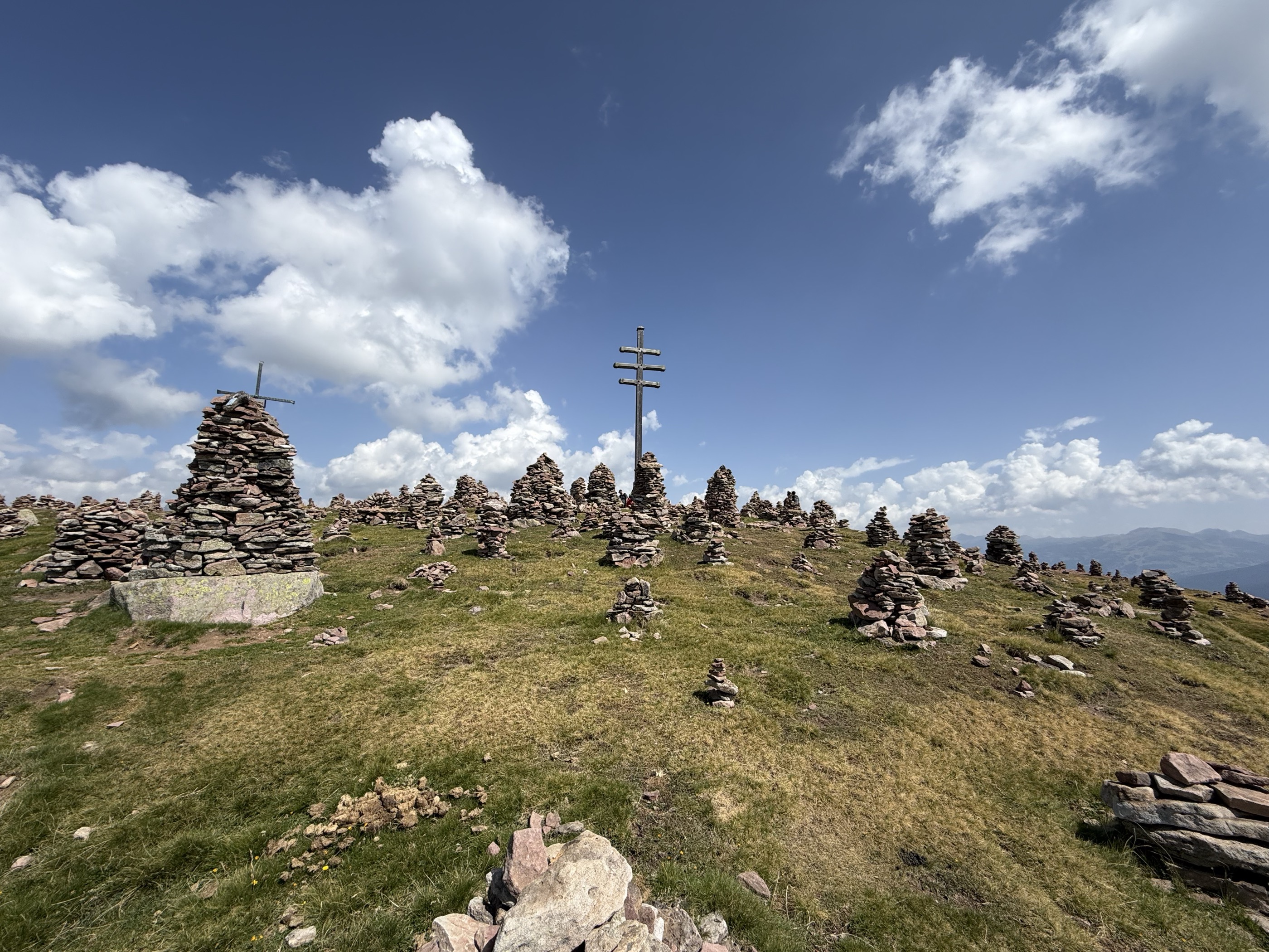
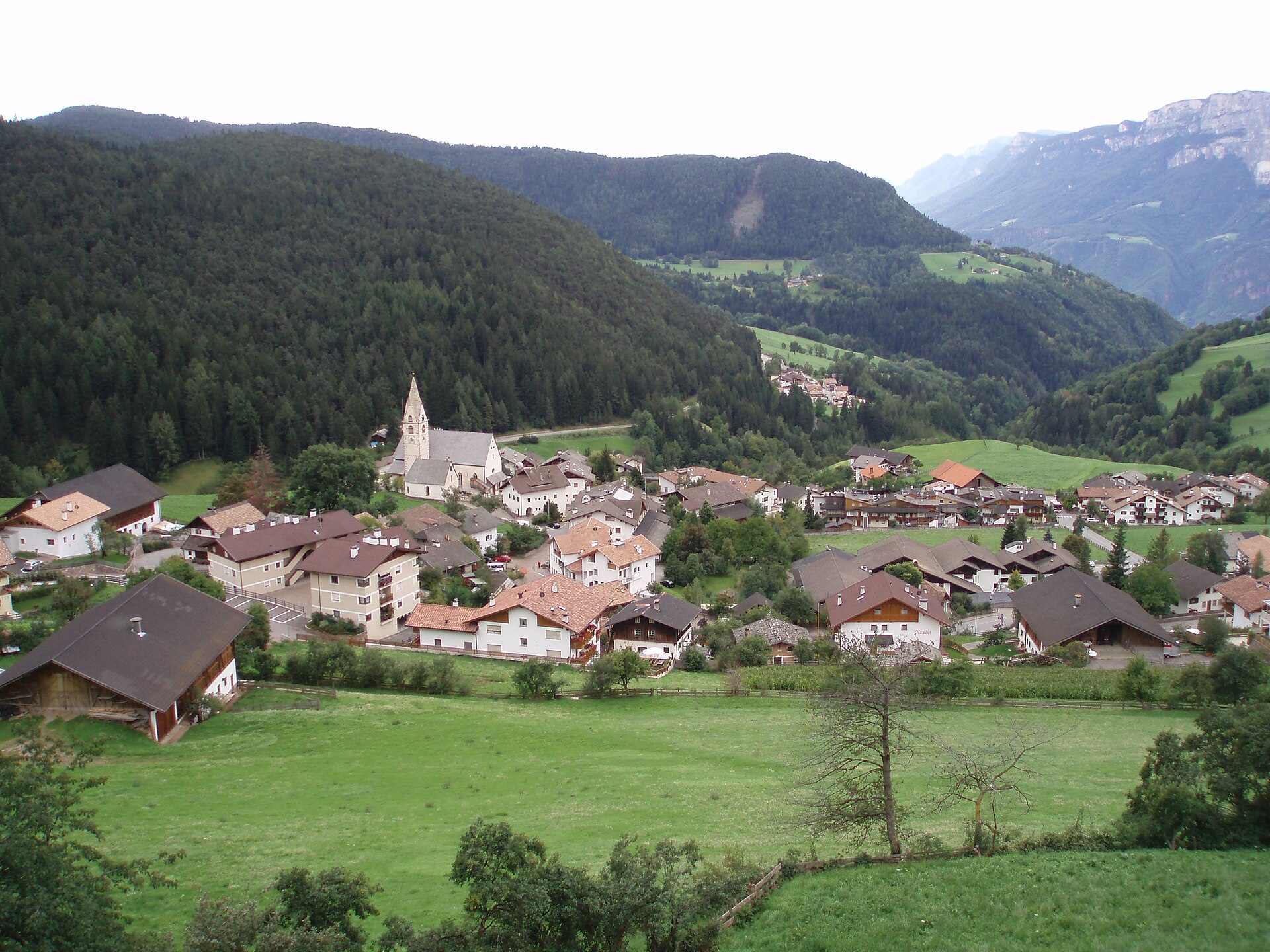
A high village on the Salto plateau above Bolzano, with the Stoanerne Mandln cairn ridge above.
Photo: JFKCom · CC BY-SA 3.0 licence
- 1Highlights
- 8Routes
- Featured summit · Stoanerne Mandln
Highlights
14 from neighbouring places
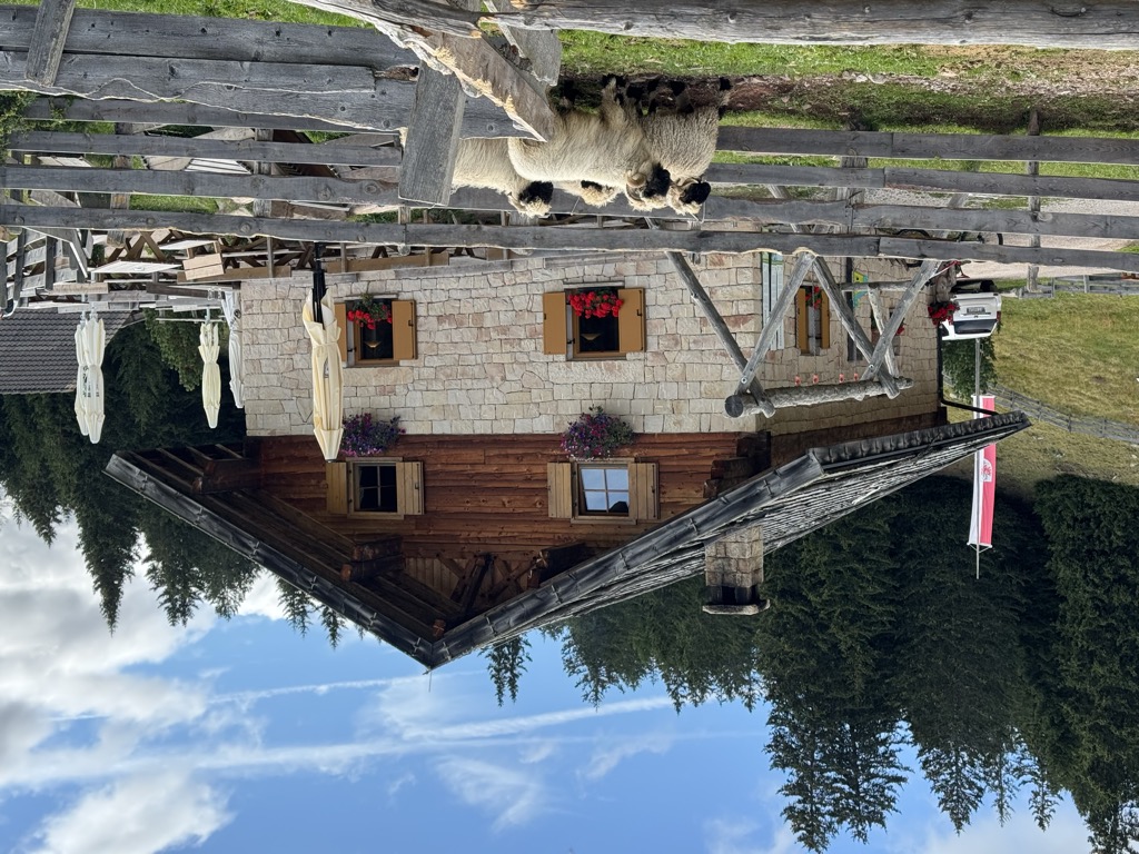
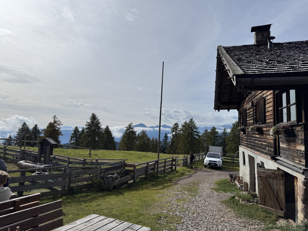
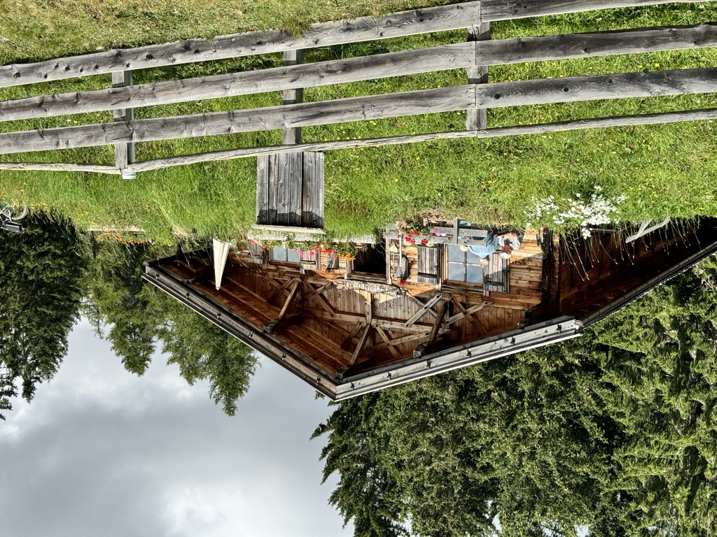
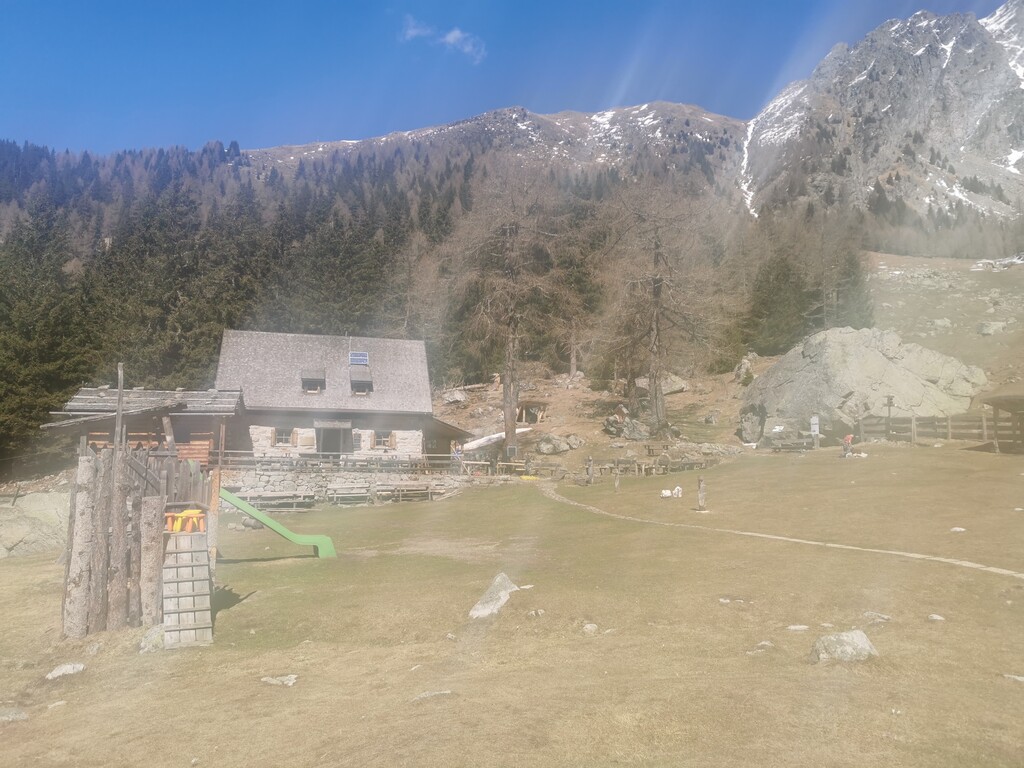
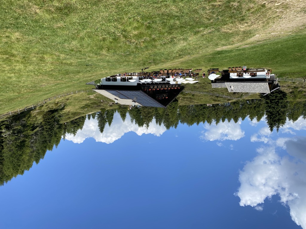
Malga Möltner Kaser
A dairy hut on the Salto plateau above Meltina, on the broad Tschögglberg ridge between the Adige and the Val Sarentino.
Sterzing, Pfitsch und FreienfeldBerggasthof Lanzenschusterhof
3.3 km away, in San Genesio Atesino/Jenesien
A mountain inn on the Tschögglberg above San Genesio, on the plateau that looks across to the Dolomites from north of Bolzano.
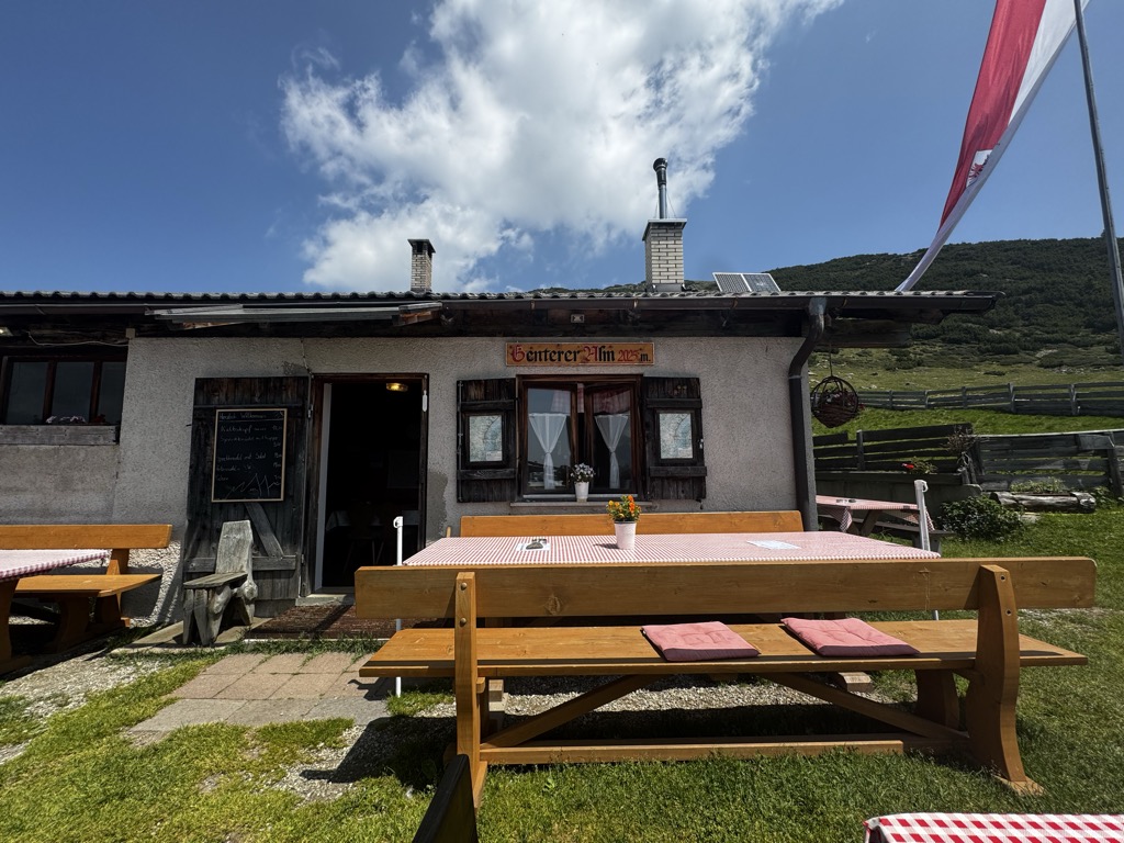
Genterer Alm
14.9 km away, in Sarentino/Sarntal
A dairy hut on the Genter pastures of the Sarntal, above Sarentino, reached by the path that climbs through larch woods from the valley road.
Sterzing, Pfitsch und FreienfeldMalga Wurzer Alm
5.4 km away, in Avelengo/Hafling
A working dairy on the Wurzer pastures above Avelengo, on the slopes below the Ifinger, serving what it makes.
Malga Wurzer
5.4 km away, in Avelengo/Hafling
A dairy hut on the pastures above Avelengo, on the high shelf between Hafling and the Ifinger.
Malga Moschwaldalm
7.6 km away, in Avelengo/Hafling
A dairy hut on the Moschwald pastures above Avelengo, in the woods below the Merano 2000 plateau.
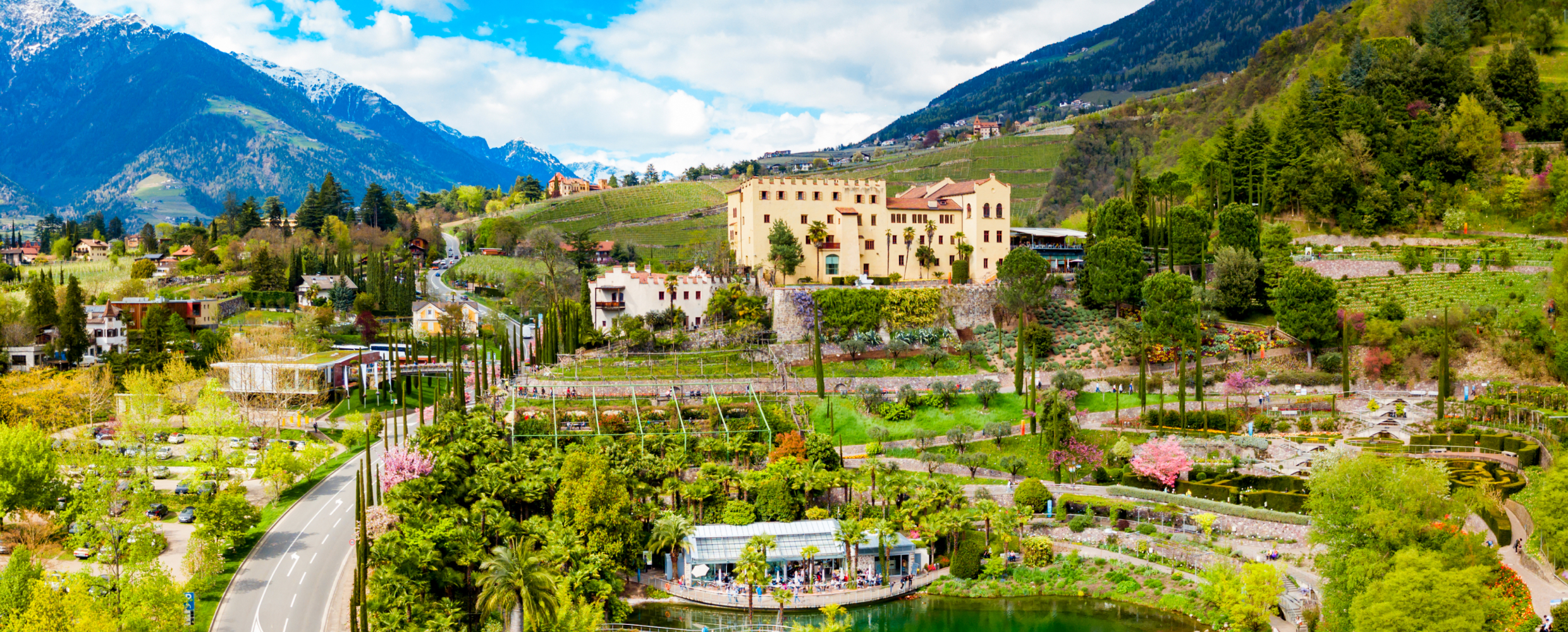
Sterzing, Pfitsch und FreienfeldGiardini di Castel Trauttmansdorff
9 km away, in Merano/Meran
Terraced botanic gardens around a castle above Merano, planted in zones from Mediterranean to Alpine.
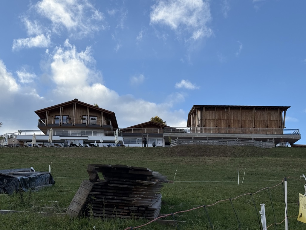
Chalet Zuegg
9 km away, in Avelengo/Hafling
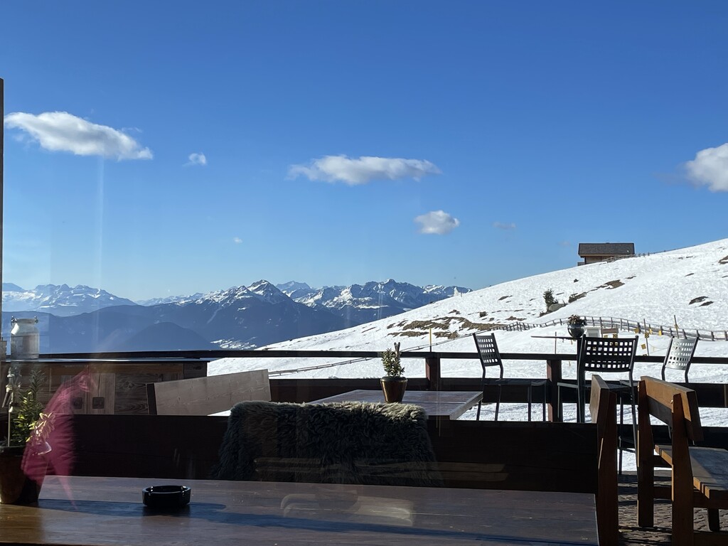
A mountain house on the meadow terrace of Avelengo, high above the Adige valley and below the Merano 2000 pastures.
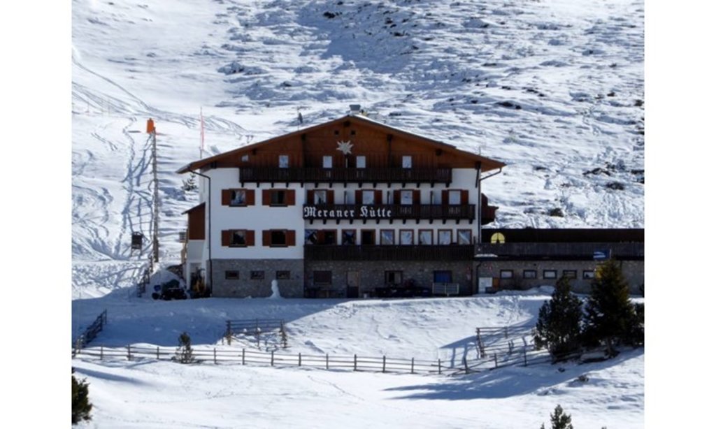
Rifugio Meraner Hütte
10 km away, in Avelengo/Hafling
A refuge on the Merano 2000 pastures above Avelengo, below the Kleiner Ifinger, reached from the lifts at Falzeben.
Sterzing, Pfitsch und FreienfeldMalga Waidmannalm
10.1 km away, in Avelengo/Hafling
A dairy hut on the Merano 2000 pastures above Avelengo, beside the runs and walking paths of the plateau.
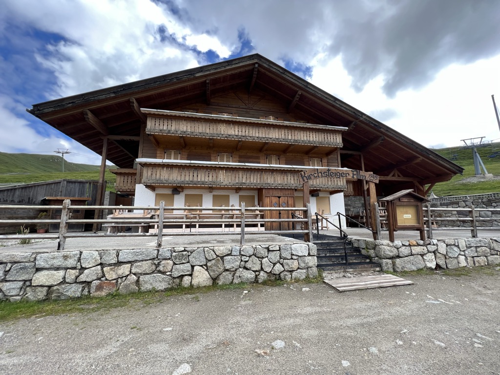
Malga Kirchsteiger
10.4 km away, in Avelengo/Hafling
A dairy hut above Avelengo, on the pasture slopes between the Hafling farms and the Merano 2000 ski ground.
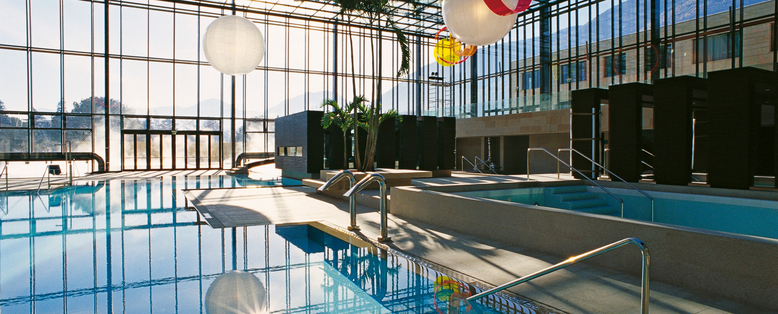
Terme Merano
10.9 km away, in Merano/Meran
Thermal pools in Merano under a glass cube by Matteo Thun, with a park along the Passirio.
Malga Ifinger
11.1 km away, in Scena/Schenna
A dairy hut under the Ifinger above Scena, on the pastures that link the Merano 2000 plateau with the paths to the Hirzer.
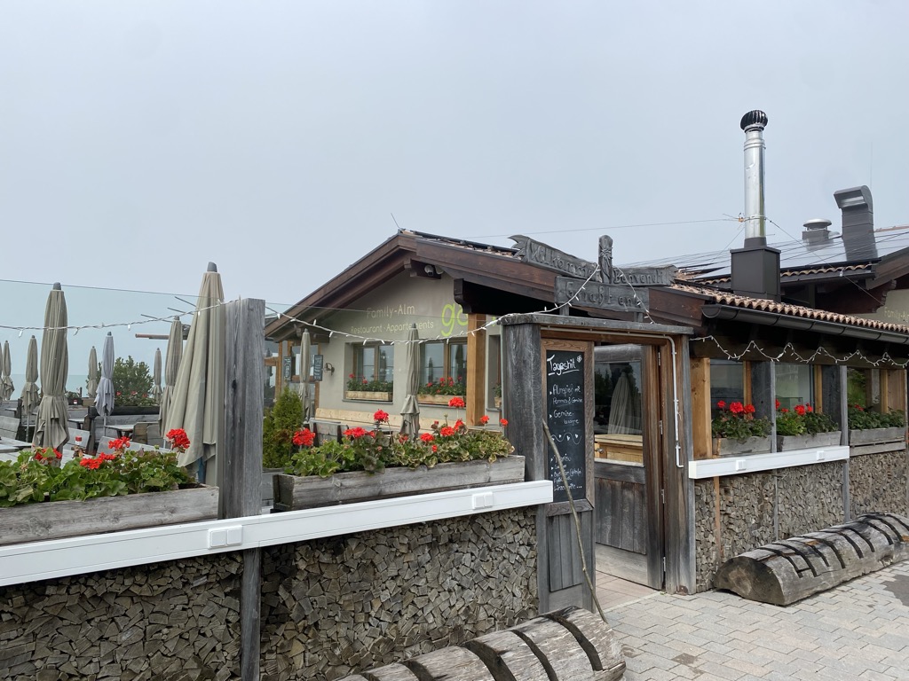
Sterzing, Pfitsch und FreienfeldFamily-Alm Gampl
12.9 km away, in Lana/Lana
A dairy hut on the wooded slopes above Lana, west of Merano at the mouth of the Val d'Ultimo.
Stafell Alm - rifugio
14.9 km away, in Scena/Schenna
A pasture hut above Scena, on the open slopes of the Sarntal Alps between the village farms and the Hirzer paths.
Sterzing, Pfitsch und Freienfeld
Nothing of this kind in Meltina/Mölten.
Routes
12 from neighbouring places
Escursione agli Omini di Pietra
A climb from Meltina to the Stoanerne Mandln, a ridgetop group of stone cairns used as a sacred site since Celtic times.
- 8.1 km
- Distance
- 626 m
- Ascent
- 3 h 2 min
- Duration
- 97
- Check-ins
 Stoanerne Mandln 2 003 m
 Möltner Kaser 1 767 m
 Schermoossattel - Sella Schermoos 1 450 m
- Sattler Hütte 1 609 m
Open route Partschins - Rabland - TöllMeran 2000
A high panoramic traverse from Merano 2000 to the Jenesien plateau above Bolzano, past alpine dairies and the Stoanerne Mandln cairns.
- 21.9 km
- Distance
- 376 m
- Ascent
- 6 h 53 min
- Duration
- 178
- Check-ins
Sentiero circolare: Campitello - Omini di Pietra
A circuit from the Campitello car park over the Jenesiener Jöchl to the Stoanerne Mandln, a ridge of stone cairns, returning by the Möltner Kaser.
- 13.4 km
- Distance
- 566 m
- Ascent
- 4 h 32 min
- Duration
- 90
- Check-ins
- Stoanerne Mandln 2 003 m
- Möltner Kaser 1 767 m
- Jenesier Jöchl 1 665 m
- Milchhaus 1 474 m
- Stegerhof 1 478 m
- Herrenhaus 1 478 m
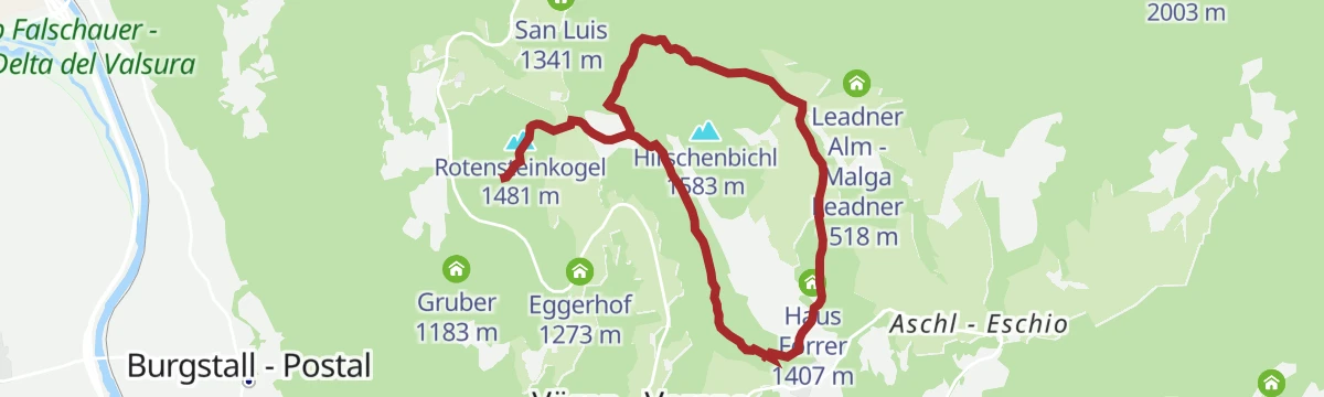
Open route Partschins - Rabland - TöllEscursione agli Ometti di pietra
A long climb from Verano to the Stoanerne Mandln, the field of stacked stone figures on a pasture above 2,000 m in the Sarntal Alps.
- 19.6 km
- Distance
- 839 m
- Ascent
- 6 h 40 min
- Duration
- 119
- Check-ins
- Stoanerne Mandln 2 003 m
- Leadner Alm - Malga Leadner 1 518 m
- Möltner Kaser 1 767 m
- Haus Forrer 1 407 m
- Oberwirt 1 277 m
- Gasthof Waldbichl 1 504 m
- +1
Open route Partschins - Rabland - TöllSentiero delle Leggende
A route over the Salten plateau from the Stella Alpina riding stable towards Lavenna, with fourteen local legends set out on boards made by San Genesio schoolchildren.
- 14.4 km
- Distance
- 404 m
- Ascent
- 4 h 22 min
- Duration
- 23
- Check-ins
- Rabenbühel - Colle di Raben 1 513 m
- Gschnoferstall 1 436 m
- Edelweiss 1 358 m
- Saltnerhof 1 439 m
- Haflinger Unterwirt 1 228 m
- Langfenn 1 527 m
Open route Partschins - Rabland - TöllCampitello - Omini di Pietra
From the Schermoos car park, path 5 to the Moeltner Kaser hut and 23A to the Stoanerne Mandln cairns, returning by 23 past the Jenesier Joechl.
- 16.0 km
- Distance
- 639 m
- Ascent
- 5 h 20 min
- Duration
- 110
- Check-ins
- Stoanerne Mandln 2 003 m
- Möltner Joch 1 733 m
- Möltner Kaser 1 767 m
- Schermoossattel - Sella Schermoos 1 450 m
- Jenesier Jöchl 1 665 m
- Jausenstation Lanzenschusterhof 1 540 m
Open route Partschins - Rabland - TöllSentiero circolare: San Genesio - Tschaufen - Salto
A circuit from San Genesio past the earth pyramids to the Tschaufenhaus, then back over the Salten plateau by way of the Stella Alpina.
- 13.8 km
- Distance
- 432 m
- Ascent
- 4 h 18 min
- Duration
- 17
- Check-ins
- Edelweiss 1 358 m
- Wieserhof 1 389 m
- Wieterer 1 250 m
- Saltnerhof 1 439 m
- Tschaufen 1 317 m
- Eggensepp 1 171 m
- +2
Open route Partschins - Rabland - TöllMeltina - Knottnkino (Verano)
A walk to the Knottnkino on the Rotsteinkogel, where thirty chestnut-wood seats face the Adige valley, the Tessa group and the Corno Bianco.
- 9.3 km
- Distance
- 447 m
- Ascent
- 2 h 60 min
- Duration
- 12
- Check-ins
Open route Sterzing, Pfitsch und FreienfeldFacile escursione da Verano ad Avelengo
1.9 km away, in Verano/Vöran
An easy link from Verano to Avelengo along the Tschögglberg terrace, level enough for a pushchair and with inns on the way.
- 6.3 km
- Distance
- 143 m
- Ascent
- 1 h 52 min
- Duration
- 5
- Check-ins
Open route Partschins - Rabland - TöllGiro in bicicletta da Vilpiano a Lana
4.6 km away, in Terlano/Terlan
An almost level family ride from Vilpiano down the valley to Lana, where the Schnatterpeck altar and the fruit-growing museum are within reach.
- 20.7 km
- Distance
- 10 m
- Ascent
- 1 h 51 min
- Duration
- 2
- Check-ins
- Naturbar 257 m
- Naturbad Gargazon 255 m
- Al Puntogiusto 257 m
- Restaurant Pircher 255 m
- Kathi´s Jausenstation - Ristoro Kathi´s 257 m
- Mooshof 257 m
- +2
Open route Sterzing, Pfitsch und FreienfeldScialpinismo al rifugio Kuhleiten Kuhleiten a Merano 2000
7.9 km away, in Avelengo/Hafling
A marked ski route at Merano 2000 up to the Kuhleiten hut at 2,362 m, which stays open into the evening on Thursdays and Fridays.
- 6.9 km
- Distance
- 738 m
- Ascent
- 0 m
- Descent
- 2 h 29 min
- Duration
- 129
- Check-ins
- Waidmannalm 1 998 m
- Kuhleitenhütte - Rifugio Kuhleiten 2 362 m
- Restaurant Panorama 1 617 m
- Zuegghütte - Rifugio Zuegg 1 767 m
- Rotwandhütte - Rifugio Parete Rossa 1 822 m
- Forcella Sant’Osvaldo - Oswaldscharte 2 323 m
- +4
Open route Partschins - Rabland - TöllVia ferrata "Heini Holzer" Ifinger - accesso da Merano 2000
9.2 km away, in Avelengo/Hafling
A ferrata on the Ifinger secured with a kilometre of steel cable, graded A to B/C, within reach of steady beginners from fourteen up. Start early.
- 7.5 km
- Distance
- 712 m
- Ascent
- 5 h 36 min
- Duration
- 132
- Check-ins
- Piffinger Köpfl 1 937 m
- Kleiner Ifinger 2 554 m
- Kuhleitenhütte - Rifugio Kuhleiten 2 362 m
- Passo di Nova 1 952 m
- Panorama Bistro Meran 2000 1 901 m
- Piffinger Köpfl 1 898 m
- +1
Open route Partschins - Rabland - TöllVia ferrata "Heini Holzer" Ifinger - accesso dalla Malga Taser
12.5 km away, in Scena/Schenna
The Heini Holzer ferrata on the Ifinger approached from Malga Taser, graded A to B/C on a kilometre of cable; a long day, so start early.
- 12.8 km
- Distance
- 1 357 m
- Ascent
- 10 h 25 min
- Duration
- 77
- Check-ins
- Kleiner Ifinger 2 554 m
- Kuhleitenhütte - Rifugio Kuhleiten 2 362 m
- Forcella Sant’Osvaldo - Oswaldscharte 2 323 m
- Gasthof Taser Alm 1 457 m
- Ifinger Hütte - Rifugio Ivigna 1 810 m
- Leitenalm 1 865 m
- +4
Open route Partschins - Rabland - TöllTour de Non MTB Experience: Stage 02 Senale - Malga di Romeno
14.4 km away, in Senale-San Felice/Unsere Liebe Frau im Walde-St. Felix
A stage over the Gampenpass onto the Mendola ridge, where the pastures thin out and the singletrack turns wild and exposed, ending at Malga Romeno.
- 39.5 km
- Distance
- 1 406 m
- Ascent
- 4 h 41 min
- Duration
- 172
- Check-ins
- Gantkofel 1 866 m
- Sas de la Prieda 1 658 m
- Croce di Forcella Piccola 1 829 m
- Passo della Mendola - Mendelpass 1 363 m
- Malga Romeno 1 773 m
- Rifugio Mezzavia - Halbweghütte 1 588 m
- +15
Open route APT Val di NonGargazzone - Verano
4 km away, in Gargazzone/Gargazon
A steep zigzag climb from the valley floor up beside the Rio Eschio and its waterfall to the sunny terrace of Vöran.
- 6.0 km
- Distance
- 906 m
- Ascent
- 3 h 33 min
- Duration
- 11
- Check-ins
Open route Partschins - Rabland - TöllEscursione Knottnkino da Verano
2.1 km away, in Verano/Vöran
A walk from Verano out to the Knottnkino, a row of wooden and steel seats set on the Rotstein rock as a cinema facing the mountains.
- 8.0 km
- Distance
- 224 m
- Ascent
- 2 h 26 min
- Duration
- 15
- Check-ins
Open route Partschins - Rabland - TöllAl laghetto Bruggen
2 km away, in Verano/Vöran
An easy walk, partly suitable for pushchairs, to the small Bruggen lake with the Picco d'Ivigna opposite.
- 6.7 km
- Distance
- 240 m
- Ascent
- 2 h 10 min
- Duration
- 31
- Check-ins
- Leadner Alm - Malga Leadner 1 518 m
- Haus Forrer 1 407 m
- Gasthof Waldbichl 1 504 m
- Mandlerhof 1 514 m
Open route Partschins - Rabland - TöllGiro in bicicletta attraverso campi di asparagi e i meleti in fiore
7.3 km away, in Terlano/Terlan
A flat valley tour past the asparagus fields around Terlano and the orchards towards Gargazzone, with the Naturbad as a stop on the way.
- 29.2 km
- Distance
- 54 m
- Ascent
- 2 h 38 min
- Duration
- 2
- Check-ins
- Naturbar 257 m
- Naturbad Gargazon 255 m
- Al Puntogiusto 257 m
- Restaurant Pircher 255 m
- Kathi´s Jausenstation - Ristoro Kathi´s 257 m
- Granitzhof 256 m
- +1
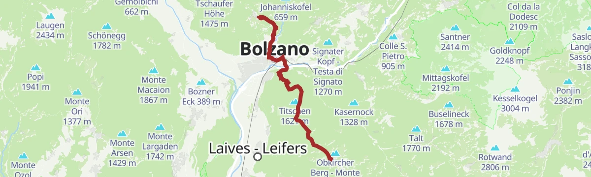
Open route Sterzing, Pfitsch und FreienfeldJenesien
9.3 km away, in San Genesio Atesino/Jenesien
A long stage from Jenesien down through Bozen and up to Kohlern, then across the Regglberg plateau to Deutschnofen, facing the Dolomites.
- 23.7 km
- Distance
- 1 340 m
- Ascent
- 8 h 54 min
- Duration
- 29
- Check-ins
Knottnkino³
2.5 km away, in Verano/Vöran
A theme route over the three red porphyry knolls above Verano, each fitted with seating by the architects Verena and David Messner as an open-air cinema.
- 11.5 km
- Distance
- 398 m
- Ascent
- 3 h 41 min
- Duration
- 53
- Check-ins
- Beimsteinknott 1 331 m
- Rotensteinkogel 1 481 m
- Eggerhof 1 273 m
- Café Sunnseit 1 179 m
- Rotsteinhof 1 355 m
- Alber 1 190 m
- +3
Open route Partschins - Rabland - Töll
No routes of this kind in Meltina/Mölten yet.
The region's own picks

Featured route
Escursione agli Omini di Pietra
A climb from Meltina to the Stoanerne Mandln, a ridgetop group of stone cairns used as a sacred site since Celtic times.
Planning a trip to Meltina/Mölten?
Everything else Trentino-Alto Adige/Südtirol has, in one place


Take Meltina/Mölten with you into the mountains
Every route on this page with 3D terrain, GPX navigation and offline maps — including the valleys with no signal.
Data sources
- Official website: suedtirol.info ↗
- Routes and highlights: Sterzing, Pfitsch und Freienfeld, Partschins - Rabland - Töll, Italia.it, E5 Alps Crossing, YesAlps, APT Val di Non
- Published as open data by the tourist boards named above.
- Region summary generated from the board's own material.
