
 Mountain hut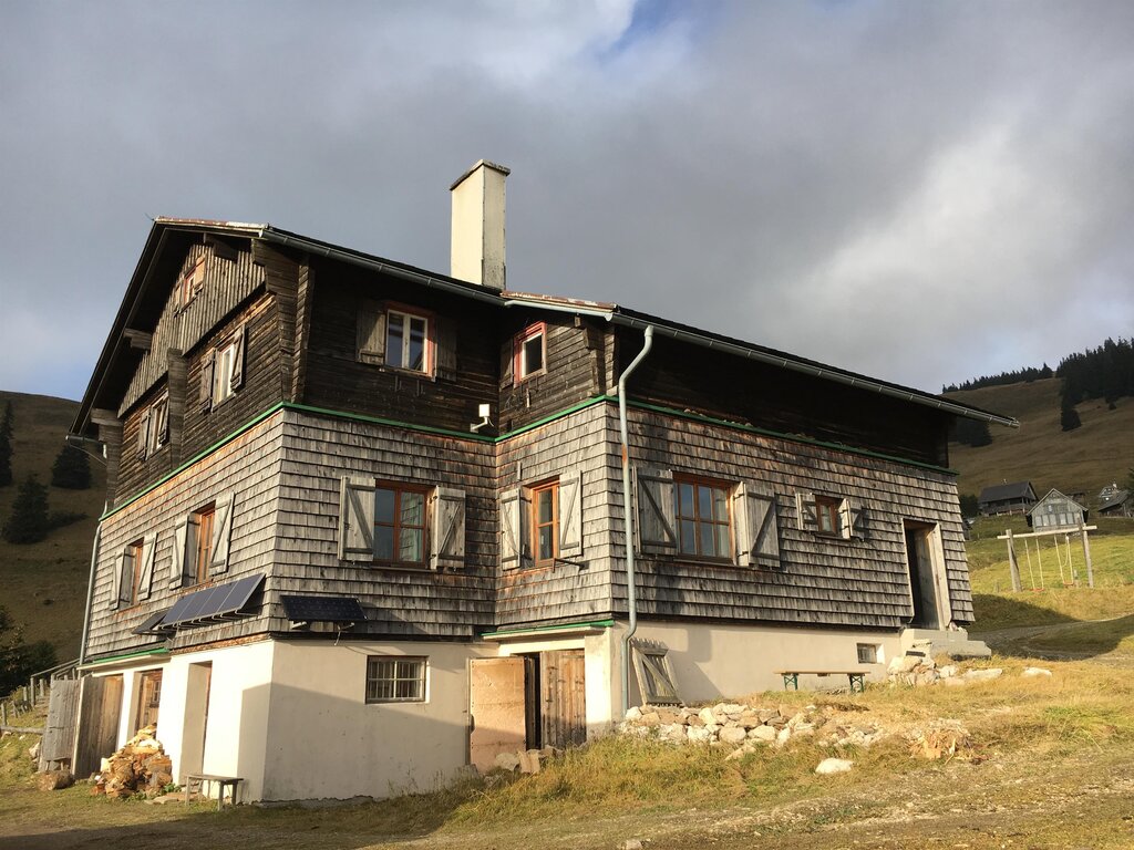





 Summit
Pöstlingberg
via OÖ Mariazellerweg: A: Klassischer OÖ Mariazellerweg über Steyr und Waidhofen an der Ybbs
Curated by Ybbstaler Alpen
Austria's foremost pilgrimage town at 868 m in the wooded hills of the northern Obersteiermark near the Lower Austrian border, and the largest municipality by area in the state.
Photo: C.Stadler/Bwag licence
4 from neighbouring places
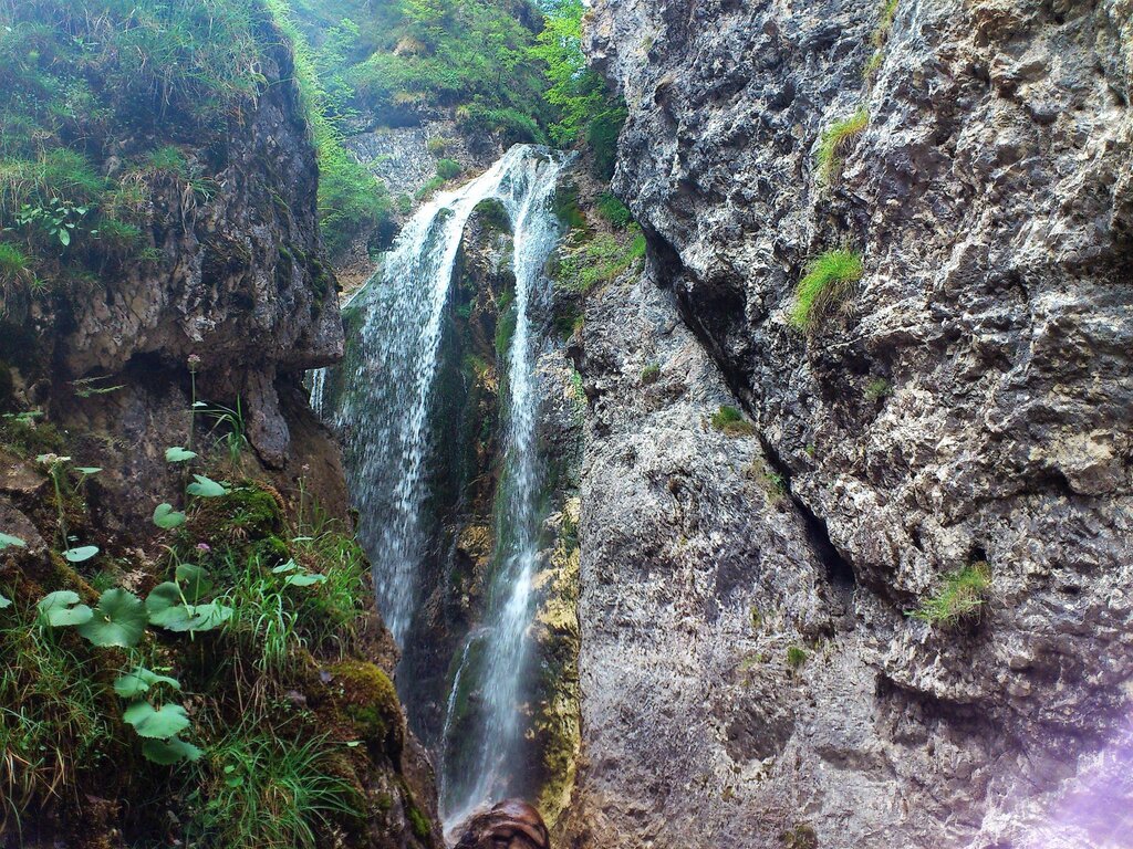
A waterfall west of Mariazell in the Halltal, long visited by pilgrims travelling to the basilica.
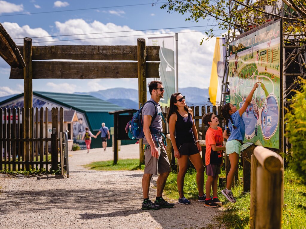
An open-air site near Mariazell about the Holzknechte, the forest workers who once cut timber in these valleys.
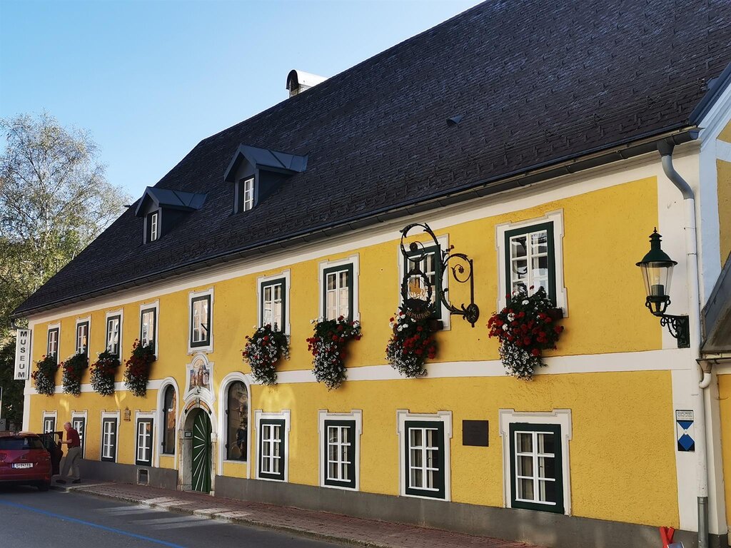
The local heritage museum of Mariazell, covering the history of the pilgrimage town and its surroundings.
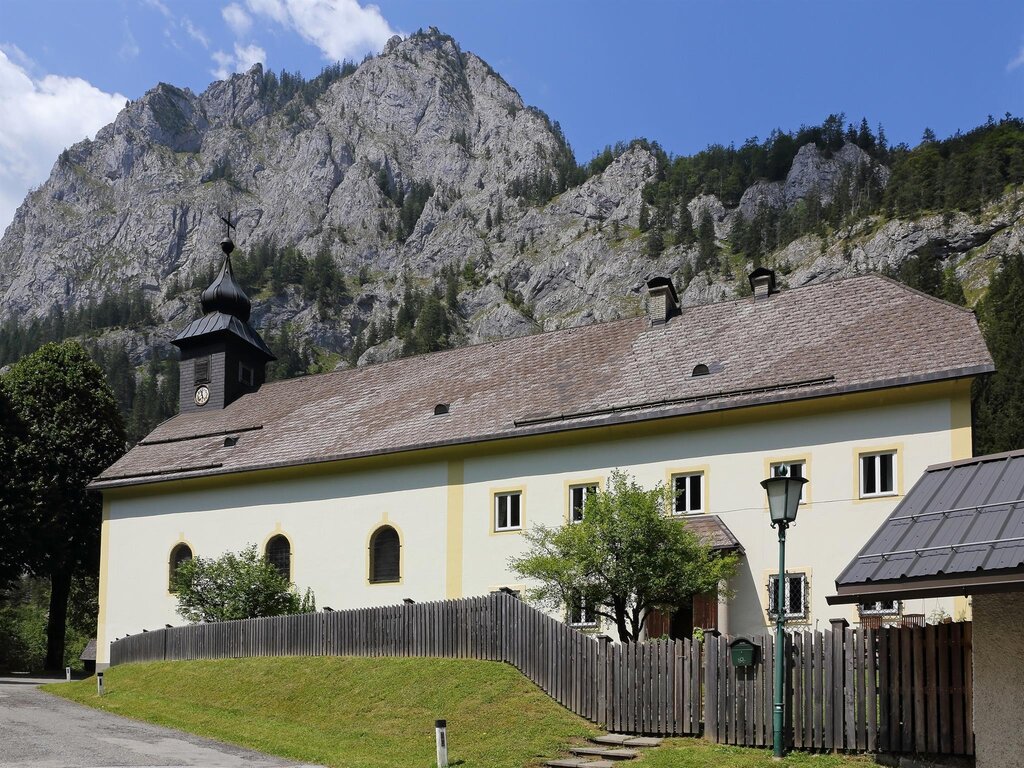
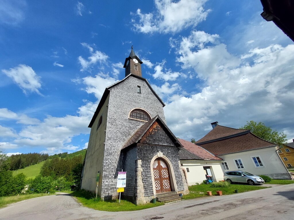
The village church of Weichselboden, in the Salza valley west of Mariazell in Styria.
12.3 km away, in Gaming
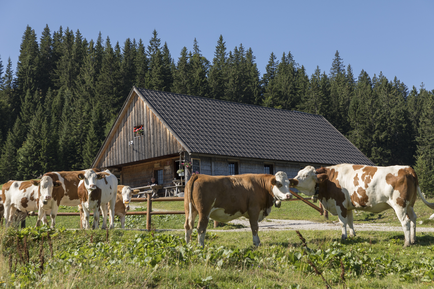
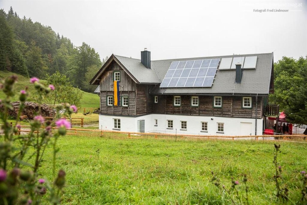
An alpine pasture hut on the Feldwies above Gaming, open to walkers only while the cattle are up on the alm.
12.7 km away, in Turnau
A hut on the Turnaueralm above Turnau in Styria, serving walkers and cross-country skiers.
12.9 km away, in Mitterbach am Erlaufsee
An inn in the Ötschergräben below the Ötscher, a stop on the gorge walk that starts at Wienerbruck.
14.6 km away, in Mitterbach am Erlaufsee
A church on the Josefsberg pass between Annaberg and Mariazell, long a station on the pilgrims' route.
Nothing of this kind in Mariazell.
3 from neighbouring places
A 5.1 km climb of 354 m from the Zellerrain up to the Grubenmauer, with the Halterhütte auf der Brach on the way.
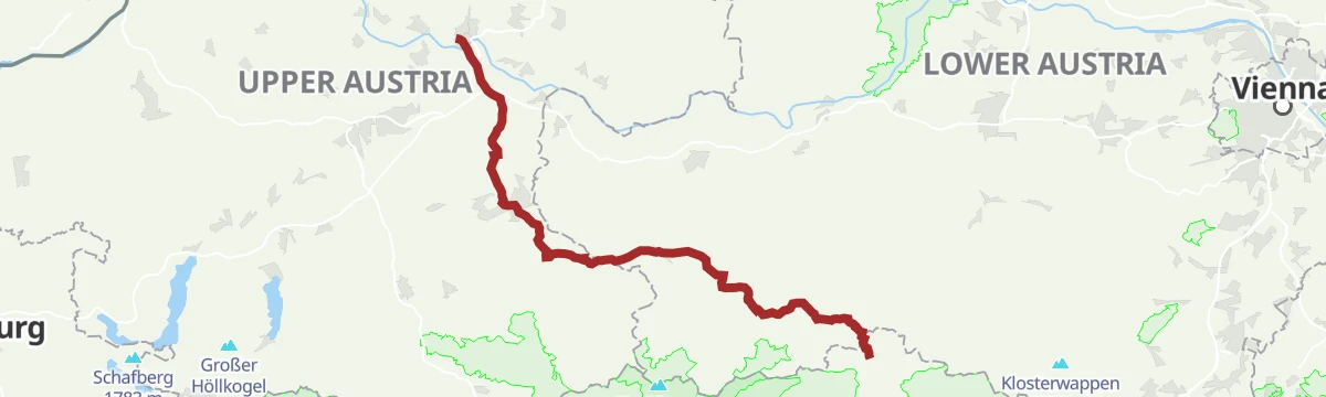
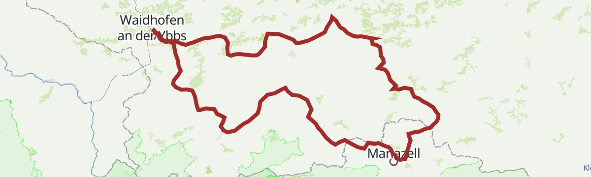
The classic Upper Austrian pilgrim way to Mariazell, leading from Linz by way of Steyr and Waidhofen an der Ybbs on mostly gentle ground.
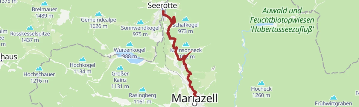
A short pilgrim-route circuit near Mariazell taking in the Hubertussee in the Walstertal, with under 200 m of climbing.
A round in the pass country of the Zellerrain between the Ybbstal and Mariazell, with close to 900 m of climbing.
A long valley route from the Danube at Traismauer up the Traisen to Mariazell, crossing the Kernhofer Gscheid at 970 m near the head.
The eighth stage of the Upper Austrian pilgrim route to Mariazell, 7.7 km from Mitterbach with 250 m of ascent to finish in the town.
The sportier variant of the Upper Austrian pilgrim way to Mariazell, leaving Linz on a hillier line with close to 1,000 m of climbing.
A ride from the Danube plain into the mountains, following the Traisen upstream past Kreisbach and Traisen and over the Kernhofer Gscheid.
A 10.7 km walk up from the Zellerrain to the Feldwiesalm above Mariazell, gaining 392 m and passing the Notlager shelter on the way.
12.9 km away, in Mitterbach am Erlaufsee
A 24.5 km stage over the Ötscher and the Herrenstand, taking in the Ötscherschutzhaus and the Riffelsattel before the Schutzhaus Vorderötscher.
9.7 km away, in Gaming
A 9.4 km walk from Taschelbach up to the Feldwiesalm near the Zellerrain pass, with 339 m of ascent.
10.5 km away, in Mitterbach am Erlaufsee
From the Terzerhaus at the top of the Gemeindealpe, 14.4 km with 409 m of ascent leads over the Grubenmauer and down by the Schutzhaus Vorderötscher.
No routes of this kind in Mariazell yet.
Summit
via OÖ Mariazellerweg: A: Klassischer OÖ Mariazellerweg über Steyr und Waidhofen an der Ybbs

Featured route
A 5.1 km climb of 354 m from the Zellerrain up to the Grubenmauer, with the Halterhütte auf der Brach on the way.
Everything else Styria has, in one place
Every route on this page with 3D terrain, GPX navigation and offline maps — including the valleys with no signal.


