
 Historic site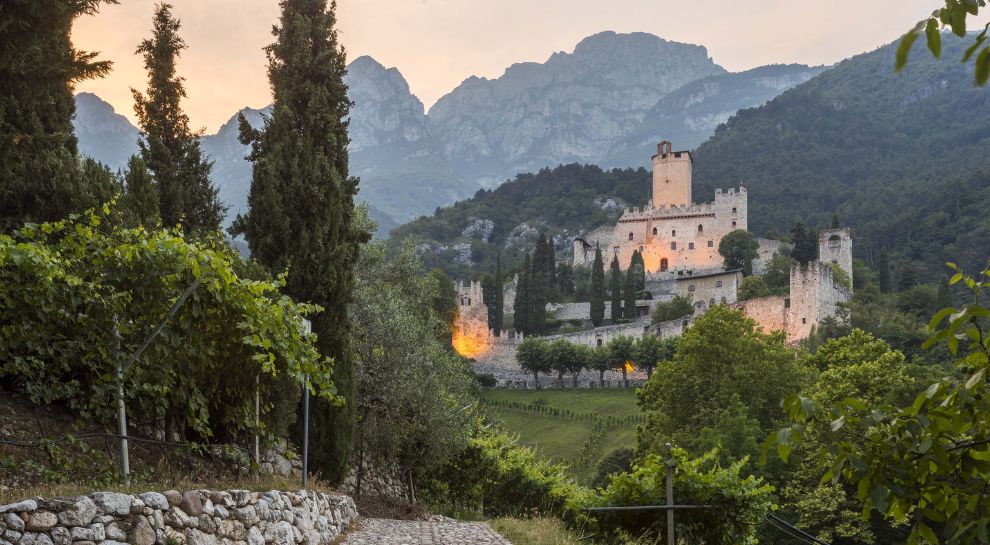


Curated by Visitrovereto
Malcesine
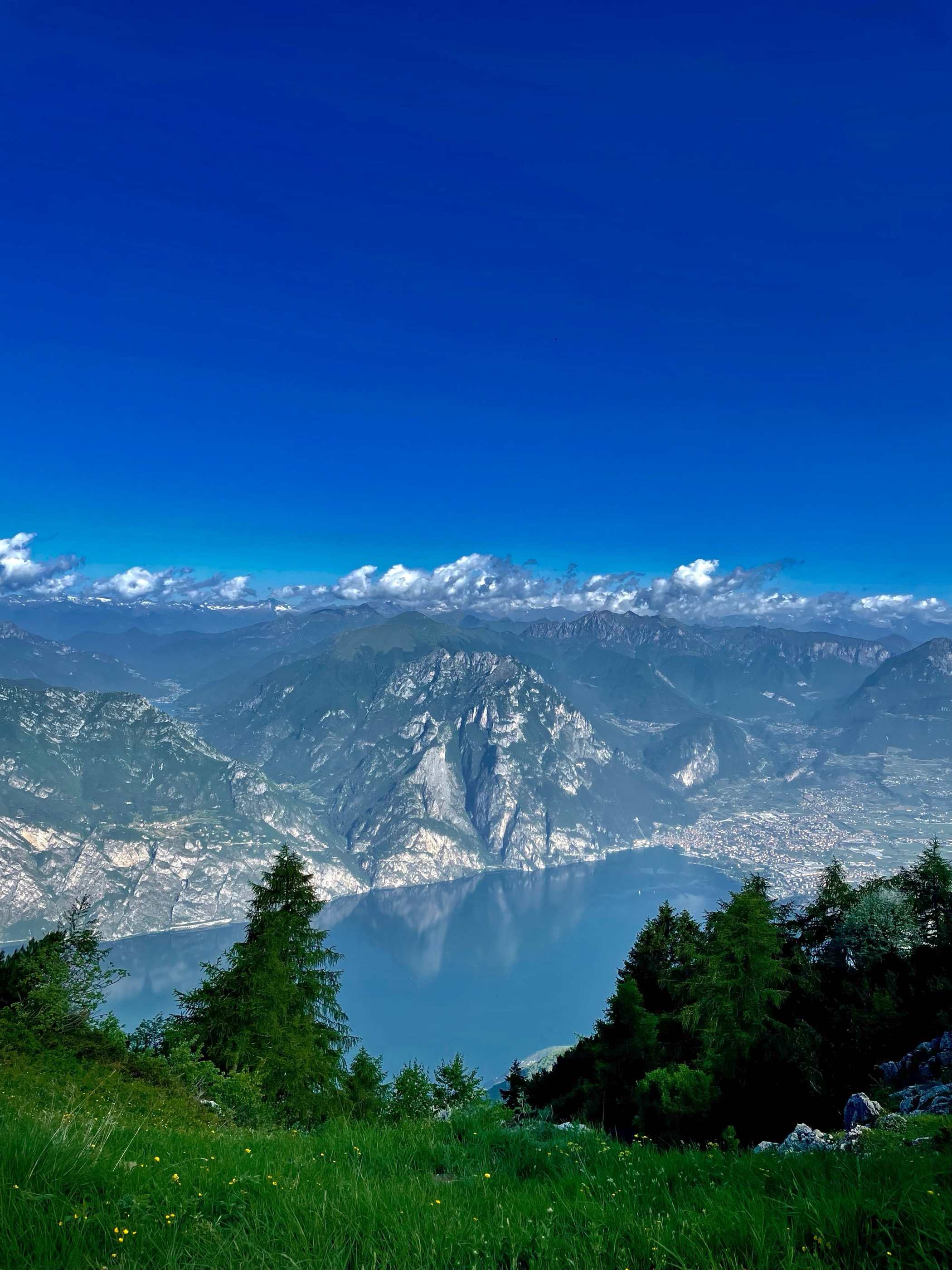
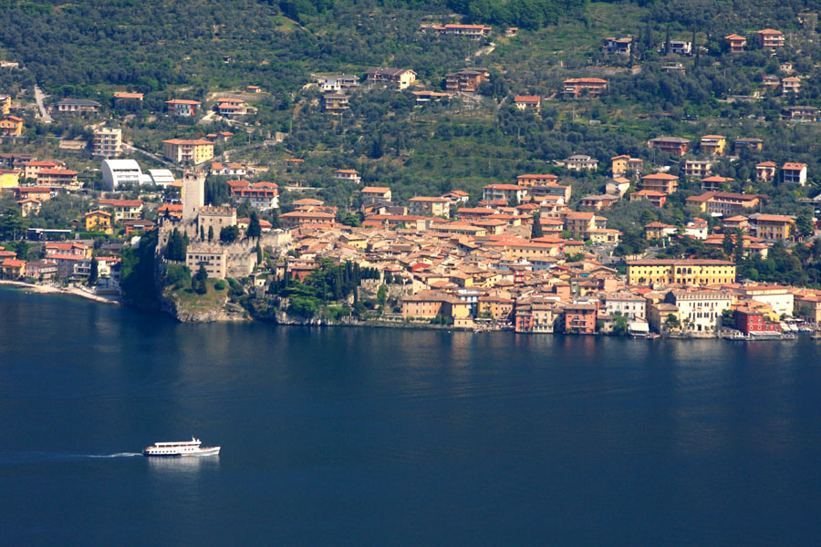
Garda town under Monte Baldo, its Scaliger castle on the water and a cable car climbing to the ridge behind.
- 15Highlights
- 10Routes
- Featured summit · Monte Altissimo di Nago
Highlights
All 15 from neighbouring places
Rifugio Monte Baldo
5.4 km away, in Avio
A hut on the Baldo ridge above Avio, looking down to Lake Garda.
Rifugio Altissimo Damiano Chiesa
6.6 km away, in Brentonico
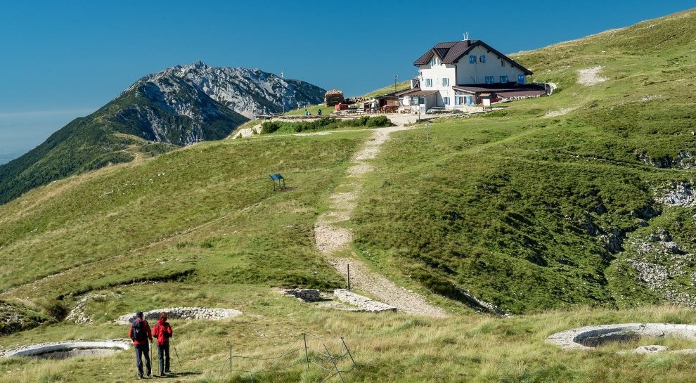
A hut just below the Altissimo di Nago, the northern summit of Monte Baldo, looking down on Lake Garda.
Baita del Trett
6.6 km away, in Brentonico
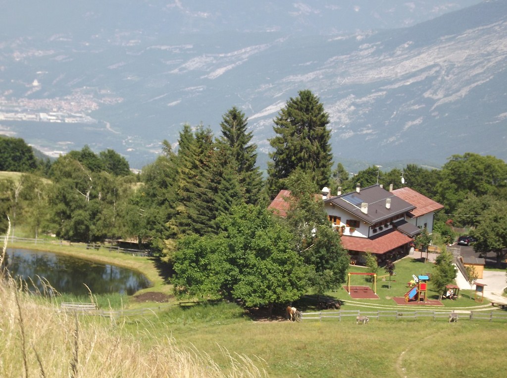
A hut on the San Valentino side of Monte Baldo, among the summer pastures.
Agritur El Casel Malga Mortigola
8.2 km away, in Brentonico
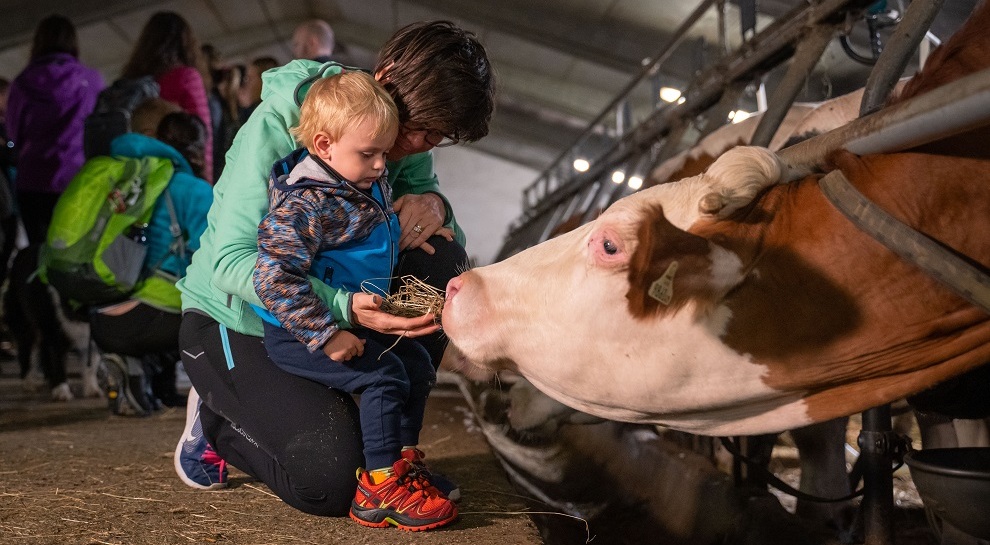
A working dairy on the Mortigola pastures of Monte Baldo, serving what it makes.
Agritur Malga Mortigola
8.5 km away, in Brentonico
A farm inn on the Baldo pastures above Brentonico, on the trails to the Altissimo.
Skill Park Polsa
8.7 km away, in Brentonico
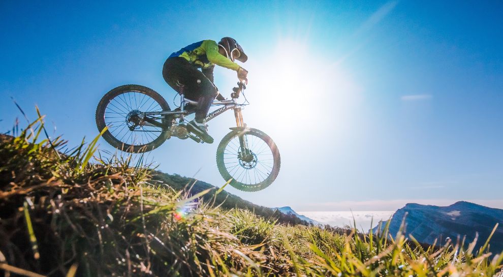
A mountain-bike skills area at Polsa on the Baldo slopes, with graded lines and jumps.
Baita Montagnola
8.9 km away, in Brentonico
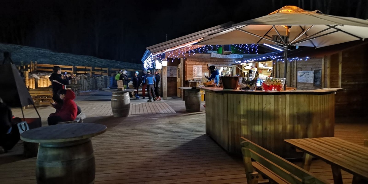
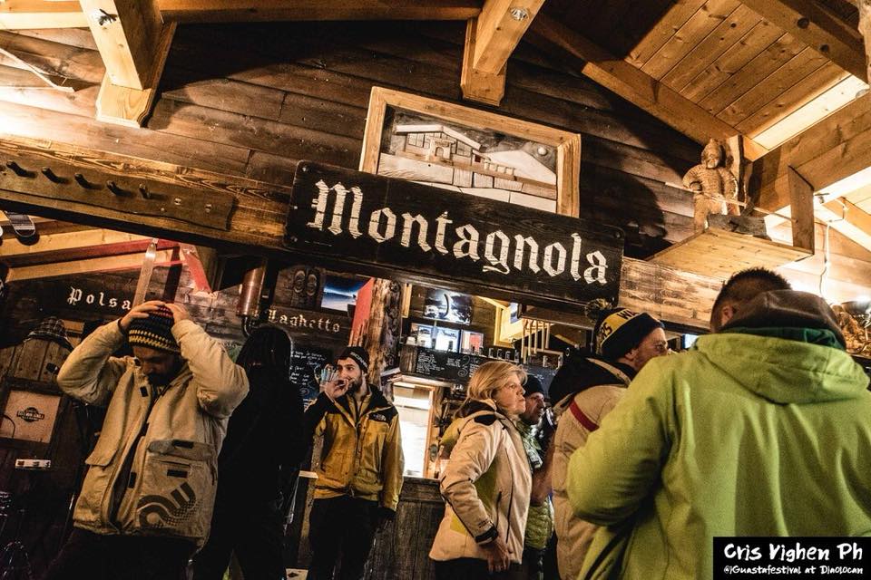
A hut on the Montagnola meadows above Brentonico, on the Baldo ski and walking trails.
Pieve di Avio
9.4 km away, in Avio
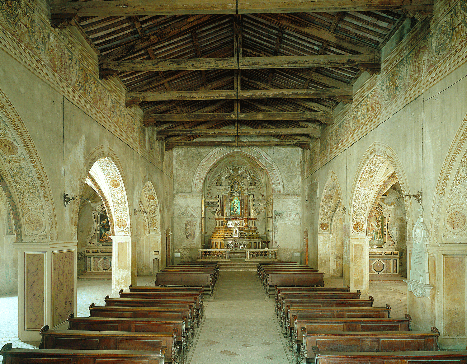
The old parish church of Avio, Romanesque in origin, on the vineyard terrace.
Casa del Vicario di Avio
9.4 km away, in Avio
The vicar's house beside the Pieve di Avio, kept with its painted rooms.
Rifugio Malga Campei
9.5 km away, in Brentonico
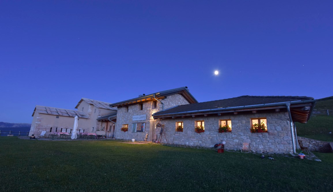
A hut on the Campei pastures of Monte Baldo, on the path from Brentonico to the Altissimo.
Die Burg von Sabbionara d’Avio
9.7 km away, in Avio
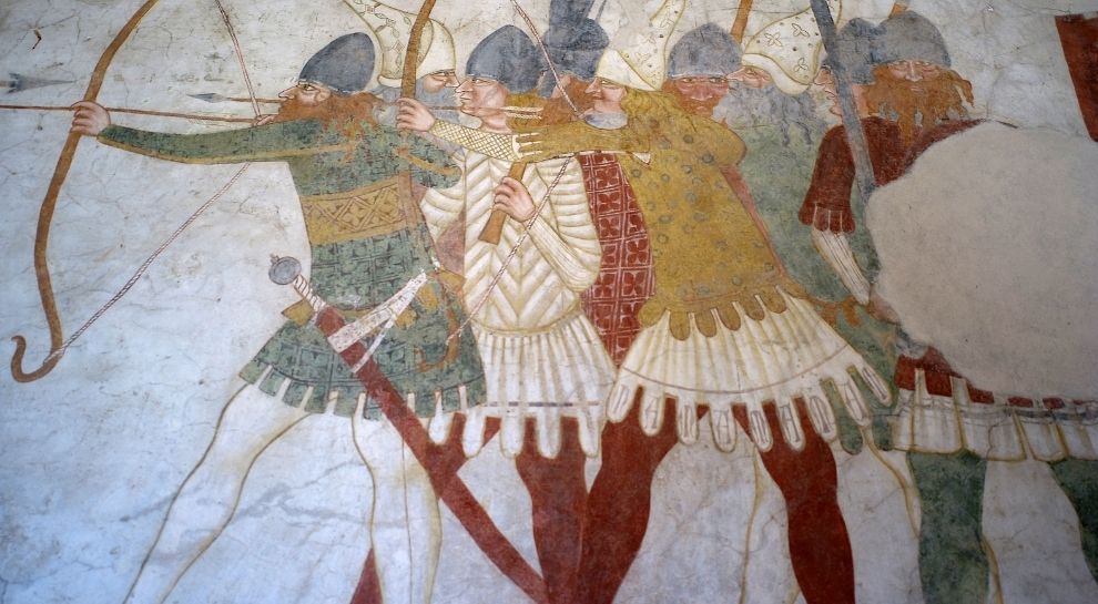
The Sabbionara castle at Avio, its guardhouse painted with fourteenth-century scenes of cavalry.
Castello di Avio
9.7 km away, in Avio
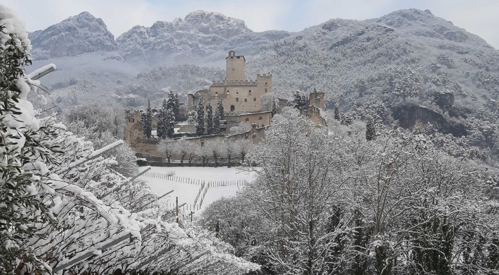
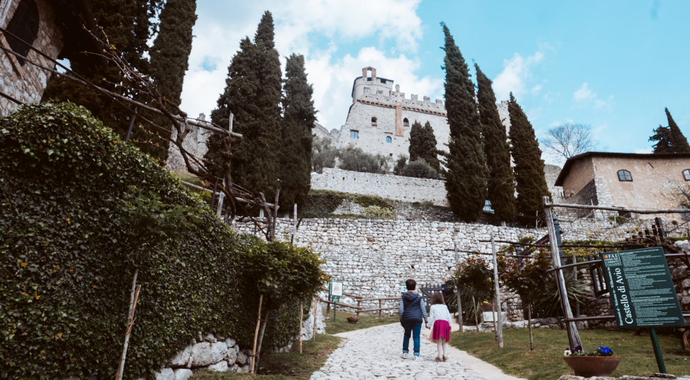
A castle above the Adige at Sabbionara, whose keep holds the finest secular medieval frescoes in the Alps.
Avio Burg für Kinder
10.4 km away, in Avio
A family route through Castel Avio, the terraced castle on the slope above Sabbionara, at the southern end of the Vallagarina.
Mulino Zeni
10.4 km away, in Brentonico
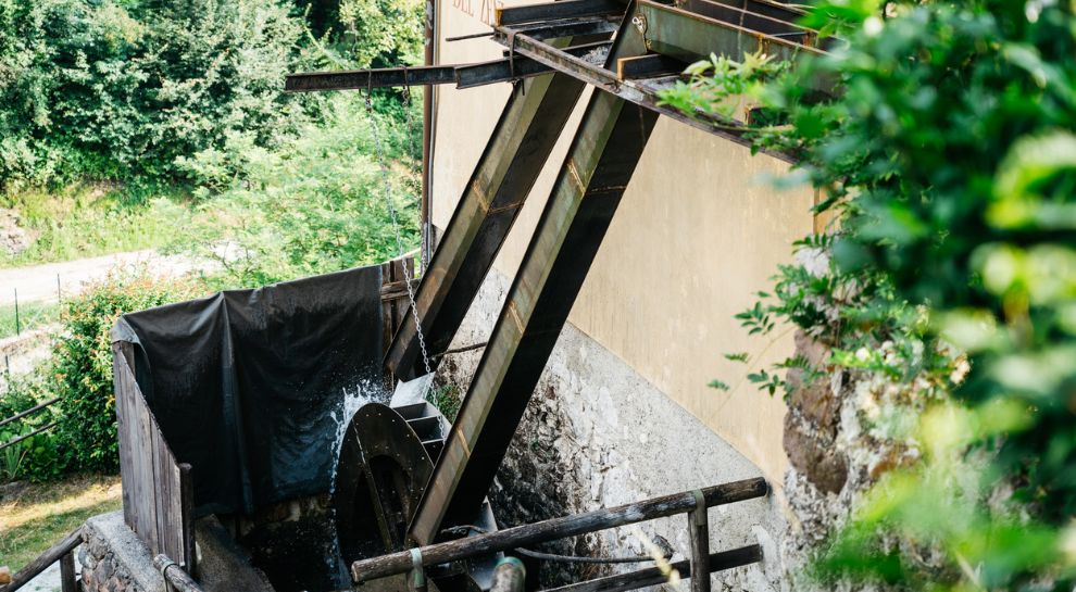
A restored watermill at Brentonico, still grinding on demonstration days.
Nothing of this kind in Malcesine.
Routes
Ventrar path
A path cut into the gullies of Monte Baldo above Malcesine, with Lake Garda below at every turn.
- 5.0 km
- Distance
- 446 m
- Ascent
- 2 h 45 min
- Duration
- 45
- Check-ins
 Baita dei Forti 1 745 m
- Ex Caserma Guardia di Finanza 1 691 m
- Malga Tratto Spino e Colma Zocchi di Sopra 1 652 m
Open route APT Rovereto Vallagarina Monte BaldoGardaTrek - Top Loop 7: Back to the water
The last stage of the GardaTrek, from the Damiano Chiesa hut along a balcony above the lake to the rotating cable car, with chamois on the walls alongside.
- 7.6 km
- Distance
- 333 m
- Ascent
- 3 h 7 min
- Duration
- 143
- Check-ins
 Monte Grande 1 779 m
- Rifugio Altissimo "Damiano Chiesa" 2 059 m
- Baita dei Forti 1 745 m
 Bocca di Navene 1 425 m
- La Capannina 1 766 m
- Bocca di Navene 1 427 m
Open route Garda TrentinoThe Baldo ridges between Altissimo and Telegrafo
A ridge traverse from the Damiano Chiesa hut on Monte Altissimo to Monte Maggiore by the Telegrafo hut, rocky and uneven in places.
- 15.6 km
- Distance
- 1 102 m
- Ascent
- 7 h 5 min
- Duration
- 315
- Check-ins
- Monte Altissimo di Nago 2 079 m
- Cima Telegrafo 2 200 m
- Cima delle Pozzette 2 132 m
- Punta Pettorina 2 192 m
- Dosso Moreont Alto 1 522 m
- Rifugio Altissimo "Damiano Chiesa" 2 059 m
- +8
Open route APT Rovereto Vallagarina Monte BaldoMonte BaldoTour
A big road day from the Garda shore onto the Baldo ridge, crossing Bocca di Navene, Bocca del Creer and the Passo di San Valentino.
- 116.8 km
- Distance
- 2 329 m
- Ascent
- 12 h 33 min
- Duration
- 457
- Check-ins
- Albergo Rifugio Graziani 1 626 m
- Bocca del Creer 1 617 m
- Bocca di Navene 1 425 m
- Malga Canalece 1 574 m
- Chalet Novezza 1 386 m
- Passo di San Valentino 1 314 m
- +23
Open route Garda TrentinoUn Balcone sul Garda
A ridge route linking Tratto Spino above Malcesine with Monte Altissimo di Nago, long enough to be split over two days.
- 17.6 km
- Distance
- 1 189 m
- Ascent
- 7 h 59 min
- Duration
- 278
- Check-ins
- Monte Altissimo di Nago 2 079 m
- Monte Grande 1 779 m
- Dosso Moreont Alto 1 522 m
- Rifugio Altissimo "Damiano Chiesa" 2 059 m
- Albergo Rifugio Graziani 1 626 m
- Bocca del Creer 1 617 m
- +5
Open route APT Rovereto Vallagarina Monte BaldoTour di Affi
A classic group-ride loop from Torbole down the Garda shore and its short tunnels, over to Costermano and back north through the Adige valley.
- 106.1 km
- Distance
- 718 m
- Ascent
- 10 h 5 min
- Duration
- 254
- Check-ins
- Tourist Information 89 m
- Tourist Information 68 m
- Soardi Center 212 m
- cappella di San Rocco 213 m
- Chiesa di Sant'Antonio 223 m
- Villa Monica 75 m
- +8
Open route Garda TrentinoFrom the Monte Baldo Cable Car to Garda | Monte Baldo - Altissimo 767
A long traverse from the Monte Baldo cable car above Malcesine to the top of Monte Altissimo, with Garda, the Brentonico plateau and the Adige valley in turn.
- 27.0 km
- Distance
- 622 m
- Ascent
- 9 h 21 min
- Duration
- 266
- Check-ins
- Dos de la Cronèla 706 m
- Rifugio Altissimo "Damiano Chiesa" 2 059 m
- Albergo Rifugio Graziani 1 626 m
- Bocca del Creer 1 617 m
- Baita dei Forti 1 745 m
- Bocca di Navene 1 425 m
- +9
Open route APT Rovereto Vallagarina Monte BaldoTour of Monte Baldo
A high traverse of the Baldo ridge by Corno della Paura, Passo di San Valentino and Bocca del Creer, ending on the balcony at Bocca di Navene.
- 84.4 km
- Distance
- 2 093 m
- Ascent
- 9 h 28 min
- Duration
- 187
- Check-ins
- Albergo Rifugio Graziani 1 626 m
- Bocca del Creer 1 617 m
- Bocca di Navene 1 425 m
- Malga Canalece 1 574 m
- Passo di San Valentino 1 314 m
- Bocca di Navene 1 427 m
- +14
Open route APT Rovereto Vallagarina Monte BaldoValentine's Day Ring - Prà Alpesina | 1950s
A long loop from the San Valentino pass under Monte Altissimo to Bocca Navene above Garda, returning by the Baldo cable car station and the meadows of Pra Alpesina.
- 20.6 km
- Distance
- 907 m
- Ascent
- 7 h 4 min
- Duration
- 201
- Check-ins
- Albergo Rifugio Graziani 1 626 m
- Bocca del Creer 1 617 m
- Baita dei Forti 1 745 m
- Passo Tratto Spino 1 760 m
- Bocca di Navene 1 425 m
- Malga Canalece 1 574 m
- +6
Open route APT Rovereto Vallagarina Monte BaldoMalcesine Panoramic Road
A road tour down the eastern side of Lake Garda from Torbole, climbing to the Campiano pass above Malcesine through its olive groves.
- 34.5 km
- Distance
- 587 m
- Ascent
- 3 h 37 min
- Duration
- 135
- Check-ins
- Tourist Information 89 m
- Tourist Information 68 m
- Villa Monica 75 m
- Villa Tempesta 76 m
- Baitone Alpino 78 m
- Passo Campiano 375 m
Open route Garda Trentino
No routes of this kind in Malcesine yet.
The region's own picks
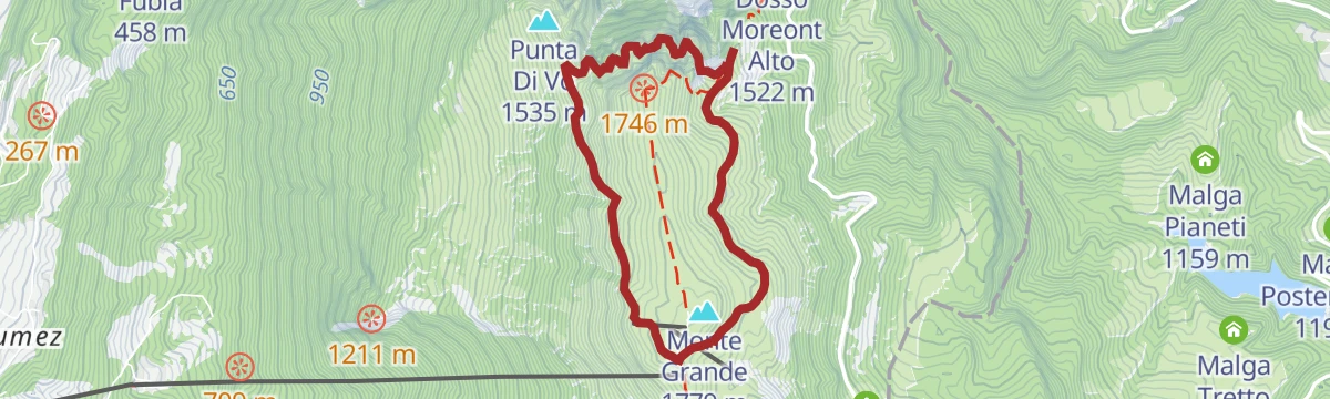
Featured route
Ventrar path
A path cut into the gullies of Monte Baldo above Malcesine, with Lake Garda below at every turn.
Planning a trip to Malcesine?
Everything else Veneto has, in one place


Take Malcesine with you into the mountains
Every route on this page with 3D terrain, GPX navigation and offline maps — including the valleys with no signal.
Data sources
- Official website: italia.it ↗
- Routes and highlights: Visitrovereto, APT Rovereto Vallagarina Monte Baldo, Garda Trentino
- Published as open data by the tourist boards named above.
- Region summary generated from the board's own material.
