


















Curated by Sterzing, Pfitsch und Freienfeld
Luson/Lüsen
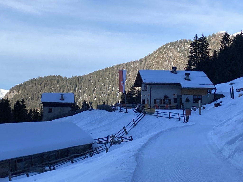
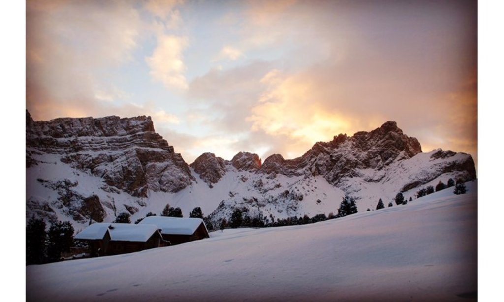
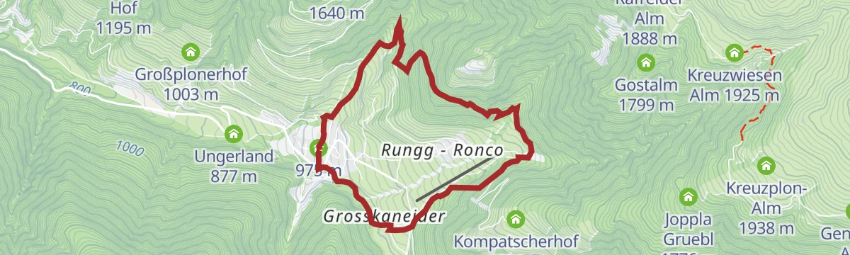
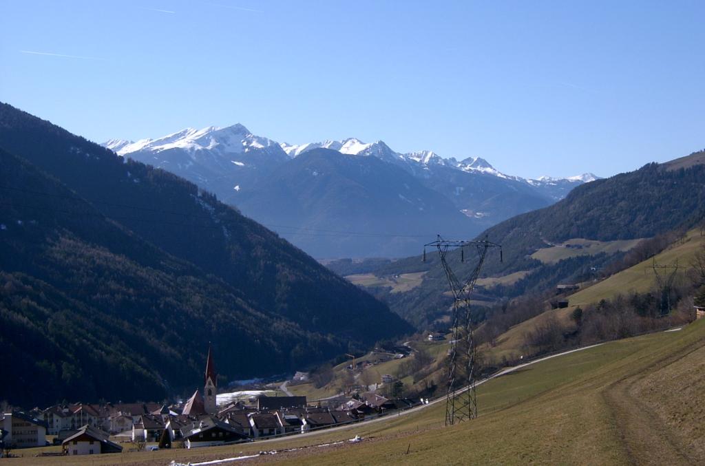
A farming valley east of Bressanone below the Monte Muro ridge, on the boundary of the Puez-Odle park.
Photo: Fedi (Christoph Federer) at de.wikipedia · CC BY-SA 3.0 licence
- 1Highlights
- 45Routes
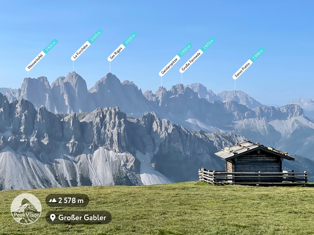
- Featured summit · Großer Gabler - Monte Forca Grande
Highlights
14 from neighbouring places
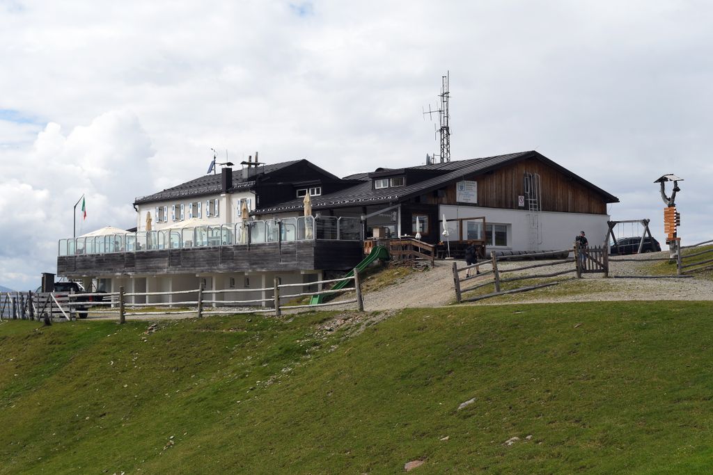
Rifugio Plose
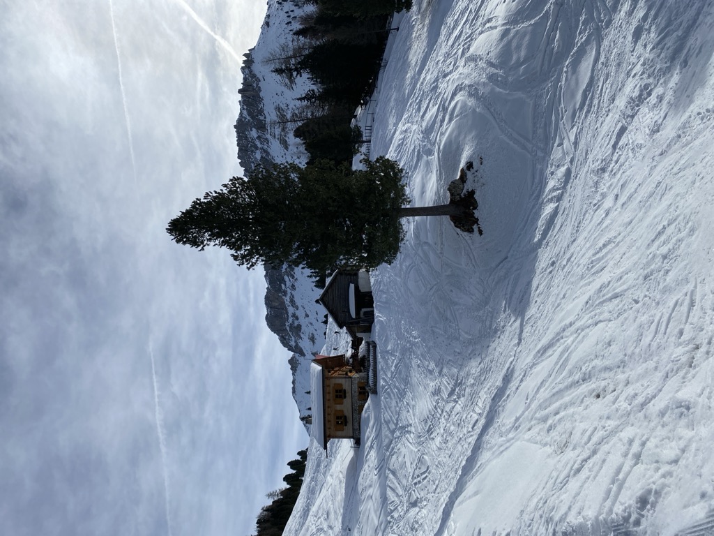
A refuge on the Plose above Luson, on the broad ridge east of Bressanone that carries the ski runs and summer paths.
Sterzing, Pfitsch und FreienfeldAlbergo Rossalm
5.5 km away, in Bressanone/Brixen
A pasture inn on the Plose above Bressanone, among the open ridge walks that run south from the Plose lifts toward the Aferer Geisler.
Rifugio Schatzerhütte
6 km away, in Bressanone/Brixen
A refuge on the wooded terraces of the Plose above Bressanone, on the traverse between the Plose slopes and the Aferer Geisler, in the Eisacktal.
Rifugio Cir
6.1 km away, in San Martino in Badia/St. Martin in Thurn
A mountain refuge in the hills above San Martino in Badia, on the Ladin side of the Val Badia.
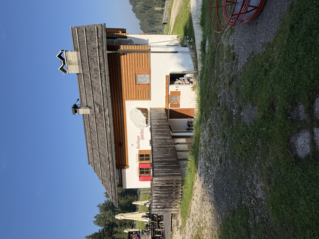
Sterzing, Pfitsch und FreienfeldAlbergo Halslhütte
6.5 km away, in Funes/Villnöß
A guest house at 1,866 m above Funes on the western edge of the Puez-Odle park, its kitchen known for stew and dumplings, game, and Kaiserschmarrn.
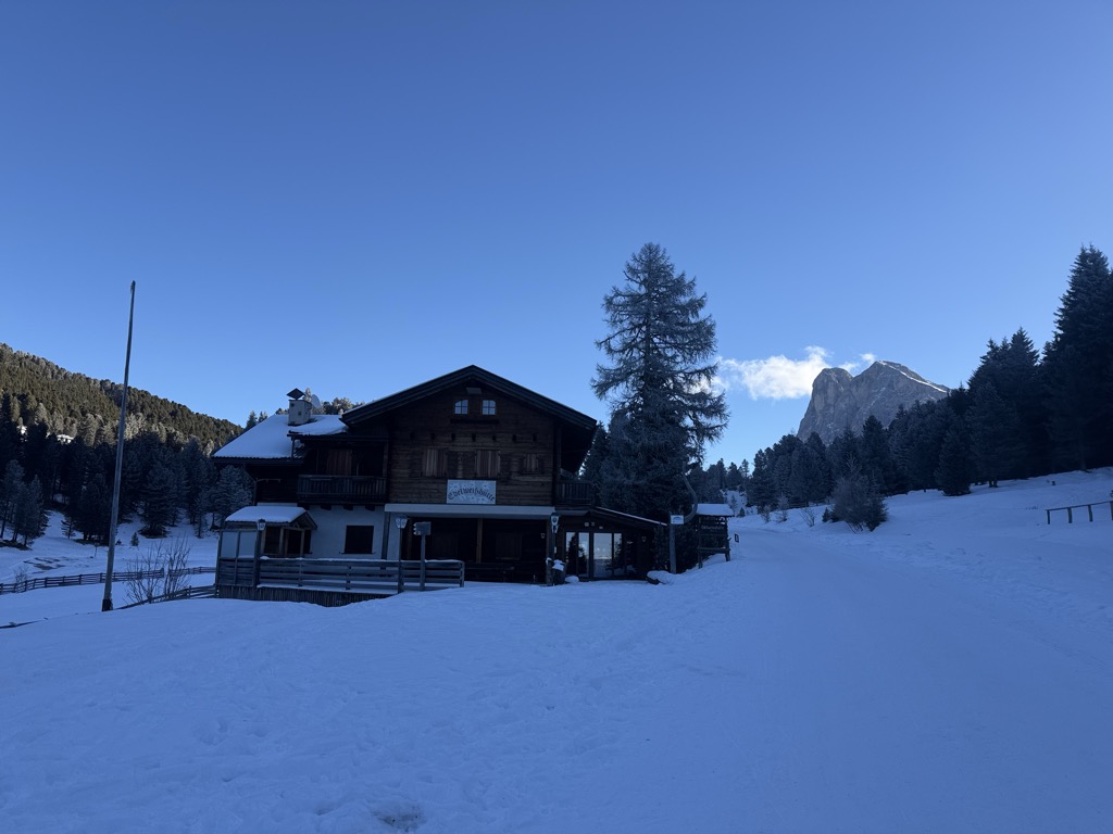
Edelweißhütte
6.5 km away, in Funes/Villnöß
A hut at 1,841 m at the foot of the Sass de Putia, standing directly on the road over the Passo delle Erbe above Funes.
Halslhütte
6.5 km away, in Funes/Villnöß
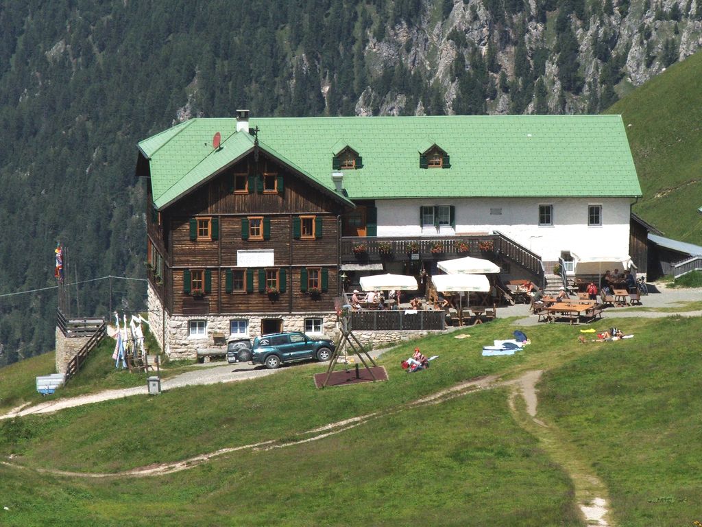
A Tyrolean mountain inn at 1,866 m above Funes, with terrace, garden and playground, on the way from S. Maddalena over the Halsl to the Passo delle Erbe.
Göma
7.4 km away, in San Martino in Badia/St. Martin in Thurn
A dairy hut on the pastures above San Martino in Badia, in the Val Badia.
Sterzing, Pfitsch und FreienfeldVaciara
8.8 km away, in San Martino in Badia/St. Martin in Thurn
A pasture hut above San Martino in Badia, reached by forest track from the valley floor of the Val Badia.
Malga Kaserill
9.4 km away, in Funes/Villnöß
A pasture hut at 1,929 m above Funes with a dairy of its own, selling cheese alongside home-made cakes, yoghurt and fruit juices.
Museum Ladin Ciastel de Tor
9.9 km away, in San Martino in Badia/St. Martin in Thurn
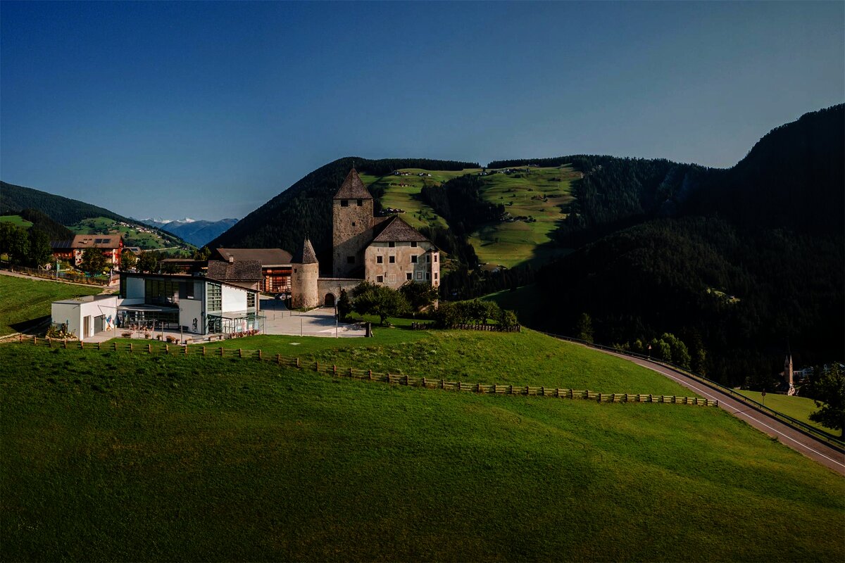
A museum in the fourteenth-century Ciastel de Tor at San Martino in Badia, opened in 2001 on Ladin language, history and geology.
Rifugio Genova
10 km away, in Funes/Villnöß
A hut at 2,306 m above Funes in the Puez-Odle park, on the Alta Via delle Dolomiti n. 8 and the climb to the Sass de Putia, open mid-June to mid-October.
Malga Glatsch
10.9 km away, in Funes/Villnöß
A quiet hut at 1,906 m among the firs at the foot of the Odle above Funes, standing on the Adolf Munkel trail and cooking with herbs from its own garden.
Malga Dusler
11 km away, in Funes/Villnöß
A pasture hut at 1,800 m above Funes looking across to the Odle, on the Geisler circular hike, its menu built on the local Tyrolean kitchen.
Sterzing, Pfitsch und FreienfeldÜtia Ciampcios
11.7 km away, in San Martino in Badia/St. Martin in Thurn
A Ladin ütia above the side valley of Longiarù, in the comune of San Martino in Badia, on the walking paths towards the Puez-Odle park.
Sterzing, Pfitsch und Freienfeld
Nothing of this kind in Luson/Lüsen.
Routes
From parking slot Kalkofen to Würzjoch
A short climb from the Kalkofen car park to the Würzjoch pass, under the tower of the Sass de Putia.
- 2.7 km
- Distance
- 286 m
- Ascent
- 1 h 13 min
- Duration
- 123
- Check-ins
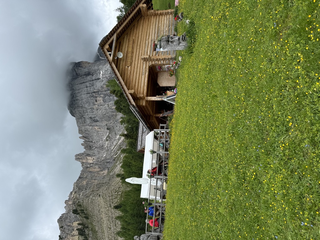
 Jü de Börz - Würzjoch - Passo delle Erbe 1 987 m
 Ütia de Börz - Würzjochhütte 2 007 m
- Kalkofenhütte - Baita Kalkofen 1 708 m
Open route VillnössThree Summits Tour on the Plose above Bressanone/Brixen
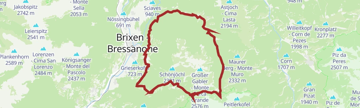
A hike on the Plose above Brixen taking in three summits: the Große Gabler, the Telegraph and the Pfannspitz.
- 14.2 km
- Distance
- 693 m
- Ascent
- 5 h 7 min
- Duration
- 175
- Check-ins
 Großer Gabler - Monte Forca Grande 2 576 m
- Telegraph - Monte Telegrafo 2 491 m
- Pfannspitz 2 545 m
- Schönjöchl 2 301 m
- Pfannspitz - Monte Fana 2 545 m
- Tatschöchl - Il Montaccio 2 444 m
- +7
Open route BrixenThree Summits Tour on the Plose above Brixen
A longer version of the Plose three-summit round above Brixen, over the Große Gabler, the Telegraph and the Pfannspitz.
- 19.8 km
- Distance
- 997 m
- Ascent
- 6 h 50 min
- Duration
- 175
- Check-ins
- Großer Gabler - Monte Forca Grande 2 576 m
- Telegraph - Monte Telegrafo 2 491 m
- Pfannspitz 2 545 m
- Schönjöchl 2 301 m
- Pfannspitz - Monte Fana 2 545 m
- Tatschöchl - Il Montaccio 2 444 m
- +7
Open route BrixenSki Tour Elle/Ellen to Cima Laste/Astjoch
A ski tour from Ellen up to the Astjoch at 2,194 m on north-facing slopes, straightforward and at its best after fresh powder.
- 10.5 km
- Distance
- 633 m
- Ascent
- 630 m
- Descent
- 3 h 24 min
- Duration
- 83
- Check-ins
- Astjoch - Cima Lasta 2 194 m
- Starkenfeldhütte - Rifiugio Starkenfeld 1 939 m
- Walder Alm 1 908 m
- Einhäuserer Alm 2 117 m
 Jochlacke 2 064 m
- Ewigkeit-Schupfe 1 917 m
- +1
Open route KiensAlpine Magic: Biking across the Rodenecker-Lüsner Alp
A short ride across the Rodengo and Luson alp, by the Starkenfeld hut and the Zumis lookout.
- 5.8 km
- Distance
- 207 m
- Ascent
- 38 min
- Duration
- 20
- Check-ins
Open route Gitschberg - JochtalFrom Lüsen around the Plose-Massive
A full circuit of the Plose from Luson, over the Passo Eores at 1,863 m by the Halslhütte and back down the Hintere Lüsnertal.
- 46.2 km
- Distance
- 1 422 m
- Ascent
- 5 h 27 min
- Duration
- 70
- Check-ins
- Gasthaus Halslhütte 1 866 m
- Rodelalm 1 874 m
- Passo Eores (Halsl) 1 863 m
- Edelweißhütte 1 841 m
- Goller 1 310 m
- Zimmerer 1 596 m
- +12
Open route VillnössBiketour - Lüsen, Petschied, old craftmen's zone, swimming pond
A short family tour above Luson taking in the Nikolauskirchl, the old craftsmen's quarter at Petschied and the village swimming pond.
- 8.0 km
- Distance
- 179 m
- Ascent
- 53 min
- Duration
- 3
- Check-ins
Open route VillnössFrom Lüsen to the Ju de Börz
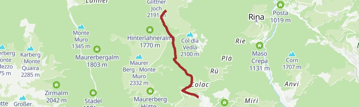
A steep climb from Luson up to the Passo delle Erbe at 1,987 m, finishing at the Ütia de Börz just above the saddle.
- 14.7 km
- Distance
- 1 023 m
- Ascent
- 1 h 55 min
- Duration
- 175
- Check-ins
- Jü de Börz - Würzjoch - Passo delle Erbe 1 987 m
- Ütia de Börz - Würzjochhütte 2 007 m
- Ütia Cir 2 005 m
- Stadel 1 571 m
- Grünfelder 1 005 m
- Imkerei Mair Martin 1 003 m
- +1
Open route VillnössMountain Pasture Walk to Ronerhütte Hut on the Rodengo|Rodeneck – Luson|Lüsen Alpine Pasture
An easy walk over the mountain pastures to the Ronerhütte, starting near the Zumisalm with wide views from the Zumis lookout.
- 6.3 km
- Distance
- 217 m
- Ascent
- 2 h 2 min
- Duration
- 17
- Check-ins
Open route Valle Isarco - EisacktalThe Three-Peaks Tour on the Plose near Brixen
A round of the Große Gabler, the Telegraph and the Pfannspitz on the Plose, the mountain above Brixen in the Eisack valley.
- 12.9 km
- Distance
- 755 m
- Ascent
- 5 h 17 min
- Duration
- 165
- Check-ins
- Großer Gabler - Monte Forca Grande 2 576 m
- Telegraph - Monte Telegrafo 2 491 m
- Pfannspitz 2 545 m
- Pfannspitz - Monte Fana 2 545 m
- Rossalm 2 186 m
- Plosehütte - Rifugio Plose 2 452 m
- +4
Open route Valle Isarco - EisacktalGlittner Lake and Maurerberg circular trail
A round from Antermoia by the Rina dairy to the small Rina lake, then past Monte Muro and its hut, returning by way of Pe de Börz.
- 17.7 km
- Distance
- 1 059 m
- Ascent
- 7 h 20 min
- Duration
- 117
- Check-ins
- Maurer Berg - Monte Muro 2 332 m
- Col dal Lé 2 175 m
- Alfreider Joch - Giogo d'Alfarei 2 285 m
- Ju da Val 2 217 m
- Maurerberg Hütte - Rifugio Monte Muro 2 130 m
- Welschellner Alm - Malga Munt da Rina 1 947 m
- +3
Open route San Vigilio DolomitesSki tour alla Cima Lasta
A winter ski ascent from the hamlet of Elle to Cima Lasta at 2,194 m, on northern slopes and best done between December and April.
- 10.2 km
- Distance
- 630 m
- Ascent
- 622 m
- Descent
- 3 h 19 min
- Duration
- 83
- Check-ins
- Astjoch - Cima Lasta 2 194 m
- Starkenfeldhütte - Rifiugio Starkenfeld 1 939 m
- Walder Alm 1 908 m
- Einhäuserer Alm 2 117 m
- Jochlacke 2 064 m
- Ewigkeit-Schupfe 1 917 m
- +1
Open route Sterzing, Pfitsch und FreienfeldBike Round on the Rodenecker und Lüsen Alps Pastures
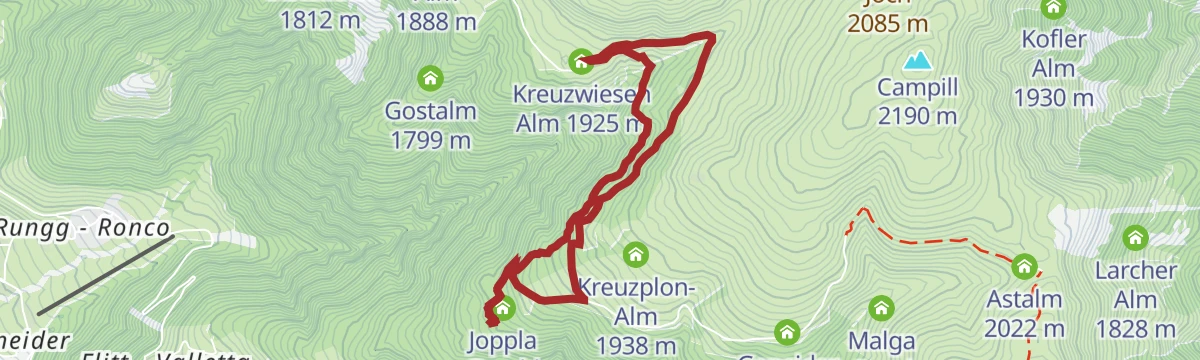
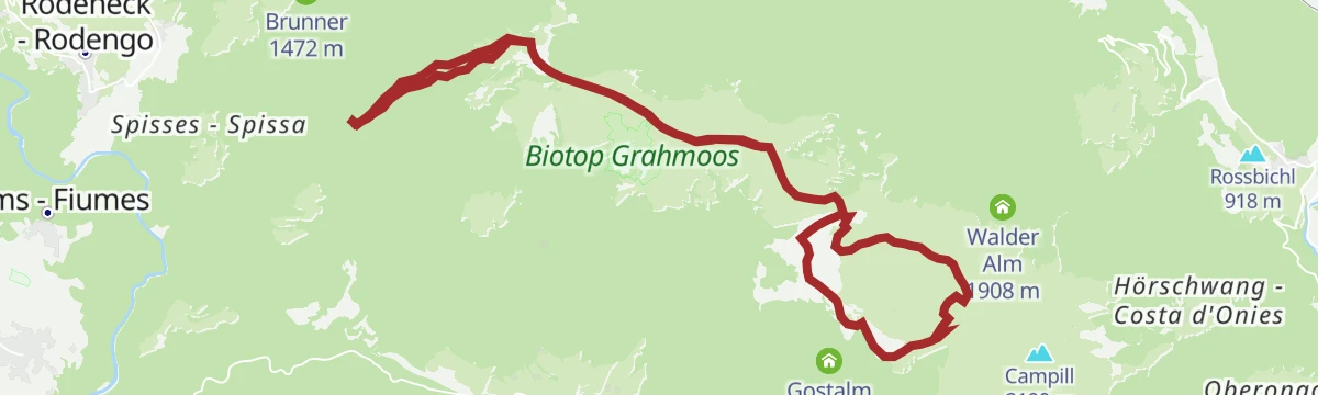
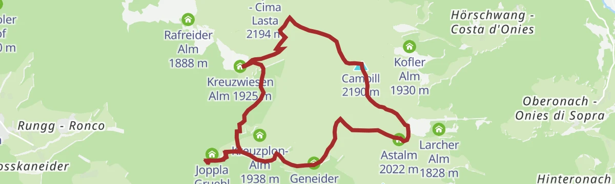
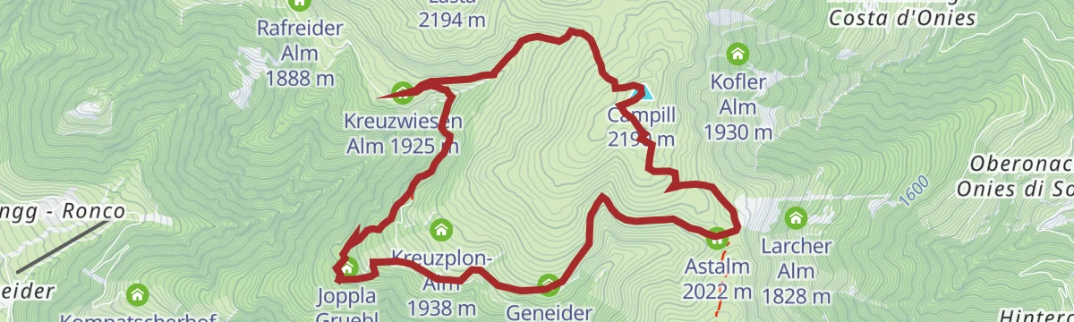
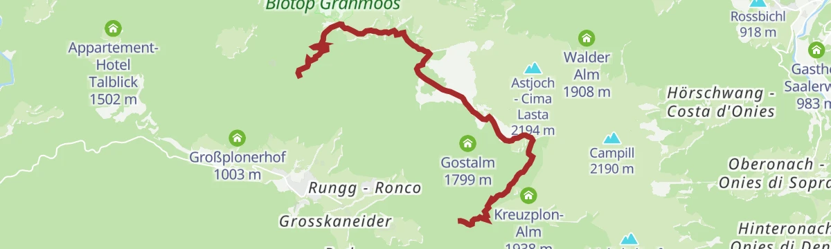
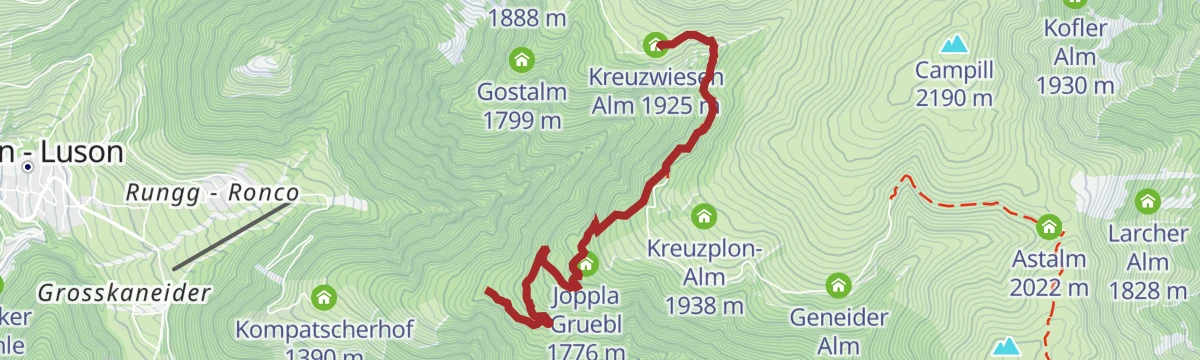
A climb from the village of Lüsen onto the Rodenecker and Lüsner Alm, reaching the Kreuzwiesen Alm and the Starkenfeldhütte near 1,940 m.
- 29.2 km
- Distance
- 1 327 m
- Ascent
- 3 h 42 min
- Duration
- 40
- Check-ins
- Starkenfeldhütte - Rifiugio Starkenfeld 1 939 m
- Kreuzwiesen Alm 1 925 m
- Joppla Gruebl 1 776 m
- Kompatscherhof 1 390 m
- Ungerland 877 m
- Ledererin 1 897 m
- +5
Open route VillnössZur Kreuzwiesenhütte auf der Lüsner Alm
An easy walk onto the Luson alp to the Kreuzwiesen hut, a dairy standing on the open pastures above the valley.
- 5.2 km
- Distance
- 245 m
- Ascent
- 1 h 49 min
- Duration
- 17
- Check-ins
Open route Valle Isarco - EisacktalFrom parking slot Stadl to Würzjoch
A climb from the Stadl car park in the Luson valley up to the Würzjoch pass below the Peitlerkofel.
- 4.5 km
- Distance
- 462 m
- Ascent
- 1 h 59 min
- Duration
- 124
- Check-ins
- Jü de Börz - Würzjoch - Passo delle Erbe 1 987 m
- Ütia de Börz - Würzjochhütte 2 007 m
- Stadel 1 571 m
Open route VillnössAstjoch
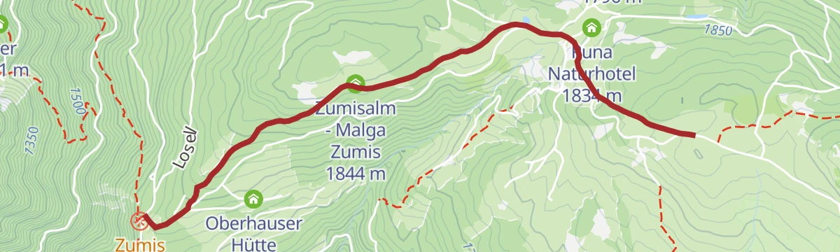
A long out-and-back from the Zumis car park across the Rodenecker-Lüsner Alm, passing the Rastnerhütte and the Starkenfeldhütte to a summit cross.
- 21.6 km
- Distance
- 620 m
- Ascent
- 6 h 35 min
- Duration
- 112
- Check-ins
- Astjoch - Cima Lasta 2 194 m
- Starkenfeldhütte - Rifiugio Starkenfeld 1 939 m
- Rastnerhütte 1 903 m
- Runa Naturhotel 1 834 m
- Zumisalm - Malga Zumis 1 844 m
- Einhäuserer Alm 2 117 m
- +2
Open route Gitschberg - JochtalLüsner Mountain Range
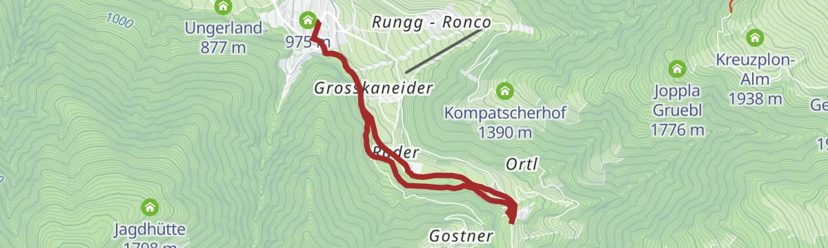
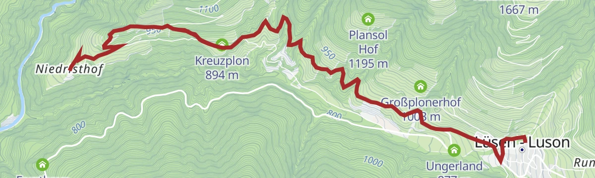
A climb out of the Luson valley onto the Lüsner ridge, reaching the Oberhauser Hütte at 1,725 m by way of the Gasthof Tulper.
- 24.5 km
- Distance
- 1 124 m
- Ascent
- 3 h 14 min
- Duration
- 7
- Check-ins
- Oberhauser Hütte 1 725 m
- Gasthof Tulper 1 629 m
- Ungerland 877 m
- Kreuzplon 894 m
- Sieberlechner Hof 891 m
- Appartement-Hotel Talblick 1 502 m
- +2
Open route VillnössCreation trail at the Alp of Rodeneck and Lüsen
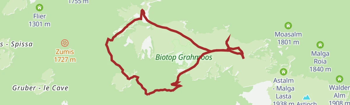
A short and easy themed path above the Zumisalm on the Rodeneck-Lüsen alp, given over to reflection on nature and creation.
- 3.2 km
- Distance
- 173 m
- Ascent
- 1 h 1 min
- Duration
- 5
- Check-ins
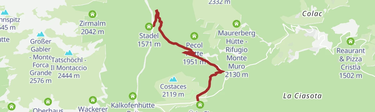
Open route Gitschberg - JochtalVon Lüsen über die Pecolhütte zum Maurerberg
A climb from Luson by the Pecol hut to Monte Muro, crossing the Alfarei saddle on the ridge towards the Badia valley.
- 11.8 km
- Distance
- 773 m
- Ascent
- 5 h 13 min
- Duration
- 80
- Check-ins
- Maurer Berg - Monte Muro 2 332 m
- Alfreider Joch - Giogo d'Alfarei 2 285 m
- Maurerberg Hütte - Rifugio Monte Muro 2 130 m
- Pecol Hütte 1 951 m
- Stadel 1 571 m
Open route Valle Isarco - EisacktalCima Lasta
A full day on the Alpe di Rodengo e Luson, following the waymarked trails past the Rastnerhütte and the malga Astalm up to the cross on top.
- 21.8 km
- Distance
- 620 m
- Ascent
- 6 h 39 min
- Duration
- 112
- Check-ins
- Astjoch - Cima Lasta 2 194 m
- Starkenfeldhütte - Rifiugio Starkenfeld 1 939 m
- Rastnerhütte 1 903 m
- Runa Naturhotel 1 834 m
- Zumisalm - Malga Zumis 1 844 m
- Einhäuserer Alm 2 117 m
- +2
Open route Sterzing, Pfitsch und FreienfeldLüsner Panoramaweg Panoramic Trail
An easy path along the sunny southern side of the Luson valley, giving unusual angles on the valley and the ranges around it.
- 6.9 km
- Distance
- 291 m
- Ascent
- 2 h 19 min
- Duration
- 2
- Check-ins
Open route BrixenSummer hike: Antermoia - Alfarëi - Forcella de Lijun - Monte Muro - Antermoia
From Antermoia by Alfarëi and trail 20b to the Luson pass, then trail 1A to the 2,328 m top of Monte Muro and its inn.
- 11.4 km
- Distance
- 813 m
- Ascent
- 5 h 22 min
- Duration
- 78
- Check-ins
- Maurer Berg - Monte Muro 2 332 m
- Alfreider Joch - Giogo d'Alfarei 2 285 m
- Ju da Val 2 217 m
- Maurerberg Hütte - Rifugio Monte Muro 2 130 m
- Lüsener Joch - Passo di Luson 2 008 m
Open route San Vigilio DolomitesDolorama 1. Stage
The opening stage of a four-day Dolomite traverse, crossing the Lüsener Joch and passing the Kreuzwiesen Alm and the Maurerberg Hütte.
- 21.5 km
- Distance
- 870 m
- Ascent
- 6 h 49 min
- Duration
- 111
- Check-ins
- Col dal Lé 2 175 m
- Maurerberg Hütte - Rifugio Monte Muro 2 130 m
- Starkenfeldhütte - Rifiugio Starkenfeld 1 939 m
- Kreuzwiesen Alm 1 925 m
- Lé da Rina - Glittnersee - Lago di Rina 2 151 m
- Lé da Tintal 2 151 m
- +6
Open route LajenWay of the Cross at the Lasankenbach in Lüsen
An easy walk along the Lasankenbach at Luson, following the stations of a way of the cross beside the stream.
- 5.5 km
- Distance
- 103 m
- Ascent
- 1 h 33 min
- Duration
- 2
- Check-ins
Open route Valle Isarco - EisacktalFrom parking slot Oberflitt to Würzjoch
A long approach from the Oberflitt car park up to the Würzjoch pass under the Sass de Putia.
- 12.7 km
- Distance
- 621 m
- Ascent
- 4 h 16 min
- Duration
- 47
- Check-ins
- Maurerberg Hütte - Rifugio Monte Muro 2 130 m
- Lüsener Joch - Passo di Luson 2 008 m
- Turnaretschhütte 2 030 m
- Falleralm 2 016 m
- Wurzer Wiese 1 762 m
- Persoweralm 1 990 m
Open route VillnössFrom Pe de Börz to Lüsen
A long crossing from Pe de Börz by the Maurerberg hut to the Lusner Joch and the Glittnerjoch, over the Campill top and down by the Kreuzwiesen alm.
- 20.7 km
- Distance
- 693 m
- Ascent
- 7 h 27 min
- Duration
- 103
- Check-ins
- Campill 2 190 m
- Glittner Joch 2 191 m
- Maurerberg Hütte - Rifugio Monte Muro 2 130 m
- Kreuzwiesen Alm 1 925 m
- Lé da Rina - Glittnersee - Lago di Rina 2 151 m
- Lé da Tintal 2 151 m
- +6
Open route VillnössHike to Ackerbodenalm on the Ploseberg
A short walk from San Leonardo onto the Plose to the Ackerboden alp, looking over the basin of Bressanone.
- 2.0 km
- Distance
- 99 m
- Ascent
- 44 min
- Duration
- 1
- Check-ins
Open route BrixenRaised bog trail - hike on the Luson Alm
A walk on the Luson alp past its raised bog, crossing the high pastures between the dairy huts.
- 11.2 km
- Distance
- 357 m
- Ascent
- 3 h 30 min
- Duration
- 41
- Check-ins
- Starkenfeldhütte - Rifiugio Starkenfeld 1 939 m
- Rastnerhütte 1 903 m
- Gasthof Tulper 1 629 m
- Ewigkeit-Schupfe 1 917 m
- Ledererin 1 897 m
Open route Valle Isarco - EisacktalFrom the Rodenecker - Lüsner Alm mountain pastures to the Astjoch ridge
A long but easy route over the Rodenecker-Lüsner Alm to the Burgstall summit, then out along the eastern flank past the Jochlacke.
- 19.9 km
- Distance
- 587 m
- Ascent
- 6 h 7 min
- Duration
- 92
- Check-ins
- Astjoch - Cima Lasta 2 194 m
- Starkenfeldhütte - Rifiugio Starkenfeld 1 939 m
- Kreuzwiesen Alm 1 925 m
- Zumisalm - Malga Zumis 1 844 m
- Jochlacke 2 064 m
- Ledererin 1 897 m
- +2
Open route BrixenCultural hike Lüsen
A village circuit at Luson past the church of St George, the pond and the old mill and sawmill the Kaserbach once drove, with a nature trail branching off.
- 3.8 km
- Distance
- 170 m
- Ascent
- 1 h 19 min
- Duration
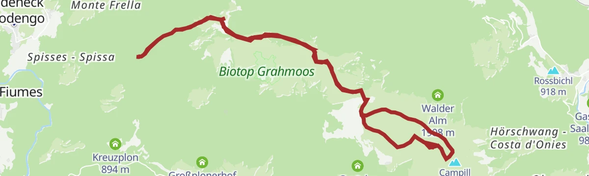
Open route VillnössAdventure at the top: Campill
A climb through conifers and the wide Luson pastures to the rounded top of the Campill at 2,190 m, also walked in winter on snowshoes.
- 9.8 km
- Distance
- 533 m
- Ascent
- 3 h 47 min
- Duration
- 32
- Check-ins
Open route VillnössHiking to the Astjoch along the Alpine Pasture Rodenecker and Lüsner Alm
A long walk across the alpine pastures of Rodengo and Luson, taking in the Kreuzwiesen Alm, the Einhäuserer Alm and the Jochlacke.
- 18.8 km
- Distance
- 579 m
- Ascent
- 5 h 49 min
- Duration
- 77
- Check-ins
- Astjoch - Cima Lasta 2 194 m
- Kreuzwiesen Alm 1 925 m
- Zumisalm - Malga Zumis 1 844 m
- Einhäuserer Alm 2 117 m
- Jochlacke 2 064 m
- Rafreider Alm 1 888 m
- +1
Open route Valle Isarco - EisacktalFrom the Schwaiger Böden in Lüsen to the Jakobsstöckl chapel and Kreuzwiesenalm mountain hut
A walk from the Schwaiger Böden in Luson across broad mountain meadows to the Jakobsstöckl chapel and the Kreuzwiesen alm.
- 9.0 km
- Distance
- 518 m
- Ascent
- 3 h 38 min
- Duration
- 32
- Check-ins
Open route BrixenTo the Campill summit on the Lüsen Alm
A climb across the Luson alp to the Campill, a rounded grassy summit with a cross at 2,190 m.
- 9.5 km
- Distance
- 488 m
- Ascent
- 3 h 31 min
- Duration
- 32
- Check-ins
Open route Valle Isarco - EisacktalRodenecker-Lüsner Alm
A meadow walk to the Astjoch above Lüsen, with a viewing platform already at Zumis and the Starkenfeldhütte along the way.
- 13.0 km
- Distance
- 228 m
- Ascent
- 3 h 37 min
- Duration
- 20
- Check-ins
Open route Gitschberg - JochtalLüsner Almenweg
A route from hut to hut across the Luson alp, linking the dairies on the high pastures above the valley.
- 8.9 km
- Distance
- 357 m
- Ascent
- 2 h 60 min
- Duration
- 18
- Check-ins
- Kreuzwiesen Alm 1 925 m
- Joppla Gruebl 1 776 m
- Reaswiesenhütte 1 667 m
- Rafreider Alm 1 888 m
- Gibiser Plun 1 887 m
Open route Valle Isarco - EisacktalHiking Kreuzwiesen Alm
A short, steep climb onto the Luson alp, with the Kreuzwiesen hut for a stop at the top of the pastures.
- 3.4 km
- Distance
- 341 m
- Ascent
- 1 h 32 min
- Duration
- 17
- Check-ins
Open route VillnössSummer hike: Antermoia - Alfarëi - Forcella de Lijun - Rina Lakes
From the edge of Antermoia by Alfarëi and trail 20b to the Luson pass, then trail 10 to the small lakes at the head of the Rina stream.
- 4.7 km
- Distance
- 629 m
- Ascent
- 2 h 30 min
- Duration
- 17
- Check-ins
- Lé da Rina - Glittnersee - Lago di Rina 2 151 m
- Lüsener Joch - Passo di Luson 2 008 m
- Turnaretschhütte 2 030 m
Open route San Vigilio DolomitesHiking on the Lüsen Alps
A winter crossing from Luson Berg up to the Kreuzwiesen alm, usually done on snowshoes, quiet and open towards the Dolomites.
- 7.7 km
- Distance
- 763 m
- Ascent
- 4 h 42 min
- Duration
- 16
- Check-ins
- Kreuzwiesen Alm 1 925 m
- Bacher Scheatlan 1 812 m
- Rafreider Alm 1 888 m
- Gibiser Plun 1 887 m
- Gostalm 1 799 m
Open route VillnössHiking to the Lüsen Alps
A climb from the Lüsnerhof on the old haymaking tracks once used to sledge hay down in winter, past the Gargitt farm onto the Luson alp.
- 7.8 km
- Distance
- 762 m
- Ascent
- 4 h 43 min
- Duration
- 16
- Check-ins
- Kreuzwiesen Alm 1 925 m
- Bacher Scheatlan 1 812 m
- Rafreider Alm 1 888 m
- Gibiser Plun 1 887 m
- Gostalm 1 799 m
Open route VillnössLüsner Panorama Trail
A panoramic traverse on the slope above Luson, level for much of its length with the valley floor below.
- 7.1 km
- Distance
- 286 m
- Ascent
- 2 h 22 min
- Duration
- 2
- Check-ins
Open route Valle Isarco - EisacktalDie Höfewanderung in Lüsen
A route from farm to farm above Luson, on the old tracks that link the scattered holdings on the slopes of the valley.
- 12.0 km
- Distance
- 463 m
- Ascent
- 3 h 58 min
- Duration
- 1
- Check-ins
Open route Valle Isarco - EisacktalFarm Hike at Lüsen
A walk east from the pond in Luson on old connecting tracks past the Oberburger farm to Lüsen Kreuz, with a bus back to the village.
- 9.6 km
- Distance
- 372 m
- Ascent
- 3 h 16 min
- Duration
- 1
- Check-ins
Open route VillnössIl giro di Flitt/Die Flittrunde
A climb beside the Putzerbach through meadow and wood to the hamlet of Flitt at 1,337 m, where a small chapel stands above the Luson valley.
- 6.7 km
- Distance
- 352 m
- Ascent
- 2 h 33 min
- Duration
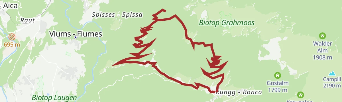
Open route VillnössPanorama trip Lüsen
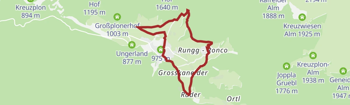
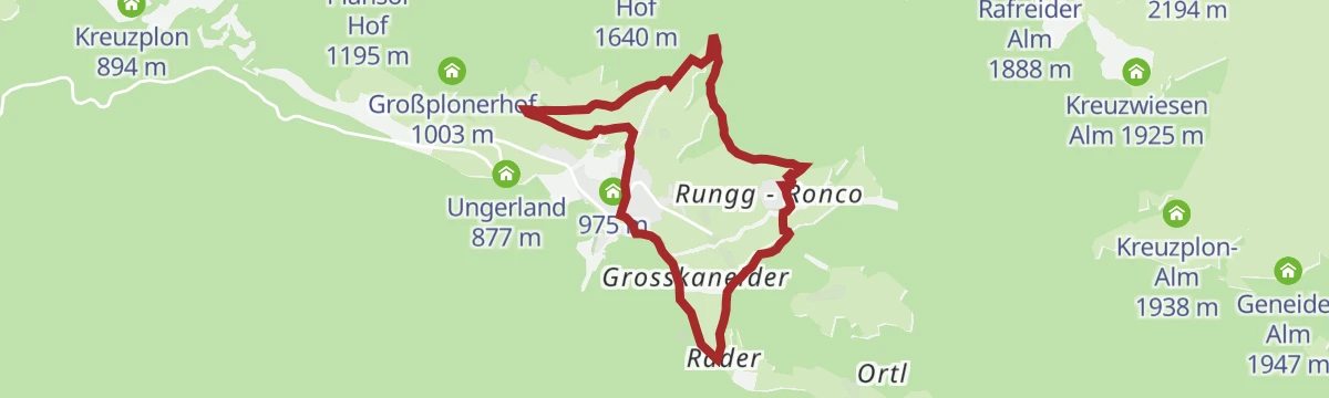
A circuit from the middle of Luson through the old artisan quarter and up beside the Lasanke stream, returning on a forest track above the village.
- 6.2 km
- Distance
- 420 m
- Ascent
- 2 h 49 min
- Duration
Open route Villnöss
No routes of this kind in Luson/Lüsen yet.
The region's own picks

Featured route
From parking slot Kalkofen to Würzjoch
A short climb from the Kalkofen car park to the Würzjoch pass, under the tower of the Sass de Putia.
Planning a trip to Luson/Lüsen?
Everything else Trentino-Alto Adige/Südtirol has, in one place


Take Luson/Lüsen with you into the mountains
Every route on this page with 3D terrain, GPX navigation and offline maps — including the valleys with no signal.
Data sources
- Official website: suedtirol.info ↗
- Routes and highlights: Sterzing, Pfitsch und Freienfeld, Villnöss, Valle Isarco - Eisacktal, Brixen, Gitschberg - Jochtal, San Vigilio Dolomites, Kiens, Lajen
- Published as open data by the tourist boards named above.
- Region summary generated from the board's own material.
