
 Historic site











Curated by Dolomitiprealpi
Longarone
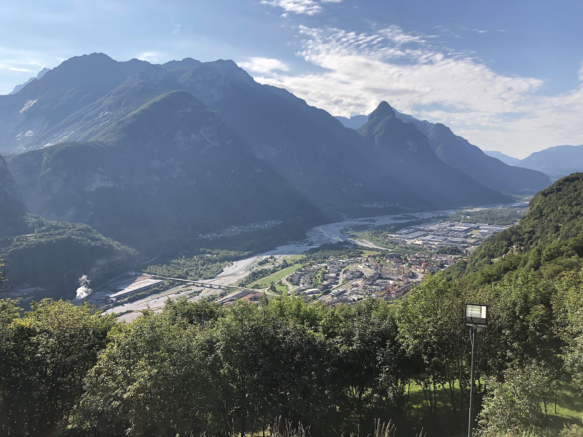
Town on the Piave rebuilt after the Vajont dam disaster of October 1963, which a museum in the village records.
- 5Highlights
- 5Routes
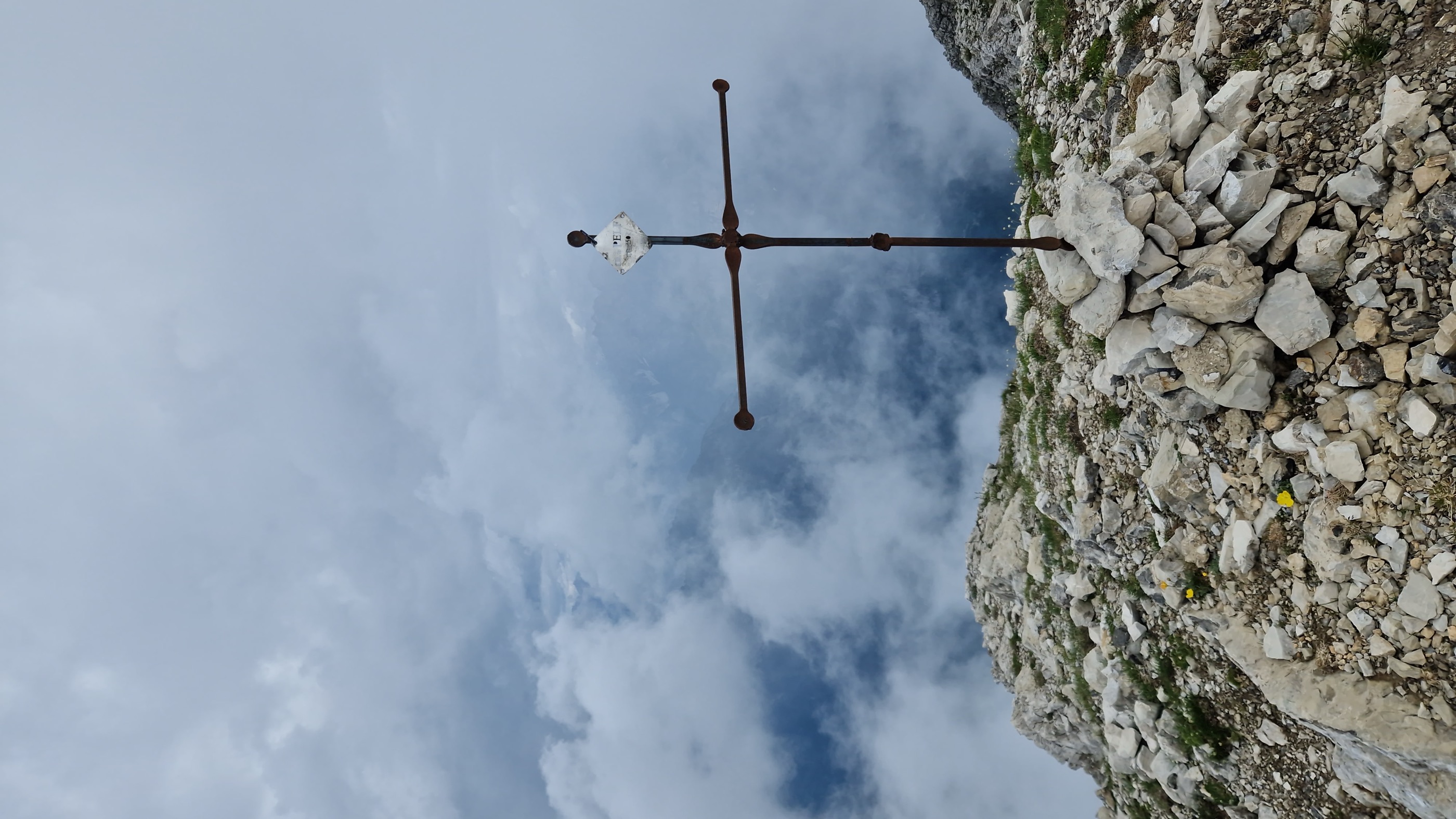
- Featured summit · Pelf
Highlights
10 from neighbouring places
Museo Longarone Vajont Attimi di Storia
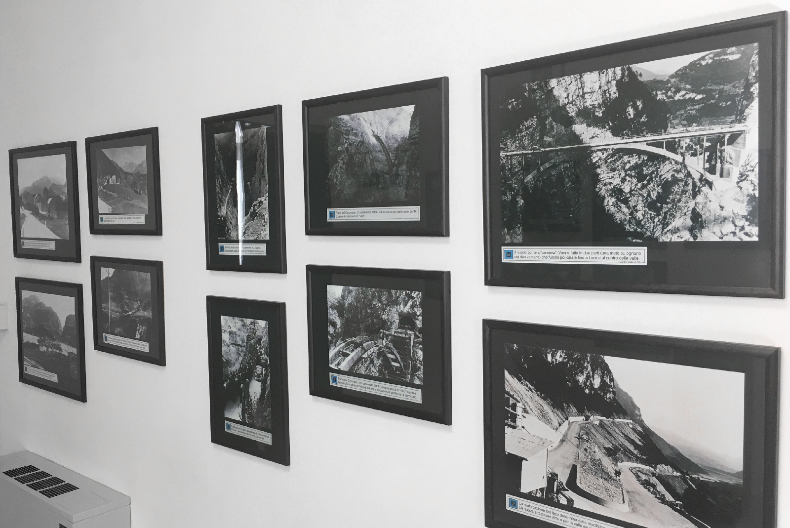
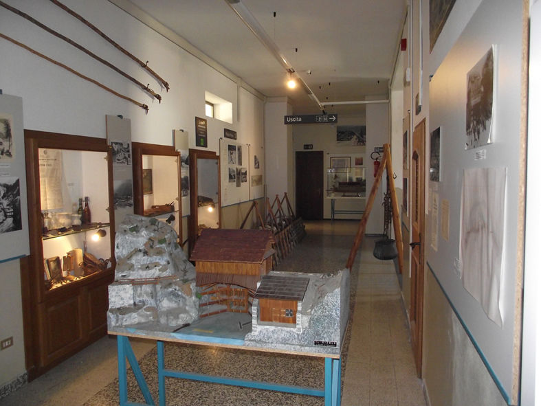
A museum at Longarone on the night of 9 October 1963, when the Vajont landslide destroyed the town.
Museo della Pietra e degli Scalpellini
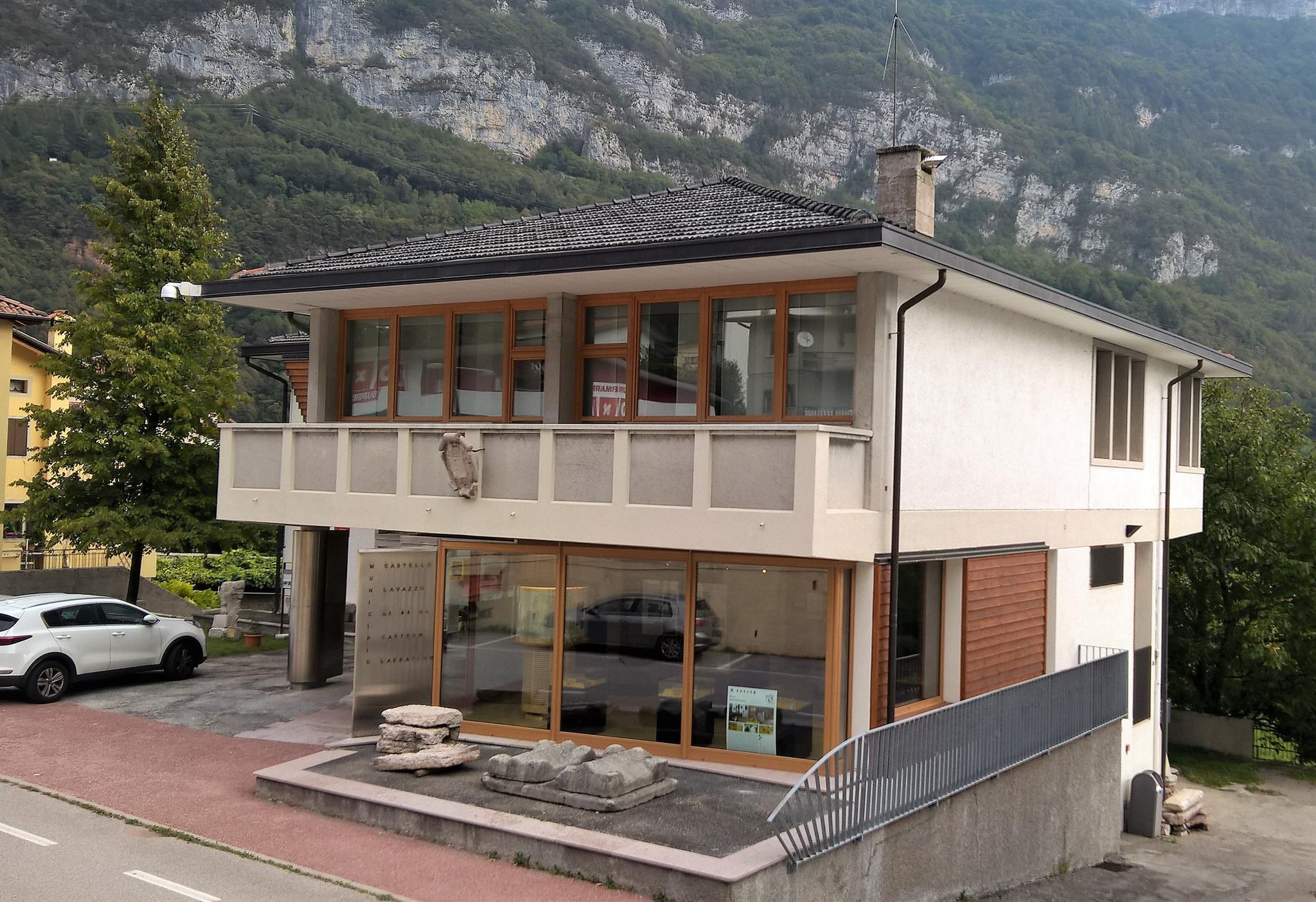
A museum at Castellavazzo, in the comune of Longarone, on the local building stone and the quarrymen and stonecutters who worked it.
Museo delle Zattere e degli Zattieri
A museum on the raftsmen who floated Cadore timber down the Piave to Venice.
Chiesa del Michelucci
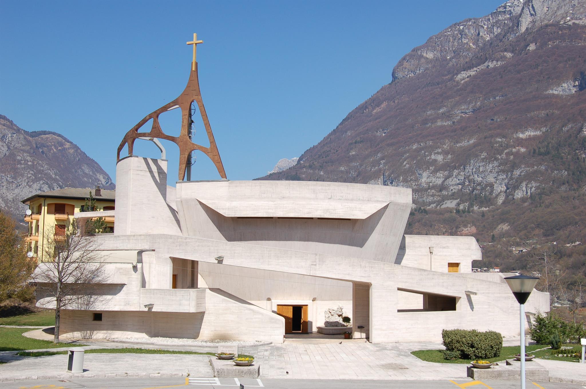
The parish church of Longarone, rebuilt to Giovanni Michelucci's design after the 1963 Vajont disaster, above the Piave.
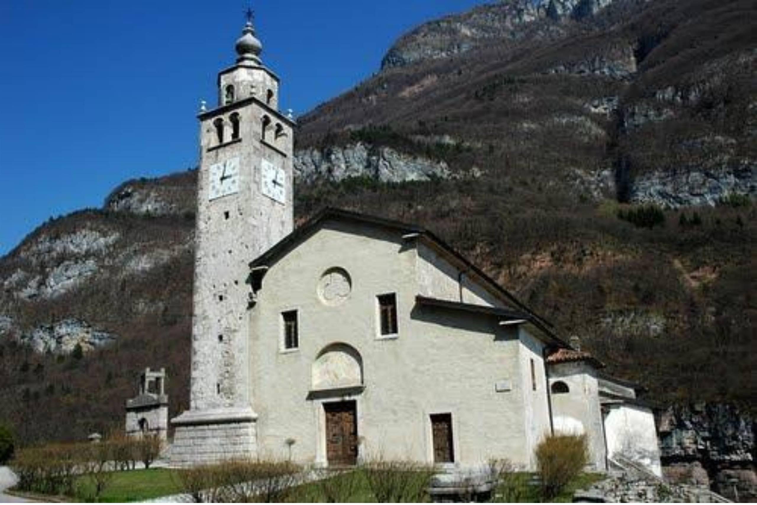
Chiesa di San Quirico e Giulitta in Castellavazzo
A church at Castellavazzo, above the Piave north of Longarone, dedicated to the martyrs Quirico and Giulitta.
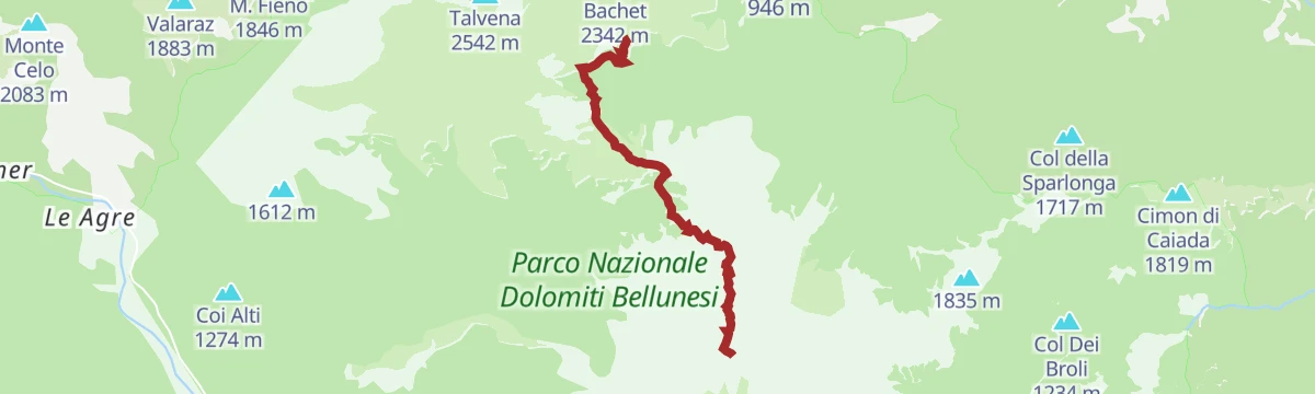
Salita al rifugio Bianchet
10.3 km away, in Belluno
The walk up to Rifugio Bianchet, in the Schiara group of the Dolomiti Bellunesi national park north of Belluno.
Chiesa di San Mamante
12.9 km away, in Belluno
A church dedicated to Saint Mamas in the comune of Belluno, in the hills of the Val Belluna above the Piave.
Chiesa di San Biagio
13.8 km away, in Belluno
A church dedicated to Saint Blaise in the comune of Belluno, in the Piave valley at the foot of the Dolomites.
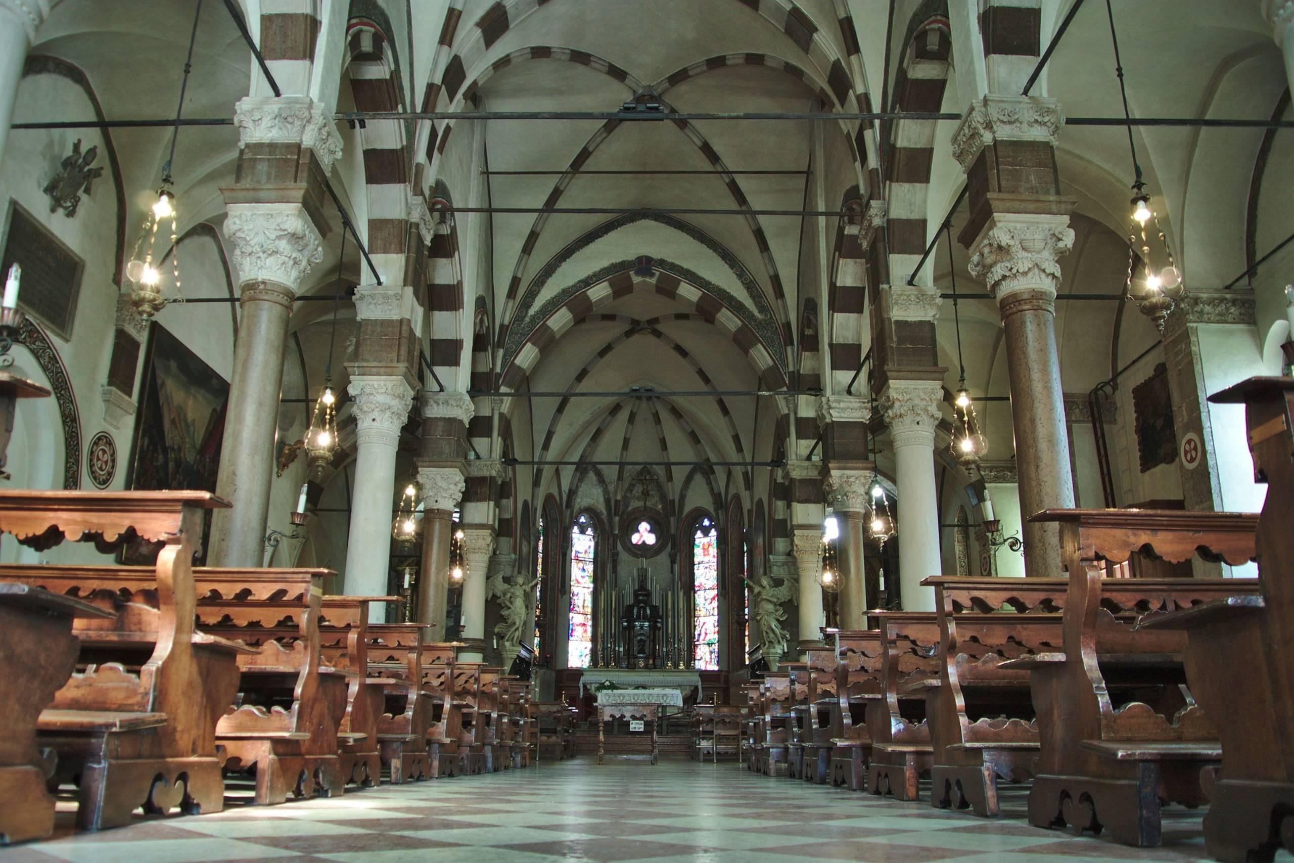
Chiesa di Santo Stefano
14.1 km away, in Belluno
A large church dedicated to Saint Stephen in the old centre of Belluno, on the terrace above the Piave.
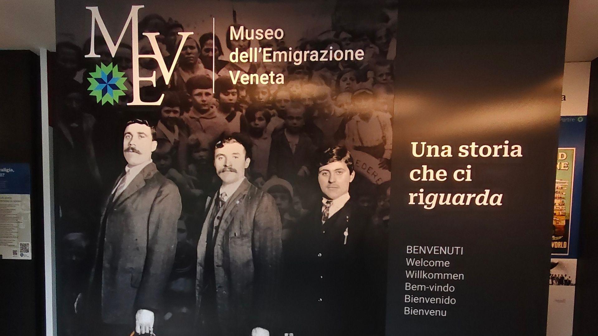
Museo dell’Emigrazione Veneta MEV
14.2 km away, in Belluno
A museum on emigration from the Veneto and the Belluno valleys, in the comune of Belluno.
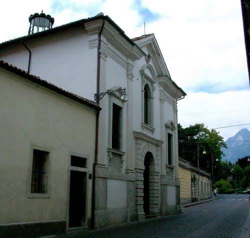
Chiesa di San Rocco
14.2 km away, in Belluno
A church dedicated to Saint Roch in the comune of Belluno, in the Val Belluna along the Piave.
Chiesa di Loreto
14.2 km away, in Belluno
A church of the Madonna of Loreto in the comune of Belluno, in the Val Belluna between the Piave and the Dolomites.
Palazzo dei Giuristi-Museo Archeologico
14.4 km away, in Belluno
The archaeological museum of Belluno, housed in the Palazzo dei Giuristi in the old centre near the cathedral.
Castello di Belluno
14.4 km away, in Belluno
The site of Belluno's medieval castle, on the high ground above the Piave at the edge of the old centre.
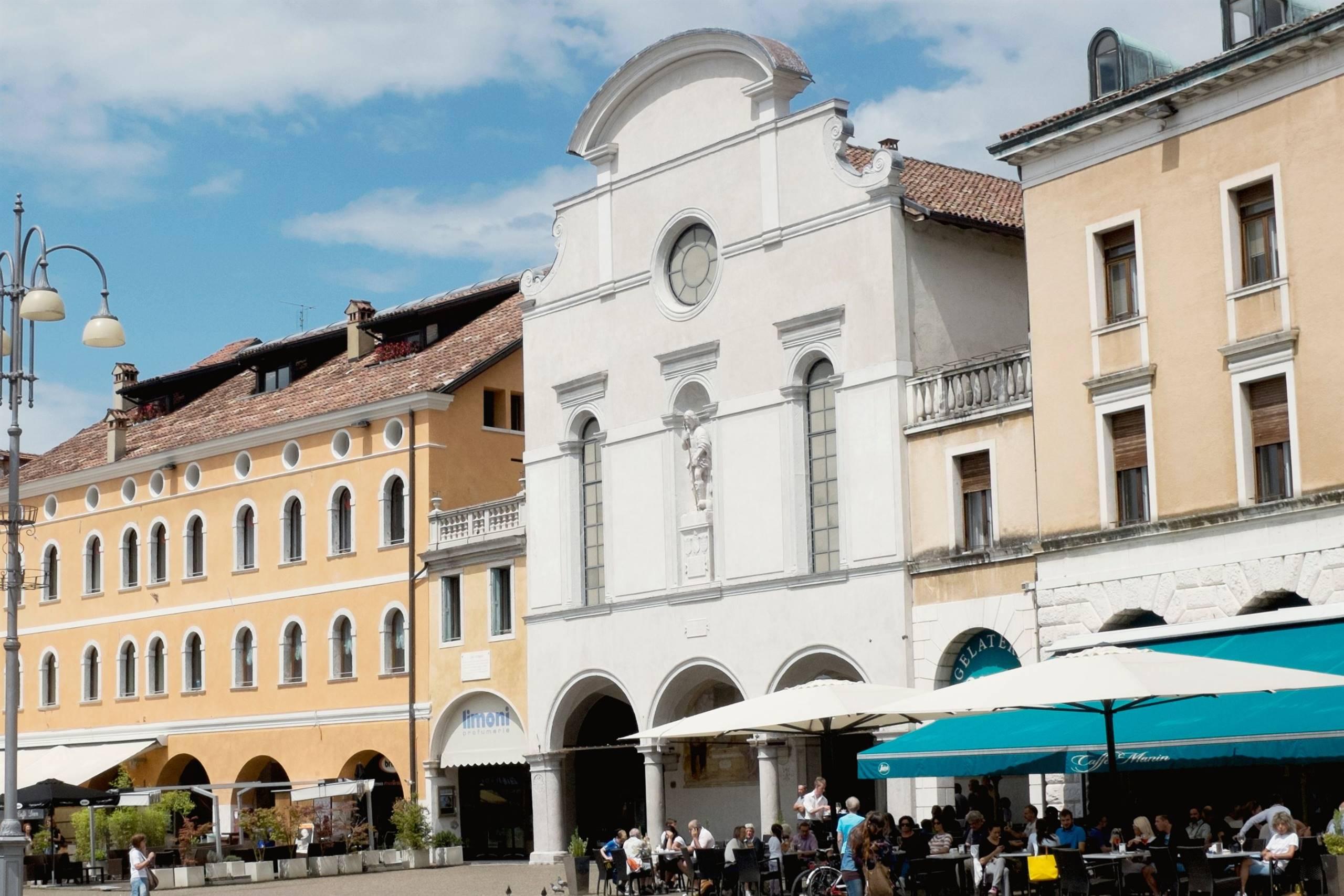
Piazza castello
14.4 km away, in Belluno
A square in the old centre of Belluno, on the ground once occupied by the town's castle above the Piave.
Nothing of this kind in Longarone.
Routes
15 from neighbouring places
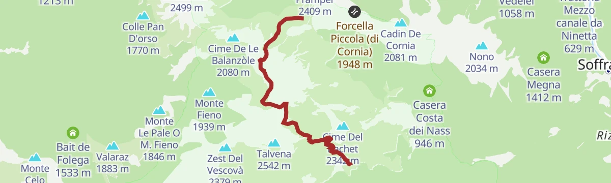
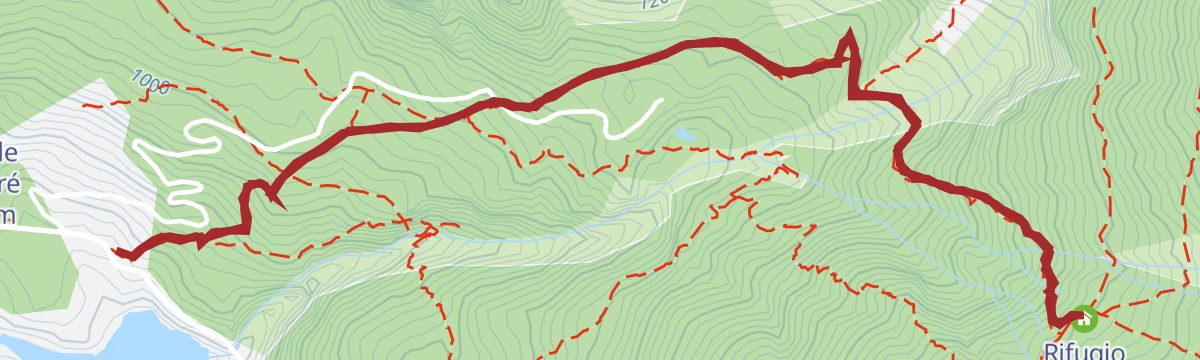
AVDB - Stage 2: Rif. Pramperet - Rif. Bianchet
A solitary stage through the hanging Van de Zità valleys and over high passes to Pian de Fontana and Val Vescovà, under the Schiara.
- 11.1 km
- Distance
- 778 m
- Ascent
- 6 h 19 min
- Duration
- 60
- Check-ins
 Cima De Zità di Mezzo 2 451 m
 Rifugio Sommariva al Pramperet 1 857 m
- Rifugio Furio Bianchet 1 245 m
- Bivacco Dal Mas 1 634 m
- Rifugio Pian de Fontana 1 632 m
 Forcella De Zita Sud 2 351 m
- +1
Open route Dolomiti Bellunesi - The Mountains of VeniceAlta Via no. 1 - Stage 11
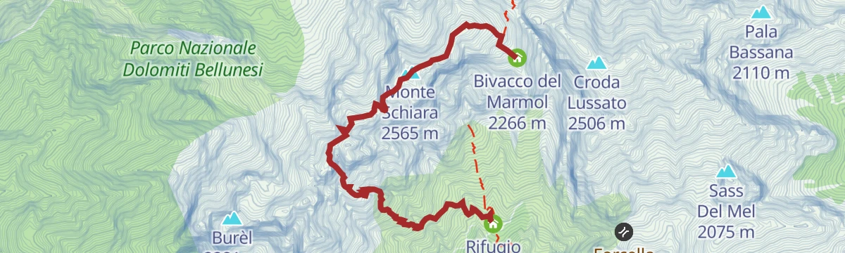
Stage eleven of the Alta Via 1, leaving the Pian de Fontana hut over pasture and wooded slopes to the Forcella La Varetta in the Schiara group.
- 5.8 km
- Distance
- 965 m
- Ascent
- 4 h 22 min
- Duration
- 16
- Check-ins
- Bivacco Dal Mas 1 634 m
- Rifugio Pian de Fontana 1 632 m
- Bivacco del Marmol 2 266 m
- Forcella del Marmol 2 232 m
Open route Cortina Marketing Se.Am.BIKE TOUR - FROM CALALZO DI CADORE TO SANTA CROCE LAKE
A valley run down the Piave on the Munich–Venice cycle way, from Cadore through Perarolo and Ospitale towards the Alpago lake.
- 49.3 km
- Distance
- 451 m
- Ascent
- 4 h 55 min
- Duration
- 2
- Check-ins
Open route Dolomiti Bellunesi - The Mountains of VeniceAlta Via no. 1 - Stage 10
Stage ten of Alta Via 1, from the Sommariva hut across stony hollows and dwarf pine to the Portela del Piazedel.
- 6.1 km
- Distance
- 545 m
- Ascent
- 3 h 50 min
- Duration
- 48
- Check-ins
- Cima De Zità di Mezzo 2 451 m
- Rifugio Sommariva al Pramperet 1 857 m
- Bivacco Dal Mas 1 634 m
- Rifugio Pian de Fontana 1 632 m
- Forcella De Zita Sud 2 351 m
- Portela Del Piazedel 2 097 m
Open route Cortina Marketing Se.Am.Mount Pelf
From Case Bortot on trail 501 past the Mariano bridge, then trails 507 and 511 into the Rui Fret valley and steeply up through Vaia windthrow towards the Pelf.
- 16.6 km
- Distance
- 2 370 m
- Ascent
- 13 h 45 min
- Duration
- 7
- Check-ins
Open route CAI - BellunoAlta Via no.1 - Stage 12
5.5 km away, in Belluno
The Marmol via ferrata, the usual way down from the Marmol bivouac to the Settimo Alpini hut, some 500 m of rock in bare surroundings and serious in bad weather.
- 4.0 km
- Distance
- 509 m
- Ascent
- 5 h 34 min
- Duration
- 25
- Check-ins
- Monte Schiara 2 565 m
- Gusèla del Vescovà 2 365 m
- Rifugio 7° Alpini 1 498 m
- Bivacco Sperti 2 000 m
- Bivacco Ugo Dalla Bernardina 2 320 m
- Bivacco del Marmol 2 266 m
Open route Cortina Marketing Se.Am.Sentiero della Nongola e della Moliesa
7.7 km away, in Erto e Casso
A short path on the Vajont slopes at Erto e Casso, linking the Nongola and Moliesa streams.
- 4.0 km
- Distance
- 237 m
- Ascent
- 1 h 39 min
- Duration
- 25
- Check-ins
TO THE VACH POND by E-BIKE (01)
9.8 km away, in Val di Zoldo
A ride into the Val Barance below the Tàmer and San Sebastiano peaks, to a pond under a waterfall, returning through the village of Colcervèr.
- 12.2 km
- Distance
- 559 m
- Ascent
- 1 h 37 min
- Duration
- 19
- Check-ins
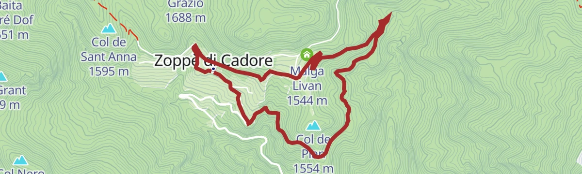
Open route Consorzio Val di Zoldo TurismoZOPPE’ DI CADORE – COL DEL PIAN by E-BIKE (06)
14 km away, in Zoppè di Cadore
A short easy loop above the village on the Lizon forest road, past Piol Alto and Malga Livan, with the Laghetto dei Piridei close by.
- 5.4 km
- Distance
- 218 m
- Ascent
- 41 min
- Duration
- 17
- Check-ins
Open route Consorzio Val di Zoldo TurismoFORNO – ZOPPE’ - DONT by E-BIKE (09)
9.8 km away, in Val di Zoldo
A demanding circuit around Monte Punta, reaching Zoppè di Cadore below Monte Pelmo on tarmac and crossing the Forcella Tamai at 1,715 m.
- 21.1 km
- Distance
- 1 222 m
- Ascent
- 3 h 15 min
- Duration
- 4
- Check-ins
Open route Consorzio Val di Zoldo TurismoAVDB - Stage 3: Rif. Bianchet - Miniere Val Imperina
6.5 km away, in Sedico
The third stage of the Alta Via delle Dolomiti Bellunesi, down the Val Vescovà from the Bianchet hut past the abandoned hamlets of Roit and Noach to the Imperina mines.
- 19.5 km
- Distance
- 775 m
- Ascent
- 7 h 27 min
- Duration
- 12
- Check-ins
Open route Dolomiti Bellunesi - The Mountains of VeniceSORA 'L SASS REFUGE - EQUIPPED PATH
8 km away, in Val di Zoldo
The equipped approach to the Sora 'l Sass hut, shorter and steeper than the ordinary path up through the wood.
- 4.0 km
- Distance
- 445 m
- Ascent
- 2 h 41 min
- Duration
- 20
- Check-ins
Open route Consorzio Val di Zoldo TurismoTHE ANCIENT FOREST
10.5 km away, in Val di Zoldo
An easy walk through old-growth forest on the slopes of the Val di Zoldo.
- 4.5 km
- Distance
- 166 m
- Ascent
- 1 h 28 min
- Duration
Open route Consorzio Val di Zoldo TurismoFORNO DI ZOLDO – VILLA in E-BIKE (04)
9.9 km away, in Val di Zoldo
A tour through the lower Val di Zoldo hamlets, past the tenth-century church of San Floriano at Pieve and up the Strada dell'Acqua mule track.
- 10.8 km
- Distance
- 490 m
- Ascent
- 1 h 25 min
- Duration
- 2
- Check-ins
Open route Consorzio Val di Zoldo TurismoFORNO DI ZOLDO – MONTE PUNTA by E-BIKE (05)
9.8 km away, in Val di Zoldo
A climb to a First World War summit position above the Val di Zoldo, where trenches and an observation post look out over the ring of peaks.
- 17.6 km
- Distance
- 1 097 m
- Ascent
- 2 h 51 min
- Duration
- 31
- Check-ins
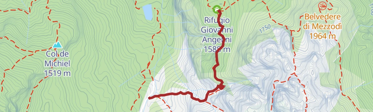
Open route Consorzio Val di Zoldo TurismoZoldano Loop - Stage 2: Rif. Angelini Sora 'l sass - Rif. San Sebastiano
8.1 km away, in Val di Zoldo
From Casel Sora 'l Sass on path 534 down a gully fitted with cables, then up the Val Pramper by Pian de Palui towards the San Sebastiano hut.
- 12.1 km
- Distance
- 1 015 m
- Ascent
- 6 h 28 min
- Duration
- 118
- Check-ins
- Col de Michiel 1 519 m
- Passo Duran 1 605 m
- Rifugio San Sebastiano 1 596 m
- Rifugio Giovanni Angelini 1 588 m
- Ricovero del Piano degli Ontani 1 322 m
- Baita Valentino Angelini 1 680 m
Open route Consorzio Val di Zoldo TurismoHike to Rifugio Bosconero
8 km away, in Val di Zoldo
A varied climb through thick wood to the Bosconero hut, which looks across at the Civetta and has hosted University of Padua waste and water research since 2006.
- 6.7 km
- Distance
- 651 m
- Ascent
- 4 h 1 min
- Duration
- 33
- Check-ins
Open route Consorzio Val di Zoldo TurismoPAZ Stage 2: Colcerver - Dont
10.7 km away, in Val di Zoldo
From the small square at Colcerver by dirt road towards Col Baion, then CAI 539 through tall beech and conifer wood to Col de le Ole and down to Dont.
- 5.4 km
- Distance
- 177 m
- Ascent
- 2 h 2 min
- Duration
Open route Consorzio Val di Zoldo TurismoDONT – CASERA BIDOCH by E-BIKE (02)
12 km away, in Val di Zoldo
A loop into the Valle di Goima to Casera Bidoch below Monte San Sebastiano, coming back down to the valley on the SP 347 road.
- 10.0 km
- Distance
- 510 m
- Ascent
- 1 h 24 min
- Duration
Open route Consorzio Val di Zoldo TurismoFORNO DI ZOLDO - MALGA PRAMPER by E-BIKE (03)
10.1 km away, in Val di Zoldo
A climb into the Parco Nazionale Dolomiti Bellunesi between the Moschesin and Pramper peaks, ending at a pasture hut at 1,540 m.
- 15.2 km
- Distance
- 730 m
- Ascent
- 2 h 3 min
- Duration
- 38
- Check-ins
Open route Consorzio Val di Zoldo Turismo
No routes of this kind in Longarone yet.
The region's own picks

Featured route
AVDB - Stage 2: Rif. Pramperet - Rif. Bianchet
A solitary stage through the hanging Van de Zità valleys and over high passes to Pian de Fontana and Val Vescovà, under the Schiara.
Planning a trip to Longarone?
Everything else Veneto has, in one place


Take Longarone with you into the mountains
Every route on this page with 3D terrain, GPX navigation and offline maps — including the valleys with no signal.
Data sources
- Official website: italia.it ↗
- Routes and highlights: Dolomitiprealpi, Consorzio Val di Zoldo Turismo, Dolomiti Bellunesi - The Mountains of Venice, Cortina Marketing Se.Am., CAI - Belluno, Parcodolomitifriulane
- Published as open data by the tourist boards named above.
- Region summary generated from the board's own material.
