
 Cable car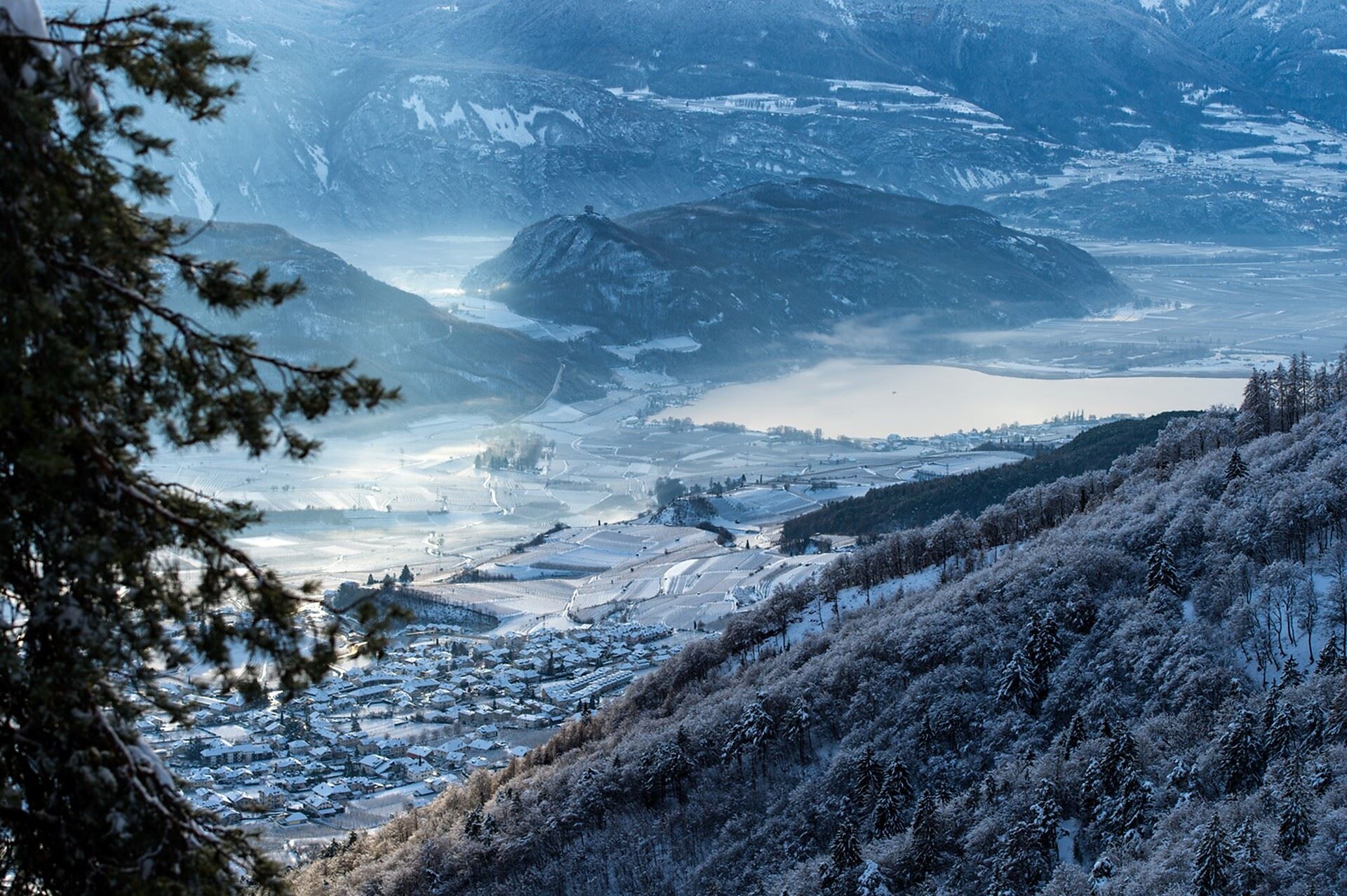









Curated by APT Val di Non
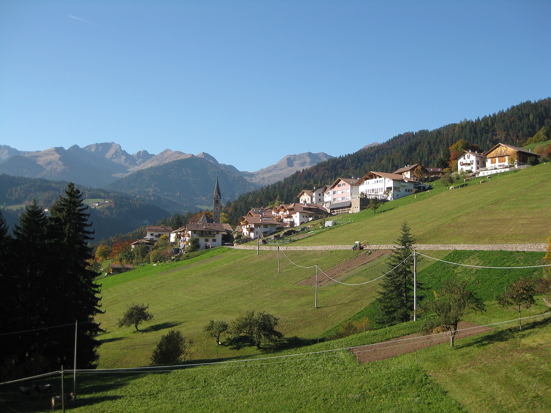
Lauregno/Laurein
German-speaking village on the high terrace above the Val di Non, at the edge of the Trentino boundary.
Photo: Mai-Sachme · CC0 licence
- 7Highlights
- 22Routes
- Featured summit · Laugen
Highlights
All 7 from neighbouring places
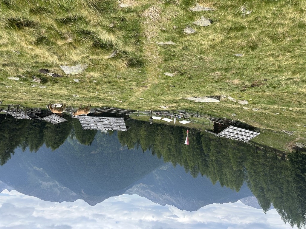
Malga "Untere Kessel Alm"
2.8 km away, in Proves/Proveis
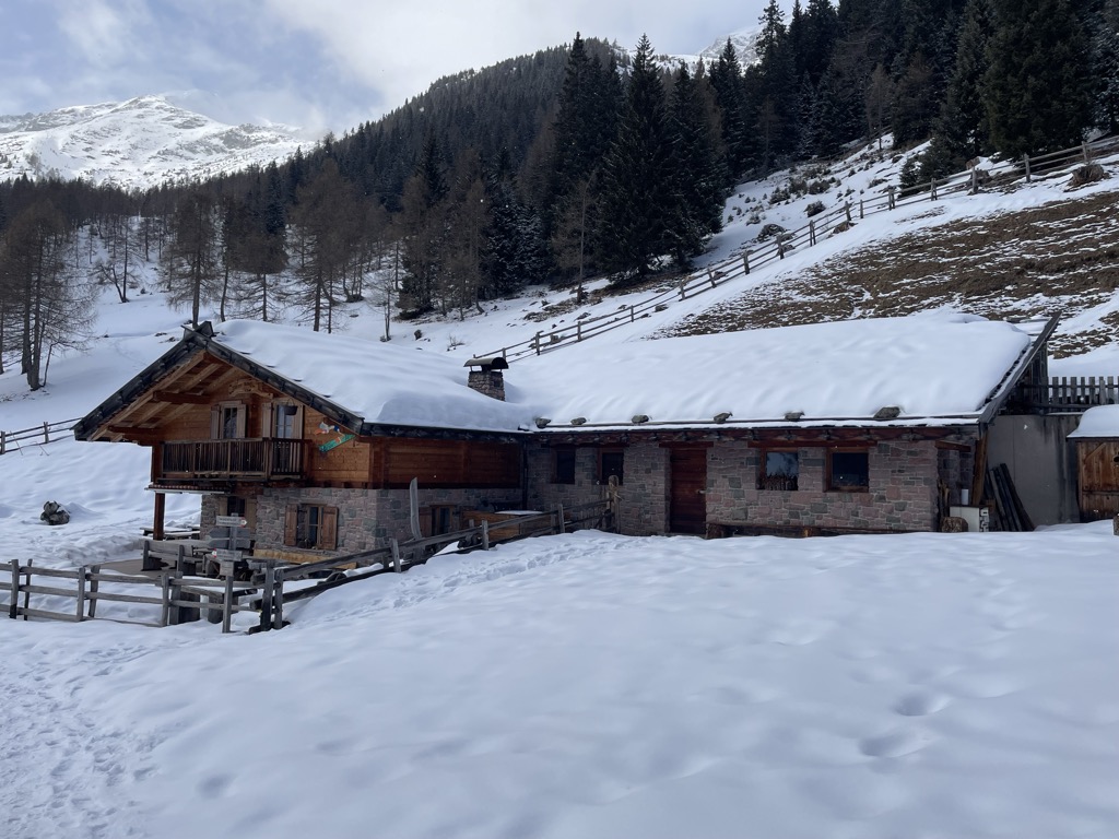
A dairy hut on the pastures above Proves, in the German-speaking upper Val di Non.
Sterzing, Pfitsch und FreienfeldMalga Manzara (Stierberg)
4 km away, in Proves/Proveis
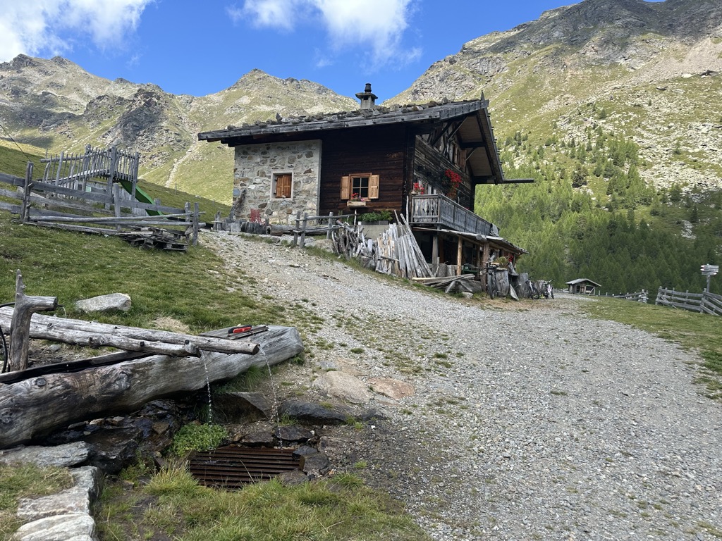
A dairy hut on the Stierberg pastures above Proves, between the Val di Non and the Val d'Ultimo.
Sterzing, Pfitsch und FreienfeldMalga Innerfalkomai
11.6 km away, in Ultimo/Ulten
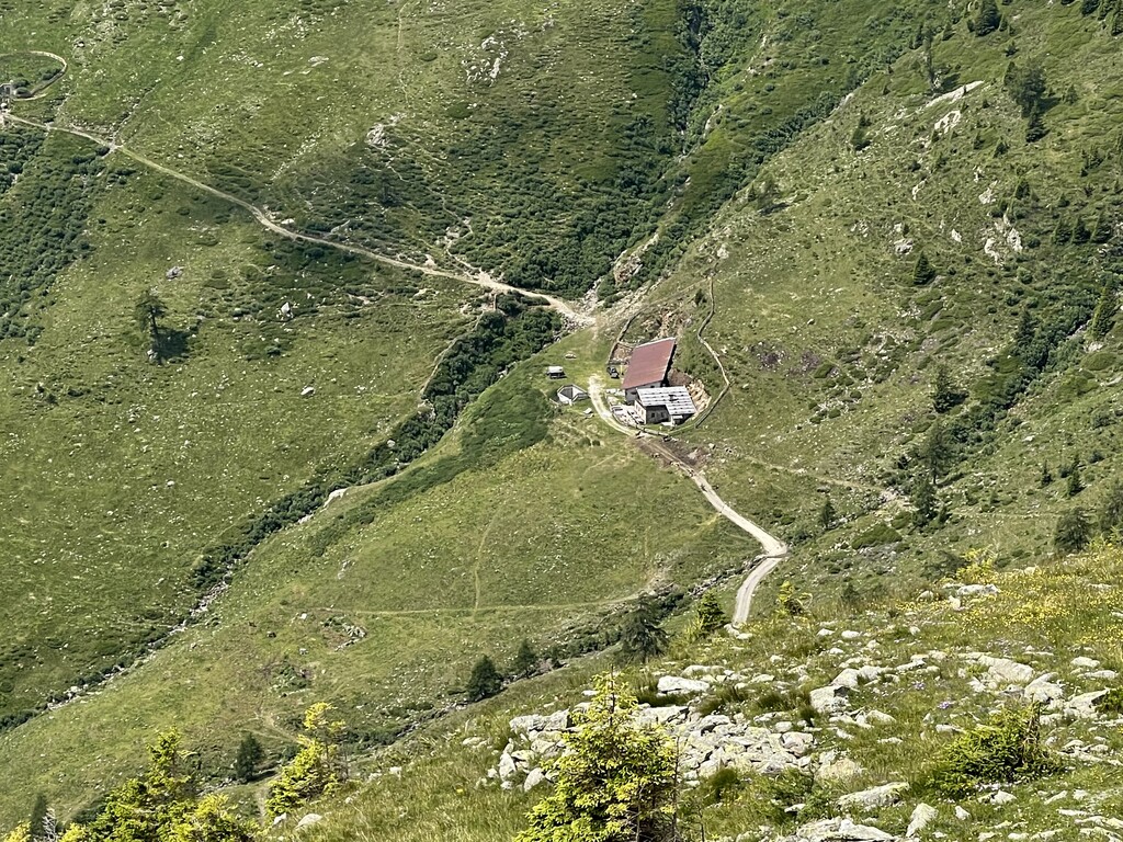
A dairy hut on the Falkomai pastures of the Ultental, high on the shady side of the valley in the comune of Ultimo.
Sterzing, Pfitsch und FreienfeldMalga Kühberg
12.1 km away, in Ultimo/Ulten
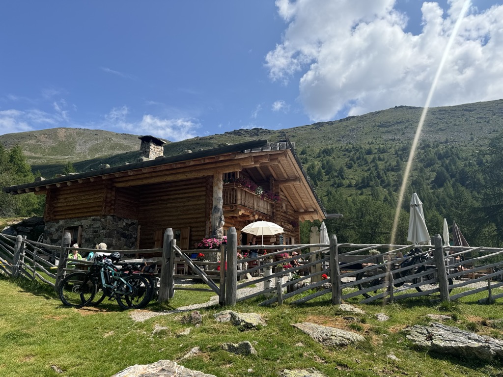
A dairy hut on the high pastures above the Val d'Ultimo, in the comune of Ultimo, reached by forest track from the valley farms.
Sterzing, Pfitsch und FreienfeldMalga Kaserfeld
12.3 km away, in Ultimo/Ulten
A dairy hut on the Kaserfeld pastures of the Ultental, on the slopes below the ridge that closes the valley to the south.
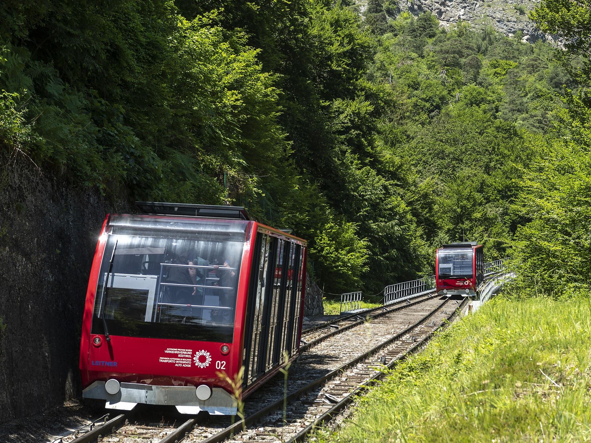
Sterzing, Pfitsch und FreienfeldFunicolare della Mendola
14.3 km away, in Caldaro sulla strada del vino/Kaltern an der Weinstraße
The Mendola funicular, opened in 1903 and among the steepest in Europe, climbing from Caldaro to the pass at 1,363 m.
Dal Passo Mendola al rifugio Mezzavia
14.3 km away, in Caldaro sulla strada del vino/Kaltern an der Weinstraße
A walk from the Mendola pass along the ridge to the Mezzavia hut, above Lake Caldaro.
Nothing of this kind in Lauregno/Laurein.
Routes
Confine culturale
An easy route on the language boundary above the Val di Non, laid out to show the differences between the two communities on either side.
- 6.5 km
- Distance
- 117 m
- Ascent
- 2 h 4 min
- Duration
- 43
- Check-ins
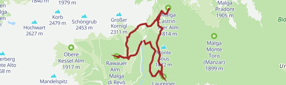
Loop of the Malga mountain huts in the Maddalena Group
A round of the working alpine dairies in the Maddalene above Lauregno, with food at each and no difficult ground.
- 9.8 km
- Distance
- 328 m
- Ascent
- 3 h 6 min
- Duration
- 42
- Check-ins
 Cloz Alm - Malga di Cloz 1 730 m
- Rawauer Alm - Malga di Revò 1 734 m
 Passo Castrin - Hofmahdjoch 1 785 m
- Malga Castrin - Aler Alm 1 814 m
- Laureiner Alm - Malga di Lauregno 1 780 m
Open route APT Val di NonLoop trail with hike up to the top of Mount Cornicoletto, Belmonte and Vedetta Alta in the Maddalena Group
A day's ring linking three tops of the Maddalene, Cornicoletto, Belmonte and Vedetta Alta, with exposed ridges and one unmarked link.
- 11.9 km
- Distance
- 1 134 m
- Ascent
- 7 h 3 min
- Duration
- 78
- Check-ins
 Kleiner Kornigl 2 418 m
- Hochwart 2 627 m
- Schöngrub 2 453 m
- Korb 2 479 m
- Cloz Alm - Malga di Cloz 1 730 m
- Rawauer Alm - Malga di Revò 1 734 m
- +3
Open route APT Val di NonTour de Non MTB Experience: Stage 01 Cles - Senale
The first stage climbs from the valley floor to the summer pastures of the Maddalene, crossing the Forcella di Brez and the Giovat di Cloz.
- 35.4 km
- Distance
- 2 928 m
- Ascent
- 6 h 37 min
- Duration
- 5
- Check-ins
- Forcella di Brez - Brezer Joch 1 397 m
- Laureiner Alm - Malga di Lauregno 1 780 m
- Giovat di Cloz - Clozner Joch 1 376 m
- Maso Tafol 890 m
Open route APT Val di NonMaddalene Ronda Gravel
A gravel circuit from Revò into the Maddalene, three quarters on forest track among the alm huts.
- 47.3 km
- Distance
- 1 446 m
- Ascent
- 5 h 34 min
- Duration
- 45
- Check-ins
- Cloz Alm - Malga di Cloz 1 730 m
- Rawauer Alm - Malga di Revò 1 734 m
- Untere Kessel Alm - Malga Caldaia Inferiore 1 670 m
- Trattoria Arnica 1 246 m
- Gereit 1 214 m
- Maso Tafol 890 m
- +4
Open route APT Val di NonEscursione alla malga "Untere Kessl Alm"
A short level walk from Hofmahd to the Untere Kessl hut, passable with a pushchair, where the kitchen serves pine pesto.
- 2.4 km
- Distance
- 42 m
- Ascent
- 42 min
- Duration
- 43
- Check-ins
- Cloz Alm - Malga di Cloz 1 730 m
- Rawauer Alm - Malga di Revò 1 734 m
- Untere Kessel Alm - Malga Caldaia Inferiore 1 670 m
Open route Partschins - Rabland - TöllEscursione sul Monte Luco
The climb from the Passo delle Palade on trails 10A and 10 by the Malga del Luco to Monte Luco, open to the Val di Non and the Dolomites.
- 5.8 km
- Distance
- 773 m
- Ascent
- 3 h 9 min
- Duration
- 37
- Check-ins
Open route Partschins - Rabland - TöllRidge loop between Cima Cornicoletto, Belmonte and Vedetta Alta
A ridge loop over three summits of the Maddalene where the Trentino and South Tyrol paths meet, returning by four huts on either side of the border.
- 12.5 km
- Distance
- 1 151 m
- Ascent
- 7 h 11 min
- Duration
- 66
- Check-ins
- Hochwart 2 627 m
- Großer Kornigl 2 311 m
- Schöngrub 2 453 m
- Korb 2 479 m
- Cloz Alm - Malga di Cloz 1 730 m
- Rawauer Alm - Malga di Revò 1 734 m
- +2
Open route APT Val di NonLoop of the Upper Val di Non with ascent to the Forcella di Brez
A hard loop from Cagnò up the east side of the Val di Non to the Forcella di Brez, with ramps to 18%.
- 42.2 km
- Distance
- 1 171 m
- Ascent
- 4 h 51 min
- Duration
- 15
- Check-ins
- Ufficio Turistico di Fondo 975 m
- Ufficio Informazioni Estivo 984 m
- Forcella di Brez - Brezer Joch 1 397 m
- Unteregger 1 240 m
- Josl 974 m
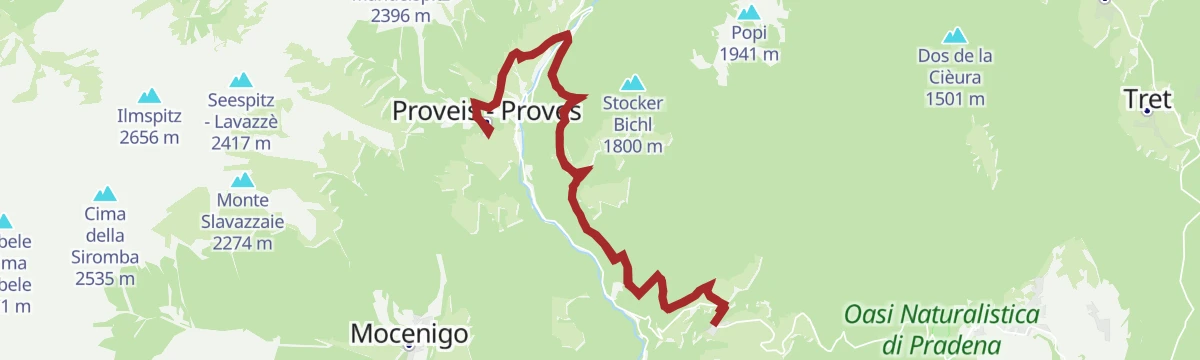
Open route APT Val di NonSentiero naturalistico Proves
An easy interpretive route through pastures, meadows and woods at Proves, with fourteen themed stations on the way.
- 6.3 km
- Distance
- 124 m
- Ascent
- 2 h 2 min
- Duration
- 43
- Check-ins
- Cloz Alm - Malga di Cloz 1 730 m
- Rawauer Alm - Malga di Revò 1 734 m
- Untere Kessel Alm - Malga Caldaia Inferiore 1 670 m
Open route Partschins - Rabland - TöllEscursione Cornicolo - Belmonte
From the Hofmahd car park by the Proves path to the Malga Cloz, then up trail 7 above the treeline to the Cornicolo and Belmonte.
- 8.6 km
- Distance
- 843 m
- Ascent
- 5 h 13 min
- Duration
- 33
- Check-ins
- Kleiner Kornigl 2 418 m
- Schöngrub 2 453 m
- Cloz Alm - Malga di Cloz 1 730 m
- Obere Alm - Malghetto di Cloz 1 892 m
Open route Partschins - Rabland - TöllLungo itinerario ad anello nel cuore del gruppo delle Maddalene passando per la Cima Belmonte
A long ring on the boundary between Trentino and South Tyrol, between the Val di Non and the Val d'Ultimo, with huts open for food.
- 15.5 km
- Distance
- 949 m
- Ascent
- 6 h 32 min
- Duration
- 36
- Check-ins
Monte Ozol and Monte Ori between Trentino and South Tyrol
A steep climb from Revò to Monte Ozol, then on by the Brez pass to the Lauregno and Ori alm huts.
- 45.4 km
- Distance
- 1 575 m
- Ascent
- 5 h 31 min
- Duration
- 5
- Check-ins
- Monte Ozol 1 566 m
- Doss Ciaslir 1 512 m
- Forcella di Brez - Brezer Joch 1 397 m
- Laureiner Alm - Malga di Lauregno 1 780 m
- Giovat di Cloz - Clozner Joch 1 376 m
Open route APT Val di NonEscursione alla malga di Revò
A twenty-minute walk on trail 8 from the Pra del Signore car park above Lauregno to the Malga Revò.
- 1.5 km
- Distance
- 42 m
- Ascent
- 26 min
- Duration
- 32
- Check-ins
Open route Partschins - Rabland - TöllHike among the South Tyrolean huts in the Maddalene Group
A walk through the Maddalene group above Laurein, crossing the saddle of the Forcella di Brez to the huts on the South Tyrolean side.
- 13.4 km
- Distance
- 536 m
- Ascent
- 4 h 27 min
- Duration
- 2
- Check-ins
Open route APT Val di NonVedetta Alta
A circular route touching five alpine huts, two of them ruined, on open ground where the tracks are faint and a map is needed.
- 11.5 km
- Distance
- 960 m
- Ascent
- 6 h 7 min
- Duration
- 30
- Check-ins
- Hochwart 2 627 m
- Korb 2 479 m
- Cloz Alm - Malga di Cloz 1 730 m
- Obere Alm - Malghetto di Cloz 1 892 m
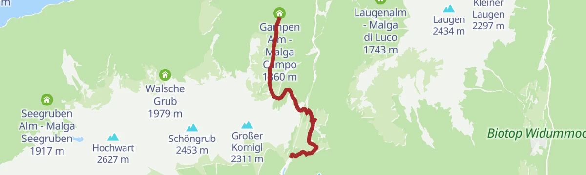
Open route APT Val di NonEscursione alla malga "Gampen Alm"
An easy walk from the Passo delle Palade car park on trails 8 and 24 to the Gampen hut, also reachable by forest road.
- 4.5 km
- Distance
- 216 m
- Ascent
- 1 h 27 min
- Duration
- 5
- Check-ins
Open route Partschins - Rabland - TöllFarm Path - Höfeweg
An old link between Lauregno and Proves running high above the Pescara gorge on the sunny side, almost level among farms and forest.
- 20.3 km
- Distance
- 817 m
- Ascent
- 6 h 47 min
- Duration
Open route APT Val di NonEscursione alla malga Lauregno
A short walk on trail 26 from Hofmahd to the Lauregno hut and the Ori and Pòpi viewpoints on the provincial boundary.
- 1.8 km
- Distance
- 103 m
- Ascent
- 37 min
- Duration
- 2
- Check-ins
Open route Partschins - Rabland - TöllJacopeo d'Anaunia Path - II stage
The second stage of the Jacopeo d'Anaunia pilgrim route, rolling through Lauregno and Senale, once a waypoint for travellers bound for Rome.
- 18.6 km
- Distance
- 642 m
- Ascent
- 6 h 21 min
- Duration
Open route APT Val di NonEscursione alla malga di Lauregno in Alta Val di Non
An easy forest road to the Lauregno hut, open from mid June to mid September and walkable in winter with snowshoes.
- 2.3 km
- Distance
- 103 m
- Ascent
- 44 min
- Duration
- 2
- Check-ins
Open route Partschins - Rabland - TöllSentiero delle favole a Lauregno in Alta Val di Non
A themed loop from the church at Lauregno with thirteen stations telling village tales in text, drawings and carvings made by children.
- 3.5 km
- Distance
- 218 m
- Ascent
- 1 h 23 min
- Duration
Open route Partschins - Rabland - Töll
No routes of this kind in Lauregno/Laurein yet.
The region's own picks
Featured route
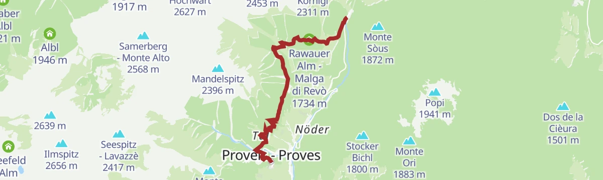
Confine culturale
An easy route on the language boundary above the Val di Non, laid out to show the differences between the two communities on either side.
Planning a trip to Lauregno/Laurein?
Everything else Trentino-Alto Adige/Südtirol has, in one place


Take Lauregno/Laurein with you into the mountains
Every route on this page with 3D terrain, GPX navigation and offline maps — including the valleys with no signal.
Data sources
- Official website: merano-suedtirol.it ↗
- Routes and highlights: APT Val di Non, Partschins - Rabland - Töll, Sterzing, Pfitsch und Freienfeld, Kaltern an der Weinstraße, Visit Trentino
- Published as open data by the tourist boards named above.
- Region summary generated from the board's own material.
