
 Historic site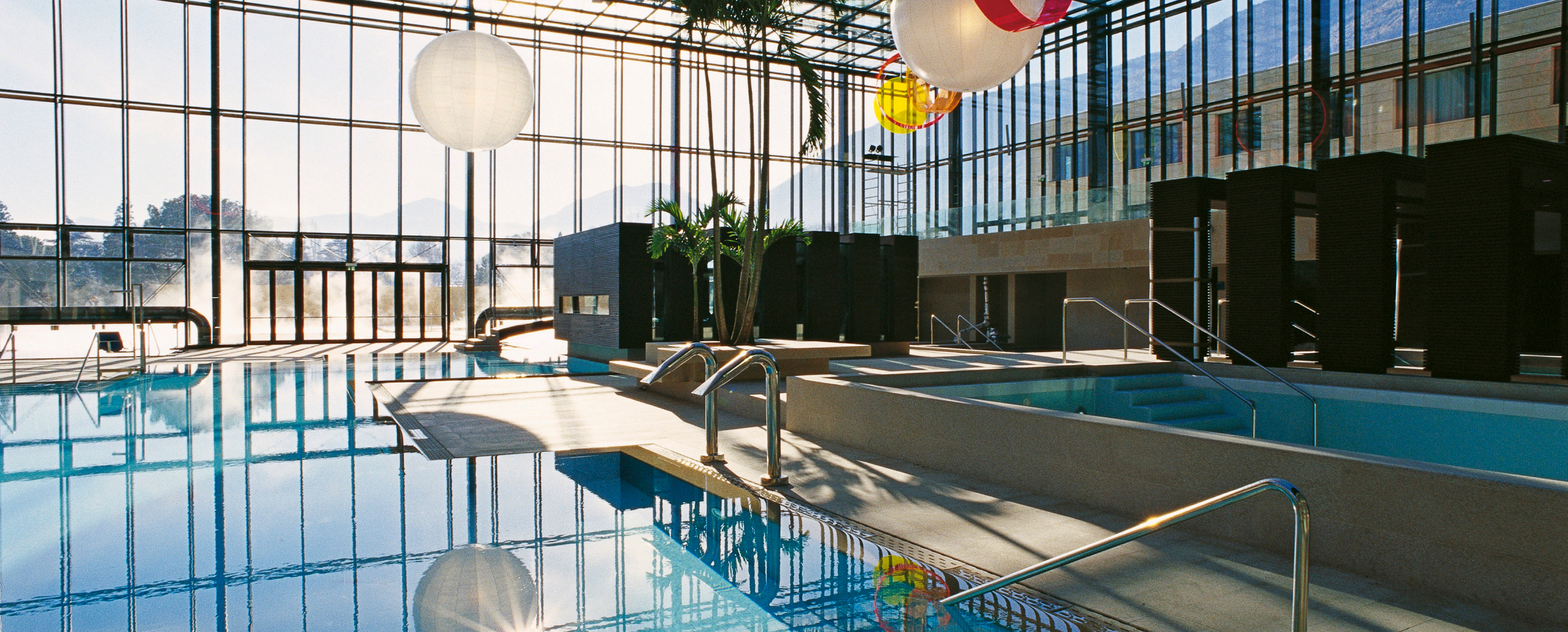













Curated by Partschins - Rabland - Töll
Lana/Lana
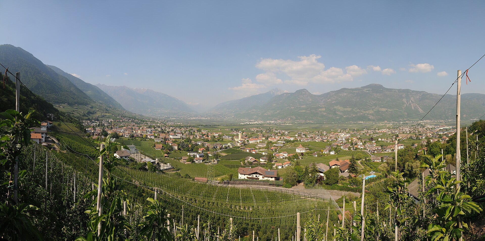
Market town on the apple terraces below Merano, with the Brandis waterfall and Leonburg castle above the orchards.
- 1Highlights
- 35Routes
- Featured summit · Laugen
Highlights
14 from neighbouring places
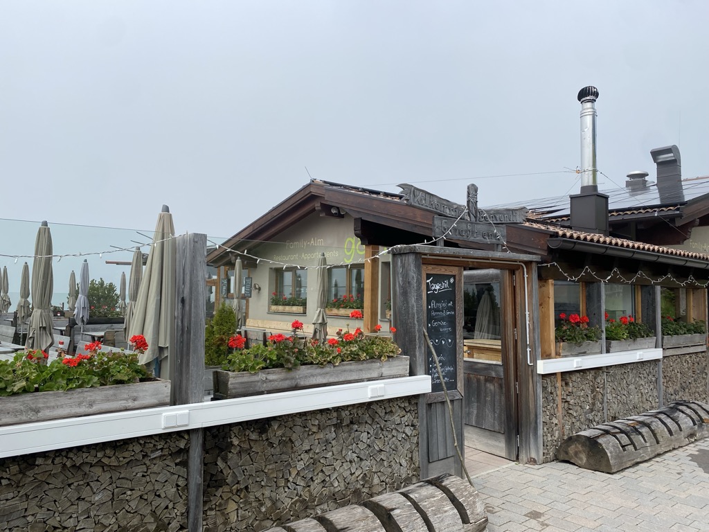
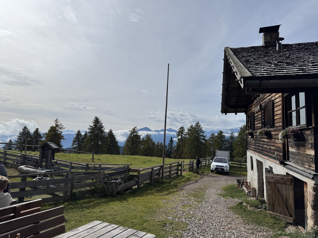
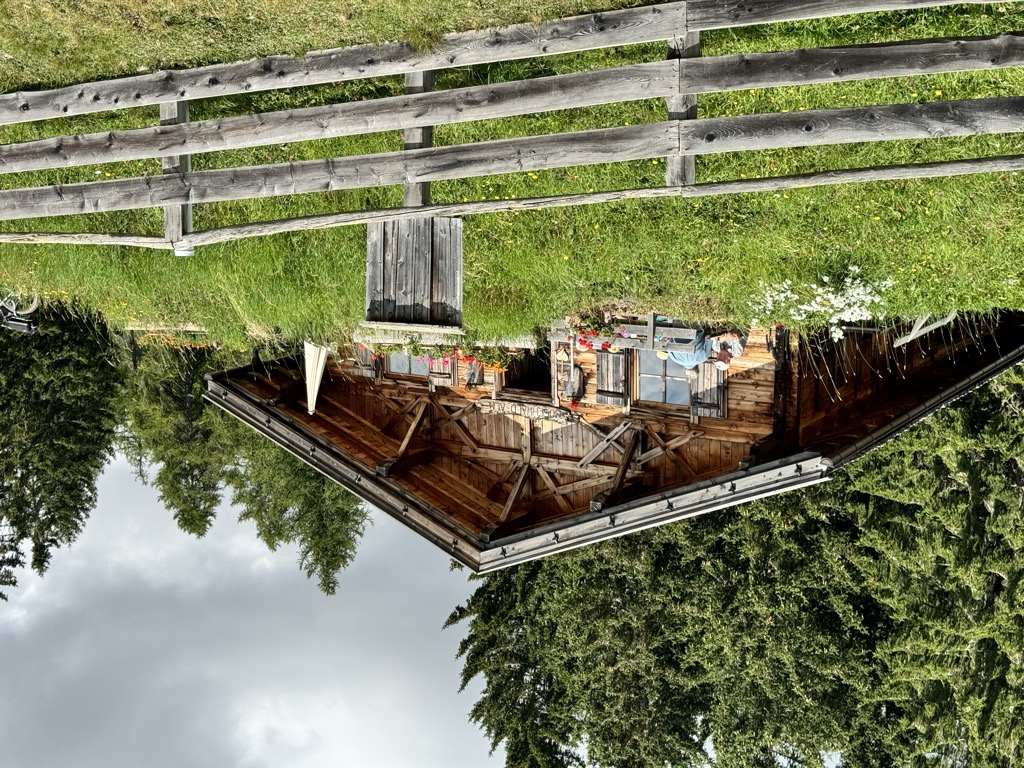
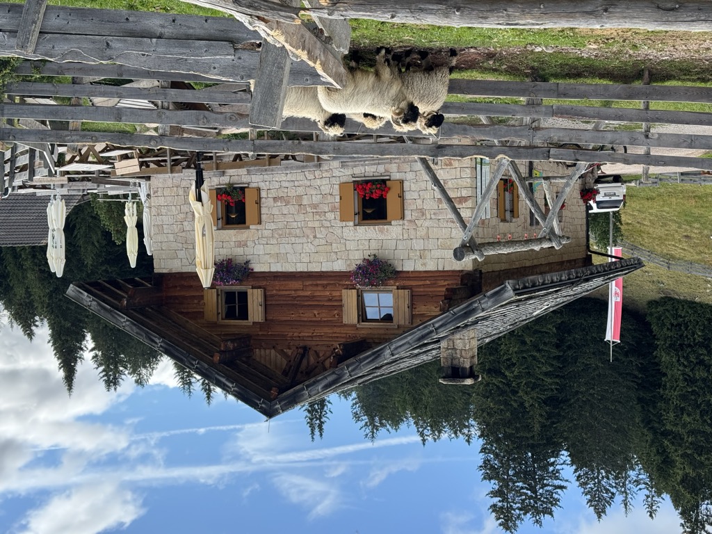
Family-Alm Gampl
A dairy hut on the wooded slopes above Lana, west of Merano at the mouth of the Val d'Ultimo.
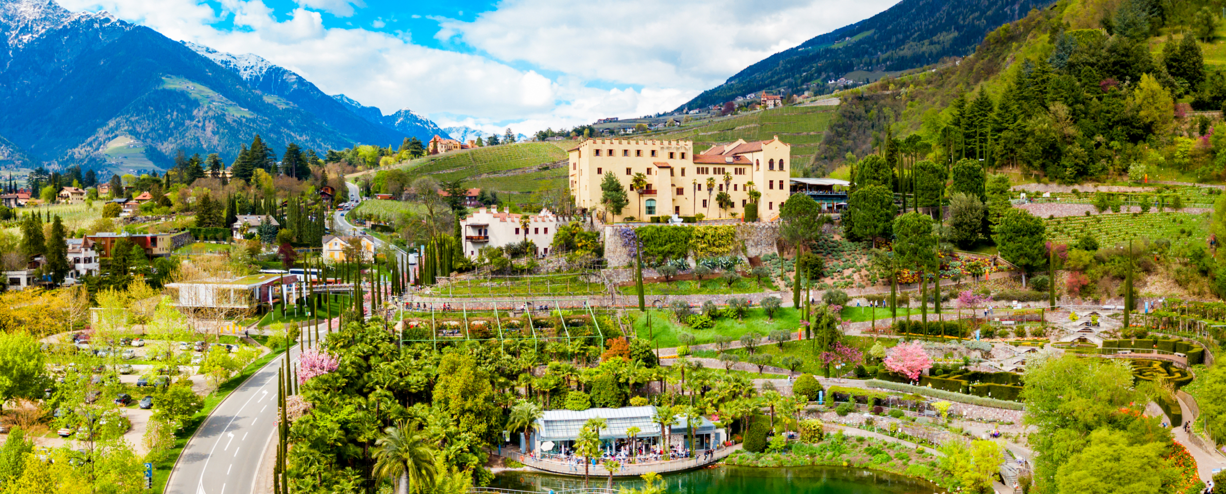
Giardini di Castel Trauttmansdorff
7 km away, in Merano/Meran
Terraced botanic gardens around a castle above Merano, planted in zones from Mediterranean to Alpine.
Terme Merano
7.5 km away, in Merano/Meran
Thermal pools in Merano under a glass cube by Matteo Thun, with a park along the Passirio.
Berg-Gasthof Leiteralm-Schutzhaus
11.7 km away, in Lagundo/Algund
A mountain inn on the Leiter Alm above Lagundo, on the Texel slopes reached from Vellau by lift or by the path from the village.
Sterzing, Pfitsch und FreienfeldMalga Wurzer Alm
9.1 km away, in Avelengo/Hafling
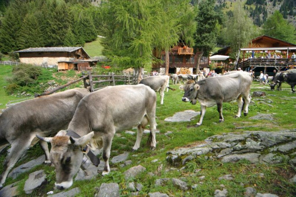
A working dairy on the Wurzer pastures above Avelengo, on the slopes below the Ifinger, serving what it makes.
Malga Wurzer
9.1 km away, in Avelengo/Hafling
A dairy hut on the pastures above Avelengo, on the high shelf between Hafling and the Ifinger.
Malga Moschwaldalm
10.7 km away, in Avelengo/Hafling
A dairy hut on the Moschwald pastures above Avelengo, in the woods below the Merano 2000 plateau.
Sterzing, Pfitsch und FreienfeldChalet Zuegg
11.2 km away, in Avelengo/Hafling
A mountain house on the meadow terrace of Avelengo, high above the Adige valley and below the Merano 2000 pastures.
Berggasthof Lanzenschusterhof
11.3 km away, in San Genesio Atesino/Jenesien
A mountain inn on the Tschögglberg above San Genesio, on the plateau that looks across to the Dolomites from north of Bolzano.
Malga Möltner Kaser
11.7 km away, in Meltina/Mölten
A dairy hut on the Salto plateau above Meltina, on the broad Tschögglberg ridge between the Adige and the Val Sarentino.
Sterzing, Pfitsch und FreienfeldMalga Innerfalkomai
11.9 km away, in Ultimo/Ulten
A dairy hut on the Falkomai pastures of the Ultental, high on the shady side of the valley in the comune of Ultimo.
Sterzing, Pfitsch und FreienfeldMalga Ifinger
12.3 km away, in Scena/Schenna
A dairy hut under the Ifinger above Scena, on the pastures that link the Merano 2000 plateau with the paths to the Hirzer.
Sterzing, Pfitsch und FreienfeldMalga Waidmannalm
13.2 km away, in Avelengo/Hafling
A dairy hut on the Merano 2000 pastures above Avelengo, beside the runs and walking paths of the plateau.
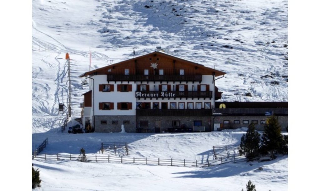
Rifugio Meraner Hütte
13.5 km away, in Avelengo/Hafling
A refuge on the Merano 2000 pastures above Avelengo, below the Kleiner Ifinger, reached from the lifts at Falzeben.
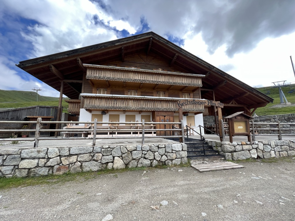
Sterzing, Pfitsch und FreienfeldMalga Kirchsteiger
13.8 km away, in Avelengo/Hafling
A dairy hut above Avelengo, on the pasture slopes between the Hafling farms and the Merano 2000 ski ground.
Nothing of this kind in Lana/Lana.
Routes
Piccola escursione circolare al Monte San Vigilio
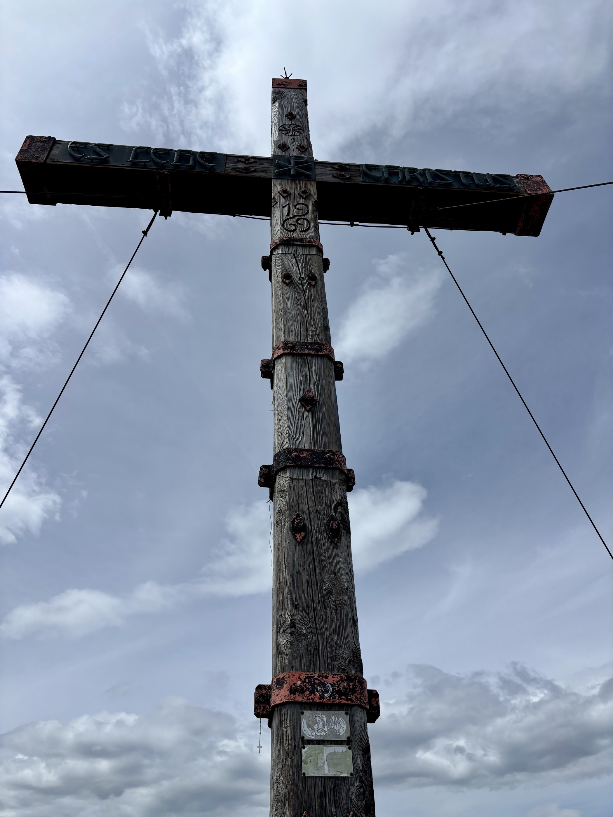
A short family loop on Monte San Vigilio, reached by the old chairlift, past the San Vigilio chapel, the Croce del Tempo and the Gampl hut.
- 2.7 km
- Distance
- 114 m
- Ascent
- 55 min
- Duration
- 36
- Check-ins
 Gasthof Jocher - Albergo Giogo 1 771 m
- Gasthof Sessellift 1 821 m
- Familyalm Gampl - Albergo Gampl 1 707 m
 Vigiljoch - Monte San Vigilio 1 747 m
Open route Partschins - Rabland - TöllMonte San Vigilio - malga Bagno dell'Orso - malga di Naturno
A walk from the top of the San Vigilio chairlift past the church and the Orso dairy, then on paths 2 and 9 to the Naturno alp at 1,910 m.
- 11.6 km
- Distance
- 308 m
- Ascent
- 3 h 47 min
- Duration
- 82
- Check-ins
- Naturnser Alm - Malga Naturno 1 912 m
- Gasthof Jocher - Albergo Giogo 1 771 m
- Gasthof Sessellift 1 821 m
- Bärenbadalm - Malga Bagno dell'Orso 1 705 m
- Restaurant 1500 1 493 m
- Familyalm Gampl - Albergo Gampl 1 707 m
- +1
Open route Partschins - Rabland - TöllFoiana - Bagni di Foiana - Plazzoles - Monte Luco
A long climb from Foiana by the old baths and Plazzoles to Monte Luco, whose double summit is reached by the gentle south ridge.
- 13.7 km
- Distance
- 1 777 m
- Ascent
- 7 h 14 min
- Duration
- 46
- Check-ins
 Laugen 2 434 m
- Innerberg 1 757 m
 Laugensee - Lago del Monte Luco 2 182 m
- Gfrillner Alm - Malga di Caprile 1 838 m
- Völlaner Badl 840 m
- Obertalmuehle 663 m
- +7
Open route Partschins - Rabland - TöllVia Claudia Augusta, Merano-Salorno
The Via Claudia Augusta from Marlengo by Lana and Nalles to Bolzano, through the castle country south of Merano.
- 58.1 km
- Distance
- 157 m
- Ascent
- 5 h 21 min
- Duration
- 32
- Check-ins
- Maso al Lago - Schenk 237 m
- Castelfeder - Grill-Imbiss - ristoro 221 m
- Touristinfo 303 m
- Tourismusverein Marling 363 m
- Touristen Information - Ufficio informazioni turistiche 283 m
- Tourist Office Tscherms/Cermes 294 m
- +5
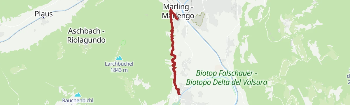
Open route Südtirols SüdenEscursione facile lungo la roggia di Marlengo
An easy, near-level walk on the Marlinger Waalweg, the longest irrigation-channel path in South Tyrol, with the Wieser-Hütte and Waalerhütte for a stop.
- 6.9 km
- Distance
- 104 m
- Ascent
- 1 h 55 min
- Duration
- 22
- Check-ins
- Wieser-Hütte 468 m
- Leitenschenke 451 m
- Waalerhütte 482 m
- Kraftwerk Marling - Ausgleichsbecken - Centrale elettrica di Marlengo - bacino di compensazione 425 m
Open route Partschins - Rabland - TöllMonte San Vigilio - chiesetta San Vigilio - malga di Naturno
A family walk from the top of the San Vigilio cable car by the little church out to the Naturno dairy, through larch wood and bramble that colour in autumn.
- 10.5 km
- Distance
- 371 m
- Ascent
- 3 h 23 min
- Duration
- 59
- Check-ins
- Naturnser Alm - Malga Naturno 1 912 m
- Gasthof Jocher - Albergo Giogo 1 771 m
- Gasthof Sessellift 1 821 m
- Vigiljoch - Monte San Vigilio 1 747 m
Open route Partschins - Rabland - TöllDal Monte San Vigilio fino la guardia Alta di Naturno
A long climb from the San Vigilio lift by the Orso dairy and the Naturno alp to the Rauher Buhel and the Hochwart at the head of the plateau.
- 19.1 km
- Distance
- 1 043 m
- Ascent
- 7 h 25 min
- Duration
- 41
- Check-ins
- Naturnser Hochwart 2 608 m
- Martscheinberg - Monte Marcegno 2 019 m
- Gasthof Jocher - Albergo Giogo 1 771 m
- Gasthof Sessellift 1 821 m
- Vigiljoch - Monte San Vigilio 1 747 m
- Nörderscharte 2 372 m
- +1
Open route Partschins - Rabland - TöllLa pista ciclabile dell’Adige: da Marlengo a Bolzano
The Adige cycle path from Marlengo down through Lana and Gargazzone to Bolzano, level throughout.
- 33.5 km
- Distance
- 41 m
- Ascent
- 3 h 3 min
- Duration
- 12
- Check-ins
- Tourismusverein Marling 363 m
- Tourist Office Tscherms/Cermes 294 m
- Tourist office Lana and environs 303 m
- Naturbar 257 m
- Naturbad Gargazon 255 m
- Al Puntogiusto 257 m
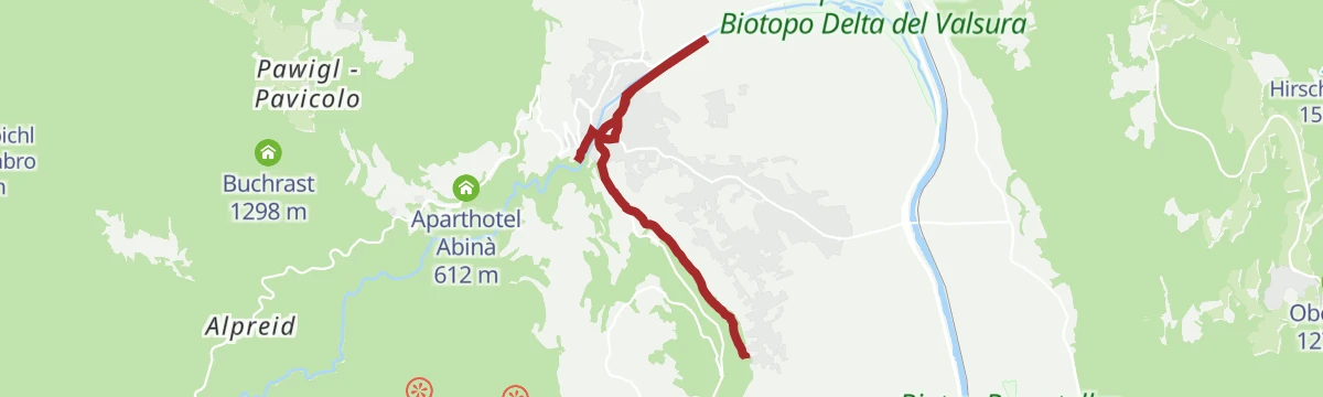
Open route Sterzing, Pfitsch und FreienfeldSan Vigilio - Pavicolo - Lana
A descent on path 34 from the San Vigilio top station through Pavicolo and the Greitwies inn to Lana, with the Aichbergweg as an alternative finish.
- 6.9 km
- Distance
- 0 m
- Ascent
- 3 h
- Duration
- 18
- Check-ins
- Aichberg - Monte dei Rovi 1 494 m
- Restaurant 1500 1 493 m
- Aparthotel Abinà 612 m
- Jausenstation Greitwies 883 m
- Zollweghof Bio Weingut 486 m
- St. Magnus Kirche 462 m
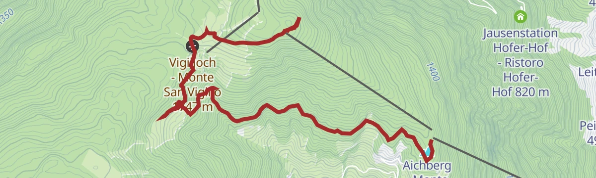
Open route Partschins - Rabland - TöllSulle tracce dell’acqua – lungo il sentiero delle sorgenti al Monte San Vigilio
A loop from the top of the San Vigilio cable car through larch wood to the Bärenbad dairy and up to the church of San Vigilio, a lookout over Lana.
- 5.8 km
- Distance
- 347 m
- Ascent
- 1 h 55 min
- Duration
- 53
- Check-ins
- Aichberg - Monte dei Rovi 1 494 m
- Gasthof Jocher - Albergo Giogo 1 771 m
- Gasthof Sessellift 1 821 m
- Bärenbadalm - Malga Bagno dell'Orso 1 705 m
- Restaurant 1500 1 493 m
- Vigiljoch - Monte San Vigilio 1 747 m
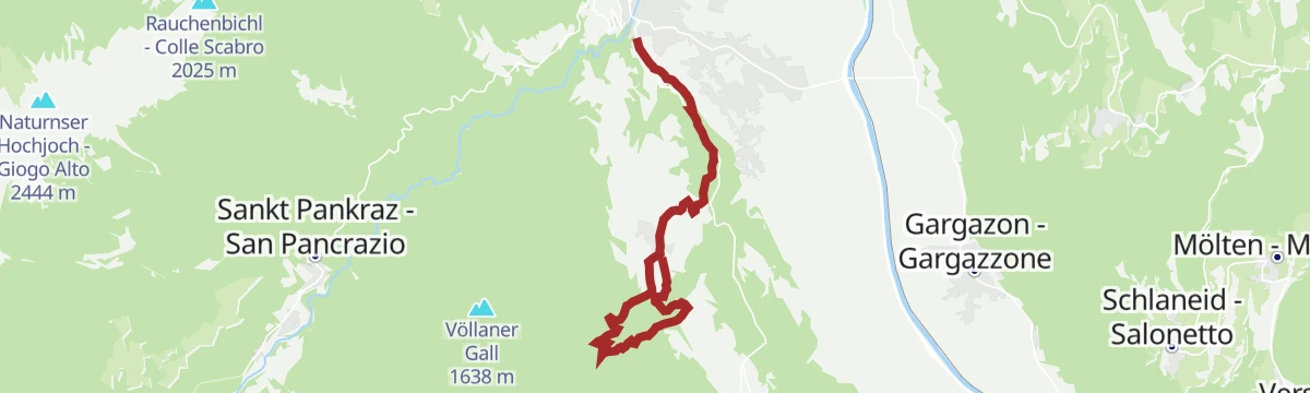
Open route Partschins - Rabland - TöllLana - Pavicolo - Monte San Vigilio
A full climb from Lana on the Aichberg nature trail by way of Pavicolo up to the Monte San Vigilio plateau.
- 6.7 km
- Distance
- 1 182 m
- Ascent
- 4 h 29 min
- Duration
- 18
- Check-ins
- Aichberg - Monte dei Rovi 1 494 m
- Restaurant 1500 1 493 m
- Aparthotel Abinà 612 m
- Jausenstation Greitwies 883 m
- Zollweghof Bio Weingut 486 m
- St. Magnus Kirche 462 m
Open route Partschins - Rabland - TöllIn bici tra i meleti della Valle d’Adige alla scoperta di borghi e tradizioni
A long, almost flat route through the apple orchards of the Adige valley, linking the villages and farm inns between Lana and Gargazon.
- 28.1 km
- Distance
- 100 m
- Ascent
- 2 h 35 min
- Duration
- 5
- Check-ins
Foiana - Talmühle - Narano - Tesimo
An easy walk from the farm museum at Foiana on path 8, over a seventeenth-century bridge by the Talmühle and past the Narano pond towards Tesimo.
- 4.0 km
- Distance
- 73 m
- Ascent
- 1 h 10 min
- Duration
- 6
- Check-ins
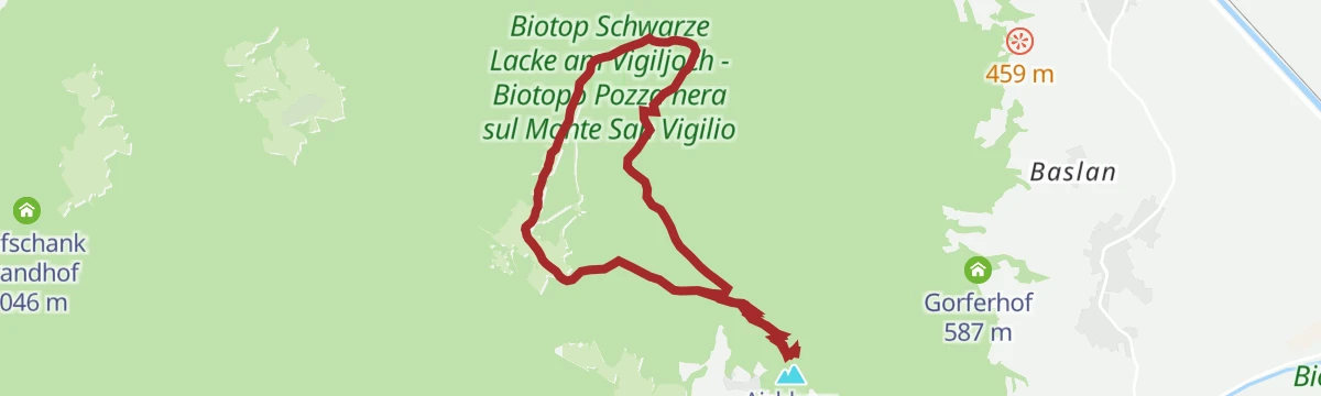
Open route Partschins - Rabland - TöllMonte di Marlengo e Monte San Vigilio
A walk on the wooded ridge above Lana, crossing the Vigiljoch saddle past the Schwarze Lacke tarn and a string of mountain inns.
- 12.8 km
- Distance
- 578 m
- Ascent
- 4 h 25 min
- Duration
- 47
- Check-ins
- Gasthof Jocher - Albergo Giogo 1 771 m
- Schwarze Lacke - Pozza nera 1 743 m
- Restaurant 1500 1 493 m
- Familyalm Gampl - Albergo Gampl 1 707 m
- Vigiljoch - Monte San Vigilio 1 747 m
- Gasthaus Seespitz 1 747 m
- +1
Open route Partschins - Rabland - TöllSentiero "Ochsentod" verso San Vigilio
A stiff climb to San Vigilio on the Ochsentod, starting at Lana by the Aichberg trail and via Raffein through orchards and vineyards past the Haidenhof.
- 7.9 km
- Distance
- 1 175 m
- Ascent
- 4 h 35 min
- Duration
- 14
- Check-ins
- Restaurant 1500 1 493 m
- Berggasthaus Haidenhof 542 m
- Peilerhof 492 m
- Jausenstation Hofer-Hof - Ristoro Hofer-Hof 820 m
- Gorferhof 587 m
- Lebenberger Alm 1 372 m
Open route Partschins - Rabland - TöllGiro in bicicletta attraverso campi di asparagi e i meleti in fiore
A flat valley tour past the asparagus fields around Terlano and the orchards towards Gargazzone, with the Naturbad as a stop on the way.
- 29.2 km
- Distance
- 54 m
- Ascent
- 2 h 38 min
- Duration
- 2
- Check-ins
- Naturbar 257 m
- Naturbad Gargazon 255 m
- Al Puntogiusto 257 m
- Restaurant Pircher 255 m
- Kathi´s Jausenstation - Ristoro Kathi´s 257 m
- Granitzhof 256 m
- +1
Open route Sterzing, Pfitsch und FreienfeldLana Percorso didattico culturale e naturalistico Aichberg
A steep interpretive path above Lana with boards on geology, orchards and vines, starting with the Marlengo Waalweg and turning up at via Raffein.
- 4.6 km
- Distance
- 329 m
- Ascent
- 2 h 10 min
- Duration
- 2
- Check-ins
Open route Partschins - Rabland - TöllGrande percorso panoramico al Monte San Vigilio
A varied circuit on the Monte San Vigilio plateau above Lana, reached by cable car and open in every direction.
- 8.1 km
- Distance
- 373 m
- Ascent
- 2 h 49 min
- Duration
- 46
- Check-ins
- Aichberg - Monte dei Rovi 1 494 m
- Gasthof Jocher - Albergo Giogo 1 771 m
- Schwarze Lacke - Pozza nera 1 743 m
- Restaurant 1500 1 493 m
- Familyalm Gampl - Albergo Gampl 1 707 m
- Gasthaus Seespitz 1 747 m
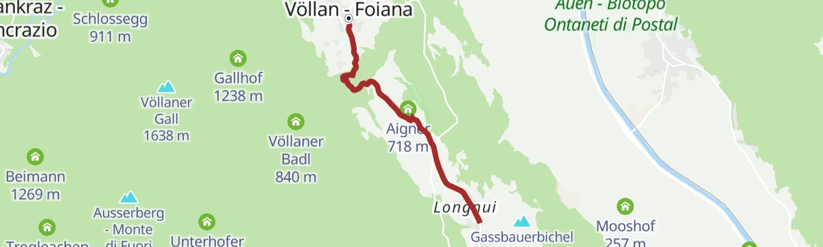
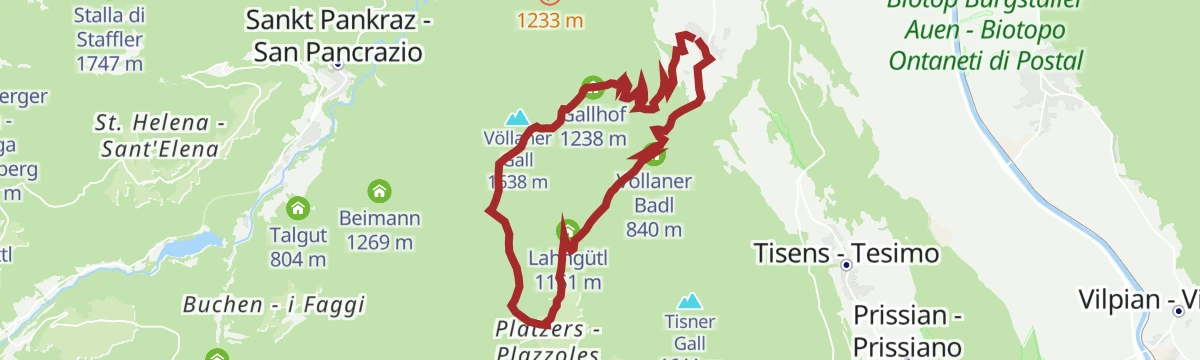
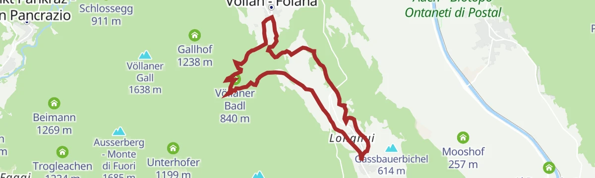
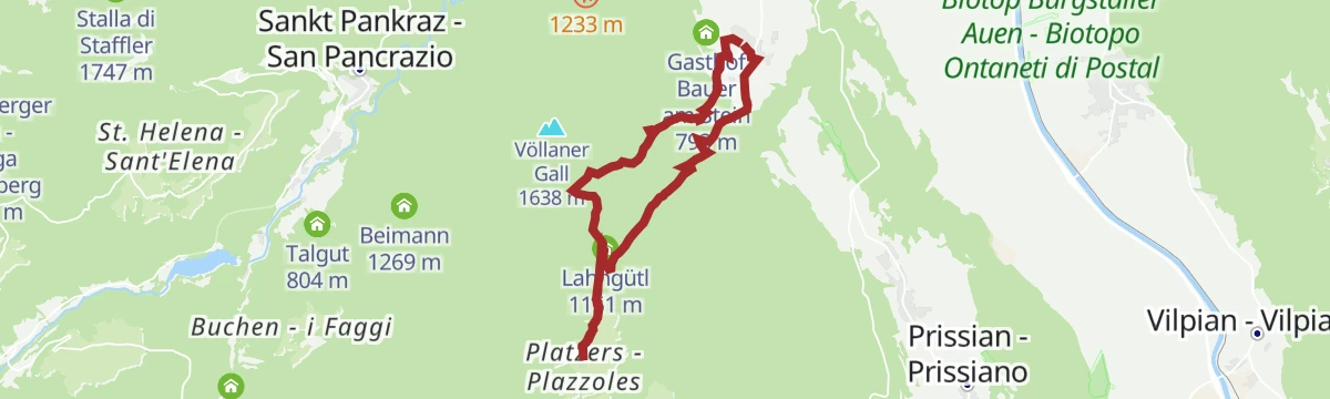
Open route Partschins - Rabland - TöllFoiana - Gruberhof - Gallhof - Giogo di Foiana - Plazzoles
A demanding route from the church at Foiana past the old Nagelehof and the Gruberhof up to the Giogo di Foiana and down to Plazzoles.
- 13.6 km
- Distance
- 950 m
- Ascent
- 6 h 20 min
- Duration
- 4
- Check-ins
- Völlaner Badl 840 m
- Gallhof 1 238 m
- Obertalmuehle 663 m
- Völlaner Joch - Giogo di Foiana 1 635 m
- Lahngütl 1 151 m
- Oberhofer 1 197 m
- +3
Open route Partschins - Rabland - TöllGiro in bicicletta da Vilpiano a Lana
An almost level family ride from Vilpiano down the valley to Lana, where the Schnatterpeck altar and the fruit-growing museum are within reach.
- 20.7 km
- Distance
- 10 m
- Ascent
- 1 h 51 min
- Duration
- 2
- Check-ins
- Naturbar 257 m
- Naturbad Gargazon 255 m
- Al Puntogiusto 257 m
- Restaurant Pircher 255 m
- Kathi´s Jausenstation - Ristoro Kathi´s 257 m
- Mooshof 257 m
- +2
Open route Sterzing, Pfitsch und FreienfeldLana Percorso artistico
An art route on the Brandis, Gola and Länd promenades along the Valsura at Lana, set with sculptures by artists from many countries.
- 6.0 km
- Distance
- 51 m
- Ascent
- 1 h 31 min
- Duration
Open route Partschins - Rabland - TöllEscursione in quota sul Monte San Vigilio
A high-level walk on the Monte San Vigilio plateau above Lana, starting at about 1,450 m.
- 8.3 km
- Distance
- 324 m
- Ascent
- 2 h 44 min
- Duration
- 38
- Check-ins
- Gasthof Jocher - Albergo Giogo 1 771 m
- Schwarze Lacke - Pozza nera 1 743 m
- Restaurant 1500 1 493 m
- Familyalm Gampl - Albergo Gampl 1 707 m
- Gasthaus Seespitz 1 747 m
Open route Partschins - Rabland - TöllPasseggiata Gola
The Gola promenade at Lana, cut in 1888 by a local innkeeper, running within minutes of the village into a wooded ravine of small waterfalls.
- 401 m
- Distance
- 23 m
- Ascent
- 8 min
- Duration
Open route Partschins - Rabland - TöllSentiero della roggia (Waalweg) di Marlengo da Lana
An irrigation-channel path at about 450 m from Lana through Cermes and Marlengo to Foresta, extendable to the Tappeiner promenade at Merano.
- 9.7 km
- Distance
- 94 m
- Ascent
- 2 h 25 min
- Duration
- 31
- Check-ins
- Wieser-Hütte 468 m
- Leitenschenke 451 m
- Waalerhütte 482 m
- Aqualis - Restaurant, Café 492 m
- Gasthaus Schönblick 482 m
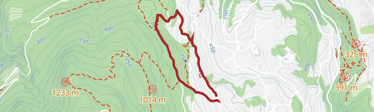
Open route Partschins - Rabland - TöllSentiero della roggia Brandis a Lana
A nearly level irrigation-channel path linking upper and lower Lana between vineyards, orchards and chestnut groves, easy with a pushchair.
- 2.8 km
- Distance
- 22 m
- Ascent
- 43 min
- Duration
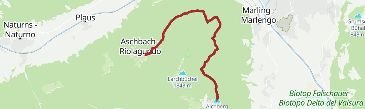
Open route Partschins - Rabland - TöllDal Monte San Vigilio lungo il Sentiero Egger fino a Rio Lagundo
A walk from the top of the San Vigilio cable car on the Egger path, past the Eggerhof, over the wooded plateau to Rio Lagundo.
- 9.4 km
- Distance
- 195 m
- Ascent
- 2 h 49 min
- Duration
- 18
- Check-ins
Open route Partschins - Rabland - TöllSentiero didattico sul castagno
A short interpretive walk from the church at Foiana with stations on the chestnut, its timber, its fruit and the local varieties.
- 2.7 km
- Distance
- 118 m
- Ascent
- 55 min
- Duration
Open route Partschins - Rabland - TöllDal Monte San Vigilio lungo il Sentiero Egger fino al maso Eggerhof
A medium walk on the Egger path from San Vigilio towards Aschbach, through conifer wood past the Laghetto Nero, with the Dolomites in view at the start.
- 9.3 km
- Distance
- 269 m
- Ascent
- 2 h 50 min
- Duration
- 18
- Check-ins
Open route Partschins - Rabland - TöllPercorso circolare fino a Foiana
A varied loop from Tesimo over to Foiana, where the farming museum is worth the stop.
- 10.9 km
- Distance
- 410 m
- Ascent
- 3 h 34 min
- Duration
- 14
- Check-ins
Open route Partschins - Rabland - TöllDa Lana passando per Foiana fino a S. Ippolito
A route from Lana on the Brandis channel path to Foiana, past Santa Margherita, the farm museum and the old baths, up to the church on Sant'Ippolito.
- 9.5 km
- Distance
- 607 m
- Ascent
- 3 h 27 min
- Duration
- 3
- Check-ins
Open route Partschins - Rabland - TöllFoiana - Gruberhof - Plazzoles
A hike for experienced walkers from the church at Foiana past the Nagelehof and Gruberhof to the hamlet of Plazzoles.
- 11.8 km
- Distance
- 690 m
- Ascent
- 4 h 50 min
- Duration
- 3
- Check-ins
- Völlaner Badl 840 m
- Obertalmuehle 663 m
- Lahngütl 1 151 m
- Oberhofer 1 197 m
- Oberhauser 1 147 m
- Unterhauser 1 148 m
- +1
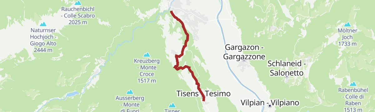
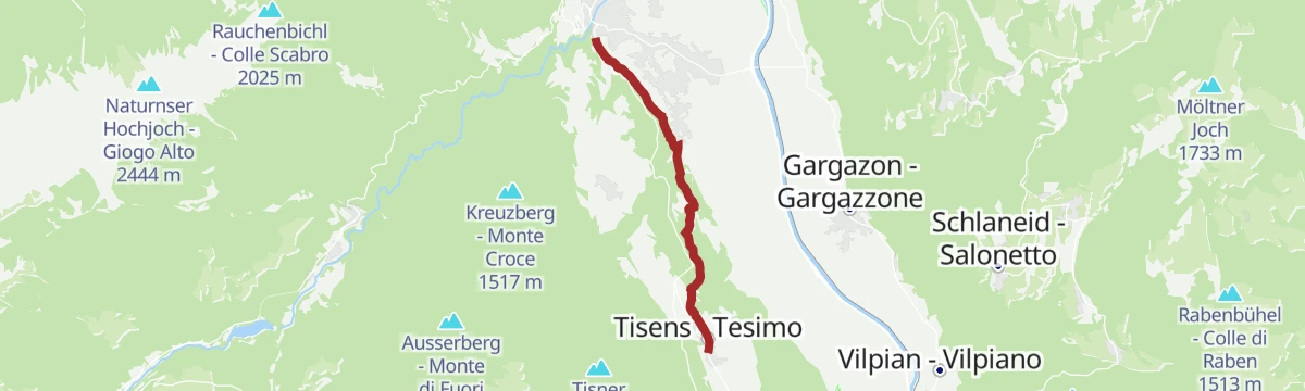
Open route Partschins - Rabland - TöllDa Lana attraverso Foiana a Tesimo
A walk from Lana by way of Foiana to Tesimo, passing convents and country churches and the quiet pond at Narano.
- 8.5 km
- Distance
- 446 m
- Ascent
- 2 h 48 min
- Duration
- 2
- Check-ins
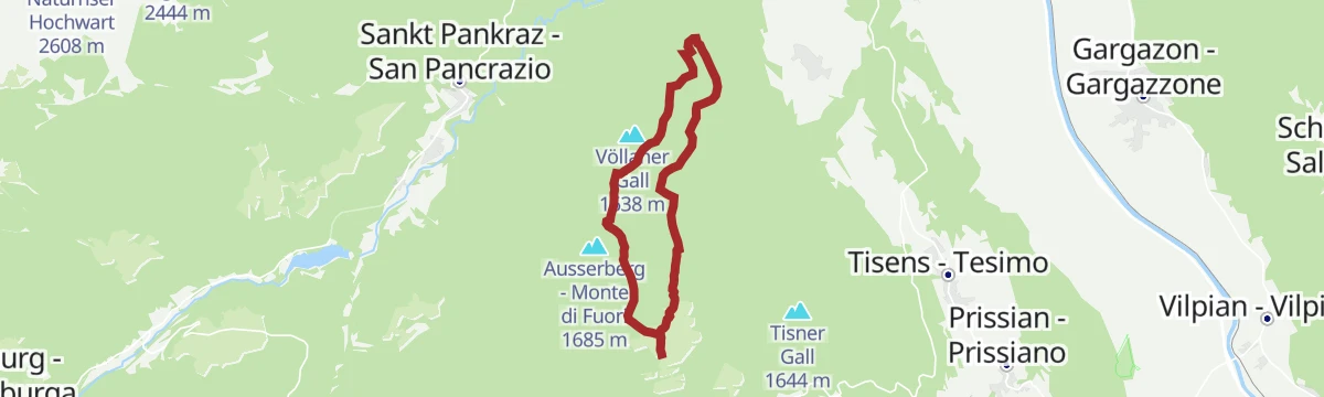
Open route Partschins - Rabland - TöllDa Plazzoles ai masi Gall e ritorno
An out-and-back from the hamlet of Plazzoles to the Gall farmsteads, on the terrace above the Adige valley.
- 10.5 km
- Distance
- 562 m
- Ascent
- 4 h 2 min
- Duration
- 1
- Check-ins
- Gallhof 1 238 m
- Völlaner Joch - Giogo di Foiana 1 635 m
- Lahngütl 1 151 m
- Oberhofer 1 197 m
- Unterhofer 1 199 m
Open route Partschins - Rabland - TöllDa Lana di Sopra per il Sentiero della Roggia di Brandis e la via crucis a Tesimo
A route from upper Lana along the Brandis channel path and up the stations of the cross to Tesimo.
- 6.9 km
- Distance
- 360 m
- Ascent
- 2 h 13 min
- Duration
Open route Partschins - Rabland - TöllFoiana Sentiero panoramico
A hillside path above Foiana with two viewing platforms looking over the Merano basin, starting beyond the old Nagelehof.
- 6.4 km
- Distance
- 429 m
- Ascent
- 2 h 52 min
- Duration
Open route Partschins - Rabland - Töll
No routes of this kind in Lana/Lana yet.
The region's own picks

Featured route
Piccola escursione circolare al Monte San Vigilio
A short family loop on Monte San Vigilio, reached by the old chairlift, past the San Vigilio chapel, the Croce del Tempo and the Gampl hut.
Planning a trip to Lana/Lana?
Everything else Trentino-Alto Adige/Südtirol has, in one place


Take Lana/Lana with you into the mountains
Every route on this page with 3D terrain, GPX navigation and offline maps — including the valleys with no signal.
Data sources
- Official website: merano-suedtirol.it ↗
- Routes and highlights: Partschins - Rabland - Töll, Sterzing, Pfitsch und Freienfeld, Italia.it, YesAlps, Südtirols Süden, Andrian
- Published as open data by the tourist boards named above.
- Region summary generated from the board's own material.
