
 Viewpoint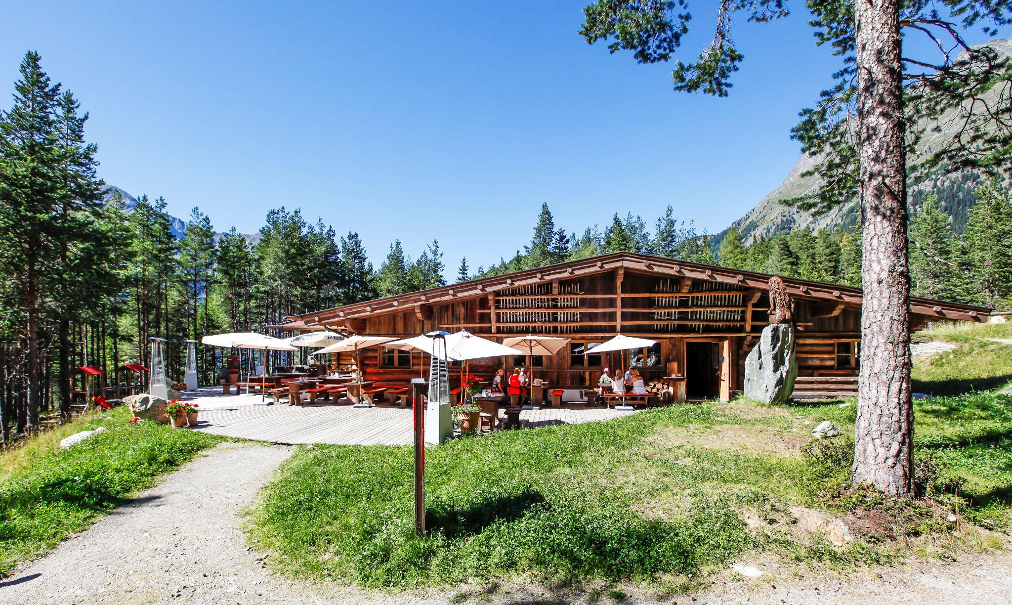
















Curated by Ötztal Tourismus
Längenfeld
The Ötztal's most populous municipality, spread across the valley's widest basin, where the Aqua Dome thermal spa steams beneath 3,000 m Ötztaler ridges.
Photo: Bbb licence
- 38Highlights
- 91Routes
- Featured summit · Äußerer Hahlkogel
Highlights
The 20 highest-rated · see the rest on oetztal.com ↗
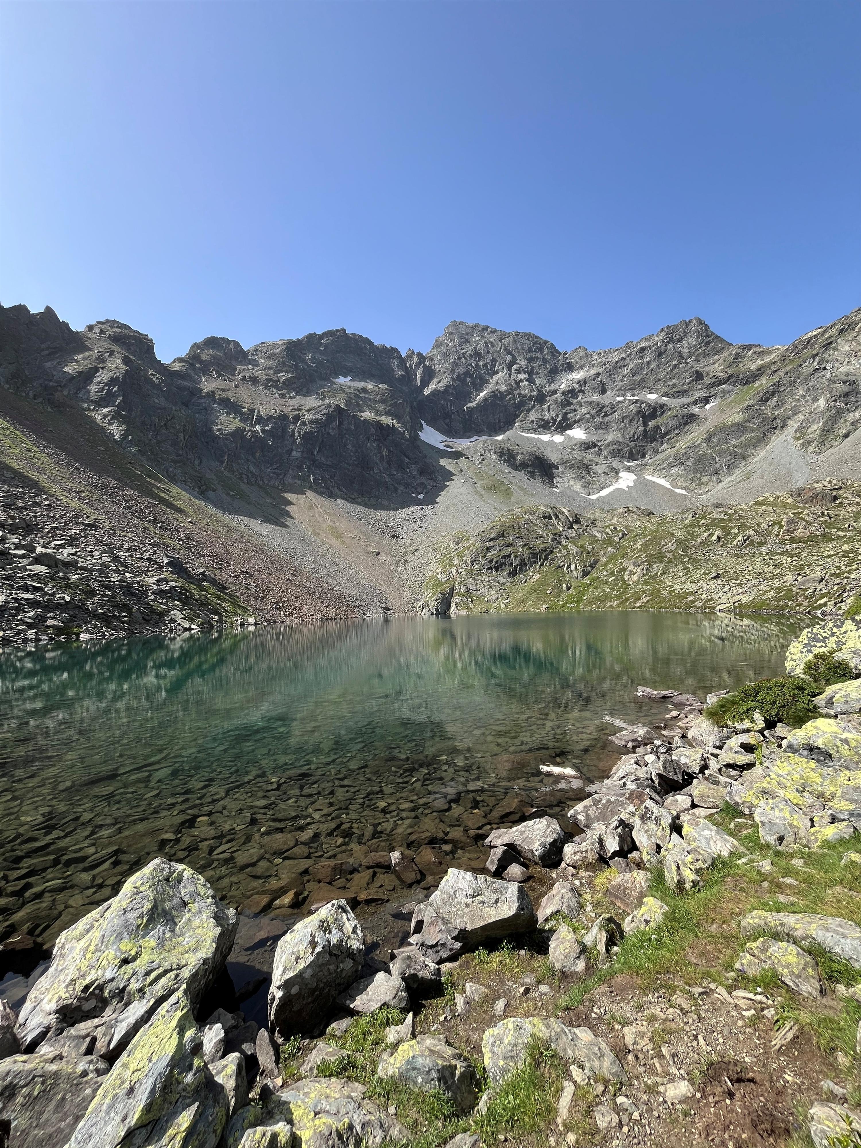
Schönrinnenkarsee
A cirque lake above 2,000 m in the mountains behind Gries, reached on a long walk well away from the main marked routes.
Winkelbergsee
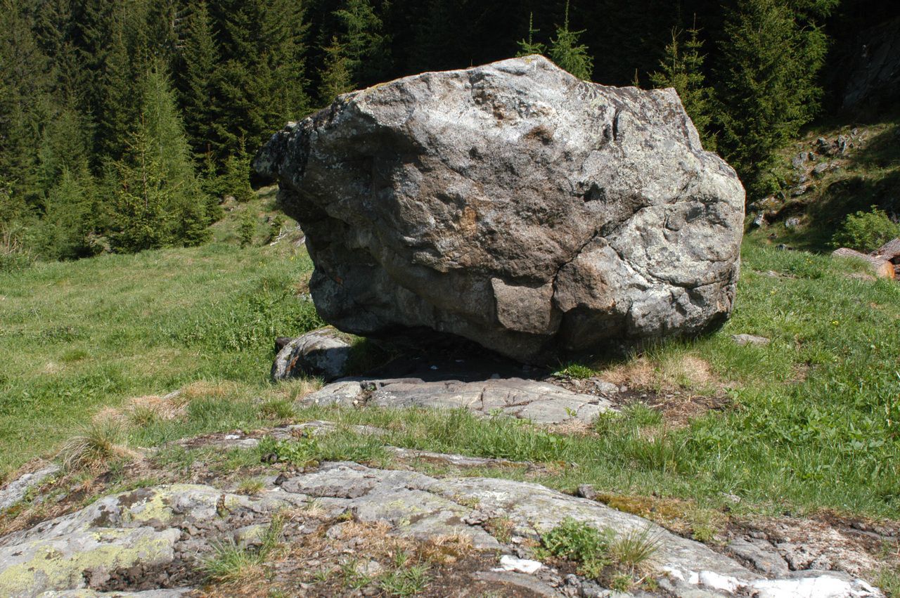
A shallow lake in the boulder forest of the Köfels rockslide, where cold air seeps from cavities between house-sized granite blocks.
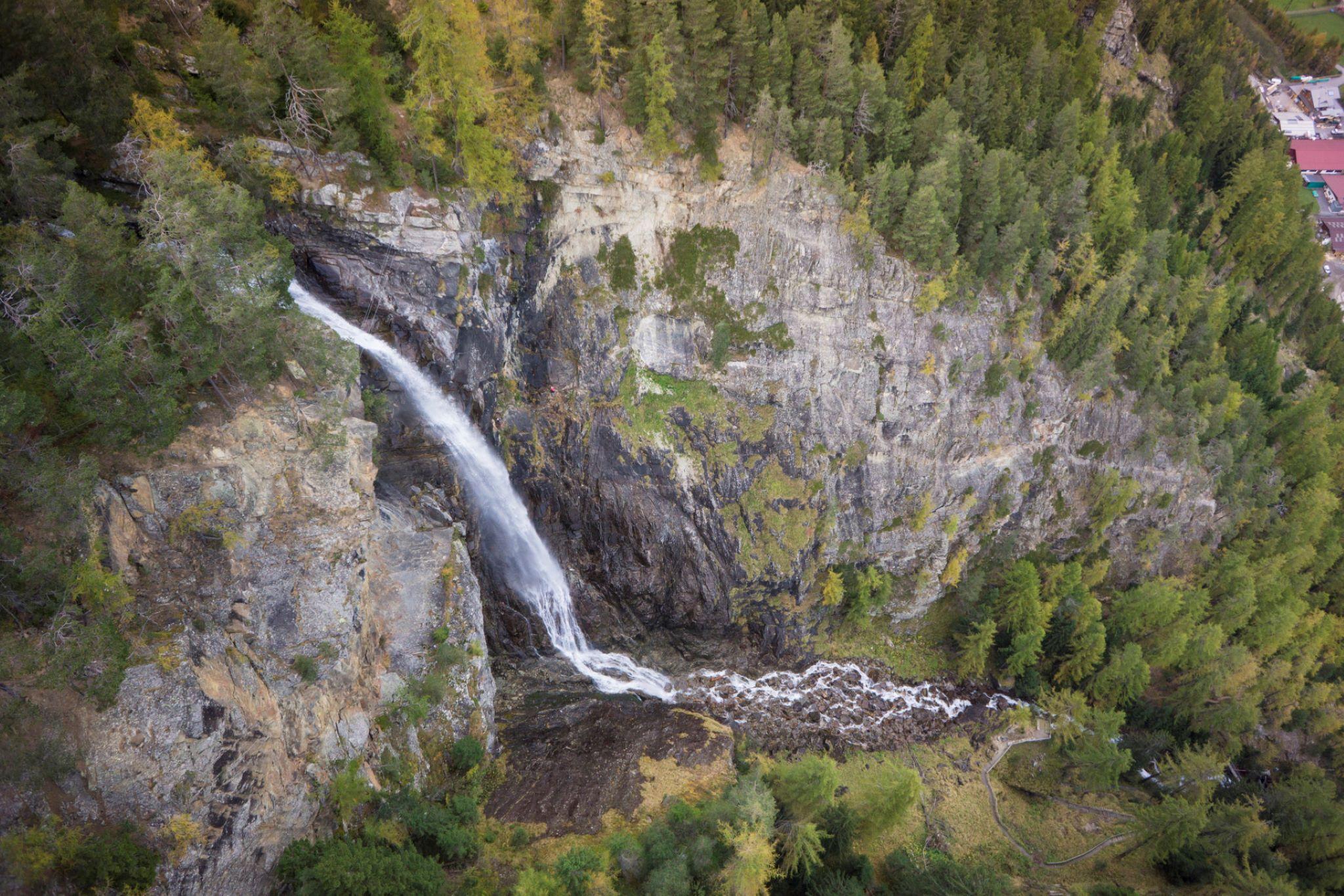
Lehner Wasserfall
An 80 m fall into a gorge near Lehn. A maintained path climbs to about half height, and a via ferrata runs up the rock beside the water.
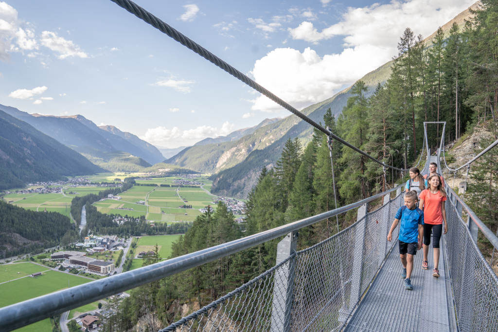
Hängebrücke Längenfeld
An 83 m suspension bridge strung 220 m above the valley floor, with the whole of Längenfeld below it.
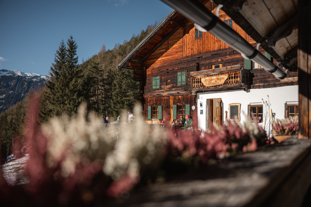
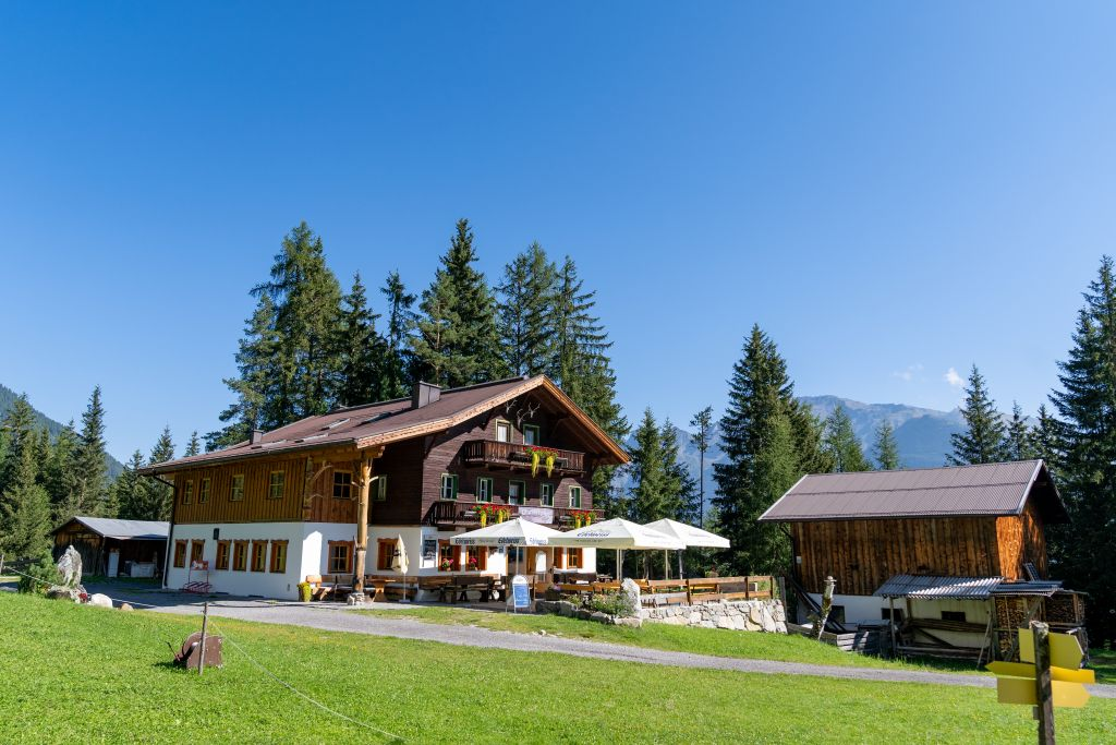
Alpengasthof am Feuerstein
A former alpine dairy high above the Längenfeld valley floor, rebuilt as an inn and reached on foot from the sports ground.
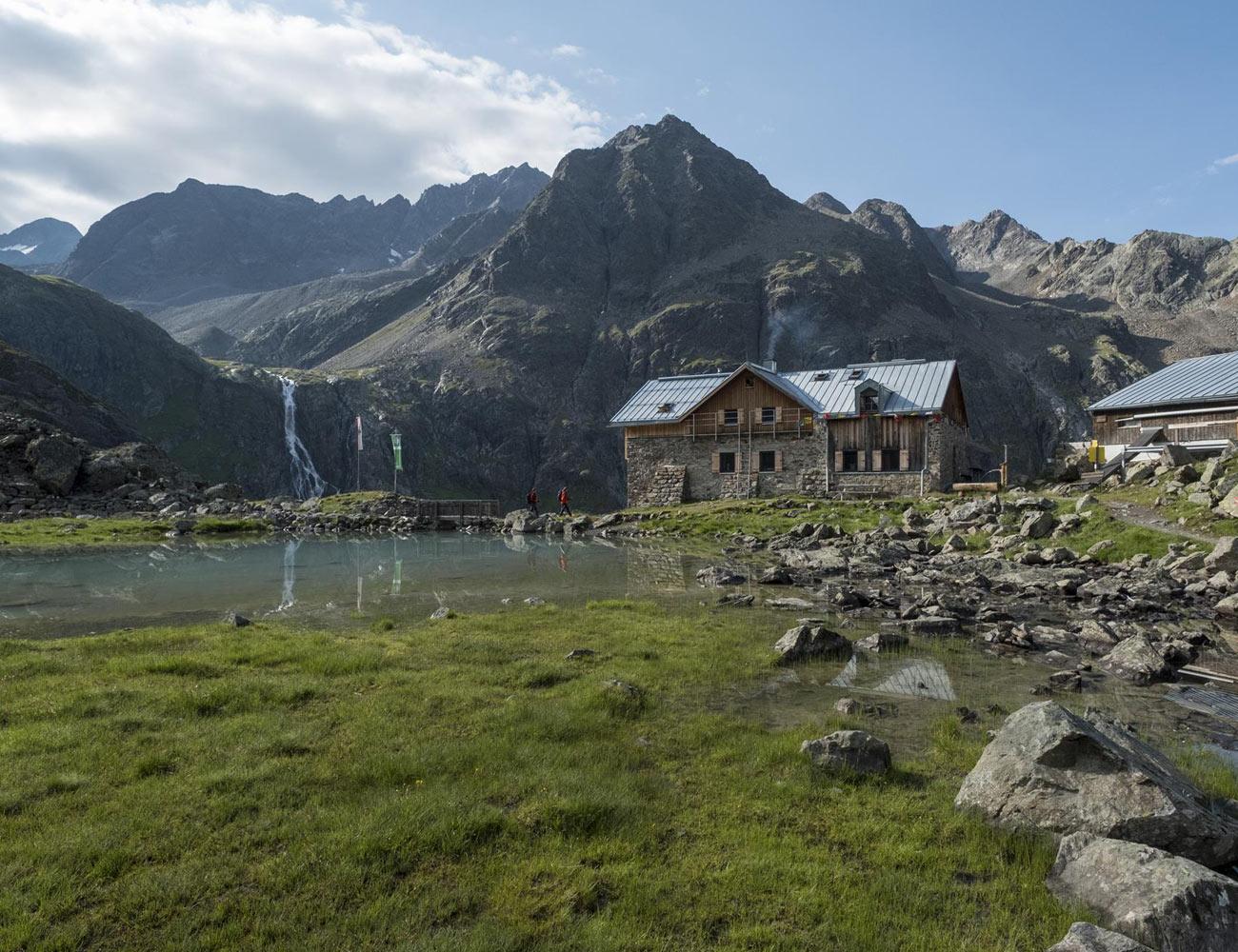
Amberger Hütte
An Alpine Club hut at 2,136 m below the Schrankogel in the Stubai Alps, about two hours up the Sulztal from Gries.
Brandalm
An alpine pasture on a plateau 200 m above Längenfeld, under an hour's walk, kept with pot-bellied pigs, goats and rabbits.
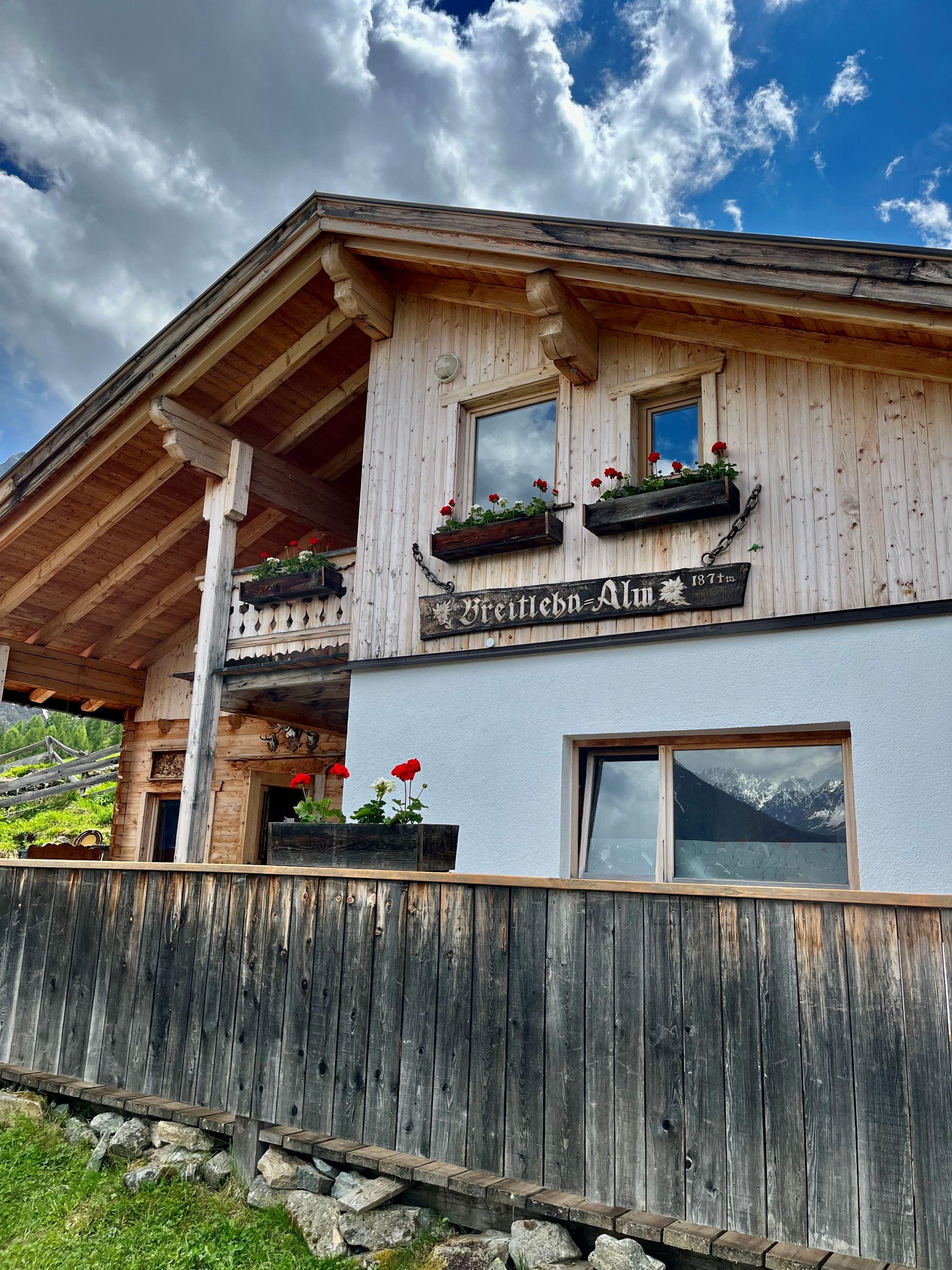
Breitlehnalm
An alpine hut at 1,874 m above Huben, with a terrace looking down the length of Längenfeld.
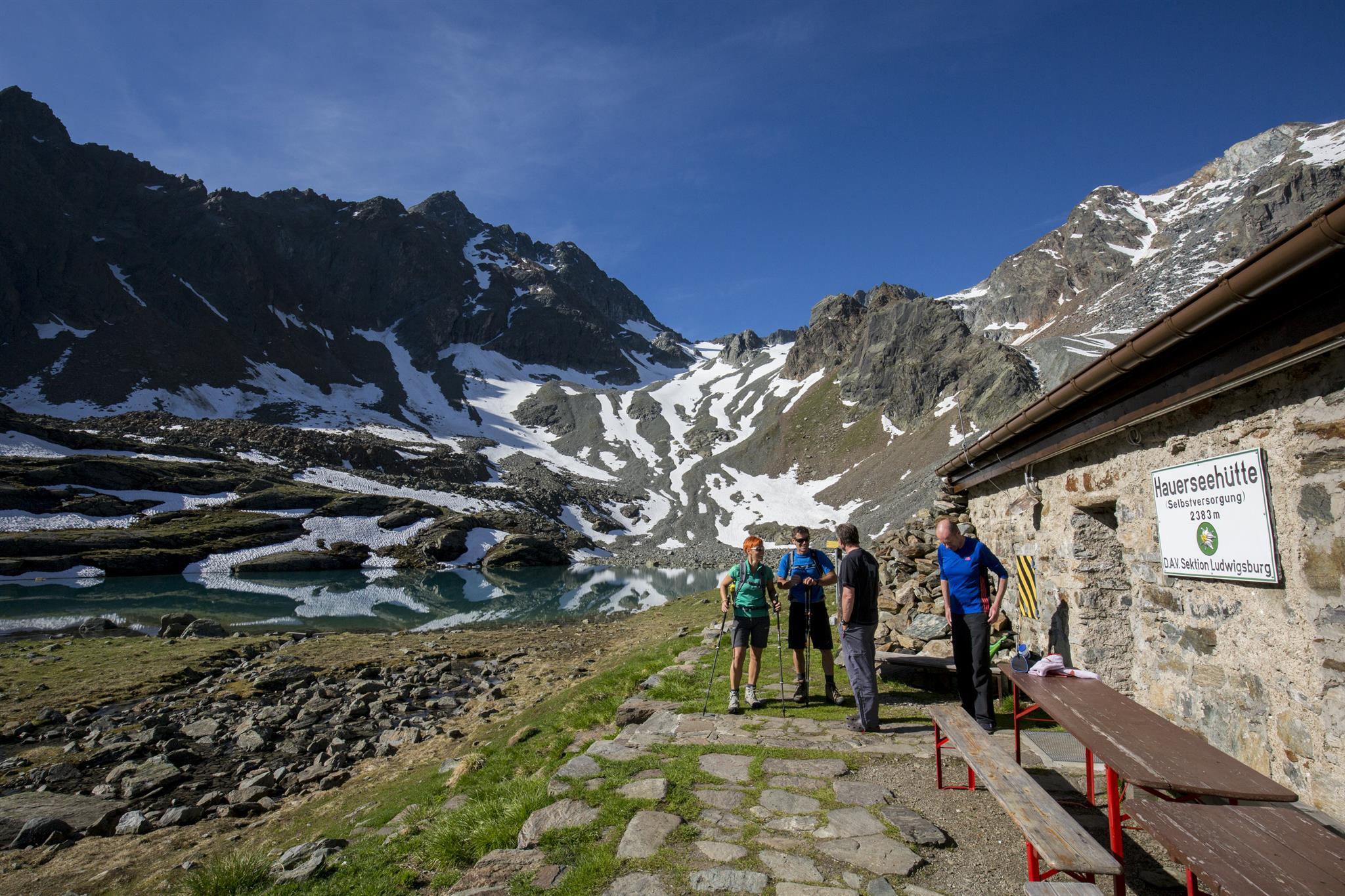
Hauerseehütte - Selbstversorgerhütte
A self-catering Alpine Club hut on the Geigenkamm, beside the Hauersee — a lake that rarely rises above 4 °C even in summer.
Innerbergalm
An alpine pasture hut above Längenfeld reached by a straightforward climb, and a base for summits along the Geigenkamm.
Naturpark Ötztal - Infopoint Gries | Wildes Wasser
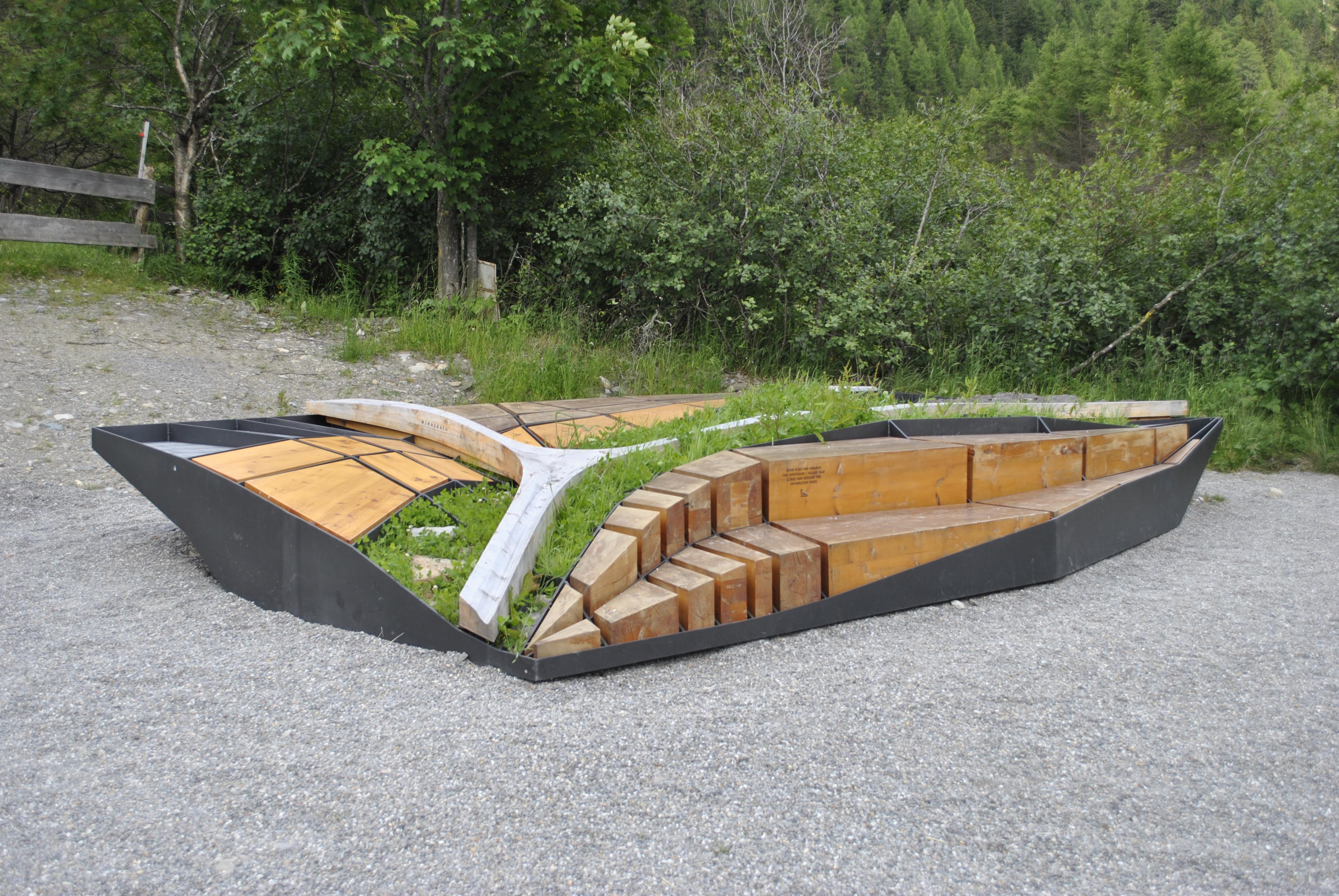
A 6 by 4 m outdoor installation at the edge of Gries, explaining how the Fischbach and Winnebach cut and shaped the valley down to Längenfeld.
Nisslalm
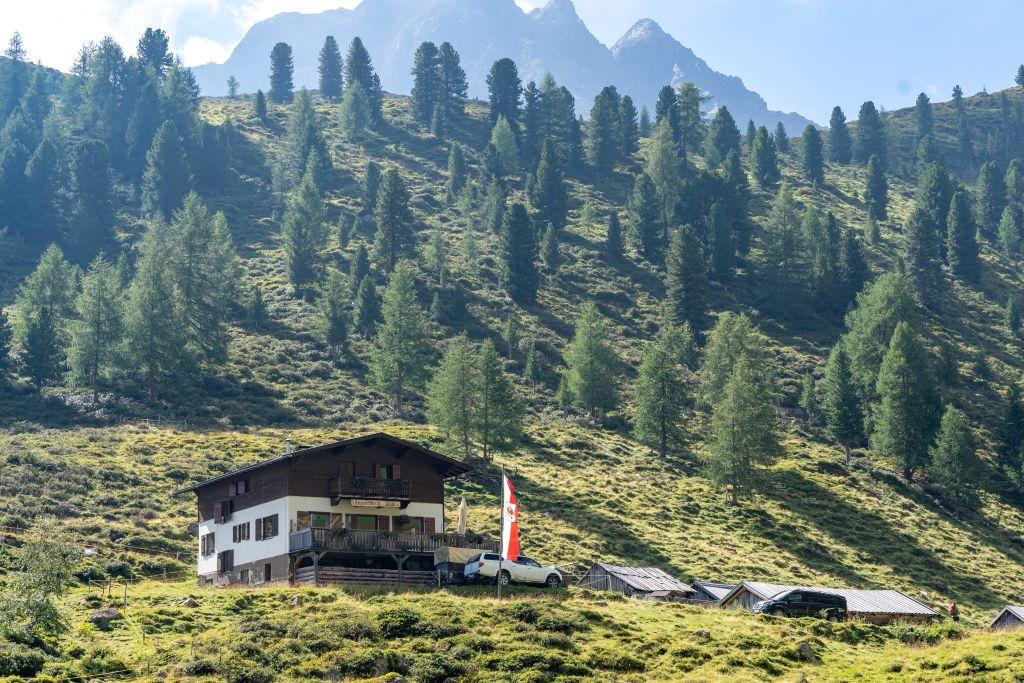
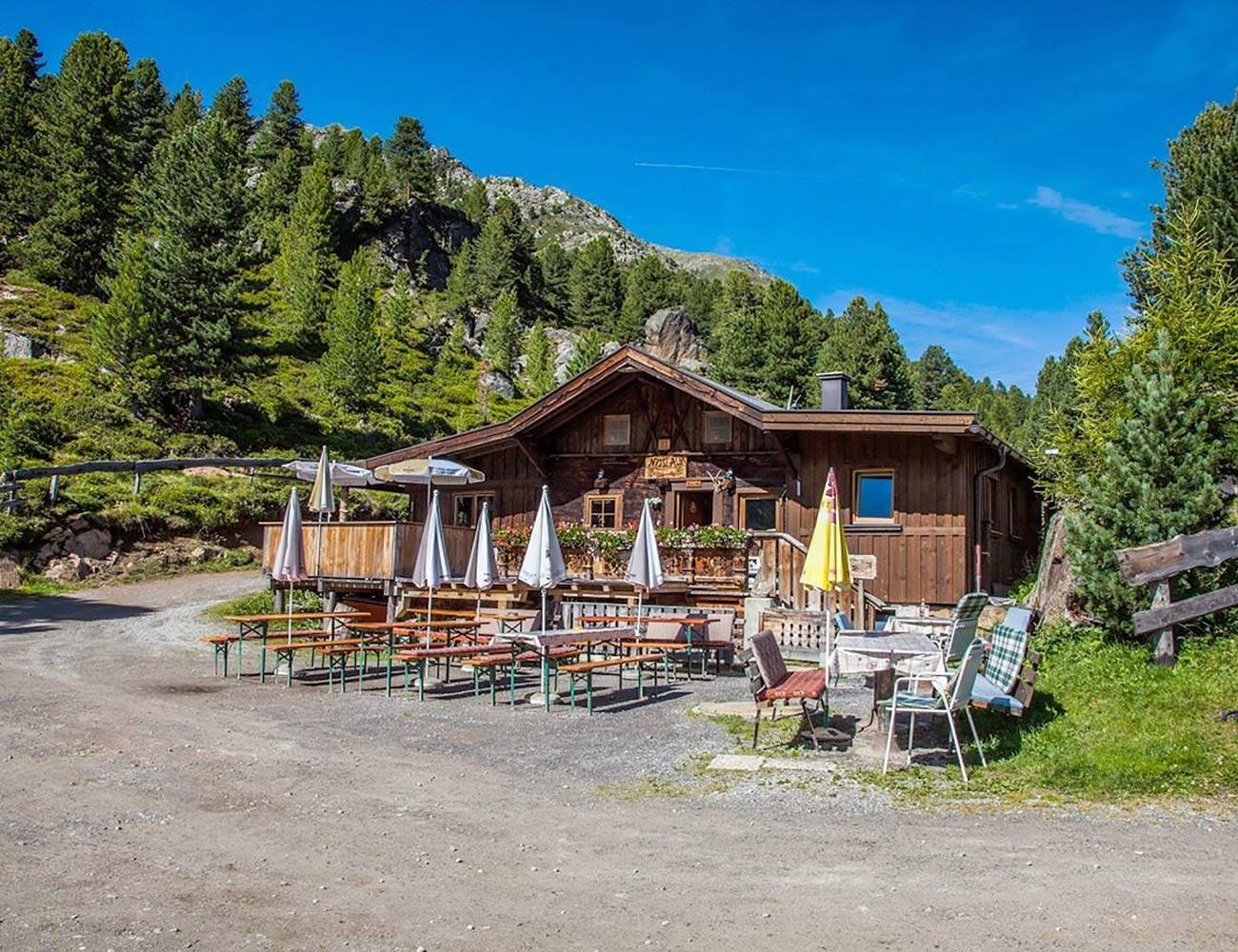
An alpine hut about two hours above Gries, used by ski tourers and sledgers in winter and by walkers in summer.
Polles Alm
An alpine pasture at 1,782 m in the Pollestal, the longest side valley of the Ötztal, about two hours' walk from Huben.
Polltalalm
An alpine pasture reached by forest road from the mill at Huben, through fern-rich larch and stone-pine woods.
Stabele Alm
An alpine hut at 1,900 m above Längenfeld, on the walking route from Köfels past the Wurzbergalm.
Sulztalalm
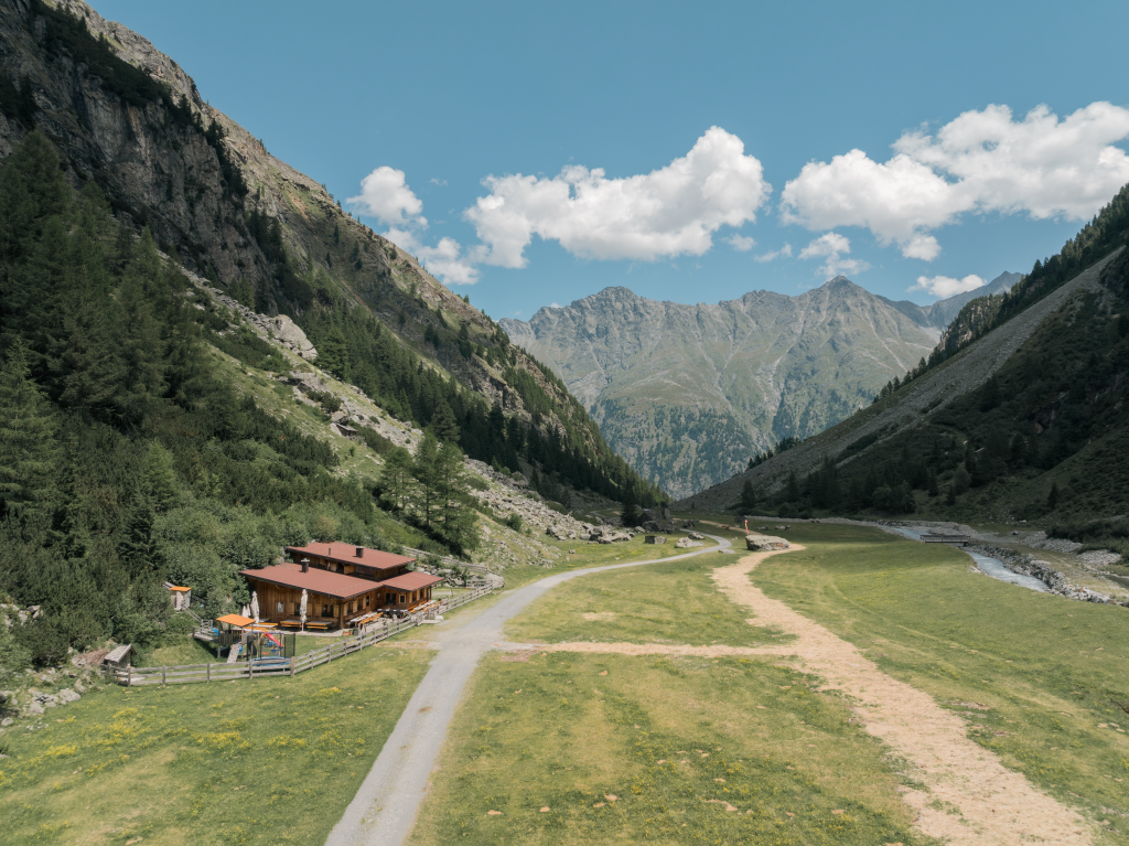
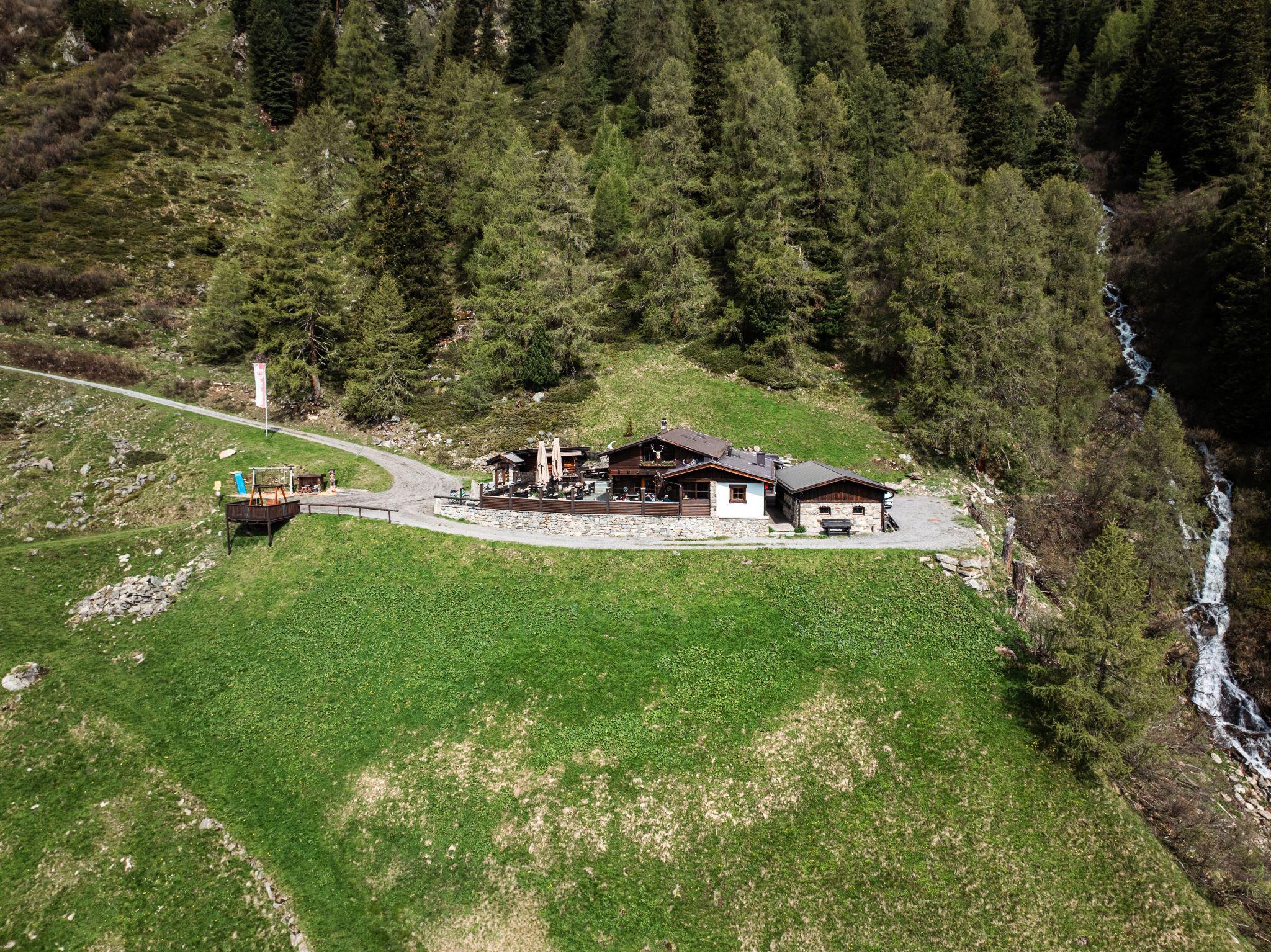
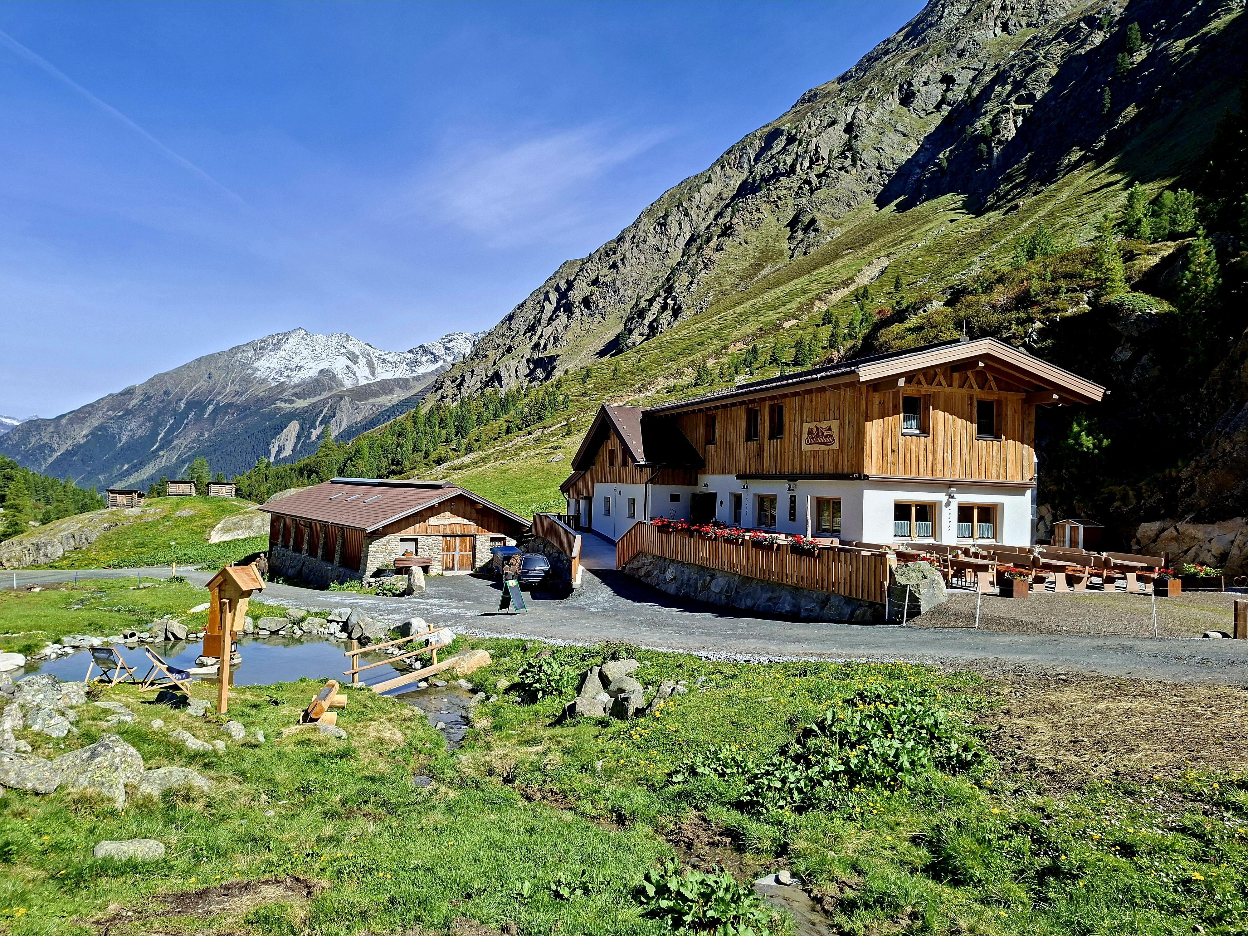
An alpine pasture at 1,915 m, about 1.5 hours up the Sulztal from the Gries car park and on the way to the Amberger Hütte.
Tauferberg
The Köfels rockslide sent some three billion cubic metres of rock across the Ötztal about 8,700 years ago; this terrace is what it left.
Wiesle
A meadow clearing at 1,528 m, recorded as a farm 450 years ago and now a walking destination above Umhausen.
Winnebachseehütte
An Alpine Club hut at 2,361 m in the Winnebach valley, two hours from Gries, with 6 beds, 22 mattress places and winter rooms.
Wurzbergalm
An alpine pasture at 1,575 m in a quiet position, family-run since it was built in 1959 and reached from Unterried or Köfels.
Nothing of this kind in Längenfeld.
Routes
50 routes, an even mix of activities · see the rest on oetztal.com ↗
Klettersteig Eckkamm | Huben
New via ferrata aimed at beginners and families near Huben, offering a short first taste of fixed-cable climbing in the middle Ötztal.
- 1.1 km
- Distance
- 170 m
- Ascent
- 48 min
- Duration
- 1
- Check-ins
Klettersteig Lehner Wasserfall | Längenfeld
Photogenic via ferrata beside the Lehner waterfall: a vertical C entry wall, a D overhang that can be bypassed, and a left-hand variant with a 20 m E crux under the fall and a 35 m rope bridge to the exit.
- 448 m
- Distance
- 184 m
- Ascent
- 46 min
- Duration
Klettersteig Reinhard Schiestl | Längenfeld
Regarded as the hardest via ferrata in the Ötztal, this short wall above Burgstein starts with a C/D overhang and stays sustained at B/C, with three rest ledges and a D step before the descent path to Längenfeld.
- 164 m
- Distance
- 0 m
- Ascent
- 4 min
- Duration
Klettersteig Lehner Wasserfall
A via ferrata beside the Lehner waterfall, its left-hand variant an overhanging line at the top grade; 367 m of climbing over 2.6 km.
- 2.4 km
- Distance
- 391 m
- Ascent
- 2 h 41 min
- Duration
Open route Climbers Paradise *Neu*Brandalm - Längenfeld
Easy 40-minute forest-road climb from the Fischbach bridge in Längenfeld to the plateau of the Brand Alm and its wide view over the valley floor.
- 1.8 km
- Distance
- 214 m
- Ascent
- 54 min
- Duration
- 9
- Check-ins
Atterkarjöchl 2976m - Längenfeld
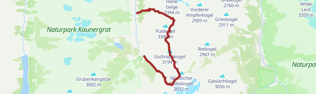
Rugged crossing from the Amberger Hütte through the back of the Sulztal to the Atterkarjöchl at 2,976 m, skirting a glacier on steel pins above the ice before the long descent over moor and steep paths to Sölden.
- 13.4 km
- Distance
- 865 m
- Ascent
- 7 h 22 min
- Duration
- 58
- Check-ins
Mainzer Höhenweg
One of the tougher marked high routes in the Ötztal Alps: from the Braunschweiger Hütte over the Wassertalkogel and a chain of rocky ridges to the Rüsselsheimer Hütte, with block terrain and few escape options.
- 17.8 km
- Distance
- 2 056 m
- Ascent
- 12 h 5 min
- Duration
- 60
- Check-ins
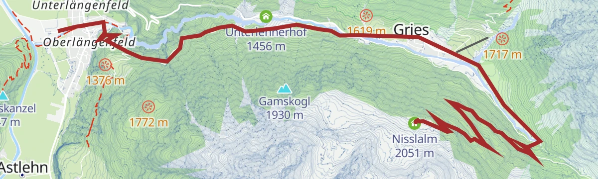
Skitour Nisslalm - Längenfeld/Gries
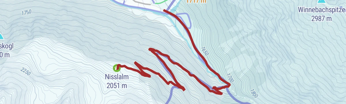
Gentle ski tour from Gries into the Sulztal, flat as far as the Vögelasbrücke and then climbing in wide bends to the Nisslalm; the route shares the sledding run, so watch for descending tobogganers.
- 5.0 km
- Distance
- 455 m
- Ascent
- 0 m
- Descent
- 1 h 42 min
- Duration
- 4
- Check-ins
Hinterer Daunkopf
Glacier ski tour from the Amberger Hütte over the Sulztalferner into the Pockkar, with a steep step guarding the summit slope and views to the Stubai ski area from the cross.
- 6.0 km
- Distance
- 1 090 m
- Ascent
- 21 m
- Descent
- 3 h 5 min
- Duration
- 32
- Check-ins
 Hinterer Daunkopf 3 225 m
 Schwefelsee 2 126 m
 Amberger Hütte 2 135 m
- Gletschersee 2 535 m
Tour zum Rettenbachferner
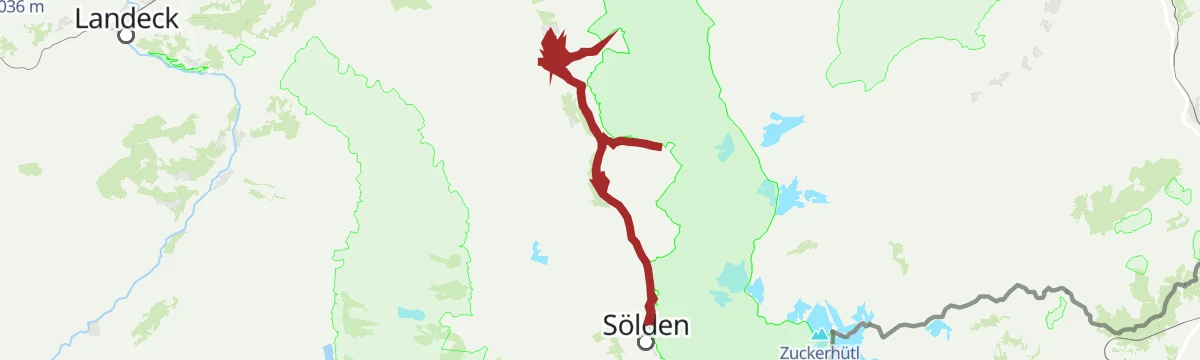
A very long climb from the Ötztal up towards the Rettenbachferner above Sölden, topping out at the Restaurant Rettenbach at 2,666 m.
- 62.5 km
- Distance
- 2 326 m
- Ascent
- 7 h 5 min
- Duration
- 129
- Check-ins
Ötztal Radweg Etappe 3: Umhausen - Längenfeld
A middle stage of the valley cycle route, gaining height gently past sport-climbing crags on the way up the Ötz valley.
- 13.7 km
- Distance
- 289 m
- Ascent
- 1 h 25 min
- Duration
- 3
- Check-ins
- Ötztal Tourismus 1 030 m
- Fischteichanlage Quellfische Mrak 1 152 m
Ötztal Radweg Etappe 4: Längenfeld - Sölden
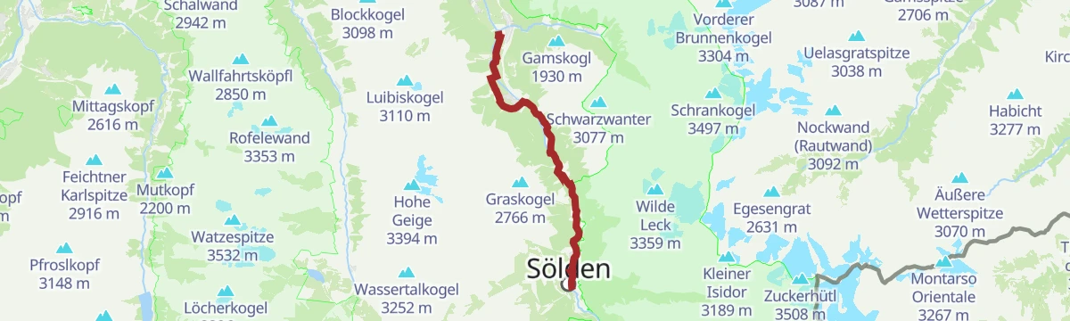
The final stage of the valley cycle route, climbing steadily along the Ötztaler Ache to the ski resort at the head of the valley.
- 16.5 km
- Distance
- 210 m
- Ascent
- 1 h 36 min
- Duration
- 65
- Check-ins
Entdeckerweg - Im Bann des Wassers
Interactive trail above Längenfeld on the history of the valley's floods — how the Ötztaler Ache shaped the land, what protection was built and the part faith and community played, told station by station.
- 2.4 km
- Distance
- 211 m
- Ascent
- 56 min
- Duration
- 9
- Check-ins
Amberger Hütte - Längenfeld/Gries
Classic hut walk from Gries along the Sulztal valley floor, past the Sulztalalm (closed for rebuilding in summer 2025) and up a final steeper stretch to the Amberger Hütte.
- 5.6 km
- Distance
- 540 m
- Ascent
- 2 h 20 min
- Duration
- 41
- Check-ins
Panorama Marsch - Längenfeld/Gries
Long crossing from Gries via the Winnebachseehütte and the stony Zwieselbachjoch to the Schweinfurter Hütte, descending the Zwieselbachtal and finishing on a broad forest road to Niederthai.
- 20.9 km
- Distance
- 1 329 m
- Ascent
- 9 h 6 min
- Duration
- 46
- Check-ins
Kuhscheibe - Längenfeld/Gries
Ski tour from Gries, following partly groomed tracks shared with the sledding run to the Amberger Hütte before breaking into untracked terrain through the Sulze and the Roßkar to the summit.
- 10.3 km
- Distance
- 1 048 m
- Ascent
- 1 055 m
- Descent
- 3 h 60 min
- Duration
- 31
- Check-ins
694 Amberger Hütte
A long climb on the Sulztal road above Längenfeld, past both Sulztalalm huts to the hut at 2,135 m at the head of the valley.
- 23.7 km
- Distance
- 1 007 m
- Ascent
- 3 h 3 min
- Duration
- 26
- Check-ins
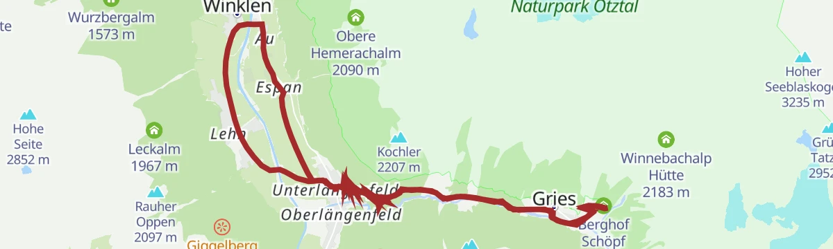
Rennradtour kleiner Ötztaler - die 4 Bergdörfer Tour
A road circuit of the four mountain villages above the Ötztal, 2,200 m of climbing in eighty kilometres.
- 79.9 km
- Distance
- 1 877 m
- Ascent
- 8 h 52 min
- Duration
- 54
- Check-ins
Sulztalalm - Längenfeld/Gries
Family-friendly walk from the Gries car park past meadows to the Vögelasbrücke and up a gently rising forest road to the front alm of the Sulztal, closed for rebuilding during summer 2025.
- 3.7 km
- Distance
- 296 m
- Ascent
- 1 h 21 min
- Duration
- 7
- Check-ins
Winnebachseehütte - Längenfeld/Gries
Hut climb from Gries via the hamlet of Winnebach, where a mountain path leaves the road and rises through forest and past avalanche paths to the Winnebachseehütte, 800 m above the valley.
- 4.6 km
- Distance
- 759 m
- Ascent
- 2 h 54 min
- Duration
- 15
- Check-ins
Vorderer Sulzkogel 2796m - Längenfeld/Gries
Long summit day from Gries: up the Sulztal past the glacier stream to the Amberger Hütte, then steep meadows and marked rocky ground to the 2,796 m top, returning the same way.
- 8.0 km
- Distance
- 1 170 m
- Ascent
- 4 h 36 min
- Duration
- 41
- Check-ins
Schrankarkopf 3254m Längenfeld/Gries
Glacier ski tour from the Amberger Hütte into the Schwarzenbergtal, weaving past icefalls onto the upper glacier basin and finishing in wide kick turns on the shapely firn dome north of the Schrankogel.
- 6.3 km
- Distance
- 1 074 m
- Ascent
- 11 m
- Descent
- 3 h 4 min
- Duration
- 30
- Check-ins
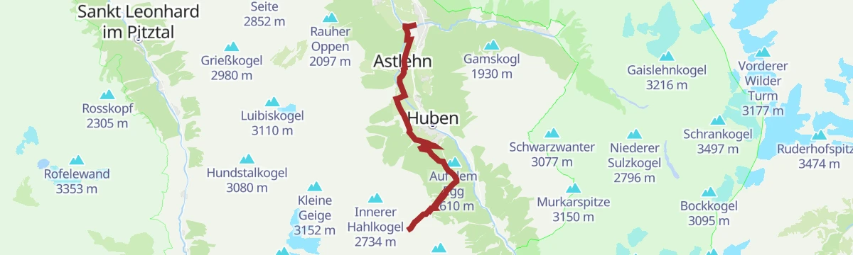
Bike & Hike Tour: Sölden - Huben - Polltal - Hahlkogl
A short but relentless climb to the alms at around 1,850 m, from where the summits above the closed hut at 2,042 m are reached on foot.
- 7.4 km
- Distance
- 970 m
- Ascent
- 1 h 37 min
- Duration
- 20
- Check-ins
Rennradtour - Sölden - Area 47
A road run down the length of the Ötztal from Sölden to Area 47 at the valley mouth, and back again.
- 76.4 km
- Distance
- 801 m
- Ascent
- 7 h 32 min
- Duration
- 47
- Check-ins
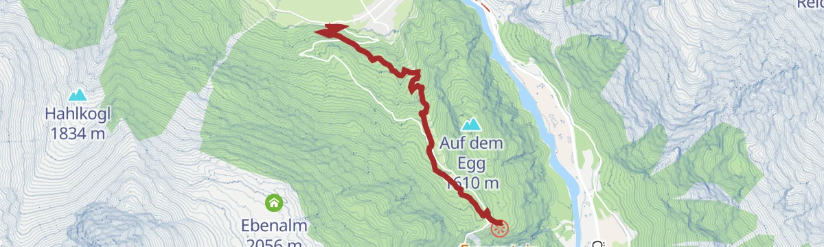
Alpengasthof Feuerstein - Längenfeld/Huben
Family walk of about 90 minutes from the Huben football pitch along a forest road to the alpine inn at the Feuerstein; the Sagenweg variant returns past six-metre wooden sculptures depicting Ötztal legends.
- 3.0 km
- Distance
- 329 m
- Ascent
- 1 h 22 min
- Duration
- 6
- Check-ins
Wasserläufer Brand-Burgstein Längenfeld
Loop from the Fischbach bridge in Längenfeld up through the Klamm to Brand, then along the sunny shelf to Burgstein, crossing the 84 m suspension bridge that links the two hamlets high above the valley.
- 6.7 km
- Distance
- 459 m
- Ascent
- 3 h 5 min
- Duration
- 9
- Check-ins
Schweinfurter Hütte - Winnebachseehütte - Umhausen-Niederthai
A long crossing from Niederthai past the Schweinfurter Hütte and through the Zwieselbachtal to the 2,868 m Zwieselbachjoch, then steeply down over scree into the Winnebachkar to the Winnebachseehütte.
- 16.3 km
- Distance
- 1 350 m
- Ascent
- 7 h 5 min
- Duration
- 35
- Check-ins
Breiter Grieskogel - Längenfeld/Gries
Long ski tour from Gries via the Winnebachseehütte — about two hours up from the hamlet of Winnebach — continuing toward the Zwieselbachjoch and the broad summit beyond it.
- 8.8 km
- Distance
- 1 634 m
- Ascent
- 0 m
- Descent
- 4 h 34 min
- Duration
- 18
- Check-ins
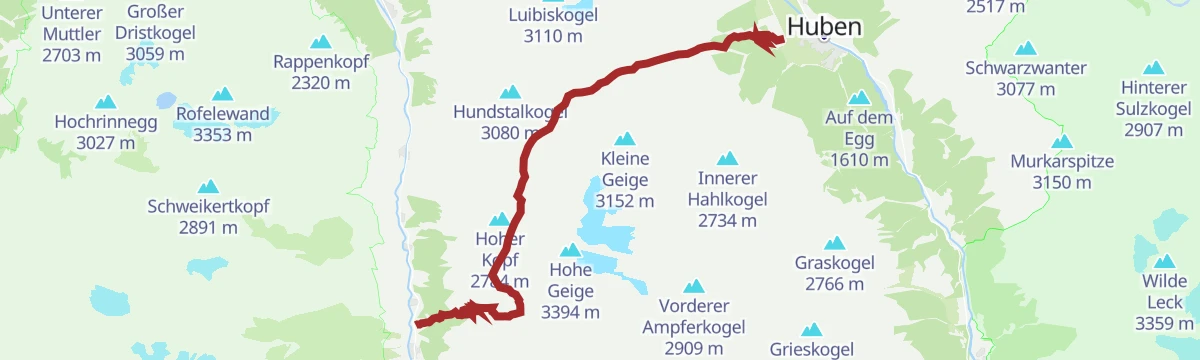
637 Polltal - Breitlehn Alm
A forest-road climb from the Ötztal floor into a side valley below the Hahlkogl, ending at the two alms just above 1,840 m.
- 24.0 km
- Distance
- 735 m
- Ascent
- 2 h 49 min
- Duration
- 13
- Check-ins
Rennradtour - Innerötztaler Trainingsrunde
A road training loop on the inner Ötztal floor between Längenfeld and Sölden, with little climbing.
- 35.3 km
- Distance
- 216 m
- Ascent
- 3 h 20 min
- Duration
- 46
- Check-ins
Jausenstation Wiesle - Niederthai
An easy walk from the Nordic Sports Arena in Niederthai over the Mauslesattel and down through dense forest to the Wiesle snack station on the Ötztal's sunny terrace.
- 2.4 km
- Distance
- 72 m
- Ascent
- 47 min
- Duration
- 6
- Check-ins
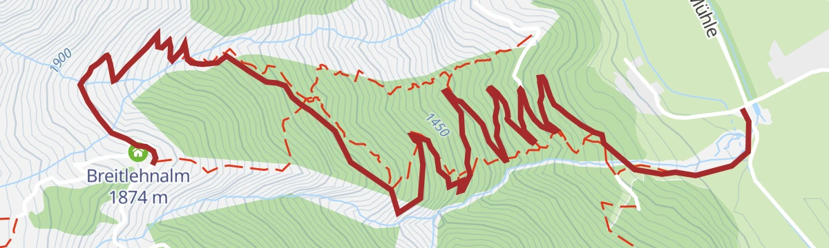
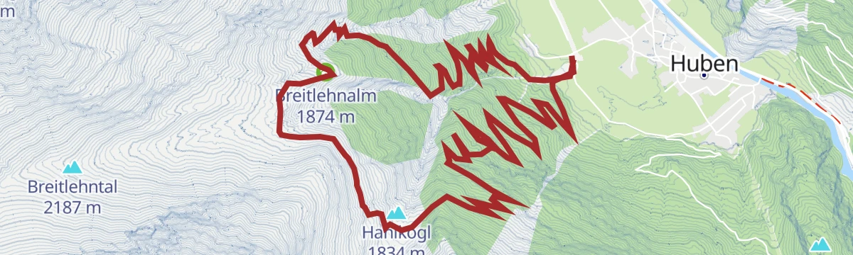
Breitlehnalm - Längenfeld/Huben
Direct, steep woodland path from the huddle of houses at Mühle near Huben straight up to the Breitlehnalm; more a fitness test than a technical challenge.
- 4.1 km
- Distance
- 709 m
- Ascent
- 2 h 44 min
- Duration
- 6
- Check-ins
Breitlehn- und Kapuzinerjöchl (vom Ötztal ins Pitztal) - Längenfeld/Huben
Big Ötztal-to-Pitztal crossing from Huben over the Breitlehnjoch and the cable-secured Kapuzinerjöchl, dipping through the Rötenkar and over the Gahwinden viewpoint to the Rüsselsheimer Hütte.
- 14.8 km
- Distance
- 1 909 m
- Ascent
- 10 h 26 min
- Duration
- 24
- Check-ins
636 Drei Almen Tour
A long day on the alm roads above Längenfeld, linking the Wurzbergalm, the Stabelealm and the Innerbergalm at close to 2,000 m.
- 28.3 km
- Distance
- 986 m
- Ascent
- 3 h 26 min
- Duration
- 6
- Check-ins
Ötztal Radweg Gesamtstrecke (11)
The full valley cycle route from the Inn at Haiming all the way up to Sölden, gaining height steadily over 60 km.
- 60.2 km
- Distance
- 906 m
- Ascent
- 5 h 57 min
- Duration
- 38
- Check-ins
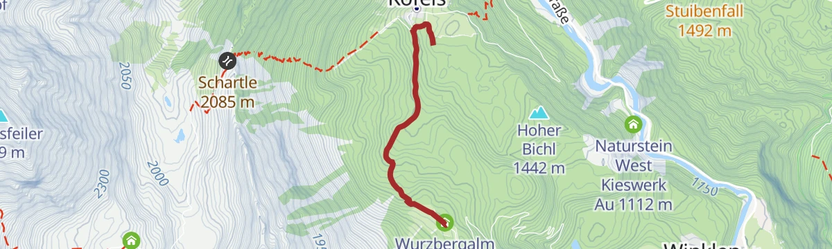
Wurzbergalm - Umhausen/Köfels
A short forest walk from the car park in Köfels past the sawmill, following signs on an even track past a hunting hut and slightly downhill to the Wurzbergalm.
- 2.4 km
- Distance
- 202 m
- Ascent
- 54 min
- Duration
- 6
- Check-ins
- Wasserbecken 1 375 m
- s' Jaga Häusl 1 501 m
- Agnes und Erich's Hütte 1 573 m
- Stallungen 1 572 m
- Wurzbergalm 1 573 m
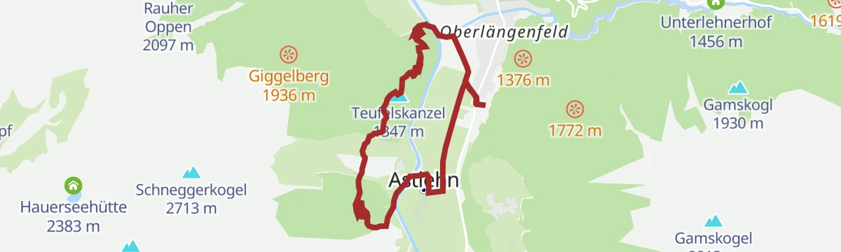
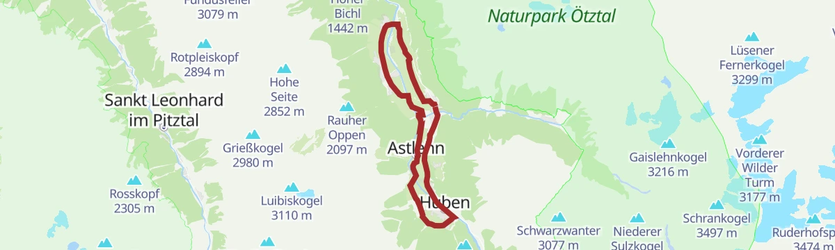
Duringweg - Längenfeld
Varied circuit from the Naturpark Haus in Längenfeld past the Aqua Dome and the plague chapel onto a balcony path toward Huben, with a short detour to the Teufelskanzel lookout before descending to Astlehn.
- 6.9 km
- Distance
- 493 m
- Ascent
- 3 h 16 min
- Duration
- 5
- Check-ins
Hoher Seeblaskogel 3235m - Längenfeld/Gries
Full-on summit hike from Gries via the Winnebachseehütte, past the Ernst-Riml-Spitz and above the glacier lake of the Bachfallenferner, finishing over boulders on the broad northeast ridge at 3,235 m.
- 8.2 km
- Distance
- 1 693 m
- Ascent
- 6 h 21 min
- Duration
- 20
- Check-ins
695 Wurzbergrunde
A long forest-road circuit above Umhausen, climbing to the Wurzbergalm and the small huts clustered at about 1,570 m.
- 20.4 km
- Distance
- 673 m
- Ascent
- 2 h 27 min
- Duration
- 6
- Check-ins
Rennradtour - Längenfeld - Gries/Winnebach
A road climb out of the Ötztal into a side valley, rising past the Unterlehnerhof to the last houses at about 1,690 m.
- 21.9 km
- Distance
- 568 m
- Ascent
- 2 h 29 min
- Duration
- 7
- Check-ins
Entdeckerweg - Ötztaler Sagenweg
Legend-themed discovery trail near Huben where carved figures bring Ötztal sagas to life along a forest path toward the Feuerstein — an outing that works for children and adults alike.
- 2.4 km
- Distance
- 332 m
- Ascent
- 1 h 19 min
- Duration
- 5
- Check-ins
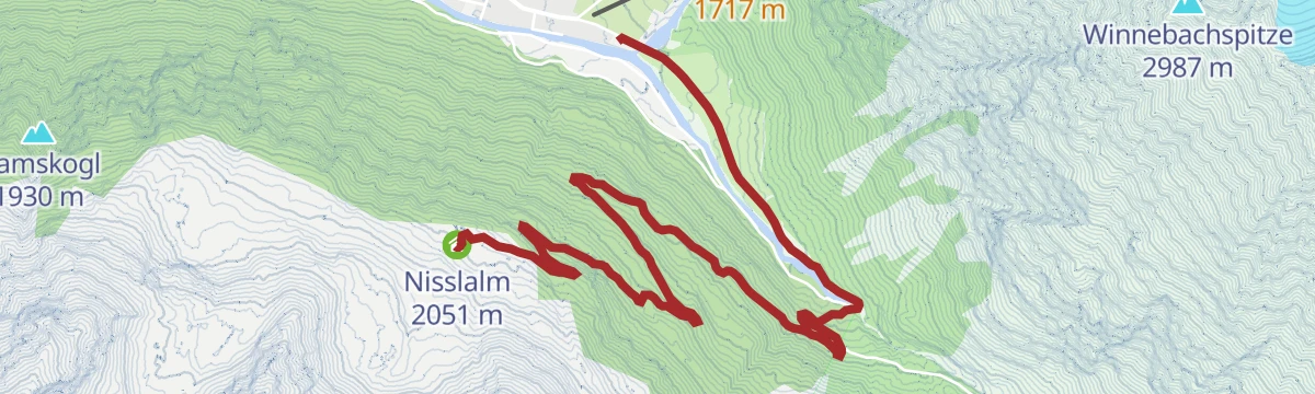
Schönrinnenkarsee - Längenfeld/Gries
Lake hike from the centre of Gries: a woodland path or easier forest road to the Nisslalm, then a steep trail over grassy slopes to the cirque lake of the Schönrinnenkar.
- 5.1 km
- Distance
- 785 m
- Ascent
- 4 h 30 min
- Duration
- 5
- Check-ins
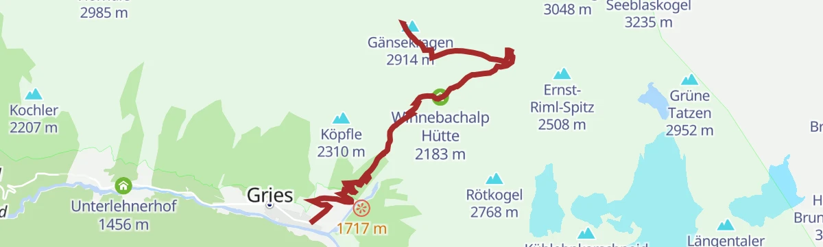
Gänsekragen 2914m - Längenfeld/Gries
Relentless climb from Gries via the Winnebachseehütte to a 2,914 m summit above the hut; the marked upper path is very steep, and the last metres from the notch are airy and exposed.
- 6.2 km
- Distance
- 1 308 m
- Ascent
- 4 h 51 min
- Duration
- 16
- Check-ins
634 Nissl Alm
A long forest-road climb out of Längenfeld to an alm at 2,051 m, high above the Ötztal on the slopes past the Brandachfeldlift.
- 22.1 km
- Distance
- 927 m
- Ascent
- 2 h 50 min
- Duration
- 4
- Check-ins
Rennradtour - Längenfelder Runde
A flat road circuit on the wide valley floor of the Ötztal, out from the info point and back past the campsite, with almost no climbing.
- 17.8 km
- Distance
- 32 m
- Ascent
- 1 h 36 min
- Duration
- 7
- Check-ins
Wanderweg Panoramaparkplatz zum Wiesle - Niederthai
An easy signed forest road from the Panoramaparkplatz near Niederthai — with its Stuibenfall viewing platform — rolling gently through the woods to the Wiesle snack station and back.
- 2.3 km
- Distance
- 115 m
- Ascent
- 49 min
- Duration
- 5
- Check-ins
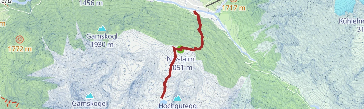
Nissl Alm - Längenfeld/Gries
Two ways up to the pastures above Gries: a broad forest road winding through the woods in many bends, or a steeper direct path from the village centre — both ending at the Nisslalm.
- 5.2 km
- Distance
- 468 m
- Ascent
- 2 h 5 min
- Duration
- 4
- Check-ins
Hochalmen Wanderweg- Längenfeld/Huben
High-pasture loop from Mühle near Huben along the Ötztal Hochalmenweg to the Polltalalm, continuing through meadows and alpenrose ground to the Breitlehnalm and descending on a mountain path.
- 12.4 km
- Distance
- 834 m
- Ascent
- 5 h 36 min
- Duration
- 13
- Check-ins
638 Feuerstein - Polles Alm
A forest-road climb from the campsite on the Ötztal floor at Längenfeld up to an alm at 1,776 m, by way of the platform at 1,506 m.
- 21.6 km
- Distance
- 639 m
- Ascent
- 2 h 31 min
- Duration
- 4
- Check-ins
6049 Adlerblickrunde
The Adlerblick round from Längenfeld, 21.8 km on asphalt and gravel with 802 m of climbing to 1,843 m.
- 20.3 km
- Distance
- 699 m
- Ascent
- 2 h 28 min
- Duration
Open route Ötztal
No routes of this kind in Längenfeld yet.
The region's own picks

Featured route
Brandalm - Längenfeld
Easy 40-minute forest-road climb from the Fischbach bridge in Längenfeld to the plateau of the Brand Alm and its wide view over the valley floor.
Planning a trip to Längenfeld?
Everything else Tyrol has, in one place


Take Längenfeld with you into the mountains
Every route on this page with 3D terrain, GPX navigation and offline maps — including the valleys with no signal.
Data sources
- Official website: oetztal.com ↗
- Routes and highlights: Ötztal Tourismus, Tirol Werbung, Climbers Paradise *Neu*, Tourismusverband Pitztal, Imst Tourismus, Ötztal
- Published as open data by the tourist boards named above.
- Region summary generated from the board's own material.
