



Curated by Sterzing, Pfitsch und Freienfeld
Laces/Latsch
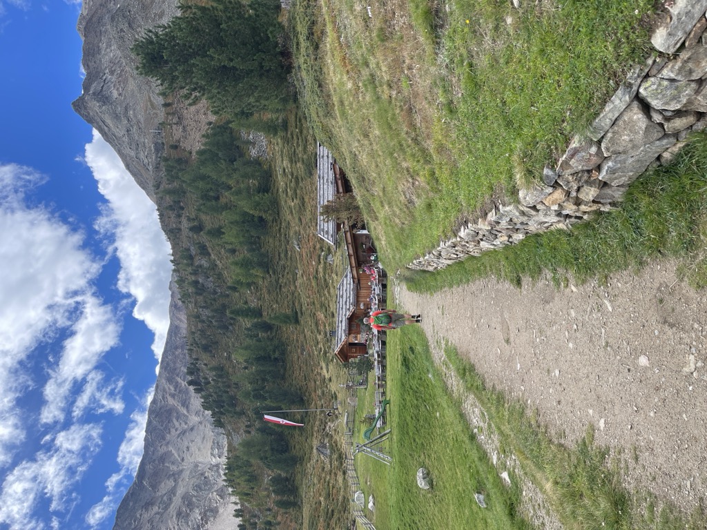
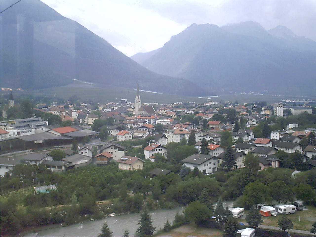
A Val Venosta market village among apple orchards, with the Martello valley and the Ortler group to the south.
Photo: Iris300471 (Iris Biehl) at de.wikipedia · CC BY-SA 2.0 de licence
- 6Highlights
- 18Routes
- Featured summit · Hasenöhrl
Highlights
All 6 from neighbouring places
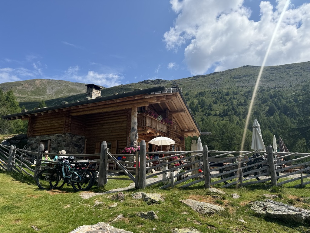
Malga Kühberg
8.7 km away, in Ultimo/Ulten
A dairy hut on the high pastures above the Val d'Ultimo, in the comune of Ultimo, reached by forest track from the valley farms.
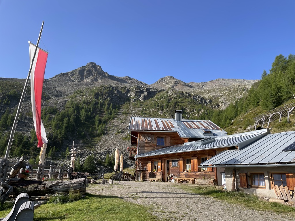
Sterzing, Pfitsch und FreienfeldMalga del Convento
9.8 km away, in Senales/Schnals
A dairy hut on the pastures above Certosa in the Val Senales, named after the Carthusian monastery in the village below.
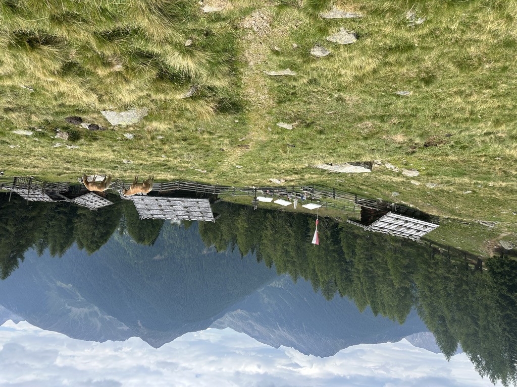
Malga Kaserfeld
11.4 km away, in Ultimo/Ulten
A dairy hut on the Kaserfeld pastures of the Ultental, on the slopes below the ridge that closes the valley to the south.
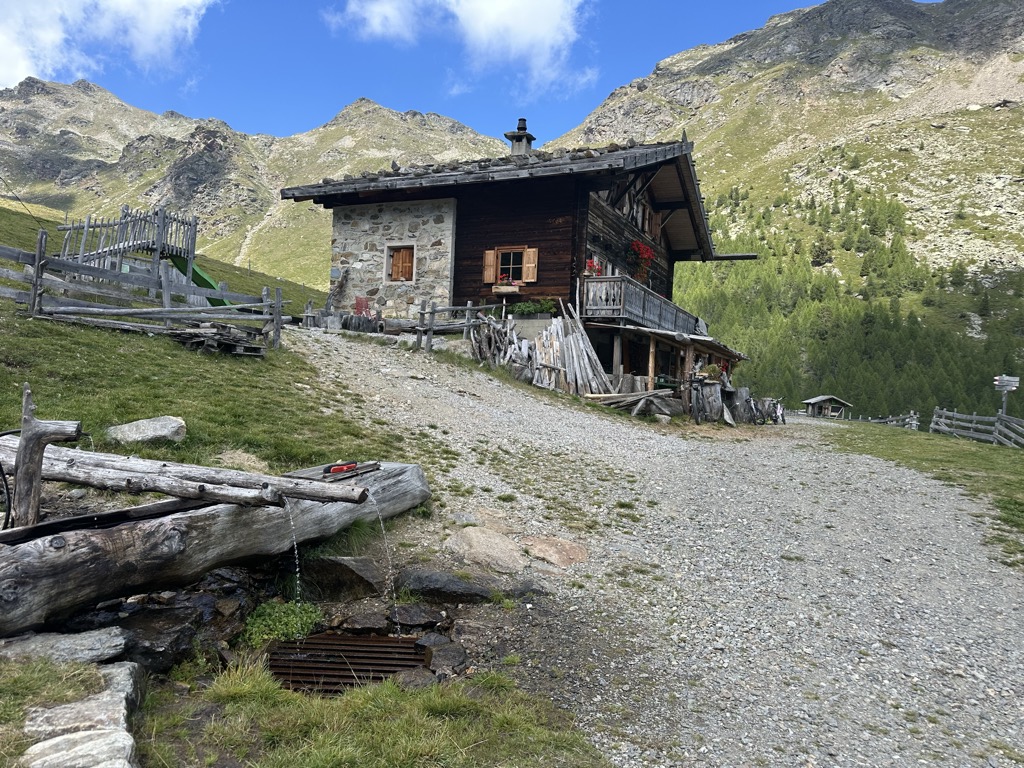
Sterzing, Pfitsch und FreienfeldMalga Innerfalkomai
11.8 km away, in Ultimo/Ulten
A dairy hut on the Falkomai pastures of the Ultental, high on the shady side of the valley in the comune of Ultimo.
Sterzing, Pfitsch und FreienfeldMalga Bergl
13.5 km away, in Senales/Schnals
A dairy hut on the Bergl pastures above the Val Senales, reached by path from the valley road.
Malga Fiecht
13.8 km away, in Ultimo/Ulten
A dairy hut on the Fiecht pastures of the Ultental, in the comune of Ultimo, above the farms on the valley floor.
Sterzing, Pfitsch und Freienfeld
Nothing of this kind in Laces/Latsch.
Routes
Orecchia di Lepre
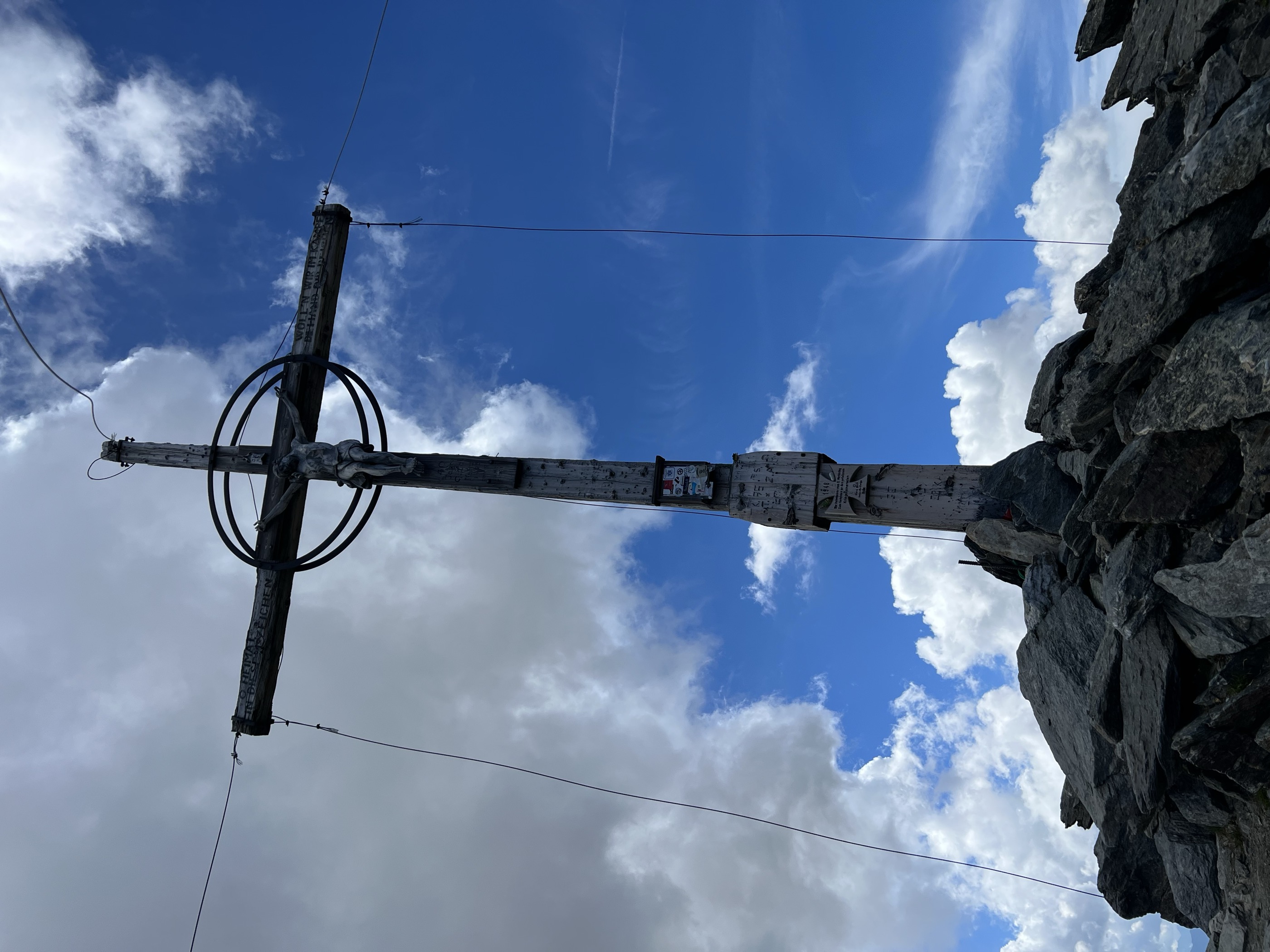
A climb from the Tarres pasture by the Laces pass and a slightly exposed crest to the Hasenöhrl, a three-thousander looking across the Ortles peaks.
- 13.6 km
- Distance
- 1 331 m
- Ascent
- 8 h 13 min
- Duration
- 14
- Check-ins
 Hasenöhrl 3 257 m
- Cresta Azzurra 2 913 m
- Blaue Schneid 3 029 m
 Tarscher Alm 1 942 m
- Berggasthof Tarscher Alm 1 935 m
 Tarscher Joch - Passo di Tarres 2 440 m
- +2
Open route Sterzing, Pfitsch und FreienfeldTour sciistica al Gran Ladro
A ski tour from the Tarres alp over the Gran Ladro saddle at 2,612 m, past the Covolo lakes to the two Gran Ladro summits.
- 12.0 km
- Distance
- 1 007 m
- Ascent
- 1 005 m
- Descent
- 4 h 15 min
- Duration
- 18
- Check-ins
- Hoher Dieb 2 730 m
- Dieb 2 618 m
- Tarscher Alm 1 942 m
- Berggasthof Tarscher Alm 1 935 m
 Unterer Kofelraster See - Lago di Covolo Inferiore 2 403 m
- Oberer Kofelraster See - Lago Di Covolo Superiore 2 406 m
- +1
Open route Sterzing, Pfitsch und FreienfeldTschilli Trail
A singletrack dropping from the Pirchböden above Laces, entered direct or off the Montesole Trail, and passing the Jausenstation Ratschill.
- 3.2 km
- Distance
- 0 m
- Ascent
- 26 min
- Duration
- 8
- Check-ins
Open route Sterzing, Pfitsch und FreienfeldLatscher Trailzauber
A loop from the AquaForum in Laces along the Rehpromenade and up to the water basin, then singletrack to the Montani castle ruins.
- 7.8 km
- Distance
- 78 m
- Ascent
- 50 min
- Duration
- 2
- Check-ins
Open route Sterzing, Pfitsch und FreienfeldIn bicicletta dal fascino medievale all’atmosfera mediterranea – da Glorenza a Egna
A day-long valley ride from Glorenza to Egna, following the Adige past apple orchards and wine cellars into the Bassa Atesina.
- 105.8 km
- Distance
- 20 m
- Ascent
- 9 h 39 min
- Duration
- 75
- Check-ins
- Maso al Lago - Schenk 237 m
- Quellensee 655 m
- Informationsbüro Kastelbell - Tschars - Associazione turistica di Castelbello - Ciardes 584 m
- Nationalpark Stelvio 913 m
- Moser's Speckhäusl 626 m
- Castelfeder - Grill-Imbiss - ristoro 221 m
- +8
Open route Sterzing, Pfitsch und FreienfeldEscursione all'Orecchia di Lepre
The Hasenoehrl, a pyramid of 3,250 m on the divide between the Ultimo and Venosta valleys, standing well clear of the other peaks in the Ortler group.
- 5.7 km
- Distance
- 1 292 m
- Ascent
- 4 h 42 min
- Duration
- 9
- Check-ins
- Hasenöhrl 3 257 m
- Cresta Azzurra 2 913 m
- Blaue Schneid 3 029 m
- Kuppelwieser Alm 1 973 m
- Latscher Joch - Passo di Laces 2 507 m
- Kupperlwieser Alm 1 973 m
Open route Partschins - Rabland - TöllSci alpinismo all'Orecchia di Lepre
A ski tour from the turning for the Oberjochmoarhof farm up the Hasenoehrl, the easternmost of the Ortler group's three-thousanders.
- 15.8 km
- Distance
- 1 517 m
- Ascent
- 1 533 m
- Descent
- 5 h 54 min
- Duration
- 10
- Check-ins
Open route Partschins - Rabland - Töll4-gewinnt-13 Trail
A descent linking two numbered singletracks below the Malga di Laces, running through meadow and forest with some exposed sections.
- 4.5 km
- Distance
- 0 m
- Ascent
- 49 min
- Duration
Open route Sterzing, Pfitsch und FreienfeldLa pista ciclabile dell’Adige: da Marlengo a Malles
The Adige cycle path up the Vinschgau from Marlengo to Mals, past Kastelbell and the Quellensee.
- 63.4 km
- Distance
- 763 m
- Ascent
- 6 h 6 min
- Duration
- 73
- Check-ins
- Rifugio 375 m
- Quellensee 655 m
- Informationsbüro Kastelbell - Tschars - Associazione turistica di Castelbello - Ciardes 584 m
- Moser's Speckhäusl 626 m
- Tourismusverein Marling 363 m
- Bar Seilbahn 633 m
- +4
Open route Sterzing, Pfitsch und FreienfeldBarbarossa-Trail
An S2 singletrack descent on the Monte Tramontana side above Laces, entered from the Malga di Tarres after a lift or shuttle.
- 4.0 km
- Distance
- 0 m
- Ascent
- 33 min
- Duration
Open route Sterzing, Pfitsch und FreienfeldCiclabile dell' Adige Via Claudia Augusta - tappa Rablà-Resia
A long stage up the Vinschgau from Rablà to the Resia pass, climbing steadily beside the Adige on the Via Claudia Augusta route.
- 75.7 km
- Distance
- 1 109 m
- Ascent
- 7 h 25 min
- Duration
- 71
- Check-ins
- Roby Keller 1 479 m
- Moser's Speckhäusl 626 m
- Bar Seilbahn 633 m
- Radtreff Fischteich Brugg - Punto d'incontro per ciclisti Laghetto di pesca Brugg 817 m
- Informationsbüro Burgeis 1 228 m
- Zeress 1 454 m
- +8
Open route Sterzing, Pfitsch und FreienfeldLatscher Panorama Trail
A short singletrack traverse high on the slope above Laces, with exposed switchback sections before the Propain Trail.
- 2.7 km
- Distance
- 13 m
- Ascent
- 20 min
- Duration
Open route Sterzing, Pfitsch und FreienfeldBy bike from medieval charm to Mediterranean flair – from Glurns to Neumarkt
A long, almost flat point-to-point down the Etschtal from the walled town of Glurns to Neumarkt, on cycle paths through orchards and vineyards.
- 105.5 km
- Distance
- 0 m
- Ascent
- 9 h 36 min
- Duration
- 70
- Check-ins
- Maso al Lago - Schenk 237 m
- Quellensee 655 m
- Informationsbüro Kastelbell - Tschars - Associazione turistica di Castelbello - Ciardes 584 m
- Nationalpark Stelvio 913 m
- Moser's Speckhäusl 626 m
- Castelfeder - Grill-Imbiss - ristoro 221 m
- +5
Open route Südtirols SüdenMontesole Trail (Sunny Benny)
A descent across the cultivated sunny side of the Val Venosta, reached by the San Martino cable car or the road up from Castelbello.
- 6.0 km
- Distance
- 0 m
- Ascent
- 51 min
- Duration
Open route Sterzing, Pfitsch und FreienfeldCiclabile dell' Adige Via Claudia Augusta
A long stretch of the cycle route that follows the old Roman road along the Adige, running down the valley past Algund and Merano.
- 79.1 km
- Distance
- 1 295 m
- Ascent
- 7 h 49 min
- Duration
- 68
- Check-ins
- Roby Keller 1 479 m
- Moser's Speckhäusl 626 m
- Tourismusbüro Algund 351 m
- Bar Seilbahn 633 m
- Radtreff Fischteich Brugg - Punto d'incontro per ciclisti Laghetto di pesca Brugg 817 m
- Informationsbüro Burgeis 1 228 m
- +9
Open route Sterzing, Pfitsch und FreienfeldRoatbrunn Trail
A flowing forest singletrack from the Malga di Laces, joining path 4 and running down past the red spring that gives it its name.
- 4.4 km
- Distance
- 0 m
- Ascent
- 42 min
- Duration
Open route Sterzing, Pfitsch und FreienfeldLa pista ciclabile dell’Adige: da Malles a Marlengo
A long, mostly downhill run through the Vinschgau beside the young Etsch, passing Latsch and the anglers' cyclist stop at Brugg on the way to Meran.
- 60.9 km
- Distance
- 53 m
- Ascent
- 5 h 40 min
- Duration
- 51
- Check-ins
- Rifugio 375 m
- Moser's Speckhäusl 626 m
- Bar Seilbahn 633 m
- Radtreff Fischteich Brugg - Punto d'incontro per ciclisti Laghetto di pesca Brugg 817 m
- Laterne 516 m
- Tourismusverein Latsch-Martell - Associazione Turistica Laces-Martello 641 m
- +4
Open route Sterzing, Pfitsch und FreienfeldScheibenkofel Trail
A very short beginner-friendly descent above Laces, losing 210 m with Castel Annenberg and San Martino in Monte in view.
- 1.1 km
- Distance
- 0 m
- Ascent
- 9 min
- Duration
Open route Sterzing, Pfitsch und Freienfeld
No routes of this kind in Laces/Latsch yet.
The region's own picks

Featured route
Orecchia di Lepre
A climb from the Tarres pasture by the Laces pass and a slightly exposed crest to the Hasenöhrl, a three-thousander looking across the Ortles peaks.
Planning a trip to Laces/Latsch?
Everything else Trentino-Alto Adige/Südtirol has, in one place


Take Laces/Latsch with you into the mountains
Every route on this page with 3D terrain, GPX navigation and offline maps — including the valleys with no signal.
Data sources
- Official website: suedtirol.info ↗
- Routes and highlights: Sterzing, Pfitsch und Freienfeld, Partschins - Rabland - Töll, Südtirols Süden
- Published as open data by the tourist boards named above.
- Region summary generated from the board's own material.
