
 Viewpoint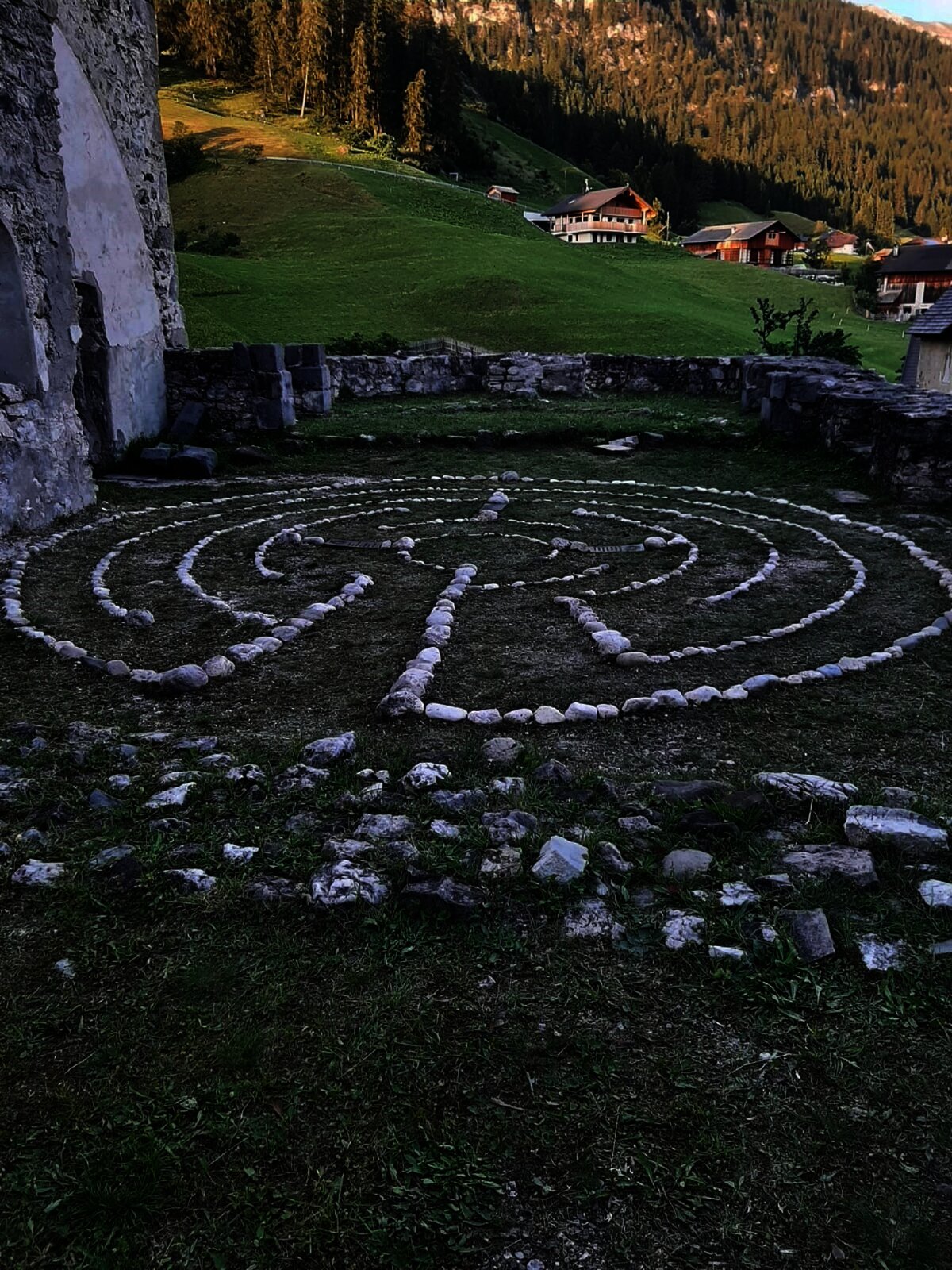
 Historic site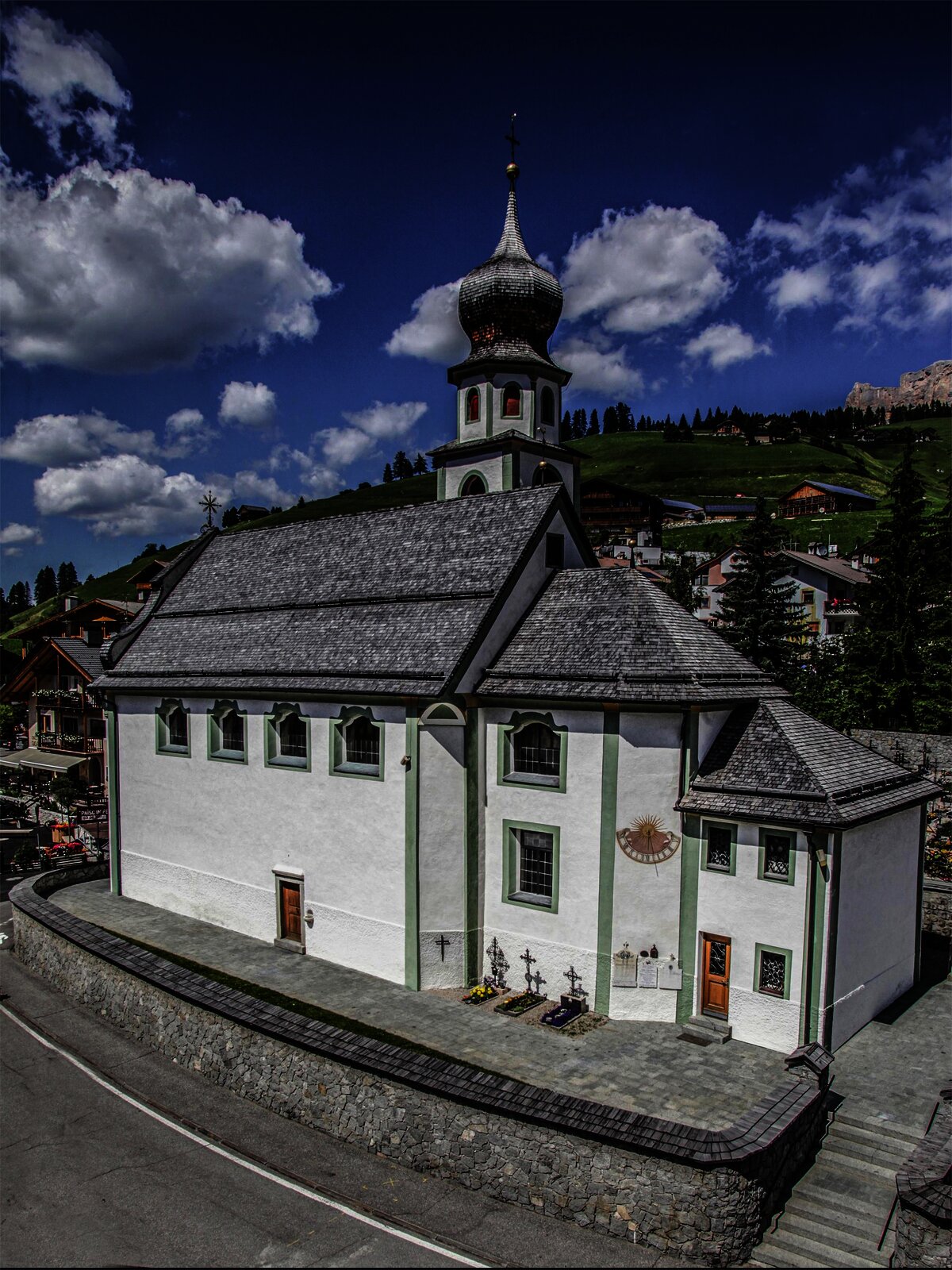





Curated by Alta Badia Tourism Cooperative
La Valle/Wengen
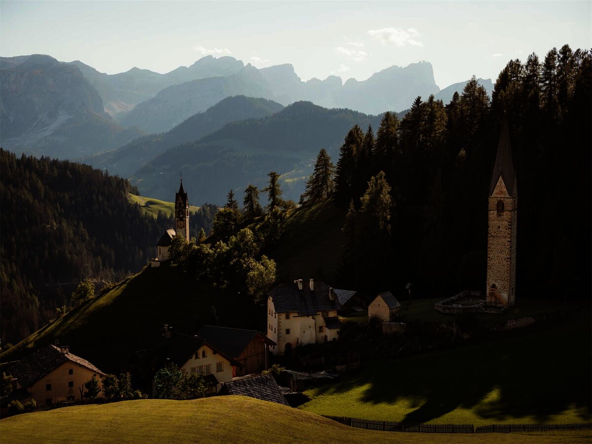
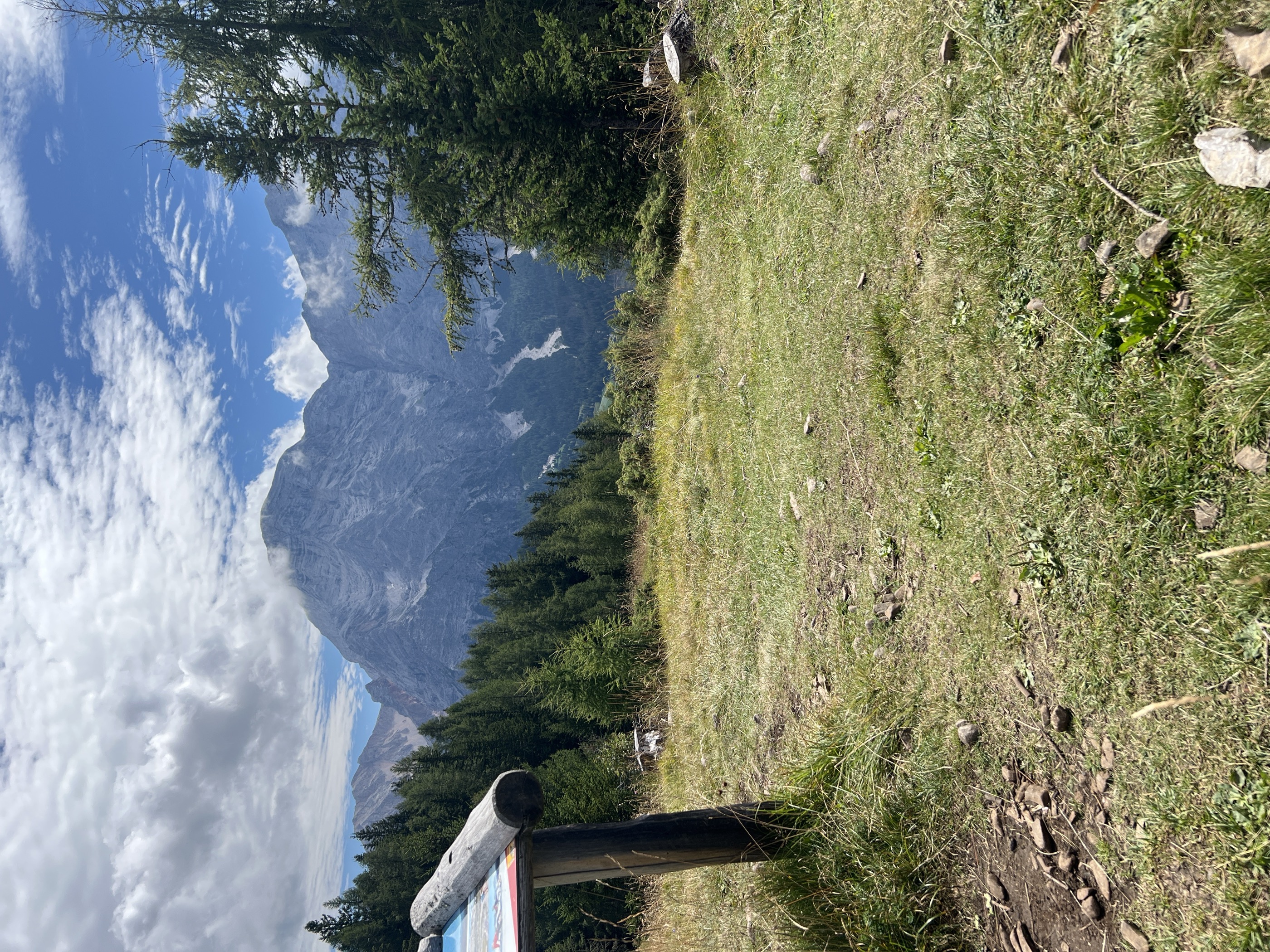
Ladin village in the Val Badia below the Sasso della Croce wall, inside the Fanes-Sennes-Braies nature park.
- 5Highlights
- 22Routes
- Featured summit · Crusc da Rit
Highlights
10 from neighbouring places
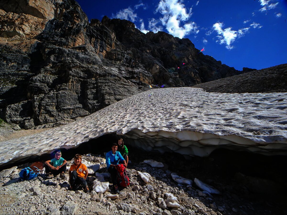
La grotta della neve al Sas dla Crusc/Santa Croce
A snow-filled hollow under the Sas dla Crusc wall that holds ice into summer, reached from the Santa Croce hut.
Sterzing, Pfitsch und FreienfeldIl labirinto di Dlijia vedla
A turf maze laid out beside the old church at La Valle, in the Val Badia.
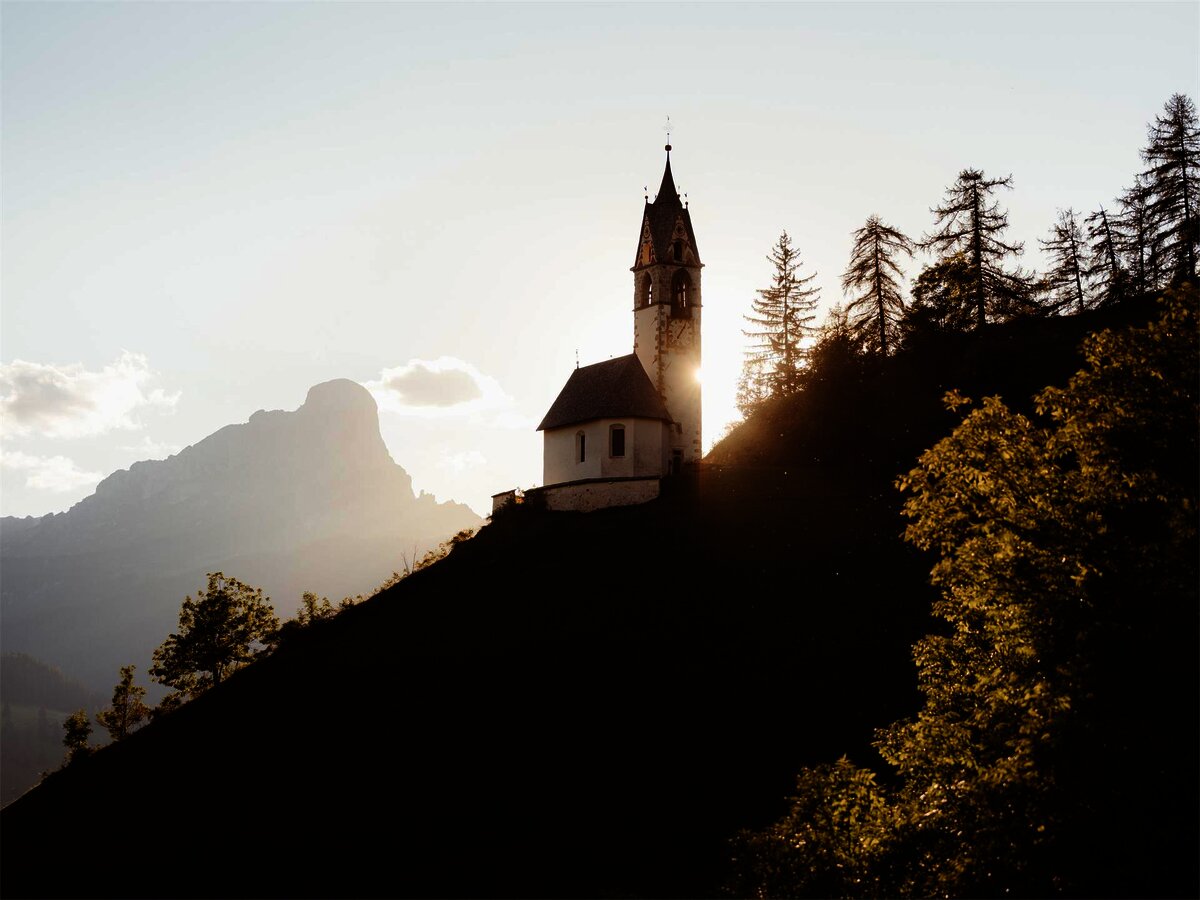
Chiesa di Santa Barbara
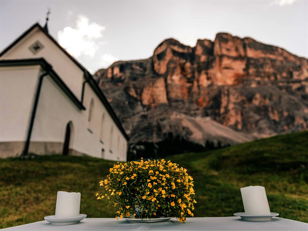
A chapel at La Valle in the Val Badia, below the Sasso della Croce.
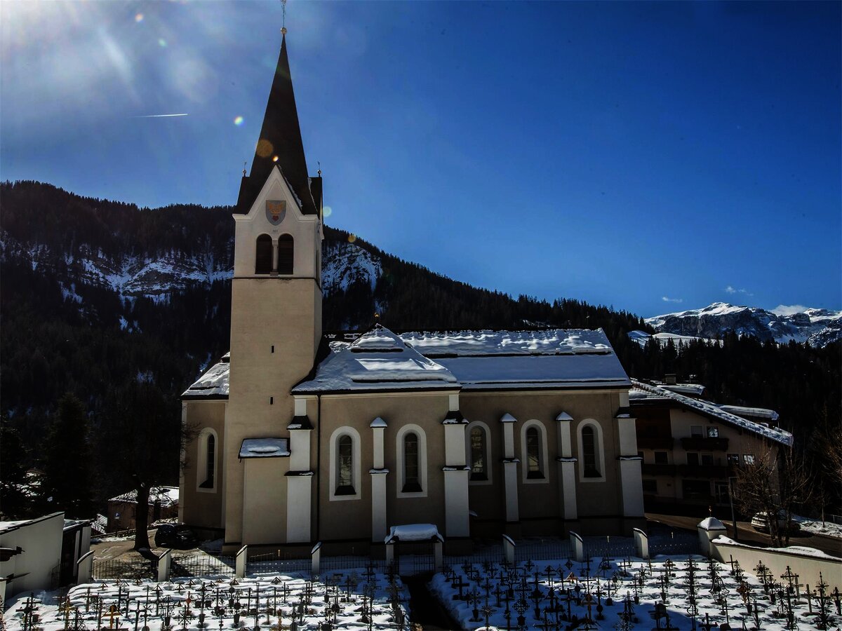
Chiesa parrocchiale La Val
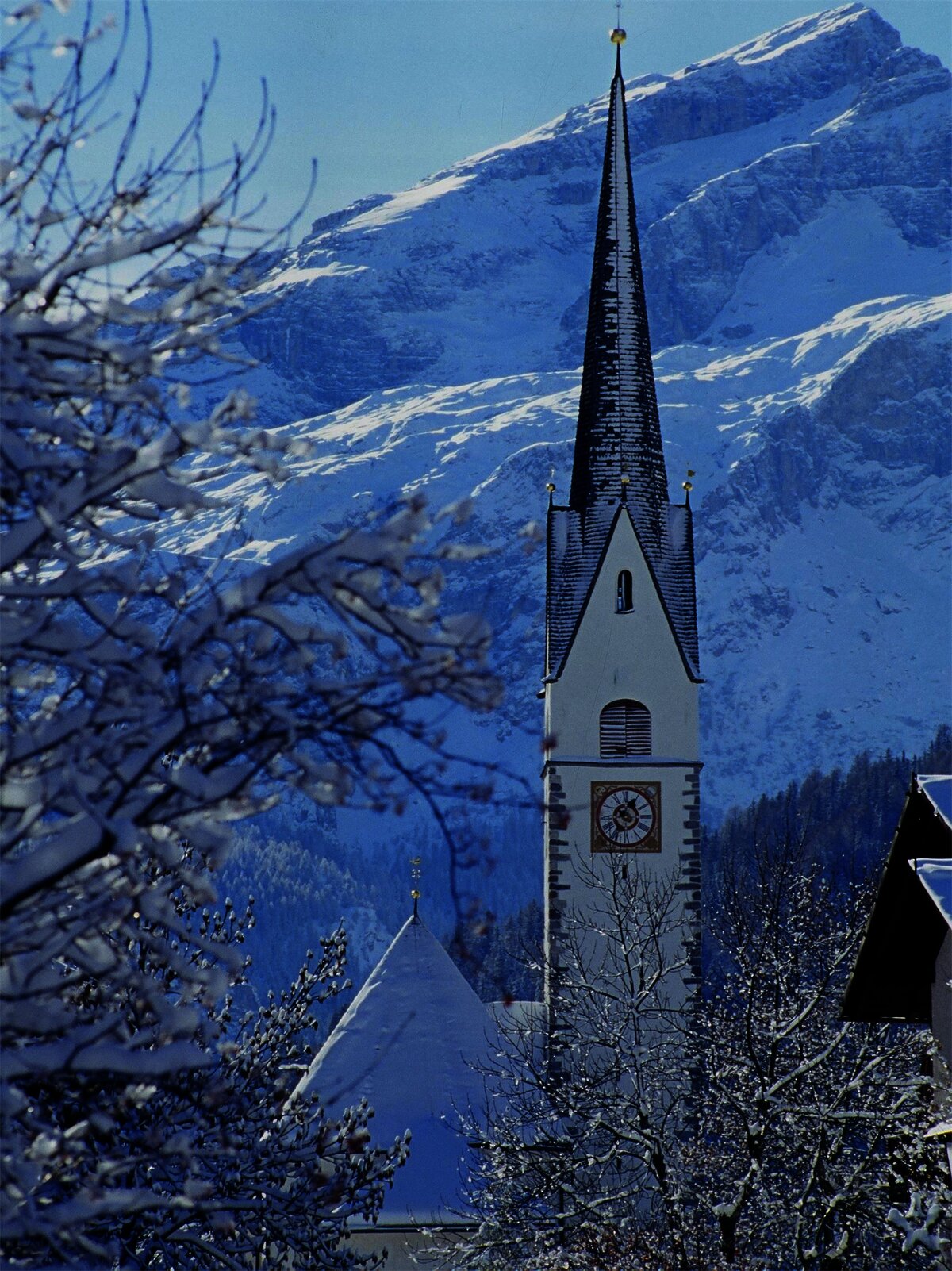
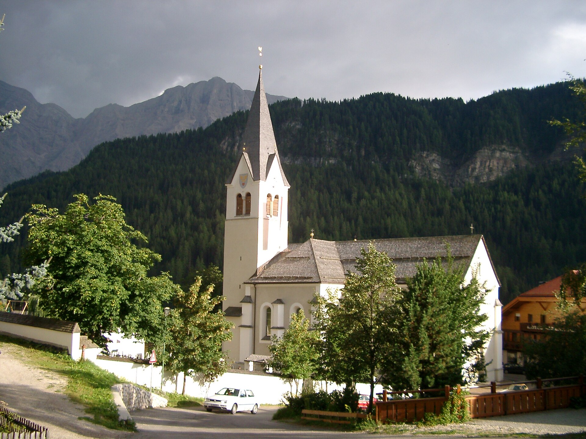
The parish church of La Valle, on the sunny terrace above the Gader stream.
Vecchia chiesa parrocchiale La Val
The old parish church of La Valle, kept beside its replacement on the hill above the village.
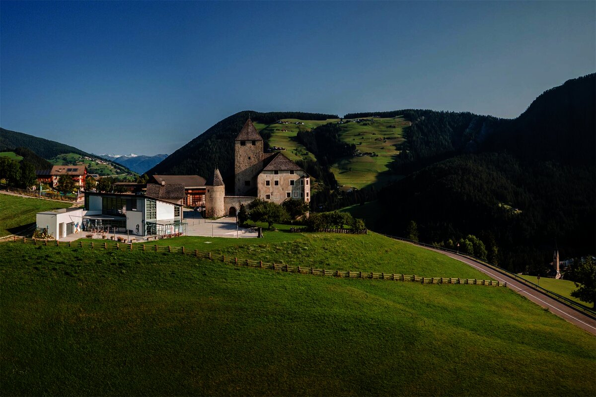
Museum Ladin Ciastel de Tor
4.1 km away, in San Martino in Badia/St. Martin in Thurn
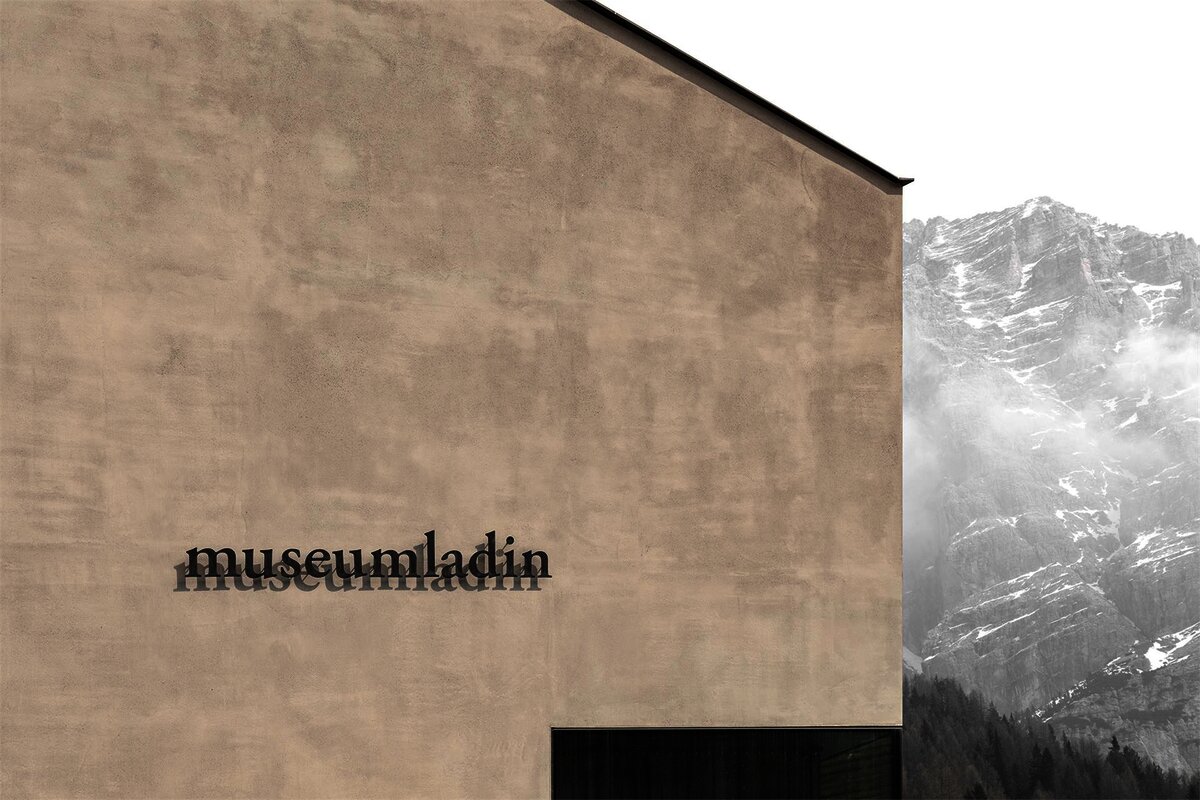
A museum in the fourteenth-century Ciastel de Tor at San Martino in Badia, opened in 2001 on Ladin language, history and geology.
Chiesa/santuario La Crusc/Santa Croce
4.3 km away, in Badia/Abtei
The Santa Croce sanctuary at 2,045 m below the Sas dla Crusc, a pilgrimage church above Badia since the fifteenth century.
Vaciara
7.2 km away, in San Martino in Badia/St. Martin in Thurn
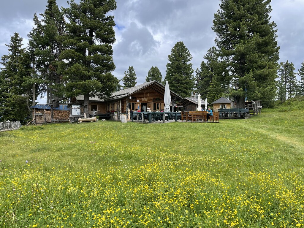
A pasture hut above San Martino in Badia, reached by forest track from the valley floor of the Val Badia.
Picio Pré Restaurant
7.6 km away, in Marebbe/Enneberg
A Slow Food mountain restaurant at 1,952 m in the Ladin comune of Marebbe, reached on the walk from the Furkelpass and open summer and winter.
Göma
7.9 km away, in San Martino in Badia/St. Martin in Thurn
A dairy hut on the pastures above San Martino in Badia, in the Val Badia.
Sterzing, Pfitsch und FreienfeldChiesa parrocchiale La Villa
8.2 km away, in Badia/Abtei
The parish church of La Villa in the Alta Badia.
Castello "Ciastel Colz"
8.5 km away, in Badia/Abtei
A fortified manor of 1530 at La Villa in the Alta Badia, now run as a restaurant.
Chiesa parrocchiale San Cassiano
9.1 km away, in Badia/Abtei
The parish church of San Cassiano in the Alta Badia, below the Conturines.
Museum Ladin Ursus ladinicus
9.2 km away, in Badia/Abtei
A museum in San Cassiano on the cave bear Ursus ladinicus, whose bones were found in the Conturines cave above the village.
Rifugio Cir
9.4 km away, in San Martino in Badia/St. Martin in Thurn
A mountain refuge in the hills above San Martino in Badia, on the Ladin side of the Val Badia.
Sterzing, Pfitsch und Freienfeld
Nothing of this kind in La Valle/Wengen.
Routes
From Furnacia to La Crusc
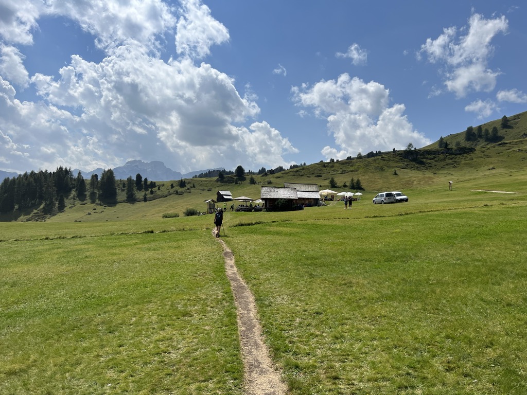
The best-known walk from La Valle, climbing from Furnacia to the Santa Croce sanctuary.
- 4.2 km
- Distance
- 332 m
- Ascent
- 1 h 33 min
- Duration
- 94
- Check-ins
Open route Alta Badia Tourism CooperativeFrom Spëscia to La Crusc
A walk through the forest above La Val to the Santa Croce hospice, high under the Sas dla Crusc with the Dolomite peaks ranged opposite.
- 10.6 km
- Distance
- 530 m
- Ascent
- 3 h 53 min
- Duration
- 94
- Check-ins
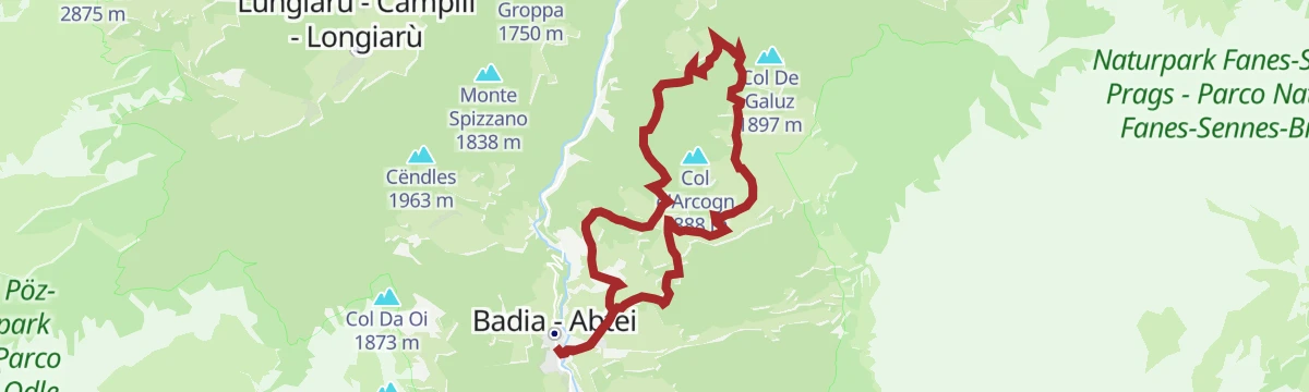
Open route Alta Badia Tourism CooperativeFrom Badia to the sanctuary of La Crusc/S.Croce and back through the Armentara meadows
A long round from Badia to the Santa Croce sanctuary and back over the flower-rich Armentara meadows, under the wall of the Sas dla Crusc.
- 19.6 km
- Distance
- 539 m
- Ascent
- 6 h 36 min
- Duration
- 122
- Check-ins
Open route Alta Badia Tourism CooperativeItinerario di scialpinismo Furnacia - La Crusc
An easy ski tour on a packed track, leaving the forest for the white expanse of the Armentara meadows under the Sasso Croce, with the Sassongher ahead.
- 4.2 km
- Distance
- 319 m
- Ascent
- 0 m
- Descent
- 1 h 22 min
- Duration
- 94
- Check-ins
Open route Sterzing, Pfitsch und FreienfeldMTB Fanes-Tour
A circuit into the Fanes-Sennes-Prags park above San Vigilio, climbing past Ücia Pices Fanes and Ücia dles Muntagnoles to the Jú de Limo.
- 56.5 km
- Distance
- 1 346 m
- Ascent
- 6 h 17 min
- Duration
- 699
- Check-ins
 Capanna Alpina 1 732 m
- Üćia Pederù - Berggasthaus Pederü - Rifugio Pederü 1 548 m
- Rifugio Fanes 2 060 m
- Ucia de Gran Fanes 2 102 m
 Jú de Limo 2 172 m
- Ücia dles Muntagnoles 2 026 m
- +16
Open route San Vigilio DolomitesRoad bike tour to the passo delle Erbe/Würzjoch
A road loop from Corvara to the Passo delle Erbe, skirting the Puez-Odle park under the Dolomite walls.
- 68.9 km
- Distance
- 1 867 m
- Ascent
- 7 h 52 min
- Duration
- 403
- Check-ins
- Jü de Börz - Würzjoch - Passo delle Erbe 1 987 m
- Ütia de Börz - Würzjochhütte 2 007 m
- Ütia Cir 2 005 m
- Residence Elisa 1 559 m
- Hotel Bel Sit 1 513 m
- Malga Paraciora 1 377 m
- +8
Open route Alta Badia Tourism CooperativeFarmhouses tour in La Val
An easy round of the old viles of La Val, its clustered farmsteads, past mown meadows, barns and the small church of St Barbara, between Sas dla Crusc and Putia.
- 5.6 km
- Distance
- 277 m
- Ascent
- 2 h 2 min
- Duration
- 6
- Check-ins
Open route Alta Badia Tourism CooperativeFrom La Val to the Rit meadows
A climb to the Rit meadows in the Fanes-Sennes-Prags park, thick with wild orchids, ending at the Crusc da Rit cross facing the Sas dla Crusc and the Putia.
- 14.1 km
- Distance
- 732 m
- Ascent
- 5 h 18 min
- Duration
- 68
- Check-ins
 Crusc da Rit 2 022 m
- Ütia da Rit 1 994 m
 Lêch de Rit 1 863 m
- Jù da Rit 1 865 m
- Al Bagn 1 417 m
- Tourist office - La Valle/ Wengen 1 352 m
Open route Alta Badia Tourism CooperativeSummer hike to Santa Croce / Heiligkreuz
A long day from San Vigilio by Rit and Spescia on trail 13, then trail 15 across the Armentara meadows, ending at the Santa Croce sanctuary.
- 11.9 km
- Distance
- 1 207 m
- Ascent
- 5 h 53 min
- Duration
- 122
- Check-ins
Open route San Vigilio DolomitesRoad bike tour along the Val Badia valley
A road circuit from Corvara down to Piccolino, then up to the quiet hamlet of Mirí above San Martino in Badia.
- 60.3 km
- Distance
- 1 280 m
- Ascent
- 6 h 34 min
- Duration
- 155
- Check-ins
- Corf 1 539 m
- Malga Paraciora 1 377 m
- Glam's 1 425 m
- L'Fana 1 425 m
- Badia Pub 1 327 m
- Badia Tourist Office 1 332 m
Open route Alta Badia Tourism CooperativeFrom La Val to Santa Barbara church
A short climb to the 15th-century church of Santa Barbara on the hill above La Val, where the Lords of Ru are said to have buried money and jewels.
- 1.0 km
- Distance
- 137 m
- Ascent
- 33 min
- Duration
- 6
- Check-ins
Open route Alta Badia Tourism CooperativeHike to Rit
A half-day climb out of San Vigilio on the Sarjëi path, returning by Ciamaor down steep meadows and woodland, with the Passo Giogo on the way.
- 13.3 km
- Distance
- 688 m
- Ascent
- 4 h 59 min
- Duration
- 44
- Check-ins
- Hotel La Para 1 492 m
- Berghotel Soleseid 1 475 m
- Piz de Plaies 1 321 m
- Ciasa Pedagà 1 309 m
- Passo Giogo 1 527 m
Open route San Vigilio DolomitesA hike from San Vigilio across S. Antonio pass to the Fanes pastures
A long climb from San Vigilio by Rit and Spescia on waymark 13, over the San Antonio pass to the Fanes pastures; the return can go by Pederü.
- 13.3 km
- Distance
- 1 523 m
- Ascent
- 7 h 38 min
- Duration
- 111
- Check-ins
- Crusc da Rit 2 022 m
- Lavarella Mountain Lodge 2 050 m
- Ütia da Rit 1 994 m
- Picia Capela de Fanes 2 045 m
- Ju de Sant Antone 2 466 m
Open route San Vigilio DolomitesRoad bike tour to the Furcia Pass
A road loop from Badia over the Ju de Furćia into the Val Pusteria, on climbing roads the Giro d'Italia has used more than once.
- 85.2 km
- Distance
- 1 758 m
- Ascent
- 9 h 13 min
- Duration
- 131
- Check-ins
- Furcia Center 1 741 m
- Ju de Furćia - Furkelpass - Passo Furcia 1 789 m
- Cafe Preroman 1 107 m
- Posta 1 019 m
- Hubertus 1 292 m
- Marchner Hütte 1 551 m
- +9
Open route Alta Badia Tourism CooperativeTrail Forest Bathing - Tru dl bosch Al Bagn
A short forest-bathing loop at Al Bagn, quiet under the trees, with signboards on the plants and animals along the way.
- 1.3 km
- Distance
- 87 m
- Ascent
- 27 min
- Duration
- 6
- Check-ins
Open route Alta Badia Tourism CooperativeFrom Badia through the Armentara meadows
A relaxed round from Badia over the Armentara meadows, rich in flowers, past small stands of conifer and long-standing timber chalets.
- 14.3 km
- Distance
- 618 m
- Ascent
- 4 h 53 min
- Duration
- 33
- Check-ins
Open route Alta Badia Tourism CooperativeRit tour
A long round from Picolin on tarmac and then gravel through forest and meadow above the Gader valley, with the Fanes hut a good place to stop.
- 26.1 km
- Distance
- 1 076 m
- Ascent
- 8 h 48 min
- Duration
- 87
- Check-ins
- Crusc da Rit 2 022 m
- Col dl'Ancona 1 619 m
- Ütia da Rit 1 994 m
- Cafe Preroman 1 107 m
- Ciurnadù 1 551 m
- Passo Giogo 1 527 m
- +1
Open route San Vigilio DolomitesFrom Pederoa to the farms Picedac, Aiarëi and Costa back to Pederoa
A round from Pederoa up to the Picedac farms for a new angle on La Val, then through the hamlet of Grones to Costa and back along the river.
- 13.5 km
- Distance
- 420 m
- Ascent
- 4 h 12 min
- Duration
- 19
- Check-ins
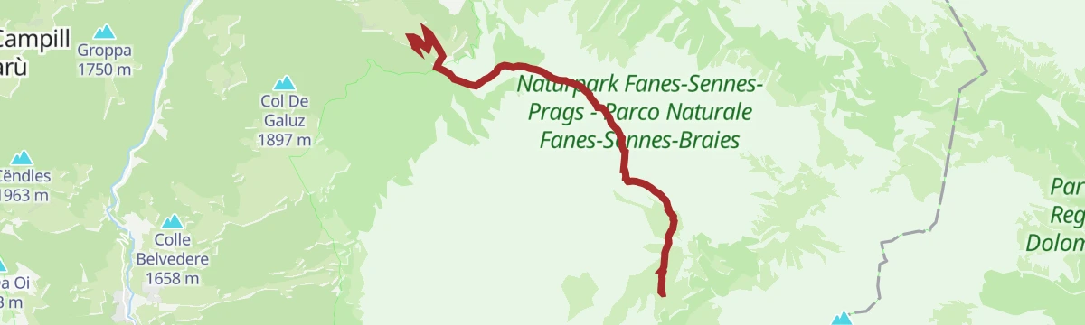
Open route Alta Badia Tourism CooperativeFrom La Val to the Fanes alp
A stiff climb to the Sant Antone pass above La Val, gentle at first and steeper by the high meadows, where forest gives way to pine; an easy drop to Fanes follows.
- 8.9 km
- Distance
- 928 m
- Ascent
- 4 h 43 min
- Duration
- 76
- Check-ins
- Lavarella Mountain Lodge 2 050 m
- Picia Capela de Fanes 2 045 m
- Ju de Sant Antone 2 466 m
- Ciamplorat 1 704 m
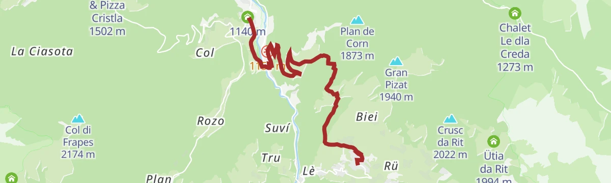
Open route Alta Badia Tourism CooperativeFrom La Val to Corn
A walk through the farmed landscape of the Badia valley past its scattered viles to the Corn plateau, which looks to San Vigilio one way and San Martin the other.
- 10.4 km
- Distance
- 608 m
- Ascent
- 4 h 15 min
- Duration
- 10
- Check-ins
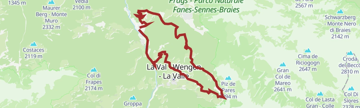
Open route Alta Badia Tourism CooperativeTo the Pares peak
A long climb from La Val over the Rit meadows and the Crusc da Rit cross to the Piz de Pares, one of the widest viewpoints above the village.
- 16.5 km
- Distance
- 1 093 m
- Ascent
- 7 h 21 min
- Duration
- 76
- Check-ins
- Crusc da Rit 2 022 m
- Piz de Pares 2 394 m
- Ütia da Rit 1 994 m
- Lêch de Rit 1 863 m
- Jù da Rit 1 865 m
- Tourist office - La Valle/ Wengen 1 352 m
Open route Alta Badia Tourism CooperativeHike from San Martin across Lovara - Costa to La Val / Wengen
A gentle walk from San Martin by way of Lovara and Costa, then a forest track up to Ciampëi before dropping into La Valle.
- 7.6 km
- Distance
- 413 m
- Ascent
- 2 h 36 min
- Duration
- 6
- Check-ins
Open route San Vigilio Dolomites
No routes of this kind in La Valle/Wengen yet.
The region's own picks

Featured route
From Furnacia to La Crusc
The best-known walk from La Valle, climbing from Furnacia to the Santa Croce sanctuary.
Planning a trip to La Valle/Wengen?
Everything else Trentino-Alto Adige/Südtirol has, in one place


Take La Valle/Wengen with you into the mountains
Every route on this page with 3D terrain, GPX navigation and offline maps — including the valleys with no signal.
Data sources
- Official website: suedtirol.info ↗
- Routes and highlights: Alta Badia Tourism Cooperative, Sterzing, Pfitsch und Freienfeld, Alta Badia, San Vigilio Dolomites
- Published as open data by the tourist boards named above.
- Region summary generated from the board's own material.
