
Curated by Kufsteinerland
Kirchbichl
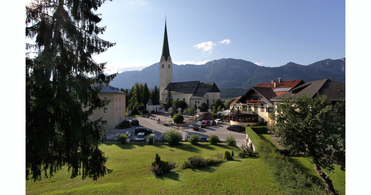
An industrial and residential municipality on the Inn beside Wörgl, with the Bruckhäusl quarter and a moor lido on the river terraces.
- 15Highlights
- 32Routes
Highlights
All 15 from neighbouring places
Haslacher Moor
0.3 km away, in Bad Häring
A small bog near Bad Häring in the Kufsteinerland, a protected wetland crossed by local walking routes.
Erlebnis der Sinne
1.2 km away, in Bad Häring
A sensory trail near Bad Häring, with stations inviting visitors to touch, listen and look as they walk through the woodland.
Häringer Erdfeuerplatz
2 km away, in Bad Häring
A site at Bad Häring recalling the 'earth fires' of its coal-mining past, where escaping gas is said to have burned from the ground.
Wasserfall Bad Häring
2.5 km away, in Schwoich
A waterfall near the spa village of Bad Häring in the Kufsteinerland, reached by an easy walk through the woods.
Alpengasthaus Stallhäusl
3.7 km away, in Söll
An alpine guesthouse above Söll at the western edge of the Kufsteinerland, a rustic stop for walkers with home-style Tyrolean cooking.
Almgasthof Möslalm
3.7 km away, in Wörgl
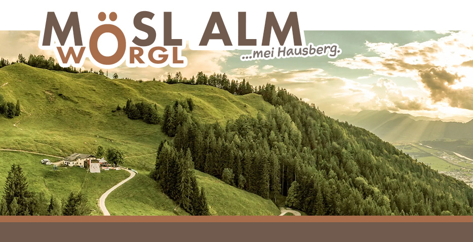
An alm inn in the hills above Wörgl in the Kitzbüheler Alpen, a walking destination serving traditional Tyrolean food on the mountain pastures.
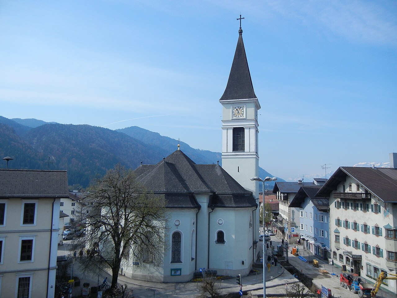
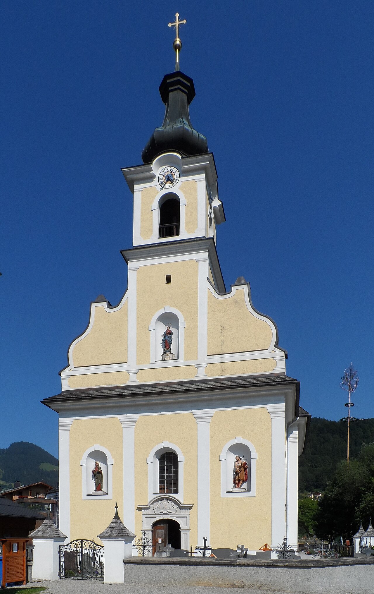
Stadtpfarrkirche Wörgl
3.8 km away, in Wörgl
The main parish church of Wörgl, serving the Inn valley town that grew around the rail junction between Innsbruck and Kitzbühel.
Galerie am Stadtplatz
3.8 km away, in Wörgl
An art gallery on the town square of Wörgl, staging changing exhibitions of regional and contemporary work.
Ruine Rudersburg
4.5 km away, in Langkampfen
The scant remains of a small castle in the Thiersee area of the Kufsteinerland, reached on woodland walking paths.
rITTERspielplatz
5 km away, in Itter
A knight-themed playground in Itter whose name plays on the village name, with wooden play equipment below Schloss Itter.
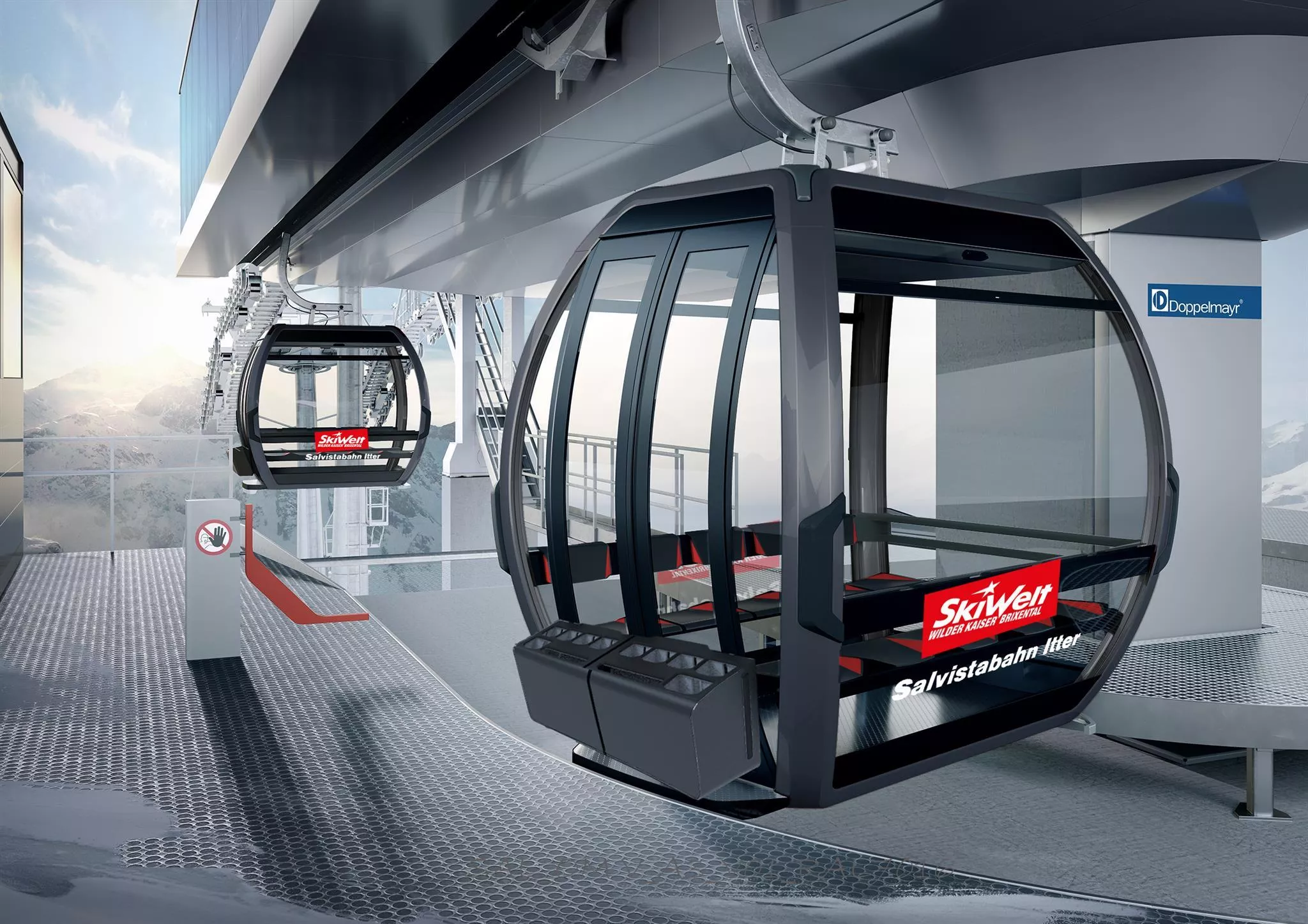
Bergbahn Itter - Salvistabahn
5.2 km away, in Itter
The gondola from Itter onto the Salvista ridge, a quieter entry to the slopes and trails around Hohe Salve in the SkiWelt region.
Salvistabahn Itter
5.2 km away, in Itter
A gondola from Itter rising toward the Hohe Salve, linking the village into the surrounding ski and hiking area.
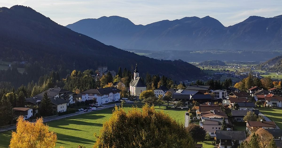
Pfarrkirche Itter
5.3 km away, in Itter
The parish church of Itter, standing near the village castle on a terrace above the mouth of the Brixental valley.
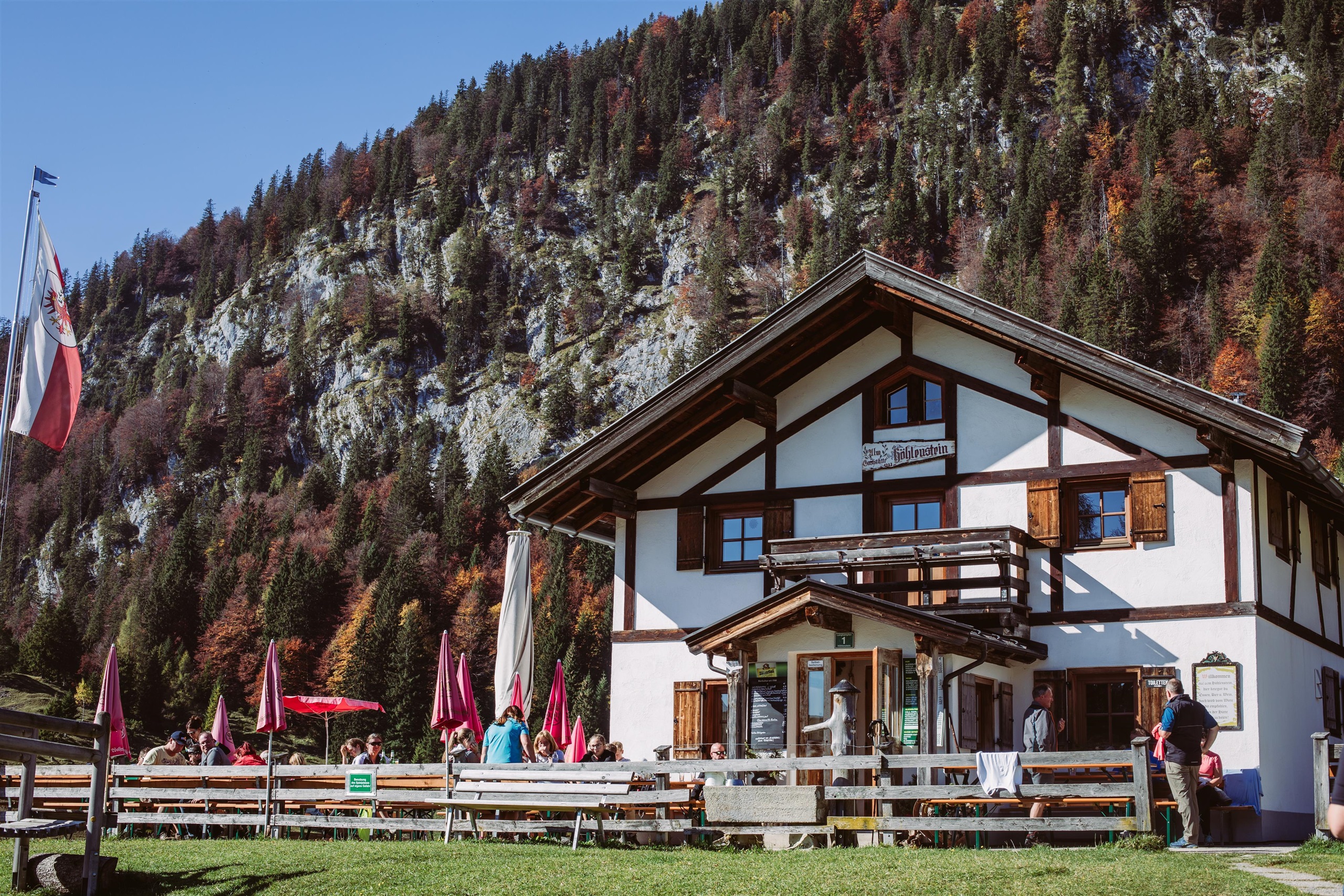
Höhlensteinhaus Almgasthaus
5.4 km away, in Langkampfen
An alm inn on the Höhlenstein above Langkampfen, reached on foot or by bike, serving hut fare with views over the Inn valley.
Königslinde Schwoich
5.6 km away, in Schwoich
An old lime tree at Schwoich known as the King's Linden, a designated natural landmark of the Kufsteinerland.
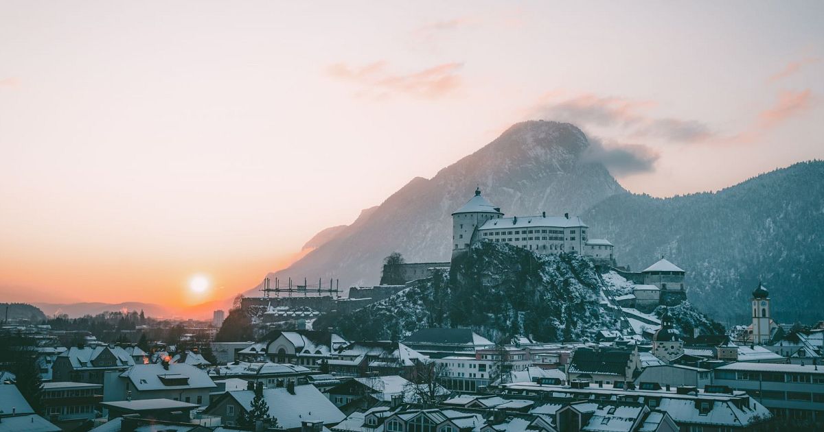
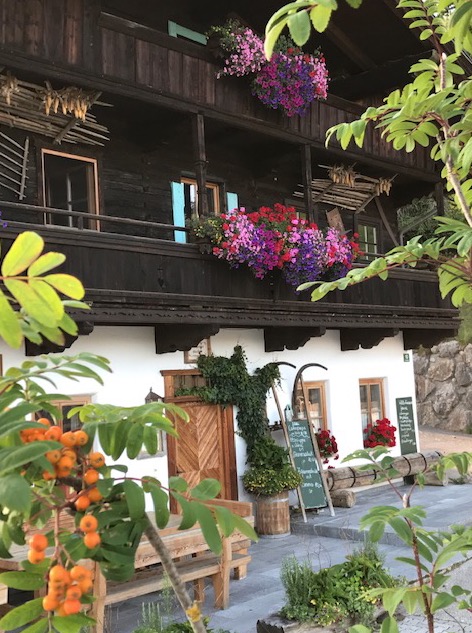
 Historic site
 Cable car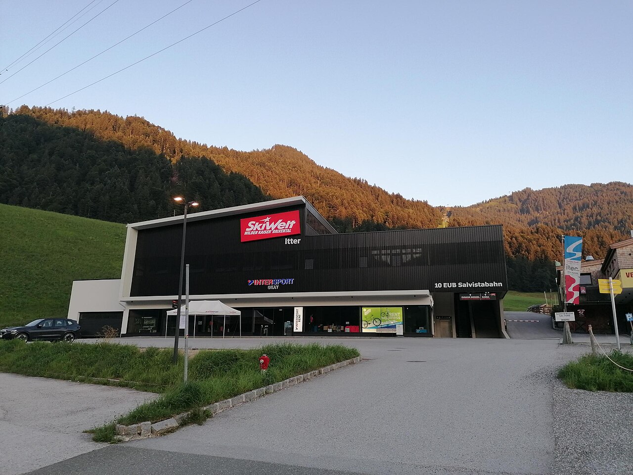
Nothing of this kind in Kirchbichl.
Routes
Kleiner Panoramaweg
Shorter of Kirchbichl's two panorama loops, an easy walk on the sunny terrace above the Inn with views from the Wilder Kaiser to the Rofan.
- 4.3 km
- Distance
- 127 m
- Ascent
- 1 h 20 min
- Duration
- 2
- Check-ins
Großer Panoramaweg
Longer panorama circuit above Kirchbichl, rolling along the terrace edge with the Inn valley below and the Kaiser mountains across the way.
- 8.9 km
- Distance
- 157 m
- Ascent
- 2 h 28 min
- Duration
- 2
- Check-ins
Radwanderweg Wilder Kaiser Nr. 14
A waymarked route along the southern foot of the Wilder Kaiser, from the Inn valley at Bruckhäusl up to Ellmau at around 800 m.
- 38.1 km
- Distance
- 473 m
- Ascent
- 3 h 46 min
- Duration
- 17
- Check-ins
Rennrad 08 Pölvenrunde
A long road circuit from the lower Inn valley over to Hopfgarten in the Brixental, returning by Mariastein and Angerberg.
- 82.2 km
- Distance
- 1 004 m
- Ascent
- 8 h 14 min
- Duration
- 50
- Check-ins
Innrunde
Flat riverside loop at Angath along the Inn's embankment paths — a stroller-friendly walk with mountain views and barely a metre of climbing.
- 2.9 km
- Distance
- 6 m
- Ascent
- 42 min
- Duration
Pölvenradrunde
A mountain-bike circuit around the hill between Bad Häring and Schwoich, dropping to Bruckhäusl near Wörgl past the Gasthof Oberstegen.
- 29.6 km
- Distance
- 422 m
- Ascent
- 3 h 2 min
- Duration
- 7
- Check-ins
16 - Radmarathon Seenrunde
A long-distance road circuit from the Angerberg terrace down to the bathing lakes near Kramsach and back by way of Mariastein.
- 94.3 km
- Distance
- 1 610 m
- Ascent
- 9 h 53 min
- Duration
- 42
- Check-ins
Innradweg Kufstein - Hall
A near-level valley route along the Inn between Kufstein and Hall in Tirol, following the river past Kundl, Rotholz and Pill.
- 72.3 km
- Distance
- 90 m
- Ascent
- 6 h 28 min
- Duration
- 4
- Check-ins
01A - Seenrundfahrt - Variante Brandenberg
A long road loop through the lower Inn valley and up the side valley to Brandenberg, taking in the small lakes around Kramsach.
- 90.9 km
- Distance
- 1 593 m
- Ascent
- 9 h 34 min
- Duration
- 39
- Check-ins
Rennrad 07 Kufstein Festungsrunde
A long road loop down the Inn valley to the fortress town of Kufstein and back, starting from the lakes near Kramsach.
- 75.9 km
- Distance
- 650 m
- Ascent
- 7 h 21 min
- Duration
- 38
- Check-ins
06 - Hochtal-Tour Schönangeralm
A long day from the Inn valley at Kufstein into the Wildschönau, climbing the high valley to the Schönangeralm at 1,172 m before the return.
- 81.3 km
- Distance
- 1 376 m
- Ascent
- 8 h 30 min
- Duration
- 36
- Check-ins
06A - Variante Hochtal-Runde
A tougher variant of the Wildschönau circuit, adding height on the way to the Schönangeralm and passing the Feldalm and Gasthof Oberstegen.
- 80.7 km
- Distance
- 1 715 m
- Ascent
- 8 h 47 min
- Duration
- 36
- Check-ins
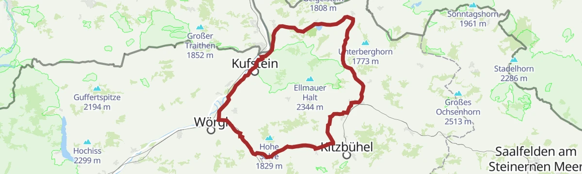
02 - Rund um die Salve und den Kaiser
A long road loop out of Scheffau down to Kufstein and back through Hopfgarten, passing the Erlensee on the return.
- 95.3 km
- Distance
- 1 074 m
- Ascent
- 9 h 28 min
- Duration
- 34
- Check-ins
Rennradrunde - Reintaler Seen
A long road circuit from the Inn valley up to the lakes above Kramsach, with inns and campsites along the shore.
- 69.9 km
- Distance
- 655 m
- Ascent
- 6 h 49 min
- Duration
- 34
- Check-ins
Rennrad 03 Angerberg
A road tour from the lakes at Kramsach onto the terrace above the lower Inn valley, returning through Rattenberg and Brixlegg.
- 59.3 km
- Distance
- 473 m
- Ascent
- 5 h 42 min
- Duration
- 33
- Check-ins
19 - Kurzer und Langer Grund
A long road tour from Kufstein up to Hopfgarten and into the side valleys behind it, crossing the Wegscheid at 1,142 m.
- 83.0 km
- Distance
- 1 792 m
- Ascent
- 9 h 3 min
- Duration
- 33
- Check-ins
Rund um die Hohe Salve Grand Tour
The long version of the loop around the Salve massif, taking in Ellmau and the villages of the Brixental over more than 80 km.
- 84.8 km
- Distance
- 1 044 m
- Ascent
- 8 h 31 min
- Duration
- 28
- Check-ins
Gravelbiketour: Reintaler Seenrunde
A gravel loop out of Kundl to the lakes at Kramsach, running past Toni's Seealm and the shoreline campsites before the valley return.
- 62.9 km
- Distance
- 558 m
- Ascent
- 6 h 6 min
- Duration
- 25
- Check-ins
Wilde Kaiser Rennrad Runde
A full day on the road from Scheffau round to Walchsee and back through Kufstein, a circuit of the whole massif on valley roads.
- 95.3 km
- Distance
- 914 m
- Ascent
- 9 h 19 min
- Duration
- 24
- Check-ins
06B - Hochtal-Tour Horler Stiegl
A big day between the Inn valley at Kufstein and the Wildschönau, climbing to around 880 m at Niederau before the return along the river.
- 73.6 km
- Distance
- 1 617 m
- Ascent
- 8 h 3 min
- Duration
- 20
- Check-ins
Radwanderweg Wilder Kaiser Nr. 14
A family tour from Wörgl station along the terrace below the Kaiser peaks as far as Ellmau, with the Waldhof Alm en route.
- 37.5 km
- Distance
- 435 m
- Ascent
- 3 h 44 min
- Duration
- 18
- Check-ins
14 | Radweg Wilder Kaiser
A cycle route along the foot of the Kaiser range from Wörgl up through Söll and Ellmau, passing the Ellmauer Alm.
- 38.0 km
- Distance
- 585 m
- Ascent
- 3 h 55 min
- Duration
- 17
- Check-ins
C - Das Inntal entdecken
A valley cycle tour out of Kufstein along the Inn, looping up past the Strillinger Stausee before turning back to town.
- 31.1 km
- Distance
- 294 m
- Ascent
- 3 h 2 min
- Duration
- 14
- Check-ins
 Tourist Information Kufstein 486 m
- Fernheizwerk Kufstein 488 m
 Lurchweiher 484 m
- TVB 586 m
- Strillinger Stausee 524 m
Stallhäuslrunde
A hill circuit above the Inn and Brixental valleys, climbing from Bruckhäusl to the Stallhäusl at 972 m and back down by Hopfgarten.
- 28.6 km
- Distance
- 765 m
- Ascent
- 3 h 16 min
- Duration
- 12
- Check-ins
- Stallhäusl 972 m
- Tourismusbüro 592 m
- Jagdhüttn 886 m
- Fischteich 586 m
B - Zum Fuße des Pölven
A tour from Kufstein round the foot of the Pölven, past the Lurchweiher, the climbing tower in town and the campsite at Schwoich.
- 25.0 km
- Distance
- 281 m
- Ascent
- 2 h 29 min
- Duration
- 11
- Check-ins
14 - Radmarathon Panoramarunde
A road circuit on the terraces above the Inn between Kufstein and Mariastein, passing the Strillinger Stausee and the Lurchweiher.
- 47.4 km
- Distance
- 672 m
- Ascent
- 4 h 50 min
- Duration
- 9
- Check-ins
- Infopoint Angerberg/Mariastein 647 m
- Lurchweiher 484 m
- Strillinger Stausee 524 m
- Tiroler Fliegerstube 486 m
- Metallveredelung Huber 486 m
Rundtour Großer Pölven - Rennradtour
A road-bike round of the Pölven, climbing past the Moorsee at 671 m and returning through Bruckhäusl to the Inn valley.
- 35.4 km
- Distance
- 651 m
- Ascent
- 3 h 45 min
- Duration
- 9
- Check-ins
Thierseerunde
A long circuit north of the Inn through the Thiersee basin, crossing the Marblinger Höhe and reaching the Kaiserhaus in the Brandenberg valley.
- 78.1 km
- Distance
- 1 462 m
- Ascent
- 8 h 19 min
- Duration
- 9
- Check-ins
Kaiserweis‘ Genussradroute Genuss & Handwerk
A 36 km loop between Kufstein and the villages below the Kaisergebirge, calling at Schwoich and the tourist office at Bad Häring.
- 34.5 km
- Distance
- 381 m
- Ascent
- 3 h 25 min
- Duration
- 8
- Check-ins
Pölvenradrunde
A road circuit around the Pölven from Schwoich, over to Bad Häring and back by Bruckhäusl near Wörgl.
- 29.6 km
- Distance
- 585 m
- Ascent
- 3 h 11 min
- Duration
- 7
- Check-ins
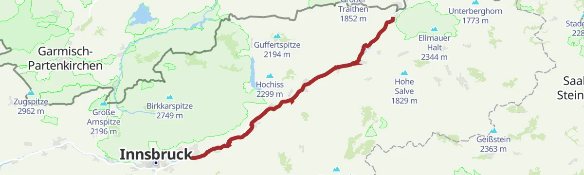
Innradweg - Tiroler Unterland - Radwanderroute 2
A long day on the Inn valley cycle route, running downstream from Innsbruck through Hall in Tirol to Rattenberg, Brixlegg and Kundl.
- 99.6 km
- Distance
- 95 m
- Ascent
- 8 h 58 min
- Duration
- 5
- Check-ins
Innradweg von Wörgl bis Kufstein
A flat stretch of the Inn cycle path through Kirchbichl, following the river downstream from Wörgl to Kufstein.
- 17.3 km
- Distance
- 102 m
- Ascent
- 1 h 38 min
- Duration






No routes of this kind in Kirchbichl yet.
Planning a trip to Kirchbichl?
Everything else Tyrol has, in one place


Take Kirchbichl with you into the mountains
Every route on this page with 3D terrain, GPX navigation and offline maps — including the valleys with no signal.
Data sources
- Official website: kitzbueheler-alpen.com ↗
- Routes and highlights: Kufsteinerland, Kitzbüheler Alpen Tourismus, Alpbachtal Tourismus, Wilder Kaiser Tourismus, Region Hall-Wattens, Kitzbühel Tourismus
- Published as open data by the tourist boards named above.
- Region summary generated from the board's own material.
