
Curated by Innsbruck Tourismus
Kematen in Tirol
Where the Sellraintal opens into the Inn valley west of Innsbruck, a village at 610 m on the Melach around the church of St. Viktor and Magdalena.
- 2Highlights
- 9Routes
Highlights
13 from neighbouring places
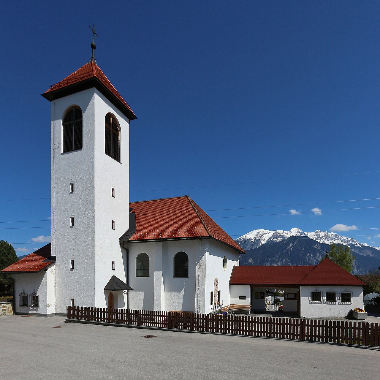
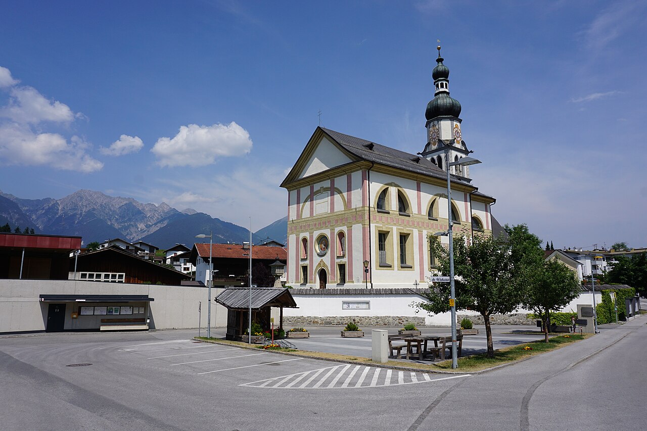
Pfarrkirche St. Viktor & Magdalena
The parish church of Kematen in Tirol (610 m), dedicated to St. Victor and St. Magdalene, near the mouth of the Sellrain valley.
"Der Spion" Escape Room
An escape-room game in Kematen in Tirol where teams unravel a spy story against the clock in a themed set of rooms.
Mooskapelle in Grinzens
2.8 km away, in Grinzens
A small chapel in the meadows near Grinzens, a wayside devotional stop in the villages on the terrace southwest of Innsbruck.
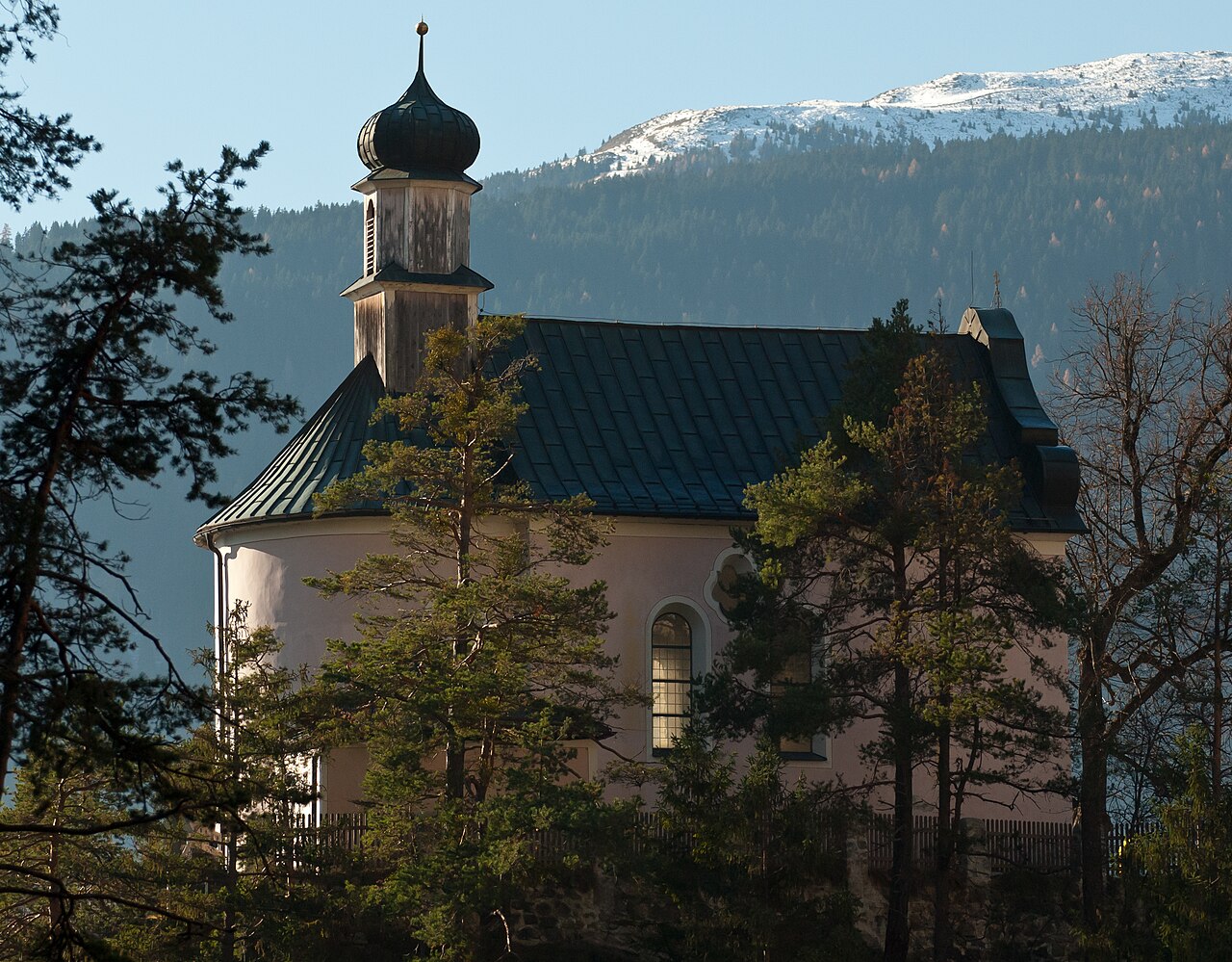
Kalvarienbergkirche
3.1 km away, in Zirl
A calvary church on a knoll above Zirl (622 m), the endpoint of a stations-of-the-cross path with views over the Inn valley.
Heimat- und Krippenmuseum Zirl
3.4 km away, in Zirl
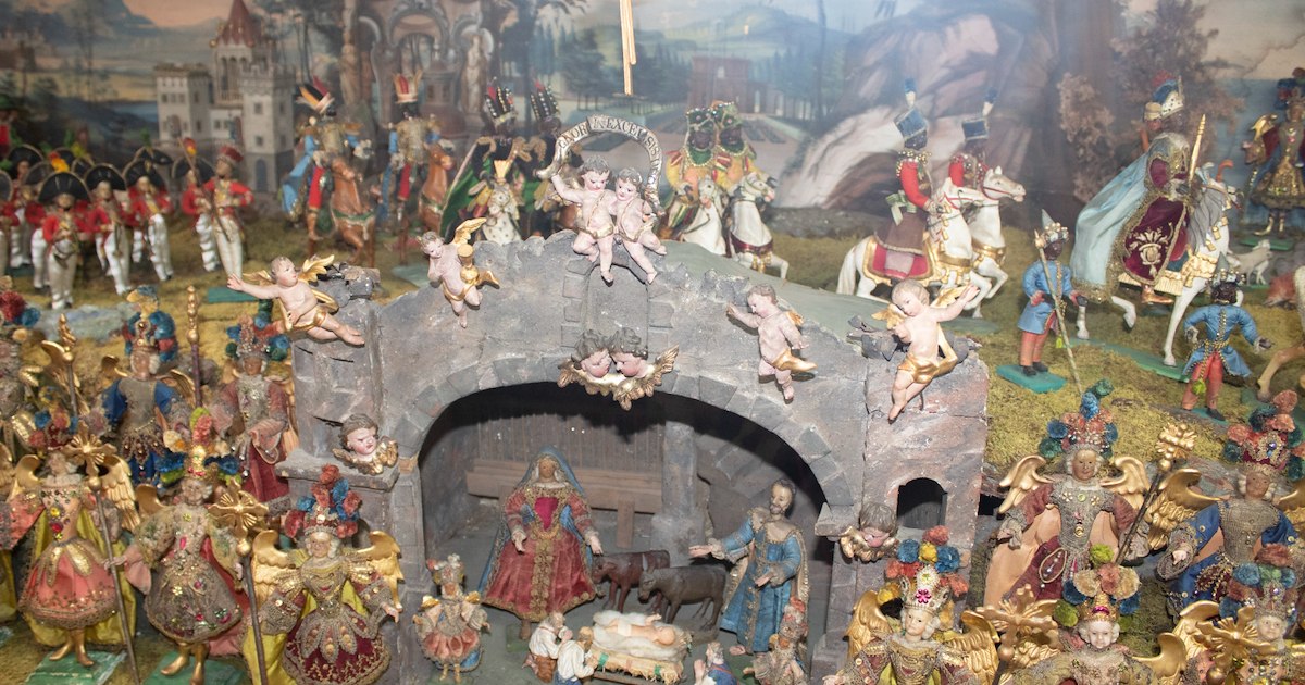
Zirl's local heritage museum, pairing village history with a collection of Christmas nativity scenes from the region.
Ruine Fragenstein
4 km away, in Zirl
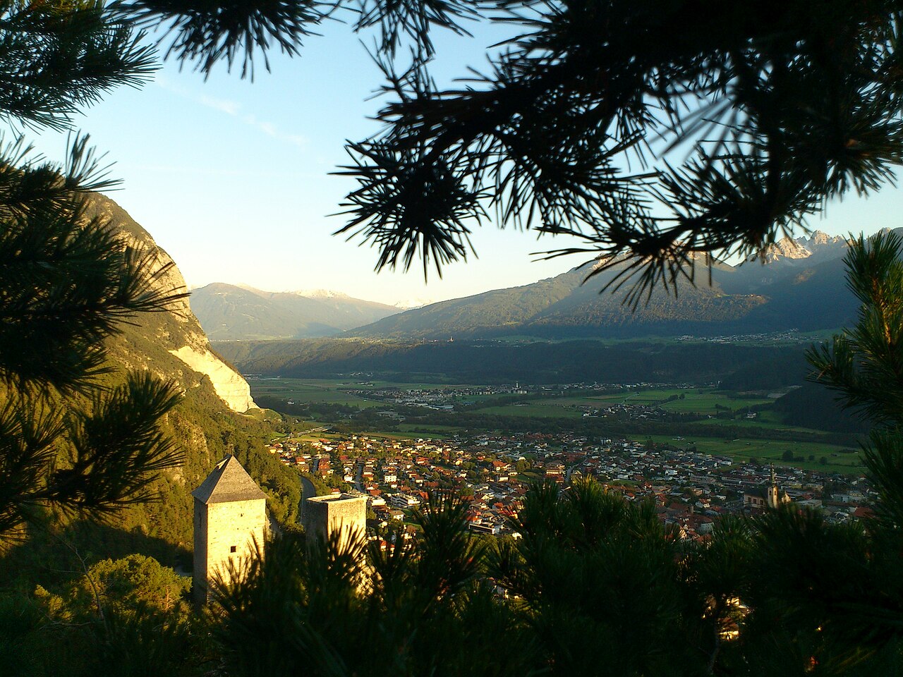
The ruin of a medieval castle on the slope above Zirl (622 m), whose remaining tower and walls overlook the Inn valley.
Absetzkapelle oder Osötz Kapelle
5 km away, in Zirl
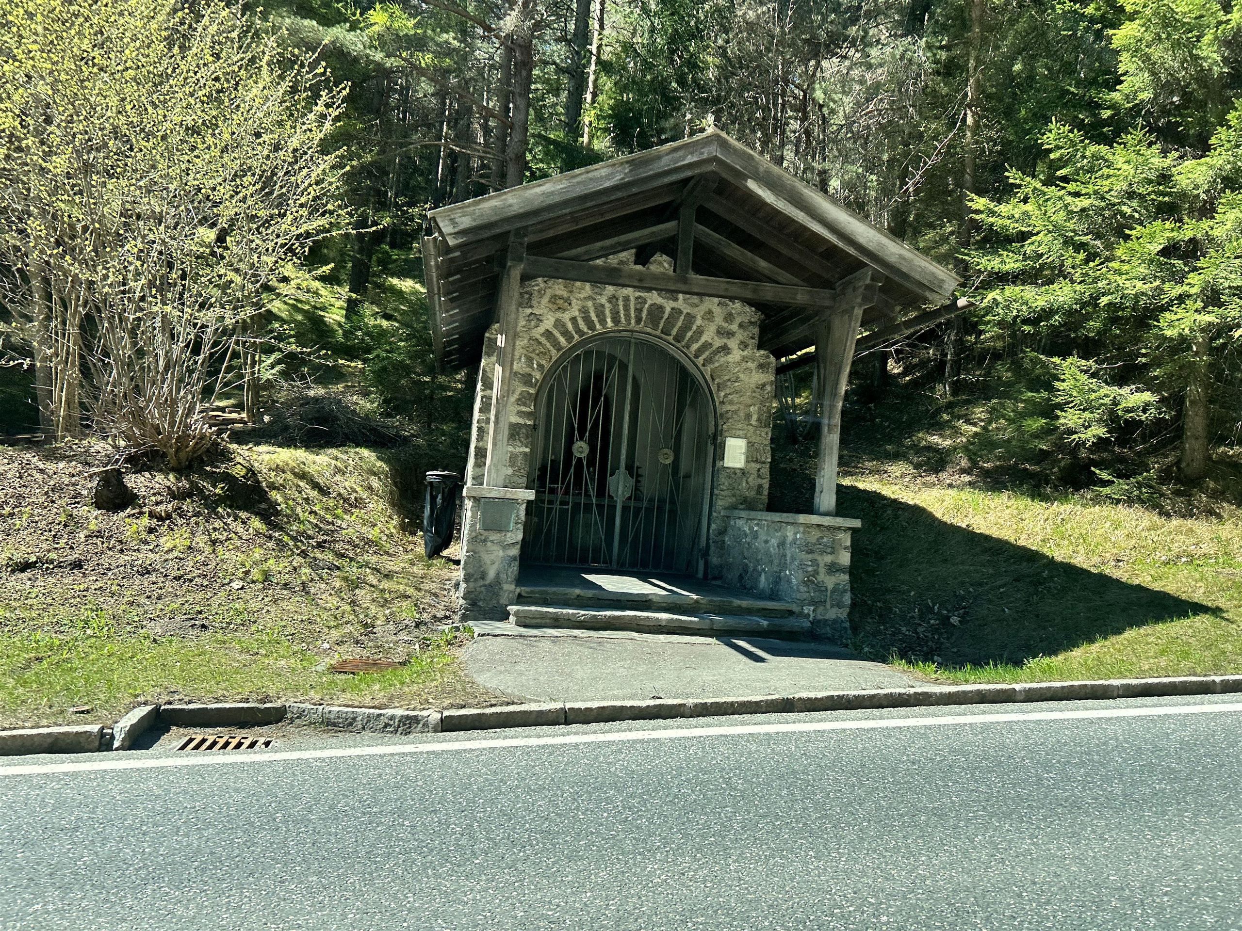
A wayside chapel near Reith bei Seefeld, known as the Absetzkapelle or Osötz Kapelle, on an old path above the Inn valley.
Schlossbachklamm
5.2 km away, in Zirl
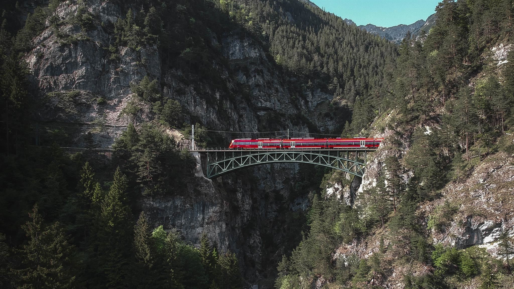
A wooded gorge near Reith bei Seefeld where the Schlossbach falls toward the Inn valley, spanned by a bridge of the Mittenwald railway.
Solsteinhaus
5.9 km away, in Zirl
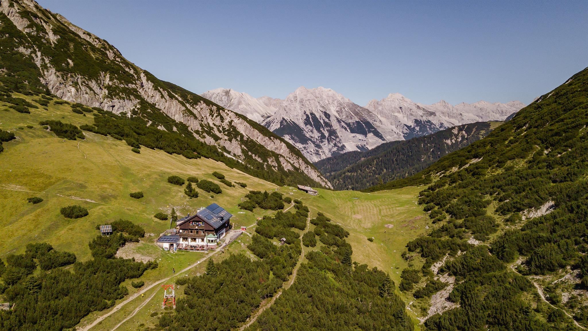
An Alpine Club hut at about 1,800 m below the Erlspitze and Solstein summits, reached from Scharnitz, Gießenbach or Zirl.
Birgitzer Alm
6.1 km away, in Birgitz
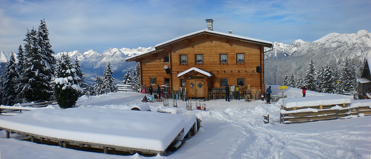
An alpine pasture hut above Birgitz (859 m) on the slopes toward the Kalkkögel, a destination for walkers in summer and tobogganers in winter.
Kristenalm
8.2 km away, in Zirl
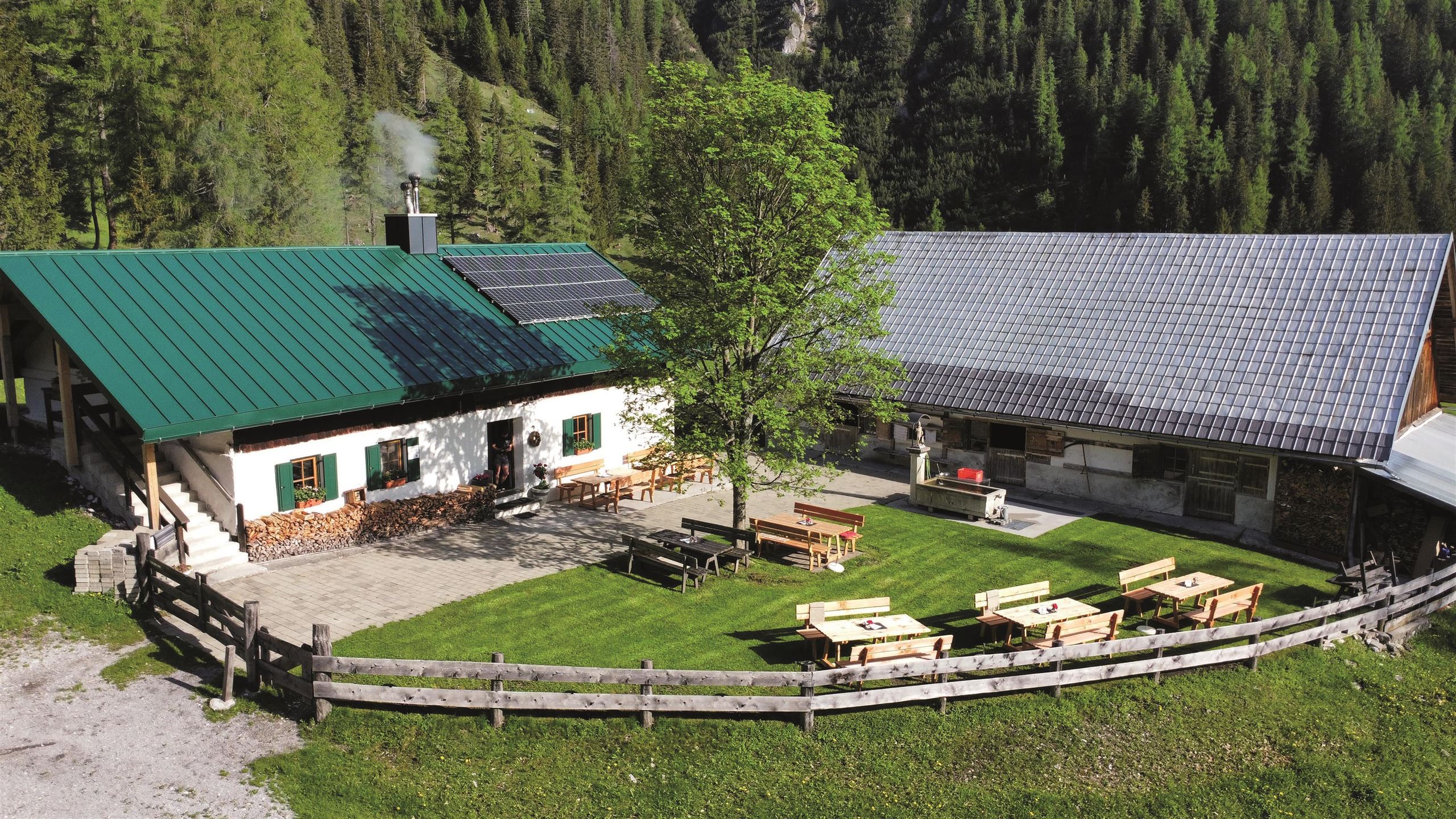
An alm in the Karwendel valleys south-east of Scharnitz, a stop on the gravel tracks used by walkers and mountain bikers.
Eppzirler Alm
8.4 km away, in Zirl
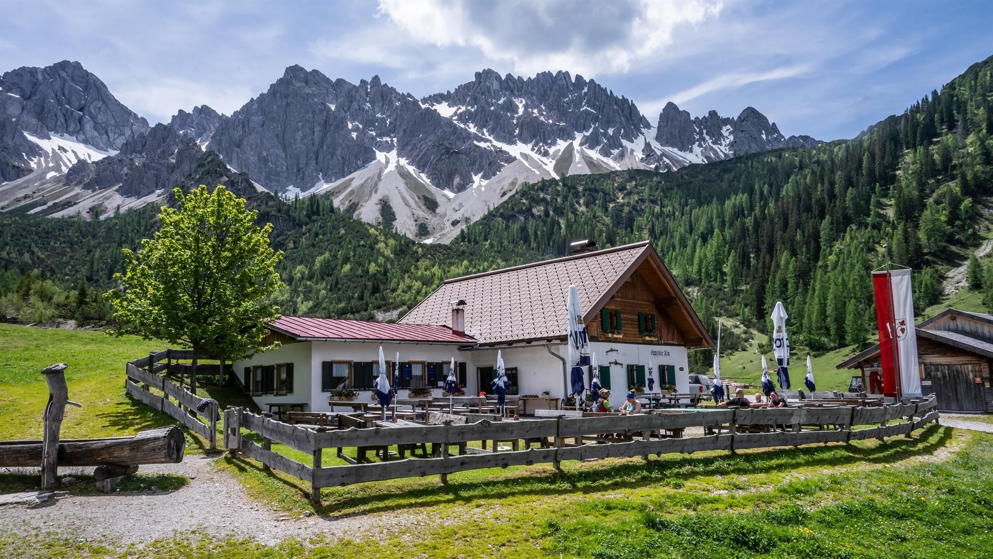
An alm in the Eppzirler Tal, a quiet Karwendel side valley above Scharnitz and Gießenbach, serving walkers below the Erlspitze group.
Pfarrkirche Ranggen
5.3 km away, in Ranggen
The parish church of Ranggen (826 m), the landmark of a small farming village in the hills west of Innsbruck.
Rosenkapelle (Nikolauskapelle) in Reith
5.8 km away, in Reith bei Seefeld
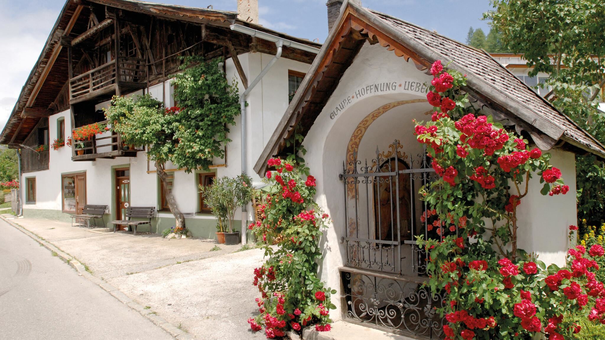
A small chapel in Reith bei Seefeld, also known as the Nikolauskapelle, one of several wayside chapels around the village.
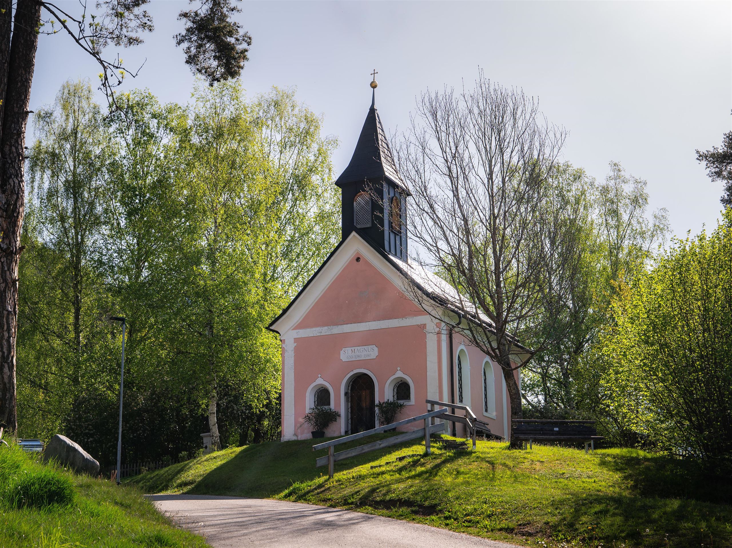
St. Magnus Kapelle
5.8 km away, in Reith bei Seefeld
A chapel dedicated to St Magnus in Reith bei Seefeld, a quiet devotional site at 1,130 m on the southern Seefeld plateau.
 Historic site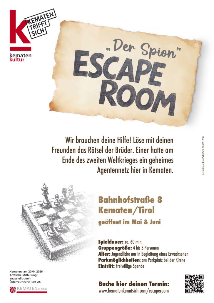
Nothing of this kind in Kematen in Tirol.
Routes
11 from neighbouring places
Melachpromenade
Flat riverside promenade along the Melach at Kematen, an easy stroll on even paths — suitable for prams and an after-lunch leg stretch.
- 3.5 km
- Distance
- 34 m
- Ascent
- 54 min
- Duration
Von Innsbruck nach Kühtai
A long road ride out of the Inn valley, climbing to the saddle at 2,017 m with the Dortmunder Hütte just below it.
- 106.6 km
- Distance
- 1 930 m
- Ascent
- 11 h 16 min
- Duration
- 86
- Check-ins
Wanderweg Zifres Omes
Easy round from Kematen over the hamlets of Zifres and Omes, gaining a modest rise onto the terrace with views along the Inntal.
- 5.4 km
- Distance
- 258 m
- Ascent
- 1 h 55 min
- Duration
Innsbruck - Mösern - Seefeld
A long road day from the Inn valley onto the plateau at Mösern, continuing through the Leutasch past the Seewaldalm and the Kreithalm.
- 88.7 km
- Distance
- 1 388 m
- Ascent
- 9 h 11 min
- Duration
- 34
- Check-ins
Innsbruck Hochplateau Ride
A demanding tour over the terraces above the Inn valley, taking in the Goldbichl and a string of mid-mountain farms and inns.
- 107.7 km
- Distance
- 2 530 m
- Ascent
- 11 h 57 min
- Duration
- 21
- Check-ins
Innsbruck - Lüsens
A long out-and-back from the Inn valley up the Sellraintal, past the Kaiser Ferdinand waterfalls to the Lüsener Alm at 1,631 m.
- 74.5 km
- Distance
- 1 654 m
- Ascent
- 8 h 10 min
- Duration
- 9
- Check-ins
Von Innsbruck aufs Mieminger Plateau und retour
An 80 km out-and-back from Innsbruck down the Inn past Kranebitten and Hatting, then up onto the Mieminger Plateau.
- 79.5 km
- Distance
- 774 m
- Ascent
- 7 h 47 min
- Duration
- 6
- Check-ins
Dörferrunde von Innsbruck nach Telfs
A village-to-village road tour down the Inn valley from Innsbruck to Telfs, past Kranebitten and the Schleicherplatten climbing crag.
- 68.3 km
- Distance
- 789 m
- Ascent
- 6 h 48 min
- Duration
- 4
- Check-ins
Innradweg
Ninety-seven kilometres of near-level cycle path along the Inn, from Mötz past Telfs and Innsbruck down to Rotholz.
- 86.9 km
- Distance
- 245 m
- Ascent
- 7 h 56 min
- Duration
- 2
- Check-ins
Nasses Tal (Route 34)
2.5 km away, in Götzens
A short ride out of Götzens past the Axams tourist office and up into the wooded side valley above the two villages.
- 11.7 km
- Distance
- 339 m
- Ascent
- 1 h 21 min
- Duration
Erkundungstour über die Dörfer
2.6 km away, in Birgitz
Rolling round through the mittelgebirge villages of Birgitz and Axams, with the Liftstüberl Birgitz as a refreshment stop along the way.
- 7.6 km
- Distance
- 189 m
- Ascent
- 2 h 15 min
- Duration
- 1
- Check-ins
Neue Magdeburger Hütte (50)
2.8 km away, in Zirl
Climb from Zirl past the Kirchbergalm to the Neue Magdeburger Hütte, more than 1,000 m up the Nordkette's western end.
- 12.4 km
- Distance
- 1 063 m
- Ascent
- 6 h 45 min
- Duration
- 7
- Check-ins
MTB-Tour Neue Magdeburger Hütte (543)
2.9 km away, in Zirl
A steady forest-road climb from the valley over the Kalvarienberg to the hut at 1,633 m, with the Jausenstation Brunntal partway up.
- 16.4 km
- Distance
- 1 035 m
- Ascent
- 2 h 41 min
- Duration
- 10
- Check-ins
Fließerwald - Oberbach (542)
3.8 km away, in Zirl
A forest-road climb above Zirl to the material-lift station below the Solsteinhaus, with the Schöne Aussicht viewpoint on the way up.
- 13.7 km
- Distance
- 766 m
- Ascent
- 2 h 3 min
- Duration
Rangger Köpfl 1.939 m
5.3 km away, in Oberperfuss
Evening classic above Oberperfuss climbing more than 1,000 m past Stieglreith to the Roßkogelhütte just below the summit; a bus line serves the lift base.
- 5.4 km
- Distance
- 1 091 m
- Ascent
- 1 091 m
- Descent
- 3 h 31 min
- Duration
- 29
- Check-ins
Birgitzer Alm - Birgitzköpflhaus Axamer Lizum
5.7 km away, in Birgitz
Steady ski tour on the Axamer Lizum side, climbing via the Hüttenboden to the hut perched on the Birgitzköpfl; skibus lines serve the starting point.
- 4.0 km
- Distance
- 696 m
- Ascent
- 696 m
- Descent
- 2 h 18 min
- Duration
- 32
- Check-ins
Biketour Nr. 588 Reith-Eigenhofen
7.3 km away, in Zirl
An almost flat link through the fields at Reith bei Seefeld, running past the Kalter See with next to no climbing.
- 5.7 km
- Distance
- 9 m
- Ascent
- 31 min
- Duration
- 2
- Check-ins
 Kalter See 859 m
 Informationsbüro Reith 1 123 m
Radweg Mutters-Natters-Innsbruck
8.3 km away, in Mutters
A short link on the cycle path between Mutters and Natters, running past the local tourist office on the way towards Innsbruck.
- 4.6 km
- Distance
- 153 m
- Ascent
- 33 min
- Duration
- 2
- Check-ins
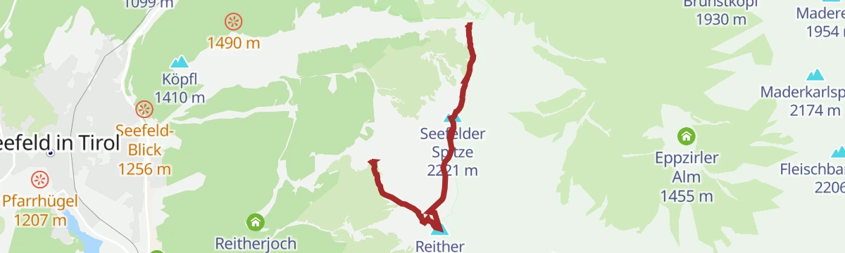
Haymon-Klettersteig (Reither Spitze 2.374 m)
8.3 km away, in Reith bei Seefeld
Via ferrata up the north flank of the Reither Spitze to the 2,374 m summit, with short climbing sections, traverses and exposed ground, started from the Seefelder Joch.
- 3.5 km
- Distance
- 452 m
- Ascent
- 3 h 24 min
- Duration
- 97
- Check-ins
Skitour - Vitalweg Patscherkofel
13.8 km away, in Patsch
Gentle designated ski-touring track on Innsbruck's Patscherkofel, climbing past the Patscher Alm and Hochmahdalm toward the Schutzhaus - well suited to first tours.
- 3.5 km
- Distance
- 315 m
- Ascent
- 315 m
- Descent
- 1 h 15 min
- Duration
- 46
- Check-ins




No routes of this kind in Kematen in Tirol yet.
Planning a trip to Kematen in Tirol?
Everything else Tyrol has, in one place


Take Kematen in Tirol with you into the mountains
Every route on this page with 3D terrain, GPX navigation and offline maps — including the valleys with no signal.
Data sources
- Official website: innsbruck.info ↗
- Routes and highlights: Innsbruck Tourismus, Region Seefeld
- Published as open data by the tourist boards named above.
- Region summary generated from the board's own material.
