
 Mountain hut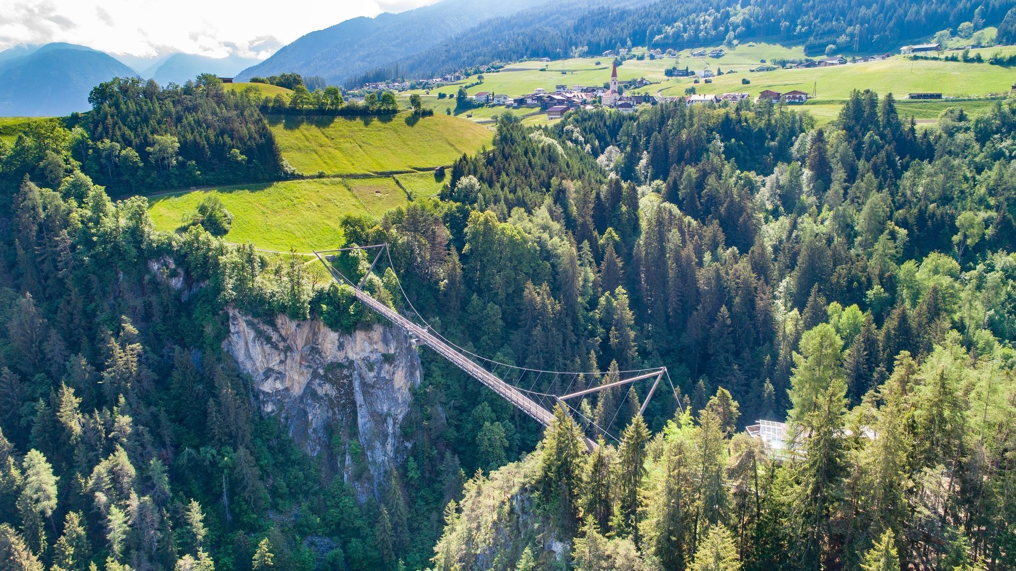
 Viewpoint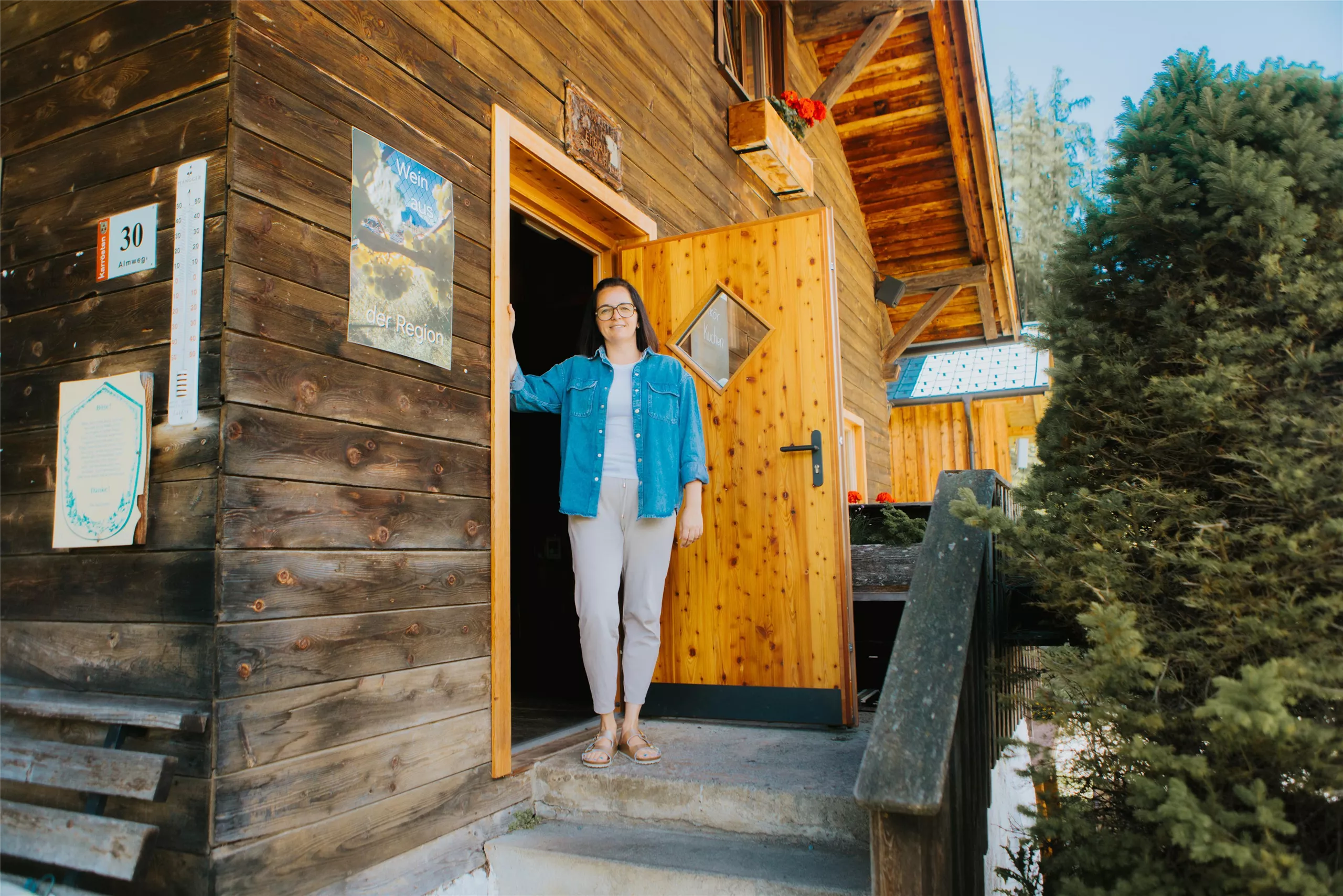
 Historic site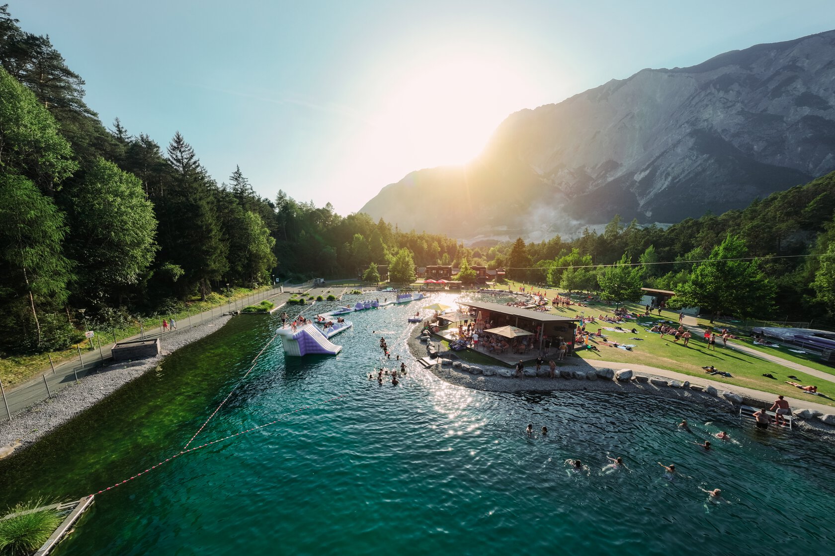





- 1Highlights
- 16Routes
- Featured summit · Tschirgant
Highlights
14 from neighbouring places
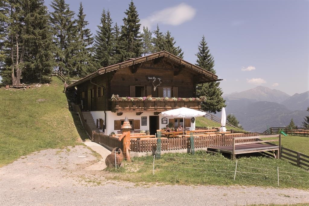
Karrer Alm
A managed pasture hut in the mountains above Karres in the Imst region, a simple refreshment stop on walks along the Inn valley's sunny side.
Benni-Raich Brücke
2.4 km away, in Arzl im Pitztal
A footbridge of 1995 spanning 137.7 m at a height of 94 m over the Pitze gorge, used for bungee jumping since 1997.
Karröster Alm
2.5 km away, in Karrösten
An alpine pasture above the village of Karrösten in the Imst region, serving walkers on the lower slopes of the Tschirgant.
Expositurkirche zum Hl. Thomas in Arzl Wald
2.5 km away, in Arzl im Pitztal
The church of St Thomas serving the Wald hamlet above Arzl.
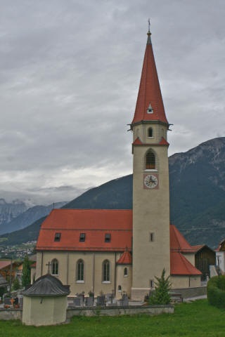
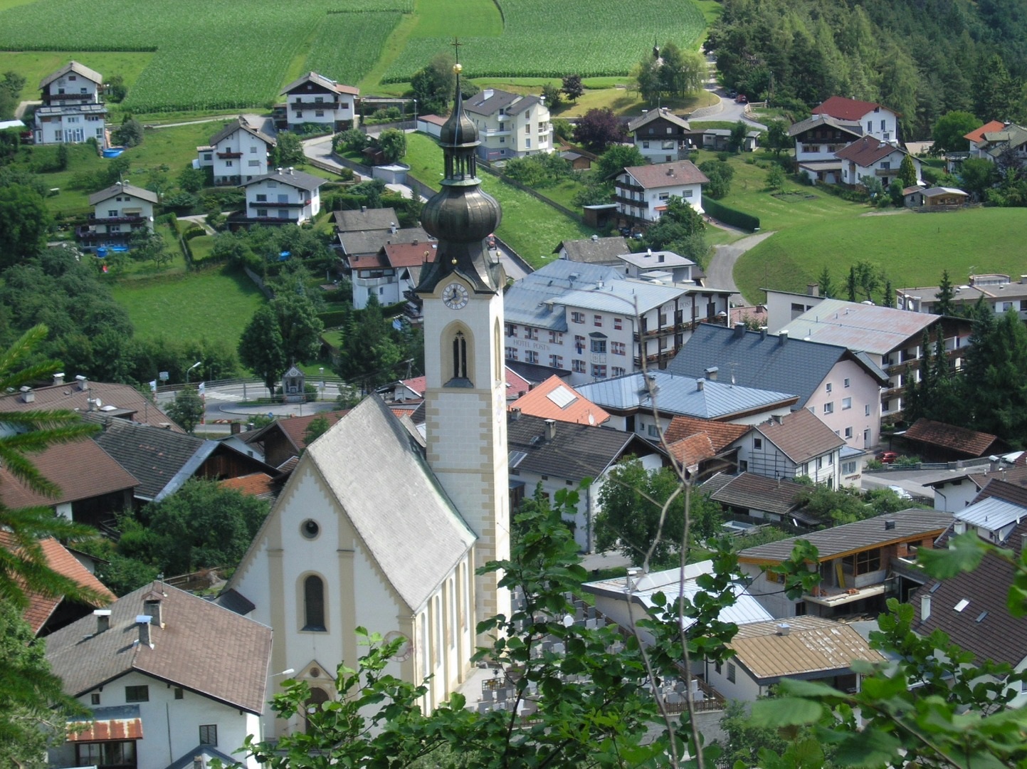
Pfarrkirche zu den Hl. Ingenuin und Albuin in Arzl Dorf
2.8 km away, in Arzl im Pitztal
The parish church of Arzl, dedicated to the Bishops Ingenuin and Albuin.
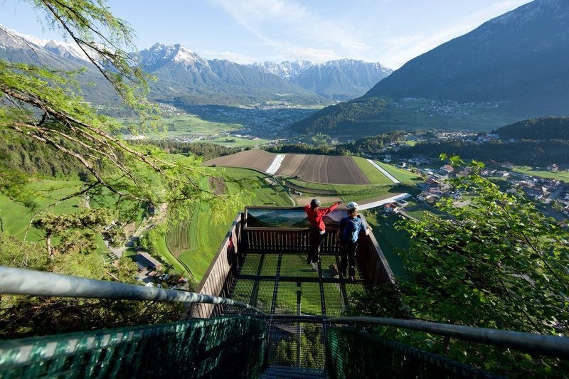
Aussichtsplattform Adlerhorst
3.1 km away, in Arzl im Pitztal
A viewing platform above Arzl, cantilevered over the slope with a view down the Inn valley.
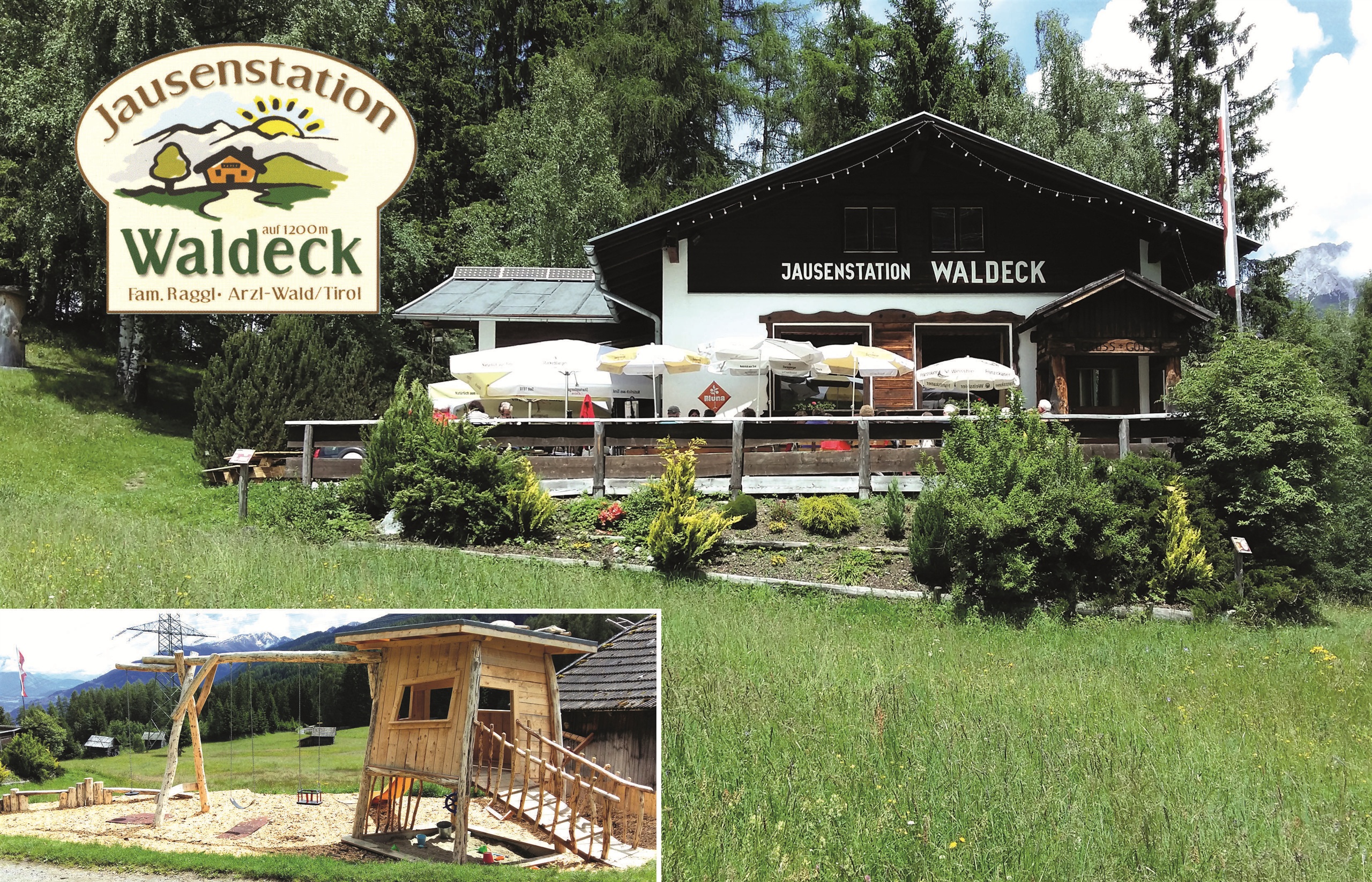
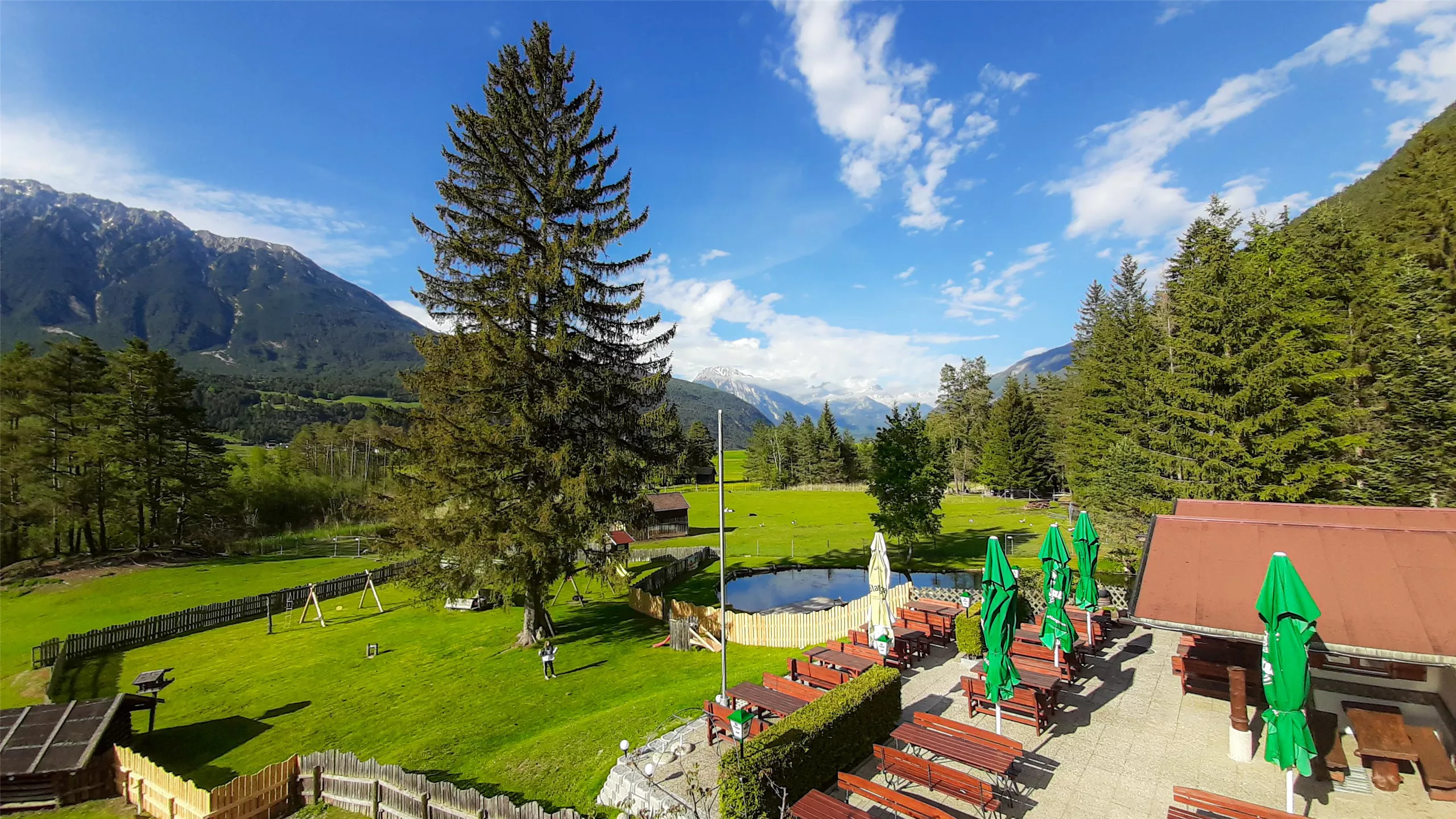
Jausenstation Waldeck (1.200 m)
3.3 km away, in Arzl im Pitztal
A snack station at 1,200 m on the wooded slope above Arzl.
Knappenwelt Gurgltal
3.6 km away, in Tarrenz
An open-air museum at Tarrenz reconstructing the medieval mining and ore-processing works of the Gurgltal miners.
Happis Hütte
3.7 km away, in Tarrenz
A hut above Tarrenz in the Imst region, reachable by bike, with a sun terrace and a menu that runs to ice cream and cakes.
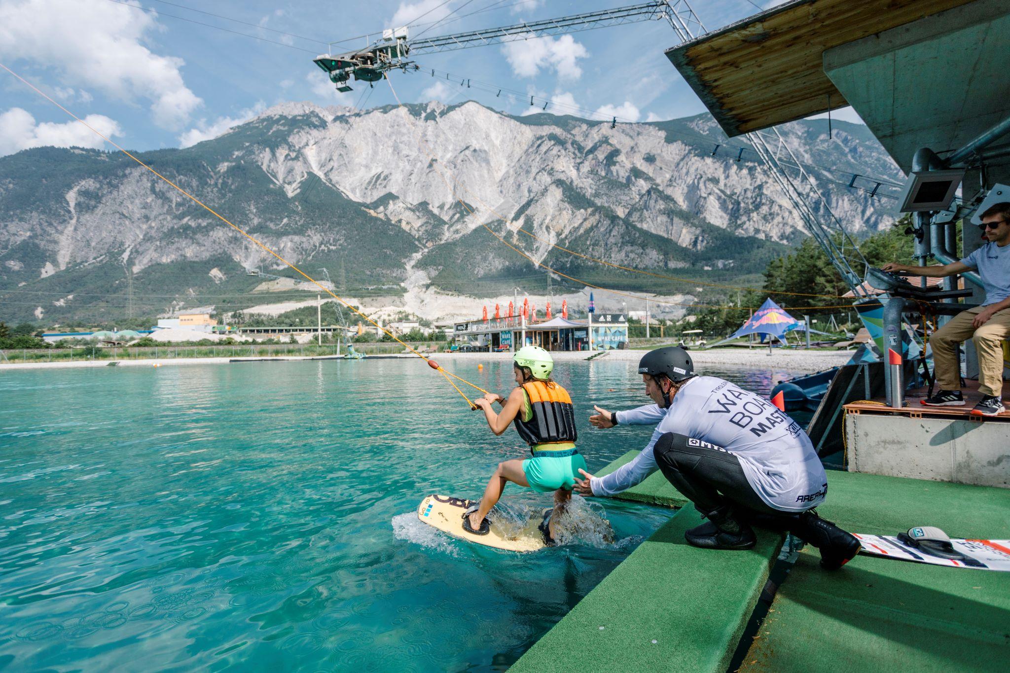
AREA 47 - Wake AREA
4.2 km away, in Roppen
A 420 m cable wakeboard tow on a five-mast system, with a set of shaped obstacles, at the AREA 47 site.
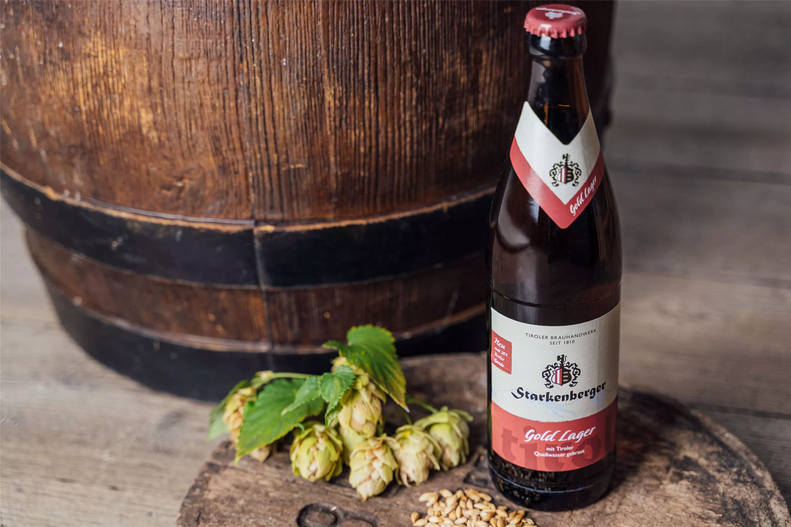
Brauerei Schloß Starkenberg / Biermythos
4.5 km away, in Tarrenz
A brewery in Starkenberg castle at Tarrenz, where the Biermythos tour covers Tyrolean brewing history and offers tastings.
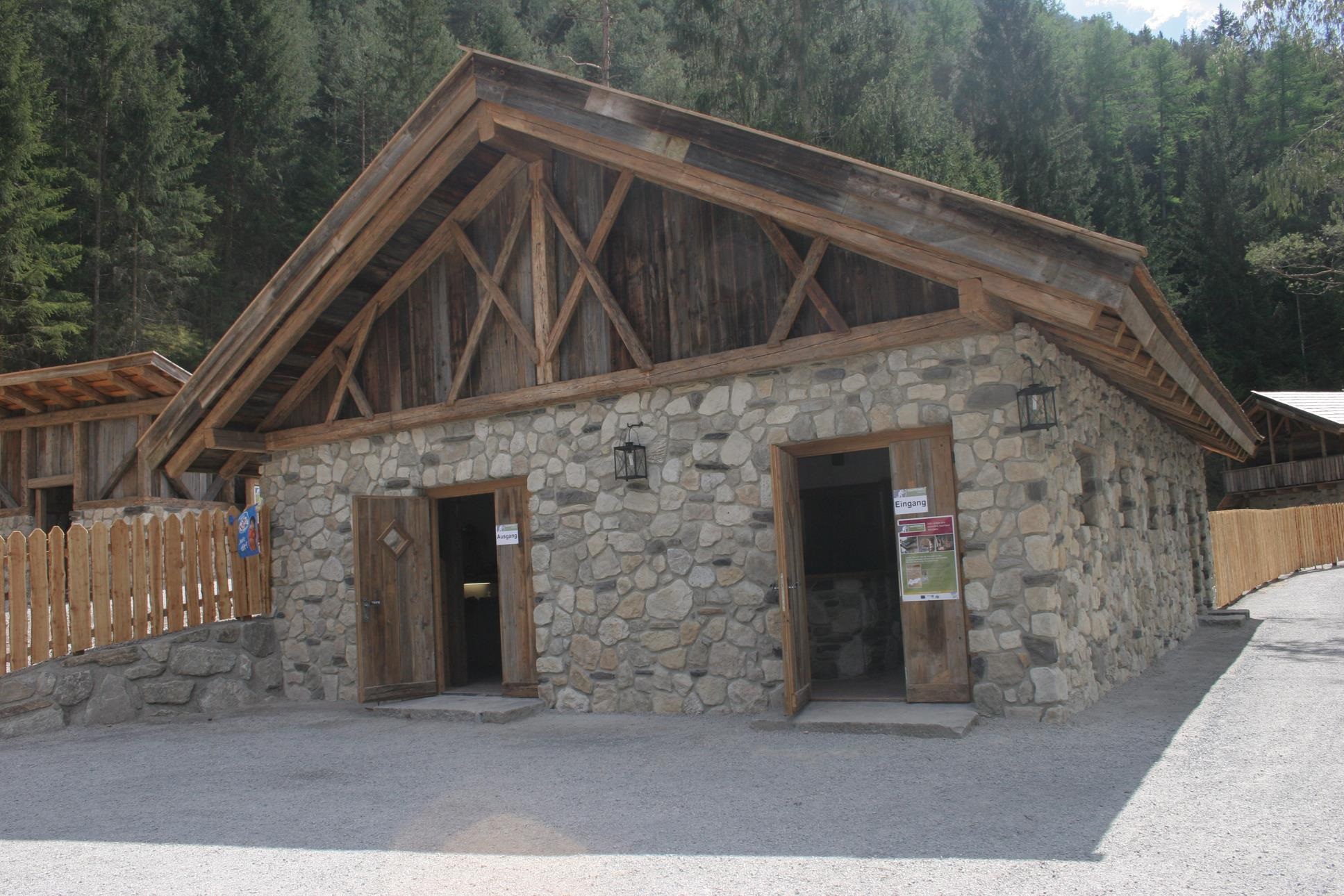
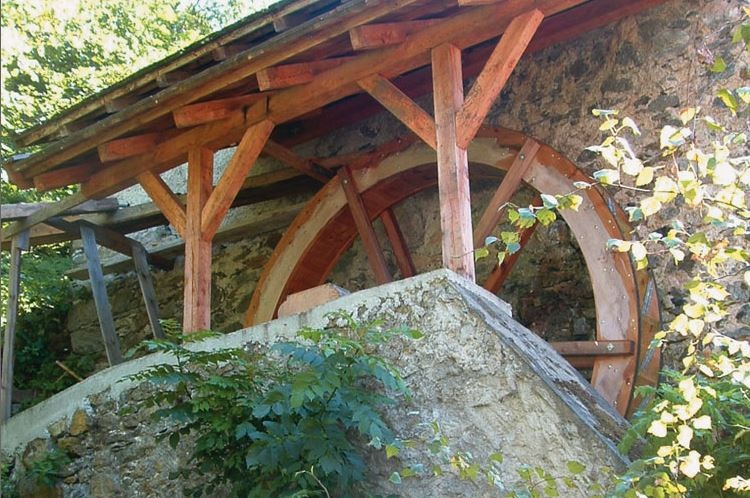
Getreidemühle im Weiler Arzl-Ried
4.6 km away, in Arzl im Pitztal
A restored grain mill in the hamlet of Ried above Arzl, still turned by its own water channel.
AREA 47
4.6 km away, in Haiming
An outdoor activity park at the mouth of the Ötztal with around 40 summer sports, from rafting and canyoning to a cable water park.
AREA47 - Indoor Bikepark
4.6 km away, in Haiming
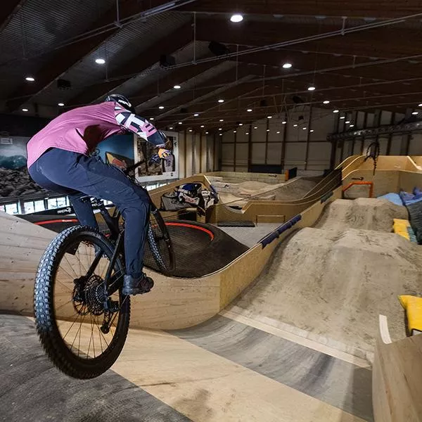
An indoor bike park at AREA47 near Ötztal-Bahnhof, with ramps and lines for riding practice in any weather and any season.
AREA47 - Water Area
4.6 km away, in Haiming
The water sports section of AREA47 at the mouth of the Ötztal, with slides, jumps and a bathing lake laid out for summer visitors.
Nothing of this kind in Karres.
Routes
Höhenweg Karrösten / Karres
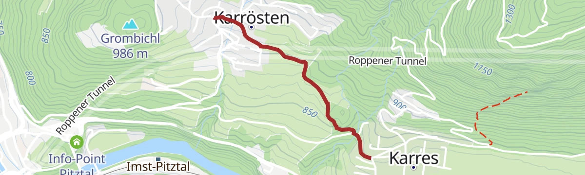
An easy 6.7 km high path from Karrösten across to Karres, with 335 m of climbing.
- 6.6 km
- Distance
- 337 m
- Ascent
- 2 h 27 min
- Duration
Tschirgant (Karröster Alm)
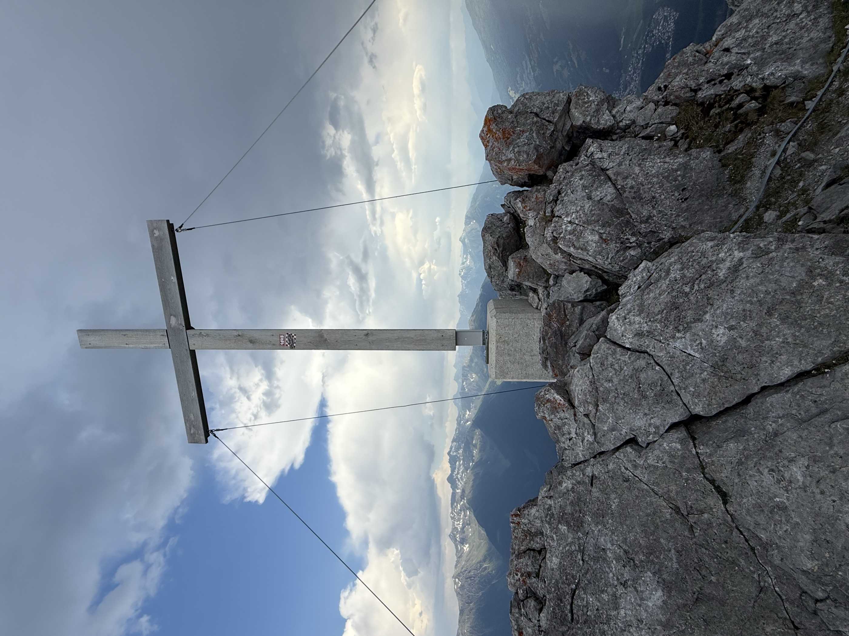
From the Karröster Alm a flowery ridge line leads up to the Tschirgant, 887 m of ascent over 8.4 km.
- 8.4 km
- Distance
- 920 m
- Ascent
- 5 h 34 min
- Duration
- 19
- Check-ins
Tschirgant Überschreitung Karrösten
A full traverse of the Tschirgant from Karrösten, 16.1 km and 1,388 m of ascent by way of the Bergwachthütte and both alms.
- 16.1 km
- Distance
- 1 388 m
- Ascent
- 8 h 48 min
- Duration
- 22
- Check-ins
Karrer Alm (Nr. 632)
A steep waymarked forest road out of the Inn valley at Karres, gaining 780 m in under 6 km to the alm at 1,613 m.
- 5.6 km
- Distance
- 774 m
- Ascent
- 1 h 10 min
- Duration
- 3
- Check-ins
Gravelrunde Piburger See
A long gravel ride down the Inn valley from Imst to the Piburger See, with the Seehäusl and Seerestaurant at the lake before the return.
- 60.8 km
- Distance
- 1 136 m
- Ascent
- 6 h 28 min
- Duration
- 15
- Check-ins
Rundtour von Ötztal-Bahnhof über Imst und Haiming
A 34.8 km round from Ötztal-Bahnhof on the Inn cycle path through Roppen and the Imst gorge and back by Haiming, 477 m of climbing.
- 29.8 km
- Distance
- 309 m
- Ascent
- 2 h 56 min
- Duration
Open route ÖtztalKarres - Roppen
An easy 5.6 km valley walk from Karres to Roppen, with barely 100 m of climbing.
- 5.6 km
- Distance
- 43 m
- Ascent
- 1 h 32 min
- Duration
Karröster Alm - Karrer Alm
A high link of 5.6 km between the Karröster Alm and the Karrer Alm, with 772 m of ascent.
- 5.6 km
- Distance
- 773 m
- Ascent
- 4 h 14 min
- Duration
- 10
- Check-ins
Auf den Tschirgant über die Bergwachthütte
A 1,300 m ascent of the Tschirgant by way of the Bergwachthütte and the Karröster Alm, 13.6 km in all.
- 13.6 km
- Distance
- 1 331 m
- Ascent
- 8 h 14 min
- Duration
- 19
- Check-ins
Imster Radmarathon | Panoramarunde (Jubiläum)
A long tour out of Imst over the Holzleitensattel at 1,119 m, looping back down the Inn valley past the mouth of the Pitztal.
- 79.5 km
- Distance
- 727 m
- Ascent
- 7 h 45 min
- Duration
- 14
- Check-ins
Karres-Karrösten Runde
An easy 5.1 km round between the villages of Karres and Karrösten at the foot of the Tschirgant.
- 5.1 km
- Distance
- 103 m
- Ascent
- 1 h 22 min
- Duration
Jakobsweg
Stage 11 of the Way of St James through Tirol, 27.6 km from Roppen down the Inn valley to Zams, passing the Gasthof Kronburg.
- 27.6 km
- Distance
- 975 m
- Ascent
- 8 h 49 min
- Duration
- 7
- Check-ins
Tschirgantrunde mit dem Rennrad
A round of the Tschirgant crossing the Holzleitensattel at 1,119 m, with the return along the floor of the Inn valley.
- 51.8 km
- Distance
- 683 m
- Ascent
- 5 h 14 min
- Duration
- 12
- Check-ins
Karrösten - Karres
A level 1.2 km link between Karrösten and Karres, walked in a few minutes.
- 1.2 km
- Distance
- 0 m
- Ascent
- 22 min
- Duration
Karrer Alm / Tschirgant
1,553 m of ascent from Karres by way of the Karrer Alm to the Tschirgant, a demanding day for the height gained.
- 8.9 km
- Distance
- 1 434 m
- Ascent
- 5 h 33 min
- Duration
- 3
- Check-ins
Rundtour von Ötztal-Bahnhof über Imst und Haiming
A valley circuit on tracks and back roads between the stations at Roppen, Imst-Pitztal and the Ötztal, with little serious climbing.
- 29.8 km
- Distance
- 326 m
- Ascent
- 2 h 58 min
- Duration
- 6
- Check-ins
No routes of this kind in Karres yet.
The region's own picks

Featured route
Höhenweg Karrösten / Karres
An easy 6.7 km high path from Karrösten across to Karres, with 335 m of climbing.
Planning a trip to Karres?
Everything else Tyrol has, in one place


Take Karres with you into the mountains
Every route on this page with 3D terrain, GPX navigation and offline maps — including the valleys with no signal.
Data sources
- Official website: imst.at ↗
- Routes and highlights: Imst Tourismus, Tourismusverband Pitztal, Ötztal Tourismus, Ötztal
- Published as open data by the tourist boards named above.
- Region summary generated from the board's own material.
