
 Historic site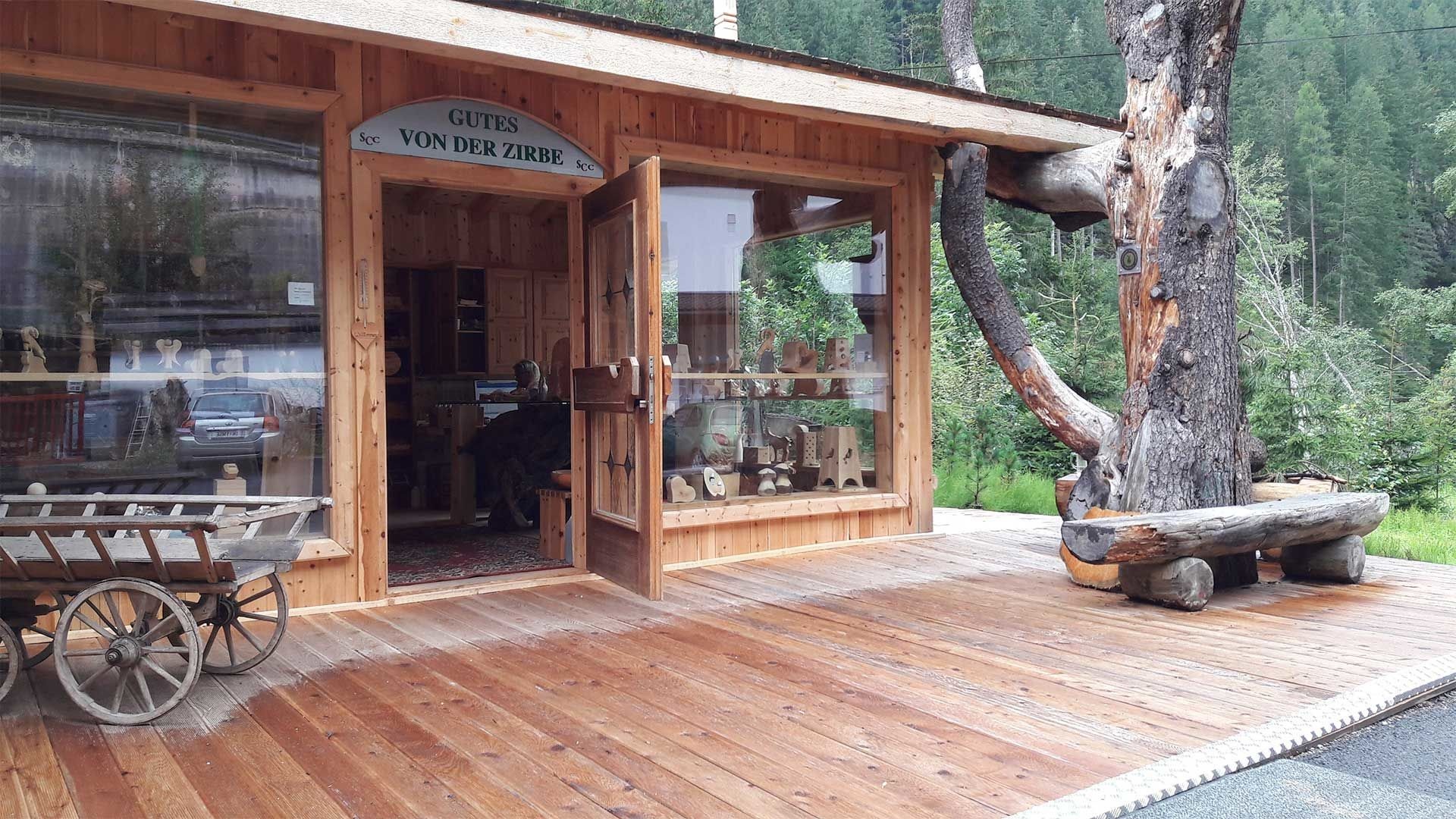

















Curated by Tourismusverband Pitztal
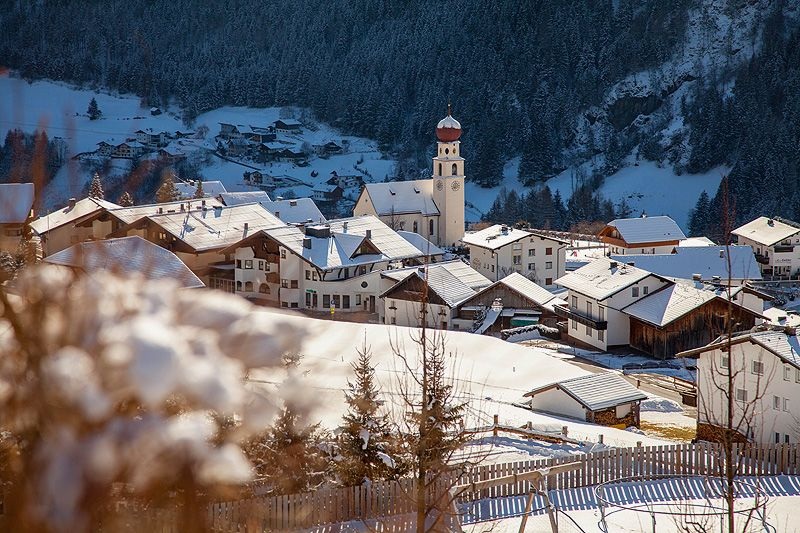
Jerzens
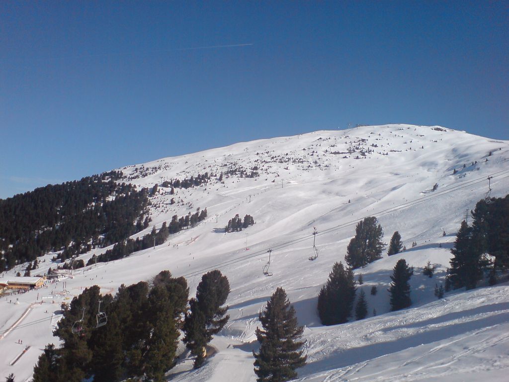
Perched on the sunny east flank of the front Pitztal at 1,100 m, base of the Hochzeiger lifts and a village that has made the Zirbe stone pine its trademark.
- 12Highlights
- 59Routes
- Featured summit · Hochzeiger
Highlights
3 from neighbouring places
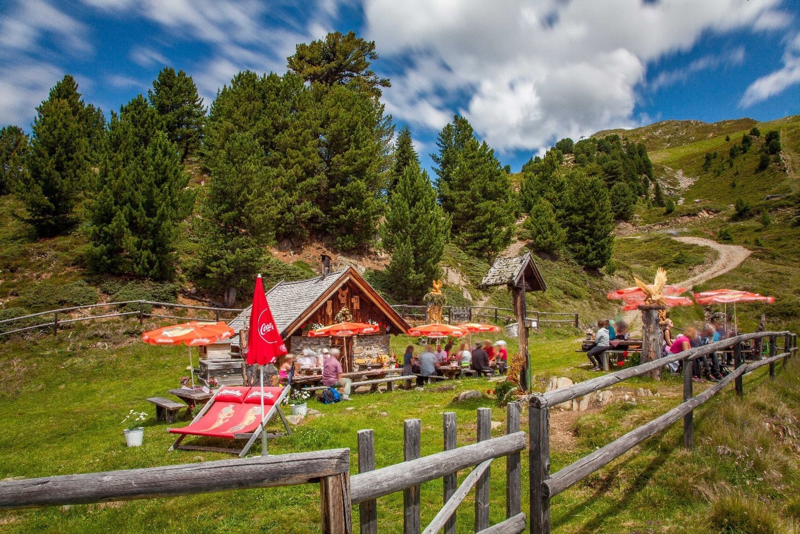
Kalbenalm (2.117 m)
An alpine pasture at 2,117 m on the Hochzeiger side above Jerzens.
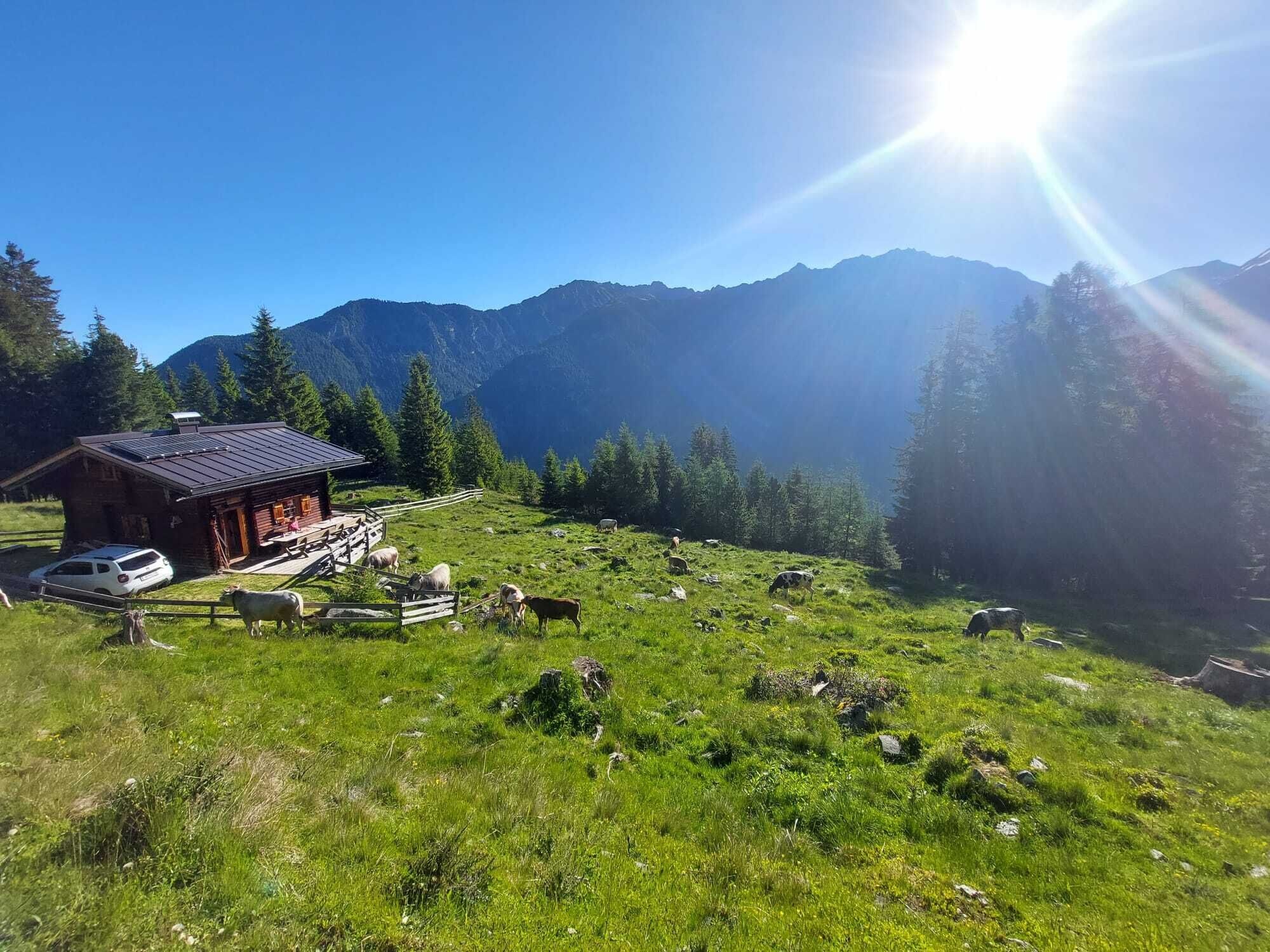
Ritzenrieder Alm (1.790 m)
An alpine pasture at 1,790 m above the hamlet of Ritzenried.
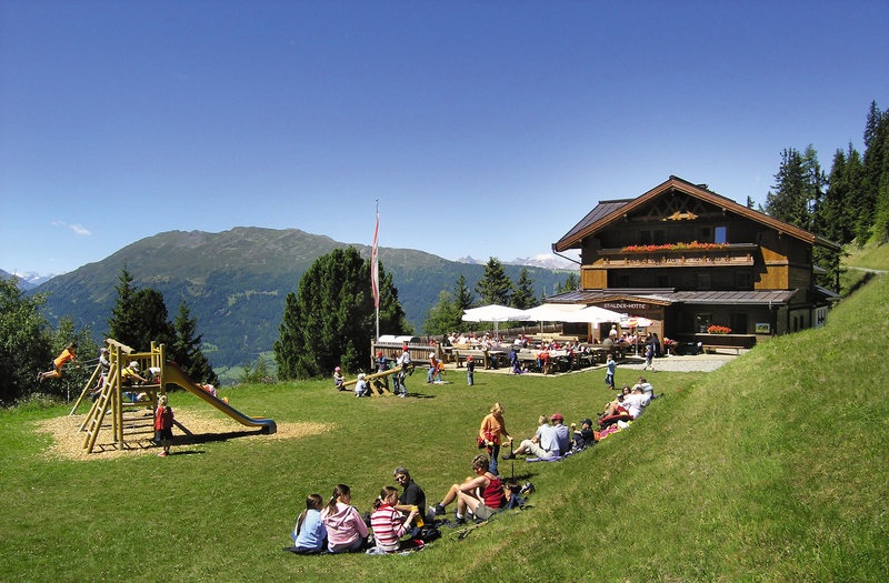
Stalderhütte (1.820 m)
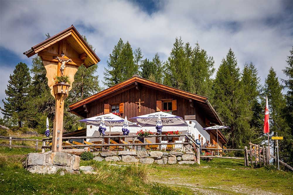
A hut at 1,820 m on the Hochzeiger slopes above Jerzens.
Straßberg Alm (1.730 m)
An alpine pasture at 1,730 m on the western slope of the middle Pitztal.
Tanzalm (1.980 m)
An alpine pasture at 1,980 m on the Hochzeiger, above the Jerzens lifts.
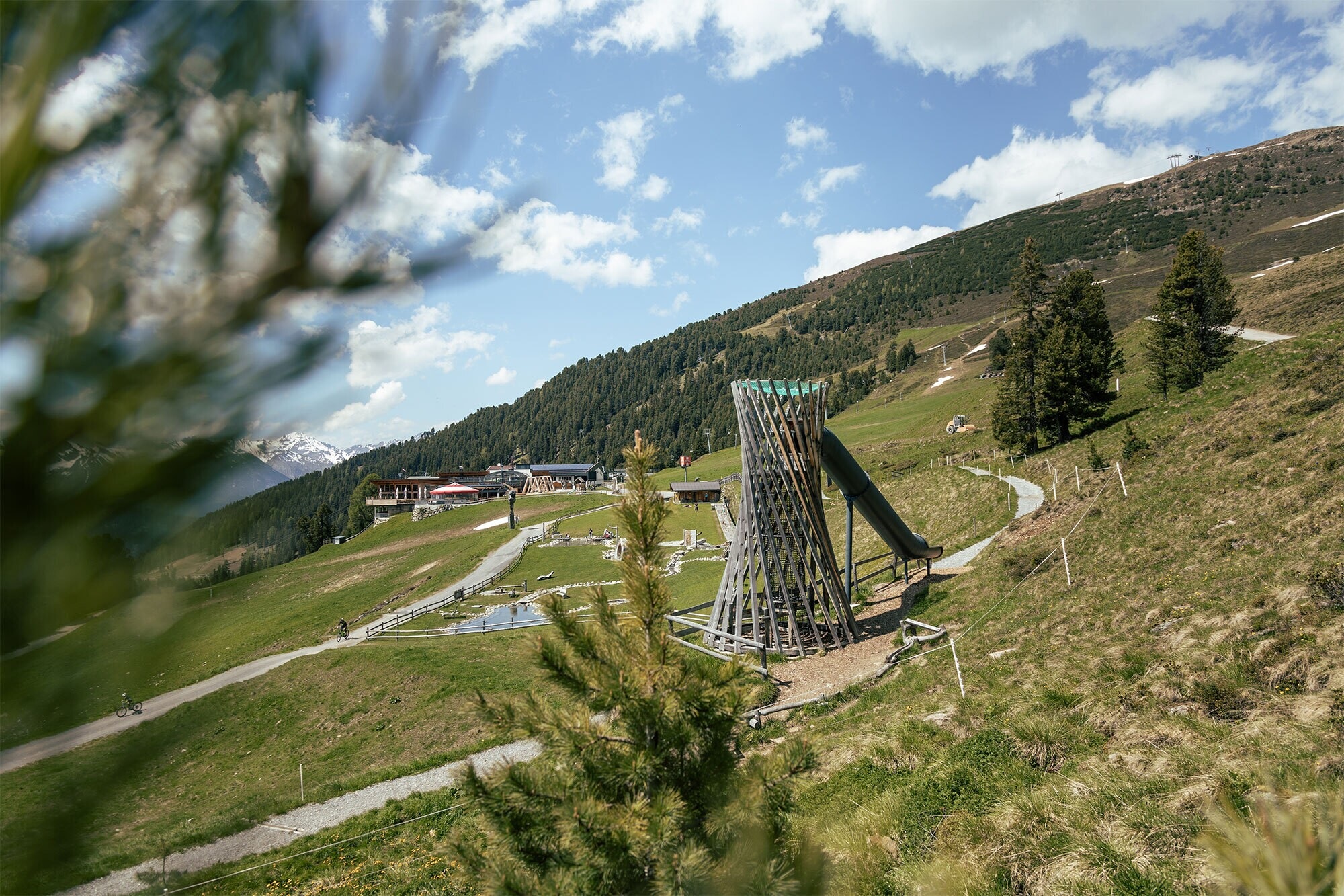
ZirbenPark
A one-kilometre themed loop at the Hochzeiger built around the stone pine, with play and interpretive stations.
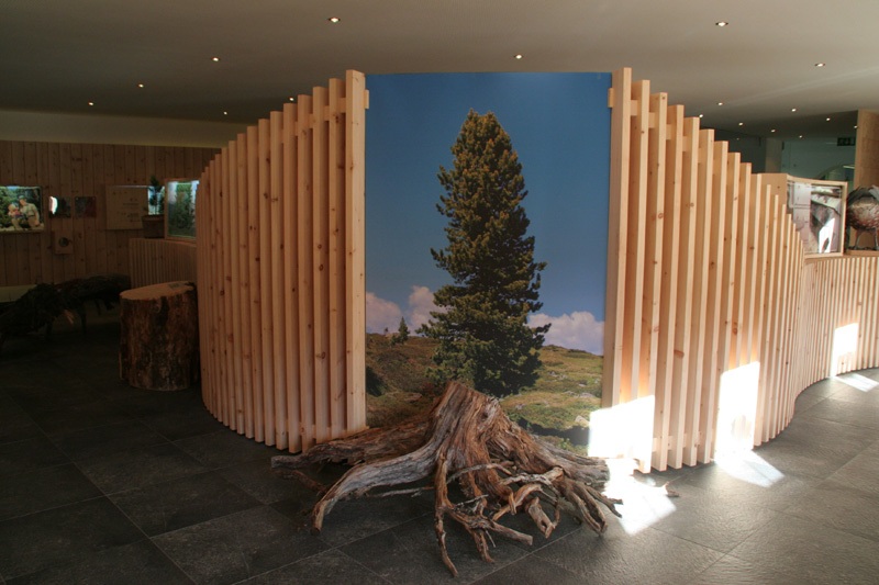
Zirbenausstellung
An exhibition at Jerzens on the stone pine — its timber, its oil and its role in the high forests here.
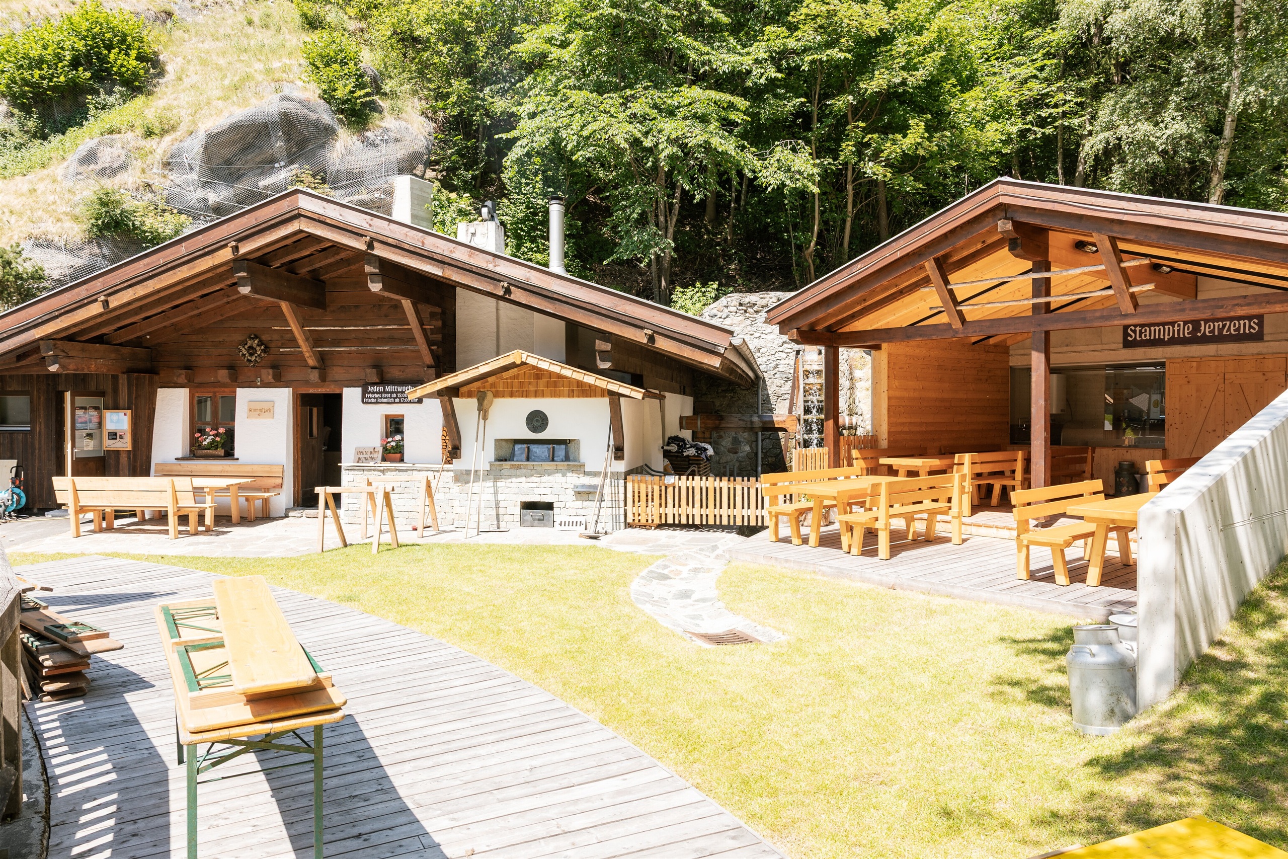
Mühle Stampfle in Jerzens
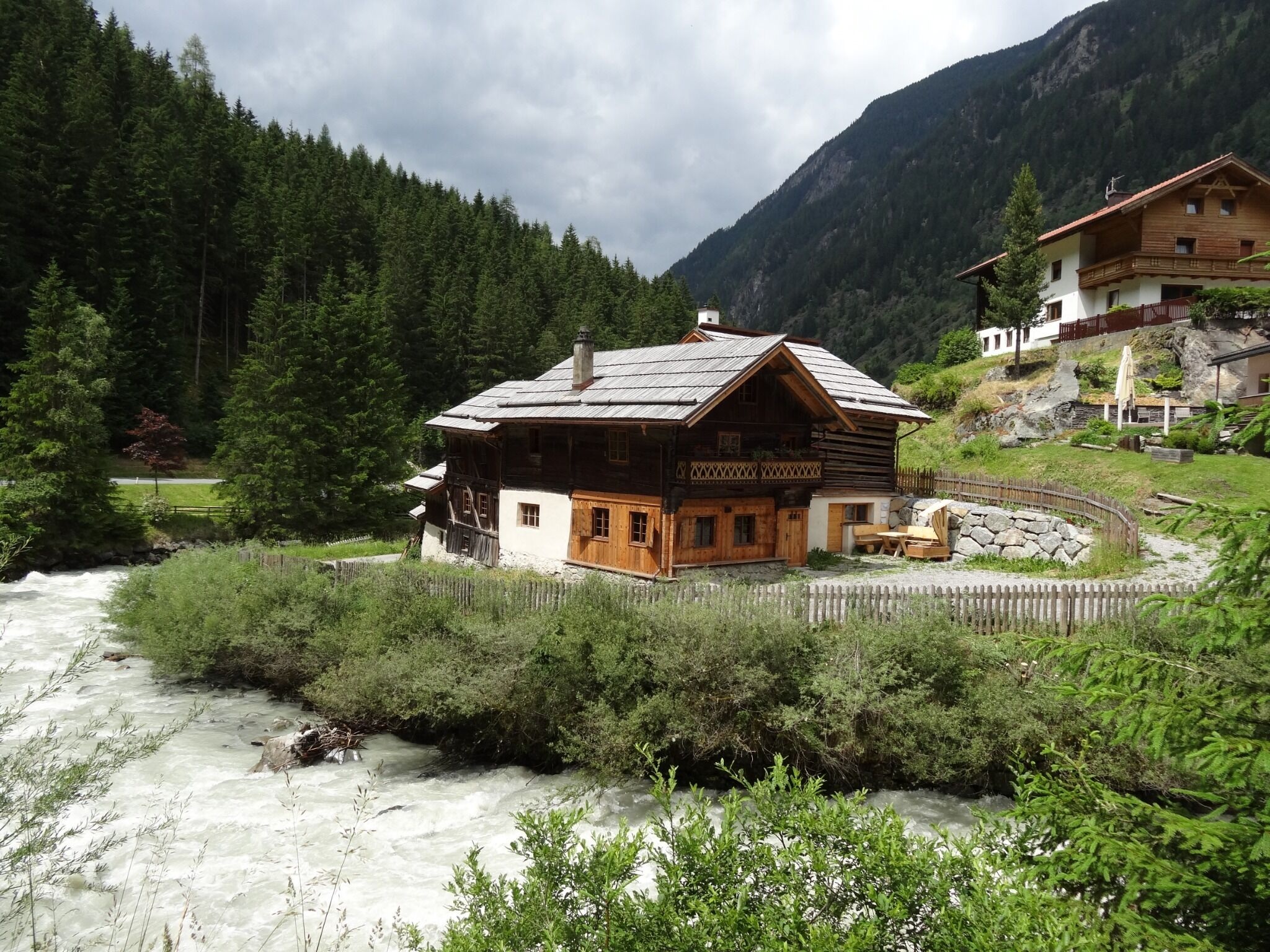
A mill at Jerzens first recorded in 1582 and since restored, known locally as the Stampfle.
Zirbenölgewinnung
A small distillery above Jerzens where oil is pressed from the cones of the stone pine.
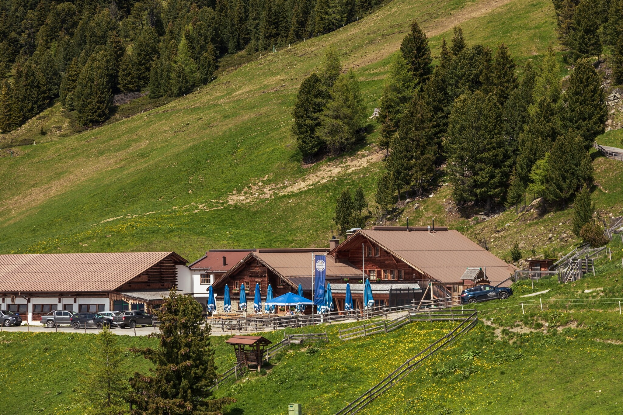
Hochzeiger Haus (1.829 m)
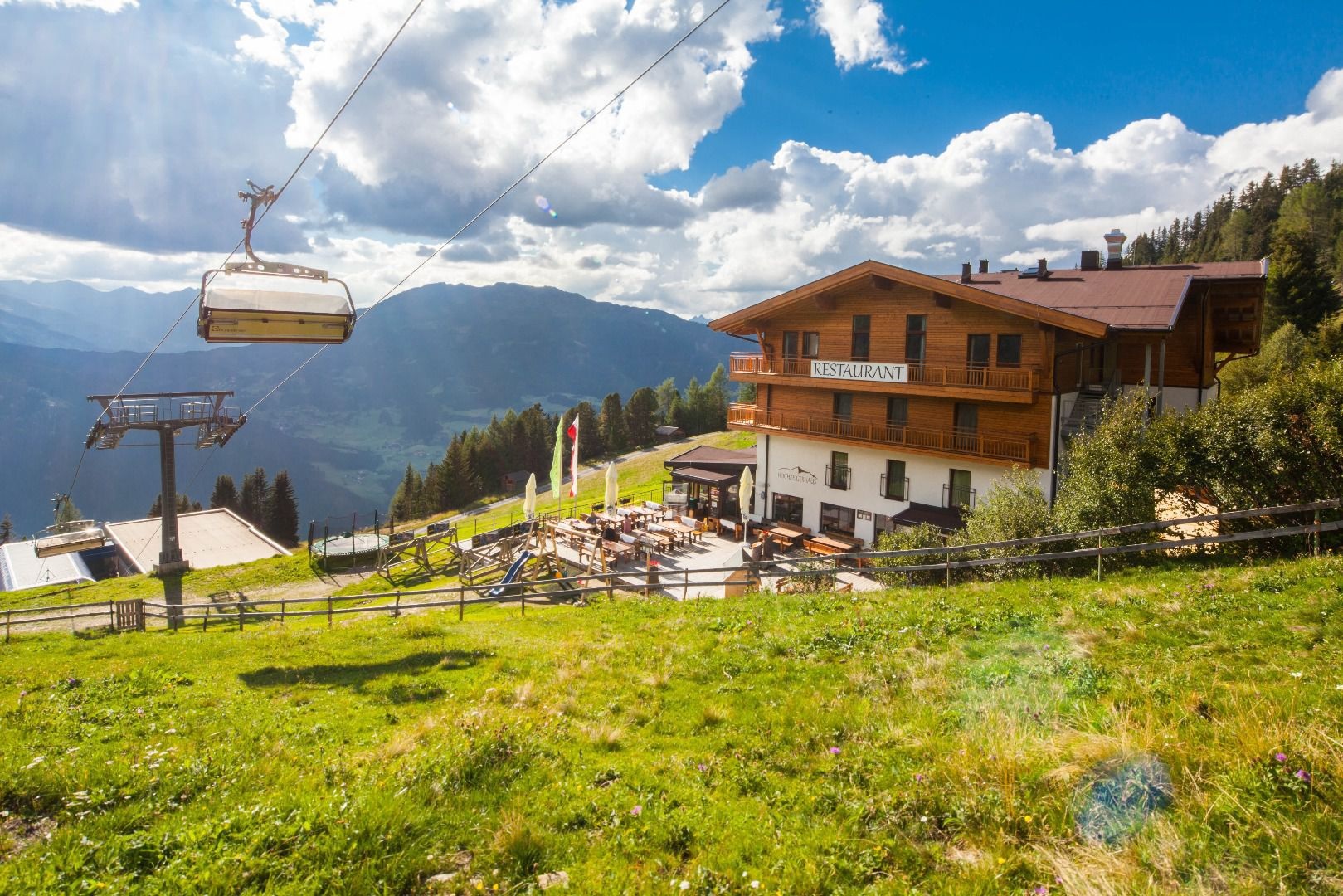
A mountain restaurant at 1,829 m at the Hochzeiger mid-station above Jerzens.
Bichlkapelle
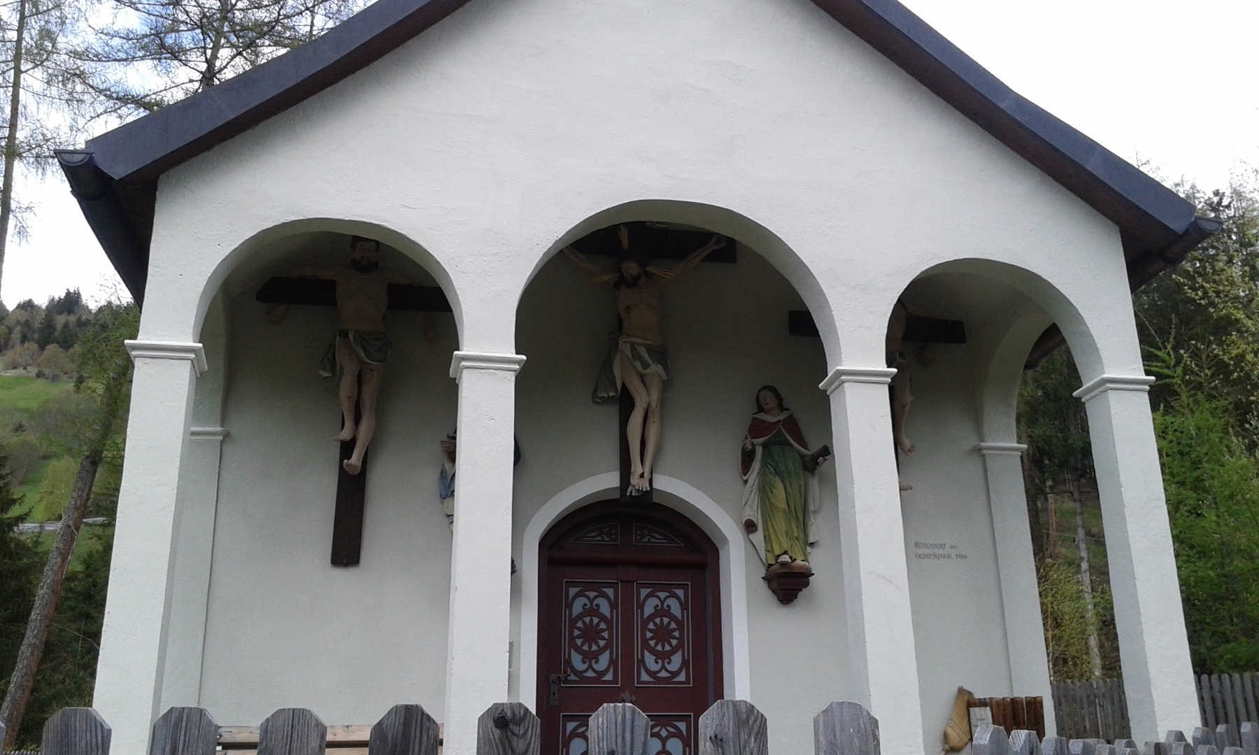
A small hill chapel above Jerzens, on the path between the village and its outlying farms.
Pfarrkirche zum Hl. Gotthard Jerzens
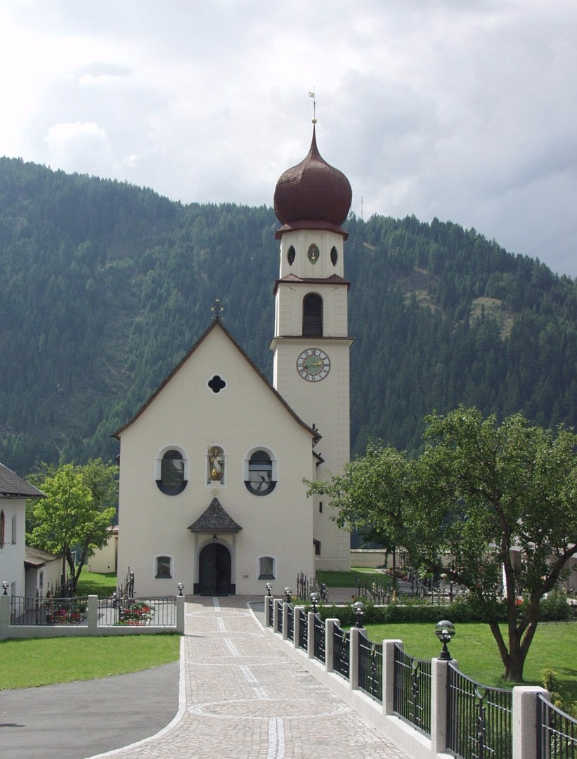
The parish church of Jerzens, dedicated to St Gotthard.
Handwerksmühle Ritzenried
2 km away, in St. Leonhard im Pitztal
A working craft mill at Ritzenried, one of several restored water mills on the valley's eastern slope.
Hintere Wennerberg Alm (1.956 m)
3.4 km away, in Roppen
The upper of the two Wennerberg pastures, at 1,956 m on the eastern flank of the valley.
Söllbergalm (1.849 m)
3.4 km away, in St. Leonhard im Pitztal
An alpine pasture at 1,849 m above Ritzenried, on the eastern flank of the valley.
Nothing of this kind in Jerzens.
Routes
50 routes, an even mix of activities · see the rest on pitztal.com ↗
Klettersteig Liss
A steel-cable climbing line at the Hochzeiger near the Liss Schirmbar, one of several secured routes above Jerzens; with the valley approach included it becomes a long day, so most pair it with the lifts.
- 12.1 km
- Distance
- 1 380 m
- Ascent
- 9 h 5 min
- Duration
- 42
- Check-ins
Bergstation Doppelsesselbahn - Hochzeiger - Mittelstation
A downhill-friendly ridge walk from the top of the Hochzeiger lifts over the summit and the Niederjöchl, descending past the Zeigerrestaurant to the mid-station — big views for modest effort.
- 4.7 km
- Distance
- 239 m
- Ascent
- 2 h 22 min
- Duration
- 34
- Check-ins
Almenwanderung am Hochzeiger
A rolling alm-to-alm round in the Hochzeiger walking area, linking the Tanzalm, Kalbenalm and the huts near the mid-station with little climbing between refreshment stops.
- 8.3 km
- Distance
- 262 m
- Ascent
- 3 h 19 min
- Duration
- 41
- Check-ins
Mittelstation - Kreuzjöchlspitz zum Schafhimmel – Ludwigsburger Hütte - Zaunhof
A long ridge day from the Hochzeiger mid-station over the Kreuzjöchlspitze to the Schafhimmel, dropping past the Lehnerjoch and the Grosssee to the Ludwigsburger Hütte and down to Zaunhof.
- 15.3 km
- Distance
- 1 059 m
- Ascent
- 8 h 33 min
- Duration
- 32
- Check-ins
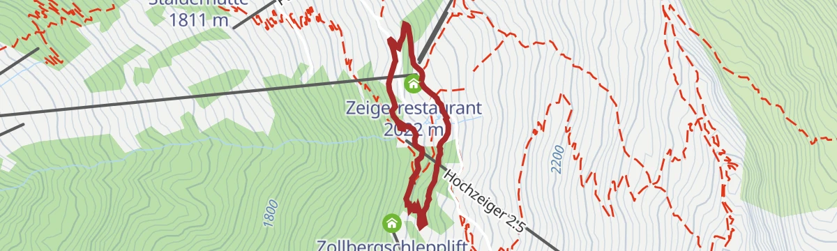
Einsteiger-Route
A first taste of ski touring at the Hochzeiger: a short, gentle skin up to the Zeigerrestaurant — made for testing gear and technique before attempting the longer marked routes.
- 982 m
- Distance
- 121 m
- Ascent
- 0 m
- Descent
- 23 min
- Duration
- 8
- Check-ins
Mittelstation Route - rot
The red-graded ski-touring ascent at the Hochzeiger, climbing alongside the ski area past the Tanzalm toward the Zeigerrestaurant — the logical step up from the beginner route.
- 2.7 km
- Distance
- 543 m
- Ascent
- 0 m
- Descent
- 1 h 30 min
- Duration
- 21
- Check-ins
Rookie-Parcour – Übungsgelände
A short practice loop by the Hochzeiger lifts at Jerzens, laid out for riders learning the basics before heading onto the trails.
- 278 m
- Distance
- 0 m
- Ascent
- 2 min
- Duration
6061 | Steinbock Trail
A lift-served singletrack in the Hochzeiger area above Arzl, running between the top station at nearly 2,500 m and the Zeiger restaurant.
- 10.3 km
- Distance
- 453 m
- Ascent
- 1 h 37 min
- Duration
- 8
- Check-ins
Graveltour Pitztal Panorama
A long, low-gradient tour along the Pitztal between Arzl and St. Leonhard, with barely 300 m of climbing spread over 40 km.
- 40.2 km
- Distance
- 1 287 m
- Ascent
- 4 h 25 min
- Duration
- 40
- Check-ins
Rundwanderung zur Kalbenalm und Tanzalm
A short family loop from the Hochzeiger mid-station taking in the Kalbenalm and Tanzalm — two easy hut stops within about an hour of gentle walking.
- 3.2 km
- Distance
- 179 m
- Ascent
- 1 h 16 min
- Duration
- 26
- Check-ins
Herbstwanderung am Hochzeiger
An autumn round through the Hochzeiger alm belt when the larches colour: the Tanzalm, Kalbenalm and the huts near the mid-station strung along a moderate, mostly gentle circuit.
- 8.3 km
- Distance
- 281 m
- Ascent
- 3 h 26 min
- Duration
- 41
- Check-ins
Mittelstation - Gemeindekopf - Tiroler Jubiläumsweg - Zaunhof
From the Hochzeiger mid-station over the Hoher Gemeindekopf, then along the Tiroler Jubiläumsweg past the Kugleter See and the Ludwigsburger Hütte before the long descent to Zaunhof.
- 12.7 km
- Distance
- 928 m
- Ascent
- 7 h 28 min
- Duration
- 30
- Check-ins
 Hochzeiger 2 561 m
- Hoher Gemeindekopf 2 771 m
 Zeigerrestaurant 2 022 m
- Ludwigsburger Hütte 1 935 m
 Kugleter See 2 590 m
- Grosssee 2 416 m
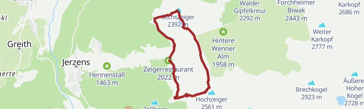
Sechszeiger Route - schwarz
The black-graded ski-touring ascent at the Hochzeiger, taking the steep line toward the Sechszeiger — the stiffest of the area's marked routes, gaining nearly 900 m.
- 3.8 km
- Distance
- 875 m
- Ascent
- 0 m
- Descent
- 2 h 20 min
- Duration
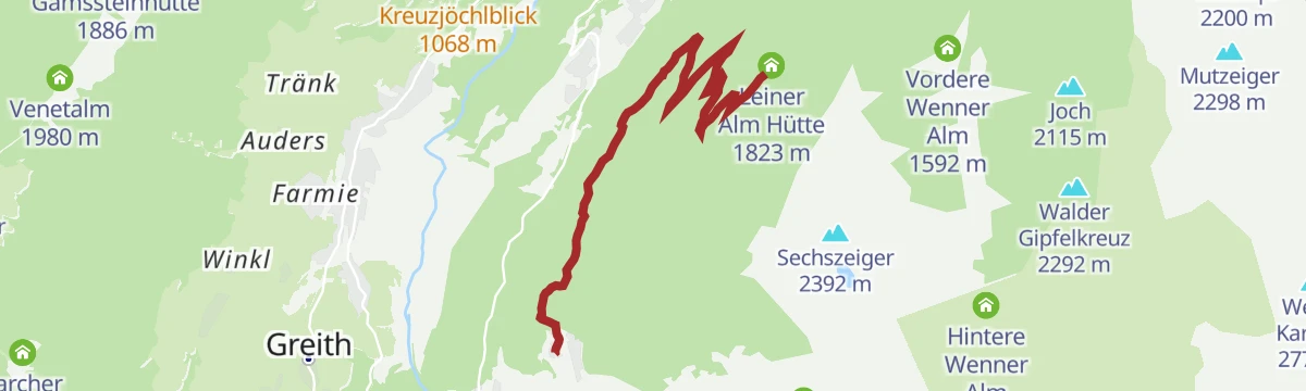
Kaitanger - Leiner Alm 6019
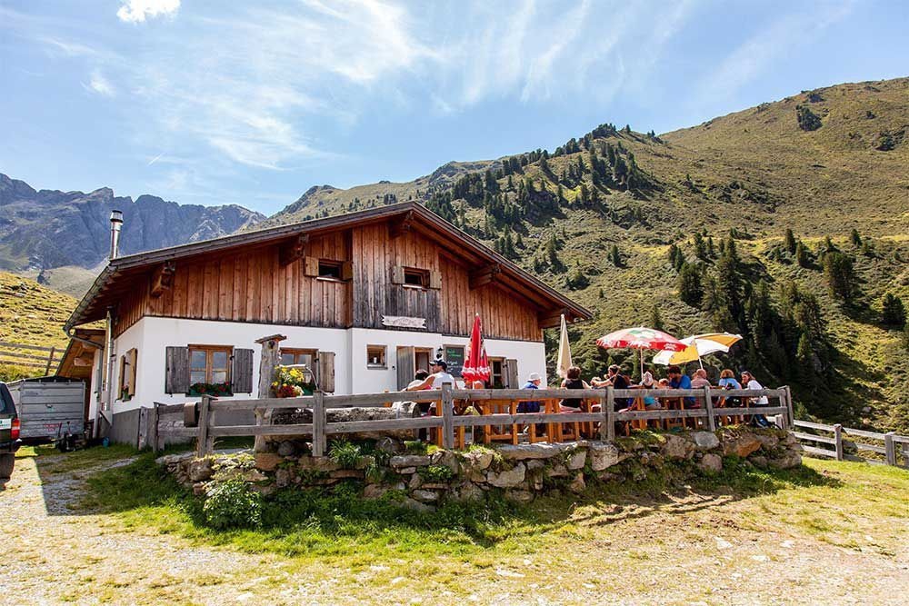
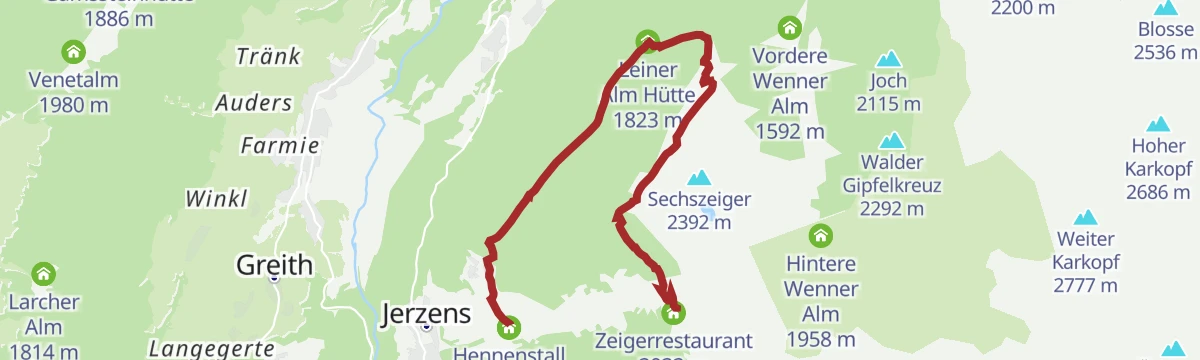
A mid-mountain forest-road climb above Jerzens, running up from the Kaitanger reservoir to the Leiner Alm hut.
- 6.9 km
- Distance
- 547 m
- Ascent
- 1 h 4 min
- Duration
- 1
- Check-ins
Pitztal Bike 614
A long valley route running the length of the Pitztal, from the upper hamlets at 1,670 m down past St. Leonhard towards the valley entrance.
- 39.9 km
- Distance
- 290 m
- Ascent
- 4 h 11 min
- Duration
- 40
- Check-ins
Rundwanderweg ZirbenPark
A miniature loop through the ZirbenPark at the Hochzeiger mid-station, where play stations among old stone pines keep children busy; the Zeigerrestaurant and Tanzalm are steps away.
- 1.8 km
- Distance
- 42 m
- Ascent
- 31 min
- Duration
- 23
- Check-ins
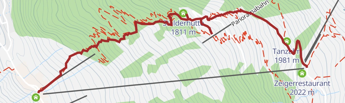
Übern Bärensteig zur Stalderhütte - Hochzeiger Haus - Tanzalm
A steep shortcut up the Hochzeiger slopes: the Bärensteig climbs directly to the Stalderhütte and continues past the Hochzeiger Haus to the Tanzalm — over 550 m of ascent packed into under three kilometres.
- 2.9 km
- Distance
- 552 m
- Ascent
- 2 h 3 min
- Duration
- 40
- Check-ins
Wanderung zum Wildgrat
A demanding 1,172 m ascent over the Hochzeiger to the Wildgrat, with the Grosssee on the route.
- 10.8 km
- Distance
- 1 149 m
- Ascent
- 6 h 60 min
- Duration
- 30
- Check-ins
Variante 6019 Leiner Alm
An alternative line up to the Leiner Alm hut above Jerzens, shorter and steeper than the main forest-road approach.
- 5.3 km
- Distance
- 633 m
- Ascent
- 59 min
- Duration
- 1
- Check-ins
609 | Tanzalm
A long forest-road ascent from the Pitztal floor past the Kaitanger reservoir to the Tanzalm and the ski area's summit restaurant.
- 9.6 km
- Distance
- 1 012 m
- Ascent
- 1 h 37 min
- Duration
- 23
- Check-ins
- Tanzalm 1 981 m
- Zeigerrestaurant 2 022 m
- Speicherteich Kaitanger 1 435 m
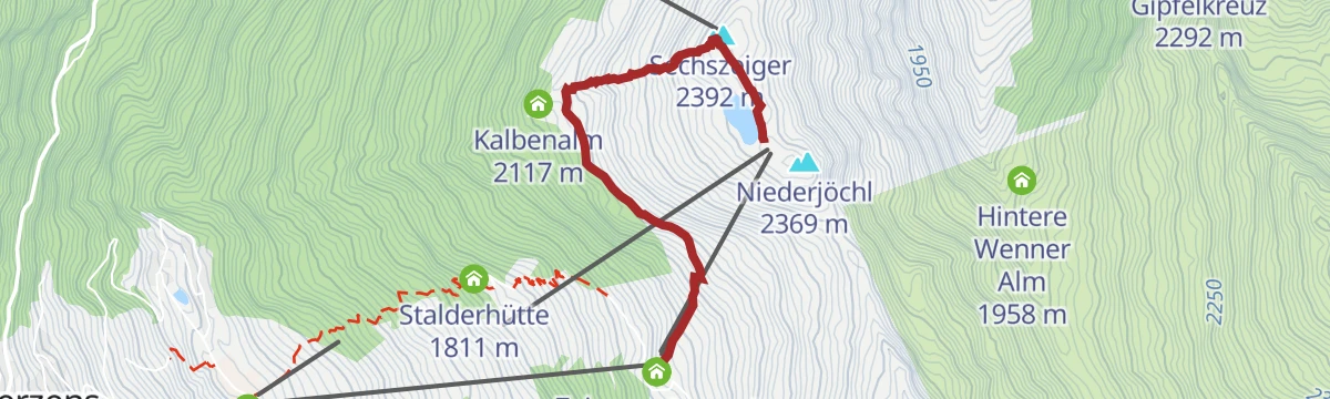
Bergstation Doppelsessellift - Sechszeiger - Mittelstation
A short, near-level link from the Sechszeiger top station down to the mid-station, passing the reservoir and the Zeigerrestaurant.
- 2.7 km
- Distance
- 31 m
- Ascent
- 1 h 6 min
- Duration
- 16
- Check-ins
- Sechszeiger 2 392 m
- Zeigerrestaurant 2 022 m
- Speicherteich Sechszeiger 2 358 m
Berglaufstrecke Hochzeiger
A marked mountain-running course at the Hochzeiger, climbing through the alm zone past the Tanzalm and the Kaitanger reservoir — steady, runnable gradients the whole way up.
- 10.3 km
- Distance
- 564 m
- Ascent
- 4 h
- Duration
- 35
- Check-ins
- Tanzalm 1 981 m
- Zeigerrestaurant 2 022 m
- Hennenstall 1 463 m
- Liss Schirmbar 1 460 m
- Egger Lounge 1 457 m
- Speicherteich Kaitanger 1 435 m
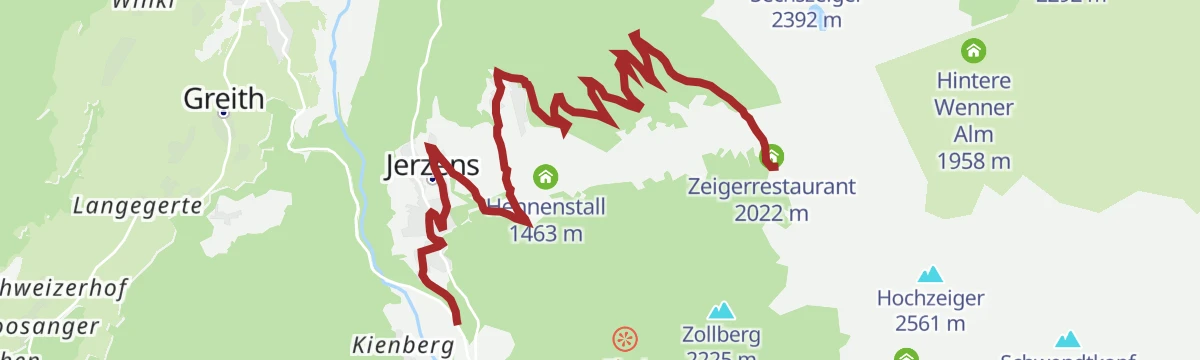
Feuerwehrhaus - Egg - Innerwald - Tanzalm
A 12.2 km climb from the fire station at Jerzens by way of Egg and Innerwald to the Tanzalm, 907 m of ascent.
- 12.2 km
- Distance
- 890 m
- Ascent
- 5 h 52 min
- Duration
- 13
- Check-ins
Kalbenalm - Sechszeiger 6020
A long service-road climb to the Kalbenalm and up to the Sechszeiger, passing the Kaitanger and Sechszeiger storage ponds.
- 14.6 km
- Distance
- 1 214 m
- Ascent
- 2 h 18 min
- Duration
- 15
- Check-ins
- Sechszeiger 2 392 m
- Kalbenalm 2 117 m
- Speicherteich Sechszeiger 2 358 m
- Speicherteich Kaitanger 1 435 m
Panoramawanderung mit Seilbahnunterstützung (Hochzeiger-Sechszeiger)
A lift-assisted 2.8 km ridge walk from the Hochzeiger over the Niederjöchl to the Sechszeiger, passing the reservoir.
- 2.8 km
- Distance
- 106 m
- Ascent
- 1 h 2 min
- Duration
- 16
- Check-ins
- Niederjöchl 2 369 m
- Sechszeiger 2 392 m
- Speicherteich Sechszeiger 2 358 m
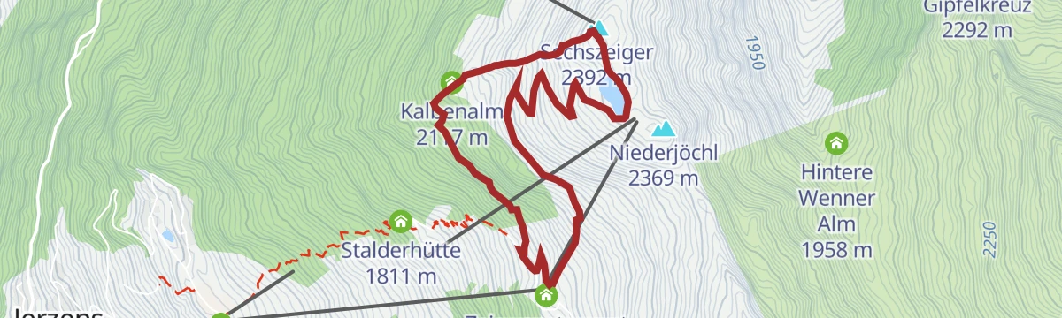
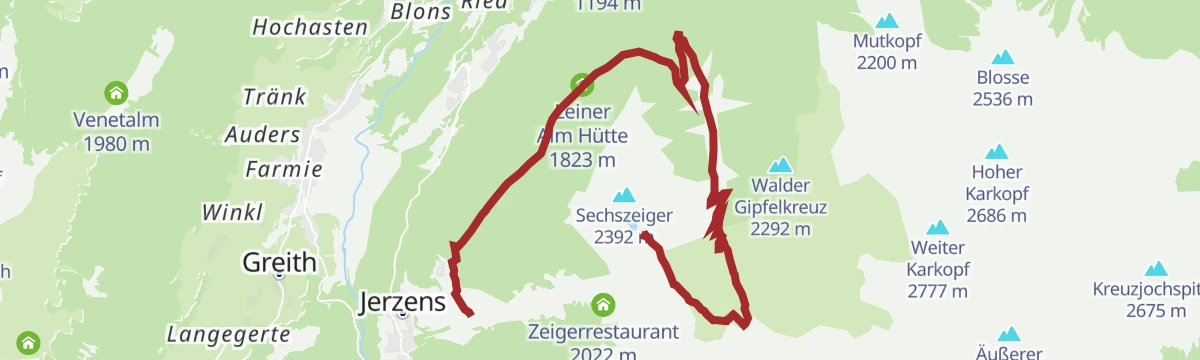
Mittelstation - Sechszeiger - Mittelstation
From the Hochzeiger mid-station past the Kalbenalm and the Sechszeiger reservoir up to the Sechszeiger itself — a manageable summit with the ski-area paths softening the way.
- 5.5 km
- Distance
- 404 m
- Ascent
- 2 h 41 min
- Duration
- 34
- Check-ins
- Sechszeiger 2 392 m
- Tanzalm 1 981 m
- Zeigerrestaurant 2 022 m
- Kalbenalm 2 117 m
- Speicherteich Sechszeiger 2 358 m
Krabichl - Leiner Alm - Sechszeiger - Kalbenalm - Krabichl
A 15 km circuit from Krabichl over the Sechszeiger with 1,246 m of ascent, calling at the Leiner Alm and Kalbenalm.
- 15.3 km
- Distance
- 1 186 m
- Ascent
- 7 h 41 min
- Duration
- 12
- Check-ins
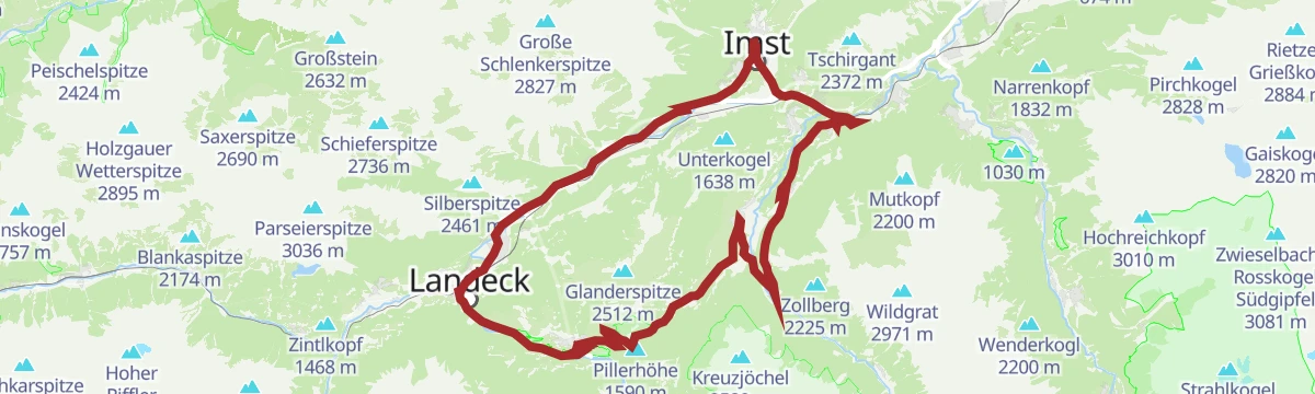
Pillerrunde
A big loop through the Inn valley and the Pitztal mouth, climbing over the Pillerhöhe pass before the run back to Imst.
- 65.8 km
- Distance
- 1 587 m
- Ascent
- 7 h 20 min
- Duration
- 11
- Check-ins
Wanderung zum Zollberg
An easy 3.7 km walk to the Zollberg from the Zeigerrestaurant, following the line of the drag lift.
- 3.7 km
- Distance
- 212 m
- Ascent
- 1 h 29 min
- Duration
- 13
- Check-ins
Panoramatour Hochzeiger - Sechszeiger - Kalbenalm - Mittelstation
From the Hochzeiger over the Niederjöchl and Sechszeiger, then down past the Kalbenalm to the mid-station; 7.2 km with 581 m of ascent.
- 7.2 km
- Distance
- 546 m
- Ascent
- 3 h 32 min
- Duration
- 28
- Check-ins
- Niederjöchl 2 369 m
- Sechszeiger 2 392 m
- Zeigerrestaurant 2 022 m
- Zollbergschlepplift 2 223 m
- Speicherteich Sechszeiger 2 358 m
Wanderung zum Straßbergsee
A long 15.9 km climb of 1,344 m to the Straßbergsee, by way of the Ritzenrieder Alm and the Straßberg Alm.
- 15.9 km
- Distance
- 1 219 m
- Ascent
- 7 h 57 min
- Duration
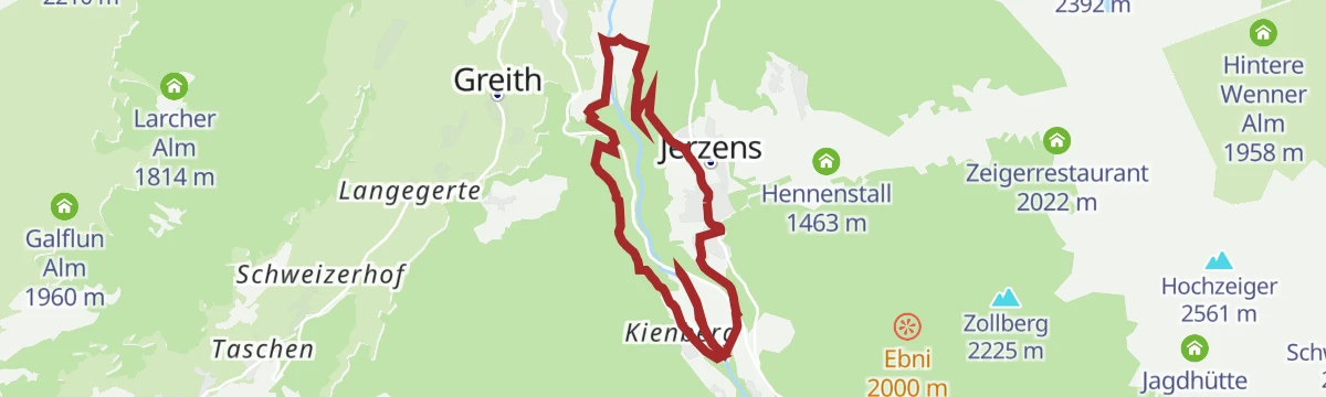
Pitztalrunde
A circuit of the lower Pitztal from Jerzens, out to the Inn valley and back up the other side.
- 35.7 km
- Distance
- 997 m
- Ascent
- 4 h 7 min
- Duration
- 4
- Check-ins
Talwanderung von Jerzens nach St. Leonhard (Wiese)
An easy valley walk of 6.4 km from Jerzens to St. Leonhard, passing the community power station.
- 6.4 km
- Distance
- 235 m
- Ascent
- 2 h
- Duration
- 3
- Check-ins
Wanderung ins Riegetal
A 7.5 km walk into the Riegetal below the Hochzeiger, passing the Grosssee; 692 m of ascent.
- 7.5 km
- Distance
- 663 m
- Ascent
- 4 h 10 min
- Duration
- 26
- Check-ins
- Hochzeiger 2 561 m
- Zeigerrestaurant 2 022 m
- Zollbergschlepplift 2 223 m
- Grosssee 2 416 m
6006 | Stalderhütte-Hochzeiger Haus
A steep forest-road climb above Jerzens in the Pitztal, gaining a thousand metres in under eight kilometres to the Hochzeiger lifts.
- 7.5 km
- Distance
- 866 m
- Ascent
- 1 h 23 min
- Duration
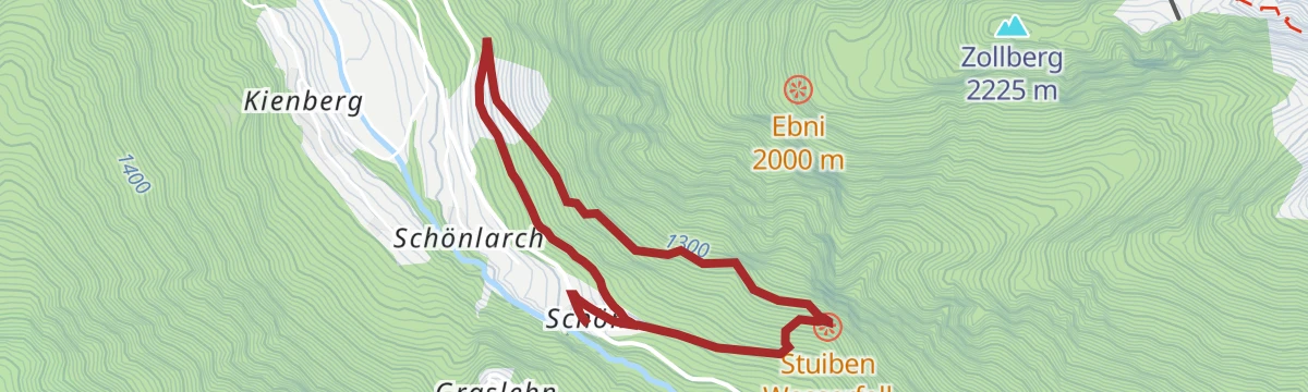
Kleine Stuibenwasserfallrunde
A 4.3 km loop to the Stuibenwasserfall above Jerzens, with 232 m of climbing.
- 4.3 km
- Distance
- 213 m
- Ascent
- 1 h 33 min
- Duration
- 2
- Check-ins
Bergstation Doppelsesselbahn - Wennerberg - Talstation
A 13.5 km descent from the chairlift top station over the Niederjöchl and Wennerberg, passing the Kaitanger reservoir and the Hintere Wenner Alm.
- 13.5 km
- Distance
- 337 m
- Ascent
- 4 h 57 min
- Duration
- 23
- Check-ins
- Niederjöchl 2 369 m
- Hennenstall 1 463 m
- Liss Schirmbar 1 460 m
- Egger Lounge 1 457 m
- Speicherteich Kaitanger 1 435 m
- Leiner Alm Hütte 1 823 m
- +2
Panoramawanderung Stuibenwasserfall
A 5.5 km panorama route to the Stuibenwasserfall above Jerzens, with 326 m of climbing.
- 5.5 km
- Distance
- 308 m
- Ascent
- 2 h 10 min
- Duration
- 2
- Check-ins
Hüttenwanderung Stalderhütte/Hochzeiger Haus
A 6.3 km hut walk to the Stalderhütte and the Hochzeiger Haus, passing the Kaitanger reservoir.
- 6.3 km
- Distance
- 417 m
- Ascent
- 2 h 48 min
- Duration
- 9
- Check-ins
- Stalderhütte 1 811 m
- Speicherteich Kaitanger 1 435 m
Wanderung von Schön zum Stuibenwasserfall
A short 2.3 km approach from Schön to the Stuibenwasserfall, gaining 170 m.
- 2.3 km
- Distance
- 168 m
- Ascent
- 1 h 6 min
- Duration
- 2
- Check-ins
Dorf - Falsterwies - Kaitanger - Dorf
A 5.4 km round from the village of Jerzens by way of Falsterwies to the Kaitanger reservoir.
- 5.4 km
- Distance
- 340 m
- Ascent
- 2 h 19 min
- Duration
- 2
- Check-ins
- Speicherteich Kaitanger 1 435 m
Wanderung zur Pitzenschlucht
A 6.9 km walk down to the Pitzenschlucht gorge, with 332 m of climbing on the return.
- 6.9 km
- Distance
- 243 m
- Ascent
- 2 h 13 min
- Duration
- 2
- Check-ins
Graslehnrunde
A 7.6 km round by way of Graslehn above Jerzens, with 401 m of ascent.
- 7.6 km
- Distance
- 379 m
- Ascent
- 2 h 44 min
- Duration
- 2
- Check-ins
Wassertalweg
An easy 2.5 km path along the Wassertal to the Kaitanger reservoir.
- 2.5 km
- Distance
- 80 m
- Ascent
- 47 min
- Duration
- 2
- Check-ins
- Speicherteich Kaitanger 1 435 m
Wanderung nach Ritzenried
An 8.3 km walk from Jerzens out to Ritzenried, with 275 m of climbing.
- 8.3 km
- Distance
- 244 m
- Ascent
- 2 h 33 min
- Duration
- 2
- Check-ins
Dorf - Falsterwies - Gischlewies - Dorf
A 3.8 km village round from Jerzens by way of Falsterwies and Gischlewies.
- 3.8 km
- Distance
- 156 m
- Ascent
- 1 h 16 min
- Duration
Matzlewald - Fernsehturm ORF – Sender Klapf - Matzlewald
A 6 km round from the Matzlewald up to the ORF transmitter at Klapf and back down, with 378 m of climb.
- 6.0 km
- Distance
- 353 m
- Ascent
- 2 h 28 min
- Duration
Wanderung von Jerzens nach Wenns
An easy 3.9 km descent from Jerzens down the valley to Wenns.
- 3.9 km
- Distance
- 126 m
- Ascent
- 1 h 21 min
- Duration
Rundwanderung Jerzens - Pitzenhöfe - Jerzens
An 8.3 km round from Jerzens out to the Pitzenhöfe and back, with 400 m of ascent.
- 8.3 km
- Distance
- 370 m
- Ascent
- 2 h 52 min
- Duration
Wanderung von Liss ins Dorfzentrum Jerzens
A level 2 km link from Liss into the centre of Jerzens, with essentially no climbing.
- 2.1 km
- Distance
- 0 m
- Ascent
- 52 min
- Duration
No routes of this kind in Jerzens yet.
The region's own picks
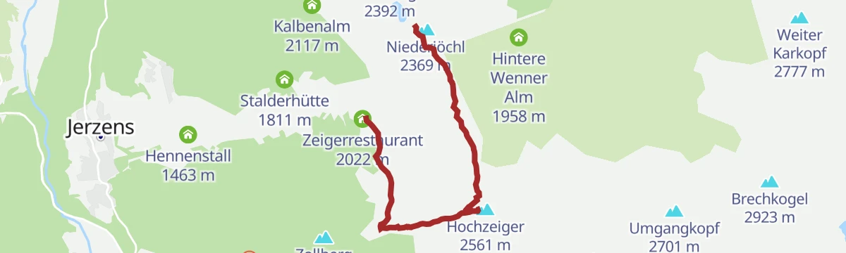
Featured route
Bergstation Doppelsesselbahn - Hochzeiger - Mittelstation
A downhill-friendly ridge walk from the top of the Hochzeiger lifts over the summit and the Niederjöchl, descending past the Zeigerrestaurant to the mid-station — big views for modest effort.
Planning a trip to Jerzens?
Everything else Tyrol has, in one place


Take Jerzens with you into the mountains
Every route on this page with 3D terrain, GPX navigation and offline maps — including the valleys with no signal.
Data sources
- Official website: pitztal.com ↗
- Routes and highlights: Tourismusverband Pitztal, Imst Tourismus
- Published as open data by the tourist boards named above.
- Region summary generated from the board's own material.
