
 Historic site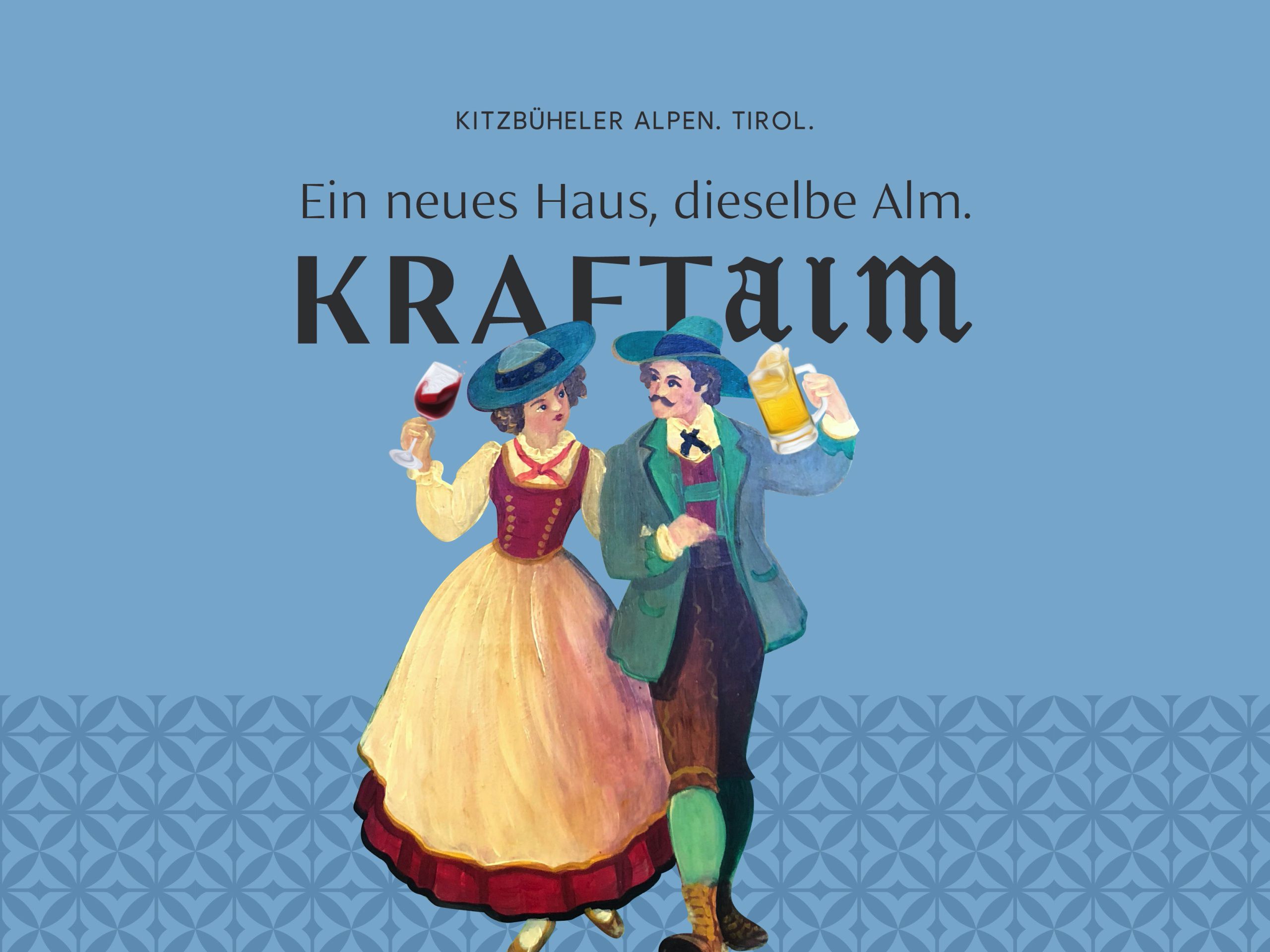
 Cable car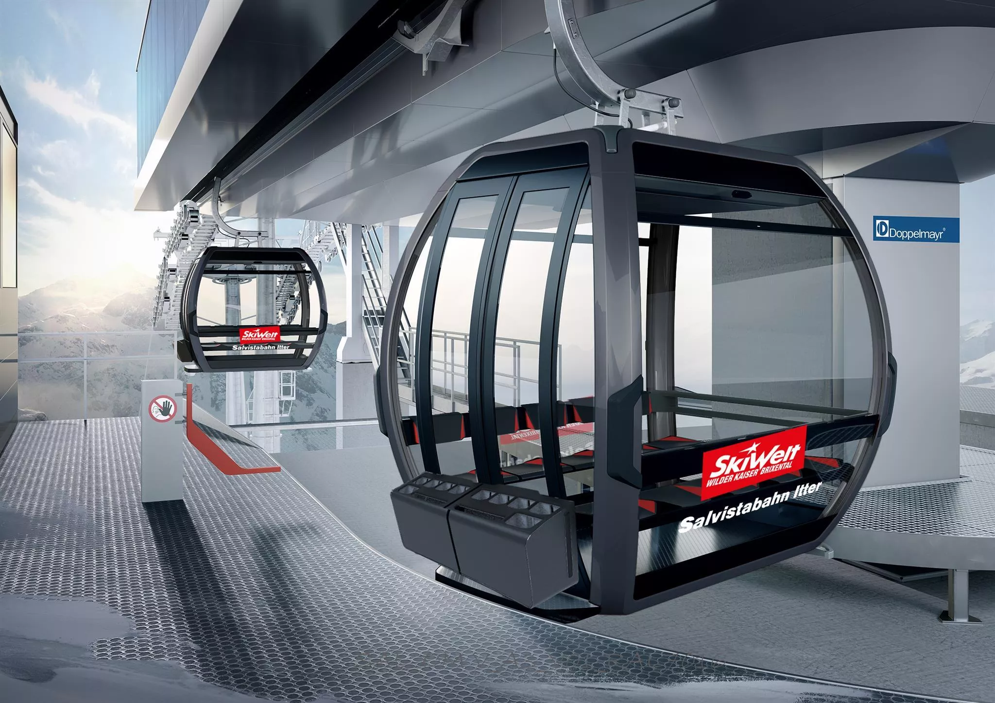




Curated by Kitzbüheler Alpen Tourismus
Itter
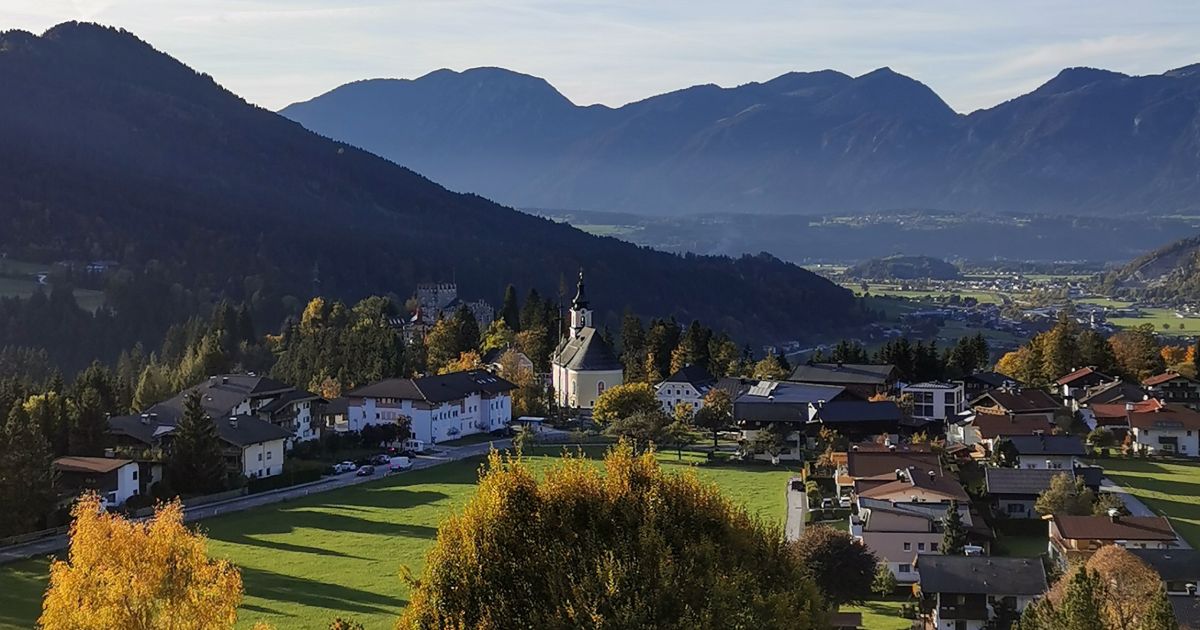
A hilltop village between Wörgl and Hopfgarten at 702 m, gathered around Schloss Itter and looking across the Brixental to the Hohe Salve.
- 5Highlights
- 38Routes
- Featured summit · Kleine Salve
Highlights
10 from neighbouring places
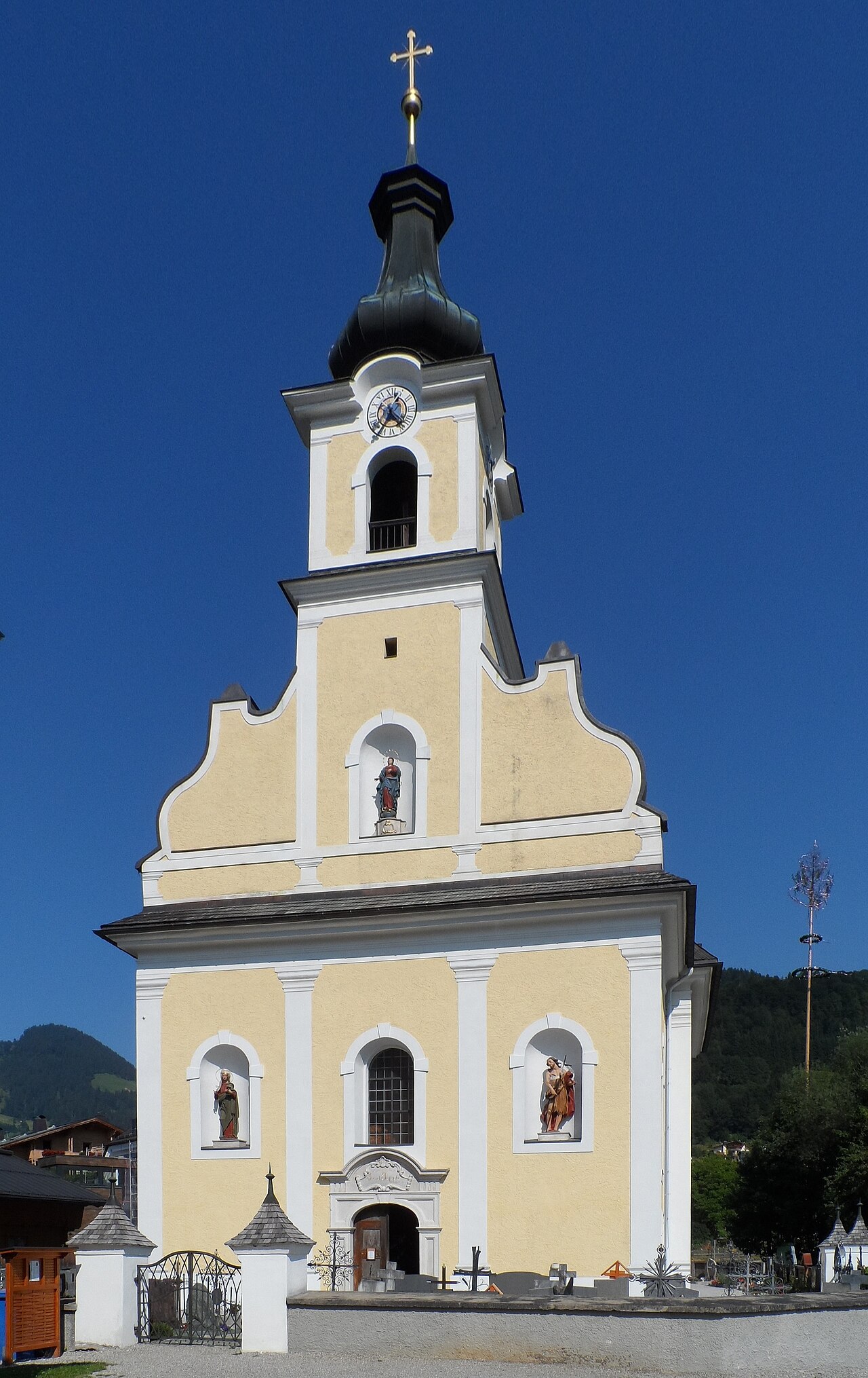
Pfarrkirche Itter
The parish church of Itter, standing near the village castle on a terrace above the mouth of the Brixental valley.
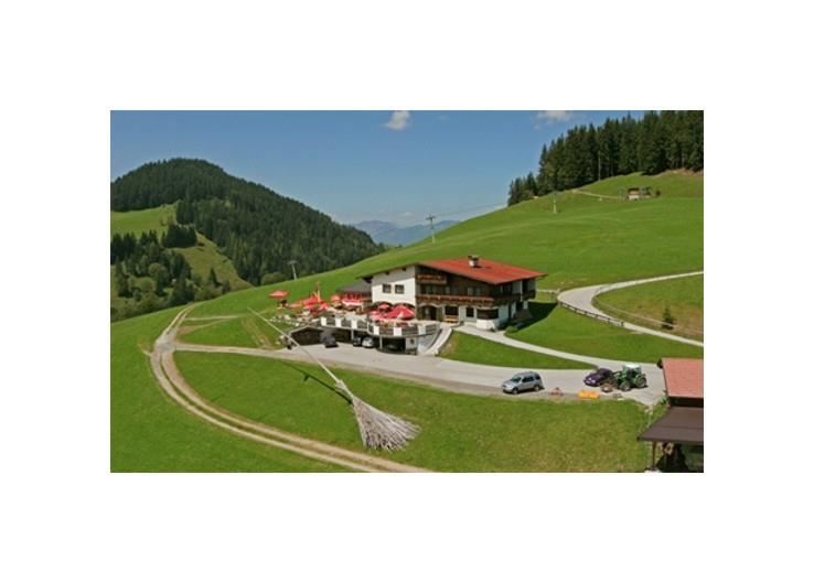
KRAFTalm
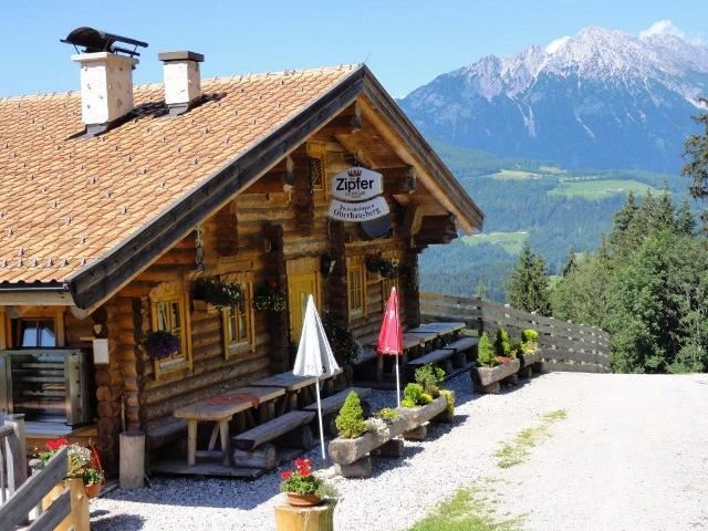
An alm on the slopes of the Hohe Salve above Itter, combining a mountain restaurant with lodging beside the ski runs and walking paths.
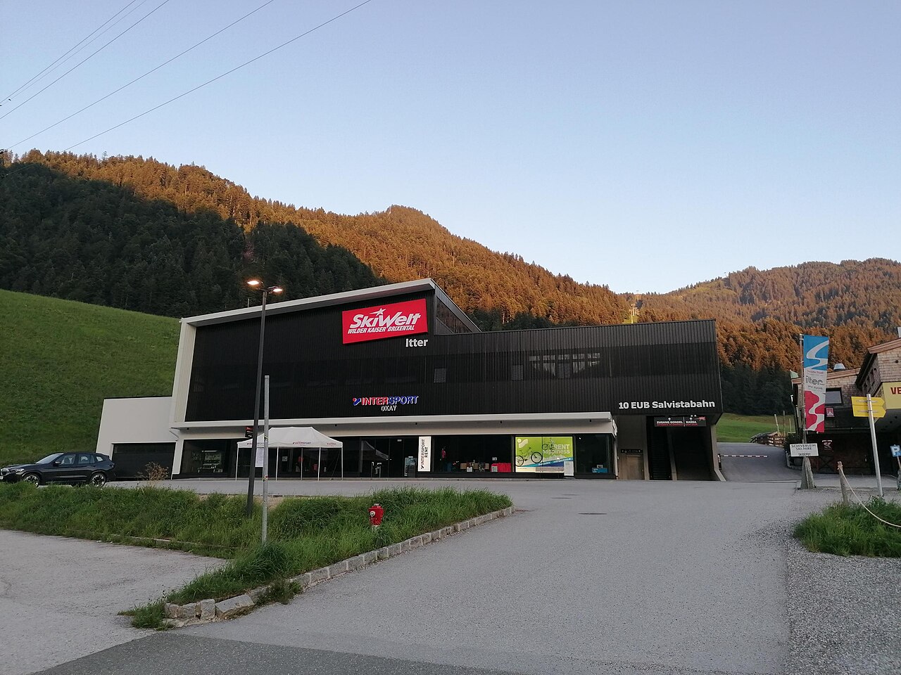
Salvistabahn Itter
A gondola from Itter rising toward the Hohe Salve, linking the village into the surrounding ski and hiking area.
Bergbahn Itter - Salvistabahn
The gondola from Itter onto the Salvista ridge, a quieter entry to the slopes and trails around Hohe Salve in the SkiWelt region.
rITTERspielplatz
A knight-themed playground in Itter whose name plays on the village name, with wooden play equipment below Schloss Itter.
Alpengasthaus Stallhäusl
1.8 km away, in Söll
An alpine guesthouse above Söll at the western edge of the Kufsteinerland, a rustic stop for walkers with home-style Tyrolean cooking.
Lärchenteich Hopfgarten
2.2 km away, in Hopfgarten im Brixental
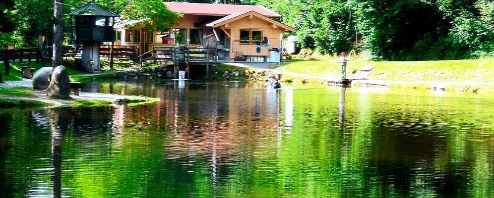
A fishing pond set among larch trees at Hopfgarten im Brixental, stocked for day anglers at the edge of the village.
Bergbahnen Hohe Salve
3.3 km away, in Hopfgarten im Brixental
The gondola from Hopfgarten im Brixental to the summit of the Hohe Salve, whose top station stands beside the pilgrimage chapel.
Bergbahnen Hopfgarten - Salvenbahn I und II
3.3 km away, in Hopfgarten im Brixental
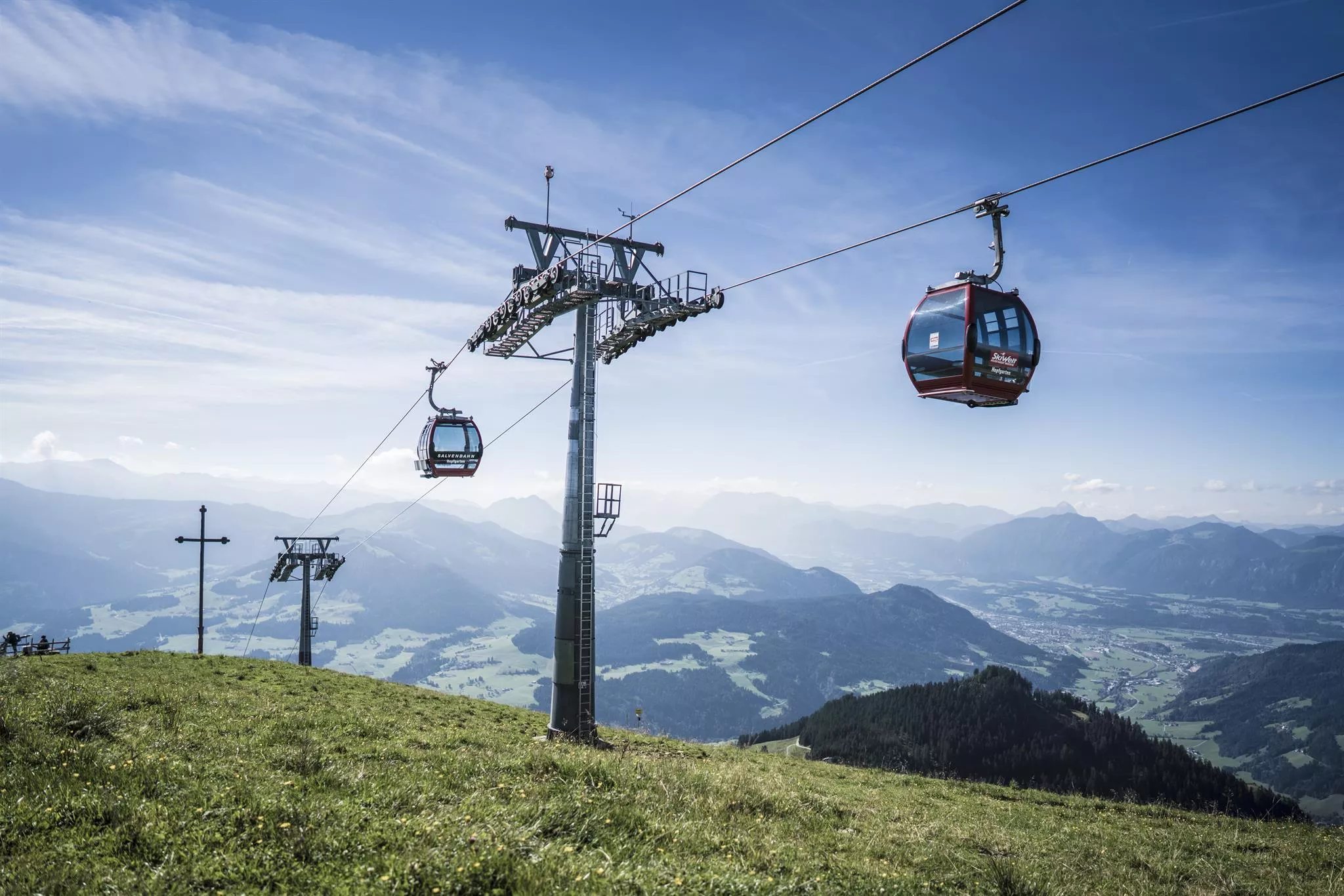
A two-stage gondola from Hopfgarten im Brixental at 603 m towards the Hohe Salve, linking the village into the SkiWelt Wilder Kaiser-Brixental area.
Oberhausberg
3.5 km away, in Söll
A farmhouse hut on the slopes west of Söll, serving regional dishes with views over the village towards the Wilder Kaiser.
Alpengasthof Rigi
3.5 km away, in Hopfgarten im Brixental
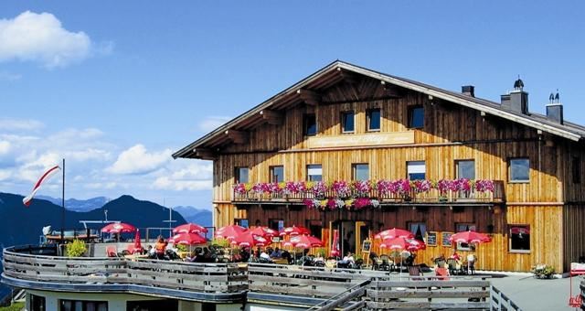
An alpine inn on the slopes between Söll and the Hohe Salve, serving regional dishes and listed among the region's accessible mountain restaurants.
Tenner Stadl
3.6 km away, in Hopfgarten im Brixental
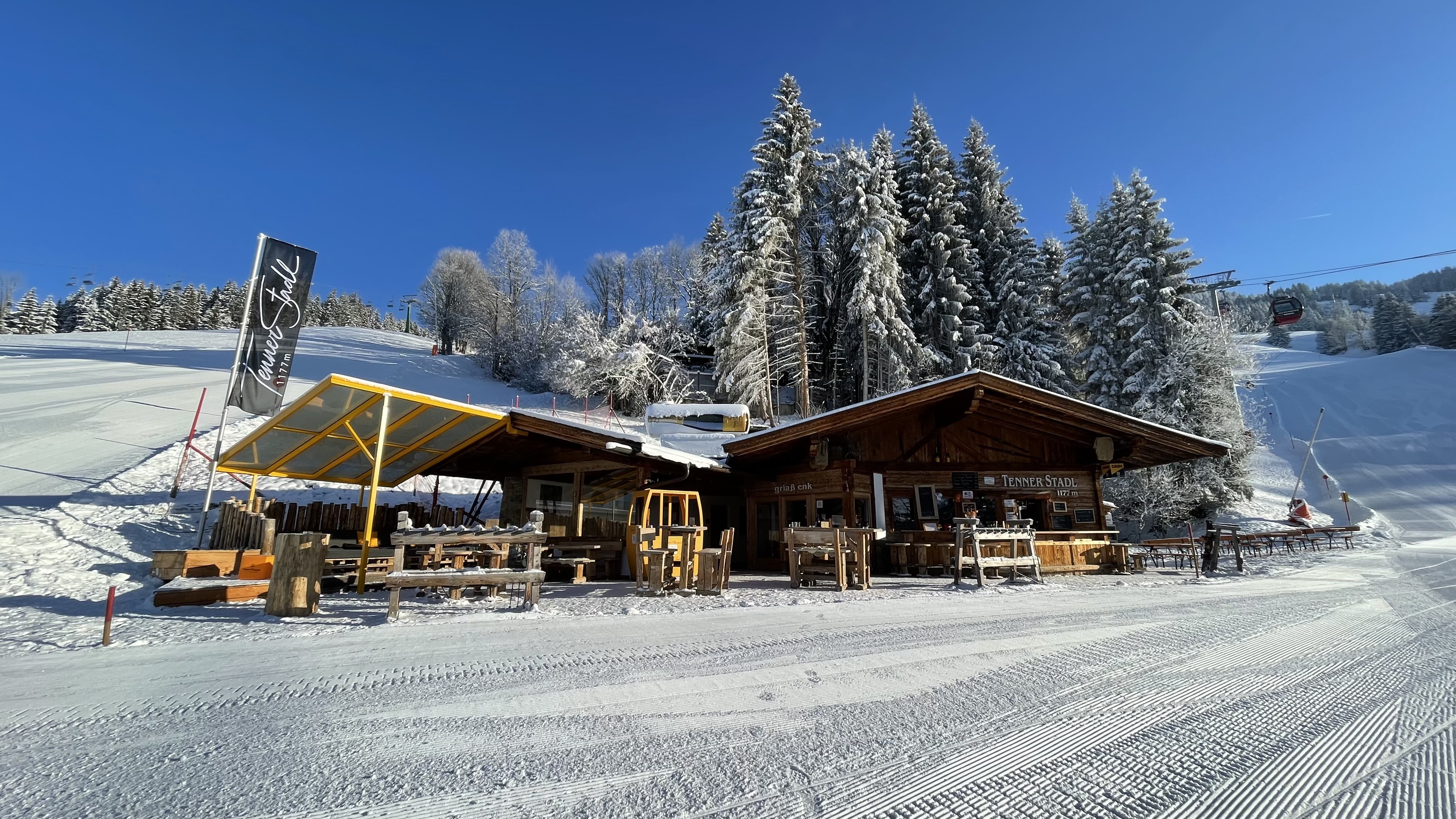
A rustic barn restaurant at the Tenn above Hopfgarten im Brixental, serving hearty food in a converted Stadl, the Tyrolean word for a hay barn.
Stöcklalm
3.6 km away, in Söll
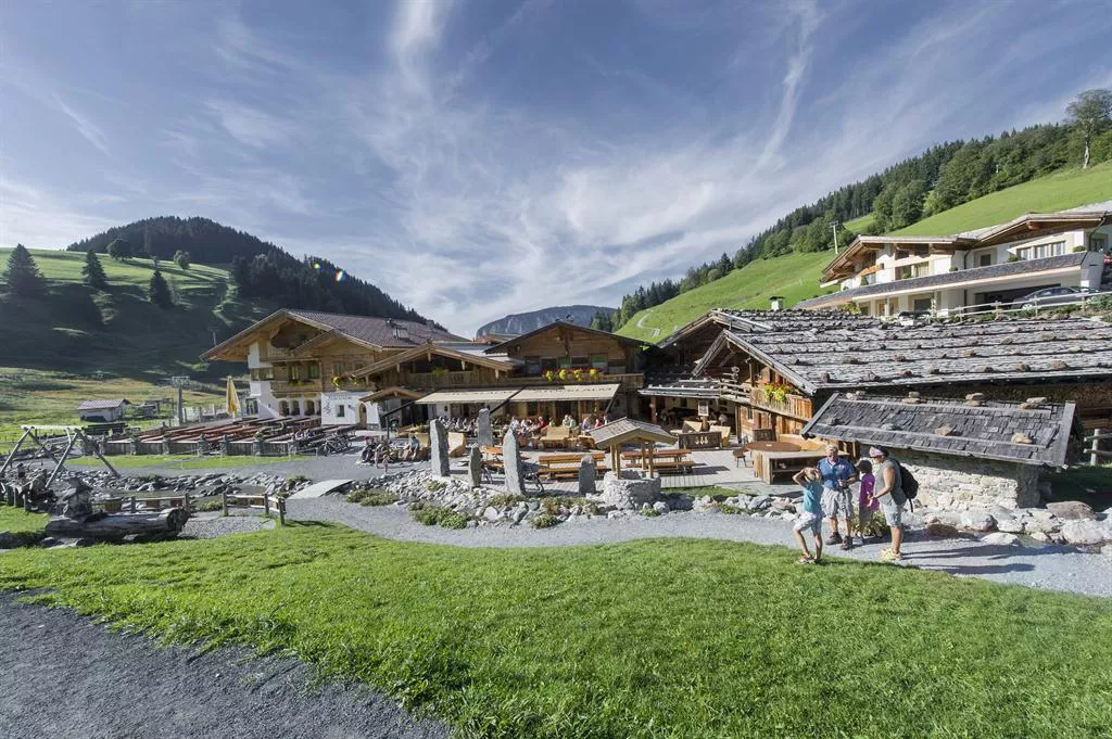
An accessible alm restaurant on the Söll slopes with a garden terrace and après-ski bar, serving regional dishes beside the SkiWelt pistes.
Alpengasthof Salvenmoos
3.8 km away, in Söll
An alpine inn at Salvenmoos above Söll with a garden terrace, serving regional and international dishes; listed as accessible by the region.
Keatalm Skihütte
3.8 km away, in Söll
A ski hut on the Hochsöll slopes with garden seating, serving regional and international dishes beside the SkiWelt pistes.
Nothing of this kind in Itter.
Routes
Steig Kleine Salve
Short summit path from the Gasthof Kraftalm up the final grassy slopes, a quick top-out with views over the Brixental to the Wilder Kaiser.
- 1.1 km
- Distance
- 195 m
- Ascent
- 1 h 6 min
- Duration
- 26
- Check-ins
Quellen Wanderweg
Climbs from Söll into the spring country of the Hohe Salve, where the mountain's water rises; inns from the Kraftalm to the Stöcklalm line the round.
- 10.3 km
- Distance
- 520 m
- Ascent
- 3 h 48 min
- Duration
- 54
- Check-ins
Kleine Salve über Grünholz und KRAFTalm
Long ascent from Itter through the Grünholz forests to the Kraftalm and on to the Kleine Salve summit, a full-height climb without lift help.
- 17.5 km
- Distance
- 1 082 m
- Ascent
- 7 h 26 min
- Duration
- 26
- Check-ins
MTB-Tour um die Hohe Salve
A long circuit around the central peak of the SkiWelt, running over to Hopfgarten and back past the SkiWelt Hütte and the Gründlalm.
- 36.5 km
- Distance
- 877 m
- Ascent
- 4 h 4 min
- Duration
- 48
- Check-ins
Rennrad 08 Pölvenrunde
A long road circuit from the lower Inn valley over to Hopfgarten in the Brixental, returning by Mariastein and Angerberg.
- 82.2 km
- Distance
- 1 004 m
- Ascent
- 8 h 14 min
- Duration
- 50
- Check-ins
Wanderung Kleine Salve zur KRAFTalm
Nearly level panoramic stroll from the mountain station across to the Gasthof Kraftalm below the Kleine Salve — gondola up, easy walking on top.
- 2.3 km
- Distance
- 4 m
- Ascent
- 32 min
- Duration
- 26
- Check-ins
Erlebnistour Kleine Salve
Round tour to the Kleine Salve summit with a stop at the Gasthof Kraftalm, climbing through open pastures with Wilder Kaiser views.
- 7.3 km
- Distance
- 453 m
- Ascent
- 3 h 7 min
- Duration
- 26
- Check-ins
Über Hochbrixen zum Hexenwasser
A long forest-road ride from Westendorf over the Hochbrixen slopes to Söll, calling at the Gründlalm, the Siller Alm and the Alpengasthof Hochsöll.
- 36.2 km
- Distance
- 991 m
- Ascent
- 4 h 9 min
- Duration
- 48
- Check-ins
06A - Variante Hochtal-Runde
A tougher variant of the Wildschönau circuit, adding height on the way to the Schönangeralm and passing the Feldalm and Gasthof Oberstegen.
- 80.7 km
- Distance
- 1 715 m
- Ascent
- 8 h 47 min
- Duration
- 36
- Check-ins
Familientour Itter - Hopfgarten
Family route linking Itter and Hopfgarten on gentle valley paths, an easy point-to-point that pairs well with a return by train.
- 4.9 km
- Distance
- 88 m
- Ascent
- 1 h 22 min
- Duration
- 4
- Check-ins
Mittelstation Hopfgarten - Laiming - Hacha - Hopfgarten
A walk from the mid-station above Hopfgarten by way of Laiming and Hacha, with the Berggasthof Tenn on the upper part of the route.
- 7.9 km
- Distance
- 150 m
- Ascent
- 2 h 13 min
- Duration
- 7
- Check-ins
Kleine Salvenbergrunde
A demanding forest-road round with over 2,000 m of climbing, taking in the Gasthof Kraftalm, Alpengasthof Rigi and the Kälbersalve Alm.
- 22.4 km
- Distance
- 2 138 m
- Ascent
- 5 h 2 min
- Duration
- 45
- Check-ins
Rennradrunde - Reintaler Seen
A long road circuit from the Inn valley up to the lakes above Kramsach, with inns and campsites along the shore.
- 69.9 km
- Distance
- 655 m
- Ascent
- 6 h 49 min
- Duration
- 34
- Check-ins
Lengauer Besinnungs Weg
Short contemplative path above Itter, climbing gently to the St. Anna chapel at Lengau.
- 3.2 km
- Distance
- 271 m
- Ascent
- 1 h 15 min
- Duration
- 1
- Check-ins
Große Salvenbergrunde
A long forest-road round above Hopfgarten, climbing past the Sunnseithütte to the Speichersee reservoir and the Kälbersalve Alm.
- 23.0 km
- Distance
- 1 144 m
- Ascent
- 3 h 11 min
- Duration
- 27
- Check-ins
19 - Kurzer und Langer Grund
A long road tour from Kufstein up to Hopfgarten and into the side valleys behind it, crossing the Wegscheid at 1,142 m.
- 83.0 km
- Distance
- 1 792 m
- Ascent
- 9 h 3 min
- Duration
- 33
- Check-ins
Camping Schlossbergweg
Very short, level path at the Itter campsite below the Schlossberg, a five-minute link walk with views up to the castle.
- 952 m
- Distance
- 0 m
- Ascent
- 13 min
- Duration
Salvenradrunde
A long, mostly flat circuit of the Hohe Salve on valley roads, linking Westendorf, Brixen im Thale and Ellmau at around 800 m.
- 62.4 km
- Distance
- 644 m
- Ascent
- 6 h 9 min
- Duration
- 23
- Check-ins
21,14 | Salvenradrunde
A long circuit of the Hohe Salve on cycle paths and valley roads, linking the Brixental with Ellmau on the Wilder Kaiser side.
- 53.9 km
- Distance
- 687 m
- Ascent
- 5 h 25 min
- Duration
- 32
- Check-ins
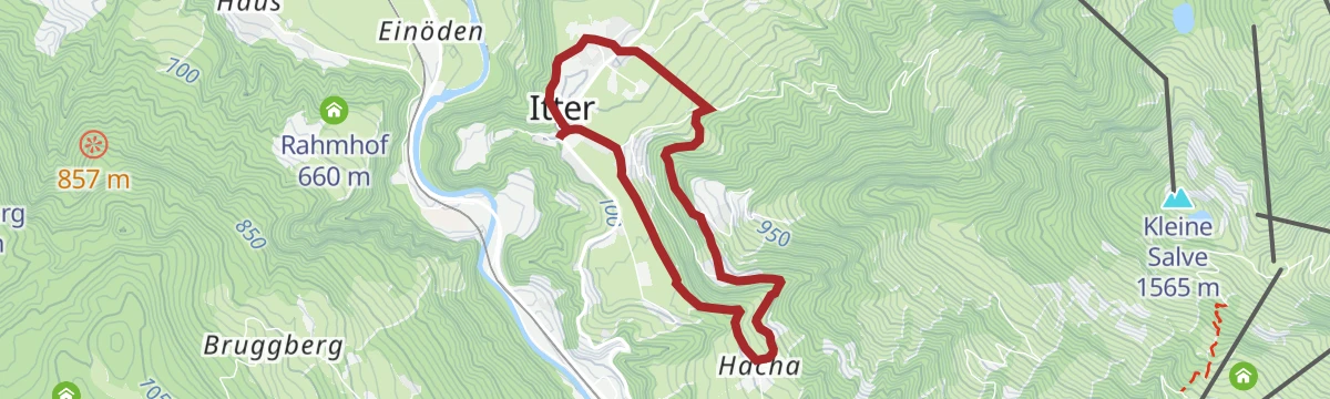
Dorfrunde Itter
Village loop around Itter past its hilltop castle and church, on quiet lanes with views across the Brixental to the Hohe Salve.
- 4.3 km
- Distance
- 116 m
- Ascent
- 1 h 17 min
- Duration
Radwanderweg Wilder Kaiser Nr. 14
A waymarked route along the southern foot of the Wilder Kaiser, from the Inn valley at Bruckhäusl up to Ellmau at around 800 m.
- 38.1 km
- Distance
- 473 m
- Ascent
- 3 h 46 min
- Duration
- 17
- Check-ins
7 Rund um die Hohe Salve
A valley-road loop right around the Hohe Salve massif, running by way of Kitzbühel, Ellmau and Hopfgarten in the Brixental.
- 57.5 km
- Distance
- 765 m
- Ascent
- 5 h 49 min
- Duration
- 31
- Check-ins
Lindweg
Easy walk on the wooded slopes around Itter, a quiet lane-and-path loop between the village and its outlying farms.
- 5.1 km
- Distance
- 224 m
- Ascent
- 1 h 45 min
- Duration
Pölvenradrunde
A mountain-bike circuit around the hill between Bad Häring and Schwoich, dropping to Bruckhäusl near Wörgl past the Gasthof Oberstegen.
- 29.6 km
- Distance
- 422 m
- Ascent
- 3 h 2 min
- Duration
- 7
- Check-ins
Salvenradrunde
A road and cycle-path round of the Hohe Salve from Hopfgarten, passing the Ellmauer Alm and the Waldhof Alm on the way.
- 62.7 km
- Distance
- 1 034 m
- Ascent
- 6 h 32 min
- Duration
- 31
- Check-ins
Mühltalrunde
Gentle circuit from Itter through the Mühltal, following streamside and forest paths before returning across open farmland.
- 6.6 km
- Distance
- 189 m
- Ascent
- 2 h 1 min
- Duration
269 | Salvenbergrunde
A round on the Salvenberg above Hopfgarten, by the Sunnseithütte to the Berggasthof Tenn.
- 15.9 km
- Distance
- 778 m
- Ascent
- 2 h 10 min
- Duration
- 7
- Check-ins
Rund um die Hohe Salve Grand Tour
The long version of the loop around the Salve massif, taking in Ellmau and the villages of the Brixental over more than 80 km.
- 84.8 km
- Distance
- 1 044 m
- Ascent
- 8 h 31 min
- Duration
- 28
- Check-ins
Rosenweg
Short flower-lined stroll on the edge of Itter, an easy round with benches and views over the Brixental.
- 1.9 km
- Distance
- 51 m
- Ascent
- 35 min
- Duration
Salvenbergrunde (MTB Route 269)
The waymarked route 269 up the Salvenberg, a short steep circuit out of Itter.
- 16.9 km
- Distance
- 788 m
- Ascent
- 2 h 15 min
- Duration
- 7
- Check-ins
Gravelbiketour: Reintaler Seenrunde
A gravel loop out of Kundl to the lakes at Kramsach, running past Toni's Seealm and the shoreline campsites before the valley return.
- 62.9 km
- Distance
- 558 m
- Ascent
- 6 h 6 min
- Duration
- 25
- Check-ins
Rennradtour: Große Wildschönaurunde
A road tour from Hopfgarten climbing to the Schönangeralm at 1,172 m, then dropping through Niederau and back down the valley.
- 53.9 km
- Distance
- 1 308 m
- Ascent
- 6 h 1 min
- Duration
- 23
- Check-ins
Radtour um die Hohe Salve
A cycle-path circuit of the Salve massif through the SkiWelt villages, from Hopfgarten around to Brixen im Thale.
- 50.6 km
- Distance
- 607 m
- Ascent
- 5 h 4 min
- Duration
- 21
- Check-ins
Radwanderweg Wilder Kaiser Nr. 14
A family tour from Wörgl station along the terrace below the Kaiser peaks as far as Ellmau, with the Waldhof Alm en route.
- 37.5 km
- Distance
- 435 m
- Ascent
- 3 h 44 min
- Duration
- 18
- Check-ins
14 | Radweg Wilder Kaiser
A cycle route along the foot of the Kaiser range from Wörgl up through Söll and Ellmau, passing the Ellmauer Alm.
- 38.0 km
- Distance
- 585 m
- Ascent
- 3 h 55 min
- Duration
- 17
- Check-ins
Stallhäuslrunde
A hill circuit above the Inn and Brixental valleys, climbing from Bruckhäusl to the Stallhäusl at 972 m and back down by Hopfgarten.
- 28.6 km
- Distance
- 765 m
- Ascent
- 3 h 16 min
- Duration
- 12
- Check-ins
 Stallhäusl 972 m
- Tourismusbüro 592 m
- Jagdhüttn 886 m
 Fischteich 586 m
Rundtour Großer Pölven - Rennradtour
A road-bike round of the Pölven, climbing past the Moorsee at 671 m and returning through Bruckhäusl to the Inn valley.
- 35.4 km
- Distance
- 651 m
- Ascent
- 3 h 45 min
- Duration
- 9
- Check-ins
Pölvenradrunde
A road circuit around the Pölven from Schwoich, over to Bad Häring and back by Bruckhäusl near Wörgl.
- 29.6 km
- Distance
- 585 m
- Ascent
- 3 h 11 min
- Duration
- 7
- Check-ins
No routes of this kind in Itter yet.
The region's own picks
Featured route
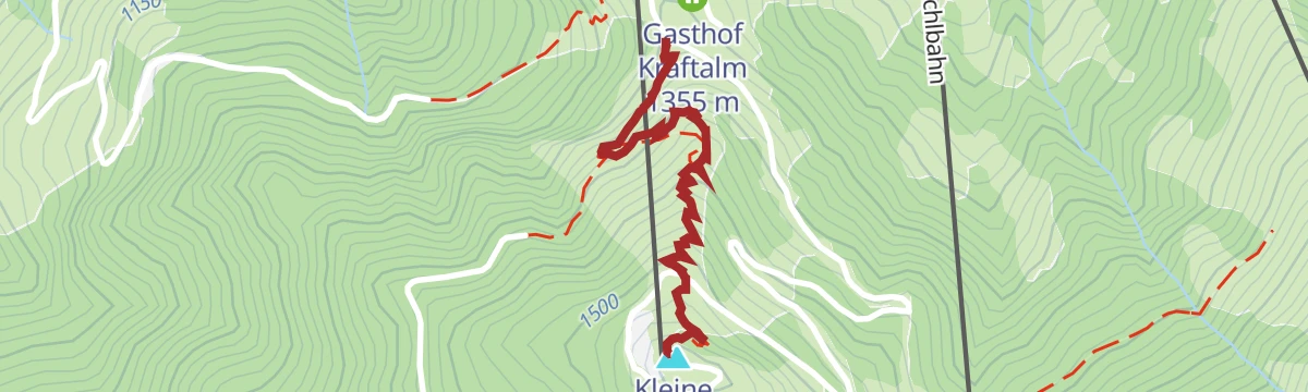
Steig Kleine Salve
Short summit path from the Gasthof Kraftalm up the final grassy slopes, a quick top-out with views over the Brixental to the Wilder Kaiser.
Planning a trip to Itter?
Everything else Tyrol has, in one place


Take Itter with you into the mountains
Every route on this page with 3D terrain, GPX navigation and offline maps — including the valleys with no signal.
Data sources
- Official website: kitzbueheler-alpen.com ↗
- Routes and highlights: Kitzbüheler Alpen Tourismus, Wilder Kaiser Tourismus, Kufsteinerland, Kitzbühel Tourismus, Alpbachtal Tourismus
- Published as open data by the tourist boards named above.
- Region summary generated from the board's own material.
