

 Historic site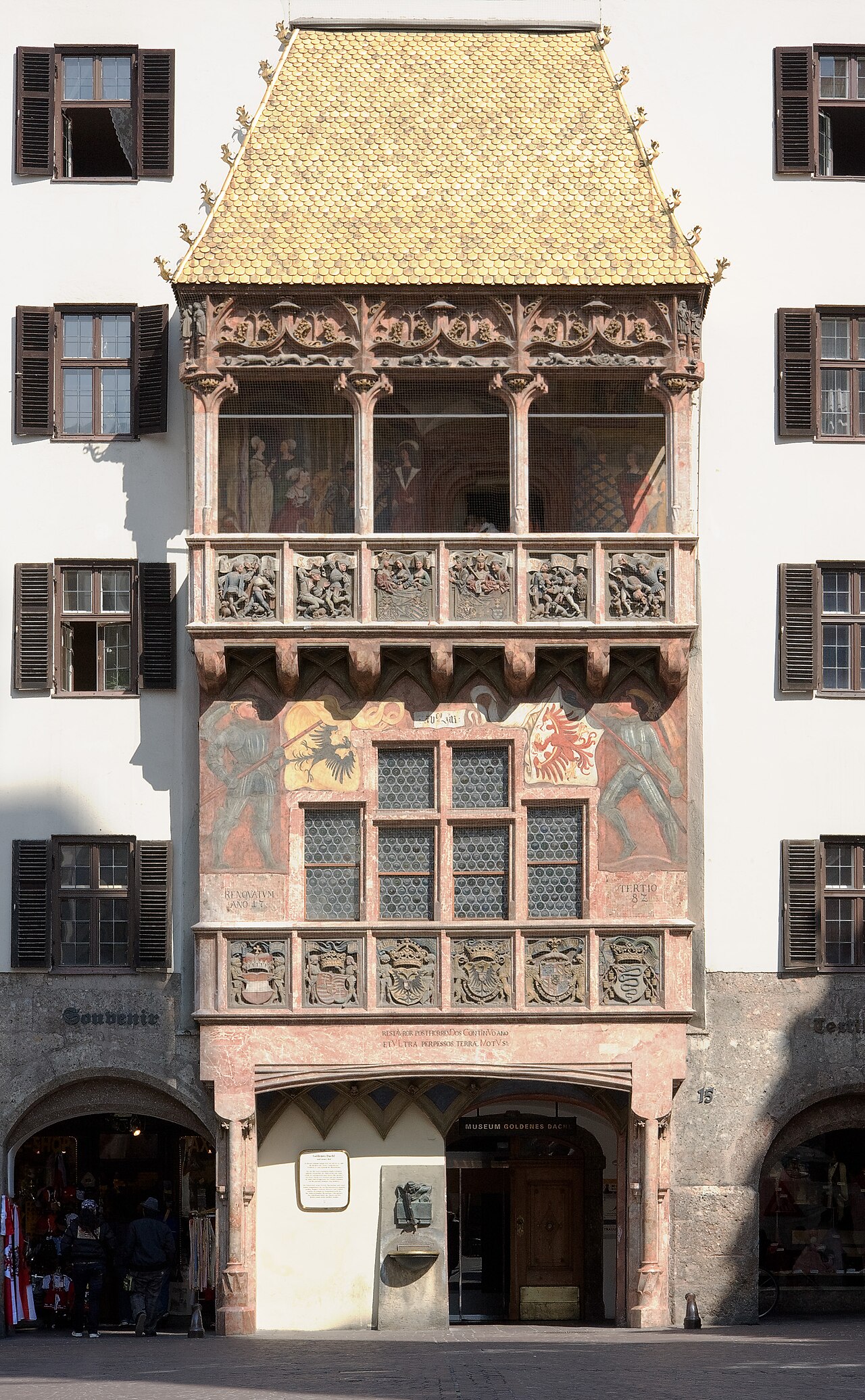

 Via ferrata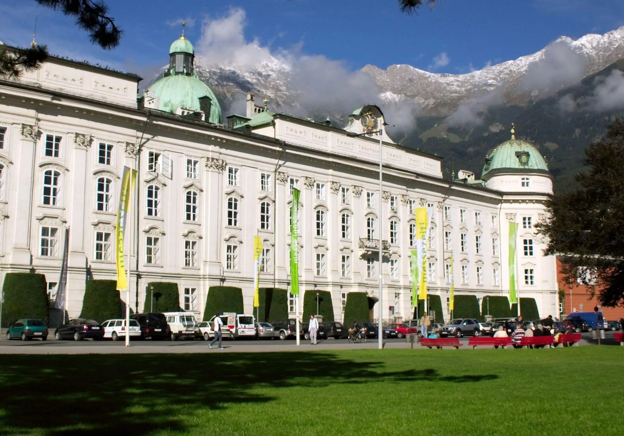



















Curated by Innsbruck Tourismus
Innsbruck
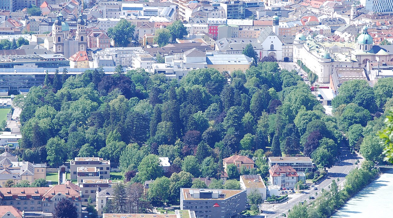
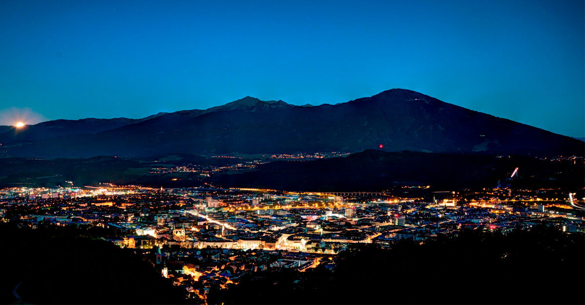
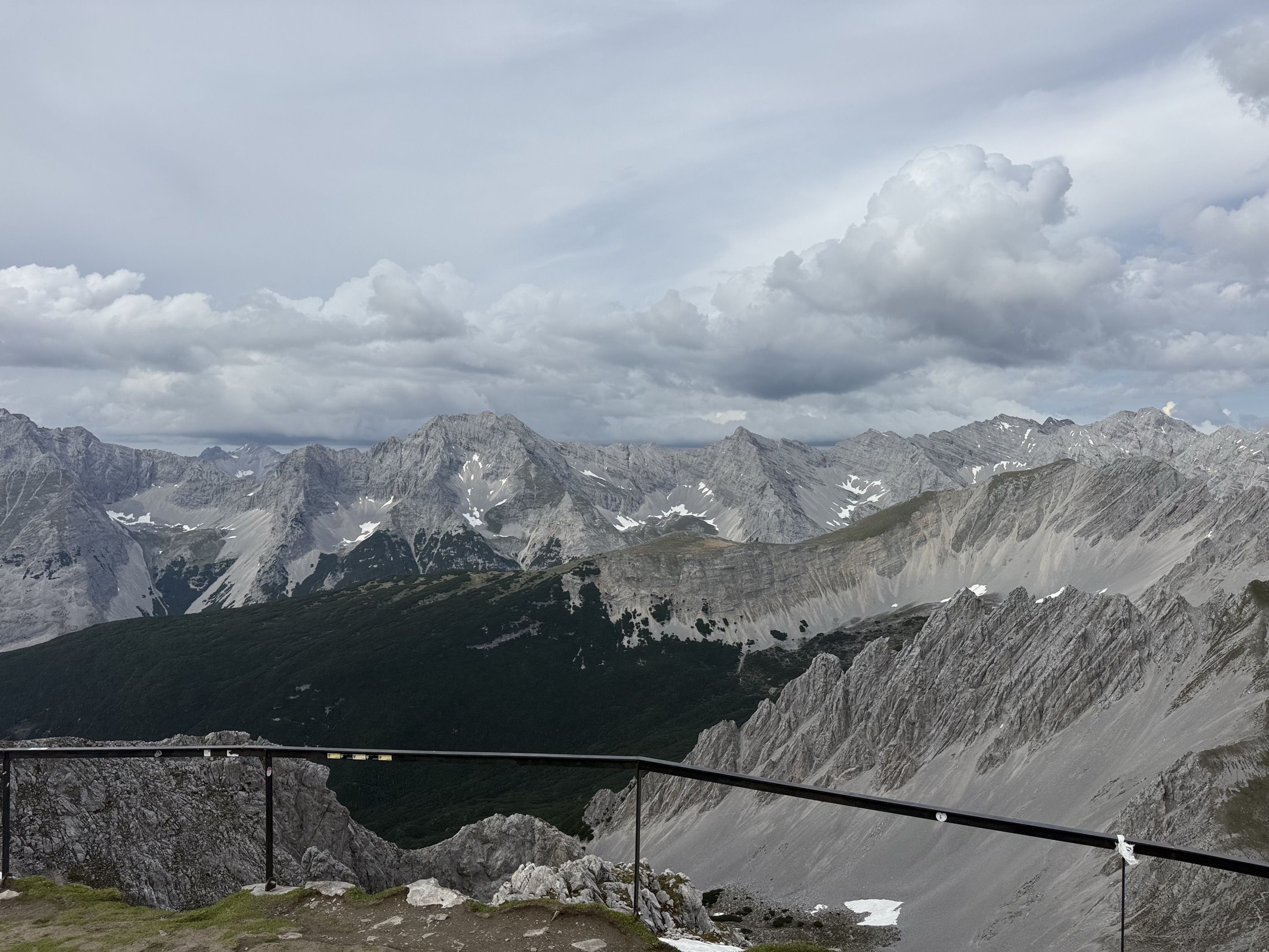
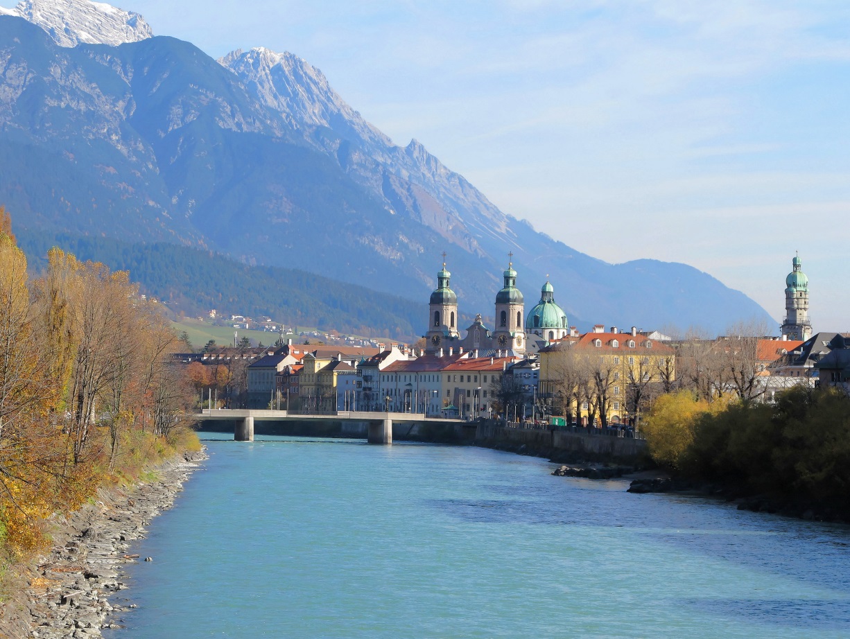
Tirol's capital pressed between the Nordkette wall and the Inn, a Habsburg old town around the Goldenes Dachl with cable cars running from the city centre to over 2,000 m.
Photo: Bbb · CC BY-SA 3.0 licence
- 43Highlights
- 79Routes
- Featured summit · Hafelekarspitze
Highlights
The 20 highest-rated · see the rest on innsbruck.info ↗
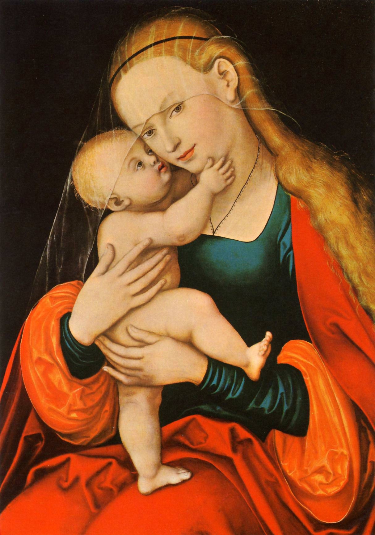
Dom zu St. Jakob
Innsbruck's baroque cathedral, rebuilt in the early 18th century, with Lucas Cranach the Elder's Mariahilf image on the high altar.
Goldenes Dachl
Innsbruck's landmark oriel, finished around 1500 for Emperor Maximilian I and roofed with about 2,657 gilded copper shingles.
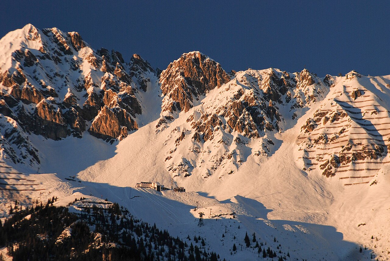
Innsbrucker Nordkettenbahnen
The lift chain from central Innsbruck via the Hungerburg funicular to Seegrube and the Hafelekar at over 2,200 m, with stations designed by Zaha Hadid.
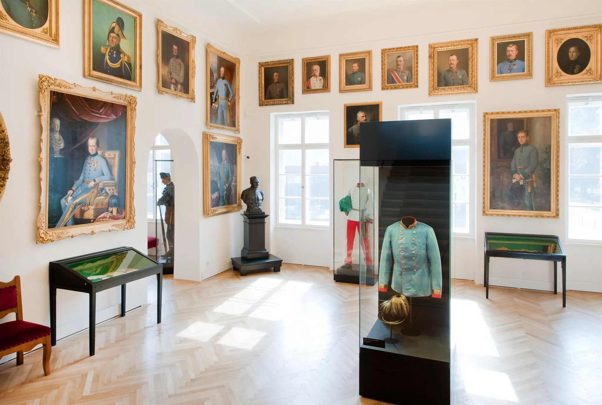
Kaiserliche Hofburg
The former Habsburg palace in central Innsbruck, remodelled under Maria Theresa in the 18th century and open as a museum with state apartments.
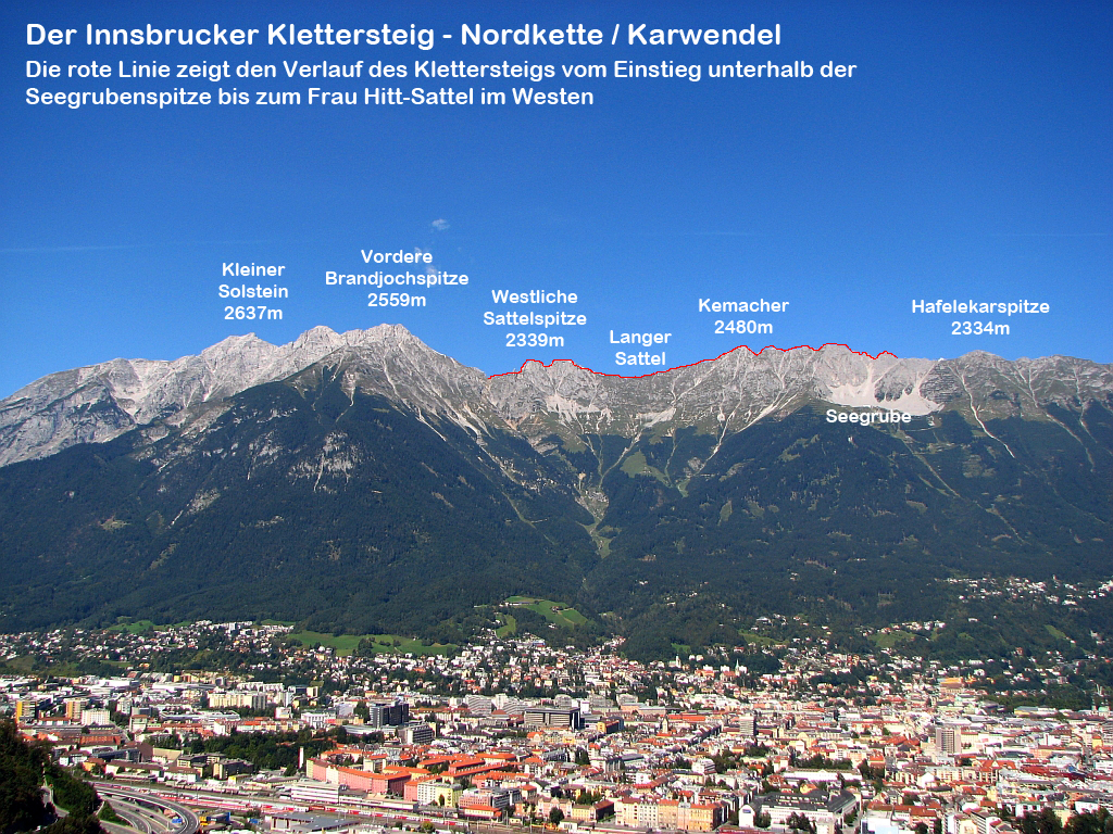
Innsbrucker Klettersteig
A via ferrata along the Nordkette ridge high above Innsbruck, a rocky traverse with wide views over the Inn valley.
Hofburg Innsbruck
The former Habsburg imperial residence in Innsbruck, rebuilt under Maria Theresa in the 18th century, with state rooms including the Giant's Hall.
Palmenhaus im Hofgarten
A historic glasshouse in Innsbruck's Hofgarten run by the Austrian federal gardens, sheltering palms and other exotic plants.
Pfarrkirche Mariahilf
A 17th-century parish church on the left bank of the Inn in Innsbruck, at the heart of the Mariahilf quarter facing the old town.
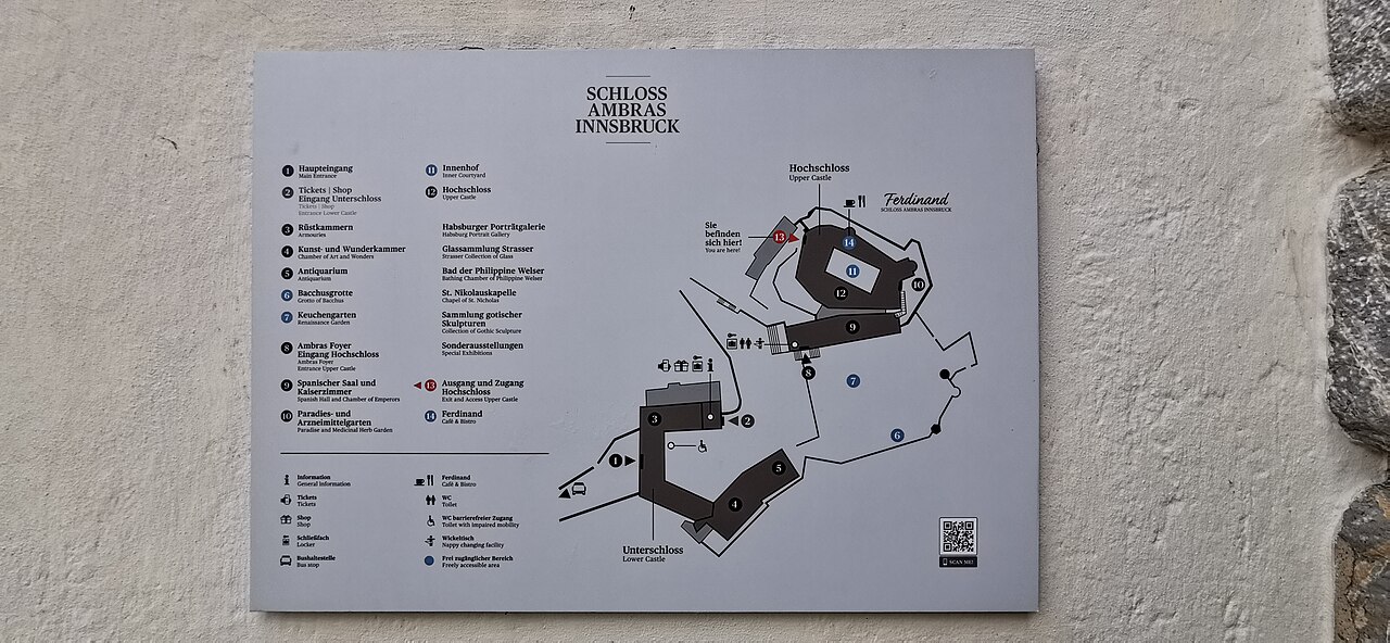
Schloss Ambras Innsbruck
A Renaissance castle above Innsbruck where Archduke Ferdinand II installed his collections; its Chamber of Art and Curiosities and Spanish Hall survive.
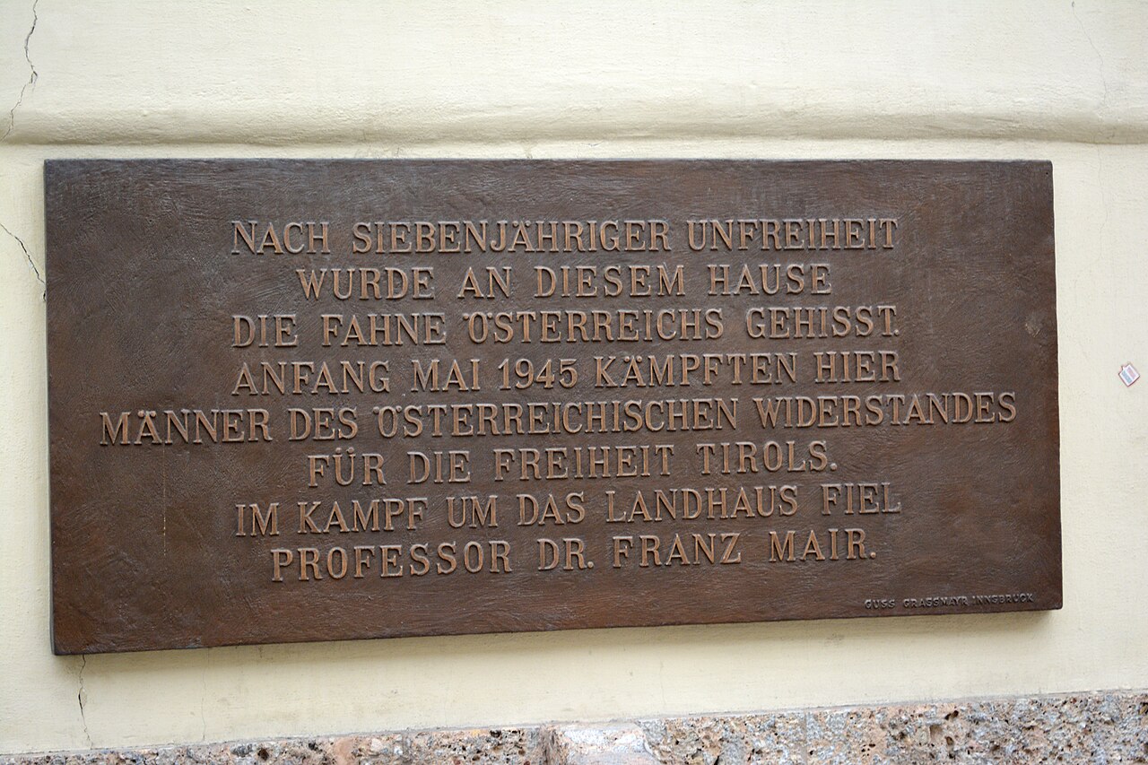
Altes Landhaus
A baroque palace on Innsbruck's Maria-Theresien-Straße, built in the 1720s and still the seat of the Tyrolean provincial government.
Basilika Wilten
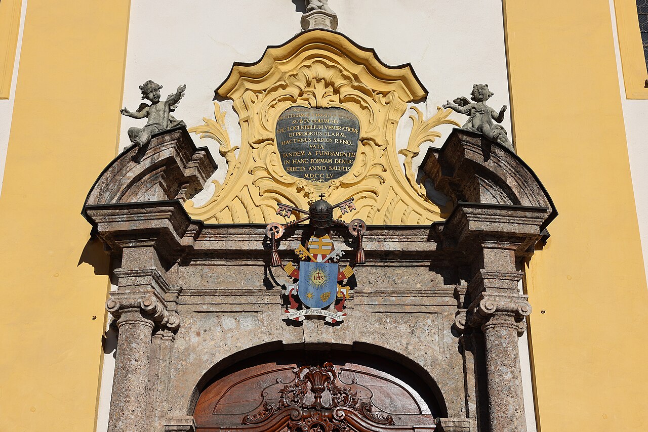
An 18th-century pilgrimage basilica in Innsbruck's Wilten district, with a rococo interior and a venerated image of the Virgin.
Botanischer Garten
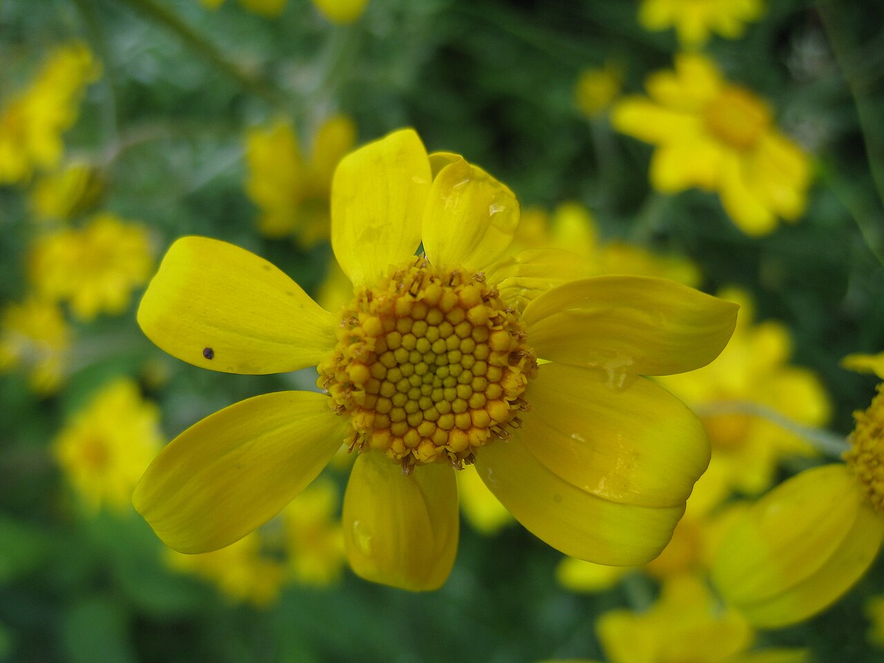
The botanic garden of the University of Innsbruck in the Hötting district, with themed plant collections and an alpine section.
Pfarrkirche St. Nikolaus
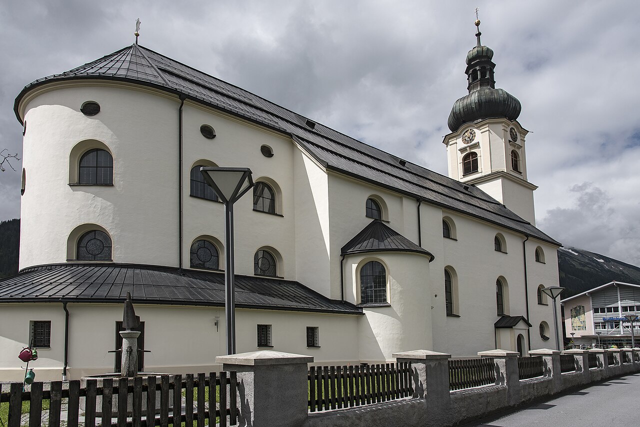
The parish church of Innsbruck's St. Nikolaus quarter on the left bank of the Inn, a 19th-century neo-Gothic building.
Triumphpforte
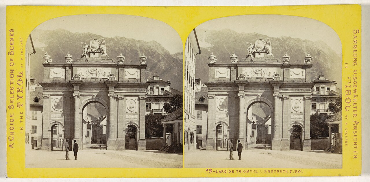
A triumphal arch at the south end of central Innsbruck, erected in 1765 for the wedding of Archduke Leopold and marking both celebration and mourning.
Badesee Rossau (Baggersee) Innsbruck
A former gravel pit in Innsbruck's Rossau district run as a public swimming lake, with lawns and facilities in the summer season.
Das Tirol Panorama
A museum at Bergisel above Innsbruck built around the giant 360-degree painting of the 1809 Tyrolean uprising led by Andreas Hofer.
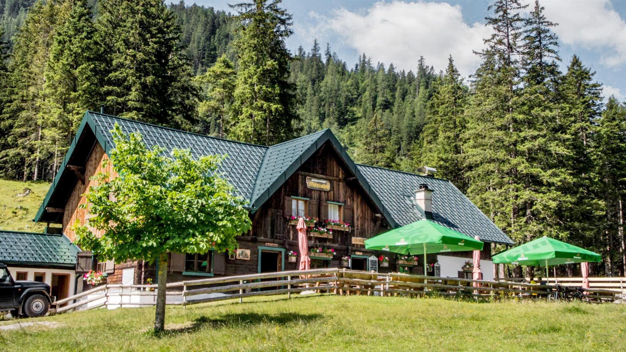
Möslalm
An alm in the Gleirschtal south-east of Scharnitz, a mountain-bike and walking destination in the inner Karwendel.
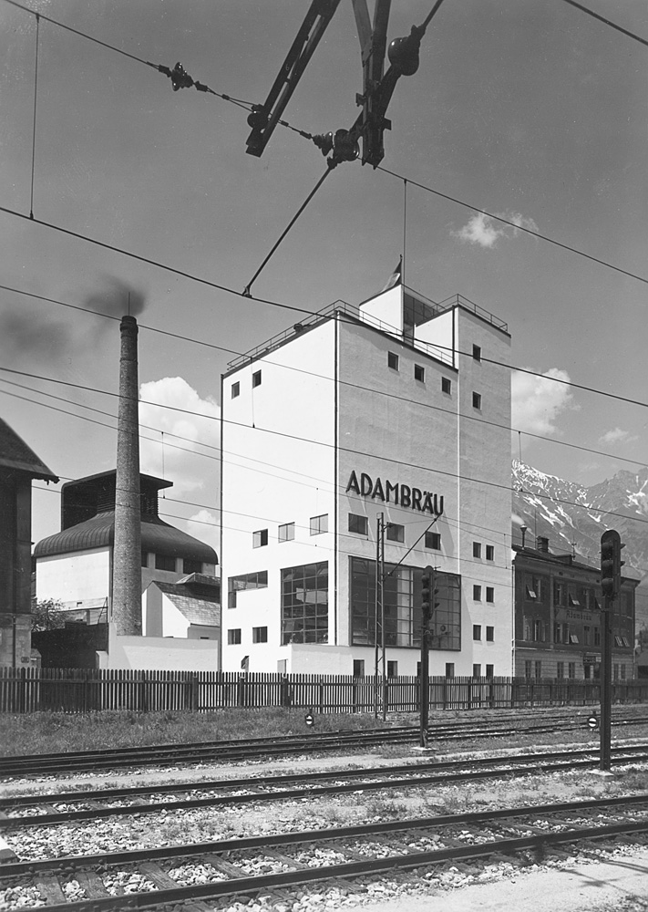
Adambräu Sudhaus
The brewhouse of the former Adambräu brewery by Innsbruck's main station, a 1920s industrial building now used by the architecture centre aut.
Alpenzoo
A zoo on the slope above Innsbruck devoted to the animals of the Alps, from ibex and bearded vultures to native fish in cold-water aquaria.
Bergisel Sprungschanze
The ski-jumping hill on the Bergisel above Innsbruck, rebuilt to a Zaha Hadid design in 2002 and a fixture of the Four Hills Tournament.
Nothing of this kind in Innsbruck.
Routes
50 routes, an even mix of activities · see the rest on innsbruck.info ↗
Hafelekarspitze
A ten-minute summit: from the Hafelekar top station of the Nordkettenbahn a gravel path leads to the 2,334 m peak directly above Innsbruck's rooftops.
- 682 m
- Distance
- 39 m
- Ascent
- 16 min
- Duration
- 75
- Check-ins
Goetheweg zur Arzler Scharte und Hungerburg
Ride the Nordkettenbahn to the Hafelekar, then traverse high above Innsbruck to the Arzler Scharte and descend past the Arzler Alm to the Hungerburg.
- 9.1 km
- Distance
- 333 m
- Ascent
- 2 h 58 min
- Duration
- 129
- Check-ins
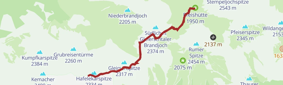
Adlerweg-Etappe 12: Hallerangerhaus - Nordkette Innsbruck
Eagle Walk stage crossing the Karwendel from the Hallerangerhaus to the Pfeishütte, then continuing over the Mühlkarscharte to the Nordkette lifts above Innsbruck.
- 18.0 km
- Distance
- 1 204 m
- Ascent
- 8 h 6 min
- Duration
- 169
- Check-ins
Skitour zur Seegrube
Steep skin from the Hungerburg above Innsbruck past the Bodenstein Alm to the Seegrube terrace on the Nordkette, gaining a full 1,000 m above the city.
- 5.0 km
- Distance
- 1 016 m
- Ascent
- 1 016 m
- Descent
- 3 h 16 min
- Duration
- 33
- Check-ins
Arzler Alm (505)
A short forest-road climb above Innsbruck, starting from the Hungerburg funicular station and ending at a working alm on the wooded slope.
- 6.1 km
- Distance
- 262 m
- Ascent
- 47 min
- Duration
- 35
- Check-ins
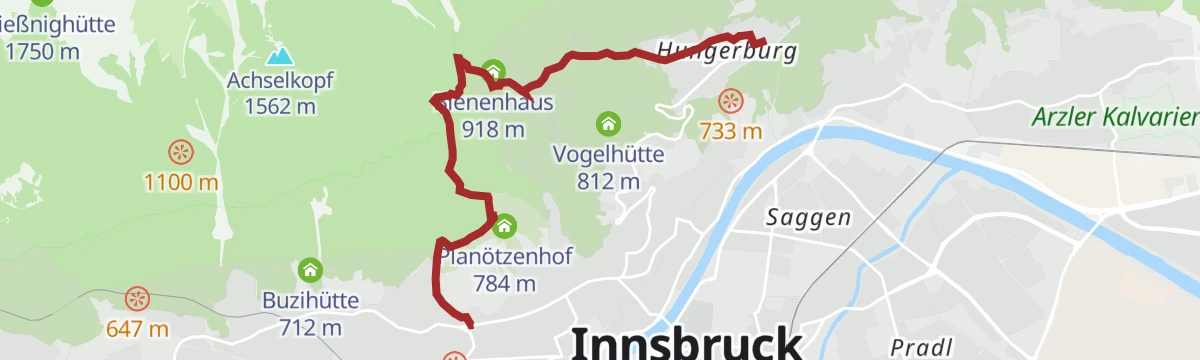
Gasthof Rauschbrunnen
A forest-road climb on the Hötting side of Innsbruck, running up past the Planötzenhof and the Höttinger Bild to an inn in the woods.
- 7.5 km
- Distance
- 435 m
- Ascent
- 1 h 9 min
- Duration
- 16
- Check-ins
Biketour Nr. 581 Gleirschtal-Pfeishütte
A long climb from Scharnitz through the Gleirschtal to the Pfeishütte at 1,950 m, with the Möslalm as a halt on the way up.
- 40.1 km
- Distance
- 1 153 m
- Ascent
- 4 h 39 min
- Duration
- 59
- Check-ins
Höttinger Höll
A road climb out of Innsbruck's old town up the western flank of the Nordkette, passing the quarry climbing crag above Hötting.
- 12.0 km
- Distance
- 370 m
- Ascent
- 1 h 25 min
- Duration
- 28
- Check-ins
Von Innsbruck nach Kühtai
A long road ride out of the Inn valley, climbing to the saddle at 2,017 m with the Dortmunder Hütte just below it.
- 106.6 km
- Distance
- 1 930 m
- Ascent
- 11 h 16 min
- Duration
- 86
- Check-ins
Perspektivenweg
Short panorama trail at the Seegrube high on Innsbruck's Nordkette, reached by cable car, with architect-designed viewpoints and lookouts set far above the city.
- 2.5 km
- Distance
- 144 m
- Ascent
- 1 h
- Duration
- 32
- Check-ins
Gleirschspitze und Hafelekarspitze
Twin-summit ridge walk on the Nordkette from the Hafelekar station, tagging two Karwendel tops either side of the Gleirschjöchl with Innsbruck 1,700 m below.
- 3.9 km
- Distance
- 558 m
- Ascent
- 3 h 14 min
- Duration
- 113
- Check-ins
Karwendel Höhenweg - Gehrichtung Reith-Scharnitz (Etappe 3): Solsteinhaus - Pfeishütte
Long, strenuous stage from the Solsteinhaus to the Pfeishütte, crossing the Gleirschjöchl and the Mühlkarscharte high above the Inntal; both endpoints have good public transport links.
- 17.5 km
- Distance
- 1 728 m
- Ascent
- 10 h 39 min
- Duration
- 154
- Check-ins
Pisten-skitour Patscherkofel
Fitness-oriented piste tour on Innsbruck's home mountain, climbing nearly 1,000 m in under 4 km from the valley station up to the Schutzhaus.
- 3.8 km
- Distance
- 958 m
- Ascent
- 958 m
- Descent
- 2 h 58 min
- Duration
- 29
- Check-ins
Heiligwasser (5064)
A short but steep forest-road climb above Igls, rising past the beginner lifts to the mountain inn on the Patscherkofel's lower slopes.
- 2.8 km
- Distance
- 321 m
- Ascent
- 44 min
- Duration
- 10
- Check-ins
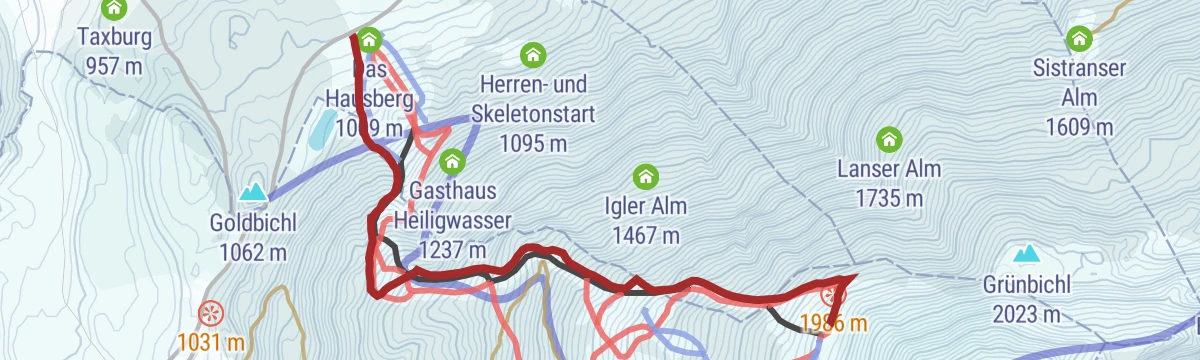
Patscherkofel Rundkurs (500)
A forest-road loop above Igls, running past the Gasthaus Heiligwasser and the men's skeleton start and over the Goldbichl knoll.
- 8.8 km
- Distance
- 354 m
- Ascent
- 1 h 7 min
- Duration
- 13
- Check-ins
Seegrube - Arzler Alm Trail (505-5007)
A long climb to the terrace station on the Nordkette, then a singletrack descent through the woods back to the Hungerburg above Innsbruck.
- 21.2 km
- Distance
- 1 118 m
- Ascent
- 3 h 3 min
- Duration
- 57
- Check-ins
Rennrad 17 Highway to Höll - auf den Spuren der Rad WM 2018
A long ride on the roads of the 2018 world championships, out along the Inn valley and up to the Hungerburg terrace above Innsbruck.
- 110.0 km
- Distance
- 1 100 m
- Ascent
- 10 h 47 min
- Duration
- 42
- Check-ins
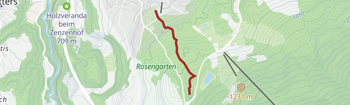
Höttinger Bild Weg
Short climb through the Hötting woods past the Planötzenhof to the little pilgrimage chapel, a favourite quick outing on Innsbruck's sunny slope.
- 5.3 km
- Distance
- 322 m
- Ascent
- 2 h 13 min
- Duration
- 28
- Check-ins
Auf dem Goetheweg zur Pfeishütte
From the Hafelekar the Goetheweg contours along the Nordkette's quieter north side, crossing the Mandlscharte before dropping to the Pfeishütte in the Karwendel.
- 10.4 km
- Distance
- 754 m
- Ascent
- 4 h 59 min
- Duration
- 107
- Check-ins
Adlerweg Etappe 12: Aus der Bergeinsamkeit in die Stadt
Karwendel crossing from the Hallerangerhaus over the Gleirschjöchl and the Pfeishütte to the Hafelekarspitze, a run of climbs and drops adding up to 1,949 m.
- 13.1 km
- Distance
- 1 907 m
- Ascent
- 10 h 6 min
- Duration
- 128
- Check-ins
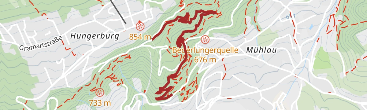
Arzler Alm Trail (5007)
A short, near-level singletrack descent through the woods above Innsbruck, passing the Bederlungerquelle viewpoint on the way down.
- 3.8 km
- Distance
- 22 m
- Ascent
- 21 min
- Duration
Vital Radweg vom Patscherkofel zum Glungezer - Route Süd
A gently graded mountain-bike route across the wooded terraces on the south side of the Inn valley, southeast of Innsbruck.
- 12.9 km
- Distance
- 220 m
- Ascent
- 1 h 21 min
- Duration
Seegrube Nordkette (506)
A steep forest-road climb from the Hungerburg up the north chain above Innsbruck to the mountain restaurant at 1,905 m, past the Arzler Alm.
- 10.1 km
- Distance
- 1 062 m
- Ascent
- 2 h 27 min
- Duration
- 57
- Check-ins
Bike & Hike Hoher Gleirsch, 2.492 m
A ride into the Gleirschtal from Scharnitz, past the Amtssäge and the Gleirschklamm viewpoint, before the walk up the Hoher Gleirsch.
- 31.3 km
- Distance
- 2 014 m
- Ascent
- 5 h 12 min
- Duration
- 39
- Check-ins
Hungerburg-Gramart-Höttingerbild
Nearly level stroll from the Hungerburg across the Gramart meadows to the pilgrimage chapel at the Höttinger Bild, returning through shady woods above Innsbruck.
- 5.2 km
- Distance
- 105 m
- Ascent
- 1 h 28 min
- Duration
- 25
- Check-ins
Brandjochkreuz ab der Seegrube
From the Seegrube cable-car station a traverse west along the Nordkette to the summit cross on the Brandjoch, returning by the Höttinger Alm and Umbrüggler Alm.
- 13.6 km
- Distance
- 663 m
- Ascent
- 4 h 54 min
- Duration
- 72
- Check-ins
Adlerweg-Etappe 12: Hallerangerhaus /Halleranger Alm– Nordkette Innsbruck
An 18 km traverse from the Hallerangerhaus to the Hafelekar on Innsbruck's Nordkette, passing the Zugspitzblick and the Pfeishütte before the city comes into view.
- 18.0 km
- Distance
- 1 223 m
- Ascent
- 10 h 26 min
- Duration
- 123
- Check-ins
Hungerburg Trail (596)
A half-kilometre singletrack link on the wooded slope above Innsbruck, at the foot of the Nordkette and part of the local trail network.
- 555 m
- Distance
- 0 m
- Ascent
- 3 min
- Duration
Patscherkofel-Gipfel (501)
A long forest-road climb from the Innsbruck valley floor to the Schutzhaus and the Gipfelstube at 2,242 m, with the Hochmahdalm on the way.
- 28.7 km
- Distance
- 1 463 m
- Ascent
- 4 h 2 min
- Duration
- 52
- Check-ins
Innsbruck - Mösern - Seefeld
A long road day from the Inn valley onto the plateau at Mösern, continuing through the Leutasch past the Seewaldalm and the Kreithalm.
- 88.7 km
- Distance
- 1 388 m
- Ascent
- 9 h 11 min
- Duration
- 34
- Check-ins
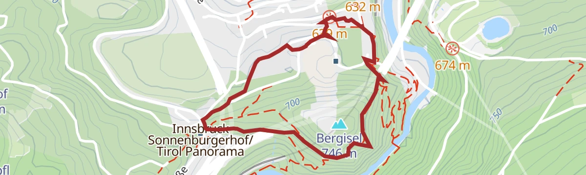
Panoramarunde Bergisel
Short loop on the Bergisel at Innsbruck's southern edge, passing the ski-jump stadium and the Bergisel Sky platform, easily reached by tram at the Wiltener Basilika.
- 2.2 km
- Distance
- 115 m
- Ascent
- 50 min
- Duration
- 25
- Check-ins
Wanderung über die Arzler Alm zur Höttinger Alm
Classic Nordkette outing from the Hungerburg above Innsbruck, contouring via the Arzler Alm to the Höttinger Alm with steady views over the Inn valley.
- 11.8 km
- Distance
- 675 m
- Ascent
- 4 h 45 min
- Duration
- 50
- Check-ins
Der Wilde Bande Steig
Demanding 18.7 km traverse on the path built in 1929 between the Lafatscher Joch and the Stempeljoch, with almost 2,000 m of climb by the Pfeishütte and the Mandlscharte.
- 18.7 km
- Distance
- 1 992 m
- Ascent
- 9 h 21 min
- Duration
- 92
- Check-ins
Stadtwaldtrail
A short, almost flat singletrack through the city forest above Innsbruck, between the Alpenzoo station and the Bederlungerquelle.
- 2.1 km
- Distance
- 26 m
- Ascent
- 13 min
- Duration
Höttinger Alm (505)
A long forest-road climb across the Innsbruck slope, linking the Arzler Alm and the Hungerburg with the high pasture at 1,487 m.
- 15.7 km
- Distance
- 730 m
- Ascent
- 2 h 5 min
- Duration
- 50
- Check-ins
Fernradweg München-Venezia: 2. Abschnitt, die Schatzkiste Tirol
A long-distance stage down the Inn valley to Innsbruck and then up the Wipptal to the Brenner Pass, with rail stops at Pill-Vomperbach and Steinach.
- 82.0 km
- Distance
- 1 563 m
- Ascent
- 8 h 45 min
- Duration
- 33
- Check-ins
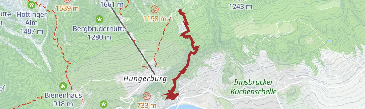
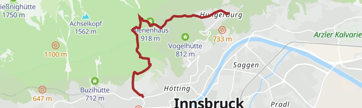
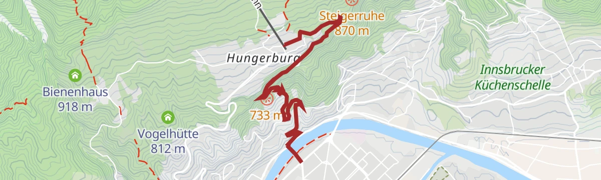
Über den Alpenzoo zur Hungerburg
Uphill city walk from the Inn past the Alpenzoo, Europe's highest-lying zoo, to the Hungerburg terrace, with the funicular handy for the return.
- 3.5 km
- Distance
- 322 m
- Ascent
- 2 h 1 min
- Duration
- 25
- Check-ins
 das hungerburg 862 m
- Cafe Pension Alpina 864 m
 Beaver 661 m
- Otter 668 m
Arzler Alm - Rumer Alm - Enzian Hütte
Three-hut traverse along the Nordkette's wooded lower slopes from the Hungerburg, stringing together the Arzler Alm, the Rumer Alm and the Enzianhütte.
- 7.8 km
- Distance
- 500 m
- Ascent
- 3 h 25 min
- Duration
- 35
- Check-ins
Der Goethe Weg in Tirol
From the Hafelekar top station of the Nordkettenbahn, a ridge route with repeated ups and downs to the Pfeishütte at 1,922 m, then down the Halltal to Absam.
- 15.9 km
- Distance
- 429 m
- Ascent
- 6 h 46 min
- Duration
- 89
- Check-ins
Nordkette Almenrunde
A hut-to-hut forest-road circuit on the slopes above Innsbruck, linking the Umbrüggler and Arzler pastures with the Sophien-Ruhe viewpoint.
- 19.0 km
- Distance
- 904 m
- Ascent
- 2 h 33 min
- Duration
- 50
- Check-ins
Innsbruck - Hinterhornalm
A road climb from Innsbruck's old town up the toll road above Thaur to the Hinterhorn Alm at 1,522 m, and the same way back.
- 41.5 km
- Distance
- 1 168 m
- Ascent
- 4 h 47 min
- Duration
- 21
- Check-ins
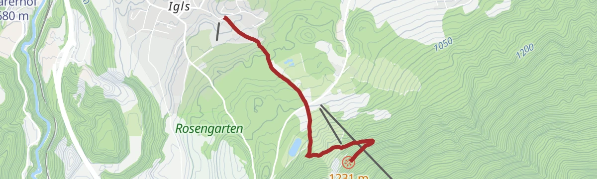
Igls - Schloss Ambras Innsbruck
Nearly level walk from Igls past the Großer Weiher and the Jausenstation Vogelhütte down to Schloss Ambras and its gardens on the edge of Innsbruck.
- 5.1 km
- Distance
- 29 m
- Ascent
- 1 h 16 min
- Duration
- 4
- Check-ins
- Großer Weiher 630 m
- Jausenstation Vogelhütte 833 m
- Tourismusbüro Igls 870 m
- Kneippanlage 868 m
Hungerburg - Rum
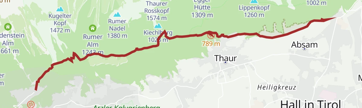
Traverse below the Nordkette from the Hungerburg to Rum, passing the Arzler Alm, the Noflhütte and the Rumer Alm on forest paths above the Inn valley.
- 8.0 km
- Distance
- 434 m
- Ascent
- 3 h 6 min
- Duration
- 27
- Check-ins
Hungerburg - Brandjochkreuz - Sadrach
Big Nordkette day from the Hungerburg over the Höttinger Alm to the cross on the Brandjoch, descending past the Umbrüggler Alm and Buzihütte to Sadrach.
- 15.4 km
- Distance
- 1 562 m
- Ascent
- 9 h 35 min
- Duration
- 63
- Check-ins
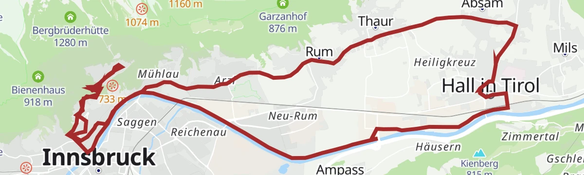
Über dem Inntal mittelschwere Rennradtour in Hall Tirol
A route high above the Inn valley from Hall in Tirol to the Hungerburg terrace at about 860 m on the north side of Innsbruck.
- 32.8 km
- Distance
- 424 m
- Ascent
- 3 h 18 min
- Duration
- 27
- Check-ins
Innsbruck Hochplateau Ride
A demanding tour over the terraces above the Inn valley, taking in the Goldbichl and a string of mid-mountain farms and inns.
- 107.7 km
- Distance
- 2 530 m
- Ascent
- 11 h 57 min
- Duration
- 21
- Check-ins
Igls - Archäologielehrpfad Goldbichl
Educational loop from Igls to the Goldbichl, a hilltop once used as a prehistoric cult and burnt-offering site, with information boards along the way.
- 3.4 km
- Distance
- 150 m
- Ascent
- 1 h 11 min
- Duration
- 2
- Check-ins
Abwechslungsreiche Wanderung entlang des Adolf- Pichler-Weges
An 11.3 km hillside route from Absam over meadows and through woods to the Hungerburg above Innsbruck, with 360 m of climb.
- 11.3 km
- Distance
- 340 m
- Ascent
- 3 h 22 min
- Duration
- 23
- Check-ins
Patscherkofel
Full ascent of Innsbruck's home mountain from the Igls side, climbing past Gasthaus Heiligwasser and through old stone-pine forest to the Schutzhaus near the summit.
- 10.2 km
- Distance
- 1 063 m
- Ascent
- 6 h 29 min
- Duration
- 32
- Check-ins
Über die MARTHA Dörfer und das Tulfer Plateau
A round over the mid-mountain villages east of Innsbruck, topping out near Rinn at about 930 m before dropping back to the valley floor.
- 39.5 km
- Distance
- 659 m
- Ascent
- 4 h 7 min
- Duration
- 3
- Check-ins
No routes of this kind in Innsbruck yet.
The region's own picks

Featured route
Hafelekarspitze
A ten-minute summit: from the Hafelekar top station of the Nordkettenbahn a gravel path leads to the 2,334 m peak directly above Innsbruck's rooftops.
Planning a trip to Innsbruck?
Everything else Tyrol has, in one place


Take Innsbruck with you into the mountains
Every route on this page with 3D terrain, GPX navigation and offline maps — including the valleys with no signal.
Data sources
- Official website: innsbruck.info ↗
- Routes and highlights: Innsbruck Tourismus, Region Hall-Wattens, Region Seefeld, Wilder Kaiser Tourismus, Alpbachtal Tourismus, Wipptal Tourismus
- Published as open data by the tourist boards named above.
- Region summary generated from the board's own material.
