
Curated by Alpenregion Vorarlberg
Innerbraz
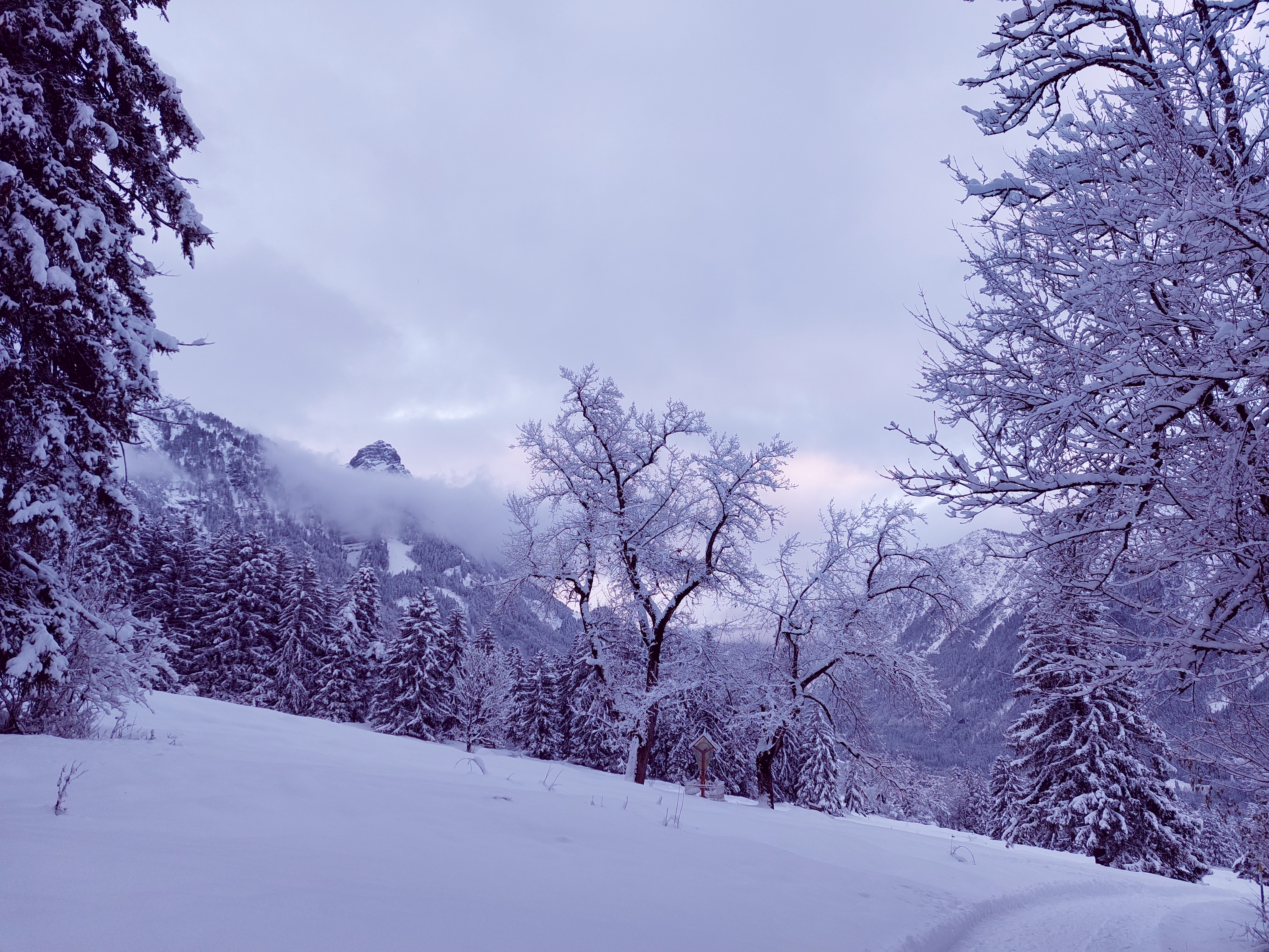
A Klostertal village at about 710 m on the sunny side of the Arlberg road between Bludenz and Dalaas, meadows below steep wooded slopes.
Photo: REGIO Klostertal licence
- 3Highlights
- 14Routes
Highlights
12 from neighbouring places
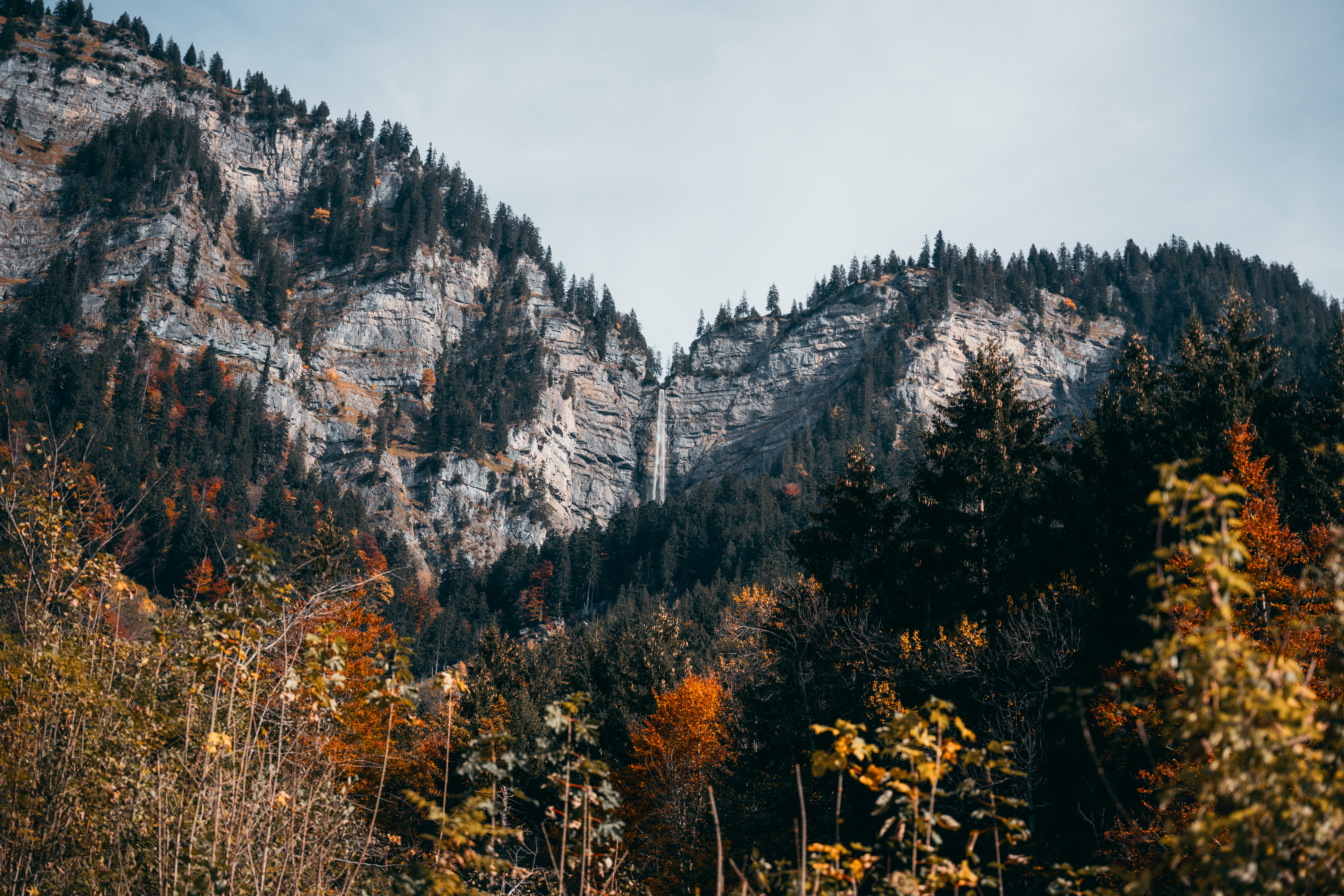
Mason-Wasserfall
One of the tallest waterfalls in Vorarlberg, a protected natural monument above Braz.
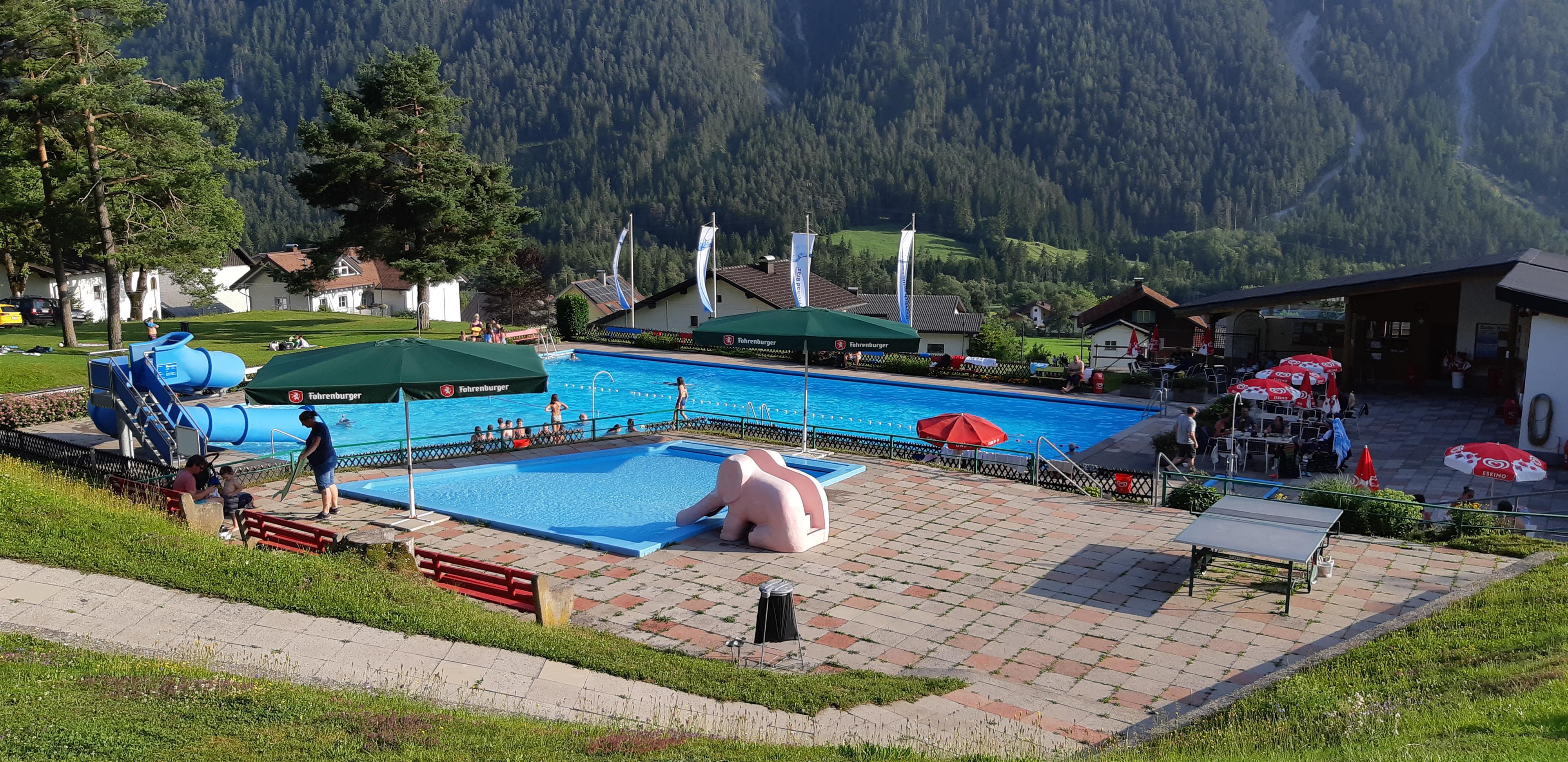
PeakVisor / OpenStreetMapFreibad Braz
The village open-air pool, where the valley cools off on a hot day.
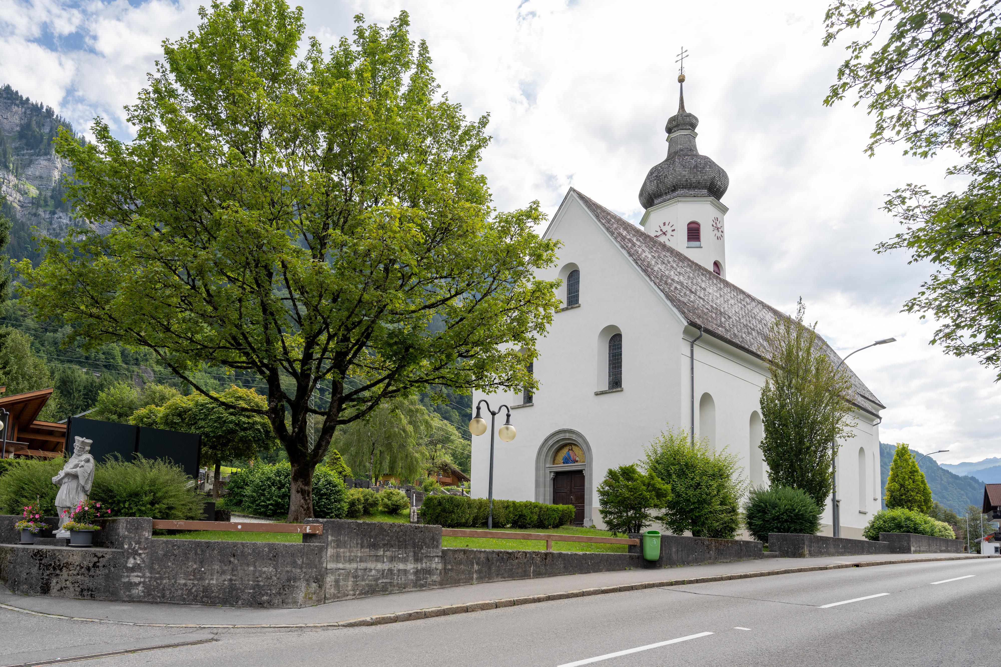
Pfarrkirche Hl. Nikolaus
The parish church of Braz, at the foot of the Klostertal.
Roggelskopf
2.2 km away, in Dalaas
The distinctive shape at the mouth of the Klostertal, the westernmost outpost of the Lechquellen range.
Alpe Latons
2.6 km away, in Bartholomäberg
A working alp with its own dairy, selling what it makes to walkers passing through.
Itonskopf
3.2 km away, in Bartholomäberg
The landmark summit above Bartholomäberg, with the Rätikon laid out opposite.
Wannaköpfle
3.6 km away, in Bartholomäberg
A summit on the Sonnenbalkon, reached from the village by way of Monteneu.
Gamsfreiheit
4 km away, in Bludenz
The high point of the ridge above the Muttersberg, looking into three valleys at once.
Davenna Kopf
4.2 km away, in Bludenz
A wooded summit on the Klostertal side of Bludenz, with the town laid out below.
Monteneu
4.3 km away, in Bartholomäberg
A shoulder on the way up to the Wannaköpfe, above the old mining ground.
Elser Novakopf
4.7 km away, in Raggal
A summit on the ridge above Marul, at the edge of the Faludriga-Nova reserve.
Almeinalpe
4.8 km away, in Bartholomäberg
An alp without a kitchen — the pasture and the buildings, and nothing sold.
Valleukapelle
4.8 km away, in Bartholomäberg
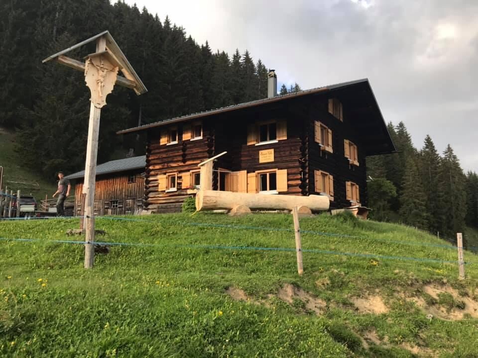
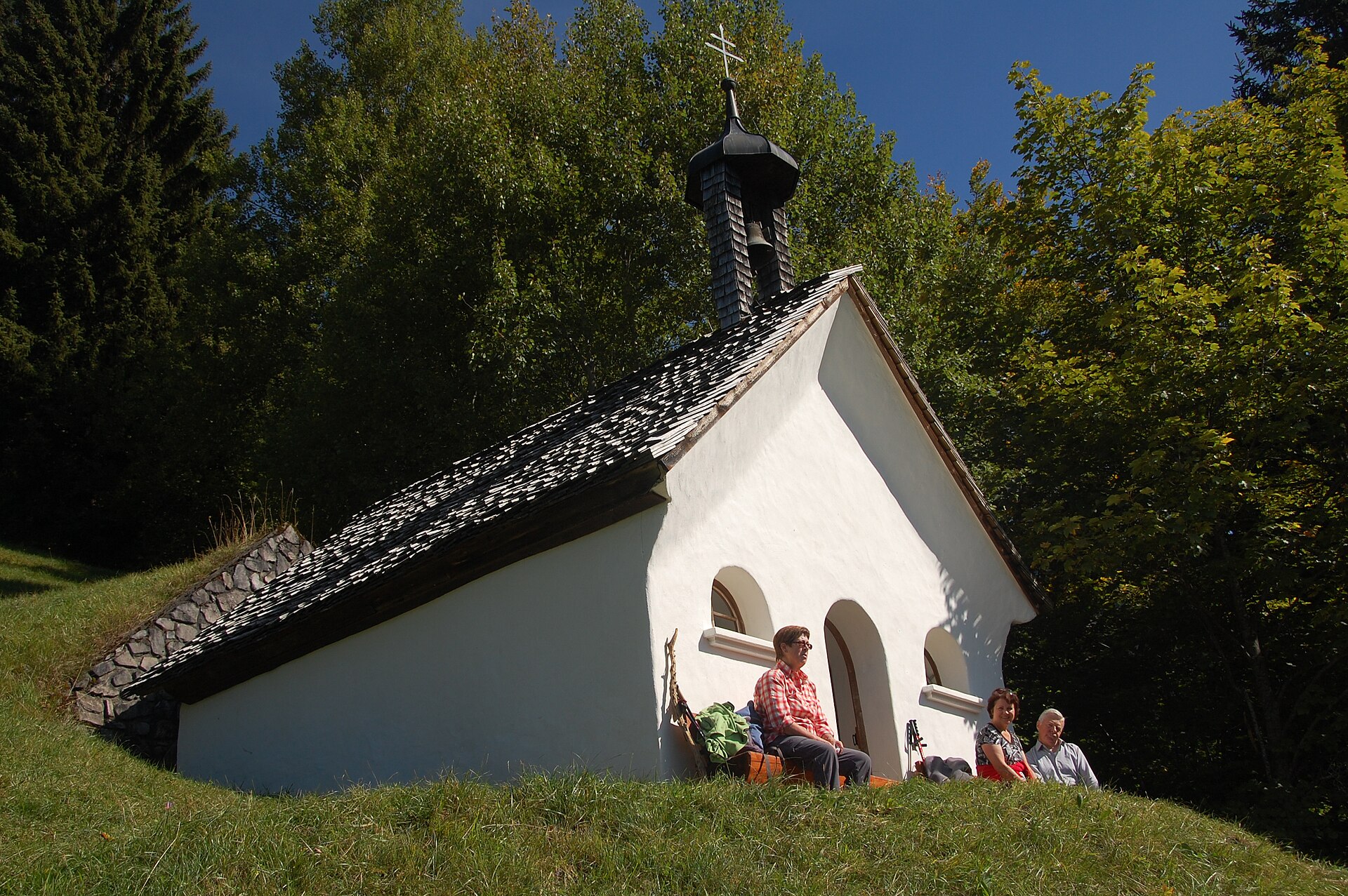
A chapel on the path towards the Spitzguf and the Davenna.
PeakVisor / OpenStreetMapFreiburger Hütte
4.9 km away, in Dalaas
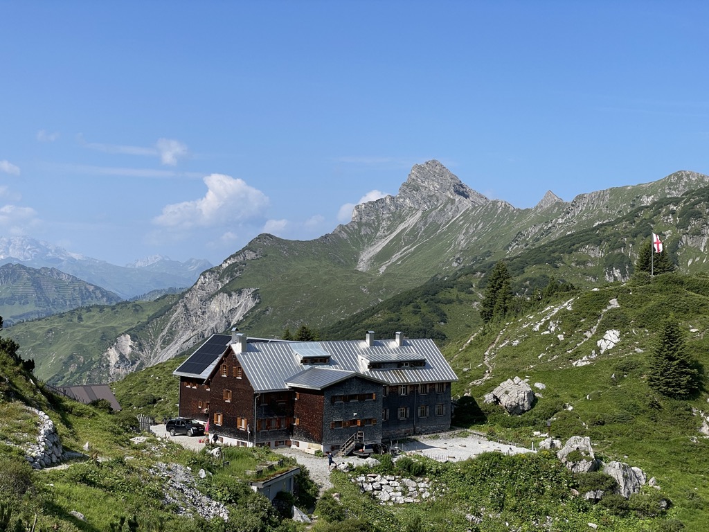
A DAV hut above the Formarinsee, looking straight across at the Rote Wand.
Pfarrkirche St. Oswald
5.1 km away, in Dalaas
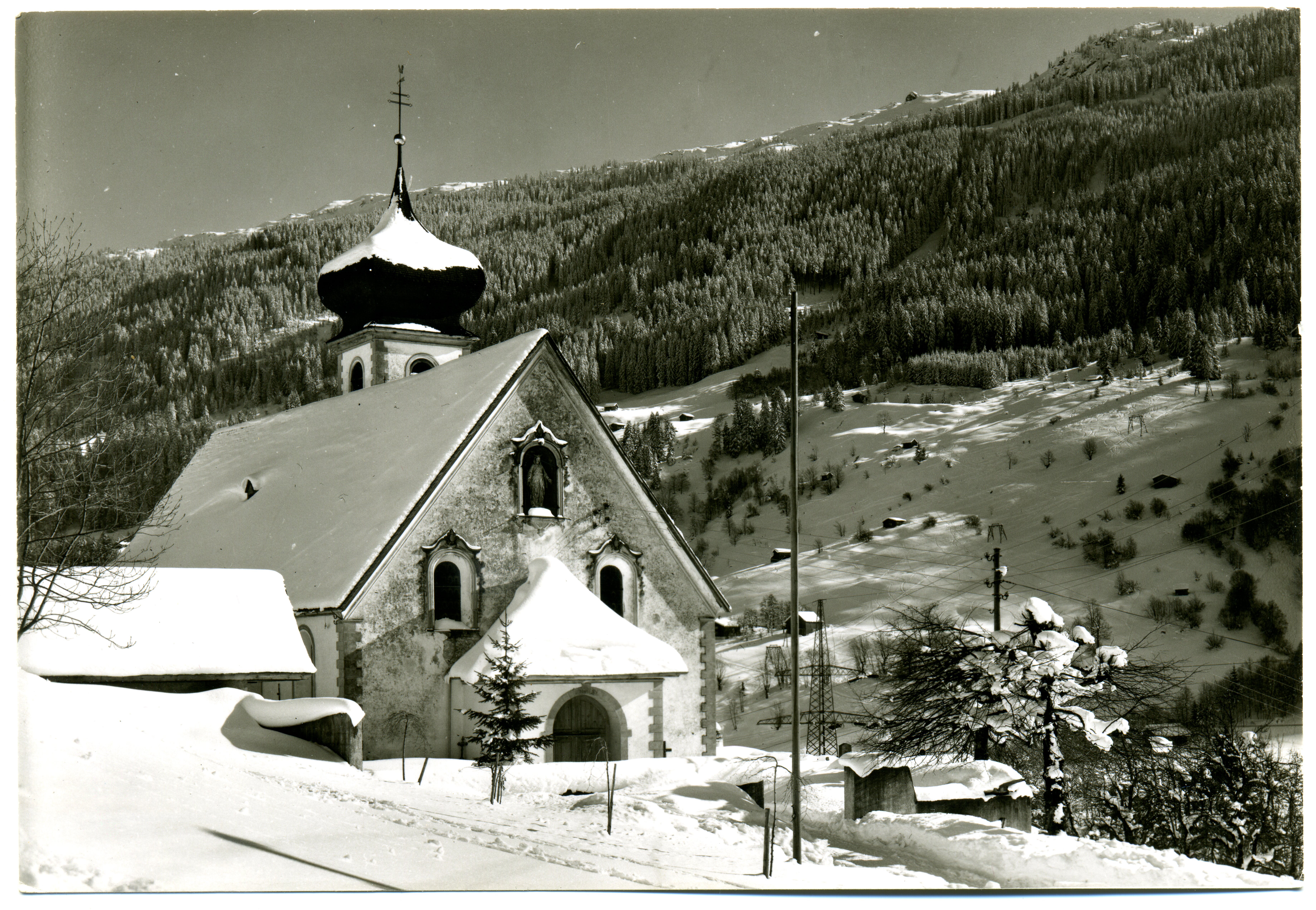
Gothic at heart and consecrated in 1507, given its baroque and 19th-century dress later, under an onion dome.
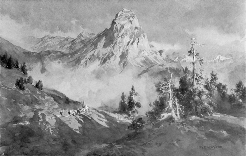
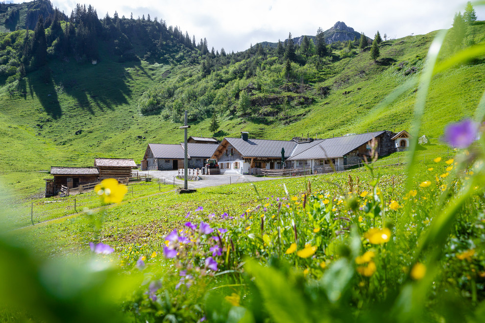
 Mountain hut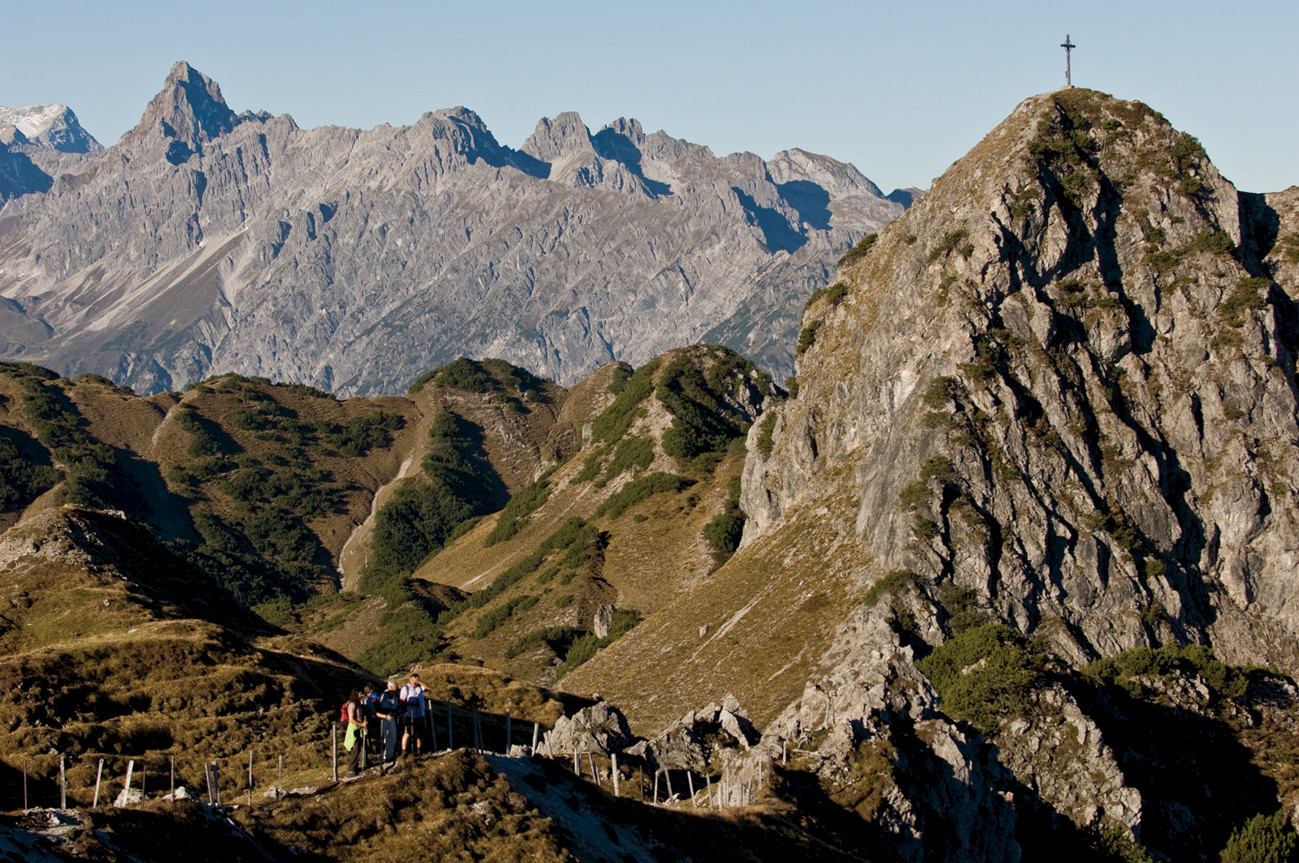
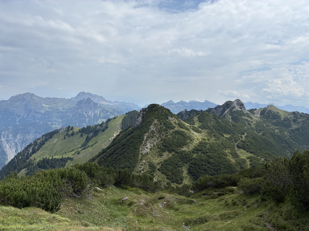
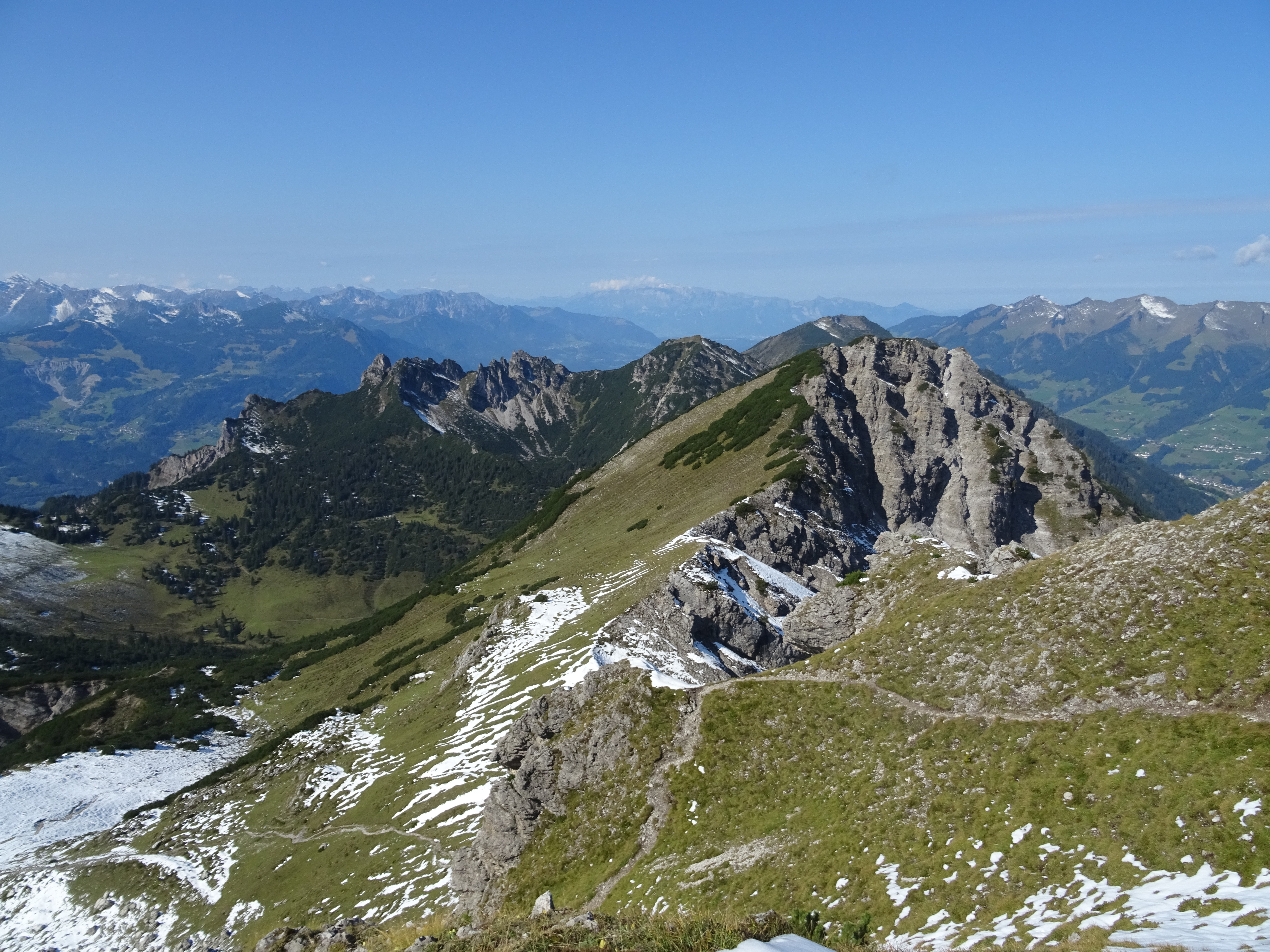
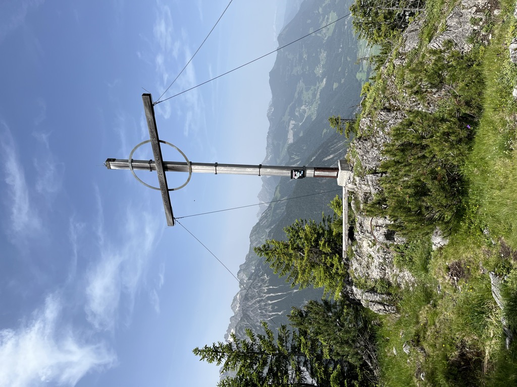
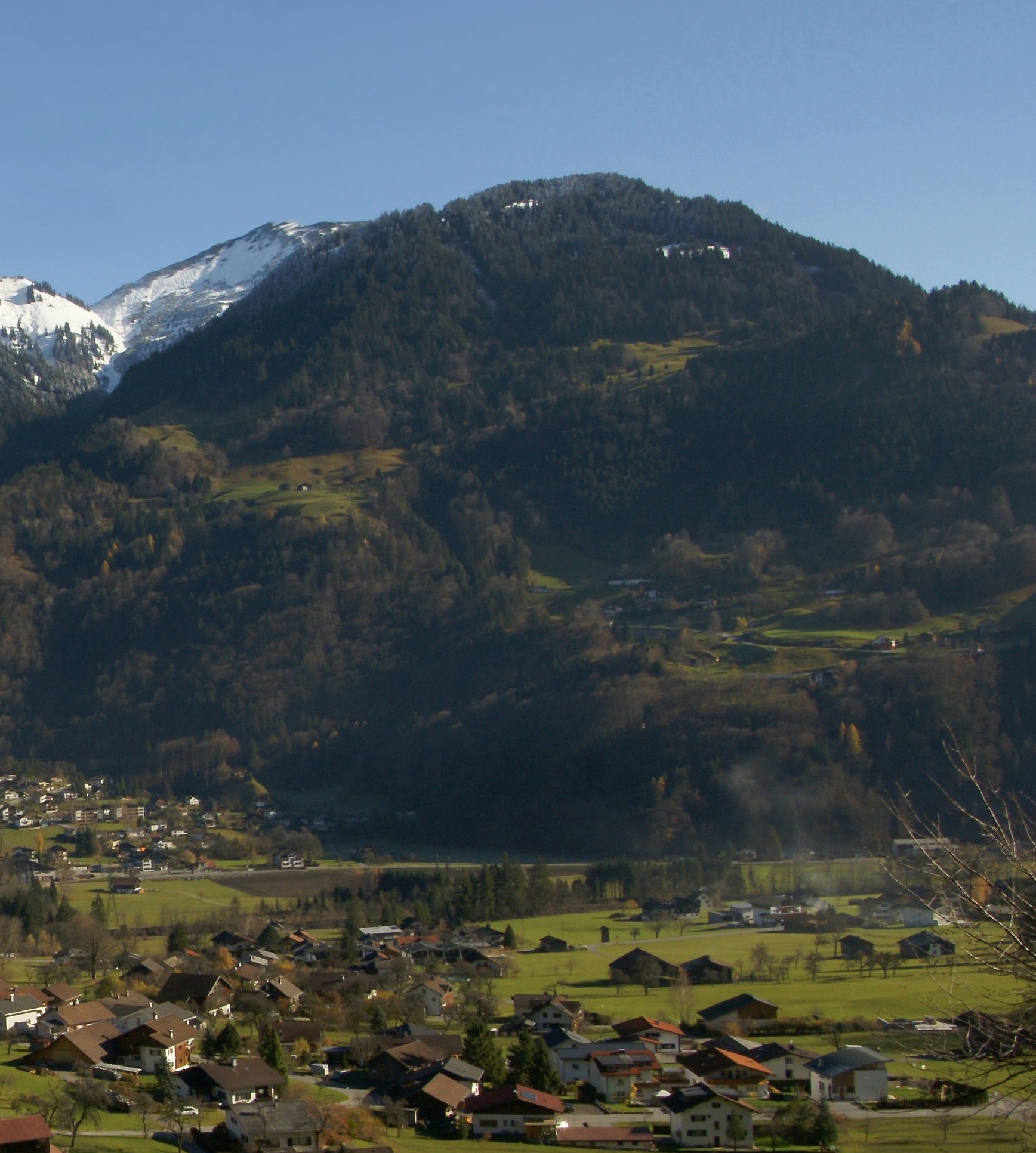
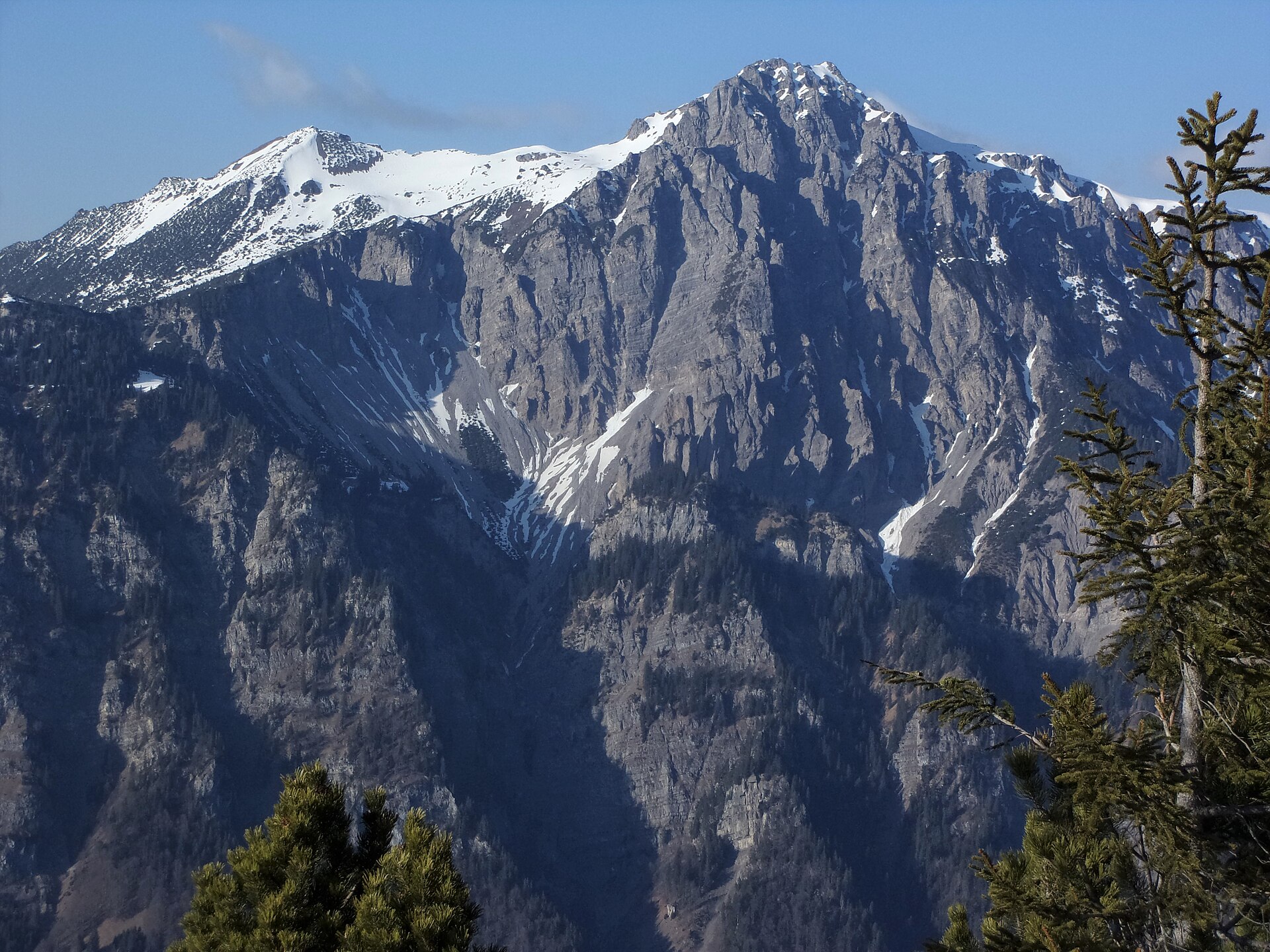
Nothing of this kind in Innerbraz.
Routes
Klostertaler Klettersteig am Fallbach
The Klostertal via ferrata at the Fallbach, a rock route opened beside one of Vorarlberg's tallest waterfalls.
- 5.6 km
- Distance
- 734 m
- Ascent
- 5 h 24 min
- Duration
Open route Alpenregion VorarlbergAllmeinweg
An easy walk above Braz, open to the Klostertal and the Roggelskopf.
- 4.7 km
- Distance
- 62 m
- Ascent
- 1 h 15 min
- Duration
Open route Alpenregion VorarlbergAlfenz-Rundweg
An easy winter round along the Alfenz as it runs through Braz.
- 7.6 km
- Distance
- 71 m
- Ascent
- 1 h 58 min
- Duration
Open route Alpenregion Vorarlberg2-Tages-Tour Formarinsee
A two-day round in the Lechquellen mountains to the Formarinsee, a lake the country counts among its finest places.
- 18.8 km
- Distance
- 1 544 m
- Ascent
- 9 h 35 min
- Duration
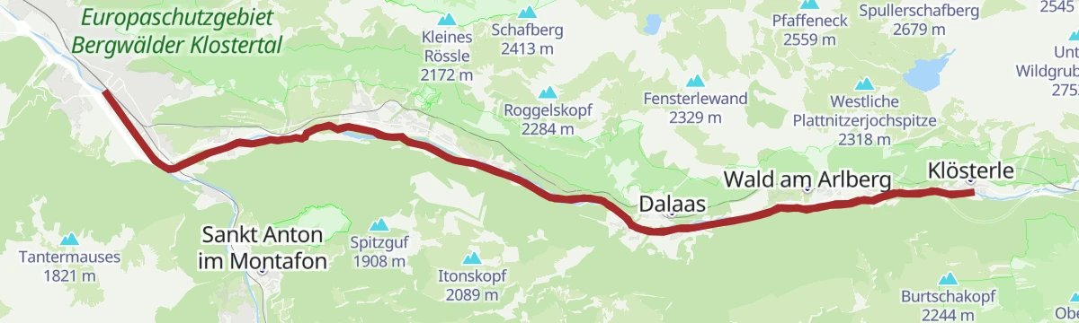
Open route Alpenregion VorarlbergKlostertal Radweg
The Klostertal cycle way, running the length of the valley from Bludenz up to Klösterle and back.
- 47.3 km
- Distance
- 540 m
- Ascent
- 4 h 42 min
- Duration
Open route Alpenregion VorarlbergRundwanderung Unterrifats
A round along the shaded bank of the Alfenz, past the golf course on the north side of the valley.
- 5.0 km
- Distance
- 73 m
- Ascent
- 1 h 21 min
- Duration
Open route Alpenregion VorarlbergGavaralpe
Across flower meadows to the Gavaralpe, on the shelf above Braz and Dalaas.
- 12.0 km
- Distance
- 738 m
- Ascent
- 4 h 51 min
- Duration
Open route Alpenregion Vorarlberg2-Tages-Tour Formarinsee (Etappe 1)
The first day of a two-day round in the Lechquellen mountains, ending at the Formarinsee.
- 10.5 km
- Distance
- 1 523 m
- Ascent
- 6 h 31 min
- Duration
Open route Alpenregion VorarlbergWasserstubental Tour
A long ride from the Montafon up the Wasserstubental to the Sonnenkopf and down into the Klostertal.
- 57.9 km
- Distance
- 1 285 m
- Ascent
- 6 h 21 min
- Duration
Open route Vorarlberg TourismusRundwanderweg Allmeinkreuz
A round above Braz looking across at the Roggelskopf, the most distinctive shape on that side.
- 5.2 km
- Distance
- 195 m
- Ascent
- 1 h 41 min
- Duration
Open route Alpenregion VorarlbergMason-Wasserfall
An interpretive path to the Mason waterfall in Braz, in the Klostertal.
- 7.9 km
- Distance
- 567 m
- Ascent
- 3 h 47 min
- Duration
Open route Alpenregion Vorarlberg3-Tages-Hüttentour Faludriga Nova
Three days from the Muttersberg cable car over the Frassenhütte and the Freiburger Hütte down to Außerbraz.
- 33.9 km
- Distance
- 2 830 m
- Ascent
- 18 h
- Duration
Open route Alpenregion VorarlbergZum Naturdenkmal "Fallbach"
An unhurried walk to the Fallbach, a protected natural monument and one of the tallest waterfalls in Vorarlberg.
- 5.1 km
- Distance
- 55 m
- Ascent
- 1 h 26 min
- Duration
Open route Alpenregion VorarlbergJakobsweg: Klösterle am Arlberg bis Bludenz
The stretch of the Way of St James that runs from Klösterle down the Klostertal to Bludenz.
- 24.8 km
- Distance
- 361 m
- Ascent
- 7 h 10 min
- Duration
Open route Alpenregion Vorarlberg




No routes of this kind in Innerbraz yet.
Planning a trip to Innerbraz?
Everything else Vorarlberg has, in one place


Take Innerbraz with you into the mountains
Every route on this page with 3D terrain, GPX navigation and offline maps — including the valleys with no signal.
Data sources
- Official website: vorarlberg-alpenregion.at ↗
- Routes and highlights: Alpenregion Vorarlberg, PeakVisor / OpenStreetMap, Montafon Tourismus, Vorarlberg Tourismus
- Published as open data by the tourist boards named above.
- Region summary generated from the board's own material.
