








Curated by APT San Martino di Castrozza, Primiero e Vanoi
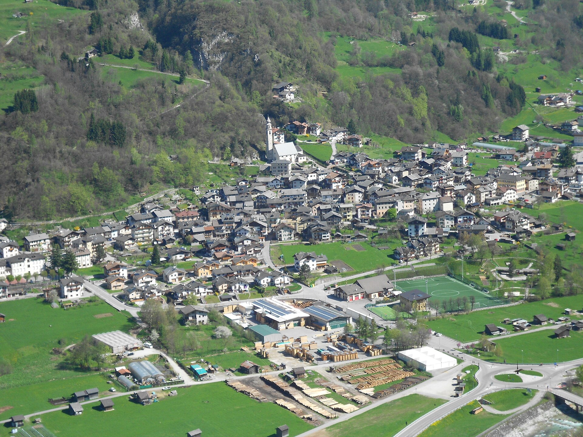
Imer
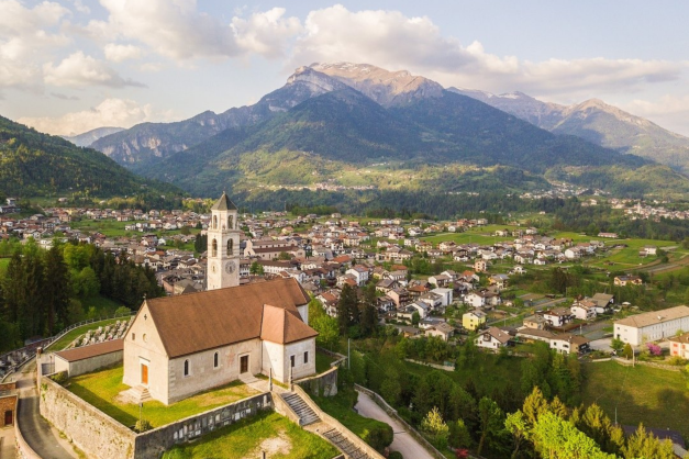
First village inside the Primiero after the Schener gorge, on the fan of the San Pietro stream below Monte Bedolé.
Photo: Tn3480 · CC BY-SA 3.0 licence
- 10Highlights
- 32Routes
- Featured summit · Cima Tognazza
Highlights
All 10 from neighbouring places
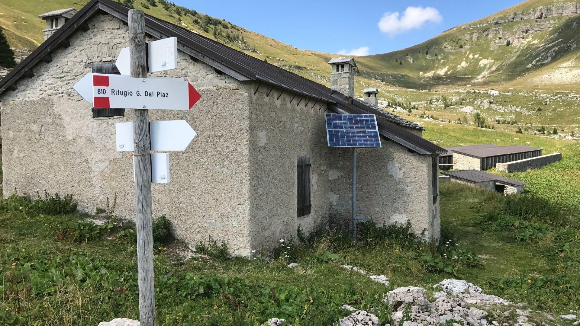
Malga Monsampian
4.9 km away, in Sovramonte
An alpine pasture hut above Sovramonte, on the grassland below the Vette Feltrine in the Dolomiti Bellunesi national park.
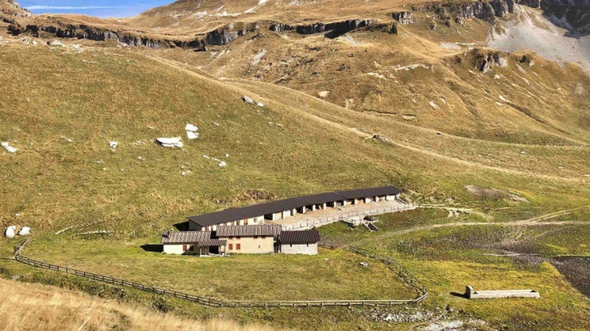
Malga Vette Grandi
5.7 km away, in Sovramonte
A malga on the high pastures of the Vette Feltrine above Sovramonte, inside the Dolomiti Bellunesi national park.
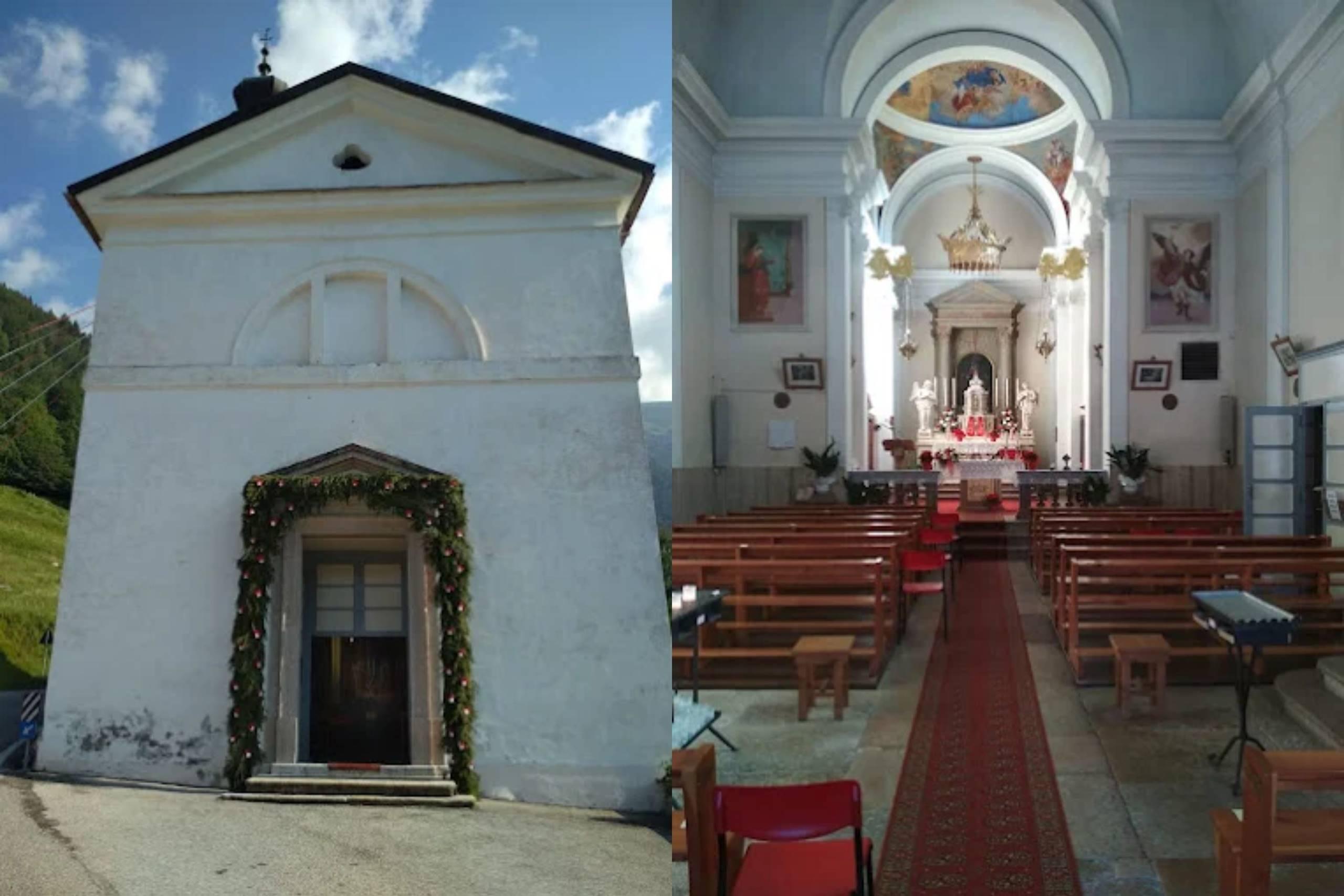
Chiesa di S. Pietro Apostolo
6.3 km away, in Sovramonte
A church dedicated to Peter the Apostle in Sovramonte, the valley of scattered villages above the Cismon, north-west of Feltre.
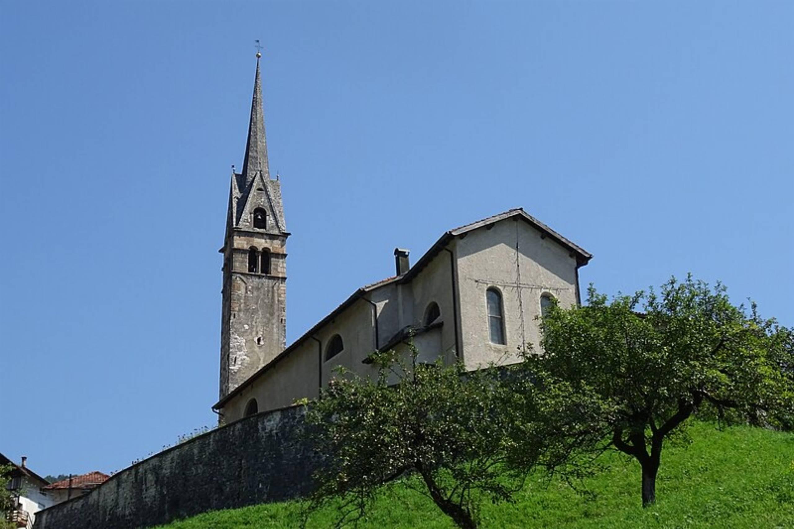
Chiesa di Santa Maria Assunta
8.2 km away, in Sovramonte
A church of Santa Maria Assunta in Sovramonte, on the slopes below the Vette Feltrine in the Dolomiti Bellunesi national park.
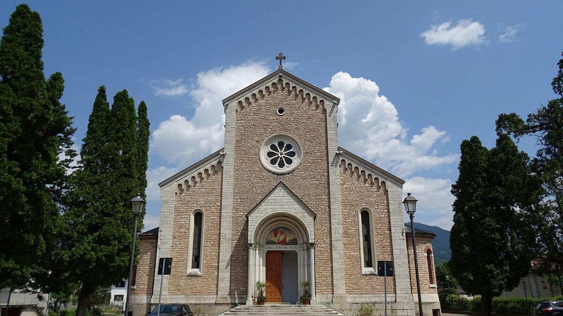
Chiesa del Sacro Cuore di Gesù
7.9 km away, in Lamon
A church at Lamon, on the plateau between the Cismon and the Senaiga in the western Feltrino.
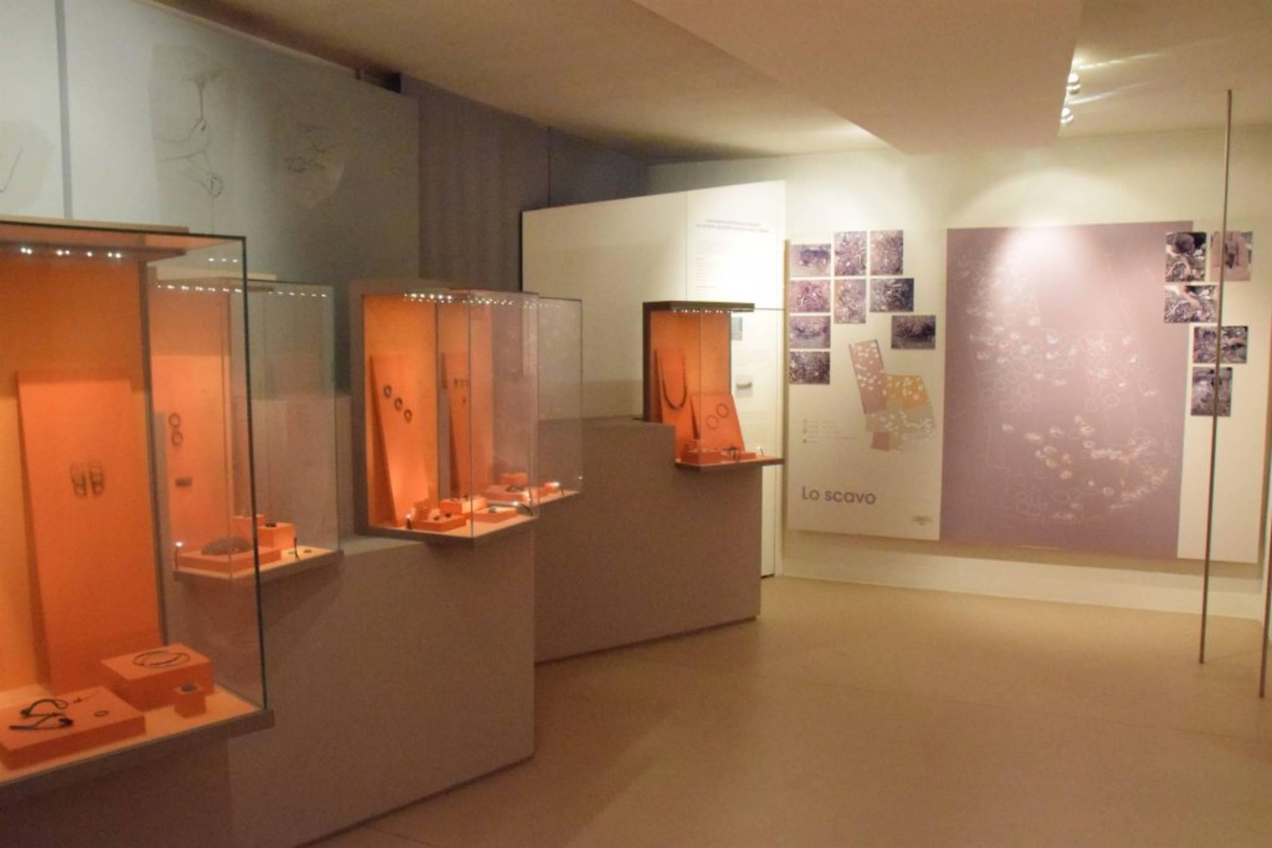
Museo Civico Archeologico
9.9 km away, in Lamon
The civic archaeological museum of Lamon, holding finds from the plateau between the Cismon and the Senaiga.
Chiesa di San Daniele
10.2 km away, in Lamon
A church in the Lamon area, on the high ground west of Feltre near the Trentino border.
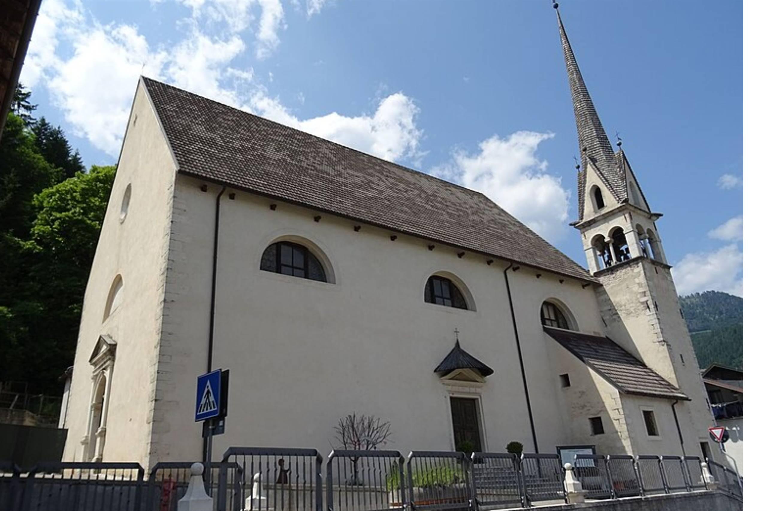
Chiesa di San Pietro Apostolo
10.3 km away, in Lamon
The parish church of Lamon, standing on the plateau above the Senaiga valley.
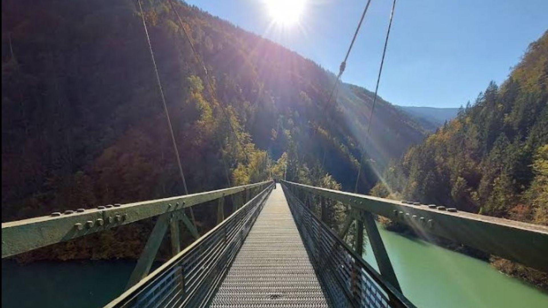
Passerella sul Lago Senaiga
11.7 km away, in Lamon
A footbridge crossing the reservoir of Lago Senaiga, in the wooded valley below the plateau of Lamon.
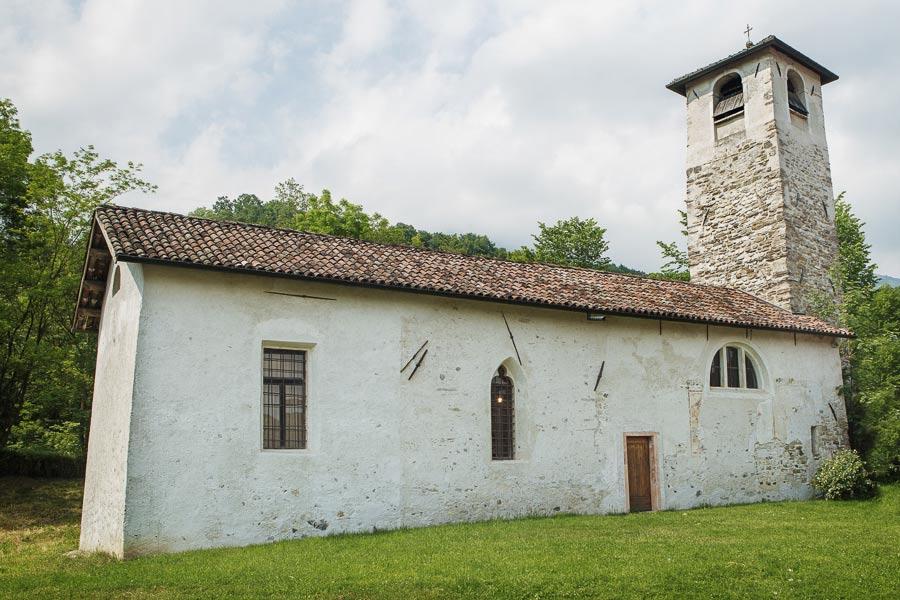
Chiesa di San Marcello a Umin
13.3 km away, in Feltre
A church at Umin, one of the hamlets of Feltre in the hills of the Valbelluna.
Nothing of this kind in Imer.
Routes
Ferrata di San Silvestro
A short via ferrata built in 2025 below the San Silvestro church on Monte Totoga, in two mostly easy sections with a few harder, slightly exposed moves.
- 3.3 km
- Distance
- 531 m
- Ascent
- 3 h 44 min
- Duration
- 3
- Check-ins
Open route APT San Martino di Castrozza, Primiero e VanoiLago Schener D
A stretch beside the Schener reservoir on the Cismon below Imer, in the Primiero.
- 5.2 km
- Distance
- 233 m
- Ascent
- 1 h 48 min
- Duration
- 4
- Check-ins
Scanaiol Ridges
A high walk between the Tognola hut and Malga Scanaiòl, taking in Cima Tognazza, with lift stations at several points along the crest.
- 9.2 km
- Distance
- 235 m
- Ascent
- 3 h 35 min
- Duration
- 39
- Check-ins
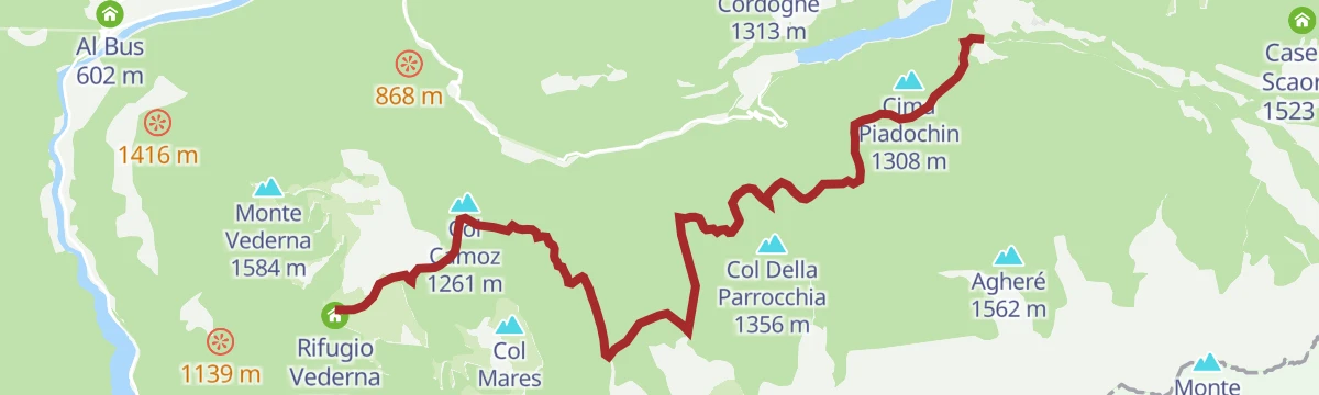
Open route APT San Martino di Castrozza, Primiero e VanoiPrimiero Slow Tour 5th leg (Rifugio Vederna - Fiera di Primiero)
A long descent from the Vederna hut by the Monte Vederna cross, with the Primiero valley and the Pale group in view, then down Val Caora to Val Noana.
- 16.9 km
- Distance
- 507 m
- Ascent
- 5 h 47 min
- Duration
- 14
- Check-ins
 Col dela Stangada 1 398 m
 Rifugio Vederna 1 324 m
- Azienda per il turismo San Martino Di Castrozza 707 m
Open route APT San Martino di Castrozza, Primiero e VanoiValsorda Enduro Trail - Malga Fiamèna - Route 2272
A long enduro circuit from the Tognola over the Forcella Calaita, taking in the Malga Doch and the Malga Tognòla.
- 40.0 km
- Distance
- 1 718 m
- Ascent
- 5 h 32 min
- Duration
- 102
- Check-ins
- Tognola 2 142 m
- Malga Doch 1 610 m
- Malga Tognòla 1 988 m
- Malga Fratazza 1 453 m
 Forcella Calaita 1 663 m
- Skibar Scandola 1 870 m
- +4
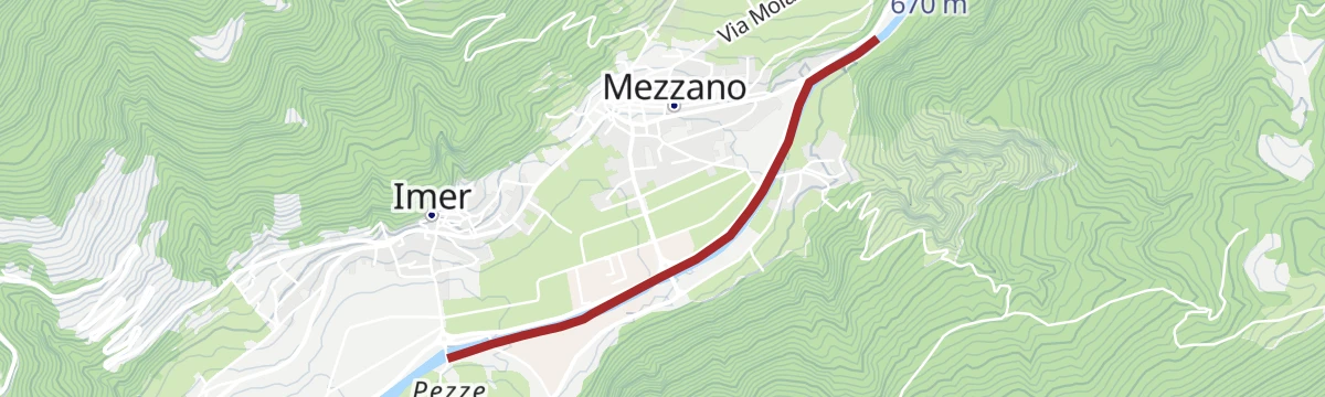
Open route APT San Martino di Castrozza, Primiero e VanoiPrimiero Valley cycling route
A short, near-level cycle path along the valley floor from Imèr through Mezzano, under the peaks of the Pale di San Martino.
- 9.4 km
- Distance
- 162 m
- Ascent
- 57 min
- Duration
- 9
- Check-ins
Open route VisitTrentinoBy e-bike to Rifugio Bruno Boz
A long climb inside the Belluno Dolomites park, on dirt and paved roads up the south side of the Vette Feltrine to the refuge at 1,718 m.
- 47.0 km
- Distance
- 2 686 m
- Ascent
- 7 h 12 min
- Duration
- 37
- Check-ins
- Rifugio Bruno Boz 1 718 m
- Rifugio Vederna 1 324 m
- Bivacco Invernale Matteo Fiori 1 727 m
- Malga Neva Seconda 1 746 m
- Rifugio Fonteghi 1 100 m
- Casina Forestale di Valpiana 1 132 m
- +2
Open route CAI Dolomiti BellunesiRio Tognola B6
An almost flat path high above Imer, running past the Scandola lift station and its mountain bar at about 1,870 m.
- 3.2 km
- Distance
- 0 m
- Ascent
- 1 h 15 min
- Duration
- 3
- Check-ins
Open route Trentino FishingPanoramic Trek Alpe Tognola
A high traverse from the Tognola hut over Forcella Scanaiòl, facing the Pale di San Martino with the Lagorai chain ahead.
- 6.8 km
- Distance
- 362 m
- Ascent
- 2 h 36 min
- Duration
- 37
- Check-ins
Open route APT San Martino di Castrozza, Primiero e VanoiPrimiero Slow Tour Counterclockwise – STAGE 1
The opening stage of a valley tour, leaving Fiera di Primiero for Mezzano and Imer before the pull past a waterfall up to Rifugio Vederna.
- 17.0 km
- Distance
- 1 126 m
- Ascent
- 6 h 26 min
- Duration
- 13
- Check-ins
- Col dela Stangada 1 398 m
- Rifugio Vederna 1 324 m
- Azienda per il turismo San Martino Di Castrozza 707 m
Open route APT San Martino di Castrozza, Primiero e VanoiPrimiero cycle and pedestrian path
A fully paved path beside the Cismon stream, starting near the bridge at Imer and running on through Mezzano towards Fiera di Primiero.
- 9.1 km
- Distance
- 187 m
- Ascent
- 55 min
- Duration
- 9
- Check-ins
Open route APT San Martino di Castrozza, Primiero e VanoiPrimiero cycle-pedestrian route
The full climb from Imer up to San Martino di Castrozza, crossing a long steel cable bridge suspended high above the stream.
- 18.9 km
- Distance
- 897 m
- Ascent
- 2 h 13 min
- Duration
- 30
- Check-ins
Open route APT San Martino di Castrozza, Primiero e VanoiTorrente Noana NK2
A short level path beside the Noana torrent at Imer, on the floor of the Primiero valley.
- 1.1 km
- Distance
- 13 m
- Ascent
- 21 min
- Duration
- 1
- Check-ins
Open route Trentino FishingPrimiero Slow Tour Counterclockwise - STAGE 2
A stage from the Vederna hut on forest road 733 up to the Val de Stua di Sopra dairy, then by the giant firs trail to Pian Signor and on towards Valpiana.
- 9.0 km
- Distance
- 415 m
- Ascent
- 3 h 32 min
- Duration
- 13
- Check-ins
- Rifugio Vederna 1 324 m
- Rifugio Fonteghi 1 100 m
- Casina Forestale di Valpiana 1 132 m
- Malga Val di Stua di Sopra 1 412 m
Open route APT San Martino di Castrozza, Primiero e VanoiStoli di Morosna
A long route from Giare at Imer by Casa Bianca into Val Noana on trail 736, then up Val Caora to the mule track for the Vederna hut.
- 17.7 km
- Distance
- 1 171 m
- Ascent
- 7 h 53 min
- Duration
- 9
- Check-ins
Open route APT San Martino di Castrozza, Primiero e VanoiRoadbike Passo Gobbera (Canal San Bovo - Fiera di Primiero)
A brief road climb over the pass that divides the Vanoi from Primiero, topping out at 989 m before the drop to Fiera.
- 11.6 km
- Distance
- 302 m
- Ascent
- 1 h 22 min
- Duration
- 2
- Check-ins
Open route APT San Martino di Castrozza, Primiero e VanoiFrom refuge to refuge in the woods of Primiero - Route 2261 (gravel)
A gravel route from the Schener valley to the Alpe Vederna, facing the Vette Feltrine and Monte Pavione.
- 38.2 km
- Distance
- 1 270 m
- Ascent
- 4 h 35 min
- Duration
- 17
- Check-ins
- Rifugio Vederna 1 324 m
- Albergo Al Lago 571 m
- Rifugio Fonteghi 1 100 m
- Casina Forestale di Valpiana 1 132 m
- Casina Forestale Pian Signor 1 091 m
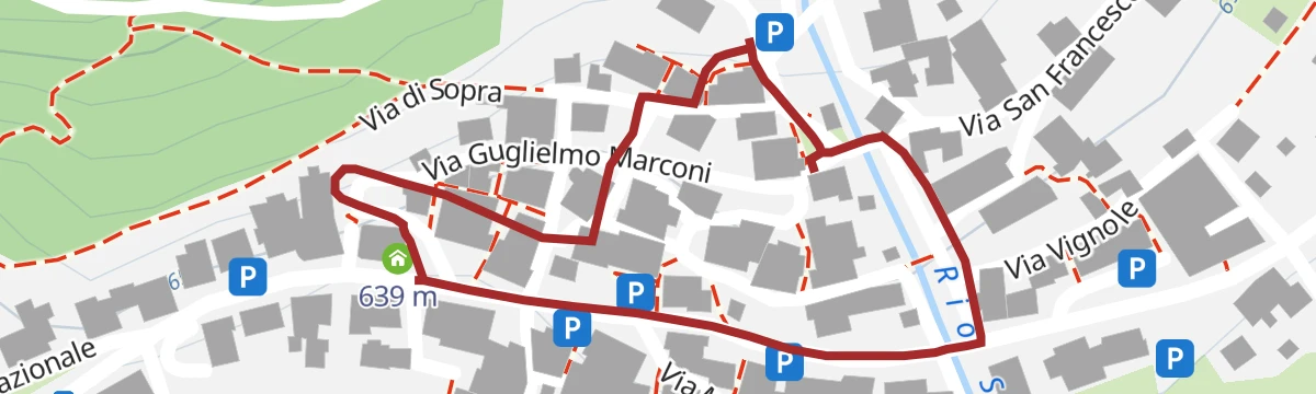
Open route APT San Martino di Castrozza, Primiero e VanoiBridge over the Rio San Piero in Funi, Mezzano
An easy circuit out of Mezzano, starting at the tourist office on Piazza Mons. Orler and climbing through the village lanes to the Frontàl fountain.
- 6.2 km
- Distance
- 253 m
- Ascent
- 2 h 5 min
- Duration
Open route APT San Martino di Castrozza, Primiero e VanoiPrimiero Slow Tour Stage 4 (Rifugio Fonteghi - Rifugio Vederna)
A hut-to-hut stage climbing above the Valpiana meadows, passing the pool of Pozza dell'Orso and a stand of the tallest firs in Trentino.
- 11.7 km
- Distance
- 761 m
- Ascent
- 4 h 45 min
- Duration
- 13
- Check-ins
- Col Della Parrocchia 1 356 m
- Rifugio Vederna 1 324 m
- Rifugio Fonteghi 1 100 m
- Casina Forestale di Valpiana 1 132 m
- Malga Val di Stua di Sopra 1 412 m
 Pozza dell'Orso 1 349 m
Open route APT San Martino di Castrozza, Primiero e VanoiPrimiero loop (gravel)
A gravel loop up to the Passo Gobbera on the old Via Nova carriage road, back along the Cismon path.
- 18.1 km
- Distance
- 364 m
- Ascent
- 1 h 57 min
- Duration
- 14
- Check-ins
Open route APT San Martino di Castrozza, Primiero e VanoiRio Valsorda B7
A flat path along the Rio Valsorda at Imer, on the floor of the Primiero valley.
- 4.0 km
- Distance
- 0 m
- Ascent
- 1 h 22 min
- Duration
Open route Trentino FishingWalk to Monte Vederna – Croce degli Alpini
A walk up to the Vederna hut and the Alpini cross, on a green shoulder at the foot of Monte Pavione.
- 8.2 km
- Distance
- 345 m
- Ascent
- 2 h 42 min
- Duration
- 8
- Check-ins
Open route APT San Martino di Castrozza, Primiero e VanoiRoute Elevation 860
An easy scenic loop above the Primiero valley, held between 650 and 1,200 m on forest roads.
- 28.2 km
- Distance
- 761 m
- Ascent
- 3 h 13 min
- Duration
Open route APT San Martino di Castrozza, Primiero e VanoiSentArte - walk among artistic benches
A very short walk at Imer between benches made by artists, on the floor of the Primiero valley.
- 612 m
- Distance
- 11 m
- Ascent
- 10 min
- Duration
Open route APT San Martino di Castrozza, Primiero e VanoiSpeteme che rue Trail
A loop from the middle of Imer past scattered farmhouses to the San Silvestro church and Passo Gobbera, high point at Col dei Beteghe, 1,048 m.
- 10.6 km
- Distance
- 706 m
- Ascent
- 4 h 46 min
- Duration
- 2
- Check-ins
Open route APT San Martino di Castrozza, Primiero e VanoiSolan
A walk from Pecolet at 950 m on the Passo Broccon road, up the paved Via Nova past the Col dei Fagheri crossroads above Imer.
- 4.8 km
- Distance
- 225 m
- Ascent
- 1 h 41 min
- Duration
Open route APT San Martino di Castrozza, Primiero e VanoiThe Ancient Fruit Route
A themed walk from Pieve up to Passo Gobbera on the old Via Nòva, past more than forty catalogued old pear, apple and cherry trees.
- 8.0 km
- Distance
- 329 m
- Ascent
- 2 h 26 min
- Duration
- 2
- Check-ins
Open route APT San Martino di Castrozza, Primiero e VanoiTorrente Cismon Basso B2
A short, flat walk beside the lower reaches of the Cismon stream at Imer.
- 2.1 km
- Distance
- 0 m
- Ascent
- 31 min
- Duration
Open route Trentino FishingVia Nòva - From Pieve to Passo Gobbera
A historic, sun-exposed link from the valley up to the pass, crossing the Val de San Piero on a rope bridge with Mezzano and Imer in sight.
- 8.0 km
- Distance
- 537 m
- Ascent
- 3 h 4 min
- Duration
- 2
- Check-ins
Open route APT San Martino di Castrozza, Primiero e VanoiTorrente Cismon Basso B3
An easy route beside the lower Cismon at Imer, on the valley floor below Passo Gobbera.
- 4.1 km
- Distance
- 54 m
- Ascent
- 1 h 6 min
- Duration
Open route Trentino FishingTorrente Noana X1
A short walk beside the Noana torrent above Imer, at the mouth of the Val Noana.
- 1.9 km
- Distance
- 106 m
- Ascent
- 59 min
- Duration
Open route Trentino FishingTorrente Noana XM
A short climb along the Noana torrent into the Val Noana above Imer.
- 2.0 km
- Distance
- 277 m
- Ascent
- 1 h 15 min
- Duration
Open route Trentino Fishing
No routes of this kind in Imer yet.
The region's own picks

Featured route
Lago Schener D
A stretch beside the Schener reservoir on the Cismon below Imer, in the Primiero.
Planning a trip to Imer?
Everything else Trentino-Alto Adige/Südtirol has, in one place


Take Imer with you into the mountains
Every route on this page with 3D terrain, GPX navigation and offline maps — including the valleys with no signal.
Data sources
- Official website: sanmartino.com ↗
- Routes and highlights: APT San Martino di Castrozza, Primiero e Vanoi, Dolomitiprealpi, Trentino Fishing, Visit Trentino, VisitTrentino, CAI Dolomiti Bellunesi
- Published as open data by the tourist boards named above.
- Region summary generated from the board's own material.
