
Curated by Vorarlberg Tourismus
Hittisau
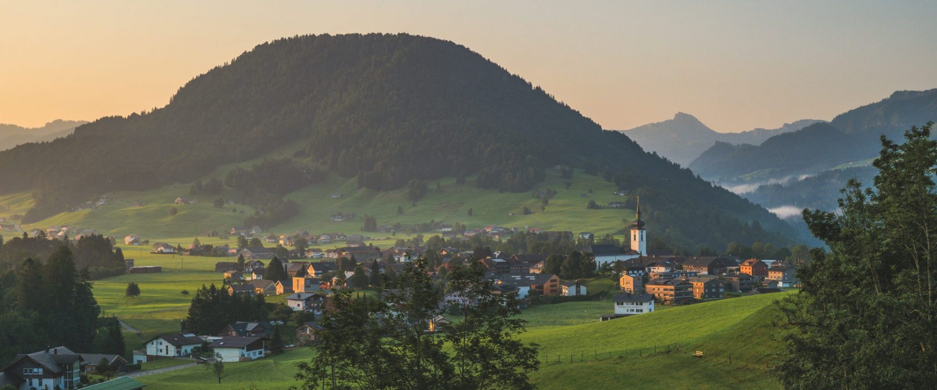
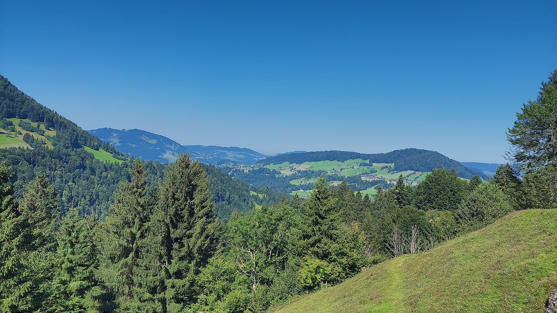
A rural municipality of the Vorderer Bregenzerwald at about 750 m, with well over a hundred alpine pastures in its territory below the Nagelfluh ridge.
Photo: böhringer friedrich licence
- 9Highlights
- 39Routes
Highlights
6 from neighbouring places
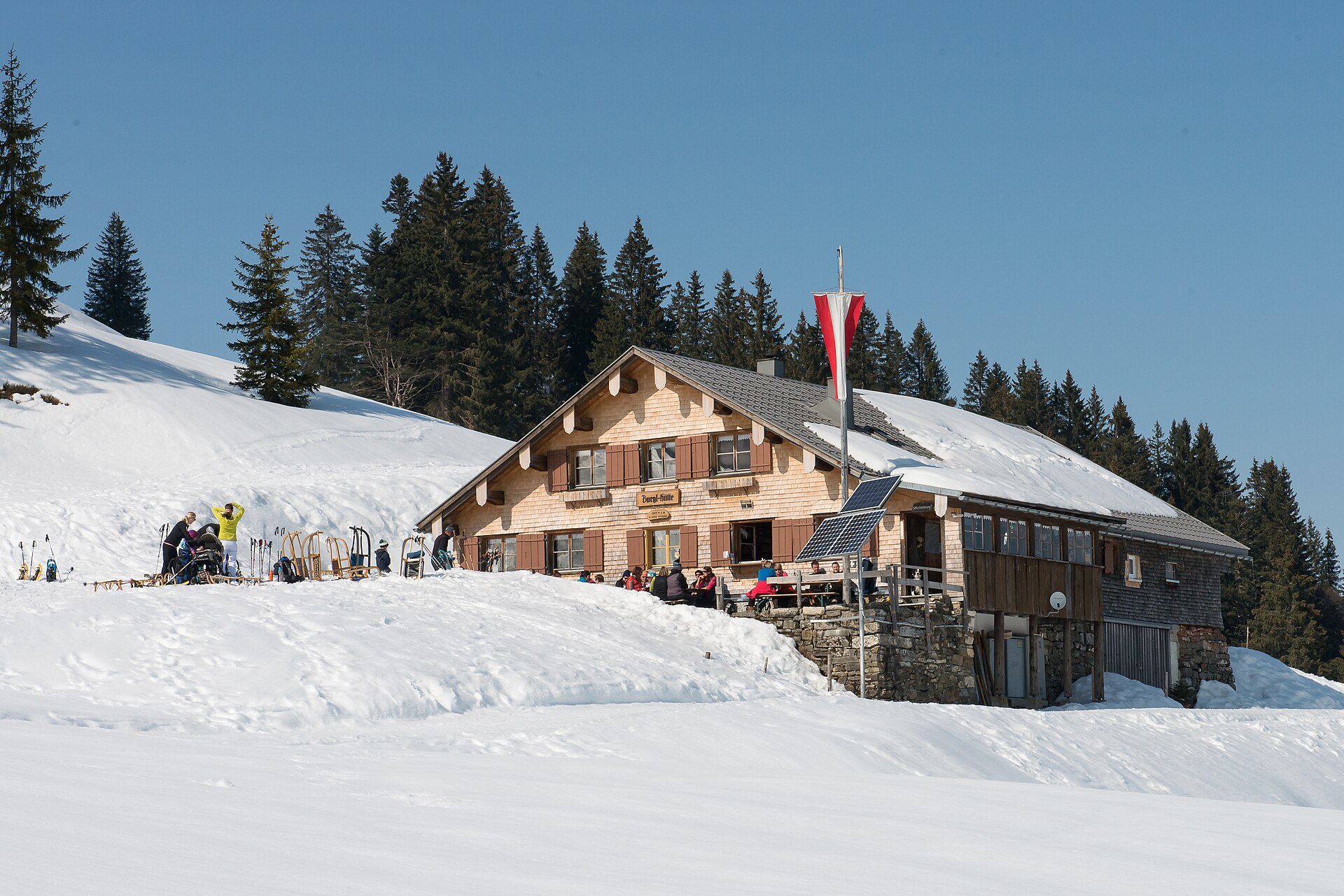
Burglhütte
A hut at 1,428 m on the high ground south-east of the village, in the Lecknertal alp country.
Falken
A 1,564 m mountain of the Hochgrat chain, made of three separate heads, hence its plural local name.
PeakVisor / OpenStreetMapHochhäderich
At 1,566 m the westernmost mountain of the Hochgrat chain, with the Austrian-German border running over its top.
 Natural feature Feel free to use my photos, but please mention me as the author and if you want send me a message. or (rufre@lenz-nenning.at) · CC BY-SA 3.0 at
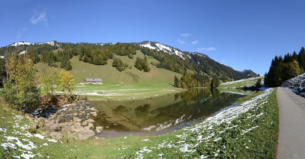
Leckner See
A mountain lake of 1.75 hectares at 1,000 m in the Lecknertal, lying in the molasse zone.
Rotenberg
A 994 m hill north-east of the village, covered by the selection forest the local theme trail explains.
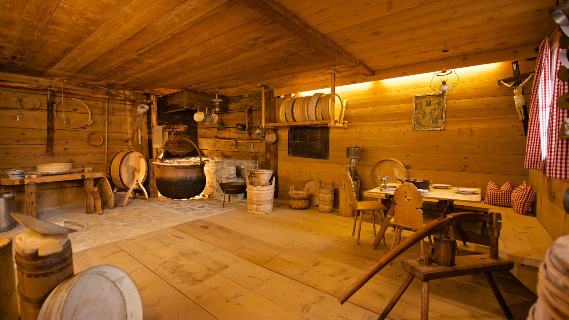
Alpsennereimuseum Hittisau
A historic alp dairy kitchen with its cheese-making and milk-working equipment, shown with a tasting.
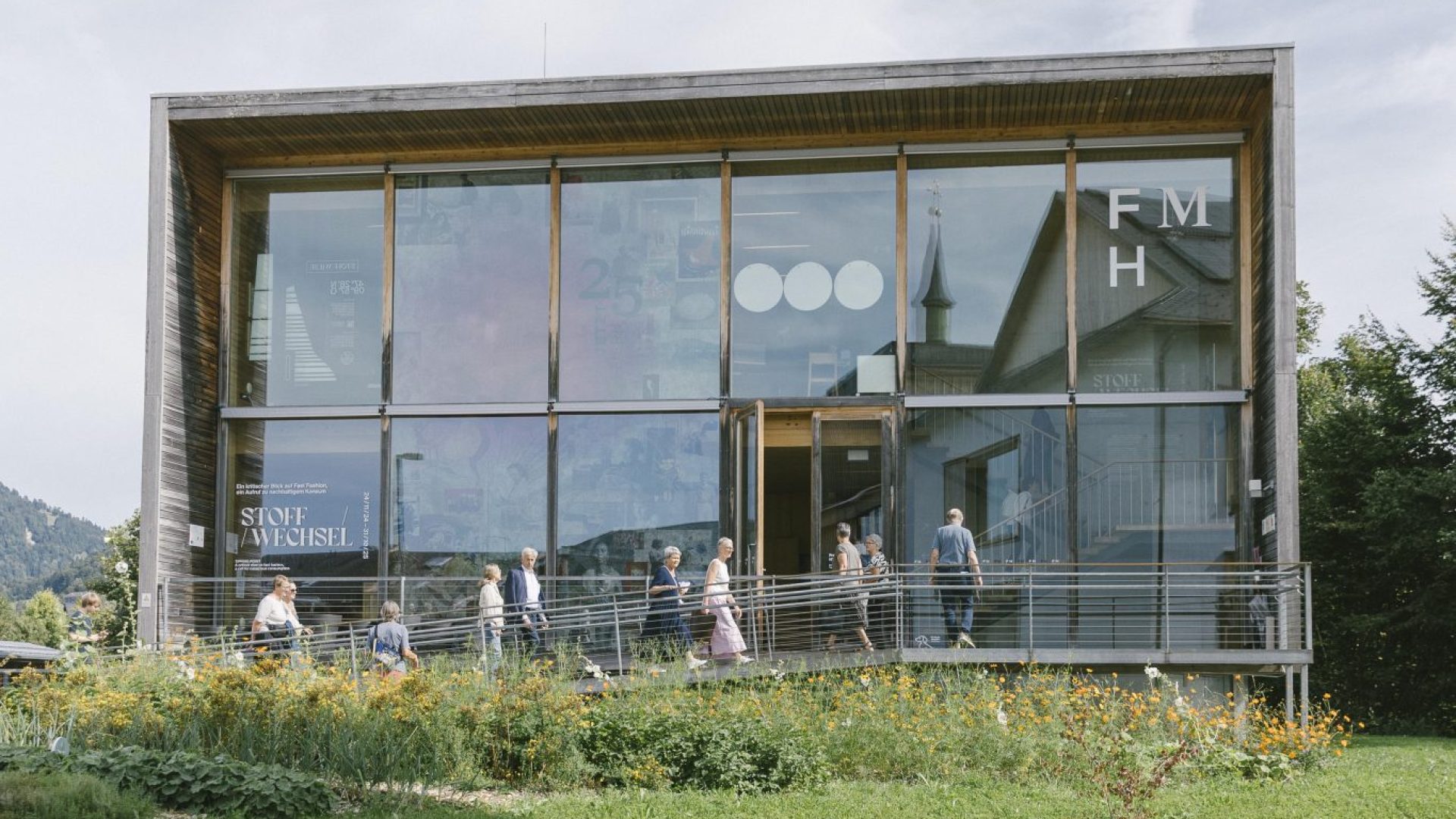
Frauenmuseum Hittisau
The only women's museum in Austria, and the only one anywhere set in a rural region.
Freibad Hittisau
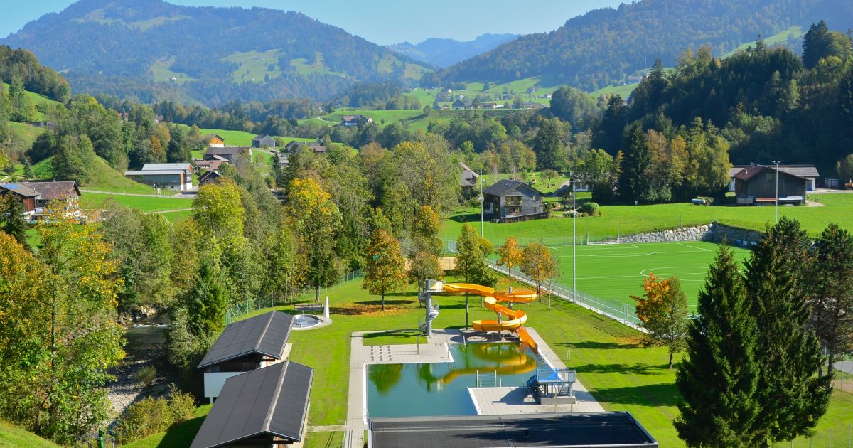
The open-air swimming pool of Hittisau in the Bregenzerwald, open through the summer months.
CLARISSAKORK
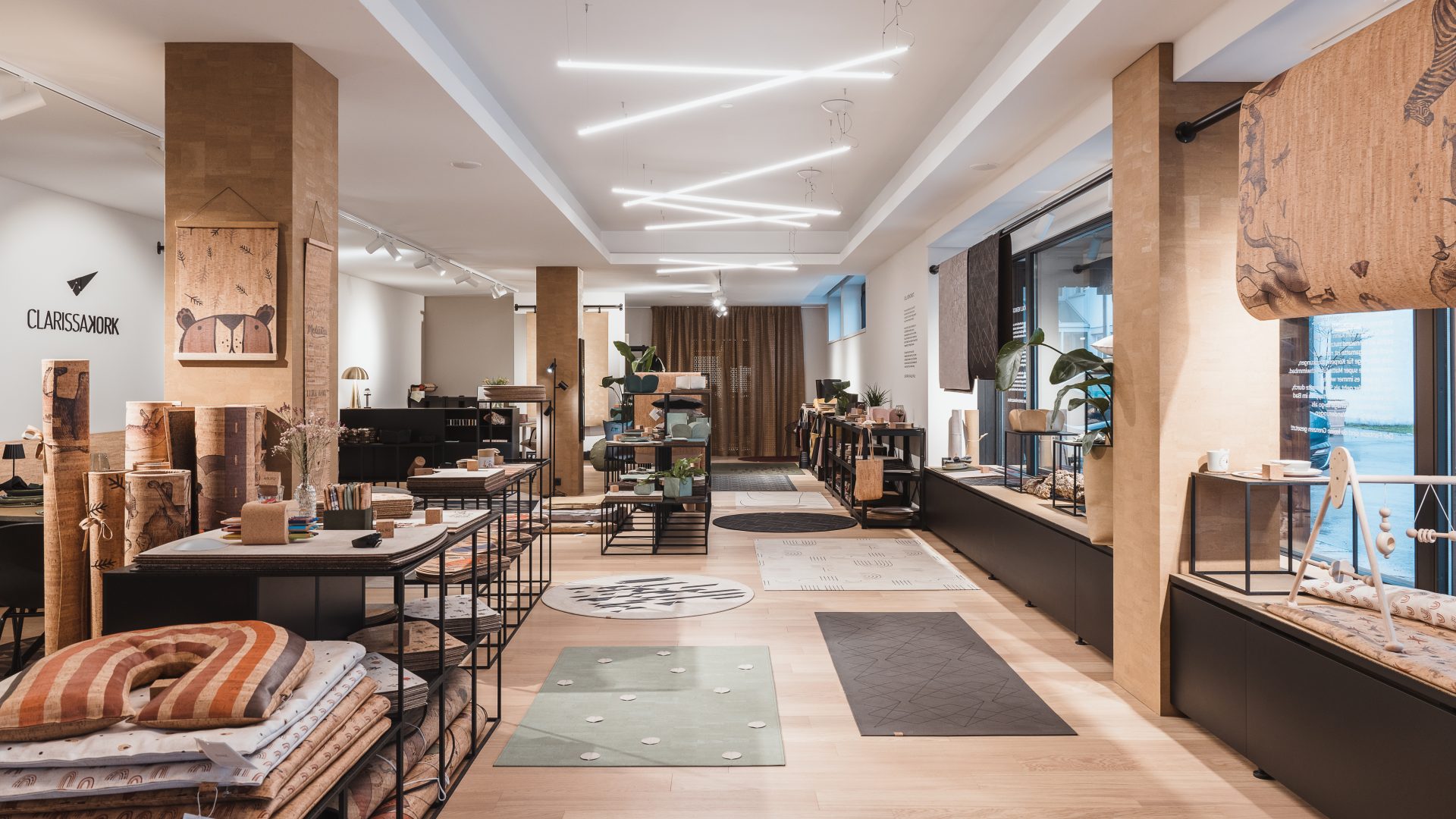
A workshop making rugs, homeware and children's things out of cork.
Sausteigpass
2.5 km away, in Sibratsgfäll
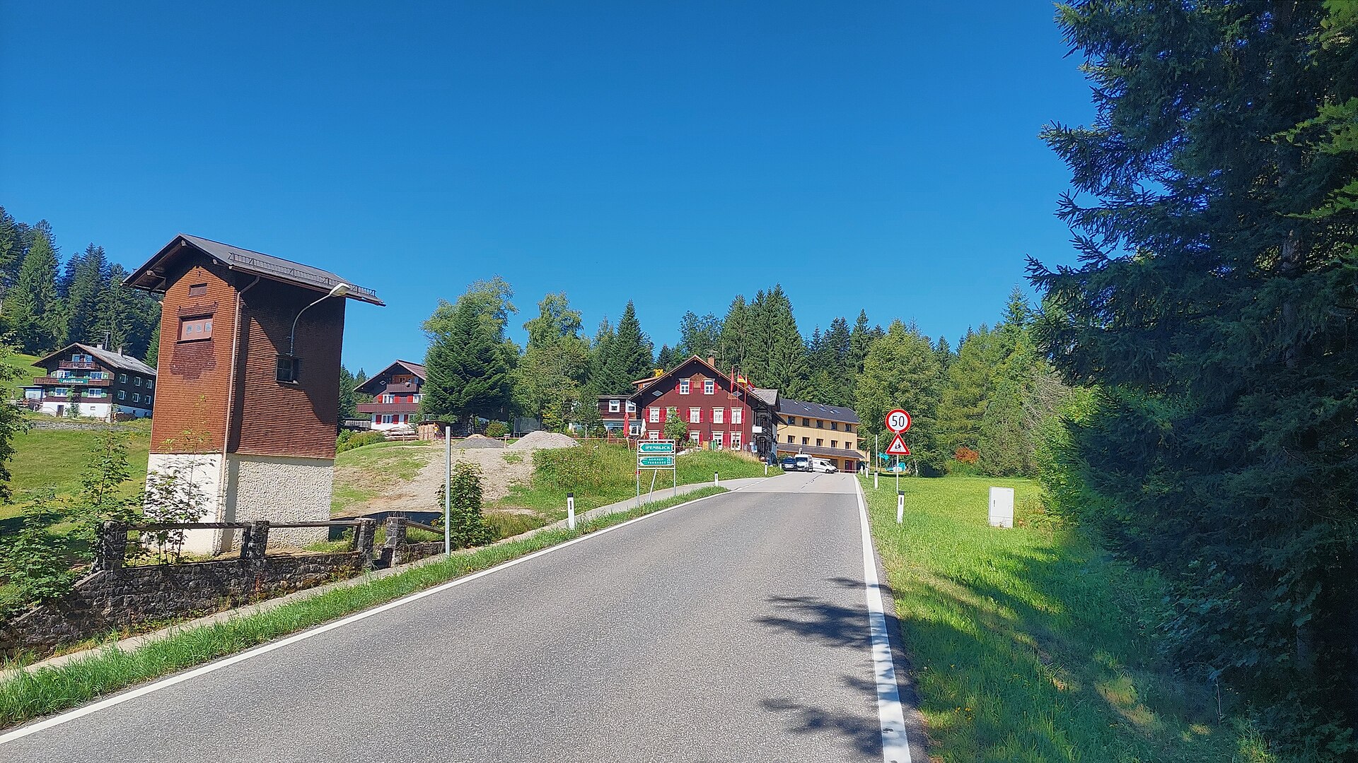
A crossing at 1,047 m north-west of the village, on the way towards the Renkknie.
Skigebiet Hochhäderich Riefensberg
3.1 km away, in Riefensberg
The Alpenarena on the Hochhäderich, used by downhill skiers and cross-country skiers alike.
Hennenmoos
3.1 km away, in Riefensberg
A lift on the Hochhäderich side of the municipality, two and a half kilometres south-east of the village.
Kojen-Moos
3.6 km away, in Riefensberg
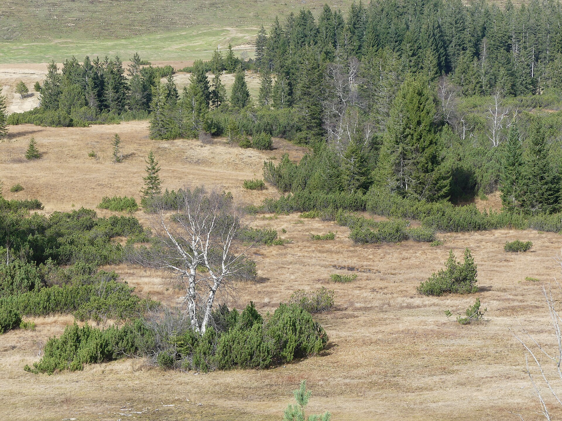
A protected bog on the high ground below the Kojen, crossed by the ridge path from the village.
PeakVisor / OpenStreetMapSteinernes Tor
4 km away, in Riefensberg
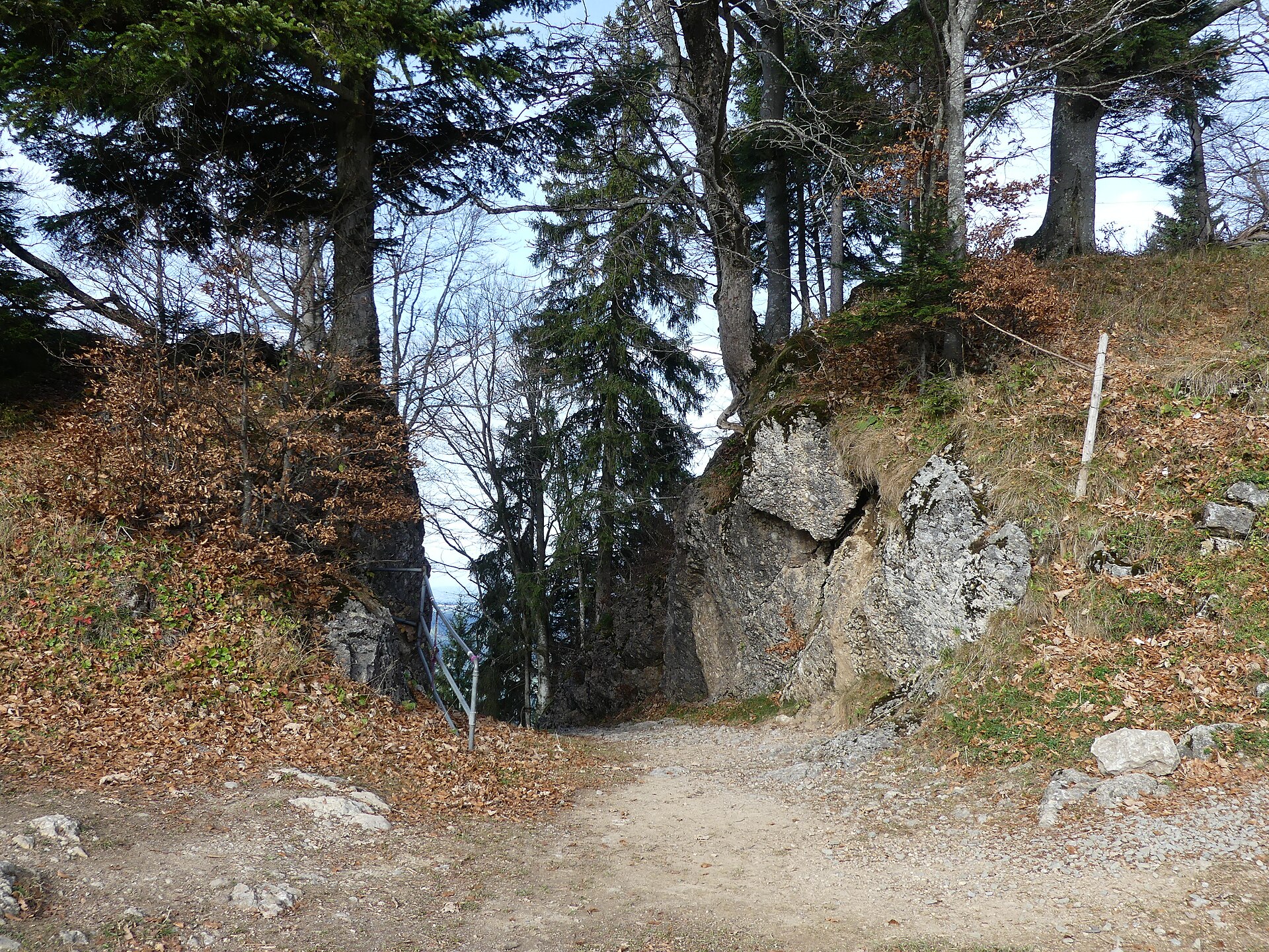
A rock arch on the way up from the village to the Kojenstein, and a lookout in its own right.
PeakVisor / OpenStreetMapKojenstein
4 km away, in Riefensberg
The village's own mountain at 1,300 m, a little over a kilometre south-east of the centre.
 Mountain hut
 Mountain pass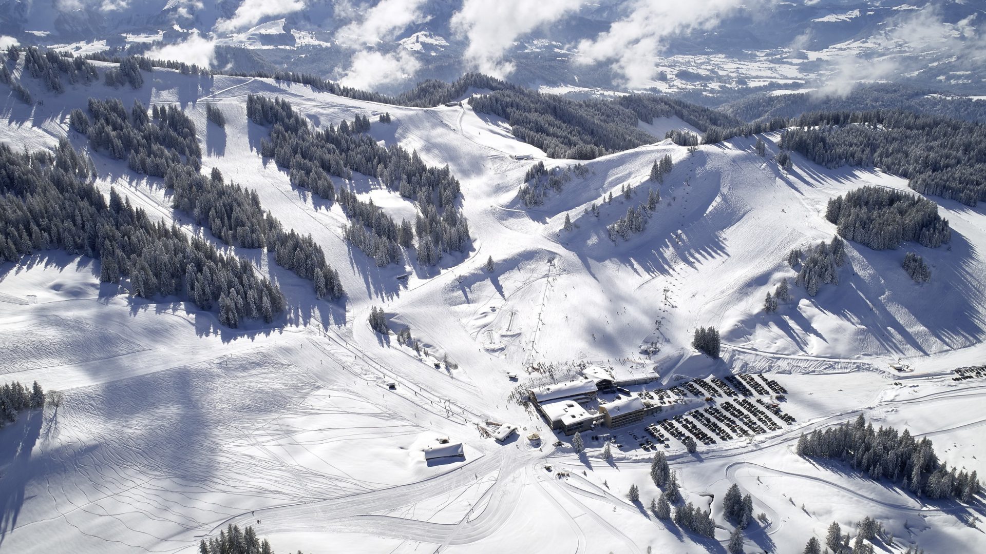
 Cable car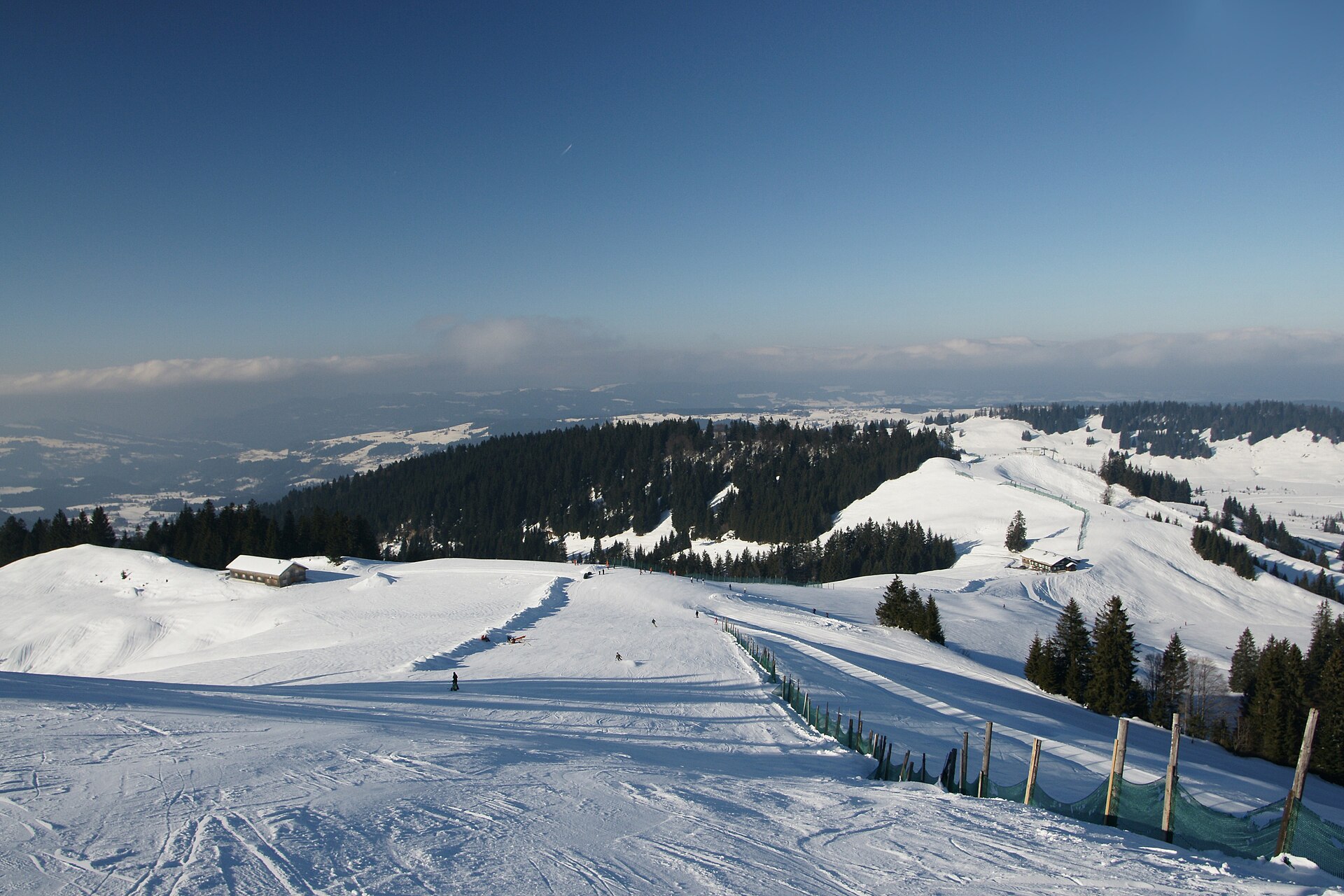
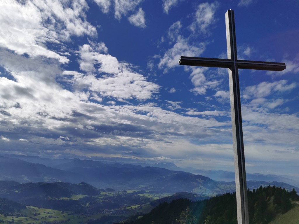
 Viewpoint
Nothing of this kind in Hittisau.
Routes
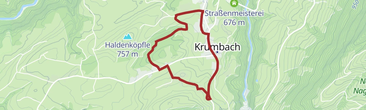
Umgang Krumbach
A village circuit through the place known for its moor, which yields fruit, herbs and pasture for old livestock breeds.
- 3.8 km
- Distance
- 84 m
- Ascent
- 1 h 6 min
- Duration
Open route Vorarlberg TourismusArchitekturweg Bregenzerwald | Krumbach – Lingenau (Etappe 1)
The opening stage of the architecture trail, which runs in five days from Krumbach by Schwarzenberg to Au.
- 14.0 km
- Distance
- 347 m
- Ascent
- 4 h 12 min
- Duration
Open route Vorarlberg TourismusHimmelsstürmer Route der Wandertrilogie Allgäu – Etappe 14 – Balderschwang-Obermaiselstein/Grasgehren
A stage of the Allgäu Wandertrilogie from Balderschwang along the Bolgenbach, through raised bogs and alp pasture.
- 20.3 km
- Distance
- 1 160 m
- Ascent
- 7 h 27 min
- Duration
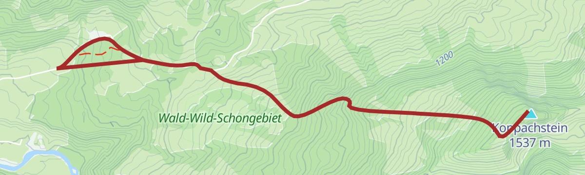
Open route Vorarlberg TourismusBalderschwanger Tal - Östlicher Koppachstein
Östlicher Koppachstein from Balderschwanger Tal: 546 m of climbing in 2.4 km, topping out at 1,524 m.
- 2.1 km
- Distance
- 0 m
- Ascent
- 0 m
- Descent
- 31 min
- Duration
Open route PeakVisor tTRL (OpenStreetMap piste_type=skitour)Handwerk und Innovation
A ride through the Bregenzerwald along its craft tradition, from timber building to fair-faced concrete.
- 38.7 km
- Distance
- 622 m
- Ascent
- 4 h 4 min
- Duration
Open route Vorarlberg TourismusHittisau | Auf den Hittisberg
A climb from the village hall onto the Hittisberg, with steep passages that call for a sure foot.
- 8.4 km
- Distance
- 545 m
- Ascent
- 3 h 42 min
- Duration
Open route Vorarlberg TourismusHittisau | von Hittisau nach Sulzberg
Down to the Bolgenach and up the far side through mixed woodland to the plateau village of Sulzberg.
- 16.5 km
- Distance
- 1 101 m
- Ascent
- 6 h 60 min
- Duration
Open route Vorarlberg TourismusBolgenach - Falken
From Bolgenach at 873 m, 675 m of ascent over 4.6 km to Falken.
- 4.0 km
- Distance
- 0 m
- Ascent
- 0 m
- Descent
- 59 min
- Duration
Open route PeakVisor tTRL (OpenStreetMap piste_type=skitour)Hittisau | Hochhäderich-Runde
A mountain-bike round from Hittisau up to the Hochhäderich and back, with wide views from the top.
- 21.1 km
- Distance
- 841 m
- Ascent
- 2 h 40 min
- Duration
Open route Vorarlberg TourismusHittisau | Lecknertal: Koppachalpe – Ochsenlager
A short round above the Lecknersee by the Koppachalpe and the Dreißiggschwend alps.
- 8.7 km
- Distance
- 402 m
- Ascent
- 3 h 1 min
- Duration
Open route Vorarlberg TourismusHittisau | über Schetteregg nach Großdorf
From Hittisau up to the hamlet of Stöcken at the foot of the Hittisberg, then over the Hinterberg alps to Großdorf.
- 20.0 km
- Distance
- 716 m
- Ascent
- 6 h 34 min
- Duration
Open route Vorarlberg TourismusBolgenach - Hochhädrich
Hochhädrich from Bolgenach: 730 m of climbing in 4.3 km, topping out at 1,549 m.
- 3.7 km
- Distance
- 0 m
- Ascent
- 0 m
- Descent
- 54 min
- Duration
Open route PeakVisor tTRL (OpenStreetMap piste_type=skitour)Hittisau | Mittelwald-Runde
A varied road round through the Bregenzerwald with sporting climbs and long descents, for riders in good shape.
- 35.3 km
- Distance
- 515 m
- Ascent
- 3 h 37 min
- Duration
Open route Vorarlberg TourismusHittisau | Rundwanderung Lecknertal – Rohnehöhe
A round of the Lecknertal past six alps, four of them dairies making alp cheese, in the municipality with the most alps in Austria.
- 11.6 km
- Distance
- 688 m
- Ascent
- 4 h 46 min
- Duration
Open route Vorarlberg TourismusKäseweg Bregenzerwald | Sulzberg – Hittisau (1. Etappe)
The first stage of the Käseweg, a cheese-makers' route linking the alps and dairies between Sulzberg and Hittisau.
- 16.5 km
- Distance
- 879 m
- Ascent
- 6 h 44 min
- Duration
Open route Vorarlberg TourismusBolgenach - Rohnenhöhe
774 m on skis from Bolgenach to Rohnenhöhe, 6.7 km with its high point at 1,620 m.
- 5.7 km
- Distance
- 0 m
- Ascent
- 0 m
- Descent
- 1 h 23 min
- Duration
Open route PeakVisor tTRL (OpenStreetMap piste_type=skitour)Hittisau | Von Hittisau nach Balderschwang
A cross-border ride from Hittisau into the Allgäu at Balderschwang and back.
- 42.5 km
- Distance
- 1 231 m
- Ascent
- 4 h 56 min
- Duration
Open route Vorarlberg TourismusHittisau | Rundwanderung von Hittisau zum Hochhäderich
A steep climb in places to the Hochhäderich, which looks north into the Allgäu and south over the Bregenzerwald.
- 9.0 km
- Distance
- 727 m
- Ascent
- 4 h 40 min
- Duration
Open route Vorarlberg TourismusLingenau | Entlang der Subersach nach Hittisau und über den Rotenberg zurück
Along the Subersach from Lingenau into the Engenloch gorge at Hittisau, returning over the Rotenberg.
- 15.3 km
- Distance
- 684 m
- Ascent
- 5 h 16 min
- Duration
Open route Vorarlberg TourismusBolgenach - Westlicher Koppachstein
A ski tour from Bolgenach to Westlicher Koppachstein, 666 m of climbing in 5.6 km to a high point of 1,529 m.
- 4.4 km
- Distance
- 0 m
- Ascent
- 0 m
- Descent
- 1 h 5 min
- Duration
Open route PeakVisor tTRL (OpenStreetMap piste_type=skitour)Lingenau | Rund um die Subersach
A mountain-bike round over the Rotenberg selection forest to Hittisau and Sibratsgfäll, back by the Schetteregg alps.
- 33.9 km
- Distance
- 820 m
- Ascent
- 3 h 47 min
- Duration
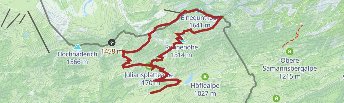
Open route Vorarlberg TourismusHittisau | Von Alpe zu Alpe im Lecknertal
A round to the Alpe Juliansplatte above the Lecknersee, worked from mid-May to mid-September by the Rietzlers.
- 8.7 km
- Distance
- 323 m
- Ascent
- 2 h 49 min
- Duration
Open route Vorarlberg TourismusMin Weag 04 | Hochhäderich – Lecknertal
Over the Hochhäderich and six summits along the Nagelfluhkette to the Lecknersee, crossing the Kojenmoos reserve.
- 15.4 km
- Distance
- 1 077 m
- Ascent
- 7 h 33 min
- Duration
Open route Vorarlberg TourismusGschwänd - Burstkopf
From Gschwänd at 1,002 m, 541 m of ascent over 3.1 km to Burstkopf.
- 3.0 km
- Distance
- 0 m
- Ascent
- 0 m
- Descent
- 44 min
- Duration
Open route PeakVisor tTRL (OpenStreetMap piste_type=skitour)Mellau l Rennrad Mellau – Vorderwald
A long road round out of Mellau taking in most of the villages of the outer Bregenzerwald.
- 51.4 km
- Distance
- 894 m
- Ascent
- 5 h 24 min
- Duration
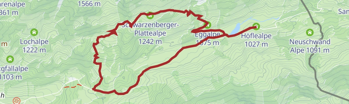
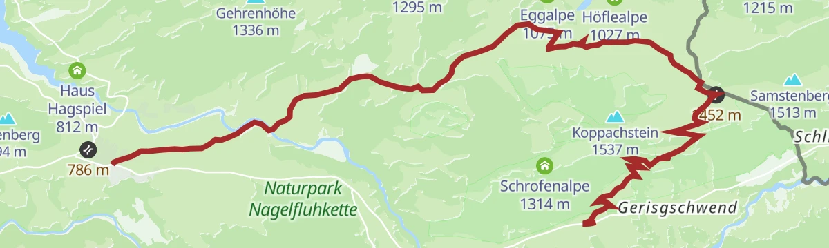
Open route Vorarlberg TourismusHittisau | Zur Alpe Gerisgschwend
A mountain walk to the Alpe Gerisgschwend, held by the Schwärzler family and worked for several generations.
- 11.6 km
- Distance
- 563 m
- Ascent
- 4 h 9 min
- Duration
Open route Vorarlberg TourismusMin Weag 06 | Sippersegg – Sibratsgfäll
A Min Weag stage over pasture and evergreen fir forest to the staffed Lappachalpe and on to Sibratsgfäll.
- 15.6 km
- Distance
- 700 m
- Ascent
- 5 h 26 min
- Duration
Open route Vorarlberg TourismusGschwänd - Feuerstätterkopf
Feuerstätterkopf from Gschwänd: 641 m of climbing in 3.9 km, topping out at 1,626 m.
- 3.9 km
- Distance
- 0 m
- Ascent
- 0 m
- Descent
- 57 min
- Duration
Open route PeakVisor tTRL (OpenStreetMap piste_type=skitour)Sibratsgfäll | Gravelbike Vorderwald-Runde
The gravel version of the Vorderwald round, crossing the border in the alp country above the village.
- 24.2 km
- Distance
- 778 m
- Ascent
- 2 h 53 min
- Duration
Open route Vorarlberg TourismusHittisau | Zur Alpe Hochleckach
A mountain walk to the Alpe Hochleckach under the Koppachstein, worked by the Winder family from June to mid-September.
- 13.6 km
- Distance
- 539 m
- Ascent
- 4 h 41 min
- Duration
Open route Vorarlberg TourismusSibratsgfäll | Vorderwald-Runde
A cross-border round in the alp country of Sibratsgfäll, opening through Rindberg where a large landslide moved in 1999.
- 24.4 km
- Distance
- 749 m
- Ascent
- 2 h 52 min
- Duration
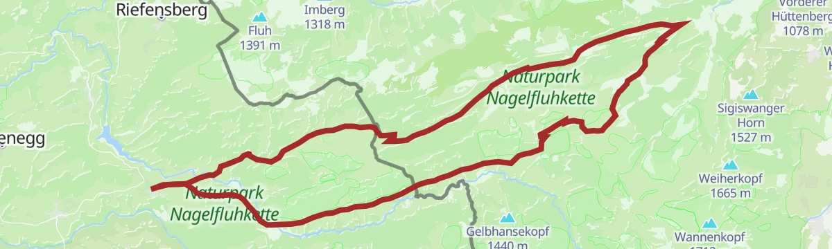
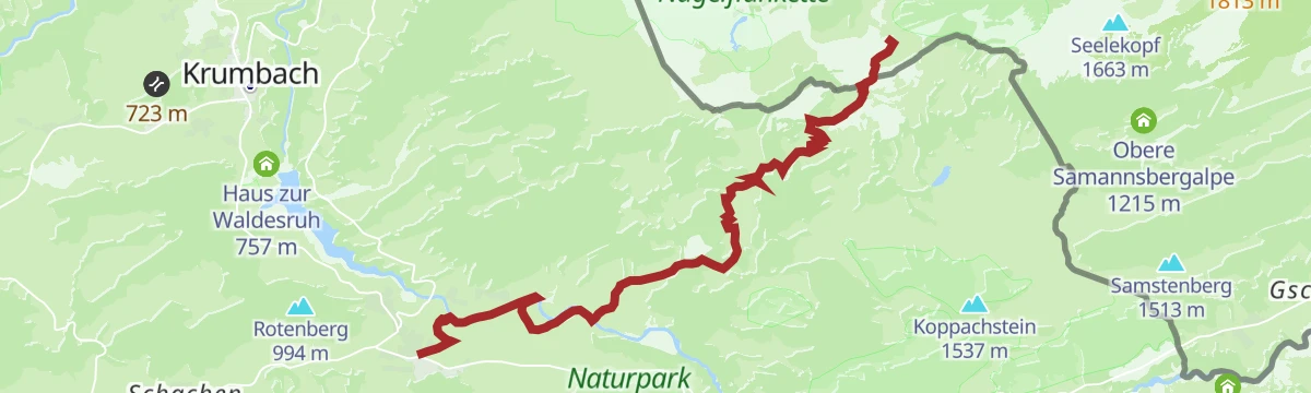
Open route Vorarlberg TourismusHüttenwanderung Naturpark Nagelfluhkette (Etappe 1)
The first day of a hut walk through the Nagelfluhkette nature park, by the Engenloch gorge into the Lecknertal.
- 9.9 km
- Distance
- 792 m
- Ascent
- 3 h 53 min
- Duration
Open route Vorarlberg TourismusVorsäßgebiet & Naturpark Nagelfluhkette | Lingenau – Schetteregg – Sibratsgfäll – Lingenau
A mountain-bike route from Lingenau through the Schetteregg vorsäß country into the Nagelfluhkette nature park.
- 34.4 km
- Distance
- 811 m
- Ascent
- 3 h 49 min
- Duration
Open route Vorarlberg TourismusHüttenwanderung Naturpark Nagelfluhkette (Etappe 2)
The second day of the Nagelfluhkette hut walk, from the Falkenhütte on to the Berggasthof Hochhäderich.
- 10.1 km
- Distance
- 452 m
- Ascent
- 3 h 24 min
- Duration
Open route Vorarlberg TourismusKrumbach | Rundweg von Krumbach nach Langenegg
A varied round through the scattered settlement country of the outer Bregenzerwald, from Krumbach to Langenegg.
- 10.5 km
- Distance
- 212 m
- Ascent
- 2 h 58 min
- Duration
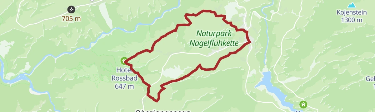
Open route Vorarlberg TourismusKrumbach | Zum Heilbädle Rossbad
An easy winter round through the scattered farms of Krumbach to the old Rossbad healing bath.
- 10.2 km
- Distance
- 134 m
- Ascent
- 2 h 43 min
- Duration
Open route Vorarlberg TourismusKäseweg Bregenzerwald | Hittisau – Schetteregg (2. Etappe)
The second stage of the Käseweg, running from the soft foothills near Sulzberg to the dairy alps above Schetteregg.
- 14.8 km
- Distance
- 799 m
- Ascent
- 5 h 5 min
- Duration
Open route Vorarlberg TourismusLingenau | Negrellirunde
A demanding round from the Rotenberg down to the Negrelli bridge, needing a sure foot.
- 11.5 km
- Distance
- 367 m
- Ascent
- 3 h 36 min
- Duration
Open route Vorarlberg TourismusLingenau | Themenweg Rotenberg Wald
A teaching trail through a typical selection forest, the sustainably worked woodland that is a speciality of the region.
- 8.9 km
- Distance
- 361 m
- Ascent
- 2 h 59 min
- Duration
Open route Vorarlberg Tourismus













No routes of this kind in Hittisau yet.
Planning a trip to Hittisau?
Everything else Vorarlberg has, in one place


Take Hittisau with you into the mountains
Every route on this page with 3D terrain, GPX navigation and offline maps — including the valleys with no signal.
Data sources
- Official website: bodensee-vorarlberg.com ↗
- Routes and highlights: Vorarlberg Tourismus, PeakVisor / OpenStreetMap, PeakVisor tTRL (OpenStreetMap piste_type=skitour), Bregenzerwald Tourismus, Bodensee-Vorarlberg Tourismus
- Published as open data by the tourist boards named above.
- Region summary generated from the board's own material.
