
 Historic site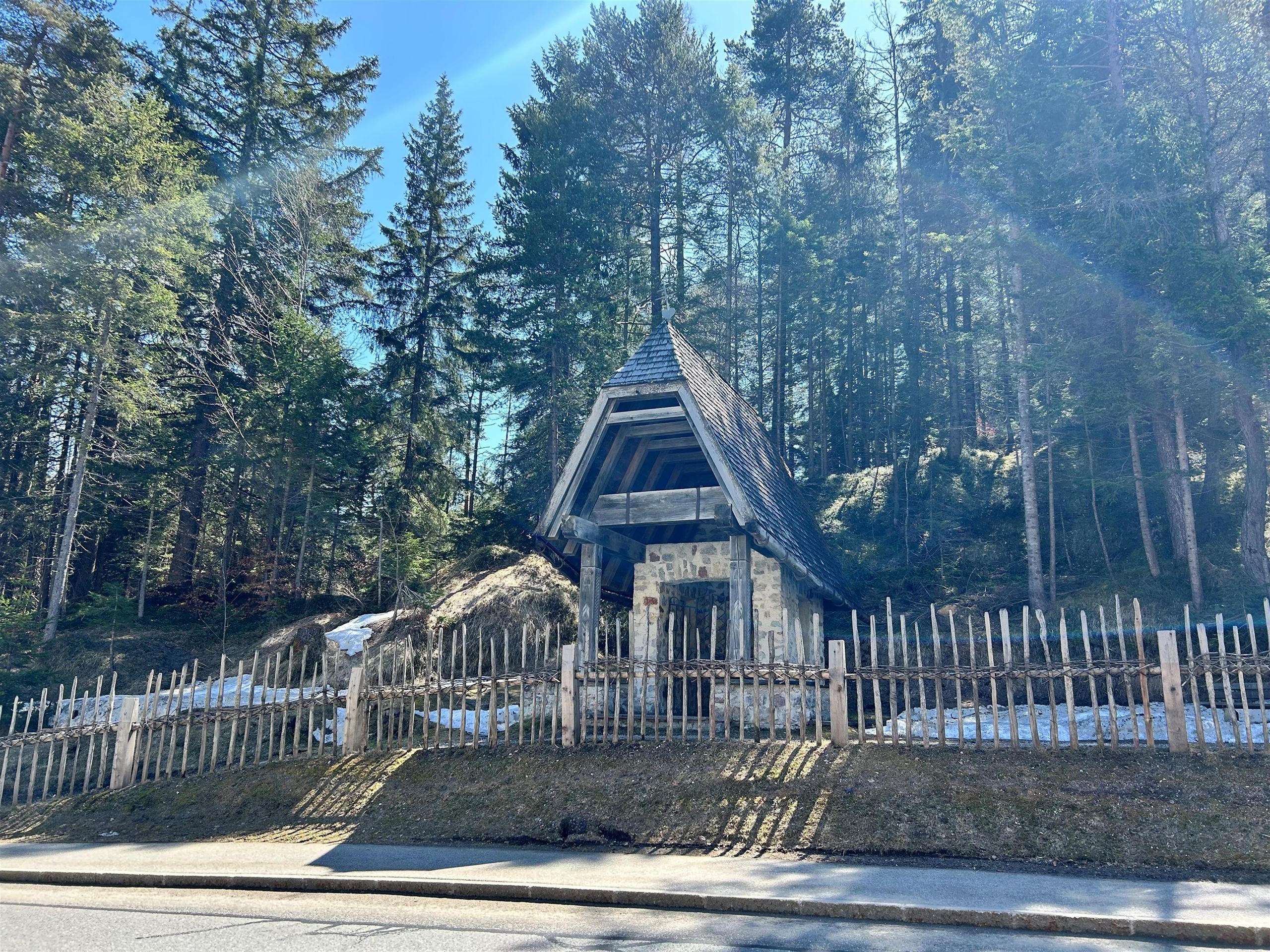
 Mountain hut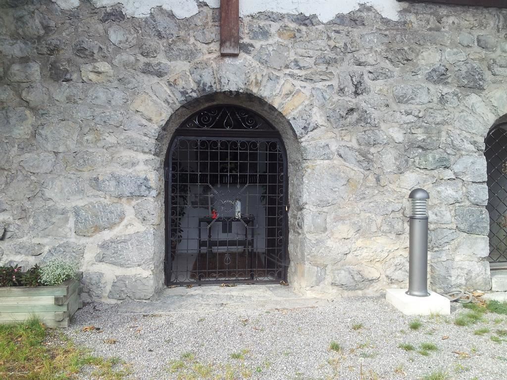






Curated by Region Seefeld
Hatting
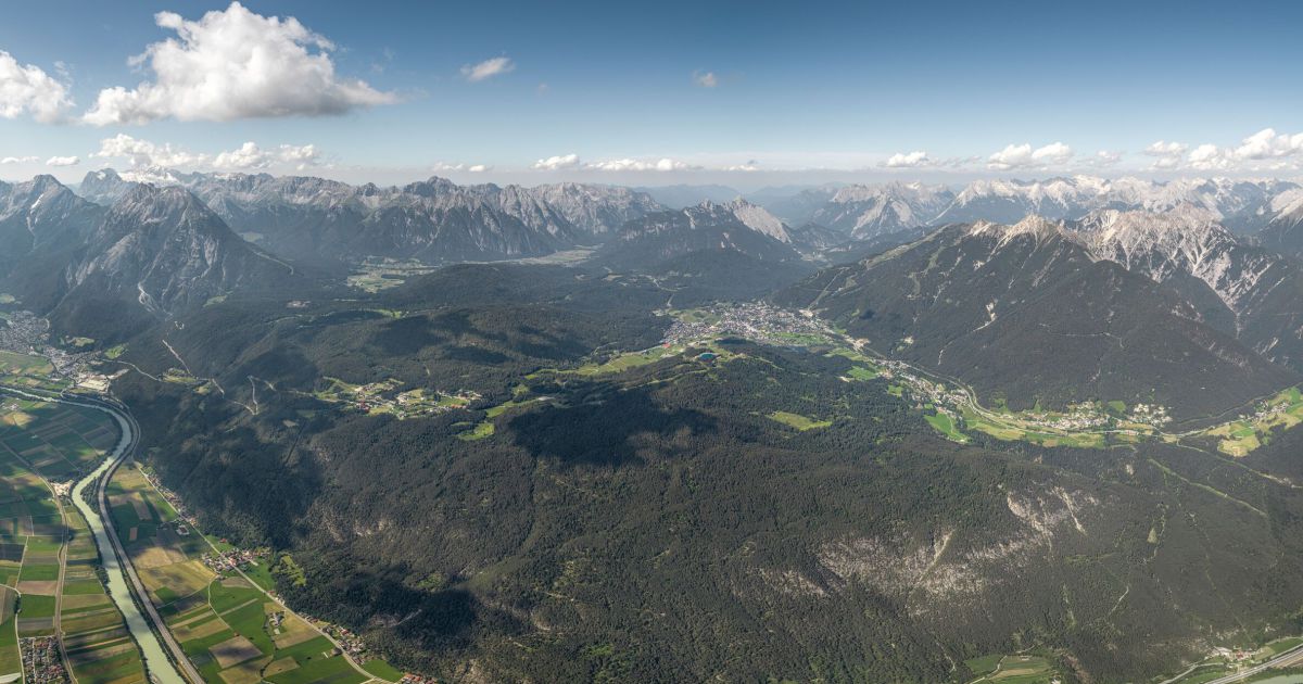
A small farming village on the Inn west of Innsbruck at 616 m, fields along the river at the foot of the terrace toward Inzing and Flaurling.
- 15Highlights
- 5Routes
- Featured summit · Rauher Kopf
Highlights
All 15 from neighbouring places
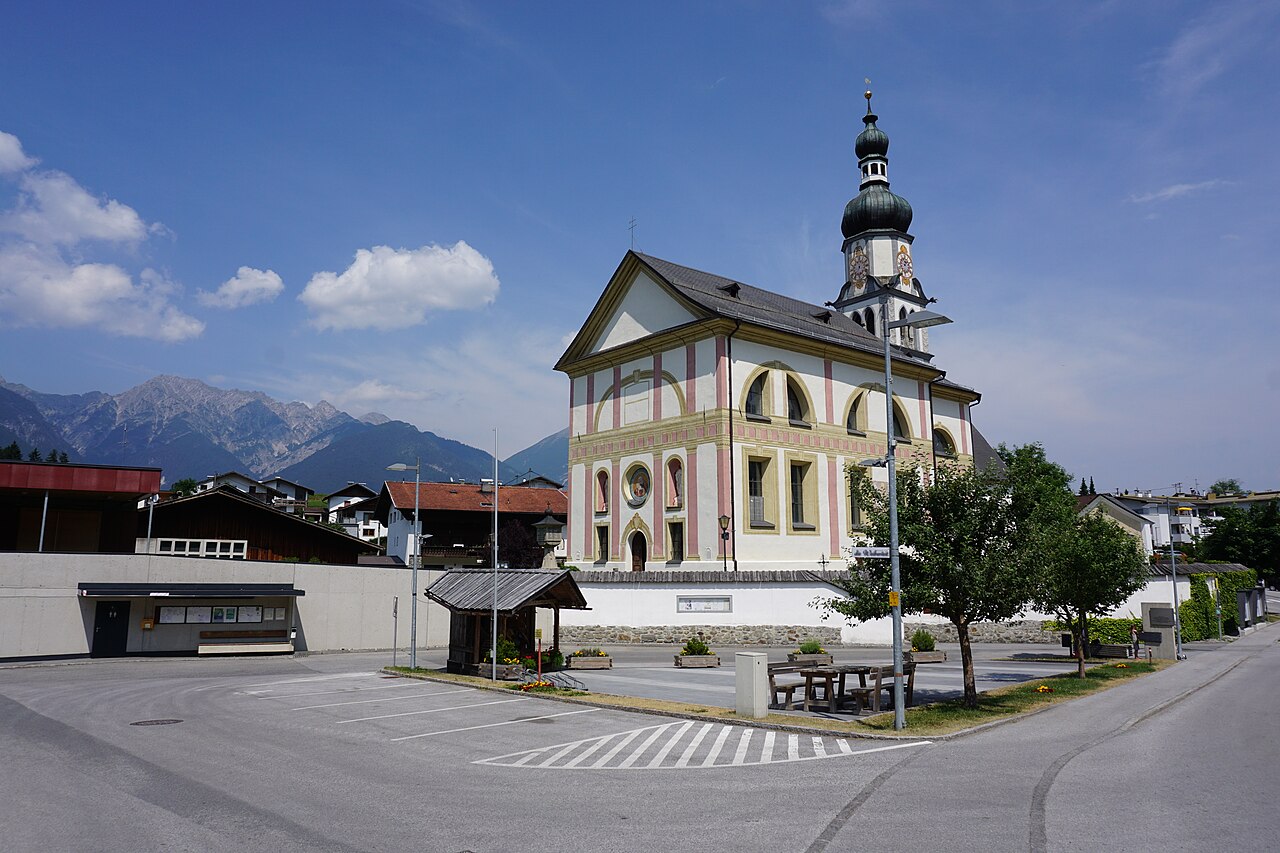
Pfarrkirche Ranggen
4.5 km away, in Ranggen
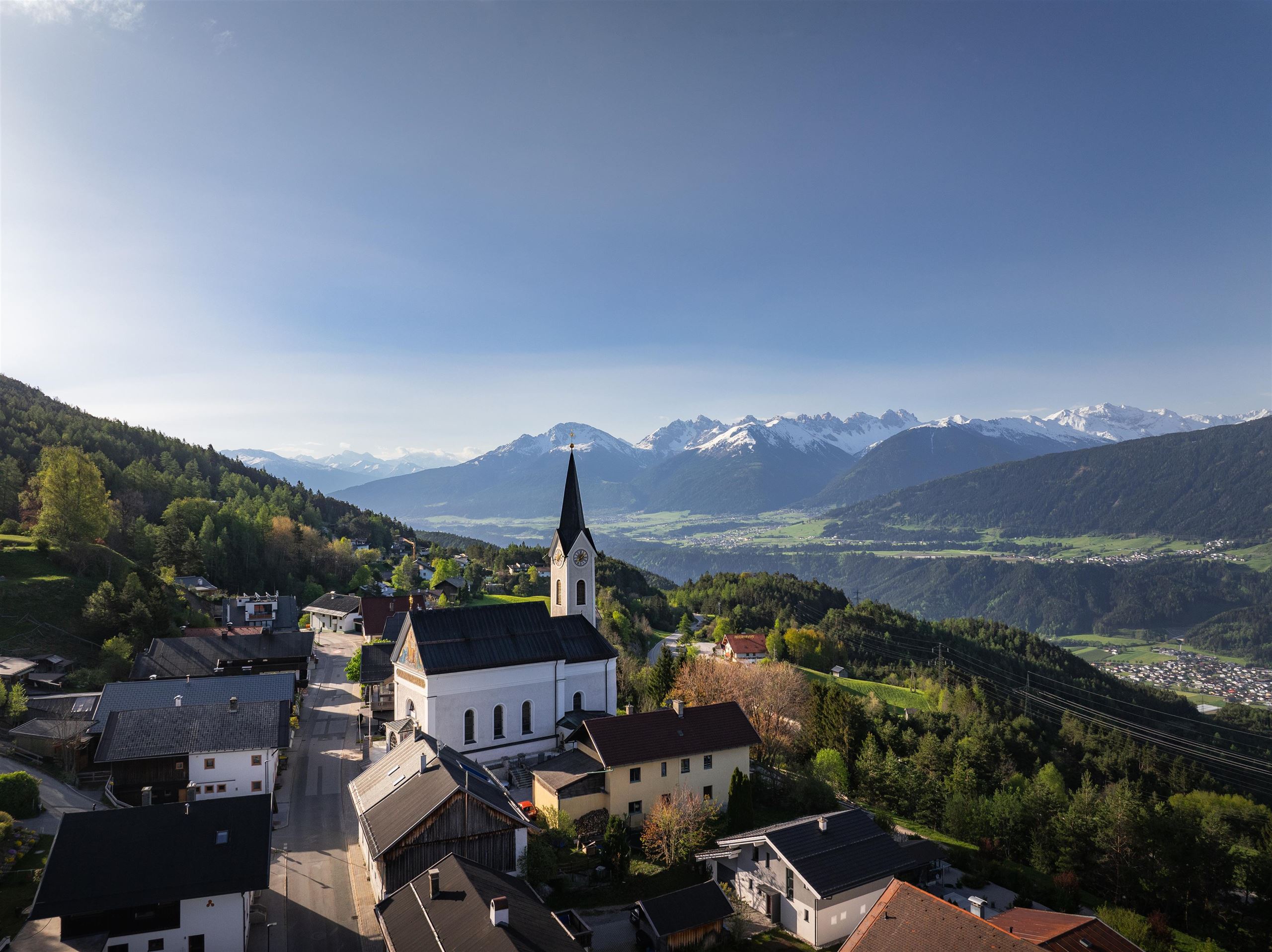
The parish church of Ranggen (826 m), the landmark of a small farming village in the hills west of Innsbruck.
Gföll Kapelle oder Obere Möserer Kapelle
4.5 km away, in Telfs
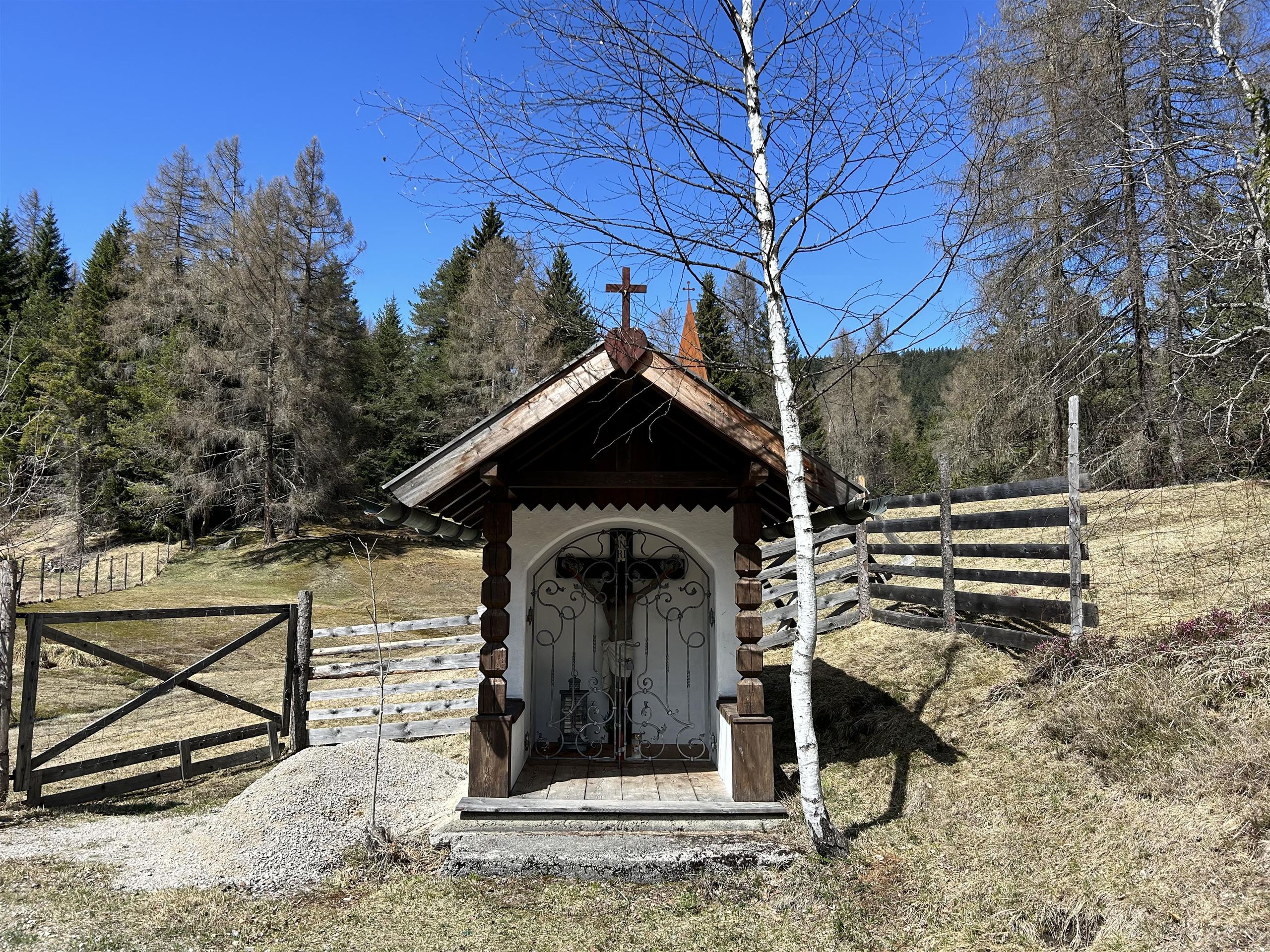
A chapel at Gföll above Mösern, also called the Upper Möserer Kapelle, beside the old route across the sunny terrace.
Pfarrkirche Maria Heimsuchung
4.6 km away, in Telfs
The parish church of Mösern, dedicated to the Visitation of Mary, serving the small village at 1,240 m above the Inn valley on the Seefeld plateau.
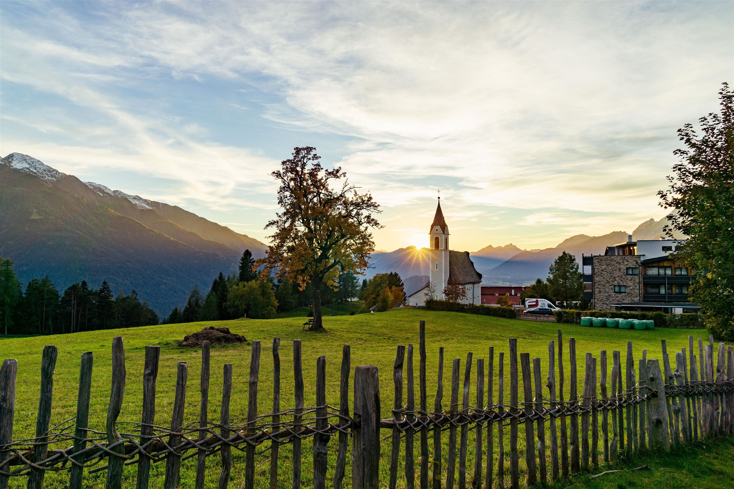
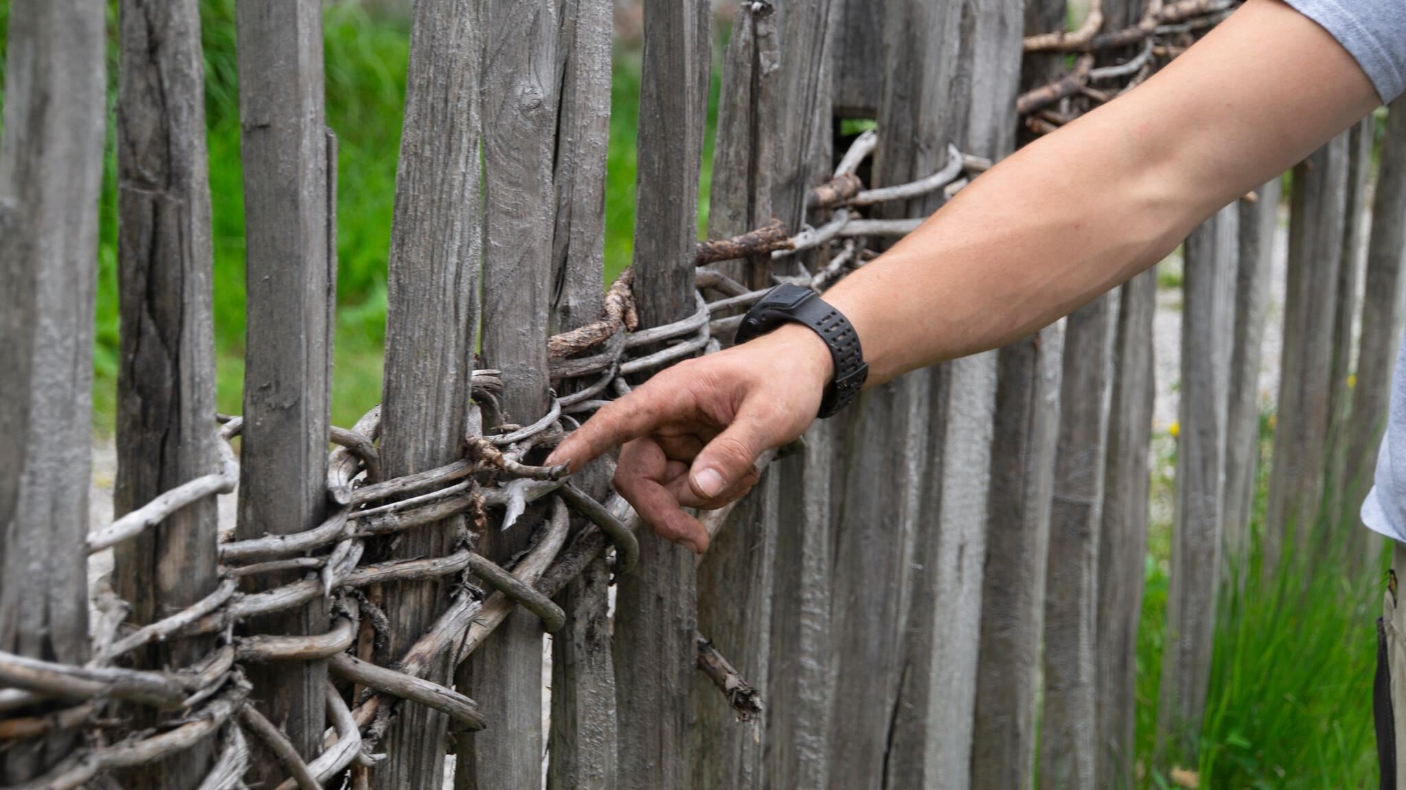
Historische Zäune
4.6 km away, in Telfs
Traditional wooden fences preserved around Mösern, showing historic Tyrolean fencing techniques along the meadows.
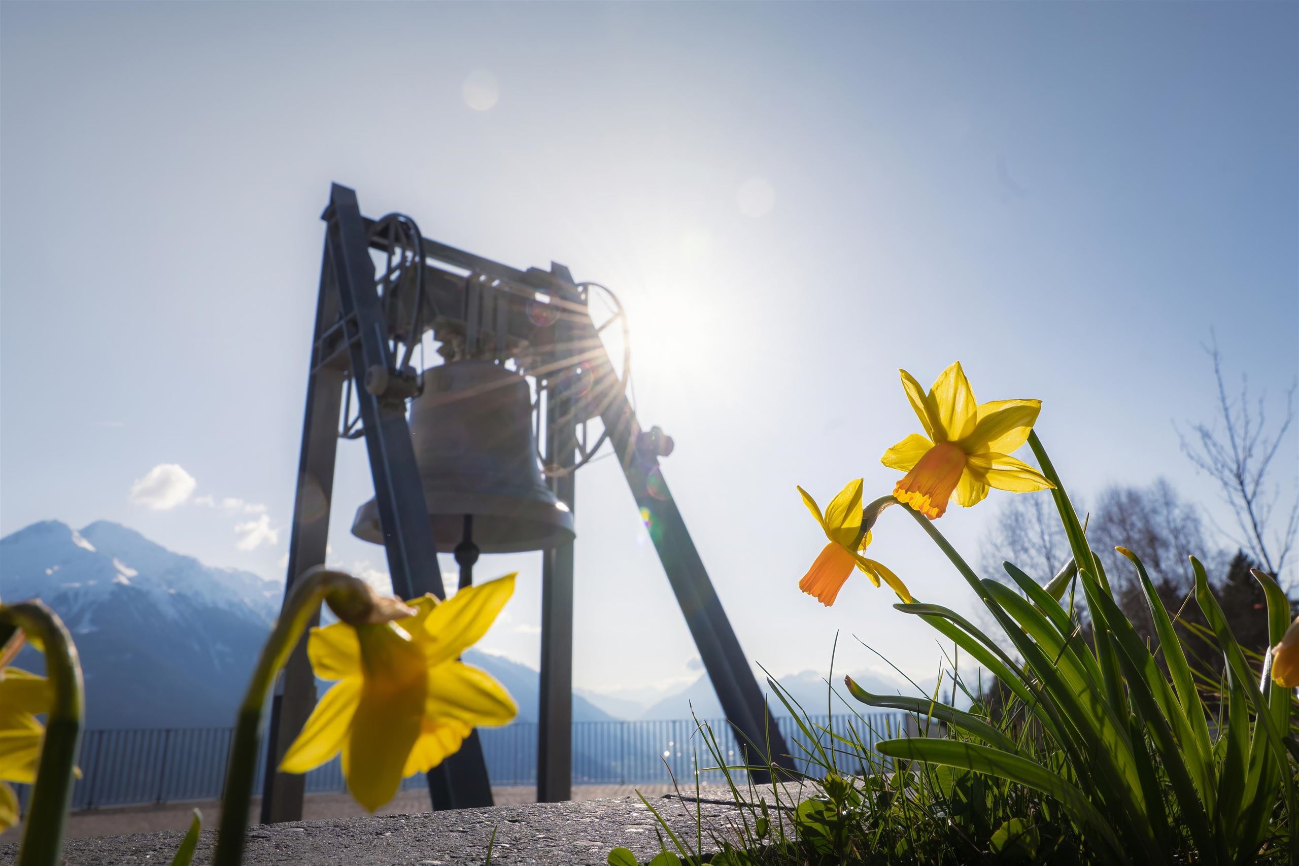
Die Friedensglocke
4.7 km away, in Telfs
The Peace Bell of Mösern, installed in 1997 above the Inn valley and rung daily as a sign of cross-border friendship in the Alps.
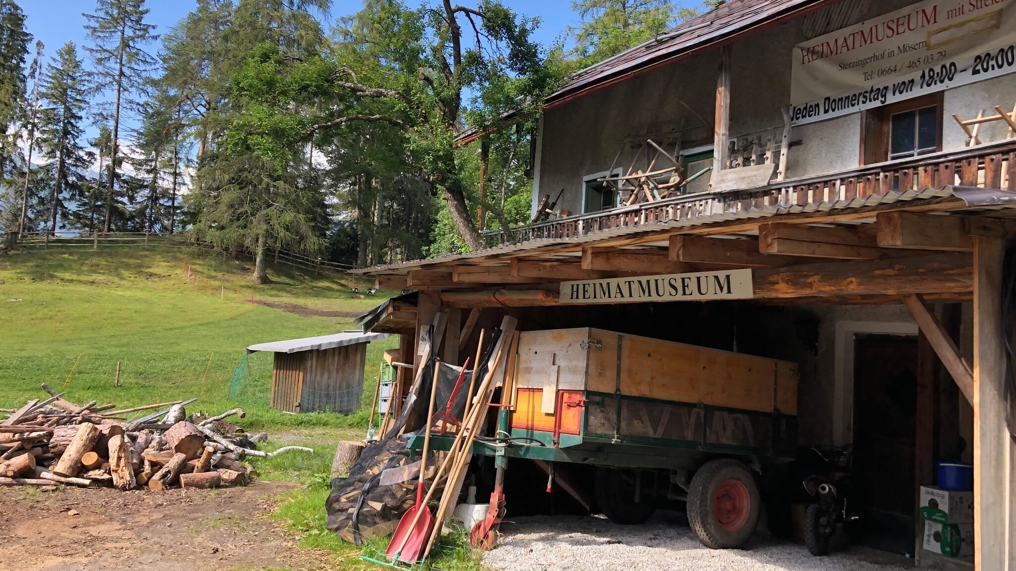
Heimatmuseum im Sterzingerhof
4.7 km away, in Telfs
A local heritage museum in the Sterzingerhof at Mösern, presenting everyday objects from the village's farming past.
Kalvarienberg Mösern
4.8 km away, in Telfs
A calvary hill above Mösern at about 1,240 m, with stations of the cross leading up to a small chapel overlooking the Inn valley.
Seewaldalm
4.9 km away, in Telfs
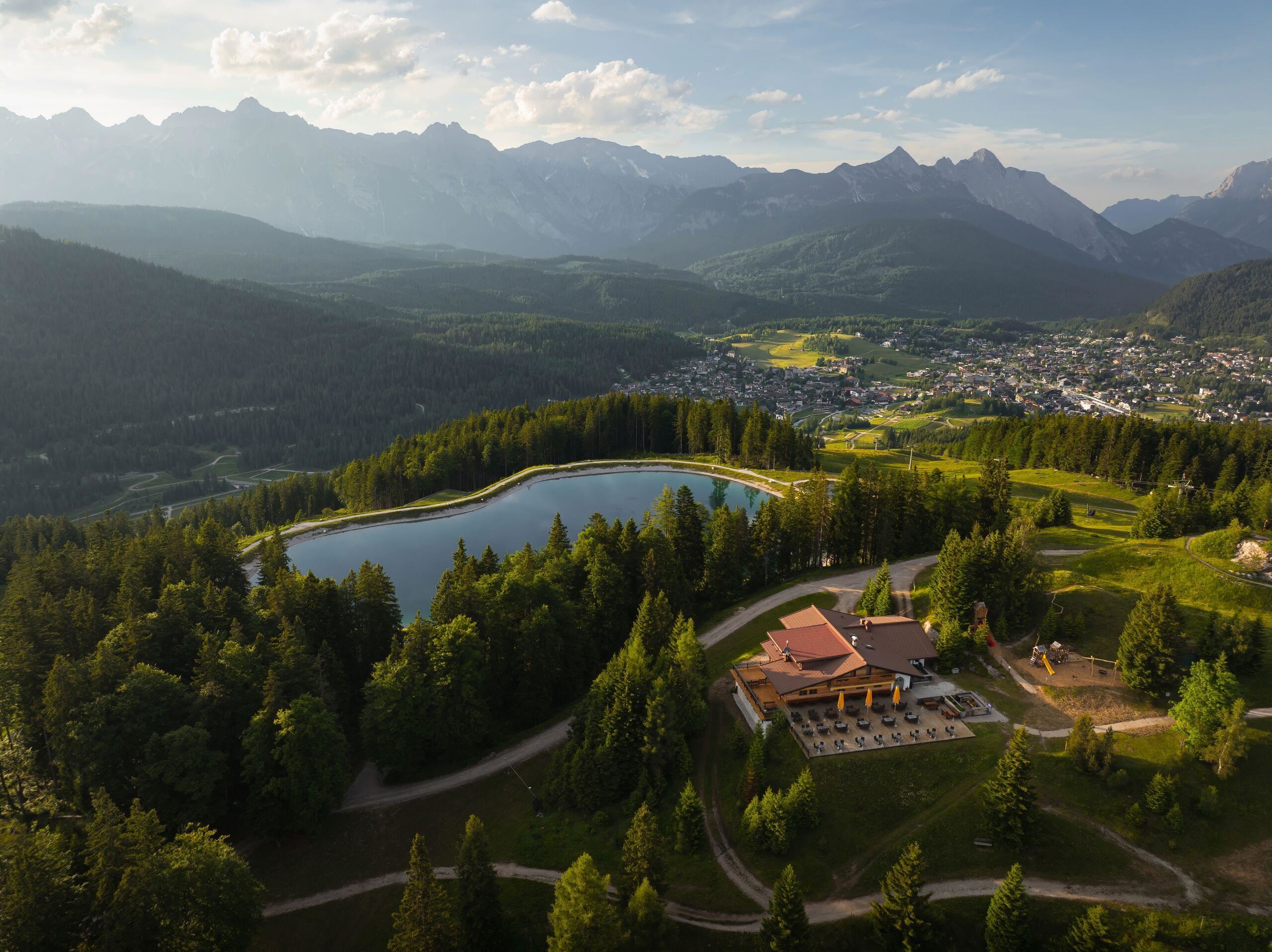
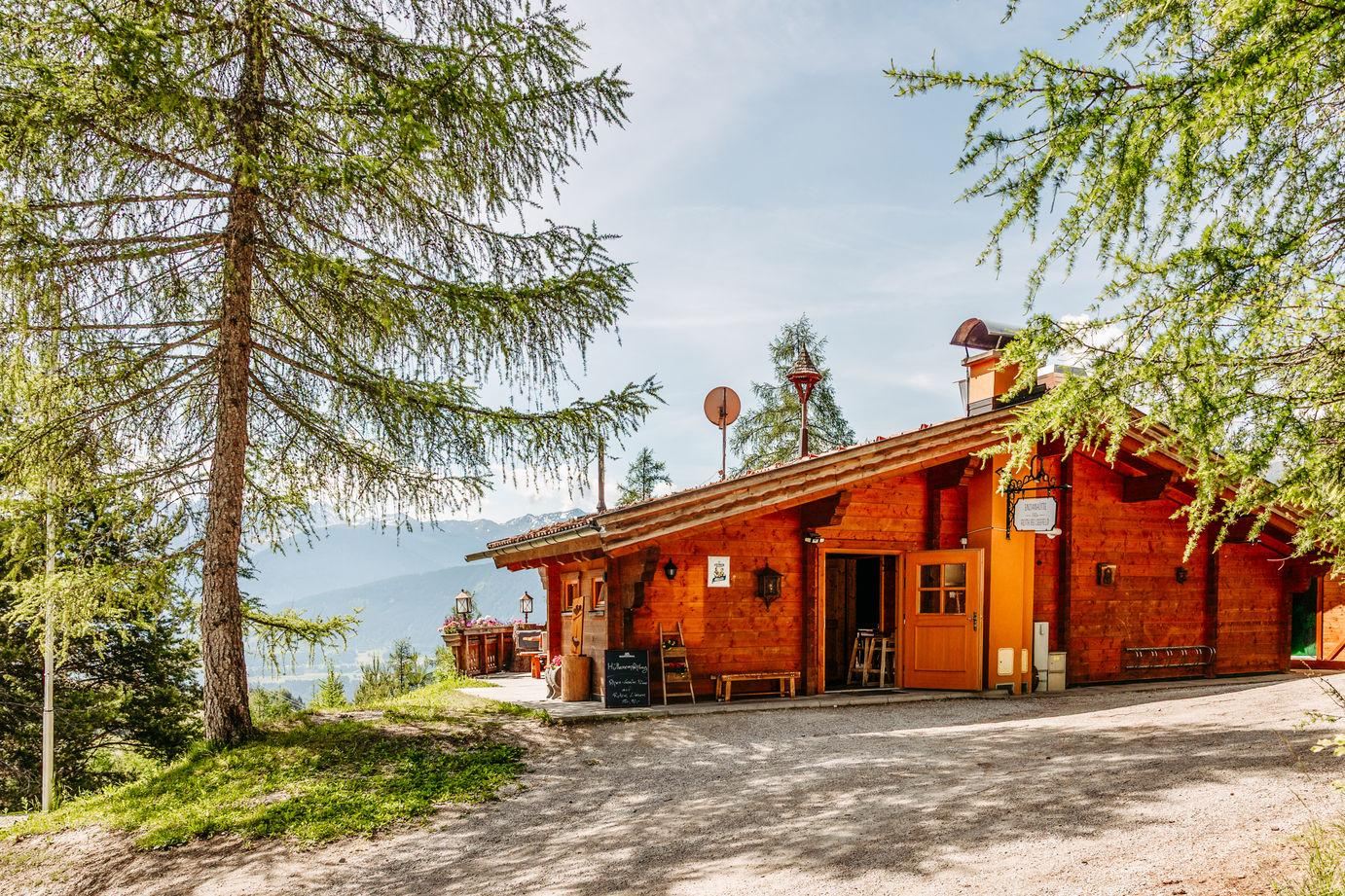
An alm above Mösern near the Möserer See, serving pizza and snacks in the winter season on the wooded plateau.
Lourdesgrotte in Reith
5 km away, in Reith bei Seefeld
A Lourdes grotto near Reith bei Seefeld, a rock shrine to the Virgin Mary built in the manner of the French original.
Cäciliakapelle
5.1 km away, in Reith bei Seefeld
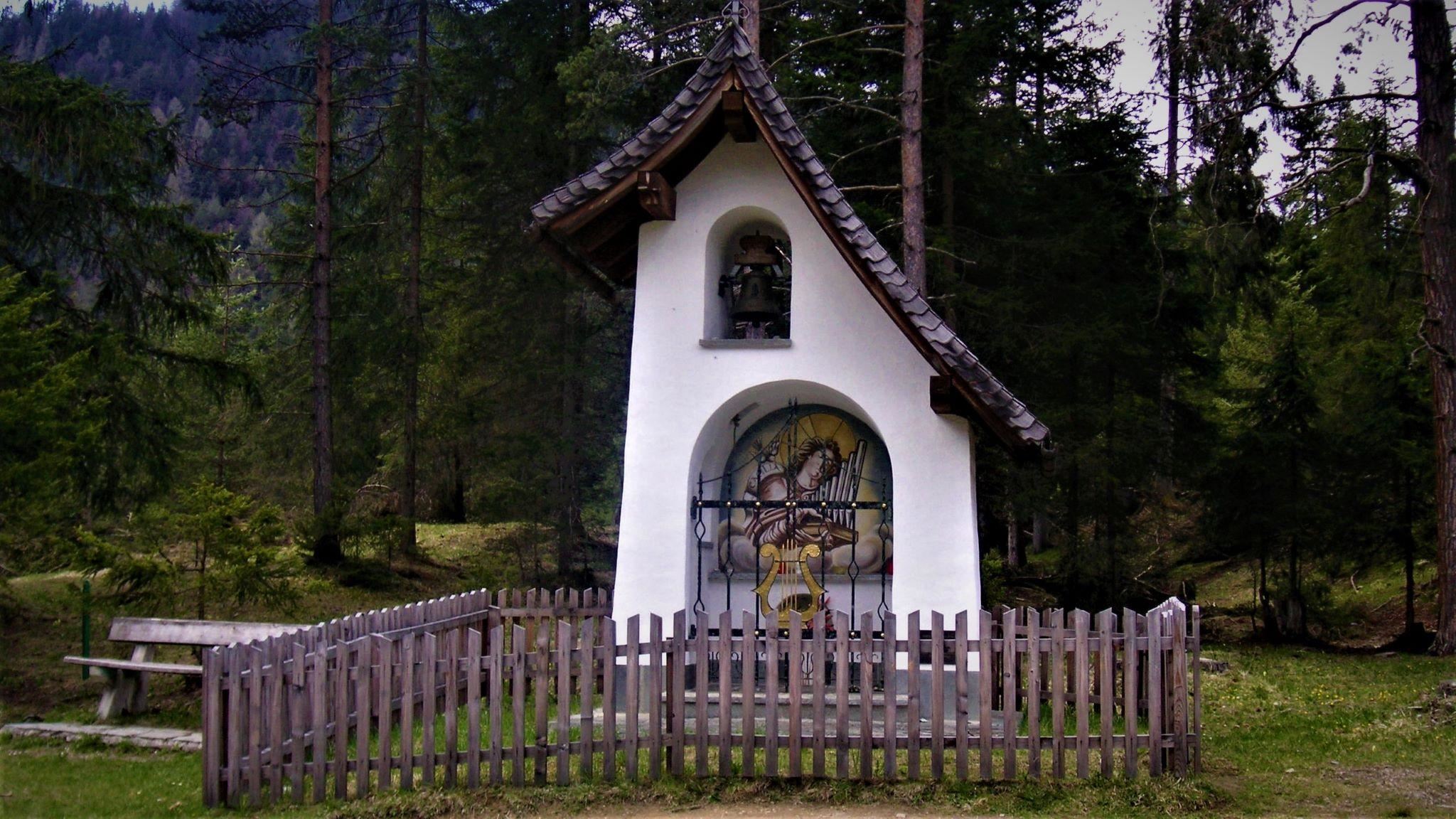
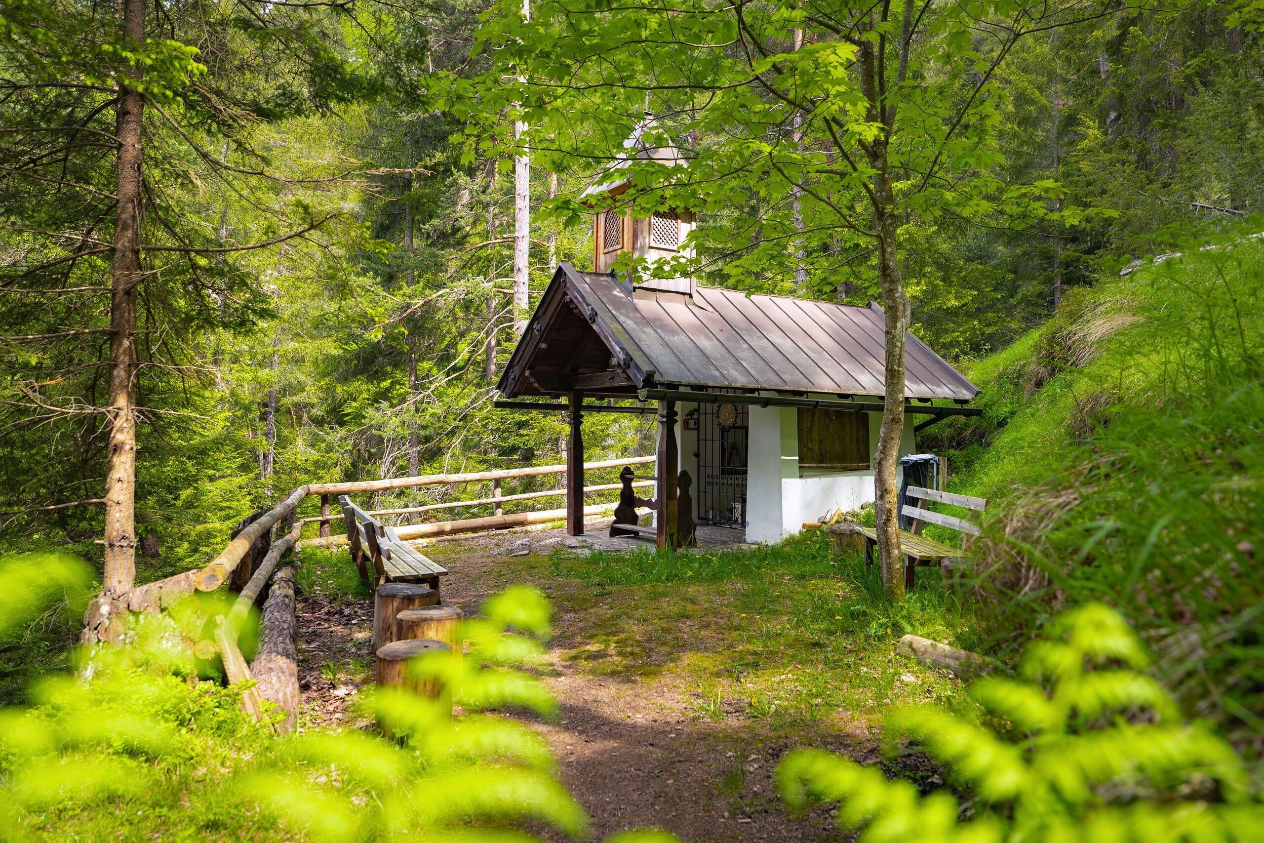
A chapel dedicated to St. Cecilia near Reith bei Seefeld, standing among the meadows on the edge of the village.
Pfarrkirche St. Nikolaus
5.1 km away, in Reith bei Seefeld
The parish church of Reith bei Seefeld, dedicated to St Nicholas, standing in the village at 1,130 m on the southern edge of the plateau.
Sonnenalm
5.2 km away, in Reith bei Seefeld
A sun-facing alm on the Gschwandtkopf near Seefeld and Mösern, an easy stop for walkers and skiers on the family hill.
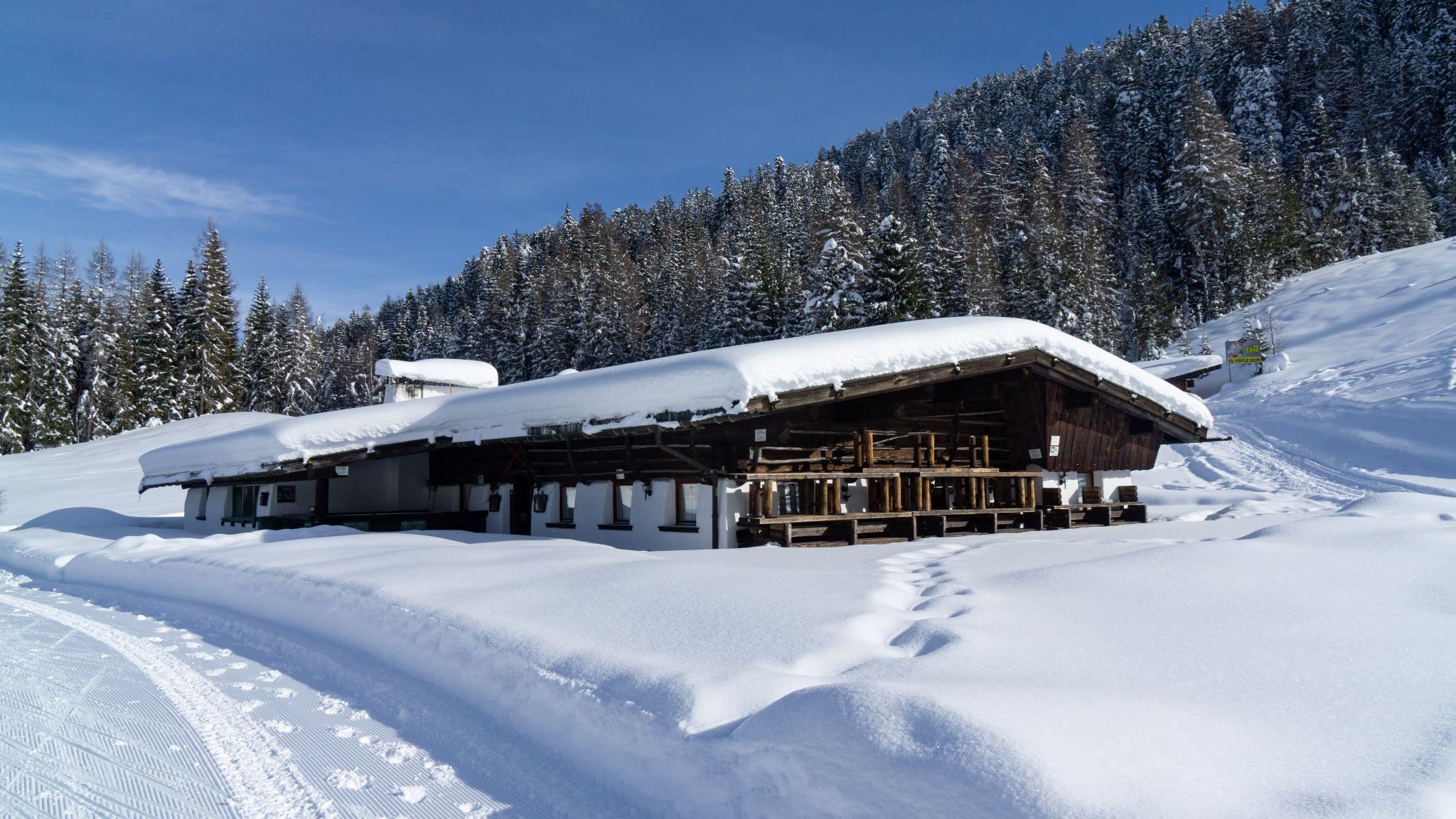
Enzianhütte
5.3 km away, in Reith bei Seefeld
A hut above Reith bei Seefeld named after the gentian, open in summer and winter and easy to reach from the village.
Martes Kapelle
5.3 km away, in Telfs
A small chapel in the meadows near Mösern and Wildmoos, one of the quiet devotional stops of the Seefeld plateau.
Frau Häusl/Kapelle
5.5 km away, in Reith bei Seefeld
A small Marian chapel known as Frau Häusl near Reith bei Seefeld, a modest shrine on the wooded slope above the Inn valley.
Nothing of this kind in Hatting.
Routes
15 from neighbouring places
Peter-Anich-Höhensteig
Big day-long traverse above Oberperfuss and Inzing over the Rauher Kopf, linking the Roßkogelhütte, Inzinger Alm and Peter-Anich-Hütte with more than 2,000 m of total climbing.
- 22.0 km
- Distance
- 2 114 m
- Ascent
- 13 h 7 min
- Duration
- 25
- Check-ins
Archbrandhütte (583)
A steep forest-road climb from the Inn valley at Hatting, gaining nearly 1,100 m in 10 km to a hut at 1,696 m.
- 10.5 km
- Distance
- 1 087 m
- Ascent
- 2 h 31 min
- Duration
- 2
- Check-ins
Von Innsbruck aufs Mieminger Plateau und retour
An 80 km out-and-back from Innsbruck down the Inn past Kranebitten and Hatting, then up onto the Mieminger Plateau.
- 79.5 km
- Distance
- 774 m
- Ascent
- 7 h 47 min
- Duration
- 6
- Check-ins
Rauher Kopf ab Hattingerberg
Steep, quiet route from Hattingerberg over the Archbrandköpfl to the Rauher Kopf, past the Archbrandhütte — over 1,400 m of climbing without lift help.
- 20.2 km
- Distance
- 1 417 m
- Ascent
- 9 h 25 min
- Duration
- 4
- Check-ins
Peter-Anich-Weg
Long mid-mountain traverse in the footsteps of the cartographer Peter Anich, running high above the Inn valley villages for 21 km with modest overall climbing.
- 21.3 km
- Distance
- 676 m
- Ascent
- 6 h 39 min
- Duration
Themenweg Inzing
2.5 km away, in Inzing
Themed round above Inzing with information stops along the way, rolling through fields and forest on the sunny terrace over the Inntal.
- 7.9 km
- Distance
- 384 m
- Ascent
- 2 h 50 min
- Duration
Kalvarienberg
3.2 km away, in Flaurling
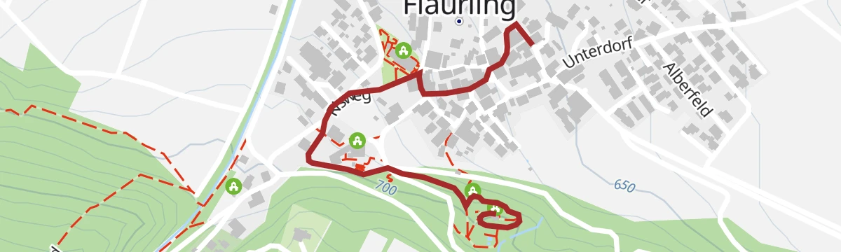
A short calvary-hill loop above Flaurling, climbing past wayside stations to a chapel knoll with views over the Inn valley — done in half an hour.
- 2.0 km
- Distance
- 74 m
- Ascent
- 39 min
- Duration
Biketour Nr. 544 Mösern–Wildmoos rund um den Brunschkopf
4.6 km away, in Telfs
An easy-going forest-road circuit of the Brunschkopf, running from Mösern through the Wildmoos to the Wildmoosalm and back.
- 11.7 km
- Distance
- 306 m
- Ascent
- 1 h 19 min
- Duration
- 18
- Check-ins
Biketour Nr. 545 Gschwandtkopf
4.6 km away, in Telfs
A short forest-road climb to the summit restaurant on the Gschwandtkopf at 1,480 m, starting from the Mösern side.
- 6.2 km
- Distance
- 268 m
- Ascent
- 49 min
- Duration
- 28
- Check-ins
Rangger Köpfl 1.939 m
5.4 km away, in Oberperfuss
Evening classic above Oberperfuss climbing more than 1,000 m past Stieglreith to the Roßkogelhütte just below the summit; a bus line serves the lift base.
- 5.4 km
- Distance
- 1 091 m
- Ascent
- 1 091 m
- Descent
- 3 h 31 min
- Duration
- 29
- Check-ins
Haymon-Klettersteig (Reither Spitze 2.374 m)
8.7 km away, in Reith bei Seefeld
Via ferrata up the north flank of the Reither Spitze to the 2,374 m summit, with short climbing sections, traverses and exposed ground, started from the Seefelder Joch.
- 3.5 km
- Distance
- 452 m
- Ascent
- 3 h 24 min
- Duration
- 97
- Check-ins
Mitterzeigerkopf
9 km away, in Stams
Ski tour over the Kreuzjoch onto the Mitterzeigerkogel, around 700 m of skinning on the slopes above the Stams side of the Inn valley.
- 3.5 km
- Distance
- 719 m
- Ascent
- 719 m
- Descent
- 2 h 18 min
- Duration
- 2
- Check-ins
Kühtai Panorama Klettersteig
11.2 km away, in Silz
Short via ferrata above Kühtai reached with the Drei-Seen-Bahn, climbing from the scree below the Gaiskogelscharte; the descent passes the Finstertal reservoir and the Drei-Seen-Hütte.
- 767 m
- Distance
- 287 m
- Ascent
- 1 h 52 min
- Duration
Nasses Tal (Route 34)
11.9 km away, in Götzens
A short ride out of Götzens past the Axams tourist office and up into the wooded side valley above the two villages.
- 11.7 km
- Distance
- 339 m
- Ascent
- 1 h 21 min
- Duration
Von Innsbruck nach Kühtai
2.7 km away, in Flaurling
A long road ride out of the Inn valley, climbing to the saddle at 2,017 m with the Dortmunder Hütte just below it.
- 106.6 km
- Distance
- 1 930 m
- Ascent
- 11 h 16 min
- Duration
- 86
- Check-ins
Kohlerkapelle-Flaurlinger Alm (5055)
3.9 km away, in Oberhofen im Inntal
A forest-road climb out of the Inn valley near Oberhofen, gaining over 1,000 m to reach the Flaurlinger Alm at 1,614 m.
- 17.5 km
- Distance
- 1 030 m
- Ascent
- 2 h 44 min
- Duration
- 1
- Check-ins
Inzing - Inzinger Alm
1.9 km away, in Inzing
Long forest ascent from Inzing to the Inzinger Alm, passing the Knappenhütte on the way — a full-day out-and-back with about 1,000 m of climbing above the Inntal.
- 18.1 km
- Distance
- 1 010 m
- Ascent
- 7 h 9 min
- Duration
- 2
- Check-ins
Hundstalsee
4.3 km away, in Inzing
Climb past the Inzinger Alm into the Hundstal to its mountain tarn, with the Morettihütte perched nearby — a rewarding half-day with 650 m of ascent.
- 6.8 km
- Distance
- 649 m
- Ascent
- 4 h 2 min
- Duration
- 4
- Check-ins
Alpenrosensteig 14a - Rundwanderung
4 km away, in Oberperfuss
Easy loop on the Rangger Köpfl above Oberperfuss linking the Krimpenbachsattel and the Roßkogelhütte; the village gondola takes the climb out of the approach.
- 6.0 km
- Distance
- 333 m
- Ascent
- 2 h 22 min
- Duration
- 21
- Check-ins
Biketour mit Kinderanhänger: Rund um den Brunschkopf Nr. 544
4.6 km away, in Telfs
A circuit gentle enough for a child trailer, on wide forest roads around the Brunschkopf with a stop at the Wildmoosalm.
- 11.7 km
- Distance
- 306 m
- Ascent
- 1 h 19 min
- Duration
- 18
- Check-ins
No routes of this kind in Hatting yet.
The region's own picks

Featured route
Peter-Anich-Höhensteig
Big day-long traverse above Oberperfuss and Inzing over the Rauher Kopf, linking the Roßkogelhütte, Inzinger Alm and Peter-Anich-Hütte with more than 2,000 m of total climbing.
Planning a trip to Hatting?
Everything else Tyrol has, in one place


Take Hatting with you into the mountains
Every route on this page with 3D terrain, GPX navigation and offline maps — including the valleys with no signal.
Data sources
- Official website: innsbruck.info ↗
- Routes and highlights: Region Seefeld, Innsbruck Tourismus
- Published as open data by the tourist boards named above.
- Region summary generated from the board's own material.
