
 Via ferrata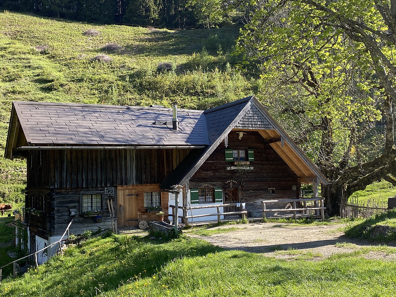
 Historic site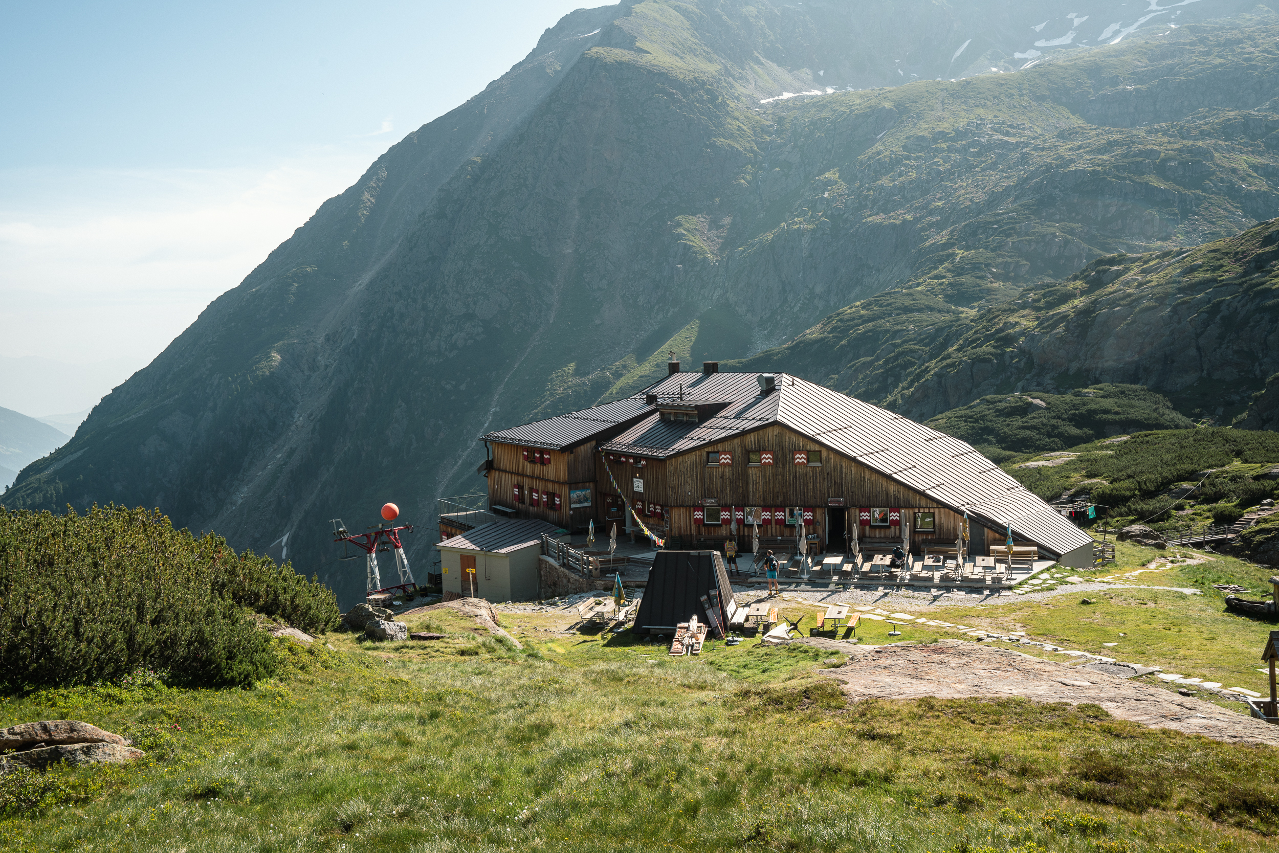









Curated by Wipptal Tourismus
Gschnitz
A mountain-farming village of under 500 people at 1241 m in the Gschnitztal, framed by the Tribulaun peaks, with a mill hamlet and the Sandesbach waterfall.
- 1Highlights
- 22Routes
- Featured summit · Habicht
Highlights
14 from neighbouring places
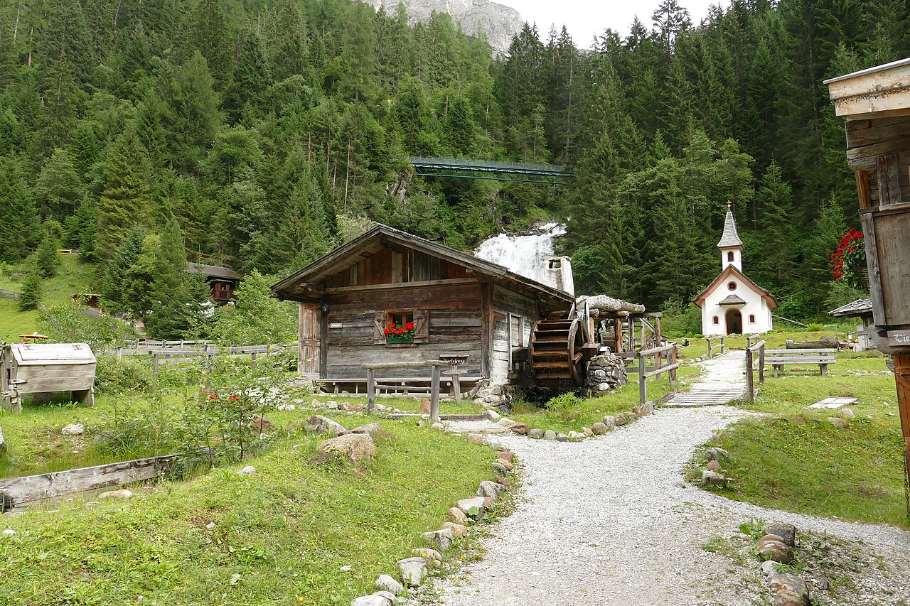
Mühlendorf Gschnitz
An open-air ensemble of restored water mills at Gschnitz in the Gschnitztal, a side valley of the Wipptal, with milling shown in season.
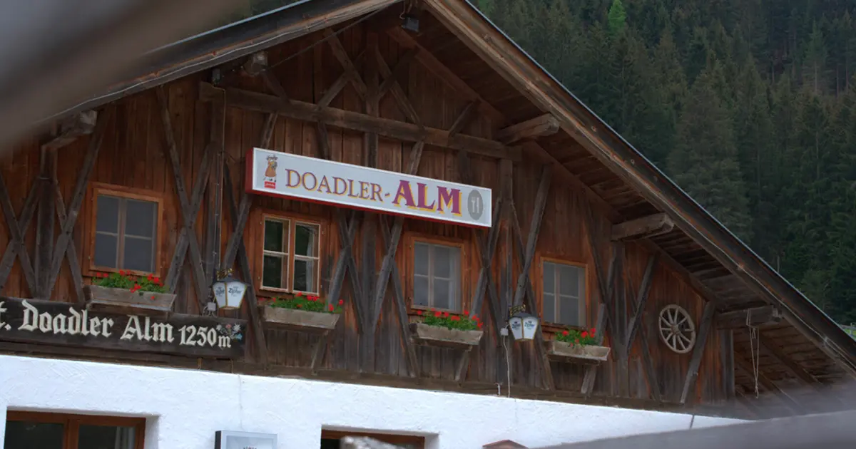
Doadler Alm 1.250m
6.7 km away, in Neustift im Stubaital
A pasture hut at 1,250 m in the upper Stubaital above Neustift, an easy walk up from the valley floor near Falbeson.
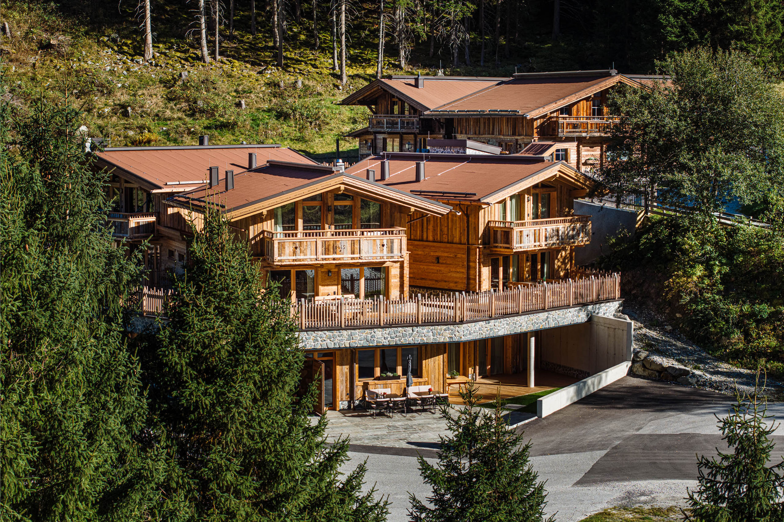
Gletscher Chalet
6.8 km away, in Neustift im Stubaital
A chalet-style mountain restaurant and lodge in the upper Stubaital near Neustift, on the way toward the Stubai Glacier.
Tschangelairalm 1.410m
7.7 km away, in Neustift im Stubaital
A pasture hut at 1,410 m by the Ruetz in the upper Stubaital near Ranalt, an easy stop on the valley path toward the glacier.
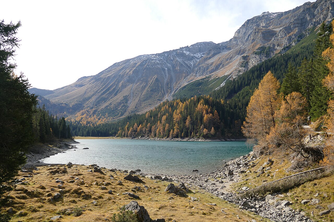
Obernbergersee
7.7 km away, in Obernberg am Brenner
A mountain lake at the head of the Obernberg valley below the Tribulaun peaks, reached by an easy walk from Obernberg am Brenner.
Klettersteig: Nürnberger Hütte
8.1 km away, in Neustift im Stubaital
A protected climbing route beside the Nürnberger Hütte in the rear Stubaital, laid out on the rock close to the Alpine Club hut.
Steiner Alm
8.2 km away, in Obernberg am Brenner
A working pasture hut above Obernberg am Brenner, serving simple farm dishes to walkers heading toward the Obernberger See.
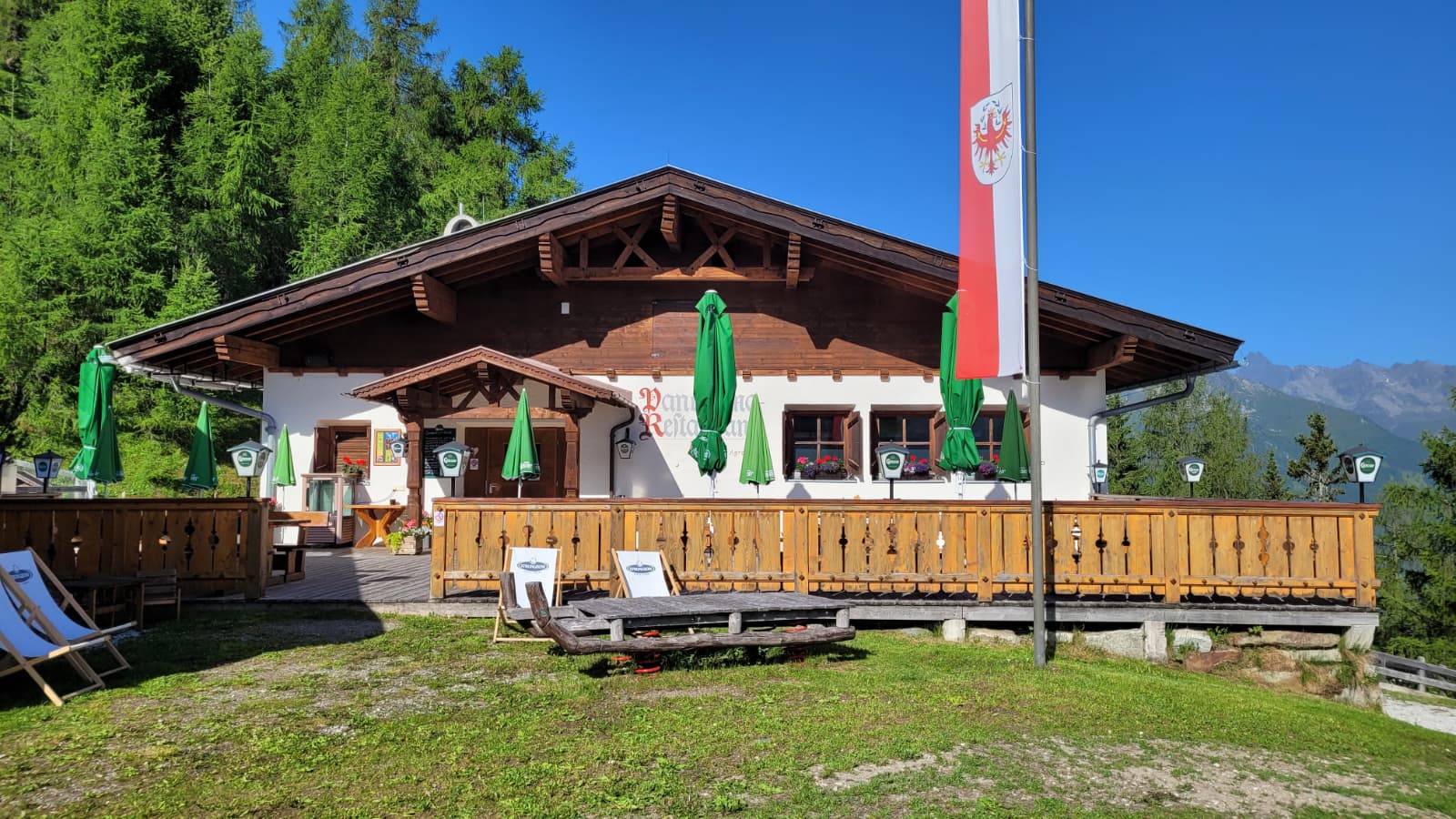
Panoramarestaurant Elfer 1.812m
8.6 km away, in Neustift im Stubaital
A panorama restaurant at 1,812 m by the Elfer lifts' top station above Neustift, with terrace views along the Stubaital.
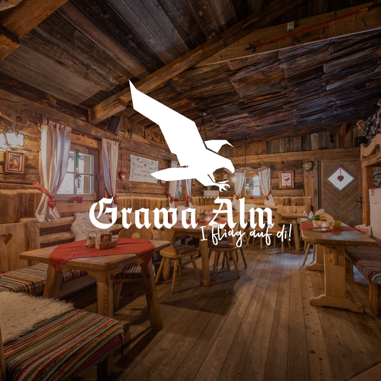
Grawa Alm 1.530m
9.6 km away, in Neustift im Stubaital
A pasture hut at 1,530 m in the upper Stubaital, standing opposite the broad Grawa waterfall on the WildeWasserWeg.
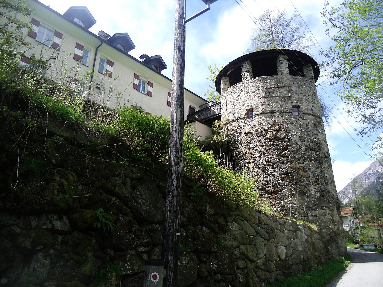
Schloss Schneeberg
10 km away, in Trins
A historic castle in the Wipptal, the Tirolean valley running south from Innsbruck towards the Brenner Pass, counted among the area's sights.
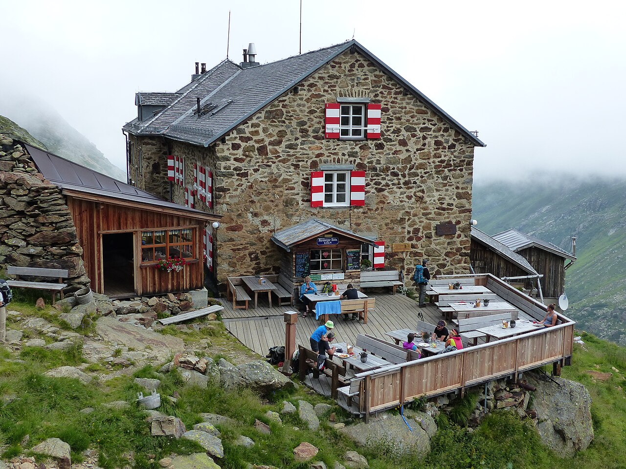
Nürnberger Hütte
10.1 km away, in Neustift im Stubaital
An Alpine Club hut at about 2,280 m in the Langental at the rear of the Stubaital, a Stubai High Trail stage and a base for the Wilder Freiger.
Sulzenauhütte
10.3 km away, in Neustift im Stubaital
An Alpine Club hut above the Sulzenau basin in the rear Stubaital, a walkers' and climbers' base near the WildeWasserWeg.
Sulzenauhütte 2.196m
10.3 km away, in Neustift im Stubaital
An Alpine Club hut at 2,196 m above the Sulzenau valley step, a Stubai High Trail stage near the Blaue Lacke and Grünausee lakes.
Kampler Seestube 1.000m
11.6 km away, in Neustift im Stubaital
A restaurant at about 1,000 m on the shore of the Kampler See near Neustift, serving bathers and cyclists on the valley route.
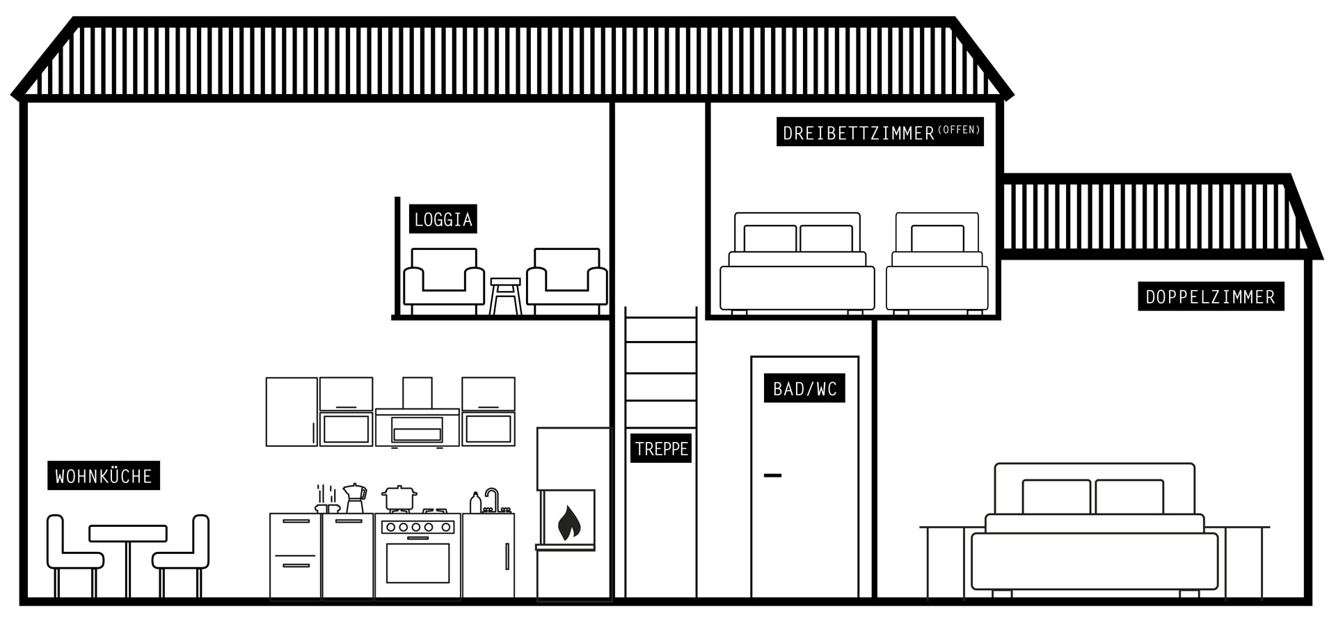
Ausserwieserhof Kaser
11.9 km away, in Neustift im Stubaital
A rustic hut, or Kaser, belonging to the Ausserwieserhof farm above Neustift, rented out as a simple mountain retreat.
Nothing of this kind in Gschnitz.
Routes
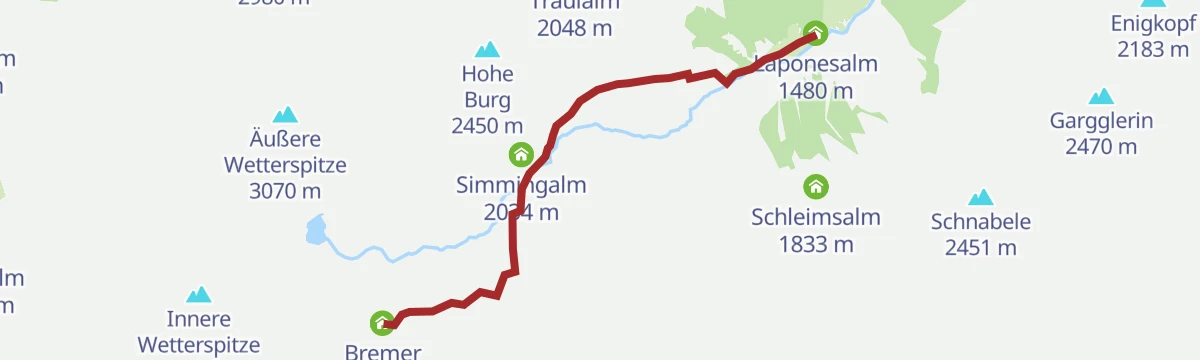
Wanderung Laponesalm
A gentle valley walk from the Gasthof Feuerstein parking at the end of the Gschnitztal to the Laponesalm, following the young Gschnitzbach upstream.
- 6.2 km
- Distance
- 225 m
- Ascent
- 2 h
- Duration
- 13
- Check-ins
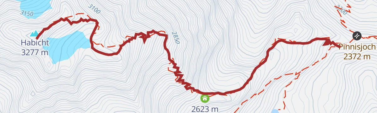
Innsbruckerhütte - Habicht
Summit climb from the Innsbrucker Hütte onto the Habicht, one of the Stubai's great 3,000 m viewpoints — nearly 900 m of blocky, partly cable-secured terrain above the Pinnisjoch.
- 2.6 km
- Distance
- 889 m
- Ascent
- 4 h 44 min
- Duration
- 33
- Check-ins
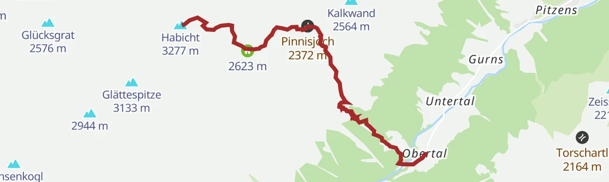
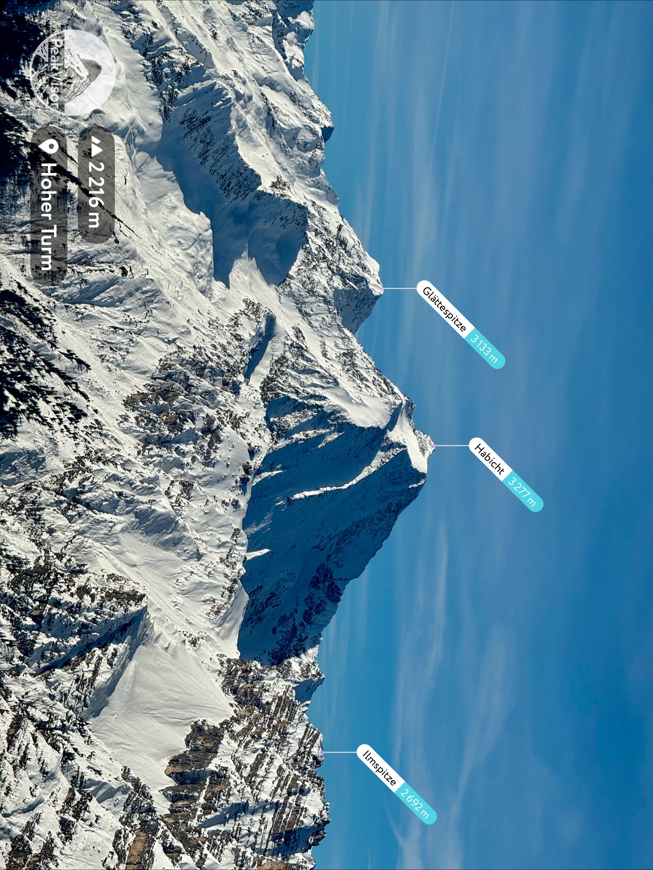
Habicht (3277m)
The classic route onto the Habicht (3,277 m) from the Innsbrucker Hütte, a serious high-alpine ascent with secured passages, approached from the Gschnitztal.
- 6.4 km
- Distance
- 2 000 m
- Ascent
- 10 h 43 min
- Duration
- 48
- Check-ins
5058 Mountainbike Laponesalm
A short, easy forest-road climb at the head of the Gschnitztal, passing the goods lift that serves the Innsbrucker Hütte.
- 3.0 km
- Distance
- 197 m
- Ascent
- 30 min
- Duration
- 13
- Check-ins
45 Gschnitztalradweg
A valley cycle route up the Gschnitztal from Trins to Gschnitz, passing the ski lift and the Kalvarienberg on the way.
- 14.6 km
- Distance
- 322 m
- Ascent
- 1 h 36 min
- Duration
- 8
- Check-ins
ASA Alpine Safety Area
Short practice loop at the Alpine Safety Area near Gschnitz, where beginners can try secured steps and basic via-ferrata moves close to the Krustner Hof.
- 1.5 km
- Distance
- 240 m
- Ascent
- 1 h 22 min
- Duration
- 1
- Check-ins
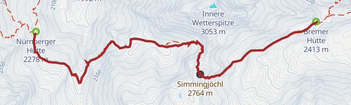
Bremer Hütte-Nürnberger Hütte über Simmingjoch
A hut-to-hut leg of the Stubai high route, crossing the Simmingjöchl from the Bremer Hütte to the Nürnberger Hütte through blocky, glacier-smoothed terrain.
- 5.9 km
- Distance
- 471 m
- Ascent
- 3 h 2 min
- Duration
- 17
- Check-ins
Ilmspitze
A long climb from Gschnitz via the Innsbrucker Hütte at the Pinnisjoch onto the Ilmspitze, a rocky limestone perch high above the Gschnitztal.
- 16.1 km
- Distance
- 1 941 m
- Ascent
- 11 h 34 min
- Duration
- 28
- Check-ins
barrierefreier Rundweg Lahnwiesen
Barrier-free loop through the Lahnwiesen meadows near Gschnitz, a level valley-floor round passing the Krustner Hof.
- 4.0 km
- Distance
- 62 m
- Ascent
- 1 h 6 min
- Duration
- 1
- Check-ins
🌟 Gschnitztaler Hüttenstern Gschnitzer Tribulaunhütte
Part of the Gschnitztal hut-star network, this day route climbs from the valley floor past the Inerer Siller to the Tribulaunhaus beneath the Tribulaun's rock walls.
- 14.2 km
- Distance
- 794 m
- Ascent
- 5 h 37 min
- Duration
- 12
- Check-ins
Bremer Hütte - Innere Wetterspitze
A very long Gschnitztal day past the Laponesalm and the Bremer Hütte onto the Innere Wetterspitze, with the Simmingsee passed on the upper section.
- 20.9 km
- Distance
- 1 944 m
- Ascent
- 12 h 8 min
- Duration
- 26
- Check-ins
 Innere Wetterspitze 3 053 m
 Bremer Hütte 2 413 m
- Laponesalm 1 480 m
- Inerer Siller 1 294 m
 Simmingsee 2 011 m
Rundweg Sandeswasserfall
Flat family loop at the head of the Gschnitztal to the Sandeswasserfall, an easy gravel round to the fall's spray from the Gasthof Feuerstein car park.
- 1.1 km
- Distance
- 41 m
- Ascent
- 22 min
- Duration
Wasserweg Gschnitztal
Water-themed valley trail through the Gschnitztal between Trins and Gschnitz, linking springs, streams and hut stops below the Tribulaun peaks.
- 25.2 km
- Distance
- 523 m
- Ascent
- 7 h 11 min
- Duration
- 9
- Check-ins
Klassischer Zustieg zur Innsbrucker Hütte (2.370 m)
The classic hut approach from the Gschnitztal to the Innsbrucker Hütte at the Pinnisjoch, a steady 1,100 m climb from the Feuerstein parking.
- 6.7 km
- Distance
- 1 120 m
- Ascent
- 6 h 22 min
- Duration
- 25
- Check-ins
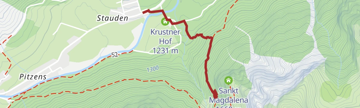
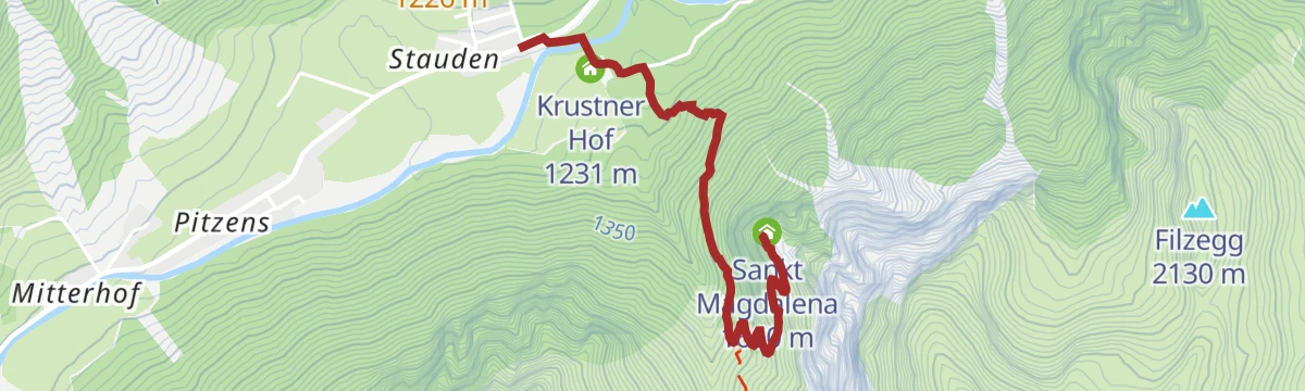
Zum Wallfahrtskirchlein St. Magdalena (1.661 m)
Steady 400 m climb from the Gschnitztal to the old pilgrimage chapel of St. Magdalena on its sunny 1,661 m shelf, with a jausenstation alongside for the break.
- 2.3 km
- Distance
- 434 m
- Ascent
- 2 h 26 min
- Duration
- 4
- Check-ins
🌟 Gschnitztaler Hüttenstern Bremer Hütte
A long Gschnitztal hut day past the Laponesalm up to the Bremer Hütte, with the Simmingsee a short stroll beyond in the boulder cirque above.
- 15.7 km
- Distance
- 1 160 m
- Ascent
- 7 h 37 min
- Duration
- 25
- Check-ins
- Bremer Hütte 2 413 m
- Laponesalm 1 480 m
- Inerer Siller 1 294 m
- Simmingsee 2 011 m
🌟 Gschnitztaler Hüttenstern Innsbrucker Hütte
A Gschnitztaler Hüttenstern day to the Innsbrucker Hütte at the Pinnisjoch, climbing steadily out of the valley with the Habicht towering above the hut.
- 9.5 km
- Distance
- 1 110 m
- Ascent
- 6 h 38 min
- Duration
- 25
- Check-ins
Jubiläumssteig Innsbrucker Hütte
Steep anniversary route from the Gschnitztal to the Innsbrucker Hütte at the Pinnisjoch, climbing almost 1,200 m — the quieter alternative to the Pinnistal approach.
- 5.9 km
- Distance
- 1 181 m
- Ascent
- 6 h 34 min
- Duration
- 19
- Check-ins
Zustieg Bremer Hütte
Hut approach from the Gschnitztal car park past the Laponesalm to the Bremer Hütte, gaining about 950 m on a steep, well-built alpine path.
- 4.3 km
- Distance
- 950 m
- Ascent
- 5 h 14 min
- Duration
- 16
- Check-ins
Rundtour Gargglerin - Tribulaunhütte
Demanding loop from the Gschnitztal to the Tribulaunhaus and on over the Gargglerin, returning past the Inerer Siller — 1,350 m of climbing beneath the Tribulaun walls.
- 12.2 km
- Distance
- 1 353 m
- Ascent
- 8 h 10 min
- Duration
- 14
- Check-ins
Rundtour Martairalm-Muttenjoch-Gstreinjöchl-Tribulaunhütte
Big Gschnitztal circuit from St. Magdalena over the Muttenjoch and Gstreinjöchl to the Tribulaunhaus, a full alpine day beneath the Tribulaun walls.
- 19.3 km
- Distance
- 1 557 m
- Ascent
- 10 h 1 min
- Duration
- 14
- Check-ins
Gschnitzer Tribulaun (2.946m)
Serious summit day from the Gschnitztal: past the Tribulaunhaus and up scree and rock to the Gschnitzer Tribulaun, almost 1,700 m above the trailhead.
- 7.0 km
- Distance
- 1 673 m
- Ascent
- 9 h 10 min
- Duration
- 6
- Check-ins
No routes of this kind in Gschnitz yet.
The region's own picks

Featured route
Wanderung Laponesalm
A gentle valley walk from the Gasthof Feuerstein parking at the end of the Gschnitztal to the Laponesalm, following the young Gschnitzbach upstream.
Planning a trip to Gschnitz?
Everything else Tyrol has, in one place


Take Gschnitz with you into the mountains
Every route on this page with 3D terrain, GPX navigation and offline maps — including the valleys with no signal.
Data sources
- Official website: wipptal.at ↗
- Routes and highlights: Wipptal Tourismus, Tourismusverband Stubai Tirol
- Published as open data by the tourist boards named above.
- Region summary generated from the board's own material.
