








Curated by Dolomitiprealpi
Grigno
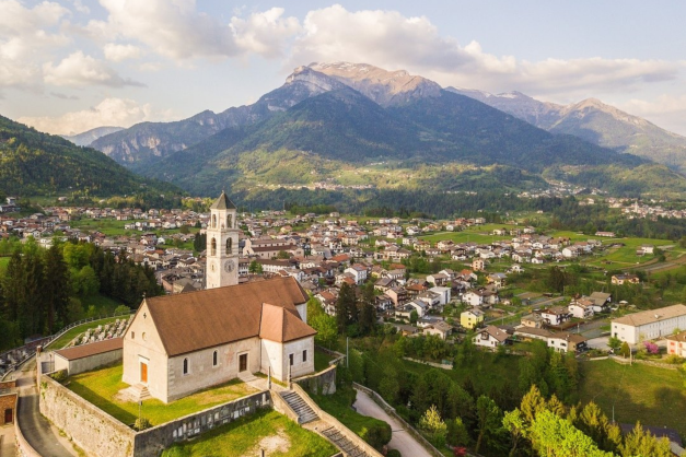
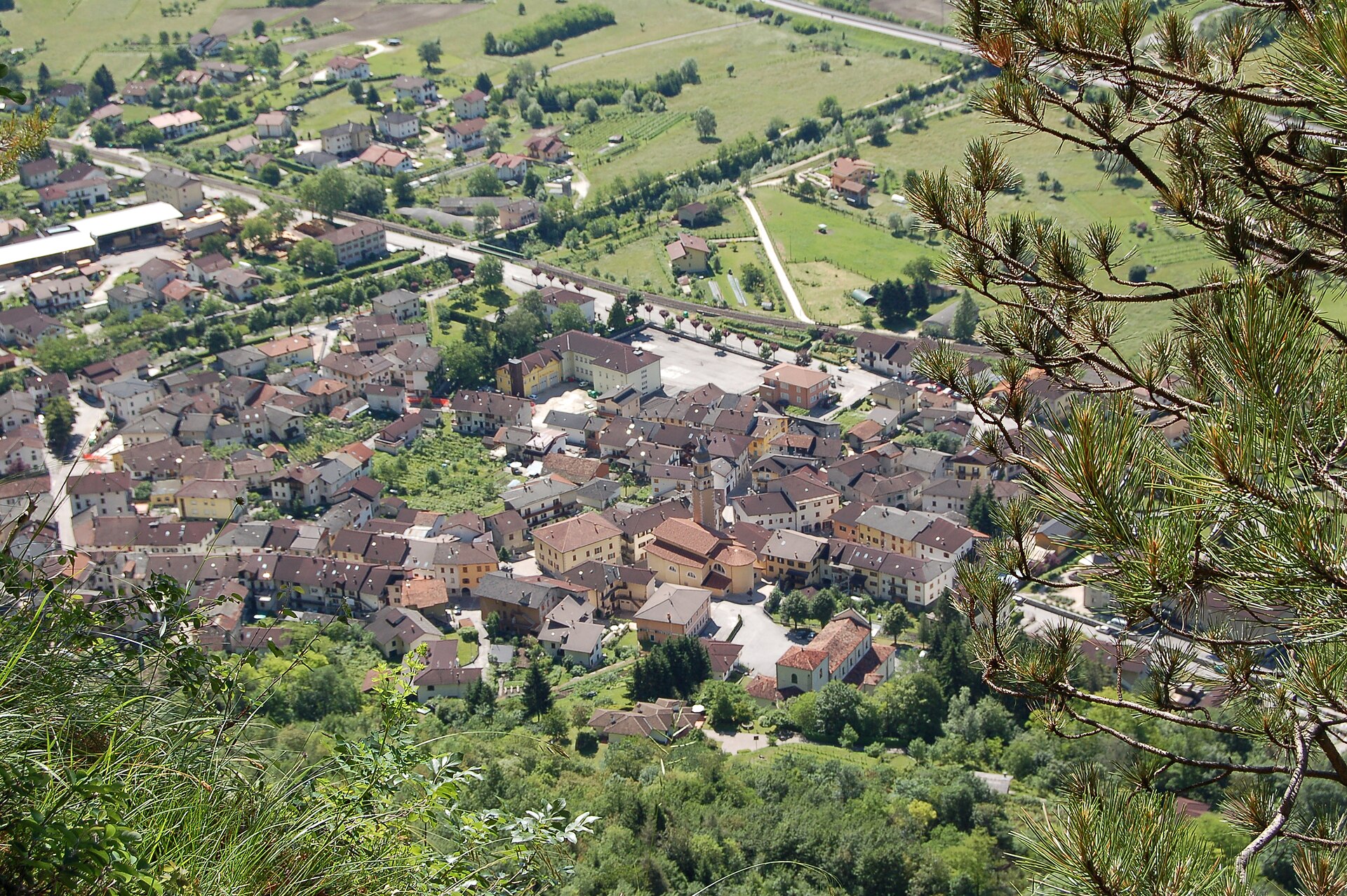
Eastern Valsugana comune on the Brenta at the Veneto border, with the Bigonda karst caves in the hillside.
- 11Highlights
- 15Routes
- Featured summit · Monte Cucco
Highlights
All 11 from neighbouring places
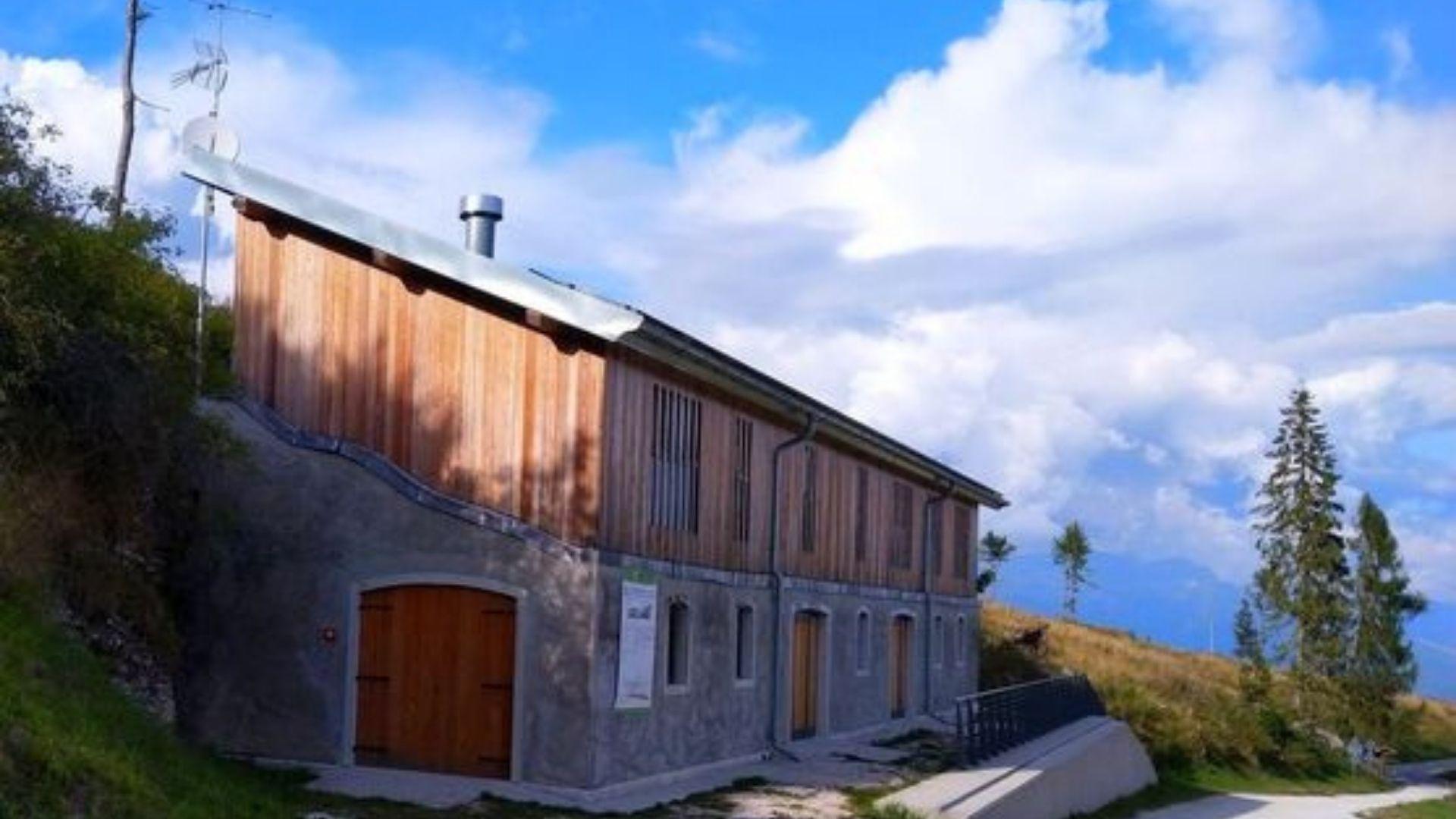
Rifugio La Casermetta
4.9 km away, in Arsiè
A hut on the wooded ridges above Arsiè, between the Lago del Corlo and the Grappa massif.
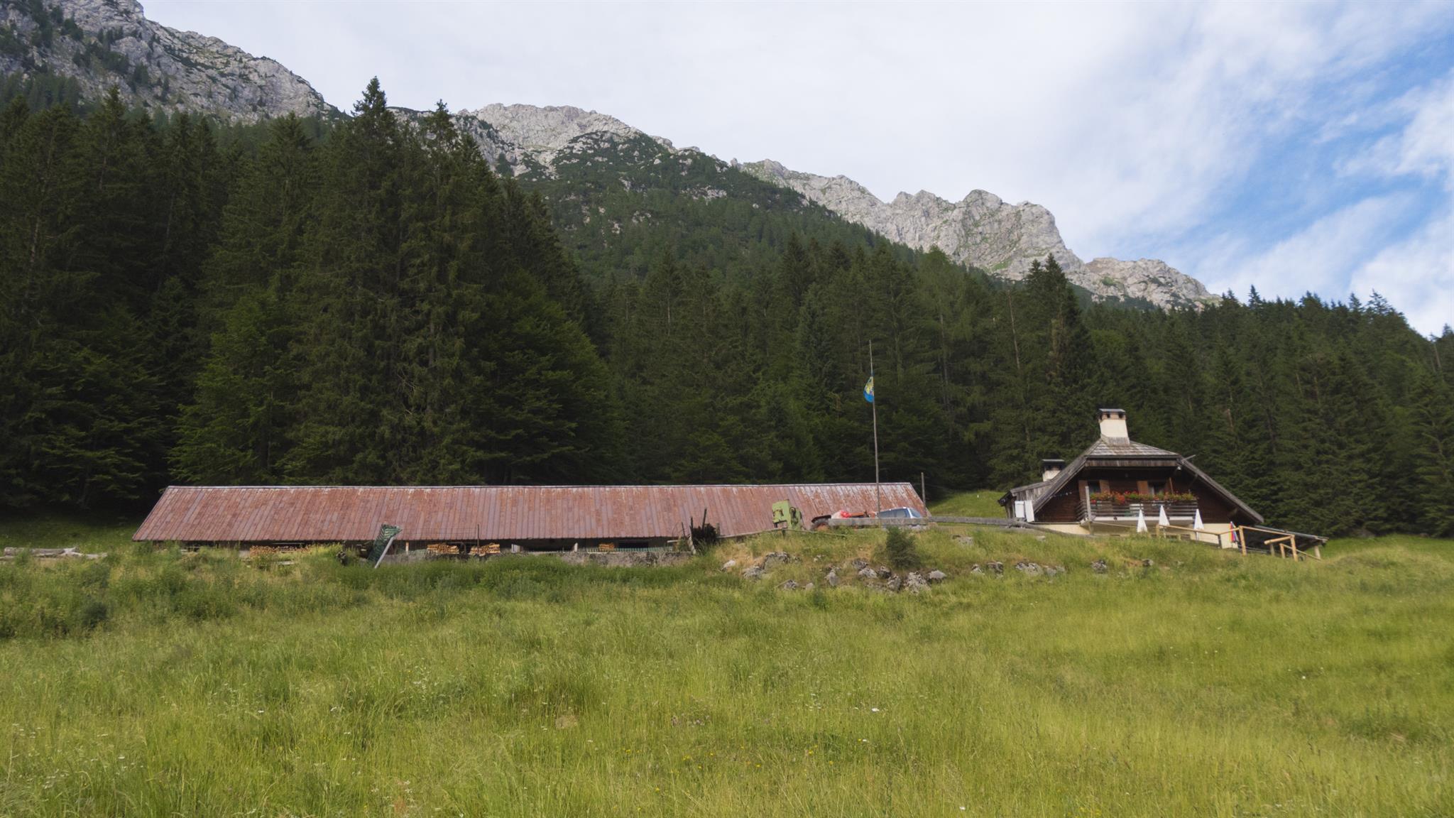
Malga Rio Secco
9 km away, in Asiago
A working dairy hut on the Asiago plateau, on the trails through the Val Rio Secco.
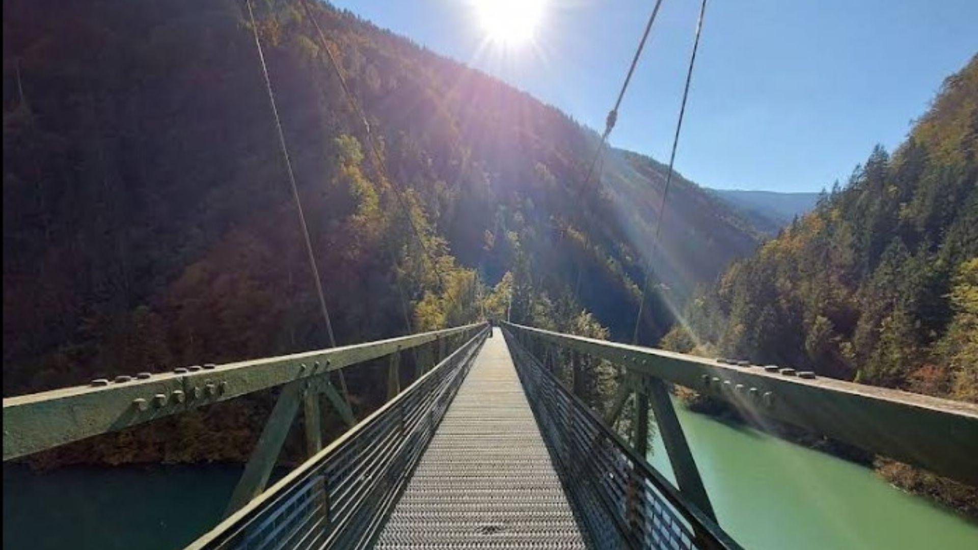
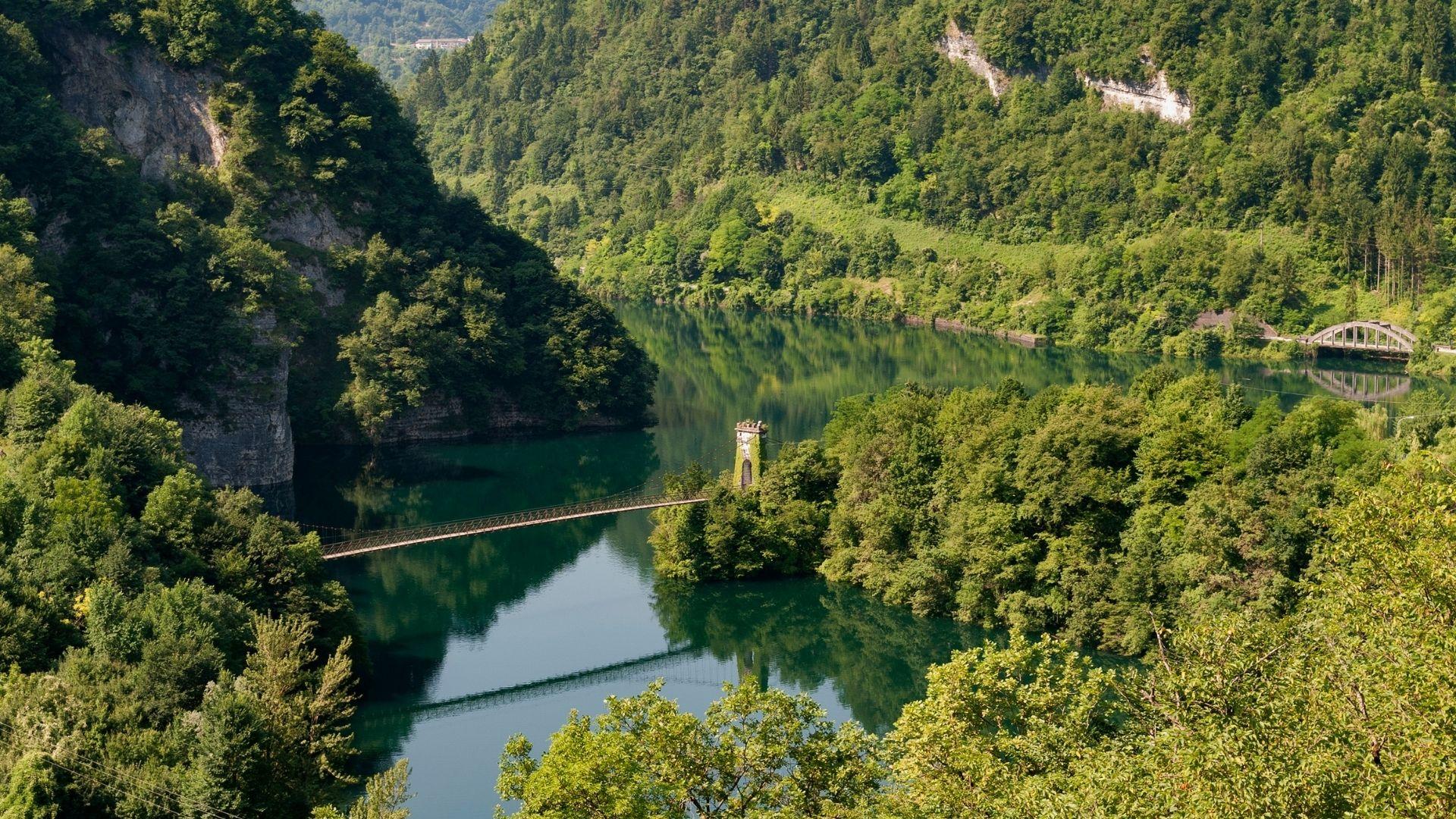
Passerella sul Lago Senaiga
9 km away, in Lamon
A footbridge crossing the reservoir of Lago Senaiga, in the wooded valley below the plateau of Lamon.
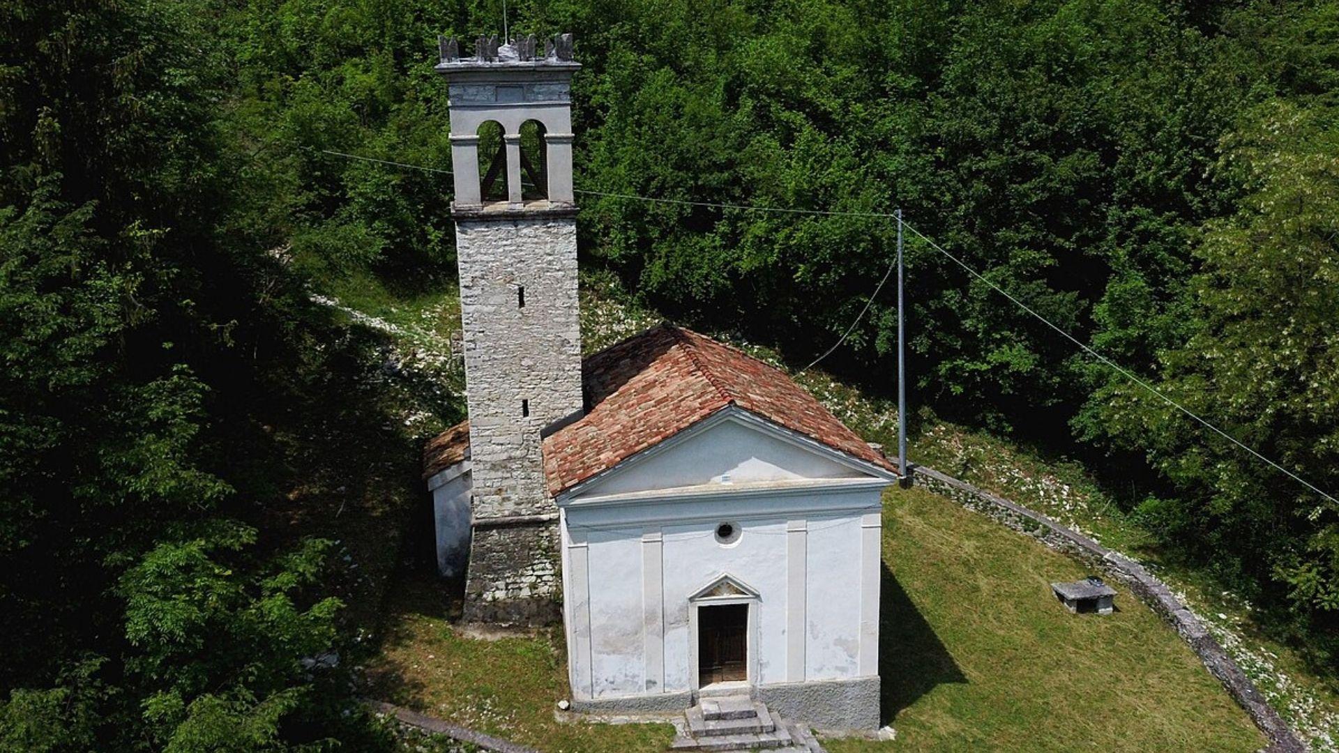
Chiesa Antica dei Santi Ippolito, Cassiano e Antonio da Padova
10.1 km away, in Arsiè
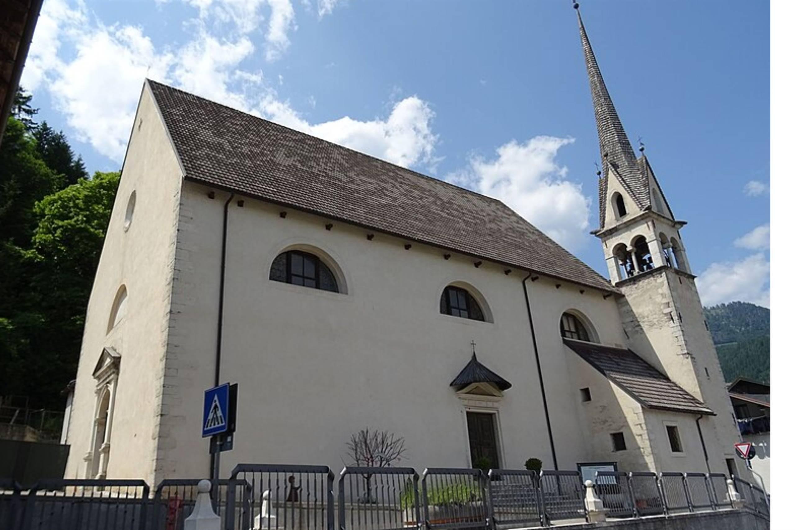
The old parish church of Arsiè, above the Cismon valley near the Lago del Corlo, dedicated to Hippolytus, Cassian and Anthony of Padua.
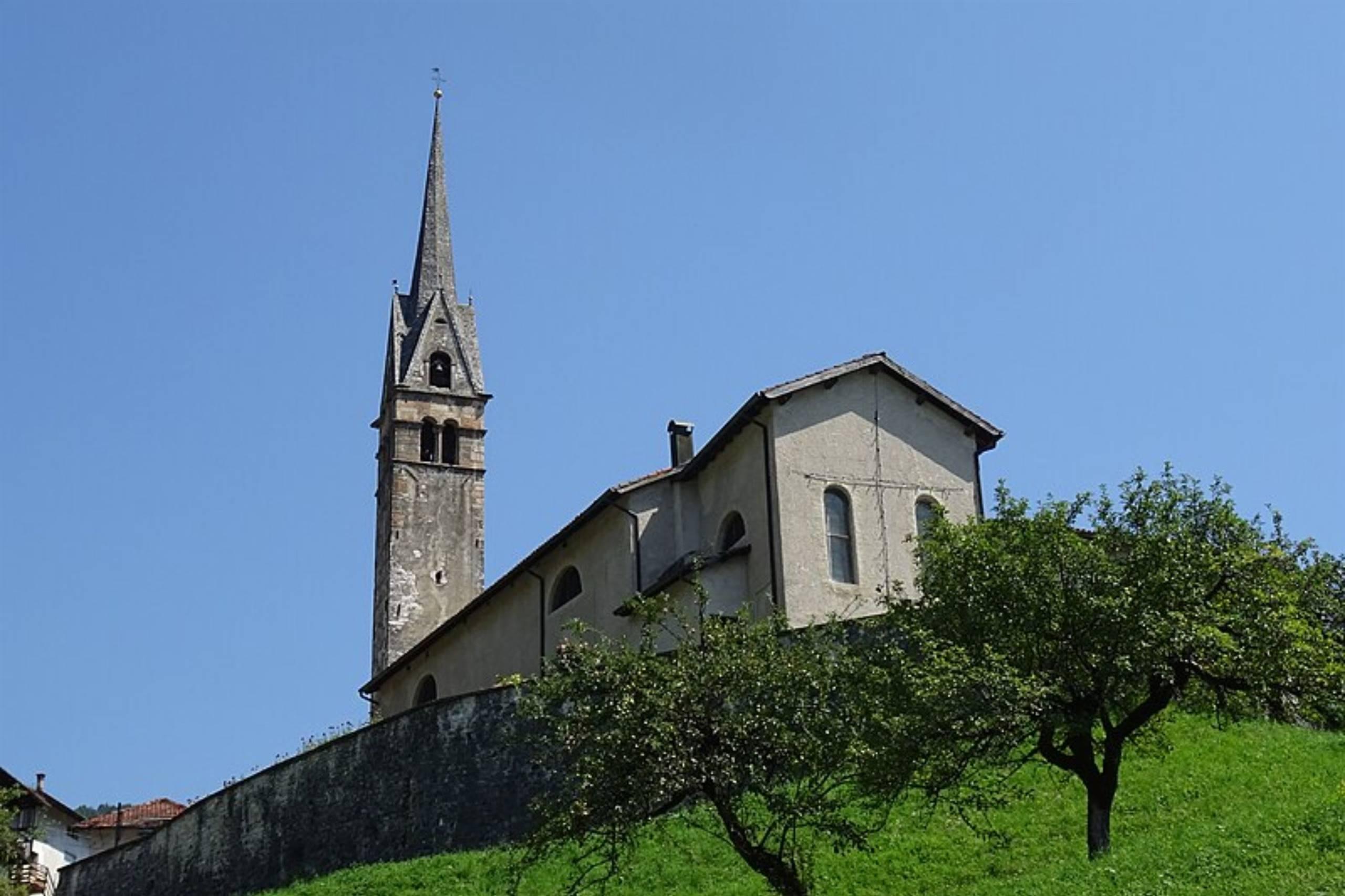
Chiesa di San Pietro Apostolo
10.4 km away, in Lamon
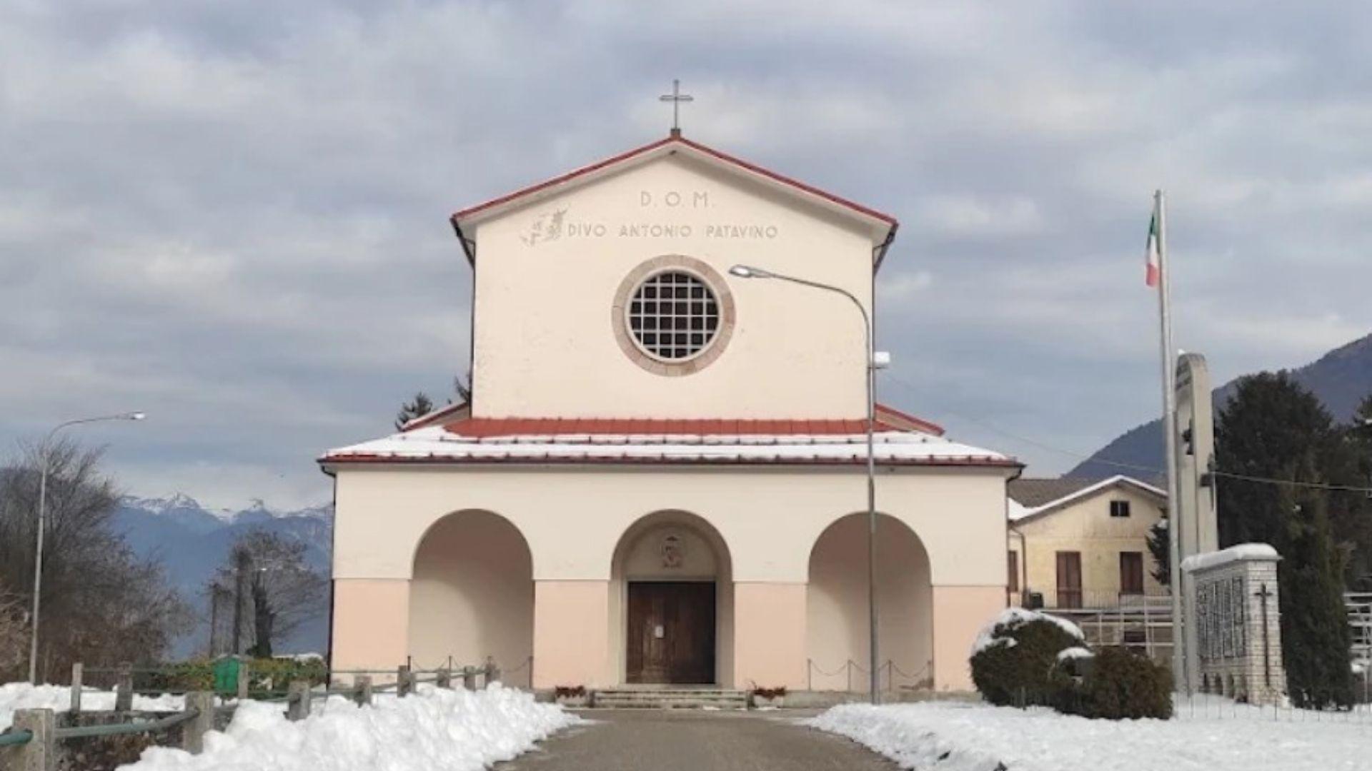
The parish church of Lamon, standing on the plateau above the Senaiga valley.
Chiesa di San Daniele
10.4 km away, in Lamon
A church in the Lamon area, on the high ground west of Feltre near the Trentino border.
Chiesa Nuova dei Santi Ippolito, Cassiano e Antonio da Padova
10.4 km away, in Arsiè
The newer parish church of Arsiè, dedicated to Hippolytus, Cassian and Anthony of Padua, in the hills above the Lago del Corlo.
Museo Civico Archeologico
10.6 km away, in Lamon
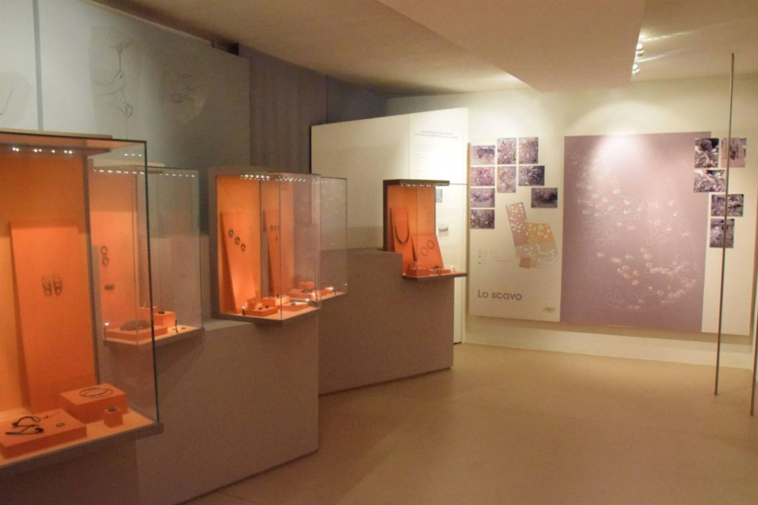
The civic archaeological museum of Lamon, holding finds from the plateau between the Cismon and the Senaiga.
Lago del Corlo
10.9 km away, in Arsiè
A reservoir on the Cismon in the hills of Arsiè, its narrow arms held back by a dam below the Grappa massif.
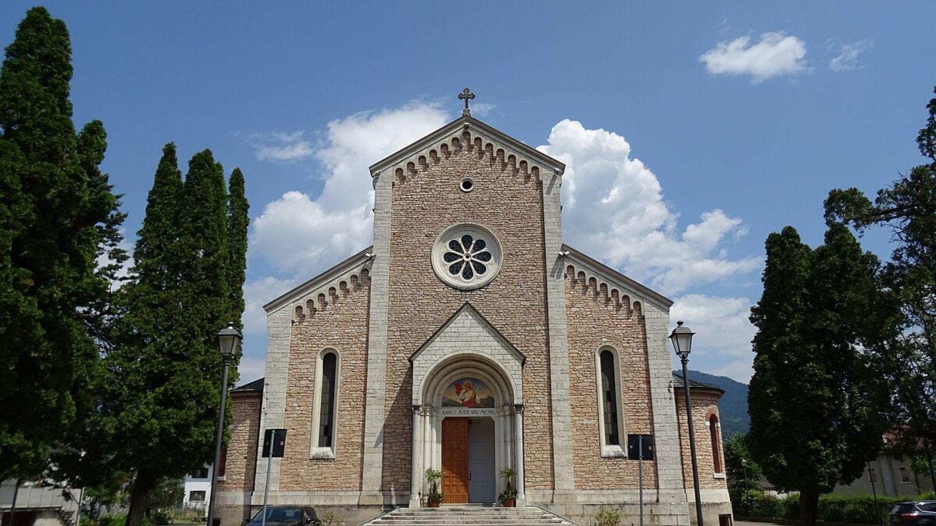
Chiesa del Sacro Cuore di Gesù
12.5 km away, in Lamon
A church at Lamon, on the plateau between the Cismon and the Senaiga in the western Feltrino.
Chiesa di Santa Maria Assunta
13.7 km away, in Sovramonte
A church of Santa Maria Assunta in Sovramonte, on the slopes below the Vette Feltrine in the Dolomiti Bellunesi national park.
Nothing of this kind in Grigno.
Routes
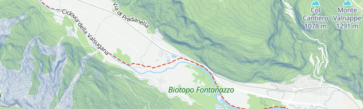
Fiume Brenta NK
A flat riverside stretch along the Brenta at Grigno, on the floor of the lower Valsugana.
- 4.6 km
- Distance
- 20 m
- Ascent
- 1 h 6 min
- Duration
Walk - Eagle Vaia from the Valmaron Refuge
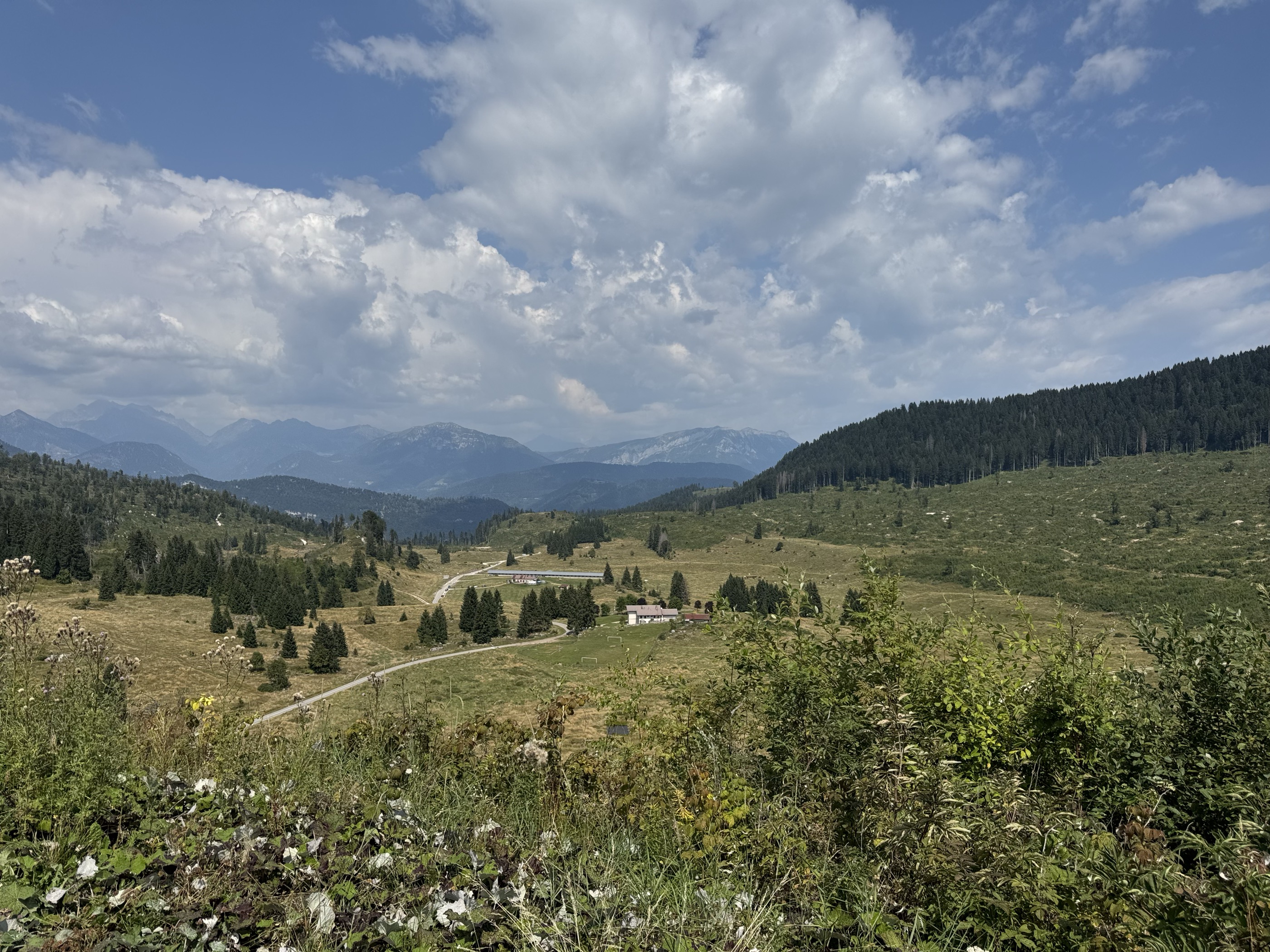
A walk over the Marcesina plateau past the dairy huts of Malga Val Bella and Malga Monte Cucco to the wooden eagle carved after storm Vaia.
- 11.4 km
- Distance
- 231 m
- Ascent
- 3 h 15 min
- Duration
- 36
- Check-ins
 Monte Cucco 1 387 m
 Malga II° Lotto Valmaron - Malga Val Bella 1 381 m
 Passo della Forcellona 1 435 m
- Malga Marcesina di Sopra 1 364 m
- Rifugio Valmaron 1 352 m
- Malga Monte Cucco 1 372 m
Open route APT Valsugana e LagoraiHiking trail - Along the path of Pertega
An old track used since the nineteenth century by the people of Grigno and Tezze, climbing to the Marcesina pastures and their herders' huts.
- 14.3 km
- Distance
- 1 385 m
- Ascent
- 8 h 33 min
- Duration
- 8
- Check-ins
- Rifugio Barricata 1 351 m
- Centro Visitatori Riparo Dalmeri 1 338 m
- Malga Campo Capra di Sotto 1 288 m
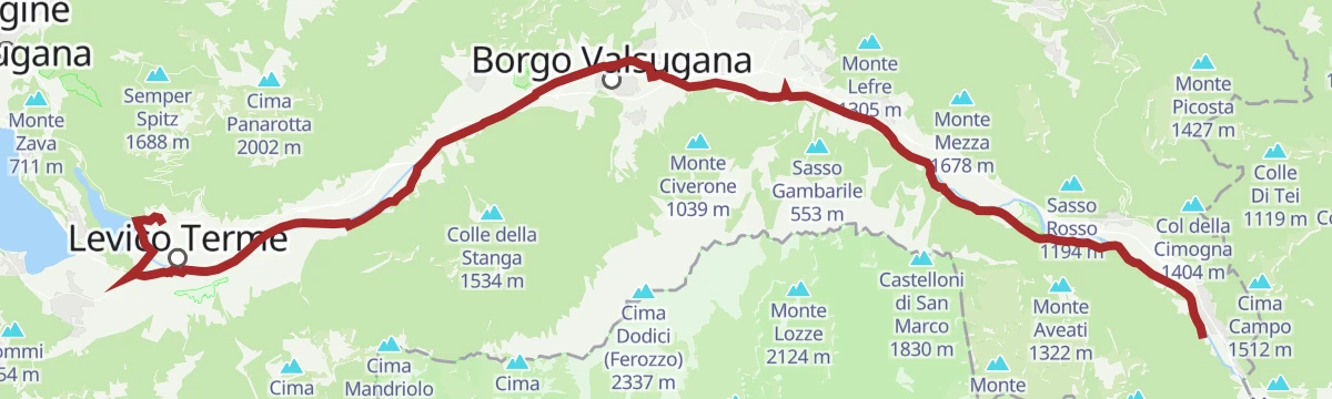
Open route APT Valsugana e LagoraieBike - Brenta route
An almost flat e-bike run down the Brenta cycle path through the Valsugana villages to Tezze, passing the Laghetto Bigonda on the way.
- 39.1 km
- Distance
- 44 m
- Ascent
- 3 h 36 min
- Duration
- 25
- Check-ins
- Parc Hotel Du Lac 454 m
- Visitvalsugana 491 m
- Lagorai Valsugana Orientale 383 m
- APT Valsugana 386 m
- Pro Loco Tezze 230 m
- Bicigrill Energy Bar 435 m
- +3
Open route APT Valsugana e LagoraiLaghetto Giovanetti PS
A few steps of shoreline at the small Giovanetti pond near Grigno in the Valsugana.
- 85 m
- Distance
- 2 m
- Ascent
- 2 min
- Duration
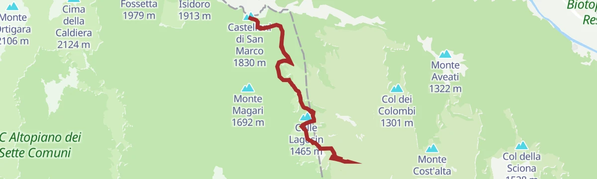
Hiking trail - Castelloni di San Marco Labyrinth
A route to the Castelloni di San Marco, a maze of limestone towers and passages above the Valsugana, drained underground towards the Bigonda cave.
- 13.3 km
- Distance
- 639 m
- Ascent
- 4 h 50 min
- Duration
- 24
- Check-ins
- Castelloni di San Marco 1 830 m
- Monte Aste Alte m. 1745 1 785 m
- Selletta dei Castelloni 1 818 m
- Rifugio Barricata 1 351 m
- Centro Visitatori Riparo Dalmeri 1 338 m
- Malga Campo Capra di Sotto 1 288 m
Open route APT Valsugana e LagoraiThe Valsugana Cycling Path
A valley cycle path from the lake at Caldonazzo down the Brenta to Bassano del Grappa, passing the Grotte di Oliero near the end.
- 82.0 km
- Distance
- 489 m
- Ascent
- 7 h 51 min
- Duration
- 24
- Check-ins
- Al Confin 205 m
- Lagorai Valsugana Orientale 383 m
- APT Valsugana 386 m
- Grotte di Oliero €12 145 m
- Casa Sbara 217 m
- Allevamento suini 272 m
- +2
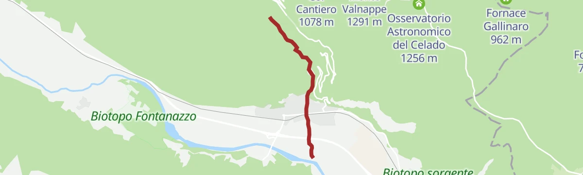
Open route APT Valsugana e LagoraiRio Resenzuola
A short stretch beside the Resenzuola stream at Grigno, where it drops towards the Brenta.
- 443 m
- Distance
- 32 m
- Ascent
- 12 min
- Duration
Open route Trentino FishingHike from Rifugio Barricata to Castelloni di San Marco
From the Barricata hut on the Marcesina plateau across the pastures to the rock maze of the Castelloni di San Marco.
- 10.3 km
- Distance
- 493 m
- Ascent
- 3 h 40 min
- Duration
- 17
- Check-ins
- Castelloni di San Marco 1 830 m
- Monte Aste Alte m. 1745 1 785 m
- Rifugio Barricata 1 351 m
- Centro Visitatori Riparo Dalmeri 1 338 m
Open route APT Valsugana e LagoraiRoadbike - Grigno - Passo Brocon
A road climb out of the Grigno valley over Castello Tesino, finishing on the hairpins that lead up to Passo Brocon at 1,616 m.
- 27.9 km
- Distance
- 1 819 m
- Ascent
- 3 h 43 min
- Duration
- 11
- Check-ins
- Passo Brocon 1 616 m
- Hotel Pizzo degli Uccelli 1 620 m
- Al Tastavin 882 m
- Albergo Passo Brocon 1 617 m
- Chalet Heidi 1 615 m
Open route APT Valsugana e LagoraiTorrente Grigno C
A short walk up the Grigno torrent from the valley floor, into the gorge cut below the karst plateau.
- 2.4 km
- Distance
- 253 m
- Ascent
- 1 h 7 min
- Duration
Open route Trentino FishingFiume Brenta A
A flat route along the Brenta river through the Valsugana at Ospedaletto, on the valley floor between fields and gravel banks.
- 10.6 km
- Distance
- 0 m
- Ascent
- 2 h 31 min
- Duration
- 2
- Check-ins
Open route Trentino FishingCiclovia della Valsugana
The Valsugana cycleway, named Italy's greenest in 2020, running the length of the valley from west to east.
- 69.5 km
- Distance
- 125 m
- Ascent
- 6 h 21 min
- Duration
- 10
- Check-ins
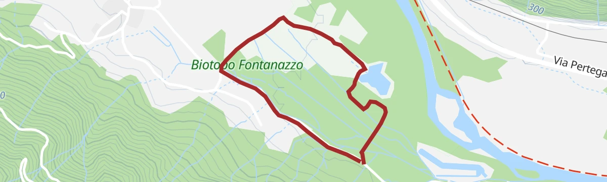
Walk - the provincial nature reserve Fontanazzo
A flat tourist route through the Fontanazzo reserve at Grigno, around valley-floor springs fed by the karst plateau above.
- 1.9 km
- Distance
- 0 m
- Ascent
- 27 min
- Duration
Open route APT Valsugana e LagoraiRoadbike - Grigno - Marcesina Plateau
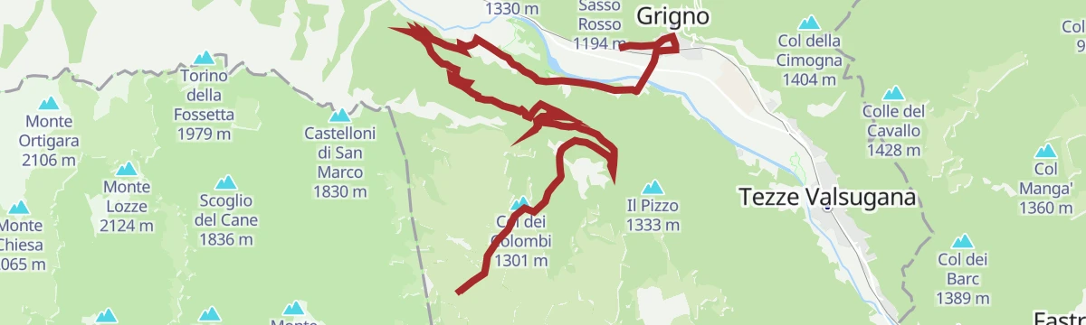
A one-way road climb from the Valsugana up to the high plateau, with 1,660 m of ascent in 19 km and the Rifugio Barricata at the top.
- 19.1 km
- Distance
- 1 720 m
- Ascent
- 3 h 19 min
- Duration
- 8
- Check-ins
- Col dei Colombi 1 301 m
- Rifugio Barricata 1 351 m
- Centro Visitatori Riparo Dalmeri 1 338 m
- Malga Campo Capra di Sotto 1 288 m
Open route APT Valsugana e Lagorai
No routes of this kind in Grigno yet.
The region's own picks

Featured route
Fiume Brenta NK
A flat riverside stretch along the Brenta at Grigno, on the floor of the lower Valsugana.
Planning a trip to Grigno?
Everything else Trentino-Alto Adige/Südtirol has, in one place


Take Grigno with you into the mountains
Every route on this page with 3D terrain, GPX navigation and offline maps — including the valleys with no signal.
Data sources
- Official website: visitvalsugana.it ↗
- Routes and highlights: Dolomitiprealpi, APT Valsugana e Lagorai, Visit Trentino, Trentino Fishing, Tarvisiano
- Published as open data by the tourist boards named above.
- Region summary generated from the board's own material.
