
 Mountain hut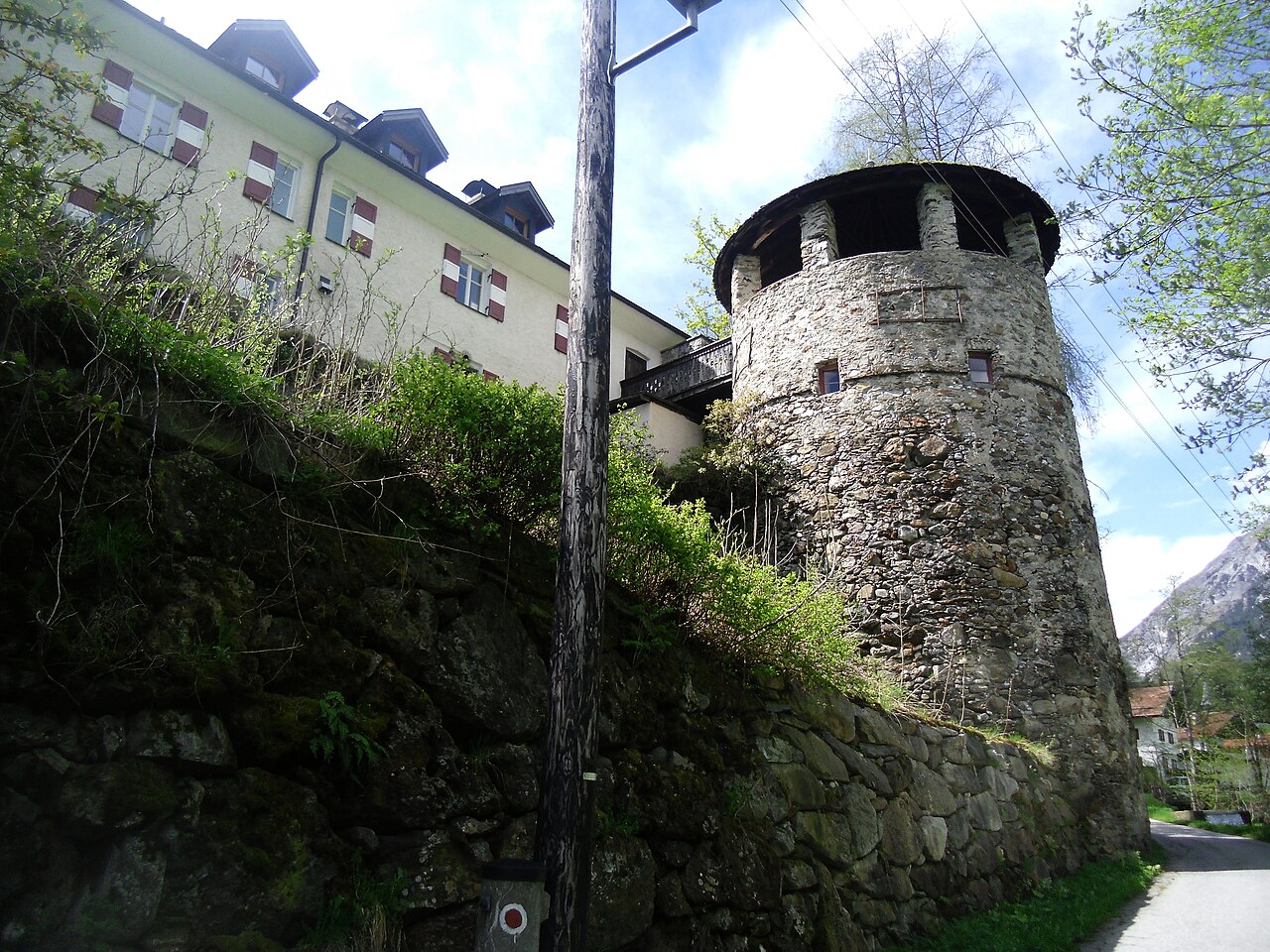
 Historic site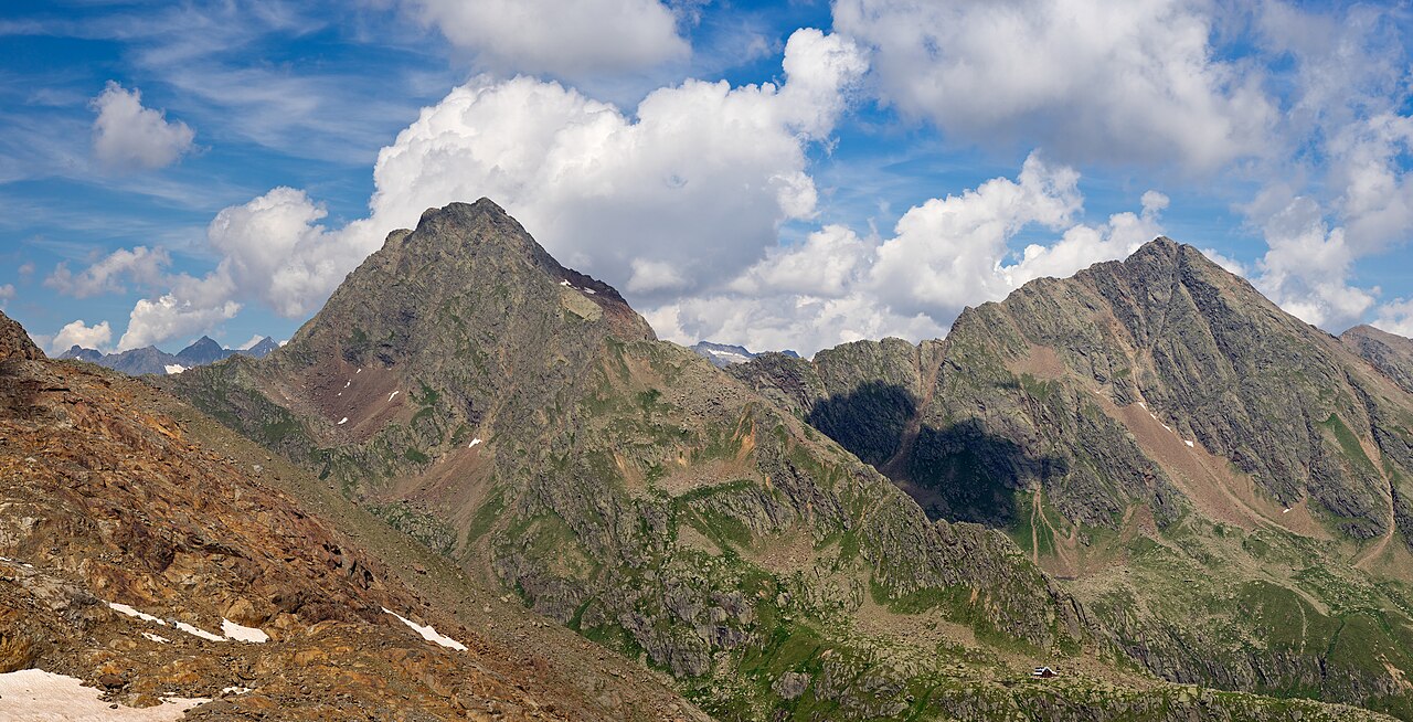














Curated by Wipptal Tourismus
Gries am Brenner
A roadside village at 1165 m on the old Brenner route in the upper Wipptal, below the Nösslachjoch and the Sattelberg on the Italian border.
- 10Highlights
- 28Routes
- Featured summit · Sattelberg - Monte Sella
Highlights
All 10 from neighbouring places
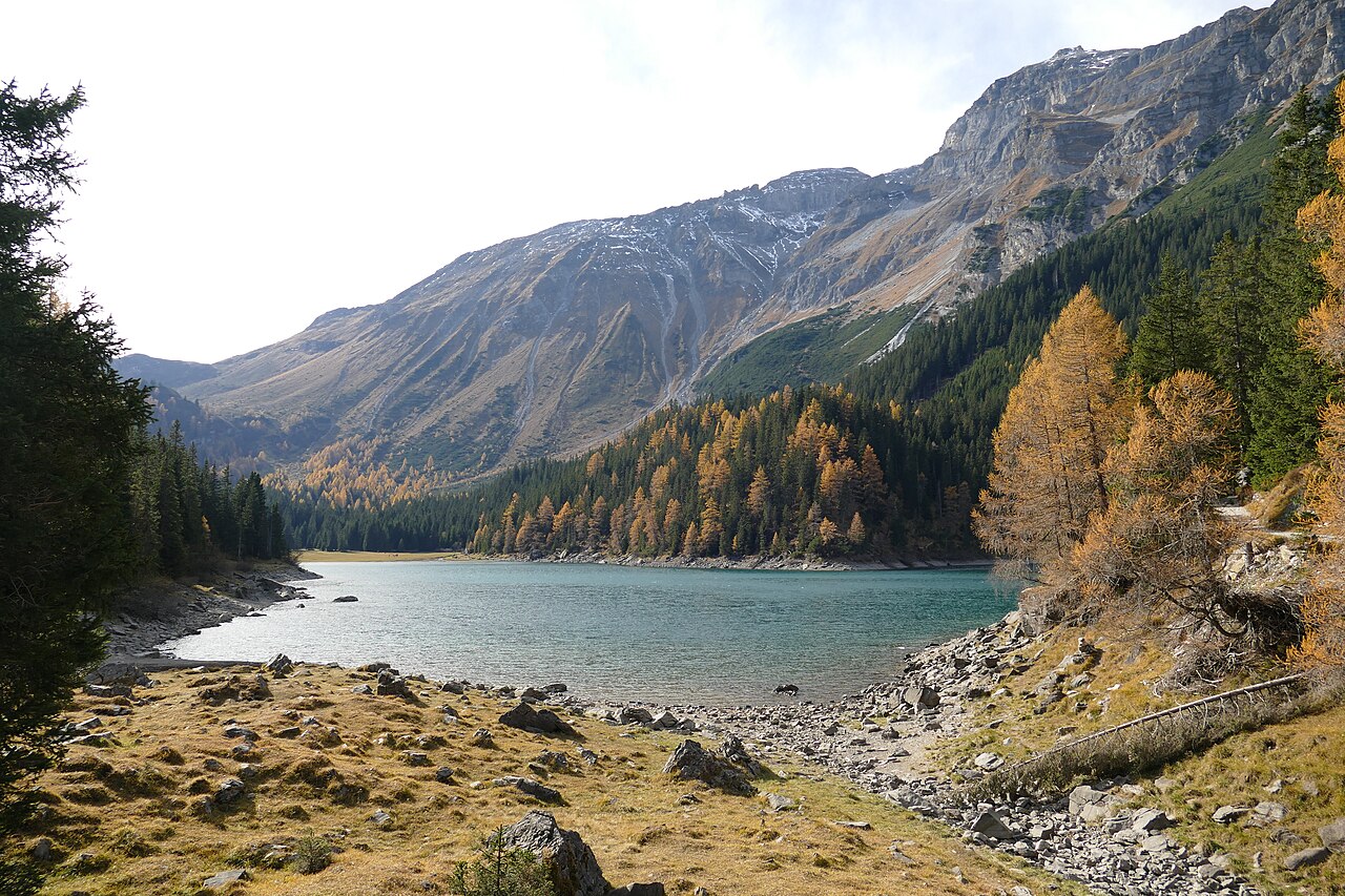
Obernbergersee
6.6 km away, in Obernberg am Brenner
A mountain lake at the head of the Obernberg valley below the Tribulaun peaks, reached by an easy walk from Obernberg am Brenner.
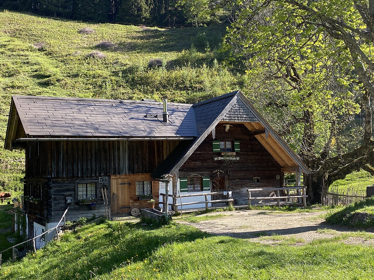
Steiner Alm
7.2 km away, in Obernberg am Brenner
A working pasture hut above Obernberg am Brenner, serving simple farm dishes to walkers heading toward the Obernberger See.
Schloss Schneeberg
8.4 km away, in Trins
A historic castle in the Wipptal, the Tirolean valley running south from Innsbruck towards the Brenner Pass, counted among the area's sights.
 Climbing site https://wellcomeimages.org/indexplus/obf_images/59/75/e90ba921bf07b05b12371a892bad.jpg Gallery: https://wellcomeimages.org/indexplus/image/L0040558.html · CC BY 4.0
Sunblocker
8.6 km away, in Vals
An ice climbing line in the shaded Valser valley of the Wipptal, usually in condition through the cold midwinter weeks.
Bremer Hütte
8.6 km away, in Steinach am Brenner
An Alpine Club hut at 2,413 m at the head of the Gschnitztal, crossed by the Stubai High Trail on its stage to the Nürnberger Hütte.
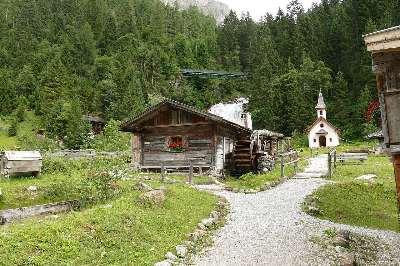
Mühlendorf Gschnitz
11.4 km away, in Gschnitz
An open-air ensemble of restored water mills at Gschnitz in the Gschnitztal, a side valley of the Wipptal, with milling shown in season.
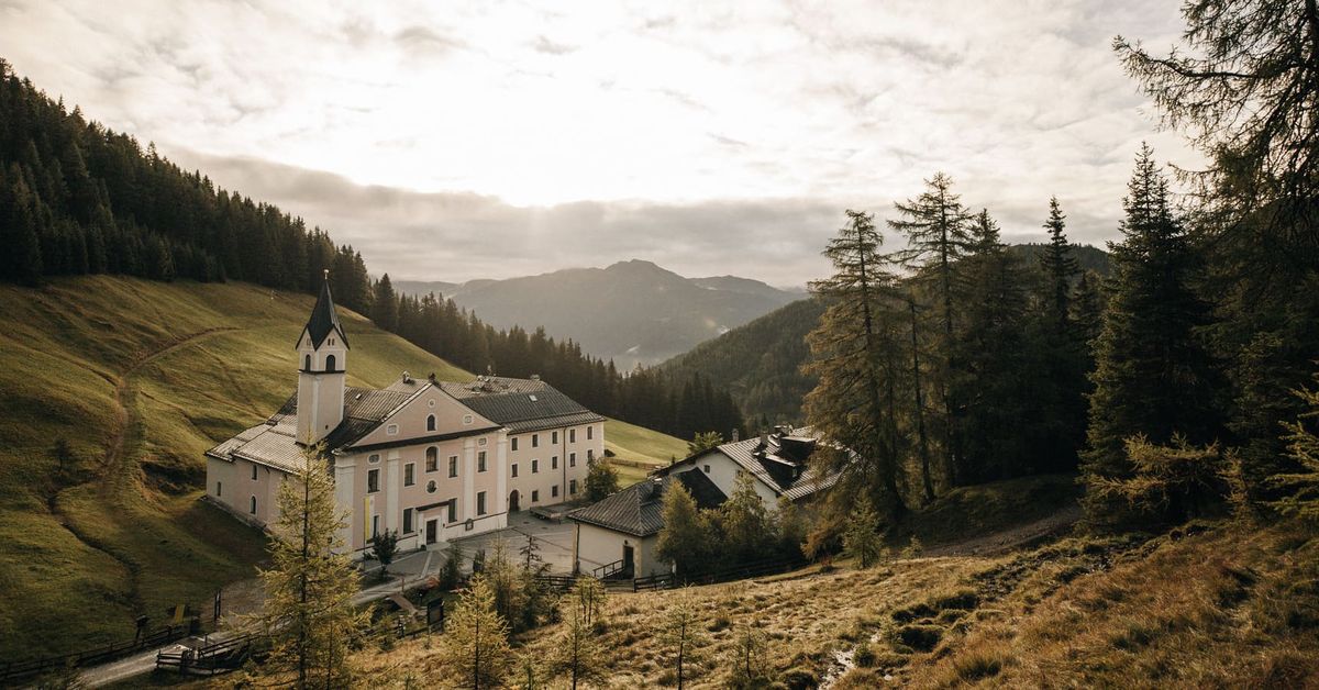
Maria Waldrast 1.640m
13.5 km away, in Mühlbachl
A Servite monastery and pilgrimage church at about 1,640 m below the Serles, with an inn and a spring long credited with healing powers.
Natur Resort Waldrast
13.5 km away, in Mühlbachl
A mountain inn beside the Maria Waldrast monastery below the Serles, reachable on foot or by toll road from Mühlbachl.
Naviser Hütte
14.9 km away, in Navis
A mountain hut in the Navis valley above the village of Navis, a destination for walkers in summer and tobogganers and ski tourers in winter.
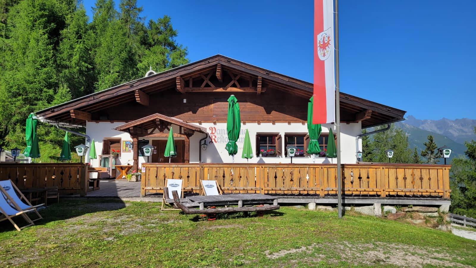
Panoramarestaurant Elfer 1.812m
14.9 km away, in Neustift im Stubaital
A panorama restaurant at 1,812 m by the Elfer lifts' top station above Neustift, with terrace views along the Stubaital.
Nothing of this kind in Gries am Brenner.
Routes
Rundtour Nößlachjoch-Nößlachhütte-Bergeralm
An easy loop at the top of the Bergeralm lifts above Steinach, circling from the panorama restaurant to the Nösslachhütte and the Nösslachjoch over gentle alm terrain.
- 6.9 km
- Distance
- 126 m
- Ascent
- 1 h 56 min
- Duration
- 31
- Check-ins
Kammwanderung zum Lichtsee
A ridge walk from the Bergeralm top station along the crest to the Lichtsee and the Nösslachjoch, with the descent towards Obernberg passing the Eggerjoch.
- 13.0 km
- Distance
- 894 m
- Ascent
- 5 h 58 min
- Duration
- 46
- Check-ins
Rundtour Nößlachjoch (2.231 m), Egger Berg (2.280 m) & s'Kreuzl
Summit loop from the Bergeralm above Steinach crossing two grassy 2,200 m tops, with the Vallmeritzalm on the descent and the panorama restaurant at the start.
- 16.4 km
- Distance
- 1 338 m
- Ascent
- 8 h 35 min
- Duration
- 36
- Check-ins
Sattelberg (2.115 m)
A popular ski tour from Gries am Brenner up the old lift slopes past the Sattelbergalm to a grassy 2,115 m border summit overlooking the Brenner corridor.
- 4.4 km
- Distance
- 883 m
- Ascent
- 883 m
- Descent
- 2 h 51 min
- Duration
- 40
- Check-ins
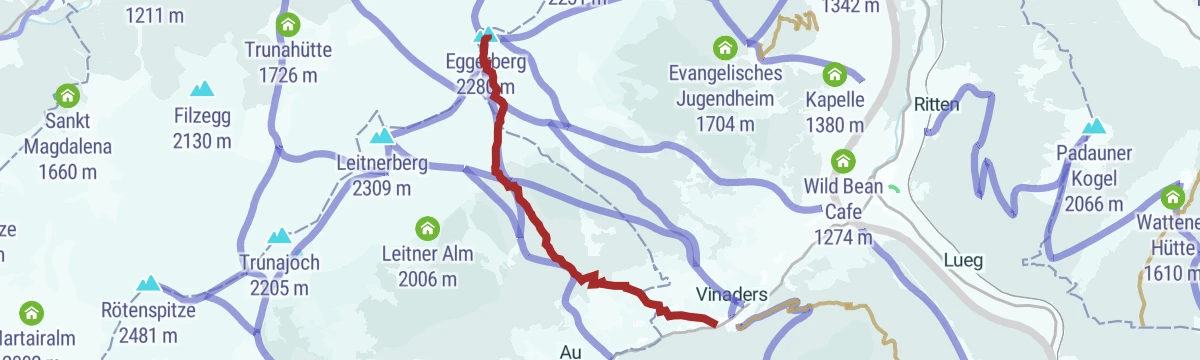
Eggerberg über Vinaders (2.280 m)
Steep ski tour from Vinaders in the Obernbergtal, climbing about 1,000 m through forest clearings and open slopes to the Eggerberg summit.
- 4.8 km
- Distance
- 1 010 m
- Ascent
- 1 010 m
- Descent
- 3 h 13 min
- Duration
- 5
- Check-ins
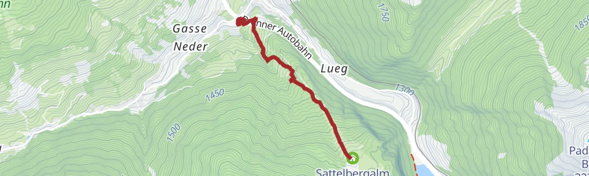
530 Mountainbike Sattelbergalm
A direct forest-road climb from Gries am Brenner to the Sattelbergalm, 500 m of ascent in 4 km past the old chairlift top station.
- 6.7 km
- Distance
- 502 m
- Ascent
- 1 h 15 min
- Duration
- 25
- Check-ins
528 Mountainbike Nösslach Obernberg Rundtour
A big forest-road circuit above Gries am Brenner, linking the Nösslachhütte, the Kastenalm and the Bergeralm restaurant high above the Wipptal.
- 34.5 km
- Distance
- 1 267 m
- Ascent
- 4 h 15 min
- Duration
- 35
- Check-ins
Fernradweg München-Venezia: 2. Abschnitt, die Schatzkiste Tirol
A long-distance stage down the Inn valley to Innsbruck and then up the Wipptal to the Brenner Pass, with rail stops at Pill-Vomperbach and Steinach.
- 82.0 km
- Distance
- 1 563 m
- Ascent
- 8 h 45 min
- Duration
- 33
- Check-ins
Schmugglerpfad Etappe 5
A short, almost level stage of the Schmugglerpfad near the Sattelbergalm, following old smuggling paths along the Brenner border ridge in easy walking.
- 2.6 km
- Distance
- 12 m
- Ascent
- 38 min
- Duration
- 17
- Check-ins
Schmugglerpfad Etappe 4
Stage four of the Schmugglerpfad, climbing from the Sattelbergalm over the Sattel (Passo Sella) into Italy and on to the Steinalm across historic smugglers' terrain.
- 10.4 km
- Distance
- 852 m
- Ascent
- 5 h 28 min
- Duration
- 35
- Check-ins
Rundtour Griesberg-Wolfendorn-Wildseespitz-Landshuter Hütte-Venntall
Marathon-length loop on the Brenner border crest over the Wolfendorn, Friedrichshöhe and Wildseespitze, calling at the Landshuter Europahütte before descending through the Venntal.
- 18.5 km
- Distance
- 1 856 m
- Ascent
- 11 h 25 min
- Duration
- 13
- Check-ins
Nösslachjoch (2.231 m)
A ski tour starting almost at the Nösslach motorway exit, skinning past the Nösslachhütte to a rounded joch summit with a wide view over the Wipptal.
- 4.5 km
- Distance
- 878 m
- Ascent
- 878 m
- Descent
- 2 h 50 min
- Duration
- 23
- Check-ins
Hoher Lorenzen (2.313 m)
Ski tour starting at the church in Obernberg that climbs steadily through forest clearings and open slopes to the summit of the Hoher Lorenzenberg.
- 6.6 km
- Distance
- 939 m
- Ascent
- 939 m
- Descent
- 3 h 16 min
- Duration
- 1
- Check-ins
529 Mountainbike Nösslachhütten Rundtour
A short loop on forest roads to the huts at Nösslach, passing the Forstgartenhütte and a wayside chapel on the way round.
- 9.7 km
- Distance
- 420 m
- Ascent
- 1 h 15 min
- Duration
- 7
- Check-ins
Grenzkamm Rundtour
A high circuit on the border ridge above Gries, crossing the Sattel and the Flachjoch above 2,000 m past the Obere Wechsel Alm.
- 28.9 km
- Distance
- 1 305 m
- Ascent
- 3 h 48 min
- Duration
- 17
- Check-ins
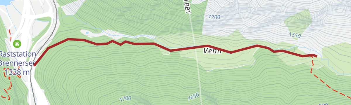
Wanderung ins Venntal
Gentle valley walk from the Brennersee into the Venntal to the Jausenstation Venn — an easy family outing reachable on foot from Brenner station.
- 4.6 km
- Distance
- 167 m
- Ascent
- 1 h 30 min
- Duration
- 1
- Check-ins
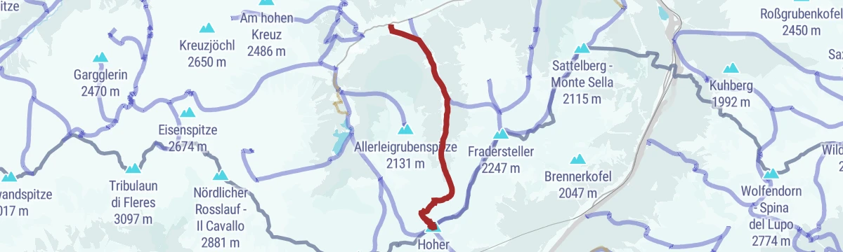
Vom Brenner über den Sattelberg (2.115m) nach Gries
A border-crossing traverse from the Brenner pass over the Sattelberg's grassy dome down to Gries, easily done one-way thanks to train and bus connections.
- 10.1 km
- Distance
- 728 m
- Ascent
- 4 h 48 min
- Duration
- 35
- Check-ins
Vennspitz-Silleskogel
Ridge circuit above Padaun linking the Vennspitze, Roßgrubenkofel and Silleskogel, three grassy summits over the Valsertal.
- 4.3 km
- Distance
- 903 m
- Ascent
- 5 h
- Duration
- 9
- Check-ins
Fradesteller (2.247 m)
Ski tour from the sawmill at the mouth of the Fradertal above Obernberg, climbing steadily through the quiet side valley to a 2,247 m summit in the Wipptal.
- 3.4 km
- Distance
- 846 m
- Ascent
- 846 m
- Descent
- 2 h 37 min
- Duration
- 1
- Check-ins
Leitnerberg (2.309 m)
Compact ski tour from Gasthaus Vinaders at the mouth of the Obernberg valley, climbing over 1,000 m in barely 4.5 km to the Leitnerberg summit.
- 4.2 km
- Distance
- 1 033 m
- Ascent
- 1 033 m
- Descent
- 3 h 13 min
- Duration
5065 & 5060 Mountainbike Flachjoch - Sattelberg
A steep forest-road climb from the Obernberg valley to the Flachjoch at 2,124 m, a pass on the ridge marking the Italian border.
- 8.8 km
- Distance
- 797 m
- Ascent
- 1 h 54 min
- Duration
- 4
- Check-ins
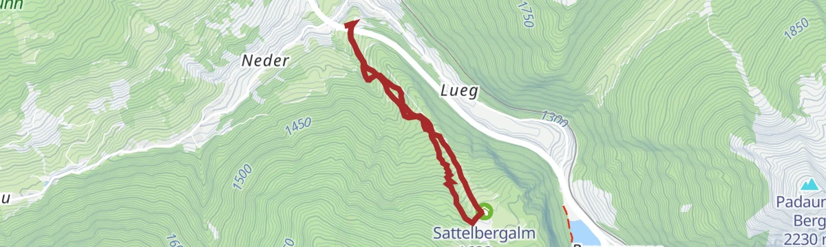
Sattelbergalm über den Wassersteig
From Gries am Brenner up the Wassersteig to the Sattelbergalm, a steady stream-side climb to the alm's sun terrace above the Brenner valley.
- 4.7 km
- Distance
- 407 m
- Ascent
- 2 h 35 min
- Duration
- 25
- Check-ins
Landshuter Hütte-Kraxentrager (2.999)
Relentless climb from the Venntal near the Brenner to the Kraxentrager, almost 3,000 m high on the border ridge, with the Landshuter Europahütte just below the summit slopes.
- 8.4 km
- Distance
- 1 609 m
- Ascent
- 8 h 60 min
- Duration
- 6
- Check-ins
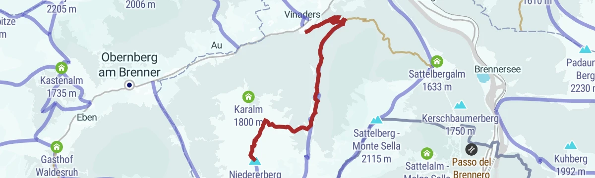
Niedererberg (2.196 m)
Ski tour from Vinaders in the Obernbergtal to the Niedererberg, a moderate 2,196 m goal mixing forest lanes with open upper slopes.
- 5.3 km
- Distance
- 0 m
- Ascent
- 0 m
- Descent
- 1 h 18 min
- Duration
Bergwerksweg Nößlach über Bergeralm
Mining-history trail from the Bergeralm lift above Steinach to the Nösslachhütte, following old workings past the Forstgartenhütte on a moderate high path.
- 9.1 km
- Distance
- 468 m
- Ascent
- 3 h 24 min
- Duration
- 6
- Check-ins
Hoher Lorenzen über Fradertal
Long round from Obernberg through the Fradertal to the Hoher Lorenzenberg, crossing the Flachjoch on the border ridge — a quiet, seldom-walked circuit.
- 15.7 km
- Distance
- 995 m
- Ascent
- 6 h 48 min
- Duration
- 4
- Check-ins
Nößlachhütte - Bergwerksweg
Moderate climb to the Nösslachhütte on the mining-heritage path above the Wipptal, passing the Forstgartenhütte with wide views toward the Brenner.
- 4.0 km
- Distance
- 377 m
- Ascent
- 2 h 21 min
- Duration
- 6
- Check-ins
Wipptaler Wanderweg
Demanding stretch of the Wipptal walking route starting from Ellbögen St. Peter, climbing high over the valley flank with around 1,500 m of ascent.
- 33.2 km
- Distance
- 1 526 m
- Ascent
- 11 h 33 min
- Duration
- 2
- Check-ins
No routes of this kind in Gries am Brenner yet.
The region's own picks

Featured route
Rundtour Nößlachjoch-Nößlachhütte-Bergeralm
An easy loop at the top of the Bergeralm lifts above Steinach, circling from the panorama restaurant to the Nösslachhütte and the Nösslachjoch over gentle alm terrain.
Planning a trip to Gries am Brenner?
Everything else Tyrol has, in one place


Take Gries am Brenner with you into the mountains
Every route on this page with 3D terrain, GPX navigation and offline maps — including the valleys with no signal.
Data sources
- Official website: wipptal.at ↗
- Routes and highlights: Wipptal Tourismus, Tourismusverband Stubai Tirol
- Published as open data by the tourist boards named above.
- Region summary generated from the board's own material.
