
Curated by Lechtal Tourismus
Gramais
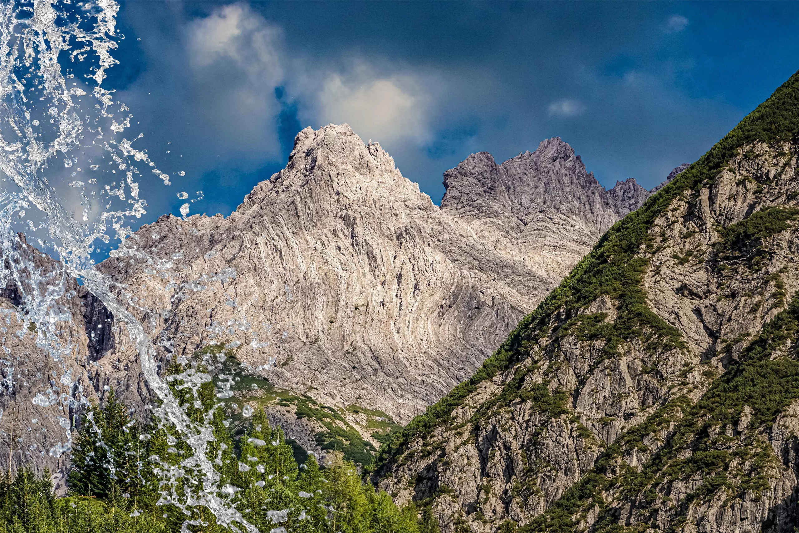
Austria's smallest municipality, some 49 people in a dead-end side valley of the Lechtal at 1320 m, reached by a single narrow mountain road.
Photo: Whgler licence
- 2Highlights
- 13Routes
- Featured summit · Karlesspitze
Highlights
13 from neighbouring places
Kraftplatz "Kälberwiese"
A designated resting place on the Kälberwiese meadows near Gramais, one of the Lechtal's marked quiet spots with benches and valley views.
Heimatmuseum Gramais " HUAMHAUS"
The Huamhaus local museum in Gramais, showing everyday objects from village life in one of Austria's smallest municipalities.
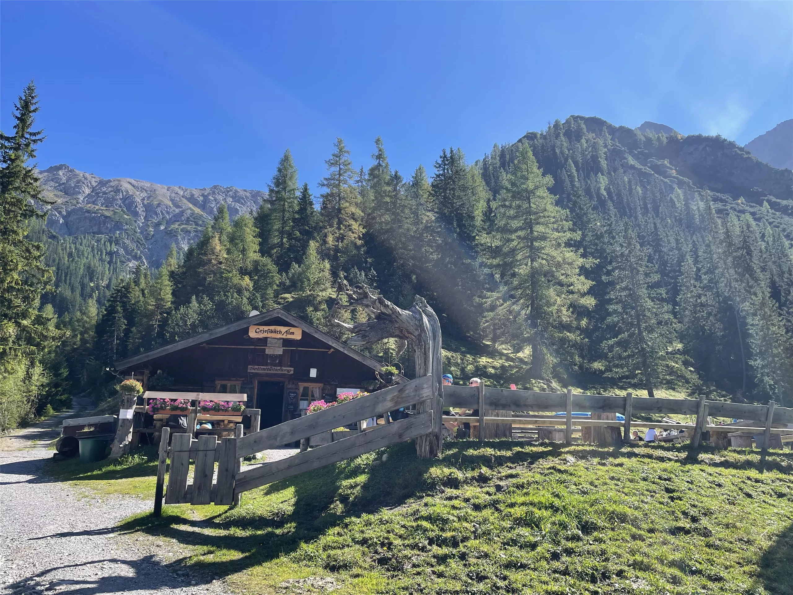
Grießbach Alm 1.496 m
3.7 km away, in Häselgehr
An alpine pasture at 1,496 m above Häselgehr, serving regional dishes to walkers in the Grießbach valley south of the Lech.
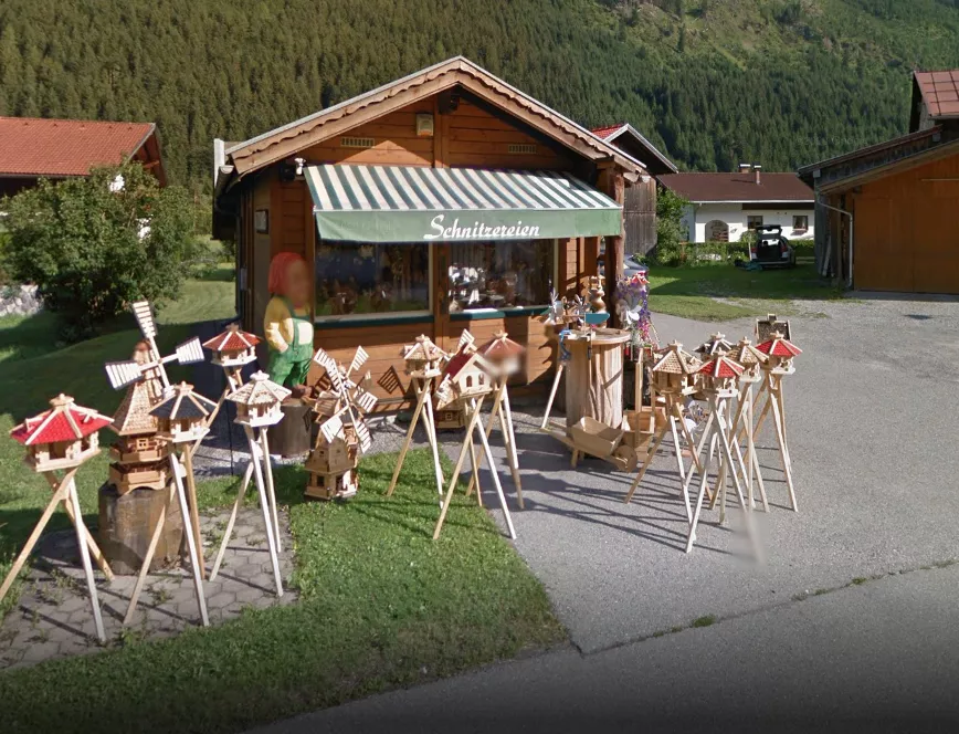
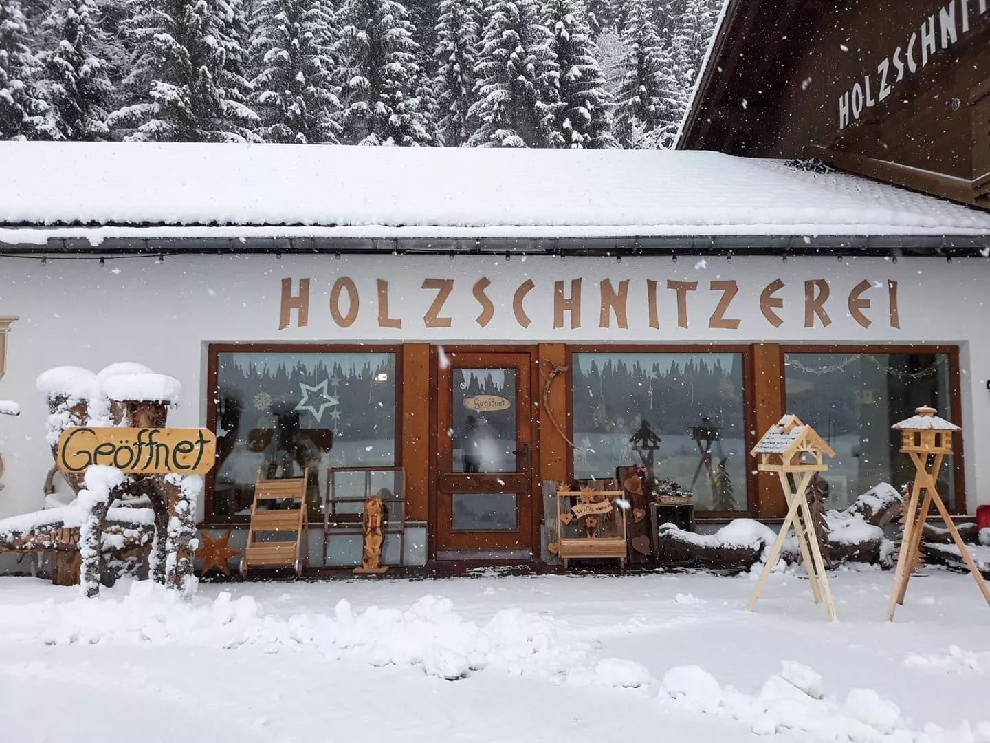
Holzschnitzerei Weißenbach
5.1 km away, in Häselgehr
A wood-carving workshop at Häselgehr open to visitors, showing figures and reliefs made in the Lechtal carving tradition.
Doser Wasserfall
5.3 km away, in Häselgehr
A waterfall near Häselgehr in the Lechtal, fed by the Doser spring and reached on an easy walk from the village at 1,006 m.
Zirba Madle - Holzschnitzereien Melanie Klotz
5.4 km away, in Häselgehr
The carving workshop of Melanie Klotz in Häselgehr, showing hand-carved work in Swiss stone pine with demonstrations and a small exhibition.
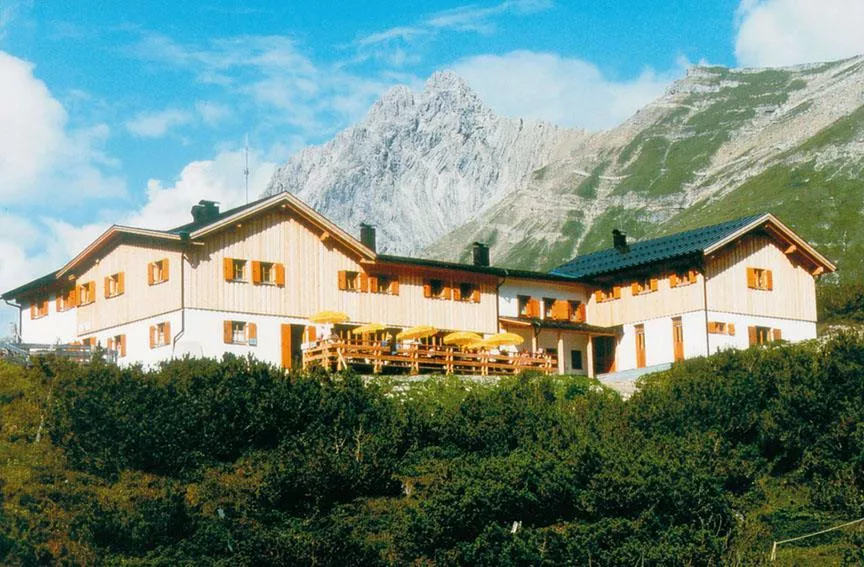
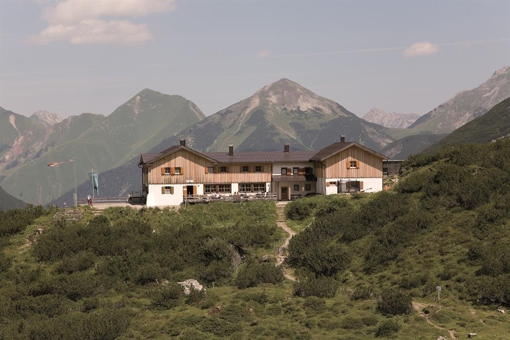
Hanauer Hütte 1.922 m
5.6 km away, in Imst
An alpine club refuge at 1,922 m above the Pfafflar area, a base for the rock summits and lake basins of the eastern Lechtal Alps.
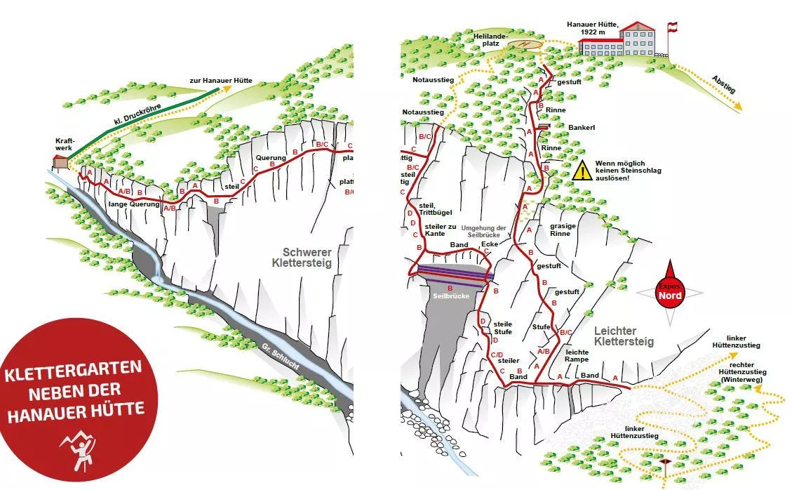
Hanauer Klettersteig 1.770 m
5.6 km away, in Imst
A via ferrata at about 1,770 m near the Hanauer Hütte above Boden in the Bschlabertal, a protected route in the Lechtal Alps.
Klettergarten Hanauer Hütte
5.6 km away, in Imst
A climbing garden beside the Hanauer Hütte in the Lechtal Alps above Pfafflar, with bolted routes a short walk from the hut.
Hanauer Hütte
5.6 km away, in Imst
An alpine club hut in the Lechtal Alps above the Angerletal, a base for walks and climbs among the Dremel and Parzinn peaks.
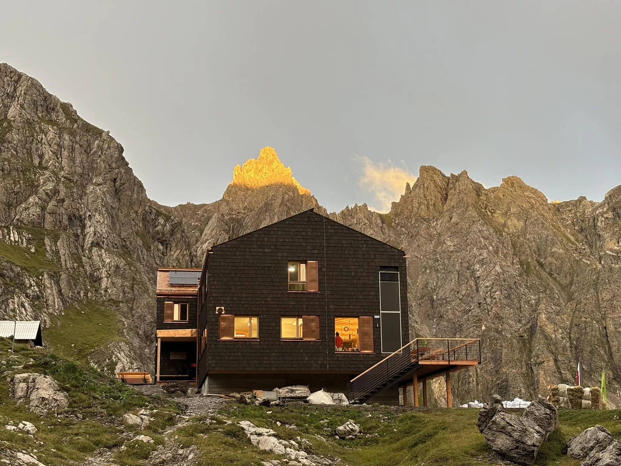
Württemberger Haus 2.220 m
6.2 km away, in Zams
A refuge at 2,220 m in the central Lechtal Alps above Zams, a quiet overnight stop on the high-route crossings of the range.
Steinseehütte 2.061 m
6.7 km away, in Zams
A refuge at 2,061 m near the Steinsee lake in the Lechtal Alps, a base for the surrounding climbing routes, reached from the Zams side.
Steinsee Klettersteig
6.7 km away, in Zams
A via ferrata near the Steinsee and the Steinseehütte in the Lechtal Alps above Zams, a protected route in high lake scenery.
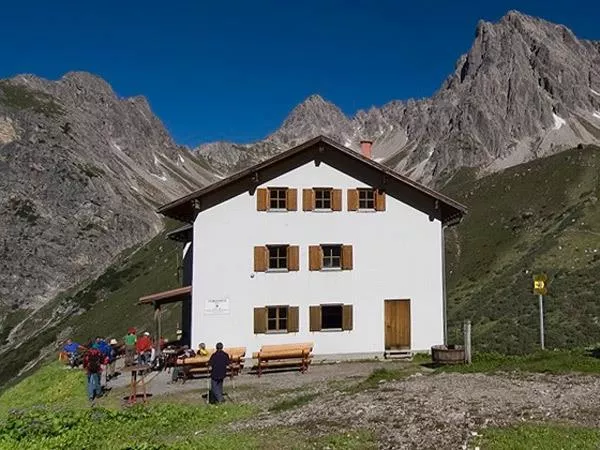
Memminger Hütte 2.242 m
7.8 km away, in Zams
An alpine club refuge at 2,242 m above the Madau valley near Bach, a well-known overnight stop on the E5 crossing of the Lechtal Alps.
Jausenstation Wase 1.320 m
8.1 km away, in Bach
A snack station at 1,320 m above Bach, an easy walking destination on the valley flank with regional dishes and views over the Lechtal.
 Viewpoint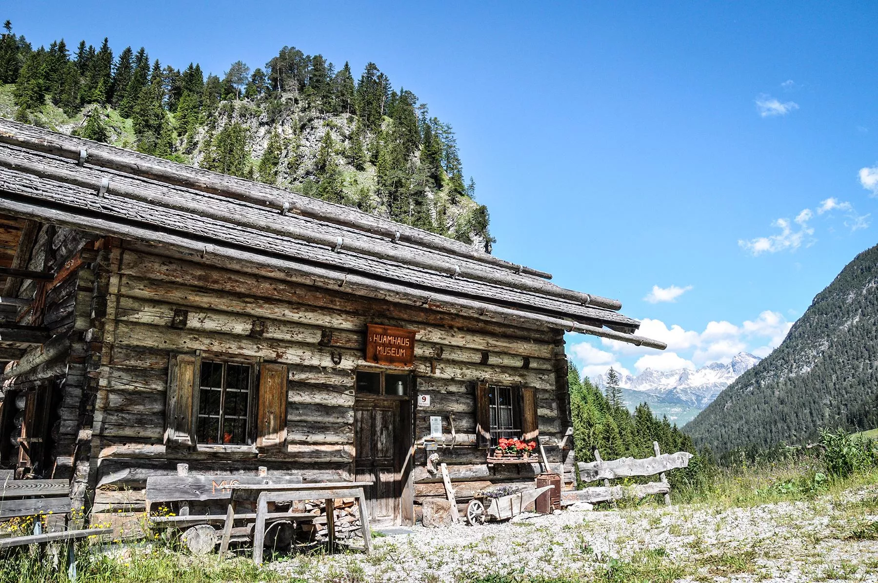
 Historic site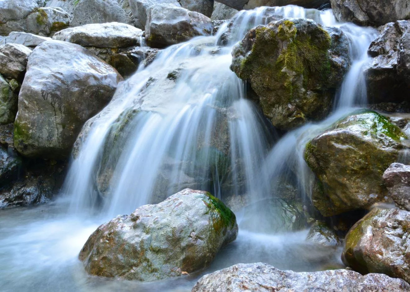
 Via ferrata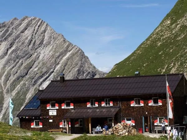
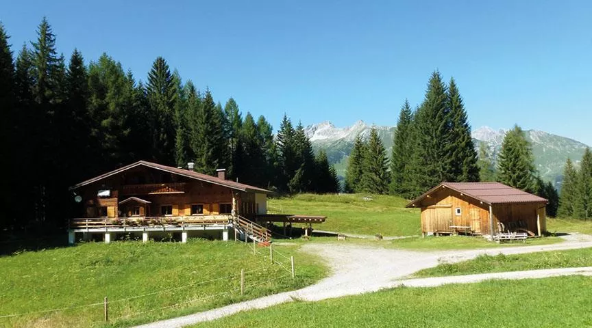
Nothing of this kind in Gramais.
Routes
Gramaiser Runde
Easy loop through Gramais, Austria's smallest municipality, a short round on quiet paths around the mountain village.
- 3.5 km
- Distance
- 82 m
- Ascent
- 1 h 1 min
- Duration
Gramais - Zum Kogelsee
Steep haul from Gramais to the Kogelsee at 2,171 m below the Bockkarspitzen, with the smaller Gufelsee and Parzinnsee lying nearby.
- 3.2 km
- Distance
- 837 m
- Ascent
- 2 h 59 min
- Duration
Boden-Hanauer Hütte-Kogelseescharte-Gramais
A big day linking Boden and Gramais: up to the Hanauer Hütte, over the Kogelsee Scharte past the Unterer Parzinnsee, and down into the far valley.
- 11.3 km
- Distance
- 1 138 m
- Ascent
- 7 h 2 min
- Duration
- 21
- Check-ins
 Hanauer Hütte 1 922 m
 Kogelsee Scharte 2 497 m
- Südliche Bockkarscharte 2 432 m
 Unterer Parzinnsee 2 162 m
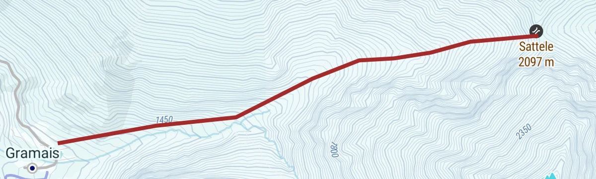
Skitour auf das Sattele
Short climb from Gramais onto sheltered west slopes that are rarely tracked; large terrain feeds in from the left, so the modest 770 m deserves respect.
- 2.5 km
- Distance
- 746 m
- Ascent
- 0 m
- Descent
- 1 h 54 min
- Duration
Skitour auf das Schafkar
The best-known ski tour out of Gramais; the high point reached is not the Große Schafkar-Spitze itself but the Sattele spur on its ridge.
- 4.8 km
- Distance
- 1 030 m
- Ascent
- 17 m
- Descent
- 2 h 48 min
- Duration
Ins Auszeitdorf Gramais
A short climb from the Lech valley up the side valley road to the hamlet of Gramais, 372 m of ascent in under 8 km.
- 7.8 km
- Distance
- 372 m
- Ascent
- 56 min
- Duration
Gravelbike Tour 2.2 - Auszeit Tour
A gravel tour on the tracks and side roads of the upper Lech valley around Häselgehr, with modest climbing and a riverside campsite en route.
- 24.3 km
- Distance
- 513 m
- Ascent
- 2 h 38 min
- Duration
- 2
- Check-ins
Häselgehr-Gramais
A long day linking the Lech valley with the Tannheimer Tal, past the Haldensee and over the Vils-Lech watershed at 1,146 m.
- 87.1 km
- Distance
- 1 626 m
- Ascent
- 9 h 16 min
- Duration
- 62
- Check-ins
Lechi Weg
Family loop at Gramais through forest and flower meadows, an easy themed round around the secluded mountain village.
- 5.2 km
- Distance
- 205 m
- Ascent
- 1 h 44 min
- Duration
Gramais - Württemberger Haus
Rugged climb from Gramais past the Bittrichsee and over the Bitterscharte to the Württemberger Haus at 2,220 m, the oldest hut of the DAV Stuttgart section.
- 10.0 km
- Distance
- 1 276 m
- Ascent
- 5 h 51 min
- Duration
- 8
- Check-ins
- Württemberger Haus 2 220 m
- Bittrichsee 2 229 m
- Bitterscharte 2 535 m
- Giflhuette 2 094 m
Gravelbike Tour 2.2 - Auszeit Tour
A ride on the valley roads and gravel of the Lechtal near Häselgehr, rolling rather than flat, with the Lech alongside for much of the way.
- 24.3 km
- Distance
- 873 m
- Ascent
- 2 h 59 min
- Duration
- 2
- Check-ins
Häselgehr-Wannenspitze-Grießbachalm
Committing ridge round from Häselgehr over the Karlesspitze, both Zwickspitzen and the Wannenspitze, descending via the Wieslejoch to the Grießbachalm.
- 17.7 km
- Distance
- 1 476 m
- Ascent
- 9 h 26 min
- Duration
- 3
- Check-ins
Gramaiser Seen Runde
Lonely lake circuit from Gramais over the Hirschleskopf, passing the Roßkarsee and Schafkarsee in a remote corner of the Lechtaler Alpen.
- 13.5 km
- Distance
- 1 250 m
- Ascent
- 7 h 48 min
- Duration
 Hirschleskopf 2 057 m
- Roßkarsee 2 119 m
- Schafkarsee 2 115 m




No routes of this kind in Gramais yet.
The region's own picks

Featured route
Gramaiser Runde
Easy loop through Gramais, Austria's smallest municipality, a short round on quiet paths around the mountain village.
Planning a trip to Gramais?
Everything else Tyrol has, in one place


Take Gramais with you into the mountains
Every route on this page with 3D terrain, GPX navigation and offline maps — including the valleys with no signal.
Data sources
- Official website: lechtal.at ↗
- Routes and highlights: Lechtal Tourismus, Imst Tourismus, Tannheimer Tal, Naturparkregion Reutte
- Published as open data by the tourist boards named above.
- Region summary generated from the board's own material.
