
Curated by Filzmoos Tourismus
Gosau
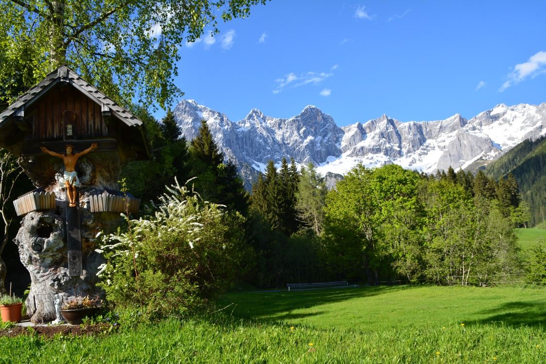
The Gosautal at about 740 m, a long side valley above the Hallstätter See, closed at its head by the Gosau lakes and the north walls of the Dachstein.
Photo: Goisern licence
- 15Highlights
- 5Routes
- Featured summit · Törleck
Highlights
All 15 from neighbouring places
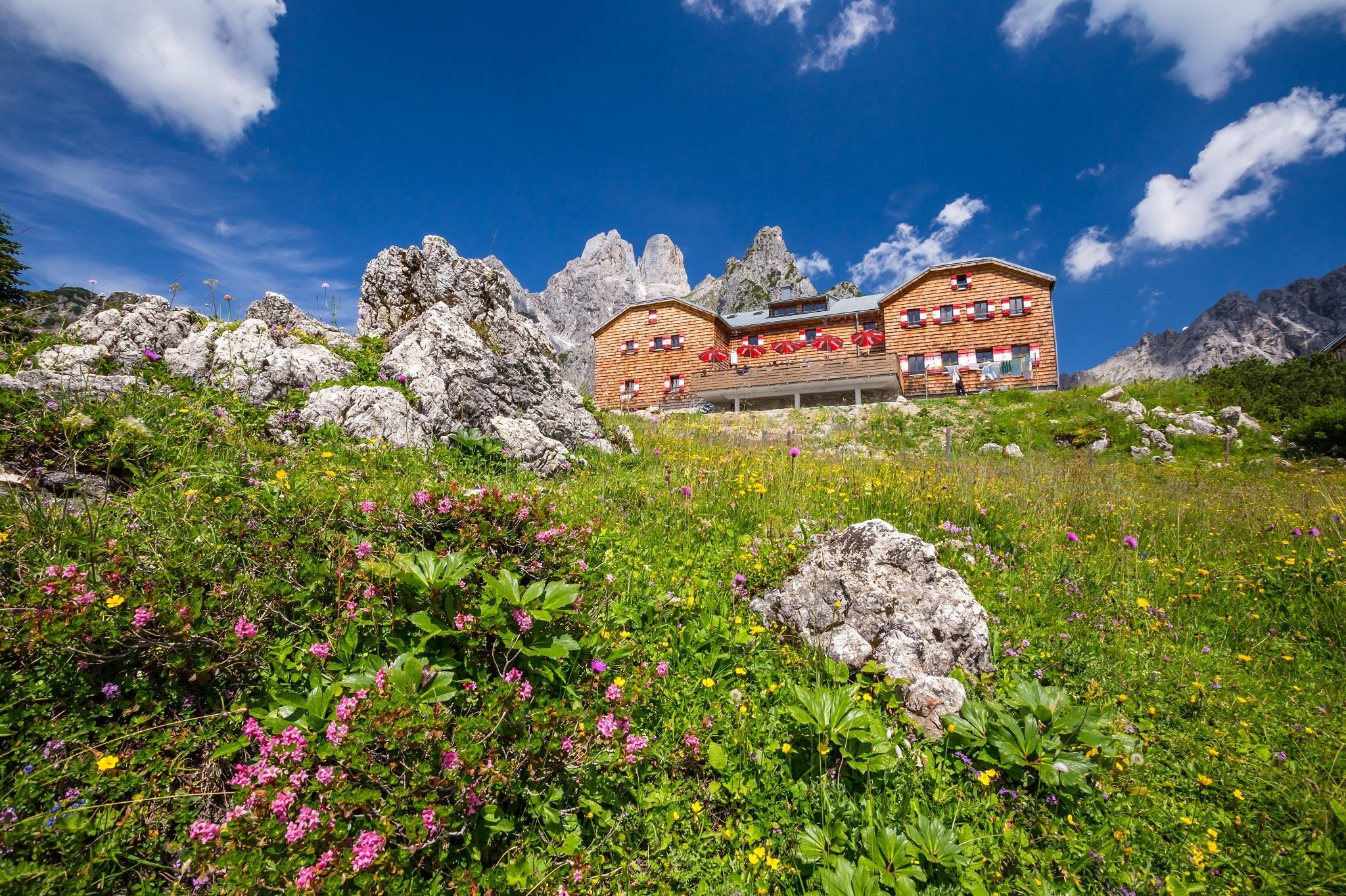
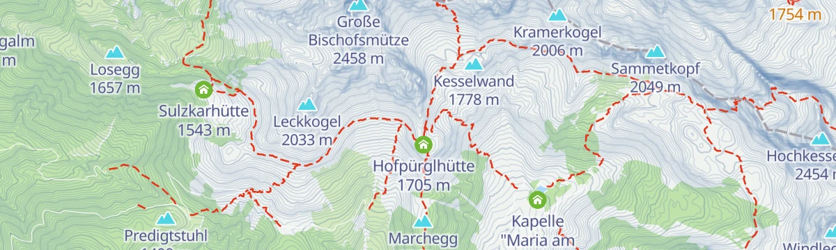
Hofpürglhütte
8 km away, in Filzmoos
An Alpenverein hut at 1,705 m below the Bischofsmütze on the Gosaukamm, a base for climbers and for hut-to-hut walks above Filzmoos.
Unterhofalm 1.280 m
8.3 km away, in Filzmoos
The lower of the two Hofalm pasture inns at 1,280 m above Filzmoos, set on open meadows facing the Bischofsmütze.
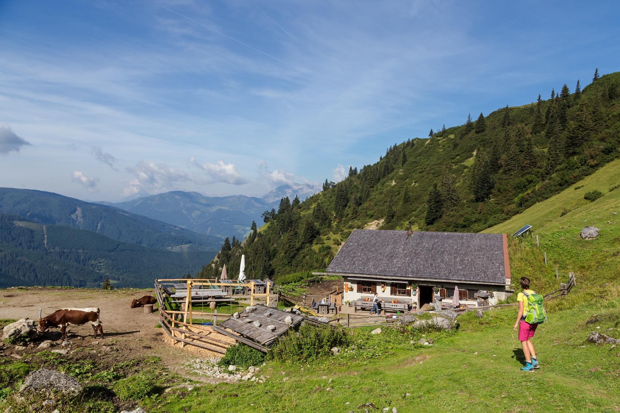
Sulzkaralm - Almsommerhütte des Jahres 2015
8.3 km away, in Annaberg-Lungötz
A pasture hut above Filzmoos named Salzburg's Almsommer hut of the year in 2015, serving regional farm dishes to walkers.
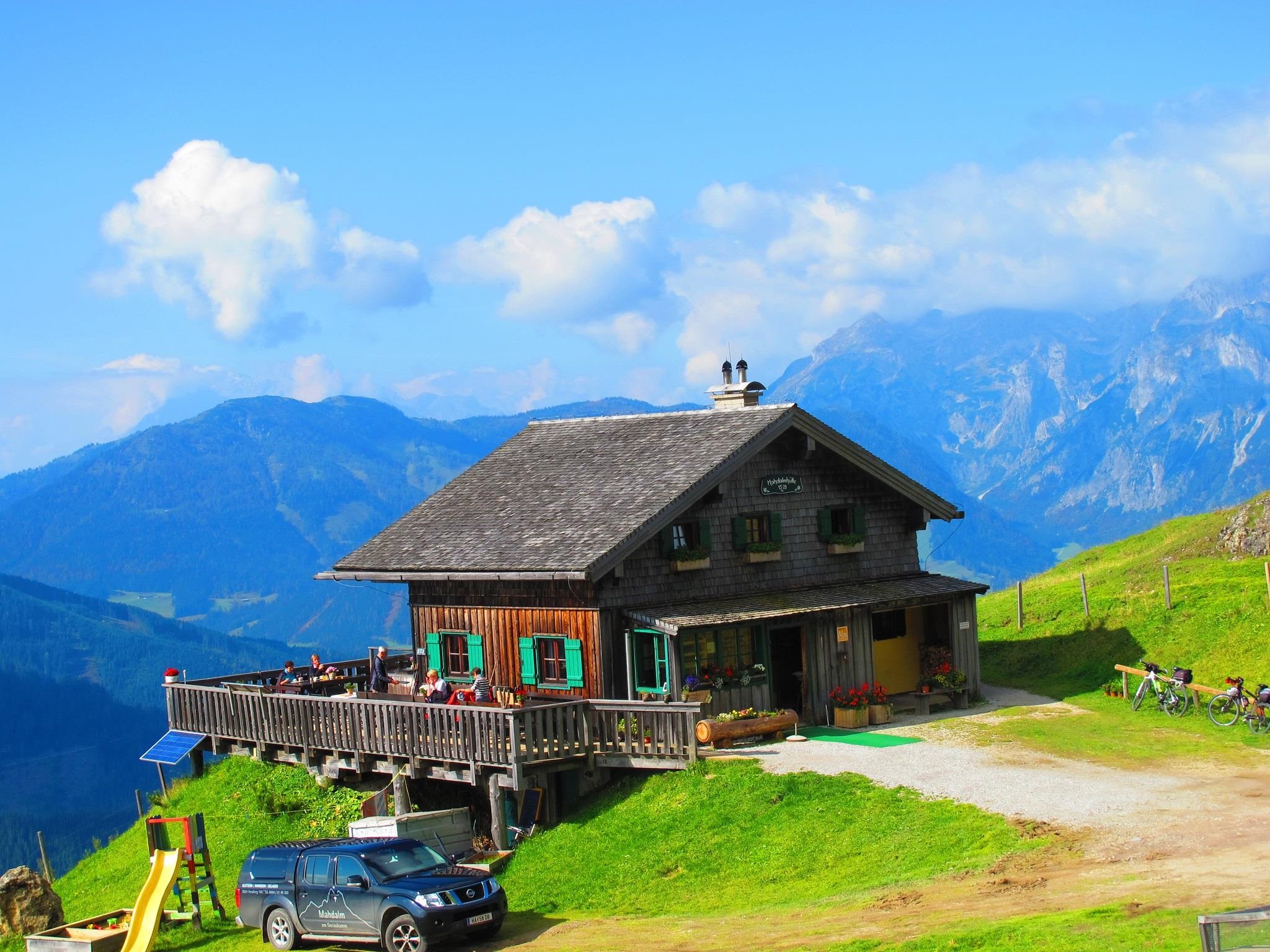
Mahdalm
8.3 km away, in Annaberg-Lungötz
A pasture hut in the walking country above Filzmoos, serving regional dishes below the rock peaks of the Gosaukamm.
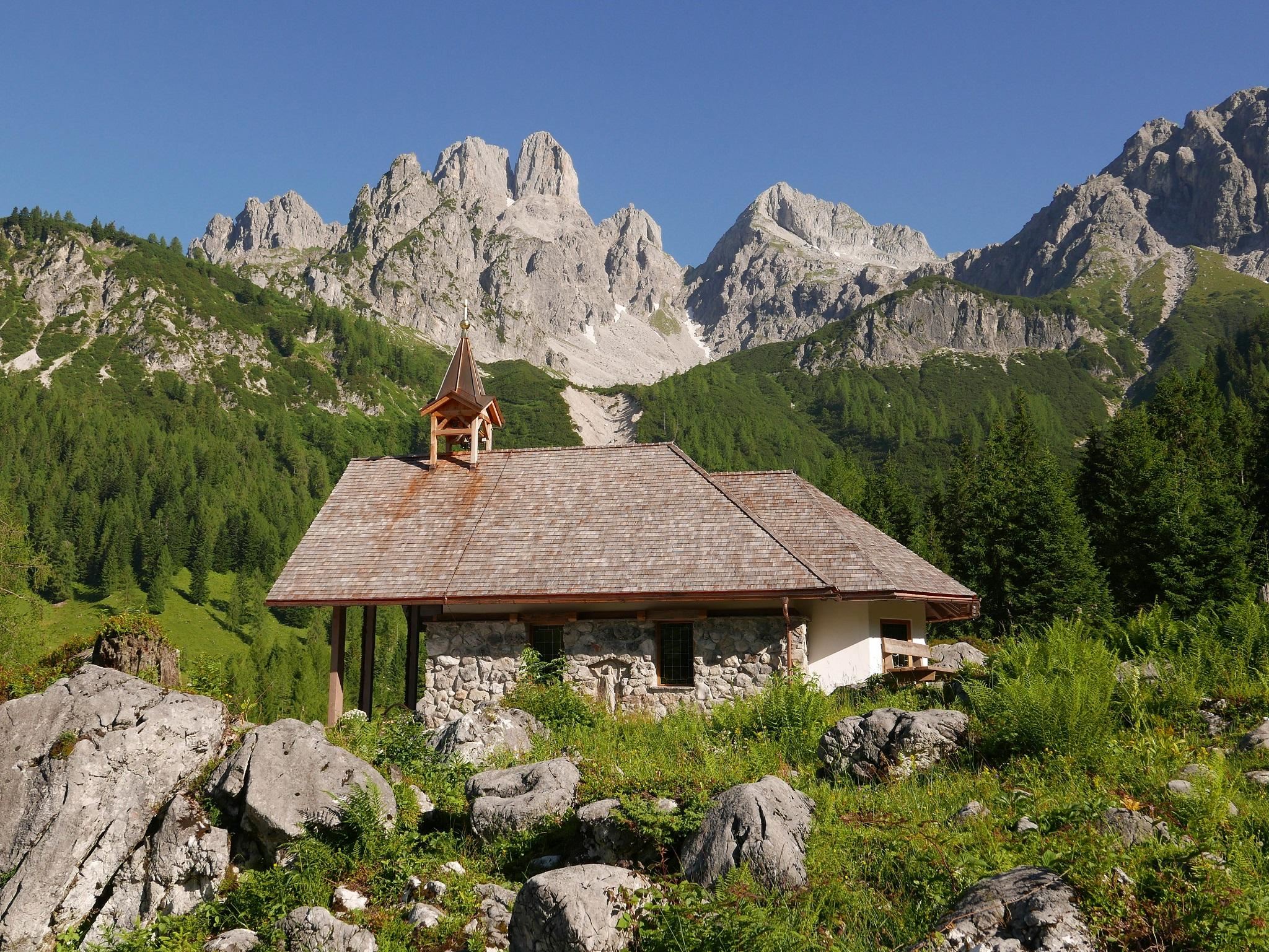
Kapelle Maria zum Steineggl
8.4 km away, in Filzmoos
A small Marian chapel on the Hofalm meadows above Filzmoos, a wayside devotional stop below the Bischofsmütze.
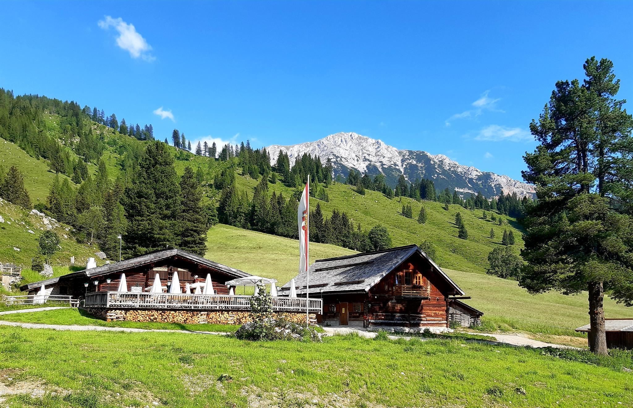
Oberhofalm 1.268 m
8.4 km away, in Filzmoos
A pasture inn at 1,268 m on the Hofalm meadows above Filzmoos, set directly below the rock towers of the Bischofsmütze.
Loseggalm-Langfeldhütte
8.9 km away, in Annaberg-Lungötz
An alpine pasture hut with regional cooking in the mountains north of Filzmoos, open to walkers during the summer grazing season.
Wallehenhütte - Sulzenalm
9.3 km away, in Filzmoos
A hut on the Sulzenalm above Filzmoos, a refreshment stop for walkers on the pasture terraces below the Gosaukamm.
Krahlehenhütte - Sulzenalm
9.4 km away, in Filzmoos
A hut on the Sulzenalm pastures above Filzmoos, a certified farm kitchen serving regional produce below the Gosaukamm.
Arzbergalm 1.345 m
9.4 km away, in Filzmoos
A pasture hut at 1,345 m on the Arzberg above Filzmoos, serving regional dishes during the alpine summer.
Bachlalm 1.484 m
11.1 km away, in Filzmoos
A mountain restaurant at 1,484 m above Filzmoos, a base for walks under the Bischofsmütze at the western end of the Dachstein group.
Rettensteinhütte
11.8 km away, in Filzmoos
A hut on the Rettenstein above Filzmoos, a snack station for walkers on the paths around the 1,052 m village.
Schwaigalm 1.358 m
12.6 km away, in Filzmoos
A pasture hut at 1,358 m above Filzmoos, run as a ski hut in winter and serving regional dishes to summer walkers.
Gsenghofalm
12.7 km away, in Filzmoos
An alpine pasture hut with regional cooking in the mountains west of Filzmoos, reached on the village's walking network.
Schäferhütte
13.3 km away, in Annaberg-Lungötz
A shepherd's hut in the mountains west of Filzmoos, serving simple alpine fare to walkers in summer.
 Mountain hut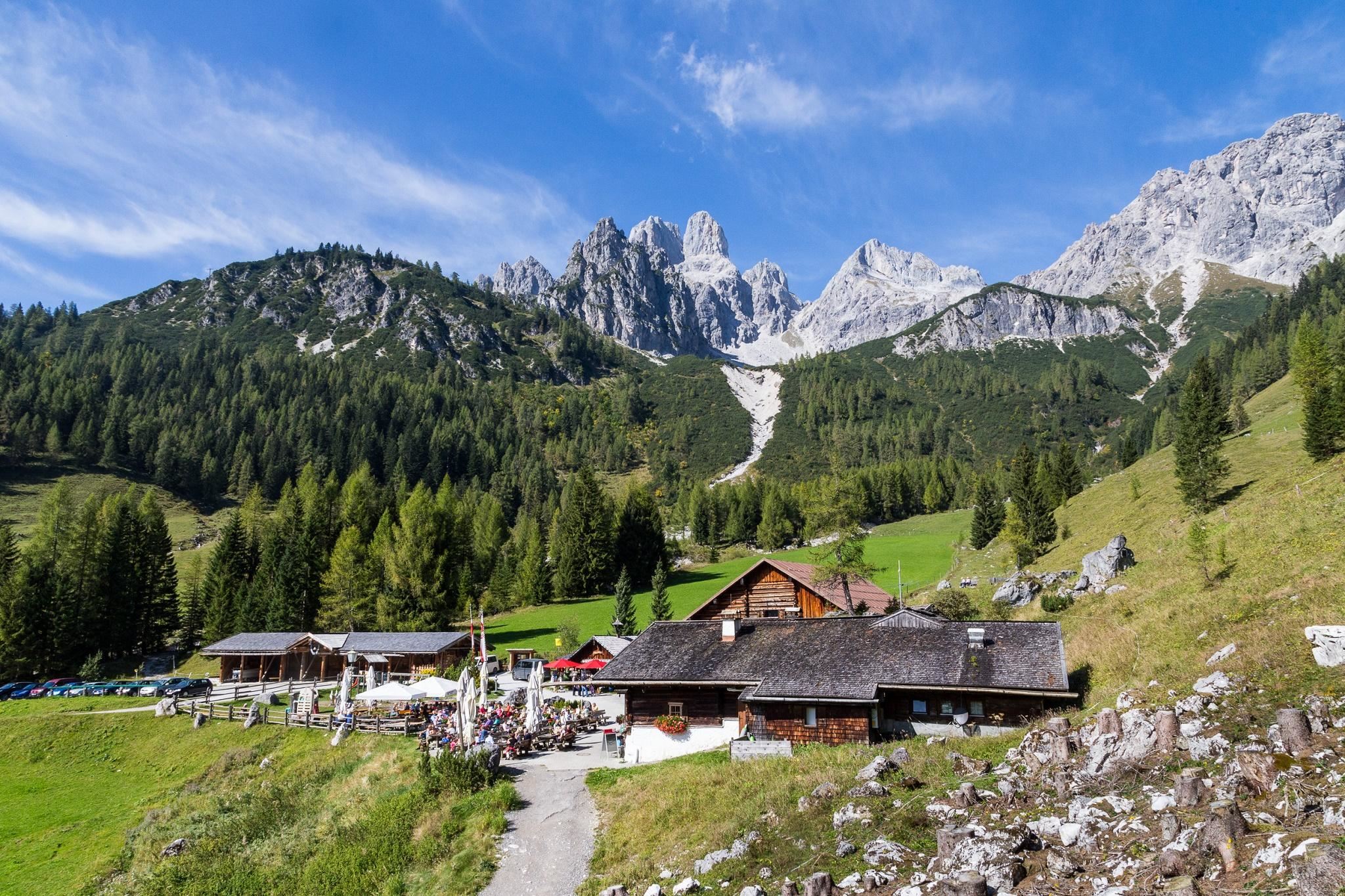
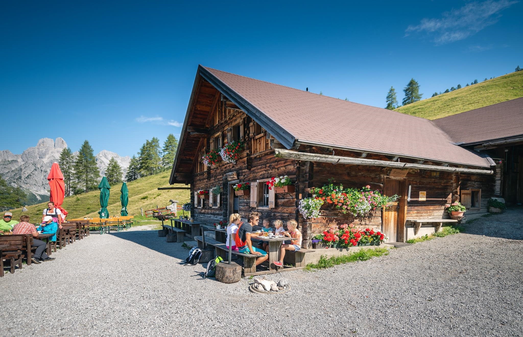
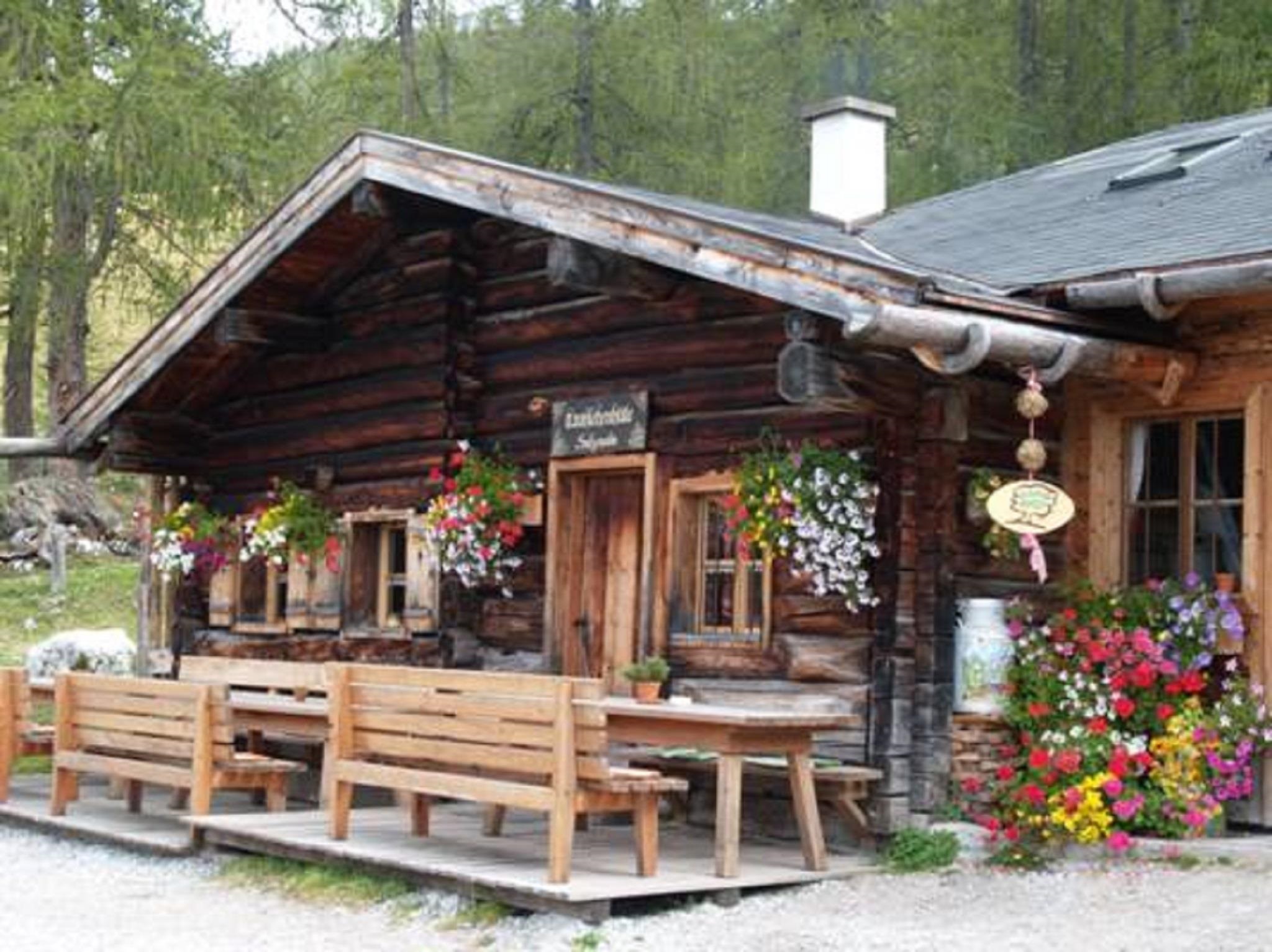
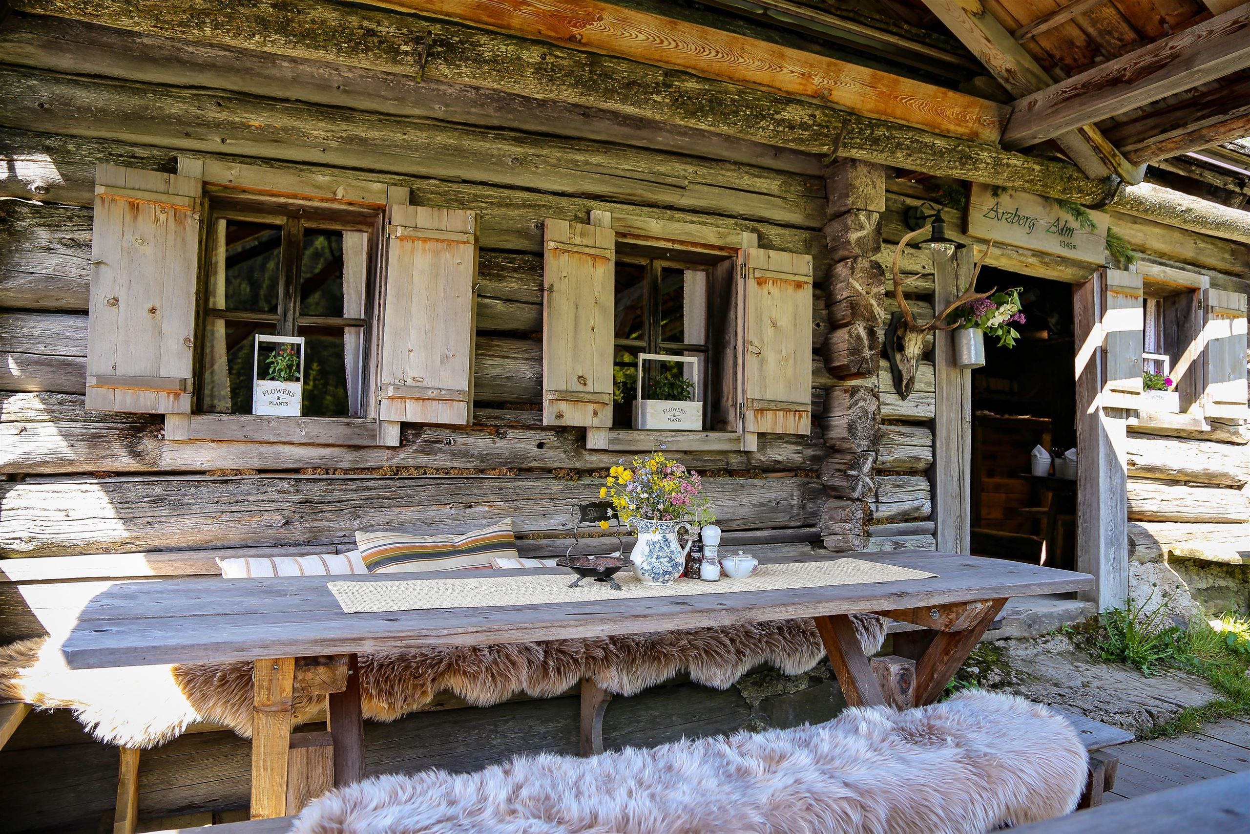
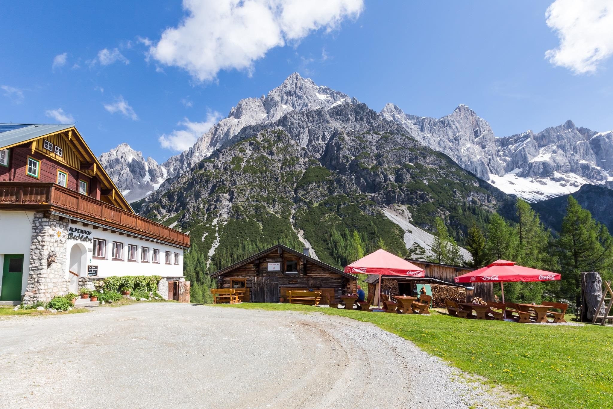
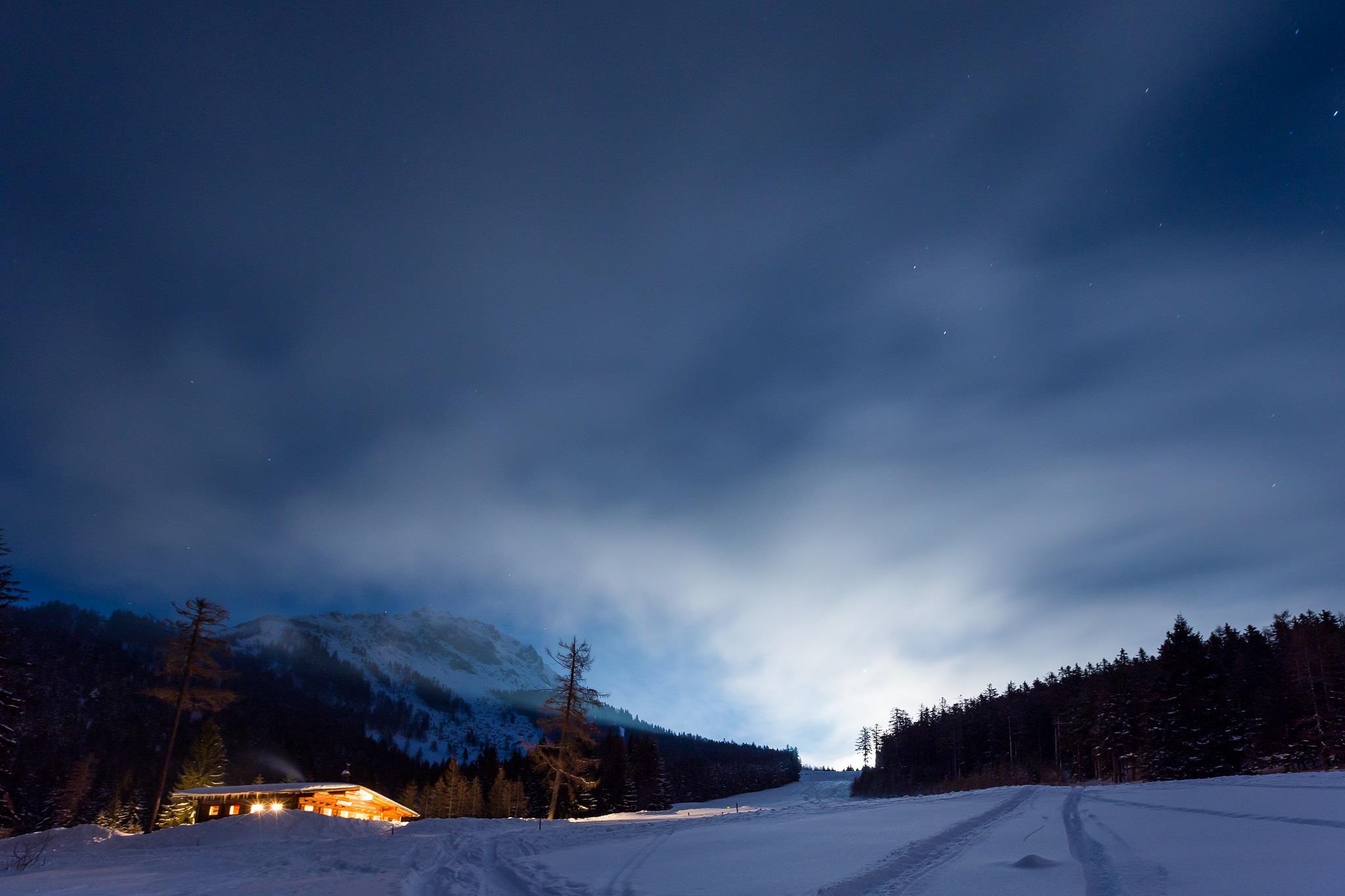
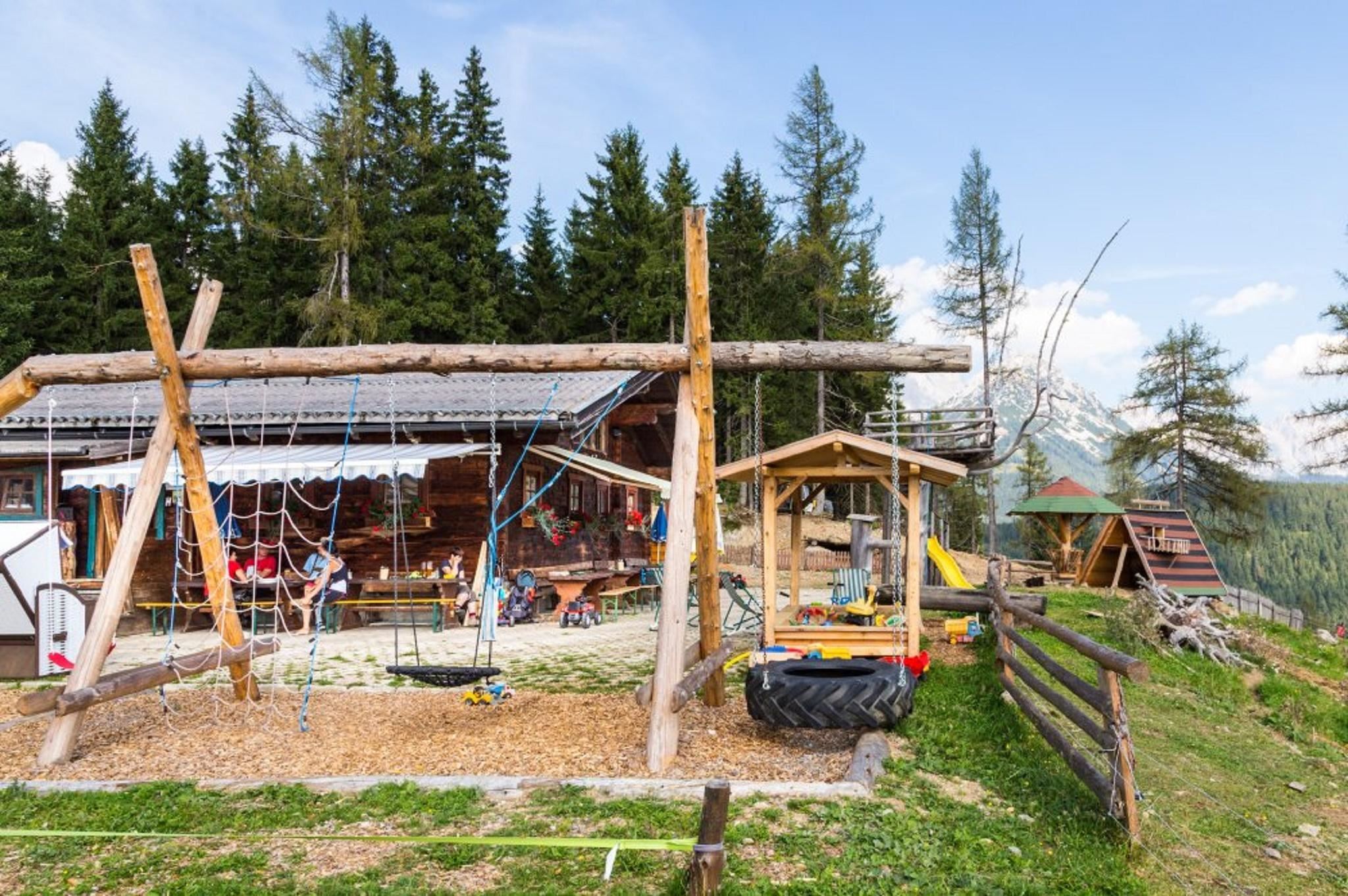
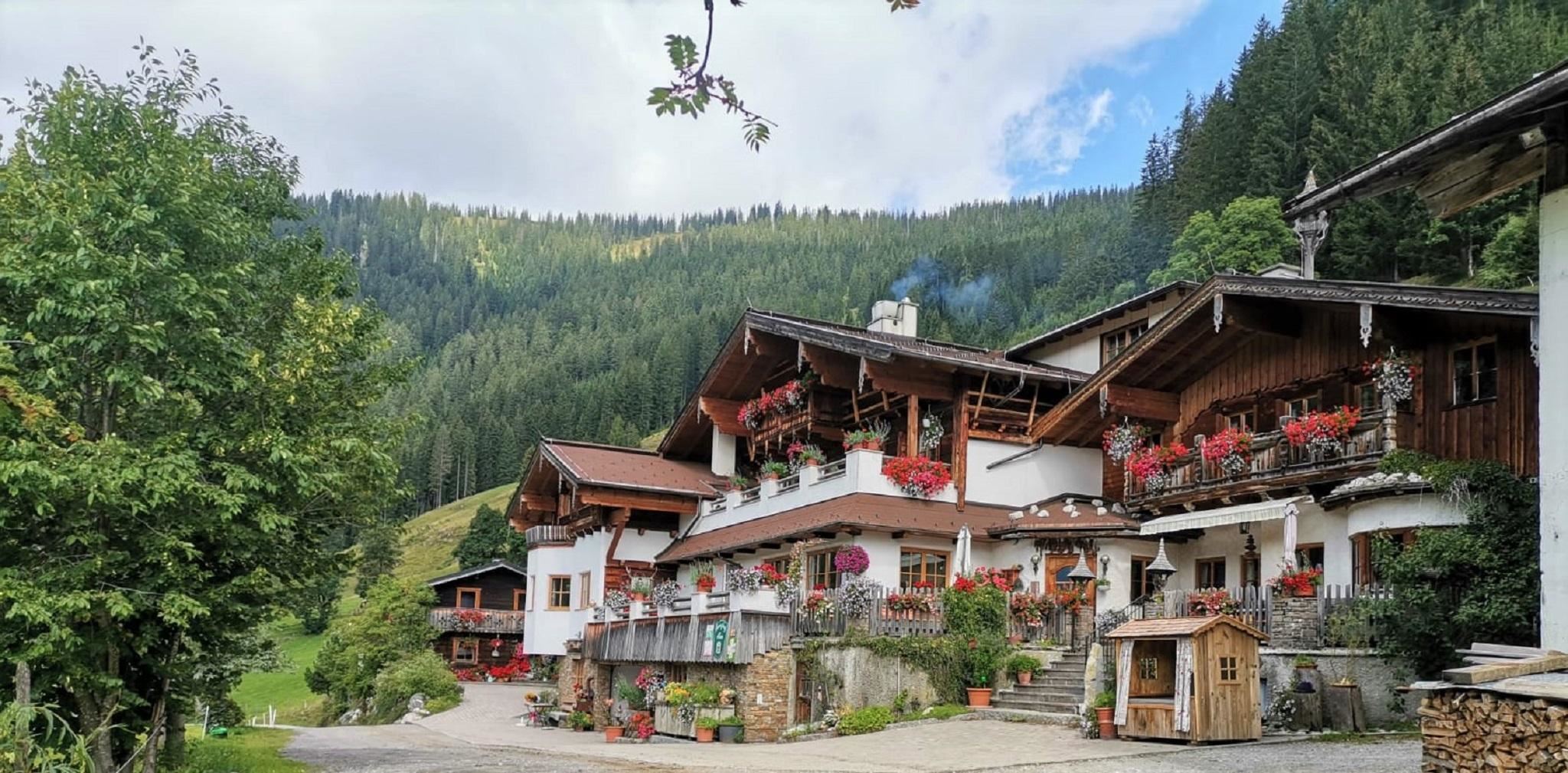
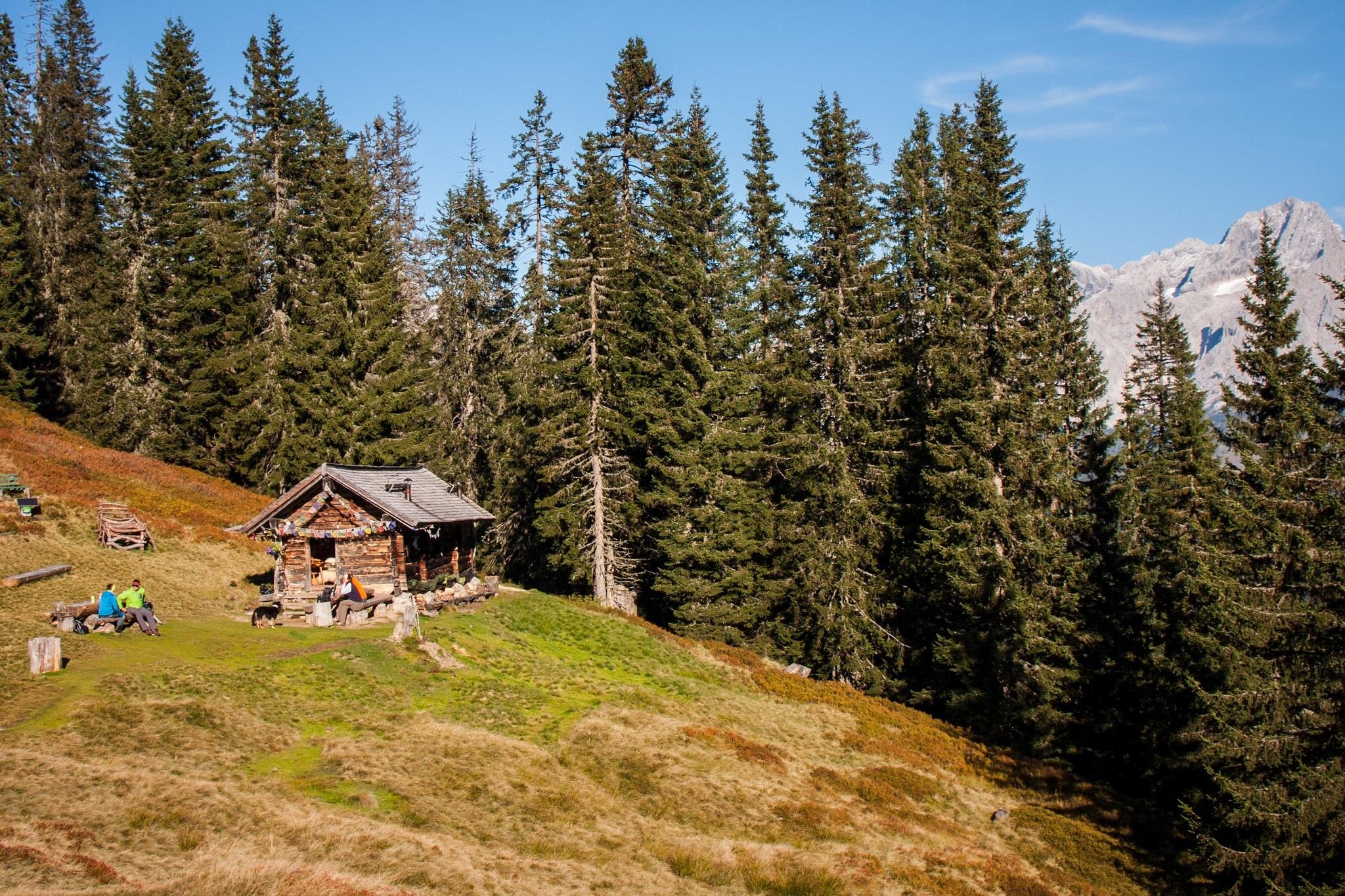
Nothing of this kind in Gosau.
Routes
15 from neighbouring places
Etappe 1: Dachstein Rundwanderweg
From the Vorderer Gosausee the opening day climbs over the Törlecksattel, passing the Gablonzer Hütte and the Stuhlalm before the Hofpürglhütte.
- 12.2 km
- Distance
- 1 193 m
- Ascent
- 5 h 52 min
- Duration
- 72
- Check-ins
BergeSeen 04 mit dem eMTB von Strobl über die Postalm nach Gosau
A long BergeSeen stage from the centre of Strobl over the Postalm to Gosau, on sealed and unsealed roads with a swing through the Tennengau.
- 70.4 km
- Distance
- 1 890 m
- Ascent
- 8 h 2 min
- Duration
Mit dem Rennrad über die Postalm
A long road-bike day out of Gosau in the Salzkammergut, built around the climb up onto the Postalm plateau and the descent back.
- 82.0 km
- Distance
- 1 784 m
- Ascent
- 8 h 57 min
- Duration
Rund um die Bischofsmütze "Etappe 2"
The middle day of the three-stage round of the Bischofsmütze, 1,446 m of climbing from the Gablonzer Hütte over the Steiglpass to the Hofpürglhütte, with a climbers' memorial on the Gosau side.
- 8.7 km
- Distance
- 1 477 m
- Ascent
- 8 h 43 min
- Duration
- 64
- Check-ins
Rund um die Bischofsmütze Etappe 3
The closing day of the round beneath the Bischofsmütze, linking the Stuhlalm, Breininghütte and Gablonzer Hütte, with a mountaineers' memorial on the Gosau side.
- 16.3 km
- Distance
- 497 m
- Ascent
- 5 h 29 min
- Duration
- 53
- Check-ins
Übungsklettersteig "Albert-Weiß-Steig"
7.9 km away, in Filzmoos
A very short practice via ferrata on the Lechnerturm, put up by mountain rescue and local climbers for training and quick sessions.
- 85 m
- Distance
- 0 m
- Ascent
- 2 min
- Duration
Etappe 2: Dachstein Rundwanderweg
8 km away, in Filzmoos
The second day of the Dachstein circuit, a high traverse from the Hofpürglhütte over the Kesselwand, the Rinderfeld and the Sulzenhals to the Dachsteinsüdwandhütte.
- 10.9 km
- Distance
- 832 m
- Ascent
- 5 h 8 min
- Duration
- 54
- Check-ins
Klettersteig auf den Steiglkogel
8 km away, in Filzmoos
A short alpine via ferrata above the Hofpürglhütte, its secured sections leading by the Steiglpass to the Steiglkogel; a head for heights is needed.
- 2.4 km
- Distance
- 547 m
- Ascent
- 2 h 32 min
- Duration
- 25
- Check-ins
Backcountry Skitour Sulzenschneid
8.6 km away, in Filzmoos
A well-liked 720 m ski tour past the Wallehenalm and Sulzenalm to the Sulzenhals, worthwhile in powder and equally good on spring firn.
- 3.3 km
- Distance
- 722 m
- Ascent
- 0 m
- Descent
- 1 h 57 min
- Duration
- 11
- Check-ins
Variante Sulzkaralm (SW05-V1)
9 km away, in Filzmoos
A short spur up to the Sulzkarhütte at 1,543 m, a variant off the main Filzmoos alm circuit.
- 1.4 km
- Distance
- 77 m
- Ascent
- 10 min
- Duration
- 1
- Check-ins
Variante Sulzenalm (SW07-V1)
9.3 km away, in Filzmoos
A steep short variant up to the Sulzenalm at 1,614 m, by the Krahlehenhütte and the Wallehenalm.
- 3.2 km
- Distance
- 377 m
- Ascent
- 35 min
- Duration
- 7
- Check-ins
Große Tor-Tour
10.9 km away, in Filzmoos
One of the Dachstein's major ski-touring days, over 2,000 m of climbing through the rock gateway of the Tor, with the Dachsteinsüdwandhütte and the Lärchbodenalm bracketing the route.
- 20.4 km
- Distance
- 2 116 m
- Ascent
- 2 116 m
- Descent
- 8 h 1 min
- Duration
- 82
- Check-ins
Skitour Schwaigalm über Forststrasse
11.8 km away, in Filzmoos
A beginner's ski tour following the forest road up to the Schwaigalm, a little over 300 m of climbing.
- 3.7 km
- Distance
- 302 m
- Ascent
- 0 m
- Descent
- 1 h 14 min
- Duration
- 4
- Check-ins
Arzbergalm über Forststraße
12.2 km away, in Filzmoos
An easy forest-road walk above Filzmoos, climbing from the Neubergerhof to the dairy hut at the Arzbergalm.
- 4.4 km
- Distance
- 301 m
- Ascent
- 1 h 31 min
- Duration
- 1
- Check-ins
Bad Goisern
11 km away, in Bad Goisern am Hallstättersee
A road route from Bad Goisern on the Hallstätter See out to Strobl and back again.
- 48.1 km
- Distance
- 419 m
- Ascent
- 4 h 40 min
- Duration
Panorama Runde Ramsau (SD 305)
13.3 km away, in Filzmoos
A long loop out of Filzmoos onto the Ramsau plateau, with its high point at the Türlwand at 1,689 m and a stop at the Dachsteinhaus.
- 63.2 km
- Distance
- 1 639 m
- Ascent
- 7 h 9 min
- Duration
- 116
- Check-ins
Salzburger Almenweg - Etappevariante 23a: Hofpürglhütte – Gerzkopf – St. Martin
8 km away, in Filzmoos
A variant of stage 23 that rejoins the Salzburger Almenweg over the Gerzkopf, running from the Hofpürglhütte past the Schwarze Lacken and the Sulzkarhütte to St. Martin.
- 19.8 km
- Distance
- 574 m
- Ascent
- 6 h 46 min
- Duration
- 36
- Check-ins
Irg 2 Klettersteig
11.7 km away, in Ramsau am Dachstein
Reached through the Rosmarie tunnel and across the upper Edelgrießkar, this secured line above the Edelgrießhöhe is usually descended via the Koppenkarstein west ridge to the Austriascharte.
- 3.7 km
- Distance
- 300 m
- Ascent
- 2 h 28 min
- Duration
- 100
- Check-ins
Über das Rinderfeld zur Hofpürglhütte
8.5 km away, in Filzmoos
From the Hofalmen the Linzer Steig climbs across the lower Rinderfeld to the Hofpürglhütte, with the Hohe Tauern in view to the south.
- 7.7 km
- Distance
- 550 m
- Ascent
- 3 h 39 min
- Duration
- 45
- Check-ins
Johann Klettersteig
11.5 km away, in Ramsau am Dachstein
The long classic via ferrata up the Dachstein south face, approached from the Dachsteinsüdwandhütte; snow can cover the first cables well into summer, and the exit leads over the glacier past the Seethalerhütte.
- 5.9 km
- Distance
- 550 m
- Ascent
- 4 h 21 min
- Duration
- 149
- Check-ins




No routes of this kind in Gosau yet.
The region's own picks

Featured route
Etappe 1: Dachstein Rundwanderweg
From the Vorderer Gosausee the opening day climbs over the Törlecksattel, passing the Gablonzer Hütte and the Stuhlalm before the Hofpürglhütte.
Planning a trip to Gosau?
Everything else Upper Austria has, in one place


Take Gosau with you into the mountains
Every route on this page with 3D terrain, GPX navigation and offline maps — including the valleys with no signal.
Data sources
- Official website: filzmoos.at ↗
- Routes and highlights: Filzmoos Tourismus, Salzkammergut, Salzburger Sportwelt, Schladming-Dachstein Tourismus
- Published as open data by the tourist boards named above.
- Region summary generated from the board's own material.
