
 Historic site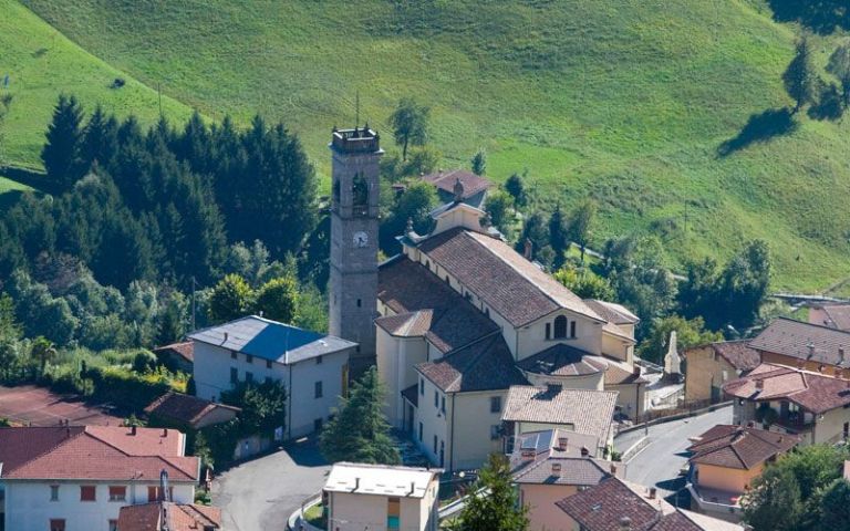








Curated by Val Seriana
Gorno
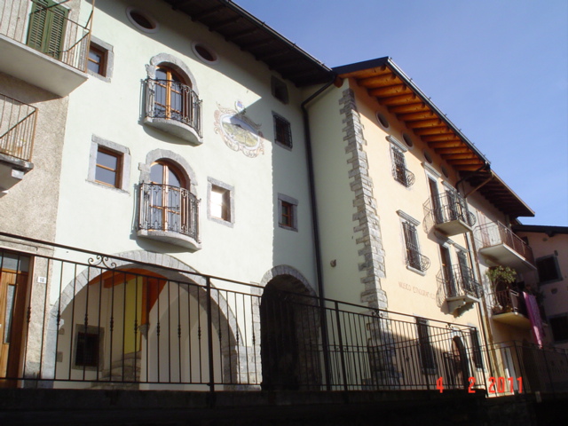
Val del Riso village built on zinc mining, with a miners' monument and galleries open in the hillside.
- 3Highlights
- 5Routes
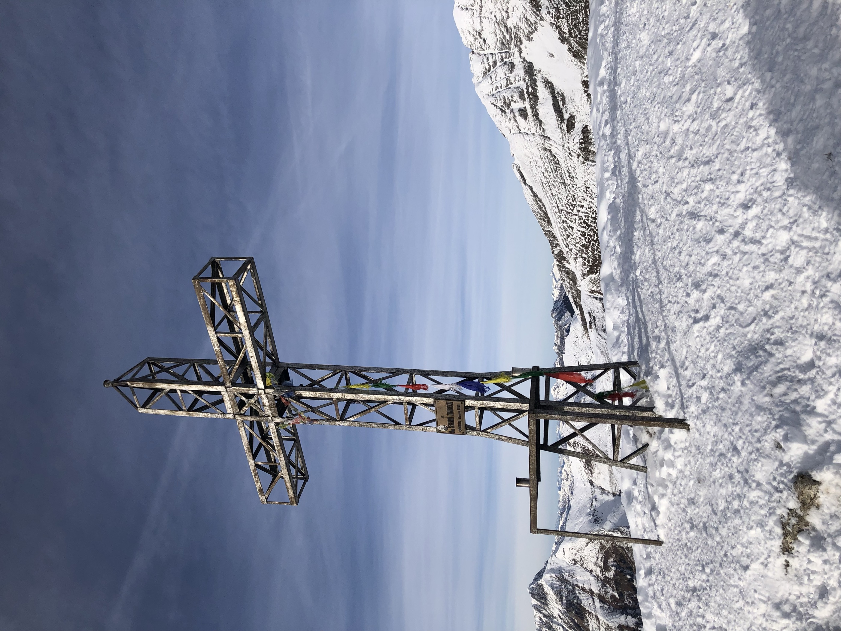
- Featured summit · Cima di Grem
Highlights
12 from neighbouring places
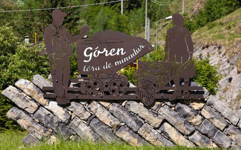
Monumento al Minatore e alla Taissina
A monument at Gorno to the miners and to the women who carried the ore down in baskets.
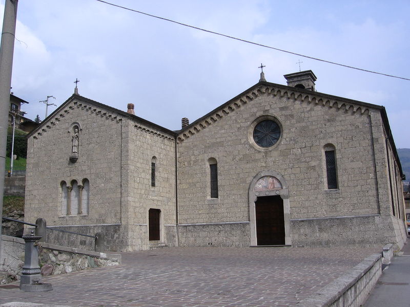
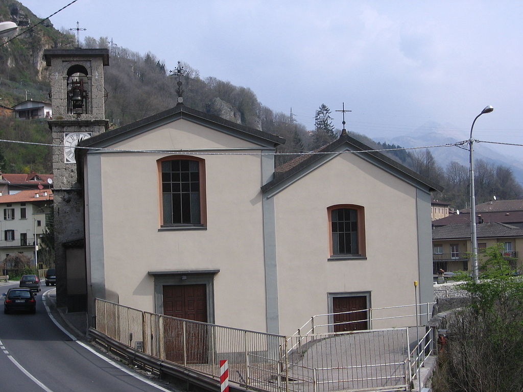
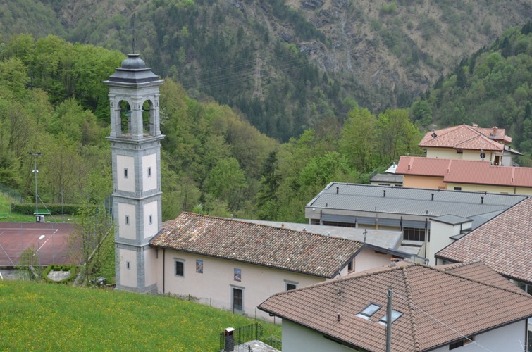
Chiesa della Madonna delle Grazie
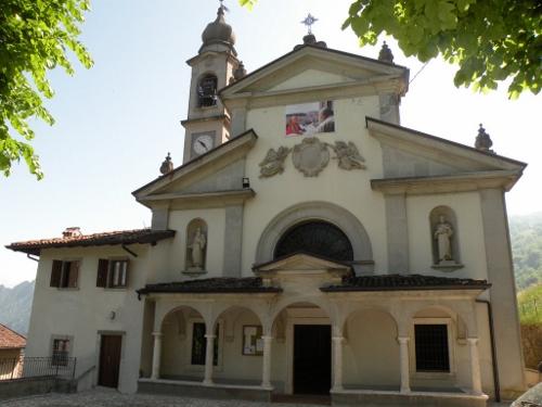
A church at Gorno, in the zinc-mining valley off the Val Seriana.
Borgo storico Cantoni a Oneta
1.6 km away, in Oneta
The old hamlet of Cantoni above Oneta, kept as it was built, on the wooded slopes of the Val del Riso.
Santuario Madonna del Frassino
1.6 km away, in Oneta
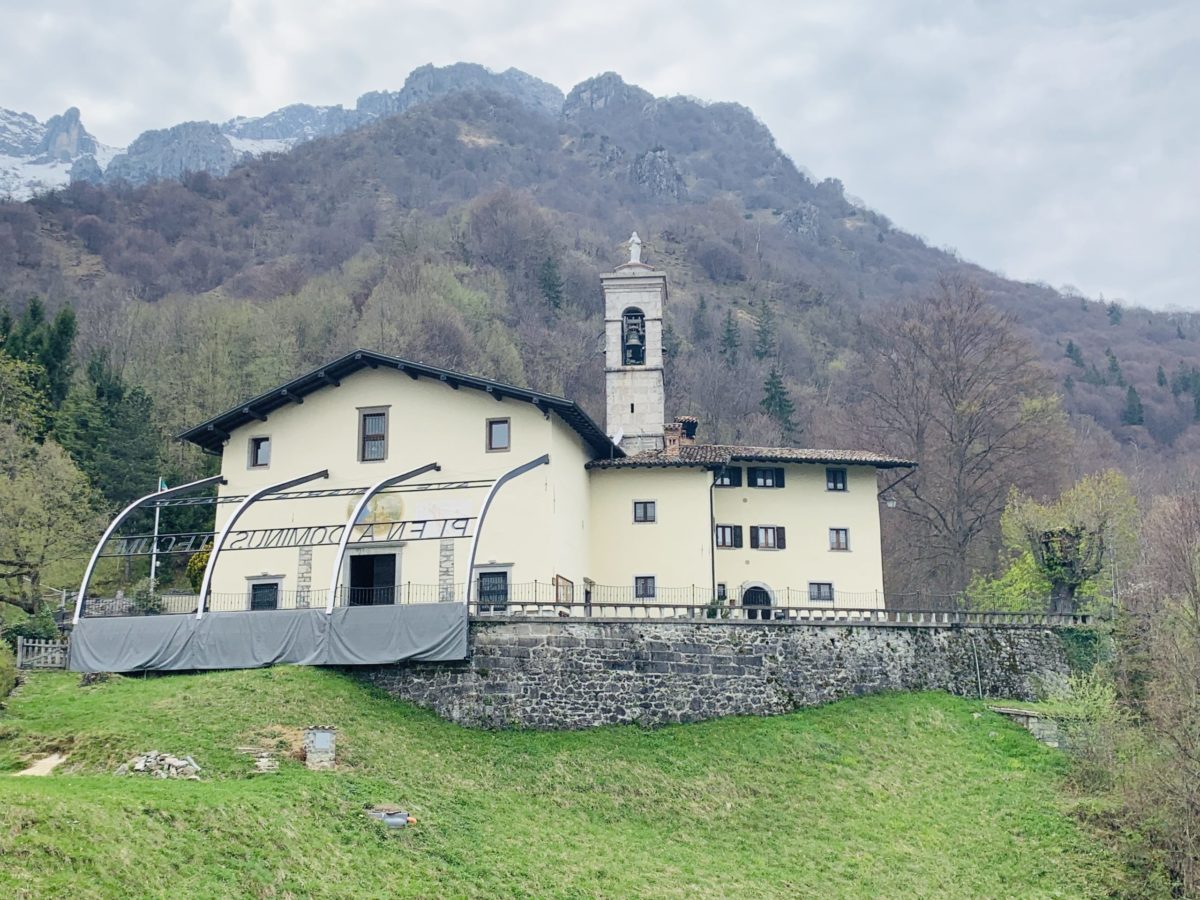
The sanctuary of the Madonna del Frassino above Oneta, in the Val del Riso.
Museo Etnografico scientifico-minerario
1.7 km away, in Oneta
The ethnographic, mining and science museum of Oneta, recording the lead and zinc workings of the Val del Riso.
Santuario della Madonna delle Lacrime
3.3 km away, in Ponte Nossa
A pilgrimage church at Ponte Nossa, built after a weeping-image miracle of 1511.
Sorgenti Nossana
3.6 km away, in Ponte Nossa
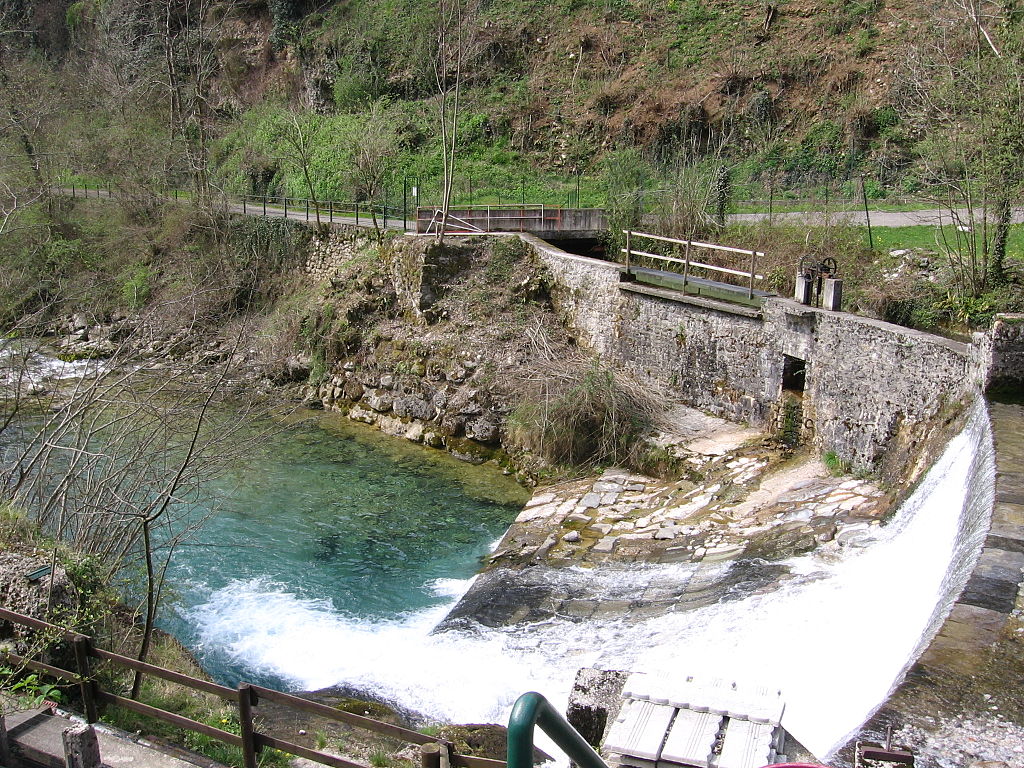
One of the largest karst springs in Italy, rising at the foot of the Val Seriana rock face.
Maglio Museo
3.8 km away, in Ponte Nossa
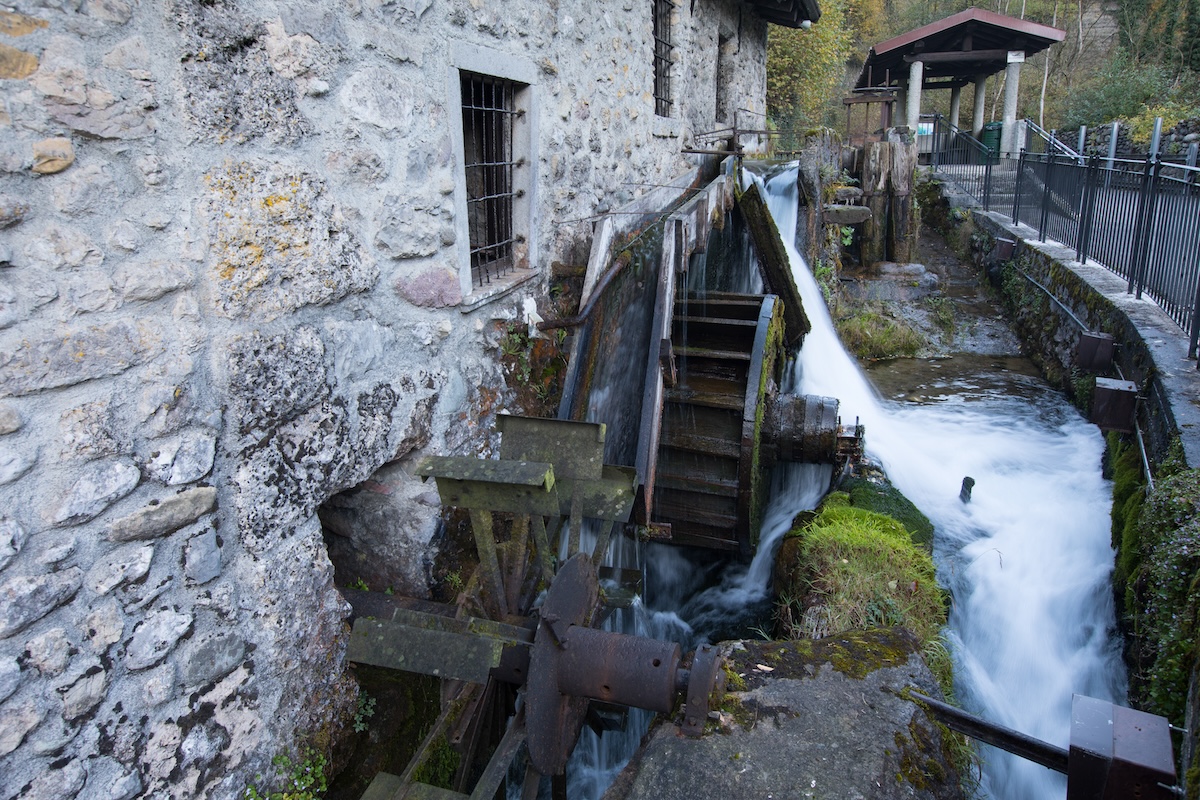
A working tilt hammer at Ponte Nossa, water-driven, kept as a museum of the valley's ironwork.
Santuario della Madonna d’Erbia
6.5 km away, in Casnigo
One of the two hill sanctuaries above Casnigo, standing on the slopes that close the Val Gandino to the north.
Santuario della Santissima Trinità
6.5 km away, in Casnigo
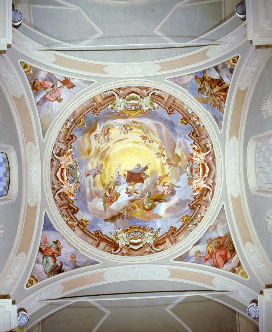
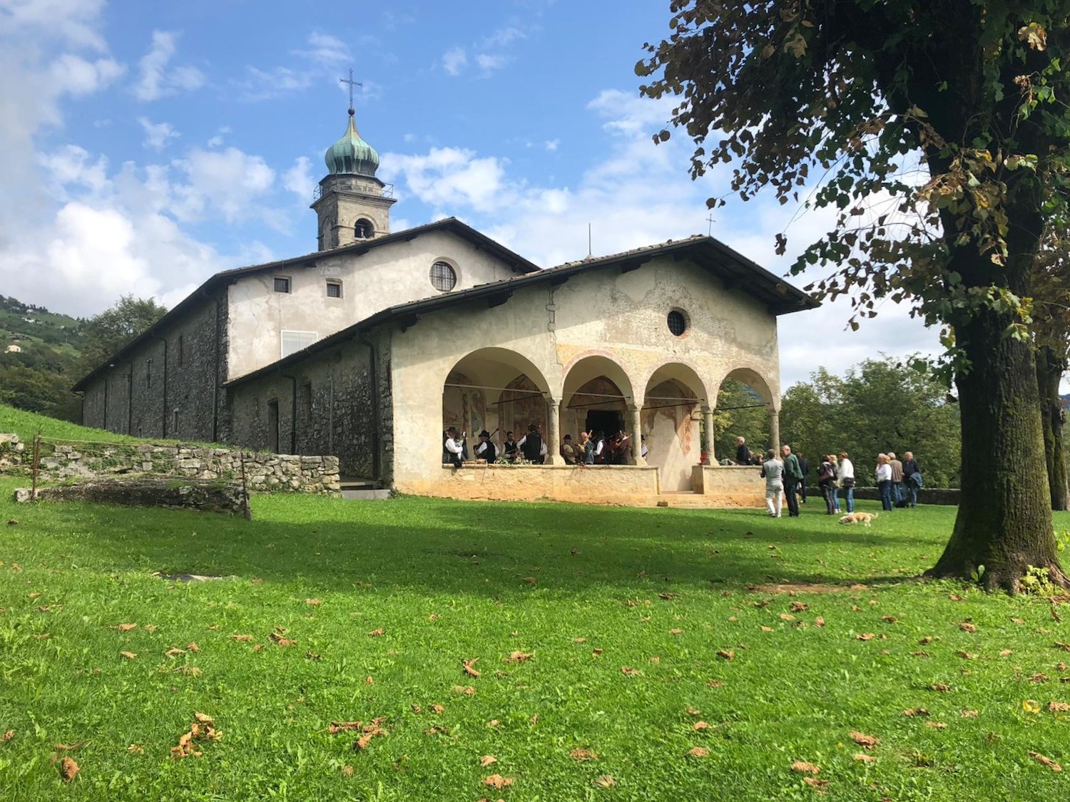
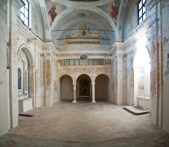
A Romanesque-Gothic sanctuary frescoed throughout on the hill above Casnigo, holding the Marinoni polyptych and long called the Sistine Chapel of the Bergamasca.
Ex Chiesa di S.Spirito
6.6 km away, in Casnigo
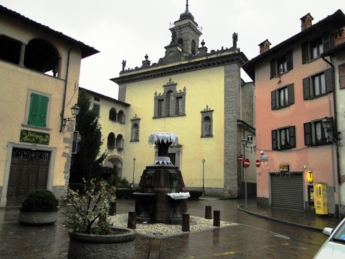
A former church in the centre of Casnigo, the Val Gandino village set on the slopes above the Serio.
Chiesa Arcipresbiterale Plebana
6.8 km away, in Casnigo
The mother church of Casnigo, the Val Gandino village on the slopes above the Serio.
La Sacrestia lignea della chiesa di S.Giovanni Battista
6.9 km away, in Casnigo
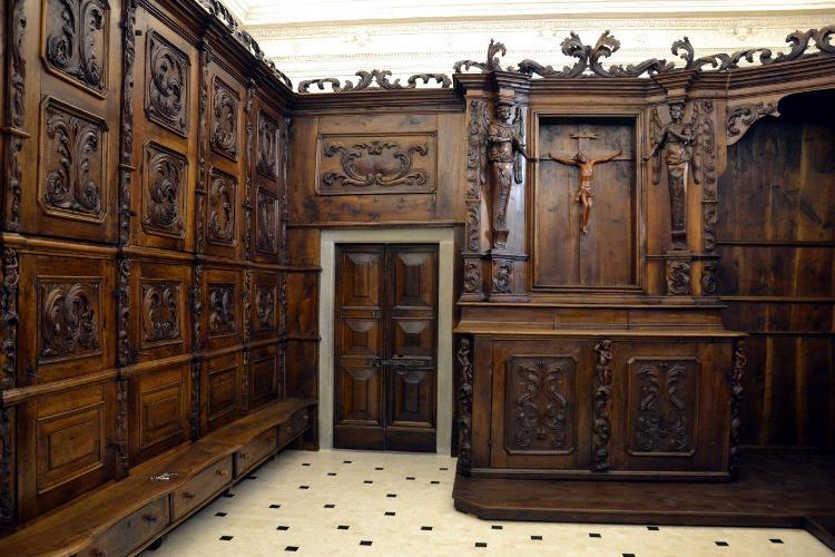
The wooden sacristy of the church of San Giovanni Battista at Casnigo, in the Val Gandino above the Serio.
Nothing of this kind in Gorno.
Routes
15 from neighbouring places
Miniera Costa Jels (BG) e dintorni di Oneta
A walk around Oneta from the Costa Jels mine at Gorno, in the old zinc-mining country of the Val del Riso.
- 4.2 km
- Distance
- 133 m
- Ascent
- 1 h 28 min
- Duration
- 14
- Check-ins
Baita Golla
A climb on CAI trail 260 above the Alpe Grina to the Baita Golla, on the old mining slopes of the Valle del Riso.
- 4.6 km
- Distance
- 653 m
- Ascent
- 2 h 39 min
- Duration
- 34
- Check-ins
 Rifugio Baita Golla 1 756 m
 Forcella bassa 1 317 m
- Piasöla 1 143 m
- Baita Foppelli 1 613 m
 Acqua per abbeverata 1 559 m
- Posa Piasöla 1 146 m
- +4
Giro del Monte Grem
A round of Monte Grem from the Alpe Grem hut above Villasio, on trail 239 to the summit ridge over the Valle del Riso.
- 9.9 km
- Distance
- 894 m
- Ascent
- 5 h 37 min
- Duration
- 253
- Check-ins
 Cima di Grem 2 050 m
- Baita Alta di Grem 1 634 m
- Bivacco Mistri 1 800 m
- Acqua per abbeverata 1 630 m
- Bocchetta di Grem 1 976 m
- Acqua per abbeverata 1 511 m
- +13
Monte Cavlera in e-bike
An e-bike climb out of Vertova in the Val Seriana up to the refuge at 1,160 m, past the Cappella della Pisónda and Barsì.
- 32.6 km
- Distance
- 1 109 m
- Ascent
- 3 h 56 min
- Duration
- 59
- Check-ins
Miniera di Foghera (BG) e dintorni
An easy walk from the mining ecomuseum at Gorno to the Foghera adit, in a valley worked for zinc and lead.
- 5.9 km
- Distance
- 343 m
- Ascent
- 2 h 10 min
- Duration
- 12
- Check-ins
Altopiano Tour
8.5 km away, in Clusone
A short circuit of the Clusone plateau, ridden or walked, through its fields and old lanes.
- 17.8 km
- Distance
- 212 m
- Ascent
- 1 h 47 min
- Duration
- 10
- Check-ins
MONTE FARNO CON LA NEVE
8.6 km away, in Gandino
A long winter climb to Monte Farno and the Parafulmine hut, on frozen snow above Gandino.
- 20.9 km
- Distance
- 1 095 m
- Ascent
- 2 h 59 min
- Duration
- 180
- Check-ins
Val Sedornia in MTB
12.5 km away, in Gromo
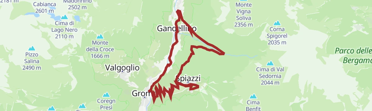
A climb out of Gromo into the Val Sedornia, passing the Ristorante Posta al Castello and the barns at Stalle del Flesco.
- 21.0 km
- Distance
- 884 m
- Ascent
- 2 h 42 min
- Duration
- 43
- Check-ins
Escursione Cima del Grem
3.5 km away, in Oneta
The climb to the Cima del Grem between the upper Val Seriana and the Val del Riso.
- 13.9 km
- Distance
- 881 m
- Ascent
- 6 h 1 min
- Duration
- 363
- Check-ins
Dal fiume Serio in bici fino al Rifugio Santamaria
3.6 km away, in Ponte Nossa
A long climb out of the Serio valley through fir and beech woods and high pasture, past the huts of Alpe Vaccaro to the Baita Forcella.
- 30.9 km
- Distance
- 1 800 m
- Ascent
- 4 h 46 min
- Duration
- 52
- Check-ins
Tour al Rifugio Vaccaro
3.7 km away, in Ponte Nossa
A long, demanding round from Ponte Nossa to the Rifugio Vaccaro on the hills of the middle Val Seriana.
- 24.2 km
- Distance
- 1 190 m
- Ascent
- 8 h 45 min
- Duration
- 69
- Check-ins
Dal Monte Farno al Rifugio Parafulmine
6.7 km away, in Gandino
A well-signed family walk from the Monte Farno car park above Gandino to the Rifugio Parafulmine.
- 3.7 km
- Distance
- 312 m
- Ascent
- 1 h 27 min
- Duration
- 179
- Check-ins
Sul Monte Farno al Rif. Parafulmine
8.7 km away, in Leffe
A climb on Monte Farno above Gandino to the Parafulmine hut, by the Baita Cornei and Malga Lunga.
- 31.9 km
- Distance
- 1 229 m
- Ascent
- 3 h 59 min
- Duration
- 125
- Check-ins
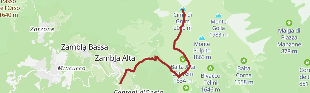
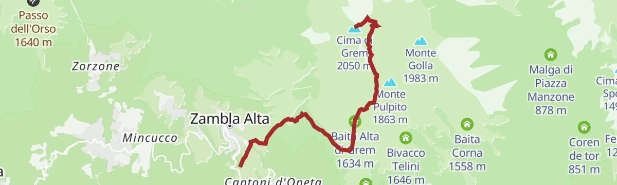
Sulle cime del Monte Grem
3.5 km away, in Oneta
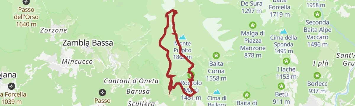
A steep climb above Oneta in the Brembana valley to the Cima di Grem, over old mining ground by the Col di Zambla.
- 5.4 km
- Distance
- 821 m
- Ascent
- 3 h 16 min
- Duration
- 271
- Check-ins
- Cima di Grem 2 050 m
- Col Di Zambla 1 274 m
- Colle di Zambla 1 264 m
- Deposito SAB Passo Zambla 1 254 m
- Baita Alta di Grem 1 634 m
- Acqua per abbeverata 1 511 m
- +4
Tour dell'Altopiano di Clusone
5.4 km away, in Clusone
A circuit of the Clusone plateau, leaving the cycle path for the old pastoral road above the town.
- 30.1 km
- Distance
- 849 m
- Ascent
- 3 h 28 min
- Duration
- 9
- Check-ins
Vaccaro Tour
3.7 km away, in Ponte Nossa
A long circuit from Ponte Nossa in the Val Seriana, climbing the slopes towards the Vaccaro pastures and back.
- 23.2 km
- Distance
- 1 282 m
- Ascent
- 9 h 6 min
- Duration
- 63
- Check-ins
Via Mercatorum da Nespello a Cornalba
8.9 km away, in Costa Serina
An easy walk on a stretch of the old merchants' road over the Forcella di Nespello, once the main link for traders crossing these hills.
- 4.6 km
- Distance
- 315 m
- Ascent
- 1 h 53 min
- Duration
- 9
- Check-ins
Tour del Monte Farno in Mountain Bike
9 km away, in Leffe
A steep climb to the Monte Farno hut above Gandino, passing the Malga Lunga and its partisan museum.
- 32.2 km
- Distance
- 1 365 m
- Ascent
- 4 h 9 min
- Duration
- 125
- Check-ins
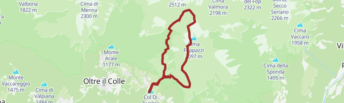
Escursione sulla Cima Grem dal Colle di Zambla
3.5 km away, in Oltre il Colle
A ridge path from the Colle di Zambla to the summit of Cima di Grem, above Oltre il Colle in the Brembana valley.
- 5.6 km
- Distance
- 854 m
- Ascent
- 3 h 28 min
- Duration
- 290
- Check-ins
- Cima di Grem 2 050 m
- Col Di Zambla 1 274 m
- Colle di Zambla 1 264 m
- Baita Alta di Grem 1 634 m
- Bivacco Mistri 1 800 m
- Acqua per abbeverata 1 630 m
- +4
Cycle path of river Serio
5.4 km away, in Clusone
A long ride beside the Serio, on the cycleway that runs from the lower valley up through Clusone towards Valbondione.
- 53.9 km
- Distance
- 716 m
- Ascent
- 5 h 25 min
- Duration
- 51
- Check-ins
No routes of this kind in Gorno yet.
The region's own picks
Featured route
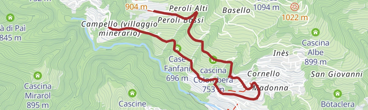
Miniera Costa Jels (BG) e dintorni di Oneta
A walk around Oneta from the Costa Jels mine at Gorno, in the old zinc-mining country of the Val del Riso.
Planning a trip to Gorno?
Everything else Lombardy has, in one place


Take Gorno with you into the mountains
Every route on this page with 3D terrain, GPX navigation and offline maps — including the valleys with no signal.
Data sources
- Official website: valseriana.eu ↗
- Routes and highlights: Val Seriana, in Lombardia, Valleserianabike
- Published as open data by the tourist boards named above.
- Region summary generated from the board's own material.
