
Curated by Region Hall-Wattens
Gnadenwald
A sunny plateau village at nearly 900 m above the Inn between Hall and the Karwendel walls, with the St. Martin monastery and paths up to the Walderalm.
- 4Highlights
- 19Routes
- Featured summit · Walder Joch
Highlights
11 from neighbouring places
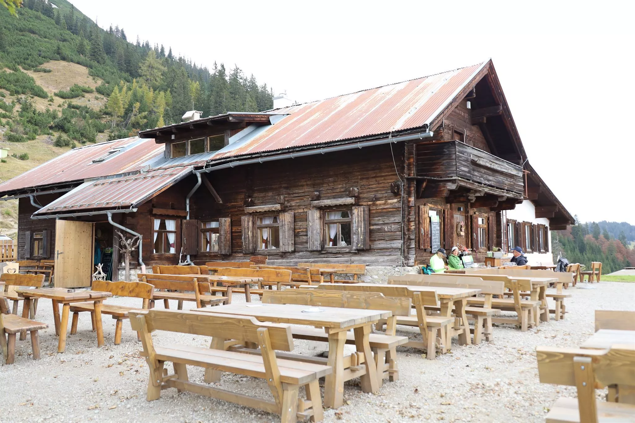
Hinterhornalm
A pasture inn above Gnadenwald on the southern rim of the Karwendel, with wide views over the Inn valley and a path on towards the Hundskopf.
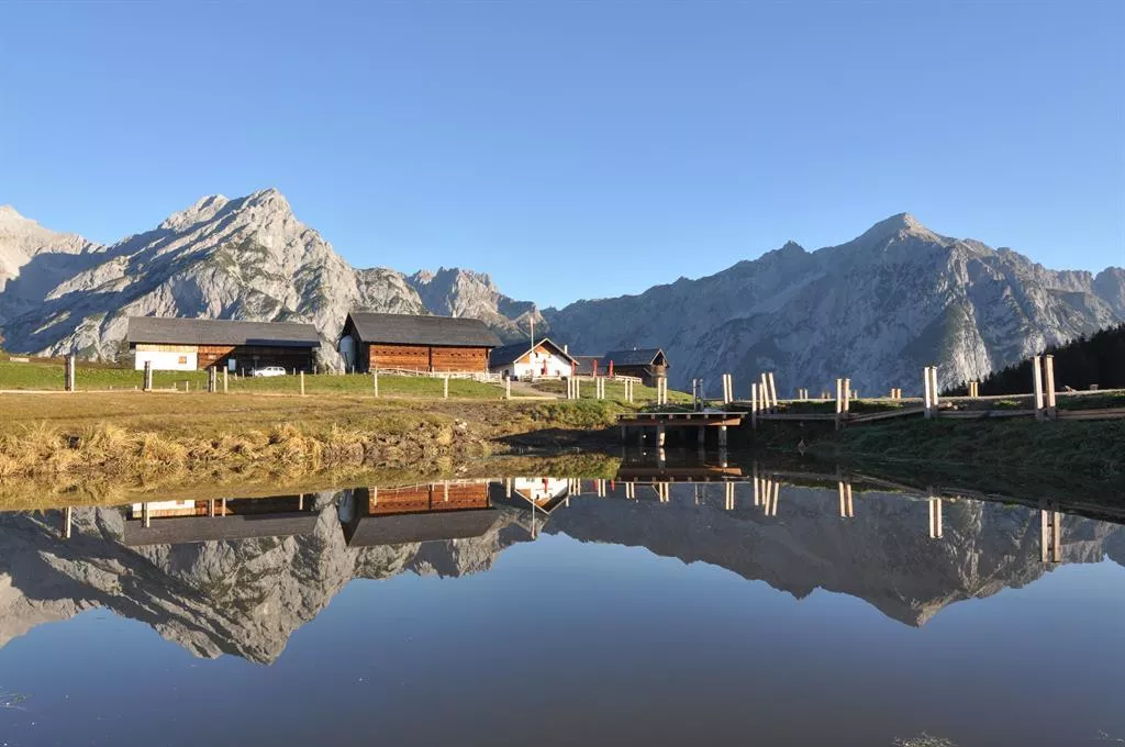
Jausenstation Walderalm
A working pasture above Gnadenwald in the Karwendel foothills, serving snacks and its own dairy produce with views across the Inn valley.
Speckis Kinderparadies & Minigolf
A family leisure ground at Gnadenwald, 879 m on the sunny terrace above the Inn valley, with minigolf, trampolines, table tennis and playgrounds.
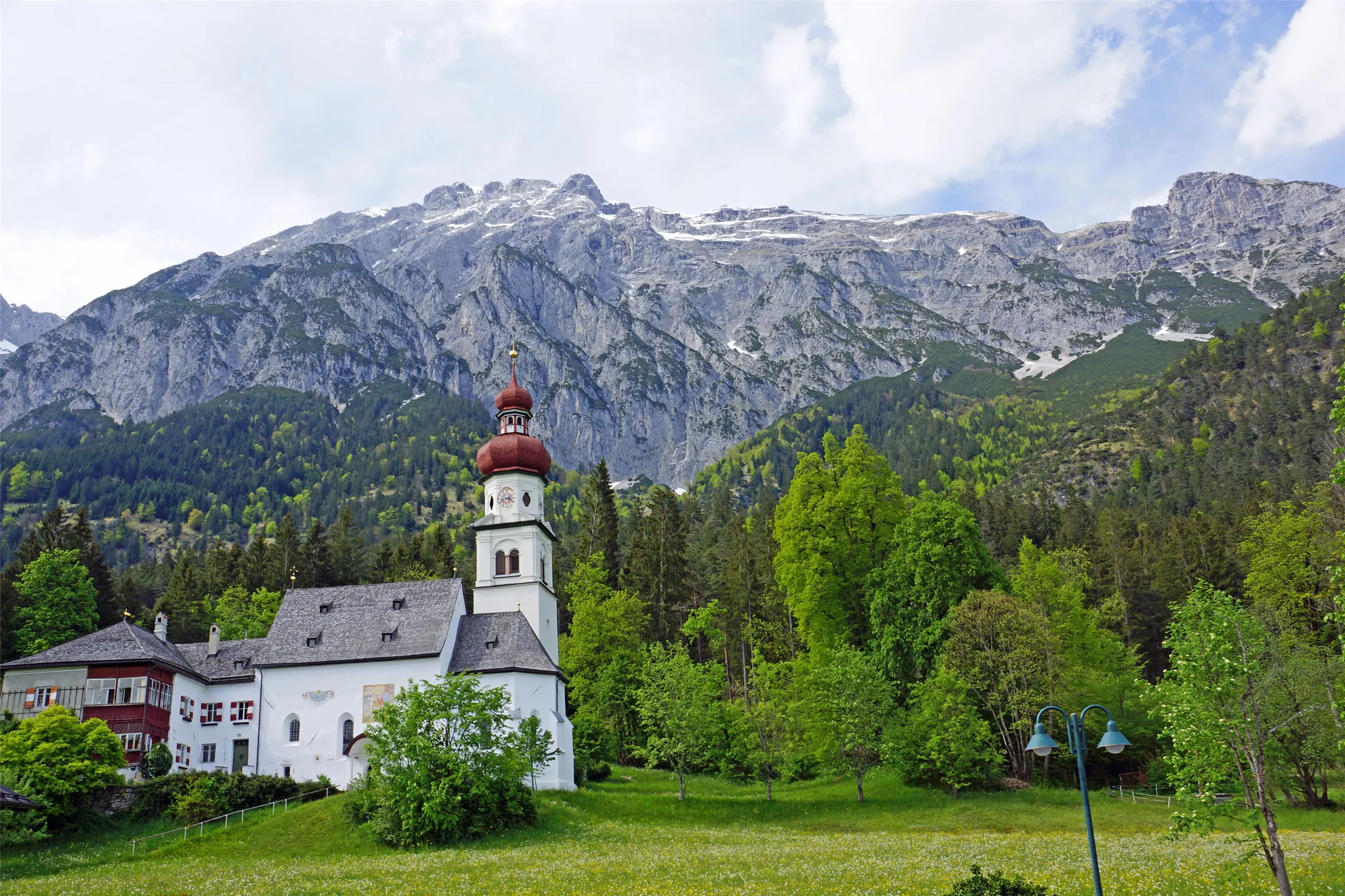
Kloster St. Martin
A monastery at St. Martin in Gnadenwald, 879 m on the terrace above the Inn valley, its church a stop on walks through the scattered hamlet.
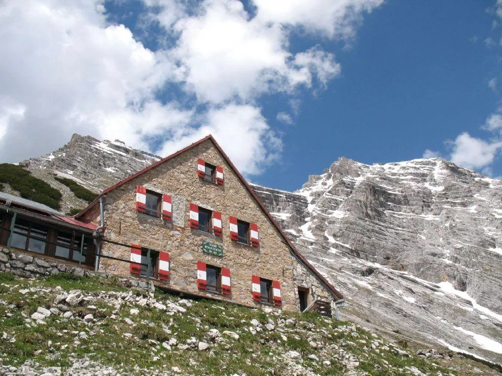
Bettelwurfhütte
5.4 km away, in Absam
A mountain refuge high on the flank of the Bettelwurf in the Karwendel above Absam, reached from the Halltal and serving regional dishes.
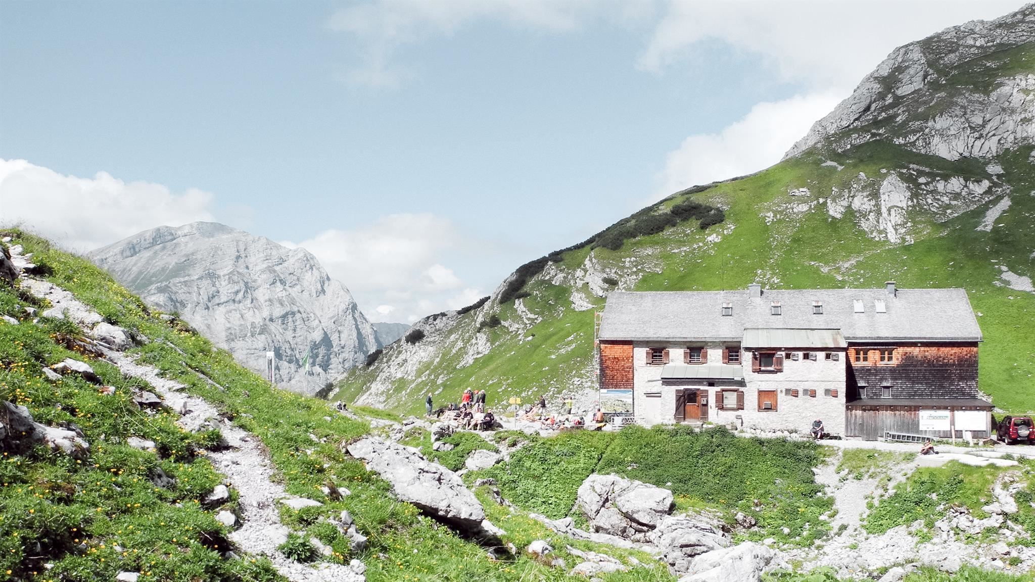
Lamsenjochhütte
5.4 km away, in Vomp
An Alpine Club hut at about 1,950 m below the Lamsenspitze in the eastern Karwendel, serving Austrian dishes to climbers and crossers.
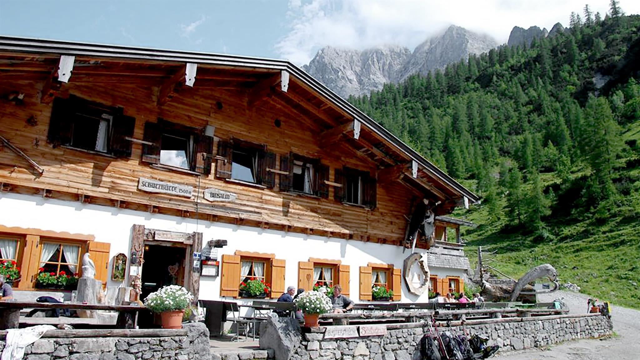
Binsalm
6.9 km away, in Vomp
A managed alm at about 1,500 m above the Eng in the Karwendel, serving regional dishes on the walk toward the Lamsenjoch.
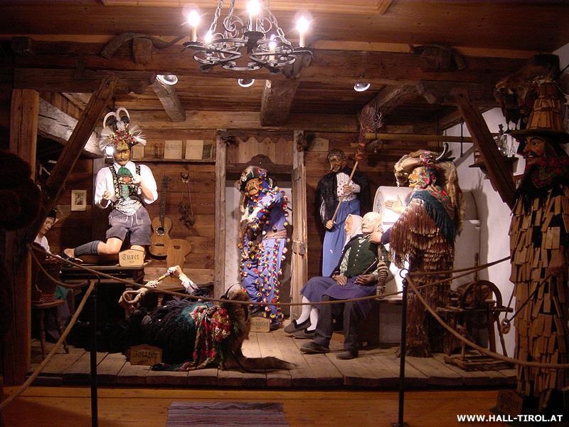
Matschgerermuseum Absam
7.1 km away, in Absam
A museum in Absam on the Matschgerer, the village's traditional carnival figures, showing their carved wooden masks and costumes.
Gemeindemuseum Absam
7.3 km away, in Absam
The local museum of Absam, covering village history in the home village of the 17th-century violin maker Jakob Stainer.
Haus steht Kopf
7.3 km away, in Vomp
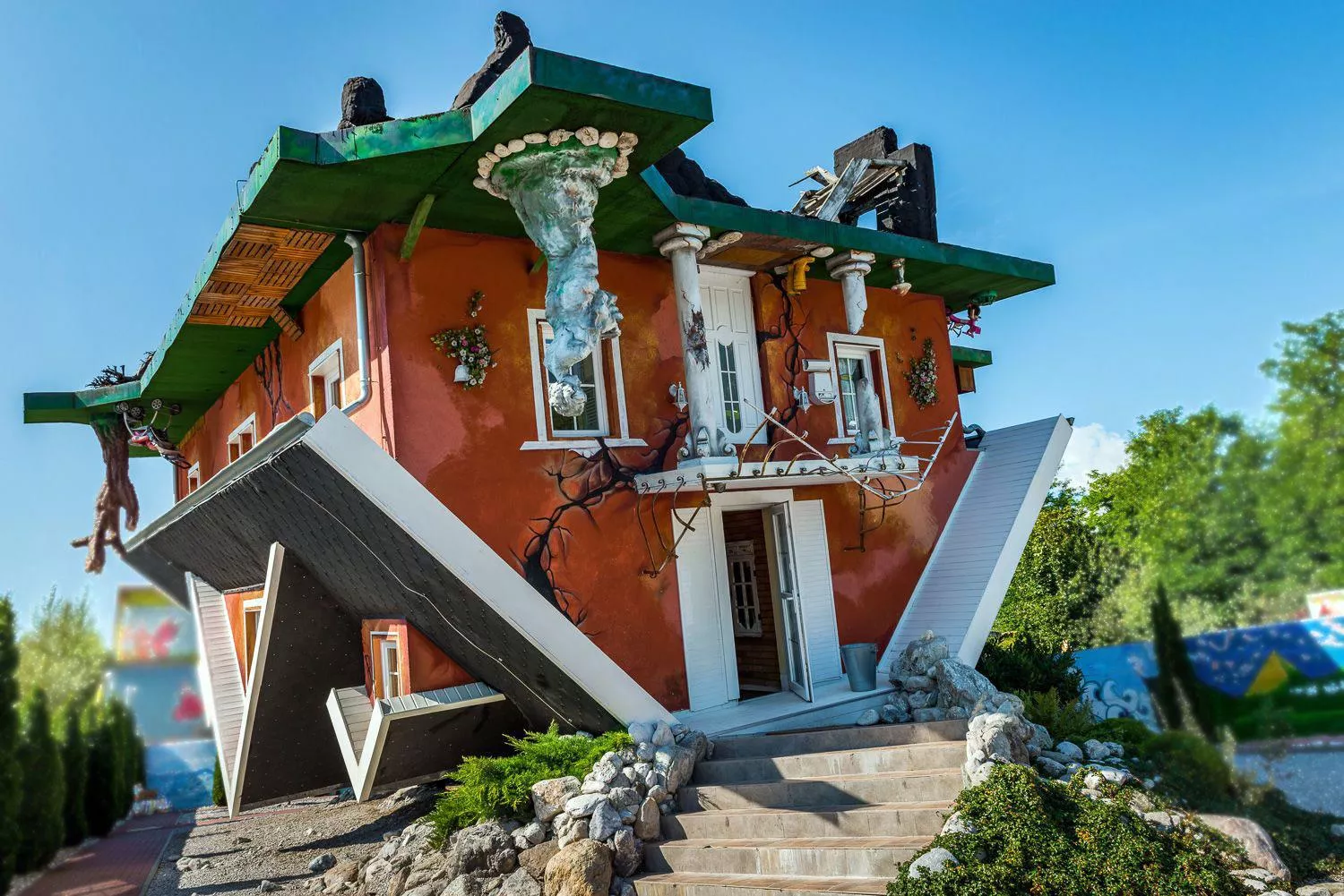
An upside-down house built in the Inn valley near Vomp, its rooms and furnishings fixed overhead for walk-through visits.
Halleranger Alm
7.8 km away, in Absam
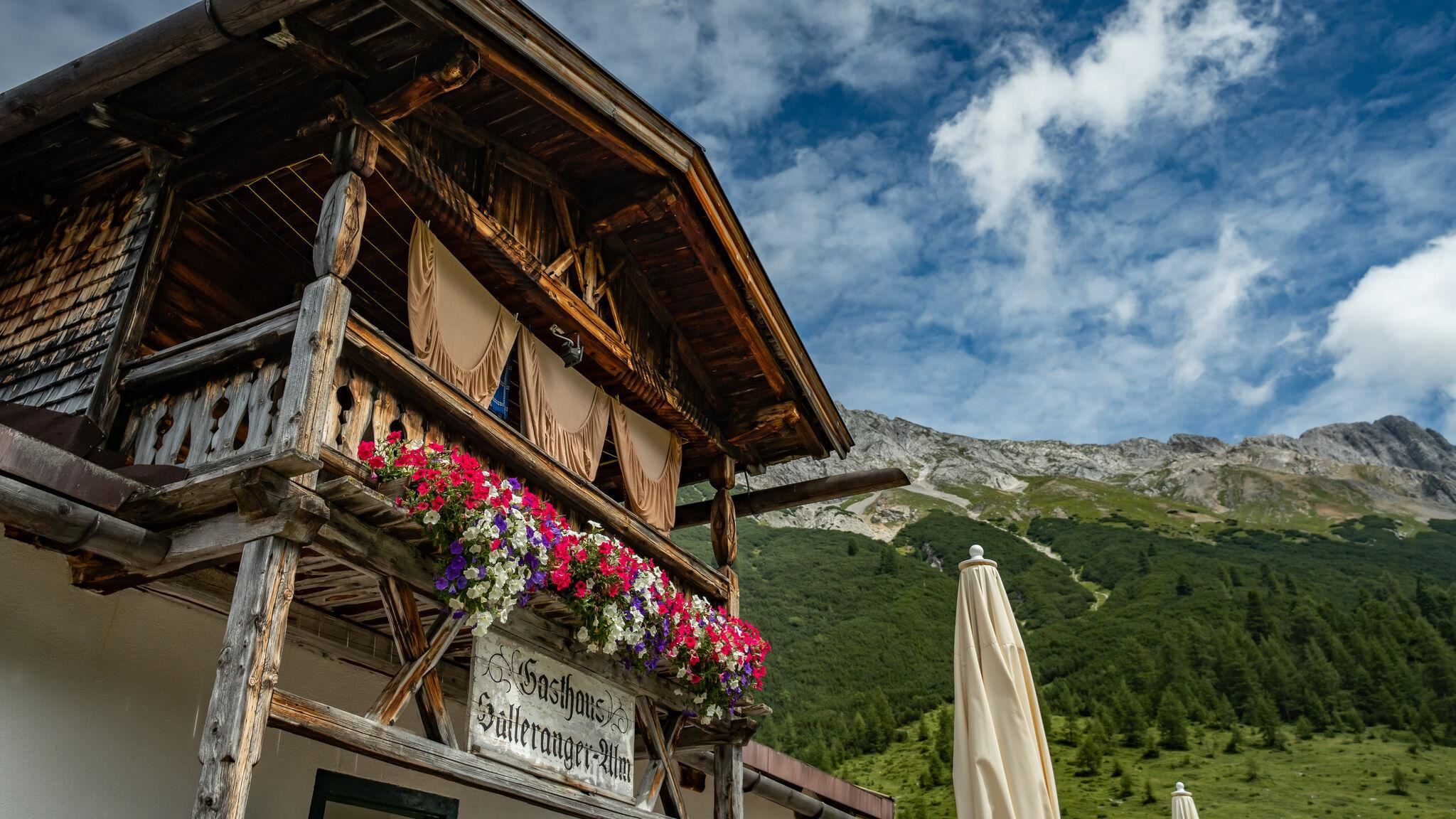
An alm deep in the Karwendel at the Halleranger, reached on long valley routes from Scharnitz and lodging hut-to-hut walkers.
Hallerangerhaus
8 km away, in Absam
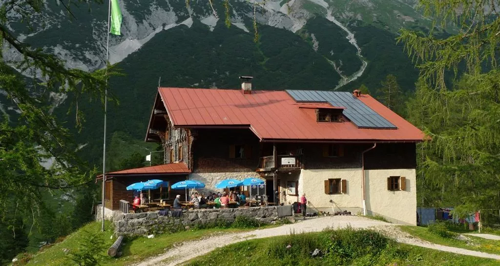
An alpine club house in the Halleranger basin of the Karwendel above Absam, a base for valley crossings towards Scharnitz and climbs on the surrounding peaks.
Happy Hopp Vomp
8.3 km away, in Vomp
An indoor play centre for children at Vomp in the Inn valley, a wet-weather day-trip option from the Wilder Kaiser villages.
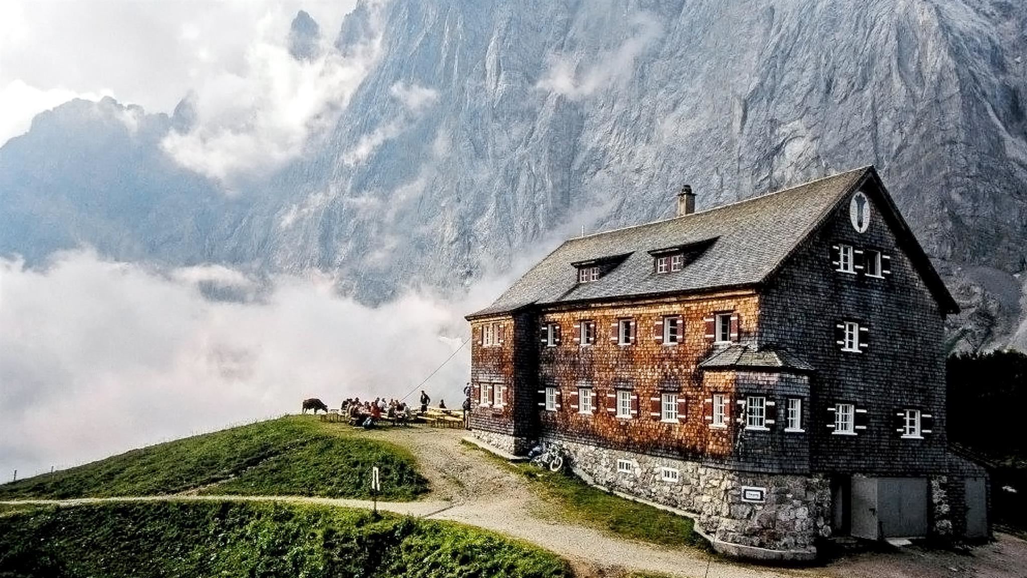
Falkenhütte
9.4 km away, in Vomp
An Alpine Club hut at about 1,850 m facing the Laliderer north walls in the Karwendel, a stage on the crossing between the Eng and Scharnitz.
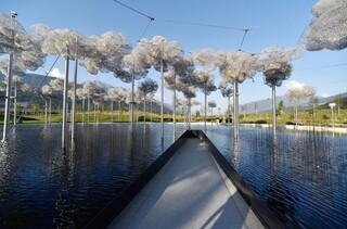
Swarovski Kristallwelten Wattens
4.7 km away, in Wattens
The Swarovski Kristallwelten at Wattens, a crystal-themed art world designed around André Heller's water-spouting giant, opened in 1995 beside the company's home factory.
 Mountain hut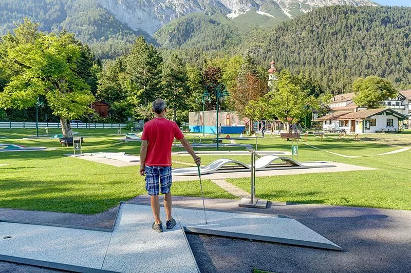
 Historic site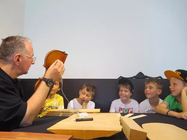

Nothing of this kind in Gnadenwald.
Routes
Felix-Kuen-Klettersteig am Hundskopf
Short and fairly straightforward via ferrata from the Hinterhornalm to the Hundskopf, 713 m of height gain by the Mannl- und Weibelescharte.
- 2.1 km
- Distance
- 706 m
- Ascent
- 2 h 55 min
- Duration
- 12
- Check-ins
Panoramaweg zwischen Hinterhornalm und Walderalm
Easy 3.6 km link between the Hinterhornalm and the Walderalm, facing the Karwendel walls the whole way, with 243 m of climb.
- 3.6 km
- Distance
- 235 m
- Ascent
- 1 h 35 min
- Duration
- 22
- Check-ins
Karwendeltour - Vom Kloster St. Martin Gnadenwald über die Hinterhornalm zur Walderalm
A 700 m climb from the St. Martin monastery in Gnadenwald by the Hinterhornalm to the Walderalm, 5.5 km with the Tuxer Alpen across the Inn valley.
- 5.6 km
- Distance
- 646 m
- Ascent
- 2 h 45 min
- Duration
- 29
- Check-ins
Bergsagen Weitwanderweg: Etappe 5 von Gnadenwald nach Mairbach/Gnadenwald
Final stage of the five-day Bergsagen route, 17.6 km over the Walderalm plateau and the Ganalm with a last look into the Vomperloch before the Karwendel is left behind.
- 17.6 km
- Distance
- 705 m
- Ascent
- 5 h 52 min
- Duration
- 32
- Check-ins
Hinterhornalm mittelschwere MTB Tour in Gnadenwald, Tirol
A direct climb on the toll road from Mauthäusl up to the alm at just over 1,500 m on the slopes above Gnadenwald.
- 6.0 km
- Distance
- 633 m
- Ascent
- 1 h 1 min
- Duration
- 19
- Check-ins
3 Almen Karwendelrunde MTB Route 408
A forest-road circuit above Gnadenwald linking the Walder Alm, Hinterhorn Alm and Ganalm on the southern edge of the Karwendel.
- 23.9 km
- Distance
- 749 m
- Ascent
- 2 h 50 min
- Duration
- 32
- Check-ins
Rennrad 17 Highway to Höll - auf den Spuren der Rad WM 2018
A long ride on the roads of the 2018 world championships, out along the Inn valley and up to the Hungerburg terrace above Innsbruck.
- 110.0 km
- Distance
- 1 100 m
- Ascent
- 10 h 47 min
- Duration
- 42
- Check-ins
Mittelschwere Wanderung auf das Walderjoch in Tirol
A 12.8 km outing with 741 m of climb by way of the Walderalm to the Walder Joch, a modest top with a wide outlook.
- 12.8 km
- Distance
- 776 m
- Ascent
- 5 h 22 min
- Duration
- 13
- Check-ins
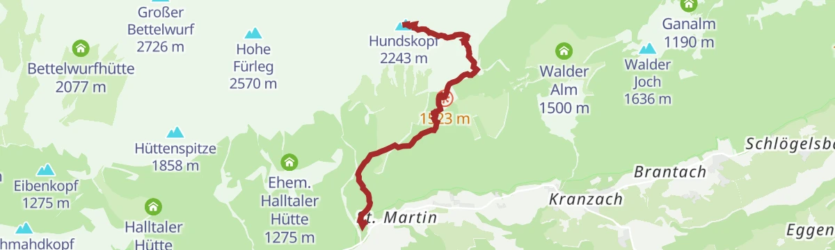
Gnadenwald - Hinterhornalm - Hundskopf
Steep 1,353 m climb in under 5 km from Gnadenwald over pasture to the foot of the Hundskopf, whose top is reached by a scrambling path or the via ferrata.
- 4.9 km
- Distance
- 1 342 m
- Ascent
- 4 h 50 min
- Duration
- 19
- Check-ins
Rennrad 14 Hinterhorn Alm
A long road day up the Inn valley from Radfeld, finishing with the toll-road climb to the alm at 1,522 m north of Hall in Tirol.
- 93.9 km
- Distance
- 1 328 m
- Ascent
- 9 h 35 min
- Duration
- 36
- Check-ins
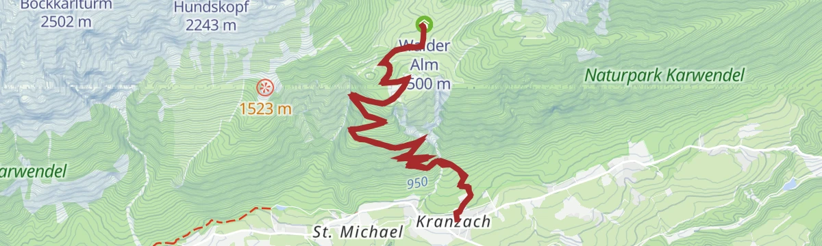
Von Gnadenwald/Kranzach zur Walderalm
Steep 9.9 km ascent from Kranzach in Gnadenwald, gaining 611 m to the Walderalm on its high shelf.
- 9.9 km
- Distance
- 644 m
- Ascent
- 4 h 22 min
- Duration
- 10
- Check-ins
Über die Ganalm zur Walderalm
Circuit of 15.4 km by way of the Ganalm onto the Walderalm plateau, looking across the Karwendel and down into the Inn valley.
- 15.4 km
- Distance
- 647 m
- Ascent
- 5 h 13 min
- Duration
- 13
- Check-ins
Innsbruck - Hinterhornalm
A road climb from Innsbruck's old town up the toll road above Thaur to the Hinterhorn Alm at 1,522 m, and the same way back.
- 41.5 km
- Distance
- 1 168 m
- Ascent
- 4 h 47 min
- Duration
- 21
- Check-ins
Zur Krokusblüte auf die Walderalm
A 9.4 km climb of 619 m to the Walderalm, timed for the crocuses that cover the plateau in spring.
- 9.4 km
- Distance
- 606 m
- Ascent
- 4 h 7 min
- Duration
- 10
- Check-ins
Der Jakobsweg in der Region Hall- Wattens
The Tyrolean stretch of the Camino through the Hall-Wattens region, running from Gnadenwald to Thaur past the Mauthäusl and the Walderkapelle.
- 16.0 km
- Distance
- 330 m
- Ascent
- 4 h 34 min
- Duration
- 9
- Check-ins
Innsbruck Hochplateau Ride
A demanding tour over the terraces above the Inn valley, taking in the Goldbichl and a string of mid-mountain farms and inns.
- 107.7 km
- Distance
- 2 530 m
- Ascent
- 11 h 57 min
- Duration
- 21
- Check-ins
Bergsagen Weitwanderweg: Etappe 1 von Kranzach/Gnadenwald nach Wattens
Opening stage of the Bergsagen route, an easy 11.8 km across the Gnadenwald plateau by Maria Larch to Wattens, with under 200 m of climb.
- 11.8 km
- Distance
- 158 m
- Ascent
- 3 h 28 min
- Duration
After Work
An evening round on the terraces above Hall in Tirol, over the Palmbühel and past the Walderkapelle and the Großer Weiher at 630 m.
- 49.9 km
- Distance
- 1 032 m
- Ascent
- 5 h 24 min
- Duration
- 8
- Check-ins
Rund um Innsbruck
A long road loop over the terraces east of Innsbruck, through Rinn and Ampass and down to the Inn at Fritzens and Wattens.
- 60.6 km
- Distance
- 1 464 m
- Ascent
- 6 h 45 min
- Duration
- 8
- Check-ins





No routes of this kind in Gnadenwald yet.
The region's own picks

Featured route
Panoramaweg zwischen Hinterhornalm und Walderalm
Easy 3.6 km link between the Hinterhornalm and the Walderalm, facing the Karwendel walls the whole way, with 243 m of climb.
Planning a trip to Gnadenwald?
Everything else Tyrol has, in one place


Take Gnadenwald with you into the mountains
Every route on this page with 3D terrain, GPX navigation and offline maps — including the valleys with no signal.
Data sources
- Official website: hall-wattens.at ↗
- Routes and highlights: Region Hall-Wattens, Region Seefeld, Innsbruck Tourismus, Alpbachtal Tourismus, Wilder Kaiser Tourismus
- Published as open data by the tourist boards named above.
- Region summary generated from the board's own material.
