


Curated by Sterzing, Pfitsch und Freienfeld
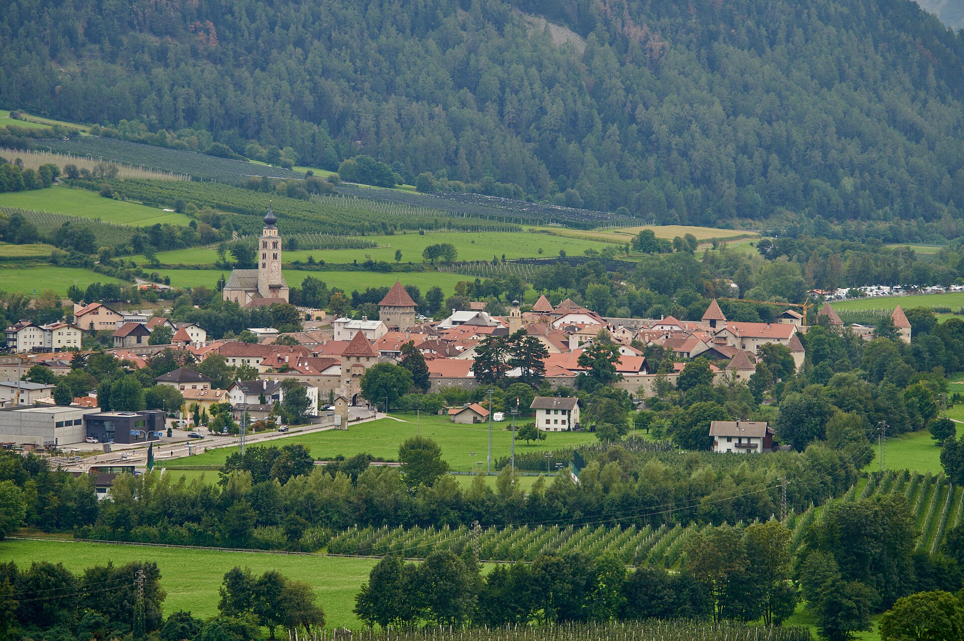
Glorenza/Glurns
The smallest walled town in the Alps, its complete medieval ramparts and gates standing in the upper Val Venosta.
Photo: Tilman2007 · CC BY-SA 4.0 licence
- 4Highlights
- 10Routes
- Featured summit · Piz Chavalatsch - Monte Cavallaccio
Highlights
All 4 from neighbouring places
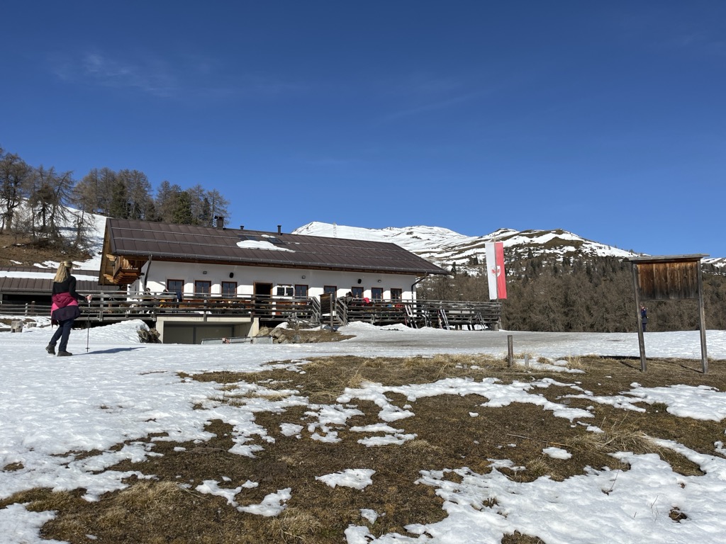
Malga Höfer
6.6 km away, in Malles Venosta/Mals
A farm dairy hut above the Malles basin, on the open slopes of the upper Vinschgau.
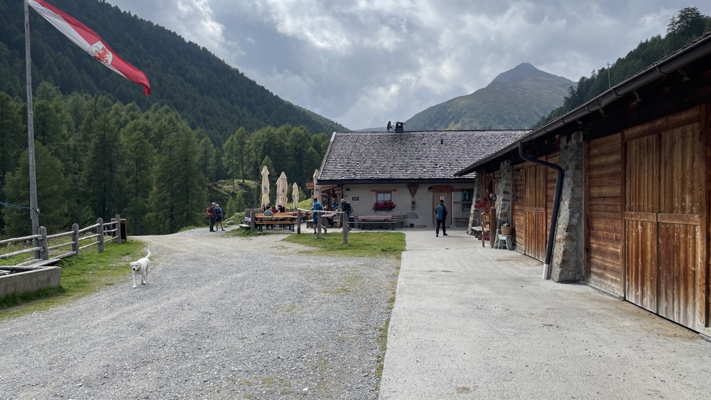
Sterzing, Pfitsch und FreienfeldMalga Brugger
10.6 km away, in Malles Venosta/Mals
A dairy hut on the pastures above Malles Venosta, high on the slopes of the upper Vinschgau.
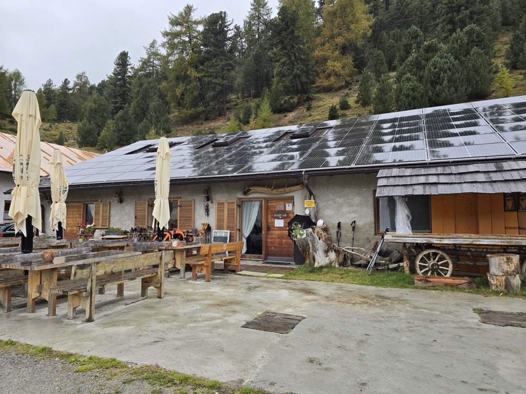
Sterzing, Pfitsch und FreienfeldMalga di Mazia
14.5 km away, in Malles Venosta/Mals
A dairy hut in the Matscher Tal above Mazia, in the comune of Malles Venosta, on the long approach to the Weisskugel and the Ötztal Alps.
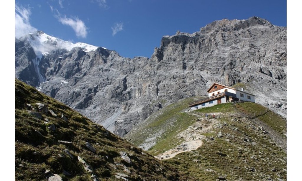
Sterzing, Pfitsch und FreienfeldTabarettahütte/ Rifugio Tabaretta
13.7 km away, in Stelvio/Stilfs
A refuge on the Tabaretta ridge above Solda, on the way up to the Payer hut and the normal route on the Ortler.
Nothing of this kind in Glorenza/Glurns.
Routes
360° Alta Val Venosta: Prato allo Stelvio - Glorenza
The sixth stage of the Alta Venosta circuit, on the Gumperle woodland path and past the ruins of Montechiaro to the walled town of Glorenza.
- 11.8 km
- Distance
- 415 m
- Ascent
- 3 h 46 min
- Duration
Open route Sterzing, Pfitsch und FreienfeldSci alpinismo al Monte Cavalaccio
A ski tour to the 2,763-metre Piz Chavalatsch on the ridge between the Stelvio and the Val Monastero, rising gently to a cross and a former customs post.
- 14.7 km
- Distance
- 1 329 m
- Ascent
- 1 326 m
- Descent
- 5 h 19 min
- Duration
- 8
- Check-ins
 Piz Chavalatsch - Monte Cavallaccio 2 763 m
- Plaschweller 2 534 m
 Rifairscharte 2 455 m
 Tschageinhütte 2 102 m
Open route Sterzing, Pfitsch und FreienfeldIn bicicletta dal fascino medievale all’atmosfera mediterranea – da Glorenza a Egna
A day-long valley ride from Glorenza to Egna, following the Adige past apple orchards and wine cellars into the Bassa Atesina.
- 105.8 km
- Distance
- 20 m
- Ascent
- 9 h 39 min
- Duration
- 75
- Check-ins
- Maso al Lago - Schenk 237 m
 Quellensee 655 m
- Informationsbüro Kastelbell - Tschars - Associazione turistica di Castelbello - Ciardes 584 m
- Nationalpark Stelvio 913 m
- Moser's Speckhäusl 626 m
- Castelfeder - Grill-Imbiss - ristoro 221 m
- +8
Open route Sterzing, Pfitsch und Freienfeld360° Alta Venosta: Glorenza - Tubre in Val Monastero
A stage from Glorenza, the smallest town in the Alps, west to Tubre on the Swiss border in the Val Monastero.
- 11.4 km
- Distance
- 514 m
- Ascent
- 3 h 38 min
- Duration
Open route Sterzing, Pfitsch und FreienfeldLa pista ciclabile dell’Adige: da Marlengo a Malles
The Adige cycle path up the Vinschgau from Marlengo to Mals, past Kastelbell and the Quellensee.
- 63.4 km
- Distance
- 763 m
- Ascent
- 6 h 6 min
- Duration
- 73
- Check-ins
- Rifugio 375 m
- Quellensee 655 m
- Informationsbüro Kastelbell - Tschars - Associazione turistica di Castelbello - Ciardes 584 m
- Moser's Speckhäusl 626 m
- Tourismusverein Marling 363 m
- Bar Seilbahn 633 m
- +4
Open route Sterzing, Pfitsch und FreienfeldCiclabile dell' Adige Via Claudia Augusta - tappa Rablà-Resia
A long stage up the Vinschgau from Rablà to the Resia pass, climbing steadily beside the Adige on the Via Claudia Augusta route.
- 75.7 km
- Distance
- 1 109 m
- Ascent
- 7 h 25 min
- Duration
- 71
- Check-ins
- Roby Keller 1 479 m
- Moser's Speckhäusl 626 m
- Bar Seilbahn 633 m
- Radtreff Fischteich Brugg - Punto d'incontro per ciclisti Laghetto di pesca Brugg 817 m
- Informationsbüro Burgeis 1 228 m
- Zeress 1 454 m
- +8
Open route Sterzing, Pfitsch und FreienfeldBy bike from medieval charm to Mediterranean flair – from Glurns to Neumarkt
A long, almost flat point-to-point down the Etschtal from the walled town of Glurns to Neumarkt, on cycle paths through orchards and vineyards.
- 105.5 km
- Distance
- 0 m
- Ascent
- 9 h 36 min
- Duration
- 70
- Check-ins
- Maso al Lago - Schenk 237 m
- Quellensee 655 m
- Informationsbüro Kastelbell - Tschars - Associazione turistica di Castelbello - Ciardes 584 m
- Nationalpark Stelvio 913 m
- Moser's Speckhäusl 626 m
- Castelfeder - Grill-Imbiss - ristoro 221 m
- +5
Open route Südtirols SüdenCiclabile dell' Adige Via Claudia Augusta
A long stretch of the cycle route that follows the old Roman road along the Adige, running down the valley past Algund and Merano.
- 79.1 km
- Distance
- 1 295 m
- Ascent
- 7 h 49 min
- Duration
- 68
- Check-ins
- Roby Keller 1 479 m
- Moser's Speckhäusl 626 m
- Tourismusbüro Algund 351 m
- Bar Seilbahn 633 m
- Radtreff Fischteich Brugg - Punto d'incontro per ciclisti Laghetto di pesca Brugg 817 m
- Informationsbüro Burgeis 1 228 m
- +9
Open route Sterzing, Pfitsch und FreienfeldLa pista ciclabile dell’Adige: da Malles a Marlengo
A long, mostly downhill run through the Vinschgau beside the young Etsch, passing Latsch and the anglers' cyclist stop at Brugg on the way to Meran.
- 60.9 km
- Distance
- 53 m
- Ascent
- 5 h 40 min
- Duration
- 51
- Check-ins
- Rifugio 375 m
- Moser's Speckhäusl 626 m
- Bar Seilbahn 633 m
- Radtreff Fischteich Brugg - Punto d'incontro per ciclisti Laghetto di pesca Brugg 817 m
- Laterne 516 m
- Tourismusverein Latsch-Martell - Associazione Turistica Laces-Martello 641 m
- +4
Open route Sterzing, Pfitsch und FreienfeldGiro dei 5 paesi del Alta Val Venosta
An easy valley-floor loop through the villages of the upper Val Venosta, linking Prato allo Stelvio with the medieval town of Glurns.
- 17.9 km
- Distance
- 84 m
- Ascent
- 1 h 40 min
- Duration
- 3
- Check-ins
Open route Sterzing, Pfitsch und Freienfeld
No routes of this kind in Glorenza/Glurns yet.
The region's own picks

Featured route
360° Alta Val Venosta: Prato allo Stelvio - Glorenza
The sixth stage of the Alta Venosta circuit, on the Gumperle woodland path and past the ruins of Montechiaro to the walled town of Glorenza.
Planning a trip to Glorenza/Glurns?
Everything else Trentino-Alto Adige/Südtirol has, in one place


Take Glorenza/Glurns with you into the mountains
Every route on this page with 3D terrain, GPX navigation and offline maps — including the valleys with no signal.
Data sources
- Official website: valvenosta.it ↗
- Routes and highlights: Sterzing, Pfitsch und Freienfeld, YesAlps, Südtirols Süden
- Published as open data by the tourist boards named above.
- Region summary generated from the board's own material.
