
Curated by Krems
Furth bei Göttweig
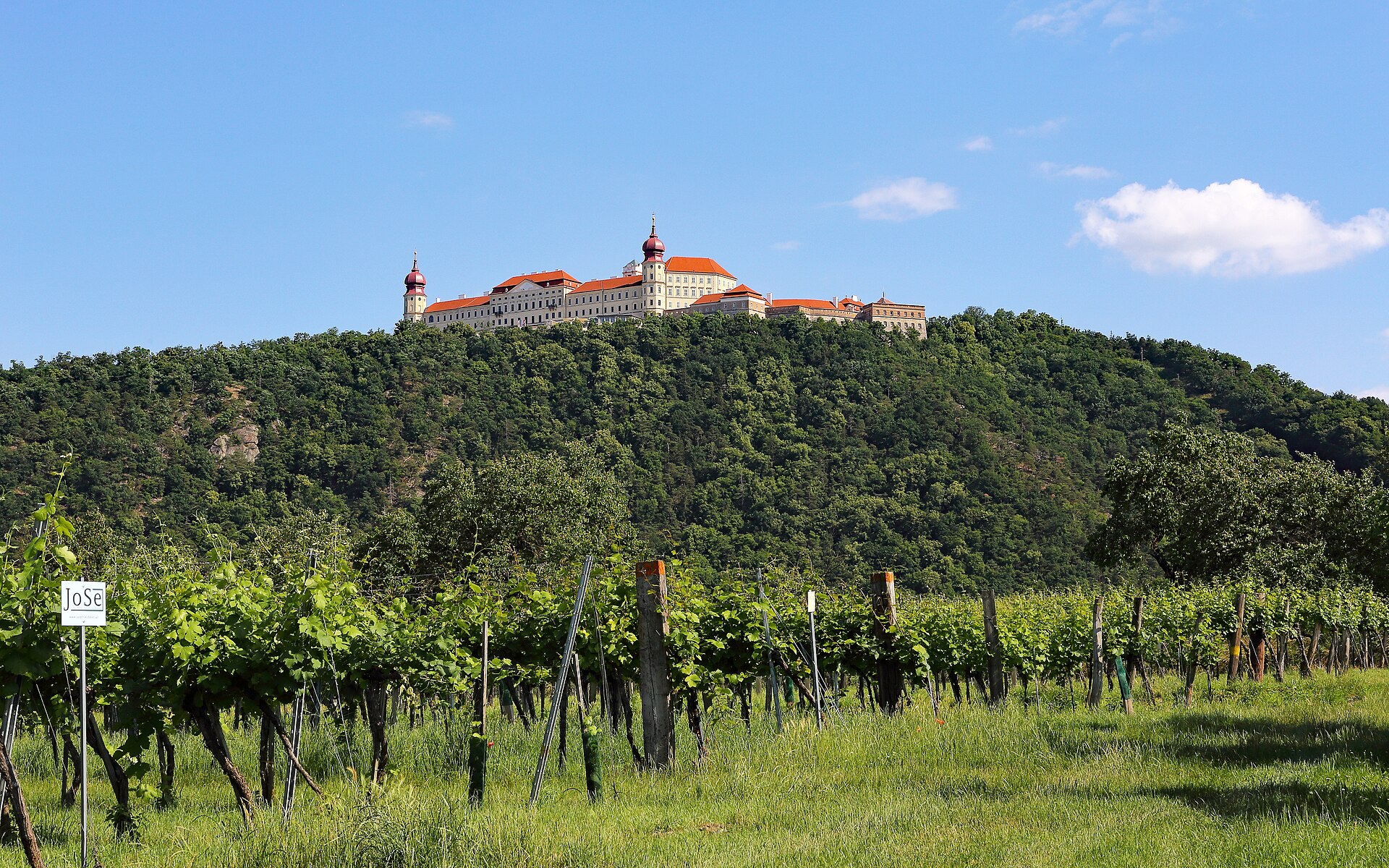
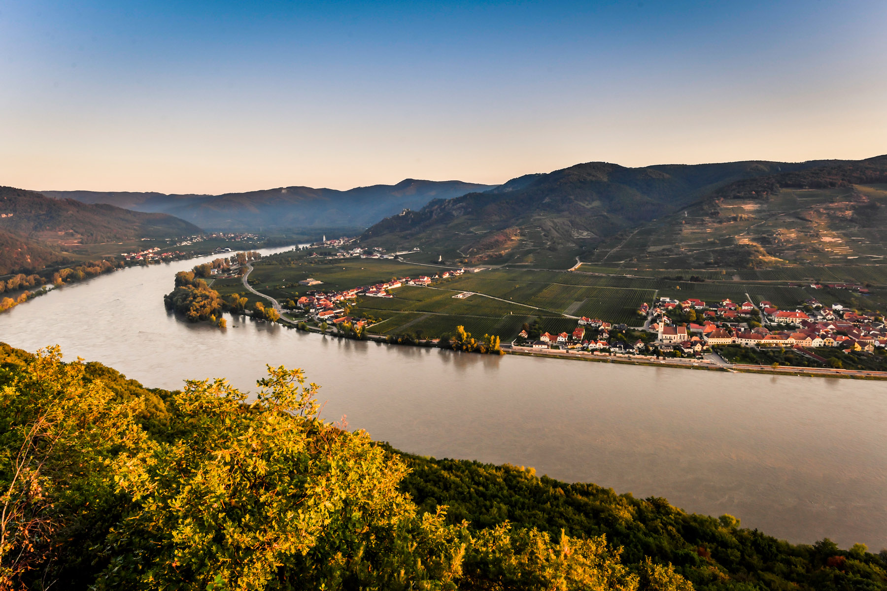
Villages at the foot of Göttweig abbey on the south bank of the Danube near Krems, where the Wachau opens out along the edge of the Dunkelsteinerwald.
Photo: Duke of W4 · CC BY-SA 4.0 licence
- 15Highlights
- 10Routes
- Featured summit · Hals
Highlights
All 15 from neighbouring places
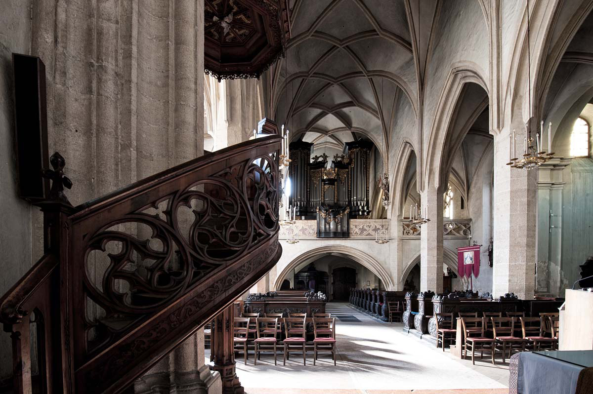
Pfarrkirche Stein
2.8 km away, in Krems an der Donau
The Gothic parish church of St. Nikolaus in Stein on the Danube, remodelled in the Baroque period and holding altar paintings by Kremser Schmidt.
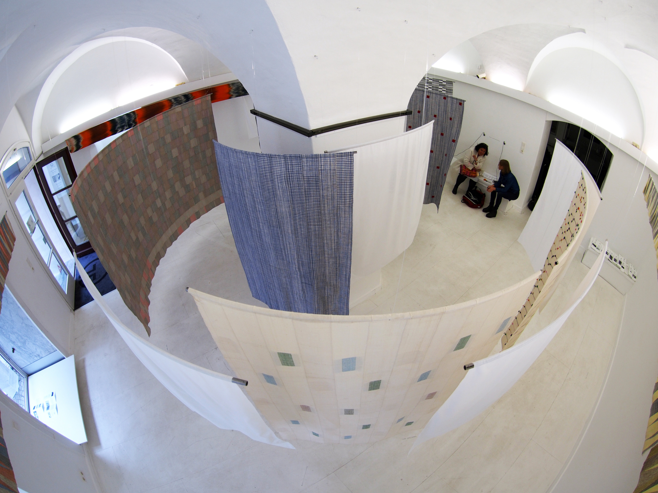
Galerie Göttlicher
2.9 km away, in Krems an der Donau
An art gallery in Krems-Stein on the Danube, with exhibitions of contemporary Austrian painting and sculpture.
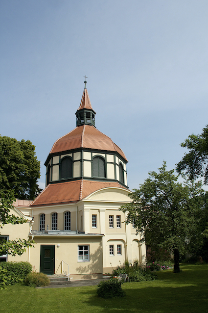
Evangelische Heilandskirche Krems
2.9 km away, in Krems an der Donau
The Protestant church of Krems an der Donau, serving the Lutheran parish of the town and the surrounding Wachau.
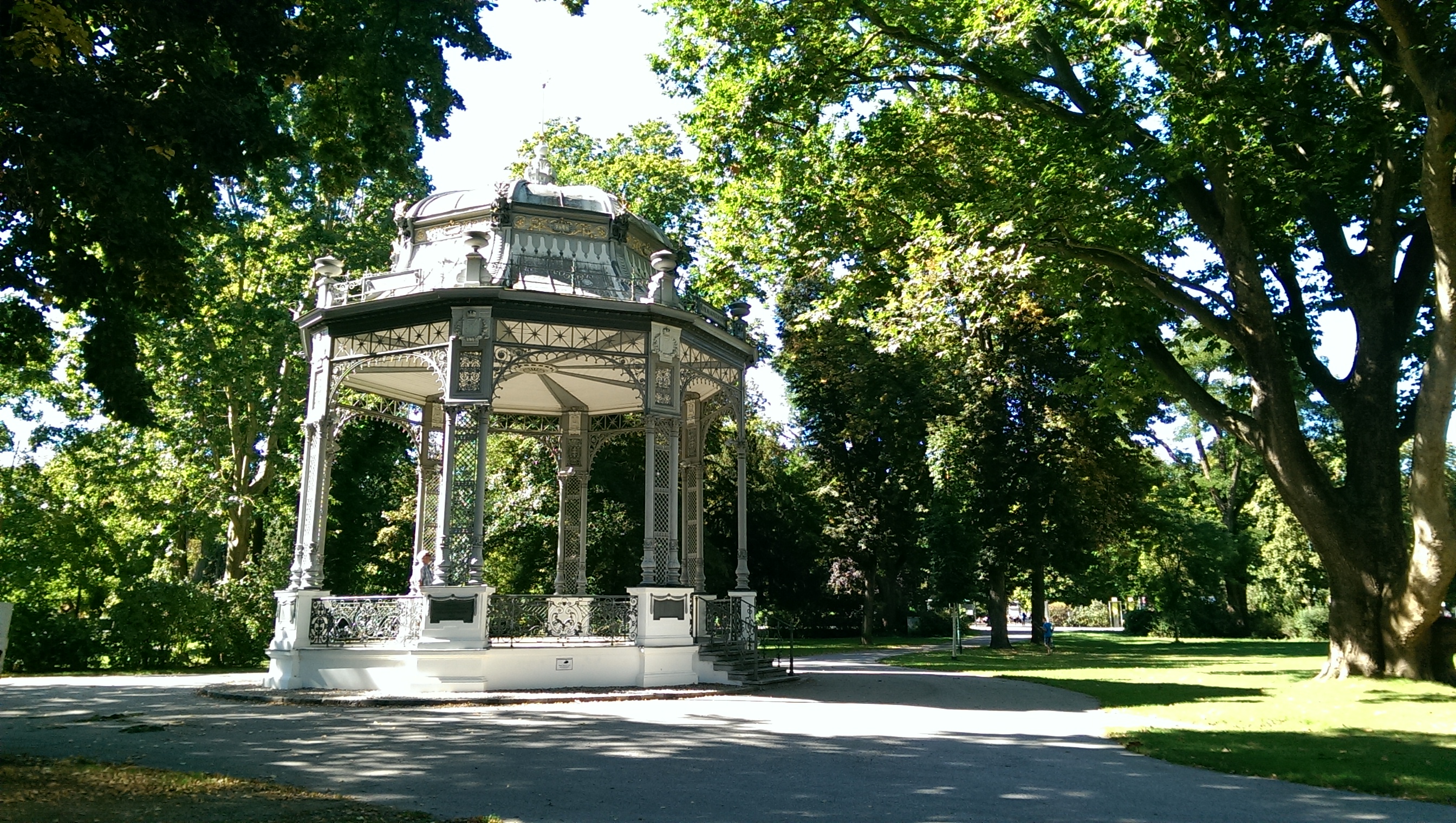
Musikpavillon im Stadtpark Krems
3 km away, in Krems an der Donau
A bandstand in the town park of Krems an der Donau, used for open-air concerts in summer.
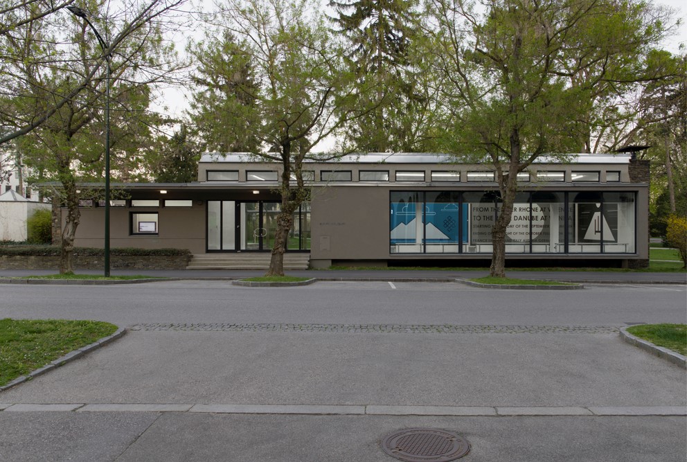
Galerie Stadtpark
3.2 km away, in Krems an der Donau
An artist-run exhibition space by the town park in Krems an der Donau, showing contemporary art and photography.
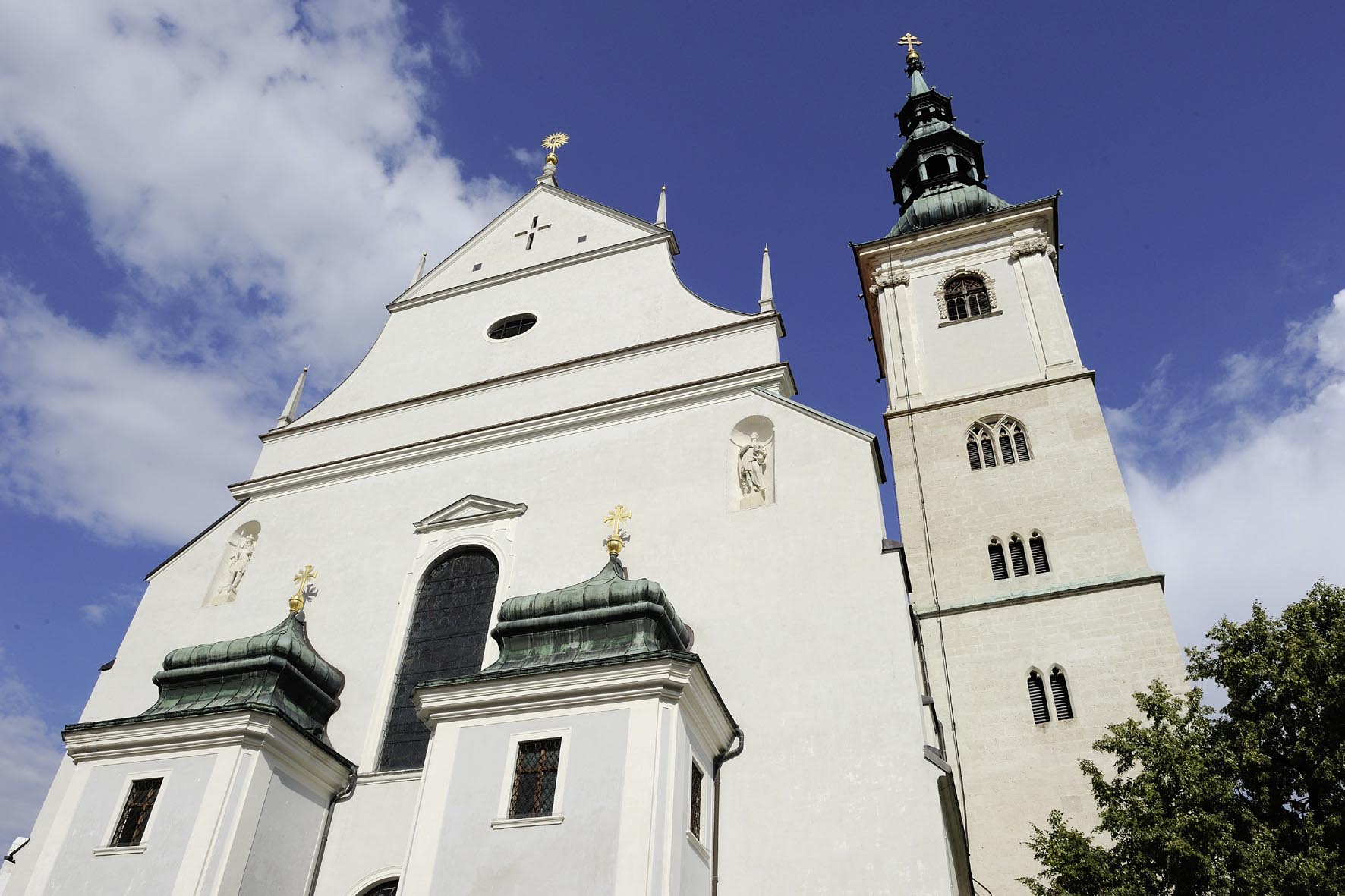
Dom der Wachau
3.5 km away, in Krems an der Donau
The Baroque parish church of St. Veit in Krems, known as the cathedral of the Wachau, with ceiling frescoes by Kremser Schmidt.
Donauwarte Krems-Egelsee
4.1 km away, in Krems an der Donau
A lookout tower above Egelsee near Krems, with views over the Danube valley and the eastern Wachau.
Winzer Krems Sandgrube 13 Wein.Sinn
4.7 km away, in Krems an der Donau
A wine experience centre at the Winzer Krems cooperative, where a tour through the cellars at Sandgrube 13 ends with a tasting.
Pfarrkirche St. Severin
4.7 km away, in Krems an der Donau
A parish church dedicated to St. Severin on the eastern edge of Krems an der Donau, serving one of the town's outer districts.
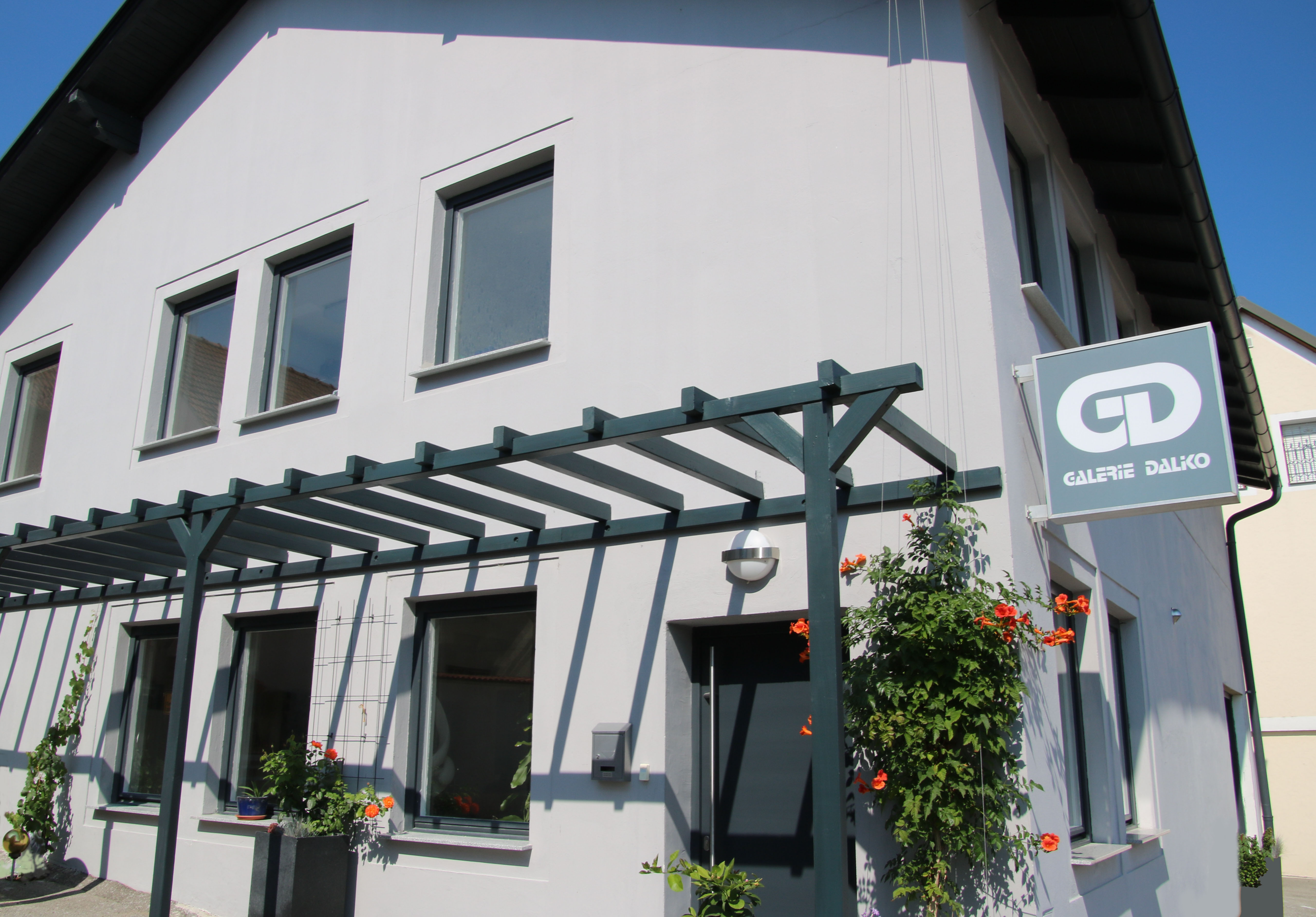
Galerie Daliko
5 km away, in Krems an der Donau
A small private gallery on the edge of Krems an der Donau, with changing exhibitions of paintings.
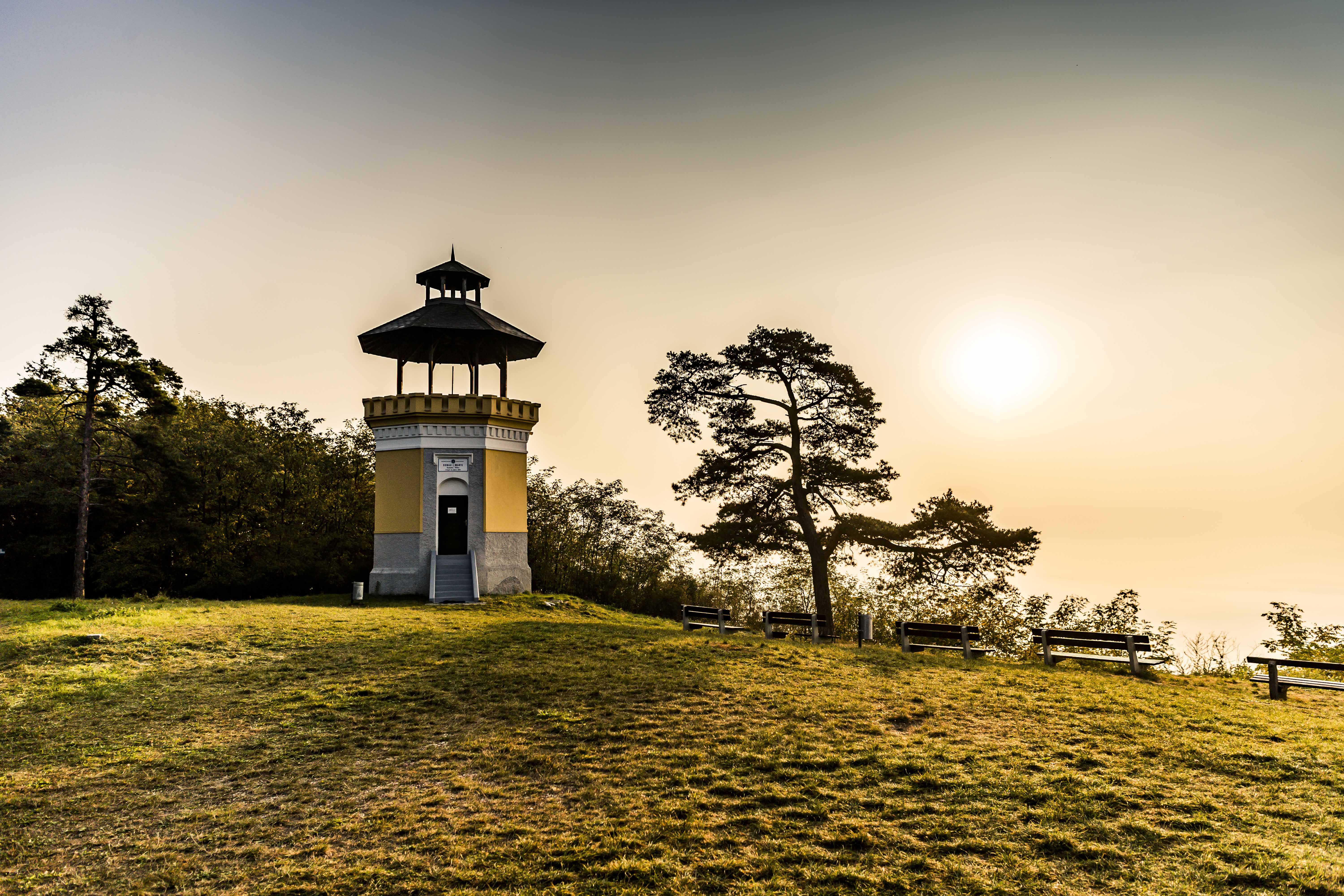
Ferdinand-Warte
4.3 km away, in Bergern im Dunkelsteinerwald
A lookout tower in the Dunkelsteinerwald at Bergern, giving views over the Danube valley and the hills around the Wachau.
Ferdinand-Warte viewpoint
4.3 km away, in Bergern im Dunkelsteinerwald
A viewing tower on a wooded height at Bergern im Dunkelsteinerwald, looking out across the Danube towards the Wachau.
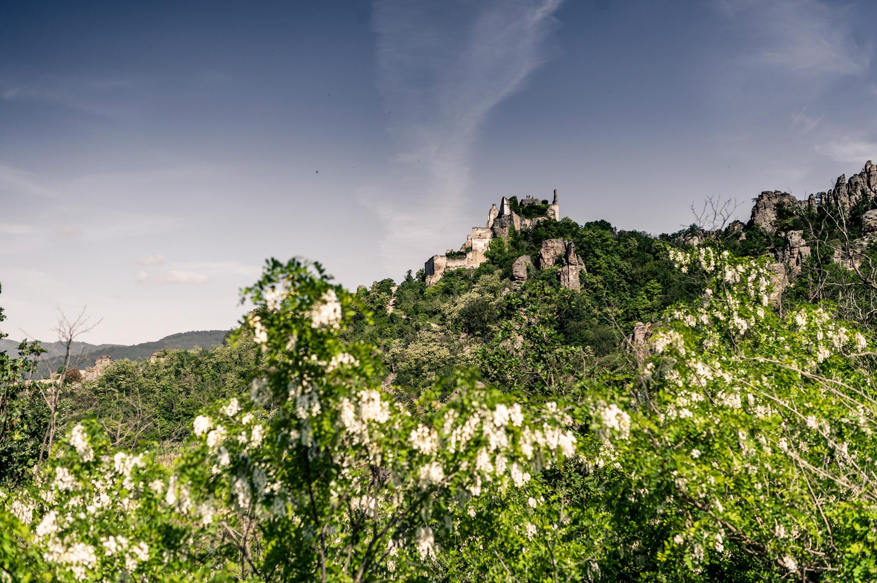
Ruine Dürnstein
6.2 km away, in Dürnstein
The castle ruin on the crag above Dürnstein, where Richard the Lionheart was held prisoner in 1192 and 1193.
Abbey Church of Dürnstein
6.3 km away, in Dürnstein
The Baroque church of the former Augustinian abbey at Dürnstein, whose blue and white tower is a landmark of the Wachau.
Stift Dürnstein
6.3 km away, in Dürnstein
The former Augustinian canons' abbey at Dürnstein, with a Baroque church and a terrace looking out over the Danube.
 Viewpoint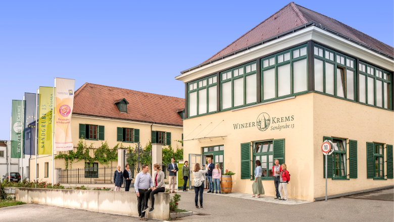
 Historic site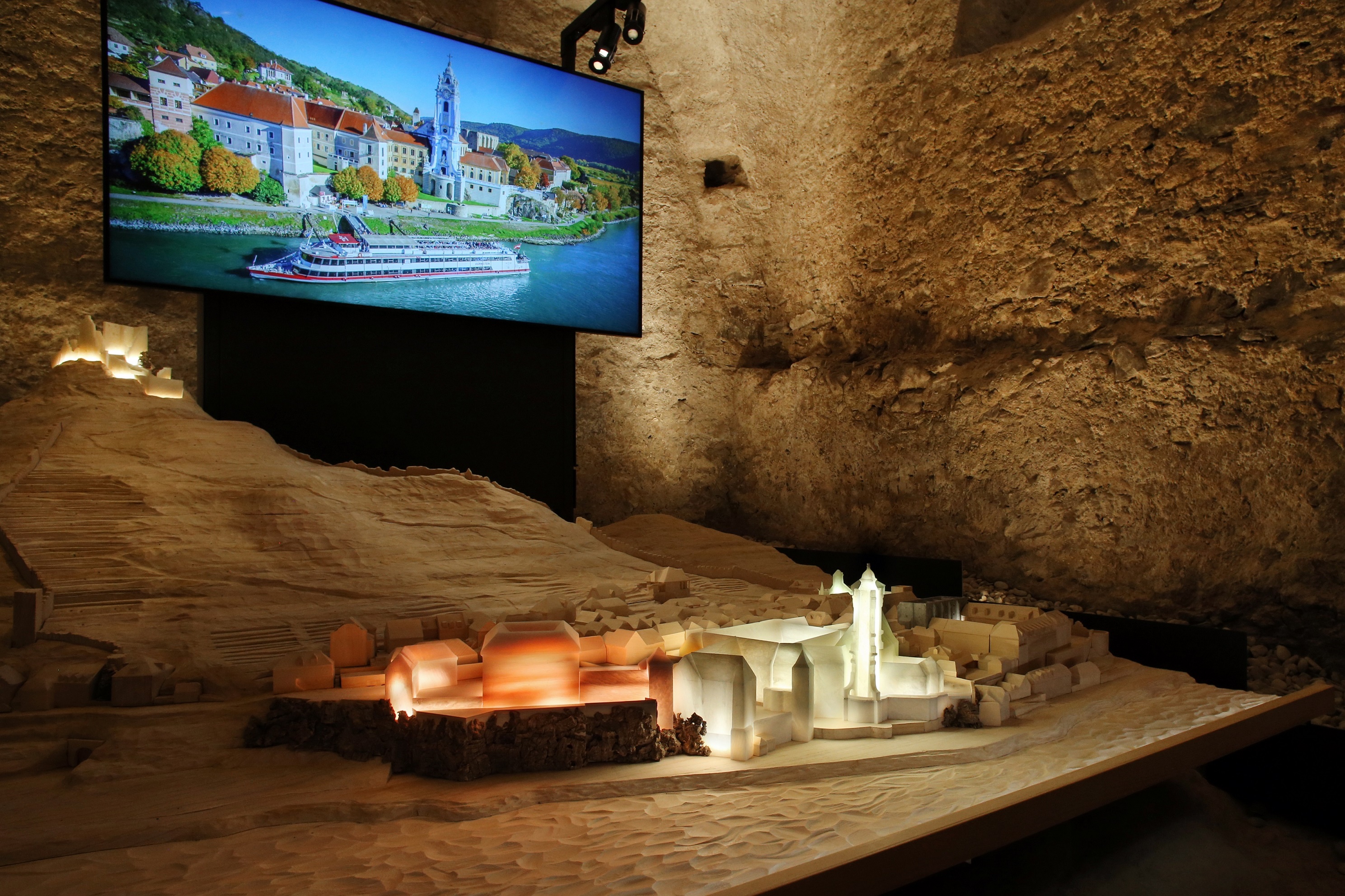
Nothing of this kind in Furth bei Göttweig.
Routes
Weitwanderweg Kremstal-Donau 02: Mautern
An easy 4.5 km leg with 63 m of ascent, leaving the Roman town of Mautern an der Donau for the valley floor upstream.
- 4.5 km
- Distance
- 63 m
- Ascent
- 1 h 13 min
- Duration
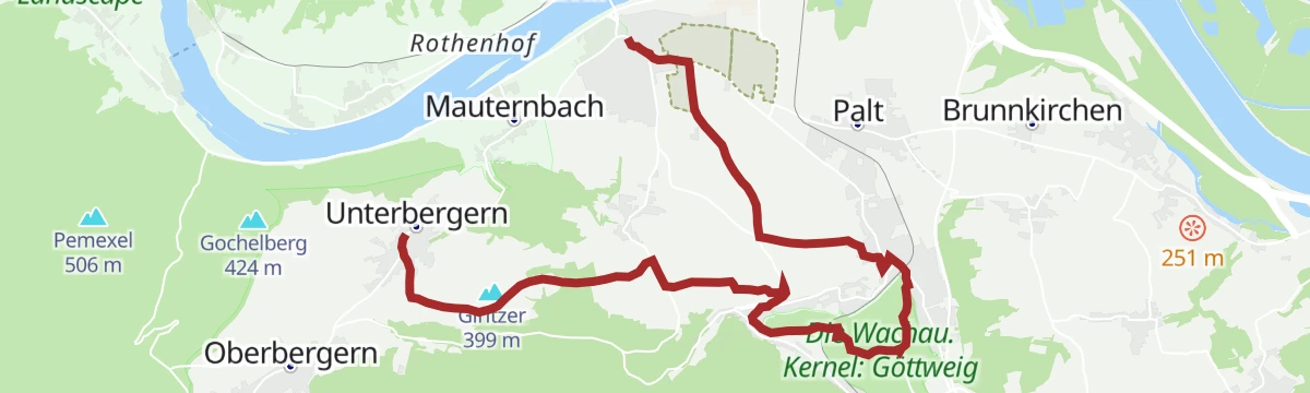
Welterbesteig Wachau 13: Unterbergern-Mautern
A 13 km stage with 323 m of ascent, running over the Hals from Unterbergern down to Mautern an der Donau at the eastern end of the Wachau.
- 13.0 km
- Distance
- 323 m
- Ascent
- 3 h 51 min
- Duration
- 1
- Check-ins
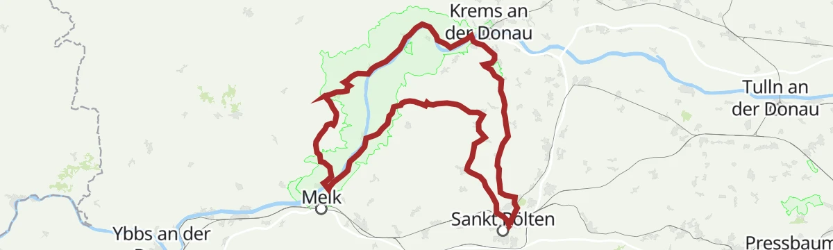
Dunkelsteinerwald „still
A ride into the Dunkelsteinerwald with hard climbs and wide views, by Göttweig and the Danube path.
- 74.8 km
- Distance
- 831 m
- Ascent
- 7 h 25 min
- Duration
- 1
- Check-ins
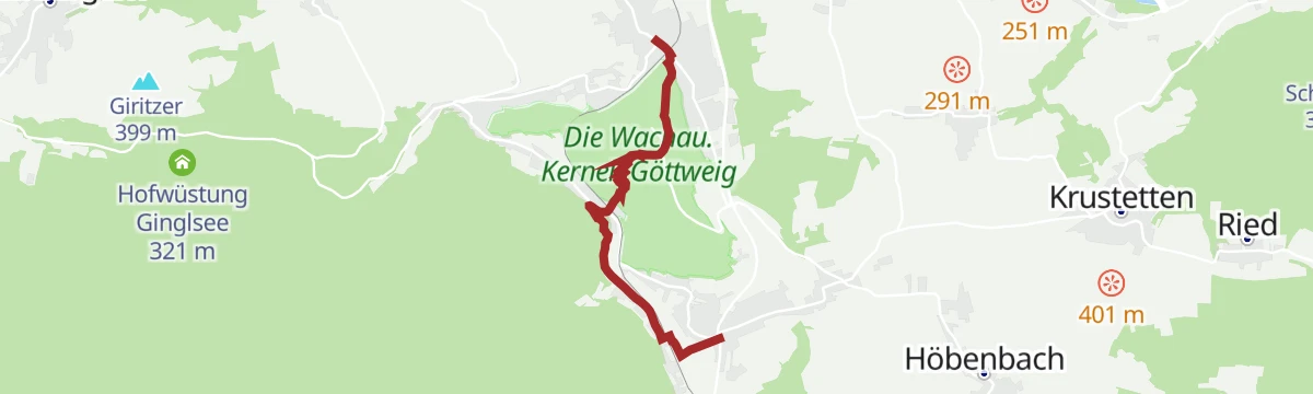
Weitwanderweg Kremstal-Donau 03: Furth
Section 03 of the Kremstal-Donau route, a short 230 m climb from Furth up toward the Benedictine abbey of Göttweig.
- 4.3 km
- Distance
- 231 m
- Ascent
- 1 h 39 min
- Duration
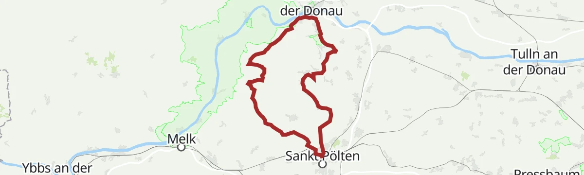
stp Route #5 UNESCO Weltkulturerbe Wachau
A long road route from St. Pölten through the Wachau world heritage landscape, 118 km with 1,710 m of climbing.
- 116.4 km
- Distance
- 523 m
- Ascent
- 10 h 49 min
- Duration
- 1
- Check-ins
 Bischofsteich 269 m
 Naturparkbüro Jauerling-Wachau 590 m
- S-Bar 854 m
- Tourismusverein Römerstadt Mautern 204 m
Donauradweg Etappe 6 Südufer: Mautern
The south-bank stage down the Danube from the old Roman town of Mautern to Klosterneuburg, past the Geschirrwasser backwater and Kritzendorf.
- 68.6 km
- Distance
- 39 m
- Ascent
- 6 h 7 min
- Duration
- Geschirrwasser 165 m
- Tourismusverein Römerstadt Mautern 204 m
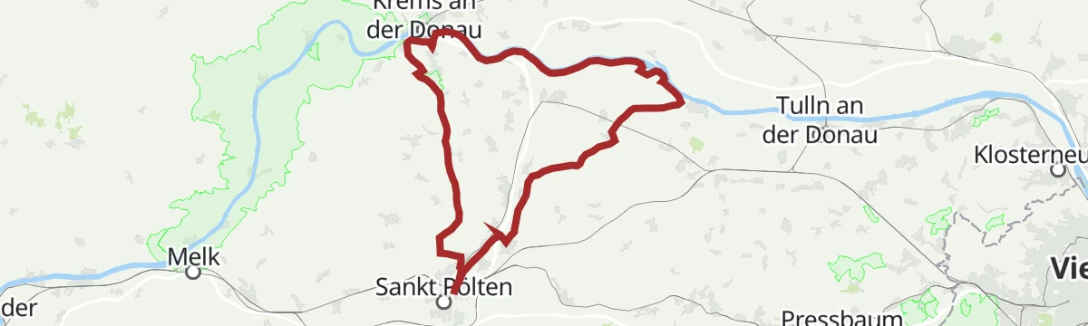
Fladnitztal-Radroute (Variante über Karlstetten)
Thirty-six kilometres between the Danube path at Palt, near Furth bei Göttweig, and the Traisental route, running through Karlstetten.
- 36.3 km
- Distance
- 310 m
- Ascent
- 3 h 31 min
- Duration
Fladnitztal-Radroute (Variante über Statzendorf)
A level 26 km from Furth bei Göttweig to St. Pölten through Statzendorf, linking the Danube path with the Traisental.
- 25.9 km
- Distance
- 100 m
- Ascent
- 2 h 23 min
- Duration
stp Route #11 Tullner Donauraum
A road route through the Tulln Danube basin, 88 km with barely 350 m of climbing.
- 87.4 km
- Distance
- 213 m
- Ascent
- 7 h 57 min
- Duration
stp Route #9 Challenge Triathlon St. Pölten
The Challenge triathlon bike course from St. Pölten, 94 km through the Danube country by Mautern.
- 93.4 km
- Distance
- 678 m
- Ascent
- 8 h 55 min
- Duration






No routes of this kind in Furth bei Göttweig yet.
The region's own picks

Featured route
Weitwanderweg Kremstal-Donau 02: Mautern
An easy 4.5 km leg with 63 m of ascent, leaving the Roman town of Mautern an der Donau for the valley floor upstream.
Planning a trip to Furth bei Göttweig?
Everything else Lower Austria has, in one place


Take Furth bei Göttweig with you into the mountains
Every route on this page with 3D terrain, GPX navigation and offline maps — including the valleys with no signal.
Data sources
- Official website: krems.info ↗
- Routes and highlights: Krems, Stpoeltentourismus, Mostviertel
- Published as open data by the tourist boards named above.
- Region summary generated from the board's own material.
