
 Mountain hut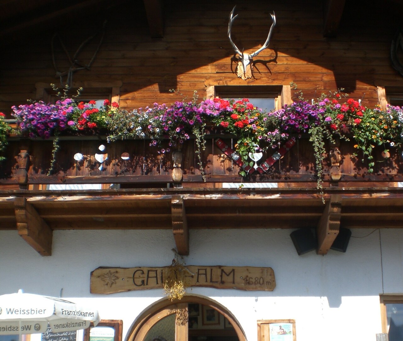


 Historic site








Curated by Tourismusverband Stubai Tirol
Fulpmes
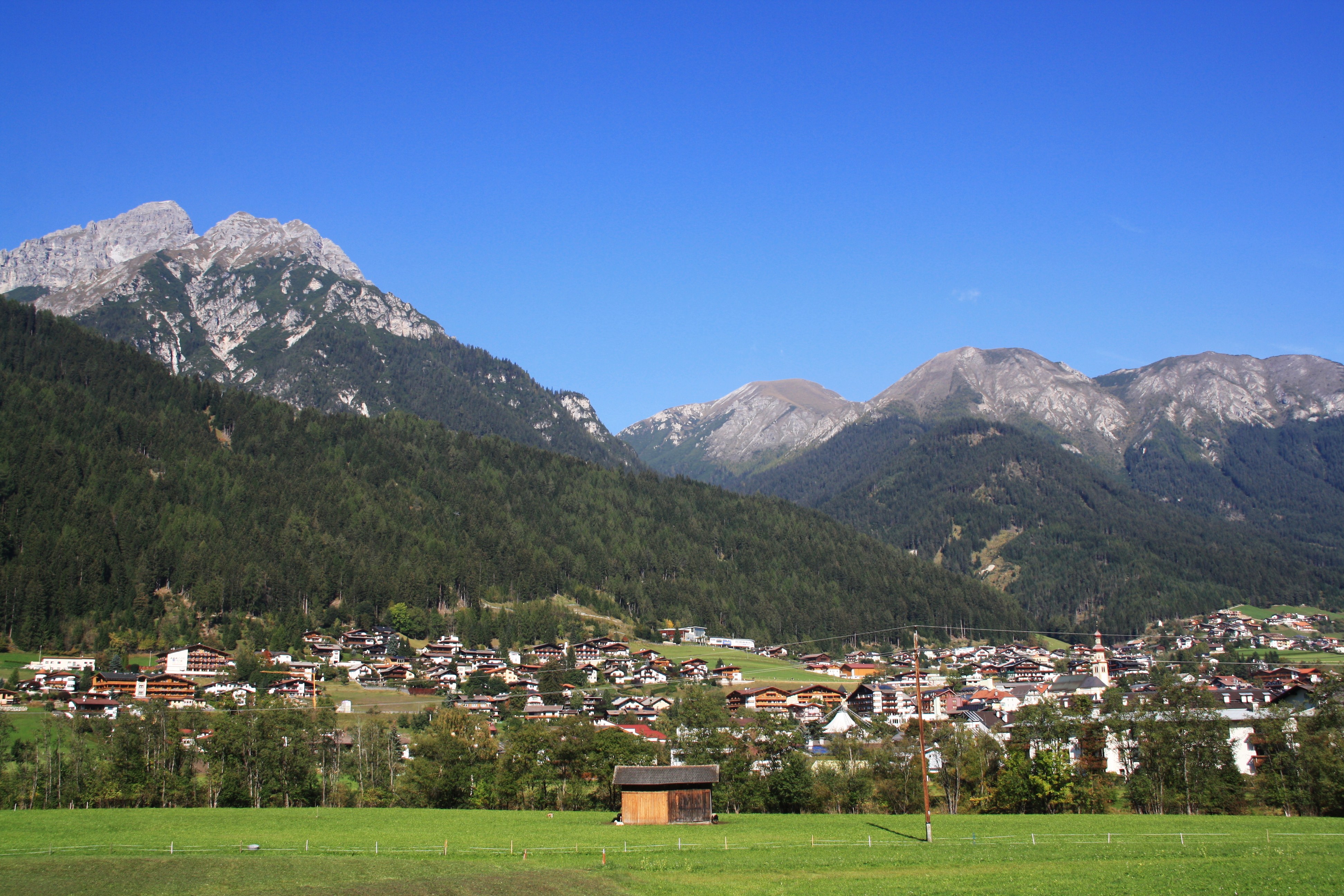
The Stubaital's old iron-forging town at about 930 m, now the base for the Schlick 2000 lifts under the jagged Kalkkögel.
- 3Highlights
- 23Routes
- Featured summit · Hoher Burgstall
Highlights
12 from neighbouring places
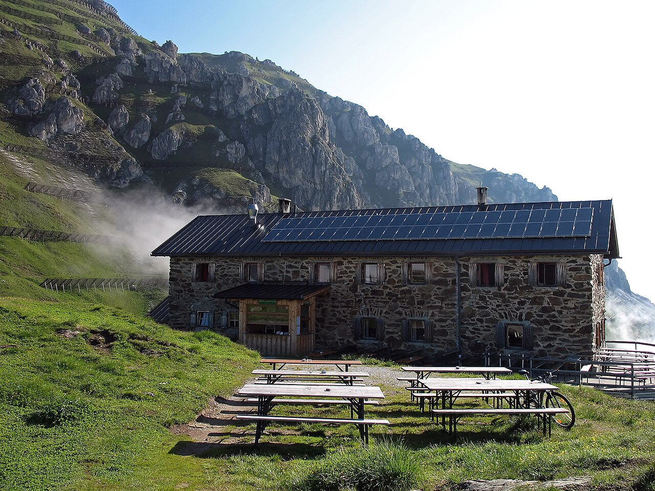
Starkenburger Hütte
An Alpine Club hut at 2,237 m on the sunny side of the Stubaital, the customary first stage of the Stubai High Trail, reached from Fulpmes or Neustift.
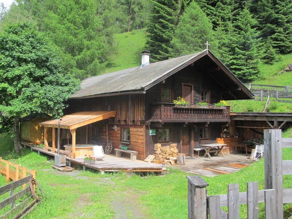
Galtalm
A pasture hut on the slopes above Fulpmes in the Stubaital, a walkers' stop serving hut fare within easy reach of the village.
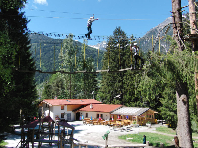
Adventurepark Fulpmes mit Hochseilgarten
A high-ropes adventure park at Fulpmes with courses of ladders, bridges and zip lines at varying heights among the trees.
Kampler Seestube 1.000m
1.6 km away, in Neustift im Stubaital
A restaurant at about 1,000 m on the shore of the Kampler See near Neustift, serving bathers and cyclists on the valley route.
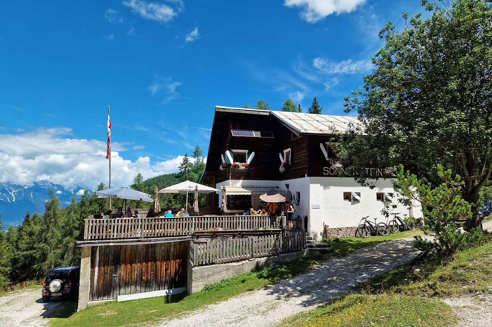
Alpengasthof Sonnenstein 1.400m
2.7 km away, in Mieders
A mountain inn at about 1,400 m above Mieders, sitting on a sunny terrace of the lower Stubaital.
Alpine Ventures
3.3 km away, in Telfes im Stubai
A guiding outfit based in Fulpmes offering sport-climbing instruction and guided routes on the Stubai valley's crags.
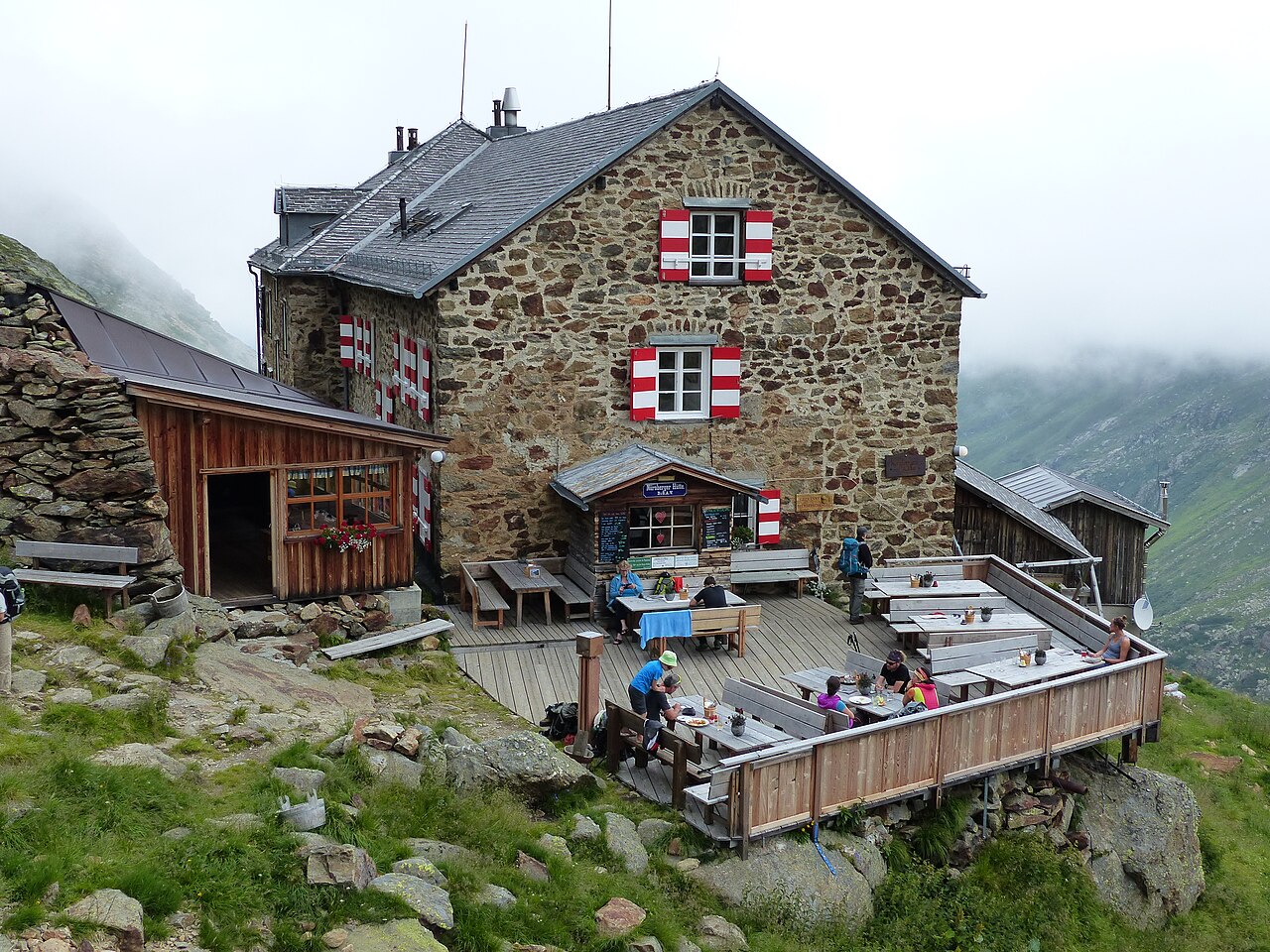
Nürnberger Hütte
3.9 km away, in Neustift im Stubaital
An Alpine Club hut at about 2,280 m in the Langental at the rear of the Stubaital, a Stubai High Trail stage and a base for the Wilder Freiger.
Schlickeralm 1.643m
4 km away, in Telfes im Stubai
A working pasture hut at 1,643 m in the Schlick 2000 walking area, serving its own dairy produce below the Kalkkögel.
Stubaier Bergführer GesbR
4.2 km away, in Mieders
The Stubai mountain guides' association in Fulpmes, arranging guided climbing, via ferrata and high-alpine tours across the valley.
Ochsenhütte Mieders 1.582m
4.4 km away, in Mieders
A hut at 1,582 m above Mieders in the lower Stubaital, a refreshment stop on walks in the Serles area.
Gullenhütte
4.4 km away, in Mieders
A small hut on a farm above Mieders in the lower Stubaital, offering simple refreshment and farm-holiday lodging.
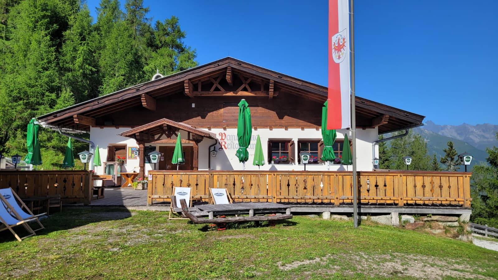
Panoramarestaurant Elfer 1.812m
4.4 km away, in Neustift im Stubaital
A panorama restaurant at 1,812 m by the Elfer lifts' top station above Neustift, with terrace views along the Stubaital.
Natur Resort Waldrast
4.5 km away, in Mühlbachl
A mountain inn beside the Maria Waldrast monastery below the Serles, reachable on foot or by toll road from Mühlbachl.
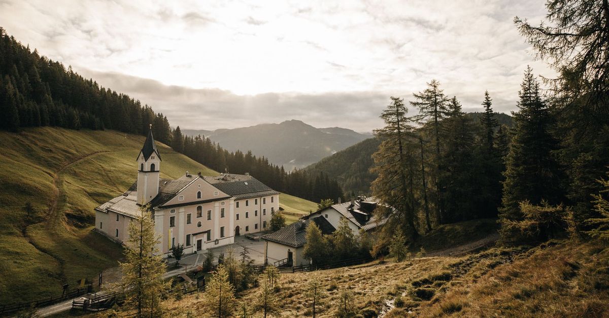
Maria Waldrast 1.640m
4.5 km away, in Mühlbachl
A Servite monastery and pilgrimage church at about 1,640 m below the Serles, with an inn and a spring long credited with healing powers.
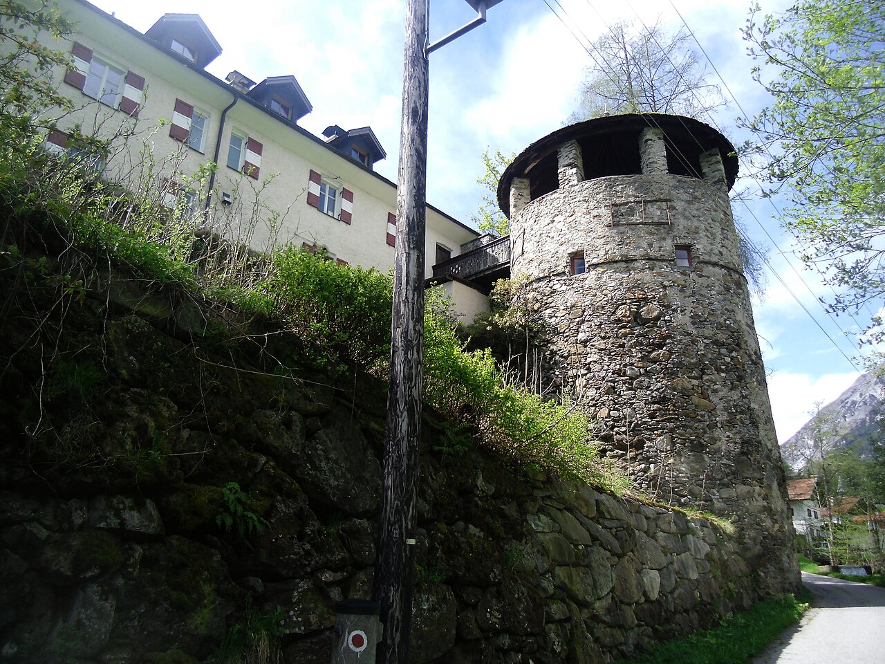
Schloss Schneeberg
7.9 km away, in Trins
A historic castle in the Wipptal, the Tirolean valley running south from Innsbruck towards the Brenner Pass, counted among the area's sights.
Nothing of this kind in Fulpmes.
Routes
Panoramaweg & Aussichtsplattform "StubaiBlick"
A very short stroll from the Kreuzjoch top station to a viewing platform above the Schlick, a quick detour for the panorama over the whole Stubaital.
- 564 m
- Distance
- 28 m
- Ascent
- 12 min
- Duration
- 43
- Check-ins
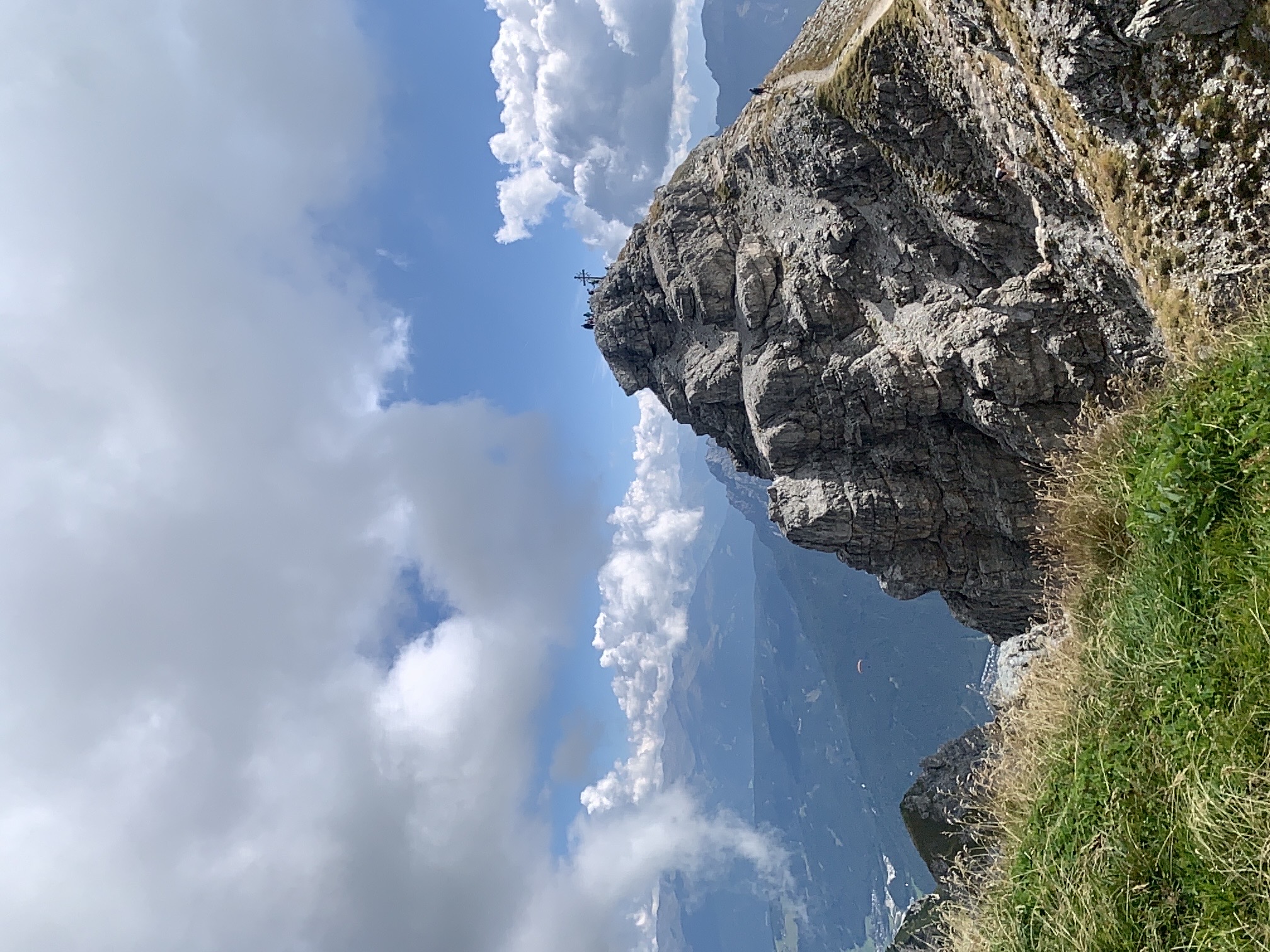
Kreuzjoch - Niederer Burgstall - Hoher Burgstall
A ridge-line ascent from the Schlick 2000 top station over two Burgstall summits, with the jagged Kalkkögel close at hand and the Sennjochhütte on the return.
- 8.1 km
- Distance
- 734 m
- Ascent
- 4 h 36 min
- Duration
- 89
- Check-ins
Schlicker See - Zwischen zwei Welten
From the Sennjoch beneath the Kalkkögel to the Schlicker See and over the Seejöchl, a long day moving between bare limestone crags and the green alm slopes of the Schlick.
- 15.5 km
- Distance
- 833 m
- Ascent
- 5 h 58 min
- Duration
- 98
- Check-ins
514 Vergör
A short, direct climb from the Kreuzjochbahn base at Fulpmes up to the Gasthof at 1,286 m, under 300 m of ascent in 2.5 km.
- 2.4 km
- Distance
- 295 m
- Ascent
- 40 min
- Duration
- 2
- Check-ins
585 Almenrunde Schlick
A hut-to-hut loop in the Schlick basin above Telfes, linking the Fronebenalm, Galtalm and Schlicker Alm past the Panoramasee reservoir.
- 12.7 km
- Distance
- 730 m
- Ascent
- 1 h 57 min
- Duration
- 52
- Check-ins
562 Kreuzjoch
Over 1,100 m of climbing in under 9 km, up past the Fronebenalm and the Schlicker Alm to the pass at 2,105 m and its panorama restaurant.
- 8.7 km
- Distance
- 1 121 m
- Ascent
- 2 h 30 min
- Duration
- 68
- Check-ins
Stubai Radroute 19: Schönberg - Falbeson (Doadler Alm)
A valley cycle route running up the Stubaital from Schönberg past the Kampler See and the campsite at Neustift towards Falbeson.
- 24.0 km
- Distance
- 534 m
- Ascent
- 2 h 38 min
- Duration
- 46
- Check-ins
Stubai Baumhausweg
A family path through the forest above Fulpmes where wooden treehouses and play stations follow one another between the Fronebenalm and the Brugger Alm area.
- 6.3 km
- Distance
- 130 m
- Ascent
- 1 h 47 min
- Duration
- 20
- Check-ins
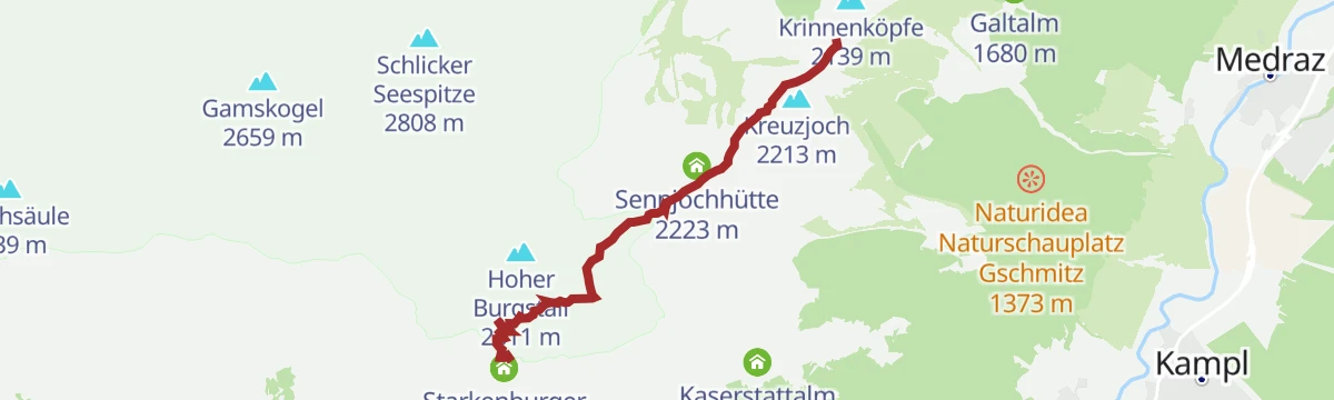
Bergstation Schlick 2000 - Starkenburger Hütte
A panorama traverse from the Kreuzjoch top station over the Sennjoch to the Starkenburger Hütte, contouring high above Fulpmes beneath the Kalkkögel.
- 4.1 km
- Distance
- 370 m
- Ascent
- 2 h 19 min
- Duration
- 73
- Check-ins
Maria Waldrast - Kesselspitze
A long climb from Maria Waldrast over the Kalbenjoch onto the Kesselspitze, a quieter 2,700 m summit above the Serlesseen with wide views into the Wipptal.
- 14.3 km
- Distance
- 1 371 m
- Ascent
- 8 h 30 min
- Duration
- 29
- Check-ins
560 Sonnensteinrunde
A shorter loop on the slopes above Mieders, reaching the inn at 1,400 m and returning past the Jagerhäusl near Matrei am Brenner.
- 11.4 km
- Distance
- 501 m
- Ascent
- 1 h 29 min
- Duration
- 14
- Check-ins
Stubai E-Bike Sightseeing Tour Variante 1
A valley round starting near the Europabrücke, running up the Stubaital past the Kampler See and back down the far side.
- 35.3 km
- Distance
- 926 m
- Ascent
- 4 h
- Duration
- 52
- Check-ins
Stubai Radroute 19: Stefansbrücke - Falbeson (Doadler Alm)
A longer start to the Stubai valley cycle route, beginning at the Stefansbrücke in the Wipptal and climbing steadily past the Kampler See.
- 26.8 km
- Distance
- 914 m
- Ascent
- 3 h 14 min
- Duration
- 37
- Check-ins
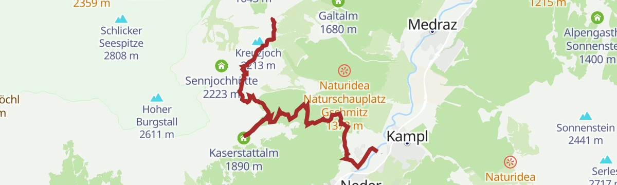
Kreuzjoch - Knappenhütte - Kaserstattalm - Pfurtschell - Kampl
A long, gentle descent from the Kreuzjoch through alm country past the Knappenhütte and the Kaserstattalm, dropping via Pfurtschell to Kampl on the valley floor.
- 8.1 km
- Distance
- 193 m
- Ascent
- 2 h 22 min
- Duration
- 52
- Check-ins
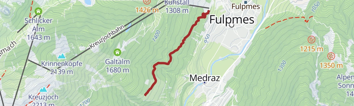
5006 Starkenburger Hütte
A relentless forest-road climb from Fulpmes past the Fronebenalm and the Galtalm to the hut at 2,237 m above the Stubai valley.
- 11.1 km
- Distance
- 1 256 m
- Ascent
- 2 h 52 min
- Duration
- 45
- Check-ins
Schlicker Almenrunde
An alm-to-alm loop in the Schlick above Fulpmes, connecting the Schlicker Alm, Galtalm and Brugger Alm with a pause at the small Panoramasee.
- 8.4 km
- Distance
- 478 m
- Ascent
- 3 h 22 min
- Duration
- 44
- Check-ins
Stubai E-Bike Sightseeing Tour Short Variante 2
A long ride through the Stubaital on valley tracks and forest roads, passing the Kampler See and the foot of the Kreuzjochbahn.
- 35.3 km
- Distance
- 906 m
- Ascent
- 3 h 59 min
- Duration
- 29
- Check-ins
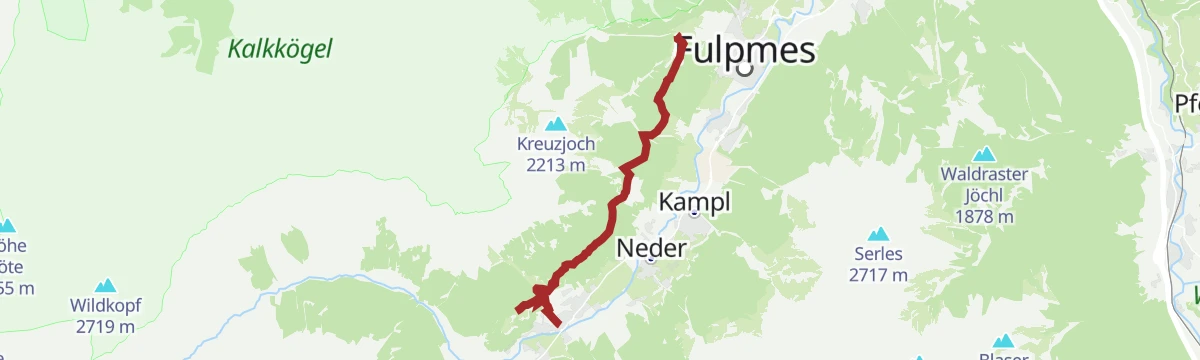
Maria Waldrast: Talersteig über Serles bis zur Maria Waldrast
Steep pilgrim's climb from Medraz on the Talersteig to the monastery of Maria Waldrast beneath the Serles, gaining almost 800 m through forest.
- 5.6 km
- Distance
- 767 m
- Ascent
- 4 h 29 min
- Duration
- 15
- Check-ins
561 Wildeben
A steady forest-road climb of over 900 m from the Serlesbahn valley station up to the pastures of Wildeben at 1,780 m.
- 8.3 km
- Distance
- 926 m
- Ascent
- 2 h 7 min
- Duration
- 16
- Check-ins
Sunnenseitn Weg: Mittelstation Schlick 2000/Froneben - Kartnall - Neustift
A traverse along the sunny flank of the Stubai valley from the Kreuzjochbahn mid station, passing the Brugger Alm, Pfurtschell and a viewpoint.
- 9.0 km
- Distance
- 373 m
- Ascent
- 3 h 2 min
- Duration
- 15
- Check-ins
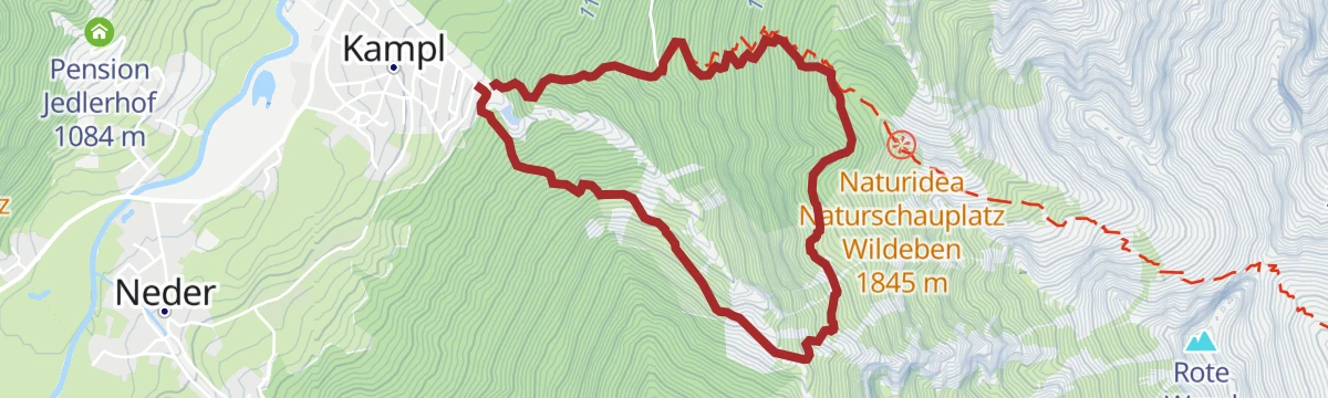
Kampl - Kampler Höhle - Wildeben
A steep climb out of the Stubai valley above Fulpmes to a hut at 1,780 m, by way of a cave on the wooded hillside.
- 4.6 km
- Distance
- 739 m
- Ascent
- 4 h 13 min
- Duration
- 5
- Check-ins
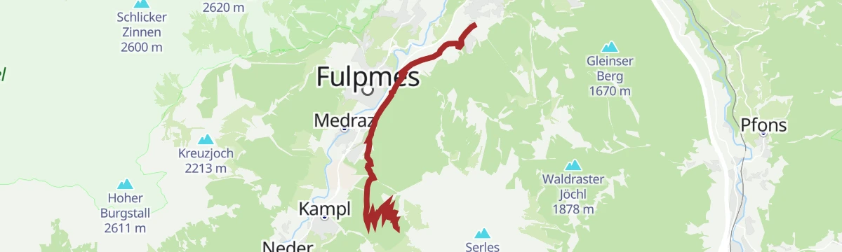
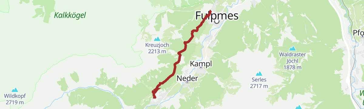
Sunnenseitn Weg: Neustift - Fulpmes
Sunny-side traverse of the Stubaital from Neustift's Bachertal car park to Fulpmes, rolling through Pfurtschell with a stop possible at the Gasthof Vergör.
- 7.9 km
- Distance
- 462 m
- Ascent
- 3 h 13 min
- Duration
- 5
- Check-ins
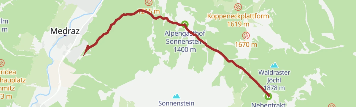
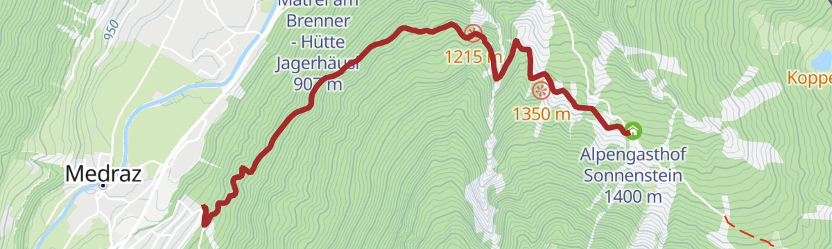
Medraz - Sonnenstein
Climb from Medraz through shaded forest to the Alpengasthof Sonnenstein on its sunny shelf above the Stubaital — a straightforward half-day with an inn at the turnaround.
- 3.6 km
- Distance
- 381 m
- Ascent
- 2 h 19 min
- Duration
- 3
- Check-ins
No routes of this kind in Fulpmes yet.
The region's own picks

Featured route
Panoramaweg & Aussichtsplattform "StubaiBlick"
A very short stroll from the Kreuzjoch top station to a viewing platform above the Schlick, a quick detour for the panorama over the whole Stubaital.
Planning a trip to Fulpmes?
Everything else Tyrol has, in one place


Take Fulpmes with you into the mountains
Every route on this page with 3D terrain, GPX navigation and offline maps — including the valleys with no signal.
Data sources
- Official website: stubai.at ↗
- Routes and highlights: Tourismusverband Stubai Tirol, Wipptal Tourismus
- Published as open data by the tourist boards named above.
- Region summary generated from the board's own material.
