

 Mountain hut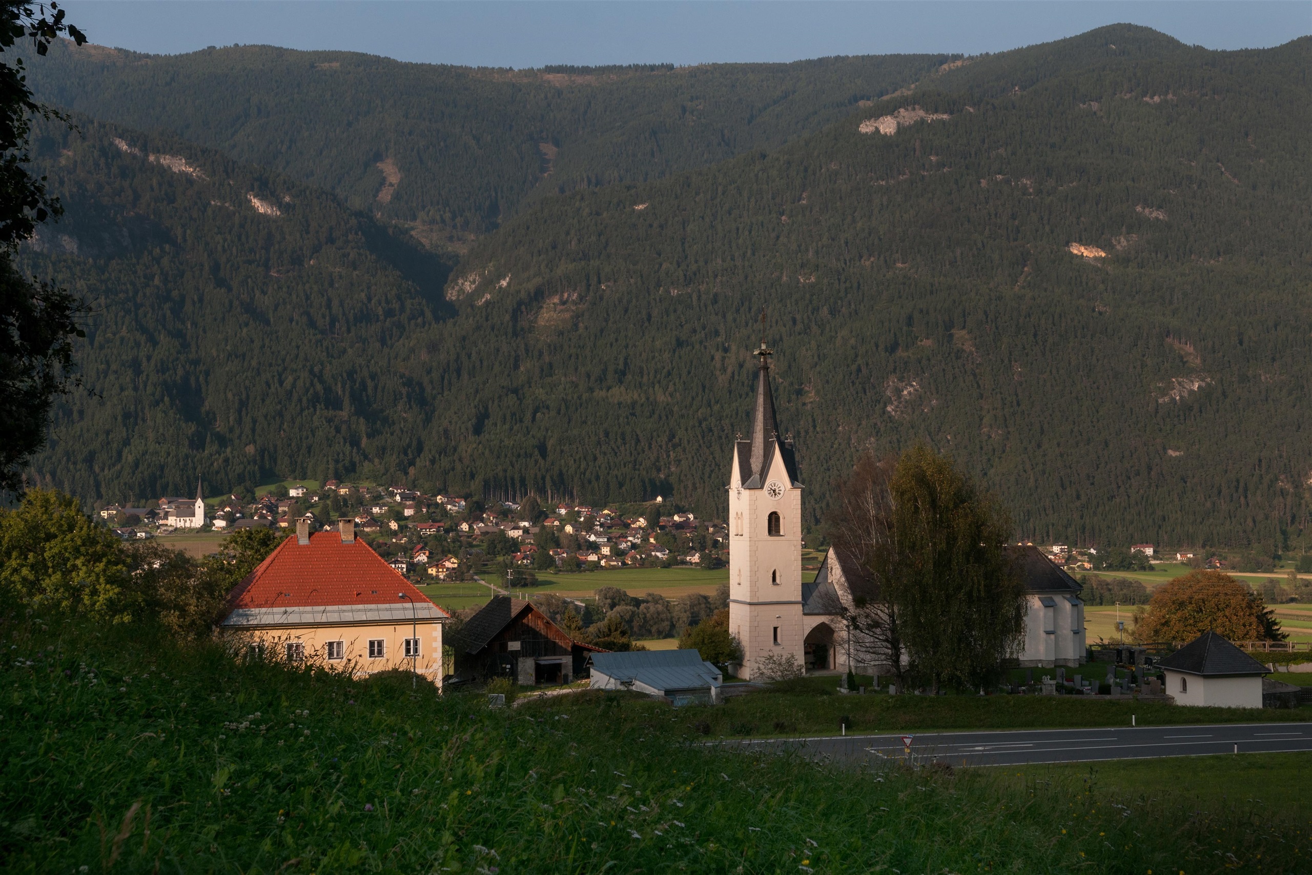

 Historic site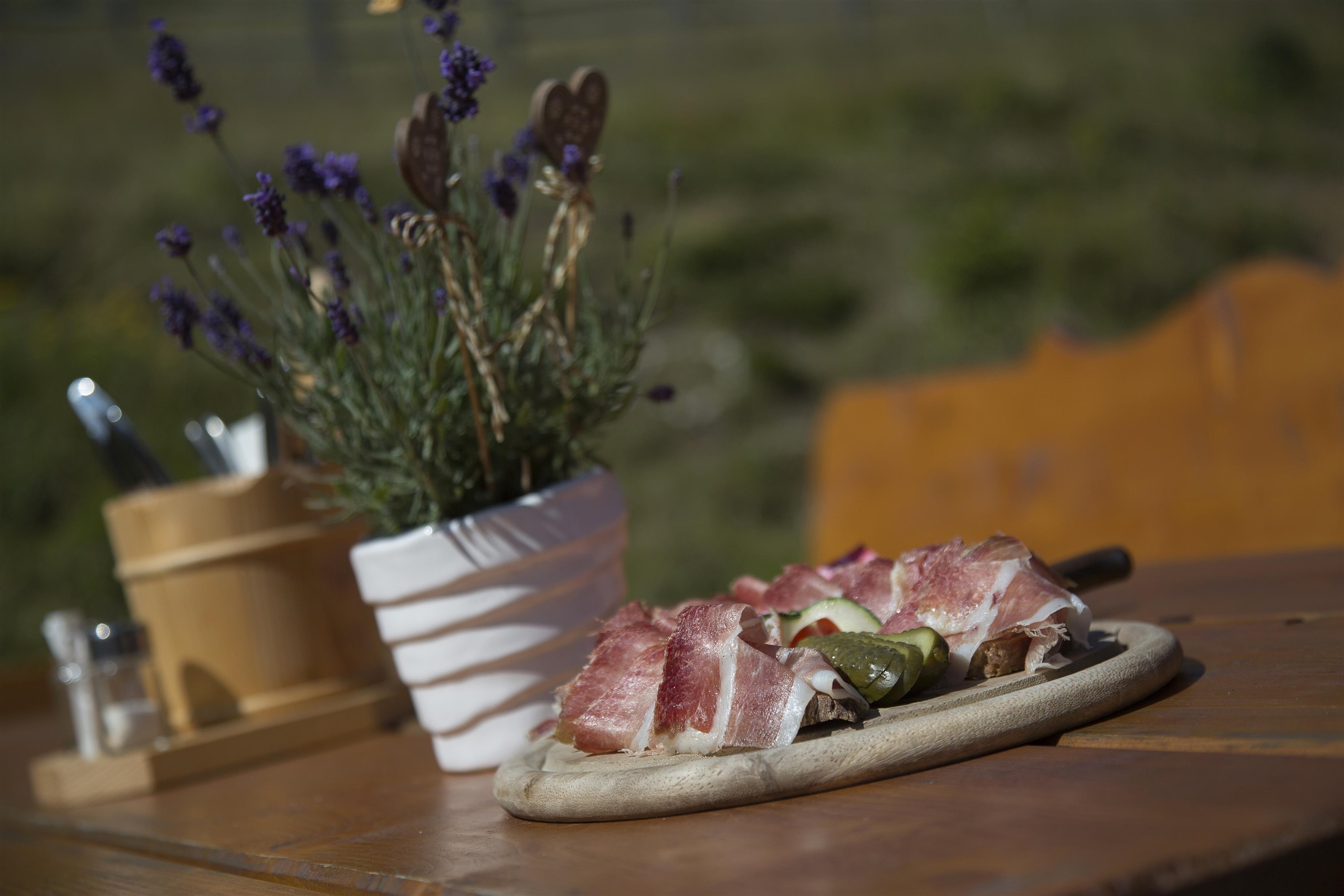










Curated by Villach Tourismus
Fresach
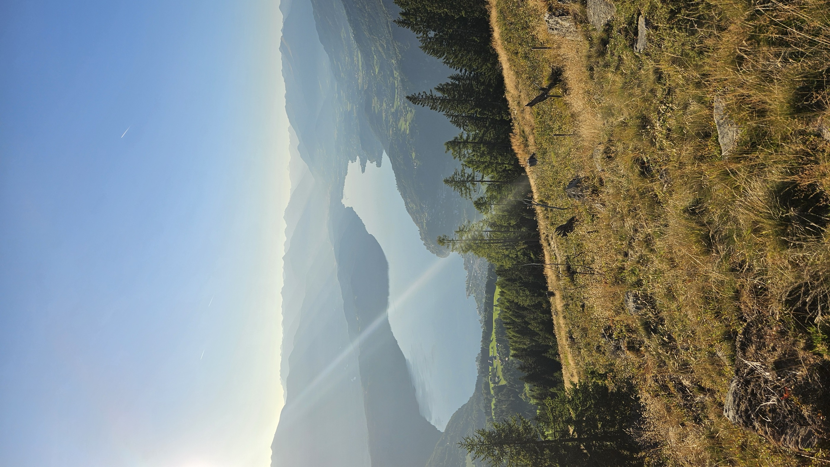
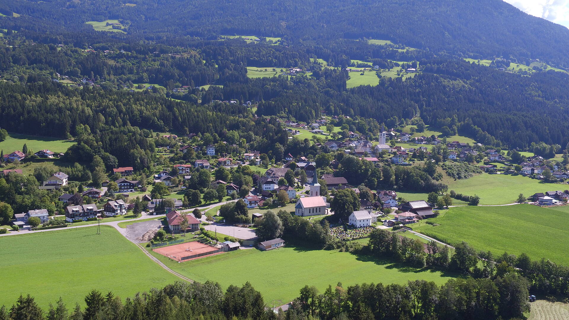
A sunny terrace above the Drau valley between Villach and Spittal, rising from 650 to nearly 1,200 m below the Mirnock and recognised as a climatic health resort.
- 15Highlights
- 7Routes
- Featured summit · Mirnock
Highlights
All 15 from neighbouring places
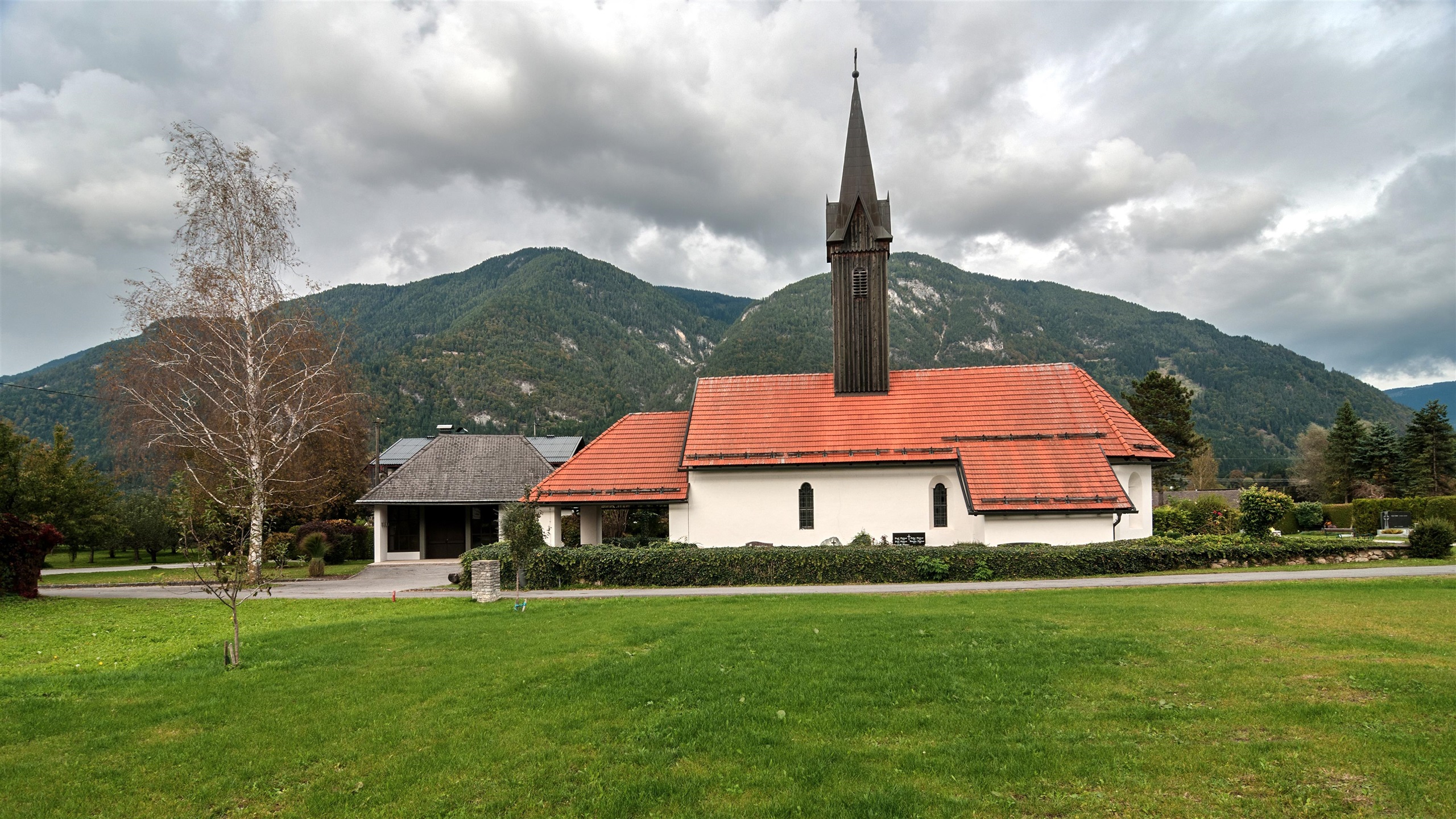
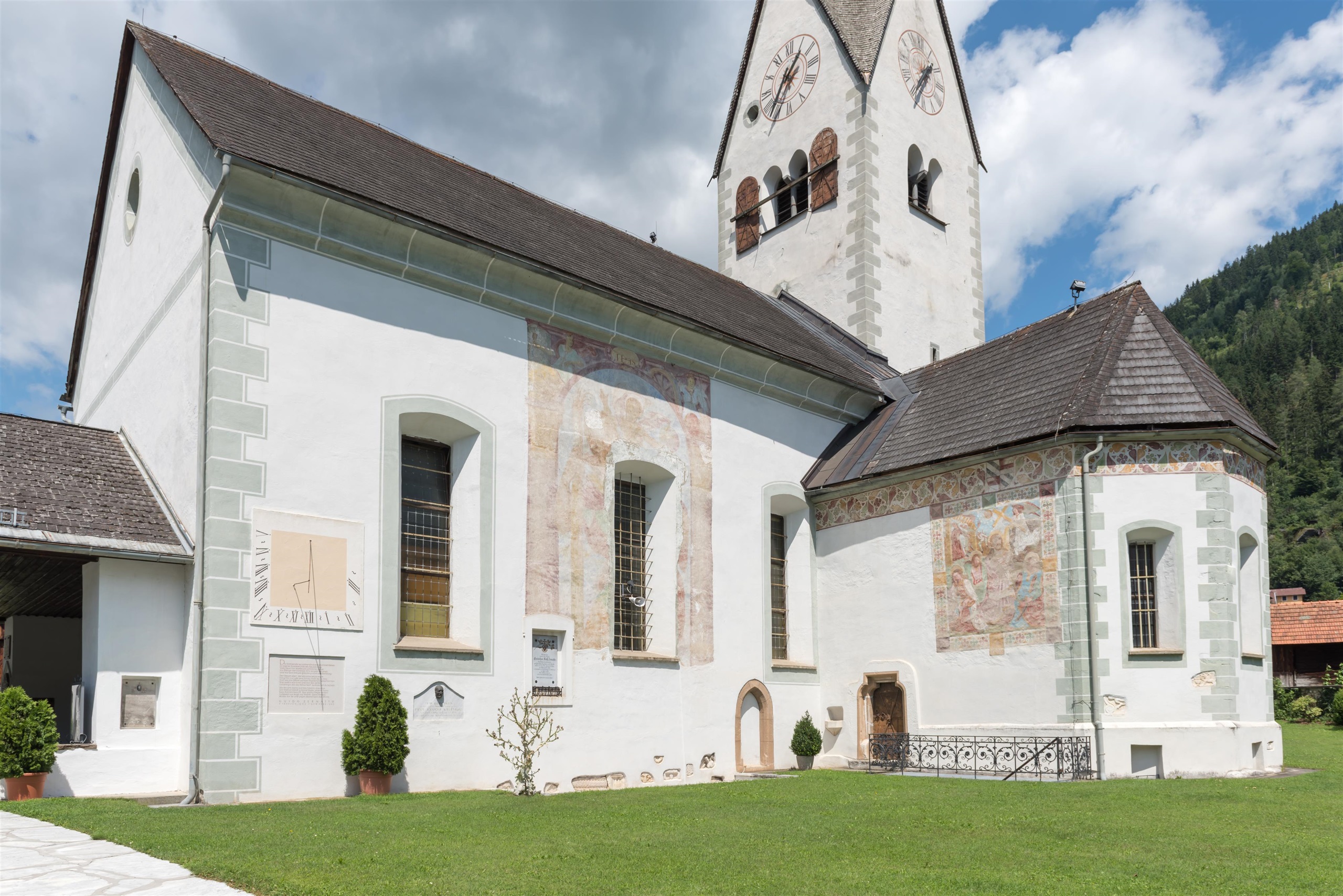
Kirche Lansach
4.4 km away, in Weißenstein
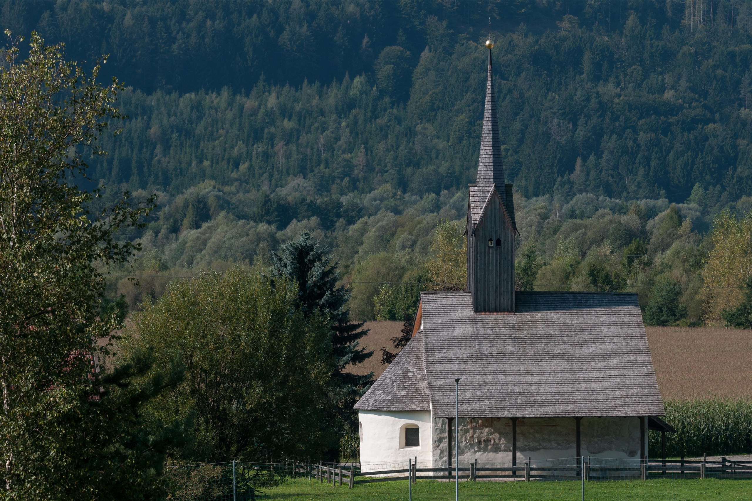
A small village church at Lansach near Weissenstein in the lower Drau valley, one of a cluster of country churches west of Villach.
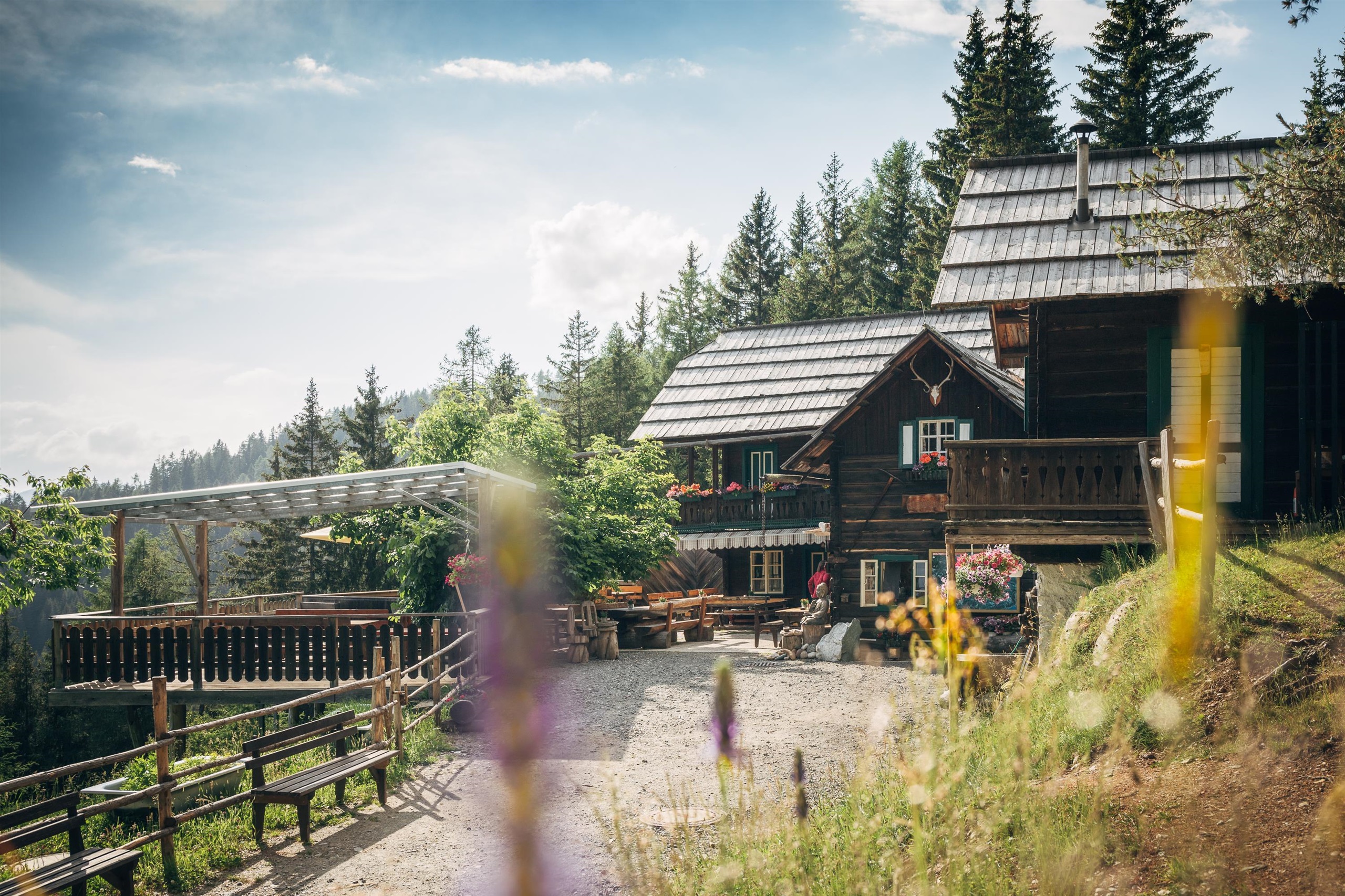
Schwarzseehütte
4.7 km away, in Treffen am Ossiacher See
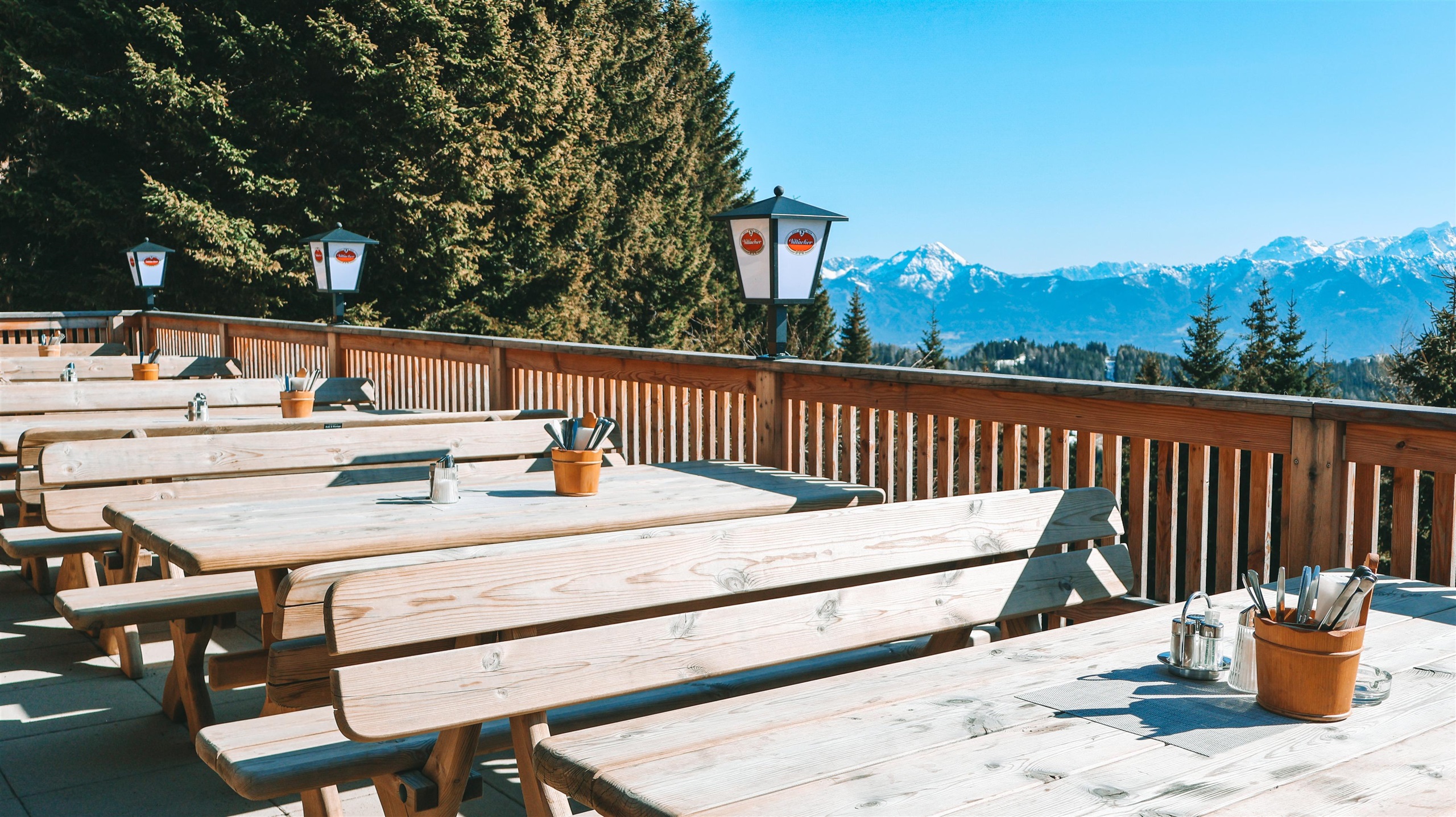
A pasture hut near the small Schwarzsee above Verditz in the Villach region, serving Austrian home cooking and its own farm produce.
Kirche Kellerberg
5.5 km away, in Weißenstein
The village church of Kellerberg in the Drau valley near Weissenstein, a small historic church west of Villach.
Sigis Einkehr
7.2 km away, in Treffen am Ossiacher See
A snack station at Verditz in the hills northwest of Villach, a simple stop for home cooking on the walking and touring routes above the village.
Kirche Puch
7.8 km away, in Weißenstein
The village church of Puch near Weissenstein, a small country church above the Drau valley west of Villach.
Kirche Töplitsch
8 km away, in Weißenstein
A small church at Töplitsch near Weissenstein in the Drau valley, a quiet rural church between Villach and Paternion.
Pilz- & Puppen-Museum
10 km away, in Treffen am Ossiacher See
A private museum at Treffen near the Ossiacher See combining a collection of mushroom models with historic dolls and toys.
Jausenstation Steinhauser
10.3 km away, in Treffen am Ossiacher See
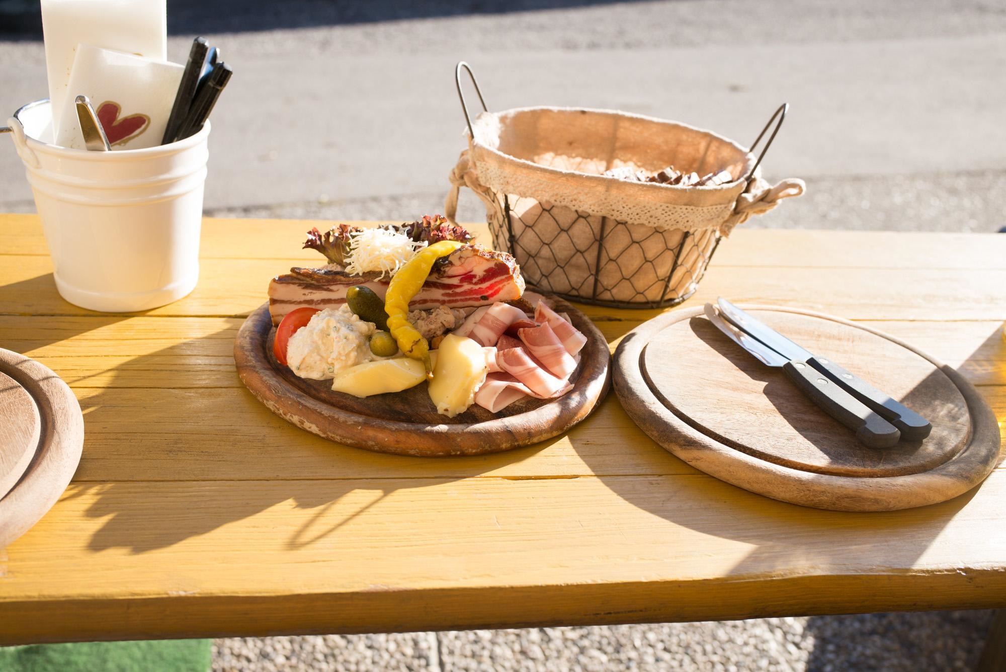
A snack station with beer garden at Treffen near the Ossiacher See, serving cold platters and home cooking to walkers and cyclists.
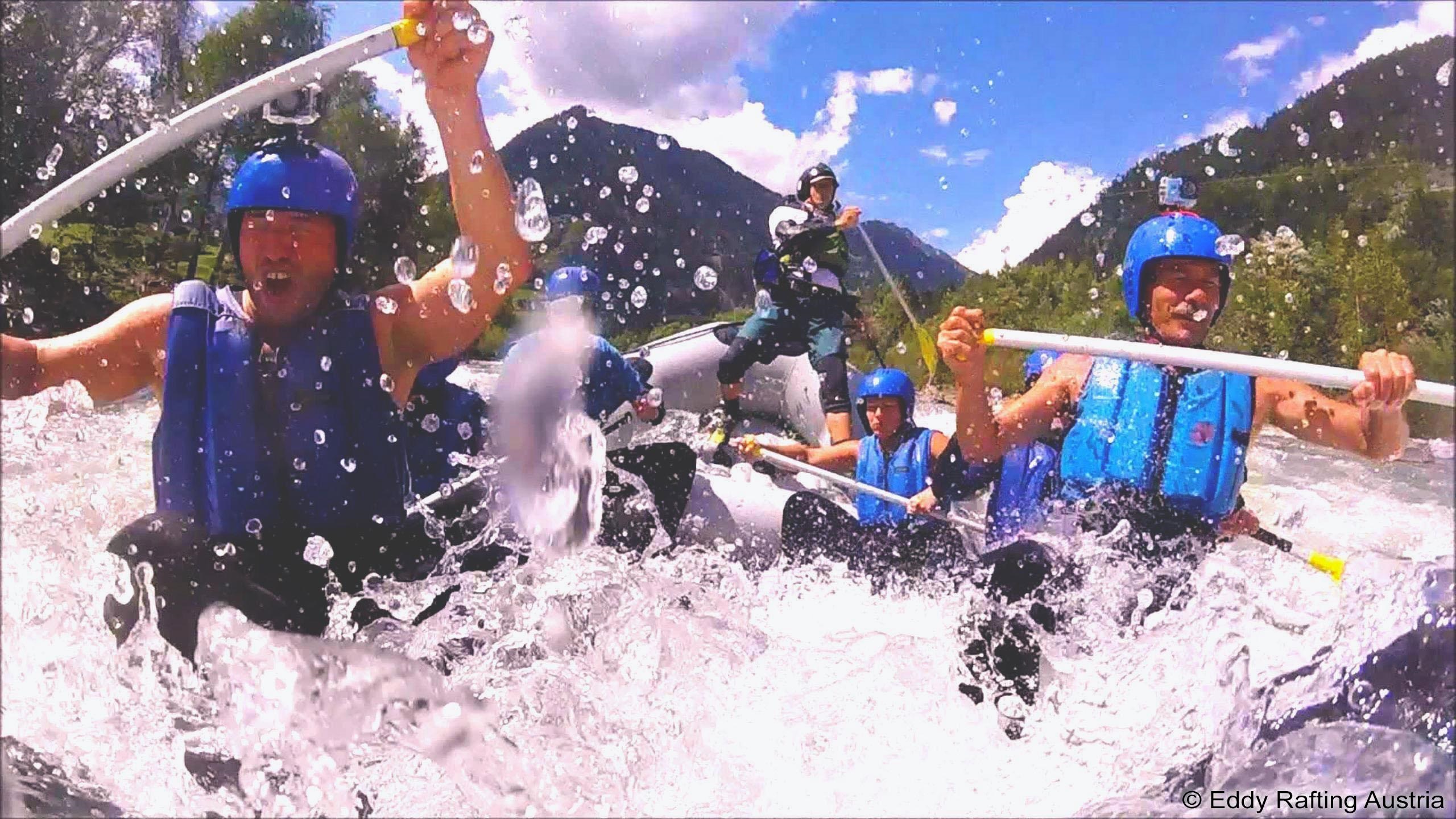
Eddy Rafting Austria
12.1 km away, in Treffen am Ossiacher See
A rafting operator based at Treffen am Ossiacher See in Carinthia, running guided whitewater trips on the region's rivers for families and groups.
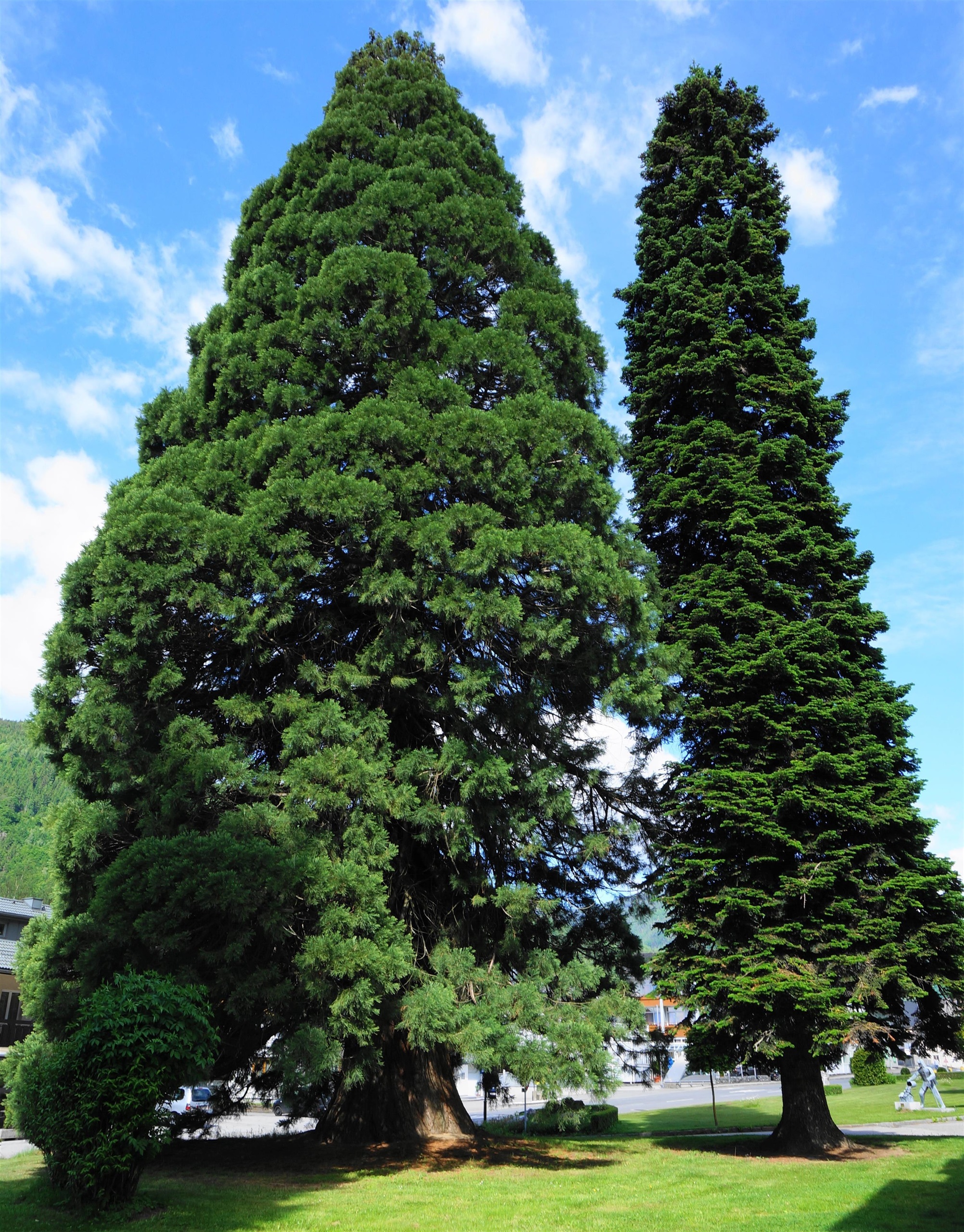
Der Riesenmammutbaum von Treffen
12.1 km away, in Treffen am Ossiacher See
A giant sequoia at Treffen am Ossiacher See, protected as a natural monument and one of the largest trees of its kind in Carinthia.
Katholische Pfarrkirche St. Maximilian
12.6 km away, in Treffen am Ossiacher See
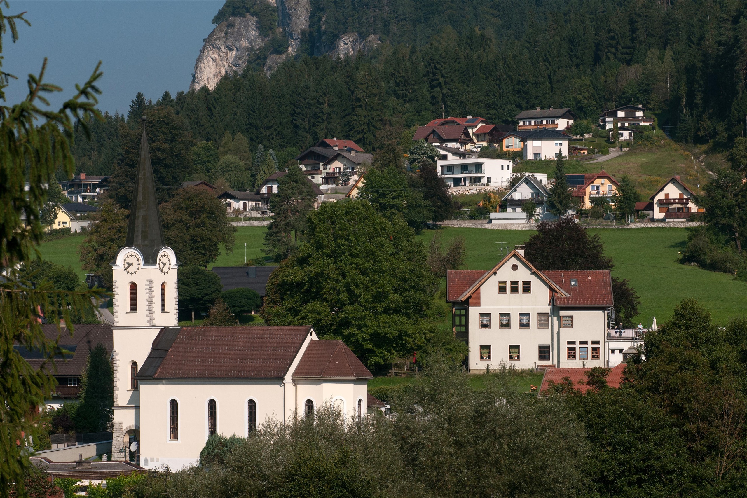
The parish church of Treffen am Ossiacher See, dedicated to St Maximilian, with Gothic fabric and Baroque furnishings.
Gasthof Kuchlerwirt
12.7 km away, in Treffen am Ossiacher See
A traditional inn at Treffen am Ossiacher See in Carinthia, serving regional and international cooking in an old-established village guesthouse.
Nepomuk-Kapelle
12.7 km away, in Treffen am Ossiacher See
A baroque chapel of St John of Nepomuk at Treffen am Ossiacher See, a small historic monument north of Villach.
Steinwenderhütte
13 km away, in Treffen am Ossiacher See
A pasture hut on the western Gerlitzen above Treffen, serving regional home cooking with vegetarian and vegan dishes to skiers and walkers.
Kammerhütte
14.8 km away, in Treffen am Ossiacher See
A pasture hut high on the Gerlitzen above Treffen am Ossiacher See, serving simple home cooking to skiers and summer walkers.
Nothing of this kind in Fresach.
Routes
13 from neighbouring places
Panoramaweg Schwarzsee - Palnock
From Verditz up to the Schwarzsee and its hut, then on over open Nockberge ground to the Palnock, some 700 m of ascent in all.
- 11.8 km
- Distance
- 719 m
- Ascent
- 4 h 58 min
- Duration
- 16
- Check-ins
Amberger Alm - Mirnock
A point-to-point Nockberge traverse from the Lärchenboden past the Schwarzsee and over the Palnock and Rindernock to the Mirnock.
- 12.9 km
- Distance
- 986 m
- Ascent
- 5 h 53 min
- Duration
- 39
- Check-ins
Rundwanderung Amberg-Schwarzsee
A circuit over the Palnock and the Amberger Alpe above Fresach, passing the Schwarzsee, with the Karawanken and the Julische Alpen in view to the south.
- 8.4 km
- Distance
- 662 m
- Ascent
- 4 h 17 min
- Duration
- 13
- Check-ins
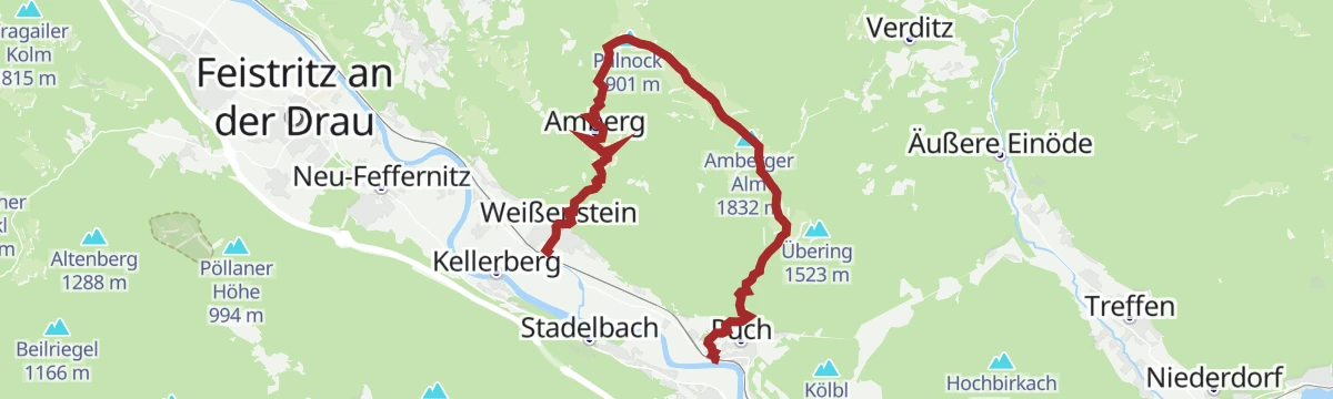
Puch - Amberg - Palnock - Weißenstein
From Puch up to the Amberger Alm and on over the Palnock, then down to Weißenstein: 16 km and close to 1,500 m of climbing for practised walkers.
- 16.0 km
- Distance
- 1 467 m
- Ascent
- 9 h 10 min
- Duration
- 10
- Check-ins
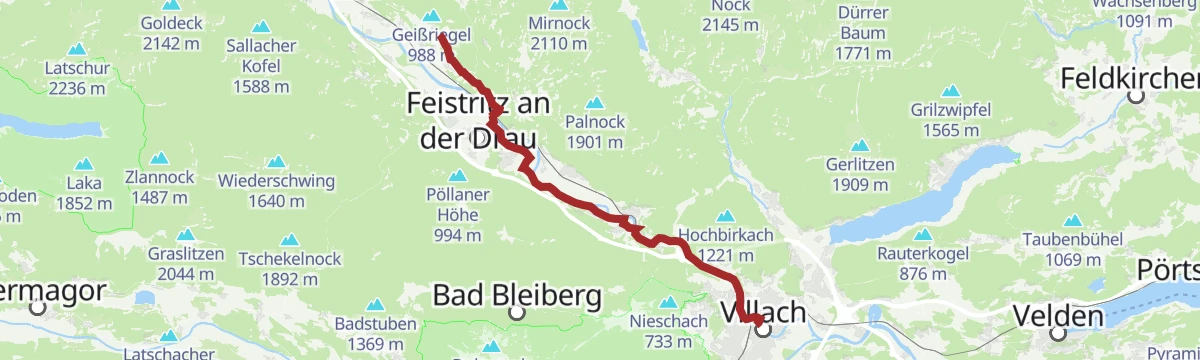
Jakobsweg Kärnten, Variante Etappe 7: Villach - St. Jakob ob Ferndorf
The variant seventh day of the Carinthian Camino, running from Villach north-west to St. Jakob ob Ferndorf in roughly seven and a half hours of walking.
- 28.8 km
- Distance
- 421 m
- Ascent
- 7 h 33 min
- Duration
- 5
- Check-ins
Jakobsweg Kärnten, 7. Etappe: Villach - St. Jakob ob Ferndorf
The seventh day of the Carinthian pilgrim route, some 27 km from the centre of Villach north-west to St. Jakob ob Ferndorf, about seven hours on foot.
- 27.3 km
- Distance
- 311 m
- Ascent
- 6 h 55 min
- Duration
- 4
- Check-ins
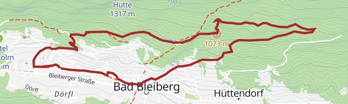
Weg des Buches, Variante 7A. Etappe: Fresach - Bad Bleiberg
A stage of the Protestant 'Weg des Buches' out of Fresach, 17 km and roughly six hours with more than 1,000 m of climbing.
- 16.9 km
- Distance
- 1 019 m
- Ascent
- 6 h 34 min
- Duration
Slow Trail Afritzer See
5 km away, in Afritz am See
One of Carinthia's Slow Trails: an almost level lakeside walk of under five kilometres by the Afritzer See, easy underfoot and waymarked throughout.
- 4.6 km
- Distance
- 35 m
- Ascent
- 1 h 10 min
- Duration
- 1
- Check-ins
Drei Seen Tour | NOCKBIKE Tour 22
5 km away, in Afritz am See
A lake-to-lake mountain-bike loop on the nock/bike network, linking Afritz am See with Feld am See and the campsite by the water.
- 17.9 km
- Distance
- 141 m
- Ascent
- 1 h 47 min
- Duration
Wöllaner Nock
9.6 km away, in Arriach
A gentle ski ascent of some 850 m above Arriach, counted among the region's forgotten classics and rarely busy.
- 11.0 km
- Distance
- 849 m
- Ascent
- 849 m
- Descent
- 3 h 48 min
- Duration
- 25
- Check-ins
Dobratsch - Nordansteig - Alpenlahner
11 km away, in Bad Bleiberg
A demanding ski tour out of the Bleiberg high valley, gaining over 1,250 m by way of the Alpenlahner to the Dobratsch summit.
- 3.7 km
- Distance
- 1 263 m
- Ascent
- 11 m
- Descent
- 3 h 10 min
- Duration
- 57
- Check-ins
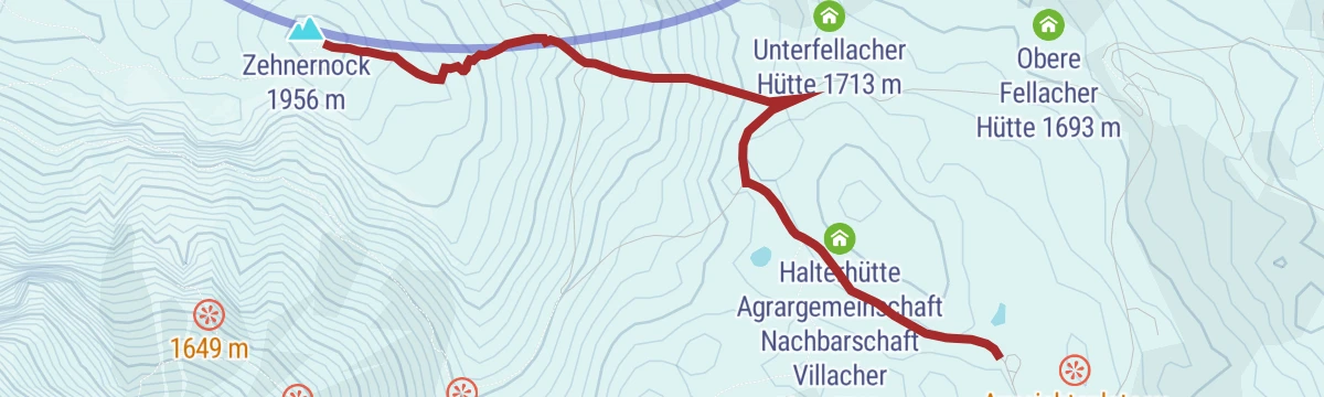
Dobratsch - Rosstratte bis Zehnernock
14.3 km away, in Villach
A short ski tour from the Rosstratte up to the Zehnernock, gaining a little over 200 m with the 10er Schutzhaus close by.
- 1.4 km
- Distance
- 217 m
- Ascent
- 0 m
- Descent
- 38 min
- Duration
- 33
- Check-ins
Tour auf den Oswaldiberg - Nr.5
14.9 km away, in Villach
A short, steep forest-road climb from the edge of Villach up onto the Oswaldiberg, gaining 450 m of height in under 8 km.
- 7.9 km
- Distance
- 405 m
- Ascent
- 1 h 7 min
- Duration
Drau Auen Runde
5.7 km away, in Paternion
An easy 11 km round in the lower Drautal near Paternion, following the river's floodplain woods for part of the way.
- 11.3 km
- Distance
- 123 m
- Ascent
- 2 h 58 min
- Duration
Wieseralm
4.9 km away, in Afritz am See
A demanding 23 km day on the slopes high above the Afritzer See, taking in the Rindernock and the Lierzberger Alpenspitz with the Kohlweißhütte and Melzerhütte en route.
- 23.5 km
- Distance
- 1 266 m
- Ascent
- 9 h 3 min
- Duration
- 9
- Check-ins
Bewegungsarena Bad Bleiberg - Mühlbacher-Runde (B6)
10.9 km away, in Bad Bleiberg
A Nordic-walking circuit in the Bad Bleiberg high valley that runs out to the Markusstollen mine adit, 7 km with modest climbing.
- 6.8 km
- Distance
- 213 m
- Ascent
- 2 h 7 min
- Duration
- 1
- Check-ins
Wieserwald-Tour | nock/bike Tour 19 mit Trail T19
5 km away, in Afritz am See
A climb of nearly 900 m on forest roads above Afritz am See from Camping Bodner, with a singletrack descent on the T19.
- 16.1 km
- Distance
- 900 m
- Ascent
- 2 h 25 min
- Duration
- 1
- Check-ins
Dobratsch - Heiligengeist bis Rosstratte
12.2 km away, in Villach
A moderate ski climb of some 825 m from Heiligengeist up Villach's home mountain to the Rosstratte, passing the Pogöriacher Hütte.
- 4.6 km
- Distance
- 825 m
- Ascent
- 0 m
- Descent
- 2 h 19 min
- Duration
- 7
- Check-ins
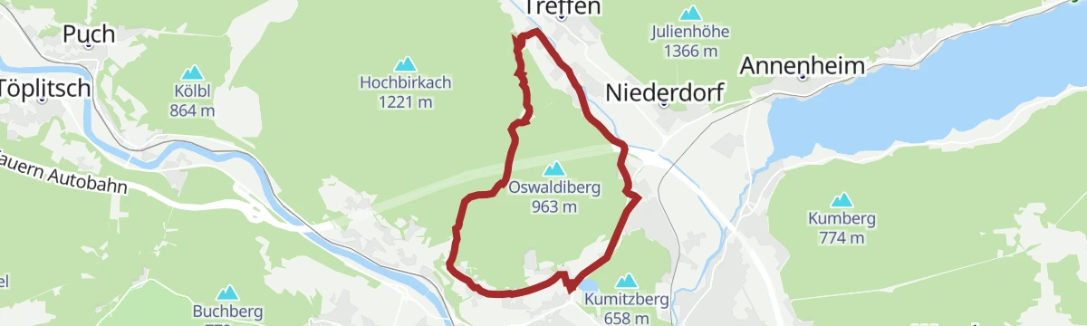
Tour rund um den Oswaldiberg - Nr.4
14.9 km away, in Villach
A gentler forest-road circuit around the flanks of the Oswaldiberg, keeping low above the western outskirts of Villach.
- 11.8 km
- Distance
- 266 m
- Ascent
- 1 h 18 min
- Duration
Schwarzsee Rundwanderweg
6.7 km away, in Treffen am Ossiacher See
A moderate 600 m climb to the Schwarzsee below the Amberger Alpe, with the hut on its shore for a break before the round back down.
- 7.7 km
- Distance
- 611 m
- Ascent
- 3 h 56 min
- Duration
- 11
- Check-ins
No routes of this kind in Fresach yet.
The region's own picks

Featured route
Panoramaweg Schwarzsee - Palnock
From Verditz up to the Schwarzsee and its hut, then on over open Nockberge ground to the Palnock, some 700 m of ascent in all.
Planning a trip to Fresach?
Everything else Carinthia has, in one place


Take Fresach with you into the mountains
Every route on this page with 3D terrain, GPX navigation and offline maps — including the valleys with no signal.
Data sources
- Official website: visitvillach.at ↗
- Routes and highlights: Villach Tourismus
- Published as open data by the tourist boards named above.
- Region summary generated from the board's own material.
