
Curated by Parcodolomitifriulane
Forni di Sopra
The highest village of the upper Tagliamento, under the Friulian Dolomites of the Monfalconi and the Cridola.
- 1Highlights
- 5Routes
- Featured summit · Al Turion
Highlights
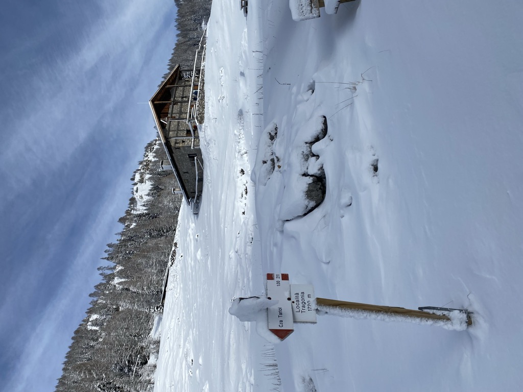
Rifugio Casera Tragonia
A casera, the local dairy hut, on the pastures above Forni di Sopra in the Friulian Dolomites, in the upper Val Tagliamento.
Nothing of this kind in Forni di Sopra.
Routes
15 from neighbouring places
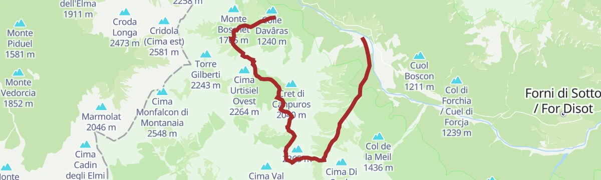
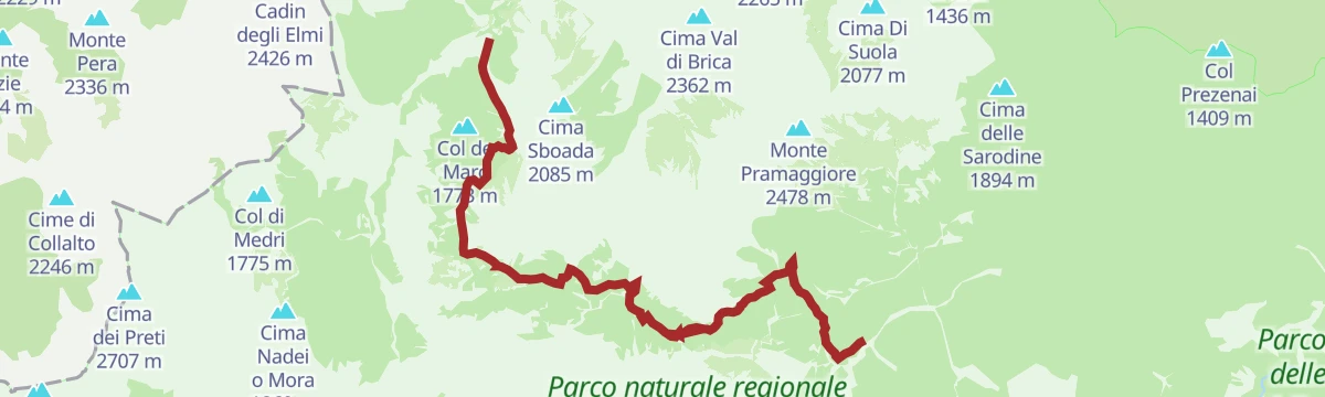
Trekking da Cimolais a Forni di Sopra
A crossing out of Cimolais in the Val Cellina, over a pass in the Friulian Dolomites park to Forni di Sopra in Carnia.
- 11.6 km
- Distance
- 812 m
- Ascent
- 5 h 38 min
- Duration
- 55
- Check-ins
Sentiero Truoi dai Sclops
A long, steep route above Forni di Sopra in the Friulian Dolomites, the gentian path of the upper Tagliamento.
- 15.2 km
- Distance
- 1 629 m
- Ascent
- 9 h 36 min
- Duration
- 77
- Check-ins
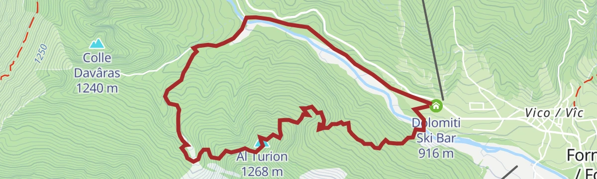
Truoi dal Von
A medium walk above Forni di Sopra at the head of the Tagliamento valley, climbing to Al Turion in the Friulian Dolomites.
- 6.4 km
- Distance
- 376 m
- Ascent
- 2 h 38 min
- Duration
- 6
- Check-ins
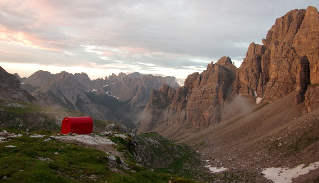
Bivacco Marchi-Granzotto Da Forni Di Sopra
A steep climb from Forni di Sopra to the Marchi-Granzotto bivouac, high under the Monfalconi towers.
- 8.5 km
- Distance
- 0 m
- Ascent
- 1 h 59 min
- Duration
- 32
- Check-ins
Cascata Val Rovadia
A walk from Forni di Sopra up the Val Rovadia to its waterfall, in the woods below the Friulian Dolomites.
- 8.5 km
- Distance
- 0 m
- Ascent
- 1 h 59 min
- Duration
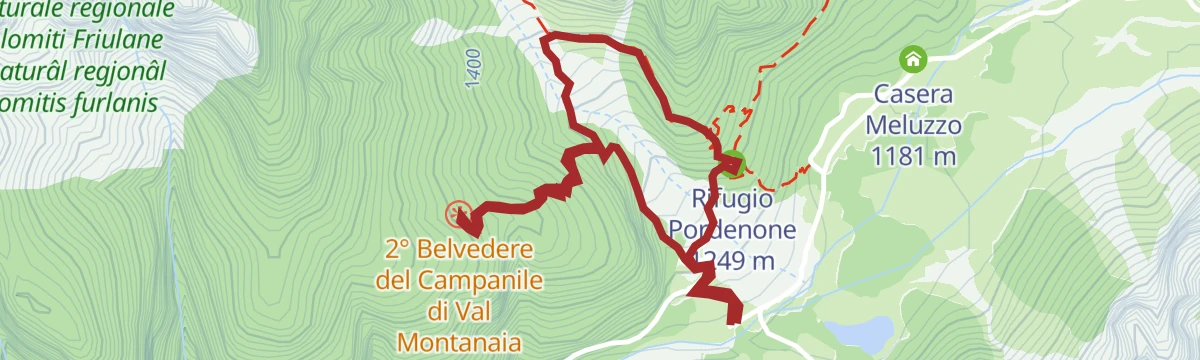
Belvederi del Campanile di Val Montanaia
6.7 km away, in Cimolais
A short climb from Cimolais to viewpoints facing the Campanile di Val Montanaia, the slender rock spire of the Friulian Dolomites.
- 3.0 km
- Distance
- 313 m
- Ascent
- 1 h 55 min
- Duration
- 24
- Check-ins
BIKE TOUR - FROM CALALZO DI CADORE TO SANTA CROCE LAKE
13.3 km away, in Calalzo di Cadore
A valley run down the Piave on the Munich–Venice cycle way, from Cadore through Perarolo and Ospitale towards the Alpago lake.
- 49.3 km
- Distance
- 451 m
- Ascent
- 4 h 55 min
- Duration
- 2
- Check-ins
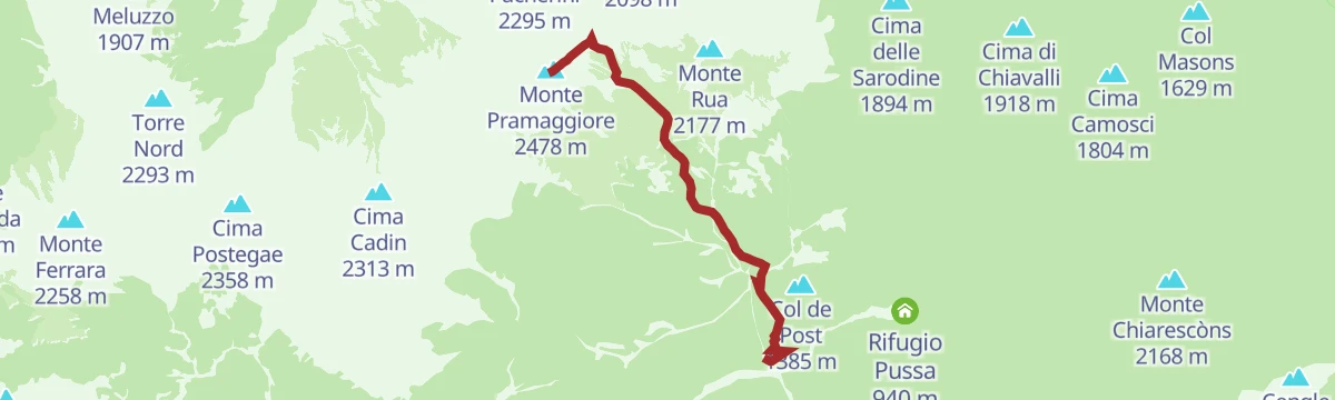
Open route Dolomiti Bellunesi - The Mountains of VeniceMonte Pramaggiore da sud
8.5 km away, in Claut
A steep southern ascent of Monte Pramaggiore, one of the main summits of the Friulian Dolomites above Claut.
- 4.6 km
- Distance
- 1 608 m
- Ascent
- 5 h 39 min
- Duration
- 10
- Check-ins
Sentiero Geologico Montanaia Meluzzo
6.7 km away, in Cimolais
A geology trail from the Meluzzo pastures up the Val Montanaia, reading the rock layers beneath the Campanile.
- 3.6 km
- Distance
- 0 m
- Ascent
- 50 min
- Duration
- 25
- Check-ins
 Rifugio Pordenone 1 249 m
 Lago di Meluzzo 1 163 m
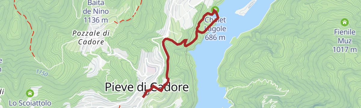
Lake Centro di Cadore and the Laghetto delle Tose from Pieve di Cadore
14.1 km away, in Pieve di Cadore
A walk from Pieve di Cadore along the Centro Cadore reservoir and up to the smaller Laghetto delle Tose in the woods.
- 5.4 km
- Distance
- 227 m
- Ascent
- 1 h 50 min
- Duration
- 23
- Check-ins
- Laghetto pesca sportiva 685 m
- Chalet Lagole 686 m
- Laghetto delle Tose 711 m
Open route Dolomiti Bellunesi - The Mountains of VeniceTrekking delle Bregoline
9 km away, in Claut
A long, steep circuit above Claut on the Bregoline slopes, crossing the Colle Roncada in the Friulian Dolomites park.
- 16.3 km
- Distance
- 1 590 m
- Ascent
- 9 h 17 min
- Duration
- 11
- Check-ins
Sentiero geologico Paleolago di Forni di Sotto
9.3 km away, in Forni di Sotto
A geological trail around the basin of the vanished lake at Forni di Sotto, in the upper Tagliamento valley.
- 14.2 km
- Distance
- 0 m
- Ascent
- 3 h 19 min
- Duration
Monte Chiarescons da Nord
9.1 km away, in Forni di Sotto
A steep climb from the north to Monte Chiarescons, in the Friulian Dolomites above Forni di Sotto.
- 7.0 km
- Distance
- 0 m
- Ascent
- 1 h 39 min
- Duration
Mauria Pass
11 km away, in Vigo di Cadore
A road climb from Lorenzago di Cadore through alpine forest to the Passo della Mauria, the old link between Cadore and Friuli.
- 11.1 km
- Distance
- 562 m
- Ascent
- 3 h 32 min
- Duration
- 12
- Check-ins
Open route Dolomiti Bellunesi - The Mountains of VeniceFrom Domegge to Refuge Padua
11.8 km away, in Domegge di Cadore
A long approach from Domegge di Cadore by Vallesella and the shore of the Centro Cadore reservoir up to the Rifugio Padova below the Spalti di Toro.
- 18.3 km
- Distance
- 814 m
- Ascent
- 6 h 18 min
- Duration
- 41
- Check-ins
Open route Dolomiti Bellunesi - The Mountains of VeniceHermitage of the Romiti from Domegge di Cadore
11.9 km away, in Domegge di Cadore
A forest-road ascent from Domegge past the Centro Cadore lake to the Eremo dei Romiti, the only convent ever built in Cadore.
- 10.9 km
- Distance
- 575 m
- Ascent
- 4 h 9 min
- Duration
- 40
- Check-ins
Open route Dolomiti Bellunesi - The Mountains of VeniceTrekking forcella Duranno
14.3 km away, in Cimolais
A long climb from the Val Cimoliana up to the Forcella Duranno, the notch under Monte Duranno in the Friulian Dolomites.
- 13.6 km
- Distance
- 1 575 m
- Ascent
- 8 h 36 min
- Duration
- 47
- Check-ins
Cadore Center Ring
13.5 km away, in Calalzo di Cadore
A loop from the Calalzo sports fields through the woods and villages of central Cadore.
- 14.7 km
- Distance
- 484 m
- Ascent
- 4 h 39 min
- Duration
- 27
- Check-ins
 Col Contràs 1 062 m
- Laghetto pesca sportiva 685 m
- Chalet Lagole 686 m
- Laghetto delle Tose 711 m
- Casa di Babbo Natale 888 m
Open route Dolomiti Bellunesi - The Mountains of VeniceThe Val d'Oten in Calalzo di Cadore
13.5 km away, in Calalzo di Cadore
A long walk from Calalzo into the Val d'Oten, wild ground between the Antelao, second highest in the Dolomites, and the Marmarole walls, by forest road to Praciadelan.
- 21.9 km
- Distance
- 657 m
- Ascent
- 6 h 45 min
- Duration
- 33
- Check-ins
Open route Dolomiti Bellunesi - The Mountains of VeniceRefuge Tita Barba from Pieve di Cadore
14 km away, in Pieve di Cadore
A long outing from Pieve di Cadore down to the reservoir dam and then up through forest to the Tita Barba hut, a lookout over the Cadore basin.
- 25.0 km
- Distance
- 1 441 m
- Ascent
- 10 h 7 min
- Duration
- 18
- Check-ins
Open route Dolomiti Bellunesi - The Mountains of Venice






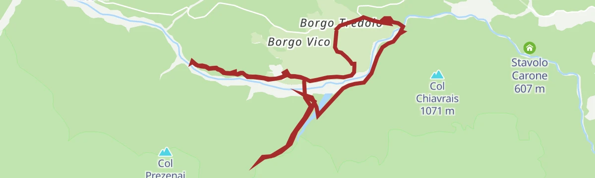
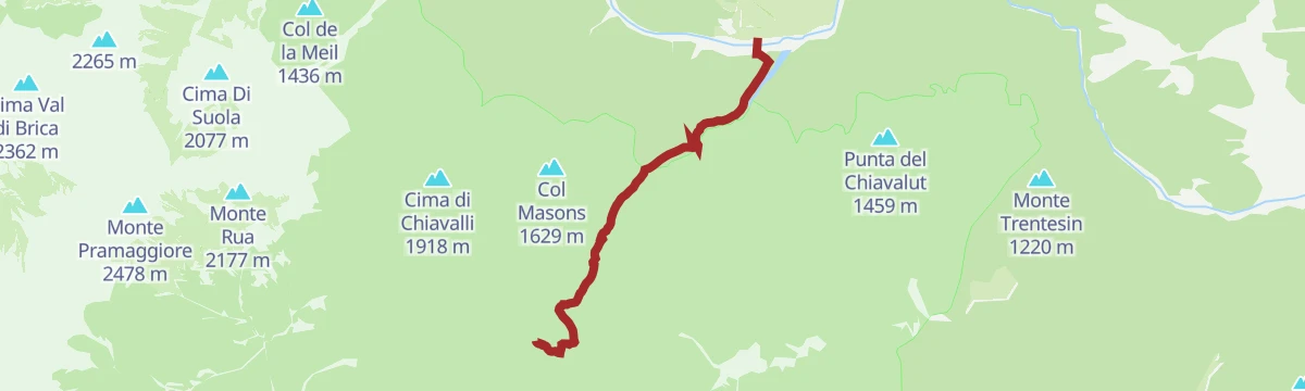


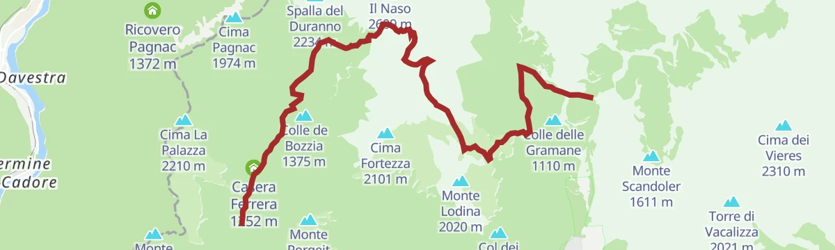


No routes of this kind in Forni di Sopra yet.
The region's own picks
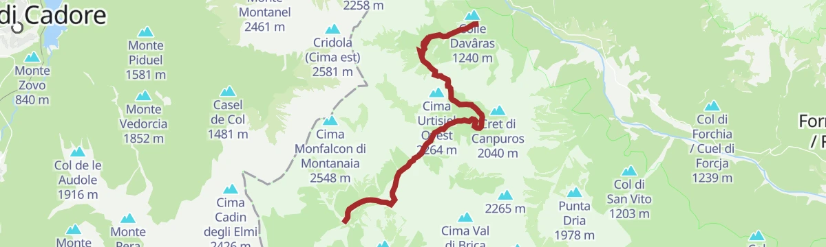
Featured route
Trekking da Cimolais a Forni di Sopra
A crossing out of Cimolais in the Val Cellina, over a pass in the Friulian Dolomites park to Forni di Sopra in Carnia.
Planning a trip to Forni di Sopra?
Everything else Friuli Venezia Giulia has, in one place


Take Forni di Sopra with you into the mountains
Every route on this page with 3D terrain, GPX navigation and offline maps — including the valleys with no signal.
Data sources
- Official website: turismofvg.it ↗
- Routes and highlights: Parcodolomitifriulane, Dolomiti Bellunesi - The Mountains of Venice, YesAlps
- Published as open data by the tourist boards named above.
- Region summary generated from the board's own material.
