
Curated by Alpenregion Vorarlberg
Fontanella
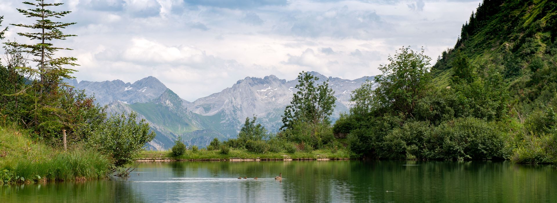
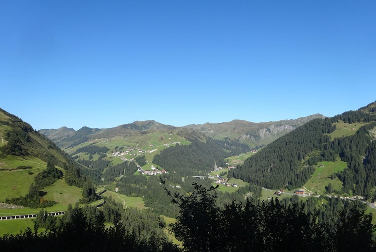
A Walser mountain village at about 1150 m at the head of the Großes Walsertal, with the small ski slopes of Faschina at the pass above.
- 6Highlights
- 27Routes
Highlights
9 from neighbouring places
Bartholomäus Alpe
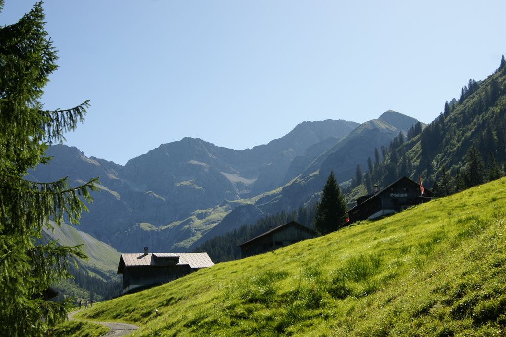
An alp above Fontanella where a cold drink and a plate of bread and cheese are always to be had.
Damülser Horn
A secondary top of the Glatthorn, on the Fontanella side of the group.
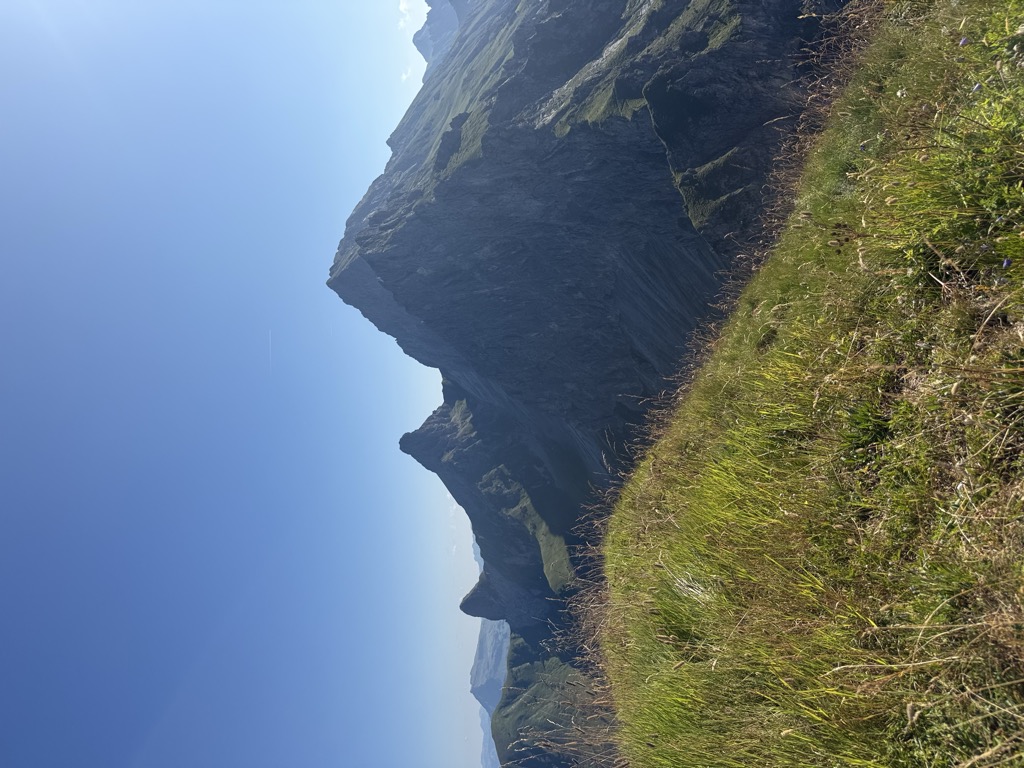
Glatthorn
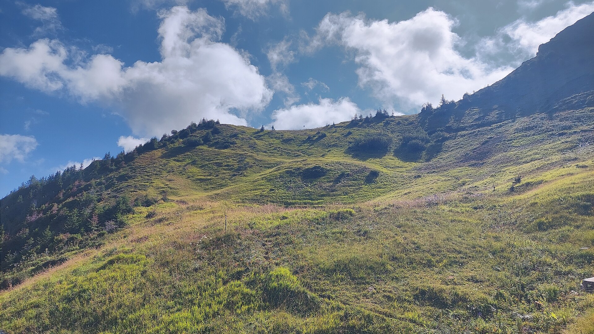
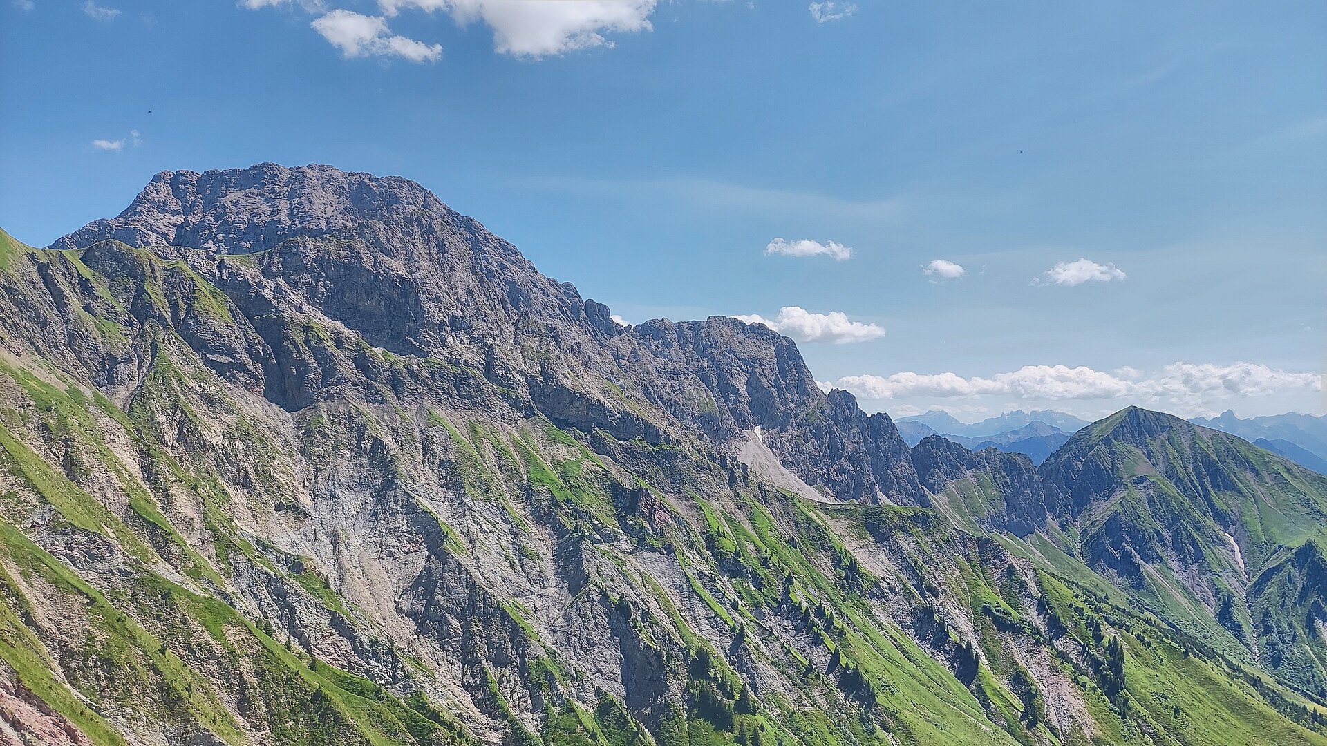
At 2,133 m the highest of the Bregenzerwald mountains, standing west above the Faschinajoch.
Schluchtensattel
A saddle on the ridge between the Glatthorn group and the head of the Walsertal.
Faschinajoch
The 1,486 m pass that carries the road between the Bregenzerwald and the Große Walsertal.
Zafernalpe
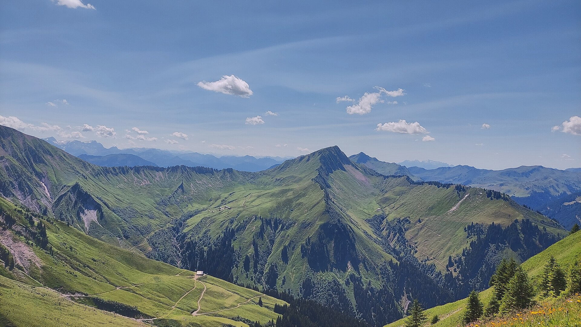
The alp on the south side of the Zafernhorn, passed on the round of the peak.
PeakVisor / OpenStreetMapFIS Skimuseum in der Kulisse Pfarrhof in Damüls
2.2 km away, in Damüls
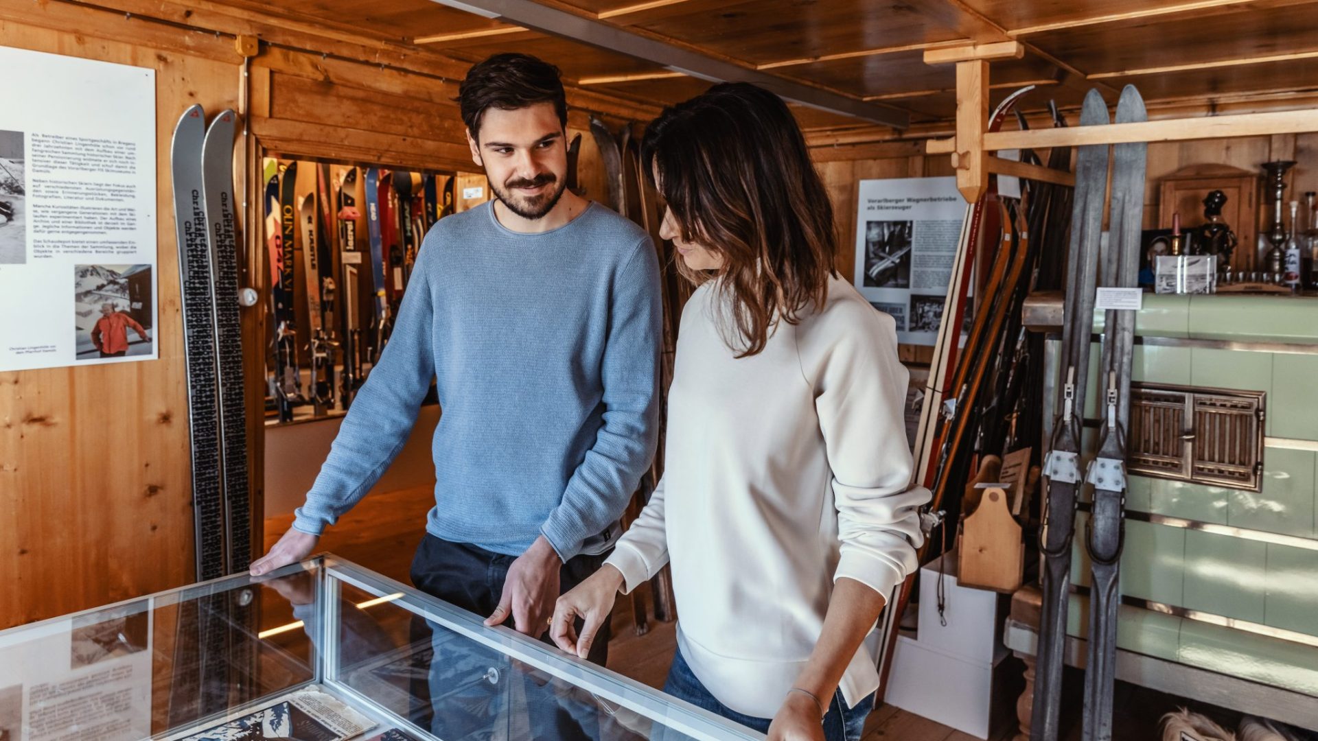
A ski museum in the old parsonage, covering some 130 years of skiing in Vorarlberg.
biosphärenpark.haus
2.5 km away, in Sonntag
The visitor centre of the UNESCO biosphere reserve, and the place to understand what the core zones protect.
Schneereich Damüls-Mellau-Faschina
3 km away, in Damüls
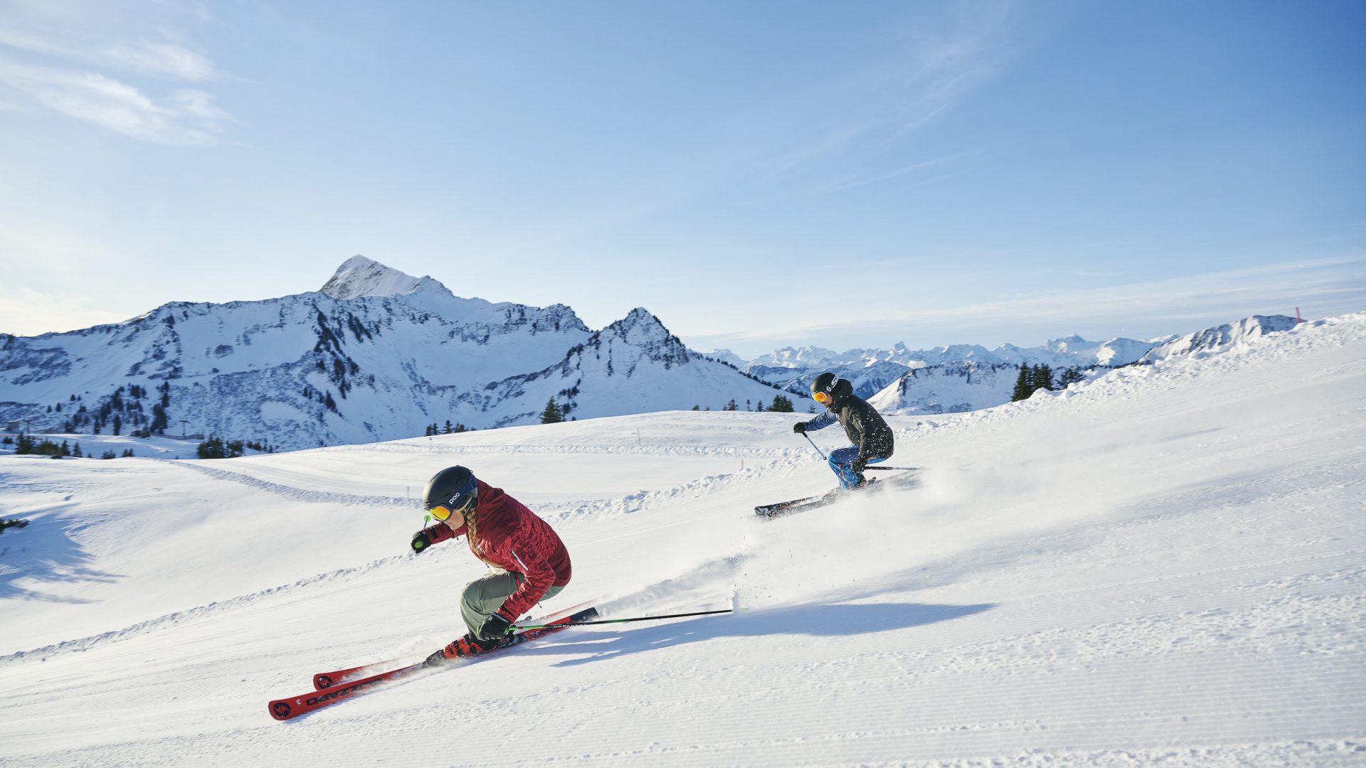
The linked ski area of three villages, where skiers at Damüls start from their own doorstep onto the pistes.
Alpe Unterpartnom
3.1 km away, in Sonntag
The lower of the two Partnom alps, on the mountain-bike round from Marul down to Sonntag.
Hochlicht
3.4 km away, in Sonntag
One of the two summits on the round from Faschina, above the Blasenka.
Hochscherefürggele
3.8 km away, in Sonntag
A high saddle on the crossing from Faschina to Buchboden, one of the hardest walks here.
Klettergarten Wandfluh
4.4 km away, in Sonntag
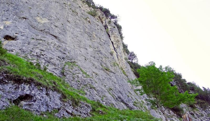
The climbing garden on the Wandfluh at Sonntag-Stein, beside the via ferrata.
Glattecker
5 km away, in Sonntag
A 2,403 m summit some 4.5 km south of the village, the highest point of the ridge that closes the valley head.
Grünes Gräshorn
5.1 km away, in Au
A 2,201 m grass summit under 4 km south of the village, the nearest of the ridge tops to the valley.
 Mountain hut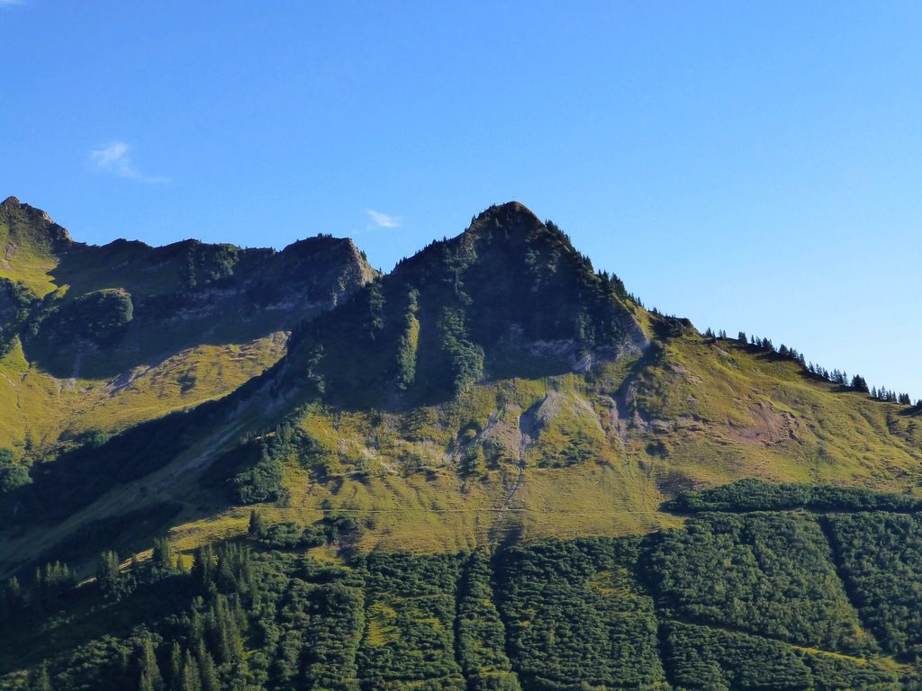
 Mountain pass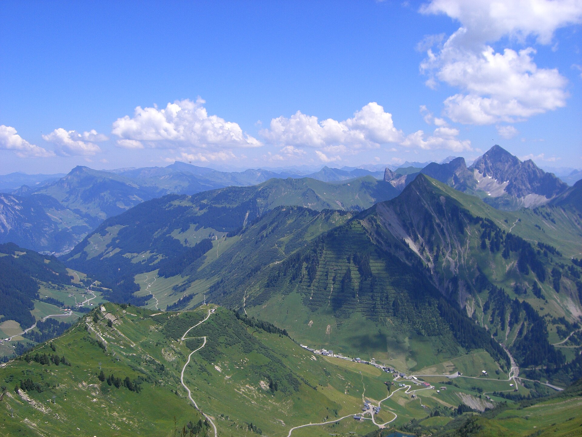
 Cable car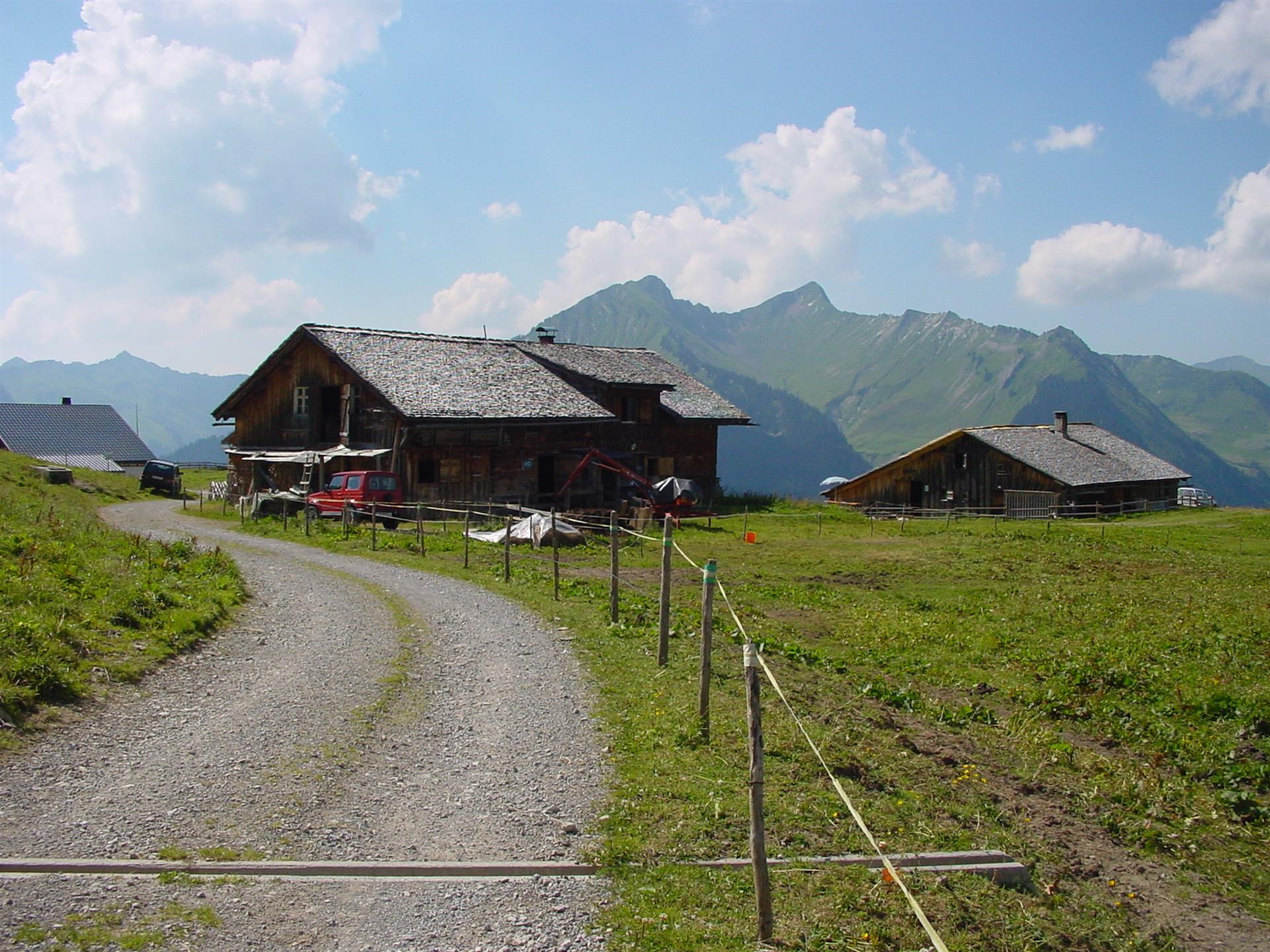
Nothing of this kind in Fontanella.
Routes
Entschleunigungsweg „Walser Wald Apotheke"
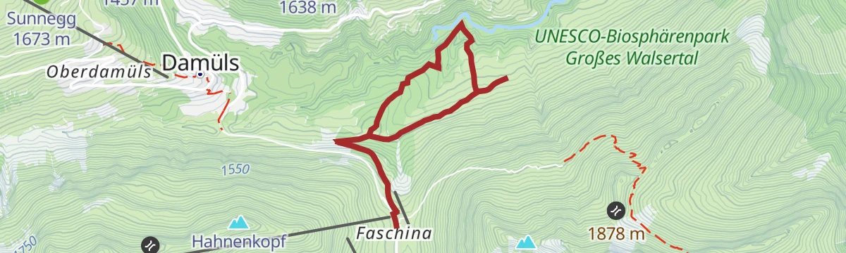
A slow walk through the Tiefenwald core zone at Faschina, laid out for forest bathing.
- 4.7 km
- Distance
- 275 m
- Ascent
- 1 h 56 min
- Duration
Open route Alpenregion VorarlbergAlphüttenwanderung Damüls-Mellau-Faschina - Teil 1
The first part of the alp-hut walk, from Damüls by the Stofel chapel and the alps to the Türtschalpe.
- 13.9 km
- Distance
- 598 m
- Ascent
- 5 h 6 min
- Duration
Open route Alpenregion VorarlbergBlasenka 2.004 m & Hochlicht 2.109 m
Two summits in one day at the heart of the Große Walsertal: the Blasenka at 2,004 m and the Hochlicht at 2,109 m.
- 13.2 km
- Distance
- 1 076 m
- Ascent
- 6 h 55 min
- Duration
Open route Alpenregion VorarlbergDamüls - Damülser Horn
A ski tour from Damüls to Damülser Horn, 441 m of climbing in 3.9 km to a high point of 1,898 m.
- 3.1 km
- Distance
- 0 m
- Ascent
- 0 m
- Descent
- 45 min
- Duration
Open route PeakVisor tTRL (OpenStreetMap piste_type=skitour)Damüls-Faschina
An even-angled ski tour to the Zafernhorn at 2,107 m, often skinned in the morning or before sunset.
- 4.3 km
- Distance
- 717 m
- Ascent
- 0 m
- Descent
- 2 h 3 min
- Duration
Open route Vorarlberg TourismusAu | Von Au nach Damüls
A demanding climb past the Argen and Bödmen alps to Damüls, returning to Au on gravel and tarmac.
- 33.1 km
- Distance
- 1 362 m
- Ascent
- 4 h 13 min
- Duration
Open route Vorarlberg TourismusGlatthorn 2.133 m
A short, steep summit walk to the Glatthorn at 2,133 m above Faschina.
- 5.9 km
- Distance
- 340 m
- Ascent
- 2 h 53 min
- Duration
Open route Alpenregion VorarlbergAlpwandern
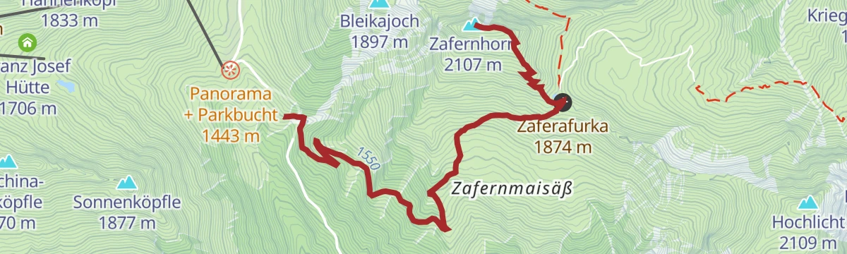
A round of the 2,107 m Zafernhorn from the Faschinajoch, the crossing between the Bregenzerwald and the Große Walsertal.
- 10.6 km
- Distance
- 676 m
- Ascent
- 4 h 36 min
- Duration
Open route Vorarlberg TourismusFaschina - Hochschere Fürkele - Buchboden
Over the Hochschere Fürkele to Buchboden — among the most demanding walks in the Große Walsertal.
- 15.8 km
- Distance
- 941 m
- Ascent
- 7 h 36 min
- Duration
Open route Alpenregion VorarlbergDamüls - Glatthorn
From Damüls at 1,434 m, 660 m of ascent over 2.9 km to Glatthorn.
- 2.6 km
- Distance
- 0 m
- Ascent
- 0 m
- Descent
- 38 min
- Duration
Open route PeakVisor tTRL (OpenStreetMap piste_type=skitour)Au-Schoppernau | Damülser-Runde
The Damüls round from Au, beginning with a steep pull above the Argenschlucht to the Argenvorsäß.
- 32.9 km
- Distance
- 1 336 m
- Ascent
- 4 h 10 min
- Duration
Open route Vorarlberg TourismusMittelberg - Türtsch
A winter walk on the cleared road out to the Mittelberg and Türtsch hamlets of Fontanella.
- 6.6 km
- Distance
- 222 m
- Ascent
- 2 h 6 min
- Duration
Open route Alpenregion VorarlbergDamüls | Über die Unterdamülser Alpe auf’s Glatthorn
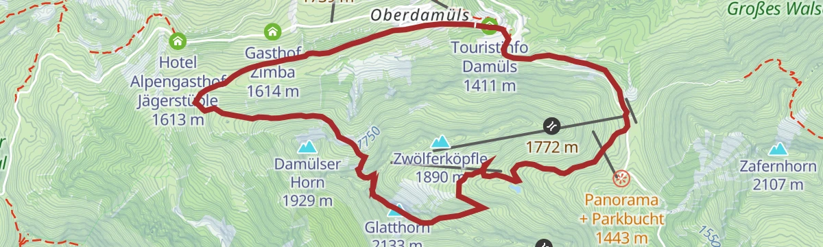
From the church village past the Alpe Unterdamüls and under the Damülser Horn to the 2,133 m Glatthorn.
- 11.3 km
- Distance
- 791 m
- Ascent
- 5 h 16 min
- Duration
Open route Vorarlberg TourismusWalserweg
The historic Walserweg: before there were roads in the Große Walsertal, these footpaths were what joined the villages.
- 20.0 km
- Distance
- 1 141 m
- Ascent
- 7 h 2 min
- Duration
Open route Alpenregion VorarlbergFaschina - Glatthorn
A ski tour from Faschina to Glatthorn, 642 m of climbing in 3.4 km to a high point of 2,107 m.
- 2.8 km
- Distance
- 0 m
- Ascent
- 0 m
- Descent
- 41 min
- Duration
Open route PeakVisor tTRL (OpenStreetMap piste_type=skitour)Au-Schoppernau | Zafernhorn-Runde
A ride above the Argenschlucht, one of the finest gorges in Vorarlberg, then over the Faschinajoch and the Zafernalpe.
- 29.4 km
- Distance
- 1 362 m
- Ascent
- 3 h 54 min
- Duration
Open route Vorarlberg TourismusZur Franz-Josef Hütte
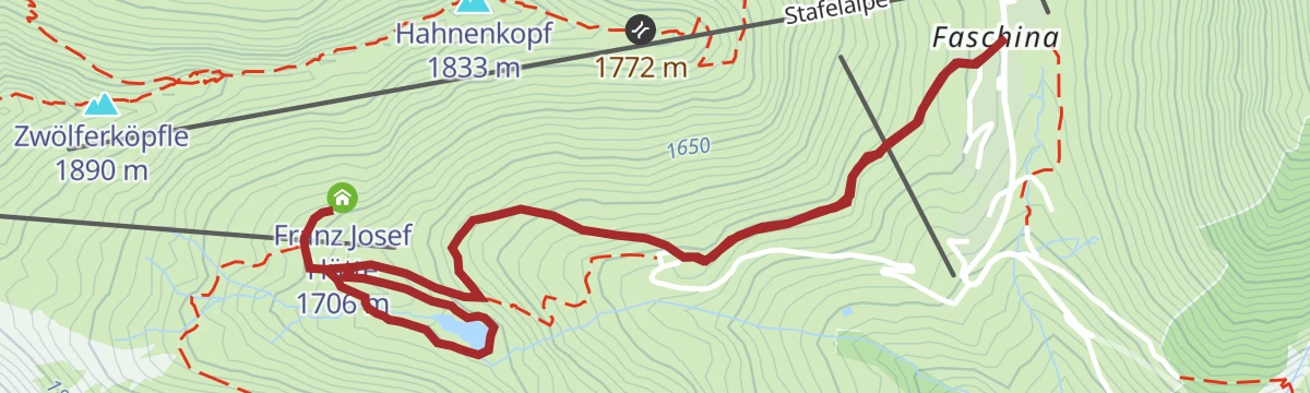
A short winter walk beside the piste to the Franz-Josef-Hütte in the Faschina ski area.
- 1.6 km
- Distance
- 52 m
- Ascent
- 30 min
- Duration
Open route Alpenregion VorarlbergFaschina
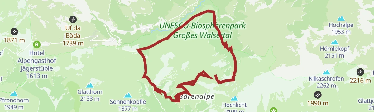
From the Faschinajoch by the Zafernmaisäß and the Bären Alpe to the Blasenka, and back the same way.
- 11.0 km
- Distance
- 732 m
- Ascent
- 4 h 57 min
- Duration
Open route Vorarlberg TourismusBike & Hike | Auf die Mittagspitze
The Damüls circuit by bike with the Mittagspitze added on foot at its highest point.
- 35.0 km
- Distance
- 1 682 m
- Ascent
- 4 h 44 min
- Duration
Open route Vorarlberg TourismusÜber den Stafelalpsee zur Franz-Josef-Hütte
An easy round by the Stafelalpsee to the Franz-Josef-Hütte.
- 4.5 km
- Distance
- 243 m
- Ascent
- 1 h 44 min
- Duration
Open route Alpenregion VorarlbergRundtour Faschina-Damüls-Faschina
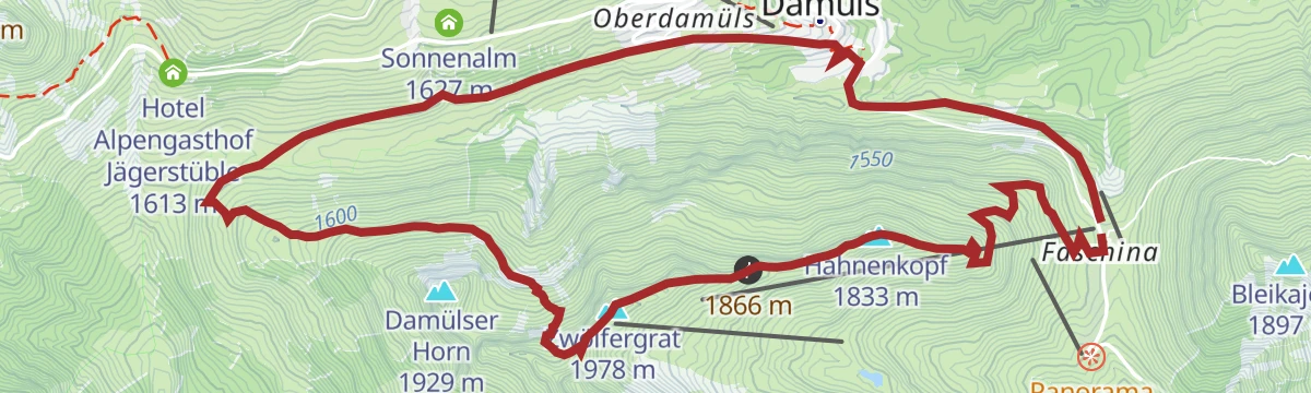
A round from the Faschinajoch over the Hahnenkopf and the Alpe Unterdamüls to Damüls and back.
- 11.1 km
- Distance
- 631 m
- Ascent
- 4 h 26 min
- Duration
Open route Alpenregion VorarlbergRund ums Zafernhorn
A demanding mountain-bike round of the Zafernhorn with a singletrail on the way back.
- 30.4 km
- Distance
- 1 728 m
- Ascent
- 4 h 37 min
- Duration
Open route Alpenregion VorarlbergSchaukelwanderweg
Two swings at two chosen places, between Faschina and the Seewaldsee in the biosphere reserve.
- 12.3 km
- Distance
- 630 m
- Ascent
- 5 h 10 min
- Duration
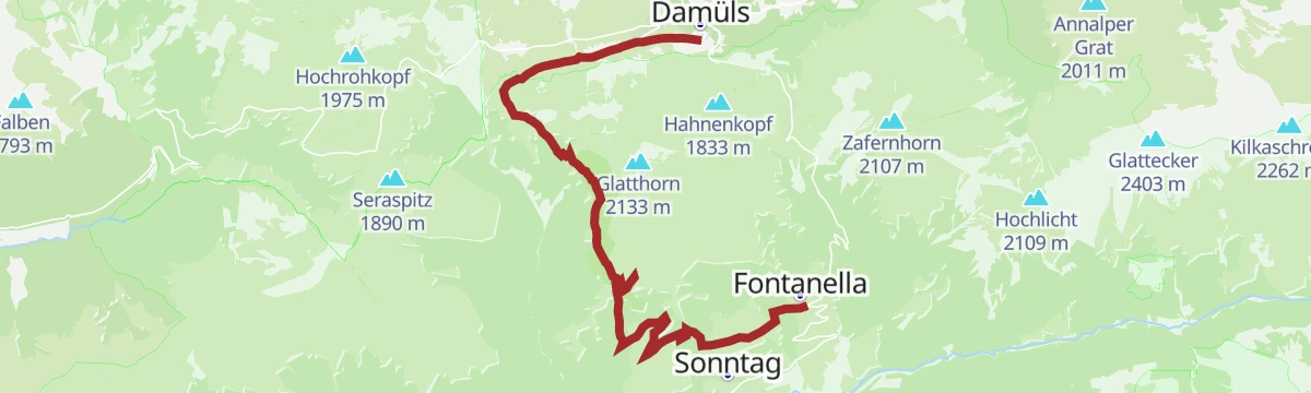
Open route Alpenregion VorarlbergTürtschalpe und Alpe Unterdamüls
From Fontanella by the Türtschalpe and the Alpe Unterdamüls across to the church village of Damüls.
- 13.2 km
- Distance
- 804 m
- Ascent
- 5 h 3 min
- Duration
Open route Alpenregion VorarlbergTürtschalpe und Alpe Unterdamüls | Damüls Fontanella
From Fontanella over the Türtschalpe, an open alp meadow with wide views, and down to the church village of Damüls.
- 13.2 km
- Distance
- 804 m
- Ascent
- 5 h 3 min
- Duration
Open route Vorarlberg TourismusZafernhorn 2.107 m
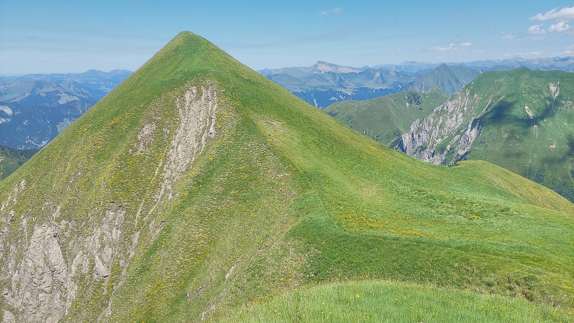
Round the Zafernhorn and up it, at 2,107 m the landmark of Faschina.
- 9.5 km
- Distance
- 695 m
- Ascent
- 4 h 34 min
- Duration
Open route Alpenregion VorarlbergÜber die Fatnella Alpe nach Fontanella
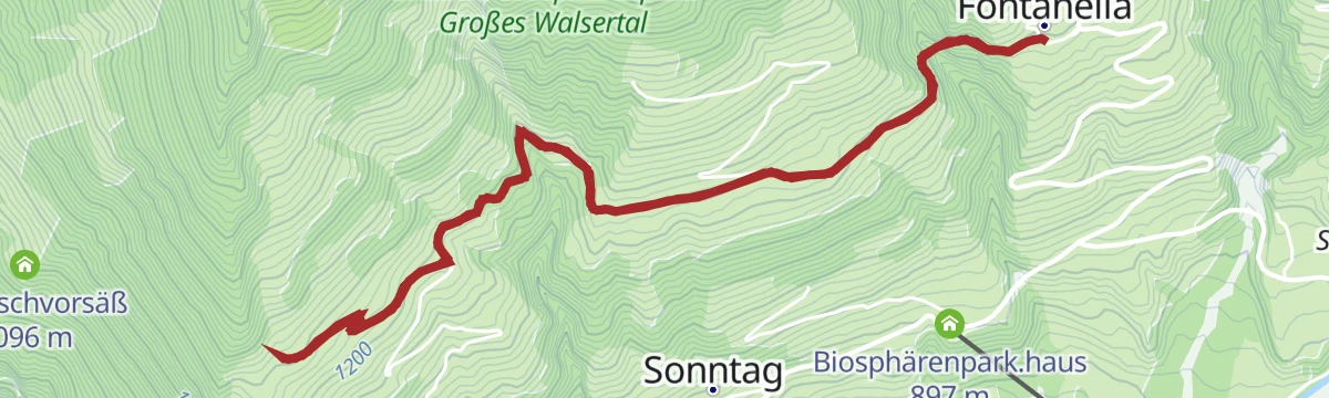
An unhurried descent from Faschina by the Fatnella Alpe down to Fontanella.
- 7.5 km
- Distance
- 486 m
- Ascent
- 3 h 56 min
- Duration
Open route Alpenregion Vorarlberg









No routes of this kind in Fontanella yet.
Planning a trip to Fontanella?
Everything else Vorarlberg has, in one place


Take Fontanella with you into the mountains
Every route on this page with 3D terrain, GPX navigation and offline maps — including the valleys with no signal.
Data sources
- Official website: www.damuels.at ↗
- Routes and highlights: Alpenregion Vorarlberg, PeakVisor / OpenStreetMap, Vorarlberg Tourismus, PeakVisor tTRL (OpenStreetMap piste_type=skitour), Bregenzerwald Tourismus
- Published as open data by the tourist boards named above.
- Region summary generated from the board's own material.
