
 Mountain hut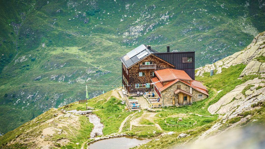
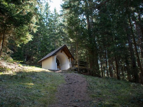
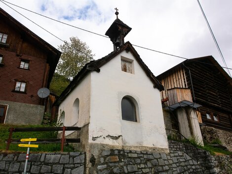
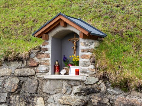
 Historic site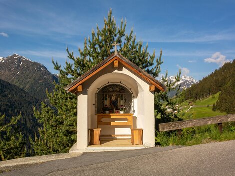






Curated by St. Anton am Arlberg
Flirsch
A village strung along the Rosanna in the Stanzertal at 1154 m, between Landeck and St. Anton, below the Ansbacher Hütte in the Lechtal Alps.
- 1Highlights
- 24Routes
- Featured summit · Dawinkopf
Highlights
14 from neighbouring places
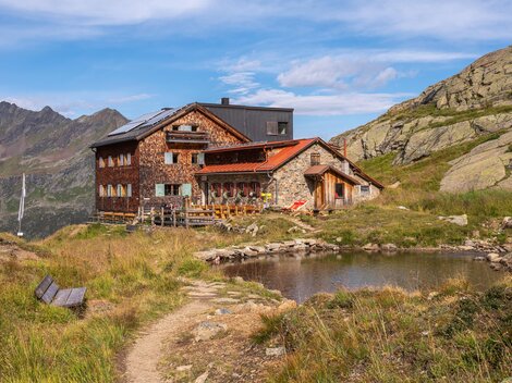
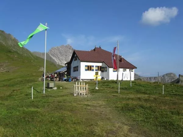
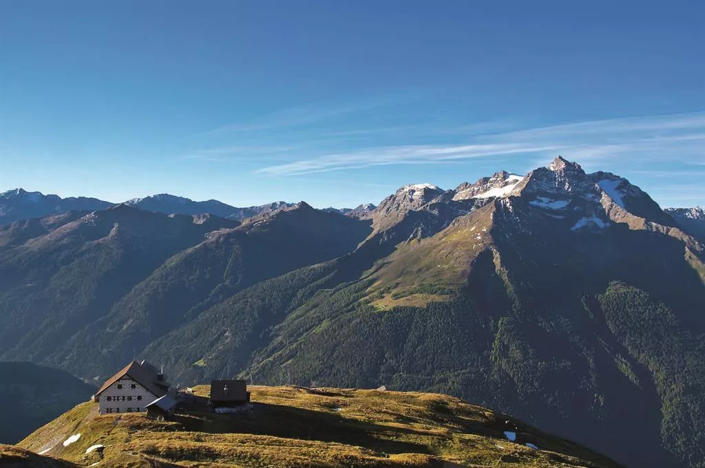
Ansbacherhütte 2.376 m
A refuge at 2,376 m on the Lechtaler Höhenweg high route, reached from the Stanzertal side near Grins and serving regional dishes.
Klettergarten Edmund-Graf-Hütte
5.6 km away, in Pettneu am Arlberg
The climbing garden beside the Edmund-Graf-Hütte, with short walls of 15 to 32 m at easy to moderate grades.
Edmund-Graf Hütte
6 km away, in Pettneu am Arlberg
An Alpine Club hut above Pettneu am Arlberg in the Verwall group, the main base for the ascent of the Hoher Riffler.
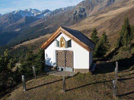
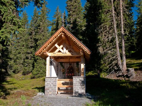
Josefskapelle Langestheier Alm
6.3 km away, in Kappl
A chapel of St. Joseph on the Langestheier Alm, the pasture above the hamlet of Langesthei near Kappl, used during the alpine summer.
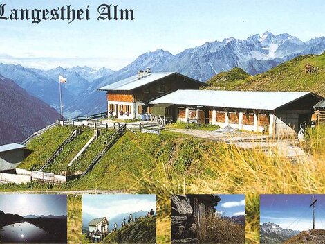
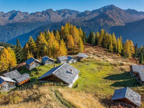
Langesthei Alpe
6.3 km away, in Kappl
An alpine pasture above the hamlet of Langesthei near Kappl, reached on foot through the side valleys of the Paznaun and worked as a summer grazing station.
Hubertuskapelle in Spidur
6.7 km away, in Kappl
A chapel of St. Hubert, patron of hunters, at Spidur above Kappl, reflecting the long hunting tradition of the Paznaun's side valleys.
Durrichalpe
6.7 km away, in Kappl
An alpine pasture in the mountains above the lower Paznaun near Kappl, a destination on the valley's walking network.
Kaiserjochhaus 2.310 m
7 km away, in Pettneu am Arlberg
A refuge at 2,310 m on the Kaiserjoch saddle above Kaisers, linking the Lechtal with the Stanzertal on the Lechtaler Höhenweg.
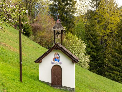
Marienkapelle in Rauth
7.1 km away, in Kappl
A Marian chapel in the hamlet of Rauth above See, part of the dense network of small chapels along the Paznaun's old farm paths.
Kapfkapelle (St. Josef) in Innerstockach
7.1 km away, in Kappl
The Kapf chapel of St. Joseph in Innerstockach near Kappl, standing on a small knoll — the meaning of Kapf — above the Paznaun valley.
Kapelle in Glitt
7.2 km away, in Kappl
A small chapel in Glitt, a hamlet on the mountainside above See, reached by the narrow lanes of the lower Paznaun valley.
Bildstock Innerlangesthei
7.3 km away, in Kappl
A wayside shrine in Innerlangesthei, a scattered hamlet on the slope above the Paznaun valley near Kappl.
Wegkapelle in Stockach
7.3 km away, in Kappl
A wayside chapel in Stockach near Kappl, a modest devotional building on the route between the hamlets above the Paznaun.
Pfarrkirche Langesthei
7.3 km away, in Kappl
The parish church of Langesthei, a high-lying hamlet of Kappl in the Paznaun valley, serving the small farming community around it.
Wegkapelle in Seiche
7.4 km away, in Kappl
A wayside chapel at Seiche above See in the Paznaun valley, a small devotional marker on the old paths between the hamlets.
Nothing of this kind in Flirsch.
Routes
Flirsch in alten Ansichten
A gentle circuit through Flirsch that pairs the walk with historic photographs of the village, comparing old views with today's Stanzertal scenery.
- 4.5 km
- Distance
- 215 m
- Ascent
- 1 h 36 min
- Duration
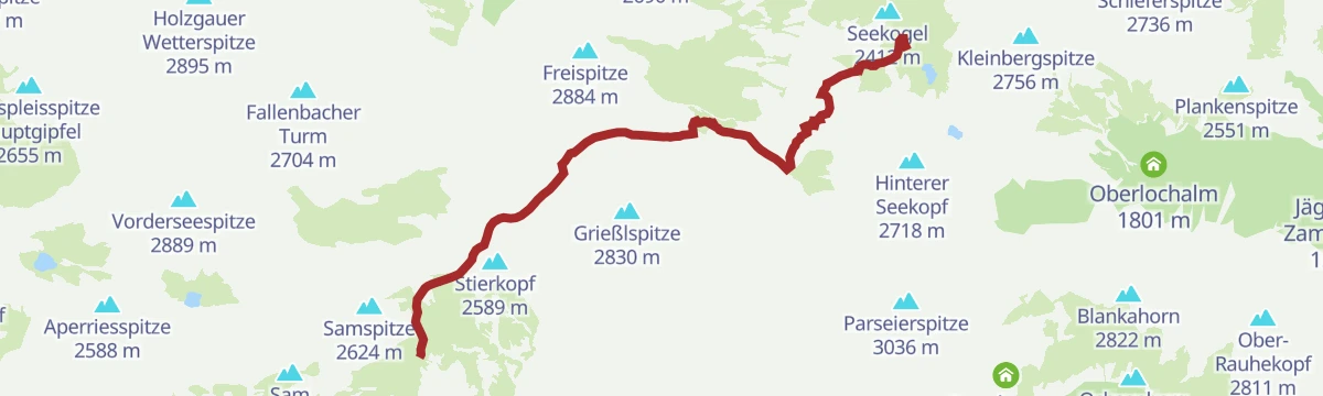
Ansbacher Hütte - Kaiserjochhaus
Lechtaler Höhenweg stage from the Ansbacher Hütte over the Flarschjoch and Hinterseejoch to the Kaiserjochhaus at 2,310 m, with secured passages across steep flanks.
- 8.3 km
- Distance
- 405 m
- Ascent
- 3 h 7 min
- Duration
- 14
- Check-ins
Jakobsweg - Strengen -Flirsch – Schnann – Pettneu – St. Jakob – St. Anton - Mooserweg - St. Christoph (Umleitung Zintlkopf)
A 29 km pilgrimage stage through the Stanzertal villages — Strengen, Flirsch, Schnann, Pettneu and St. Jakob — before climbing via the Mooserweg to St. Christoph; a diversion currently avoids the Zintlkopf.
- 29.8 km
- Distance
- 1 582 m
- Ascent
- 11 h 22 min
- Duration
- 68
- Check-ins
Flirsch - Hoher Riffler
The full climb from Flirsch to the Hoher Riffler, 2,053 m of ascent in 11.2 km from the valley floor at 1,123 m to 3,148 m.
- 9.9 km
- Distance
- 0 m
- Ascent
- 0 m
- Descent
- 2 h 24 min
- Duration
Open route PeakVisor tTRL (OpenStreetMap piste_type=skitour)St. Anton - Kaunertaler Gletscher - St. Anton
A 104 km road ride from the Arlberg across to the Kaunertal and up the glacier road to 2,750 m, over 4,000 m of climbing in the day.
- 156.4 km
- Distance
- 4 157 m
- Ascent
- 17 h 48 min
- Duration
- 86
- Check-ins
Kapellenrundwanderweg
An easy circuit connecting village chapels in the Stanzertal near St. Anton — gentle grades, farmland scenery and plenty of places to pause.
- 5.1 km
- Distance
- 211 m
- Ascent
- 1 h 43 min
- Duration
Ansbacher Hütte - Memminger Hütte
Hut-to-hut stage crossing the Kopfscharte, Winterjöchl and Grießlscharte, dropping into the Parseiertal before the final pull up to the Memminger Hütte, one of the largest refuges in the Lechtaler Alpen.
- 10.0 km
- Distance
- 861 m
- Ascent
- 5 h 44 min
- Duration
- 12
- Check-ins
Ansbacher Hütte - Augsburger Hütte
The Lechtaler Höhenweg's toughest stage: over the Winterjöchl and the Parseierscharte, where a bivouac box stands, then across the Dawinscharte and the 2,968 m Dawinkopf to the Augsburger Hütte.
- 11.2 km
- Distance
- 1 010 m
- Ascent
- 6 h 31 min
- Duration
- 15
- Check-ins
St. Anton - Landeck - Pians - Tobadill - St. Anton
A long road loop from the Arlberg down the Stanzertal to Landeck and back up, with the climbing saved for the return.
- 60.4 km
- Distance
- 1 430 m
- Ascent
- 6 h 42 min
- Duration
- 39
- Check-ins
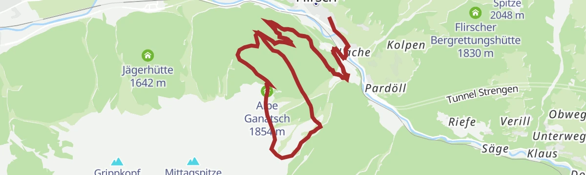
Schnann - Ganatschalm
A climb from Schnann to the Alpe Ganatsch, a working alp tucked into the Lechtal side of the Stanzertal — steady grades and a quiet pasture finish.
- 6.5 km
- Distance
- 688 m
- Ascent
- 4 h 12 min
- Duration
- 1
- Check-ins
Memminger Hütte - Ansbacher Hütte
A stage of notches and ravines — down into the Parseiertal, back up through the Langkar to the Grießlscharte, over the Winterjöchl and Kopfscharte and finally south to the Ansbacher Hütte.
- 10.0 km
- Distance
- 981 m
- Ascent
- 5 h 49 min
- Duration
- 12
- Check-ins
St. Anton - Strenger Berg - Strengen - St. Anton
A road circuit starting in St. Anton am Arlberg, losing height down the valley before a long climb back up to the village.
- 43.1 km
- Distance
- 973 m
- Ascent
- 4 h 45 min
- Duration
- 39
- Check-ins
Bergwaldweg Wanderung
Forest trail climbing above Flirsch to the Fritzhütte, following the wooded slopes of the Stanzertal before looping back down to the village.
- 8.4 km
- Distance
- 760 m
- Ascent
- 4 h 46 min
- Duration
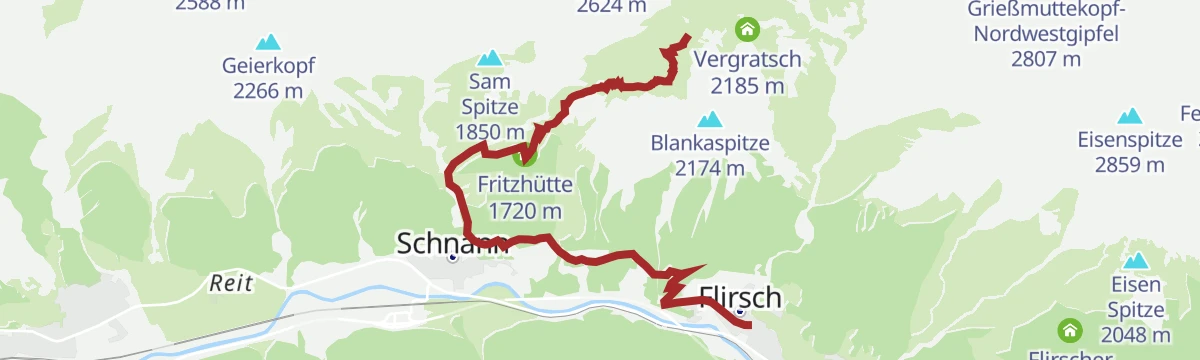
Flirsch - Fritzhütte - Ansbacher Hütte
Steep direct ascent from Flirsch in the Stanzertal, gaining over 1,200 m past the Fritzhütte to reach the Ansbacher Hütte high in the Lechtaler Alpen.
- 5.9 km
- Distance
- 1 251 m
- Ascent
- 6 h 55 min
- Duration
- 4
- Check-ins
Bike & Hike Flirsch - Strengen - Dawinalm - Grosser See - Flirscher Skihütte - Flirsch
A climb on the alm road above the Stanzertal to the huts at around 1,850 m, with a walk on to the lake and viewpoint at 2,010 m.
- 25.1 km
- Distance
- 1 224 m
- Ascent
- 3 h 26 min
- Duration
- 2
- Check-ins
Flirsch - Egger Weiher - Strengen
A valley-side walk from Flirsch past the small Egger Weiher ponds down the Stanzertal to Strengen, moderate going on forest and meadow paths.
- 7.4 km
- Distance
- 336 m
- Ascent
- 2 h 34 min
- Duration
 Kleiner Egger Weiher 1 377 m
- Egger Weiher 1 378 m
Flirsch - Schnanner Klamm - Fritzhütte - Ansbacher Hütte
From Flirsch through the Schnanner Klamm gorge and past the Fritzhütte, then steeply up to the Ansbacher Hütte perched high above the Stanzertal.
- 7.1 km
- Distance
- 1 354 m
- Ascent
- 7 h 35 min
- Duration
- 4
- Check-ins
Arlberg Runde
A 67.7 km ride from Landeck through the Stanzertal villages to St. Anton, returning along the Rosanna on a mostly downhill road.
- 55.4 km
- Distance
- 591 m
- Ascent
- 5 h 28 min
- Duration
Open route Tirol WerbungFlirsch - Fritzhütte
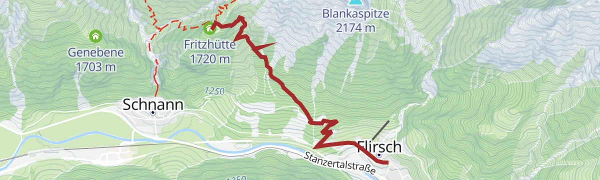
Short, sharp climb from Flirsch to the Fritzhütte, gaining nearly 600 m in 3.5 km on the lower slopes of the Lechtaler Alpen.
- 3.6 km
- Distance
- 589 m
- Ascent
- 3 h 21 min
- Duration
Flirsch - Schnanner Klamm - Fritzhütte - Ansbacher Hütte - Flirsch
A demanding circuit from Flirsch through the Schnanner Klamm and past the Fritzhütte to the Ansbacher Hütte, descending via Vergratsch and the Maschniederleg back to the valley.
- 11.5 km
- Distance
- 1 354 m
- Ascent
- 8 h 6 min
- Duration
- 4
- Check-ins
Flirscher Stollen
Moderate half-day circuit on the slopes above Flirsch, mixing forest paths and open mountainside with steady rather than steep climbing over the Stanzertal.
- 11.1 km
- Distance
- 665 m
- Ascent
- 4 h 37 min
- Duration
Schnann - Fritzhütte - Ansbacher Hütte - Flirsch
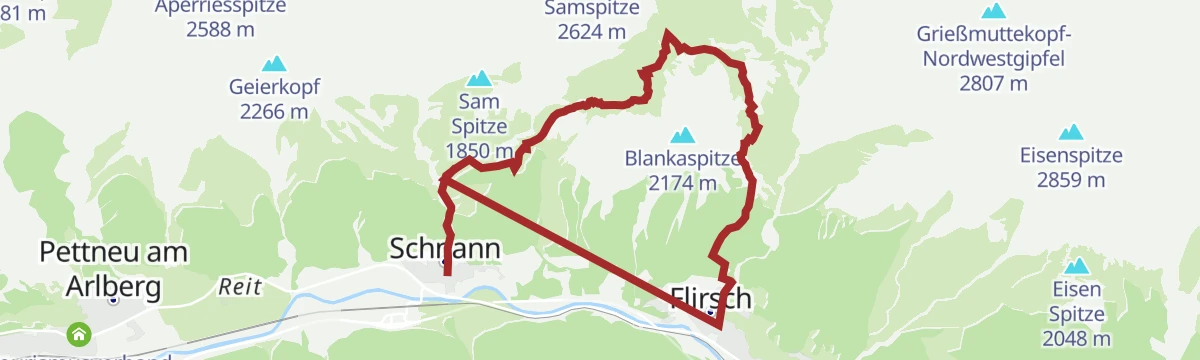
A steep route from Schnann past the Fritzhütte to the Ansbacher Hütte in the Lechtaler Alpen, with the descent running down over the Maschniederleg to Flirsch.
- 11.4 km
- Distance
- 1 481 m
- Ascent
- 8 h 43 min
- Duration
- 4
- Check-ins
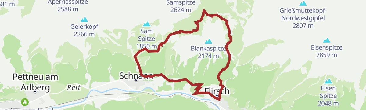
Flirsch - Mösli - Ganatschalm - Gsellaplon - Flirsch
Long circuit from Flirsch taking in Mösli, the Ganatschalm and Gsellaplon on mountainside paths above the Stanzertal, with a rest stop at the Alpe Ganatsch.
- 15.2 km
- Distance
- 944 m
- Ascent
- 6 h 29 min
- Duration
- 1
- Check-ins
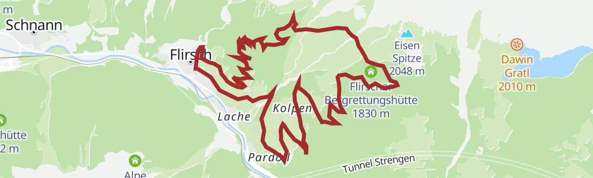
Flirsch - Große Baumwiesen - Flirscher Skihütte -Kolpen - Flirsch
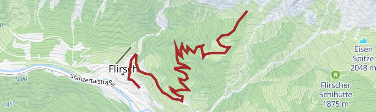
Full-day loop from Flirsch over the Große Baumwiesen meadows to the Flirscher Schihütte, returning through Kolpen on the sunny side of the Stanzertal.
- 15.4 km
- Distance
- 944 m
- Ascent
- 6 h 30 min
- Duration
No routes of this kind in Flirsch yet.
The region's own picks

Featured route
Flirsch in alten Ansichten
A gentle circuit through Flirsch that pairs the walk with historic photographs of the village, comparing old views with today's Stanzertal scenery.
Planning a trip to Flirsch?
Everything else Tyrol has, in one place


Take Flirsch with you into the mountains
Every route on this page with 3D terrain, GPX navigation and offline maps — including the valleys with no signal.
Data sources
- Official website: stantonamarlberg.com ↗
- Routes and highlights: St. Anton am Arlberg, TVB Paznaun-Ischgl, Lechtal Tourismus, Tirol Werbung, PeakVisor tTRL (OpenStreetMap piste_type=skitour)
- Published as open data by the tourist boards named above.
- Region summary generated from the board's own material.
