
 Cable car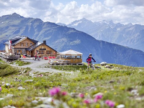
 Viewpoint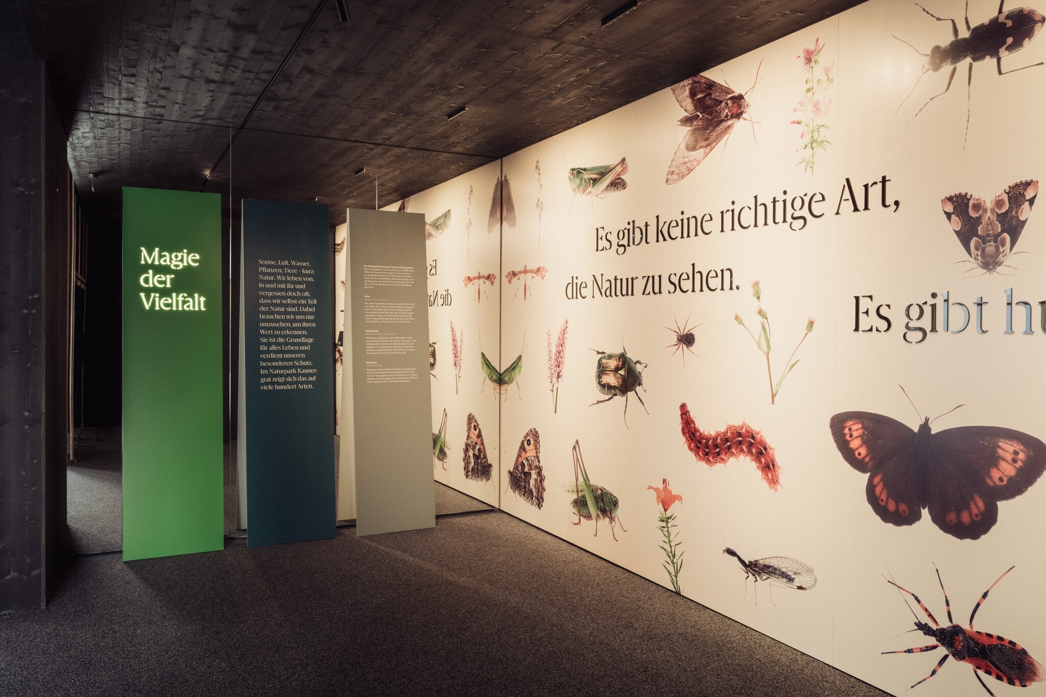
 Historic site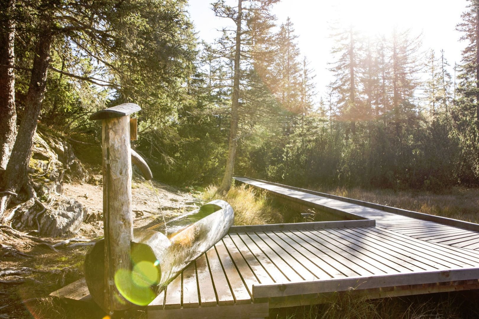


















Curated by Serfaus-Fiss-Ladis
Fiss
A sun-terrace village at 1438 m high above the upper Inn, sharing the family-oriented Serfaus-Fiss-Ladis ski area, with old Oberland farmhouses at its core.
- 15Highlights
- 110Routes
- Featured summit · Lazidkopf
Highlights
All 15 from neighbouring places
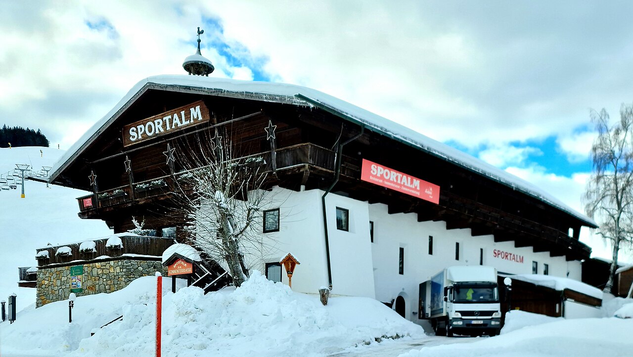
Sportalm
4.4 km away, in Serfaus
A mountain hut and restaurant in the Komperdell ski sector above Serfaus, in the Serfaus-Fiss-Ladis area of Tirol.
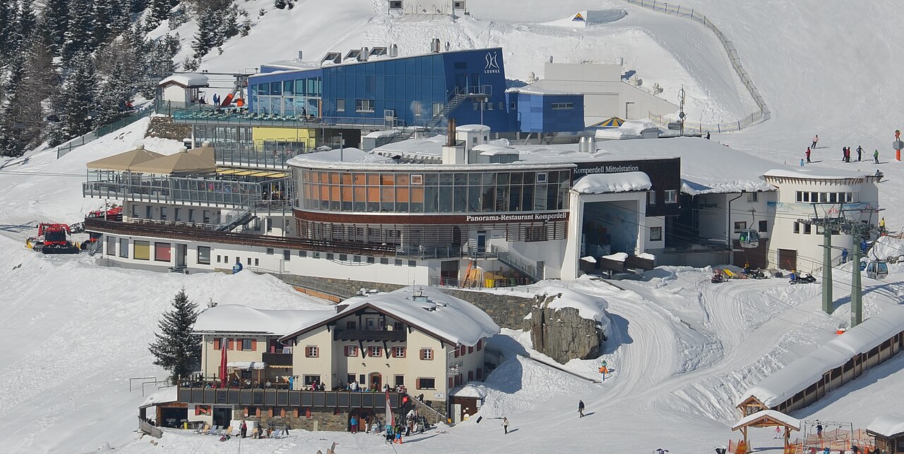
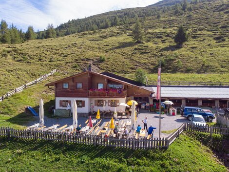
Kölner Haus
4.5 km away, in Serfaus
A mountain hut of the Cologne Alpine Club section on the Komperdell above Serfaus, reachable by lift and a base for walks.
Café Obladis
4.6 km away, in Ladis
A café at Obladis, the hamlet in the woods above Ladis known for its old mineral spring, at the quiet edge of Serfaus-Fiss-Ladis.
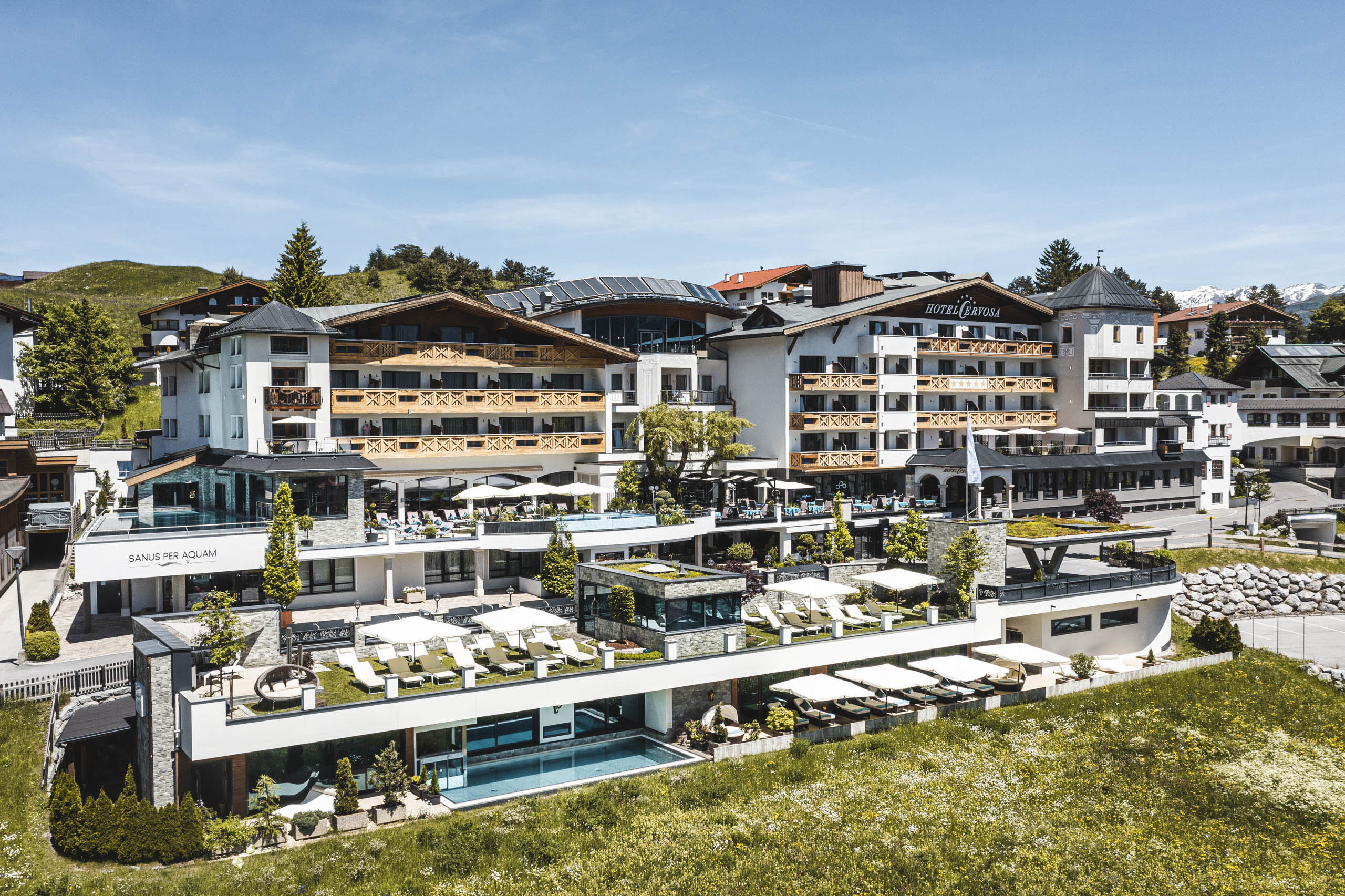
Hugo's Cervosa Alm
4.8 km away, in Serfaus
A mountain hut in the Komperdell sector above Serfaus run under the Cervosa name, serving skiers and walkers through the seasons.
Lazidbahn
5 km away, in Serfaus
A gondola in the Serfaus lift network rising to the Lazid ridge above the village, giving access to the high walking trails.
Ascher Hütte
6 km away, in Kappl
A mountain hut in the Samnaun group above the village of See at 1,056 m, a full-day walking destination in the lower Paznaun.
H2O Adventure
6 km away, in Ried im Oberinntal
A canyoning gorge near Ried im Oberinntal used for guided tours, with pools, slides and abseils in the rock channel.
Canyoning mit H2O Adventure
6.1 km away, in Ried im Oberinntal
Guided canyoning with H2O Adventure from St. Anton am Arlberg, abseiling and sliding through water-carved alpine gorges.
Rafting mit H2O Adventure
6.1 km away, in Ried im Oberinntal
A rafting programme run by H2O Adventure from St. Anton am Arlberg, taking boats down the whitewater of nearby alpine rivers.
Versing Alm
6.6 km away, in Kappl
An alpine pasture above the village of See in the Paznaun valley, where a small hut serves refreshments during the summer grazing months.
Gondakappali
7.7 km away, in Tobadill
A tiny chapel at Gonda near Pians in the lower Paznaun valley, typical of the small dialect-named 'Kappali' found beside farmsteads here.
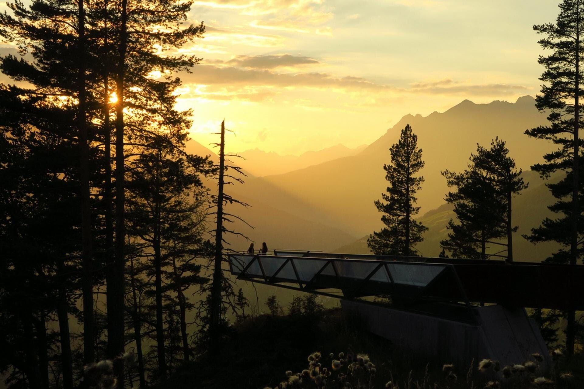
Aussichtsplattform Gacher Blick
7.7 km away, in Fließ
A barrier-free viewing platform on the Piller saddle, projecting over the slope above the Inn valley.
Ausstellung Magie der Vielfalt
7.8 km away, in Fließ
An exhibition at the Piller saddle on the biological diversity of the Kaunergrat nature park.
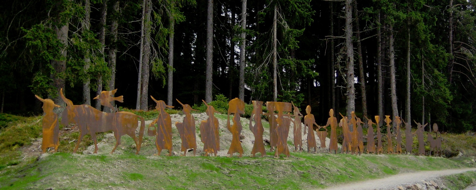
Brandopferplatz Piller Sattel
7.8 km away, in Fließ
A prehistoric burnt-offering site on the Piller saddle, in use from the Bronze Age into the Roman period.
Piller Moor
8 km away, in Fließ
A raised bog on the Piller saddle at about 1,500 m, a protected relic of the post-glacial landscape.
Nothing of this kind in Fiss.
Routes
50 routes, an even mix of activities · see the rest on serfaus-fiss-ladis.at ↗
Quellenweg
Nearly level spring-themed path on the Komperdell above Serfaus, wandering out from the Kölner Haus across plateau meadows where the water sources are signposted.
- 5.6 km
- Distance
- 0 m
- Ascent
- 1 h 43 min
- Duration
- 103
- Check-ins
Fisser Joch zum Lazid
High connection from the Fisser Joch across the plateau to the Lazid top station, passing the Furglersee tarn with the Bergrestaurant Lassida at the finish.
- 10.4 km
- Distance
- 393 m
- Ascent
- 3 h 25 min
- Duration
- 124
- Check-ins
Urgtal vom Komperdell
Long loop from the Komperdell lifts above Serfaus, swinging through the lonely Urgtal and back past the Schöngampalm and the Zirbenhütte - 20 km of high trail.
- 20.3 km
- Distance
- 1 226 m
- Ascent
- 8 h 29 min
- Duration
- 124
- Check-ins
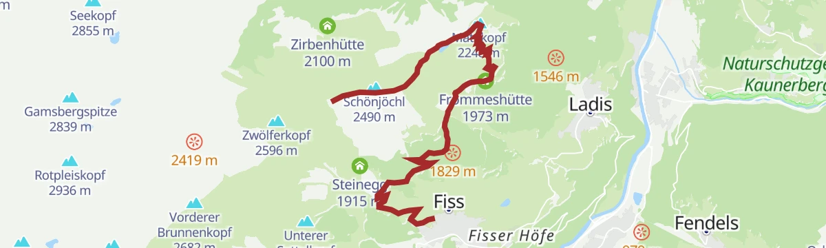
Route 2 - Steinegg
Marked ski-touring line via Steinegg and the Kuhalm on the Fiss side, a moderate uphill track within the resort's designated touring network.
- 5.1 km
- Distance
- 474 m
- Ascent
- 474 m
- Descent
- 1 h 52 min
- Duration
- 14
- Check-ins
Route 1a - Frommes/Ladis
Longest branch of the Frommes touring routes, climbing more than 1,250 m from Ladis past the Frommesalp to the Frommeshütte high above the villages.
- 8.2 km
- Distance
- 1 267 m
- Ascent
- 1 267 m
- Descent
- 4 h 19 min
- Duration
- 7
- Check-ins
Jochtrail 7115
A long, easy descent from the Fisser Joch at 2,434 m over the Mittlerer Sattelkopf down to the Kölner Haus.
- 5.8 km
- Distance
- 24 m
- Ascent
- 32 min
- Duration
- 103
- Check-ins
Zirbentrail 7083
A gravity descent from the 12-er Bahn at 2,533 m, dropping past the Zirbenhütte and on to the Schöngampalm above Fiss.
- 9.1 km
- Distance
- 14 m
- Ascent
- 49 min
- Duration
- 111
- Check-ins
Schönjoch Tour 7101
A long climb from Fiss to the ridge at 2,491 m by the reservoir, then the descent past the Schöngampalm and Steinegg.
- 36.4 km
- Distance
- 1 535 m
- Ascent
- 4 h 40 min
- Duration
- 150
- Check-ins
Finesweg - beleuchteter Radweg
A short lit cycle path on the edge of Fiss, rideable after dark and gentle enough for an evening family spin.
- 2.2 km
- Distance
- 31 m
- Ascent
- 13 min
- Duration
Serfaus-Fiss-Ladis Runde
A short but steep circuit on the terrace high above the Oberinntal, linking the three villages by way of the pond at Überwasser.
- 14.8 km
- Distance
- 533 m
- Ascent
- 1 h 49 min
- Duration
- 5
- Check-ins
 Geigaloch Apres Ski 1 216 m
- Infobüro Fiss 1 189 m
 Weiher Überwasser 1 276 m
Kaunertaler Gletscher Runde
A hard road circuit up the Kaunertal glacier road to 2,750 m, one of the highest paved climbs in Tirol.
- 98.7 km
- Distance
- 3 000 m
- Ascent
- 11 h 35 min
- Duration
- 60
- Check-ins
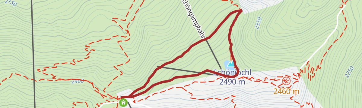
Schönjöchl Rundweg
Short summit loop at the top of the Schöngampbahn, circling past the Speichersee to the 2,500 m Schönjoch viewpoint above Fiss.
- 2.5 km
- Distance
- 86 m
- Ascent
- 48 min
- Duration
- 96
- Check-ins
 Schönjöchl 2 490 m
 Fisser Joch 2 434 m
- BergDiamant 2 435 m
- Bergstation Schöngampbahn 2501m 2 491 m
- Speichersee Schönjoch 2 491 m
- Schönjoch 2 493 m
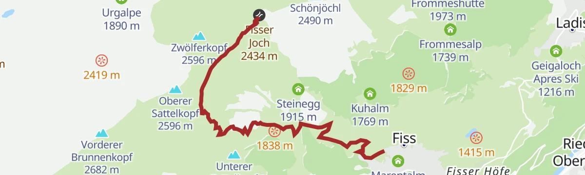
Fisser Joch über Leithe Wirt nach Fiss
Descending panorama route from the Fisser Joch by way of the Leithe Wirt and the Komperdell restaurants back to Fiss, with the lifts doing the climbing.
- 11.5 km
- Distance
- 63 m
- Ascent
- 2 h 51 min
- Duration
- 119
- Check-ins
Frommes Alp zum Schönjöchl
From the Frommesalp above Ladis a sustained climb to the Schönjoch crest at 2,500 m - over 1,000 m of ascent finishing at the Schöngampbahn top station.
- 9.8 km
- Distance
- 1 066 m
- Ascent
- 6 h 27 min
- Duration
- 104
- Check-ins
Route 4 - Sattelkopf
Punchier marked route to the Sattelkopf, packing nearly 500 m of climbing into 2.3 km on the way up to the Sunliner top station.
- 2.3 km
- Distance
- 484 m
- Ascent
- 484 m
- Descent
- 1 h 33 min
- Duration
- 14
- Check-ins
Route 1 - Frommes
Backbone of the resort's touring network: a 1,000 m ascent from Fiss to the Frommeshütte via the Frommesalp, with a piste descent to close the loop.
- 6.9 km
- Distance
- 1 009 m
- Ascent
- 1 009 m
- Descent
- 3 h 29 min
- Duration
- 4
- Check-ins
Emmerich-Pale-Weg 7076
A lift-served descent from the Fisser Joch, dropping past the Zirbenhütte to the Schöngampalm above Fiss.
- 5.5 km
- Distance
- 4 m
- Ascent
- 30 min
- Duration
- 79
- Check-ins
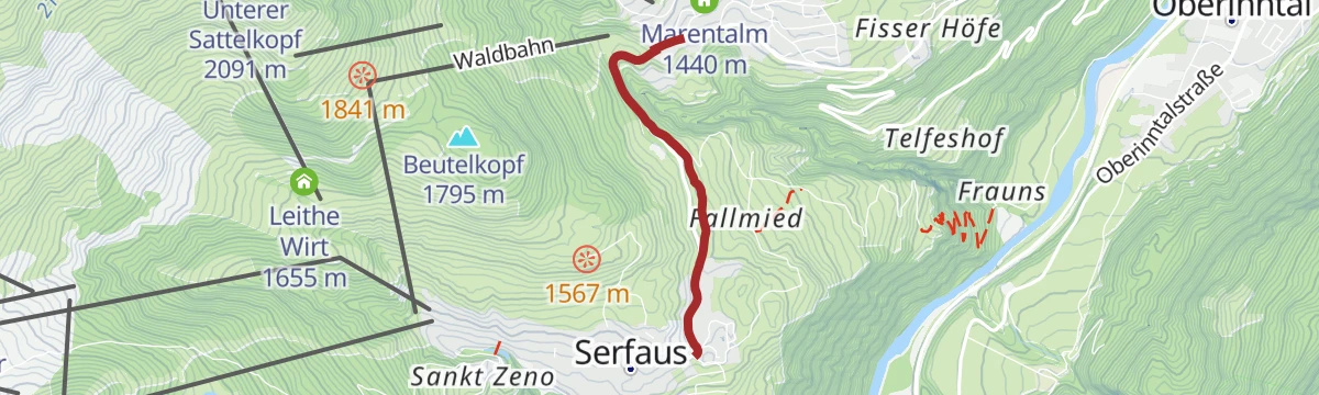
Beutlkopf Tour 7112
A climb from Serfaus at 1,436 m to the Möseralm at 1,810 m, passing the Marentalm and Leithe Wirt on the way up.
- 12.1 km
- Distance
- 556 m
- Ascent
- 1 h 36 min
- Duration
- 42
- Check-ins
Fisserjoch Enduro Tour 730
An enduro round from Fiss to the pass at 2,434 m below the Zwölferkopf, descending by the Zirbenhütte and the Schöngampalm.
- 30.6 km
- Distance
- 1 228 m
- Ascent
- 3 h 52 min
- Duration
- 148
- Check-ins
Norbertshöhe Tour
A road circuit over the Norbertshöhe and the Finstermünz pass, past the Via Claudia reservoir.
- 77.4 km
- Distance
- 2 163 m
- Ascent
- 8 h 54 min
- Duration
- 39
- Check-ins
Goldener-Mann-Weg
Short path from the Fisser Joch up the Zwölferkopf to a gilded summit statue and the mirrored Crystal Cube viewpoint platform.
- 1.2 km
- Distance
- 144 m
- Ascent
- 35 min
- Duration
- 94
- Check-ins
Fiss über Kuhalm
Lift-assisted traverse from the Schönjoch crest down over the Kuhalm to Fiss, passing the Speichersee - long on scenery, short on climbing.
- 11.5 km
- Distance
- 124 m
- Ascent
- 3 h
- Duration
- 116
- Check-ins
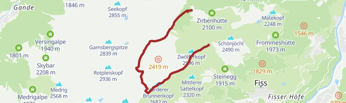
Fisser Joch über Urgtalweg
Urgtal horseshoe finishing at the Fisser Joch: past the Schöngampalm to the Urgsee and the Urgalpe, then up over the Brunnenjoch to the ridge.
- 9.5 km
- Distance
- 943 m
- Ascent
- 5 h 48 min
- Duration
- 91
- Check-ins
Route 1 - Waldbahn
Forest-line touring route beside the Waldbahn in Serfaus, a moderate 400 m climb on a marked track up to the Sunliner top station.
- 4.2 km
- Distance
- 424 m
- Ascent
- 424 m
- Descent
- 1 h 37 min
- Duration
- 5
- Check-ins
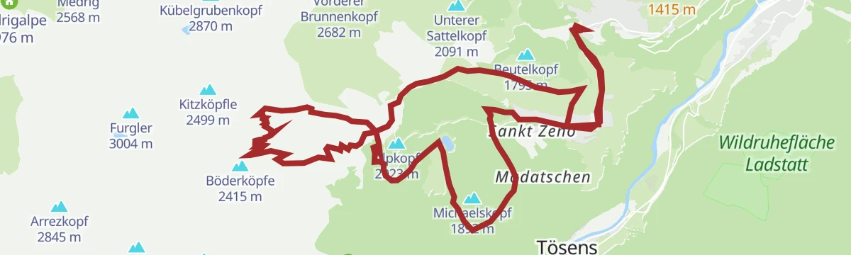
Pistenskitouren Serfaus-Fiss-Ladis
Grand link-up of the marked piste touring routes across Serfaus, Fiss and Ladis - more than 2,000 m of skinning for a full winter fitness day.
- 22.5 km
- Distance
- 2 084 m
- Ascent
- 2 084 m
- Descent
- 8 h 13 min
- Duration
- 3
- Check-ins
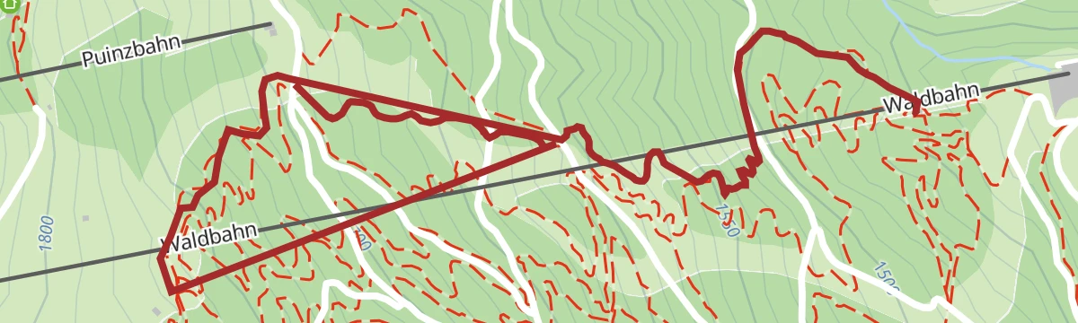
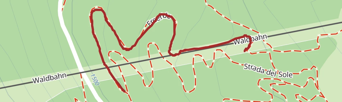
Downhill
A short lift-served descent at Fiss, running from the Puinzbahn top station down to the Waldbahn in the woods below.
- 2.3 km
- Distance
- 154 m
- Ascent
- 35 min
- Duration
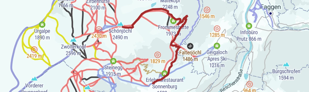
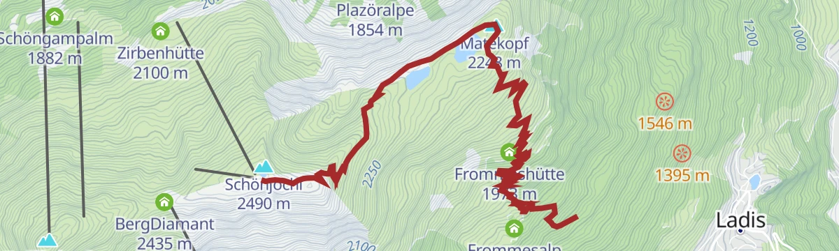
Frommestrail 7077
A descent from the Schönjoch top station at nearly 2,500 m, passing the reservoir up there and dropping to the Frommeshütte.
- 9.3 km
- Distance
- 36 m
- Ascent
- 51 min
- Duration
- 30
- Check-ins
- Matekopf 2 248 m
- Frommeskreuz 2 247 m
- Frommes 2 248 m
- Bergstation Schöngampbahn 2501m 2 491 m
- Speichersee Schönjoch 2 491 m
- Schönjoch 2 493 m
- +1
Fisserjoch Tour 730
A long climb-and-descend day above Fiss, topping out by the Crystal Cube at 2,585 m before the run back past Madame Cocos.
- 31.2 km
- Distance
- 1 366 m
- Ascent
- 4 h 4 min
- Duration
- 148
- Check-ins
Piller Runde
A long road loop over the Pillerhöhe, dropping to Prutz in the Inn valley and climbing again to Fiss, with over 2,000 m of ascent.
- 83.9 km
- Distance
- 2 090 m
- Ascent
- 9 h 25 min
- Duration
- 33
- Check-ins
Zwölferkopf (2.596 m)
Easy high-alpine walk from the Fisser Joch to a 2,596 m viewpoint summit, passing the BergDiamant with the Crystal Cube near the top.
- 3.2 km
- Distance
- 203 m
- Ascent
- 1 h 23 min
- Duration
- 94
- Check-ins
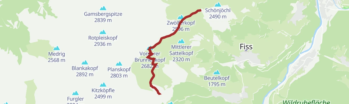
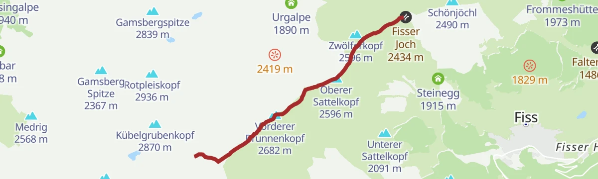
Gratwanderung
Ridge walk from the Komperdell over the Sattelkopf summits to the Vorderer Brunnenkopf, tracing the crest between Serfaus and the Urgtal.
- 6.6 km
- Distance
- 749 m
- Ascent
- 3 h 37 min
- Duration
- 111
- Check-ins
Fiss zum Fisser Joch
The straight-up hike from Fiss village to the ridgeline joch, passing Steinegg, the Kuhalm and the Wonnealm on a 1,000 m ascent.
- 9.4 km
- Distance
- 1 004 m
- Ascent
- 6 h 6 min
- Duration
- 90
- Check-ins
Route 1a - Hotel Bär/Waldbahn
Variant start of the Waldbahn touring route from the Hotel Bär, a moderate marked climb through the woods to the Sunliner top station.
- 3.6 km
- Distance
- 376 m
- Ascent
- 376 m
- Descent
- 1 h 25 min
- Duration
- 5
- Check-ins
Freeride Trail
A short freeride descent on the mountainside above Fiss, in the Tirol.
- 355 m
- Distance
- 0 m
- Ascent
- 3 min
- Duration
Windles Wiesen Tour 734
A medium forest-road loop out of Fiss to the Frommesalp, passing St. Hubertus and the Marentalm above the Poschilift.
- 13.4 km
- Distance
- 520 m
- Ascent
- 1 h 41 min
- Duration
- 24
- Check-ins
SFL Extrem Tour 7100
Nearly 2,400 m of climbing across the Serfaus-Fiss-Ladis slopes, over the Fisser Joch and up to the Schönjöchl at 2,491 m.
- 57.3 km
- Distance
- 2 369 m
- Ascent
- 7 h 19 min
- Duration
- 133
- Check-ins
Pfunds Runde
A road loop down the Oberinntal to Ried at 875 m and back up through Ladis and Fiss, with a little over 1,000 m of climbing.
- 44.4 km
- Distance
- 1 061 m
- Ascent
- 4 h 57 min
- Duration
- 6
- Check-ins
- Geigaloch Apres Ski 1 216 m
- Infobüro Fiss 1 189 m
- Infobüro Ried 875 m
- Weiher Überwasser 1 276 m
Fiss über Mittlerer Sattelkopf
Lift-served stroll from the Fisser Joch across the Mittlerer Sattelkopf shoulder and down to the Möseralm above Fiss, with barely any uphill walking.
- 6.8 km
- Distance
- 10 m
- Ascent
- 1 h 37 min
- Duration
- 92
- Check-ins
Fiss über Unterer Sattelkopf
From the Fisser Joch over the Unterer Sattelkopf and down via the Möseralm to Fiss, a mostly descending mountain-path alternative to the direct trail.
- 10.9 km
- Distance
- 361 m
- Ascent
- 3 h 27 min
- Duration
- 100
- Check-ins
Fiss über Schöngampalm
Long, mostly descending panorama route from the Fisser Joch past the Schöngampalm and the Zirbenhütte back to Fiss, with the lifts having done the climbing.
- 15.9 km
- Distance
- 151 m
- Ascent
- 4 h 5 min
- Duration
- 79
- Check-ins
Finesweg - beleuchteter Radweg
A short, lit path on the edge of Serfaus, gentle enough to ride with children after dark.
- 2.2 km
- Distance
- 50 m
- Ascent
- 15 min
- Duration
Akklimatisierungstour 765
A short warm-up loop above Fiss on easy forest roads, running out to the Marentalm and back past the Pedrus lift.
- 7.7 km
- Distance
- 275 m
- Ascent
- 56 min
- Duration
- 8
- Check-ins
SFL Extrem Enduro Tour 7100
A big enduro traverse across the Fisser Joch and the Schönjoch, both near 2,450 m, with over 2,000 m of climbing in the day.
- 52.3 km
- Distance
- 1 825 m
- Ascent
- 6 h 22 min
- Duration
- 125
- Check-ins
Weg zum Schönjöchl
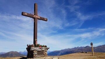
A few minutes' stroll from the Schöngampbahn top station past the Speichersee to the Schönjoch cross at about 2,500 m - big views for almost no effort.
- 742 m
- Distance
- 55 m
- Ascent
- 16 min
- Duration
- 88
- Check-ins
- Fisser Joch 2 434 m
- BergDiamant 2 435 m
- Bergstation Schöngampbahn 2501m 2 491 m
- Speichersee Schönjoch 2 491 m
- Schönjoch 2 493 m
Rotpleiskopf (2.936 m) über Gratweg und Planskopf
Scenic crest itinerary from the Fisser Joch via the Brunnenjoch and the Planskopf, finishing up the block slopes past the Kübelgrubenscharte to the 2,936 m top.
- 7.6 km
- Distance
- 816 m
- Ascent
- 4 h 57 min
- Duration
- 87
- Check-ins
Lader Schlossweiher zum Fisser Joch
From the castle pond at Ladis a 1,300 m climb past the Wodesee, the Zirbenhütte and the Schöngampalm to the Fisser Joch on the ridge between Fiss and Serfaus.
- 14.3 km
- Distance
- 1 311 m
- Ascent
- 8 h 13 min
- Duration
- 79
- Check-ins
Lazidkopf Enduro Tour 7102
An enduro circuit above Serfaus, climbing by the Kölner Haus to the mountain restaurant at 2,343 m and dropping to the Leithe Wirt.
- 27.3 km
- Distance
- 997 m
- Ascent
- 3 h 22 min
- Duration
- 119
- Check-ins
Emmerich-Pale-Weg
Gentle high path between the Fisser Joch area and the Schöngampalm, skirting the slopes near the Zirbenhütte with almost no climbing.
- 5.5 km
- Distance
- 0 m
- Ascent
- 1 h 49 min
- Duration
- 79
- Check-ins
Gratsteig zum Planskopf
Crest path from the Fisser Joch over the Sattelkopf summits and the Vorderer Brunnenkopf to the Planskopf, a narrow ridgeline route above the Urgtal.
- 5.0 km
- Distance
- 522 m
- Ascent
- 2 h 31 min
- Duration
- 83
- Check-ins
Fiss zum Oberen Sattelkopf
Serious ascent from Fiss over the Möseralm to the Mittlerer and Oberer Sattelkopf — more than 1,100 m of climbing to a quiet double summit.
- 5.8 km
- Distance
- 1 109 m
- Ascent
- 6 h 12 min
- Duration
- 37
- Check-ins
No routes of this kind in Fiss yet.
The region's own picks
Featured route
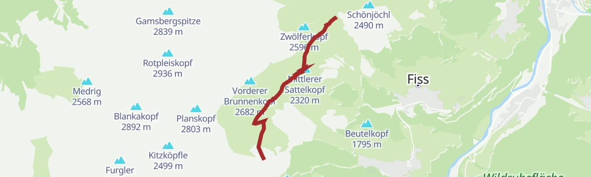
Quellenweg
Nearly level spring-themed path on the Komperdell above Serfaus, wandering out from the Kölner Haus across plateau meadows where the water sources are signposted.
Planning a trip to Fiss?
Everything else Tyrol has, in one place


Take Fiss with you into the mountains
Every route on this page with 3D terrain, GPX navigation and offline maps — including the valleys with no signal.
Data sources
- Official website: serfaus-fiss-ladis.at ↗
- Routes and highlights: Serfaus-Fiss-Ladis, TVB Paznaun-Ischgl, Tourismusverband Pitztal, St. Anton am Arlberg
- Published as open data by the tourist boards named above.
- Region summary generated from the board's own material.
