
Curated by Region Seefeld
Ehrwald
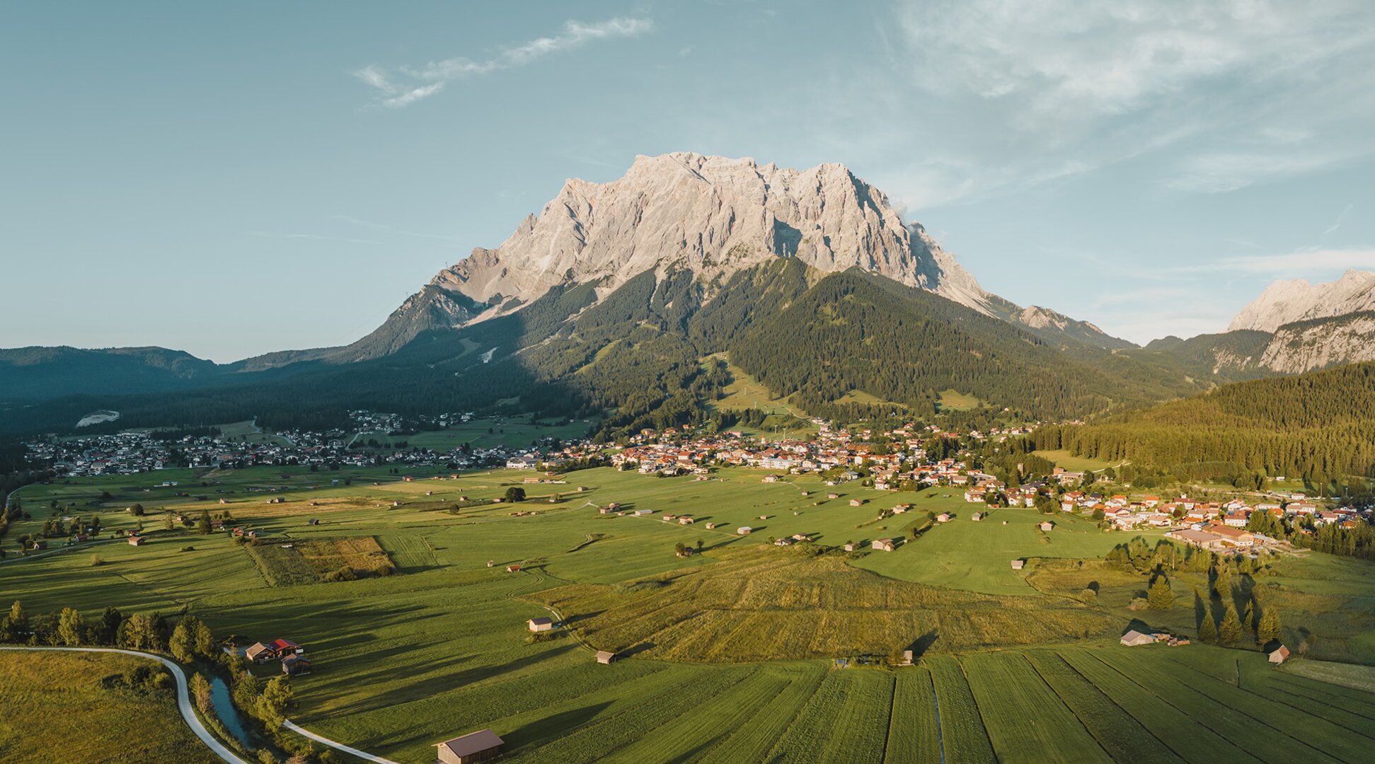
The mountain village at the Tyrolean foot of the Zugspitze, its cable car climbing toward Germany's highest summit, with the Seebensee and Drachensee lakes in the Mieminger range behind.
- 3Highlights
- 23Routes
Highlights
12 from neighbouring places
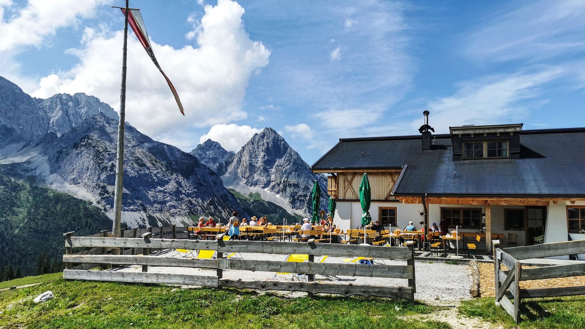
Ehrwalder Alm
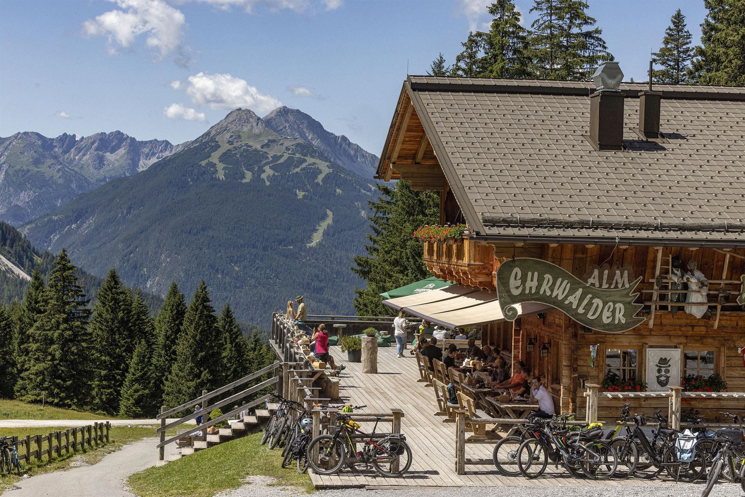
A large alm area above Ehrwald at about 1,500 m, reached by cable car and used as a walking and ski base below the Zugspitze massif.
Seebenalm
An alm near the Seebensee above Ehrwald, on the much-walked route from the Ehrwalder Alm toward the Coburger Hütte.
Tirolerhaus
A day lodge at the Ehrwalder Alm above Ehrwald, serving food beside the cable-car top station below the Zugspitze massif.
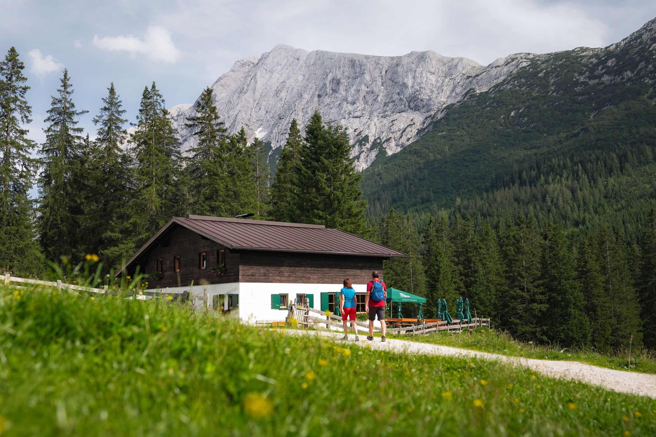
Hochfeldern Alm
4.4 km away, in Mieming
An alm at about 1,700 m between the Ehrwalder Alm and the Gaistal, on the high route below the Mieming range.
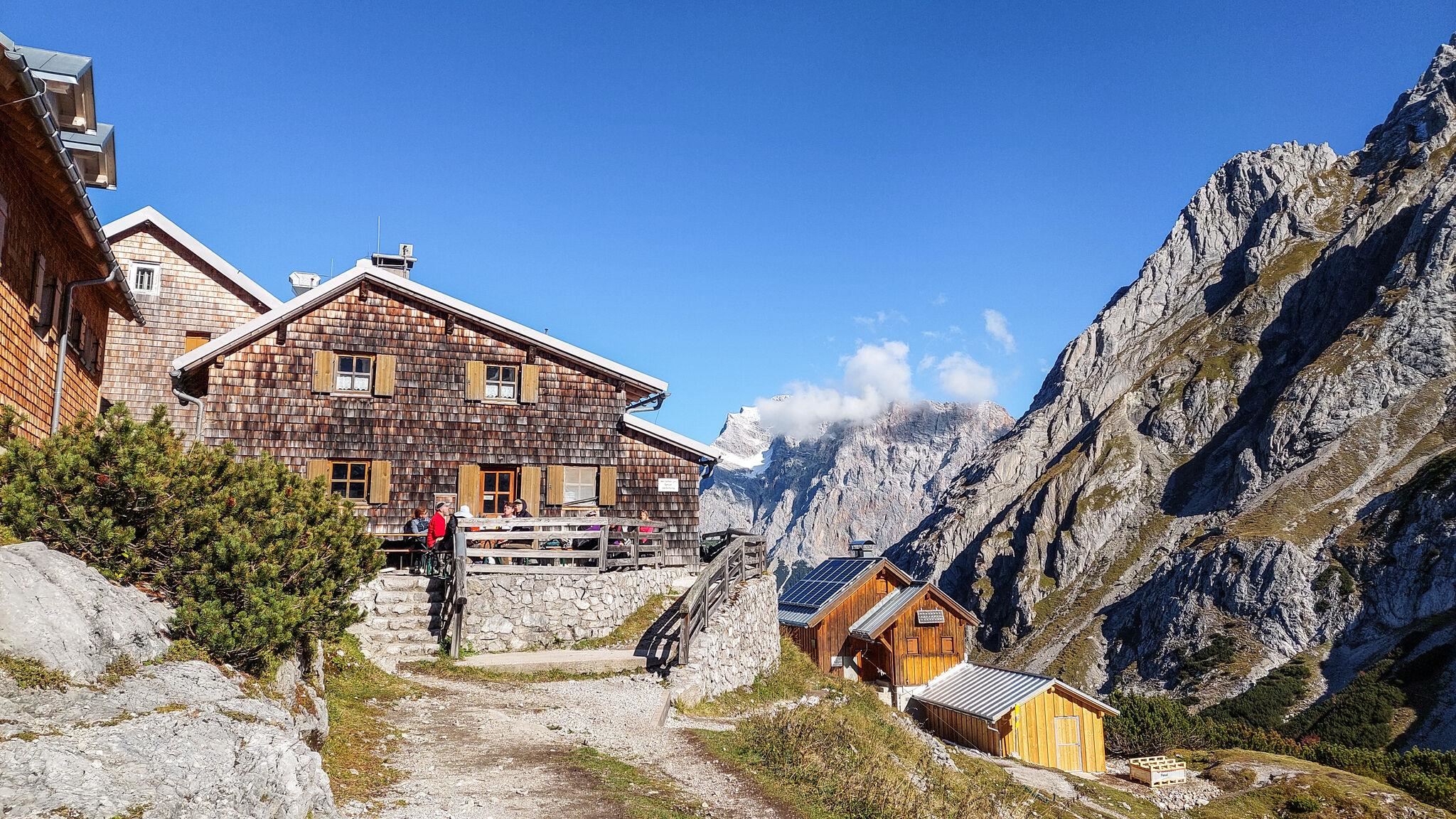
Coburger Hütte
5.5 km away, in Mieming
An Alpine Club hut above the Seebensee near Ehrwald, set among the lakes of the Mieming range and a base for the Sonnenspitze.
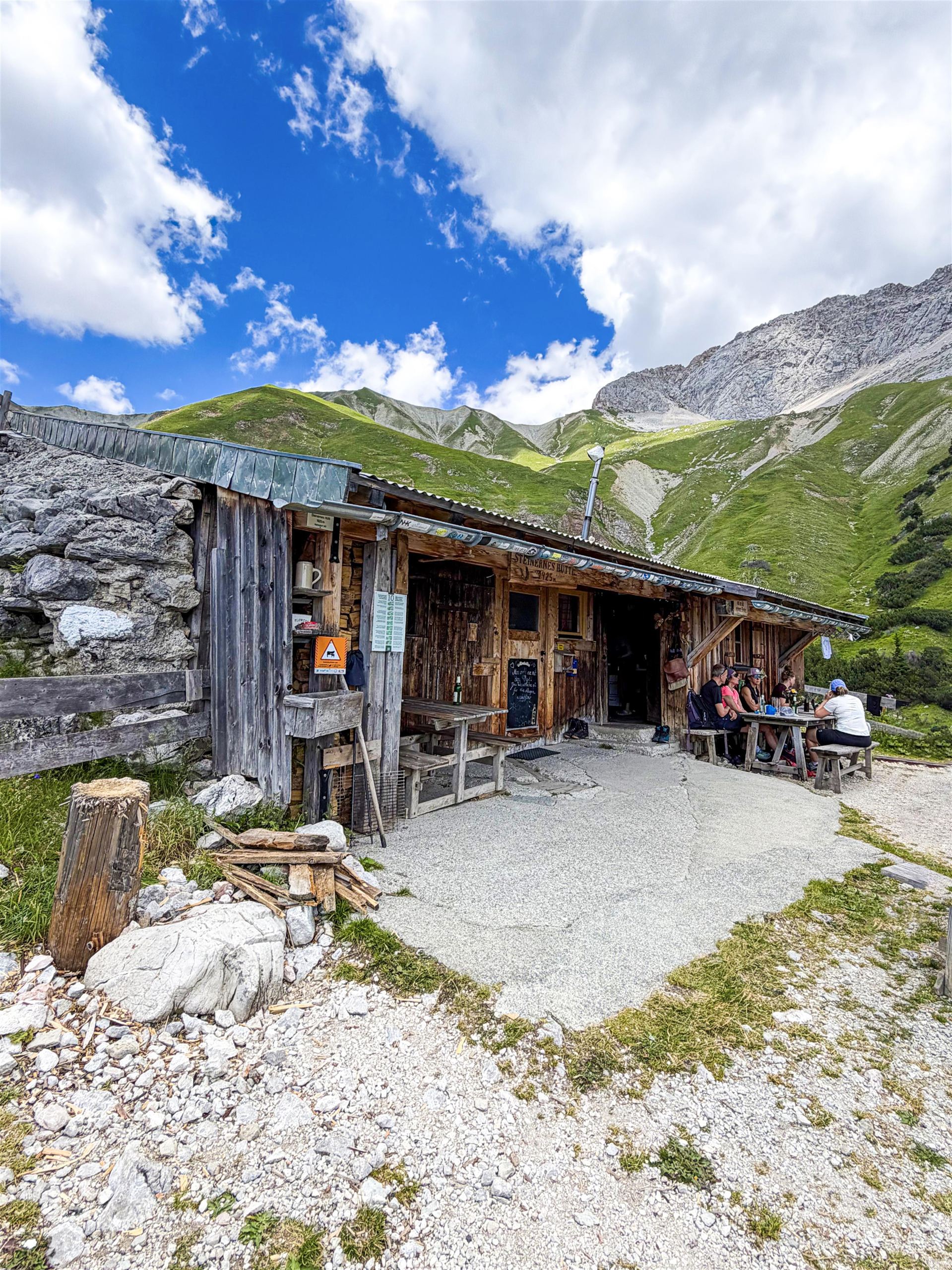
Steinernes Hütt'l
7.3 km away, in Wildermieming
A small stone-built refuge high above the Gaistal near Leutasch, a plain shelter on routes below the Wetterstein range.
Tillfussalm
8.2 km away, in Wildermieming
An alm in the Gaistal above Leutasch beside Ludwig Ganghofer's former hunting lodge, serving walkers on the valley's high tracks.
Gaistalalm
8.9 km away, in Leutasch
An alm in the Gaistal above Leutasch along the Leutascher Ache, open in summer and winter and popular with cross-country skiers and walkers.
Rotmoosalm
10.2 km away, in Leutasch
A high alm above the Gaistal near Leutasch, one of the loftier serviced pastures in the area, reached on long walking tracks.
Muthenaualm - Nassereither Alm
10.7 km away, in Nassereith
An alpine pasture above Nassereith (838 m) in the Imst region, run as a summer hut and also known as the Nassereither Alm.
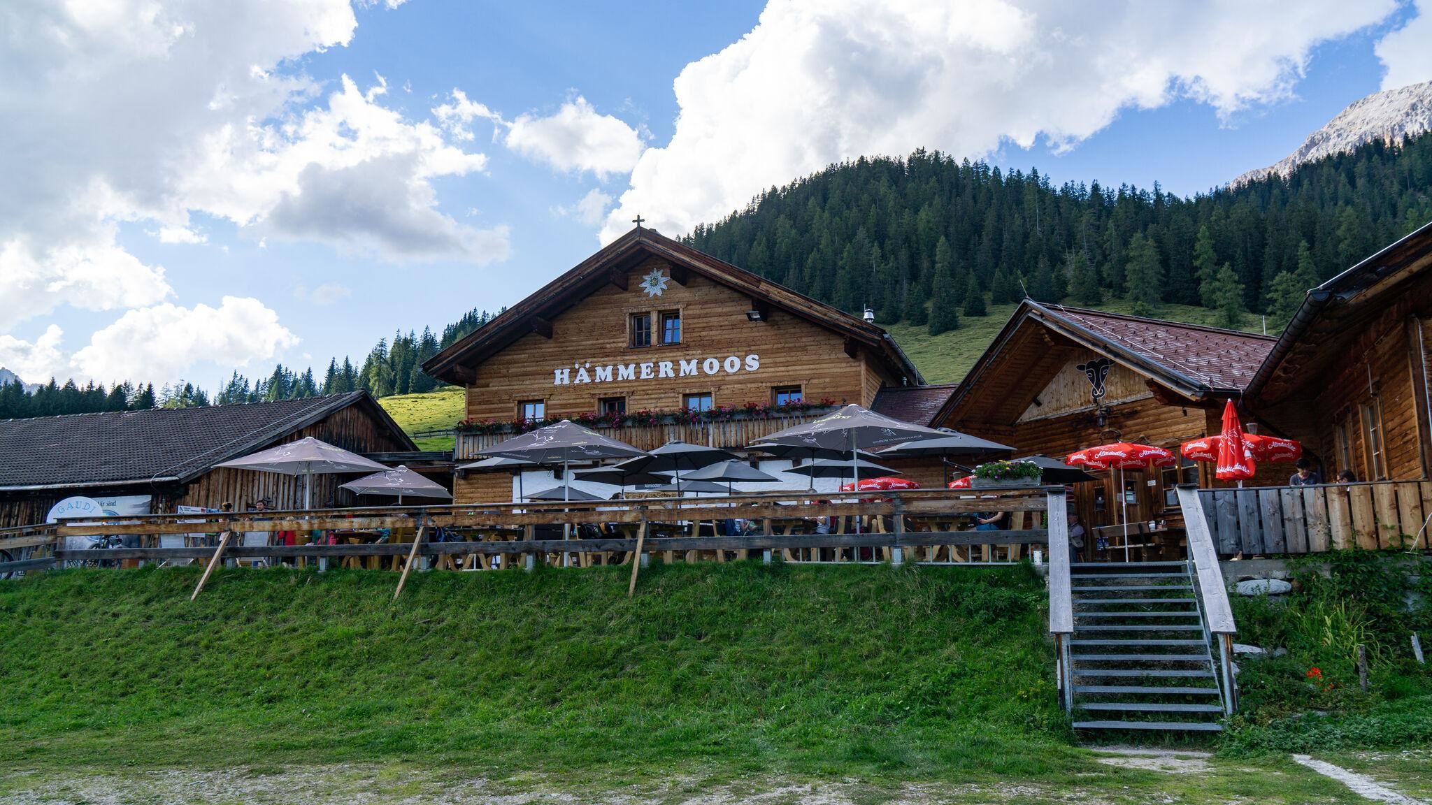
Hämmermoosalm
11 km away, in Leutasch
An alm in the Gaistal above Leutasch, serving food at the edge of moor meadows and reachable on the valley's forest tracks.
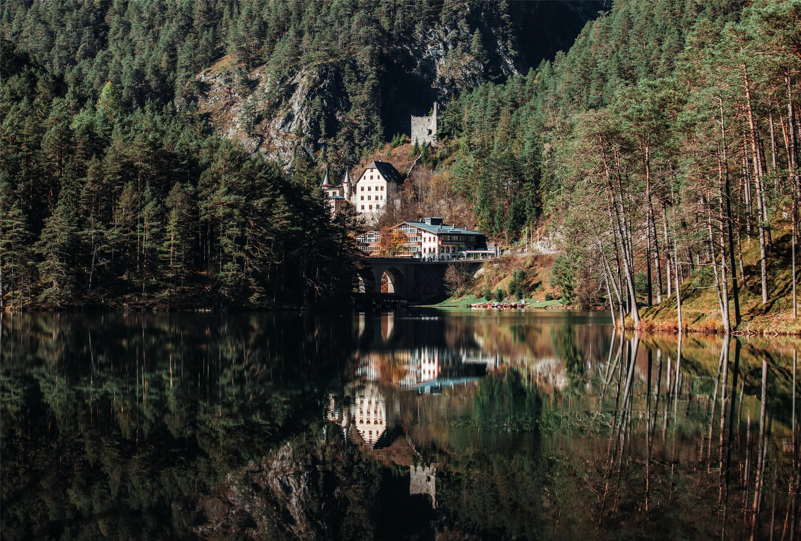
Schloss Fernsteinsee
12 km away, in Nassereith
A castle estate on the Fernpass route at Nassereith, set beside the clear Fernsteinsee, whose island carries the ruin of the Sigmundsburg.
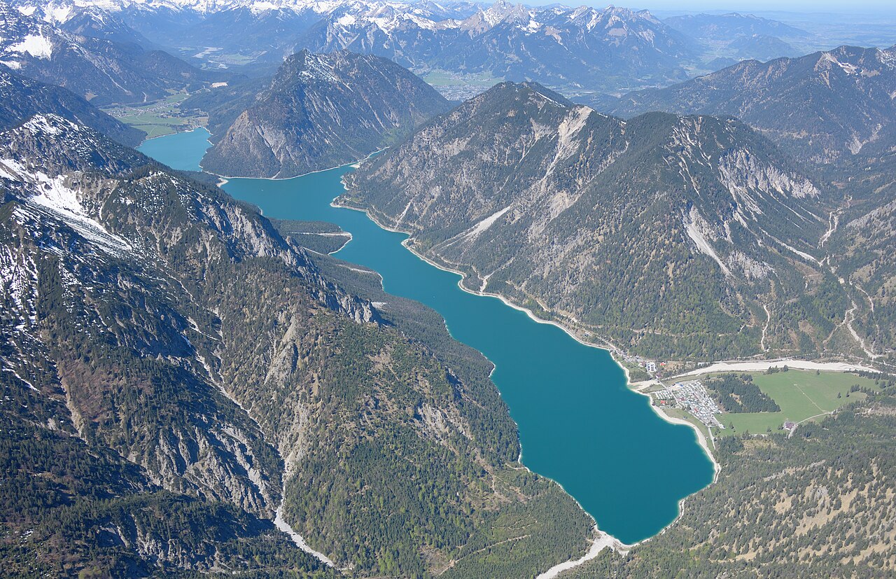
Plansee
12.2 km away, in Reutte
A large fjord-like lake east of Reutte at Breitenwang, joined to the Heiterwanger See by a narrow channel and cruised by excursion boats.
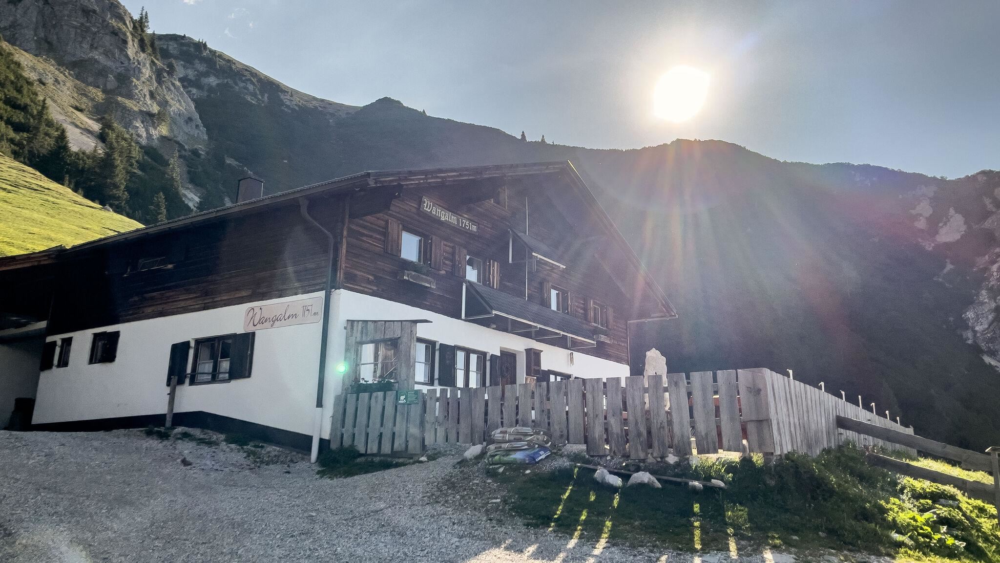
Wangalm
12.6 km away, in Leutasch
An alm below the Wetterstein walls above Leutasch, a serviced pasture hut reached from the Gaistal tracks.
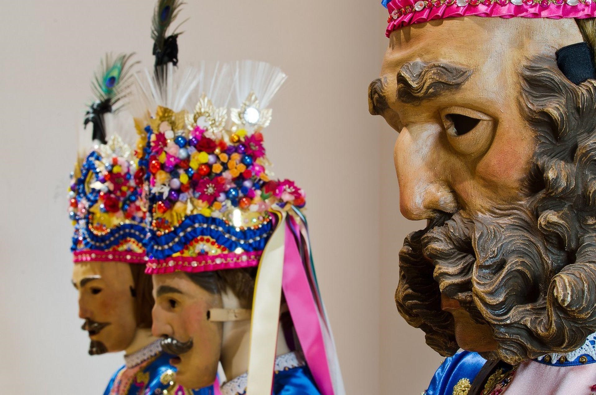
Fasnachtshaus Nassereith
13.2 km away, in Nassereith
A museum in Nassereith devoted to the village's Fasnacht carnival, displaying the carved masks and costumes of the Schellerlaufen.
 Mountain hut
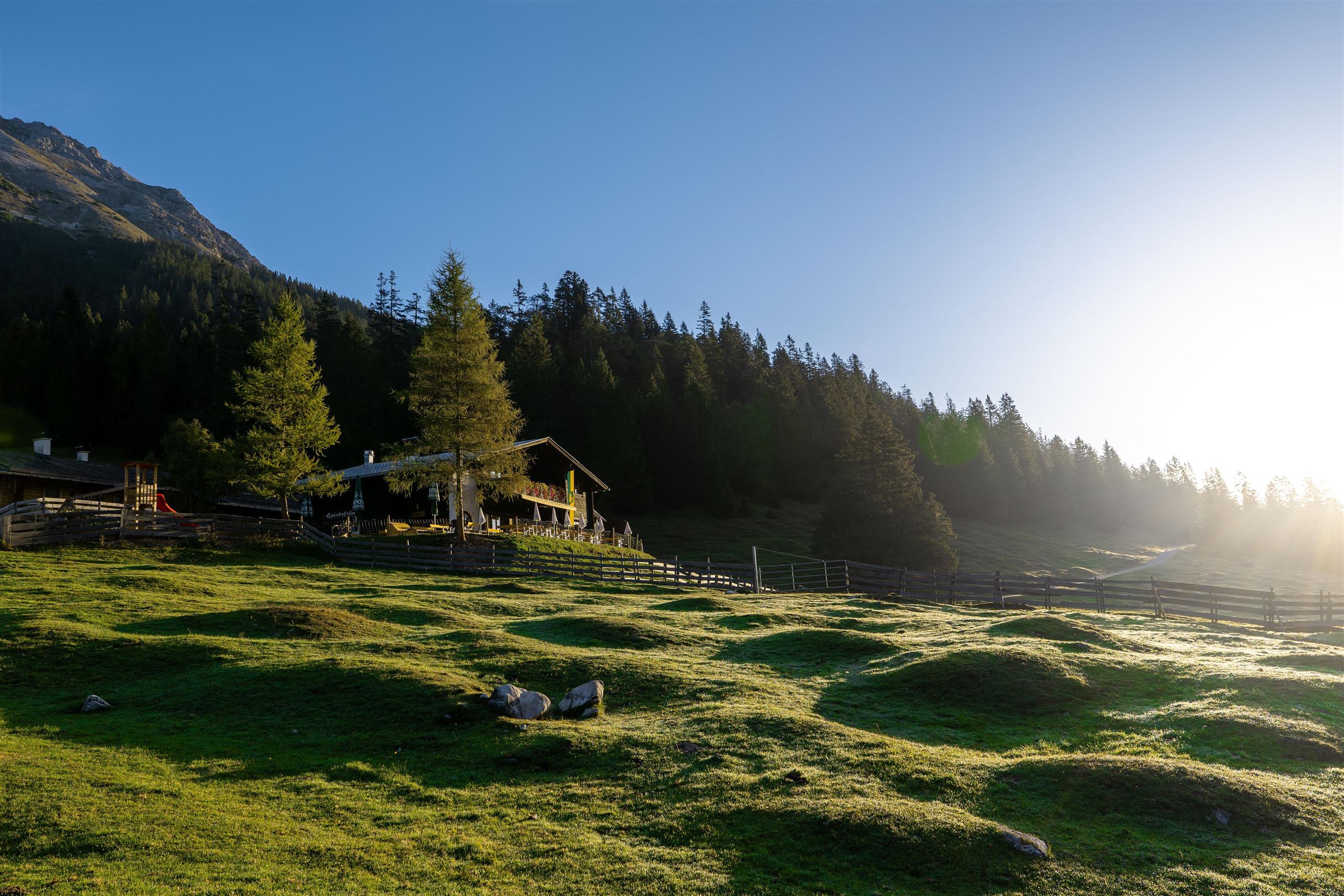
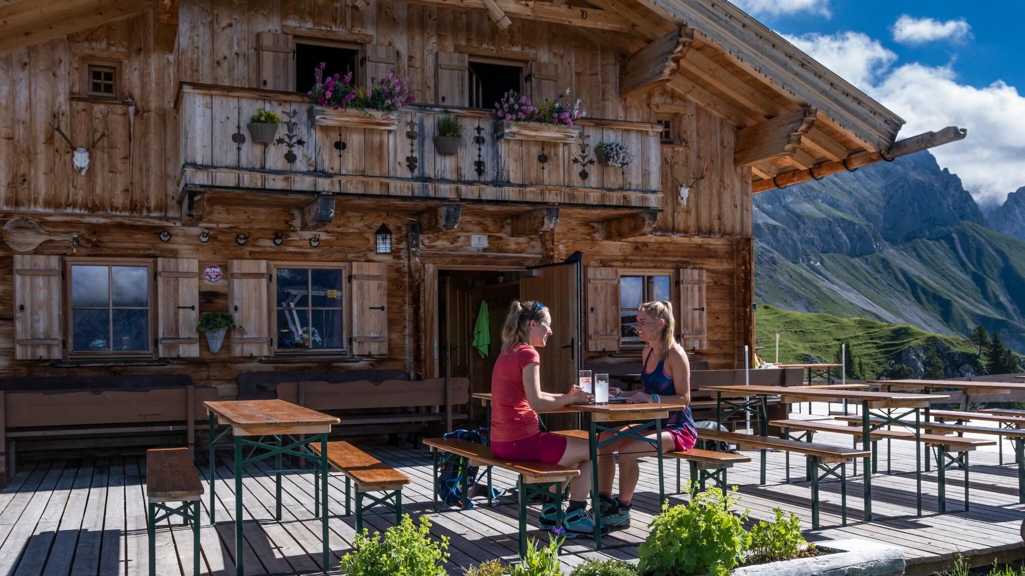
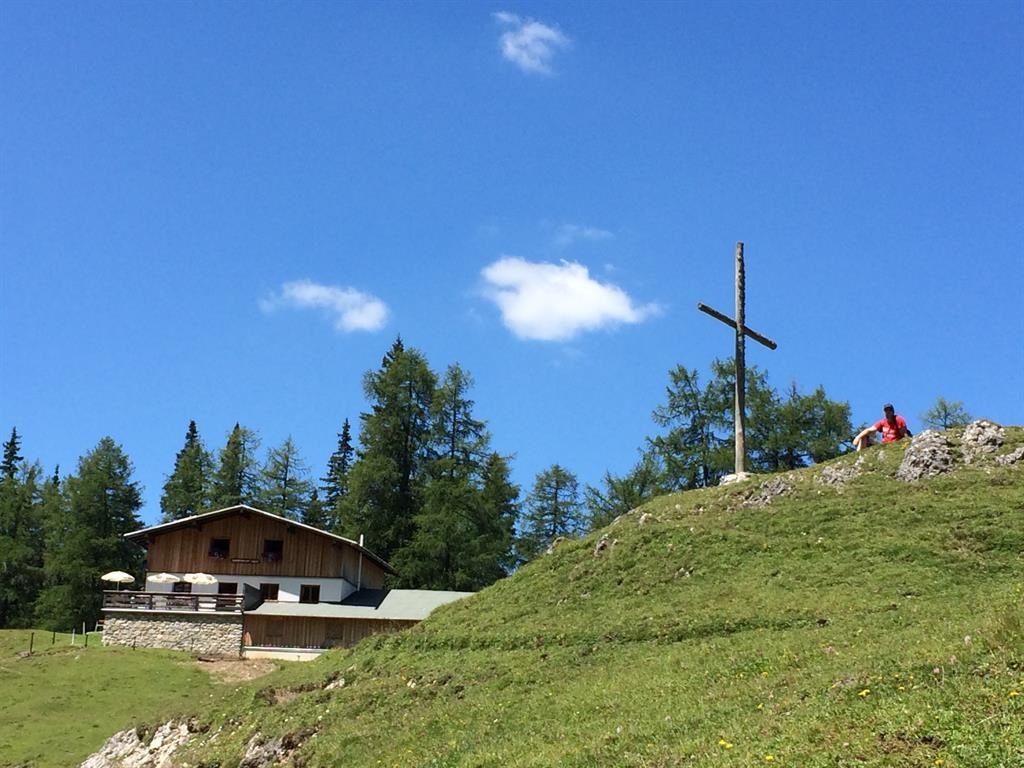
Nothing of this kind in Ehrwald.
Routes
Seeben Klettersteig
Compact via ferrata beside the waterfalls above Ehrwald, reached from the Ehrwalder Almbahn; 200 m of protected climbing ends near the Seeben Alm.
- 6.2 km
- Distance
- 200 m
- Ascent
- 2 h 50 min
- Duration
- 119
- Check-ins
Seebensee und Seebenalm
Easy walk from the Ehrwalder Alm to a mountain lake famous for mirroring the Zugspitze massif, with the alm dairy just above its shore for a rest stop.
- 9.0 km
- Distance
- 297 m
- Ascent
- 2 h 50 min
- Duration
- 163
- Check-ins
Abschnitt 7: Fernpass - Ehrwald
Stage from the Fernpass on forest paths by the Blindsee and the Mittersee, then along the Via Claudia Augusta and through the Lermooser Moos to Ehrwald station.
- 13.8 km
- Distance
- 258 m
- Ascent
- 4 h 6 min
- Duration
- 38
- Check-ins
Adlerweg-Etappe 16: Leutasch – Ehrwald
Long 22.6 km stage down the Gaistal beside the Leutascher Ache towards the Zugspitze, ending at the Ehrwalder Alm; ibex and chamois are often about.
- 22.6 km
- Distance
- 555 m
- Ascent
- 6 h 47 min
- Duration
- 254
- Check-ins
Biketour Wettersteinrunde
A full day circling the Wetterstein massif, taking in the Ehrwalder Alm and the Hochthörlehütte and the drop to under 800 m at the Lenz'n-Hütte.
- 78.3 km
- Distance
- 1 877 m
- Ascent
- 8 h 43 min
- Duration
- 280
- Check-ins
Biketour Zugspitz-8
A figure of eight right round the Zugspitze from Ehrwald, taking in the Ehrwalder Alm and the Garmisch ski stadium.
- 103.8 km
- Distance
- 2 311 m
- Ascent
- 11 h 23 min
- Duration
- 273
- Check-ins
Adlerweg-Etappe 17: Ehrwald – Lorea Hütte
Long day from Ehrwald across the Fernpass to the Lorea Hütte, taking in the Blindsee, the Grubighütte and the deep lakes at Schloss Fernstein.
- 22.1 km
- Distance
- 2 191 m
- Ascent
- 11 h 37 min
- Duration
- 77
- Check-ins
Gravelbike Tour 4.5 - Rund um die Zugspitze
A full circuit of the Zugspitze massif from Ehrwald over the Ehrwalder Alm, across to Grainau and the Garmisch ski stadium.
- 79.7 km
- Distance
- 1 459 m
- Ascent
- 8 h 27 min
- Duration
- 264
- Check-ins
Gravelbike Tour 4.5 - Rund um die Zugspitze
A gravel circuit right around the Zugspitze from Ehrwald, shorter than the figure of eight and with less climbing.
- 79.7 km
- Distance
- 1 717 m
- Ascent
- 8 h 41 min
- Duration
- 264
- Check-ins
Gaistalrunde - Mieminger Kette Rundtour
A long loop right around the range over the Marienbergjoch, linking the Ehrwalder Alm, Gaistalalm, Marienbergalm and Tillfussalm on forest roads.
- 66.6 km
- Distance
- 2 310 m
- Ascent
- 8 h 5 min
- Duration
- 247
- Check-ins
Gravel Wettersteinrunde
A gravel circuit of the Wetterstein from Ehrwald, by the Ehrwalder Alm and the Hochthörlehütte.
- 78.3 km
- Distance
- 2 124 m
- Ascent
- 8 h 57 min
- Duration
- 263
- Check-ins
Bike Trail Tirol Etappe 06: Ehrwald-Scharnitz
A long stage of the Tirol traverse, running from Ehrwald over the Ehrwalder Alm and past the Weidachsee towards Scharnitz.
- 39.8 km
- Distance
- 899 m
- Ascent
- 4 h 23 min
- Duration
- 176
- Check-ins
Bike & Hike Seebensee & Drachensee
A ride up through the woods to the Seeben Alm, where the bike is left for the walk on to the Coburger Hütte and the two lakes above it.
- 31.0 km
- Distance
- 1 022 m
- Ascent
- 3 h 43 min
- Duration
- 101
- Check-ins
Bike & Hike Seebensee & Drachensee
A forest-road ride over to the Seeben Alm, with the walk up to the two lakes and the Coburger Hütte where the track ends.
- 31.0 km
- Distance
- 822 m
- Ascent
- 3 h 31 min
- Duration
- 143
- Check-ins
Gravelbike Tour 1.2 - Durch die Lechtaler und Ammergauer Alpen
A long gravel day from Reutte through two ranges, over Berwang and Lermoos with the Dürrenberg Alm and Berglenhütte en route.
- 84.3 km
- Distance
- 2 078 m
- Ascent
- 9 h 26 min
- Duration
- 64
- Check-ins
Gravelbike Tour 4.3 - Arena Runde
A long gravel circuit on the broad valley floor around Lermoos, passing the camp site and staying between about 980 and 1,100 m.
- 41.4 km
- Distance
- 504 m
- Ascent
- 4 h 9 min
- Duration
- 64
- Check-ins
Gravelbike Tour 4.3 - Arena Runde
A gravel loop on the plateau between Bichlbach and Lermoos, following field tracks and quiet lanes past the Lermoos campsite.
- 41.4 km
- Distance
- 737 m
- Ascent
- 4 h 22 min
- Duration
- 64
- Check-ins
Biketour Nr. 551 Seebensee
A long forest-road ride from the Leutasch valley over to the Seeben Alm, with the viewpoint over the Seebental where the track tops out.
- 27.8 km
- Distance
- 569 m
- Ascent
- 3 h
- Duration
- 44
- Check-ins
Von Reutte nach Garmisch-Partenkirchen | Radtour
A day-long ride across the Tirol to Bavaria border by way of Lermoos, finishing beside the ski stadium under the Gudiberg.
- 49.3 km
- Distance
- 625 m
- Ascent
- 4 h 57 min
- Duration
- 61
- Check-ins
Von Ehrwald nach Imst auf der Römerroute
A point-to-point ride over the Fernpass, passing the Fernsteinsee and Weißensee lakes on the old Roman road down towards Imst.
- 33.1 km
- Distance
- 469 m
- Ascent
- 3 h 27 min
- Duration
- 36
- Check-ins
Gravelbike Tour 4.4 - Rund um den Daniel
A long gravel loop over the Sattel at 1,110 m and down to the Plansee, passing the Höllkopf viewing platform above Bichlbach.
- 46.6 km
- Distance
- 903 m
- Ascent
- 4 h 59 min
- Duration
- 26
- Check-ins
Plansee - Griesen | MTB Tour
A long forest-road tour out of Lermoos, running past the Speckbacherhütte and the Höllkopf platform to the lake shore camp site at Seespitz.
- 46.6 km
- Distance
- 778 m
- Ascent
- 4 h 52 min
- Duration
- 32
- Check-ins
Gravelbike Tour 4.4 - Rund um den Daniel
A long circuit around the Daniel massif from Ehrwald, crossing the Sattel and passing the Plansee shore and the Höllkopf platform.
- 46.6 km
- Distance
- 969 m
- Ascent
- 5 h 3 min
- Duration
- 26
- Check-ins


No routes of this kind in Ehrwald yet.
Planning a trip to Ehrwald?
Everything else Tyrol has, in one place


Take Ehrwald with you into the mountains
Every route on this page with 3D terrain, GPX navigation and offline maps — including the valleys with no signal.
Data sources
- Official website: seefeld.com ↗
- Routes and highlights: Region Seefeld, Naturparkregion Reutte, Imst Tourismus, Lechtal Tourismus, Innsbruck Tourismus
- Published as open data by the tourist boards named above.
- Region summary generated from the board's own material.
