
 Historic site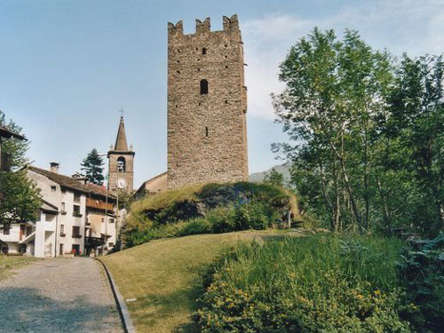


Curated by Monterosa Outdoor
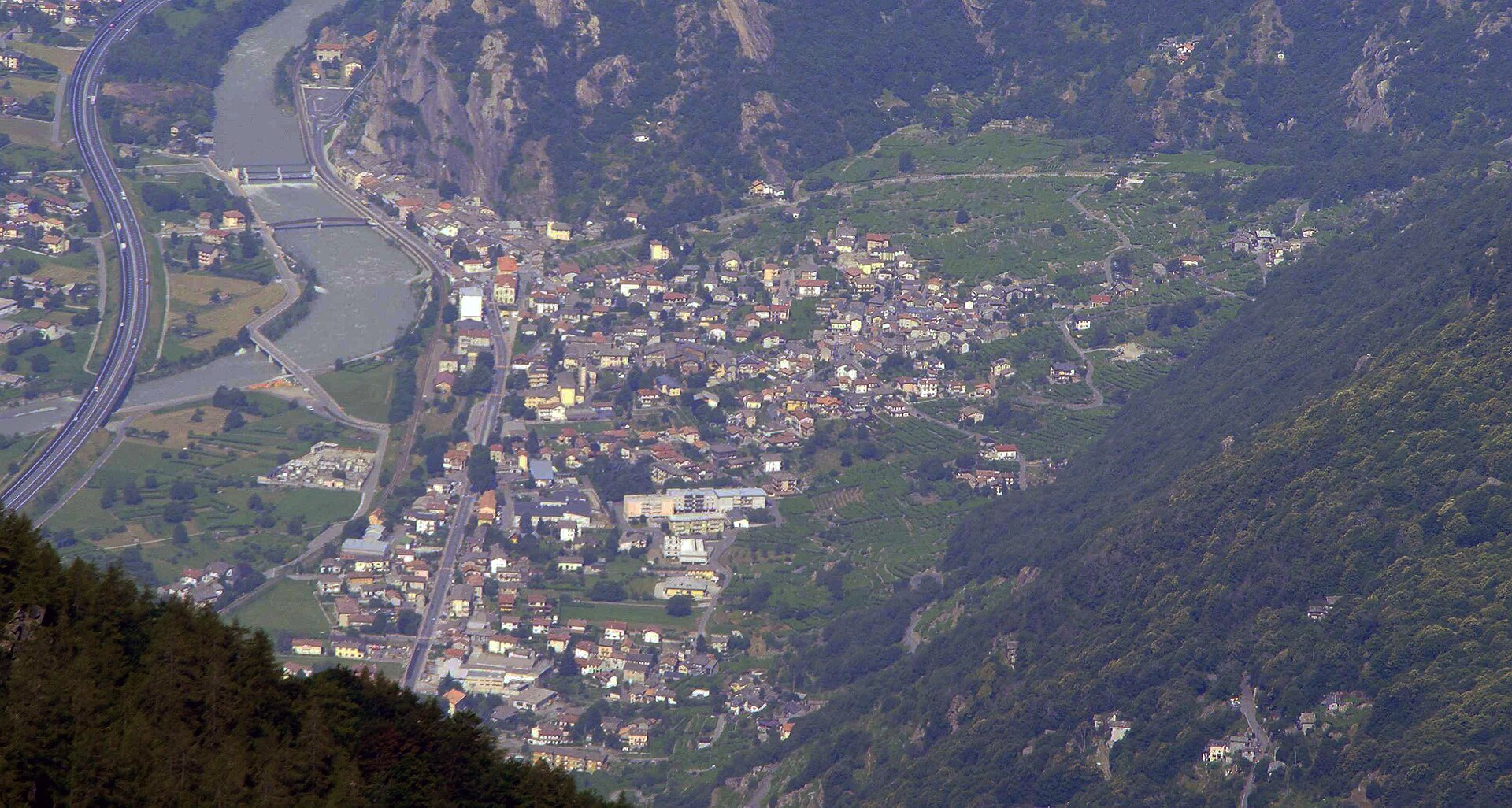
Donnas
Valle d'Aosta village where the Roman road is cut into the living rock, at the mouth of the Lys valley.
Photo: Donnas_dal_bec_di_nona.jpg : F Ceragioli derivative work: Patafisik · CC BY-SA 3.0 licence
- 4Highlights
- 15Routes
- Featured summit · Truc Chaveran
Highlights
All 4 from neighbouring places
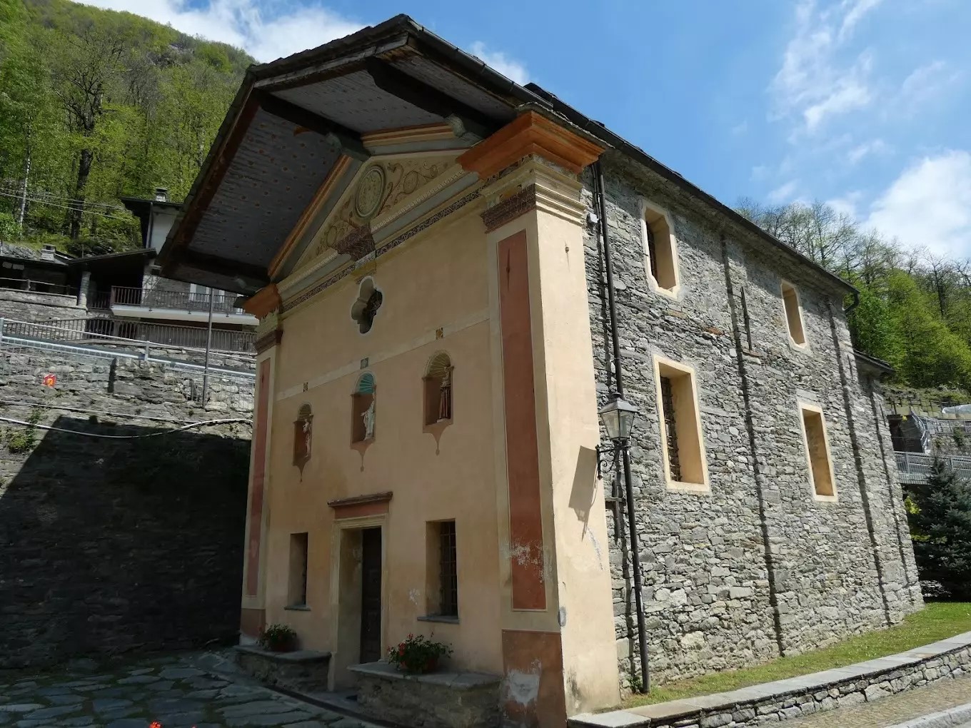
Cappella Del Gom
5.6 km away, in Pontboset
A wayside chapel at Pontboset, above the Ayasse gorge in the Champorcher valley.
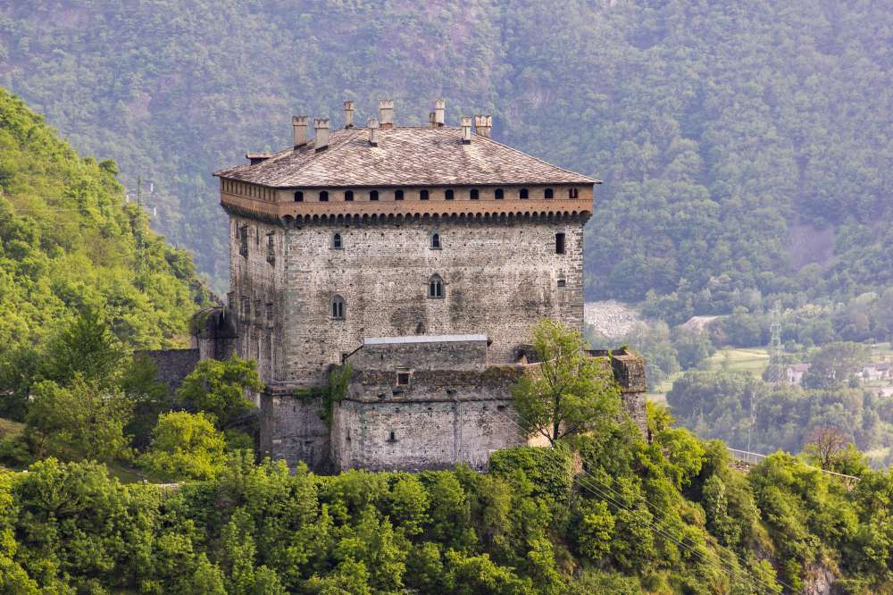
Il Castello di Verrès
10.1 km away, in Verrès
A single great cube of masonry above Verrès, built by Ibleto di Challant in the fourteenth century.
Torre medioevale e chiesa parrocchiale
11 km away, in Champorcher
A crenellated medieval tower and the parish church in the hamlet of Chateau, the old centre of the Champorcher valley.
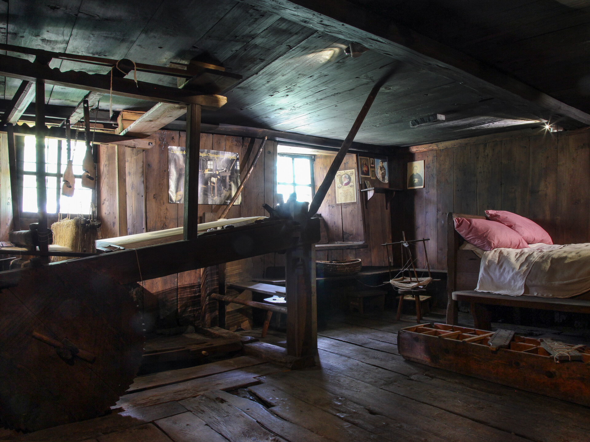
Ecomuseo della Canapa e del Telaio
12 km away, in Champorcher
A museum at Champorcher on the hemp growing and hand-loom weaving that clothed the valley.
Nothing of this kind in Donnas.
Routes
Vigneti
An easy, low-level walk among the vineyards around Donnas at the mouth of the Valle d'Aosta, with very little climbing involved.
- 4.5 km
- Distance
- 120 m
- Ascent
- 1 h 21 min
- Duration
Peredrette
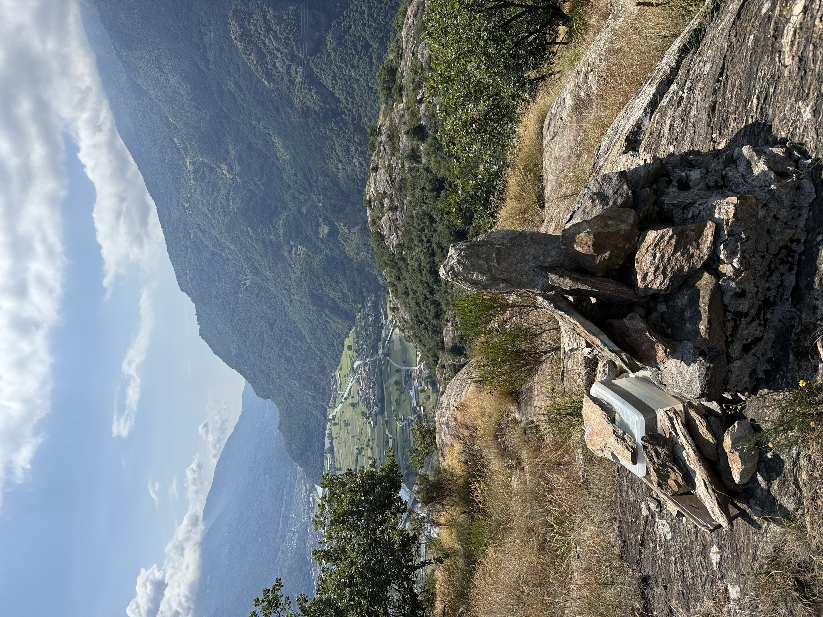
A climb above Donnas at the mouth of the Aosta valley to the Truc Chaveran.
- 4.8 km
- Distance
- 455 m
- Ascent
- 2 h 49 min
- Duration
- 3
- Check-ins
Donnas
A long low-level round based on Donnas at the mouth of the Lys valley, in the vineyards of the lower Aosta valley.
- 20.3 km
- Distance
- 1 164 m
- Ascent
- 6 h 36 min
- Duration
- 9
- Check-ins
Rifugio Bonze
A climb from Donnas through chestnut woods to the Bonze refuge, on the ridge between the Lys and the Dora Baltea.
- 9.1 km
- Distance
- 724 m
- Ascent
- 4 h 39 min
- Duration
- 1
- Check-ins
Cammino Balteo 4° tappa
The fourth stage of the Cammino Balteo, leaving Donnas and crossing the Tête de Cou high above the Dora Baltea.
- 13.2 km
- Distance
- 1 080 m
- Ascent
- 6 h 45 min
- Duration
- 7
- Check-ins
Albard di Bard
A steady climb out of Donnas up to the hamlet of Albard, on the slopes above the narrows of the lower Valle d'Aosta.
- 7.5 km
- Distance
- 639 m
- Ascent
- 4 h 4 min
- Duration
Tête de la Cou
A long climb above Donnas by way of the Forno di Verale and the Col de La Cou to the summit ridge of the Tête de Cou.
- 11.8 km
- Distance
- 1 072 m
- Ascent
- 6 h 43 min
- Duration
- 7
- Check-ins
Cammino Balteo 23° tappa
The twenty-third stage of the Cammino Balteo, passing through Pontboset in the Champorcher valley.
- 13.8 km
- Distance
- 442 m
- Ascent
- 4 h 43 min
- Duration
Crest
A long climb from Pontboset to the pastures of Crest, high on the flank of the Champorcher valley.
- 14.5 km
- Distance
- 1 039 m
- Ascent
- 8 h 28 min
- Duration
- 2
- Check-ins
Lungo Lys e Dora
An almost level walk along the valley floor at Donnas, following the Lys down to where it joins the Dora Baltea.
- 7.7 km
- Distance
- 23 m
- Ascent
- 1 h 51 min
- Duration
Traversata Moia Bonze
A traverse from Moia to the Bonze refuge above Donnas, high on the slopes east of the Dora Baltea.
- 12.2 km
- Distance
- 1 293 m
- Ascent
- 7 h 52 min
- Duration
- 2
- Check-ins
 Rifugio Alpe Bonze 1 861 m
 Col de Liet 1 947 m
 Lago Di Liet 1 691 m
Places
A hillside walk above Donnas, climbing several hundred metres to a scattered hamlet on the slopes of the lower Valle d'Aosta.
- 7.7 km
- Distance
- 484 m
- Ascent
- 3 h 19 min
- Duration
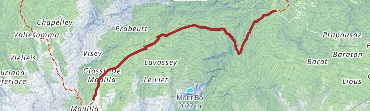
La Moillaz
A climb to the pastures of La Moillaz above Donnas, on the wooded flank of the lower Aosta valley.
- 10.9 km
- Distance
- 958 m
- Ascent
- 6 h 3 min
- Duration
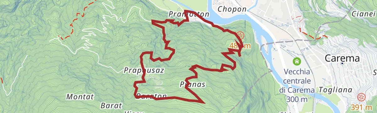
Torre Pramotton e Pianas
A climb from Donnas to the medieval Pramotton tower and on to the Pianas meadows, high above the Dora Baltea.
- 8.9 km
- Distance
- 900 m
- Ascent
- 5 h 32 min
- Duration
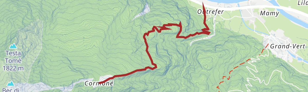
Pian Bosonin e Alpe Cormoney
A steep ascent from Donnas to Pian Bosonin and the Cormoney alp, high pasture above the Dora Baltea.
- 8.5 km
- Distance
- 1 195 m
- Ascent
- 6 h 57 min
- Duration
No routes of this kind in Donnas yet.
The region's own picks

Featured route
Vigneti
An easy, low-level walk among the vineyards around Donnas at the mouth of the Valle d'Aosta, with very little climbing involved.
Planning a trip to Donnas?
Everything else Aosta Valley has, in one place


Take Donnas with you into the mountains
Every route on this page with 3D terrain, GPX navigation and offline maps — including the valleys with no signal.
Data sources
- Official website: lovevda.it ↗
- Routes and highlights: Monterosa Outdoor, Visit Monterosa
- Published as open data by the tourist boards named above.
- Region summary generated from the board's own material.
