
Curated by Valtellina Outdoor
Delebio
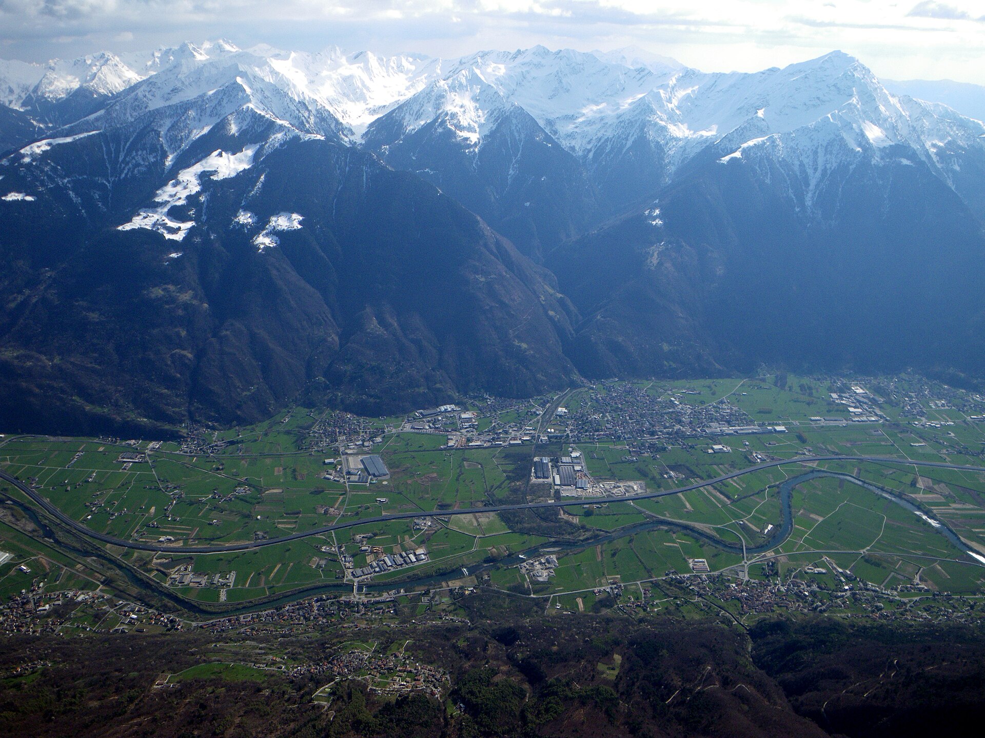
Lower Valtellina village on the northern slope of Monte Legnone, where the Adda enters the Piano di Spagna.
Photo: Ozonski · CC BY 3.0 licence
- 1Highlights
- 5Routes
- Featured summit · Motto dei Larici
Highlights
All 1 from neighbouring places
Museo Civico di Storia Naturale di Morbegno
9.6 km away, in Morbegno
A natural history museum at Morbegno on the Orobie and Rhaetian slopes that meet at the valley mouth.
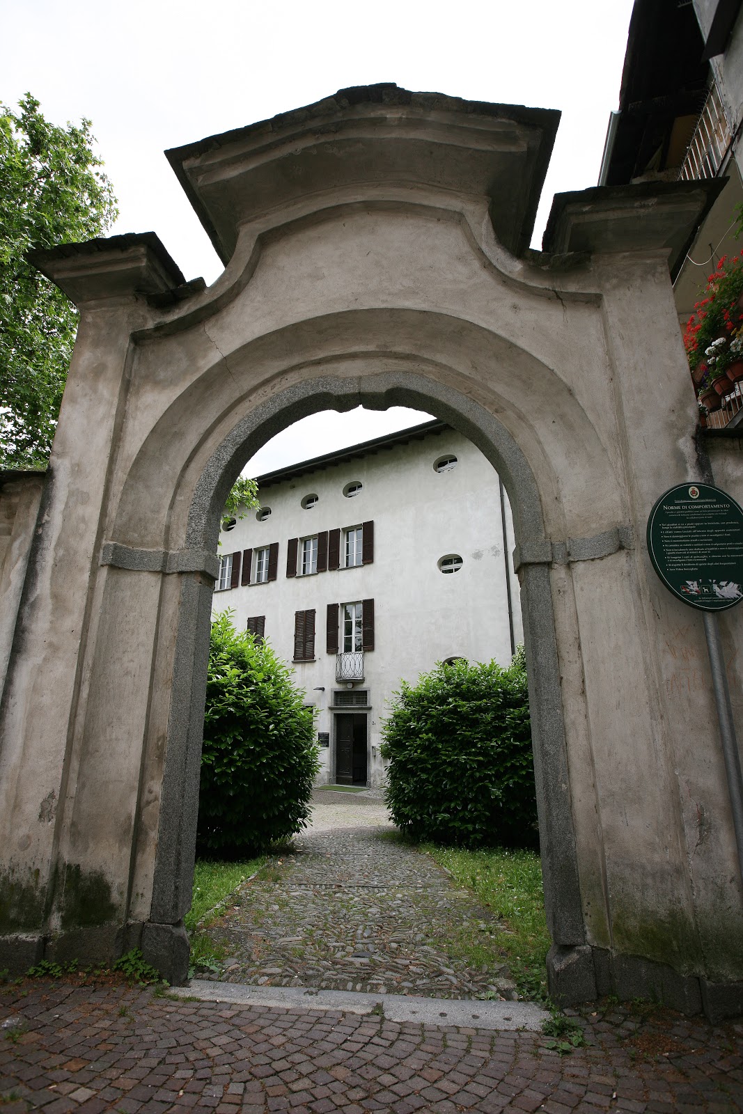
Nothing of this kind in Delebio.
Routes
15 from neighbouring places
Il Sentiero Valtellina
The Colico end of the Sentiero Valtellina, where the route along the Adda leaves the head of Lake Como for the valley.
- 113.6 km
- Distance
- 1 108 m
- Ascent
- 28 h 24 min
- Duration
- 12
- Check-ins
Sentiero del Viandante stage Piantedo - Morbegno
A long lower Valtellina stage of the Wayfarer's path, running from Colico by Piantedo and the Val Pozzo sanctuary towards Morbegno.
- 21.9 km
- Distance
- 1 047 m
- Ascent
- 7 h 48 min
- Duration
- 1
- Check-ins
Open route Valtellina OutdoorSentiero Valtellina
A valley-floor cycleway following the Adda upstream from the plain at Colico for well over 100 km into the upper Valtellina.
- 113.4 km
- Distance
- 1 068 m
- Ascent
- 10 h 43 min
- Duration
- 6
- Check-ins
 Agriturismo Rini 1 180 m
- Pro Loco 1 140 m
- A2A 504 m
- Visit Valtellina 434 m
- Il Bisteca - Agriturismo 242 m
Open route Valtellina OutdoorAlpe Legnone, what a great panorama!
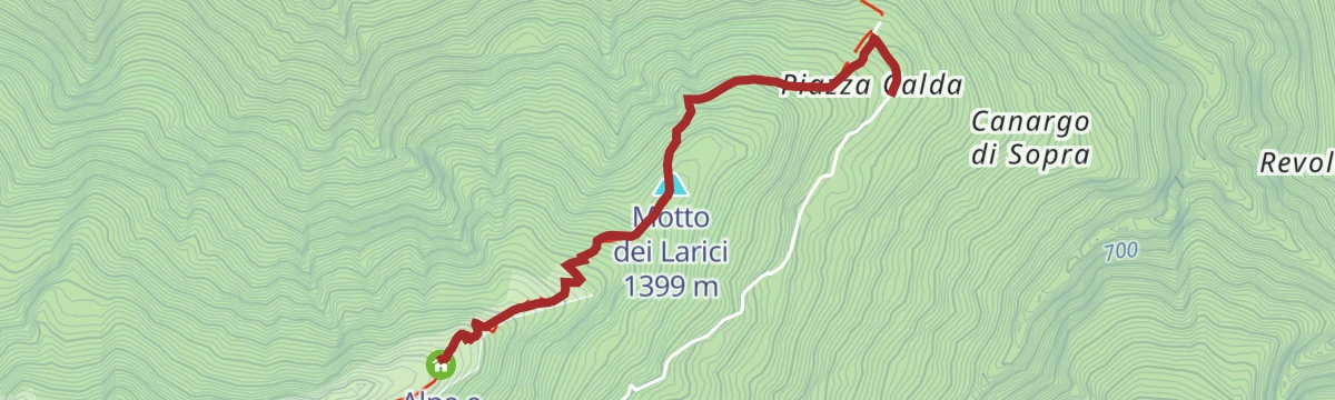
A steep climb from Piazza Calda through forest past the Zoca de la Naaf hollow to the wide meadows of the Alpe Legnone.
- 2.3 km
- Distance
- 590 m
- Ascent
- 2 h 9 min
- Duration
- 5
- Check-ins
Open route Valtellina OutdoorERSAF e-bike Percorso Culturale-Naturalistico
A long, nearly level e-bike route through the lower Valtellina, out to the Isola della Pescaia and the Sasso di Dascio viewpoint near Dascio.
- 55.2 km
- Distance
- 199 m
- Ascent
- 5 h 5 min
- Duration
- 1
- Check-ins
Open route Valtellina OutdoorDoppio anello a Fontanedo
4.5 km away, in Colico
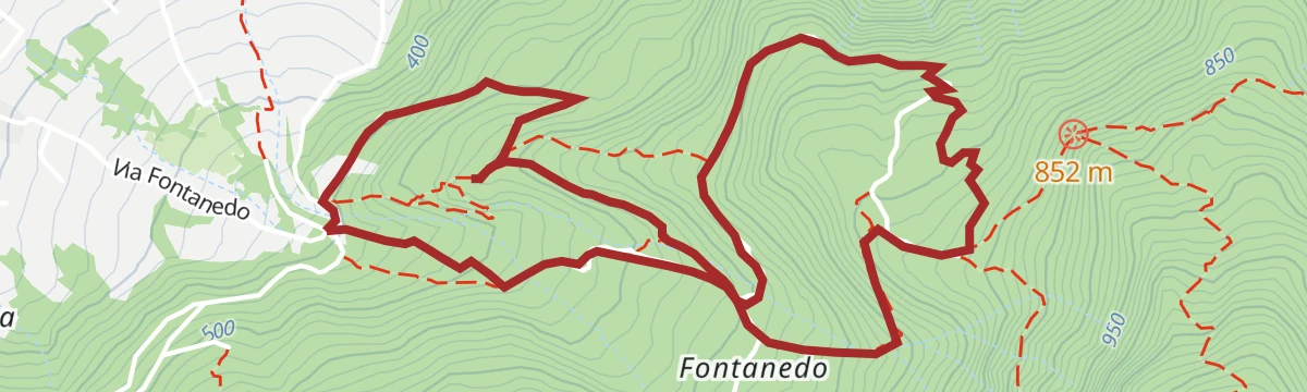
A double loop above Villatico in Colico, at the north end of Lake Como, past the Fontanedo tower and a picnic area.
- 5.4 km
- Distance
- 338 m
- Ascent
- 2 h 20 min
- Duration
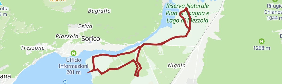
Cycling in a Nature Reserve between land and water
7.2 km away, in Gera Lario
A flat circuit of the Pian di Spagna reserve, between Lake Como, the Valtellina and the Valchiavenna.
- 12.9 km
- Distance
- 0 m
- Ascent
- 1 h 8 min
- Duration
Open route Valtellina OutdoorBosco dei Bambini, mountain bike fun
13.3 km away, in Dazio
An easy woodland loop below the Colmen di Dazio, rolling past old lime kilns and the hamlet of Regolido on a natural surface.
- 4.3 km
- Distance
- 80 m
- Ascent
- 28 min
- Duration
Open route Valtellina OutdoorSENTIERO WALTER BONATTI
4.8 km away, in Dubino
A long, demanding traverse from Dubino to the Bagni di Masino over Monte Bassetta and the Passo del Calvo, calling at Rifugio Omio.
- 26.6 km
- Distance
- 3 109 m
- Ascent
- 16 h 54 min
- Duration
- 71
- Check-ins
 Monte Bassetta 1 746 m
- Monte Foffricio 1 258 m
- Rifugio Antonio Omio 2 104 m
- Bivacco Silvio Saglio 2 109 m
- Bivacco Primàlpia 1 980 m
- alpe Bassetta 1 725 m
- +3
Open route Valtellina OutdoorLa ciclabile Valchiavenna
4.7 km away, in Gera Lario
The Valchiavenna cycle path up the valley floor, past the Cavrii waterfall and the Sasso del Drago crag.
- 39.7 km
- Distance
- 465 m
- Ascent
- 3 h 48 min
- Duration
- 12
- Check-ins
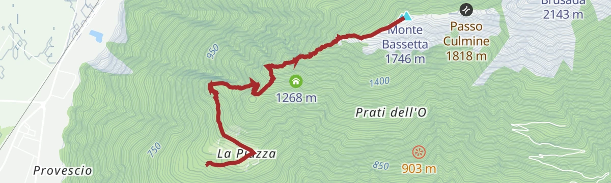
The super panoramic Bassetta, a mountain without a summit
5.9 km away, in Dubino
A steep climb from La Piazza on a section of the Sentiero Bonatti, through forest and switchbacks to the meadows and huts of alpe Bassetta.
- 4.0 km
- Distance
- 830 m
- Ascent
- 3 h 4 min
- Duration
- 14
- Check-ins
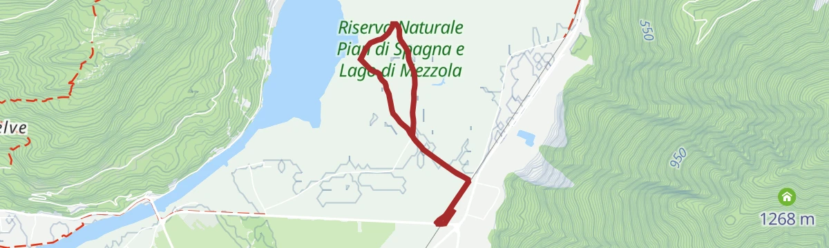
Open route Valtellina OutdoorPian di Spagna, a walk in a natural laboratory
6.6 km away, in Dubino
A flat walk through the reserve at Dubino on dirt tracks between reed beds and fields, out to the shores of Lago di Mezzola.
- 4.2 km
- Distance
- 0 m
- Ascent
- 59 min
- Duration
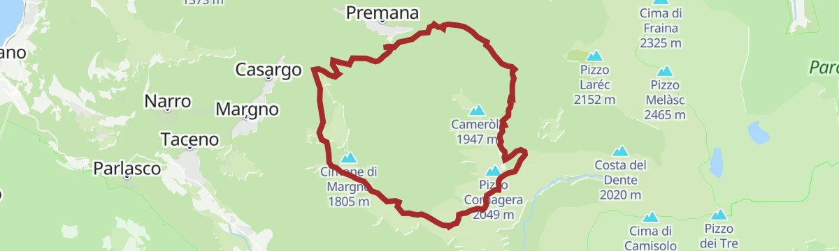
Open route Valtellina OutdoorLe vie del ferro
6.9 km away, in Premana
A long circuit out of Premana towards Premaniga, through a valley whose villages have worked iron into knives and scissors for centuries.
- 21.8 km
- Distance
- 1 843 m
- Ascent
- 11 h 45 min
- Duration
- 7
- Check-ins
Passo San Marco by bike
10.1 km away, in Morbegno
A 1,700 m road climb from Morbegno through Arzo and Albaredo to the old Venetian trade pass at nearly 2,000 m on the Orobie watershed.
- 26.1 km
- Distance
- 1 760 m
- Ascent
- 3 h 21 min
- Duration
- 28
- Check-ins
 Passo San Marco 1 991 m
- ANA Morbegno 368 m
- Crotto di Arzo 728 m
- Agriturismo Ortesida 540 m
- Rifugio Alpe Lago 1 557 m
Open route Valtellina OutdoorSentiero Italia D16N - Sorico Novate Mezzola Stage
8.3 km away, in Sorico
A flat stage of the Sentiero Italia from Sorico and its two waterfalls along the eastern shore of Lake Mezzola by Verceia to Novate Mezzola.
- 12.5 km
- Distance
- 46 m
- Ascent
- 3 h 1 min
- Duration
- 9
- Check-ins
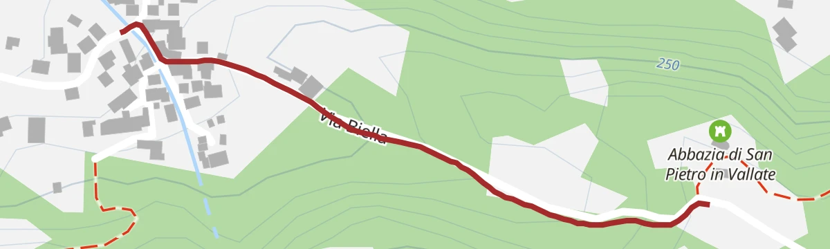
Open route Valtellina OutdoorA leap into the year one thousand at the remains of the Abbey of St. Peter in Vallate
4.8 km away, in Cosio Valtellino
A quarter-hour walk up from Piagno on a cobbled mule track to the ruins of a Cluniac priory founded in 1078, standing in a chestnut clearing.
- 511 m
- Distance
- 60 m
- Ascent
- 15 min
- Duration
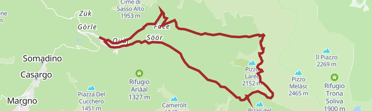
Open route Valtellina OutdoorTra il cielo e la Valsassina
7.4 km away, in Premana
A long ridge route from the Premana industrial area up the Maria Teresa road to the Alpe Forno, between the Valsassina, Valvarrone and Val Biandino.
- 20.0 km
- Distance
- 1 342 m
- Ascent
- 9 h 2 min
- Duration
- 27
- Check-ins
Sunny bike tour on the Cech Coast, the Valtellina coast
10.4 km away, in Morbegno
A loop from Morbegno over the Adda at Ponte di Ganda, climbing the sunny Costiera dei Cech to Santa Croce di Civo and the Torre di Domofole.
- 20.8 km
- Distance
- 919 m
- Ascent
- 2 h 37 min
- Duration
- 4
- Check-ins
Open route Valtellina OutdoorDascio - San Fedelino
8.5 km away, in Sorico
A walk from the church of San Biagio at Dascio towards the Sasso di Dascio and the small Romanesque chapel of San Fedelino by Lake Mezzola.
- 5.5 km
- Distance
- 373 m
- Ascent
- 2 h 30 min
- Duration
- 1
- Check-ins
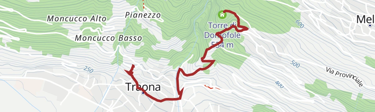
At Domofole Castle, a tower overlooking the lake
7.4 km away, in Traona
A short walk from the Gothic church of Sant'Alessandro down through Traona and over the Vallone stream, then up to the tower on the hillside above.
- 2.1 km
- Distance
- 277 m
- Ascent
- 1 h 11 min
- Duration
- 2
- Check-ins
Open route Valtellina Outdoor









No routes of this kind in Delebio yet.
The region's own picks

Featured route
Il Sentiero Valtellina
The Colico end of the Sentiero Valtellina, where the route along the Adda leaves the head of Lake Como for the valley.
Planning a trip to Delebio?
Everything else Lombardy has, in one place


Take Delebio with you into the mountains
Every route on this page with 3D terrain, GPX navigation and offline maps — including the valleys with no signal.
Data sources
- Official website: la-valtellina.com ↗
- Routes and highlights: Valtellina Outdoor, in Lombardia, Italia.it, Sondrio e Valmalenco
- Published as open data by the tourist boards named above.
- Region summary generated from the board's own material.
