
Curated by Vorarlberg Tourismus
Damüls
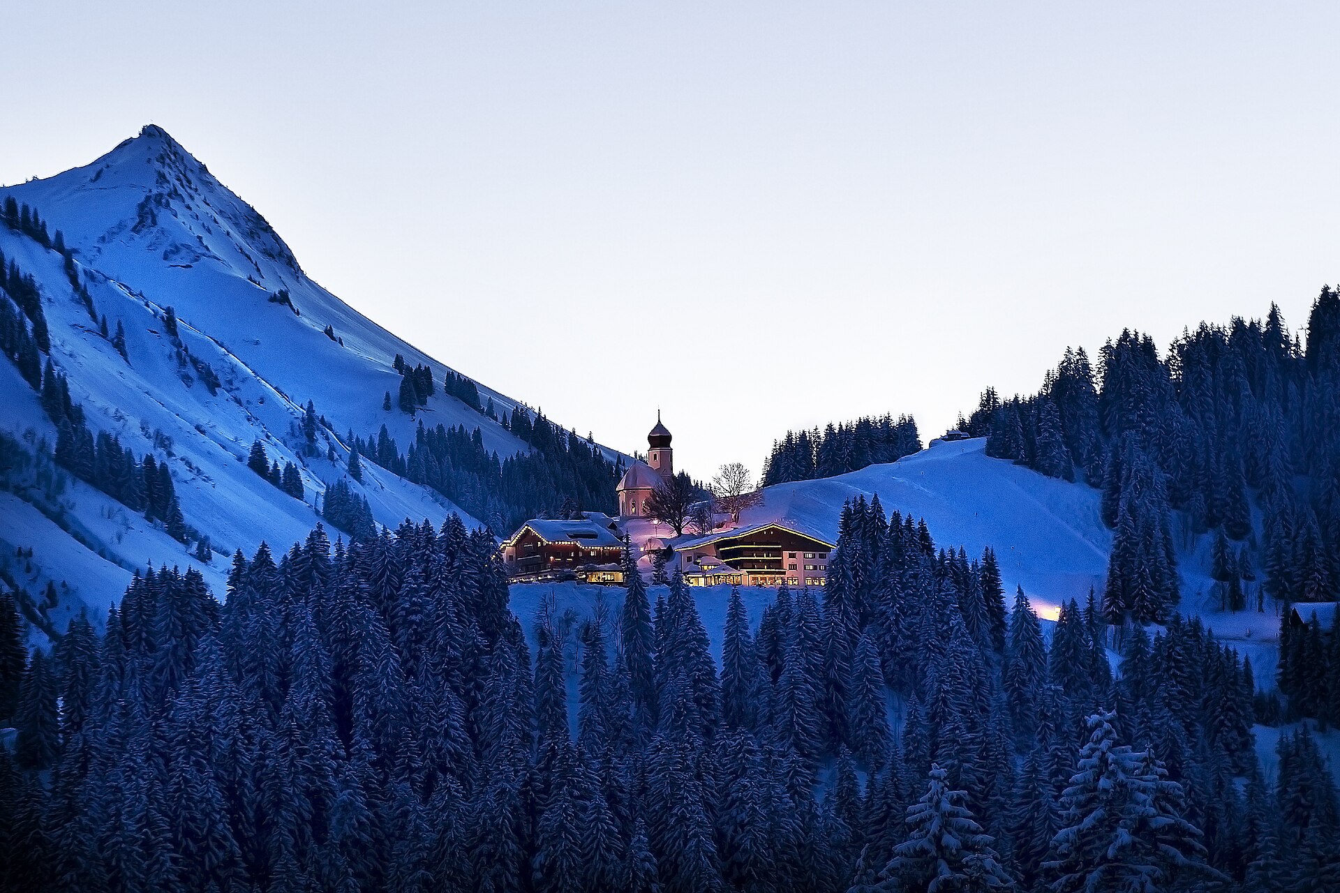
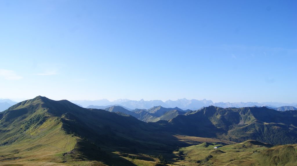
A Walser village at about 1430 m between the Bregenzerwald and the Großes Walsertal, statistically among Europe's snowiest villages, with ski slopes on every side.
- 8Highlights
- 30Routes
Highlights
7 from neighbouring places
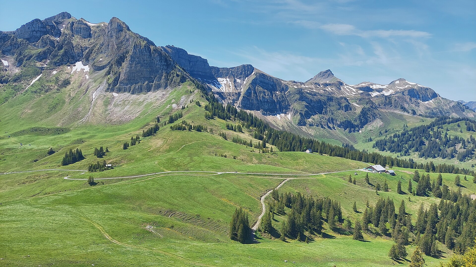
Alpe Portla
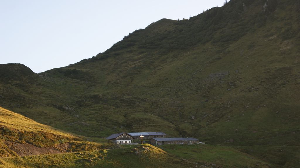
A cattle alp at about 1,710 m, some 400 m off the Furka road and a mile and a half from the Furkajoch.
Damülser Mittagsspitze
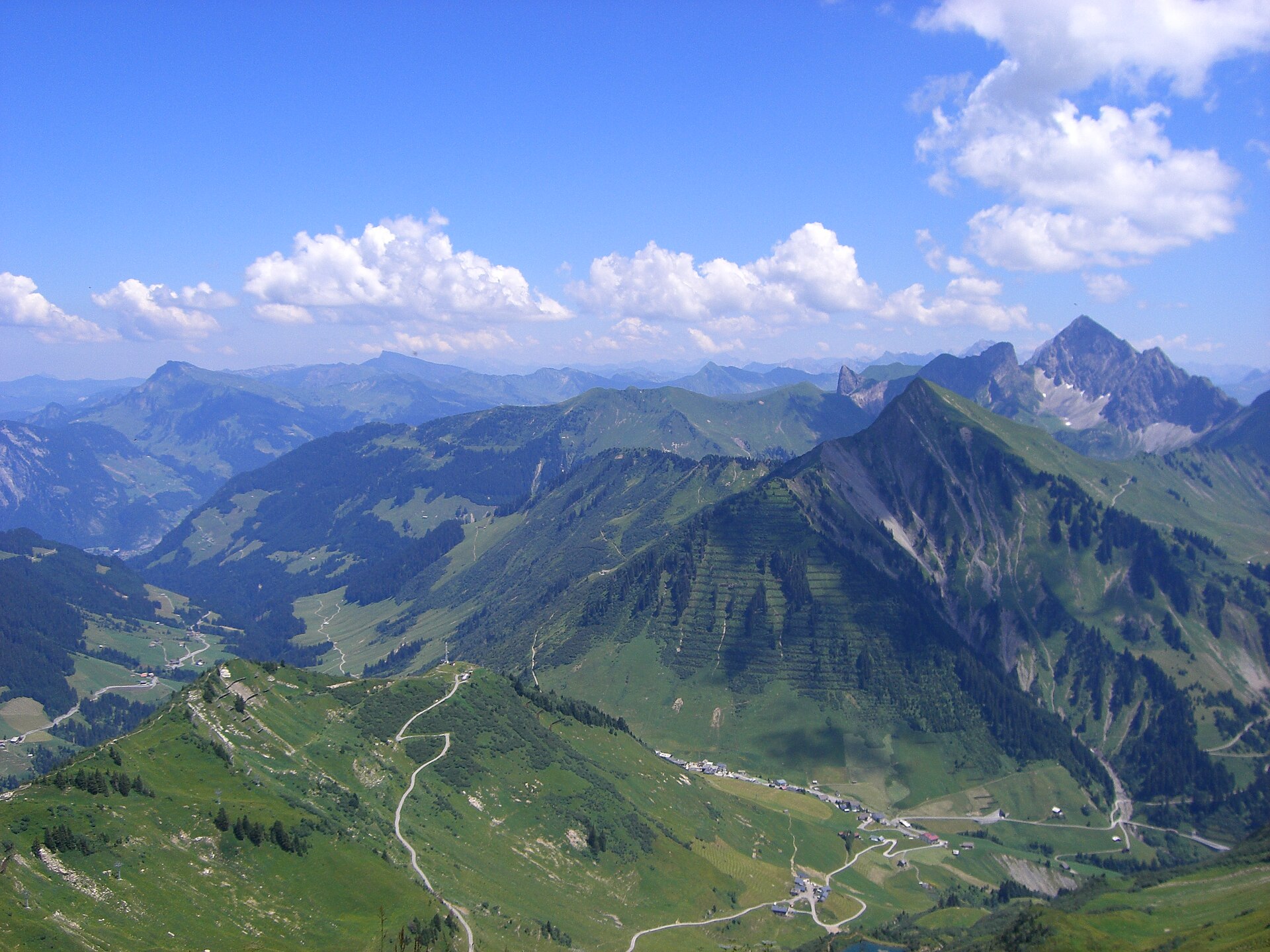
At 2,095 m the highest point of the municipality and the highest of the Damüls mountains.
Hochblanken
A 2,068 m summit on the ridge above Damüls, reached from the top of the Uga chairlift.
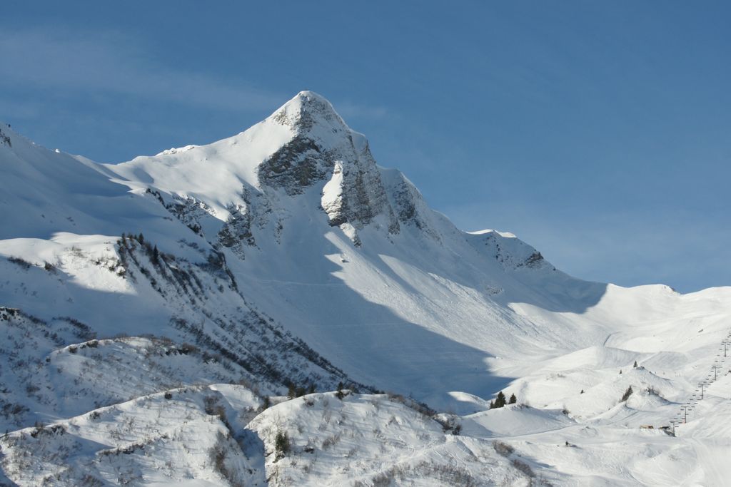
Portlahorn
A 2,010 m peak of the Bregenzerwald range, close to the Blauer See and about 3 km from the Furkajoch.
Ragazer Blanken
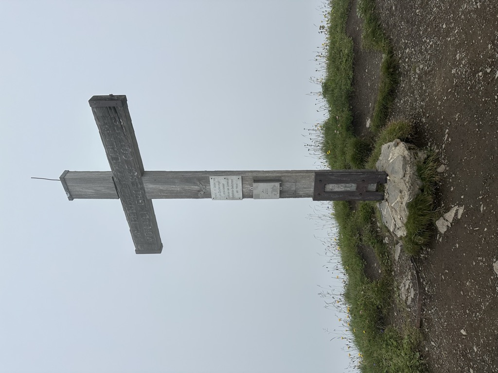
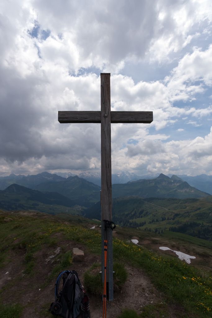
A 2,051 m secondary top of the Hochblanken in the Damüls mountains, its summit cross set on the marked high point.
Schneereich Damüls-Mellau-Faschina
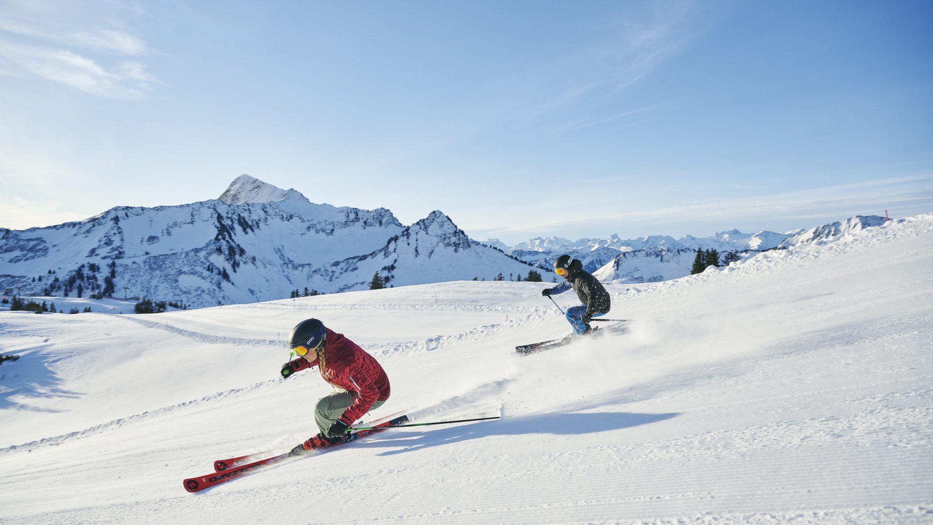
The linked ski area of three villages, where skiers at Damüls start from their own doorstep onto the pistes.
FIS Skimuseum in der Kulisse Pfarrhof in Damüls
A ski museum in the old parsonage, covering some 130 years of skiing in Vorarlberg.
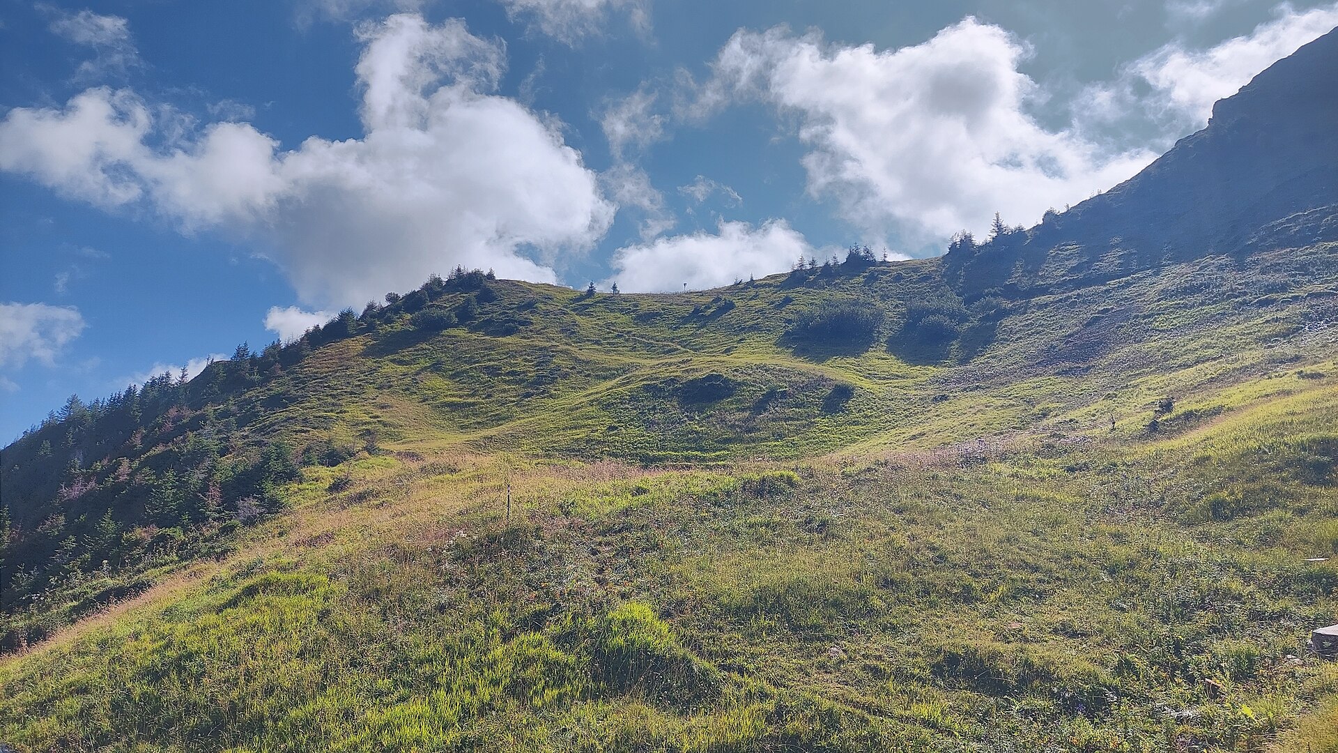
Hochblankensattel
A saddle at 1,980 m immediately below the Hochblanken, on the ridge walk above the village.
Damülser Horn
2.3 km away, in Fontanella
A secondary top of the Glatthorn, on the Fontanella side of the group.
Schluchtensattel
2.6 km away, in Fontanella
A saddle on the ridge between the Glatthorn group and the head of the Walsertal.
Glatthorn
2.9 km away, in Fontanella
At 2,133 m the highest of the Bregenzerwald mountains, standing west above the Faschinajoch.
Faschinajoch
3.4 km away, in Fontanella
The 1,486 m pass that carries the road between the Bregenzerwald and the Große Walsertal.
Gungern
3.7 km away, in Au
A 2,053 m top on the ridge that runs south from the village towards the Damüls mountains.
Bartholomäus Alpe
3.9 km away, in Fontanella
An alp above Fontanella where a cold drink and a plate of bread and cheese are always to be had.
Seraspitz
4.1 km away, in Blons
A top on the Walserkamm above the Alpe Sera, looking the length of the valley.
 Mountain hut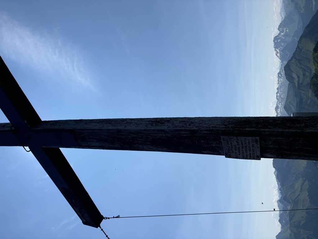
 Cable car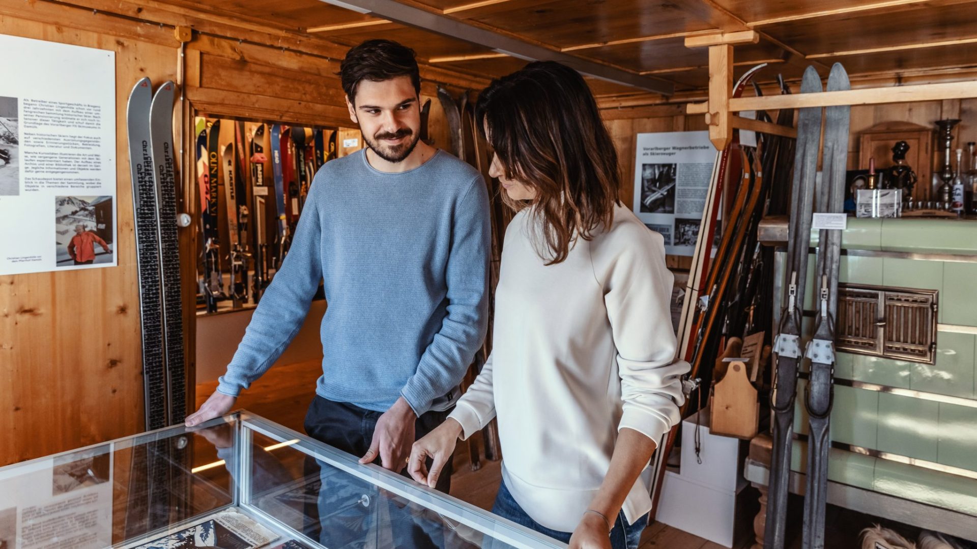
 Mountain pass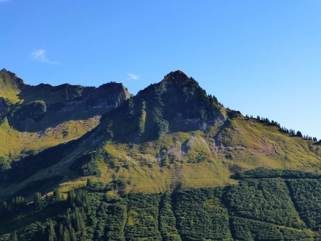
Nothing of this kind in Damüls.
Routes
Alphüttenwanderung Damüls-Mellau-Faschina - Teil 1
The first part of the alp-hut walk, from Damüls by the Stofel chapel and the alps to the Türtschalpe.
- 13.9 km
- Distance
- 598 m
- Ascent
- 5 h 6 min
- Duration
Open route Alpenregion VorarlbergDamüls | Vom Furkajoch zur Brandalp
A high traverse from the Portlaalp over the Portlahorn and the Blanken tops, dropping by the Elsenalp to Damüls.
- 15.7 km
- Distance
- 775 m
- Ascent
- 6 h 19 min
- Duration
Open route Vorarlberg TourismusDamüls - Damülser Horn
A ski tour from Damüls to Damülser Horn, 441 m of climbing in 3.9 km to a high point of 1,898 m.
- 3.1 km
- Distance
- 0 m
- Ascent
- 0 m
- Descent
- 45 min
- Duration
Open route PeakVisor tTRL (OpenStreetMap piste_type=skitour)Damüls | Skitour Portlahorn
The short version of the Portlahorn tour, suitable for beginners and often skinned at sunrise or sunset.
- 1.7 km
- Distance
- 381 m
- Ascent
- 0 m
- Descent
- 1 h 1 min
- Duration
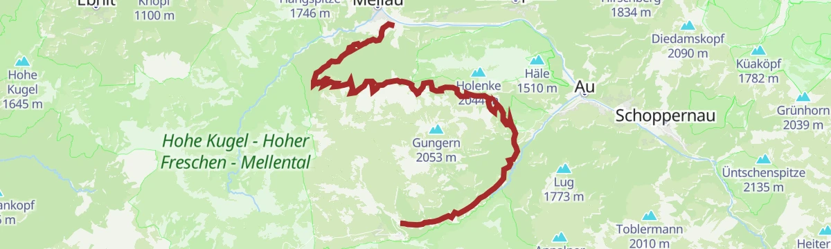
Open route Vorarlberg TourismusAu | Von Au nach Damüls
A demanding climb past the Argen and Bödmen alps to Damüls, returning to Au on gravel and tarmac.
- 33.1 km
- Distance
- 1 362 m
- Ascent
- 4 h 13 min
- Duration
Open route Vorarlberg TourismusAlpwandern | Damüls/Ugaalpe – Mellau/Rossstelle
A one-way crossing from Damüls over several staffed alps to the Roßstelle top station above Mellau.
- 10.2 km
- Distance
- 299 m
- Ascent
- 3 h 32 min
- Duration
Open route Vorarlberg TourismusDamüls | Zum Hohen Freschen
A long round by the Matonajöchle to the Freschenhaus and the Hohe Freschen, returning over the Sünsalpe.
- 19.3 km
- Distance
- 1 028 m
- Ascent
- 7 h 21 min
- Duration
Open route Vorarlberg TourismusDamüls - Glatthorn
From Damüls at 1,434 m, 660 m of ascent over 2.9 km to Glatthorn.
- 2.6 km
- Distance
- 0 m
- Ascent
- 0 m
- Descent
- 38 min
- Duration
Open route PeakVisor tTRL (OpenStreetMap piste_type=skitour)Damüls-Faschina | Skitour auf’s Portlahorn (2.010 m)
One of the most popular ski tours here, an easy panorama line above the ski area onto the 2,010 m Portlahorn.
- 2.7 km
- Distance
- 392 m
- Ascent
- 10 m
- Descent
- 1 h 10 min
- Duration
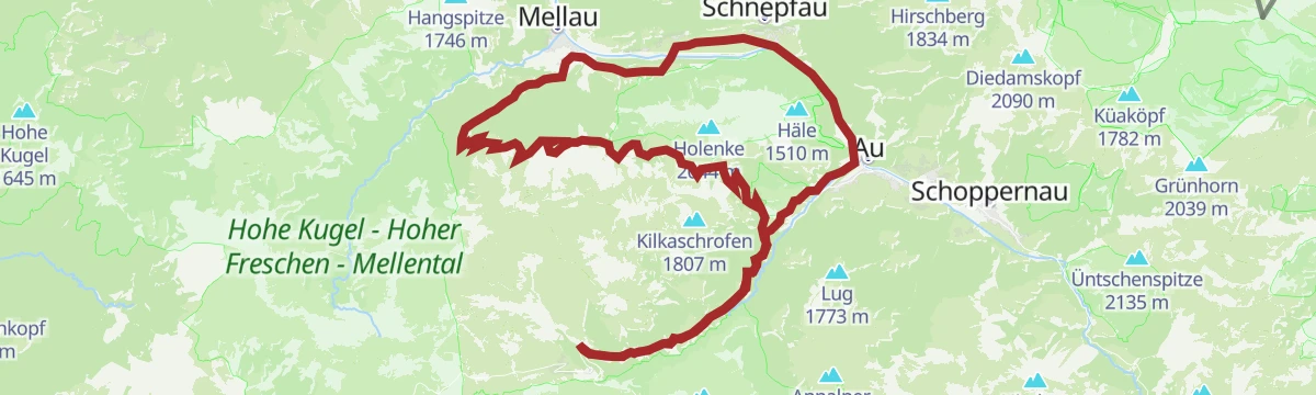
Open route Vorarlberg TourismusAu-Schoppernau | Damülser-Runde
The Damüls round from Au, beginning with a steep pull above the Argenschlucht to the Argenvorsäß.
- 32.9 km
- Distance
- 1 336 m
- Ascent
- 4 h 10 min
- Duration
Open route Vorarlberg TourismusDamüls Faschina | Sonnenauf- und Sonnenuntergangswanderung auf die Sünserspitze
A sunrise or sunset walk to the Sünserspitze above the Mellental, starting at the Furkastraße pass.
- 9.1 km
- Distance
- 494 m
- Ascent
- 3 h 30 min
- Duration
Open route Vorarlberg TourismusMellau | Sünserspitze (Abstieg nach Damüls)
A cable-car start to the Roßstelle, then a traverse of the alps to the Sünserspitze and down over the Sünser Joch to Damüls.
- 16.4 km
- Distance
- 891 m
- Ascent
- 6 h 23 min
- Duration
Open route Vorarlberg TourismusDamüls - Ragazer Blanken
Ragazer Blanken from Damüls: 613 m of climbing in 3.3 km, topping out at 2,041 m.
- 2.9 km
- Distance
- 0 m
- Ascent
- 0 m
- Descent
- 43 min
- Duration
Open route PeakVisor tTRL (OpenStreetMap piste_type=skitour)Bike & Hike | Auf die Mittagspitze
The Damüls circuit by bike with the Mittagspitze added on foot at its highest point.
- 35.0 km
- Distance
- 1 682 m
- Ascent
- 4 h 44 min
- Duration
Open route Vorarlberg TourismusDamüls | Alphüttenwanderung Damüls-Mellau-Faschina – Teil 2
The second stage of the Damüls alp-hut walk, from the Uga valley station by the Elsenalp to the Alpe Ragaz.
- 10.1 km
- Distance
- 580 m
- Ascent
- 4 h 4 min
- Duration
Open route Vorarlberg TourismusWalserherbst „Land Art“-Wanderung | Blons
A walk from Blons up the Walserkamm to Matthias Würfel's land-art installation near the Alpe Sera.
- 13.3 km
- Distance
- 1 046 m
- Ascent
- 5 h 25 min
- Duration
Open route Vorarlberg TourismusDamüls Faschina | Ragazer Blanken
An open-terrain descent from the Ragazer Bahn top station past the Alpe Ragaz, steepening beside the wood.
- 3.0 km
- Distance
- 0 m
- Ascent
- 606 m
- Descent
- 52 min
- Duration
Open route Vorarlberg TourismusDamüls | Mellau nach Damüls
A climb from the Mellau valley station over the Roßstelle and the Alpe Kanis to Damüls, ending past the Edelweiß inn.
- 25.4 km
- Distance
- 1 487 m
- Ascent
- 3 h 29 min
- Duration
Open route Vorarlberg TourismusDamüls | Alphüttenwanderung Damüls-Mellau-Faschina – Teil 3
The third stage of the alp-hut walk, a high round from the Uga top station over five alps under the Kanisfluh ridge.
- 13.7 km
- Distance
- 857 m
- Ascent
- 5 h 53 min
- Duration
Open route Vorarlberg TourismusSchwende - Elsenkopf
A ski tour from Schwende to Elsenkopf, 564 m of climbing in 2.7 km to a high point of 1,936 m.
- 2.3 km
- Distance
- 0 m
- Ascent
- 0 m
- Descent
- 34 min
- Duration
Open route PeakVisor tTRL (OpenStreetMap piste_type=skitour)Damüls | Rundtour um die Kanisfluh
A full lap of the Kanisfluh by road and alp track, over the Roßstelle and past the Berggasthaus Edelweiß.
- 44.4 km
- Distance
- 1 512 m
- Ascent
- 5 h 22 min
- Duration
Open route Vorarlberg TourismusDamüls | Rund um die Klippern
A lift-served circuit of the Klippern, passing the Damülser Mittagspitze and five working alps on the way round.
- 13.5 km
- Distance
- 759 m
- Ascent
- 5 h 22 min
- Duration
Open route Vorarlberg TourismusUntertobel - Elsenkopf
A ski tour from Untertobel to Elsenkopf, 683 m of climbing in 3.2 km to a high point of 1,927 m.
- 2.6 km
- Distance
- 0 m
- Ascent
- 0 m
- Descent
- 37 min
- Duration
Open route PeakVisor tTRL (OpenStreetMap piste_type=skitour)Damüls | Rundtour zur Alpe Schönenbach
A long circuit from Damüls through the valley villages to the alp settlement of Schönenbach and back over Au.
- 47.7 km
- Distance
- 1 473 m
- Ascent
- 5 h 37 min
- Duration
Open route Vorarlberg TourismusDamüls | Sünserspitze mit Sünsersee
The Wanderbus to the Alpe Portla, then the Sünser See and the summit, returning by the Sünser Joch.
- 8.2 km
- Distance
- 518 m
- Ascent
- 3 h 31 min
- Duration
Open route Vorarlberg TourismusDamüls | Von der Elsenalp zum Alpengasthaus Edelweiß
A descending traverse from the Uga top station across four alps to the Berggasthaus Edelweiß and the valley road.
- 11.0 km
- Distance
- 268 m
- Ascent
- 4 h 2 min
- Duration
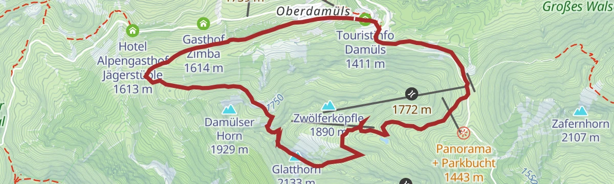
Open route Vorarlberg TourismusDamüls | Über die Unterdamülser Alpe auf’s Glatthorn
From the church village past the Alpe Unterdamüls and under the Damülser Horn to the 2,133 m Glatthorn.
- 11.3 km
- Distance
- 791 m
- Ascent
- 5 h 16 min
- Duration
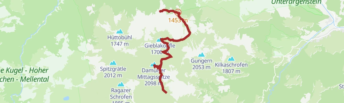
Open route Vorarlberg TourismusMellau | Damülser Mittagspitze (Abstieg über Alpe Uga)
The Mittagspitze from the Roßstelle top station, crossing the crest and dropping to the Alpe Uga for the bus back.
- 7.4 km
- Distance
- 712 m
- Ascent
- 3 h 37 min
- Duration
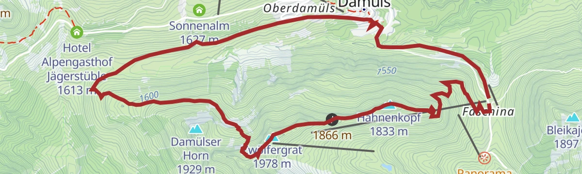
Open route Vorarlberg TourismusRundtour Faschina-Damüls-Faschina
A round from the Faschinajoch over the Hahnenkopf and the Alpe Unterdamüls to Damüls and back.
- 11.1 km
- Distance
- 631 m
- Ascent
- 4 h 26 min
- Duration
Open route Alpenregion VorarlbergSünserspitze ab Alpenstern Damüls
A loop from Damüls to the Sünserspitze, the ridge summit that stands above the Sünsersee on the Walserkamm.
- 11.7 km
- Distance
- 721 m
- Ascent
- 4 h 57 min
- Duration
Open route Vorarlberg Tourismus







No routes of this kind in Damüls yet.
Planning a trip to Damüls?
Everything else Vorarlberg has, in one place


Take Damüls with you into the mountains
Every route on this page with 3D terrain, GPX navigation and offline maps — including the valleys with no signal.
Data sources
- Official website: damuels.at ↗
- Routes and highlights: Vorarlberg Tourismus, PeakVisor / OpenStreetMap, PeakVisor tTRL (OpenStreetMap piste_type=skitour), Alpenregion Vorarlberg, Bregenzerwald Tourismus
- Published as open data by the tourist boards named above.
- Region summary generated from the board's own material.
