
 Historic site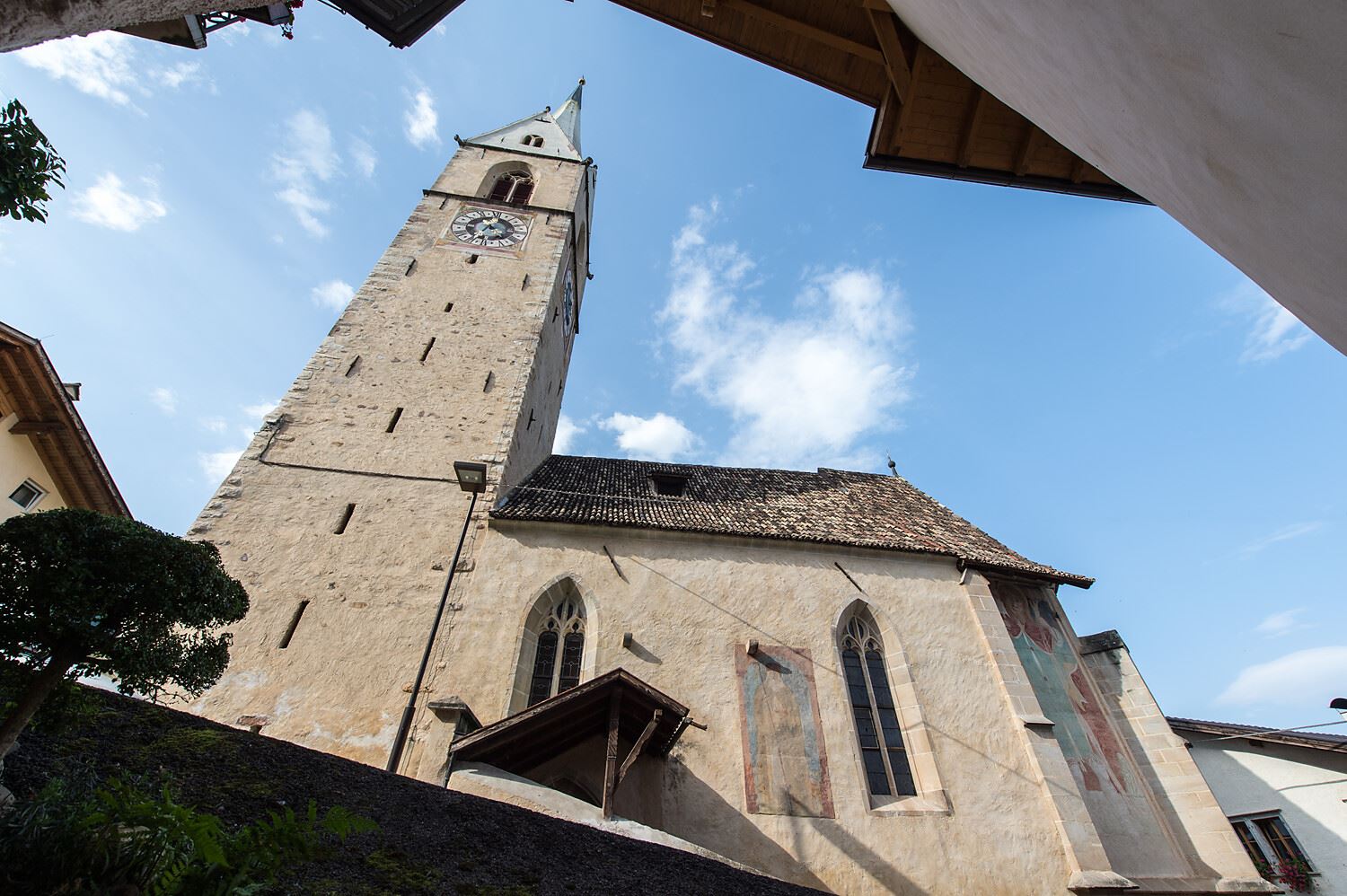
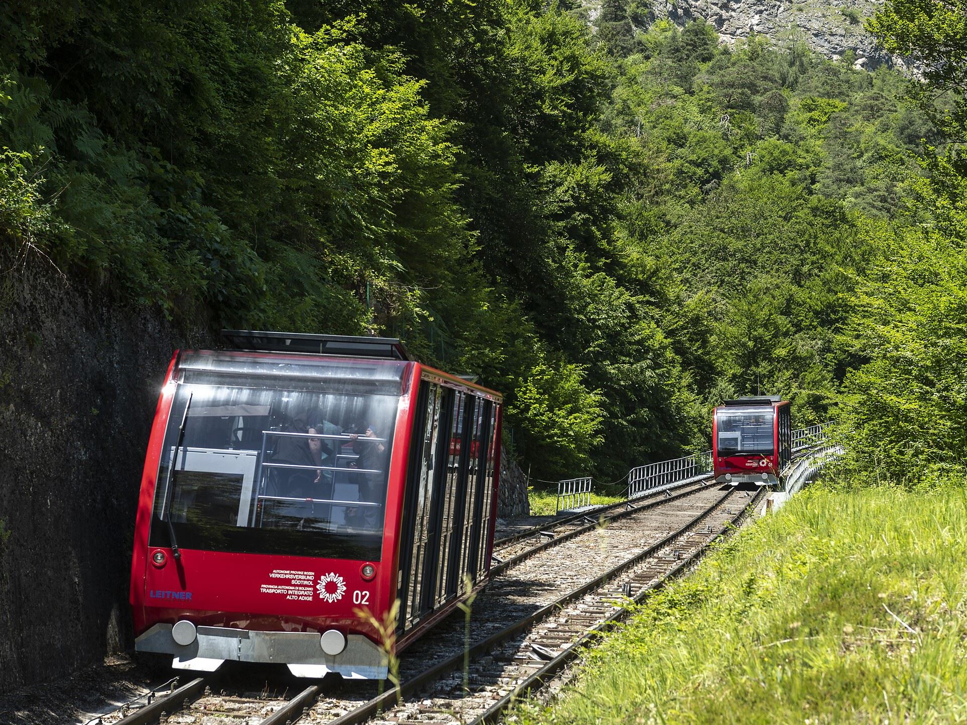
 Cable car












Curated by Südtirols Süden
Cortaccia sulla strada del vino/Kurtatsch an der Weinstraße
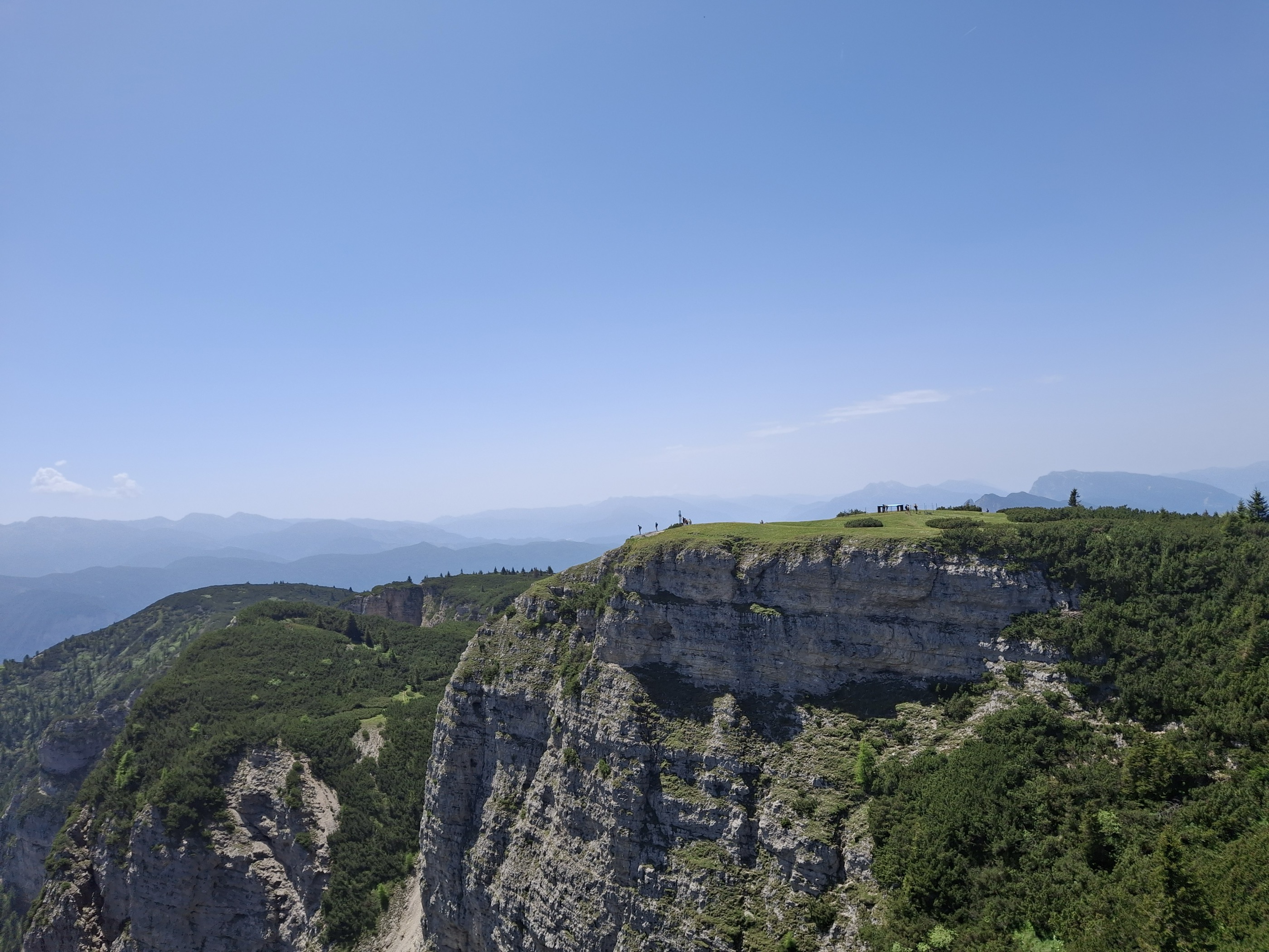
Bassa Atesina wine village on the Mendola slope, with a via ferrata climbing to Monte Roen above the vines.
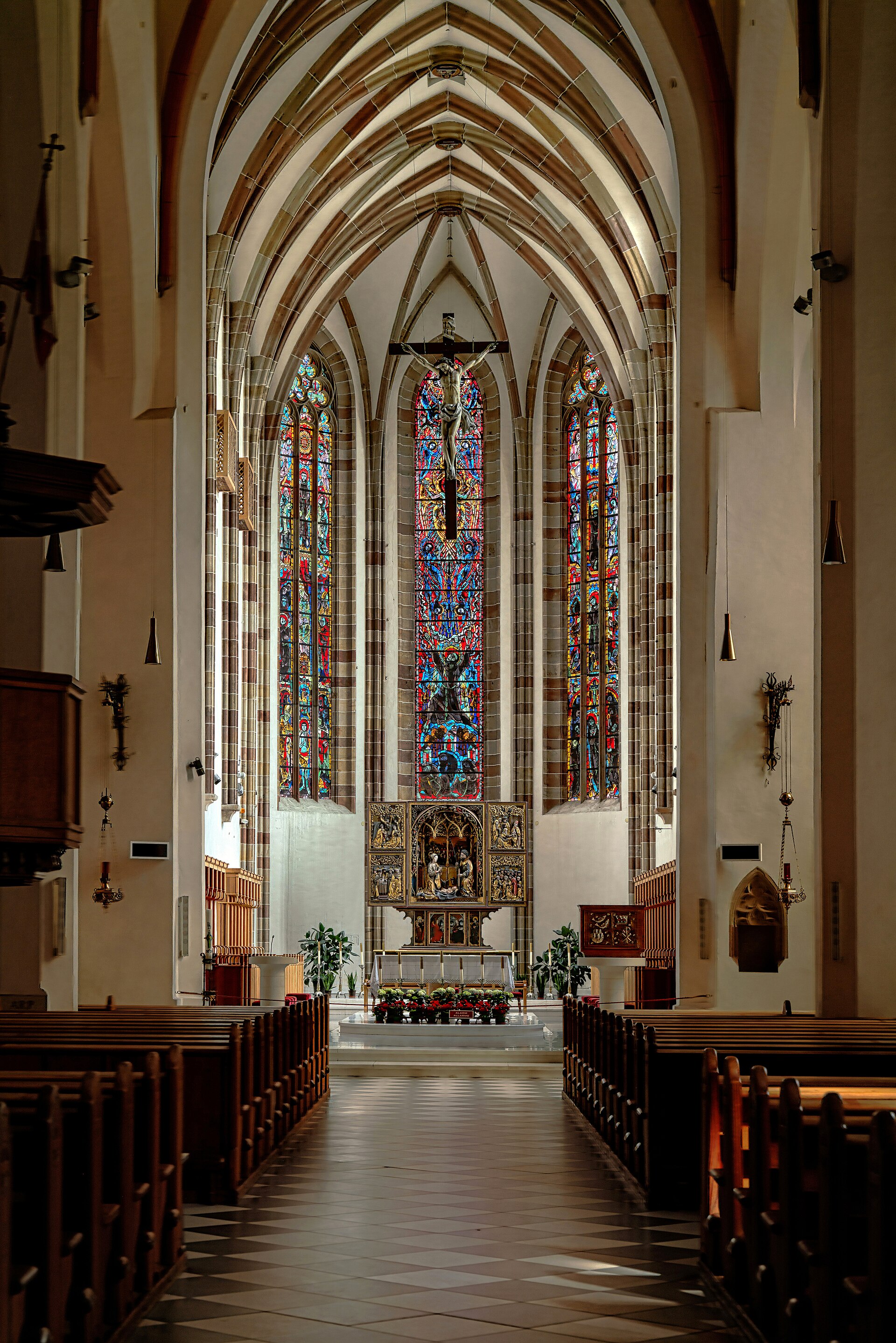
Photo: Rolf Kranz · CC BY-SA 4.0 licence
- 2Highlights
- 45Routes
- Featured summit · Roen
Highlights
13 from neighbouring places
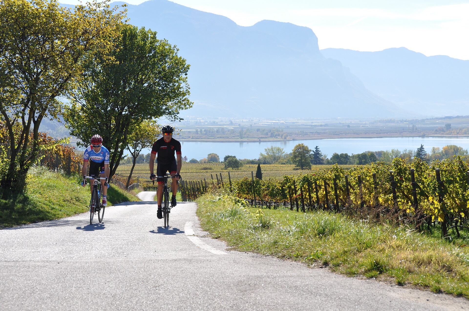
Tour in bicicletta: Lago di Caldaro
A cycle route from the Cortaccia vineyards down to the Caldaro lake, the warmest bathing lake in the Alps.
Tour in bicicletta:Lago di Monticolo- Lago di Caldaro
A cycle route linking the Monticolo and Caldaro lakes through the Bassa Atesina vineyards.
Ferrata dal rifugio Oltradige al Monte Roen
6.1 km away, in Termeno sulla strada del vino/Tramin an der Weinstraße
A via ferrata above Termeno, climbing from the Rifugio Oltradige to Monte Roen on the Mendola ridge west of the Val d'Adige.
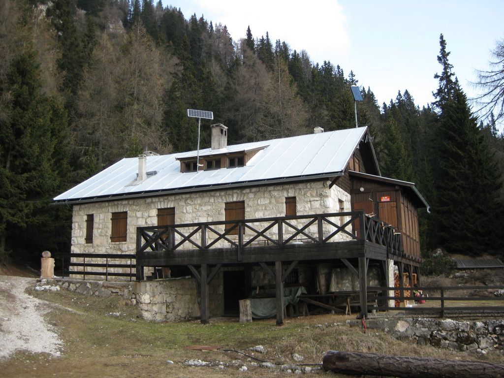
Rifugio Oltradige
6.1 km away, in Termeno sulla strada del vino/Tramin an der Weinstraße
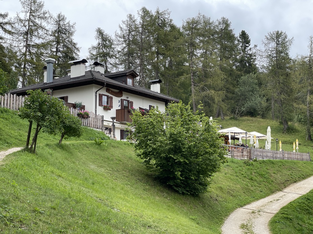
A refuge below Monte Roen on the Mendola ridge, reached from Termeno and Caldaro on the vineyard slopes of the Oltradige.
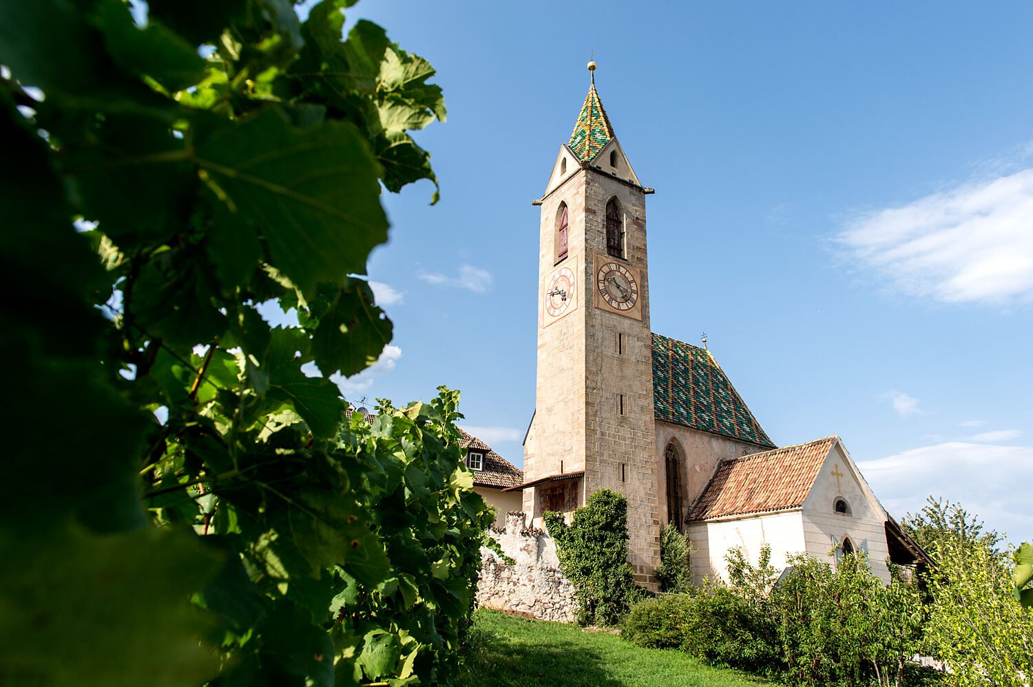
Chiesa S. Vigilio a Castelvecchio
7.8 km away, in Caldaro sulla strada del vino/Kaltern an der Weinstraße
The church of San Vigilio at Castelvecchio, above the Rastenbach gorge near Caldaro.
Chiesa S. Giuseppe al lago
8 km away, in Caldaro sulla strada del vino/Kaltern an der Weinstraße
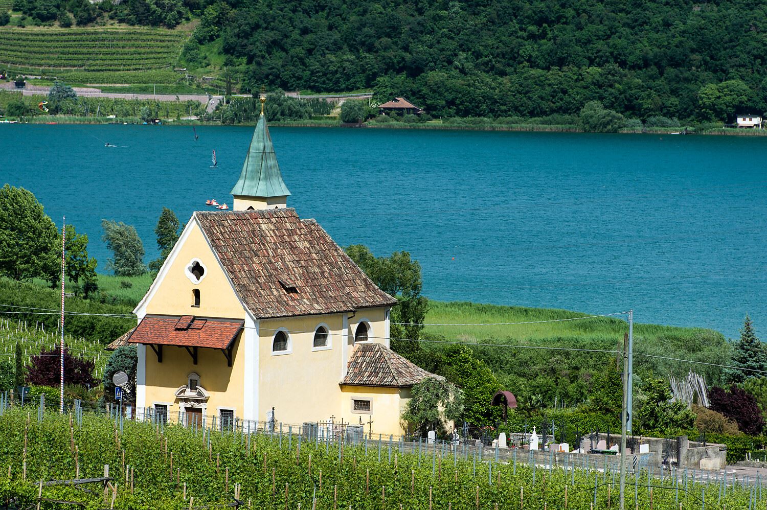
The church of San Giuseppe on the shore of Lake Caldaro.
Castelvecchio (Gola Rastenbach)
8 km away, in Caldaro sulla strada del vino/Kaltern an der Weinstraße
The ruins of Castelvecchio above the Rastenbach gorge, on the path between Caldaro and its lake.
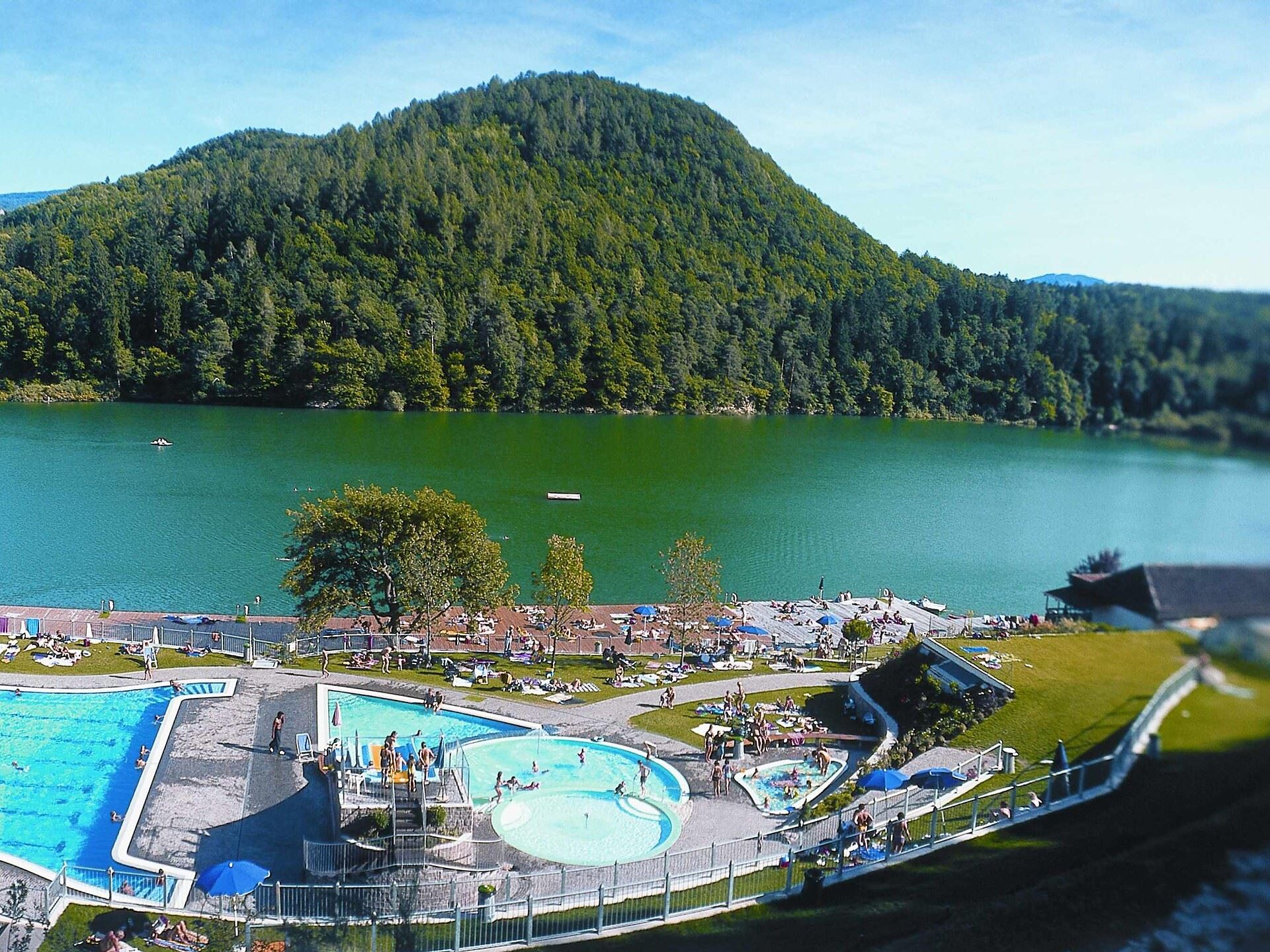
Lago di Caldaro
8.7 km away, in Caldaro sulla strada del vino/Kaltern an der Weinstraße
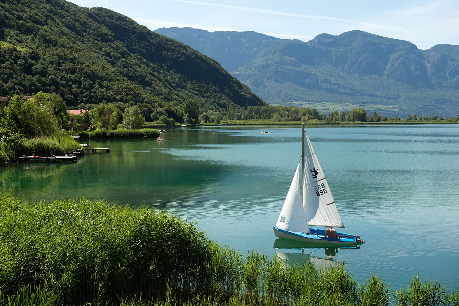
The warmest bathing lake in the Alps, in the vineyards below the Mendola ridge south of Bolzano.
Rifugio Mezzavia
9 km away, in Cavareno
A refuge on the wooded slopes above Cavareno in the Val di Non, on the way up towards Monte Roen.
Sterzing, Pfitsch und FreienfeldPercorso accessibile a tutti al lago
9.1 km away, in Caldaro sulla strada del vino/Kaltern an der Weinstraße
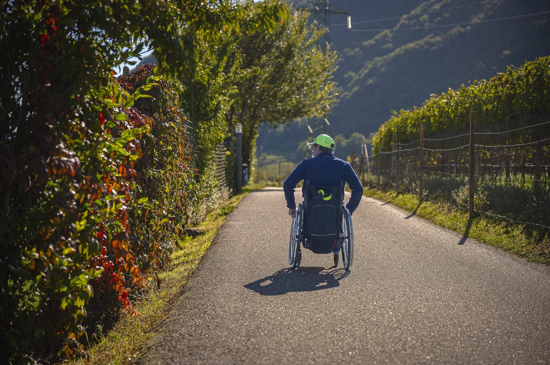
A level, step-free path around part of the Caldaro lake, the warmest bathing lake in the Alps.
Thalhof al Lago
9.1 km away, in Caldaro sulla strada del vino/Kaltern an der Weinstraße
A lakeside bathing house on Lake Caldaro, among the vineyards of the Wine Road.
Da S. Antonio attraverso la Gola Rastenbach e il sentiero della Pace
9.9 km away, in Caldaro sulla strada del vino/Kaltern an der Weinstraße
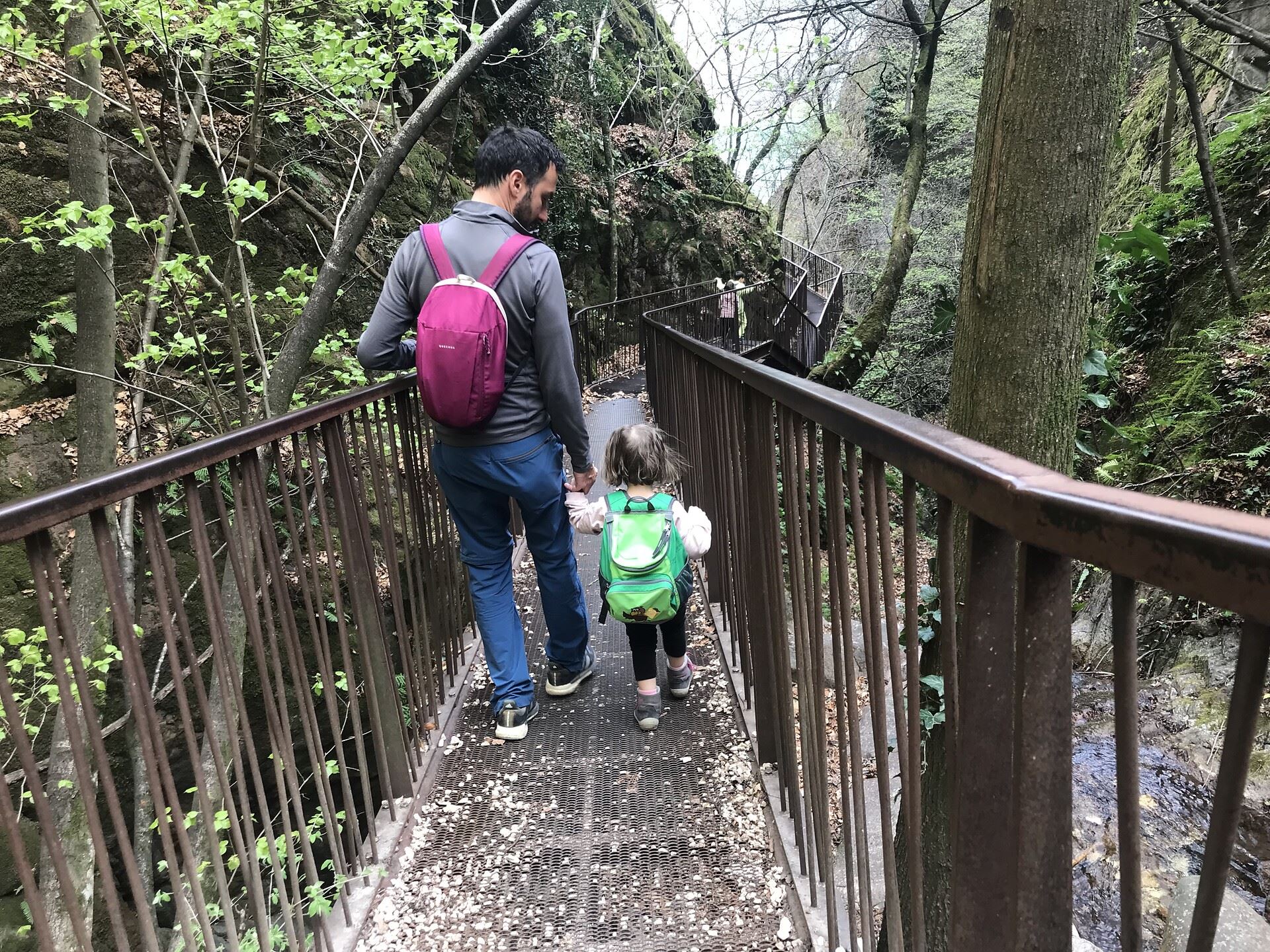
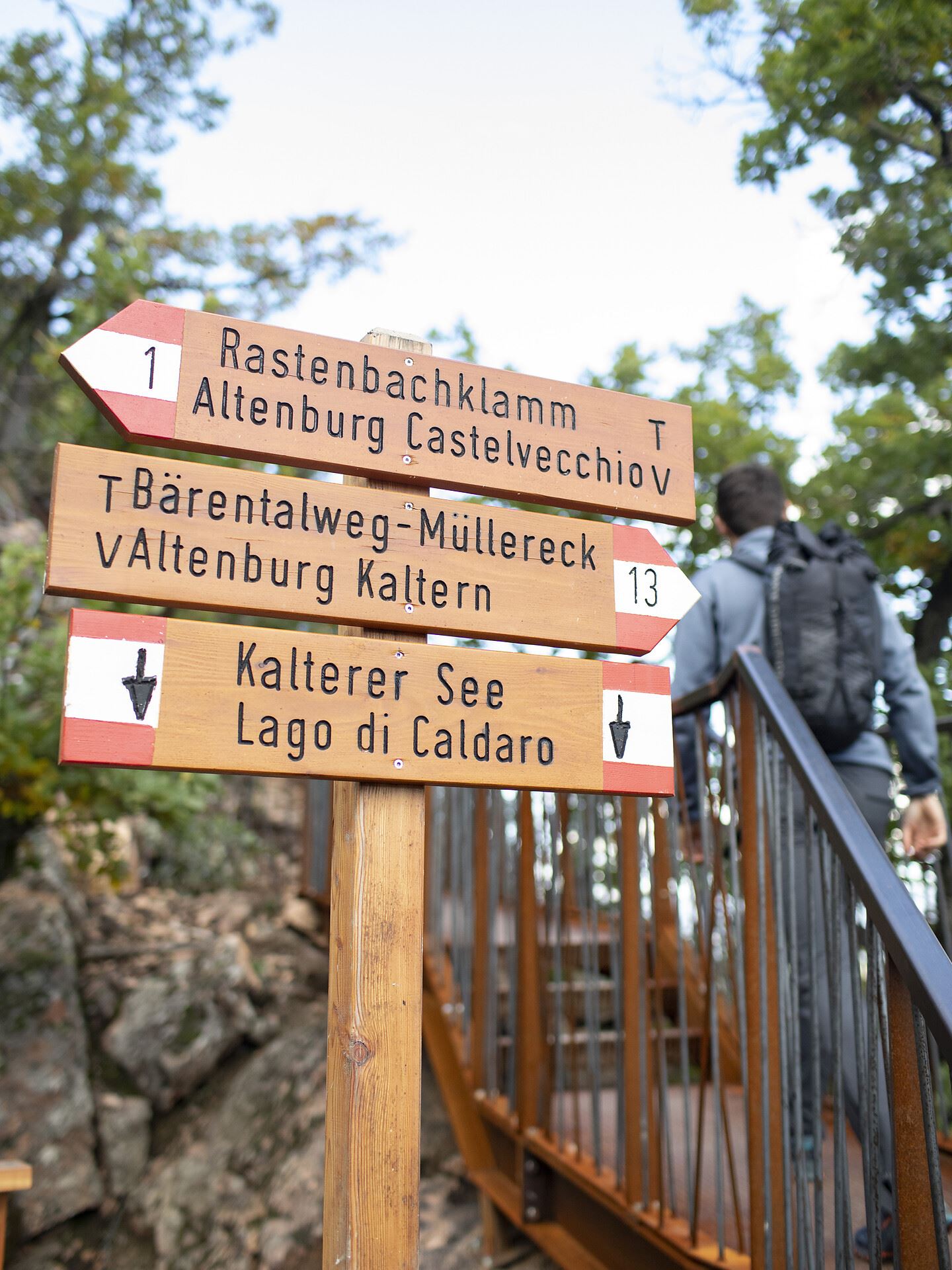
The Rastenbach gorge above Caldaro, where a stepped path passes a Romanesque chapel on the way to the lake.
Castel Ringberg
9.9 km away, in Caldaro sulla strada del vino/Kaltern an der Weinstraße
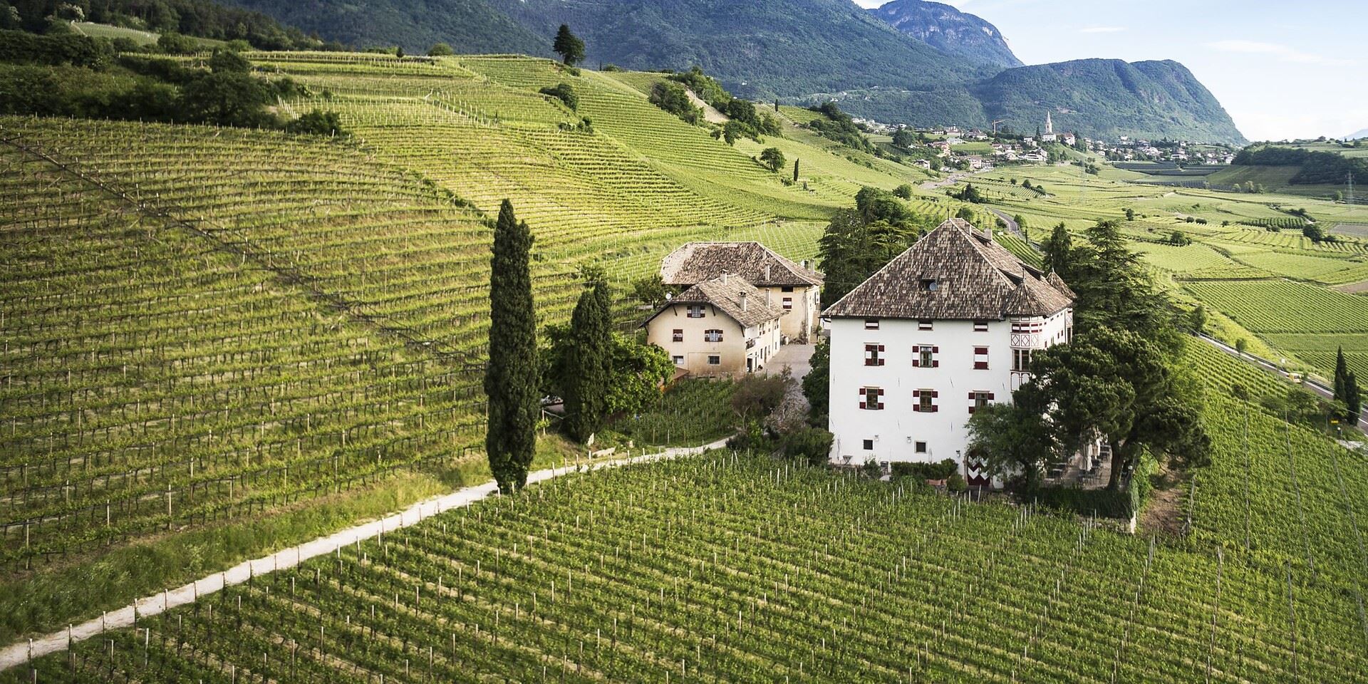
A Renaissance manor of the prince-bishops above Lake Caldaro, still a working wine estate.
Chiesa a S. Antonio
11.1 km away, in Caldaro sulla strada del vino/Kaltern an der Weinstraße
The church of Sant'Antonio at Caldaro, on the terrace above the lake.
Funicolare della Mendola
11.7 km away, in Caldaro sulla strada del vino/Kaltern an der Weinstraße
The Mendola funicular, opened in 1903 and among the steepest in Europe, climbing from Caldaro to the pass at 1,363 m.
Nothing of this kind in Cortaccia sulla strada del vino/Kurtatsch an der Weinstraße.
Routes
Apfelweg Tramin/Kurtatsch
A themed path through the orchards between Tramin and Kurtatsch, on how South Tyrolean apples are grown along the wine road.
- 5.0 km
- Distance
- 101 m
- Ascent
- 1 h 23 min
- Duration
- 6
- Check-ins
Tresner Horn
The ascent of the Corno di Tres from the Favogna side, on the ridge between the Adige valley and the Val di Non.
- 8.1 km
- Distance
- 601 m
- Ascent
- 3 h 57 min
- Duration
- 20
- Check-ins
M-18 Roen
A long route from the Adige valley at Termeno up to the Roen, its summit cross and the Sas de la Prieda on the Mendola ridge.
- 41.4 km
- Distance
- 2 005 m
- Ascent
- 14 h 49 min
- Duration
- 165
- Check-ins
MTB a Malga Cislon
A long climb off the Adige floor near Castelfeder up to Malga Cislon at 1,254 m, where a fire pond sits beside the pasture.
- 48.3 km
- Distance
- 1 326 m
- Ascent
- 5 h 32 min
- Duration
- 46
- Check-ins
 Cislon-Alm - Malga Cislon 1 254 m
 Bacino Antincendio - Löschweiher 1 244 m
- ex Stazione di Pausa 962 m
- House Castelfeder 331 m
- Castelfeder - Grill-Imbiss - ristoro 221 m
- Lamberthof 734 m
- +3
Mendola route
A big day from Mezzocorona with the Denno ramp and then the Passo della Mendola, returning through Val di Non orchards and Wine Road vineyards.
- 98.7 km
- Distance
- 1 622 m
- Ascent
- 10 h 17 min
- Duration
- 123
- Check-ins
 Dosso Santa Margherita 307 m
 Passo della Mendola - Mendelpass 1 363 m
- Azienda per il Turismo Val di Non 1 364 m
- La Rocchetta 2019 270 m
- Castel Ringberg 306 m
- Paradiso 1 282 m
- +11
Open route VisitTrentinoHofstatt
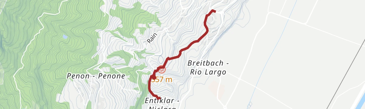
A short climb from Cortaccia to the hamlet of Hofstatt, on the wooded slope above the vineyards.
- 4.9 km
- Distance
- 321 m
- Ascent
- 2 h 9 min
- Duration
- 3
- Check-ins
Corno di Tres
The climb on trail 3 from the Favogna road to the Fenner Joch and up the Barbara path to the Corno di Tres, over the Adige valley.
- 7.9 km
- Distance
- 635 m
- Ascent
- 4 h 4 min
- Duration
- 20
- Check-ins
Open route Südtirols SüdenG-GE-01 Kurtatsch–Margreid Runde
A long circuit through vineyards and woods between Kurtatsch and Margreid, on the western slope of the lower Adige valley.
- 16.2 km
- Distance
- 525 m
- Ascent
- 5 h 6 min
- Duration
- 8
- Check-ins
MTB Tour Graun
A climb of a thousand metres from the Weinstraße up to the scattered farms of Graun above Kurtatsch, passing the Hintersegg climbing crag.
- 22.1 km
- Distance
- 1 031 m
- Ascent
- 2 h 56 min
- Duration
- 11
- Check-ins
Loop with climb to Mendola Pass
A near-100 km road circuit from the Val di Non over into the Adige valley, returning by the climb to the Passo della Mendola.
- 98.9 km
- Distance
- 1 712 m
- Ascent
- 10 h 23 min
- Duration
- 117
- Check-ins
- Dosso Santa Margherita 307 m
- Passo della Mendola - Mendelpass 1 363 m
- Azienda per il Turismo Val di Non 1 364 m
- La Rocchetta 2019 270 m
- Maso Cervara 245 m
- Castel Ringberg 306 m
- +8
Open route APT Val di NonKatzenleiter
A short walk on the Katzenleiter above Cortaccia, a steep old stepped track between orchards and vineyards.
- 2.5 km
- Distance
- 108 m
- Ascent
- 51 min
- Duration
- 3
- Check-ins
Favogna di Sopra – Fenner Joch – Favogna di Sopra
From Favogna di Sopra on trail 3 to the Rotwand hollow, then up the Rätersteig onto the Fenner Joch saddle and back the same way.
- 10.5 km
- Distance
- 823 m
- Ascent
- 5 h 20 min
- Duration
- 20
- Check-ins
Open route Südtirols SüdenM-20 Verbrenntes Egg
A long route above Tramin to the Verbrenntes Egg, climbing through woods on the flank below the Mendola.
- 18.5 km
- Distance
- 1 604 m
- Ascent
- 7 h 11 min
- Duration
- 8
- Check-ins
From the Plateau to the "Wine-road"
A long road tour down to the Adige and north along the South Tyrolean wine road as far as the Lago di Caldaro, returning over Passo Santel.
- 100.2 km
- Distance
- 1 290 m
- Ascent
- 10 h 6 min
- Duration
- 105
- Check-ins
- Tre3 1 037 m
- Albergo El Paso 1 036 m
- Passo Santel 1 040 m
- La Rocchetta 2019 270 m
- Maso Cervara 245 m
- APT Dolomiti Paganella 1 021 m
- +14
Open route APT Dolomiti di Brenta e PaganellaFarmhouse tour in Kurtatsch
A walk round the old buildings of Cortaccia, with codes on the walls explaining the former jail, the Nocker house and the Schnoatstall.
- 4.3 km
- Distance
- 152 m
- Ascent
- 1 h 23 min
- Duration
- 3
- Check-ins
Open route Südtirols SüdenRungg
A loop from Cortaccia to Termeno and back by way of Ronchi, on historic lanes between the vineyards.
- 8.4 km
- Distance
- 250 m
- Ascent
- 2 h 35 min
- Duration
- 8
- Check-ins
Il sentiero di Dürer
A long low route on the Dürer trail, the way the painter is said to have travelled between the Cembra valley and the Adige.
- 22.7 km
- Distance
- 428 m
- Ascent
- 6 h 22 min
- Duration
- 8
- Check-ins
Roadbike: Valle di Cembra
A hundred-kilometre road tour from the Weinstraße down to Lavis, then up the terraced Cembra valley and back over the San Lugano pass.
- 99.7 km
- Distance
- 1 141 m
- Ascent
- 9 h 55 min
- Duration
- 64
- Check-ins
- Prati Del Diavolo 208 m
- Cappella della Beata Vergine del Rosario della nuova Pompei 985 m
- Al Ponte - Brückenwirt 764 m
- Ristorante Bar Vecchia Stazione 1 010 m
- B&B Casa Giovannelli 1 013 m
- Hotel Pausa 922 m
- +10
Open route Südtirols SüdenKurtatsch/Cortaccia – Penon/Penone - Kurtatsch/Cortaccia
A round from the square at Cortaccia by the Mariahilf lane and Hofstatt to Penone, among farms and old poplars.
- 6.4 km
- Distance
- 290 m
- Ascent
- 2 h 13 min
- Duration
- 3
- Check-ins
Open route Südtirols SüdenTraminer Höhenwanderweg
The Tramin high path, running along the slope above the village between vineyards, woods and the cliffs below the Mendola.
- 14.4 km
- Distance
- 788 m
- Ascent
- 5 h 37 min
- Duration
- 8
- Check-ins
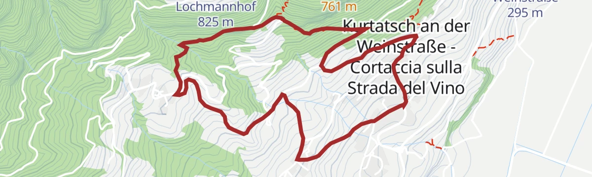
Kurtatsch – Grauner hill
A long demanding climb from Cortaccia by Corona and Penone up to the Grauner Joch, high above the wine villages.
- 25.9 km
- Distance
- 1 476 m
- Ascent
- 10 h 23 min
- Duration
- 8
- Check-ins
- Baumgartnerhof 813 m
- Turismusverein Kurtatsch - Informazioni Turistiche Cortaccia 344 m
- Lochmannhof 825 m
Open route Südtirols SüdenRadweg Unterland
A vineyard circuit south from Kurtatsch to Margreid, home of a grapevine planted in 1601, and Salurn, back along the Adige and past Lake Kaltern.
- 44.3 km
- Distance
- 254 m
- Ascent
- 4 h 10 min
- Duration
- 45
- Check-ins
- Appartement Florian 255 m
- Castelfeder - Grill-Imbiss - ristoro 221 m
- Turismusverein Kurtatsch - Informazioni Turistiche Cortaccia 344 m
- Pub Pizzeria Weinstraße 295 m
- Tramin 277 m
- Viktor's Imbiss 223 m
- +2
Open route Südtirols SüdenMurundum percorso nr. 1 - "Lottersteig"
A short walk on the Lottersteig at Cortaccia, above the cemetery chapel, where tufa-forming water drops into the Millabach.
- 2.6 km
- Distance
- 91 m
- Ascent
- 50 min
- Duration
- 3
- Check-ins
Open route Sterzing, Pfitsch und FreienfeldCortaccia – Lochweg - Graun – Alter Grauner Weg - Cortaccia
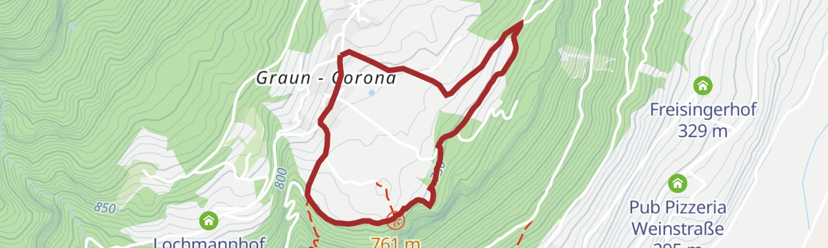
A ring from Cortaccia on the Lochweg forest path up to Corona, returning on the old Graun road past the church of San Giorgio.
- 6.6 km
- Distance
- 474 m
- Ascent
- 3 h 8 min
- Duration
- 7
- Check-ins
Open route Südtirols SüdenBike Tour: Waltherplatz
A long day from Kurtatsch to Bolzano on the Adige cycle path, returning over the Überetsch railway line through Eppan, Kaltern and Tramin.
- 62.7 km
- Distance
- 505 m
- Ascent
- 6 h 2 min
- Duration
- 39
- Check-ins
- Tourist Information 261 m
- Maso al Lago - Schenk 237 m
- Castelfeder - Grill-Imbiss - ristoro 221 m
- Turismusverein Kurtatsch - Informazioni Turistiche Cortaccia 344 m
- Tramin 277 m
- Freisingerhof 329 m
- +1
Open route Südtirols SüdenMurundum percorso nr. 6 - "Hofstatt"
A climb above Cortaccia on the old Corona path, passing below the Marderplatte crag, to the small hamlet of Hofstatt.
- 4.9 km
- Distance
- 321 m
- Ascent
- 2 h 9 min
- Duration
- 3
- Check-ins
Open route Sterzing, Pfitsch und FreienfeldDurch die Weinberge nach Kurtatsch
A walk from Tramin through the vineyards over to Kurtatsch, on the terraces above the Adige valley.
- 8.7 km
- Distance
- 326 m
- Ascent
- 2 h 51 min
- Duration
- 6
- Check-ins
Roadbike: Südtiroler - Trientner Weinstraßen
A road tour south under the cliffs to Mezzocorona and Lavis, climbing to Pressano above the Trentino vineyards before the Adige path home.
- 73.5 km
- Distance
- 810 m
- Ascent
- 7 h 17 min
- Duration
- 38
- Check-ins
- Prati Del Diavolo 208 m
- Turismusverein Kurtatsch - Informazioni Turistiche Cortaccia 344 m
- Pub Pizzeria Weinstraße 295 m
- Passo Croce 616 m
- gas 212 m
- Da Silvio 211 m
- +6
Open route Südtirols SüdenSentiero delle mele Termeno/Cortaccia
A family theme trail of some four kilometres through orchards and vineyards between Termeno and Cortaccia, on apple growing in South Tyrol.
- 4.0 km
- Distance
- 98 m
- Ascent
- 1 h 6 min
- Duration
- 3
- Check-ins
Open route Sterzing, Pfitsch und FreienfeldÜber den Lochweg nach Graun
A climb from Tramin on the Lochweg up to the hamlet of Graun, above the vineyards on the way to the Mendola.
- 8.8 km
- Distance
- 629 m
- Ascent
- 4 h 10 min
- Duration
- 6
- Check-ins
Bike tour: Lake Monticolo- Lake di Caldaro
A ride from Neumarkt and Auer up to the two Montiggl lakes on a forest road, returning down the western shore and through Tramin and Rungg.
- 39.9 km
- Distance
- 493 m
- Ascent
- 3 h 60 min
- Duration
- 31
- Check-ins
- Seehotel Ambach 223 m
- Castelfeder - Grill-Imbiss - ristoro 221 m
- Turismusverein Kurtatsch - Informazioni Turistiche Cortaccia 344 m
- Tramin 277 m
- Viktor's Imbiss 223 m
- Freisingerhof 329 m
Open route Südtirols SüdenPercorso eno
A short wine-country walk through the terraced vineyards of Cortaccia on the South Tyrolean wine road.
- 1.9 km
- Distance
- 74 m
- Ascent
- 40 min
- Duration
Kastelaz-Familienweg Tramin/Kurtatsch
A family path on the Kastelaz slope between Tramin and Kurtatsch, with stations along the way and the Adige valley below.
- 7.5 km
- Distance
- 282 m
- Ascent
- 2 h 28 min
- Duration
- 5
- Check-ins
Southern Wine Route, Wine & bike: Gewürztraminer and Pinot Noir
A wine-village tour to Salorno and back by way of Egna, Ora and Lake Kaltern, over the Kreiter Sattel; the Salorno-Ora leg can go by train.
- 46.8 km
- Distance
- 410 m
- Ascent
- 4 h 32 min
- Duration
- 31
- Check-ins
- Seehotel Ambach 223 m
- Appartement Florian 255 m
- Castelfeder - Grill-Imbiss - ristoro 221 m
- Turismusverein Kurtatsch - Informazioni Turistiche Cortaccia 344 m
- Tramin 277 m
- Kreiter Sattel - Sella di Novale al Varco 382 m
- +5
Open route Südtirols SüdenSitzkofel
An easy walk to the Sitzkofel knoll above Cortaccia, through vineyards and orchards on the slopes of the wine road.
- 2.7 km
- Distance
- 71 m
- Ascent
- 48 min
- Duration
Informative wine trail Cortaccia Magrè Cortina
A themed route among the Cortaccia vineyards, with stations explaining the working year from vine to finished wine.
- 8.3 km
- Distance
- 132 m
- Ascent
- 2 h 22 min
- Duration
- 5
- Check-ins
Open route Südtirols SüdenUna piacevole escursione in bici al Lago di Caldaro
A long flat ride from Cortaccia along the Adige valley to Lake Caldaro, through vineyards and orchards.
- 28.9 km
- Distance
- 137 m
- Ascent
- 2 h 42 min
- Duration
- 27
- Check-ins
Murundum percorso nr. 3 - "Sitzkofel"
Number 3 of the Murundum circuits, leaving Corona on the Lochweg and passing a restored lime kiln above the Corona crags.
- 2.7 km
- Distance
- 71 m
- Ascent
- 48 min
- Duration
Open route Sterzing, Pfitsch und FreienfeldKofl
A walk on the Kofl slope above Magrè, rising through vineyards and woodland on the western side of the Adige valley.
- 6.9 km
- Distance
- 472 m
- Ascent
- 3 h 9 min
- Duration
Bike Tour:Unterland
A tour of the southern wine villages from Kurtatsch by way of Margreid and Kurtinig to Salurn, with the Haderburg above and Laag on the way home.
- 46.3 km
- Distance
- 348 m
- Ascent
- 4 h 26 min
- Duration
- 19
- Check-ins
- Castelfeder - Grill-Imbiss - ristoro 221 m
- Turismusverein Kurtatsch - Informazioni Turistiche Cortaccia 344 m
- Tramin 277 m
- Viktor's Imbiss 223 m
- Freisingerhof 329 m
- Maval - Centro di Ippoterapia - Hippotherapiezentrum 209 m
- +3
Open route Südtirols SüdenPenone – Hirschbettweiher- Penone
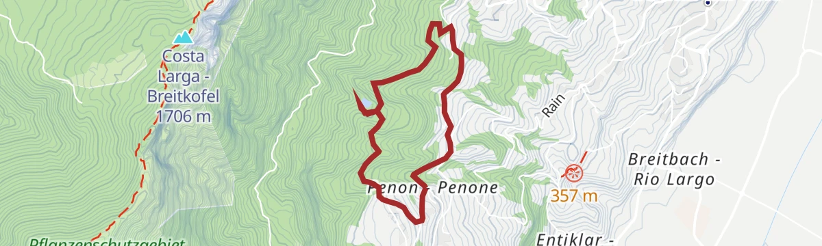
A loop above Penone in the Cortaccia vineyards, climbing through forest to the Hirschbett pond at 840 metres and returning by the Kauderle lane.
- 3.8 km
- Distance
- 201 m
- Ascent
- 1 h 27 min
- Duration
Open route Südtirols SüdenPenone – Fennhals - Penone
A round from the square at Penone on trail 7 up the forest road to Fennhals, back down the Römerweg past the Di Pauli chapel.
- 5.2 km
- Distance
- 446 m
- Ascent
- 2 h 50 min
- Duration
Open route Südtirols SüdenBassa Atesina/Unterland Tour
A run along the South Tyrolean wine road, taking in the arcades of Egna, Cortaccia and Termeno.
- 25.2 km
- Distance
- 204 m
- Ascent
- 2 h 26 min
- Duration
- 18
- Check-ins
- Castelfeder - Grill-Imbiss - ristoro 221 m
- Turismusverein Kurtatsch - Informazioni Turistiche Cortaccia 344 m
- Tramin 277 m
- Viktor's Imbiss 223 m
- Freisingerhof 329 m
Open route Südtirols SüdenWine Route Südtirols Süden
A circuit through the southernmost vineyards of South Tyrol, reaching Salurn at the province's edge and returning via Neumarkt and Auer.
- 42.4 km
- Distance
- 257 m
- Ascent
- 4 h
- Duration
- 12
- Check-ins
- Castelfeder - Grill-Imbiss - ristoro 221 m
- Turismusverein Kurtatsch - Informazioni Turistiche Cortaccia 344 m
- SV Margreid - GS Magrè 213 m
- Höfelen 273 m
- Ansitz Karneid 223 m
- Baita Garba Garbenhütte 224 m
Open route Südtirols SüdenCycling Delight in the South Tyrolean Unterland
An easy circuit of the Unterland on level lanes below Castelfeder, with almost no climbing.
- 36.3 km
- Distance
- 33 m
- Ascent
- 3 h 15 min
- Duration
- 8
- Check-ins
- Castelfeder - Grill-Imbiss - ristoro 221 m
- Viktor's Imbiss 223 m
- Höfelen 273 m
- Ansitz Karneid 223 m
- Baita Garba Garbenhütte 224 m
Open route Südtirols Süden
No routes of this kind in Cortaccia sulla strada del vino/Kurtatsch an der Weinstraße yet.
The region's own picks

Featured route
Apfelweg Tramin/Kurtatsch
A themed path through the orchards between Tramin and Kurtatsch, on how South Tyrolean apples are grown along the wine road.
Planning a trip to Cortaccia sulla strada del vino/Kurtatsch an der Weinstraße?
Everything else Trentino-Alto Adige/Südtirol has, in one place


Take Cortaccia sulla strada del vino/Kurtatsch an der Weinstraße with you into the mountains
Every route on this page with 3D terrain, GPX navigation and offline maps — including the valleys with no signal.
Data sources
- Official website: merano-suedtirol.it ↗
- Routes and highlights: Südtirols Süden, Kaltern an der Weinstraße, Suedtiroler Unterland, Tramin an der Weinstraße, Sterzing, Pfitsch und Freienfeld, VisitTrentino, APT Val di Non, APT Dolomiti di Brenta e Paganella
- Published as open data by the tourist boards named above.
- Region summary generated from the board's own material.
