
Curated by Sterzing, Pfitsch und Freienfeld
Cornedo all'Isarco/Karneid
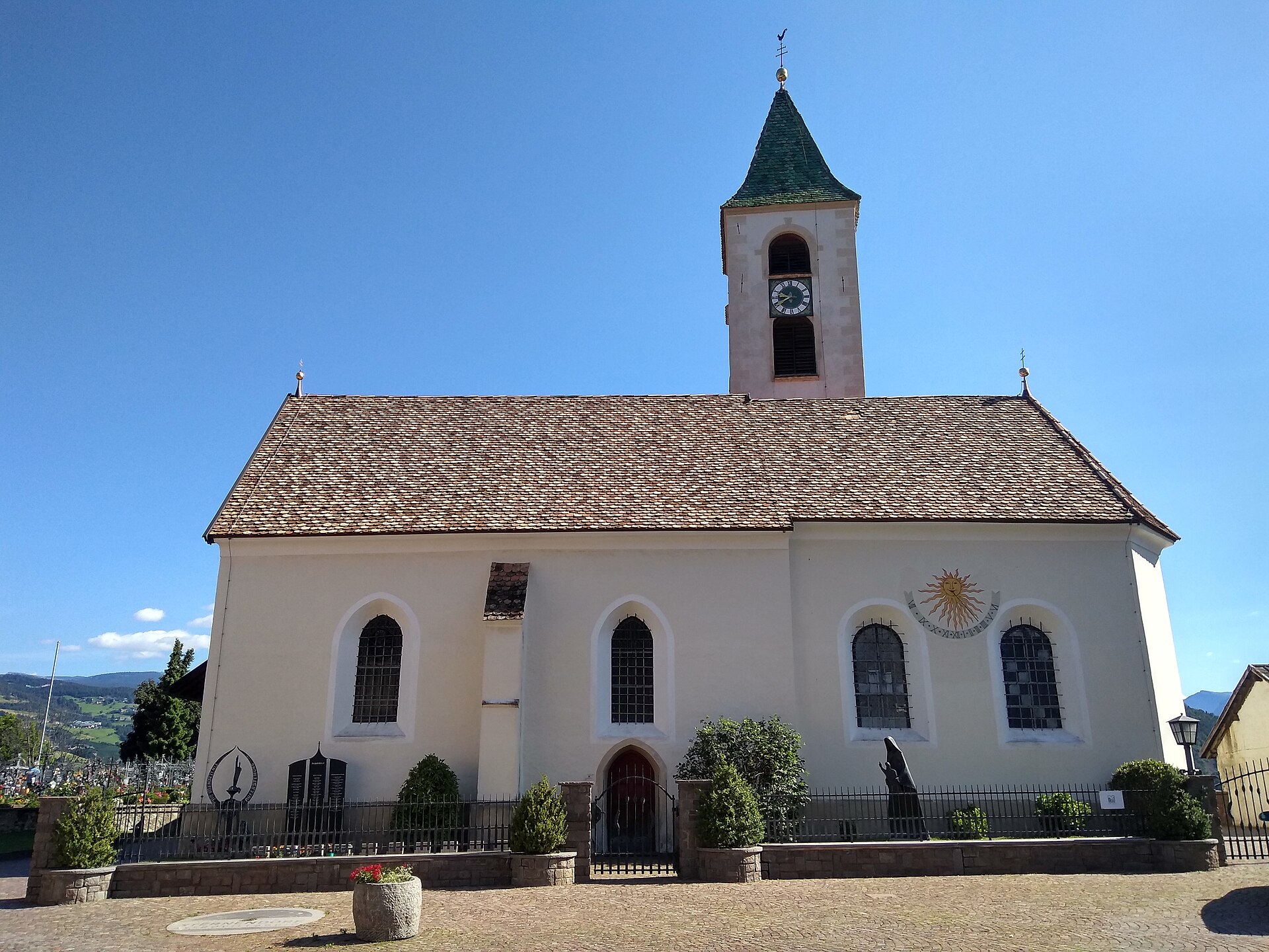
Comune at the mouth of the Val d'Ega, its villages perched on the rock above the Isarco below the Catinaccio.
Photo: Plentn · CC0 licence
- 1Highlights
- 21Routes
- Featured summit · Kasernock
Highlights
14 from neighbouring places
Mini - Sentiero delle Stelle a Collepietra
A short themed walk on the planets at Collepietra, the star village above the Val d'Ega, beside the local planetarium.
Malga Laab
8.7 km away, in Nova Ponente/Deutschnofen
A working dairy on the Laab pastures above Nova Ponente, in the woods and meadows of the Val d'Ega.
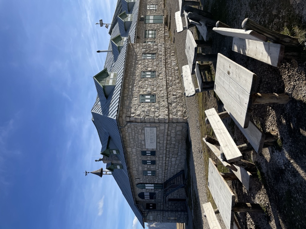
Rifugio Bolzano
9.5 km away, in Fiè allo Sciliar/Völs am Schlern
A refuge on the summit plateau of the Sciliar above Fiè, one of the oldest in South Tyrol, reached by the paths from the Alpe di Siusi.
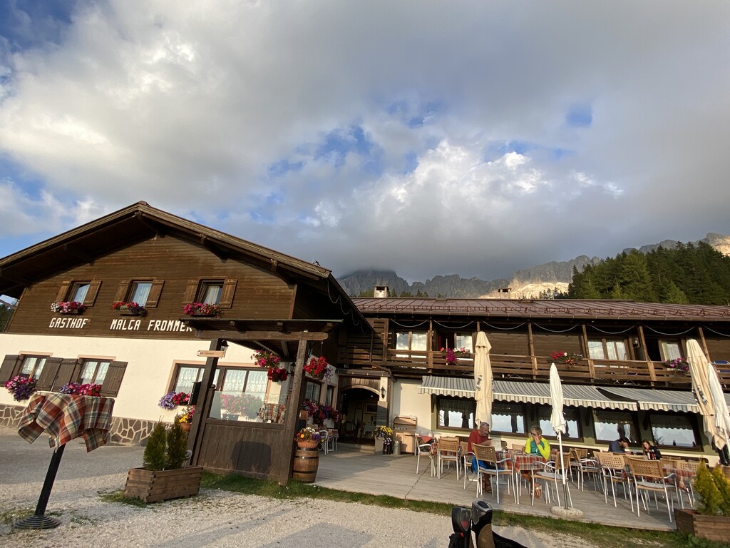
Albergo Malga Frommer
9.7 km away, in Nova Levante/Welschnofen
A dairy hut with rooms on the Frommer pastures above Nova Levante, in the Val d'Ega between the Catinaccio and the Latemar.
Malga Costa
10.4 km away, in Nova Ponente/Deutschnofen
A dairy hut on the Costa pastures above Nova Ponente, in the Val d'Ega below the Latemar.
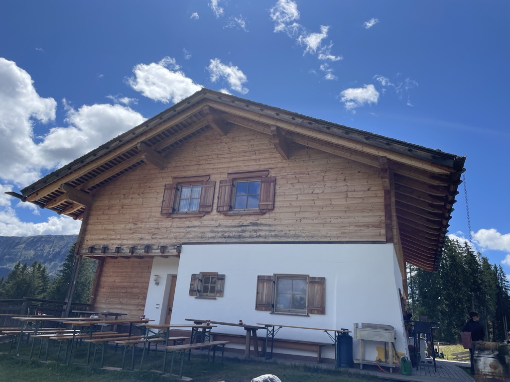
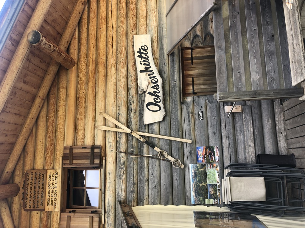
Sterzing, Pfitsch und FreienfeldMalga Ochsenhütte
10.6 km away, in Nova Levante/Welschnofen
A pasture hut in the woods above Nova Levante, in the Val d'Ega.
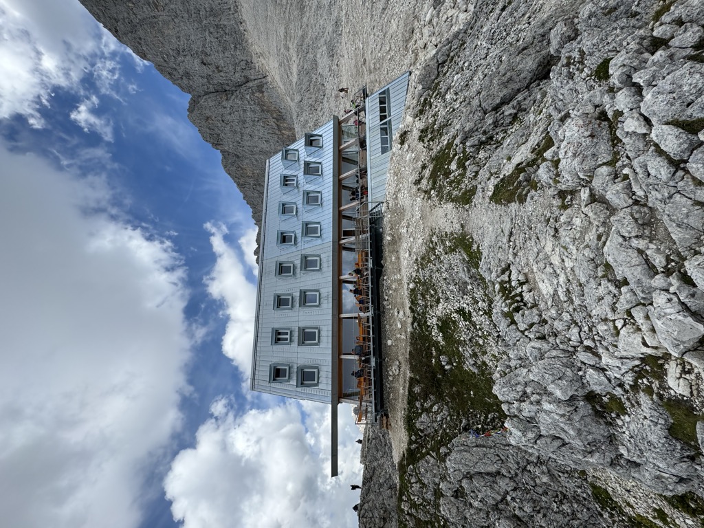
Sterzing, Pfitsch und Freienfeldrifugio Passo Santner
11.7 km away, in Tires/Tiers
A hut at 2,734 m at the Passo Santner in the Catinaccio, at the top of the via ferrata over the pass above Tires.
Rifugio Oberholz
11.8 km away, in Nova Ponente/Deutschnofen
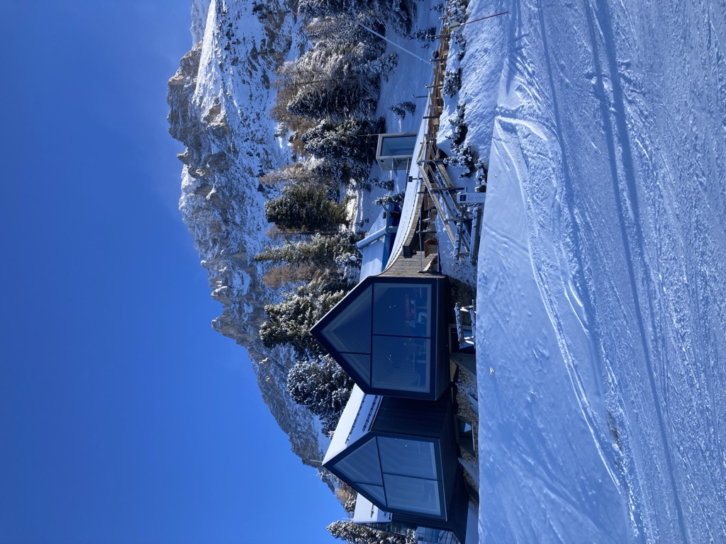
A timber-and-glass mountain hut above Obereggen, at the top of the chairlift below the Latemar, in the comune of Nova Ponente.
Catinaccio
11.9 km away, in Tires/Tiers
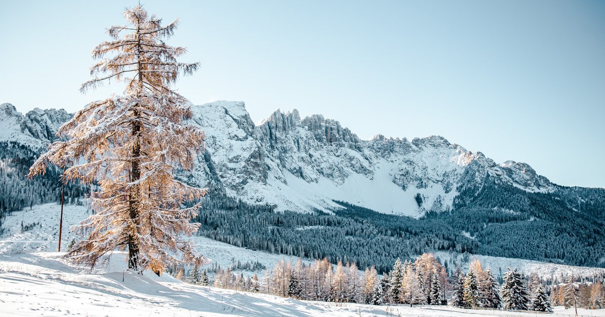
The dolomite massif of the Catinaccio, or Rosengarten, seen from Tires in the Val d'Ega; its walls redden in the evening light.
Rifugio Re Alberto 1°
12 km away, in Tires/Tiers
A hut at 2,621 m in the Catinaccio group, known in German as the Gartlhütte and reached by the Passo Santner via ferrata from Pera di Fassa.
Malga Ganischger – The Mountain Party
14 km away, in Nova Ponente/Deutschnofen
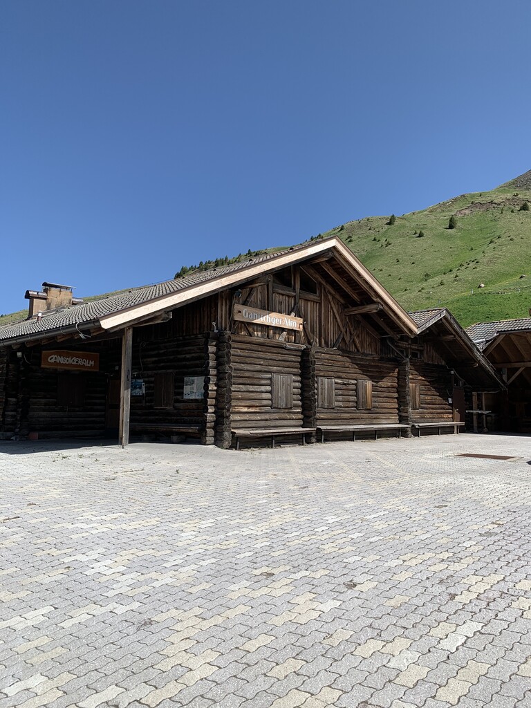
A dairy hut on the pastures above Nova Ponente, near Obereggen at the foot of the Latemar.
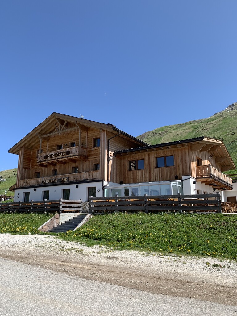
Malga Zischgalm
14.2 km away, in Nova Ponente/Deutschnofen
A pasture hut above Nova Ponente, reached on foot from the Obereggen side of the Val d'Ega.
Malghetta Sciliar
11 km away, in Castelrotto/Kastelruth
A small hut at 1,693 m on the shelf below the Sciliar, on the Castelrotto side of the massif and beside the geological trail.
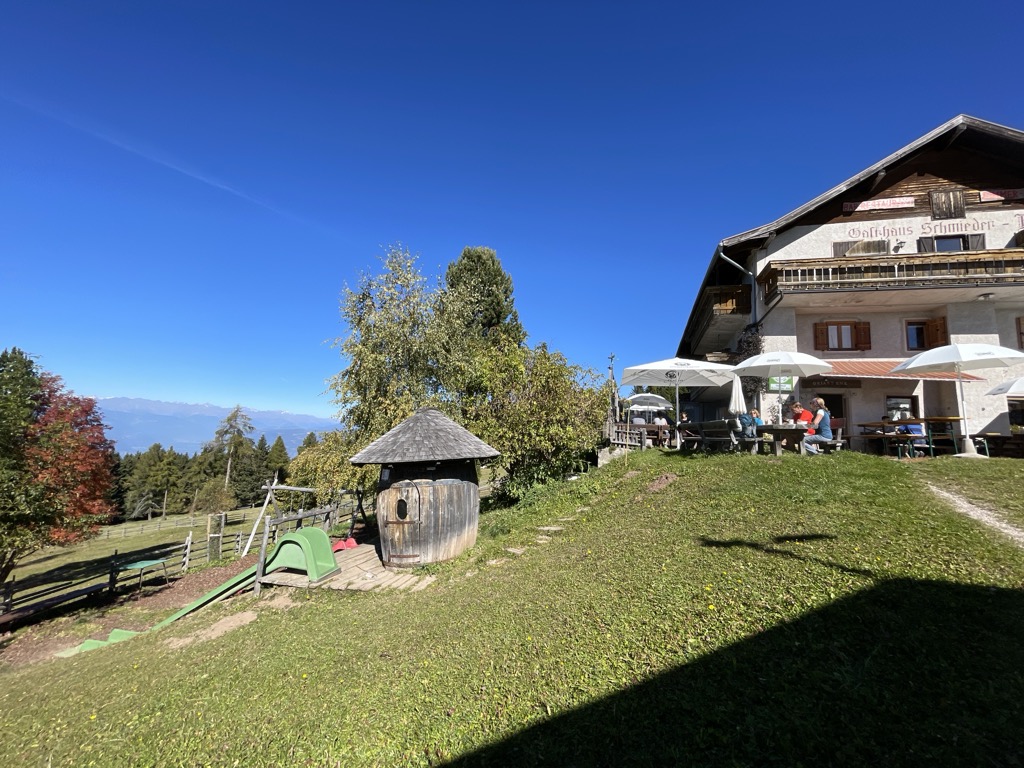
Albergo Schmiederalm
11.3 km away, in Aldino/Aldein
A pasture inn above Aldino, on the high Regglberg plateau between the Bletterbach gorge and the road to the Passo Oclini.
Malga Lahner
11.4 km away, in Aldino/Aldein
A dairy hut on the Lahner pastures above Aldino, reached by the forest road that climbs from the village toward the Corno Bianco.
 Historic site
 Viewpoint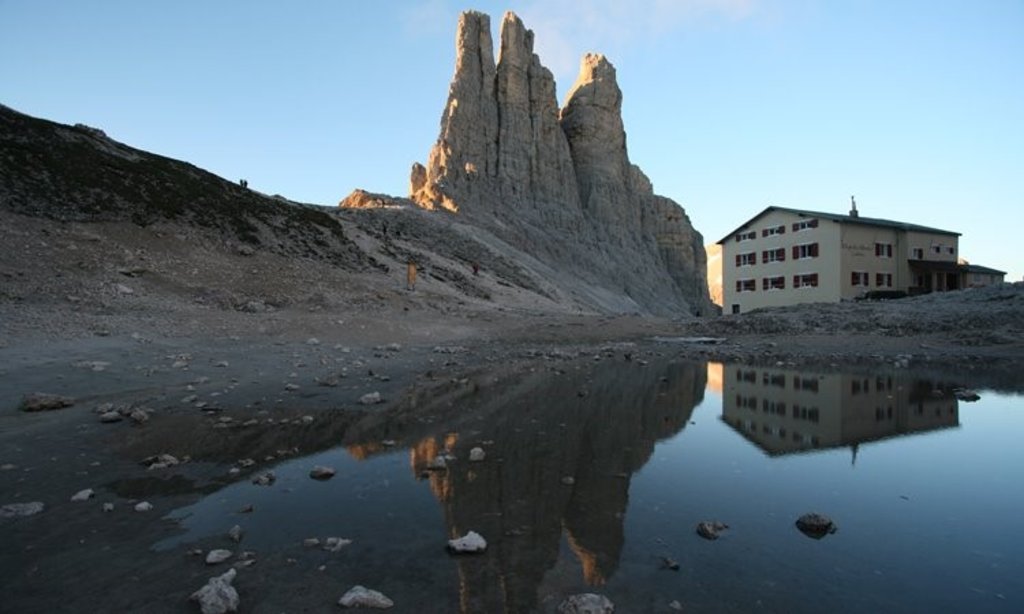
Nothing of this kind in Cornedo all'Isarco/Karneid.
Routes
All' abitazione rupestre "Mortner Gufl" presso Collepietra
A walk on the old Collepietra path to the Mortner Gufl, a rock shelter under a stone slab where a hermit is said to have lived during the First World War.
- 5.7 km
- Distance
- 187 m
- Ascent
- 1 h 48 min
- Duration
- 1
- Check-ins
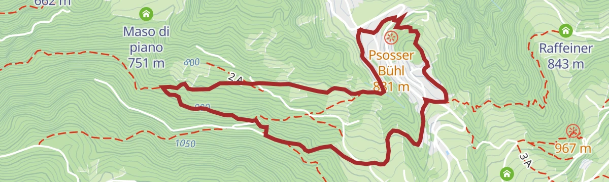
Open route Sterzing, Pfitsch und FreienfeldSentiero circolare del Montalto di Nova (Taltbühl) al Totmoos es alla fossa dei lupi
A loop from San Valentino di Sopra through quiet woods to the Totmoos biotope with its water lilies and to one of the last wolf pits in the region.
- 10.3 km
- Distance
- 360 m
- Ascent
- 3 h 18 min
- Duration
- 8
- Check-ins
Open route Sterzing, Pfitsch und FreienfeldTrekking di cinque giorni sul sentiero delle Perle - 1. tappa
The first stage of the five-day Pearls trail, from Cardano near Bolzano past the vineyards below Castel Cornedo and up through mixed wood to Collepietra.
- 16.6 km
- Distance
- 1 244 m
- Ascent
- 6 h 48 min
- Duration
- 2
- Check-ins
 Maso di piano 751 m
- Glirghof 938 m
- Hiasl 722 m
- Zacherle Hof 772 m
- Unterweger Mühle 753 m
- Lampldille 770 m
- +2
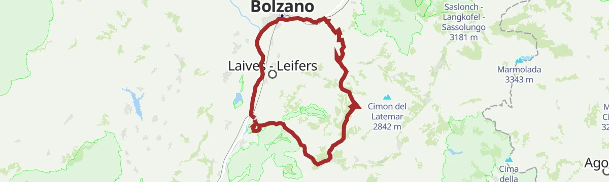
Open route Sterzing, Pfitsch und FreienfeldRoad Bike Adventure to Lavazé Joch: Steep Passes and Breathtaking Views
A hard road climb from the Adige floor at Auer to the Passo di Lavazè, taking the San Lugano saddle on the way.
- 94.1 km
- Distance
- 2 374 m
- Ascent
- 10 h 35 min
- Duration
- 240
- Check-ins
 Passo di Lavazè 1 807 m
- Mila Bistro 282 m
- Kampill Center 270 m
- Hiasele 312 m
- Agrocenter Bozen OHG 296 m
- Passo di San Lugano - San-Lugano-Sattel 1 097 m
- +25
Open route Südtirols SüdenGiro dell' Astrovillaggio a Collepietra
A family circuit at Collepietra past the open-air exhibition on the Pstosser Buehl, the mountain cinema by the Steineggerhof, the Weisses Bild chapel and the earth pyramids.
- 6.4 km
- Distance
- 210 m
- Ascent
- 2 h 1 min
- Duration
- 1
- Check-ins
Open route Sterzing, Pfitsch und FreienfeldSentiero dei Pianeti a San Valentino in Campo
A themed walk in the Val d'Ega laying out the solar system to scale, from the sun beside the observatory to Pluto, about a million kilometres to the step.
- 9.1 km
- Distance
- 207 m
- Ascent
- 2 h 38 min
- Duration
- 7
- Check-ins
Open route Sterzing, Pfitsch und FreienfeldEisacktal Valley Bike Route: Brenner - Bozen
A long, almost entirely downhill valley ride from the Brenner border to Bozen, following the Eisack river the whole way.
- 96.5 km
- Distance
- 313 m
- Ascent
- 9 h 14 min
- Duration
- 185
- Check-ins
 Paterbichl 559 m
- Mila Bistro 282 m
- Klammwirt 559 m
- Hiasele 312 m
- Agrocenter Bozen OHG 296 m
- Senfter 532 m
- +22
Open route Gitschberg - JochtalSentiero delle piramidi a Collepietra
A loop through woods, meadow and a gorge to the earth pyramids of Collepietra, columns left standing as rain cut into clay-rich moraine.
- 5.7 km
- Distance
- 292 m
- Ascent
- 2 h 7 min
- Duration
- 1
- Check-ins
Open route Sterzing, Pfitsch und FreienfeldCinema di Montagna in Val d'Ega - Furner Oach
A circuit from Collepietra by the Spitzkoefele viewpoint to the Furner Oach mountain cinema, wooden seats set facing the Catinaccio and the Sciliar.
- 10.7 km
- Distance
- 459 m
- Ascent
- 3 h 38 min
- Duration
- 6
- Check-ins
Open route Sterzing, Pfitsch und FreienfeldCastelfeder – Bolzano – Valle Isarco
The Adige cycle path from the Bolzano basin up the Isarco valley by Chiusa toward Bressanone.
- 76.1 km
- Distance
- 617 m
- Ascent
- 7 h 12 min
- Duration
- 183
- Check-ins
- Paterbichl 559 m
- Mila Bistro 282 m
- Kampill Center 270 m
- Klammwirt 559 m
- Hiasele 312 m
- Agrocenter Bozen OHG 296 m
- +17
Open route Südtirols SüdenCinema di Montagna in Val d'Ega - Steineggerhof
A short family loop around Collepietra by the Spitzkoefele viewpoint to the Steineggerhof mountain cinema, with its wooden chairs and framed view.
- 4.8 km
- Distance
- 197 m
- Ascent
- 1 h 36 min
- Duration
Open route Sterzing, Pfitsch und FreienfeldAlta Via di Collepietra
A circuit above Collepietra waymarked with a yellow shoe, through thin woodland to viewpoints over the Sciliar, the Catinaccio and the Latemar.
- 13.2 km
- Distance
- 287 m
- Ascent
- 3 h 48 min
- Duration
- 4
- Check-ins
Open route Sterzing, Pfitsch und FreienfeldIn bici tra dolci vigneti e le maestose Dolomiti – da Egna a Castelrotto
A long climb-heavy ride from the vineyard country north of Trento up to the village of Castelrotto, with the Dolomites in view on the upper half.
- 55.5 km
- Distance
- 1 169 m
- Ascent
- 5 h 44 min
- Duration
- 146
- Check-ins
- Mila Bistro 282 m
- Kampill Center 270 m
- Hiasele 312 m
- Agrocenter Bozen OHG 296 m
- Tourist Information 1 069 m
- Hochklaus 380 m
- +13
Open route Seis am SchlernEscursione per famiglie al Razzo sull'Albero a Collepietra
A short barrier-free walk from the Collepietra village square on path 2 to the rocket-shaped wooden tree house in the Oel forest playground.
- 2.7 km
- Distance
- 10 m
- Ascent
- 40 min
- Duration
Open route Sterzing, Pfitsch und FreienfeldEscursione circolare sul sentiero Rittersteig da Collepietra al Wiedenhof
A loop from Collepietra on the Rittersteig through mixed woods, with a spur to the Mortner Gufl dwelling cut into the rock, then up path 11 to the Wiedenhof.
- 10.4 km
- Distance
- 516 m
- Ascent
- 3 h 47 min
- Duration
- 2
- Check-ins
Open route Sterzing, Pfitsch und FreienfeldBy bike from gentle vineyards to the majestic Dolomites – from Egna to Castelrotto
A road tour that leaves the Adige vineyards on the South Tyrolean Wine Road and then climbs steadily to Castelrotto beneath the Dolomites.
- 55.3 km
- Distance
- 1 168 m
- Ascent
- 5 h 43 min
- Duration
- 130
- Check-ins
- Mila Bistro 282 m
- Hiasele 312 m
- Agrocenter Bozen OHG 296 m
- Tourist Information 1 069 m
- Hochklaus 380 m
- Puntnofen 311 m
- +12
Open route Südtirols SüdenEscursione per famiglie all'osservatorio astronomico a San Valentino in Campo
A short paved family walk from the Schenken car park to the Max Valier observatory and the Peter Anich solar telescope, partly on the planet trail.
- 2.4 km
- Distance
- 20 m
- Ascent
- 36 min
- Duration
Open route Sterzing, Pfitsch und FreienfeldSentiero delle Stelle da San Valentino a Collepietra
A themed route linking the two star villages of San Valentino in Campo and Collepietra, with six stations including a date sundial and a turning star chart.
- 12.2 km
- Distance
- 212 m
- Ascent
- 3 h 41 min
- Duration
- 2
- Check-ins
Open route Sterzing, Pfitsch und FreienfeldSentiero d‘esperienza Bosco delle Api a Collepietra
A short loop at Collepietra on bees and the forest, with a beekeeper's house where a demonstration comb shows the working of a hive.
- 1.2 km
- Distance
- 55 m
- Ascent
- 25 min
- Duration
Open route Sterzing, Pfitsch und FreienfeldEscursione circolare da Collepietra al ristoro Wiedenhof
A loop from Collepietra through woods and meadows by the Spitzkoefele viewpoint and the restored Oelgartner Bild shrine to the Wiedenhof farm inn.
- 9.6 km
- Distance
- 460 m
- Ascent
- 3 h 25 min
- Duration
- 1
- Check-ins
Open route Sterzing, Pfitsch und FreienfeldSul sentiero Rittersteig da Collepietra a Cardano
A walk down the old Rittersteig from Collepietra through conifer and broadleaf woods to the first vineyards of the lower Val d'Ega, with Cornedo castle in view.
- 7.8 km
- Distance
- 193 m
- Ascent
- 2 h 52 min
- Duration
- 1
- Check-ins
Open route Sterzing, Pfitsch und Freienfeld








No routes of this kind in Cornedo all'Isarco/Karneid yet.
The region's own picks

Featured route
All' abitazione rupestre "Mortner Gufl" presso Collepietra
A walk on the old Collepietra path to the Mortner Gufl, a rock shelter under a stone slab where a hermit is said to have lived during the First World War.
Planning a trip to Cornedo all'Isarco/Karneid?
Everything else Trentino-Alto Adige/Südtirol has, in one place


Take Cornedo all'Isarco/Karneid with you into the mountains
Every route on this page with 3D terrain, GPX navigation and offline maps — including the valleys with no signal.
Data sources
- Official website: merano-suedtirol.it ↗
- Routes and highlights: Sterzing, Pfitsch und Freienfeld, Südtirols Süden, YesAlps, Gitschberg - Jochtal, Seis am Schlern
- Published as open data by the tourist boards named above.
- Region summary generated from the board's own material.
