









Curated by in Lombardia
Colico
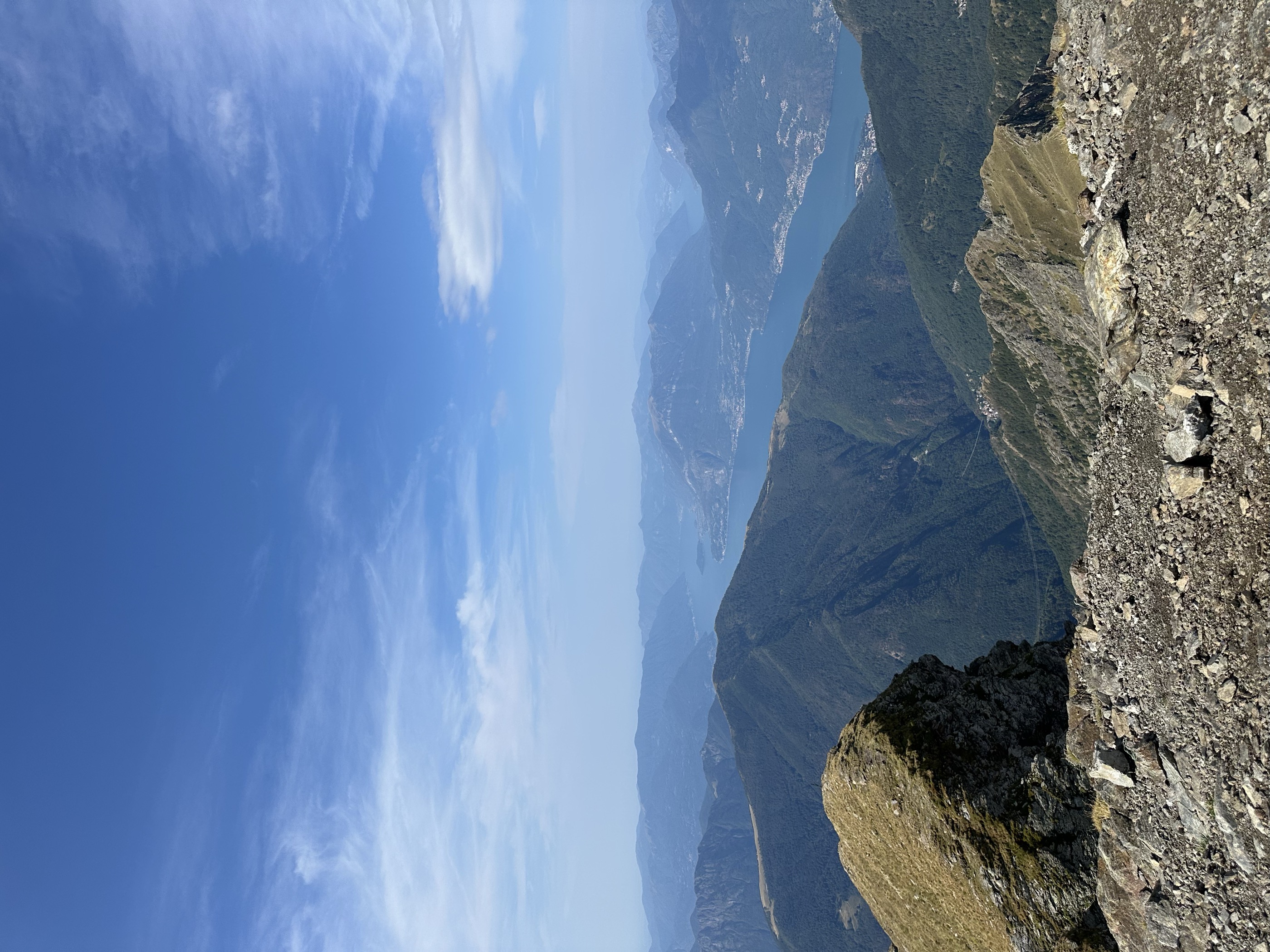
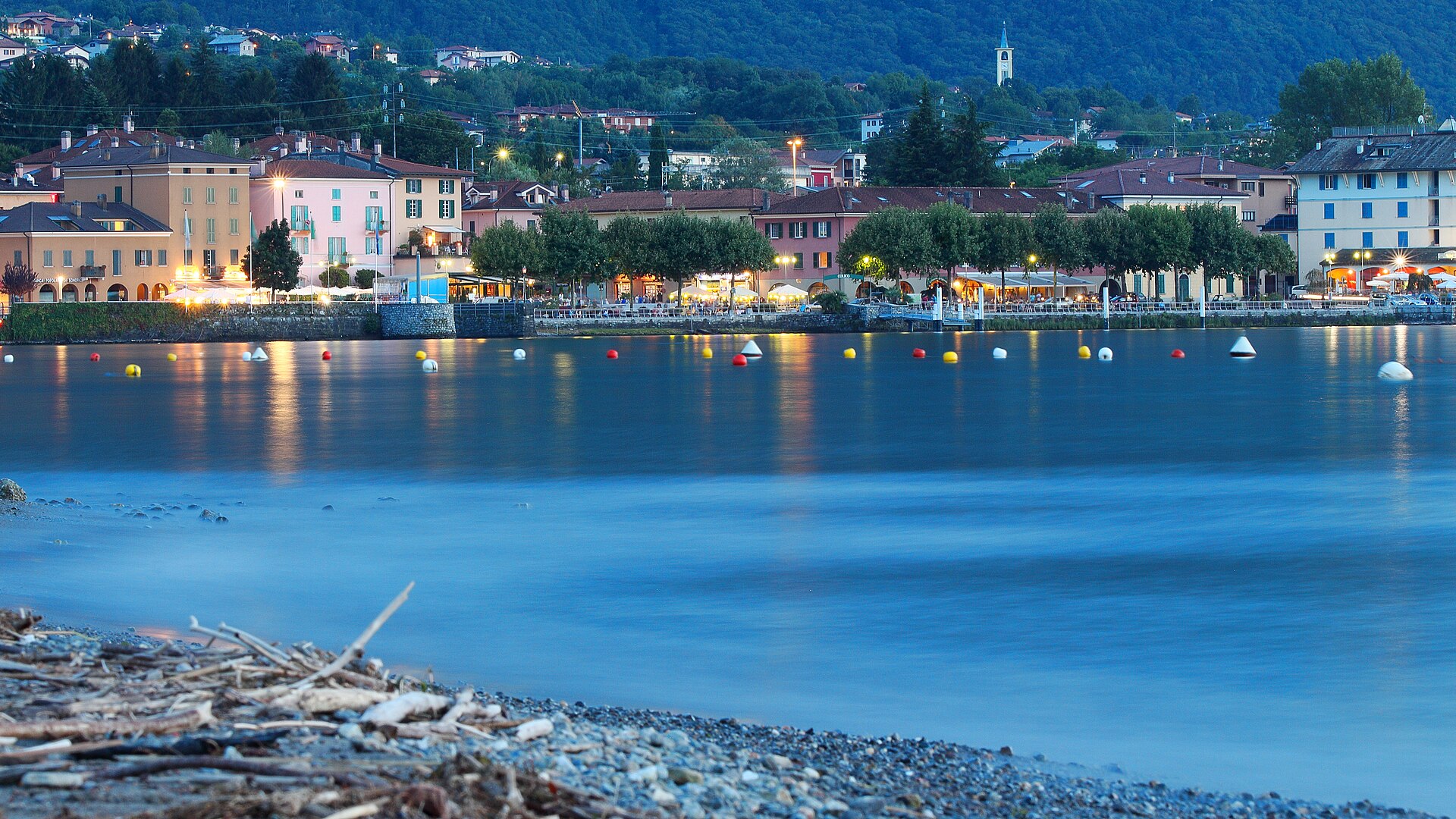
Town at the northern end of Lake Como where the Adda flows in, with the Montecchio tower and the Pian di Spagna marshes.
- 6Routes
- Featured summit · Monte Legnone
Routes
14 from neighbouring places
Doppio anello a Fontanedo
A double loop above Villatico in Colico, at the north end of Lake Como, past the Fontanedo tower and a picnic area.
- 5.4 km
- Distance
- 338 m
- Ascent
- 2 h 20 min
- Duration
Il Sentiero Valtellina
The Colico end of the Sentiero Valtellina, where the route along the Adda leaves the head of Lake Como for the valley.
- 113.6 km
- Distance
- 1 108 m
- Ascent
- 28 h 24 min
- Duration
- 12
- Check-ins
Monte Legnone - Via Normale
A climb from the Sella del Legnone past Rifugio Roccoli Lorla and the Bivacco Silvestri to the summit above Colico, with the Alpine chain in view.
- 10.5 km
- Distance
- 1 235 m
- Ascent
- 7 h 20 min
- Duration
- 208
- Check-ins
Sentiero Valtellina
A valley-floor cycleway following the Adda upstream from the plain at Colico for well over 100 km into the upper Valtellina.
- 113.4 km
- Distance
- 1 068 m
- Ascent
- 10 h 43 min
- Duration
- 6
- Check-ins
 Agriturismo Rini 1 180 m
- Pro Loco 1 140 m
- A2A 504 m
- Visit Valtellina 434 m
- Il Bisteca - Agriturismo 242 m
Open route Valtellina OutdoorSentiero del Viandante stage Piantedo - Morbegno
A long lower Valtellina stage of the Wayfarer's path, running from Colico by Piantedo and the Val Pozzo sanctuary towards Morbegno.
- 21.9 km
- Distance
- 1 047 m
- Ascent
- 7 h 48 min
- Duration
- 1
- Check-ins
Open route Valtellina OutdoorERSAF e-bike Percorso Culturale-Naturalistico
A long, nearly level e-bike route through the lower Valtellina, out to the Isola della Pescaia and the Sasso di Dascio viewpoint near Dascio.
- 55.2 km
- Distance
- 199 m
- Ascent
- 5 h 5 min
- Duration
- 1
- Check-ins
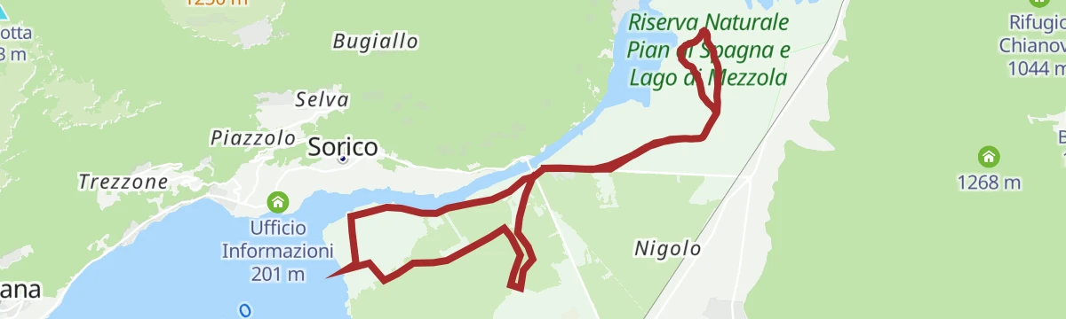
Open route Valtellina OutdoorCycling in a Nature Reserve between land and water
6.4 km away, in Gera Lario
A flat circuit of the Pian di Spagna reserve, between Lake Como, the Valtellina and the Valchiavenna.
- 12.9 km
- Distance
- 0 m
- Ascent
- 1 h 8 min
- Duration
Open route Valtellina OutdoorSanta Croce di Naro
3.9 km away, in Domaso
A long climb to Naro, a hamlet under the vertical rock of the Sasso Pelo, on the ridge between the Liro and the Livo above Domaso.
- 14.2 km
- Distance
- 508 m
- Ascent
- 4 h 36 min
- Duration
- 3
- Check-ins
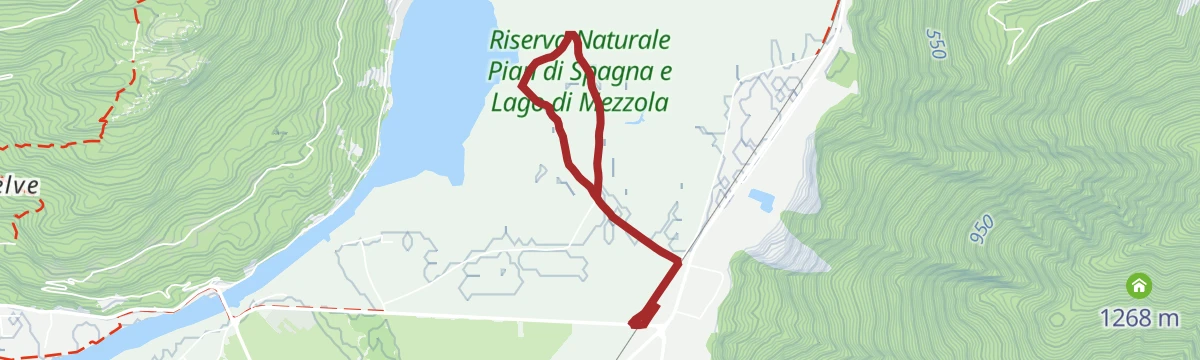
Pian di Spagna, a walk in a natural laboratory
7.8 km away, in Dubino
A flat walk through the reserve at Dubino on dirt tracks between reed beds and fields, out to the shores of Lago di Mezzola.
- 4.2 km
- Distance
- 0 m
- Ascent
- 59 min
- Duration
Open route Valtellina OutdoorSulle tracce della storia
1.5 km away, in Dorio
A demanding climb above Dorio past Rifugio Roccoli Lorla to the Sella del Legnone, following paths lined with First World War defences.
- 14.3 km
- Distance
- 1 046 m
- Ascent
- 6 h 52 min
- Duration
- 83
- Check-ins
La ciclabile Valchiavenna
5.1 km away, in Gera Lario
The Valchiavenna cycle path up the valley floor, past the Cavrii waterfall and the Sasso del Drago crag.
- 39.7 km
- Distance
- 465 m
- Ascent
- 3 h 48 min
- Duration
- 12
- Check-ins
Sui Monti di Dosso del Liro
6.6 km away, in Gravedona ed Uniti
A route into the old chestnut woods of the Liro valley, up to the summer pastures of Ciosino and Prennaro above the upper Lake Como.
- 12.6 km
- Distance
- 574 m
- Ascent
- 4 h 21 min
- Duration
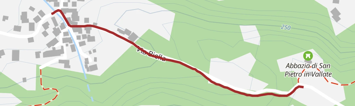
A leap into the year one thousand at the remains of the Abbey of St. Peter in Vallate
11.1 km away, in Cosio Valtellino
A quarter-hour walk up from Piagno on a cobbled mule track to the ruins of a Cluniac priory founded in 1078, standing in a chestnut clearing.
- 511 m
- Distance
- 60 m
- Ascent
- 15 min
- Duration
Open route Valtellina OutdoorBerlinghera - Alpe Gigiai
5 km away, in Gera Lario
A long day above the head of Lake Como, climbing from Sorico to the alp below Monte Berlinghera and back past the Baita dal Vikingo.
- 25.7 km
- Distance
- 1 347 m
- Ascent
- 9 h 41 min
- Duration
- 9
- Check-ins
- Baita dal Vikingo 1 091 m
 Bacino idrico coperto 448 m
Pedalate sul lago
5.8 km away, in Valvarrone
An outing from the hamlet of Bondal above the Lecco shore of Lago di Como, climbing to Monte Legnoncino and the Sella del Legnone.
- 28.6 km
- Distance
- 1 298 m
- Ascent
- 3 h 46 min
- Duration
- 88
- Check-ins
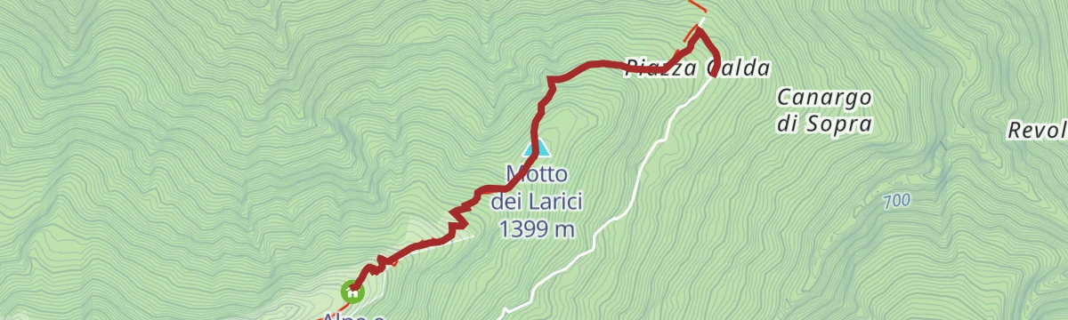
Alpe Legnone, what a great panorama!
7.5 km away, in Delebio
A steep climb from Piazza Calda through forest past the Zoca de la Naaf hollow to the wide meadows of the Alpe Legnone.
- 2.3 km
- Distance
- 590 m
- Ascent
- 2 h 9 min
- Duration
- 5
- Check-ins
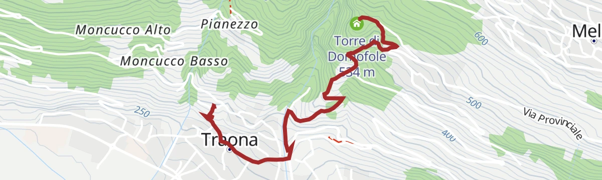
Open route Valtellina OutdoorAt Domofole Castle, a tower overlooking the lake
13.3 km away, in Traona
A short walk from the Gothic church of Sant'Alessandro down through Traona and over the Vallone stream, then up to the tower on the hillside above.
- 2.1 km
- Distance
- 277 m
- Ascent
- 1 h 11 min
- Duration
- 2
- Check-ins
Open route Valtellina OutdoorSan Bernardo - Musso
6.4 km away, in Musso
A long climb from the Musso lakefront on Lake Como, taking the castle road up to San Bernardo.
- 20.1 km
- Distance
- 900 m
- Ascent
- 6 h 56 min
- Duration
- 11
- Check-ins
In bici sulle sponde del Lago di Como
13.3 km away, in Perledo
A ride from the Varenna-Esino station along the shore to the Bellagio peninsula, passing villas and lakeside villages on the way.
- 33.3 km
- Distance
- 543 m
- Ascent
- 3 h 28 min
- Duration
- 22
- Check-ins
Sentiero Italia D16N - Sorico Novate Mezzola Stage
5.5 km away, in Sorico
A flat stage of the Sentiero Italia from Sorico and its two waterfalls along the eastern shore of Lake Mezzola by Verceia to Novate Mezzola.
- 12.5 km
- Distance
- 46 m
- Ascent
- 3 h 1 min
- Duration
- 9
- Check-ins
Open route Valtellina Outdoor
No routes of this kind in Colico yet.
The region's own picks
Featured route
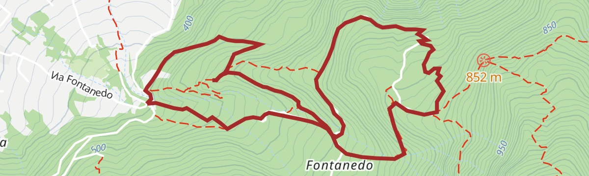
Doppio anello a Fontanedo
A double loop above Villatico in Colico, at the north end of Lake Como, past the Fontanedo tower and a picnic area.
Planning a trip to Colico?
Everything else Lombardy has, in one place


Take Colico with you into the mountains
Every route on this page with 3D terrain, GPX navigation and offline maps — including the valleys with no signal.
Data sources
- Official website: lakecomo.is ↗
- Routes and highlights: in Lombardia, Valtellina Outdoor, Sondrio e Valmalenco
- Published as open data by the tourist boards named above.
- Region summary generated from the board's own material.
