
Curated by APT Valsugana e Lagorai
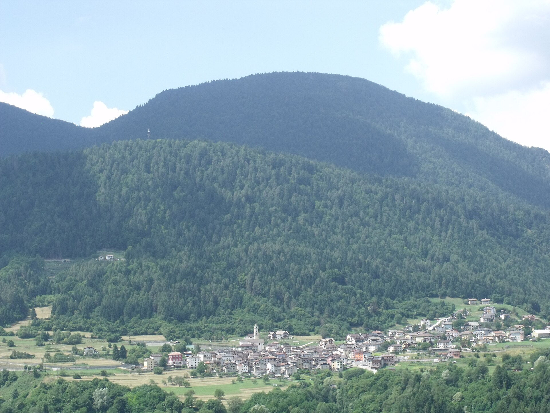
Cinte Tesino
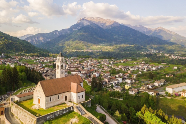
Tesino plateau village above the Grigno gorge, with walking on the Lagorai side and the Tesino lakes nearby.
Photo: LigaDue · CC BY 3.0 licence
- 10Highlights
- 26Routes
- Featured summit · Grünbergspitze
Highlights
All 10 from neighbouring places
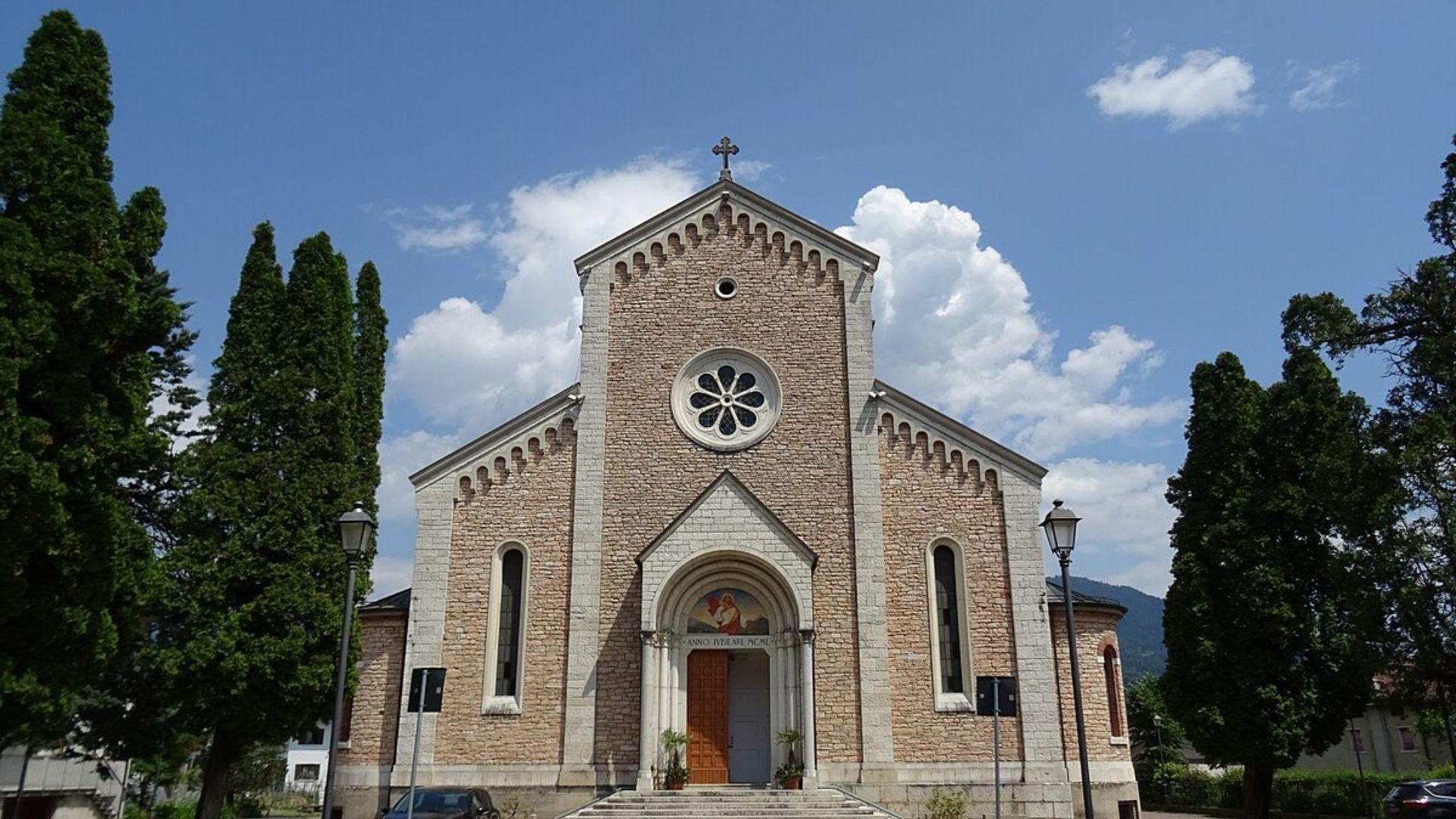
Chiesa del Sacro Cuore di Gesù
6.8 km away, in Lamon
A church at Lamon, on the plateau between the Cismon and the Senaiga in the western Feltrino.
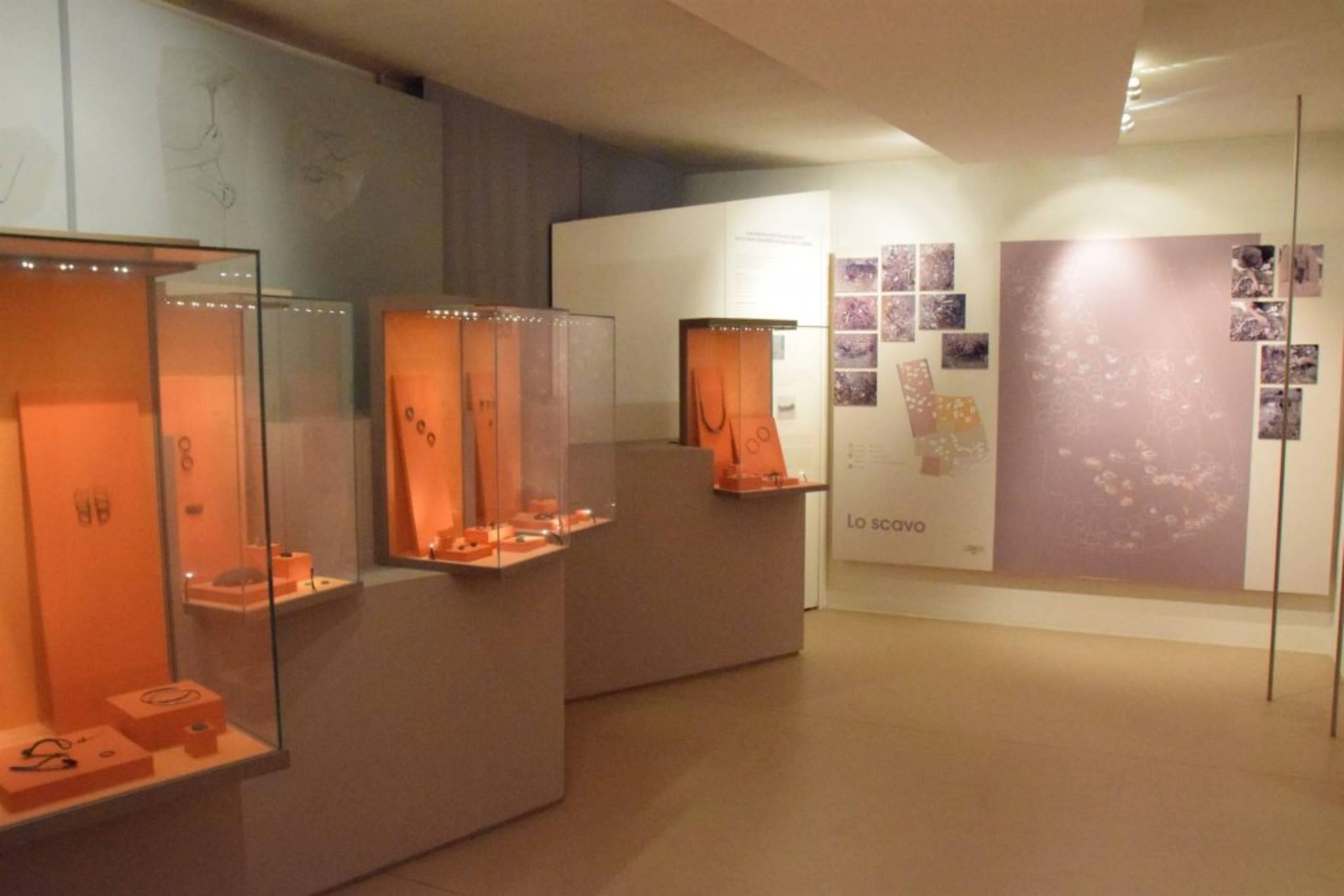
Museo Civico Archeologico
8 km away, in Lamon
The civic archaeological museum of Lamon, holding finds from the plateau between the Cismon and the Senaiga.
Chiesa di San Daniele
8.2 km away, in Lamon
A church in the Lamon area, on the high ground west of Feltre near the Trentino border.
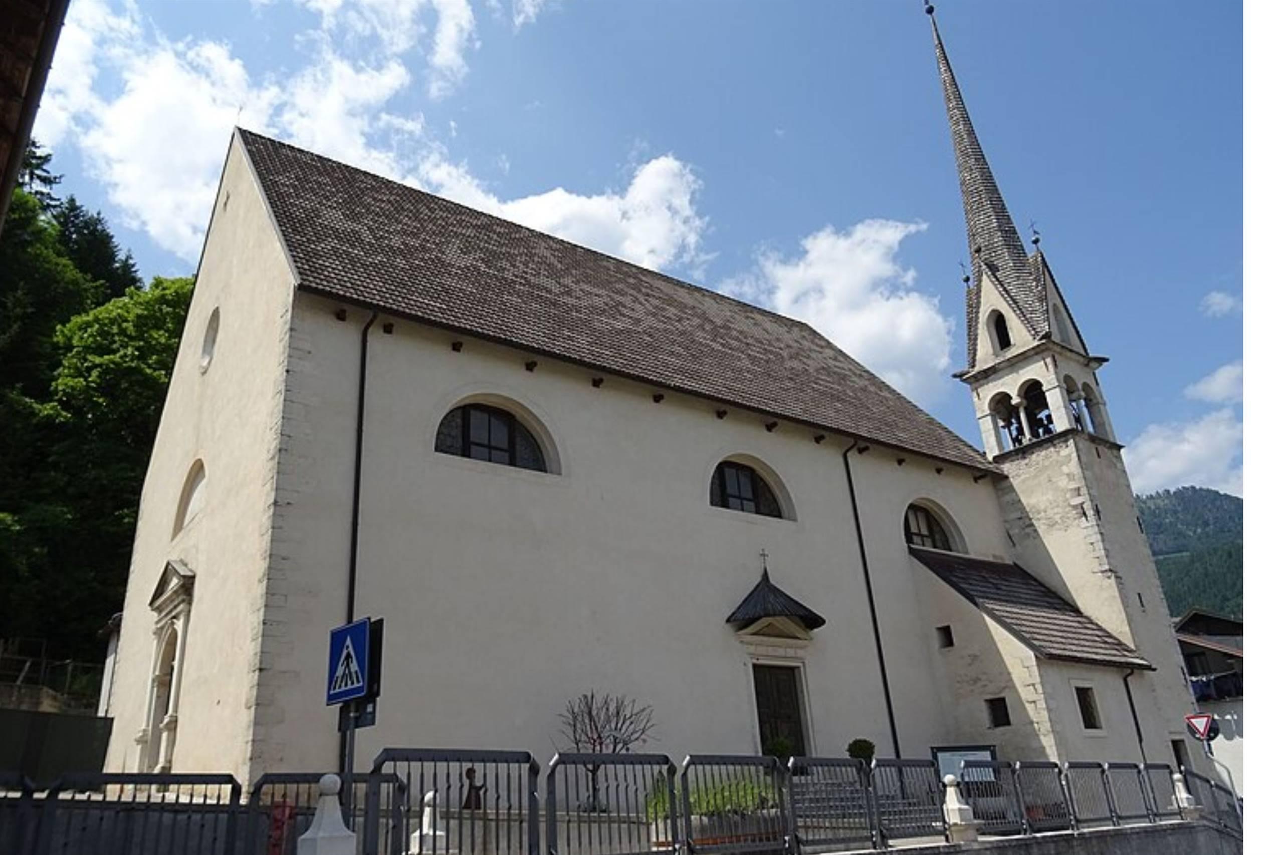
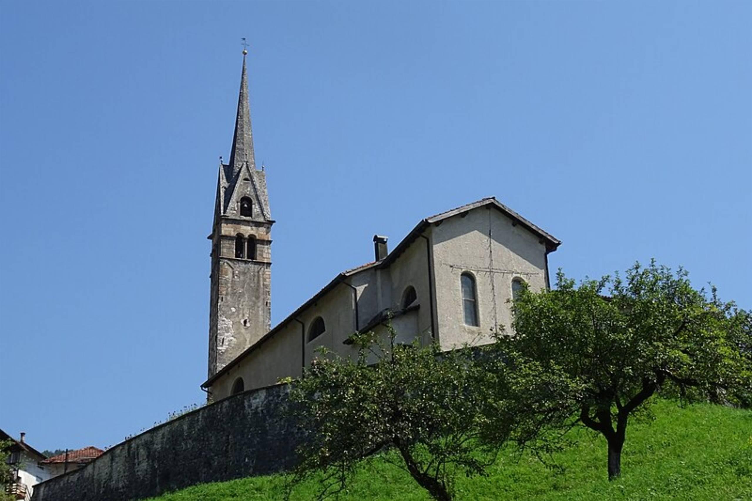
Chiesa di San Pietro Apostolo
8.3 km away, in Lamon
The parish church of Lamon, standing on the plateau above the Senaiga valley.
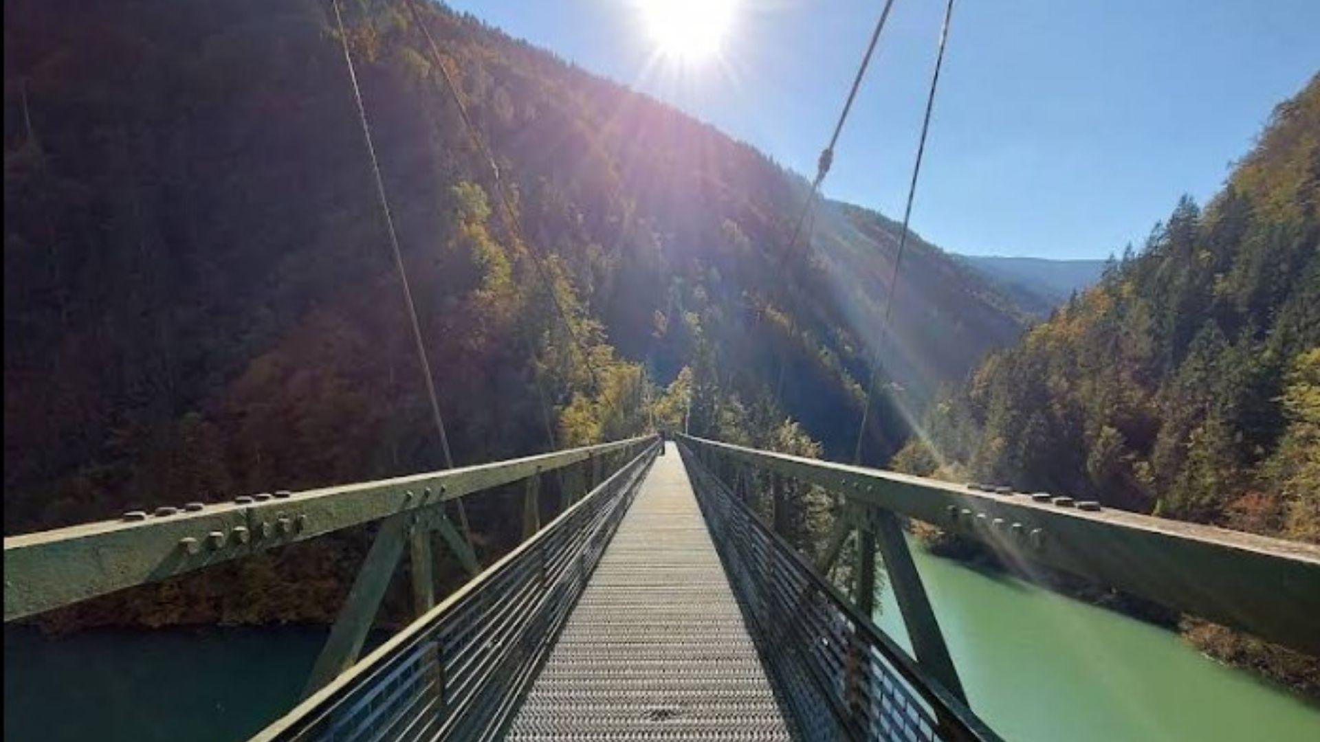
Passerella sul Lago Senaiga
9.3 km away, in Lamon
A footbridge crossing the reservoir of Lago Senaiga, in the wooded valley below the plateau of Lamon.
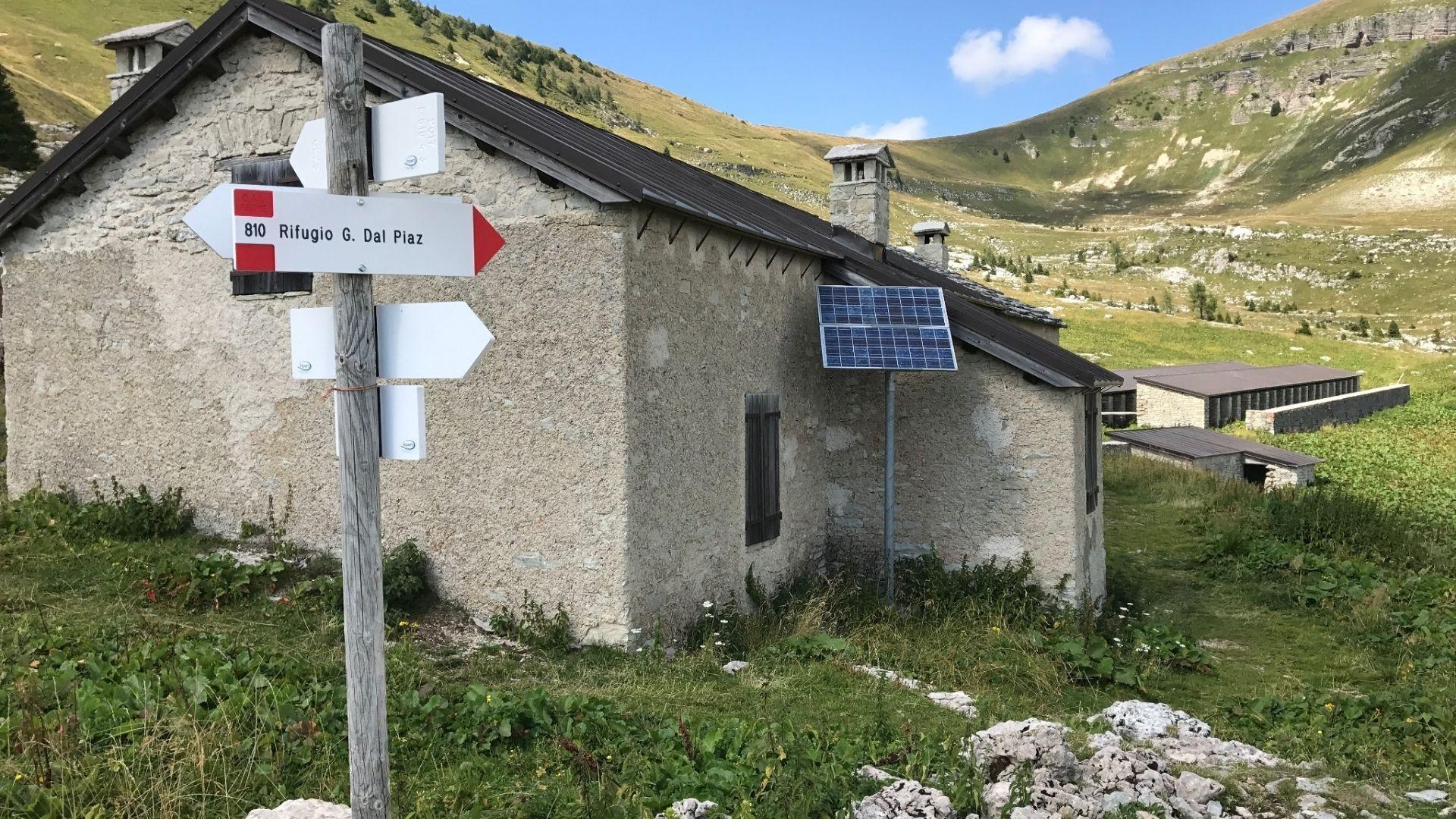
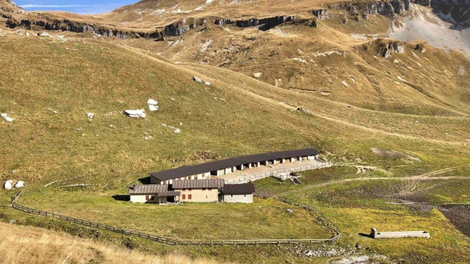
Malga Monsampian
7.9 km away, in Sovramonte
An alpine pasture hut above Sovramonte, on the grassland below the Vette Feltrine in the Dolomiti Bellunesi national park.
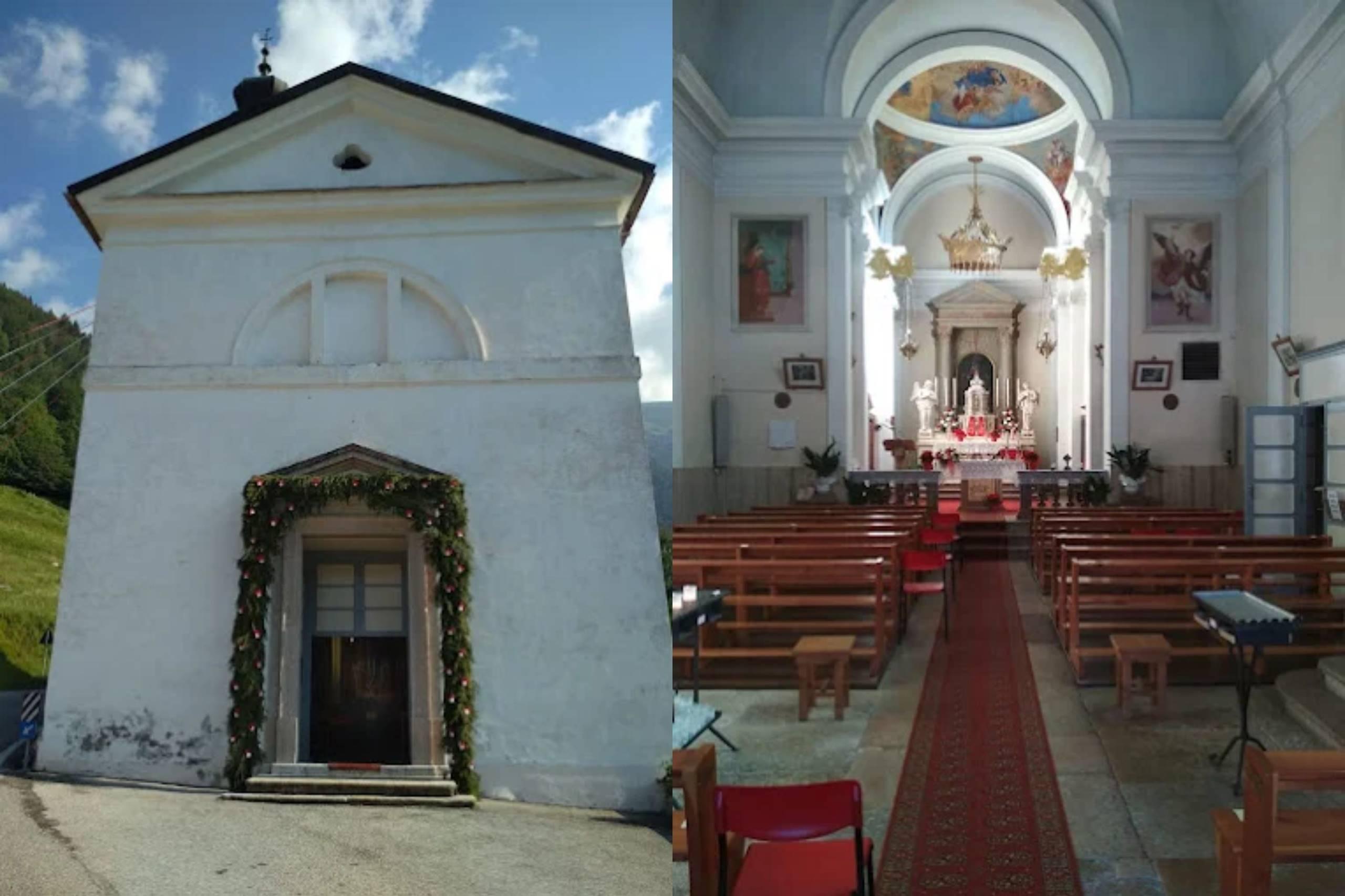
Chiesa di Santa Maria Assunta
8.4 km away, in Sovramonte
A church of Santa Maria Assunta in Sovramonte, on the slopes below the Vette Feltrine in the Dolomiti Bellunesi national park.
Malga Vette Grandi
10 km away, in Sovramonte
A malga on the high pastures of the Vette Feltrine above Sovramonte, inside the Dolomiti Bellunesi national park.
Chiesa di S. Pietro Apostolo
10.2 km away, in Sovramonte
A church dedicated to Peter the Apostle in Sovramonte, the valley of scattered villages above the Cismon, north-west of Feltre.
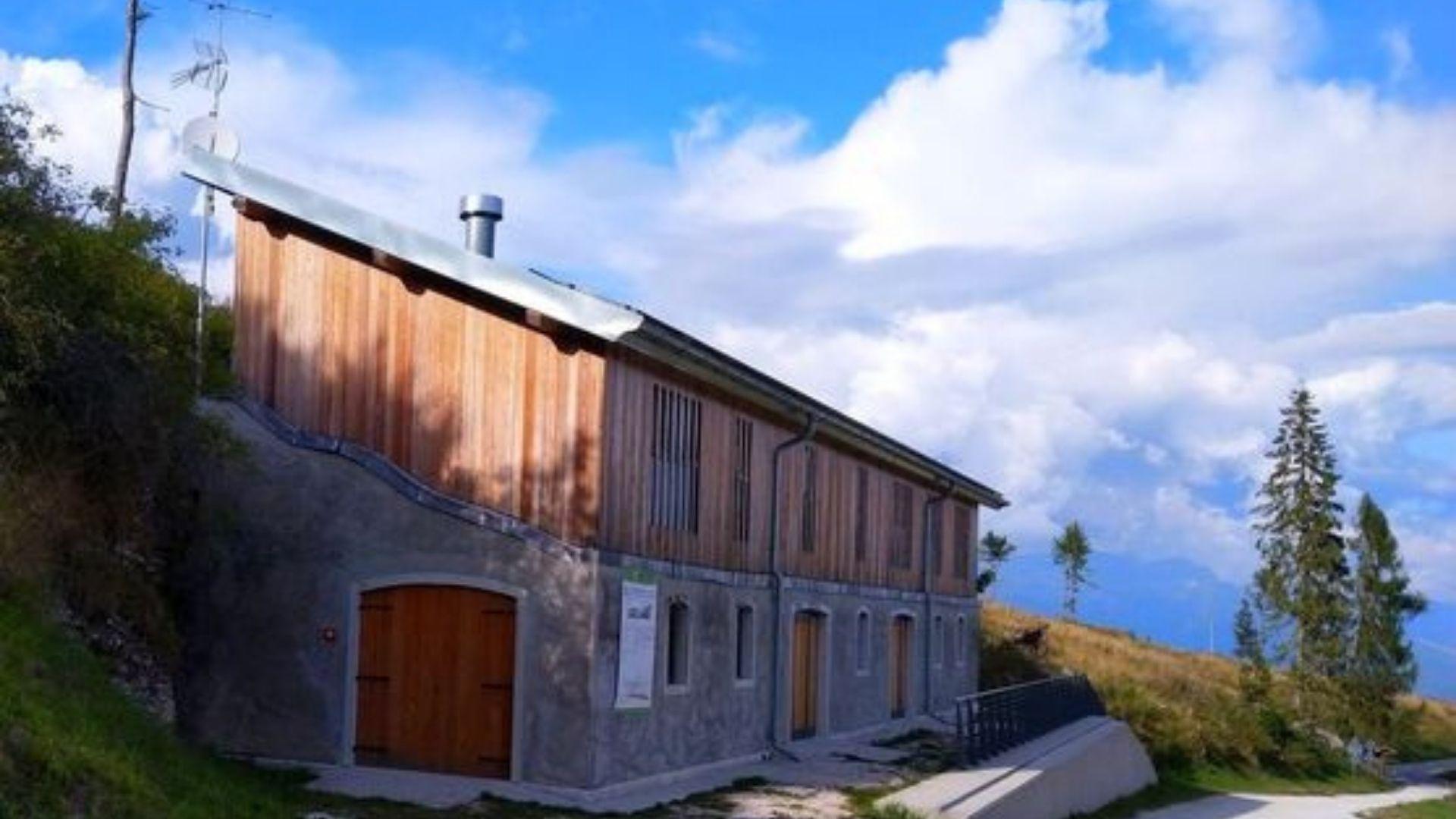
Rifugio La Casermetta
13 km away, in Arsiè
A hut on the wooded ridges above Arsiè, between the Lago del Corlo and the Grappa massif.
Nothing of this kind in Cinte Tesino.
Routes
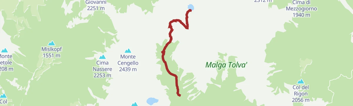
Lago di Forcella Magna U
A brief shoreline stretch at the lake below Forcella Magna, high in the Lagorai above Cinte Tesino.
- 291 m
- Distance
- 13 m
- Ascent
- 6 min
- Duration
- 11
- Check-ins
Open route Trentino FishingHiking trail - Forcella Magna
A climb on mule track to the military positions at Forcella Magna, with a short further rise to a small heart-shaped lake.
- 11.8 km
- Distance
- 677 m
- Ascent
- 4 h 45 min
- Duration
- 105
- Check-ins
 Rifugio Malga Sorgazza 1 450 m
 Bacino di Sorgazza 1 433 m
- Malga Sorgazza 1 453 m
 Forcella Magna 2 117 m
Open route APT Valsugana e LagoraiAlpine tour - Alta Via del Granito
A three-day high route on old paths and wartime mule tracks in the Lagorai, with two huts to sleep in, shepherds' cabins and summer pasture along the way.
- 28.7 km
- Distance
- 2 405 m
- Ascent
- 15 h 20 min
- Duration
- 271
- Check-ins
 Cima Lasteati 2 408 m
- Rifugio Malga Sorgazza 1 450 m
- Rifugio Cima d'Asta Ottone Brentari 2 476 m
- Bacino di Sorgazza 1 433 m
- Bivacco Caldenave 1 800 m
- Malga Sorgazza 1 453 m
- +11
Open route APT Valsugana e LagoraiMTB - Tesino Bike - Brocon Malene 2306
A long downhill run off the pass into the Val Malene, following forest roads beside the Grigno stream to the bike grill at Castello Tesino.
- 14.6 km
- Distance
- 35 m
- Ascent
- 1 h 37 min
- Duration
- 11
- Check-ins
- Passo Brocon 1 616 m
- Hotel Pizzo degli Uccelli 1 620 m
- Albergo Passo Brocon 1 617 m
- Casa Anselmi 1 604 m
- Villaggio Degasperi 1 071 m
- Maso Lagorai 1 492 m
- +1
Open route APT Valsugana e LagoraiMTB - Tesino Bike - Brocon Cascatella 2303
A shuttle-assisted descent from Passo Brocon on forest road, passing the Tesino cave before rolling out at Castello Tesino.
- 15.2 km
- Distance
- 423 m
- Ascent
- 2 h 2 min
- Duration
- 10
- Check-ins
- Passo Brocon 1 616 m
- Hotel Pizzo degli Uccelli 1 620 m
- Albergo Passo Brocon 1 617 m
- La casa ai confini 1 151 m
Open route APT Valsugana e LagoraiHiking trail - Passo Brocon's Huts
An easy walk on the old herding route to the Passo Brocon huts, used from around 1900 by shepherds taking village cattle to summer pasture.
- 5.3 km
- Distance
- 284 m
- Ascent
- 2 h 2 min
- Duration
- 10
- Check-ins
- Agritur Malga Arpaco 1 668 m
- Malga Arpaco 1 681 m
- Malga Vall'Orsella 1 458 m
- Malga Valarica di sotto 1 530 m
- Malga Valarica di Sopra 1 684 m
- Malga Valarica di sopra 1 708 m
- +1
Open route APT Valsugana e LagoraiTrekking - Baita della Pace
A climb to the Baita della Pace above the Monte Mezza meadows, a quiet viewpoint used at sunrise and sunset.
- 6.4 km
- Distance
- 439 m
- Ascent
- 2 h 56 min
- Duration
- 4
- Check-ins
Open route APT Valsugana e LagoraiTrekking
A ring traverse of the granite island formed by the Cima d'Asta and the Cime di Rava, an outlier within the Lagorai chain.
- 28.7 km
- Distance
- 2 402 m
- Ascent
- 15 h 19 min
- Duration
- 271
- Check-ins
MTB - Tesino Bike - Tesino Villages 2310
A mixed-surface ride linking the three villages of the Tesino plateau over Passo della Forcella and past the Grigno reservoir.
- 21.6 km
- Distance
- 564 m
- Ascent
- 2 h 27 min
- Duration
- 6
- Check-ins
- Passo della Forcella 910 m
- Bacino artificiale Grigno 773 m
- Pro Loco di Pieve Tesino 839 m
- Visitor center 823 m
Open route APT Valsugana e LagoraiCAI Trail 822 (Coppolo-Passo Brocòn)
An old military mule track, also called the Gramolir trail, along the quiet north side of Monte Coppolo, facing the Vette Feltrine and the Lagorai.
- 6.7 km
- Distance
- 79 m
- Ascent
- 1 h 49 min
- Duration
- 2
- Check-ins
Open route CAI Dolomiti BellunesiTorrente Grigno A2
A walk beside the Grigno torrent on the valley floor below Pieve Tesino.
- 9.1 km
- Distance
- 259 m
- Ascent
- 3 h 23 min
- Duration
Open route Trentino FishingHiking trail - Monte Cengello
A long day from Val Campelle to Monte Cengello, the rock summit standing over the Passo Cinque Croci in the Lagorai.
- 19.1 km
- Distance
- 1 268 m
- Ascent
- 8 h 34 min
- Duration
- 190
- Check-ins
- Grünbergspitze 1 976 m
- Cima Lasteati 2 408 m
- Rifugio Malga Consèria 1 848 m
- Bivacco Rifugio Consèria 1 824 m
- Passo Cinque Croci 2 023 m
- Bivacco Caldenave 1 800 m
- +6
Open route APT Valsugana e LagoraiMTB - Tesino bike - Monte Mezza 2309
A climb from Cinte Tesino on unpaved road through fir woods to the pastures below Monte Mezza, topping the Col del Latte on the way.
- 16.0 km
- Distance
- 779 m
- Ascent
- 2 h 11 min
- Duration
Open route APT Valsugana e LagoraiNordic Walking - Arboreto Tour
A short dirt-road loop on the Tesino arboretum trail, over a natural peat bog and past the Garden of Europe, which opened in 2011.
- 1.9 km
- Distance
- 20 m
- Ascent
- 30 min
- Duration
- 1
- Check-ins
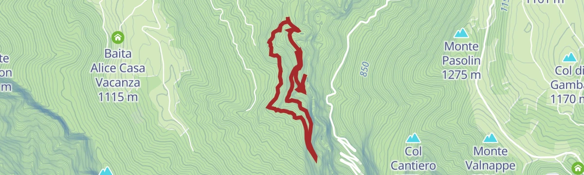
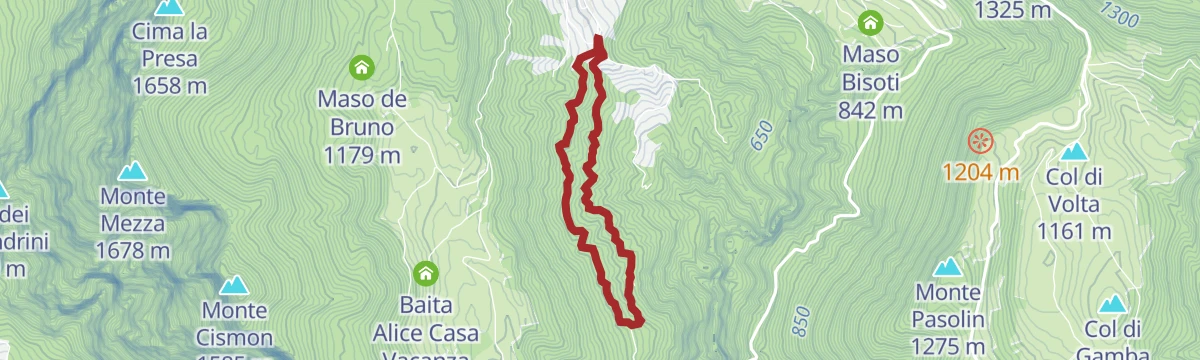
Open route APT Valsugana e LagoraiTorrente Grigno A4
A climb beside the Grigno torrent above Cinte Tesino, gaining height through the gorge.
- 3.4 km
- Distance
- 435 m
- Ascent
- 1 h 54 min
- Duration
Open route Trentino FishingHiking trail - Rifugio Cima D'Asta
A long climb to the Cima d'Asta hut, which stands by its lake under the granite summit above Pieve Tesino.
- 13.9 km
- Distance
- 1 069 m
- Ascent
- 6 h 56 min
- Duration
- 132
- Check-ins
- Rifugio Malga Sorgazza 1 450 m
- Rifugio Cima d'Asta Ottone Brentari 2 476 m
- Bacino di Sorgazza 1 433 m
- Malga Sorgazza 1 453 m
Open route APT Valsugana e LagoraiTorrente Grigno A1
A flat path beside the Grigno torrent below Cinte Tesino, on the Valsugana side of the plateau.
- 4.9 km
- Distance
- 0 m
- Ascent
- 1 h 33 min
- Duration
- 1
- Check-ins
Open route Trentino FishingTrekking - Devil's Bridge Cinte Tesino
A cabled path along the 1908 aqueduct that carried water to Grigno, running above the Grigno gorge, with a side descent to the Devil's Bridge.
- 4.8 km
- Distance
- 444 m
- Ascent
- 2 h 46 min
- Duration
Open route APT Valsugana e LagoraiThe marmots of Cima d'Asta
A steep themed trail from the Malga Sorgazza car park up to the Cima d'Asta hut, which can also be walked in part and retraced.
- 6.9 km
- Distance
- 1 044 m
- Ascent
- 4 h 6 min
- Duration
- 132
- Check-ins
- Rifugio Malga Sorgazza 1 450 m
- Rifugio Cima d'Asta Ottone Brentari 2 476 m
- Bacino di Sorgazza 1 433 m
- Malga Sorgazza 1 453 m
Open route APT Valsugana e LagoraiNordic Walking - Col dei Duri Route
A dirt-road circuit on Monte Mezza through beech woods, with the Tesino plateau, Castello Tesino and a cliff-edge viewpoint over the Valsugana.
- 4.8 km
- Distance
- 257 m
- Ascent
- 1 h 52 min
- Duration
Open route APT Valsugana e LagoraiWalk - Zen Trekking
A walk laid out for slow going above Cinte Tesino, with a barefoot stretch, a Kneipp water crossing and a hut kept for silence.
- 9.6 km
- Distance
- 444 m
- Ascent
- 3 h 21 min
- Duration
Open route APT Valsugana e LagoraiLamon Le Ej-Passo Brocòn-Coppolo-Lamon Le Ej
A long ring from Le Ej di Lamon to the Brocòn pass and back over Monte Coppolo, returning by the quiet Gramolir path on the north side.
- 14.4 km
- Distance
- 1 410 m
- Ascent
- 8 h 43 min
- Duration
- 38
- Check-ins
- Monte Luna 2 062 m
- Monte Coppolo 2 069 m
- Pilastro della Mezzaluna 2 035 m
- La Mezzaluna 2 004 m
- Baita Tabià 1 263 m
- Malga Valarica di Sopra 1 684 m
- +1
Open route CAI Dolomiti BellunesiNordic Walking - Pian di Mela Tour
A short circuit near Cinte Tesino on paved and dirt road, through woods and fields with old farmhouses and the Cima d'Asta group beyond.
- 4.4 km
- Distance
- 164 m
- Ascent
- 1 h 26 min
- Duration
Open route APT Valsugana e LagoraiOn Monte Coppolo, where the gaze runs far
A long route over Monte Coppolo and Monte Piad, up by the memorial path and down the Gramolir, with the Lagorai and the Pale di San Martino in sight.
- 17.5 km
- Distance
- 1 186 m
- Ascent
- 7 h 58 min
- Duration
- 35
- Check-ins
- Monte Coppolo 2 069 m
- Pilastro della Mezzaluna 2 035 m
- Monte Piad 1 776 m
- La Mezzaluna 2 004 m
- Baita Tabià 1 263 m
- Malga Valarica di Sopra 1 684 m
- +1
Open route CAI Dolomiti BellunesiTorrente Vanoi A1
An easy path beside the Vanoi torrent at Sovramonte, on the border between the Veneto and the Trentino.
- 3.2 km
- Distance
- 175 m
- Ascent
- 1 h 10 min
- Duration
Open route Trentino FishingWalk - Footpath Pian di Mela
A short circuit of the Pian di Mela, through woodland and past the scattered farms of Cinte Tesino.
- 4.3 km
- Distance
- 169 m
- Ascent
- 1 h 26 min
- Duration
Open route APT Valsugana e Lagorai


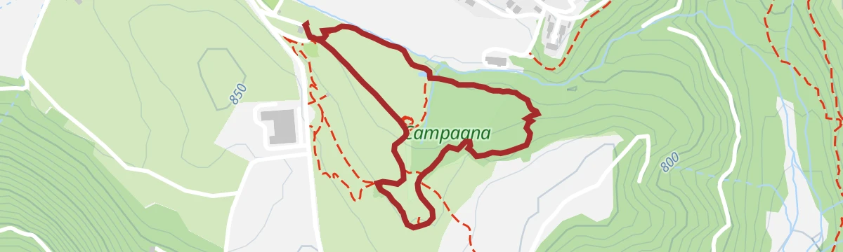




No routes of this kind in Cinte Tesino yet.
The region's own picks

Featured route
Lago di Forcella Magna U
A brief shoreline stretch at the lake below Forcella Magna, high in the Lagorai above Cinte Tesino.
Planning a trip to Cinte Tesino?
Everything else Trentino-Alto Adige/Südtirol has, in one place


Take Cinte Tesino with you into the mountains
Every route on this page with 3D terrain, GPX navigation and offline maps — including the valleys with no signal.
Data sources
- Official website: visitvalsugana.it ↗
- Routes and highlights: APT Valsugana e Lagorai, Dolomitiprealpi, Trentino Fishing, CAI Dolomiti Bellunesi, Valsugana
- Published as open data by the tourist boards named above.
- Region summary generated from the board's own material.
