
 Cable car
 Historic site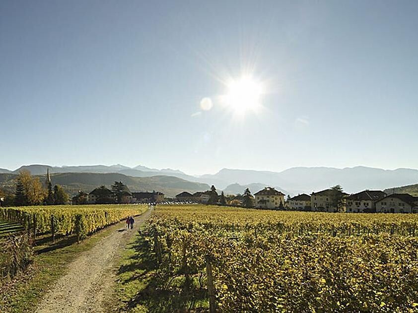





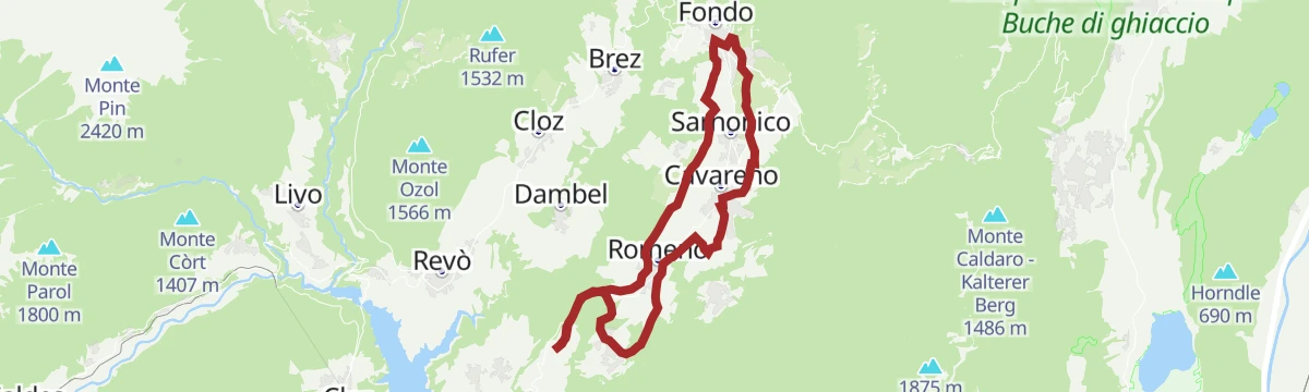
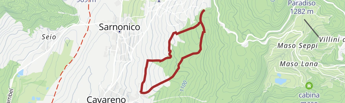
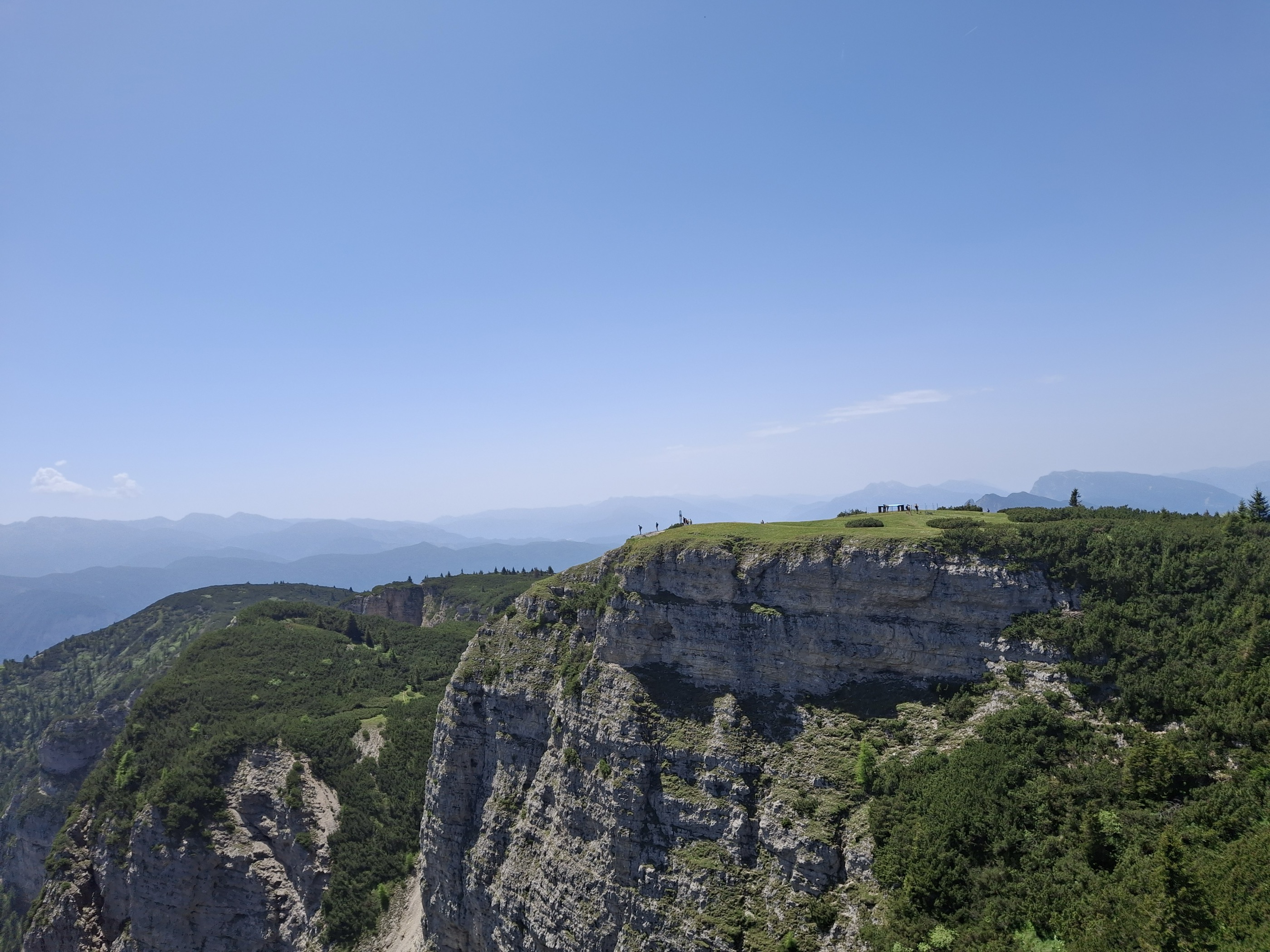
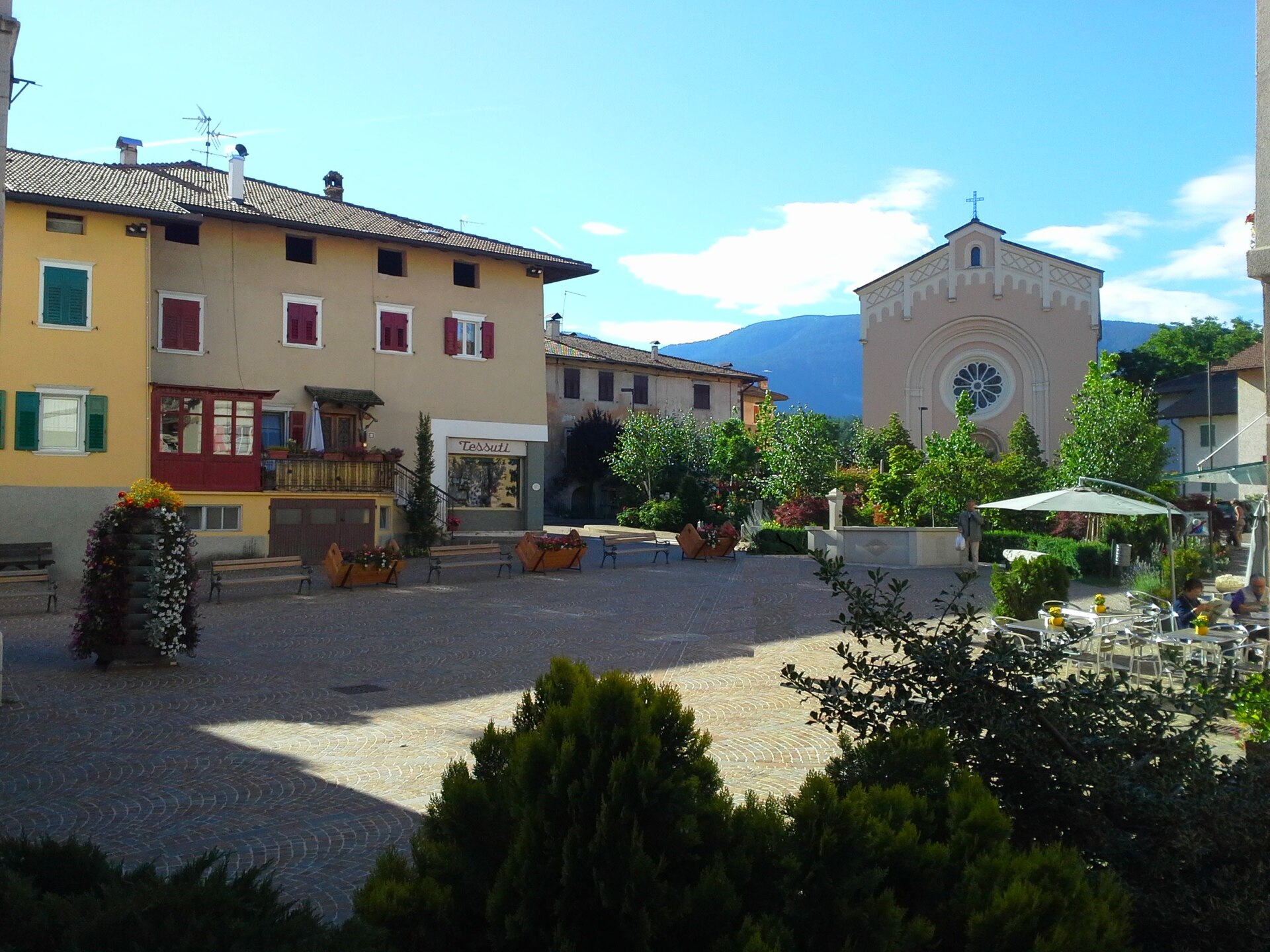
Curated by APT Val di Non
Cavareno
Village on the Alta Anaunia terrace between the Val di Non orchards and the Mendola ridge.
- 1Highlights
- 25Routes
- Featured summit · Roen
Highlights
14 from neighbouring places
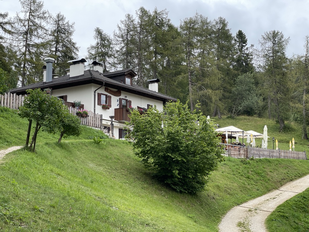
Rifugio Mezzavia
A refuge on the wooded slopes above Cavareno in the Val di Non, on the way up towards Monte Roen.
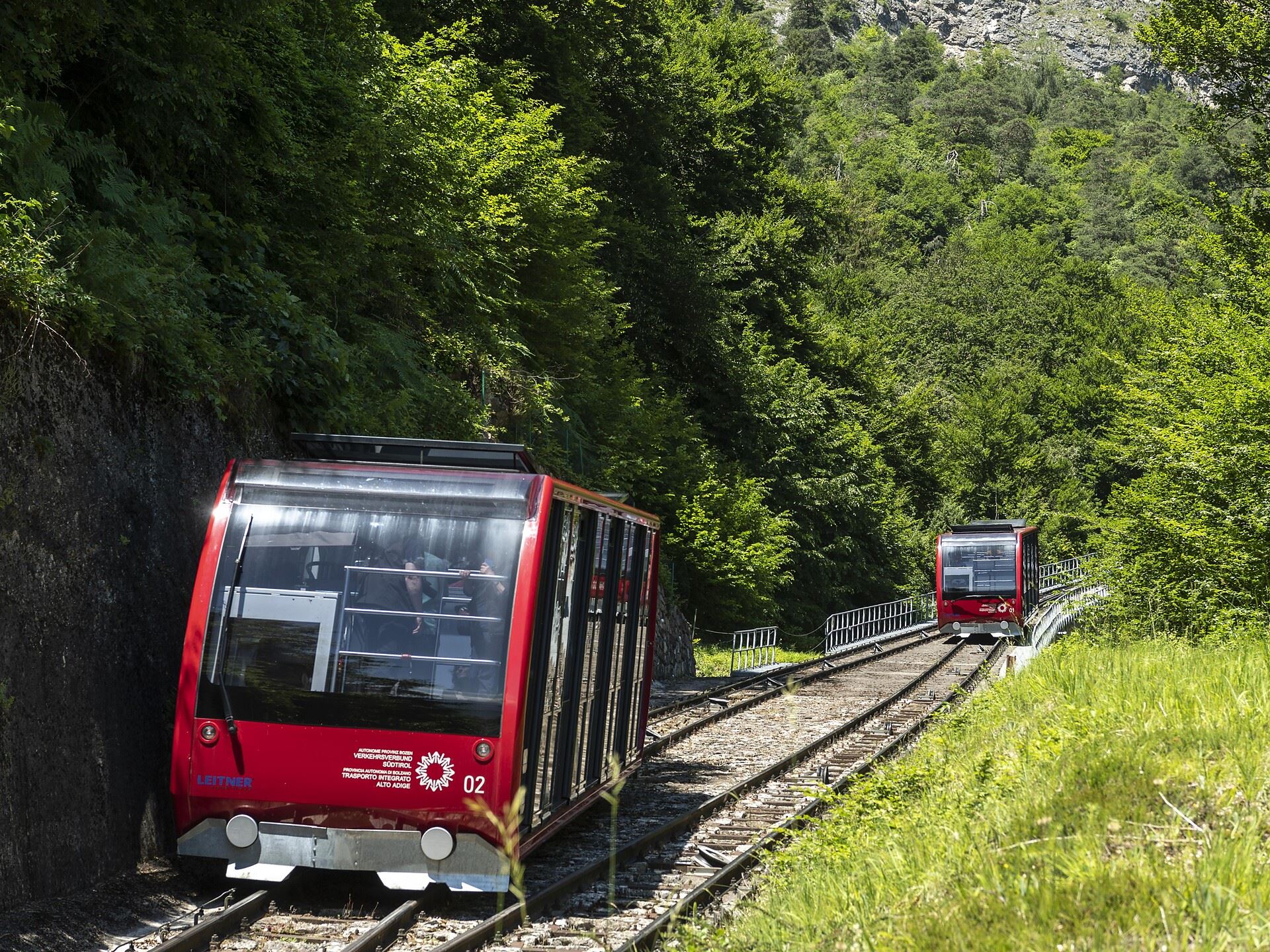
Sterzing, Pfitsch und FreienfeldFunicolare della Mendola
1.6 km away, in Caldaro sulla strada del vino/Kaltern an der Weinstraße
The Mendola funicular, opened in 1903 and among the steepest in Europe, climbing from Caldaro to the pass at 1,363 m.
Dal Passo Mendola al rifugio Mezzavia
1.6 km away, in Caldaro sulla strada del vino/Kaltern an der Weinstraße
A walk from the Mendola pass along the ridge to the Mezzavia hut, above Lake Caldaro.
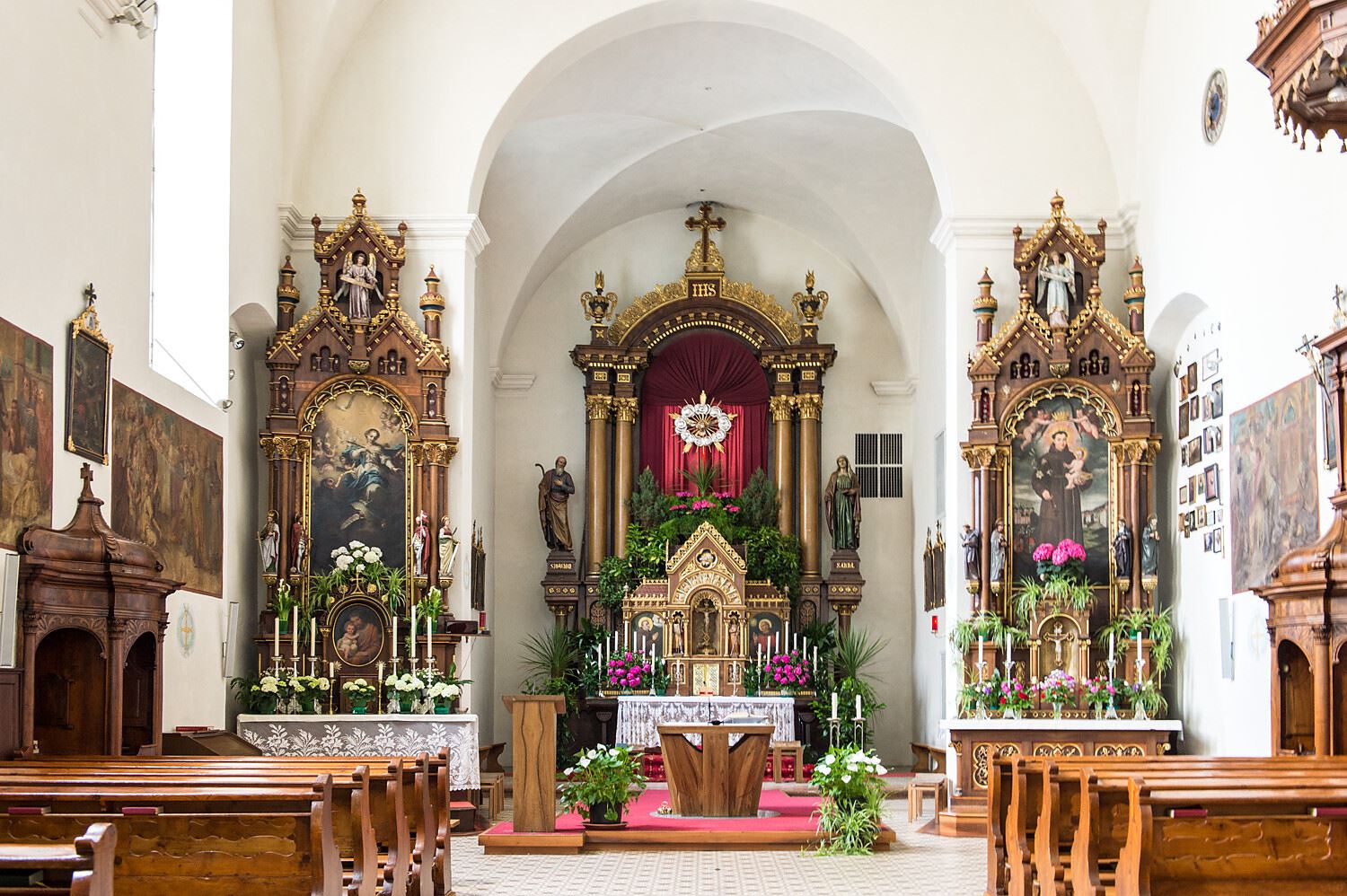
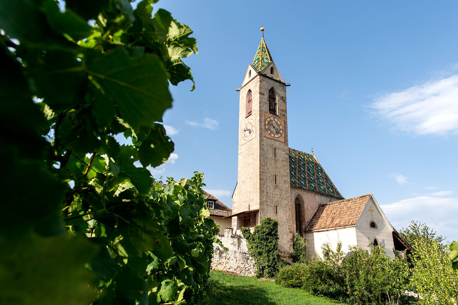
Chiesa a S. Antonio
2.4 km away, in Caldaro sulla strada del vino/Kaltern an der Weinstraße
The church of Sant'Antonio at Caldaro, on the terrace above the lake.
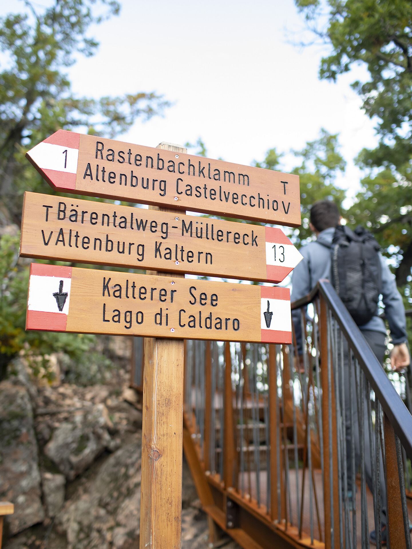
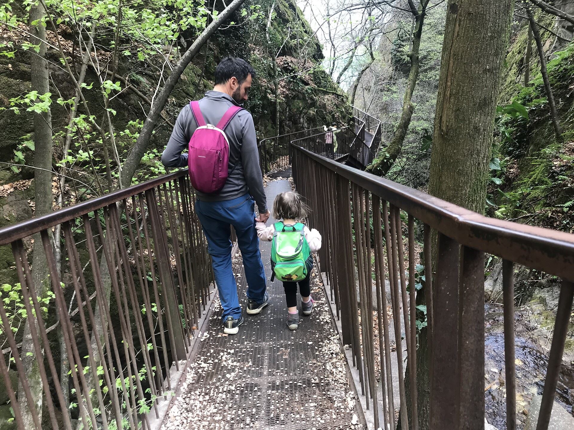
Da S. Antonio attraverso la Gola Rastenbach e il sentiero della Pace
2.4 km away, in Caldaro sulla strada del vino/Kaltern an der Weinstraße
The Rastenbach gorge above Caldaro, where a stepped path passes a Romanesque chapel on the way to the lake.
Niklaser Erlebnisweg
2.7 km away, in Caldaro sulla strada del vino/Kaltern an der Weinstraße
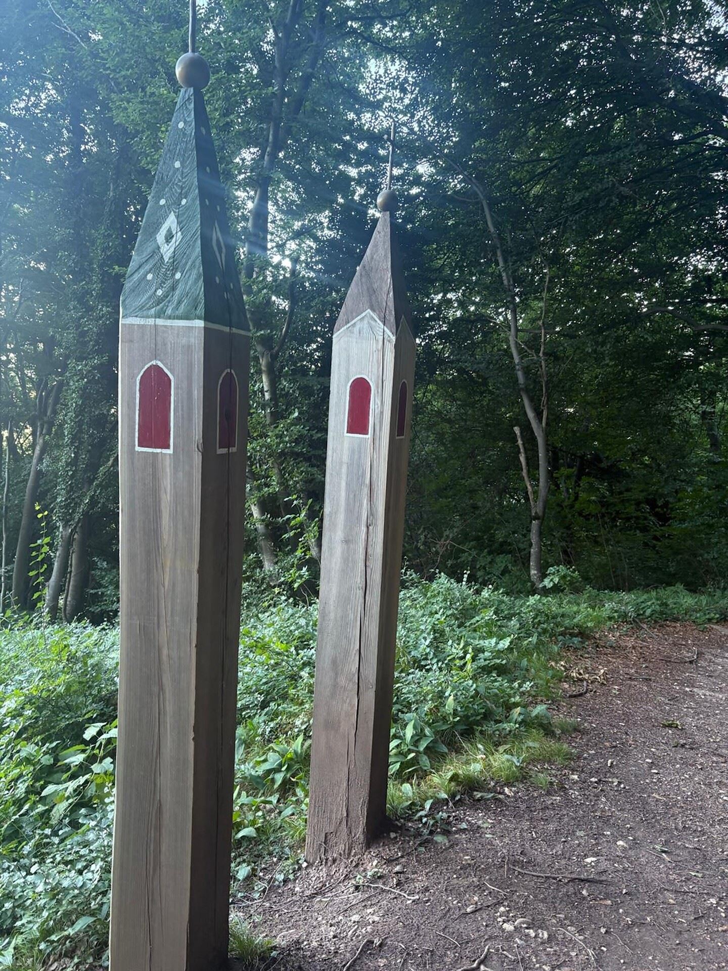
A themed walk above Caldaro through vineyards and chestnut woods to the hamlet of San Nicolò.
Chiesa S. Caterina in Villa di Mezzo
3 km away, in Caldaro sulla strada del vino/Kaltern an der Weinstraße
The church of Santa Caterina at Villa di Mezzo, one of the wine hamlets around Caldaro.
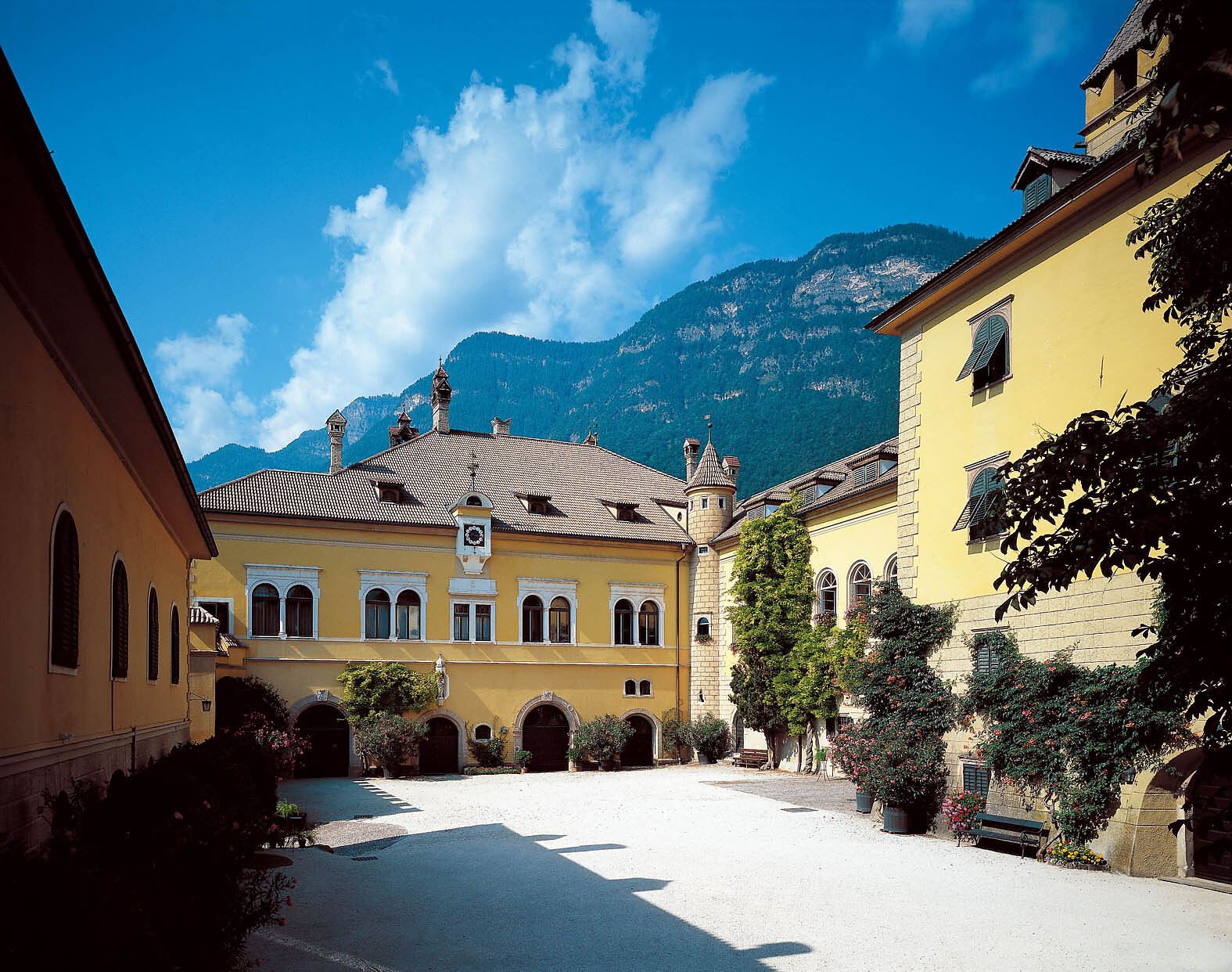
Castel Sallegg
3 km away, in Caldaro sulla strada del vino/Kaltern an der Weinstraße
A wine estate at Caldaro whose cellars and gardens date from the sixteenth century.
Percorso didattico sul vino di Castel Sallegg
3.2 km away, in Caldaro sulla strada del vino/Kaltern an der Weinstraße
A vineyard trail at Castel Sallegg above Caldaro, explaining the Lagrein and Schiava grown there.
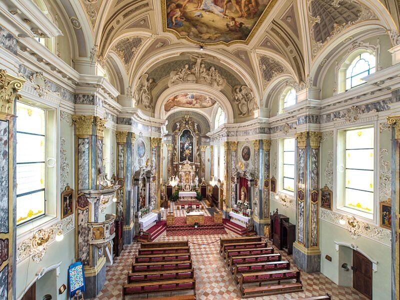
Chiesa dei frati francescani a Caldaro
3.3 km away, in Caldaro sulla strada del vino/Kaltern an der Weinstraße
The Franciscan friars' church in Caldaro, on the Wine Road below the Mendola.
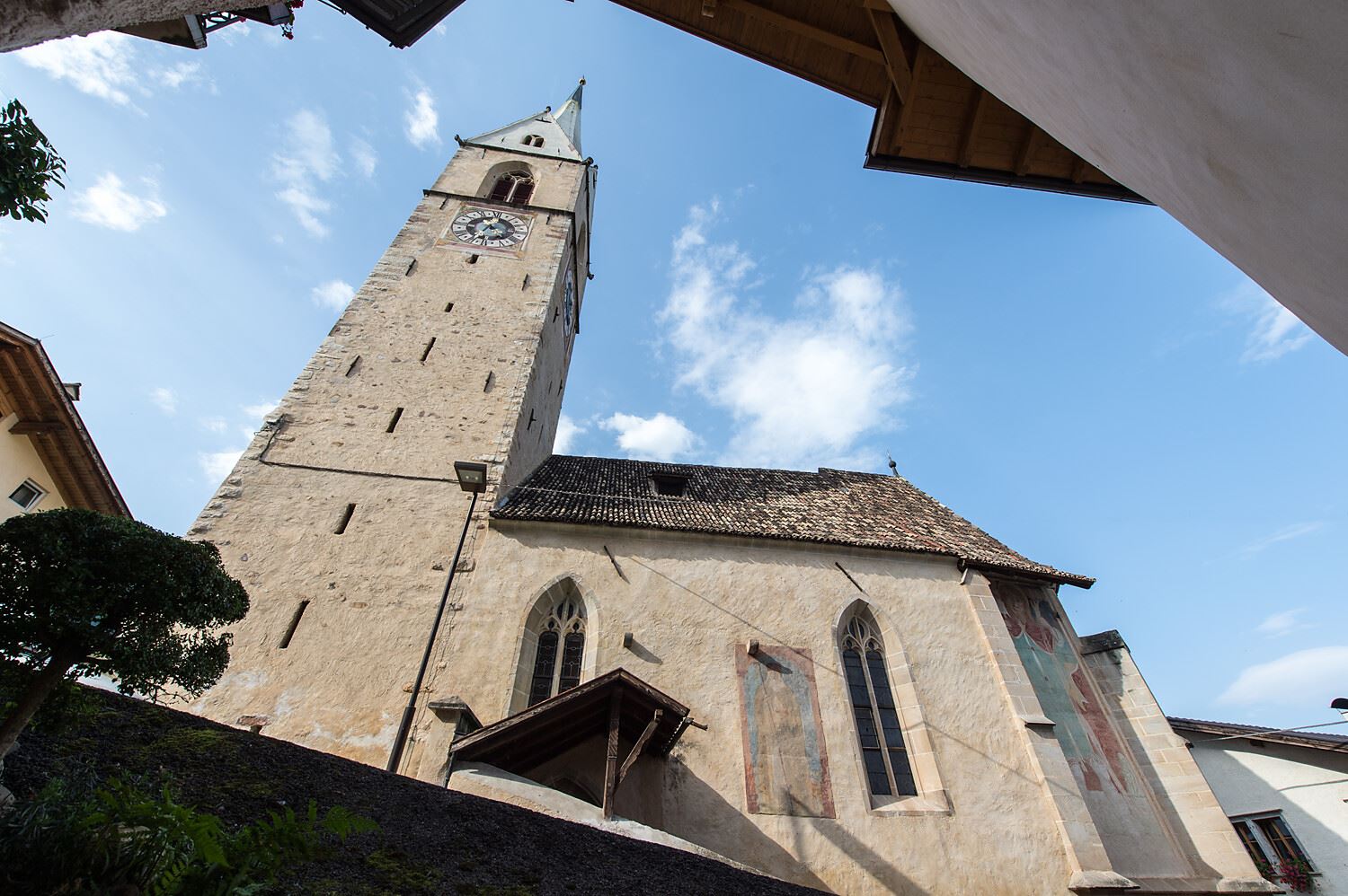
Chiesa parrocchiale S. Maria Assunta a Caldaro
3.5 km away, in Caldaro sulla strada del vino/Kaltern an der Weinstraße
The parish church of Santa Maria Assunta in Caldaro, its Gothic tower rebuilt after a fire.
Castelvecchio (Gola Rastenbach)
3.5 km away, in Caldaro sulla strada del vino/Kaltern an der Weinstraße
The ruins of Castelvecchio above the Rastenbach gorge, on the path between Caldaro and its lake.
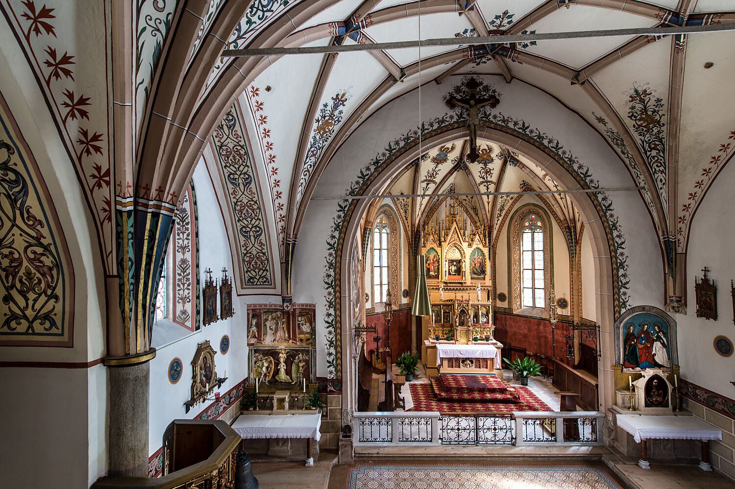
Chiesa S. Vigilio a Castelvecchio
3.8 km away, in Caldaro sulla strada del vino/Kaltern an der Weinstraße
The church of San Vigilio at Castelvecchio, above the Rastenbach gorge near Caldaro.
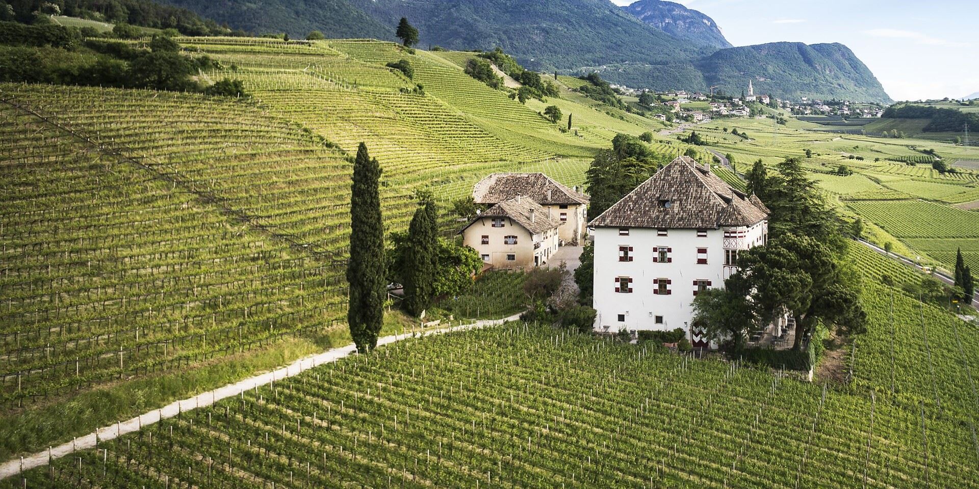
Castel Ringberg
3.8 km away, in Caldaro sulla strada del vino/Kaltern an der Weinstraße
A Renaissance manor of the prince-bishops above Lake Caldaro, still a working wine estate.
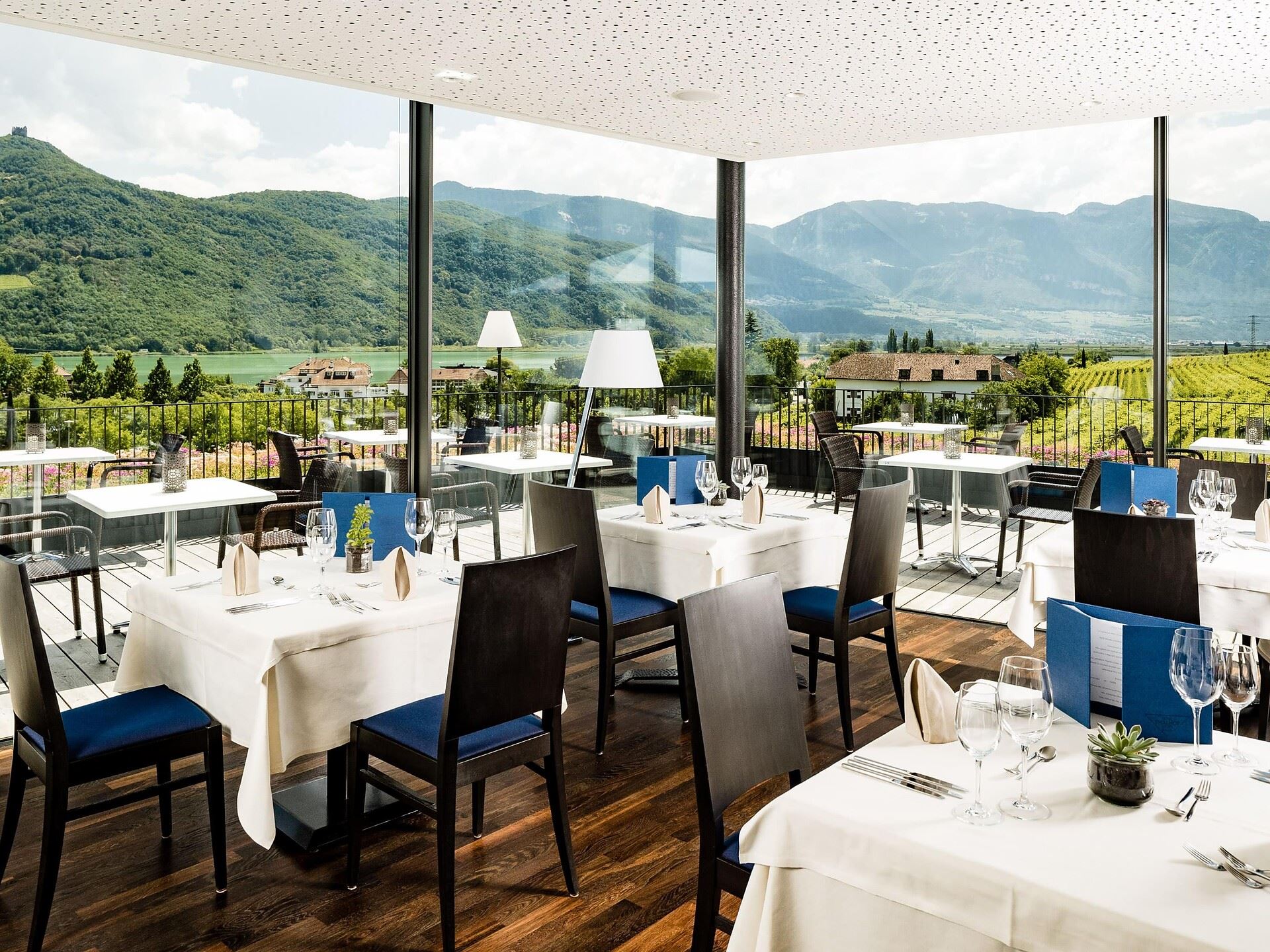
Thalhof al Lago
4.3 km away, in Caldaro sulla strada del vino/Kaltern an der Weinstraße
A lakeside bathing house on Lake Caldaro, among the vineyards of the Wine Road.
Nothing of this kind in Cavareno.
Routes
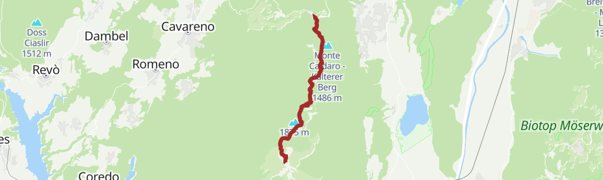
Dal Passo Mendola al rifugio Mezzavia
A broad, well-marked path from the Passo della Mendola past the Enzianhütte and through woods to the Halbweghütte.
- 3.5 km
- Distance
- 231 m
- Ascent
- 1 h 12 min
- Duration
- 76
- Check-ins
 Passo della Mendola - Mendelpass 1 363 m
 Rifugio Mezzavia - Halbweghütte 1 588 m
- Rifugio Genzianella - Enzianhütte 1 407 m
- Lavinascharte - Forcella della Lavina 1 617 m
Open route Sterzing, Pfitsch und FreienfeldMendel - Roen
A climb from the top of the Mendola funicular through forest and pasture to the Roen at 2,116 m, high above the Adige valley.
- 8.2 km
- Distance
- 758 m
- Ascent
- 3 h 22 min
- Duration
- 140
- Check-ins
 Roen 2 116 m
- Croce del Roen 2 108 m
- Sas de la Prieda 1 658 m
- Passo della Mendola - Mendelpass 1 363 m
- Malga Romeno 1 773 m
- Rifugio Mezzavia - Halbweghütte 1 588 m
- +2
Open route Südtirols SüdenM-18 Roen
A long route from the Adige valley at Termeno up to the Roen, its summit cross and the Sas de la Prieda on the Mendola ridge.
- 41.4 km
- Distance
- 2 005 m
- Ascent
- 14 h 49 min
- Duration
- 165
- Check-ins
With ski mountaineering to the easy summit of Mount Roen
A ski ascent of Monte Roen on a beaten track, with a gully of fresh snow off the summit as a variant on the way down to Malga di Romeno.
- 12.5 km
- Distance
- 772 m
- Ascent
- 773 m
- Descent
- 4 h 4 min
- Duration
- 95
- Check-ins
- Roen 2 116 m
- Croce del Roen 2 108 m
- Sas de la Prieda 1 658 m
- Malga Romeno 1 773 m
- Rifugio Mezzavia - Halbweghütte 1 588 m
- Mendel Stube 1 373 m
- +2
Open route APT Val di NonTour de Non MTB Experience: Stage 02 Senale - Malga di Romeno
A stage over the Gampenpass onto the Mendola ridge, where the pastures thin out and the singletrack turns wild and exposed, ending at Malga Romeno.
- 39.5 km
- Distance
- 1 406 m
- Ascent
- 4 h 41 min
- Duration
- 172
- Check-ins
- Gantkofel 1 866 m
- Sas de la Prieda 1 658 m
- Croce di Forcella Piccola 1 829 m
- Passo della Mendola - Mendelpass 1 363 m
- Malga Romeno 1 773 m
- Rifugio Mezzavia - Halbweghütte 1 588 m
- +15
Open route APT Val di NonMacaion Roen Gravel
A demanding gravel loop from Cavareno by way of the Lago di Tret, along the ridge high above the Adige and down to the Mendola pass.
- 59.9 km
- Distance
- 2 141 m
- Ascent
- 7 h 20 min
- Duration
- 140
- Check-ins
- Sas de la Prieda 1 658 m
- Passo della Mendola - Mendelpass 1 363 m
- Malga Romeno 1 773 m
- Rifugio Mezzavia - Halbweghütte 1 588 m
- Rifugio Genzianella - Enzianhütte 1 407 m
- Hotel Lago Smeraldo 1 016 m
- +10
Open route APT Val di NonJacopeo d'Anaunia Path - Stage I, Part 1 from Sanzeno to Fondo - Ronzone variant
A variant on the Sanzeno to Fondo stage, crossing Val di Non meadows and passing the late medieval church of San Fabiano and Sebastiano with its frescoes.
- 5.7 km
- Distance
- 151 m
- Ascent
- 1 h 44 min
- Duration
- 22
- Check-ins
- Canyon Rio Sass 971 m
- Ufficio Turistico di Fondo 975 m
- Ufficio Informazioni Estivo 984 m
- Pro Loco Cavareno 971 m
Open route APT Val di NonRoute 1420 - Mendola Mezzavia
A forest circuit up to the Rifugio Mezzavia below the Passo della Mendola, dropping through the Regole di Malosco to the lakes at Ruffrè.
- 12.5 km
- Distance
- 488 m
- Ascent
- 4 h 8 min
- Duration
- 82
- Check-ins
- Passo della Mendola - Mendelpass 1 363 m
- Rifugio Mezzavia - Halbweghütte 1 588 m
- Rifugio Genzianella - Enzianhütte 1 407 m
 Laghetto dei Masi (superiore) 1 113 m
- Maso Michei 1 146 m
- cabina maso micheli 1 155 m
Open route APT Val di NonFrom Mendola Pass to Mount Roen Peak through Malga Smarano
A climb on SAT 500 from the Mendola pass by the Mezzavia hut and Malga di Romeno to Monte Roen, steepest on the last pull to the top.
- 18.9 km
- Distance
- 861 m
- Ascent
- 6 h 34 min
- Duration
- 140
- Check-ins
- Roen 2 116 m
- Croce del Roen 2 108 m
- Sas de la Prieda 1 658 m
- Passo della Mendola - Mendelpass 1 363 m
- Malga Romeno 1 773 m
- Rifugio Mezzavia - Halbweghütte 1 588 m
- +3
Open route APT Val di NonVal di Non Bike Race - 14th Edition
The competition course of one edition of the event, climbing from the Laghetti dei Masi to Malga Romeno and the Mendelkamm above the pass.
- 38.3 km
- Distance
- 1 458 m
- Ascent
- 4 h 47 min
- Duration
- 116
- Check-ins
- Sas de la Prieda 1 658 m
- Passo della Mendola - Mendelpass 1 363 m
- Malga Romeno 1 773 m
- Rifugio Mezzavia - Halbweghütte 1 588 m
- Rifugio Genzianella - Enzianhütte 1 407 m
- Laghetto dei Masi (superiore) 1 113 m
- +8
Open route APT Val di NonRoute exploring Passo Mendola and the Masi of Ruffrè
A quiet road route to the Mendola pass and the Ruffrè lakes, with a final pull up to the Penegal.
- 19.1 km
- Distance
- 691 m
- Ascent
- 2 h 21 min
- Duration
- 95
- Check-ins
- Kleiner Penegal 1 578 m
- Passo della Mendola - Mendelpass 1 363 m
- Azienda per il Turismo Val di Non 1 364 m
- Rifugio Genzianella - Enzianhütte 1 407 m
- PanoramaHotel Penegal 1 733 m
- Laghetto dei Masi (superiore) 1 113 m
- +3
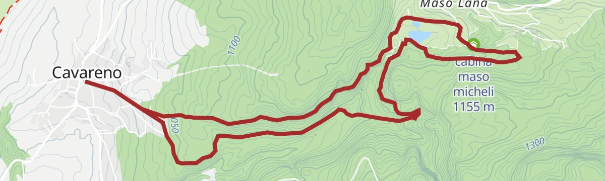
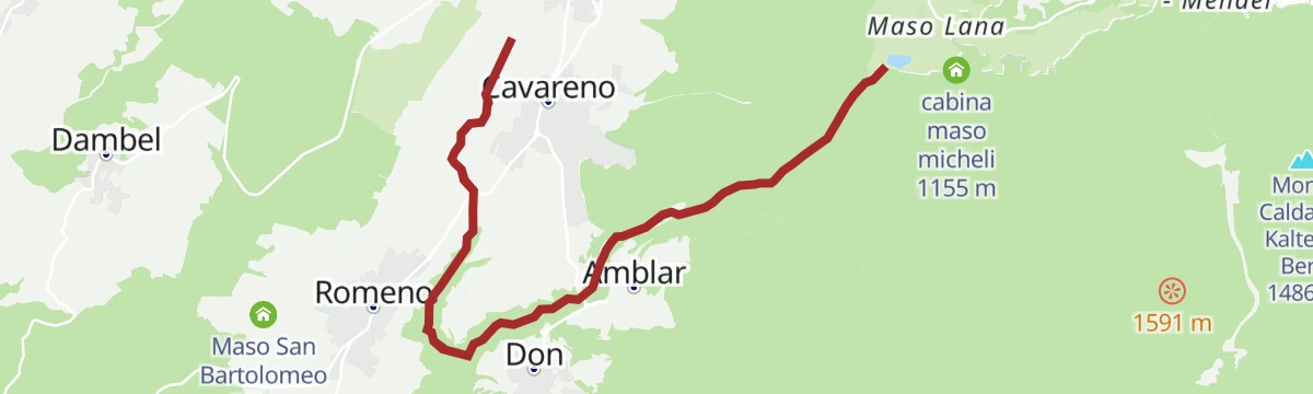
Open route APT Val di NonLez "Dria al Foss" from Cavareno to the lakes of Ruffrè
A flat path from Cavareno to the Ruffrè lakes, lately made good with old-style benches and fences, through pine and beech over heather.
- 6.5 km
- Distance
- 182 m
- Ascent
- 1 h 58 min
- Duration
- 8
- Check-ins
- Laghetto dei Masi (superiore) 1 113 m
- Laghetto dei Masi (inferiore) 1 106 m
- Maso Michei 1 146 m
Open route APT Val di NonWalk to the Pradiei
A near-level family walk out to the Pradiei meadows, where cows and horses graze, with the Adamello-Brenta and the Maddalene chain behind.
- 10.1 km
- Distance
- 82 m
- Ascent
- 2 h 34 min
- Duration
- 13
- Check-ins
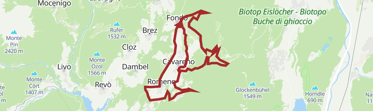
Open route APT Val di NonOn the trail of the ValdiNonBike race
A long loop on the course of the local bike race, running through orchards and past the Laghetti dei Masi between Fondo and Cavareno.
- 42.8 km
- Distance
- 1 371 m
- Ascent
- 5 h 6 min
- Duration
- 34
- Check-ins
- Hotel Lago Smeraldo 1 016 m
- Paradiso 1 282 m
- Ufficio Turistico di Fondo 975 m
- Ufficio Informazioni Estivo 984 m
- Laghetto dei Masi (inferiore) 1 106 m
- Maso Michei 1 146 m
- +4
Open route APT Val di NonAlta Val di Non cycle path (with Passo Mendola connection)
A paved loop linking the villages of the upper Val di Non, with the new connection to the Mendola pass.
- 41.8 km
- Distance
- 823 m
- Ascent
- 4 h 29 min
- Duration
- 64
- Check-ins
- Passo della Mendola - Mendelpass 1 363 m
- Canyon Rio Sass 971 m
- Ufficio Turistico di Fondo 975 m
- Ufficio Informazioni Estivo 984 m
- Pro Loco Cavareno 971 m
- Madonna Brusada 969 m
Open route APT Val di NonBrocon Trail - Red Trail Nordic Walking Park "Alta Val di Non" - Cavareno
A short nordic walking loop of moderate effort at the foot of Monte Roen, in the upper Val di Non.
- 3.4 km
- Distance
- 88 m
- Ascent
- 1 h 1 min
- Duration
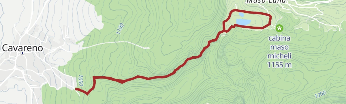
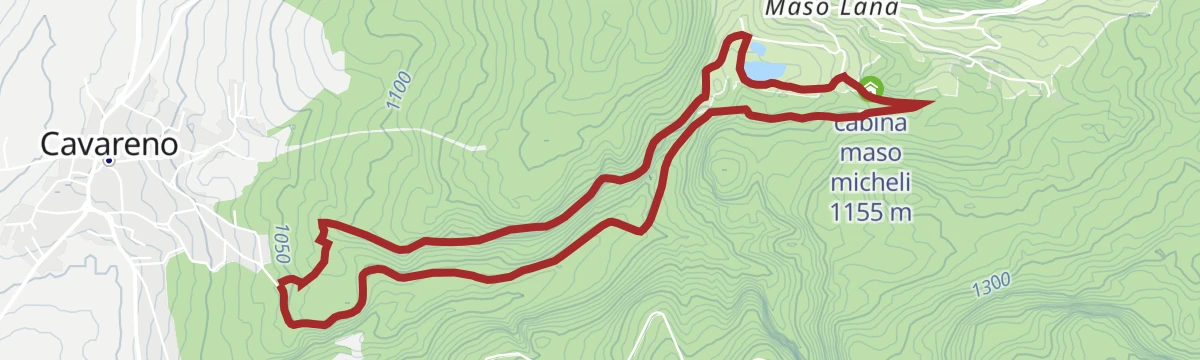
Open route APT Val di NonLoop trail from the centre of Cavareno to Lakes Masi in Ruffrè along the Linòr valley
A broad woodland trail from the middle of Cavareno up the Linòr valley to the Masi lakes at Ruffrè, shaded and with little height gain.
- 10.1 km
- Distance
- 330 m
- Ascent
- 3 h 10 min
- Duration
- 12
- Check-ins
- Laghetto dei Masi (superiore) 1 113 m
- Pro Loco Cavareno 971 m
- Laghetto dei Masi (inferiore) 1 106 m
- Maso Michei 1 146 m
- cabina maso micheli 1 155 m
Open route APT Val di NonRoute 1418 - Malga di Romeno
A long ride to Malga di Romeno, asphalt then dirt at an easy gradient, returning by the Mezzavia hut and the Ruffrè ponds to the old centre of Cavareno.
- 23.3 km
- Distance
- 903 m
- Ascent
- 2 h 55 min
- Duration
- 61
- Check-ins
- Sas de la Prieda 1 658 m
- Malga Romeno 1 773 m
- Rifugio Mezzavia - Halbweghütte 1 588 m
- Laghetto dei Masi (superiore) 1 113 m
- Laghetto dei Masi (inferiore) 1 106 m
- Maso Michei 1 146 m
- +1
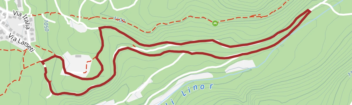
Open route APT Val di NonIl canto del Linor - Blue Trail Nordic Walking Park "Alta Val di Non" Cavareno
A short easy nordic walking loop in the Linor valley above Cavareno, in the upper Val di Non.
- 3.2 km
- Distance
- 83 m
- Ascent
- 58 min
- Duration
Open route APT Val di NonVia dell'Imperatore - Black Route Nordic Walking Park "Alta Val di Non" - Cavareno
A nordic walking route in the forest above Cavareno, among beech, larch and pine with heather underfoot and running water alongside.
- 7.1 km
- Distance
- 228 m
- Ascent
- 2 h 13 min
- Duration
- 9
- Check-ins
- Laghetto dei Masi (superiore) 1 113 m
- Laghetto dei Masi (inferiore) 1 106 m
- Maso Michei 1 146 m
- cabina maso micheli 1 155 m
Open route APT Val di NonRoute 1417 - Val di Non Bike
A circuit of the villages at the head of the Val di Non, crossing open meadows in view of the Brenta group and the Rio Sass canyon.
- 48.1 km
- Distance
- 1 224 m
- Ascent
- 5 h 24 min
- Duration
- 49
- Check-ins
- Hotel Lago Smeraldo 1 016 m
- Canyon Rio Sass 971 m
- Paradiso 1 282 m
- Ufficio Turistico di Fondo 975 m
- Ufficio Informazioni Estivo 984 m
- Laghetto dei Masi (superiore) 1 113 m
- +7
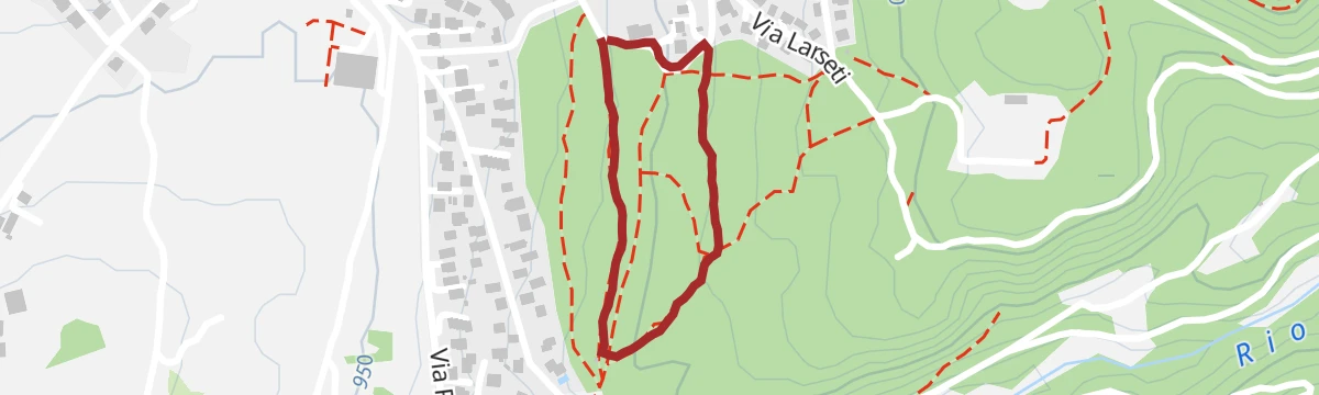
Open route APT Val di NonLoop at Parco Arte Pineta in Cavareno
A very short loop in the Parco Arte Pineta at Cavareno, past sculptures, picnic tables, a small amphitheatre and a stretch of trench from the First World War.
- 1.1 km
- Distance
- 21 m
- Ascent
- 18 min
- Duration
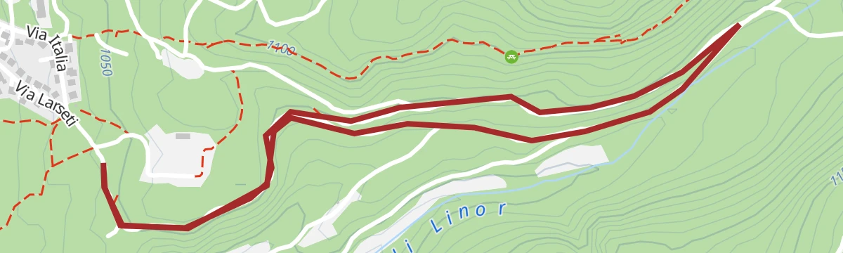
Open route APT Val di NonTorrente Linor-Moscabio LM
A nearly level route along the Linòr stream below Cavareno, passing the old mill known as the Mulino del Nin along the way.
- 10.2 km
- Distance
- 90 m
- Ascent
- 2 h 49 min
- Duration
Open route Trentino FishingUpper Val di Non cycle path
A marked loop through Romeno, Cavareno and Fondo, mostly level on its western side.
- 23.1 km
- Distance
- 412 m
- Ascent
- 2 h 26 min
- Duration
- 24
- Check-ins
- Canyon Rio Sass 971 m
- Ufficio Turistico di Fondo 975 m
- Ufficio Informazioni Estivo 984 m
- Pro Loco Cavareno 971 m
- Madonna Brusada 969 m
Open route APT Val di NonSissipromenade walk
An easy, sunny walk on lanes and farm tracks between Ronzone and Cavareno, waymarked in white and magenta and named for Empress Sissi.
- 4.0 km
- Distance
- 152 m
- Ascent
- 1 h 19 min
- Duration
Open route APT Val di Non
No routes of this kind in Cavareno yet.
The region's own picks
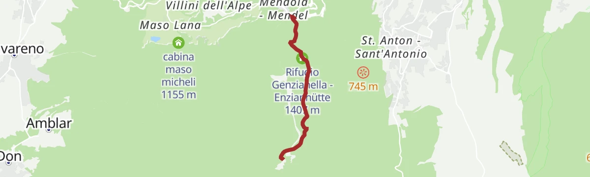
Featured route
Dal Passo Mendola al rifugio Mezzavia
A broad, well-marked path from the Passo della Mendola past the Enzianhütte and through woods to the Halbweghütte.
Planning a trip to Cavareno?
Everything else Trentino-Alto Adige/Südtirol has, in one place


Take Cavareno with you into the mountains
Every route on this page with 3D terrain, GPX navigation and offline maps — including the valleys with no signal.
Data sources
- Official website: visittrentino.info ↗
- Routes and highlights: APT Val di Non, Kaltern an der Weinstraße, Sterzing, Pfitsch und Freienfeld, Südtirols Süden, Tramin an der Weinstraße, Trentino Fishing
- Published as open data by the tourist boards named above.
- Region summary generated from the board's own material.
