
Curated by Valtellina Outdoor
Campodolcino
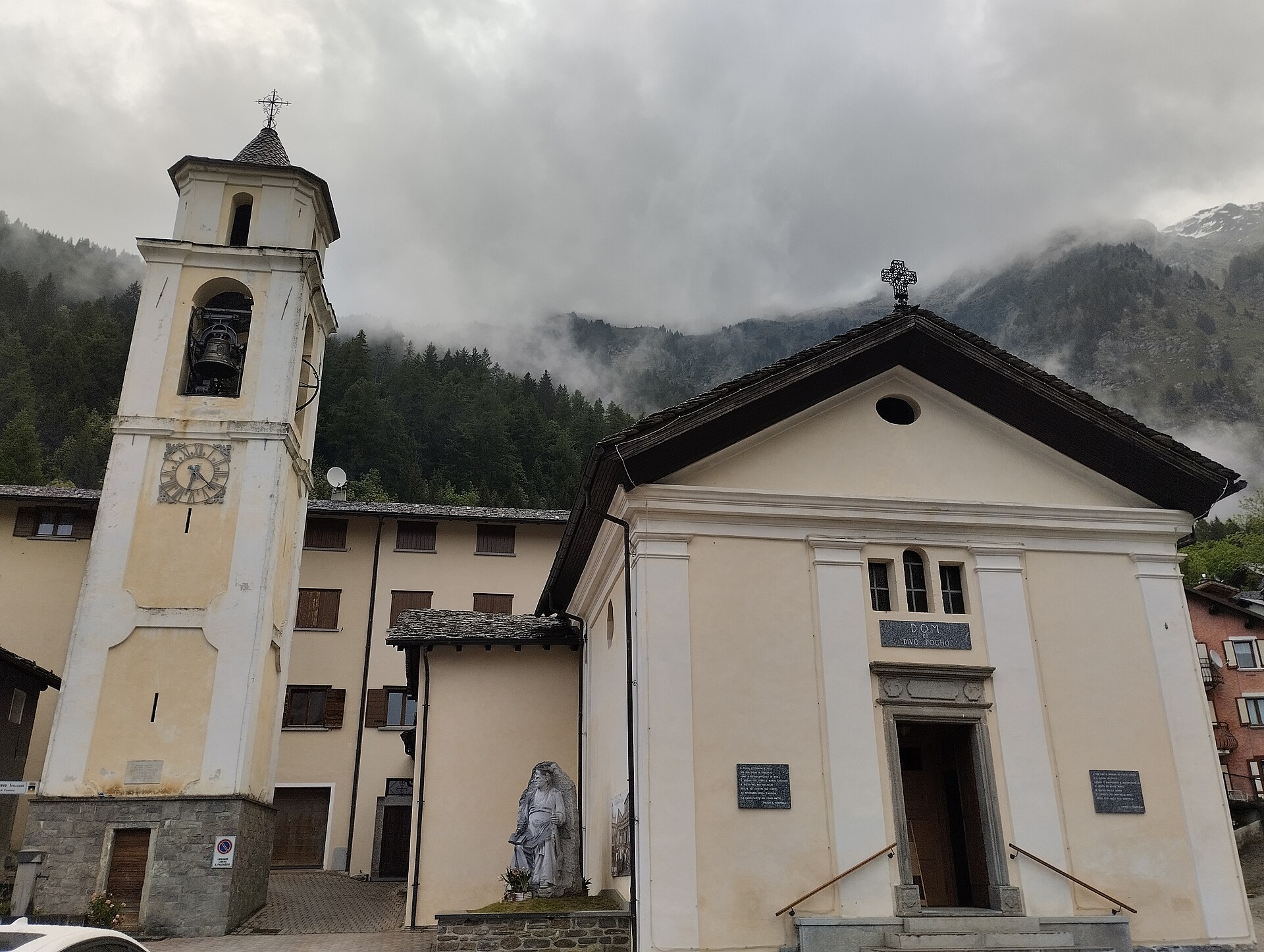
Val San Giacomo village on the road from Chiavenna to the Spluga pass, with the Gallivaggio sanctuary below.
- 1Highlights
- 6Routes
Highlights
All 1 from neighbouring places
Park der Marmitte dei Giganti
10.1 km away, in Chiavenna
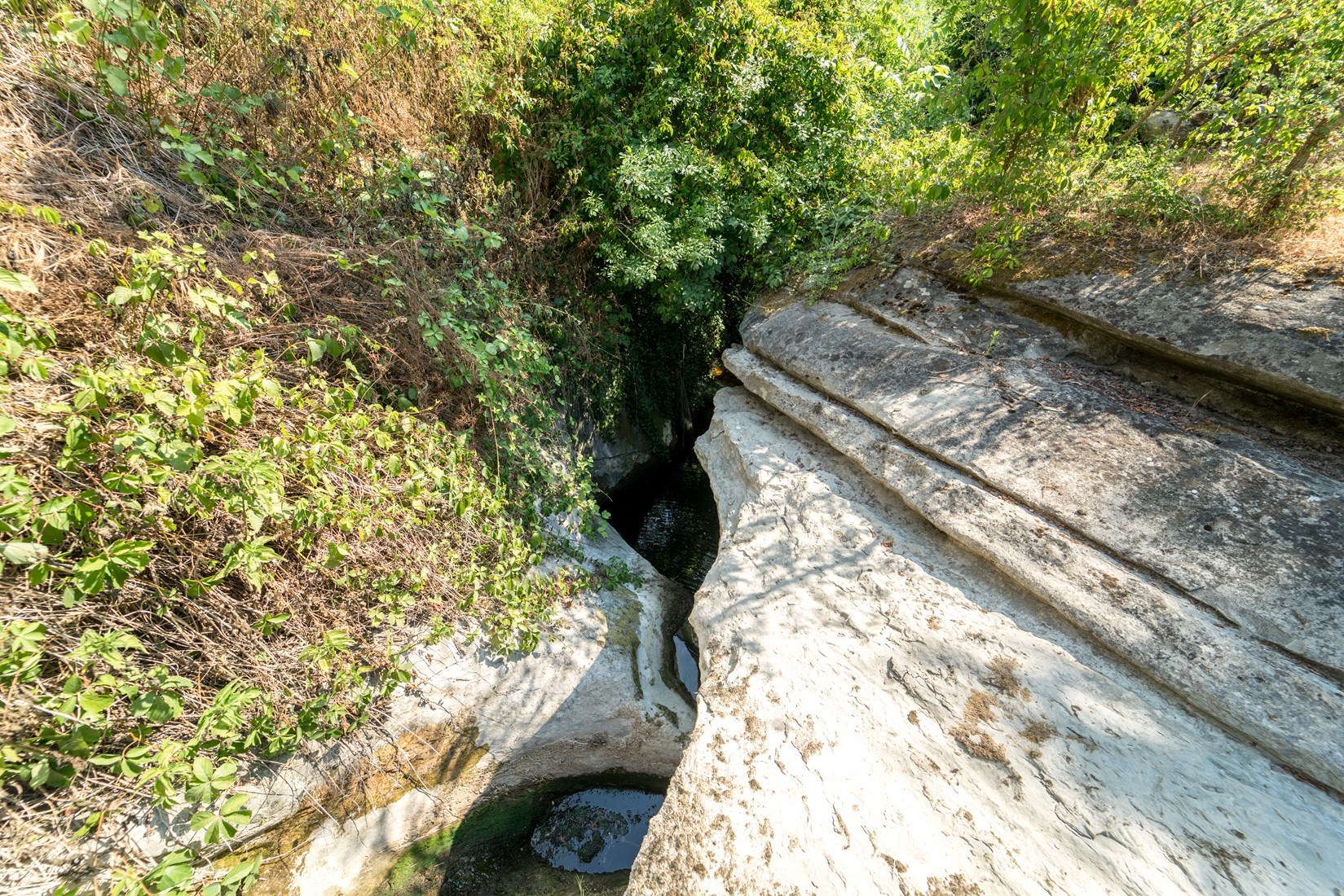
Glacial potholes ground into the rock above Chiavenna, in a park with rock carvings beside them.
Nothing of this kind in Campodolcino.
Routes
14 from neighbouring places
Campodolcino to Fraciscio
A short steep climb from Campodolcino to Fraciscio, birthplace of Don Luigi Guanella, on the way up to the Spluga pass.
- 2.8 km
- Distance
- 230 m
- Ascent
- 1 h 3 min
- Duration
- 6
- Check-ins
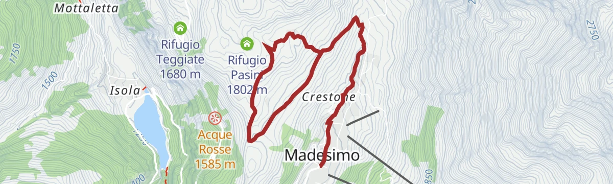
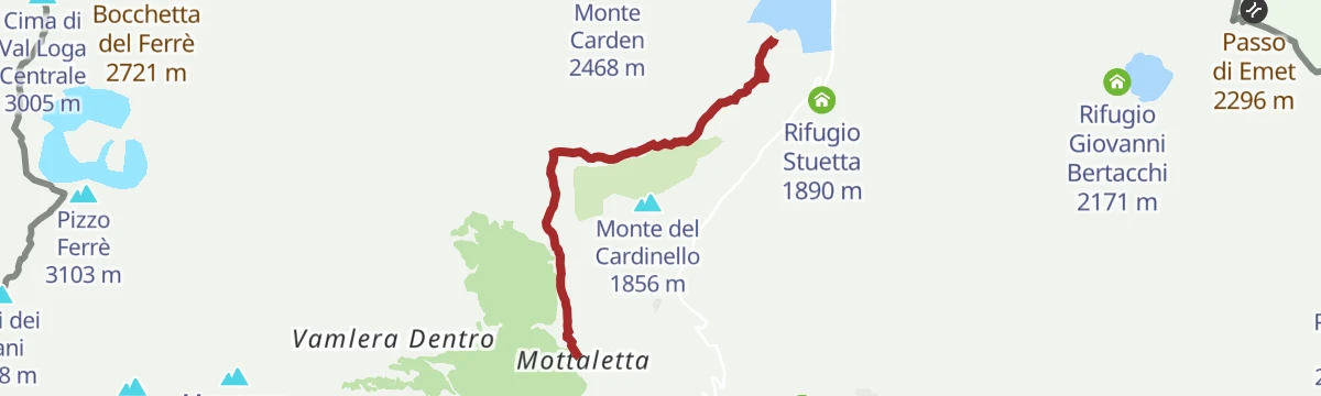
Open route Valtellina OutdoorCircular route Madesimo - Motta - Lago Azzurro - Alpe Groppera - Alpe Pianello
A circuit from Madesimo up to Motta and the Lago Azzurro at 1,860 m, then across the hillside by Alpe Groppera to Alpe Pianello.
- 5.4 km
- Distance
- 380 m
- Ascent
- 1 h 52 min
- Duration
- 5
- Check-ins
Open route Valtellina OutdoorIl Pian dei Cavalli da Campodolcino
A long ascent from Campodolcino to the Pian dei Cavalli, a plateau above 2,000 m between the Starleggia and Febbraro valleys with Mesolithic sites.
- 25.4 km
- Distance
- 1 154 m
- Ascent
- 8 h 49 min
- Duration
- 10
- Check-ins
Campodolcino - Isola- Pian dei Cavalli - Campodolcino bike loop.
A climbing loop from the valley floor at Campodolcino by way of Isola and the old Via Spluga inn, up to a hut at 1,826 m.
- 25.3 km
- Distance
- 1 138 m
- Ascent
- 3 h 19 min
- Duration
- 10
- Check-ins
Open route Valtellina OutdoorFrom Campodolcino to Fraciscio
A path from the old bridge over the Rabbiosa to a belvedere above the Caurga gorge, then along the wooded valley side to the houses of Fraciscio.
- 591 m
- Distance
- 160 m
- Ascent
- 34 min
- Duration
Open route Valtellina OutdoorCampodolcino to Starleggia
A climb to Starleggia at 1,565 m, a shelf hamlet in the Valle Spluga known for its potatoes, facing Pizzo Stella, Groppera and Suretta.
- 6.2 km
- Distance
- 553 m
- Ascent
- 2 h 35 min
- Duration
- 3
- Check-ins
Open route Valtellina OutdoorTo the Baldiscio Lakes
4.6 km away, in Madesimo
A climb above Isola past the huts of Cà Raseri and through larch wood to the Baldiscio lakes; the access road needs a paid permit.
- 7.2 km
- Distance
- 1 046 m
- Ascent
- 4 h 6 min
- Duration
- 3
- Check-ins
 Rifugio Baldiscio m.2321 2 318 m
 Lago Grande 2 302 m
Open route Valtellina OutdoorCiclabile Valchiavenna
14.8 km away, in Villa di Chiavenna
A level route along the Valchiavenna floor beside the river, through its old villages.
- 37.5 km
- Distance
- 59 m
- Ascent
- 3 h 33 min
- Duration
- 12
- Check-ins
Open route Valtellina OutdoorOld road to Pianazzo
3 km away, in Madesimo
An easy lit path from Madesimo down to Pianazzo, passing the hundred-metre Catino fall and the Pianazzo fall; usable with a pushchair.
- 1.7 km
- Distance
- 17 m
- Ascent
- 34 min
- Duration
- 1
- Check-ins
- Cascata di Pianazzo 1 265 m
Open route Valtellina OutdoorMadesimo - Lake Emet and Bertacchi Refuge - Niemet Pass
5.8 km away, in Madesimo
A climb from Macolini above Madesimo to Lake Emet at 2,192 m and the Bertacchi hut, then on to the Niemet pass on the Swiss border.
- 8.2 km
- Distance
- 624 m
- Ascent
- 4 h 4 min
- Duration
- 20
- Check-ins
Open route Valtellina OutdoorIsola Val Febbraro Passo Del Baldiscio
4.6 km away, in Madesimo
A climb from Isola into the Val Febbraro, long a smuggling valley, past its waterfall to the lakes at the Baldiscio pass.
- 7.5 km
- Distance
- 1 084 m
- Ascent
- 4 h 18 min
- Duration
- 4
- Check-ins
- Rifugio Baldiscio m.2321 2 318 m
 Passo di Baldiscio 2 353 m
- Laghetto del Mot 2 350 m
- Lago Grande 2 302 m
Open route Valtellina OutdoorLa ciclabile della Valchiavenna
14.8 km away, in Villa di Chiavenna
A route from the Novate Mezzola lido north on the cycle path into the centre of Chiavenna.
- 37.5 km
- Distance
- 164 m
- Ascent
- 3 h 39 min
- Duration
- 12
- Check-ins
Madesimo Andossi with joelette
3.7 km away, in Madesimo
A joelette-accessible route from Madesimo out to the Andossi pastures, high in the Chiavenna valley near the Swiss border.
- 5.3 km
- Distance
- 245 m
- Ascent
- 1 h 42 min
- Duration
- 12
- Check-ins
Open route Valtellina OutdoorMadesimo Lake Emet
6.1 km away, in Madesimo
A steep short climb from Macolini to the Bertacchi hut beside Lake Emet, continuing to the border marker at the Niemet pass.
- 2.4 km
- Distance
- 500 m
- Ascent
- 1 h 50 min
- Duration
- 14
- Check-ins
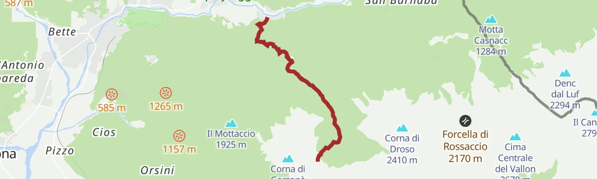
Open route Valtellina OutdoorGarzonedo in the Aurosina Valley
11.9 km away, in Piuro
A very steep climb into the Aurosina ravine above Piuro, to the bivouac the Chiavenna CAI built in this little-visited ground.
- 6.6 km
- Distance
- 1 484 m
- Ascent
- 5 h 29 min
- Duration
- 2
- Check-ins
Open route Valtellina OutdoorMai Tardi Refuge
3.7 km away, in Madesimo
A short climb from Madesimo on the Andossi path through larch and fir to the Mai Tardi hut at about 1,800 m.
- 1.7 km
- Distance
- 224 m
- Ascent
- 55 min
- Duration
- 7
- Check-ins
Open route Valtellina OutdoorMontespluga Black Lake
8.4 km away, in Madesimo
A short climb from the Montespluga reservoir past the Suretta falls to the Black Lake, a dark tarn the poet Giovanni Bertacchi wrote about.
- 2.3 km
- Distance
- 395 m
- Ascent
- 1 h 30 min
- Duration
Open route Valtellina OutdoorLe Marmitte dei Giganti
9.8 km away, in Chiavenna
A climb through the Marmitte dei Giganti reserve just outside Chiavenna to the Sasso del Drago, among glacial potholes ground into the rock.
- 9.8 km
- Distance
- 976 m
- Ascent
- 5 h 21 min
- Duration
- 4
- Check-ins
Cardinello Gorge
7.5 km away, in Madesimo
A walk from Isola into the Cardinello gorge, where the old road to the north is cut and stepped into the rock wall of the valley.
- 4.1 km
- Distance
- 11 m
- Ascent
- 1 h 33 min
- Duration
Open route Valtellina OutdoorMontespluga Val Loga bivouac
9.3 km away, in Madesimo
A climb from the Montespluga plain over pastures and then steep switchbacks to the Val Loga bivouac, first built in 1978.
- 4.5 km
- Distance
- 847 m
- Ascent
- 3 h 10 min
- Duration
- 34
- Check-ins
Open route Valtellina Outdoor






No routes of this kind in Campodolcino yet.
Planning a trip to Campodolcino?
Everything else Lombardy has, in one place


Take Campodolcino with you into the mountains
Every route on this page with 3D terrain, GPX navigation and offline maps — including the valleys with no signal.
Data sources
- Official website: italia.it ↗
- Routes and highlights: Valtellina Outdoor, in Lombardia, Romagnatoscanaturismo
- Published as open data by the tourist boards named above.
- Region summary generated from the board's own material.
