
 Historic site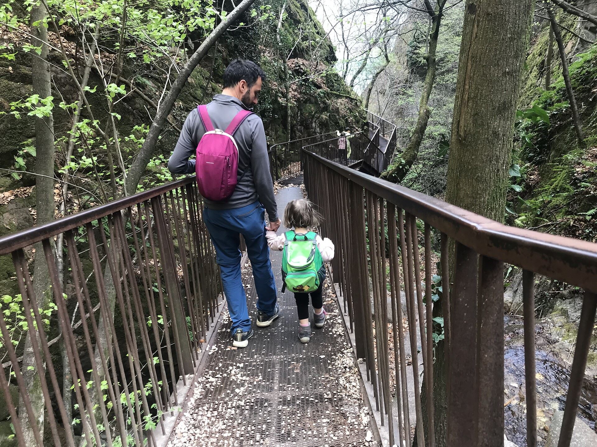
 Cable car











Curated by Kaltern an der Weinstraße
Caldaro sulla strada del vino/Kaltern an der Weinstraße
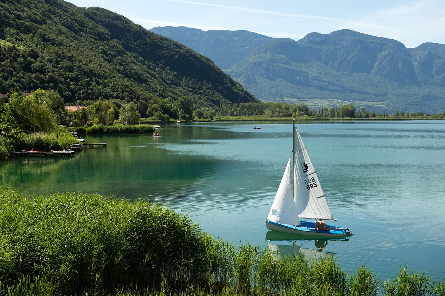
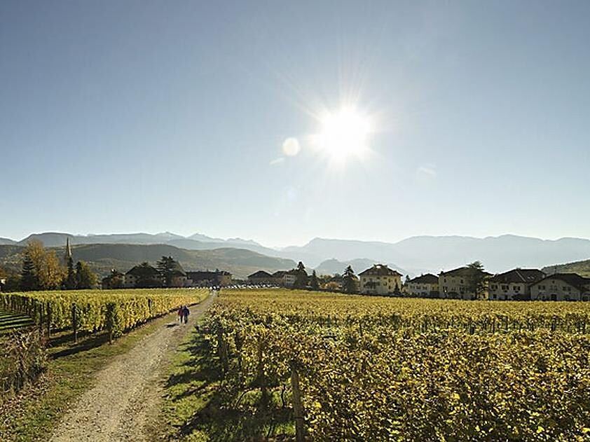
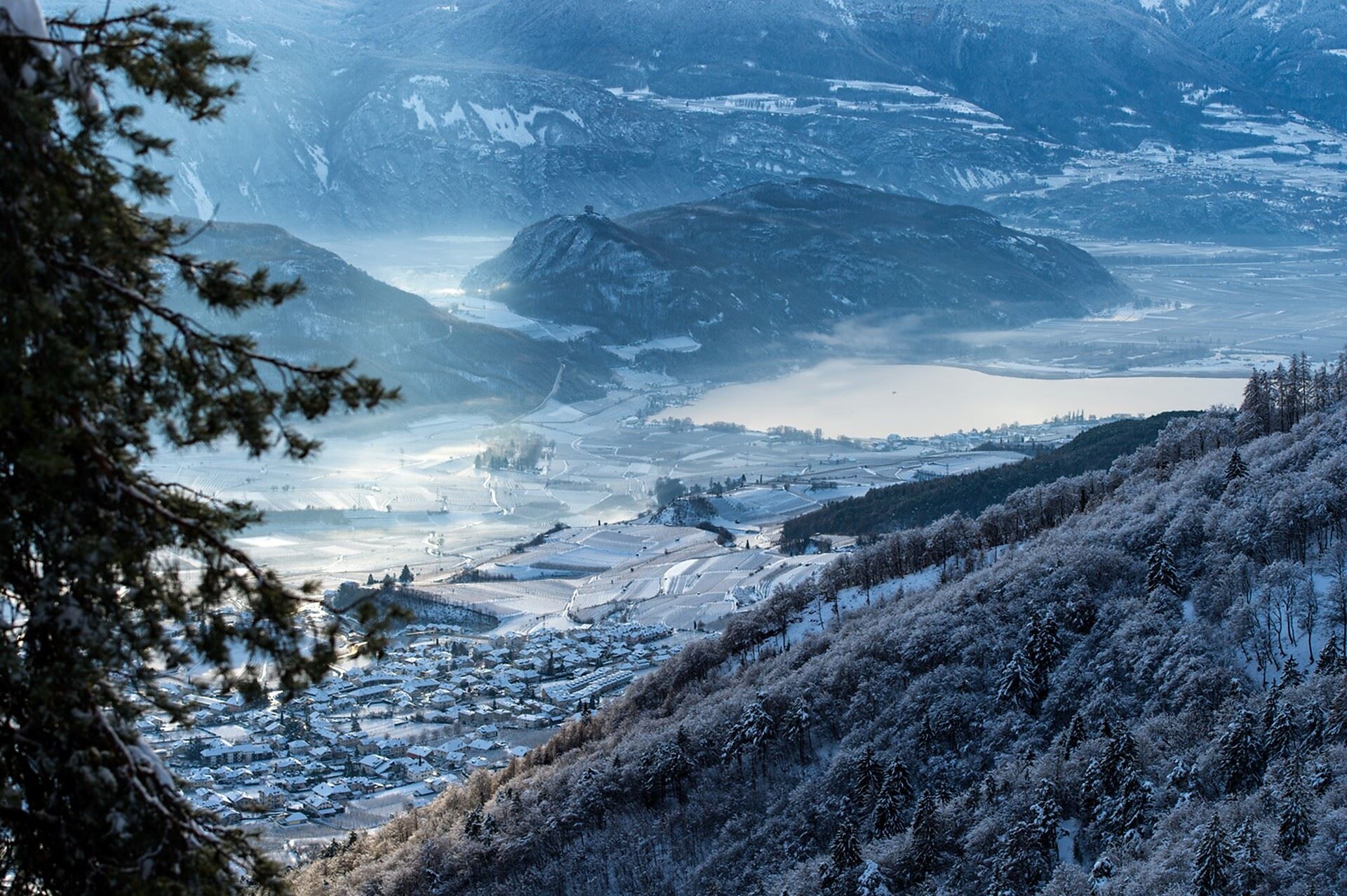
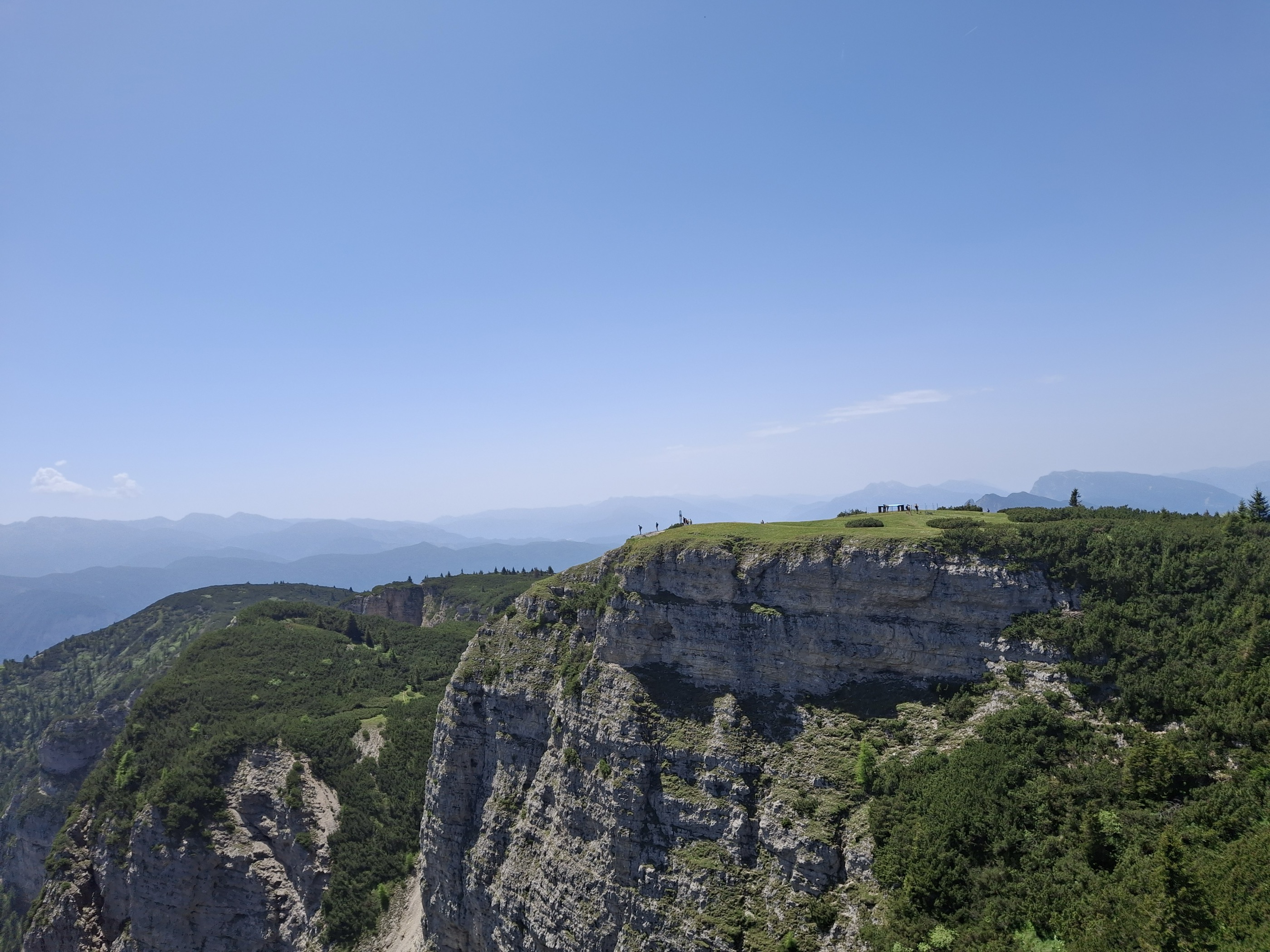
A Wine Road village above Lake Caldaro, the warmest bathing lake in the Alps, below the Mendola ridge.
Photo: NOTE: This image is a panorama consisting of multiple frames that were merged or stitched in Panorama Studio. As a result, this image necessarily underwent some form of digital manipulation. These manipulations may include blending, blurring, cloning, and color and perspective adjustments. As a result of these adjustments, the image content may be slightly different from reality at the points where multiple images were combined. This manipulation is often required due to lens, perspective, and parallax distortions. · CC BY-SA 3.0 licence
- 19Highlights
- 42Routes
- Featured summit · Roen
Highlights
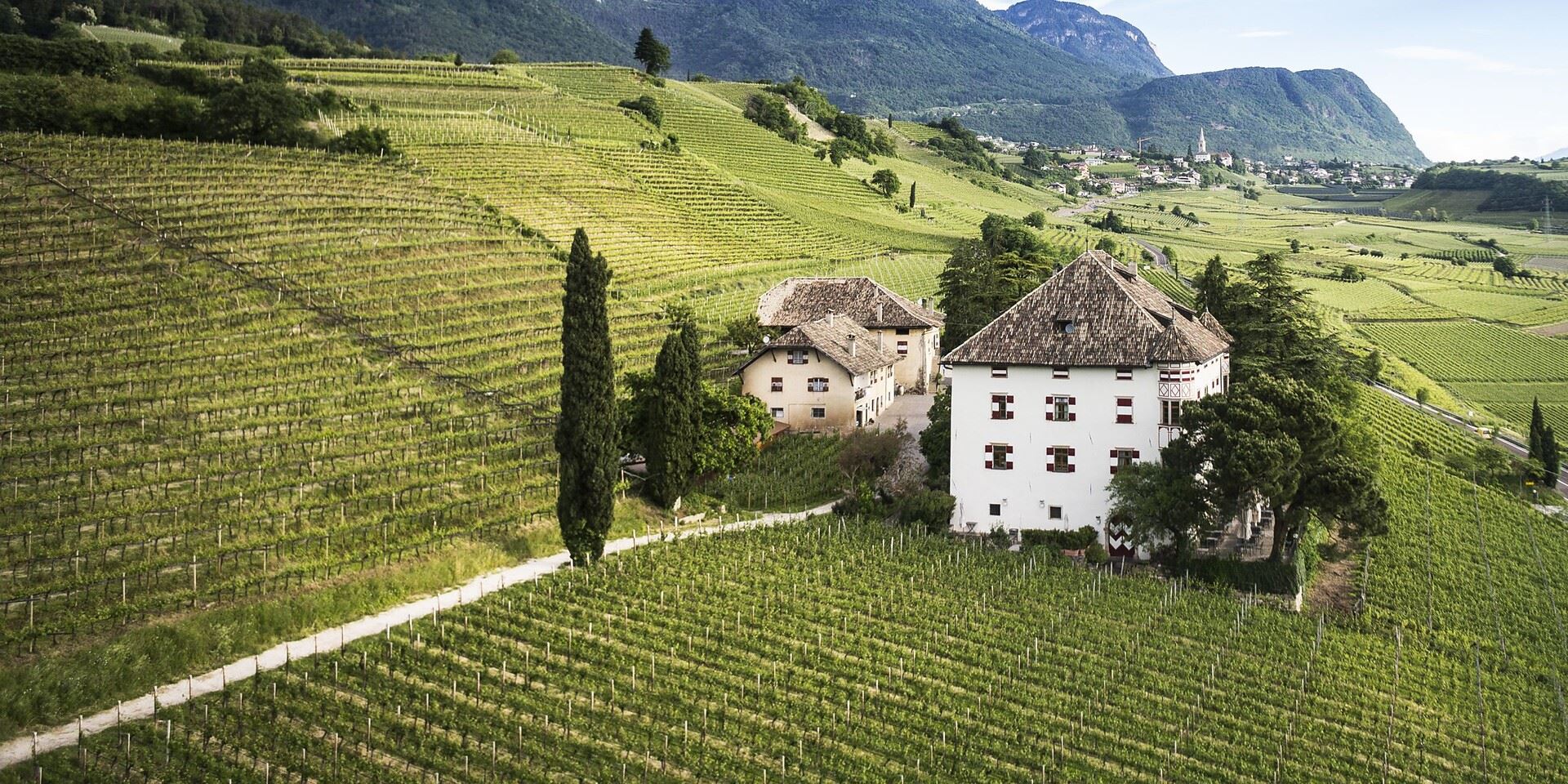
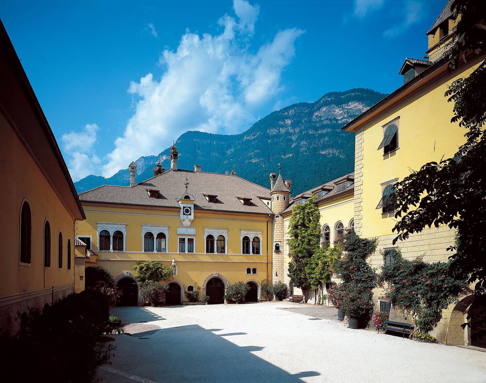
Castel Ringberg
A Renaissance manor of the prince-bishops above Lake Caldaro, still a working wine estate.
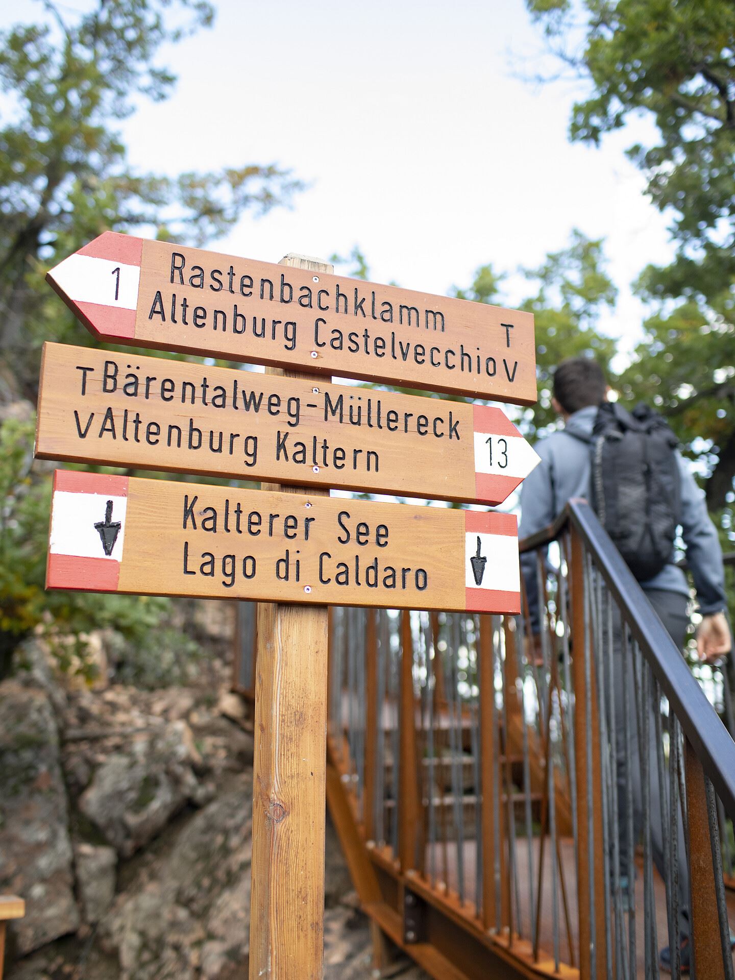
Castelvecchio (Gola Rastenbach)
The ruins of Castelvecchio above the Rastenbach gorge, on the path between Caldaro and its lake.
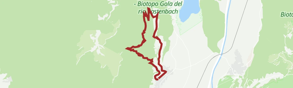
Da S. Antonio attraverso la Gola Rastenbach e il sentiero della Pace
The Rastenbach gorge above Caldaro, where a stepped path passes a Romanesque chapel on the way to the lake.
Lago di Caldaro
The warmest bathing lake in the Alps, in the vineyards below the Mendola ridge south of Bolzano.
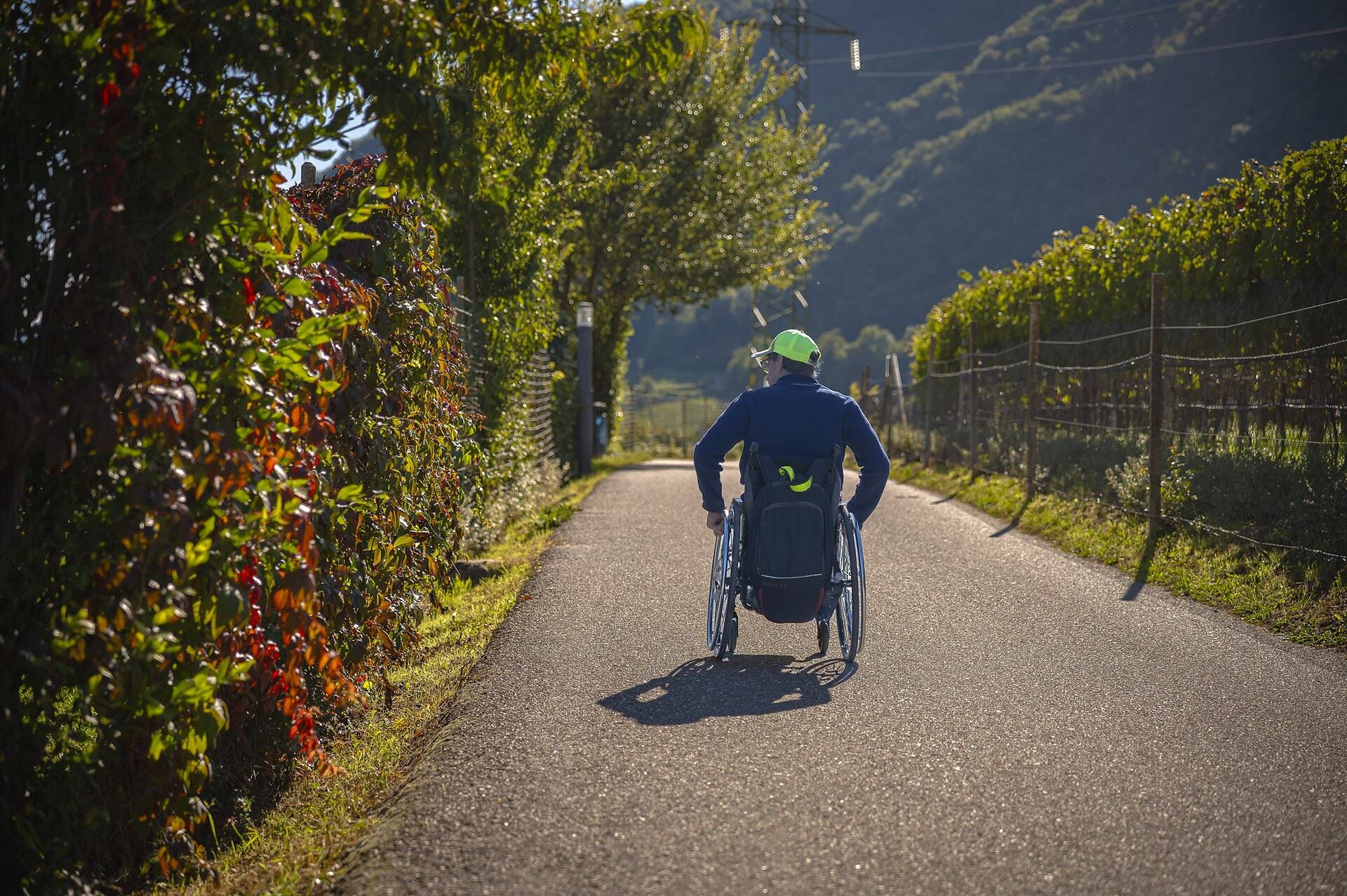
Percorso accessibile a tutti al lago
A level, step-free path around part of the Caldaro lake, the warmest bathing lake in the Alps.
Thalhof al Lago
A lakeside bathing house on Lake Caldaro, among the vineyards of the Wine Road.
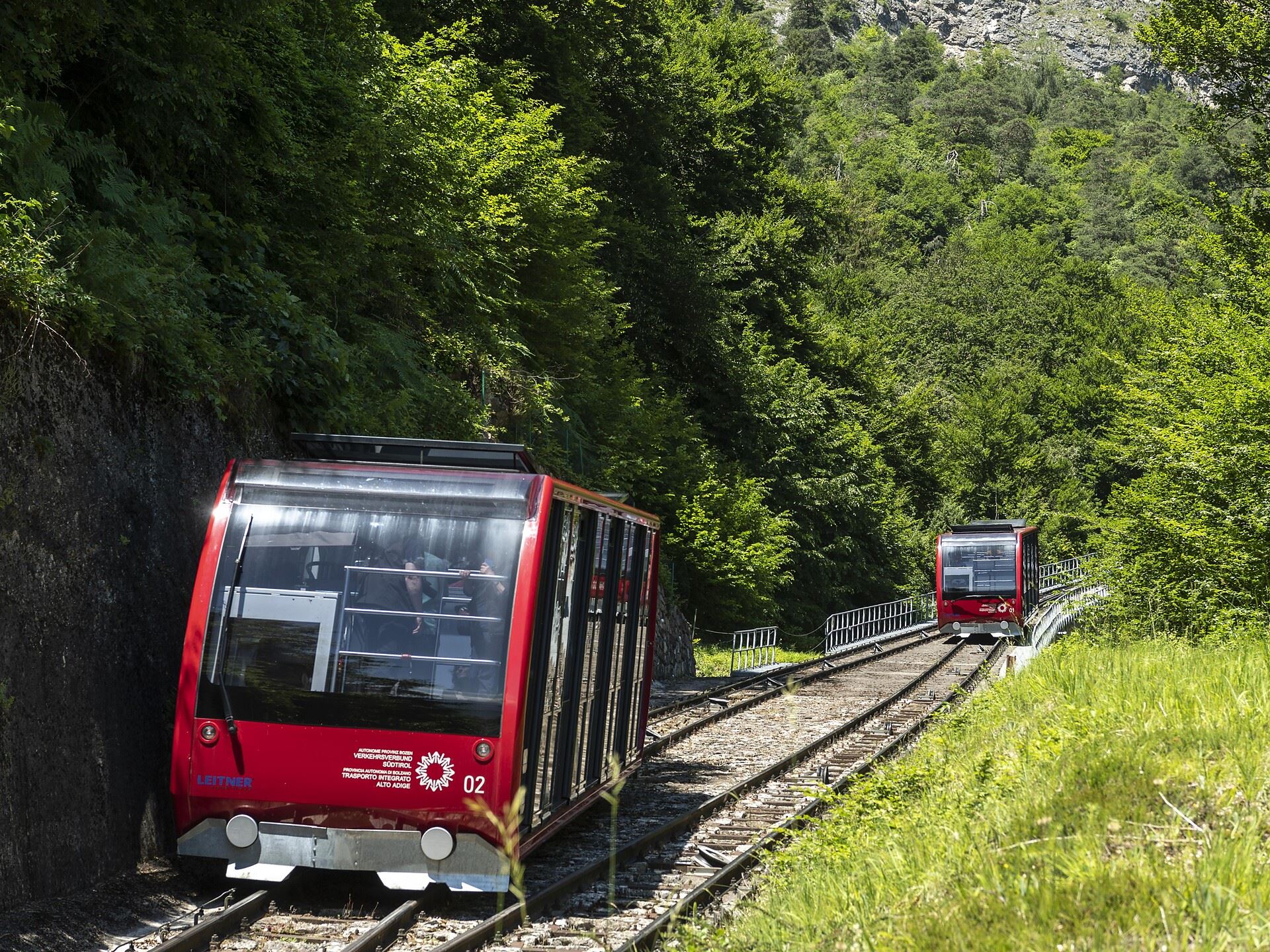
Funicolare della Mendola
The Mendola funicular, opened in 1903 and among the steepest in Europe, climbing from Caldaro to the pass at 1,363 m.
Niklaser Erlebnisweg
A themed walk above Caldaro through vineyards and chestnut woods to the hamlet of San Nicolò.
Castel Sallegg
A wine estate at Caldaro whose cellars and gardens date from the sixteenth century.
Percorso didattico sul vino di Castel Sallegg
A vineyard trail at Castel Sallegg above Caldaro, explaining the Lagrein and Schiava grown there.
Dal Passo Mendola al rifugio Mezzavia
A walk from the Mendola pass along the ridge to the Mezzavia hut, above Lake Caldaro.
Chiesa S. Caterina in Villa di Mezzo
The church of Santa Caterina at Villa di Mezzo, one of the wine hamlets around Caldaro.
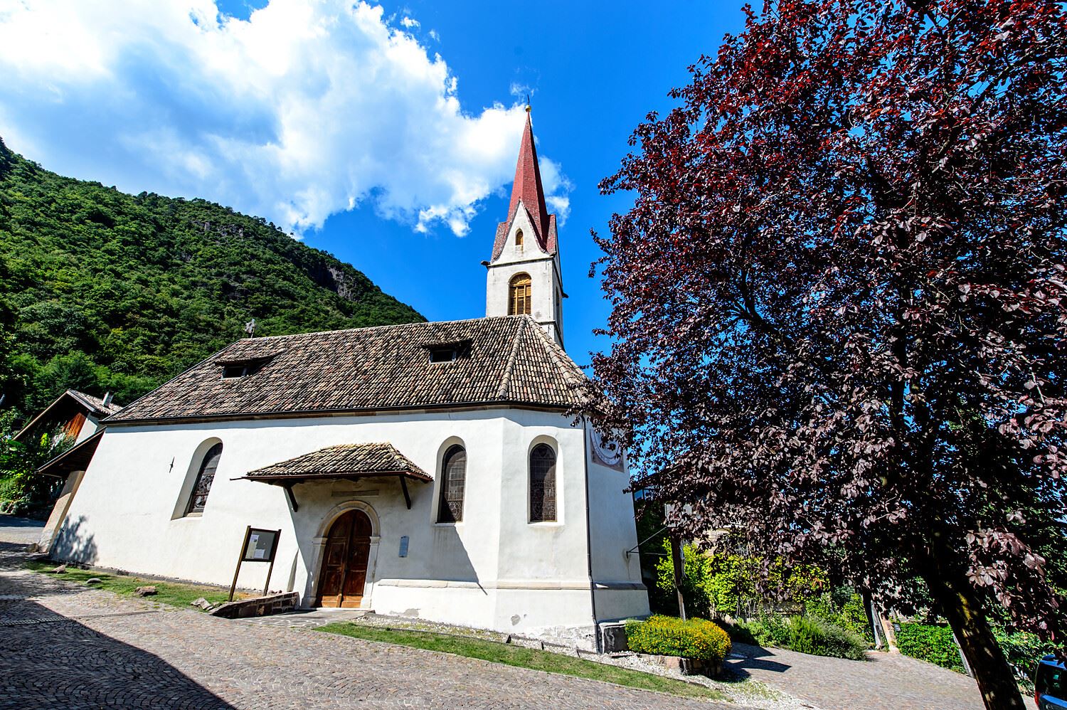
Chiesa S. Giovanni Battista a Pianizza di Sopra
The church of San Giovanni Battista at Pianizza di Sopra above Caldaro.
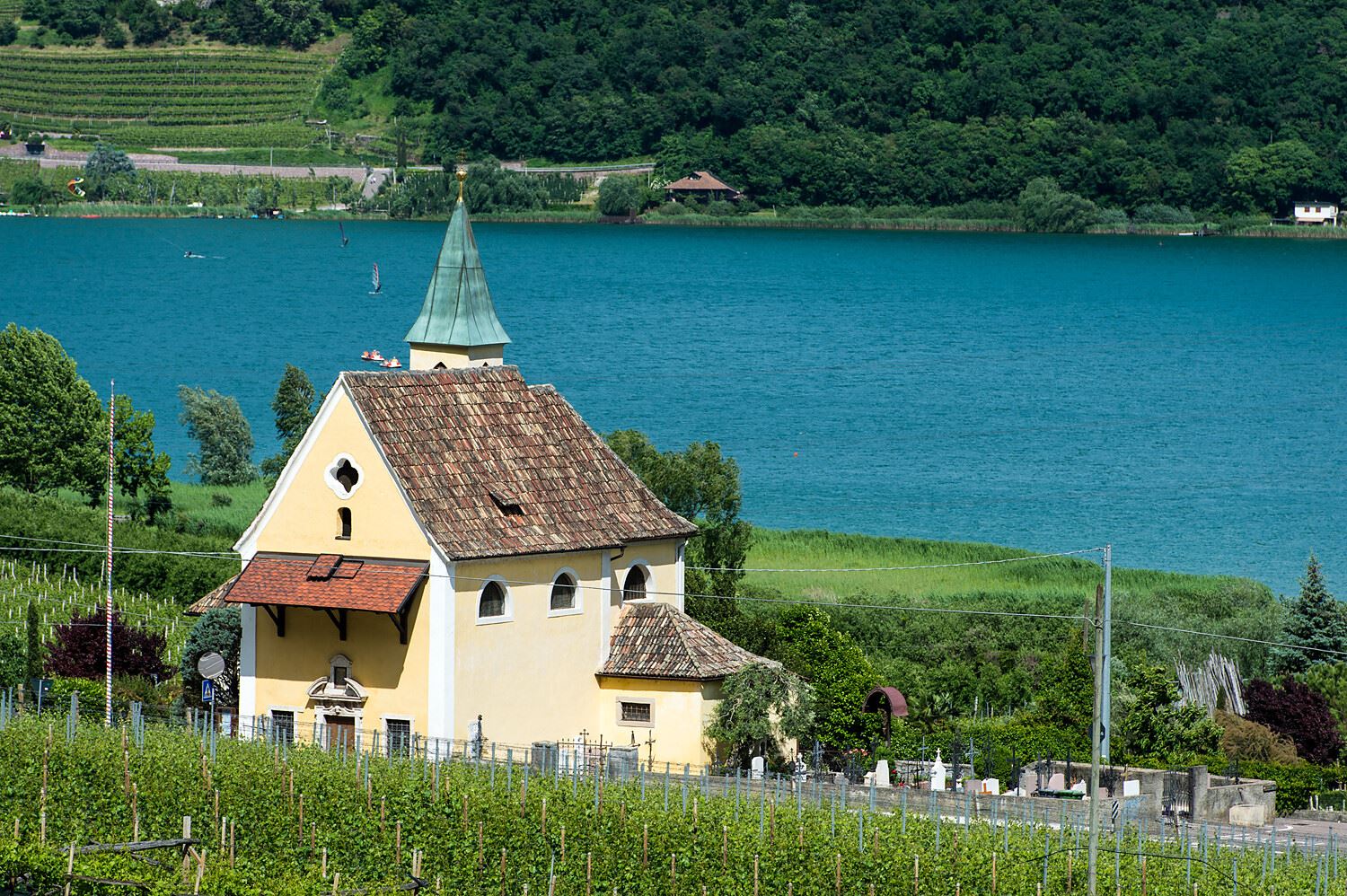
Chiesa S. Giuseppe al lago
The church of San Giuseppe on the shore of Lake Caldaro.
Chiesa S. Leonardo a Pianizza di Sotto
The church of San Leonardo at Pianizza di Sotto, in the vineyards above Lake Caldaro.
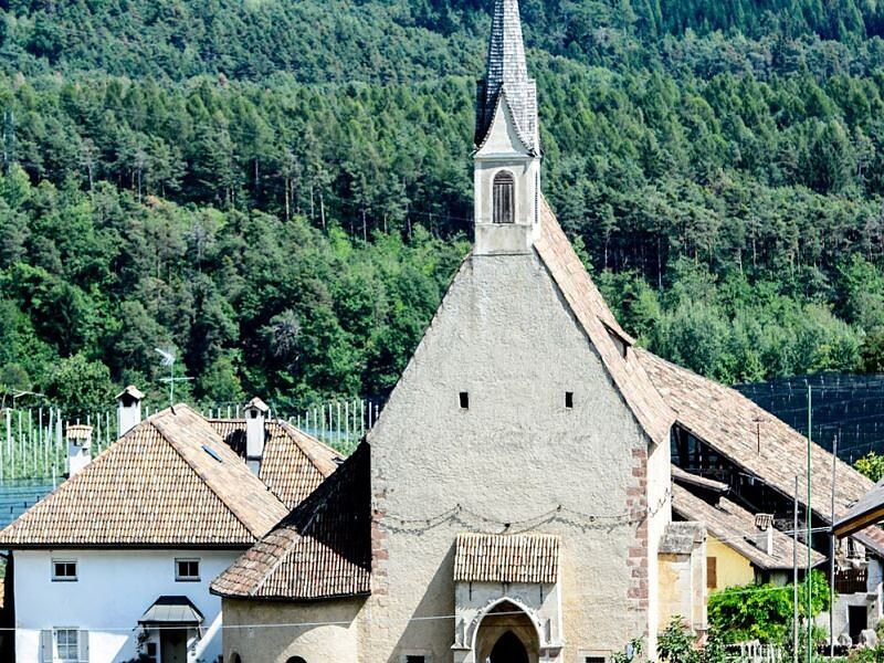
Chiesa S. Vigilio a Castelvecchio
The church of San Vigilio at Castelvecchio, above the Rastenbach gorge near Caldaro.
Chiesa a S. Antonio
The church of Sant'Antonio at Caldaro, on the terrace above the lake.
Chiesa dei frati francescani a Caldaro
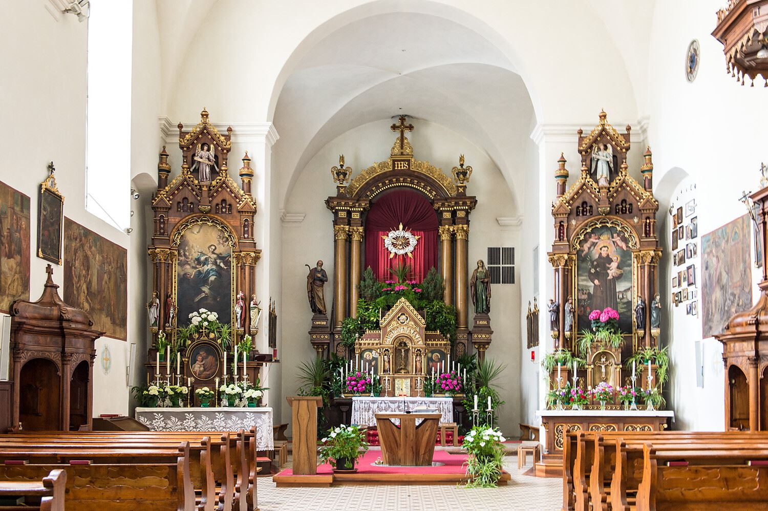
The Franciscan friars' church in Caldaro, on the Wine Road below the Mendola.
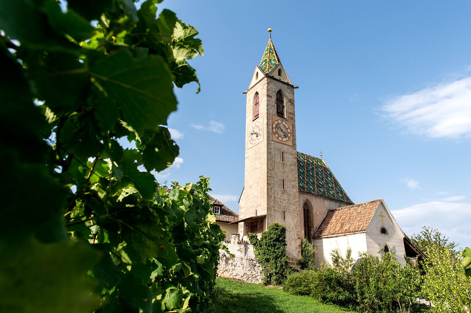
Chiesa parrocchiale S. Maria Assunta a Caldaro
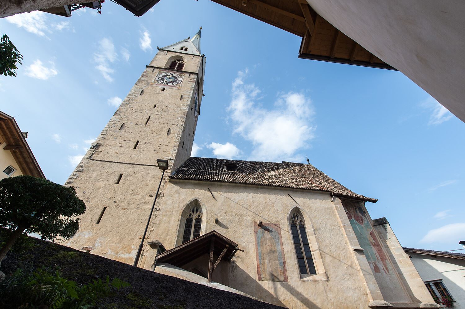
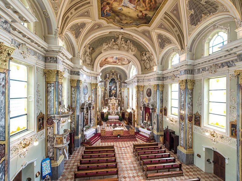
The parish church of Santa Maria Assunta in Caldaro, its Gothic tower rebuilt after a fire.
Nothing of this kind in Caldaro sulla strada del vino/Kaltern an der Weinstraße.
Routes
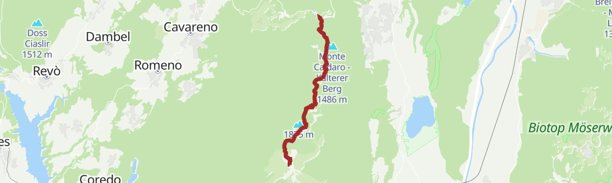
Dal Passo Mendola al rifugio Mezzavia
A broad, well-marked path from the Passo della Mendola past the Enzianhütte and through woods to the Halbweghütte.
- 3.5 km
- Distance
- 231 m
- Ascent
- 1 h 12 min
- Duration
- 76
- Check-ins
 Passo della Mendola - Mendelpass 1 363 m
 Rifugio Mezzavia - Halbweghütte 1 588 m
- Rifugio Genzianella - Enzianhütte 1 407 m
- Lavinascharte - Forcella della Lavina 1 617 m
Open route Sterzing, Pfitsch und FreienfeldMendel - Roen
A climb from the top of the Mendola funicular through forest and pasture to the Roen at 2,116 m, high above the Adige valley.
- 8.2 km
- Distance
- 758 m
- Ascent
- 3 h 22 min
- Duration
- 140
- Check-ins
 Roen 2 116 m
- Croce del Roen 2 108 m
- Sas de la Prieda 1 658 m
- Passo della Mendola - Mendelpass 1 363 m
- Malga Romeno 1 773 m
- Rifugio Mezzavia - Halbweghütte 1 588 m
- +2
Open route Südtirols SüdenM-18 Roen
A long route from the Adige valley at Termeno up to the Roen, its summit cross and the Sas de la Prieda on the Mendola ridge.
- 41.4 km
- Distance
- 2 005 m
- Ascent
- 14 h 49 min
- Duration
- 165
- Check-ins
M-22 Klapf MTB-Trail
A mountain-bike route above Tramin to the Klapf, climbing out of the vineyards into the woods below the Mendola.
- 14.3 km
- Distance
- 620 m
- Ascent
- 1 h 51 min
- Duration
- 8
- Check-ins
Ciclabile Appiano - Caldaro
A flat, easy link on the shared cycle and footpath, with a beaten-earth strip alongside for most of it if you would rather stay off the asphalt.
- 8.2 km
- Distance
- 11 m
- Ascent
- 44 min
- Duration
- 3
- Check-ins
Open route Sterzing, Pfitsch und FreienfeldMendola route
A big day from Mezzocorona with the Denno ramp and then the Passo della Mendola, returning through Val di Non orchards and Wine Road vineyards.
- 98.7 km
- Distance
- 1 622 m
- Ascent
- 10 h 17 min
- Duration
- 123
- Check-ins
- Dosso Santa Margherita 307 m
- Passo della Mendola - Mendelpass 1 363 m
- Azienda per il Turismo Val di Non 1 364 m
- La Rocchetta 2019 270 m
- Castel Ringberg 306 m
- Paradiso 1 282 m
- +11
Open route VisitTrentinoInfos für Ihren Südtirol Urlaub in Tramin
An easy walk on the vineyard slopes at Termeno on the South Tyrolean wine road, near the Lago di Caldaro.
- 6.1 km
- Distance
- 117 m
- Ascent
- 1 h 46 min
- Duration
- 9
- Check-ins
2. Kaltererseelauf
A run from Tramin down to the Kalterer See, the warmest bathing lake in the Alps, on the half-marathon course.
- 14.9 km
- Distance
- 108 m
- Ascent
- 3 h 45 min
- Duration
- 33
- Check-ins
R-21 Tramin-Mendelpass
A long climb from Tramin on the wine road up to the Mendel pass, on the ridge high above the Adige valley.
- 25.3 km
- Distance
- 1 135 m
- Ascent
- 7 h 44 min
- Duration
- 56
- Check-ins
Mountain Bike Adventure on the Caldaro High Path
A gravel circuit of about 10 km on wide forest roads in the Altenburger woods above Kaltern, starting at the sports grounds.
- 9.8 km
- Distance
- 307 m
- Ascent
- 1 h 10 min
- Duration
Open route Südtirols SüdenLoop with climb to Mendola Pass
A near-100 km road circuit from the Val di Non over into the Adige valley, returning by the climb to the Passo della Mendola.
- 98.9 km
- Distance
- 1 712 m
- Ascent
- 10 h 23 min
- Duration
- 117
- Check-ins
- Dosso Santa Margherita 307 m
- Passo della Mendola - Mendelpass 1 363 m
- Azienda per il Turismo Val di Non 1 364 m
- La Rocchetta 2019 270 m
- Maso Cervara 245 m
- Castel Ringberg 306 m
- +8
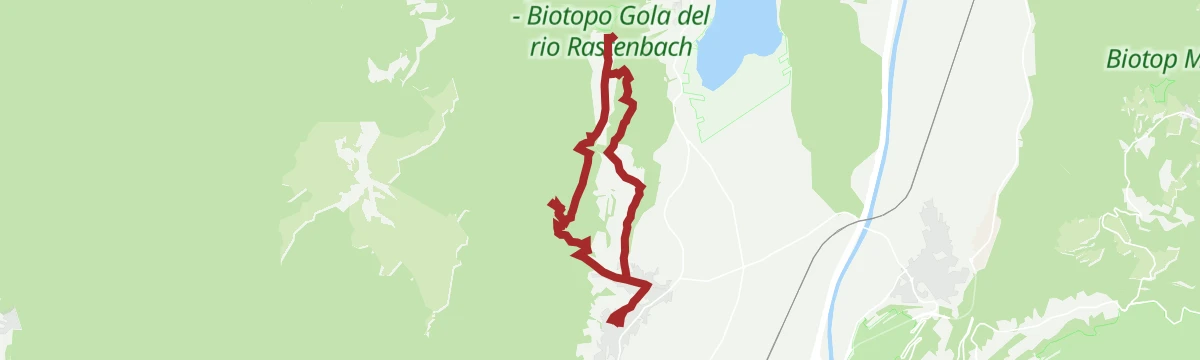
Open route APT Val di NonThe Rastenbach gorge
A short walk into the Rastenbach gorge above Caldaro, on steps and footbridges beside the stream.
- 2.5 km
- Distance
- 165 m
- Ascent
- 1 h 7 min
- Duration
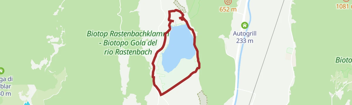
Open route Südtirols SüdenLake Kaltern hiking tour
A level family circuit of Lake Caldaro, the warmest lake for swimming anywhere in the Alps and walkable in any season.
- 7.5 km
- Distance
- 20 m
- Ascent
- 1 h 49 min
- Duration
- 27
- Check-ins
Open route Südtirols SüdenM-19 Rosszähne
A long route above Tramin towards the Rosszaehne rocks, on the wooded slopes under the Mendola ridge.
- 21.6 km
- Distance
- 539 m
- Ascent
- 6 h 23 min
- Duration
- 16
- Check-ins
From the Plateau to the "Wine-road"
A long road tour down to the Adige and north along the South Tyrolean wine road as far as the Lago di Caldaro, returning over Passo Santel.
- 100.2 km
- Distance
- 1 290 m
- Ascent
- 10 h 6 min
- Duration
- 105
- Check-ins
- Tre3 1 037 m
- Albergo El Paso 1 036 m
- Passo Santel 1 040 m
- La Rocchetta 2019 270 m
- Maso Cervara 245 m
- APT Dolomiti Paganella 1 021 m
- +14
Open route APT Dolomiti di Brenta e PaganellaEscursione circolare al Lago di Caldaro
A circuit of Lake Caldaro on flat ground between the reed beds and the vineyards of the Oltradige.
- 8.6 km
- Distance
- 30 m
- Ascent
- 2 h 6 min
- Duration
- 13
- Check-ins
Open route Kaltern an der WeinstraßeValle della Primavera, Laghi di Monticolo e Castelchiaro
A long round on the Monte di Mezzo above Caldaro, through the Valle della Primavera to the Monticolo lakes and the ruins of Castelchiaro.
- 17.5 km
- Distance
- 605 m
- Ascent
- 5 h 35 min
- Duration
- 13
- Check-ins
Open route Sterzing, Pfitsch und FreienfeldRoadbike: Valle di Cembra
A hundred-kilometre road tour from the Weinstraße down to Lavis, then up the terraced Cembra valley and back over the San Lugano pass.
- 99.7 km
- Distance
- 1 141 m
- Ascent
- 9 h 55 min
- Duration
- 64
- Check-ins
- Prati Del Diavolo 208 m
- Cappella della Beata Vergine del Rosario della nuova Pompei 985 m
- Al Ponte - Brückenwirt 764 m
- Ristorante Bar Vecchia Stazione 1 010 m
- B&B Casa Giovannelli 1 013 m
- Hotel Pausa 922 m
- +10
Open route Südtirols SüdenTramin
A circuit above Tramin over the Monte del Lago, on the slopes between the vineyards and the Mendola ridge.
- 13.0 km
- Distance
- 471 m
- Ascent
- 4 h 13 min
- Duration
- 9
- Check-ins
M-10 Power Trail
A long route above Tramin to the Sas delle Otto, climbing out of the vineyards onto the wooded Mendola flank.
- 23.7 km
- Distance
- 384 m
- Ascent
- 6 h 29 min
- Duration
- 3
- Check-ins
Radweg Unterland
A vineyard circuit south from Kurtatsch to Margreid, home of a grapevine planted in 1601, and Salurn, back along the Adige and past Lake Kaltern.
- 44.3 km
- Distance
- 254 m
- Ascent
- 4 h 10 min
- Duration
- 45
- Check-ins
- Appartement Florian 255 m
- Castelfeder - Grill-Imbiss - ristoro 221 m
- Turismusverein Kurtatsch - Informazioni Turistiche Cortaccia 344 m
- Pub Pizzeria Weinstraße 295 m
- Tramin 277 m
- Viktor's Imbiss 223 m
- +2
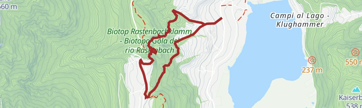
Open route Südtirols SüdenDurch die Rastenbachklamm
A walk through the Rastenbach gorge on stepped paths and bridges, between Tramin and the Kalterer See.
- 5.5 km
- Distance
- 388 m
- Ascent
- 2 h 33 min
- Duration
- 7
- Check-ins
Bike Tour: Waltherplatz
A long day from Kurtatsch to Bolzano on the Adige cycle path, returning over the Überetsch railway line through Eppan, Kaltern and Tramin.
- 62.7 km
- Distance
- 505 m
- Ascent
- 6 h 2 min
- Duration
- 39
- Check-ins
- Tourist Information 261 m
- Maso al Lago - Schenk 237 m
- Castelfeder - Grill-Imbiss - ristoro 221 m
- Turismusverein Kurtatsch - Informazioni Turistiche Cortaccia 344 m
- Tramin 277 m
- Freisingerhof 329 m
- +1
Open route Südtirols SüdenAttraverso la Valle della Primavera
An easy walk up the Valle della Primavera from Caldaro to the village of Monticolo, through the woods of the Monte di Mezzo.
- 9.1 km
- Distance
- 280 m
- Ascent
- 2 h 50 min
- Duration
- 6
- Check-ins
Open route Sterzing, Pfitsch und FreienfeldM-05 Montiggler Seen
A hilly tour from Tramin up through the woods to the two lakes above Montiggl, returning along the shore of the Kalterer See.
- 36.4 km
- Distance
- 609 m
- Ascent
- 3 h 48 min
- Duration
- 37
- Check-ins
Hike to the Horse Teeth rock formations and Castle Leuchtenburg
A walk up to the Rosszähne rock towers and a hilltop castle ruin, looking down on the vineyards and the warm bathing lake in the valley.
- 10.5 km
- Distance
- 469 m
- Ascent
- 3 h 37 min
- Duration
- 3
- Check-ins
Open route Südtirols SüdenG-GE-03 Etschradweg
A long, level ride on the Adige valley cycleway, between the vineyards of Tramin, the shore of the Kalterer See and Castelfeder.
- 56.2 km
- Distance
- 283 m
- Ascent
- 5 h 14 min
- Duration
- 33
- Check-ins
Vom Gummererhof zur Göllerwiese
A steep climb from the Gummererhof above Tramin up to the Goller meadow, on the wooded slope below Monte Roen.
- 7.8 km
- Distance
- 825 m
- Ascent
- 5 h 1 min
- Duration
- 1
- Check-ins
Auer/Ora - Kalterer See Round
A gentle climb from Ora through vineyards and orchards over the Kreiter saddle to the Kalterer See.
- 17.9 km
- Distance
- 181 m
- Ascent
- 1 h 45 min
- Duration
- 32
- Check-ins
Open route Südtirols SüdenEscursione alla rovina di Castelchiaro
A climb on the Monte di Mezzo to the ruins of Castelchiaro, passing the warm air holes and the rocks of the Denti di Cavallo.
- 7.4 km
- Distance
- 391 m
- Ascent
- 2 h 48 min
- Duration
Open route Sterzing, Pfitsch und FreienfeldBike tour: Lake Monticolo- Lake di Caldaro
A ride from Neumarkt and Auer up to the two Montiggl lakes on a forest road, returning down the western shore and through Tramin and Rungg.
- 39.9 km
- Distance
- 493 m
- Ascent
- 3 h 60 min
- Duration
- 31
- Check-ins
- Seehotel Ambach 223 m
- Castelfeder - Grill-Imbiss - ristoro 221 m
- Turismusverein Kurtatsch - Informazioni Turistiche Cortaccia 344 m
- Tramin 277 m
- Viktor's Imbiss 223 m
- Freisingerhof 329 m
Open route Südtirols SüdenSouthern Wine Route, Wine & bike: Gewürztraminer and Pinot Noir
A wine-village tour to Salorno and back by way of Egna, Ora and Lake Kaltern, over the Kreiter Sattel; the Salorno-Ora leg can go by train.
- 46.8 km
- Distance
- 410 m
- Ascent
- 4 h 32 min
- Duration
- 31
- Check-ins
- Seehotel Ambach 223 m
- Appartement Florian 255 m
- Castelfeder - Grill-Imbiss - ristoro 221 m
- Turismusverein Kurtatsch - Informazioni Turistiche Cortaccia 344 m
- Tramin 277 m
- Kreiter Sattel - Sella di Novale al Varco 382 m
- +5
Open route Südtirols SüdenUna piacevole escursione in bici al Lago di Caldaro
A long flat ride from Cortaccia along the Adige valley to Lake Caldaro, through vineyards and orchards.
- 28.9 km
- Distance
- 137 m
- Ascent
- 2 h 42 min
- Duration
- 27
- Check-ins
Kalterer See
An easy family loop round the warmest lake in the Alps, through the orchards and vineyards on its shore.
- 17.0 km
- Distance
- 79 m
- Ascent
- 1 h 35 min
- Duration
- 22
- Check-ins
Open route Südtirols SüdenCycling and Sightseeing: Leuchtenburg/Castelchiaro Round Tour at Lake Caldaro
A round from Klughammer on the Kalterer See up to the Leuchtenburg ruin and back along the shore.
- 24.8 km
- Distance
- 243 m
- Ascent
- 2 h 26 min
- Duration
- 21
- Check-ins
- Seehotel Ambach 223 m
- Appartement Florian 255 m
- Castelfeder - Grill-Imbiss - ristoro 221 m
- Kreiter Sattel - Sella di Novale al Varco 382 m
Open route Südtirols SüdenBike Tour:Unterland
A tour of the southern wine villages from Kurtatsch by way of Margreid and Kurtinig to Salurn, with the Haderburg above and Laag on the way home.
- 46.3 km
- Distance
- 348 m
- Ascent
- 4 h 26 min
- Duration
- 19
- Check-ins
- Castelfeder - Grill-Imbiss - ristoro 221 m
- Turismusverein Kurtatsch - Informazioni Turistiche Cortaccia 344 m
- Tramin 277 m
- Viktor's Imbiss 223 m
- Freisingerhof 329 m
- Maval - Centro di Ippoterapia - Hippotherapiezentrum 209 m
- +3
Open route Südtirols SüdenMitterberg Round
A paved circuit of the Mitterberg from Ora, through the vineyards and orchards of the lower Adige.
- 39.2 km
- Distance
- 260 m
- Ascent
- 3 h 43 min
- Duration
- 19
- Check-ins
Open route Südtirols SüdenBassa Atesina/Unterland Tour
A run along the South Tyrolean wine road, taking in the arcades of Egna, Cortaccia and Termeno.
- 25.2 km
- Distance
- 204 m
- Ascent
- 2 h 26 min
- Duration
- 18
- Check-ins
- Castelfeder - Grill-Imbiss - ristoro 221 m
- Turismusverein Kurtatsch - Informazioni Turistiche Cortaccia 344 m
- Tramin 277 m
- Viktor's Imbiss 223 m
- Freisingerhof 329 m
Open route Südtirols SüdenCentral Wine Route, Wine & bike: Pinot Blanc and Schiava
A circular ride through the vineyard villages of Girlan, Eppan and Kaltern, starting by the Kaltern wineries and passing the Montiggl lakes.
- 23.3 km
- Distance
- 472 m
- Ascent
- 2 h 31 min
- Duration
- 15
- Check-ins
- Seehotel Sparer 507 m
- Tourist Info 418 m
- Lanserhof 464 m
- Caldaro al lago | Kaltern am See 435 m
- Restaurant Pizzeria Lido Montiggl 499 m
Open route Südtirols SüdenDa Naturno al Lago di Caldaro
A long, nearly flat run down the Adige from Naturno by Lana and San Paolo to the Kalterer See.
- 56.9 km
- Distance
- 203 m
- Ascent
- 5 h 21 min
- Duration
- 15
- Check-ins
- Castel Ringberg 306 m
- Laterne 516 m
- Naturbar 257 m
- Naturbad Gargazon 255 m
- Minigolf Treff Algund 376 m
- Al Puntogiusto 257 m
Open route Sterzing, Pfitsch und FreienfeldVia Claudia Augusta, Andriano-Appiano-Caldaro-Salorno
The Überetsch line of the old Roman road, climbing to San Paolo and following the wine road south to Salorno.
- 37.4 km
- Distance
- 211 m
- Ascent
- 3 h 32 min
- Duration
- 9
- Check-ins
Open route Südtirols SüdenCycling Delight in the South Tyrolean Unterland
An easy circuit of the Unterland on level lanes below Castelfeder, with almost no climbing.
- 36.3 km
- Distance
- 33 m
- Ascent
- 3 h 15 min
- Duration
- 8
- Check-ins
- Castelfeder - Grill-Imbiss - ristoro 221 m
- Viktor's Imbiss 223 m
- Höfelen 273 m
- Ansitz Karneid 223 m
- Baita Garba Garbenhütte 224 m
Open route Südtirols Süden
No routes of this kind in Caldaro sulla strada del vino/Kaltern an der Weinstraße yet.
The region's own picks
Featured route
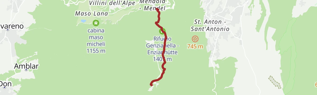
Dal Passo Mendola al rifugio Mezzavia
A broad, well-marked path from the Passo della Mendola past the Enzianhütte and through woods to the Halbweghütte.
Planning a trip to Caldaro sulla strada del vino/Kaltern an der Weinstraße?
Everything else Trentino-Alto Adige/Südtirol has, in one place


Take Caldaro sulla strada del vino/Kaltern an der Weinstraße with you into the mountains
Every route on this page with 3D terrain, GPX navigation and offline maps — including the valleys with no signal.
Data sources
- Official website: suedtirol.info ↗
- Routes and highlights: Kaltern an der Weinstraße, Südtirols Süden, Tramin an der Weinstraße, Sterzing, Pfitsch und Freienfeld, VisitTrentino, APT Val di Non, APT Dolomiti di Brenta e Paganella, Suedtiroler Unterland
- Published as open data by the tourist boards named above.
- Region summary generated from the board's own material.
